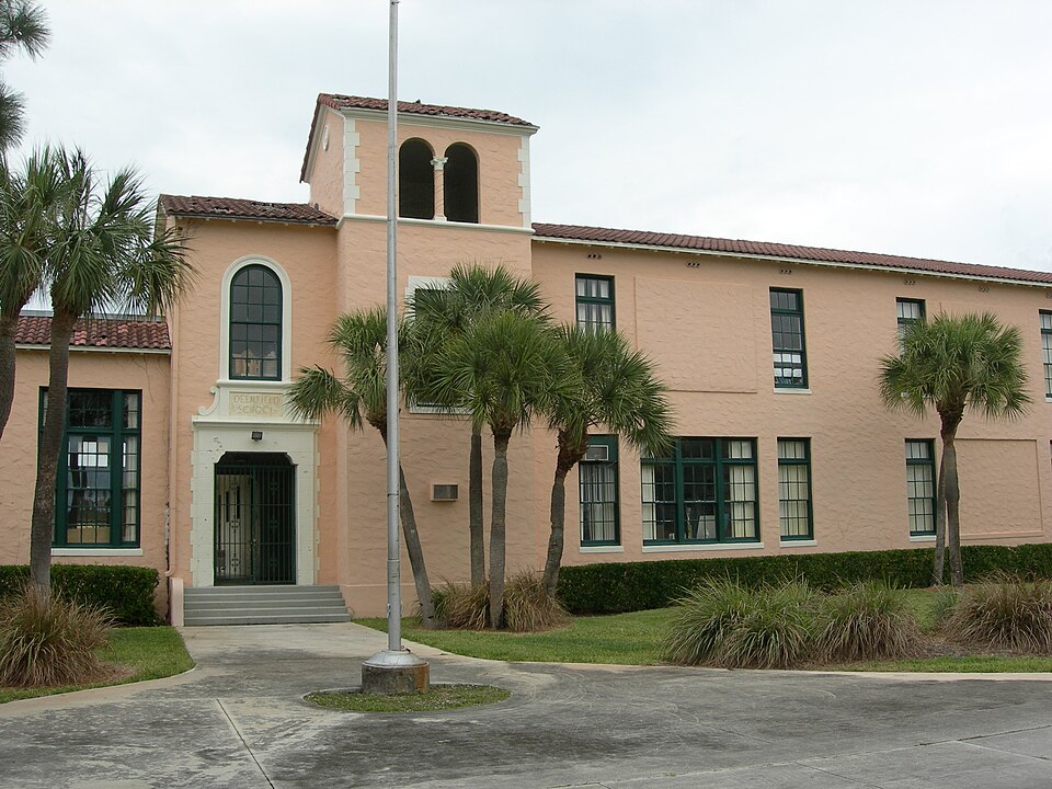
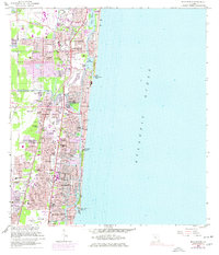
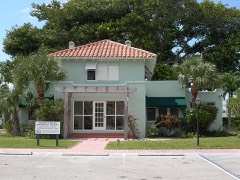
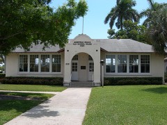
Built in 1927. Listed on the National Register of Historic Places in 1990. 9 historic topographic surveys show this location, the earliest from 1946.
From the record
“The Deerfield Beach Elementary School is a historic school in Deerfield Beach, Florida. It is located at 651 Northeast 1st Street and is in the Broward County Public Schools school district.”
Wikipedia article Deerfield Beach Elementary School, CC BY-SA 4.0.
One of 39 National Register listings published here for Broward County · listed in 1990 · category: Building · built in 1927, by Thomas D. McLaughlin.
National Register reference number.90000319- the number the National Park Service assigned this property when it was listed, and the key its nomination file is catalogued under at the National Archives.
Then and now
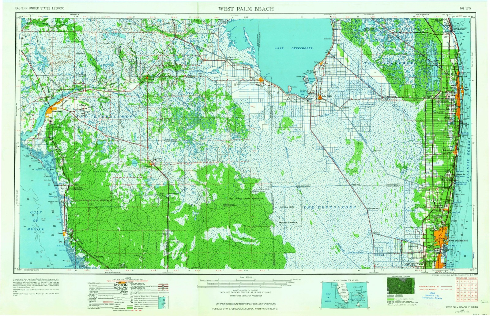
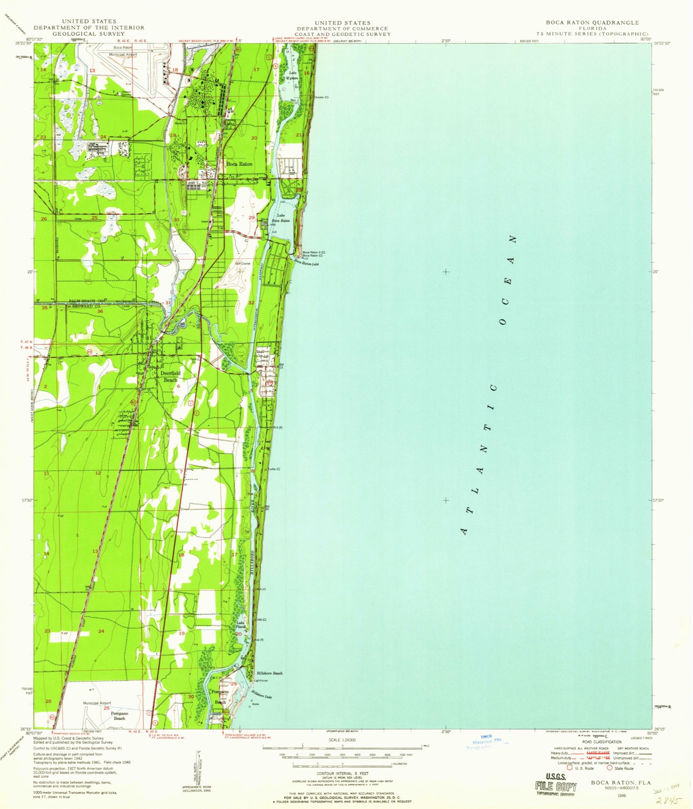
1946 to 1956
The ground this property stands on, surveyed
10 years apart. Drag the handle to wipe between them. Both sheets are
United States Geological Survey originals; neither has been altered.
19461956
Fires near this property
10 since 2005
Regional context, not property-specific
evidence. The
federal wildfire occurrence database
lists 10 fires within 5 miles of Deerfield School
between 2005 and 2019, burning about 75 acres in total. None started naturally. 4 were recorded as arson.
Distance is straight-line from the map coordinates, so a fire counted
here may appear on a neighbouring settlement's page as well.
Reported cause
Fires
Arson/incendiarism
4
Missing data/not specified/undetermined
2
Misuse of fire by a minor
1
Recreation and ceremony
1
Smoking
1
Power generation/transmission/distribution
1
The most recent of
them, most recent first, with the day each was reported and the service
that recorded it.
Regional context, not property-specific
evidence. The federal mineral resources record lists
6 workings within 5 miles of Deerfield School: 5 producers, 1 past producer.
5 still produce. What was taken out: Stone, Crushed/Broken, Sand and Gravel, Construction, Sand. Distance is straight-line from the
map coordinates, so a quarry counted here may appear on a neighbouring
settlement's page as well.
Regional context, not property-specific
evidence. The National Weather Service names
Deerfield Beach, the town this property stands in, in 21 storm reports between 1997 and 2025: 5 thunderstorm wind, 4 lightning, 3 waterspout, 2 tornado.
The reports record 2 deaths and 5 injuries. Each account below is quoted exactly as the forecast office
filed it, from the NOAA Storm Events Database, and each date
opens the federal record of that event.
Strong onshore winds continued during the second day of the three-day Labor Day Weekend. Two local residents swimming in the ocean late at night were caught in a rip current. One of the women drowned. On Saturday and Sunday, August 30 and 31, more than 100 persons were rescued from rip currents along the beaches of southeast Florida.
A 36-year-old man was killed when lightning struck his tank while scuba diving off the coast near Deerfield Beach. The man had just resurfaced when lightning struck his tank. Frequent lightning and very heavy rain was occurring at the time of the lightning strike.
Touched down near dixie just north of Sample Rd. Proeceeded north northwest to Pompano Beach High School on SW 15th ST then proceeded northeast to SE 2nd AVE/SE 10th ST. The tornado may have skipped off the ground a few times. At Deerfield High School a dugout on the athletic field was destroyed. At SE 10th ST/SW First Way several trees were uprooted and roofing material travelled two blocks through the air. There was a report of a dumpster traveling rapidly down the street. Most of the damage was uprooted trees...damaged roofs and power outages. Car accidents resulted and commercial signs were destroyed.
An air conditioning repairman was knocked down and injured by a nearby lightning strike while working on the roof of a four-story condominium. He was transported to a hospital with numbness on his right side.
Picture received via twitter of a large tree toppled onto a parked car in Deerfield Beach. Time estimated based on radar and nearby reports of strong wind gusts and damage.|Nearest ASOS at Pompano Beach Airpark recorded a peak wind gust of 57 mph/49 knots. Small hail (approximately 0.50 inches) was also reported from MPING with this thunderstorm.
Both a NWS employee and members of the public reported flooding in the Palm Beach County area. Traffic reports of flooding in the vicinity of Interstate 95 South and west of Clear Lake. Also, a NWS employee reported a parking lot flooded near the intersection of South Military Trail/Florida Highway 809 and Summit Boulevard.
A crane was struck by lightning at the Dixie Flyover construction site. The current traveled down the crane and to the operator. The operator suffered first degree burns on his right arm and abdomen.
Multiple supercells and a squall line moved through South Florida the morning of the 29th. Heavy Rainfall and poor drainage combined to cover and even close some streets in Deerfield Beach including portions of SE 2nd Street, SE 8th Avenue, SE 9th Street, and SW 34th Avenue.
Waterspouts witnessed by several people came onshore near the Deerfield Beach Pier as a tornado. The tornado lasted about 1 minute before dissipating. No damage was reported.
Public and law enforcement reported flooding of homes, cars, and streets in northeastern Broward County from Deerfield Beach south to Pompano Beach and Oakland Park. Persistent showers developed over northeastern Broward County late in the evening of Friday 11/19 and reached its peak during the early morning hours of Saturday 11/20. Doppler radar estimated up to 5 inches of rain in a two-hour period between midnight and 2:00 AM over these areas.
United States Geological Survey topographic
sheets whose coverage includes this point. Matched by taking the coordinate the National Park Service records for this property, then
testing that coordinate against the published boundary of every sheet.
Other National Register properties close
enough to walk or drive between, ordered by distance from this one. Both
positions come from the same geocoding pass that matched these properties
to their map sheets.
Listing record. National Park Service National Register of Historic Places, listed-properties dataset, current to 2026-05-22.
Map join. Address geocoded through the United States Census geocoder, then tested against the published boundary of every sheet in the USGS Historical Topographic Map Collection.
How this page is made. Listing fields come from federal records; map-sheet coverage is a labelled coordinate-to-boundary calculation, not a source-field claim.
Wildfire. Short, Karen C. 2022. Spatial wildfire occurrence data for the United States, 1992-2020 [FPA_FOD_20221014]. 6th Edition. Fort Collins, CO: Forest Service Research Data Archive. https://doi.org/10.2737/RDS-2013-0009.6 Collected with United States Government funding and usable without additional permissions or fees.
Mines and quarries. USGS Mineral Resources Data System (MRDS) https://mrdata.usgs.gov/mrds/ A work of the United States government, no copyright under 17 U.S.C. 105.
Storms. NOAA National Centers for Environmental Information, Storm Events Database https://www.ncei.noaa.gov/stormevents/ A work of the United States government, no copyright under 17 U.S.C. 105. Narratives are quoted verbatim from the National Weather Service report and are not edited or summarised.
 Block
Block