BlockBefore
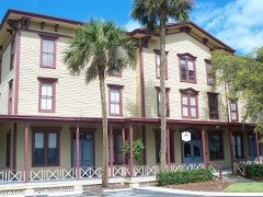
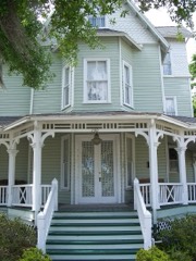
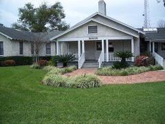
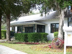
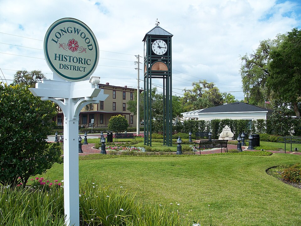
Photograph of Longwood Historic District
Photograph by Ebyabe, CC BY 2.5. Via Wikimedia Commons.

Longwood Historic District

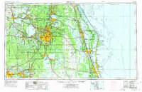
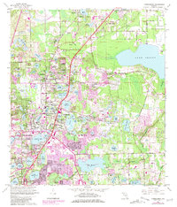
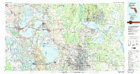
Listed on the National Register of Historic Places in 1990. 7 historic topographic surveys show this location, the earliest from 1955.

From the record

“The Longwood Historic District is a U.S. historic district located in Longwood, Florida. The district is bounded by West Pine Avenue, South Milwee Street, Palmetto Avenue, and CR 427.”

Wikipedia article Longwood Historic District (Longwood, Florida), CC BY-SA 4.0.

One of 19 National Register listings published here for Seminole County · listed in 1990 · category: District.

Sources: the Wikipedia article · the case file at the National Archives · the National Register database, National Park Service · the Wikipedia article
The listing

Then and now

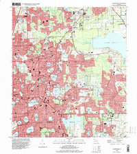
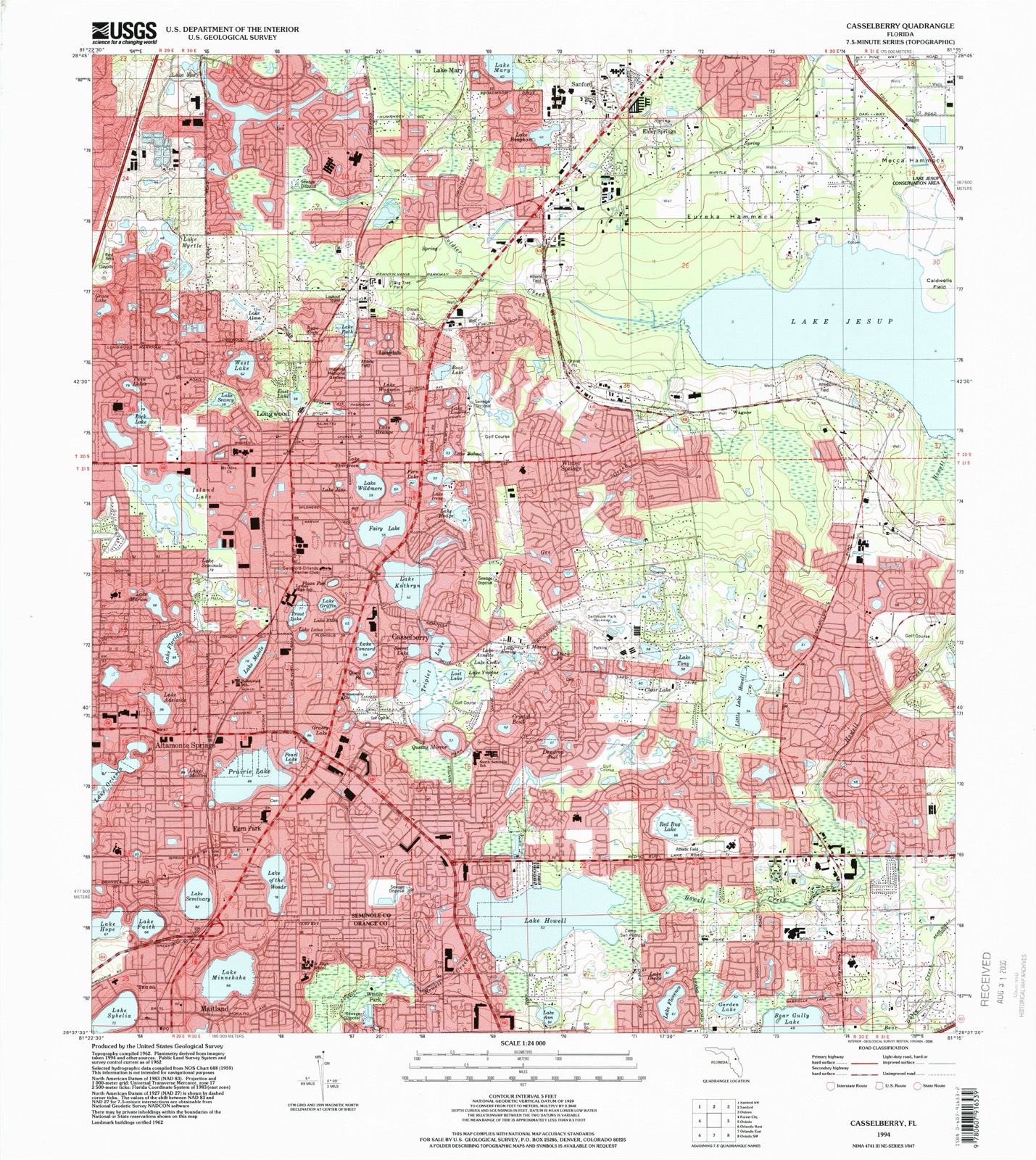
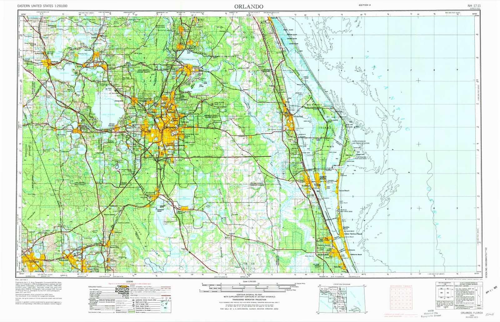
1955 to 1994

The ground this property stands on, surveyed 39 years apart. Drag the handle to wipe between them. Both sheets are United States Geological Survey originals; neither has been altered.

Topographic sheet covering Longwood Historic District, surveyed 1994
Topographic sheet covering Longwood Historic District, surveyed 1955

Fires near this property

56 since 1992

Regional context, not property-specific evidence. The federal wildfire occurrence database lists 56 fires within 5 miles of Longwood Historic District between 1992 and 2019, burning about 180 acres in total. 2 started naturally. None was recorded as arson. Distance is straight-line from the map coordinates, so a fire counted here may appear on a neighbouring settlement's page as well.

Reported cause Fires
Railroad operations and maintenance43
Missing data/not specified/undetermined7
Natural2
Misuse of fire by a minor1
Debris and open burning1
Power generation/transmission/distribution1
Recreation and ceremony1

The most recent of them, most recent first, with the day each was reported and the service that recorded it.

DateCause SizeReported by Name on the report
30 July 1992Railroad operations and maintenance20 acresFlorida Forest Servicenot named
28 July 1992Misuse of fire by a minor5.0 acresFlorida Forest Servicenot named
27 July 1992Missing data/not specified/undeterminedunder an acreFlorida Forest Servicenot named
29 June 1994Natural1.0 acresFlorida Forest Servicenot named
26 June 1998Railroad operations and maintenance5.0 acresFlorida Forest Servicenot named
24 June 1998Missing data/not specified/undeterminedunder an acreFlorida Forest Servicenot named
16 June 1995Railroad operations and maintenanceunder an acreFlorida Forest Servicenot named
1 June 2004Naturalunder an acreFlorida Forest ServiceBAHAMA (O-3)

Every fire recorded in Seminole County

Storms near this property

20 since 1997

Regional context, not property-specific evidence. The National Weather Service names Longwood, the town this property stands in, in 20 storm reports between 1997 and 2023: 11 thunderstorm wind, 7 hail, 1 tornado, 1 lightning. The reports record 12 deaths and 36 injuries. Each account below is quoted exactly as the forecast office filed it, from the NOAA Storm Events Database, and each date opens the federal record of that event.

WhenEvent Place namedHarm What the report says
February 1998Tornado (F3)Longwood12 killed, 36 hurt, $30,000,000The Seminole County category F3 tornado was produced by the same supercell that produced the Winter Garden tornado. It initially set down near Longwood and moved northeast at 45 mph. The tornado passed through several neighborhhoods in the southeast portion of Sanford killing 12 people in mobile homes and injuring 70. It continued northeast and crossed into Volusia County 5 miles east of Sanford. The near 200 mph winds of the tornado damaged or destroy 625 structures.
June 2012LightningLongwood$200,000Lightning sparked a house fire on Rangeline Woods Cove, east of Interstate 4 and north of State Road 434 in Longwood. The house suffered extensive damage and one firefighter was injured while fighting the fire.
July 1998Thunderstorm WindLongwood$65,000Severe thunderstorm winds blew down trees and power lines, overturned 7 tractor trailer trucks and damaged the doors on a large warehouse near Longwood.
April 1997Thunderstorm WindLongwood$40,000Thunderstorm winds blew down trees and damaged the roof of a high school in Longwood.
June 2012Thunderstorm WindLongwood$20,000Two trees were knocked down in Longwood off of Orlando Avenue producing property damage to a car and house. Photos were obtained.
April 2023Thunderstorm WindLongwood$9,500Emergency manager reports a large tree down, causing power line damage in Longwood near the intersection of Markham Woods Rd and EE Williamson Rd. Time estimated via radar.
June 2001Thunderstorm WindLongwood$4,000Thunderstorm winds blew down trees, power lines and power poles in the Longwood area.
April 2023Thunderstorm WindLongwood$1,300Public report of a tree down near the Springwood Village Condo Complex. Some fencing was also damaged. Time estimated via radar.
March 2022HailLongwood-Broadcast meteorologists reported quarter-sized hail at the FOX35 studios.
March 2022HailLongwood-Several reports of quarter sized hail in Longwood received from trained spotters and the public, including near the intersections of Bucksaw Place and Cross Cut Way, and intersection of Marjorie Blvd. and Middle Lane.
June 2015HailLongwood-Ping pong ball sized hail was reported by the public in Wekiva Springs. An additional report of golf ball sized hail was received nearby. Numerous other reports of dime to nickel sized hail were also received in the vicinity.
February 2014Thunderstorm WindLongwood-Significant damage to trees up to one foot in diameter, fences down, and other debris reported near the intersection of East Williamson Road and Markahm Woods Road in Longwood.
April 2013HailLongwood-A ham radio operator reported quarter sized hail at the South Seminole Hospital.
August 2012HailLongwood-A spotter reported nickel-sized hail on Sandalwood Way in Longwood.
August 2009HailLongwood-Local media relayed a public report of penny sized hail at the intersection of State Road 434 and County Road 427.
June 2007Thunderstorm WindLongwood-Trees were blown down in the Longwood area.
August 2004Thunderstorm WindLongwood-Two large trees were blown down and a pool screen destroyed by thunderstorm winds in Longwood.
May 2003Thunderstorm WindLongwood-Thunderstorm winds blew down trees in the Longwood area.
April 2002HailLongwood-no account filed

Every storm recorded in Seminole County

Maps showing this location

7 surveys

United States Geological Survey topographic sheets whose coverage includes this point. Matched by taking the middle of the area the National Park Service maps for this listing, then testing that coordinate against the published boundary of every sheet.

Listed places nearby

5 within 8 miles

Other National Register properties close enough to walk or drive between, ordered by distance from this one. Both positions come from the same geocoding pass that matched these properties to their map sheets.

Photograph PropertyDistance Listed
Longwood Hotelunder 500 feet1984
Bradlee-McIntyre House2.7 miles1991
Seminole County Home4.2 miles1999
Lake Mary Chamber of Commerce Building4.4 miles2004
Nils M. and Beverly Schweizer House4.6 miles2024

Sources for this property

National Archives recordThe nomination case file for reference 90001480 in Record Group 79.
Wikipedia articleCommunity-written account of this property, licensed CC BY-SA.
Seminole CountyAll 19 listed properties in this county.

Provenance

  • Listing record. National Park Service National Register of Historic Places, listed-properties dataset, current to 2026-05-22.
  • Map join. Address geocoded through the United States Census geocoder, then tested against the published boundary of every sheet in the USGS Historical Topographic Map Collection.
  • How this page is made. Listing fields come from federal records; map-sheet coverage is a labelled coordinate-to-boundary calculation, not a source-field claim.
  • Wildfire. Short, Karen C. 2022. Spatial wildfire occurrence data for the United States, 1992-2020 [FPA_FOD_20221014]. 6th Edition. Fort Collins, CO: Forest Service Research Data Archive. https://doi.org/10.2737/RDS-2013-0009.6 Collected with United States Government funding and usable without additional permissions or fees.
  • Storms. NOAA National Centers for Environmental Information, Storm Events Database https://www.ncei.noaa.gov/stormevents/ A work of the United States government, no copyright under 17 U.S.C. 105. Narratives are quoted verbatim from the National Weather Service report and are not edited or summarised.