BlockBefore
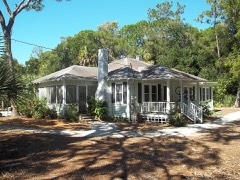
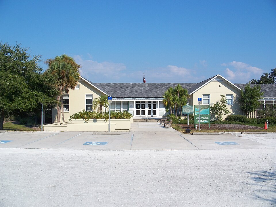
Photograph of Osprey School
Photograph by Ebyabe, CC BY-SA 3.0. Via Wikimedia Commons.

Osprey School

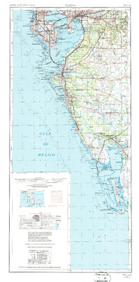
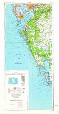
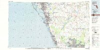
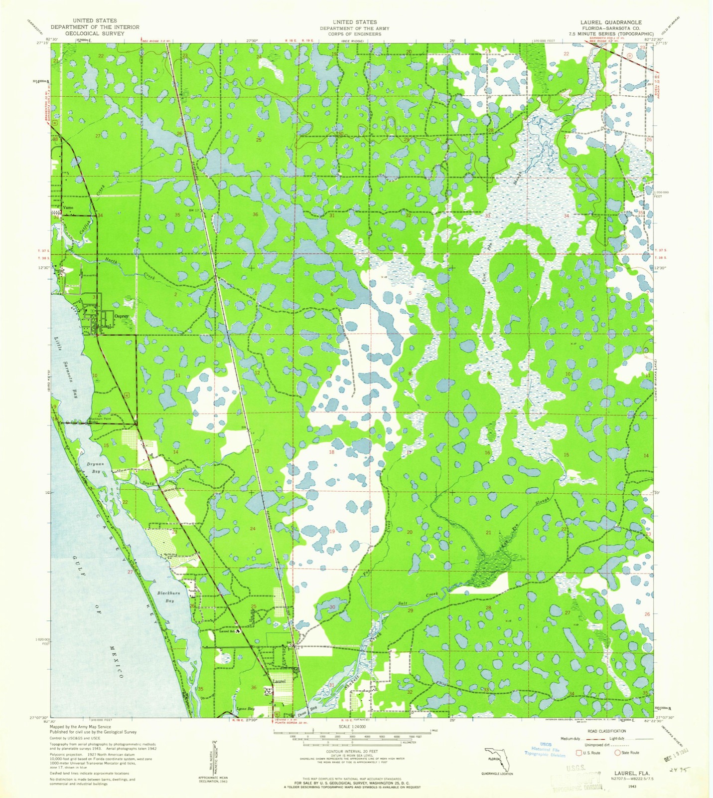
Listed on the National Register of Historic Places in 1994. 9 historic topographic surveys show this location, the earliest from 1943.

From the record

“The Osprey School is a historic school built in 1926 in Osprey, Florida. Described as being in a masonry vernacular architectural style, the school is located at 337 North Tamiami Trail.”

Wikipedia article Osprey School, CC BY-SA 4.0.

One of 103 National Register listings published here for Sarasota County · listed in 1994 · category: Building.

Sources: the Wikipedia article · the case file at the National Archives · the National Register database, National Park Service
The listing

  • What is counted as historic. The nomination lists 1 building as contributing to the listing.
  • Address. 337 N. Tamiami Trail (US 41), Osprey, 34229
  • When was it listed? July 1994
  • Category. building
  • Census division. Osprey-Laurel-Nokomis
  • National Register reference number. 94000707 - the number the National Park Service assigned this property when it was listed, and the key its nomination file is catalogued under at the National Archives.

Then and now

1943 to 1988

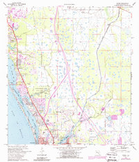
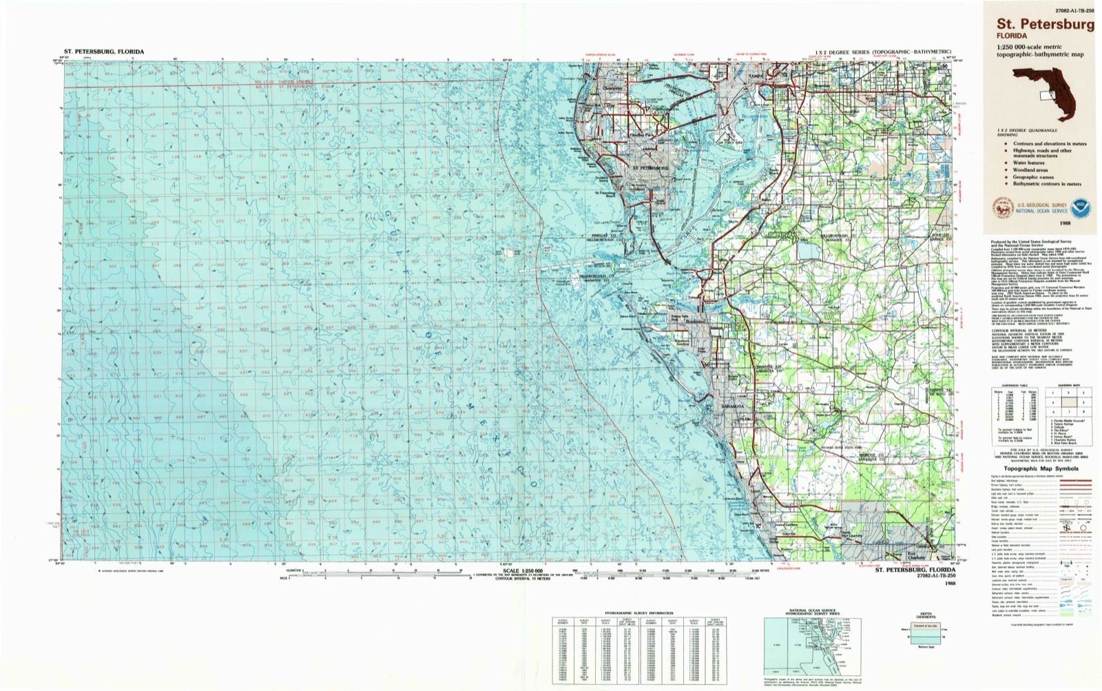
The ground this property stands on, surveyed 45 years apart. Drag the handle to wipe between them. Both sheets are United States Geological Survey originals; neither has been altered.

Topographic sheet covering Osprey School, surveyed 1988
Topographic sheet covering Osprey School, surveyed 1943

Fires near this property

74 since 1992

Regional context, not property-specific evidence. The federal wildfire occurrence database lists 74 fires within 5 miles of Osprey School between 1992 and 2019, burning about 760 acres in total. 28 started naturally. None was recorded as arson. Distance is straight-line from the map coordinates, so a fire counted here may appear on a neighbouring settlement's page as well.

Reported cause Fires
Natural28
Missing data/not specified/undetermined19
Equipment and vehicle use8
Railroad operations and maintenance5
Recreation and ceremony5
Misuse of fire by a minor4
Debris and open burning4
Smoking1

The most recent of them, most recent first, with the day each was reported and the service that recorded it.

DateCause SizeReported by Name on the report
6 September 2001Naturalunder an acreFlorida Forest Servicenot named
3 September 1996Natural10 acresFlorida Forest Servicenot named
22 September 2003Equipment and vehicle useunder an acreFlorida Forest Service2003-15-1104
11 September 1998Natural1.0 acresFlorida Forest Servicenot named
6 August 2002Missing data/not specified/undetermined2.0 acresFlorida Forest Servicenot named
22 August 2005Natural2.0 acresFlorida Forest Service58-IBIS PASTURE FIRE-0414
12 August 2005Natural1.0 acresFlorida Forest Service2005-15-0401
9 July 2002Natural5.0 acresFlorida Forest Servicenot named

Every fire recorded in Sarasota County

Storms near this property

6 since 1994

Regional context, not property-specific evidence. The National Weather Service names Osprey, the town this property stands in, in 6 storm reports between 1994 and 2020: 4 thunderstorm wind, 1 hail, 1 flood. No death or injury is recorded in these reports. Each account below is quoted exactly as the forecast office filed it, from the NOAA Storm Events Database, and each date opens the federal record of that event.

WhenEvent Place namedHarm What the report says
June 1994Thunderstorm WindOsprey$500,000Thunderstorm winds did $100,000 damage mostly to the roof of a restaurant and to covers on adjacent marina.
March 2017Thunderstorm WindOsprey$150,000Power lines were reported down at Tamiami Trail and MacEwen Drive in Osprey. Additionally, a member of the public reported that in a nearby neighborhood, The Oaks, 3 pool cages were destroyed, aluminum poles holding nets protecting tennis courts from a golf course were ripped out of the ground, a large palm tree was uprooted, and several other homes sustained minor unspecified damage. The damage appeared to follow a narrow path, and may have been caused by a gustnado.
July 2012Thunderstorm WindOsprey$50,000Broadcast media reported straight line winds removed a section of roofing from a shopping center on US 41 and Holland Street in Osprey. As a result of the roof damage, rain water got into the building and caused further damage.
March 1998Thunderstorm WindOsprey$25,000Thunderstorm winds downed a large tree, power lines and several large tree limbs along South Creek Drive in Osprey. A few pool cages, metal facia and roof shingles were also damaged by the thunderstorm winds in Osprey.
June 2020FloodOsprey-River overflowing with yard flooding.
March 1998HailOsprey-Nickel sized hail was reported on U.S. Highway 41 six miles north of Osprey.

Every storm recorded in Sarasota County

Maps showing this location

9 surveys

United States Geological Survey topographic sheets whose coverage includes this point. Matched by taking the coordinate the National Park Service records for this property, then testing that coordinate against the published boundary of every sheet.

Listed places nearby

6 within 8 miles

Other National Register properties close enough to walk or drive between, ordered by distance from this one. Both positions come from the same geocoding pass that matched these properties to their map sheets.

Photograph PropertyDistance Listed
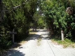
Waters and Elsa Burrows Historic District0.3 miles2012
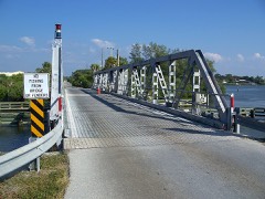
Blackburn Point Bridge1.5 miles2001
Lucienne Nielsen House1.9 miles2007
Sanderling Beach Club3.7 miles1994
Nokomis Beach Pavilion5.4 miles2013
Edson Keith Estate5.4 miles1991

Sources for this property

National Archives recordThe nomination case file for reference 94000707 in Record Group 79.
Wikipedia articleCommunity-written account of this property, licensed CC BY-SA.
Sarasota CountyAll 103 listed properties in this county.

Provenance

  • Listing record. National Park Service National Register of Historic Places, listed-properties dataset, current to 2026-05-22.
  • Map join. Address geocoded through the United States Census geocoder, then tested against the published boundary of every sheet in the USGS Historical Topographic Map Collection.
  • How this page is made. Listing fields come from federal records; map-sheet coverage is a labelled coordinate-to-boundary calculation, not a source-field claim.
  • Wildfire. Short, Karen C. 2022. Spatial wildfire occurrence data for the United States, 1992-2020 [FPA_FOD_20221014]. 6th Edition. Fort Collins, CO: Forest Service Research Data Archive. https://doi.org/10.2737/RDS-2013-0009.6 Collected with United States Government funding and usable without additional permissions or fees.
  • Storms. NOAA National Centers for Environmental Information, Storm Events Database https://www.ncei.noaa.gov/stormevents/ A work of the United States government, no copyright under 17 U.S.C. 105. Narratives are quoted verbatim from the National Weather Service report and are not edited or summarised.