BlockBefore
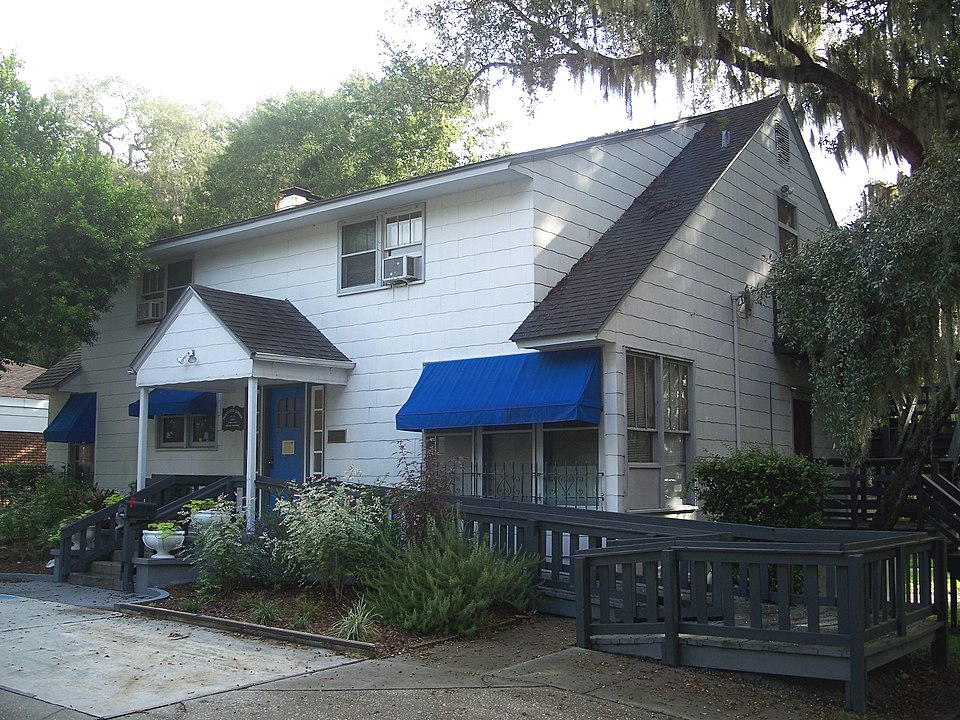
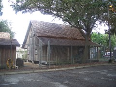
Photograph of Charles B. Anderson House
Photograph by Ebyabe, CC BY 2.5. Via Wikimedia Commons.

Charles B. Anderson House

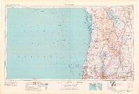
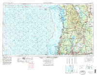
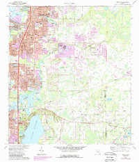
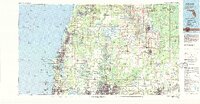
Listed on the National Register of Historic Places in 1996. 11 historic topographic surveys show this location, the earliest from 1943.

From the record

“Anderson House was an historic house in Elfers, Florida, United States owned by Pasco County. On April 26, 1996, it was added to the U.S.”

Wikipedia article Charles B. Anderson House, CC BY-SA 4.0.

One of 10 National Register listings published here for Pasco County · listed in 1996 · category: Building.

Sources: the Wikipedia article · the case file at the National Archives · the National Register database, National Park Service

The listing

  • What is counted as historic. The nomination lists 1 building, 1 structure as contributing to the listing.
  • Listed as. Anderson, Charles B., House - the National Register files a house under its owner's surname.
  • Address. 5744 Moog Rd., Holiday, 34690
  • When was it listed? April 1996
  • Category. building
  • Census division. New Port Richey
  • National Register reference number. 96000467 - the number the National Park Service assigned this property when it was listed, and the key its nomination file is catalogued under at the National Archives.

Then and now

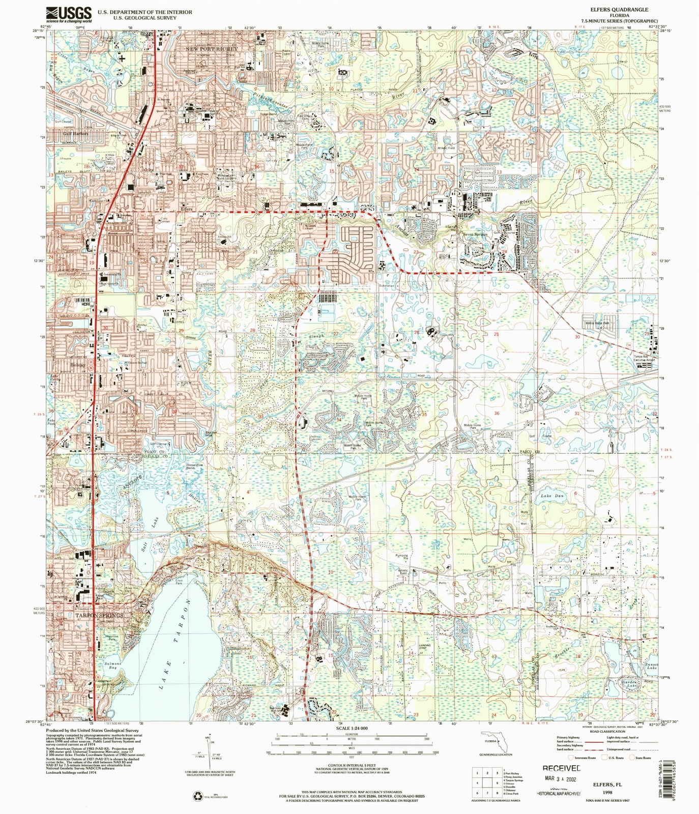
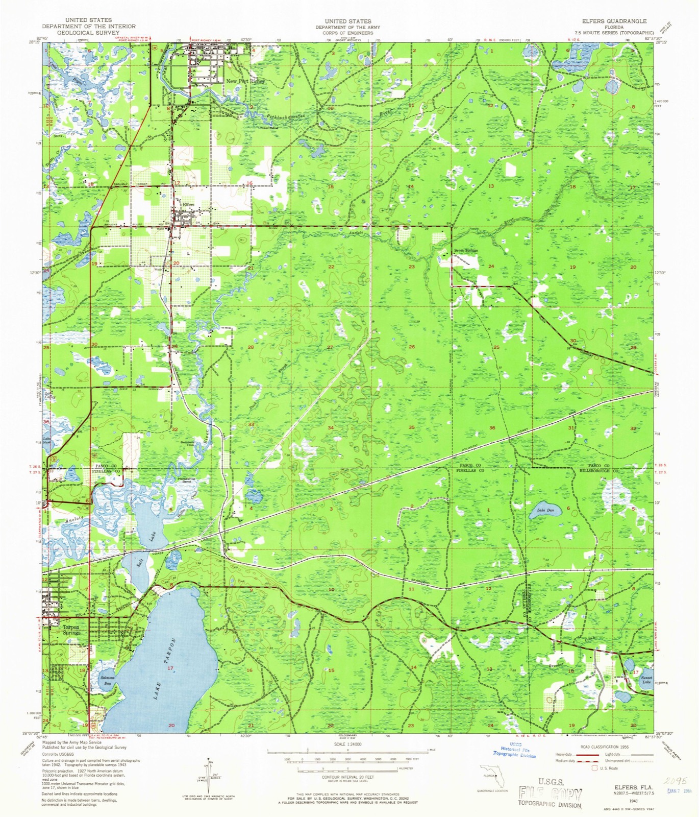
1943 to 1998

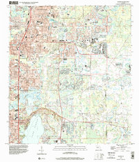
The ground this property stands on, surveyed 55 years apart. Drag the handle to wipe between them. Both sheets are United States Geological Survey originals; neither has been altered.

Topographic sheet covering Charles B. Anderson House, surveyed 1998
Topographic sheet covering Charles B. Anderson House, surveyed 1943

Fires near this property

150 since 1992

Regional context, not property-specific evidence. The federal wildfire occurrence database lists 150 fires within 5 miles of Charles B. Anderson House between 1992 and 2020, burning about 975 acres in total. 23 started naturally. 45 were recorded as arson. Distance is straight-line from the map coordinates, so a fire counted here may appear on a neighbouring settlement's page as well.

Reported cause Fires
Arson/incendiarism45
Misuse of fire by a minor29
Natural23
Equipment and vehicle use21
Missing data/not specified/undetermined15
Recreation and ceremony8
Railroad operations and maintenance6
Debris and open burning1
Power generation/transmission/distribution1
Smoking1

The most recent of them, most recent first, with the day each was reported and the service that recorded it.

DateCause SizeReported by Name on the report
27 September 2000Natural3.5 acresFlorida Forest Servicenot named
23 September 2010Recreation and ceremony1.0 acresFlorida Forest Service51/ANCLOTE FIRE-0987
17 September 2013Arson/incendiarism2.5 acresFlorida Forest ServiceMILLER BAYOU (51)
17 September 1997Misuse of fire by a minor3.0 acresFlorida Forest Servicenot named
11 September 1997Misuse of fire by a minor4.0 acresFlorida Forest Servicenot named
1 September 1999Natural20 acresFlorida Forest Servicenot named
23 August 1997Natural28 acresFlorida Forest Servicenot named
10 August 2020Natural102 acresFlorida Forest ServiceKEYSTONE BIKE TRAIL (52)**

Every fire recorded in Pasco County

Mines and quarries near this property

1 within 5 miles

Regional context, not property-specific evidence. The federal mineral resources record lists 1 working within 5 miles of Charles B. Anderson House: 1 producer. All of them still produce. What was taken out: Sand. Distance is straight-line from the map coordinates, so a quarry counted here may appear on a neighbouring settlement's page as well.

Where SiteCommodity StatusRecorded
Jay Two Three, Inc. - Day 23 Mi NeSandProducer

Every working recorded in Pasco County

Storms near this property

27 since 1997

Regional context, not property-specific evidence. The National Weather Service names Holiday, the town this property stands in, in 27 storm reports between 1997 and 2025: 9 thunderstorm wind, 5 flood, 4 heavy rain, 4 hail. No death or injury is recorded in these reports. Each account below is quoted exactly as the forecast office filed it, from the NOAA Storm Events Database, and each date opens the federal record of that event.

WhenEvent Place namedHarm What the report says
April 2009Tornado (EF1)Holiday$240,000There were 50 homes with light damage, and seven homes with moderate or greater damage. Several tree trunks were snapped, some half-way up the trunk, and several trees were uprooted. One business had minor roof damage with awnings and a fence destroyed. The damage path was narrow and not continuous. Winds were estimated at 95mph.
September 2001Flash FloodHoliday$150,000no account filed
July 2014LightningHoliday$100,000Broadcast media reported and Pasco County Fire and Rescue responded to a house fire caused by a direct lightning strike. The home was totally engulfed in flames and also caused damage to neighbors homes. No injuries were reported, but two dogs were killed in the fire.
August 2000FloodHoliday$100,000Heavy rainfall of six to eight inches in less than three hours caused localized urban flooding from Palm Harbor in Pinellas county north along the U.S. Highway corridor to New Port Richey in Pasco county. Several vehicles incurred water damage from the urban floodwaters at low-lying intersections along the U.S. Highway 19 corridor in both Pinellas and Pasco counties.
November 1997FloodHoliday$100,000Urban flooding caused rug damage to a few homes and vehicles in low lying areas west of U.S. Highway 19 from Holiday north to New Port Richey.
February 1998FloodHoliday$40,000no account filed
August 2013Thunderstorm WindHoliday$30,000The Florida State Watch Office relayed a report of 13 damaged mobile homes in the Holiday area. They also reported numerous downed trees and powerlines in the vicinity.
April 2019Thunderstorm WindHoliday$25,000Multiple trees were reported down near Holiday.
April 1997Thunderstorm WindHoliday$25,000Thunderstorm winds downed several trees and power lines east of Holiday near State Road 54.
August 2000FloodHoliday$25,000no account filed
August 2025LightningHoliday$10,000Social media post relayed a drone video of a lightning-caused fire at an apartment complex in Holiday. No injuries were reported.
April 2024Thunderstorm WindHoliday$10,000HAM radio operator reported trees downed on powerlines and across road near Colonial Hills near Moog Road and US Highway 19.
August 2021Thunderstorm WindHoliday$5,000Online newspaper posted photo of damage to a carport attached to a mobile home near the intersection of Buena Vista Lane and Kemper Drive in Holiday.
January 2017Thunderstorm WindHoliday$5,000An amateur radio operator reported that multiple trees were down near US19 and Flora Avenue.
June 2014Thunderstorm WindHoliday$1,000Local broadcast media relayed a report of a downed tree on Conoley Lane in Holiday.
July 2022HailHoliday-Trained Spotter reported hail up to a penny size in Holiday.
July 2012Heavy RainHoliday-Heavy rain caused street flooding in Holiday around the intersection of US Highway 19 and US Alternate Highway 19.
June 2007Heavy RainHoliday-Rainfall of 4.16 inches was recorded. Widespread rainfall of 2 to 4 inches was observed across the county.
May 2005HailHoliday-Hail covered the parking lot at the intersection of Little Road and State Road 54. Numerous reports of hail covering the ground.
July 2001HailHoliday-The media reported nickel sized hail near the intersection of U.S. Highway 19 and State Road 54 near Holiday, Florida.
August 2000Heavy RainHoliday-A Skywarn Spotter reported 6.26 inches of rainfall fell in Holiday in less than six hours.
June 1997Thunderstorm WindHoliday-Thunderstorm wind gust of 60 mph was reported by a Skywarn Spotter.
June 1997Heavy RainHoliday-Heavy rain of three to five inches in two hours occurred along the U.S. Highway 19 corridor in Holiday.
April 1997Thunderstorm WindHoliday-A Skywarn Spotter reported a wind gust to 60 mph.
September 1997WaterspoutHoliday-A waterspout developed and lasted for nineteen minutes before it dissipated, one mile west southwest of Anclote Key.
June 2000FloodHoliday-no account filed
April 1997HailHoliday-no account filed

Every storm recorded in Pasco County

Maps showing this location

11 surveys

United States Geological Survey topographic sheets whose coverage includes this point. Matched by taking the coordinate the National Park Service records for this property, then testing that coordinate against the published boundary of every sheet.

Listed places nearby

2 within 8 miles

Other National Register properties close enough to walk or drive between, ordered by distance from this one. Both positions come from the same geocoding pass that matched these properties to their map sheets.

Photograph PropertyDistance Listed
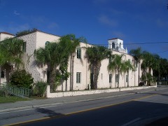
Samuel Baker Houseunder 500 feet1997
Hacienda Hotel2.9 miles1996

Sources for this property

National Archives recordThe nomination case file for reference 96000467 in Record Group 79.
Wikipedia articleCommunity-written account of this property, licensed CC BY-SA.
Pasco CountyAll 10 listed properties in this county.

Provenance

  • Listing record. National Park Service National Register of Historic Places, listed-properties dataset, current to 2026-05-22.
  • Map join. Address geocoded through the United States Census geocoder, then tested against the published boundary of every sheet in the USGS Historical Topographic Map Collection.
  • How this page is made. Listing fields come from federal records; map-sheet coverage is a labelled coordinate-to-boundary calculation, not a source-field claim.
  • Wildfire. Short, Karen C. 2022. Spatial wildfire occurrence data for the United States, 1992-2020 [FPA_FOD_20221014]. 6th Edition. Fort Collins, CO: Forest Service Research Data Archive. https://doi.org/10.2737/RDS-2013-0009.6 Collected with United States Government funding and usable without additional permissions or fees.
  • Mines and quarries. USGS Mineral Resources Data System (MRDS) https://mrdata.usgs.gov/mrds/ A work of the United States government, no copyright under 17 U.S.C. 105.
  • Storms. NOAA National Centers for Environmental Information, Storm Events Database https://www.ncei.noaa.gov/stormevents/ A work of the United States government, no copyright under 17 U.S.C. 105. Narratives are quoted verbatim from the National Weather Service report and are not edited or summarised.