 Block
BlockFrom the record
10 National Register listings published here.
Sources: the National Register database, National Park Service
98 topographic sheets cover 63 settlements here, and 10 properties are on the National Register of Historic Places.
10 National Register listings published here.
Sources: the National Register database, National Park Service
Every property in this county listed on the National Register of Historic Places, with the year it was listed and the federal nomination document.
| Photograph | Property | Type | Listed | Reference |
|---|---|---|---|---|
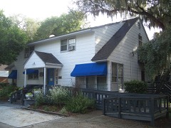 | Charles B. Anderson House | building | 1996 | 96000467 |
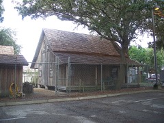 | Samuel Baker House | building | 1997 | 97000052 |
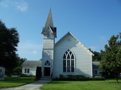 | Church Street Historic District | district | 1997 | 97000910 |
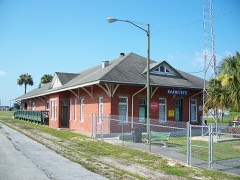 | Dade City Atlantic Coast Line Railroad Depot | building | 1994 | 94000706 |
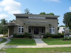 | Dade City Woman's Club | building | 2003 | 03001014 |
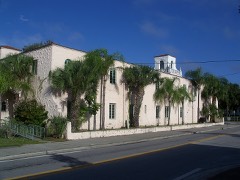 | Hacienda Hotel | building | 1996 | 96001185 |
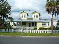 | Capt. Harold B. Jeffries House | building | 1995 | 95001370 |
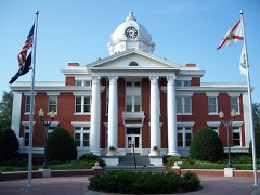 | Pasco County Courthouse | building | 2006 | 06000843 |
 | St Leo Abbey Historic District | district | 1998 | 97001637 |
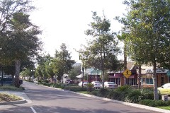 | Zephyrhills Downtown Historic District | district | 2001 | 01001058 |
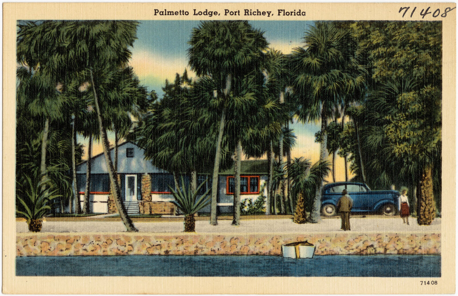
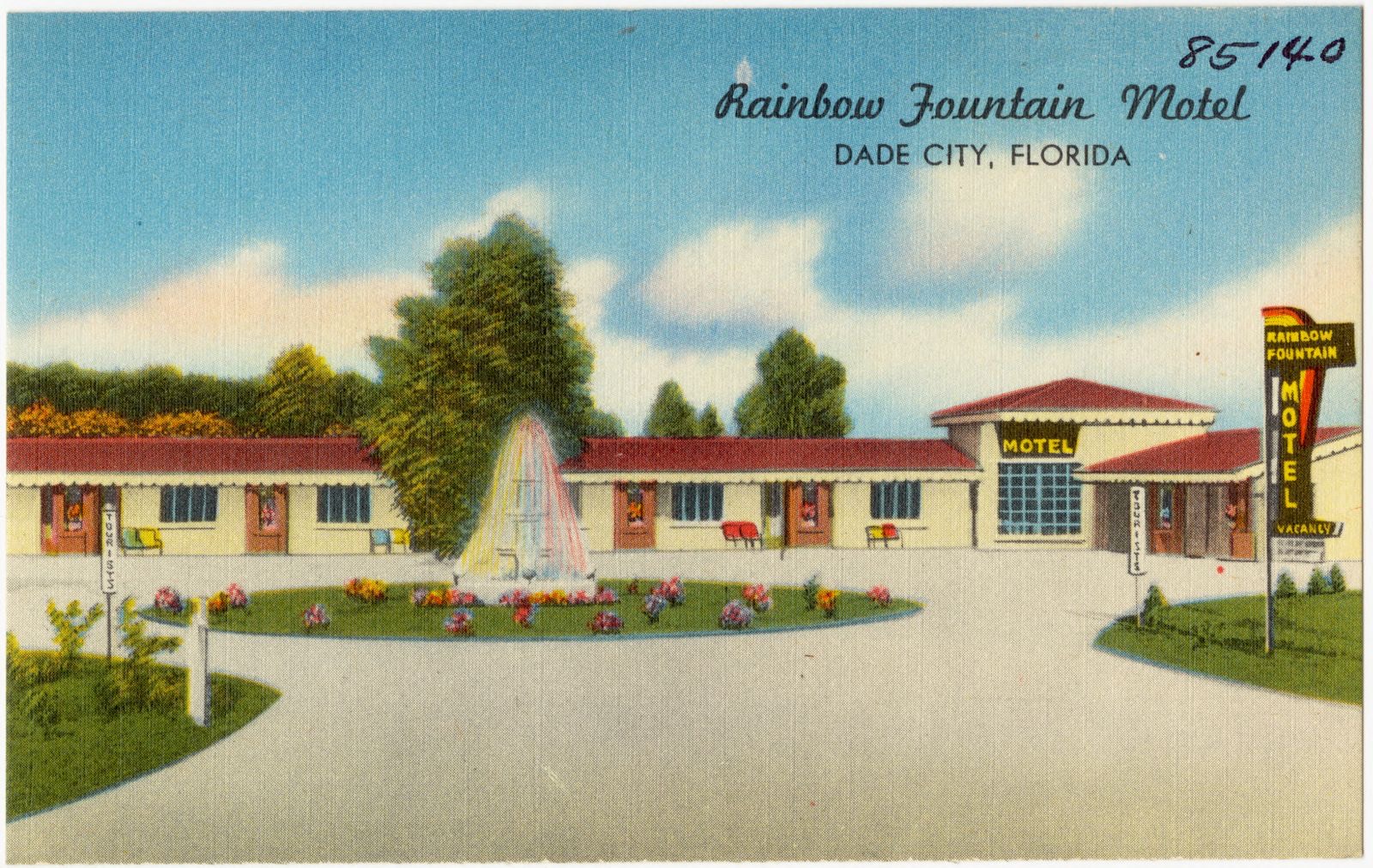
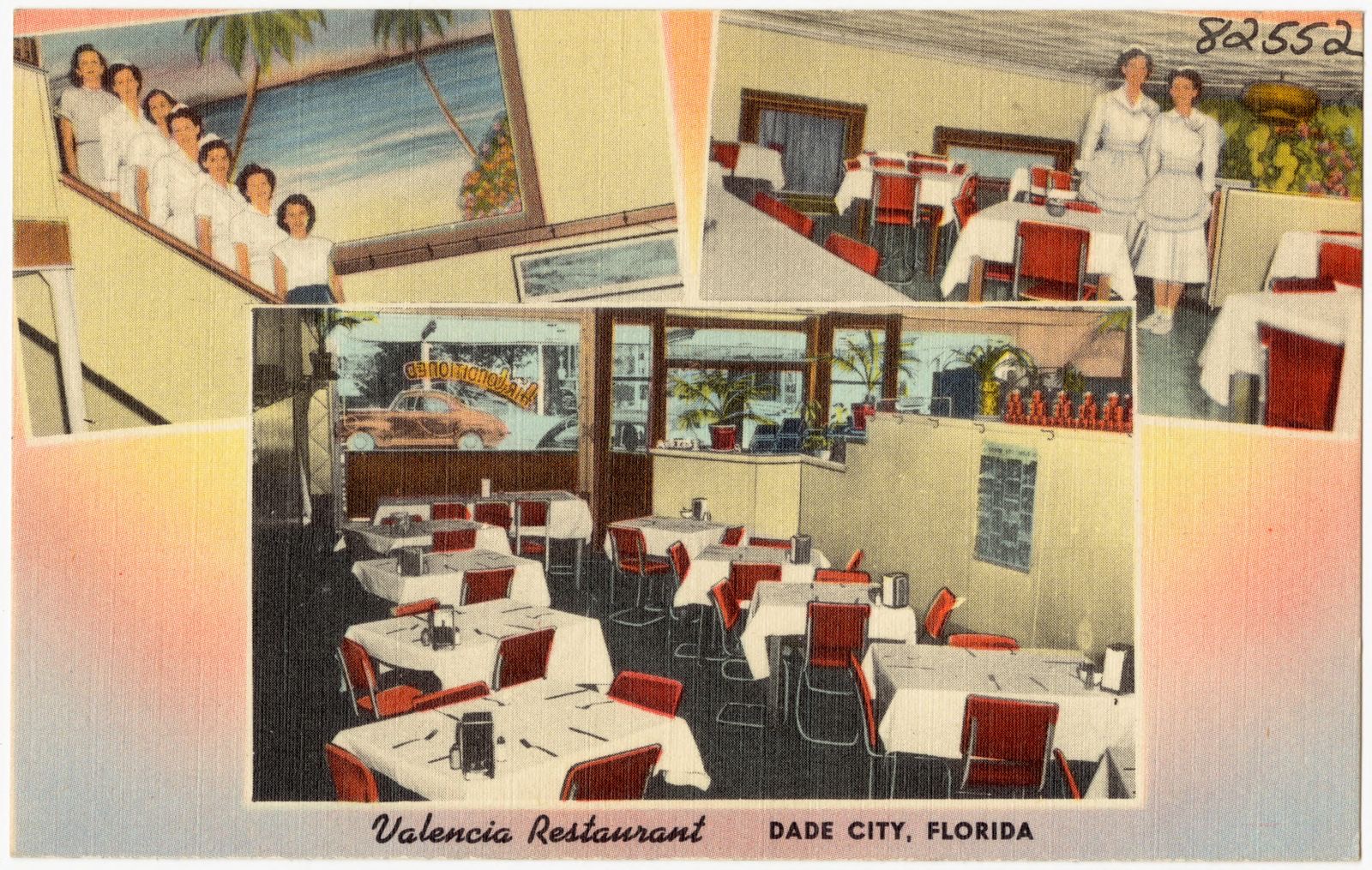
Selected from the Digital Public Library of America's 4 image records catalogued for this county. Every one shown here carries a public-domain status or a licence that permits reuse on a site that carries advertising; non-commercial, share-alike and restricted images are excluded. The selection is spread across the county's towns (at most eight per town), so no single institution's bulk upload crowds out the rest. Each opens the holding library's record, and the complete set at the Digital Public Library of America is one click away.
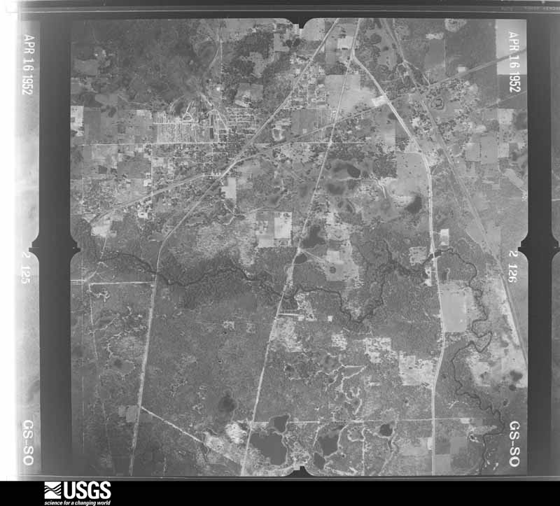
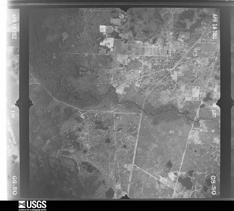
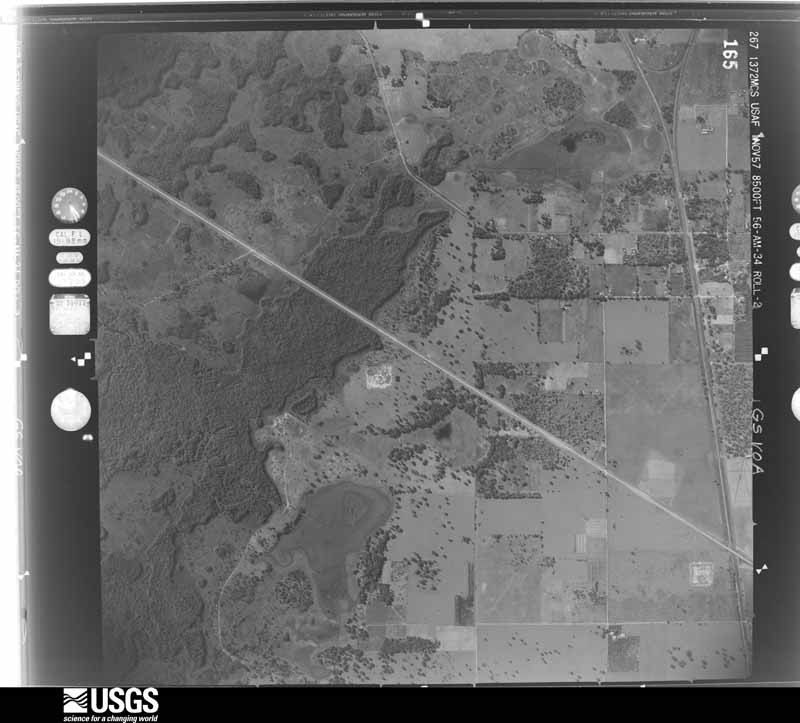
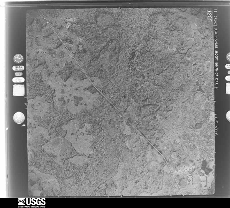
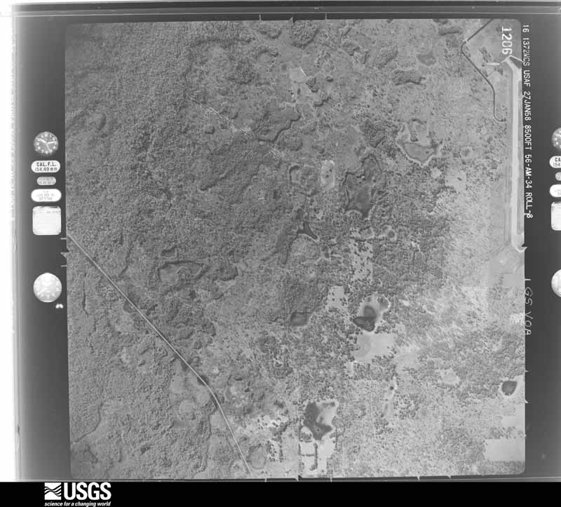
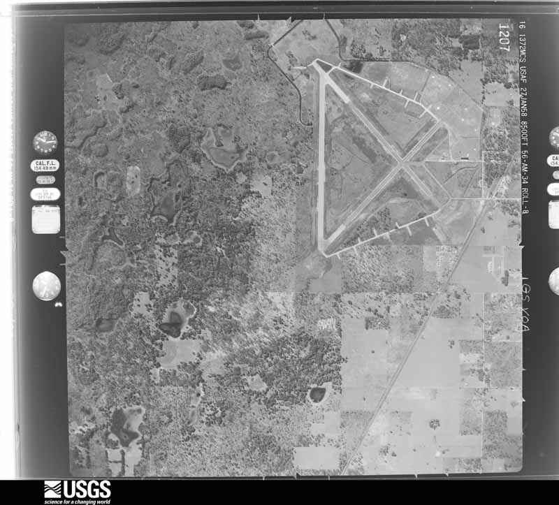
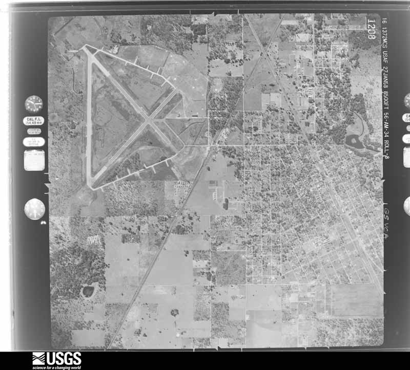
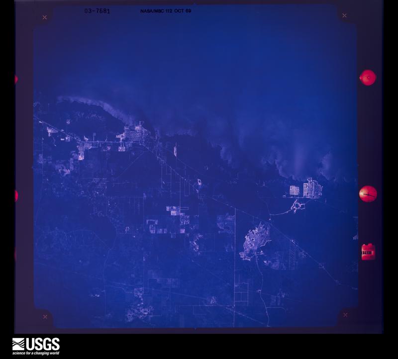
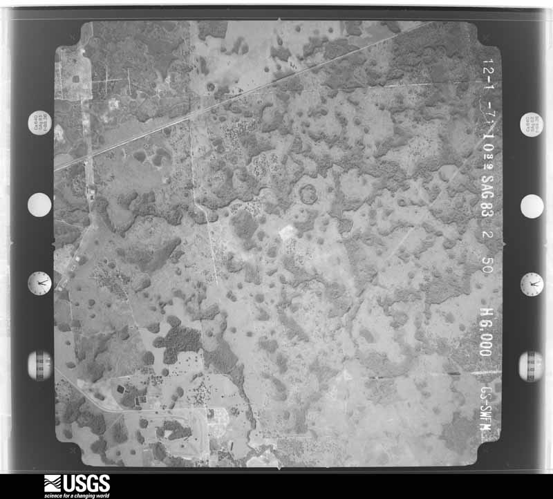
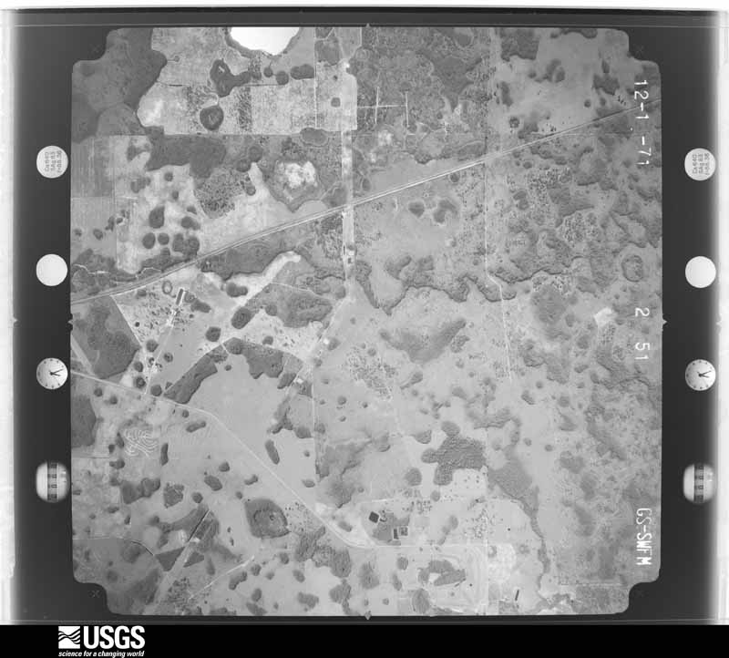
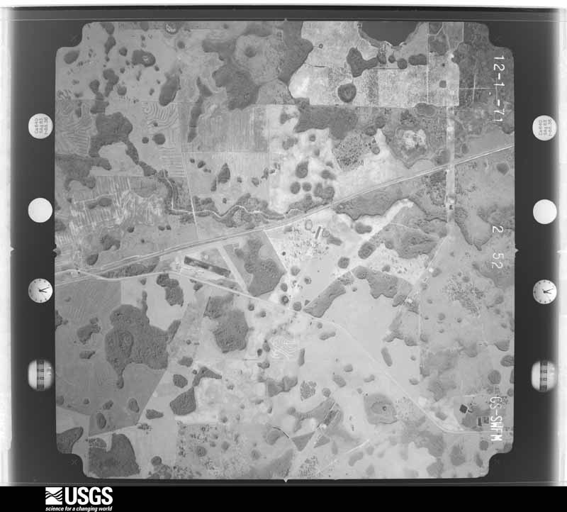
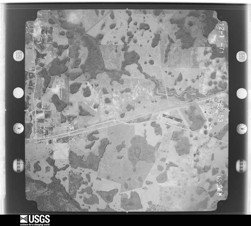
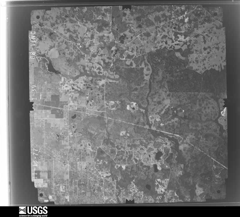
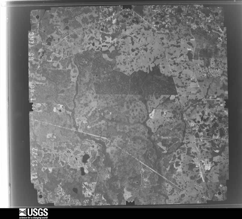
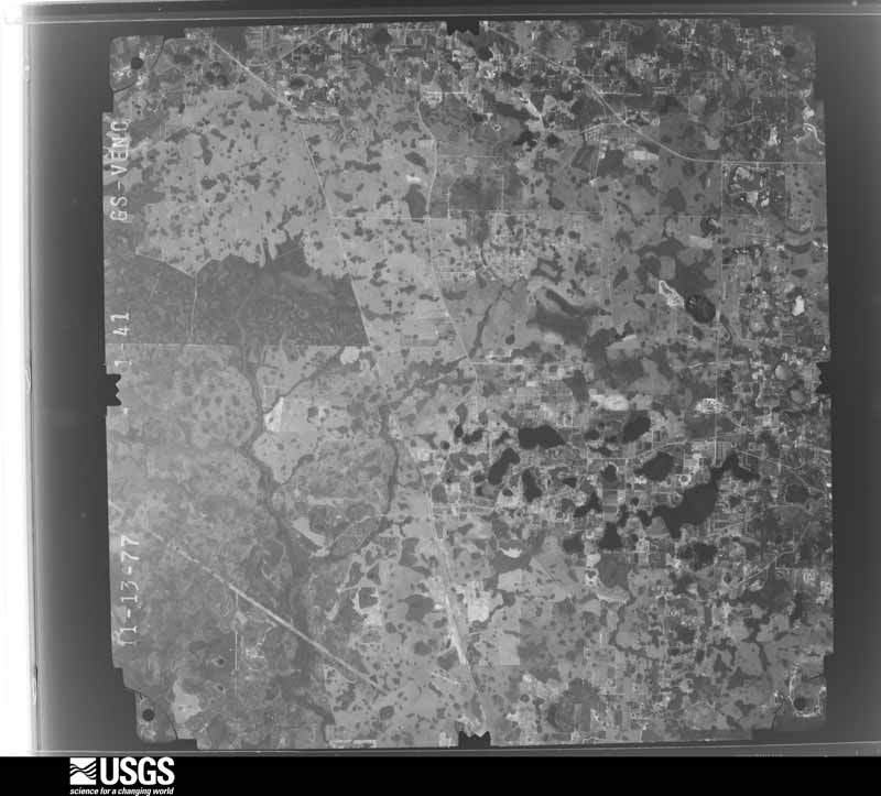
Flown by the U.S. Geological Survey between 1937 and 1989, the Aerial Photo Single Frames collection is the definitive mid-century view of the land: fields, roads and rivers as the camera saw them. The Survey holds 1,282 frames inside the rectangle that bounds this county; the 36 frames below were taken over the county itself, chosen across the decades of flights (at most four a year from that rectangle), so one flight cannot crowd out the rest. The full set is free to browse and download at EarthExplorer under the dataset Aerial Photo Single Frames.
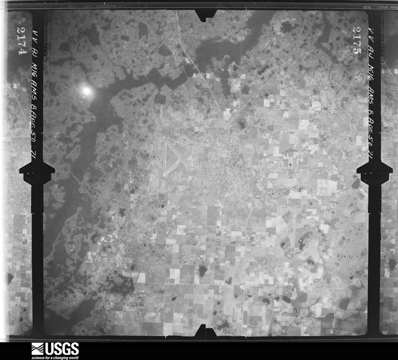
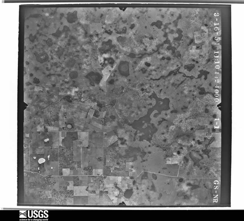
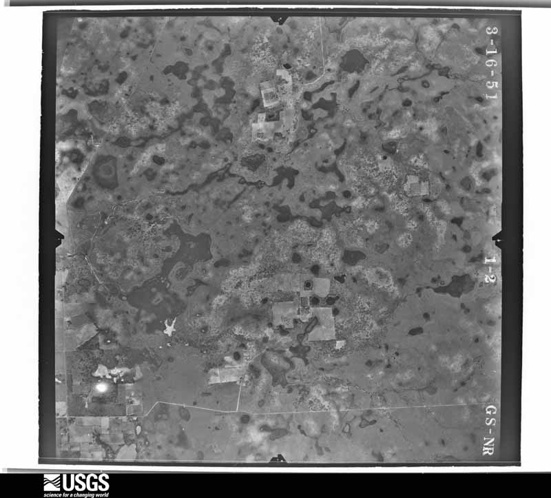
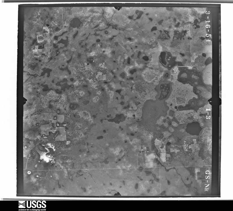
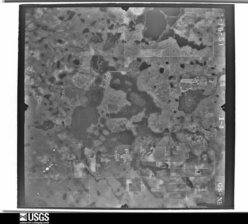
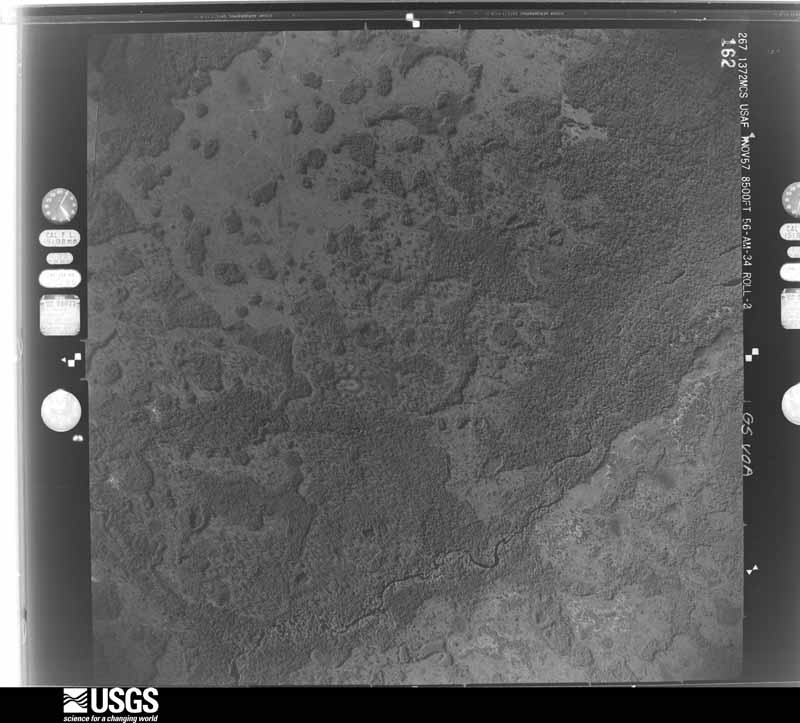
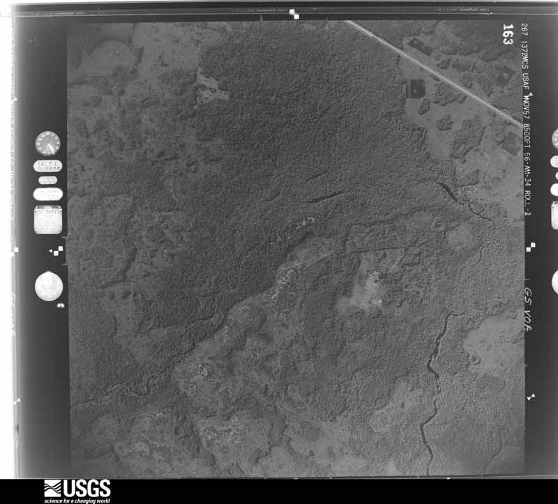
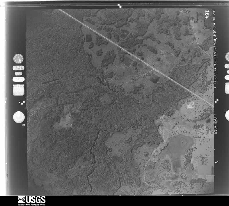
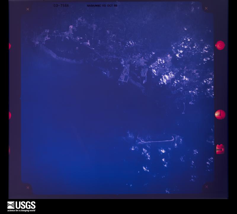
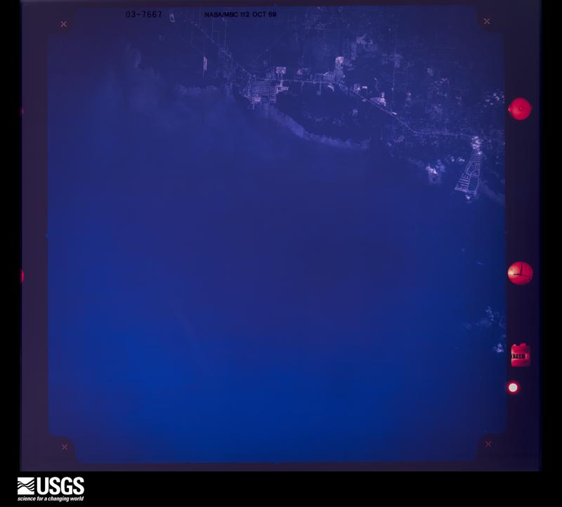
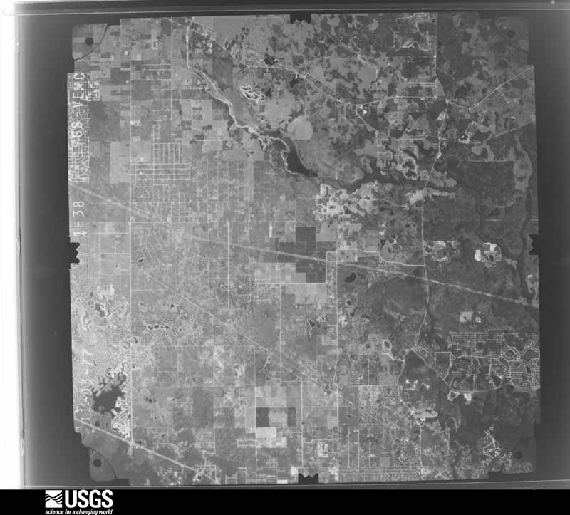
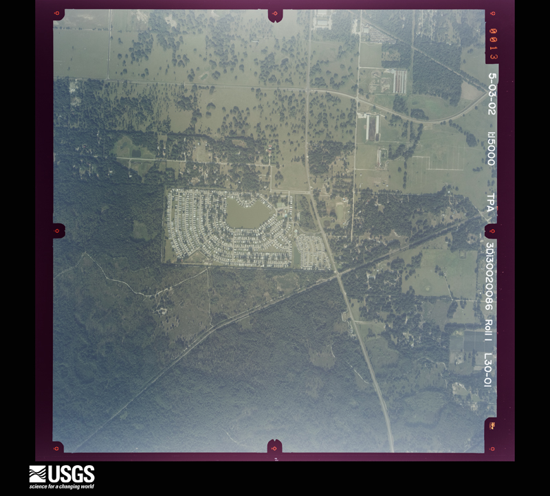
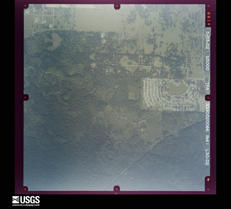
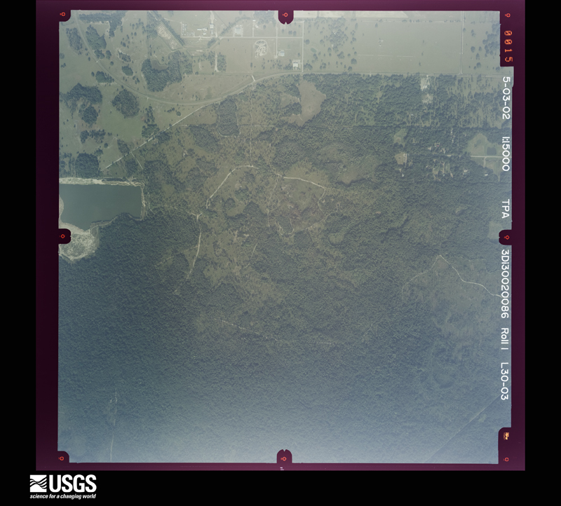
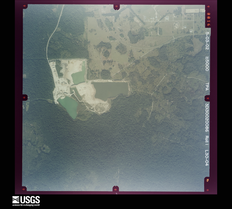
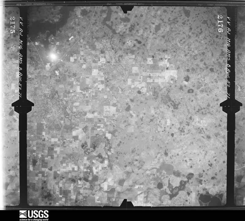
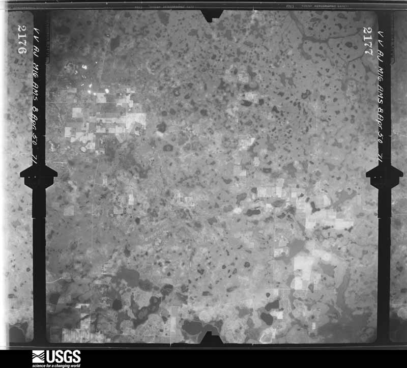
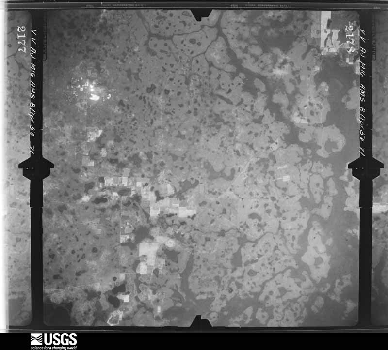
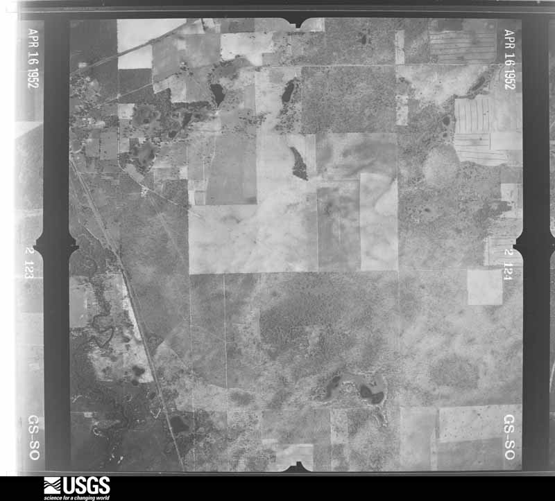
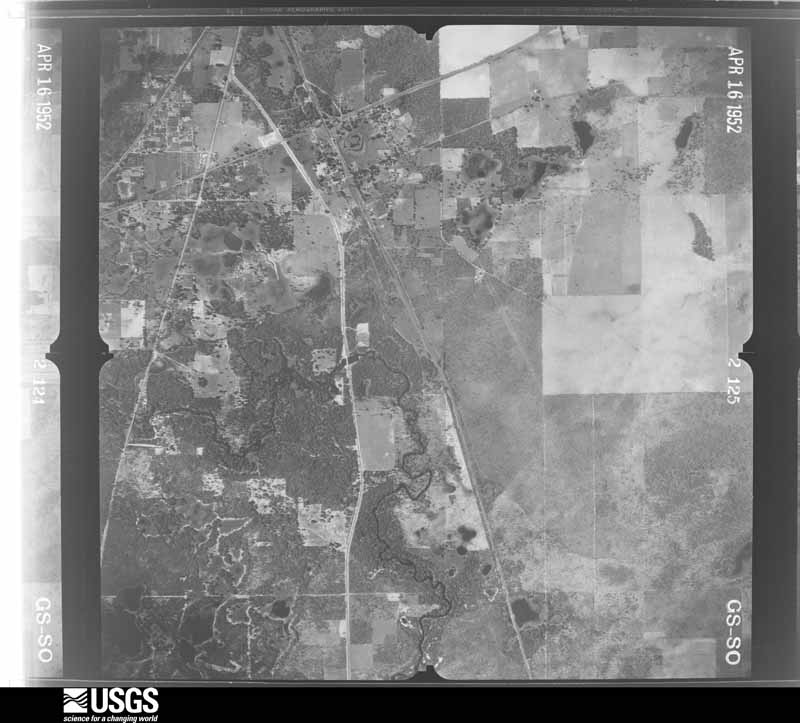
The thermometers that kept this county's weather, and the gages that measured the flow of its streams, as the federal records hold them. The extremes below are measured values from those records, not estimates.
Who lived here in 1950, one enumeration district at a time, as the Census Bureau described each district. Each row opens its official National Archives result, with Population Schedules and ED Maps available there.
Every wildfire the federal occurrence database records inside this county: 1,493 of them, burning about 31,802 acres. 327 started naturally and 261 were recorded as arson. Each settlement page carries the fires within five miles of it.
| Reported cause | Fires |
|---|---|
| Natural | 327 |
| Arson/incendiarism | 261 |
| Equipment and vehicle use | 253 |
| Railroad operations and maintenance | 206 |
| Debris and open burning | 133 |
| Missing data/not specified/undetermined | 123 |
| Misuse of fire by a minor | 118 |
| Recreation and ceremony | 43 |
| Power generation/transmission/distribution | 12 |
| Fireworks | 9 |
| Smoking | 8 |
The five largest, by the area the report gives. One of them was set deliberately.
| Date | Cause | Size | Reported by | Name on the report |
|---|---|---|---|---|
| 6 May 2017 | Arson/incendiarism | 2,275 acres | Florida Forest Service | ANCLOTE BRANCH (51) |
| 23 June 1998 | Natural | 1,287 acres | Florida Forest Service | not named |
| 22 June 1998 | Natural | 1,000 acres | Florida Forest Service | not named |
| 24 March 2004 | Debris and open burning | 750 acres | Florida Forest Service | COMPRESSCO FIRE/0274 |
| 30 March 2006 | Debris and open burning | 639 acres | Florida Forest Service | 51/BIG FISH FIRE/0350 |
| 3 June 2004 | Natural | 600 acres | Florida Forest Service | STARKEY FIVE-0544 |
| 7 May 2007 | Natural | 559 acres | Florida Forest Service | 51/KERRY TULLY FIRE/0557 |
| 3 June 2000 | Natural | 550 acres | Florida Forest Service | not named |
Every settlement page carries the fires within five miles of it - see the settlement index below.
The NOAA Storm Events Database holds 571 reports for this county, causing 4 deaths, 70 injuries and about $132,468,500 in recorded property damage. Each settlement page carries the reports that name it.
| Kind of event | Reports |
|---|---|
| Thunderstorm Wind | 244 |
| Hail | 107 |
| Tornado | 96 |
| Flood | 49 |
| Lightning | 30 |
| Heavy Rain | 24 |
| Waterspout | 6 |
| Flash Flood | 6 |
| Funnel Cloud | 4 |
| Storm Surge/Tide | 2 |
| Coastal Flood | 1 |
| Frost/Freeze | 1 |
| Dust Devil | 1 |
The most serious of them, by death, then injury, then recorded damage. The accounts are quoted exactly as the forecast office filed them.
| When | Event | Place named | Harm | What the report says |
|---|---|---|---|---|
| July 2001 | Lightning | San Antonio | 1 killed, 3 hurt | A 42 year old male road crew worker was struck and killed by lightning and three others injured slightly near Darby Road, two miles east of Bellamy Brothers Boulevard, in east central Pasco county. Lightning struck an aluminum rod held by the man as he walked down the middle of an unpaved road just prior to the beginning of rainfall. The three other road crew workers were knocked off their feet and briefly stunned by the lightning strike. |
| June 2012 | Flood | New Port Richey | 1 killed, $2,000,000 | The Anclote River at Elfers began to flood on the 24th due primarily to heavy rains from Tropical Storm Debby. The river crested early on the morning of the 26th at 26.74 feet, or 6.74 feet above flood stage, and then fell below flood stage on the 29th. As many as 15,000 people were evacuated from 7,000 homes due to the rising flood waters. Homes at Anclote River Estates were standing in several feet of water.||On the 27th, the body of a 46 year old man was found floating in the Anclote River. The Medical Examiner determined that the man died of accidental drowning, with a cardiovascular factor, but no other details are known. |
| August 2006 | Lightning | Wesley Chapel | 1 killed | A 16-year-old roofer weas struck and killed by lightning as he was reaching down for the nail gun. |
| June 1998 | Lightning | New Port Richey | 1 killed | Lightning struck and killed a 25 year-old male standing in a field along the 18000 block of Lester Dairy Road near the intersection of U.S. Highway 41 and State Road 54. |
| April 1959 | Tornado (F2) | not stated | 12 hurt, $250,000 | no account filed |
| March 1993 | Tornado (F0) | New Port Richey | 11 hurt | A small tornado damaged several homes. Eleven people suffered minor injuries. |
| March 1979 | Tornado (F1) | not stated | 6 hurt, $250,000 | no account filed |
| November 1968 | Tornado (F2) | not stated | 4 hurt, $2,500,000 | no account filed |
| June 1972 | Tornado (F1) | not stated | 4 hurt, $25,000 | no account filed |
| August 2006 | Lightning | Wesley Chapel | 4 hurt | A nearby lightning strike injured four plumbers as they were preparing to seek shelter from an approaching storm. One of the men were knocked unconscious and another could not feel his legs for about an hour. The men were taken to the hospital and released. |
| January 1991 | Thunderstorm Wind | not stated | 4 hurt | no account filed |
| August 1997 | Lightning | New Port Richey | 3 hurt, $500 | Lightning struck and split a tree at the Crews Lake Park in Shady Hill. Three people that sought shelter under the tree, an adult female and two children, were slightly injured by the sideflash of the lightning bolt. |
| December 2006 | Tornado (F2) | Pasco | 2 hurt, $3,500,000 | The tornado hit the Tampa Bay Golf and Country Club which is located a few miles west of San Antonio or about 9.5 miles west southwest of Dade City. Radar showed the tornado occurred on the north side of a small bow echo that was moving to the northeast and caused additional damage north of State Road 52. The tornado caused $3.5 million in damage, two injuries, 101 damaged homes, 21 of which were considered heavily damaged, and 6 destroyed. Most of the damage was rated F0 or F1 on the Fuita tornado scale. However, damage rated as F2 occurred on the 2900 block of Caddyshack Lane. The damage looked like high end F1 damage, but the 1999 home had hurricane straps, a reinforced garage door, and other protective measures making it stronger than the average home. |
| December 1978 | Tornado (F1) | not stated | 2 hurt, $25,000 | no account filed |
| June 1988 | Tornado (F0) | not stated | 2 hurt, $2,500 | no account filed |
| May 1989 | Thunderstorm Wind | not stated | 2 hurt | no account filed |
| April 2007 | Thunderstorm Wind | Dade City | 1 hurt, $25,000 | Damaging down burst winds downed a tree onto a vehicle with one person trapped inside 2 miles northwest of Dade City. Trees and wires were downed in Dade City at the intersection of Rose Avenue and 14th Street. |
| May 1979 | Tornado (F0) | not stated | 1 hurt, $25,000 | no account filed |
| January 1973 | Tornado (F1) | not stated | 1 hurt, $25,000 | no account filed |
| March 1973 | Tornado (F2) | not stated | 1 hurt, $25,000 | no account filed |
| January 1958 | Tornado | not stated | 1 hurt, $250 | no account filed |
| August 2010 | Lightning | Crystal Spgs | 1 hurt | Lightning struck a barbed-wire fence in a cow pasture and injured a 9-year-old boy who was reaching through the fence to pet a cow. The boy briefly lost consciousness and couldn't move his right side after the strike. He was hospitalized overnight and regained feeling in his right side. The strike also knocked down an 11-year-old boy, a cow, and a calf that were all near the fence, but all stood back up within seconds uninjured. The strike was the first strike in the area, with the thunderstorm moving in shortly thereafter. |
| August 2009 | Lightning | Zephyr Hills Muni Ar | 1 hurt | Lightning struck the boom of a 130 foot drag line crane and injured the man operating the crane on Yonkers Boulevard in Zephyrhills. The man was airlifted to a Tampa hospital and was complaining of tingling in his fingers. It was not raining at the time and it was the first lightning strike anyone saw. |
| May 2005 | Lightning | Hudson | 1 hurt | A 45-year-old construction worker was inside a home under construction doing air conditioning work when he was indirectly struck by lightning. Another worker in the building said the man was sitting up against the wall shaking, his hands were twitching, and his speech was impaired after the strike. |
| July 2004 | Lightning | Darby | 1 hurt | A man was airlifted to the hospital after he and his pig were struck by lightning. The man was treated for burns and was released. The man crawled 150 yards from his barn to his home to call 911. The pig did not survive. |
| June 1996 | Lightning | New Port Richey | 1 hurt | no account filed |
| August 1996 | Lightning | Port Richey | 1 hurt | no account filed |
| September 2016 | Flood | Elfers | $89,000,000 | Heavy rains, mostly from Hurricane Hermine brought the Anclote River at Elfers into major flood stage, cresting at 25.08 feet at 1830EST on the 3rd. The river was in moderate or major flood stage from 0400EST on the 3rd through 0100EST on the 6th. In total, 2,672 properties were impacted, with 1,565 homes with minor damage, 305 homes with major damage, and 7 homes destroyed. In total, damage from the flooding was estimated to be $89 million. |
| August 2015 | Flood | Hudson | $7,000,000 | The Anclote River near Elfers, was just below flood stage at the onset of the heavy rain courtesy of 6-10 of rain across the basin at the end of July. The heavy rain and subsequent river flooding at the beginning of August produced millions in dollars of damage across Pasco County. The river crest at 25.4 feet which was well above major flood stage of 24.0 feet. ||In total, 46 single family dwellings were destroyed, 32 received major damage and 258 homes sustained minor damage from the flooding. 36 mobile homes were destroyed while 6 others sustained damage from flooding. |
| December 1997 | Flash Flood | Countywide | $2,950,000 | no account filed |
| February 1974 | Tornado (F1) | not stated | $2,500,000 | no account filed |
| January 1999 | Storm Surge/Tide | Hudson | $1,800,000 | no account filed |
| January 1998 | Storm Surge/Tide | Hudson | $1,800,000 | no account filed |
| March 1998 | Flash Flood | Countywide | $1,500,000 | Heavy rains caused widespread flooding to homes, roadways and low-lying areas from New Port Richey to Zephyrhills and Dade City in Pasco county. More than 100 homes were damaged from floodwaters, primarily in the Timber Lake Estates along Morris Bridge Road of Zephyrhills. |
| December 1997 | Flood | Trilby | $1,100,000 | The Withlacoochee River rose to 15.8 feet on the 31st, which caused 29 homes and 60 properties along the river to flood. Flood stage for the Withlacoochee River at Trilby was 12 feet. Eight homes from Trilby to Lacoochee were destroyed and 20 more damaged by floodwaters. |
| July 2015 | Flood | New Port Rw Pasco Ar | $1,000,000 | Heavy rain fell over the Anclote River basin on the 25th and 26th, causing the river to rise into moderate flood stage (22 feet) during the evening of the 25th, cresting at a level of 23.62 feet early on the morning of the 27th, then finally falling back into minor flood stage on the 28th. The Pasco County Office of Emergency Management reported that 321 homes were evacuated near Elfers along the Anclote River, and multiple swift water rescues were conducted by Pasco County Fire Rescue. |
| December 2007 | Tornado (EF1) | Land O Lakes | $1,000,000 | A housing annex worth $750,000 at the county jail was destroyed. The 125 female inmates living in the annex were evacuated before it was destroyed, resulting in zero injuries. There was also roof damage to a fire station, four vehicles were flipped and there were numerous trees and power poles downed. |
| March 1998 | Flood | Trilby | $750,000 | The Withlacoochee River rose to 14.06 feet on the 1st, over two feet above the flood stage of twelve feet, which caused water damage to properties along the river. |
| June 2012 | Tornado (EF1) | New Port Richey | $650,000 | The New Port Richey Parks Department reported major damage to five homes in the Tanglewood Terrace subdivision with an estimated damage of $650,000. |
| November 2018 | Tornado (EF1) | New Port Rw Pasco Ar | $500,000 | Seven homes were damaged on Block Player Dr. in Port Richey. One sustained major damage with 4 others sustaining some structural damage. There were also numerous downed trees in the area. |
| July 2015 | Flood | Aripeka Comps Site | $500,000 | Pasco County Emergency Management and numerous broadcast media outlets reported widespread flooding across western Pasco County due to a couple of days of very heavy rainfall, with at least one site reporting over 11 inches of rain. ||In Hudson on the 24th, street flooding was reported to have caused several stranded cars, with water almost up to the hood of one car.||In New Port Richey, Jarvis Street had to be closed on the 24th due to the heavy rain, and water was over the height of car tires near the intersection of US 19 and State Road 54.||More rain fell on the already saturated ground on the 25th, making conditions worse. More street flooding, closed roads, and stranded cars were reported in New Port Richey, Port Richey, Trinity, and Hudson. |
| January 1998 | Flood | Trilby | $500,000 | The Withlacoochee River rose to 16.3 feet on the 4th, nearly four and a half feet above the flood stage of twelve feet, which caused significant water damage to properties along the river. |
| February 1998 | Flood | Trilby | $500,000 | The Withlacoochee River rose to 14.0 feet on the 28th, nearly two feet above the flood stage of twelve feet, which caused water damage to properties along the river. |
| September 2017 | Flood | Elfers | $460,000 | Heavy rains from Hurricane Irma caused the Anclote River at Elfers to rise above flood stage on the 11th, with flooding continuing through the 18th. The water level crested at 24.87 feet on the 12th, 0.87 feet above the major flooding threshold. ||The flood waters entered several homes in the Anclote River Estates and Anclote River Acres neighborhoods. Flood damage to homes was estimated at $460,000. |
| March 1998 | Flood | Hudson | $450,000 | Four to six inches of heavy rainfall caused localized flooding to dozens of homes and several streets near Frierson Lake. Most of the flood damage to homes occurred along West Road in Hudson. |
| August 2015 | Lightning | Land O Lakes | $350,000 | A lightning strike hit a house in Land O' Lakes and the subsequent fire caused the house to be a total loss. The fire caused the second story to collapse onto the first floor. The home was a vacation property and was vacant at the time so no injuries were reported. |
| March 1998 | Flood | Zephyrhills | $300,000 | Six to eight inches of heavy rainfall caused localized flooding of more than 20 homes along Wire Road of Zephyrhills. Water levels on a few local roads near Zephyrhills rose three to four feet deep before receding. |
| June 2003 | Flash Flood | Hudson | $250,000 | Heavy rains caused flooding that impacted 125 properties and flooded 25 homes and businesses in the Hudson, Odessa, Wesley Chapel, and Zephyrhills area. Nine roads were damaged to a total of $150,000. The rainfall totals for the day were 8.01 inches 6 miles east northeast of Tarpon Springs, 6.36 inches in Gowers Corner, and 5.65 inches in Hudson. |
| March 2001 | Tornado (F0) | Hudson | $250,000 | National Weather Service damage survey indicated that a high end F0 tornado, that averaged 35 yards in width, initially touched down and uprooted two large pine trees which damaged the roof of a home on Willow Brook Court in a residential community of Hudson. The tornado continued on a tree-top level northeast trajectory where it caused additional sporadic tree and pool enclosure damage on Ashbury Drive. The tornado then began a east-northeast trajectory and removed a poorly fastened aluminum roof from a mobile home on Bud Street. As the path direction became northeast, the next sporadic touchdown occurred at the Hudson High School where a portion of the gynasium roof was lifted, buckled and removed, while the nearby ballfield bleachers were flipped over by the tornado.The tornado continued over rural semi-wooded western Pasco county where it snapped two pine trees along Coyote Road before it lifted and dissipated. |
| July 1990 | Tornado (F0) | not stated | $250,000 | no account filed |
| June 1989 | Tornado (F1) | not stated | $250,000 | no account filed |
| August 1985 | Tornado (F1) | not stated | $250,000 | no account filed |
| June 1981 | Tornado (F1) | not stated | $250,000 | no account filed |
| May 1979 | Tornado (F1) | not stated | $250,000 | no account filed |
| December 1978 | Tornado (F2) | not stated | $250,000 | no account filed |
| December 1978 | Tornado (F2) | not stated | $250,000 | no account filed |
| April 2009 | Tornado (EF1) | Holiday | $240,000 | There were 50 homes with light damage, and seven homes with moderate or greater damage. Several tree trunks were snapped, some half-way up the trunk, and several trees were uprooted. One business had minor roof damage with awnings and a fence destroyed. The damage path was narrow and not continuous. Winds were estimated at 95mph. |
| January 1998 | Flood | Aripeka | $200,000 | Heavy rain of two to three inches in less than five hours caused minor flooding of roads and low-lying areas. Several vehicles incurred water damage along U.S. Highway 19 in New Port Richey. |
| December 1997 | Flood | Dade City | $200,000 | The Withlacoochee River in Dade City crested at 16 feet, four feet above flood stage and flooded several homes including the Withlacoochee RV park and Canoe Rental. |
| September 1997 | Flash Flood | Countywide | $200,000 | Heavy rainfall of up to six inches over western Pasco county to nearly twelve inches over eastern Pasco county caused flooding of roads, bridges, overpasses, homes, businesses, rivers and streams from New Port Richey east to Zephyrhills and Dade City. |
The Survey's mineral resources record lists 23 workings inside this county. 12 still produce and 11 are closed or unrecorded. Each settlement page carries the workings within five miles of it.
| Commodity | Workings |
|---|---|
| Sand | 14 |
| Stone, Crushed/Broken | 3 |
| Limestone, General | 3 |
| Peat | 2 |
| Clay | 1 |
The least common of them first, because a county's hundredth gravel pit says nothing its first ten did not.
Named settlements recorded in the Geographic Names Information System, each with the topographic sheets covering it. Villages, hamlets and abandoned places alike. Each is shown with the nearest named watercourse or landform and the survey quadrangle it falls on.
New Port Richey census division · 34691 · Near Sunset Key · Tarpon Springs quadrangle
18 sheets, 1943 to 1995
New Port Richey census division · 34691 · Tarpon Springs quadrangle
18 sheets, 1943 to 1995
Zephyrhills census division · 33809 · Near Thrasher Ridges · Branchborough quadrangle
14 sheets, 1955 to 1978
Zephyrhills census division · 33849 · Branchborough quadrangle
14 sheets, 1955 to 1978
Central Pasco census division · 33523 · Spring Lake quadrangle
15 sheets, 1954 to 1978
No longer a settlement
Central Pasco census division · 33523 · Spring Lake quadrangle
15 sheets, 1954 to 1978
No longer a settlement
Dade City census division · 33525 · Near Nursery Hill · Dade City quadrangle
14 sheets, 1955 to 1978
Zephyrhills census division · 33540 · Zephyrhills quadrangle
15 sheets, 1947 to 1978
Zephyrhills census division · 33541 · Dade City quadrangle
14 sheets, 1955 to 1978
Central Pasco census division · 33525 · On Bee Tree Branch · San Antonio quadrangle
14 sheets, 1954 to 1978
Central Pasco census division · 34638 · Fivay Junction quadrangle
14 sheets, 1954 to 1978
Central Pasco census division · 34610 · Fivay Junction quadrangle
14 sheets, 1954 to 1978
New Port Richey census division · 34652 · Near Green Key · Tarpon Springs quadrangle
18 sheets, 1943 to 1995
Port Richey census division · 34667 · Near Buzzards Roost · Port Richey quadrangle
15 sheets, 1954 to 1998
Port Richey census division · 34668 · Port Richey quadrangle
15 sheets, 1954 to 1998
Zephyrhills census division · 33525 · Near Nursery Hill · Dade City quadrangle
14 sheets, 1955 to 1978
Central Pasco census division · 34610 · Near Jumping Gully · Masaryktown quadrangle
13 sheets, 1954 to 1978
Zephyrhills census division · 33541 · Near Greer Hill · Dade City quadrangle
14 sheets, 1955 to 1978
Zephyrhills census division · 33525 · Near LeHeup Hill · Dade City quadrangle
14 sheets, 1955 to 1978
Central Pasco census division · 33576 · On Bee Tree Branch · San Antonio quadrangle
14 sheets, 1954 to 1978
Zephyrhills census division · 33525 · Branchborough quadrangle
14 sheets, 1955 to 1978
New Port Richey census division · 34668 · On Pithlachascotee River · Port Richey quadrangle
15 sheets, 1954 to 1998
Dade City census division · 33525 · Near Nursery Hill · Dade City quadrangle
14 sheets, 1955 to 1978
Central Pasco census division · 34610 · Masaryktown quadrangle
13 sheets, 1954 to 1978
Central Pasco census division · 33543 · Wesley Chapel quadrangle
16 sheets, 1944 to 1978
The vanished settlements of Pasco County: the places named above that are no longer on the map.