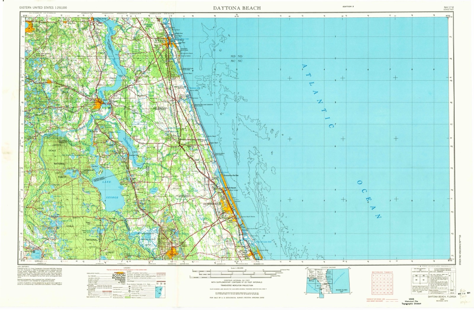
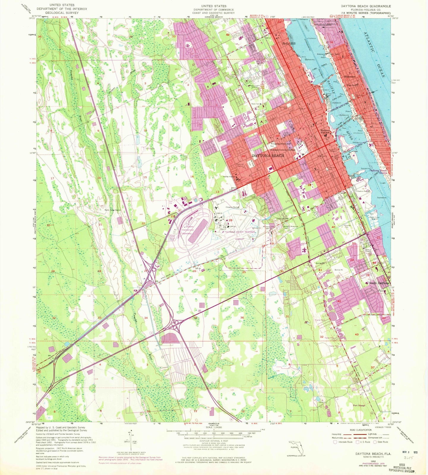
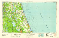
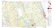
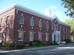
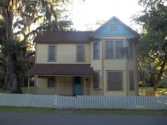
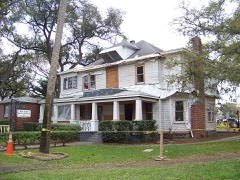
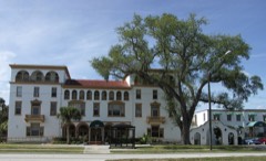
Listed on the National Register of Historic Places in 1997. 5 historic topographic surveys show this location, the earliest from 1952.
From the record
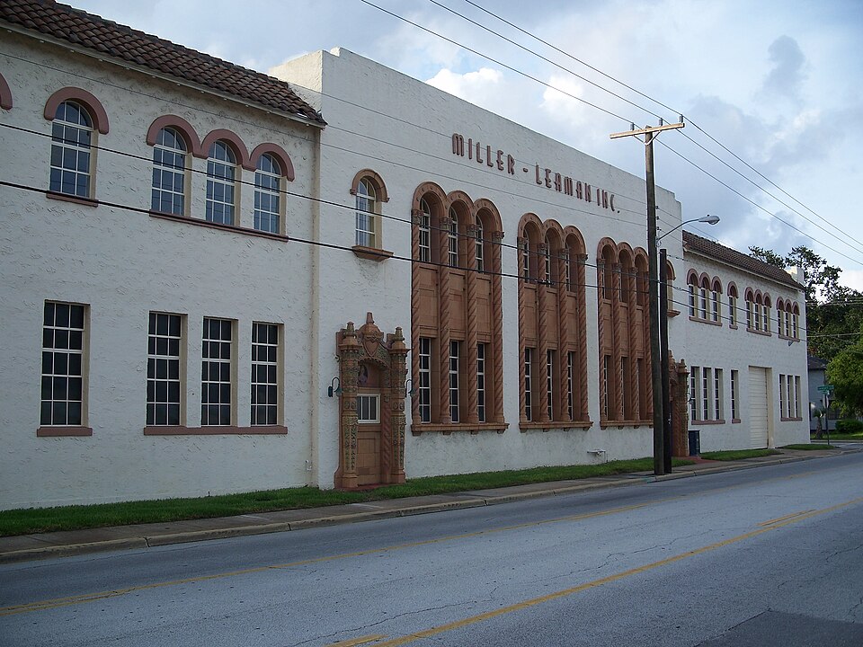
“The Seybold Baking Company Factory, also known as Columbia Baking Company or Southern Bakeries Factory, is a historic building at 800 Orange Avenue in Daytona Beach. It was added to the National Register of Historic Places on October 30, 1997.”
Wikipedia article Seybold Baking Company Factory, CC BY-SA 4.0.
One of 93 National Register listings published here for Volusia County · listed in 1997 · category: Building.
National Register reference number.97001283- the number the National Park Service assigned this property when it was listed, and the key its nomination file is catalogued under at the National Archives.
Then and now
1952 to 1954
The ground this property stands on, surveyed
2 years apart. Drag the handle to wipe between them. Both sheets are
United States Geological Survey originals; neither has been altered.
19521954
Fires near this property
236 since 1992
Regional context, not property-specific
evidence. The
federal wildfire occurrence database
lists 236 fires within 5 miles of Seybold Baking Company Factory
between 1992 and 2020, burning about 1,269 acres in total. 56 started naturally. 34 were recorded as arson.
Distance is straight-line from the map coordinates, so a fire counted
here may appear on a neighbouring settlement's page as well.
Reported cause
Fires
Natural
56
Missing data/not specified/undetermined
42
Equipment and vehicle use
38
Arson/incendiarism
34
Misuse of fire by a minor
24
Recreation and ceremony
23
Railroad operations and maintenance
13
Debris and open burning
3
Smoking
2
Power generation/transmission/distribution
1
The most recent of
them, most recent first, with the day each was reported and the service
that recorded it.
Regional context, not property-specific
evidence. The federal mineral resources record lists
2 workings within 5 miles of Seybold Baking Company Factory: 1 past producer, 1 producer.
1 still produces. What was taken out: Sand and Gravel, Construction, Limestone, General. Distance is straight-line from the
map coordinates, so a quarry counted here may appear on a neighbouring
settlement's page as well.
Regional context, not property-specific
evidence. The National Weather Service names
Daytona Beach, the town this property stands in, in 41 storm reports between 1993 and 2021: 14 hail, 13 thunderstorm wind, 5 rip current, 3 tornado.
The reports record 6 deaths and 20 injuries. Each account below is quoted exactly as the forecast office
filed it, from the NOAA Storm Events Database, and each date
opens the federal record of that event.
Large swells produced strong rip currents on Volusia County Beaches. Two fifteen year old brothers who were visiting Daytona Beach from Georgia were caught in a rip current and drowned.
The first tornado in a major tornado outbreak set down along Route 92 about 5 miles southwest of Daytona Beach. The category F2 tornado moved about 8 miles to the northeast passing over the junction of Interstate 95 and Interstate 4 and finally lifted in the south part of Daytona Beach west of the Intracoastal Waterway. Six hundred structures were damaged or destroyed. One person was killed in a mobile home and three others were injured.
A 28 year old man drowned when he was pulled away from the shore by a rip current. Lifeguards from Stuart to Daytona Beach reported large numbers of rescues due to rip currents.
Eight spectators were struck and injured by lightning at Daytona Beach International Speedway. Two of the victims were hospitalized. Six were treated and released at the scene.
An F1 tornado and strong downburst winds touched down in the heart of Daytona Beach just west of the Halifax River Lagoon. At least 100 homes and dozens of vehicles were damaged, many due to fallen trees. Boats on trailers were overturned and the roof of a furniture store was destroyed. An airplane was overturned at Daytona Beach Airport. Five people were injured, three were taken to an emergency room. Damage estimates were near $5 million.
A large number of rip currents formed along the coast of Volusia County. The county beach patrol pulled 86 people from the surf. One 17 year old boy was hospitalised.
A very slow-moving front produced persistent heavy rains across portion of Volusia County. Twenty-four hour rain totals were 6-10 inches, however most of the rain fell in less than 12-hours, impacting Daytona Beach and Port Orange. As much as 5-6 inches accumulated between 1500 and 1800 LST. Numerous roadways were flooded, with as much as 1-2 feet of standing water in some localized areas, resulting in road closures.
A waterspout made landfall along the beach in Daytona Beach damaging the roof of a house and blowing branches out of trees. Witnesses saw the spout come ashore.
United States Geological Survey topographic
sheets whose coverage includes this point. Matched by taking the coordinate the National Park Service records for this property, then
testing that coordinate against the published boundary of every sheet.
Other National Register properties close
enough to walk or drive between, ordered by distance from this one. Both
positions come from the same geocoding pass that matched these properties
to their map sheets.
Listing record. National Park Service National Register of Historic Places, listed-properties dataset, current to 2026-05-22.
Map join. Address geocoded through the United States Census geocoder, then tested against the published boundary of every sheet in the USGS Historical Topographic Map Collection.
How this page is made. Listing fields come from federal records; map-sheet coverage is a labelled coordinate-to-boundary calculation, not a source-field claim.
Wildfire. Short, Karen C. 2022. Spatial wildfire occurrence data for the United States, 1992-2020 [FPA_FOD_20221014]. 6th Edition. Fort Collins, CO: Forest Service Research Data Archive. https://doi.org/10.2737/RDS-2013-0009.6 Collected with United States Government funding and usable without additional permissions or fees.
Mines and quarries. USGS Mineral Resources Data System (MRDS) https://mrdata.usgs.gov/mrds/ A work of the United States government, no copyright under 17 U.S.C. 105.
Storms. NOAA National Centers for Environmental Information, Storm Events Database https://www.ncei.noaa.gov/stormevents/ A work of the United States government, no copyright under 17 U.S.C. 105. Narratives are quoted verbatim from the National Weather Service report and are not edited or summarised.
 Block
Block