Block
BlockFrom the record
One of 93 National Register listings published here for Volusia County · listed in 2000 · category: District.
Sources: the case file at the National Archives · the National Register database, National Park Service
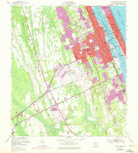
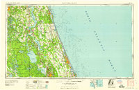
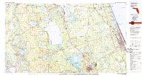
Listed on the National Register of Historic Places in 2000. 5 historic topographic surveys show this location, the earliest from 1952.
One of 93 National Register listings published here for Volusia County · listed in 2000 · category: District.
Sources: the case file at the National Archives · the National Register database, National Park Service
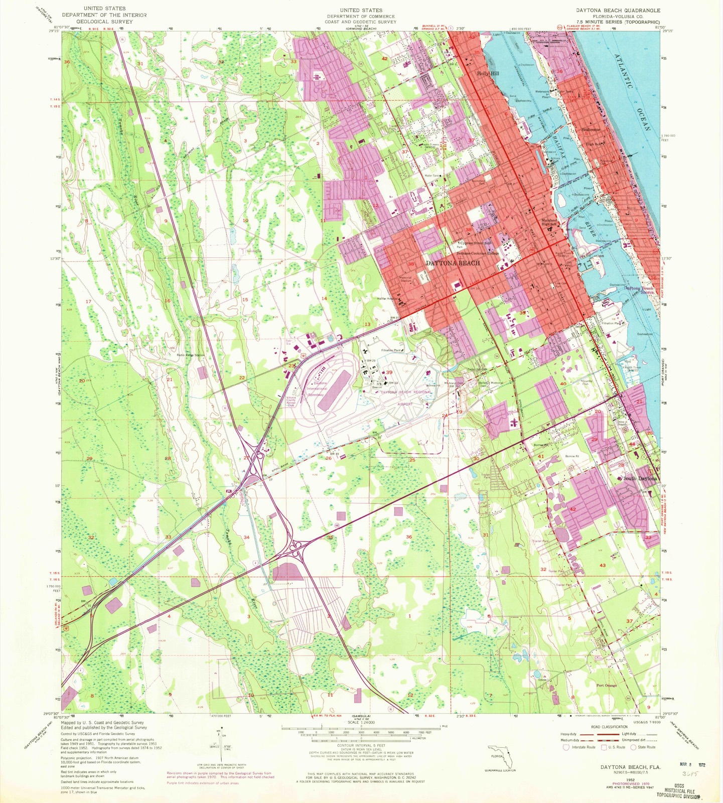
The ground this property stands on, surveyed 2 years apart. Drag the handle to wipe between them. Both sheets are United States Geological Survey originals; neither has been altered.
Regional context, not property-specific evidence. The federal wildfire occurrence database lists 156 fires within 5 miles of City Island between 1992 and 2020, burning about 512 acres in total. 23 started naturally. 27 were recorded as arson. Distance is straight-line from the map coordinates, so a fire counted here may appear on a neighbouring settlement's page as well.
| Reported cause | Fires |
|---|---|
| Missing data/not specified/undetermined | 29 |
| Equipment and vehicle use | 28 |
| Arson/incendiarism | 27 |
| Natural | 23 |
| Misuse of fire by a minor | 19 |
| Recreation and ceremony | 16 |
| Railroad operations and maintenance | 10 |
| Debris and open burning | 3 |
| Smoking | 1 |
The most recent of them, most recent first, with the day each was reported and the service that recorded it.
| Date | Cause | Size | Reported by | Name on the report |
|---|---|---|---|---|
| 9 September 1999 | Natural | under an acre | Florida Forest Service | not named |
| 5 September 2007 | Natural | 4.0 acres | Florida Forest Service | WF- BEVILLE ROAD |
| 18 September 2008 | Missing data/not specified/undetermined | under an acre | Florida Forest Service | WF VILLAGE LANE-0739 |
| 11 September 1992 | Railroad operations and maintenance | 2.0 acres | Florida Forest Service | not named |
| 9 August 2013 | Missing data/not specified/undetermined | 1.5 acres | Florida Forest Service | CEDAR HIGHLANDS (64) |
| 7 August 2016 | Debris and open burning | 1.0 acres | Florida Forest Service | PRIMROSE (64) |
| 30 August 2004 | Recreation and ceremony | under an acre | Florida Forest Service | HOMELESS FIRE |
| 30 August 1999 | Natural | under an acre | Florida Forest Service | not named |
Regional context, not property-specific evidence. The federal mineral resources record lists 1 working within 5 miles of City Island: 1 past producer. None of them still produces. What was taken out: Sand and Gravel, Construction. Distance is straight-line from the map coordinates, so a quarry counted here may appear on a neighbouring settlement's page as well.
| Where | Site | Commodity | Status | Recorded |
|---|---|---|---|---|
| Barbour Sand and Gravel Pit | Sand and Gravel, Construction | Past Producer |
Regional context, not property-specific evidence. The National Weather Service names Daytona Beach, the town this property stands in, in 41 storm reports between 1993 and 2021: 14 hail, 13 thunderstorm wind, 5 rip current, 3 tornado. The reports record 6 deaths and 20 injuries. Each account below is quoted exactly as the forecast office filed it, from the NOAA Storm Events Database, and each date opens the federal record of that event.
| When | Event | Place named | Harm | What the report says |
|---|---|---|---|---|
| June 2000 | Rip Current | Daytona Beach | 2 killed | Large swells produced strong rip currents on Volusia County Beaches. Two fifteen year old brothers who were visiting Daytona Beach from Georgia were caught in a rip current and drowned. |
| February 1998 | Tornado (F2) | Daytona Beach | 1 killed, 3 hurt, $4,000,000 | The first tornado in a major tornado outbreak set down along Route 92 about 5 miles southwest of Daytona Beach. The category F2 tornado moved about 8 miles to the northeast passing over the junction of Interstate 95 and Interstate 4 and finally lifted in the south part of Daytona Beach west of the Intracoastal Waterway. Six hundred structures were damaged or destroyed. One person was killed in a mobile home and three others were injured. |
| September 2005 | Rip Current | Daytona Beach | 1 killed | A 30 year-old man vacationing in Florida from New York drowned in a rip current. |
| October 2003 | Rip Current | Daytona Beach | 1 killed | A 70 year old man was swimming alone and was the apparent victim of a rip current. |
| June 1999 | Rip Current | Daytona Beach | 1 killed | A 28 year old man drowned when he was pulled away from the shore by a rip current. Lifeguards from Stuart to Daytona Beach reported large numbers of rescues due to rip currents. |
| July 2002 | Lightning | Daytona Beach | 8 hurt | Eight spectators were struck and injured by lightning at Daytona Beach International Speedway. Two of the victims were hospitalized. Six were treated and released at the scene. |
| March 2001 | Tornado (F1) | Daytona Beach | 5 hurt, $5,000,000 | An F1 tornado and strong downburst winds touched down in the heart of Daytona Beach just west of the Halifax River Lagoon. At least 100 homes and dozens of vehicles were damaged, many due to fallen trees. Boats on trailers were overturned and the roof of a furniture store was destroyed. An airplane was overturned at Daytona Beach Airport. Five people were injured, three were taken to an emergency room. Damage estimates were near $5 million. |
| June 2004 | Lightning | Daytona Beach | 2 hurt | Two spectators suffered minor injuries from a lightning strike at Daytona Beach International Speedway. |
| March 2001 | Thunderstorm Wind | Daytona Beach | 1 hurt, $30,000 | Strong microburst winds hit the barrier island in Daytona Beach destroying a large tent and a beach tollbooth. One person was injured. |
| June 1997 | Rip Current | Daytona Beach | 1 hurt | A large number of rip currents formed along the coast of Volusia County. The county beach patrol pulled 86 people from the surf. One 17 year old boy was hospitalised. |
| May 2005 | Hail | Daytona Beach | $100,000 | Hail damaged over a hundred cars and fifty airplanes near Embry-Riddle University. |
| July 2004 | Heavy Rain | Daytona Beach | $30,000 | A 600 square foot section of roof collapsed at a vacant store at the Daytona Mall due to the weight of rain. |
| June 1995 | Hail | Daytona Beach | $25,000 | Strong downburst winds blew down trees, destroyed a pool screen and produced two and one-half-inch-diameter hail in the Spruce Creek Village. |
| July 2002 | Lightning | Daytona Beach | $20,000 | Lightning started a fire that damaged an apartment building in Daytona Beach. |
| June 2001 | Thunderstorm Wind | Daytona Beach | $15,000 | Thunderstorm winds blew a 50 foot section off the roof of a restaurant in Daytona Bach. |
| June 2005 | Thunderstorm Wind | Daytona Beach | $10,000 | Thunderstorm winds blew down a large tree which damaged a truck. |
| November 2021 | Flood | Daytona Beach | $5,000 | A very slow-moving front produced persistent heavy rains across portion of Volusia County. Twenty-four hour rain totals were 6-10 inches, however most of the rain fell in less than 12-hours, impacting Daytona Beach and Port Orange. As much as 5-6 inches accumulated between 1500 and 1800 LST. Numerous roadways were flooded, with as much as 1-2 feet of standing water in some localized areas, resulting in road closures. |
| March 2018 | Hail | Daytona Beach | - | A member of the public reported ping pong ball sized hail at the intersection of Halifax Avenue and Seabreeze Boulevard in Daytona Beach. |
| March 2018 | Hail | Daytona Beach | - | A trained spotter reported 2 inch hail in Holly Hill. |
| March 2008 | Hail | Daytona Beach | - | A trained spotter reported quarter size hail. |
| October 2008 | Thunderstorm Wind | Daytona Beach | - | Trees were blown down on Tomoka Road. |
| March 2005 | Thunderstorm Wind | Daytona Beach | - | A wind gust to 63 mph was recorded at Daytona Beach International Airport. |
| August 2004 | Tornado (F0) | Daytona Beach | - | A waterspout made landfall along the beach in Daytona Beach damaging the roof of a house and blowing branches out of trees. Witnesses saw the spout come ashore. |
| April 1999 | Thunderstorm Wind | Daytona Beach | - | Thunderstorms winds blew down two trees in Daytona Beach. |
| February 1998 | Thunderstorm Wind | Daytona Beach | - | Thunderstorm winds blew down trees at Tuscawilla Park. |
| June 1997 | Funnel Cloud | Daytona Beach | - | A funnel cloud was sighted near Daytona Beach. |
| July 1997 | Thunderstorm Wind | Daytona Beach | - | Thunderstorm winds blew down three light poles at a baseball stadium. |
| June 1997 | Thunderstorm Wind | Daytona Beach | - | Thunderstorm winds blew down numerous large trees and damaged a roof. |
| May 1997 | Thunderstorm Wind | Daytona Beach | - | Thunderstorm winds blew down trees and power lines in Daytona Beach. |
| April 1997 | Thunderstorm Wind | Daytona Beach | - | Thunderstorm winds blew down trees and power lines near Interstate Highway 4 in Daytona Beach. |
| April 1997 | Thunderstorm Wind | Daytona Beach | - | Thunderstorm winds blew down trees and power lines near Interstate Highway 4 in Daytona Beach. |
| July 1994 | Hail | Daytona Beach | - | Dime-size hail fell from a severe thunderstorm in Daytona Beach. |
| July 1994 | Thunderstorm Wind | Daytona Beach | - | A wind gust of 67 mph was recorded at Daytona Beach Airport. |
| March 1993 | Hail | Daytona Beach | - | Golfball-size hail fell at the Daytona Beach Airport. |
| June 2007 | Hail | Daytona Beach | - | no account filed |
| May 2005 | Hail | Daytona Beach | - | no account filed |
| September 2000 | Hail | Daytona Beach | - | no account filed |
| May 1999 | Hail | Daytona Beach | - | no account filed |
| June 1998 | Hail | Daytona Beach | - | no account filed |
| March 1996 | Hail | Daytona Beach | - | no account filed |
| August 1996 | Hail | Daytona Beach | - | no account filed |
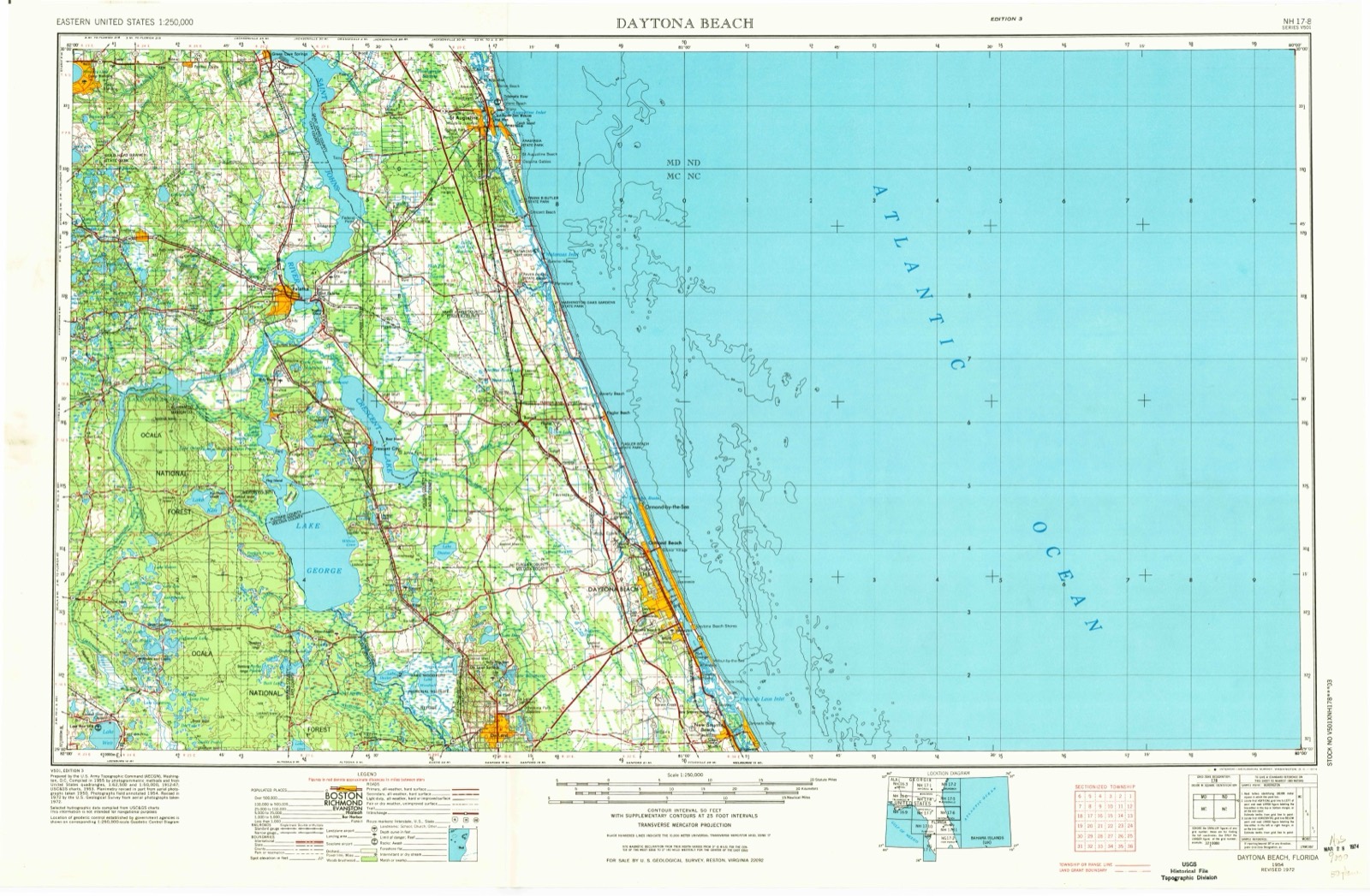
United States Geological Survey topographic sheets whose coverage includes this point. Matched by taking the middle of the area the National Park Service maps for this listing, then testing that coordinate against the published boundary of every sheet.
Other National Register properties close enough to walk or drive between, ordered by distance from this one. Both positions come from the same geocoding pass that matched these properties to their map sheets.
| Photograph | Property | Distance | Listed |
|---|---|---|---|
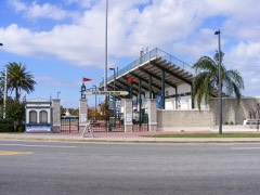 | City Island Ball Park | under 500 feet | 1998 |
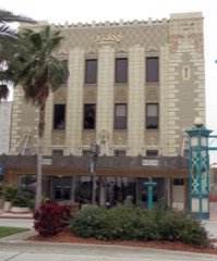 | Kress, S.H., and Co. Building | 0.2 miles | 1983 |
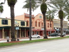 | South Beach Street Historic District | 0.3 miles | 1988 |
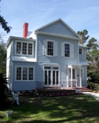 | Abbey, The | 0.3 miles | 1987 |
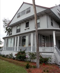 | Amos Kling House | 0.3 miles | 1993 |
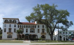 | Olds Hall | 0.4 miles | 1993 |
| National Archives record | The nomination case file for reference 99001646 in Record Group 79. |
| Volusia County | All 93 listed properties in this county. |