 Block
From the record
4 National Register listings published here.
Sources: the National Register database, National Park Service
18 topographic sheets cover 15 settlements here, and 4 properties are on the National Register of Historic Places.
4 National Register listings published here.
Sources: the National Register database, National Park Service
Every property in this county listed on the National Register of Historic Places, with the year it was listed and the federal nomination document.
| Photograph | Property | Type | Listed | Reference |
|---|---|---|---|---|
 | Baker County Courthouse | building | 1980 | 80004443 |
 | Notchaway Baptist Church and Cemetery | building | 2001 | 01000534 |
| Pine Bloom Plantation | district | 1990 | 90000105 | |
| Tarver Plantation | district | 1989 | 89002037 |
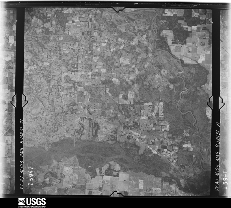
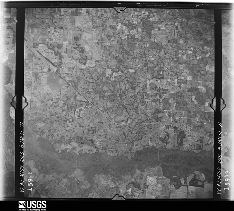
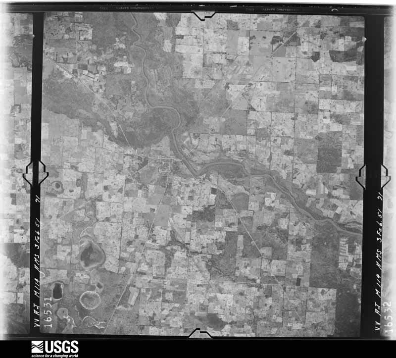
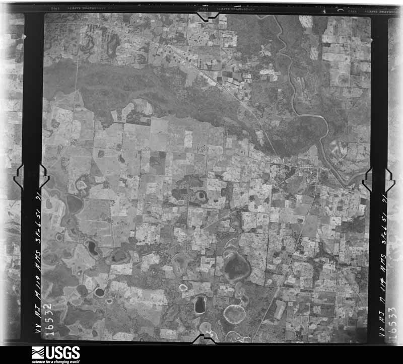
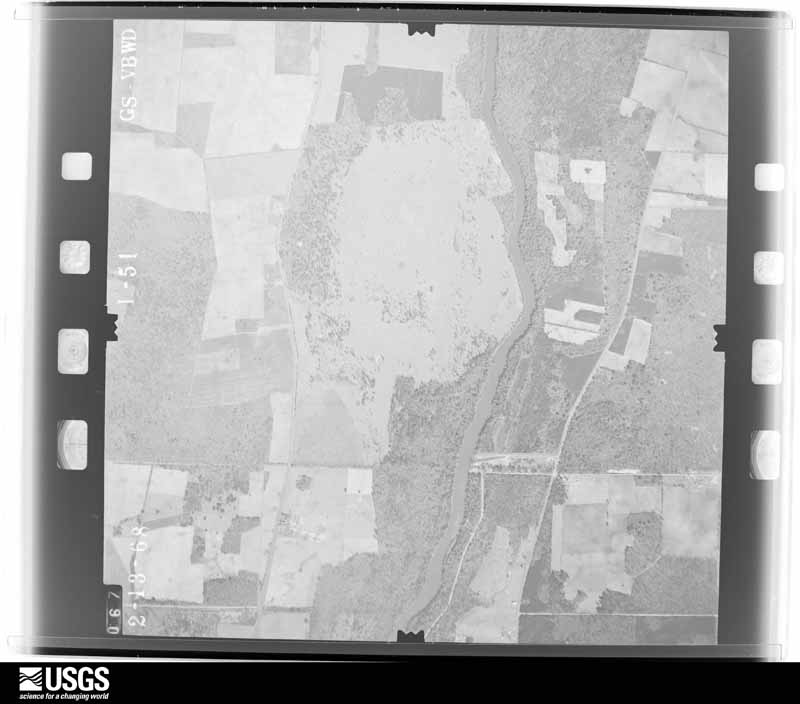
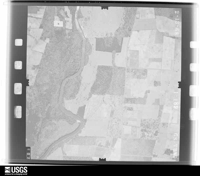
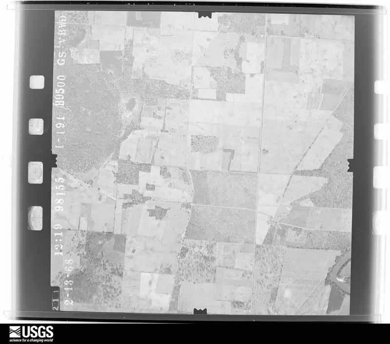
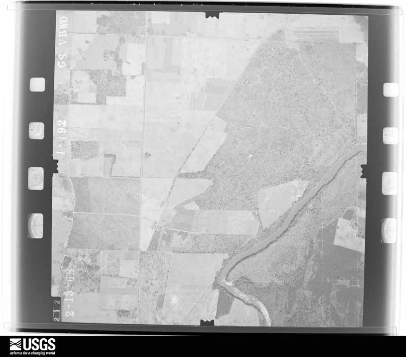
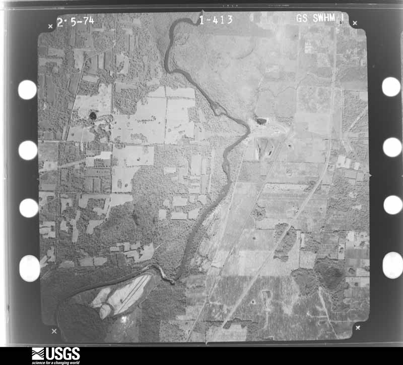
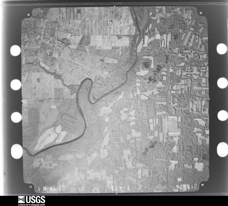
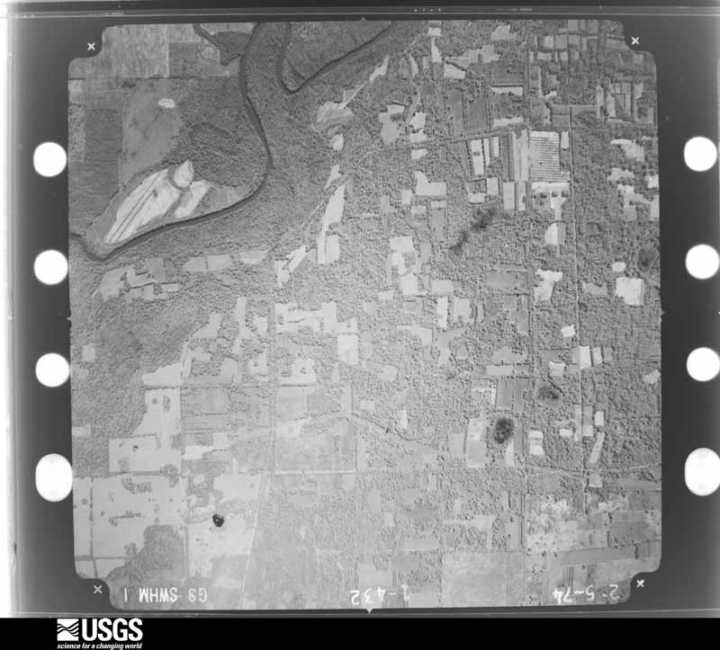
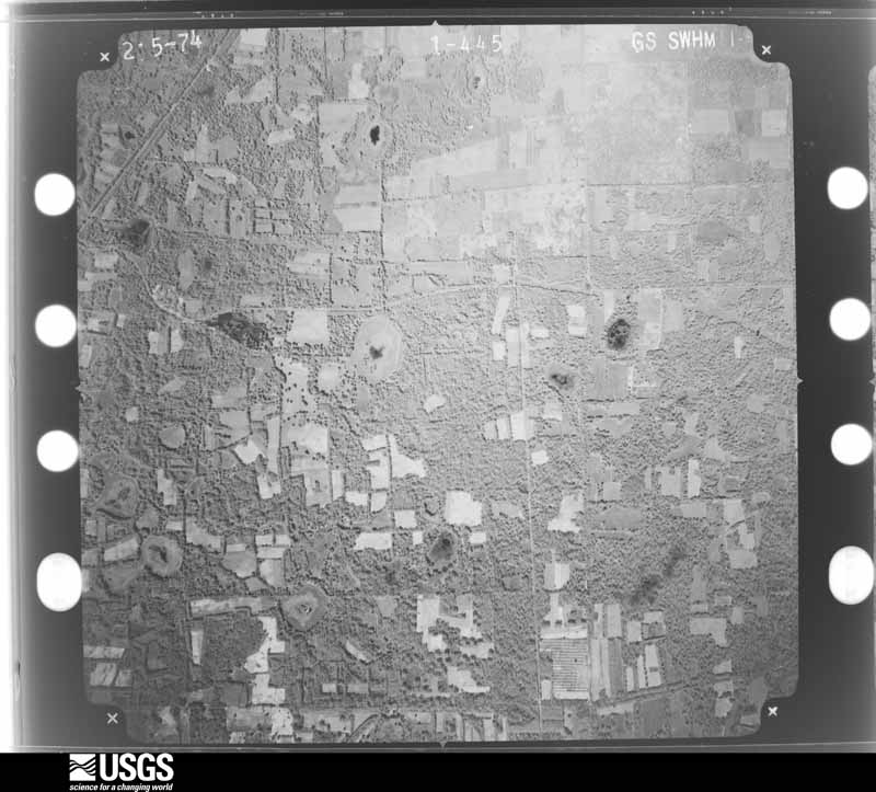
Flown by the U.S. Geological Survey between 1937 and 1989, the Aerial Photo Single Frames collection is the definitive mid-century view of the land: fields, roads and rivers as the camera saw them. The Survey holds 484 frames inside the rectangle that bounds this county; the 12 frames below were taken over the county itself, chosen across the decades of flights (at most four a year from that rectangle), so one flight cannot crowd out the rest. The full set is free to browse and download at EarthExplorer under the dataset Aerial Photo Single Frames.
The thermometers that kept this county's weather, and the gages that measured the flow of its streams, as the federal records hold them. The extremes below are measured values from those records, not estimates.
Who lived here in 1950, one enumeration district at a time, as the Census Bureau described each district. Each row opens its official National Archives result, with Population Schedules and ED Maps available there.
Every wildfire the federal occurrence database records inside this county: 629 of them, burning about 3,210 acres. 13 started naturally and 72 were recorded as arson. Each settlement page carries the fires within five miles of it.
| Reported cause | Fires |
|---|---|
| Debris and open burning | 418 |
| Arson/incendiarism | 72 |
| Equipment and vehicle use | 45 |
| Missing data/not specified/undetermined | 38 |
| Smoking | 18 |
| Misuse of fire by a minor | 17 |
| Natural | 13 |
| Recreation and ceremony | 6 |
| Railroad operations and maintenance | 2 |
The five largest, by the area the report gives. Three of them were set deliberately.
| Date | Cause | Size | Reported by | Name on the report |
|---|---|---|---|---|
| 18 March 2012 | Missing data/not specified/undetermined | 143 acres | Georgia Forestry Commission | FY2012-BAKER-016 |
| 12 October 1993 | Natural | 122 acres | Georgia Forestry Commission | not named |
| 26 October 2001 | Arson/incendiarism | 122 acres | Georgia Forestry Commission | FY2002-BAKER-011 |
| 2 July 2012 | Natural | 90 acres | Georgia Forestry Commission | FY2013-BAKER-001 |
| 3 March 2018 | Debris and open burning | 76 acres | Georgia Forestry Commission | FY2018BAKER008 |
| 26 November 2011 | Arson/incendiarism | 59 acres | Georgia Forestry Commission | FY2012-BAKER-008 |
| 18 April 2008 | Arson/incendiarism | 52 acres | Georgia Forestry Commission | not named |
| 24 May 1992 | Natural | 51 acres | Georgia Forestry Commission | not named |
Every settlement page carries the fires within five miles of it - see the settlement index below.
The NOAA Storm Events Database holds 110 reports for this county, causing 6 deaths, 3 injuries and about $2,285,100 in recorded property damage. Each settlement page carries the reports that name it.
| Kind of event | Reports |
|---|---|
| Thunderstorm Wind | 83 |
| Tornado | 10 |
| Flood | 5 |
| Hail | 4 |
| Flash Flood | 4 |
| Heavy Rain | 3 |
| Winter Storm | 1 |
The most serious of them, by death, then injury, then recorded damage. The accounts are quoted exactly as the forecast office filed them.
| When | Event | Place named | Harm | What the report says |
|---|---|---|---|---|
| March 2007 | Tornado (EF2) | Newton | 6 killed, 3 hurt, $1,250,000 | An EF-2 tornado touched down in rural Baker County west of Newton, then traveled rapidly northeast, and caused extensive damage to a mobile home park a mile north of Newton. Six people died and three were injured when their mobile homes were demolished by the tornado. A church was destroyed on State Highway 37 a few miles west of Newton. GEMA and FEMA damage assessments determined ten minor damaged homes, nine major damaged homes, and 18 destroyed homes. The tornado crossed into northern Mitchell County north of Baconton. A state of emergency was declared by the Governor. |
| April 2009 | Flood | Newton | $500,000 | Minor to moderate flooding along the Flint River flooded several homes. Highway 200 in Newton was closed. Water surrounded the courthouse and three vacant buildings. The river crested at 32 feet on April 5. |
| August 2008 | Flash Flood | Newton | $150,000 | Several roads and low lying areas were flooded, including portions of Newton, and State Highways 37 and 91. |
| April 2020 | Thunderstorm Wind | Milford | $50,000 | Mitchell EMC facebook page reports numerous broken power poles, power lines down, and trees on the power lines across its service area with 1956 outages. |
| January 2017 | Thunderstorm Wind | Newton | $50,000 | There was significant damage to trees and a few structures in the town of Newton. A survey determined that the damage was consistent with straight line winds near 85 mph. Damage cost was estimated. |
| January 2017 | Tornado (EF1) | Mimsville | $50,000 | An EF1 tornado touched down near Albany Highway and Kimbrel Road in eastern Miller County. The tornado traveled northeast, doing heavy damage to trees in along the path. A home and outbuildings were damaged near Highway 200 in Baker County before the tornado lifted. Max winds were estimated at 105 mph. Damage was estimated. |
| February 2012 | Thunderstorm Wind | Hoggard Mill | $50,000 | A mobile home near GA HWY 253 in extreme southern Baker county near the Decatur county border was blown over by thunderstorm winds. Some other light damage to nearby trees and outbuildings also occurred. Winds were estimated between 70 and 75 mph based on the damage. Monetary damage was estimated. |
| January 2016 | Flood | Red Store Crossroads | $28,000 | The Flint River at Newton crested in the moderate flood stage category at its 5th highest crest on record on January 3rd. Water up to 2 feet deep surrounded the courthouse in Newton and the adjacent old downtown area. Flooding of several roads also occurred in the area. Damage in Baker county was estimated at $28,696. |
| September 2004 | Tornado (F1) | Crestview | $20,000 | Trees were uprooted and twisted. Power lines were knocked down. Minor structural damage occurred. Reported by the Baker County EMA. |
| January 2013 | Tornado (EF0) | Newton | $15,000 | A Baker county fire chief reported a damage swath starting near the intersection of Highway 200 and Highway 37 where a house sustained minor damage, extending northeastward around 1 mile through portions of Newton where trees were snapped or twisted. The damage was consistent with an EF0 tornado with winds of 70-80 mph and also corresponded to an area of rotation on radar. Monetary damage was estimated. |
| December 2019 | Tornado (EF0) | Newton | $10,000 | The initial touchdown occurred north of Church road in Baker county where several trees and large limbs were snapped. The tornado moved northeast near a mobile home which received roof damage and the entire structure was slid off its support roughly 3 feet, as well as damaged an irrigation pivot. The tornado dissipated just west of Coon Pond Road. Max winds were estimated at 70 mph. Damage cost was estimated. |
| December 2007 | Thunderstorm Wind | Hoggard Mill | $10,000 | Numerous trees were blown down and two storage sheds were destroyed on State Highway 253 near the Baker-Decatur County line. |
| August 2006 | Thunderstorm Wind | Patmos | $10,000 | Several downed trees along Phillipsburg Road. One tree fell and damaged a pickup truck. Reported by the Camilla Enterprise. |
| September 2004 | Tornado (F1) | Hoggard Mill | $10,000 | Trees were uprooted and twisted. Power lines were knocked down. Reported by the Baker County EMA. |
| May 1999 | Thunderstorm Wind | Milford | $10,000 | Baker County EMA reported minor damage to a mobile home. |
| July 2024 | Thunderstorm Wind | Milford | $5,000 | Numerous power outages occurred in Baker county as a line of storms with gusty winds moved through. |
| July 2018 | Thunderstorm Wind | Milford | $5,000 | Trees and power lines were blown down across Baker county. |
| August 2012 | Thunderstorm Wind | Newton | $5,000 | Multiple trees were blown down along highway 37 with multiple trees and power lines down along Highway 200 near Newton. Monetary damage was estimated. |
| February 2012 | Thunderstorm Wind | Crestview | $5,000 | The Baker county 911 call center reported several trees down across the county. Monetary damage was estimated. |
| July 2000 | Thunderstorm Wind | Countywide | $5,000 | Some trees down on power lines. Reported by the Baker County Sheriff. |
| March 2012 | Thunderstorm Wind | Hoggard Mill | $4,000 | Trees and power lines were blown down. Monetary damage was estimated. |
| September 2011 | Thunderstorm Wind | Newton | $4,000 | Trees were blown down around the county. The monetary damage figure provided is a rough estimate. |
| March 2026 | Thunderstorm Wind | Elmodel | $3,000 | Several trees and power lines were blown down across the county. |
| April 2022 | Thunderstorm Wind | Mimsville | $3,000 | Around 40 trees were blown down across a large swath of Baker county. |
| April 2017 | Thunderstorm Wind | Patmos | $3,000 | Several trees and power lines were blown down. |
| July 2016 | Thunderstorm Wind | Elmodel | $3,000 | The Mitchell EMC power company reported power outages all due to high winds in portions of Baker and Dougherty counties. |
| April 2015 | Thunderstorm Wind | Newton | $3,000 | Several trees and power lines were blown down. |
| July 2012 | Thunderstorm Wind | Hoggard Mill | $3,000 | The Baker county 911 dispatch reported trees down along Highway 253. Monetary damage was estimated. |
| April 1980 | Tornado (F1) | not stated | $2,500 | no account filed |
| July 2023 | Thunderstorm Wind | Red Store Crossroads | $2,000 | Several power outages occurred as gusty winds moved through the area in associations with thunderstorms. |
| April 2021 | Thunderstorm Wind | Newton | $2,000 | Trees and power lines were blown down. |
| December 2019 | Thunderstorm Wind | Newton | $2,000 | Multiple trees and power lines were blown down. |
| July 2007 | Thunderstorm Wind | Elmodel | $2,000 | Several trees and utility poles were down. |
| June 2023 | Tornado (EF1) | Elmodel | $1,000 | A short lived tornado was captured by storm chaser video as it crossed farmland in northern Baker County, GA north of Clear Lake Road. The tornado flipped an irrigation pivot as it touched down and then snapped and uprooted several trees along its path before lifting west of Halls Pond. Damage associated with this tornado is consistent with EF-1 damage with maximum sustained winds of 105 mph. |
| April 2015 | Thunderstorm Wind | Iveys Mill | $1,000 | Trees were blown down along Patmos Highway. |
| March 2014 | Thunderstorm Wind | Newton | $1,000 | A tree was blown down on Coone Pond Road. |
| May 2012 | Thunderstorm Wind | Milford | $1,000 | A tree was blown down on Choice Goodman Road. Monetary damage was estimated. |
| May 2012 | Thunderstorm Wind | Mimsville | $1,000 | A tree was blown down on Highway 200. Monetary damage was estimated. |
| July 2012 | Thunderstorm Wind | Newton | $1,000 | A tree was blown down in Newton. Monetary damage was estimated. |
| May 2006 | Thunderstorm Wind | Countywide | $1,000 | The Baker County Sheriff reported numerous trees down throughout the county. |
| April 2002 | Thunderstorm Wind | Countywide | $1,000 | Downed trees reported by the Baker County Sheriff. |
| August 2014 | Thunderstorm Wind | Newton | $500 | A tree was blown down onto Clear Lake Road. |
| April 2006 | Thunderstorm Wind | Elmodel | $500 | The Georgia DOT reported a few downed trees on County Road 126. |
| June 1994 | Thunderstorm Wind | Newton | $500 | A few large trees and power lines were downed by thunderstorm winds in Newton. |
| July 1994 | Thunderstorm Wind | Newton | $500 | Thunderstorm winds downed numerous tree limbs across county roads 8 miles east of Newton. |
| August 1994 | Thunderstorm Wind | Newton | $500 | Mitchell Electric reported numerous trees were blown down onto powerlines along Georgia Highway 200 in Newton. |
| June 1997 | Thunderstorm Wind | Newton | $100 | no account filed |
| January 2026 | Thunderstorm Wind | Newton | - | Tree damage was reported in Newton including one large pine tree uprooted. |
| March 2025 | Thunderstorm Wind | Bethany | - | A tree was blown down near Highway 200. |
| June 2025 | Thunderstorm Wind | Mimsville | - | Two trees were blown down in Baker County. |
| April 2025 | Thunderstorm Wind | Elmodel | - | Trees were blown down onto Jericho Road. |
| January 2025 | Winter Storm | not stated | - | Snow began to fall by mid-morning across Gilmer County, becoming heavy at times. Widespread 2 to 4 inches of snow accumulations, with localized amounts up to 6 inches, occurred by early afternoon. The snow gradually mixed with sleet and freezing rain during the afternoon that resulted in an additional 1/10 to 1/4 inch of ice accumulation on top of the snow. Numerous roads, especially those untreated, were very difficult to travel on, if not impassable. |
| April 2024 | Flash Flood | Bethany | - | Water was covering Phillipsburg Road. |
| April 2024 | Flash Flood | Crestview | - | Flooding was reported on Hamill Road about 1 mile south of Patmos Milford Highway. |
| March 2024 | Flash Flood | Hawkinstown | - | Water was over the roadway on Hamill Road near Highway 200. |
| March 2023 | Thunderstorm Wind | Elmodel | - | Two trees were blown down along Jericho Road. |
| March 2023 | Thunderstorm Wind | Mimsville | - | A tree was blown down on Josuli Road. |
| July 2023 | Thunderstorm Wind | Elmodel | - | Trees were blown down along Highway 37. |
| July 2023 | Thunderstorm Wind | Newton | - | A tree was blown down along Highway 91. |
| August 2023 | Thunderstorm Wind | Hoggard Mill | - | A tree was blown down onto Highway 91 South in Baker county. |
The Survey's mineral resources record lists 1 working inside this county. It is closed or unrecorded. Each settlement page carries the workings within five miles of it.
| Commodity | Workings |
|---|---|
| Mica | 1 |
The least common of them first, because a county's hundredth gravel pit says nothing its first ten did not.
| Where | Site | Commodity | Status | Recorded |
|---|---|---|---|---|
| Fretwell South Prospect | Mica | Prospect |
Named settlements recorded in the Geographic Names Information System, each with the topographic sheets covering it. Villages, hamlets and abandoned places alike. Each is shown with the nearest named watercourse or landform and the survey quadrangle it falls on.
Milford census division · 39837 · Cooktown quadrangle
8 sheets, 1953 to 1981
No longer a settlement
Milford census division · 39870 · Bethany quadrangle
8 sheets, 1953 to 1981
No longer a settlement
Milford census division · 39862 · On Mill Creek · Leary quadrangle
8 sheets, 1953 to 1981
Milford census division · 39862 · On Alligator Creek · Leary quadrangle
8 sheets, 1953 to 1981
Newton census division · 39870 · On Cooleewahee Creek · Newton quadrangle
10 sheets, 1953 to 1981
Milford census division · 39862 · On Alligator Creek · Leary quadrangle
8 sheets, 1953 to 1981
Newton census division · 39870 · Red Store Crossroads quadrangle
9 sheets, 1953 to 1981
The vanished settlements of Baker County: the places named above that are no longer on the map.