 Block
From the record
15 National Register listings published here.
Sources: the National Register database, National Park Service
33 topographic sheets cover 19 settlements here, and 15 properties are on the National Register of Historic Places.
15 National Register listings published here.
Sources: the National Register database, National Park Service
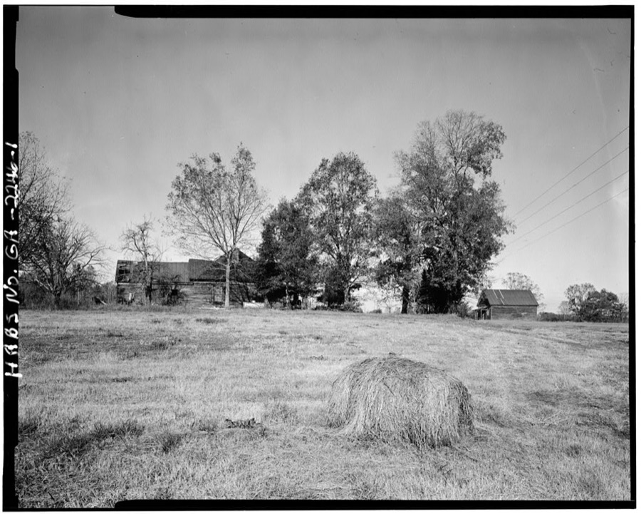
Taken for the Office of War Information and the Farm Security Administration, who photographed the country between 1935 and 1944. Works of United States government photographers, with no known restriction on use. Each opens its catalogue record.
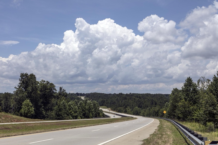
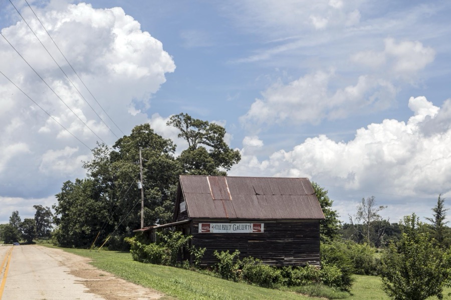
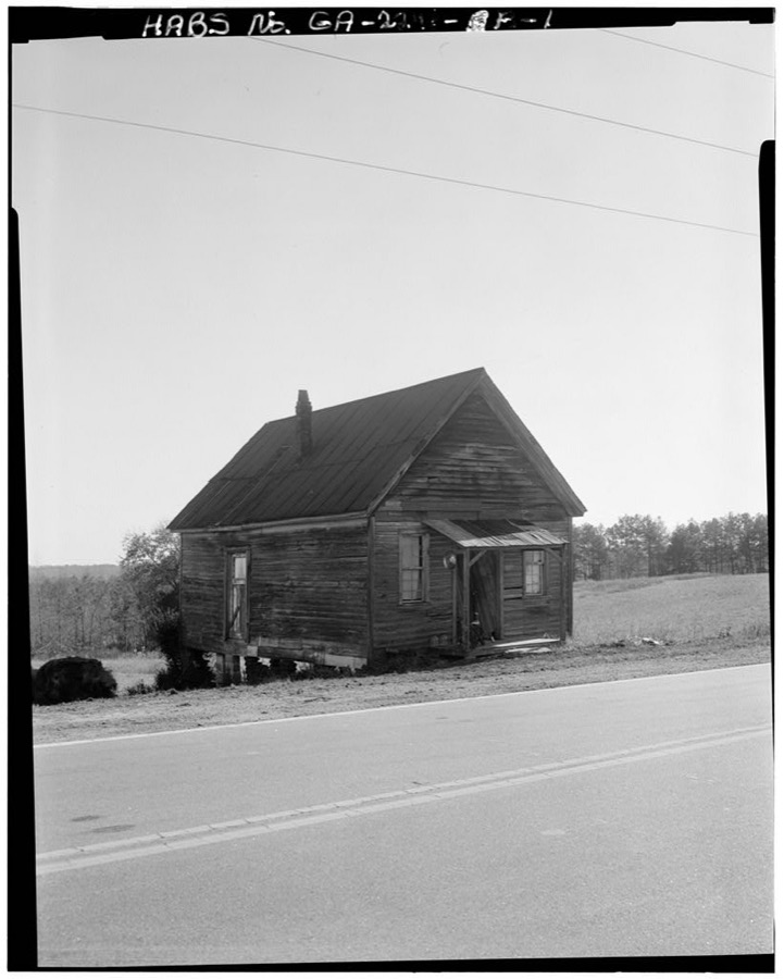
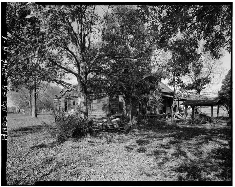
Every property in this county listed on the National Register of Historic Places, with the year it was listed and the federal nomination document.
| Photograph | Property | Type | Listed | Reference |
|---|---|---|---|---|
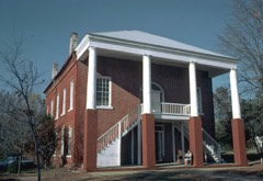 | Banks County Courthouse | building | 1980 | 80000969 |
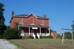 | Banks County Jail | building | 1982 | 82002382 |
| Brooks Family Farm | district | 2013 | 13000529 | |
 | William Chambers House | building | 1996 | 96001305 |
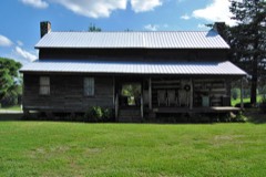 | Fort Hollingsworth-White House | building | 1998 | 98000973 |
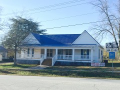 | Gillsville Historic District | district | 1985 | 85001933 |
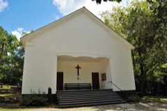 | Hebron Church, Cemetery, and Academy | building | 1985 | 85002176 |
| Homer Historic District | district | 1985 | 85003110 | |
| Homer Historic District (Boundary Increase) | district | 1993 | 93000422 | |
| Kesler Covered Bridge | structure | 1975 | 75000571 | |
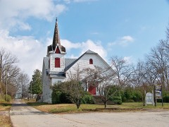 | Maysville Historic District | district | 1985 | 85002203 |
| Mount Pleasant Historic District | district | 1996 | 96001306 | |
| Nails Creek Historic District | district | 1996 | 96001307 | |
| New Salem Covered Bridge | structure | 1975 | 75000570 | |
| Turk Family Farm | district | 2003 | 03001365 |
Banks County has 2 covered bridges on the National Register. Each is a listed structure with a federal nomination on file.
| Kesler Covered Bridge | Listed 1975 | |
| New Salem Covered Bridge | Listed 1975 |
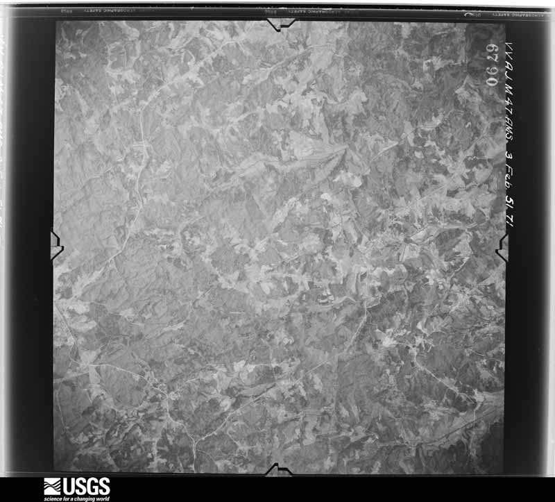
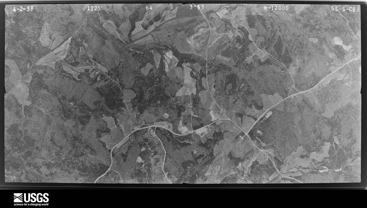
Flown by the U.S. Geological Survey between 1937 and 1989, the Aerial Photo Single Frames collection is the definitive mid-century view of the land: fields, roads and rivers as the camera saw them. The Survey holds 374 frames inside the rectangle that bounds this county; the 16 frames below were taken over the county itself, chosen across the decades of flights (at most four a year from that rectangle), so one flight cannot crowd out the rest. The full set is free to browse and download at EarthExplorer under the dataset Aerial Photo Single Frames.

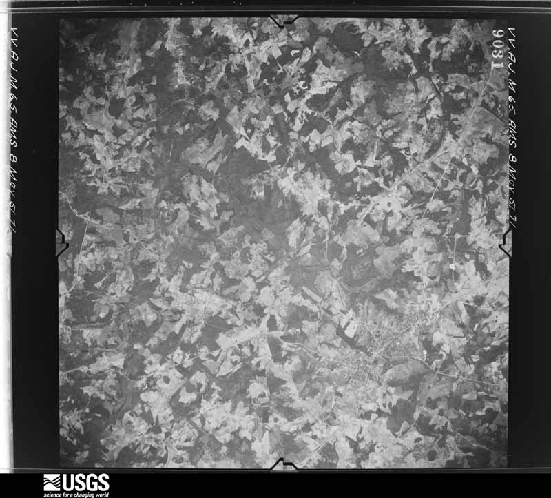

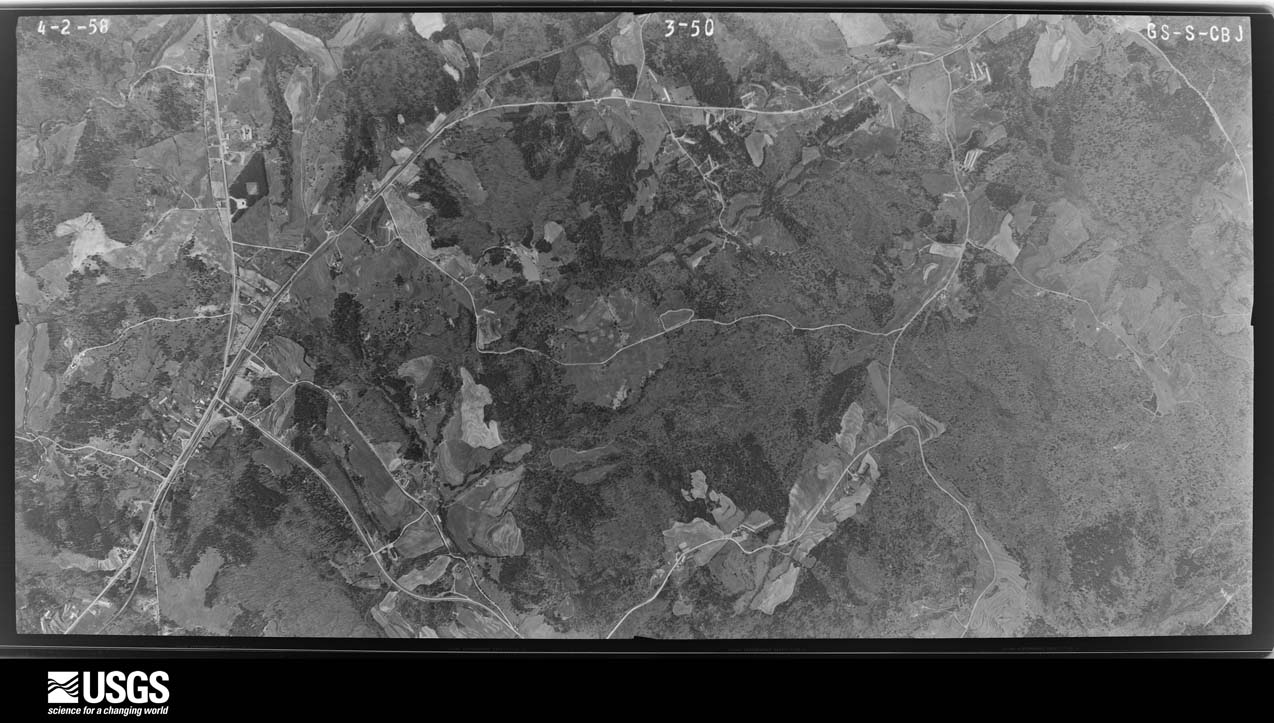
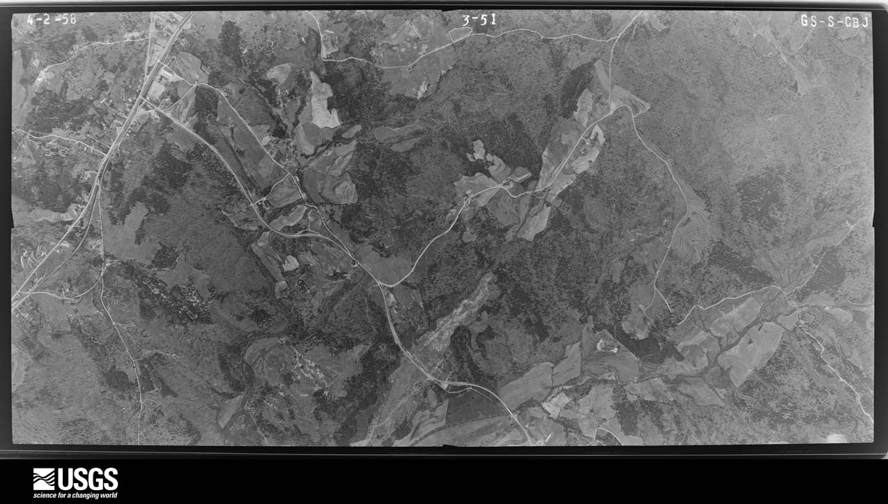
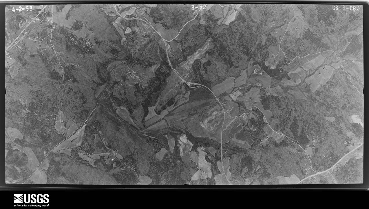








The thermometers that kept this county's weather, and the gages that measured the flow of its streams, as the federal records hold them. The extremes below are measured values from those records, not estimates.
Who lived here in 1950, one enumeration district at a time, as the Census Bureau described each district. Each row opens its official National Archives result, with Population Schedules and ED Maps available there.
Every wildfire the federal occurrence database records inside this county: 415 of them, burning about 966 acres. 9 started naturally and 52 were recorded as arson. Each settlement page carries the fires within five miles of it.
| Reported cause | Fires |
|---|---|
| Debris and open burning | 256 |
| Arson/incendiarism | 52 |
| Equipment and vehicle use | 38 |
| Missing data/not specified/undetermined | 25 |
| Smoking | 15 |
| Natural | 9 |
| Misuse of fire by a minor | 9 |
| Recreation and ceremony | 6 |
| Railroad operations and maintenance | 5 |
The five largest, by the area the report gives. Three of them were set deliberately.
| Date | Cause | Size | Reported by | Name on the report |
|---|---|---|---|---|
| 20 September 1997 | Arson/incendiarism | 44 acres | Georgia Forestry Commission | not named |
| 9 March 2010 | Debris and open burning | 38 acres | Georgia Forestry Commission | FY2010-BANKS-003 |
| 31 January 2014 | Debris and open burning | 37 acres | Georgia Forestry Commission | FY2014-BANKS-006 |
| 24 February 2014 | Debris and open burning | 25 acres | Georgia Forestry Commission | FY2014-BANKS-008 |
| 20 March 2010 | Debris and open burning | 23 acres | Georgia Forestry Commission | FY2010-BANKS-005 |
| 23 February 1993 | Arson/incendiarism | 22 acres | Georgia Forestry Commission | not named |
| 9 June 1993 | Arson/incendiarism | 22 acres | Georgia Forestry Commission | not named |
| 27 November 2005 | Debris and open burning | 20 acres | Georgia Forestry Commission | not named |
Every settlement page carries the fires within five miles of it - see the settlement index below.
The NOAA Storm Events Database holds 196 reports for this county, causing 1 death, 6 injuries and about $3,479,950 in recorded property damage. Each settlement page carries the reports that name it.
| Kind of event | Reports |
|---|---|
| Thunderstorm Wind | 112 |
| Hail | 52 |
| Flash Flood | 12 |
| Tornado | 10 |
| Funnel Cloud | 4 |
| Flood | 2 |
| Lightning | 2 |
| Heavy Rain | 1 |
| Winter Storm | 1 |
The most serious of them, by death, then injury, then recorded damage. The accounts are quoted exactly as the forecast office filed them.
| When | Event | Place named | Harm | What the report says |
|---|---|---|---|---|
| July 2008 | Thunderstorm Wind | Gillsville | 1 killed, $30,000 | The Banks County Emergency Management Director reported that more than a dozen trees were down across the county. A number of trees were down in the western part of the county along Georgia Highway 51 and Hickory Flat Road between Gillsville and Homer, and in the eastern part of the county on Georgia Highway 51 between U.S. Highway 441 and the Franklin county line. A 70 year-old male was killed on Rock Springs Road, approximately four miles northwest of Homer, when a tree fell on his home. He was killed instantly when the tree fell on the bedroom portion of his mobile home. |
| February 1952 | Tornado (F2) | not stated | 3 hurt, $250,000 | no account filed |
| May 1976 | Tornado (F2) | not stated | 2 hurt, $250,000 | no account filed |
| July 2000 | Tornado (F0) | Homer | 1 hurt, $105,000 | An NWS Survey Team concluded that an F0 tornado briefly touched down 5 miles west-southwest of Homer and traveled for 2 miles with an approximate path width of 100 yards to a point approximately 3 miles southwest of Homer. One person was injured, apparently by debris, but little additional information was known. The Banks county newspaper reported that the tornado completely destroyed a chicken breeder/pullet building on Simms Road, which had 11,000 chickens inside. The number of chickens that survived was unknown, but the loss of the chicken house and chickens was estimated at $66,000. At the neighboring residence, a satellite dish was destroyed when a large tree fell on it. Another house on Wellborn Road sustained damage when a large uprooted tree fell on the back portion of the house causing damage. Roads and yards in the area were littered with fallen trees and debris. Several roads were blocked as a consequence. |
| April 2006 | Tornado (F0) | Five Pts | $350,000 | A damage survey conducted by the Banks County Emergency Management Director and the National Weather Service concluded that a brief F0 tornado touched down just north of Interstate-85 at 363 Dodd Road (which parallels the interstate) completely destroying one chicken house and removing another from its foundation. Large pieces of metal from the chicken house were wrapped around an adjacent silo. |
| April 1989 | Tornado (F2) | not stated | $250,000 | no account filed |
| April 2017 | Hail | Five Pts | $241,000 | A CoCoRaHS observer reported golf ball size hail. |
| May 2014 | Hail | Alto | $238,000 | The public reported golf ball sized hail along Yona Homer Road. |
| May 2014 | Hail | Silver Shoal | $238,000 | The Banks County 911 Center reported golf ball sized hail west of Mount Pleasant. |
| January 1995 | Tornado | Homer to | $204,000 | A pastor's brick home as well as three chicken houses were destroyed. A backyard barn was also destroyed. Four frame houses along Mt. Sinai Road were damaged. An older frame house was moved off its foundation. Afterwards, the tornado destroyed a concrete block fire station near the Rock Springs community. Seventy-five foot Pine trees were sheared at their trunknowns. No injuries were reported. |
| August 2005 | Flash Flood | Maysville | $175,000 | The Banks County Emergency Management Director reported flash flooding along Grove Creek and Hickory Creek at Georgia Highway 98. Two homes were flooded and the residents had to be relocated. Hembree and Hickory Creek Roads were flooded and closed. Rainfall of four to five inches fell across the southern portions of Banks county between Maysville and Homer during the late morning and early afternoon hours. |
| June 2007 | Hail | Homer | $140,000 | The Banks County Emergency Management Director reported golf ball-sized hail in the east and southeast part of the county. |
| August 2021 | Tornado (EF1) | Carlan | $100,000 | A National Weather Service survey found that an EF1 tornado with maximum wind speeds of 90 mph and a maximum path width of 100 yards touched down in Banks County along Bennett Road west of Highway 63. The tornado uprooted and snapped trees as it moved northwest along Bennett Road. One home was almost completely destroyed by a falling oak tree. The tornado continued to the Northwest across a landfill before crossing Highway 51 around Damascus Road where numerous trees were snapped or uprooted. Continuing to the Northwest, the tornado crossed Payne Road snapping and uprooting dozens of trees and destroying a chicken house on the north|side of Payne Road. A small trailer was rolled and thrown 30 yards. The tornado was at its strongest along Payne Road before beginning to weaken as it continued moving to the northwest. A tree was blown down into a home along Hawkins Road right before the tornado lifted as it approached Pace and Caudell Roads. [8/17/21: Tornado #7, County #1/1, EF-1, Banks, 2021:021]. |
| April 2020 | Tornado (EF1) | Baldwin | $100,000 | This survey/narrative was done by NWS Greenville-Spartanburg. This tornado touched down in extreme northeast Hall County and quickly crossed into Habersham County along Herring Mill Rd. The tornado moved east/northeast, crossing U.S.23 just west of Alto. The tornado began to move in more of an easterly direction as it moved across the south side of the city of Baldwin, taking it into Banks County, near the intersection of Park Ave and Old Orchard Rd. The tornado continued east from Baldwin, although damage indicators became more sporadic as it passed through a remote portion of the |Chattahoochee-Oconee National Forest. The tornado briefly crossed over the southeast corner of Habersham County again, before moving into Stephens County, apparently dissipating in the Old Cannon Rd/E Red Root Rd area. Damage along the entire path was largely limited to snapped and uprooted trees, although one mobile home received minor to moderate roof damage on Hamby Mountain Park Dr in Baldwin (Banks County). [04/13/20: Tornado #14, County #2/2, EF-1, Banks, 2020:020]. |
| April 2019 | Thunderstorm Wind | Banks Crossing | $50,000 | The Banks County 911 center reported trees and power lines blown down from just north of Banks Crossing on Rattle Trap Road and on Denton Drive to the Pinefield Crossroads area northeast of Homer near the intersection of Damascus Road and Murray Road. |
| May 2014 | Tornado (EF1) | Homer | $50,000 | A National Weather Service survey team determined that an EF-1 tornado touched down to the north of Homer in a heavily wooded area where it snapped the trunks of numerous mature hardwood trees as well as causing minor roof damage to one home. The torando was widest at the beginning of the path. It continued moving quickly to the northeast where more trees were downed and snapped along the track. Four additional homes also received minor roof damage. The tornado produced EF-0 damage to trees before lifting in a wooded area in northeast Banks County.|[05/15/14: Tornado #1, County #1-1, EF1, Banks, 2014:007]. |
| July 2008 | Lightning | Homer | $50,000 | The Banks County Emergency Management Director reported that lightning struck a home on Bell Road and set it on fire. |
| January 2007 | Thunderstorm Wind | Homer | $50,000 | The Banks County Emergency Management Director reported that a number of trees were blown down throughout the county from west to east. A number of power lines were also down. At least 12 roads across the counties were closed as a result of downed trees and power lines. Some of the closed roads included Georgia Highway 15, 98, and 51, Bennett Road, and Willis Road. In addition, two homes were damaged when trees fell on the structures. One of the damaged homes was on Georgia Highway 51 north of Homer where the porch and part of the roof were stripped away by a downed tree. The other was a mobile home on Georgia Highway 98, also north of Homer where a tree fell on a mobile home. |
| June 2005 | Flash Flood | Hollingsworth | $50,000 | The Banks County Emergency Management Director reported that very heavy rain from thunderstorms caused Mountain Creek to rapidly exceed its banks and wash out an earthen bridge on Dalton Road just south of Hollingsworth. As a result, the road was closed. Little Nails Creek in the same area also exceeded its banks and washed out a portion of Moss Mill Road, a gravel road. |
| September 2004 | Flash Flood | Countywide | $50,000 | The Banks County News of Homer reported significant flash flooding throughout the county, which flooded streets and bridges and washed out several roads. At least one mudslide was also reported. A five-foot cross section of a road along Wofford Creek was washed out and parts of the Banks County Recreation Park were completely under water. |
| August 2002 | Thunderstorm Wind | Countywide | $45,000 | The Banks county 911 center reported that numerous trees were blown down across the county. The Homer and Maysville areas were especially hard hit, where a tree fell on a house and two cars were damaged. All together, 37 roads were blocked across the county because of downed trees, including Georgia Highways 198, 441, and 51. Numerous power outages were also reported across the county. |
| June 2009 | Thunderstorm Wind | Lula | $40,000 | The Banks County Emergency Management Director reported that at least 25 trees were blown down across the county, several blocking roads, and one downed tree causing significant damage to the roof of a home. Widespread power outages were observed and a number of traffic signals were rendered inoperative as a result. Some railroad crossing arms were also torn off by the strong winds gusts. |
| October 2020 | Flash Flood | Alto | $30,000 | The Emergency Manager reported flooding issues in the county including: Purvis Road washed out, Apple Valley Road home flooded, a bridge closed on Westmoreland, and the closure of Moss Farm Road. Radar estimates indicate that 3 to 6 inches of rain occurred in the area, resulting in the flash flooding. |
| June 2005 | Heavy Rain | Lula | $25,000 | The Banks County Emergency Management Director reported that a structure collapsed as a result of heavy rain. Some people were trapped inside the structure, but all were rescued safely. |
| July 2003 | Thunderstorm Wind | Homer | $25,000 | The Banks county Emergency Management Director reported that thunderstorm winds blew down several trees in the Homer area and caused minor damage to a construction site and an adjacent restaurant near the Jackson county line, just off U.S. Highway 441. Other trees and some power lines were blown down in Maysville. |
| February 2011 | Thunderstorm Wind | Homer | $20,000 | The Banks County Emergency Management Director reported that a storage building belong to Home Depot was blown onto U.S. Highway 441. A couple of signs were also blown down onto the highway. The Banks County News of Homer reported that at least 16 trees were down with power outages in the Maysville and Gillsville areas. |
| November 2016 | Tornado (EF1) | Banks Crossing | $15,000 | A National Weather Service storm survey team found that an EF1 tornado with maximum winds of 90 MPH moved along a path with a maximum width of 100 yards for 0.50 miles across portions of Banks County. The tornado crossed into Banks County from Jackson County along the I-85 frontage road and continued northeast before ending around the intersection of Highway 441 and East Ridgeway Road where a couple of large business signs were blown out. [11/30/16: Tornado #6, County #2/2, EF1, Banks, 2016:012]. |
| June 2008 | Lightning | Homer | $15,000 | The Banks County Emergency Management Director reported that lightning set a barn on fire in the western part of the county. |
| June 2007 | Thunderstorm Wind | Homer | $15,000 | The Banks County Emergency Management Director reported that up to 15 trees were blown down across the county, mainly the eastern and southern portions. Three trees were down on power lines. A portion of the Old Navy sign at the Banks Crossing Outlet Mall was damaged by the strong winds. |
| July 2003 | Thunderstorm Wind | Countywide | $15,000 | The Banks county 911 center reported that at least 23 trees and seven power lines were down across the county. |
| January 1996 | Thunderstorm Wind | Lula | $15,000 | no account filed |
| August 2019 | Thunderstorm Wind | Alto | $10,000 | Multiple reports of trees down around the county, specifically along Apple Pie Ridge Road, historic Homer Highway, Carson Segars Road, and McDonald Circle. Time estimated from radar. |
| August 2013 | Flash Flood | Lula | $10,000 | The Banks County emergency manager reported flood waters from drainage ditches and small streams overflowed portions of around 7 roads between Alto and Homer. Some erosion damage occurred to gravel roads and culvert pipes. |
| April 2011 | Thunderstorm Wind | Lula | $10,000 | The Banks County Emergency Management Director reported that more than a dozen trees were down across the county, including three on Interstate-85 near Banks Crossing. Nearly the entire county was left without power following the damaging thunderstorm winds. |
| March 2008 | Thunderstorm Wind | Banks Crossing | $10,000 | The Banks County Emergency Management Director reported that thunderstorm winds caused minor damage to five buildings in the Tanger Outlet Mall of Banks Crossing. |
| July 2017 | Thunderstorm Wind | Lula | $8,000 | The Banks County 911 center reported trees blown down from east of Lula to north of Commerce including around the intersection of Mangum Bridge Road and West Ridgeway Road and around the intersection of Chambers Road and Highway 59. A transformer was blown near the intersection of Highway 51 and Jacks Drive. |
| August 2003 | Thunderstorm Wind | Homer | $8,000 | The Banks county 911 center reported that a number of trees had been blown down between Homer and Hollingsworth along U.S. Highway 441. Three roads were blocked and closed because of the downed trees. A number of power lines had also been brought down by the fallen trees. |
| July 2023 | Thunderstorm Wind | Silver Shoal | $7,000 | Report of 7 to 8 trees down in the nw section of the county, including West County Line Rd, GA 51, and MT Sinai Rd. |
| March 2008 | Thunderstorm Wind | Homer | $7,000 | The Banks County Emergency Management Director reported several trees and power lines were blown down scattered about the county. One barn was destroyed by the strong winds. |
| August 2008 | Thunderstorm Wind | Lula | $7,000 | The Banks County Emergency Management Director reported that several trees were down in a small area northeast of Lula. Minor damage was reported to a home from downed trees. |
| November 2002 | Thunderstorm Wind | Countywide | $7,000 | The Banks county Emergency Management Director reported that a roof was blown off a barn located on U.S. Highway 441 near Homer and landed in the yard of a home on Moss Mill Road nearly 0.8 mile away. In addition, there were trees down in scattered areas all over the county. |
| June 2018 | Thunderstorm Wind | Homer | $6,000 | The Banks County 911 center reported a large tree down on a home near the 200 block of Woodland Street near Homer. No significant damage or injuries reported. |
| July 2015 | Thunderstorm Wind | Gillsville | $6,000 | The Banks County Emergency Manager reported multiple trees blown down west of Homer on Carson Segars Road near Highway 323. |
| June 2025 | Thunderstorm Wind | Carlan | $5,000 | Multiple trees down along Highway 51 between Vaughn Road and Damascus Road. |
| May 2024 | Thunderstorm Wind | Woffords Settlement | $5,000 | Several trees down near hwy 441 along Apple Pie Ridge Rd at hwy 441 bypass and near Dalton Dr as well as Harmony Church Rd near Ferguson Rd and hwy 105 near Laurel Ridge and Nancy Creek. |
| May 2021 | Thunderstorm Wind | Alto | $5,000 | The Banks County Emergency Manager reported part of the roof of a mobile home blown off and several trees blown down off of Garland White Road. |
| July 2020 | Thunderstorm Wind | Gillsville | $5,000 | The Banks County Emergency Manager reported trees and power lines blown down in the Gillsville area from Herbert Segars Road to around the intersection of Highway 51 and John Morris Road. |
| April 2009 | Thunderstorm Wind | Lula | $5,000 | The Banks County 911 Center reported that many trees were blown down across the northern portion of the county. No structural damage was indicated. |
| October 2009 | Flash Flood | Silver Shoal | $5,000 | The Banks County Emergency Management Director reported flash flooding in certain areas across the county. The most significant flooding occurred in the highly flash flood prone area of Banks Crossing near the intersection of Interstate-85 and U.S. Highway 441. Portions of the roads experienced minor flooding. Crooked Creek was out of its banks in the Commerce Factory Mall parking lot. Damage was minor and confined to debris removal. |
| February 2009 | Thunderstorm Wind | Homer | $5,000 | The Banks County 911 Center reported that eight trees and two power lines were blown down between Wilson Shoals and Pinefield Crossroads. A storm spotter reported that 12 trees and a couple of power poles were down near U.S. Highway 441 and Line Creek Road. |
| June 2006 | Flash Flood | Homer | $5,000 | The Banks County Emergency Management Director reported that heavy rainfall on the order of 2-4 inches in a 2-3 hour period had resulted in flooding of Grove Creek in southern Banks county and also in the Banks Crossing area on U.S. Highway 441. Willis Horton Road, a gravel road, was washed out A couple of other roads were closed in the area because of high water. Flooding from Crooked Creek in the area likely also contributed to the incident. |
| November 2004 | Thunderstorm Wind | Homer | $5,000 | The Banks County 911 Center reported that many trees were blown down around six miles north of Homer. The Greer, South Carolina National Weather Service Forecast Office reported that a tree fell on the Banks/Franklin county line near Interstate 85, causing damage to a cell tower located in Franklin county. |
| February 2001 | Thunderstorm Wind | Homer | $5,000 | The Banks county 911 center reported that a barn was destroyed and several trees were blown down in the extreme south central part of the county near Maysville and the Jackson county line. |
| May 1998 | Hail | Homer | $5,000 | The public reported golf ball size hail near highway 52 southwest of Homer and also 4 miles northeast of Homer. |
| July 1997 | Thunderstorm Wind | Alto | $5,000 | Several trees and power lines were knocked down in and around Alto and Lula, as well as countywide. |
| July 2023 | Thunderstorm Wind | Silver Shoal | $4,000 | Report of 4 trees down on roadways in central and northern Banks county per EM. |
| April 2019 | Thunderstorm Wind | Five Pts | $4,000 | The Banks County Emergency Manager reported trees blown down along Brown Bridge Road at Beaver Creek Drive and Duncan Road. |
| March 2013 | Thunderstorm Wind | Maysville | $4,000 | The Banks County Emergency Manager reported that an old chicken house and a barn sustained minor damage from strong winds along Carson Segars Road. Several small trees were blown down as well. |
| June 2025 | Thunderstorm Wind | Woffords Settlement | $3,000 | Report from Emergency Management of 3 trees down in northern Banks County near Hollingsworth. |
| July 2024 | Thunderstorm Wind | Homer | $3,000 | Tree reported down on a power line near the intersection of Dogwood Dr and Historic Homer Hwy. Other isolated trees reported down just north of commerce in the same area. |
The Survey's mineral resources record lists 1 working inside this county. It is closed or unrecorded. Each settlement page carries the workings within five miles of it.
| Commodity | Workings |
|---|---|
| Stone, Crushed/Broken | 1 |
The least common of them first, because a county's hundredth gravel pit says nothing its first ten did not.
| Where | Site | Commodity | Status | Recorded |
|---|---|---|---|---|
| Homer Plant No. 2 | Stone, Crushed/Broken | Past Producer |
Named settlements recorded in the Geographic Names Information System, each with the topographic sheets covering it. Villages, hamlets and abandoned places alike. Each is shown with the nearest named watercourse or landform and the survey quadrangle it falls on.
Maysville census division · 30529 · On Crooked Creek · Homer quadrangle
14 sheets, 1891 to 1979
Southeast Banks census division · 30530 · On Beaverdam Creek · Commerce quadrangle
14 sheets, 1891 to 1979
Southeast Banks census division · 30530 · On Grove Creek · Ashland quadrangle
14 sheets, 1891 to 1979
Baldwin census division · 30510 · Near Whitehouse Hill · Baldwin quadrangle
14 sheets, 1891 to 1979
Baldwin census division · 30511 · On Whitehouse Creek · Lake Russell quadrangle
14 sheets, 1891 to 1979
No longer a settlement
Baldwin census division · 30511 · On Brady Creek · Lake Russell quadrangle
14 sheets, 1891 to 1979
Baldwin census division · 30511 · On Brady Creek · Lake Russell quadrangle
14 sheets, 1891 to 1979
Baldwin census division · 30511 · On Lawson Creek · Lake Russell quadrangle
14 sheets, 1891 to 1979
Baldwin census division · 30511 · On Wofford Creek · Baldwin quadrangle
14 sheets, 1891 to 1979
No longer a settlement
The vanished settlements of Banks County: the places named above that are no longer on the map.
The complete index, with nothing left out. Each of these is a separate record with its own page: a federal survey report, or the case file that argued a property on to the National Register. Both are public domain and reproduced word for word.
The vanished settlements of Banks County, the places these records name that are no longer on the map.