 Block
From the record
8 National Register listings published here.
Sources: the National Register database, National Park Service
43 topographic sheets cover 37 settlements here, and 8 properties are on the National Register of Historic Places.
8 National Register listings published here.
Sources: the National Register database, National Park Service
Taken for the Office of War Information and the Farm Security Administration, who photographed the country between 1935 and 1944. Works of United States government photographers, with no known restriction on use. Each opens its catalogue record.
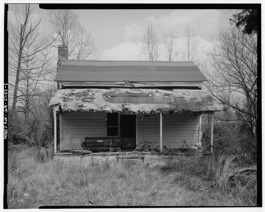
Every property in this county listed on the National Register of Historic Places, with the year it was listed and the federal nomination document.
| Photograph | Property | Type | Listed | Reference |
|---|---|---|---|---|
| Camp Juliette Low | district | 1987 | 87001431 | |
 | Chattooga County Courthouse | building | 1980 | 80000988 |
| Paradise Gardens | district | 2012 | 12000166 | |
 | Penn Place | district | 1988 | 88001828 |
| Riegel Hospital | building | 2002 | 02000079 | |
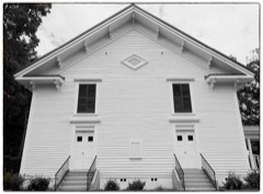 | Sardis Baptist Church | building | 1997 | 97000862 |
| Summerville Commercial Historic District | district | 2012 | 12000280 | |
 | Summerville Depot | building | 1992 | 91002037 |
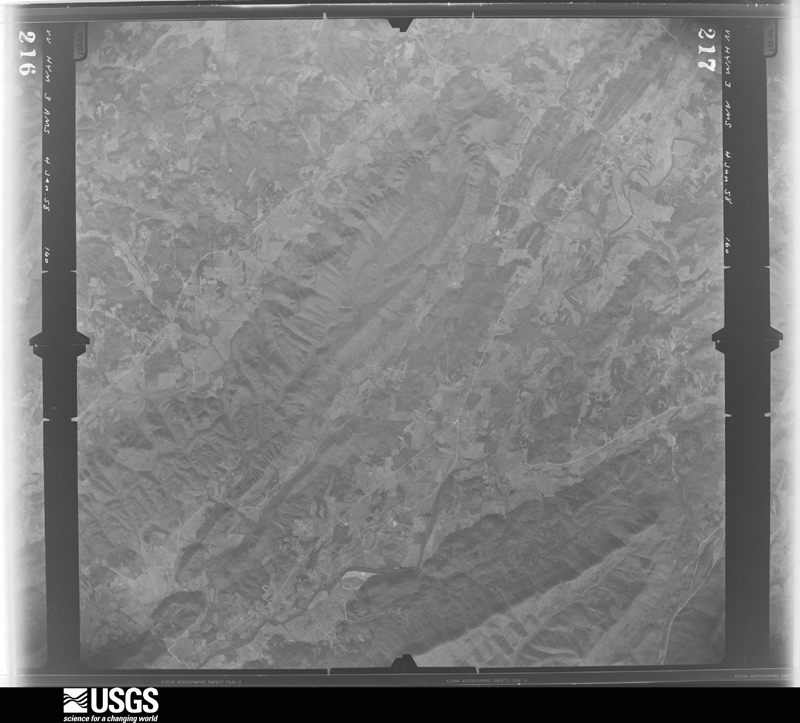
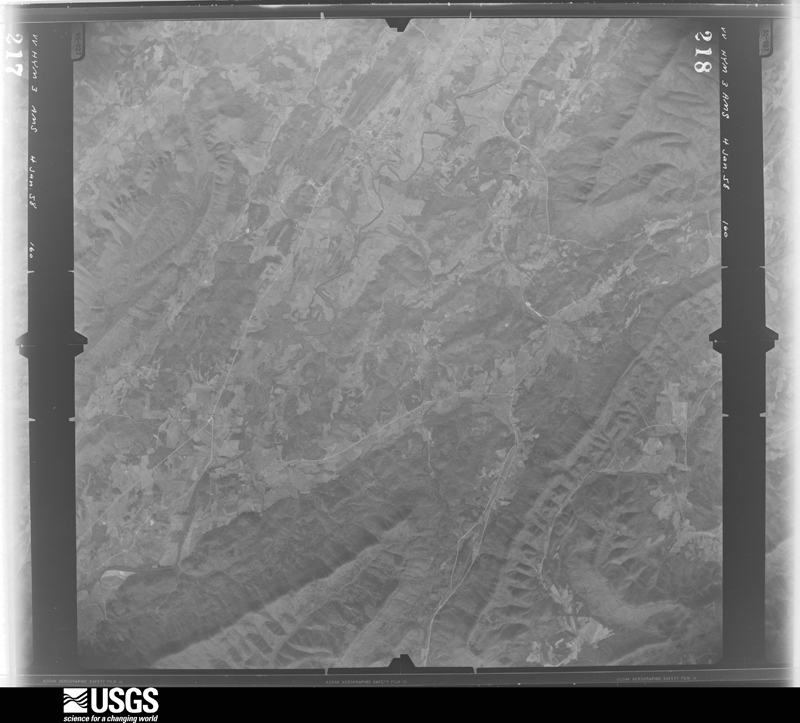
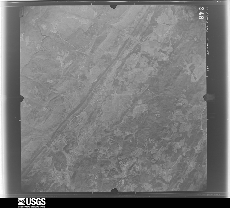
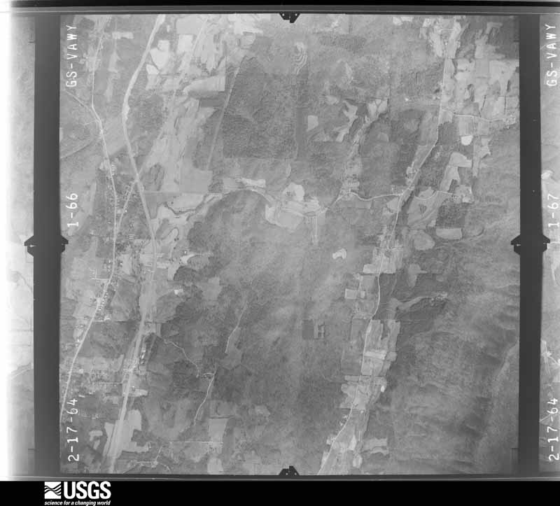
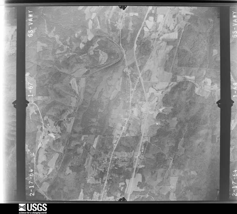
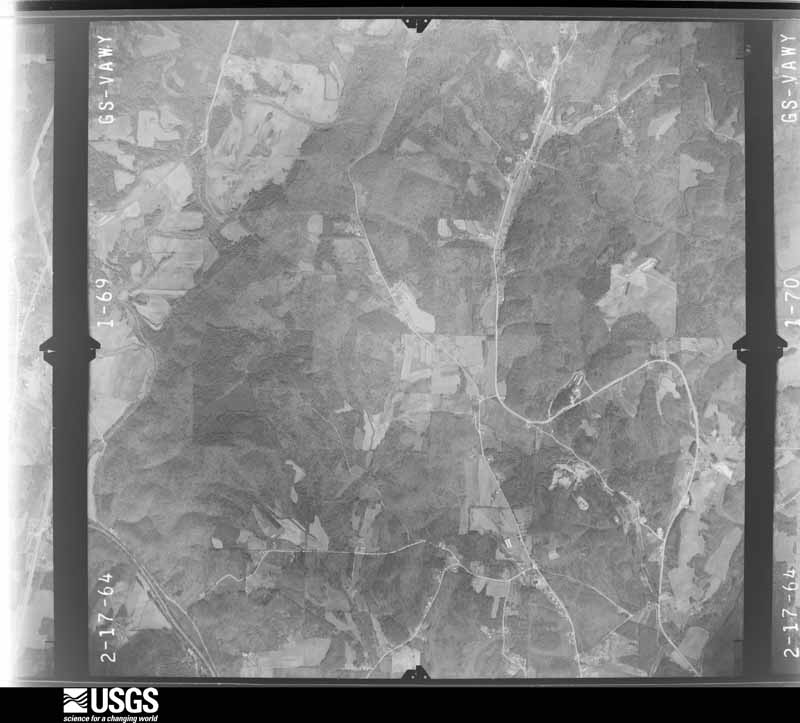
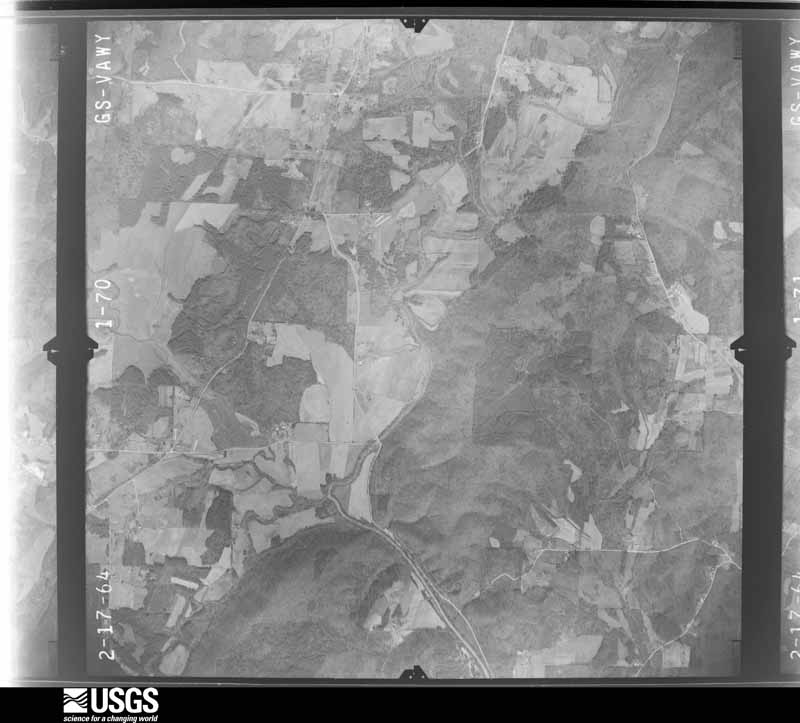
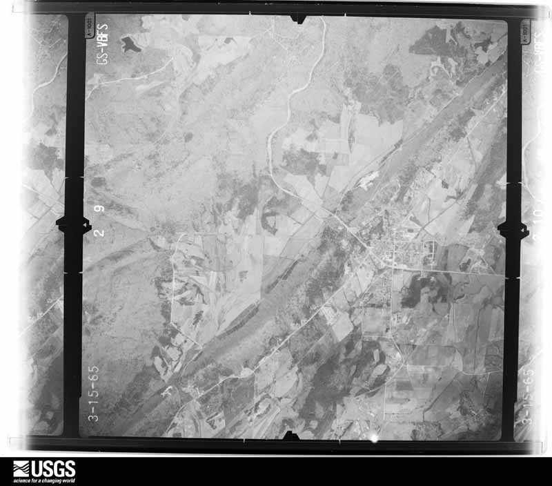
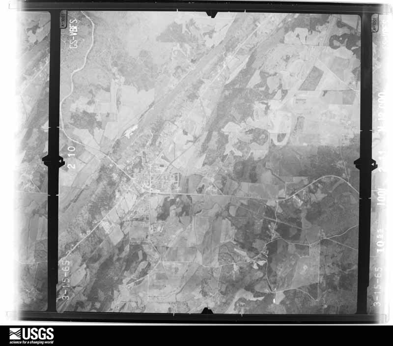
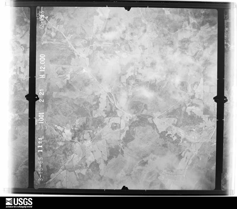
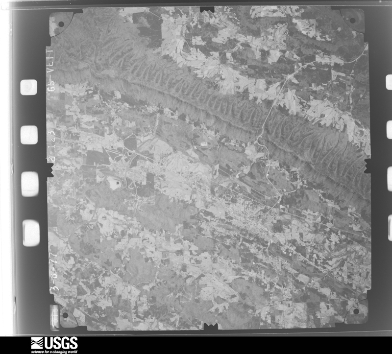
Flown by the U.S. Geological Survey between 1937 and 1989, the Aerial Photo Single Frames collection is the definitive mid-century view of the land: fields, roads and rivers as the camera saw them. The Survey holds 478 frames inside the rectangle that bounds this county; the 22 frames below were taken over the county itself, chosen across the decades of flights (at most four a year from that rectangle), so one flight cannot crowd out the rest. The full set is free to browse and download at EarthExplorer under the dataset Aerial Photo Single Frames.











The thermometers that kept this county's weather, and the gages that measured the flow of its streams, as the federal records hold them. The extremes below are measured values from those records, not estimates.
Who lived here in 1950, one enumeration district at a time, as the Census Bureau described each district. Each row opens its official National Archives result, with Population Schedules and ED Maps available there.
Every wildfire the federal occurrence database records inside this county: 1,961 of them, burning about 11,479 acres. 29 started naturally and 958 were recorded as arson. Each settlement page carries the fires within five miles of it.
| Reported cause | Fires |
|---|---|
| Arson/incendiarism | 958 |
| Debris and open burning | 777 |
| Missing data/not specified/undetermined | 70 |
| Equipment and vehicle use | 63 |
| Recreation and ceremony | 30 |
| Natural | 29 |
| Misuse of fire by a minor | 27 |
| Smoking | 6 |
| Power generation/transmission/distribution | 1 |
The five largest, by the area the report gives. 6 of them were set deliberately.
| Date | Cause | Size | Reported by | Name on the report |
|---|---|---|---|---|
| 21 April 2007 | Arson/incendiarism | 194 acres | Georgia Forestry Commission | SOUTH BROW FIRE |
| 18 February 2011 | Arson/incendiarism | 161 acres | Georgia Forestry Commission | FY2011-CHATTOOGA-040 |
| 7 February 1993 | Arson/incendiarism | 158 acres | Georgia Forestry Commission | not named |
| 16 March 1994 | Arson/incendiarism | 137 acres | Georgia Forestry Commission | not named |
| 7 February 2001 | Arson/incendiarism | 126 acres | Georgia Forestry Commission | FY2001-CHATTOOGA-062 |
| 23 March 2007 | Recreation and ceremony | 117 acres | Chattahoochee-Oconee National Forest | FORESTRY TRAIL |
| 4 March 1998 | Debris and open burning | 102 acres | Georgia Forestry Commission | not named |
| 14 March 2000 | Arson/incendiarism | 100 acres | Georgia Forestry Commission | FY2000-CHATTOOGA-090 |
Every settlement page carries the fires within five miles of it - see the settlement index below.
The NOAA Storm Events Database holds 333 reports for this county, causing 1 death, 4 injuries and about $19,274,250 in recorded property damage. Each settlement page carries the reports that name it.
| Kind of event | Reports |
|---|---|
| Thunderstorm Wind | 200 |
| Hail | 65 |
| Flash Flood | 47 |
| Tornado | 7 |
| Flood | 6 |
| Lightning | 4 |
| Heavy Rain | 2 |
| Winter Storm | 2 |
The most serious of them, by death, then injury, then recorded damage. The accounts are quoted exactly as the forecast office filed them.
| When | Event | Place named | Harm | What the report says |
|---|---|---|---|---|
| September 2009 | Flood | Cloudland | 1 killed, $740,000 | The Chattooga County Emergency Management Director reported that significant flooding continued across the county in the wake of earlier flash flooding. The final flood victim of the September 20th and 21st record flood event was claimed in Chattooga county as a 14-year old boy attempted to rescue an individual from a vehicle caught in flood waters of the Chattooga River near Trion. The boy drowned in the flood waters during this attempt. The Chattooga River near Summerville rose above its flood stage of 14 feet at 904 am EDT and remained in flood for several hours throughout the day. Several roads across the county were under water as a result of flooded streams and creeks. Monetary damage to roads and property during this time period was estimated to be nearly $750,000. |
| August 2013 | Lightning | Summerville | 2 hurt, $5,000 | Broadcast media relayed reports of two people injured by lightning in Summerville. Wiring in the apartment complex that was struck was damaged. |
| March 1973 | Tornado (F2) | not stated | 1 hurt, $2,500,000 | no account filed |
| April 2014 | Thunderstorm Wind | Summerville | 1 hurt, $40,000 | The Chattooga County 911 Center reported that several trees were snapped or uprooted in an area from Cloudland to Trion to Summerville. A large tree fell on a house off Butler Dairy Road. The tree penetrated the roof and ceiling which caused injury to the homeowner. |
| September 2009 | Flood | Beatum | $7,440,000 | The Chattooga County Emergency Management Director reported that significant and extensive flooding continued across much of the county. The Chattooga River breached the levees and flooded parts of the city of Trion. Dozens of homes and business were flooded and sustained significant damage, especially in the city of Trion. A number of roads were also flooded, impassable, and closed. Additional monetary damage nearing $7.5 million was incurred during this time frame. |
| September 2009 | Flood | Beatum | $3,720,000 | Chattooga county emergency management personnel and USGS stream gages confirmed that major to record flooding continued across much of the county. Many homes, apartments, businesses, and roads sustained damage from flooding. Several roads were closed. Monetary damage from flooding continued to mount, with damages exceeding $3.7 million during this time frame, nearly all of which occurred prior to 845 am EDT on the 22nd. Flood waters began to recede after 845 am EDT on the 22nd, but many locations remained flooded through 845 am EDT on the 23rd. |
| April 2010 | Tornado (EF1) | Cloudland | $1,200,000 | A damage survey conducted by the National Weather Service Forecast Offices in both Huntsville, Alabama and Peachtree City, Georgia confirmed that an EF1 tornado, which initially touched down in eastern DeKalb county Alabama approximately three miles southeast of Valley Head, Alabama, continued into Chattooga county Georgia, crossing into Georgia approximately two miles northwest of Cloudland in northwest Chattooga county. The tornado continued on a nearly 10 mile long path within Chattooga county ending approximately 2.5 miles northwest of Trion in north central Chattooga county. The tornado was rated an EF1 with a maximum path width of 300 yards and maximum wind gusts estimated to be 105 mph. Considerable damage was noted along the tornado path across far northwest and north central Chattooga county. At the touchdown point, at least 15 large trees were down across a one-half mile wide area. As the tornado continued eastward, it crossed Georgia Highway 157 at Gilreath Mill Road. Hunderds of large mature trees were down near the intersection. Just east of this location, the tornado strengthened to its maximum width and intensity. This was determined to be the mid-point of the tornado path, between Georgia Highway 337 and Harrisburg Road. Within this area, eight homes sustained significant damage. Two garages, one carport, and several private storage buildings were destroyed. At a small grass airport strip, one hanger was destroyed, another suffered extensive damage, and two airplanes were flipped over. One of the airplanes was an 800 lb ultralight and the other was a 1500 lb Cessna. Nearby, a home lost its roof, another suffered extensive shingle damage, and another storage building was destroyed. At the location of this destroyed outbuilding, two lawn mowers were moved 90 feet. From this point to the end of the tornado path, hundreds of large, mature oak, pecan, and pine trees were blown down or uprooted. Center Post Road, near the end point of the tornado path, was blocked because of numerous downed trees. Damage to homes, businesses, the airport, and timber land, along with cleanup, was estimated to be $1.2 million. |
| April 2009 | Tornado (EF2) | Fairview | $900,000 | A damage survey conducted by the National Weather Service Forecast Office in Peachtree City, Georgia confirmed that a brief EF2 tornado had touched down approximately one mile southeast of Summerville and tracked less than one mile almost due east. The tornado was determined to have a maximum path width of 200 yards with maximum winds estimated to be 120 mph. Considerable damage was noted in the Summerville area. Over 30 homes were damaged along with 10 businesses. Most of the damage to these structures was determined to be minor. The majority of the damage occurred on Commerce Street. The brick wall of a car care center collapsed, the roof was shifted and lifted from a lumber warehouse, and windows were blown out of a barbecue restaurant. All of these events occurred on Commerce Street. At the intersection of Cleghorn and Scoggin Streets nearby, a single-wide mobile home was completely destroyed. Although the mobile home was anchored, the metal frame was ripped from the foundation and the home was tossed on its side. |
| May 2008 | Hail | Menlo | $400,000 | The Chattooga County Emergency Management Director observed golf ball-sized hail approximately three miles south-southwest of Summerville. The public observed nickel-sized hail in the Menlo area. Radar supported nickel or larger size hail in a large swath across the central and southern parts of the county from Menlo, to the Floyd county line south of James H. Floyd State Park. |
| November 1957 | Tornado (F2) | not stated | $250,000 | no account filed |
| May 2013 | Flash Flood | Duck Creek | $150,000 | Significant flooding occurred northwest through northeast of Trion on Chattooga Creek, Cane Creek, Chappel Creek and Spring Branch which caused minor flooding downstream on the Chattooga River in Summerville. The emergency manager reported up to 20 roads were closed in this area due to overflowing creeks. Six mobile homes were flooded and abandoned. First responders had difficulty in reaching 15 people in the mobile homes for evacuation near U.S. Highway 27 at the intersection of West and East Halls Valley Roads. Some major erosion occurred on portions of the roads. |
| February 2005 | Hail | Trion | $150,000 | Several reports of hail ranging in size from quarters to ping pong balls were received from amateur radio operators in both Trion and Summerville. The public reported quarter-sized hail just east of Lyerly. |
| May 2003 | Thunderstorm Wind | Countywide | $125,000 | The Chattooga county 911 center reported that a number of trees were down across the county. Two structures were also damaged, one a hangar building near Summerville. Wind damage was wide spread across the county. The Summerville News reported that a number of trees and power lines were blown down across the county, including two very large trees which fell across Union Street in Summerville crushing two cars and damaging a third. Also, in Summerville, a large set of aluminum bleachers were lifted off their legs and crumpled up against a power pole and the roof was blown off an auto body shop on Georgia Highway 48. In Menlo, a number of trees were also knocked down. A large oak tree fell on and crushed a truck while another vehicle nearby was also damaged by the uprooted tree. A house behind Mason's Funeral Home was also damaged by a fallen tree. |
| March 2013 | Thunderstorm Wind | Summerville | $120,000 | The Chattooga County 911 Center reported that numerous trees were blown down or snapped, causing several power outages in Summerville. Some of the trees fell on homes. |
| April 2020 | Tornado (EF1) | Fairview | $100,000 | A National Weather Service survey found that EF1 tornado with maximum winds of 95 mph and a maximum path width of 800 yards originated just north of Summerville where several trees were snapped or uprooted around the intersection of Hair Lake Road and Mahan Road. The tornado traveled northeast, continuing to snap or uproot mall to medium-sized trees and a large camper was overturned by the tornado near Orchard Hill Road. Otherwise, structural damage was mainly confined to shingles and siding being pulled off homes. The tornado briefly intensify over Back Penn Road, just west of Highway 27 where a trailer was destroyed and a barn was heavily damaged. Multiple trees around this property were uprooted as well. Mainly pockets of tree damage and minor roof damage was seen as the tornado northeast to just east of Trion where it began to encounter Taylor Ridge and turned more northerly toward the Walker county line along Halls Valley Drive. [04/12/20: Tornado #1, County #1/2, EF-1, Chattooga, 2020:007]. |
| April 2009 | Hail | Chattoogaville | $100,000 | A CoCoRAHS spotter observed 2.0 inch diameter hail near Lyerly. The Chattooga County Emergency Management Director reported golf ball-sized hail in the far southern part of the county around Chattoogaville. This hail occurred from a separate thunderstorm from the one that spawned a tornado just southeast of Summerville and also dropped penny to quarter-sized hail across the northern part of the county. |
| June 2021 | Flash Flood | Gore | $75,000 | The Emergency Manager reported significant flooding in the city of Summerville, with numerous intersections, including Highway 48 and 27, underwater and numerous businesses inundated with water. Radar estimates indicate that 4 to 6 inches occurred in the area, resulting in high flow conditions of Town Branch and flash flooding of the nearby areas. |
| September 2009 | Flash Flood | Cloudland | $60,000 | The Chattooga County Emergency Management Director reported significant flooding across the county. Several roads in the county had water flowing across them as creeks exceeded flood stage in many locations. Some roads had to be closed at creek crossings. The most significant flooding was reported north of Cloudland. Schools were closed in the county for at least two days because of impassable roads. Monetary road damage was estimated to be at least $60,000, mostly a result of erosion. |
| June 2018 | Thunderstorm Wind | East Trion | $50,000 | The Chattooga County Emergency Manager reported numerous (more than 50) trees and power lines blown down across the county with the most damage concentrated between Trion and Summerville. Widespread power outages were reported and several people were trapped in homes where trees had fallen on the structure. No injuries were reported. |
| October 2010 | Thunderstorm Wind | Cloudland | $50,000 | The Chattooga County Emergency Management Director reported widespread damage to trees and power lines across the county. Several buildings sustained roof damage from the winds and/or downed trees. |
| January 2009 | Tornado (EF0) | Rowell Siding | $50,000 | A storm survey conducted by the National Weather Service Forecast Office in Peachtree City, Georgia confirmed that a brief EF0 tornado touched down four miles east-southeast of Chattoogaville and moved north-northeast paralleling Georgia Highway 100 for just a little over a 2-mile long track. Spotty tree damage was observed along Old Holland Road and Georgia Highway 100 along the tornado track. Light to moderate damage was observed to the roofs of three buildings and several outbuildings, some of which may have been a product of straight-line winds. |
| July 2004 | Thunderstorm Wind | Summerville | $50,000 | A law enforcement official with Chattooga county reported that several large oak trees were split in half by thunderstorm winds. The winds also brought down power and phone lines in the area. The Summerville News reported that two homes were damaged when trees fell on them, one on Georgia Avenue and another on Hair Lake Road. |
| July 2001 | Lightning | Summerville | $50,000 | The Summerville News reported that the county 911 center received extensive damage to computer equipment because of a lightning strike, either to the building or the nearby tower. The entire 911 center was briefly shut down when the lightning strike occurred before backup systems could be employed. A majority of the computers, telephone lines, recording equipment, communications equipment, and other pieces of equipment were either totally destroyed or shut down during the event. |
| July 2015 | Thunderstorm Wind | Trion | $40,000 | The Chattooga County Emergency Manager reported 30 to 40 trees blown down across the county, especially from Trion to Subligna. One of the trees landed on a home. |
| May 2002 | Thunderstorm Wind | Trion | $40,000 | The Summerville News reported that several trees and some power lines were down by thunderstorm winds in the Trion and Subligna-Dry Creek communities. Two mobile homes were severely damaged by large trees which fell on them. |
| July 2018 | Thunderstorm Wind | Haywood | $30,000 | The Chattooga County Emergency Manager reported numerous trees and power lines blown down across the county from Trion to Silver Hill, Summerville and Lyerly. |
| April 2019 | Thunderstorm Wind | West Summerville | $25,000 | The Chattooga County 911 center reported several trees and power lines blown down from Summerville to north of Trion. |
| February 2009 | Thunderstorm Wind | Cloudland | $25,000 | The Chattooga County 911 Center reported that a power line was blown down in the northwest part of the county and a tree was blown down onto a house in Summerville. |
| September 2004 | Flash Flood | Countywide | $25,000 | The Summerville News reported that several county roads were submerged by flood waters. Water nearly a foot deep was reported on Reynolds Drive and several yards had up to a foot of water in them. Significant flooding was also reported along the Chattooga River and adjacent areas were flooded. |
| May 2003 | Lightning | Teloga | $25,000 | The Summerville News reported that lightning struck the Teloga Baptist Church and set the foyer on fire. The church suffered moderate damage as a result. |
| June 2002 | Thunderstorm Wind | Summerville | $25,000 | The Summerville News reported that strong thunderstorm winds blew trees over onto several homes and across roads and also blew down the cook shed at the Chattooga County Memorial Home. |
| March 2021 | Flash Flood | Welcome Hill | $20,000 | The Emergency Manager reported Tate Road washed out due to high flow on the Chattooga River. Radar estimates indicate that rainfall in the area ranged between 4 and 6 inches, resulting in the flash flooding. |
| March 2021 | Flash Flood | Neal Crossing | $20,000 | The Emergency Manager reported Neal Gap Road was washed out from high flow conditions on Teloga Creek. Radar estimates indicate that 4 to 6 inches of rain occurred over the area, resulting in the flash flooding. |
| August 2020 | Thunderstorm Wind | Alpine | $20,000 | The Chattooga County Emergency Manager reported trees and power lines blown down across the county from just south of Menlo near the intersection of Highway 337 and Oak Hill Road to the west side of Trion on Tate Road, India Drive and Back Penn Road. A home on India Drive had minor damage to its roof. |
| September 2019 | Thunderstorm Wind | Berryton | $20,000 | The Chattooga County Emergency Manager reported numerous trees and power lines blown down from Summerville to Trion. |
| June 2017 | Thunderstorm Wind | Mineral Springs | $20,000 | The Chattooga County Emergency Manager reported numerous trees blown down across the county from near Menlo to northwest or Trion. Locations include Along Highway 48 near Ridge Street and Highway 157, and along Highway 337 near Trion Taloga Road and Highway 117. Trees fell onto a car on Highway 337 north of Highway 117. No injuries were reported. |
| April 2011 | Thunderstorm Wind | Cloudland | $20,000 | The Chattooga County 911 Center reported that at least a dozen trees were down across the county. The public reported that a tree was down on a vehicle in Cloudland. Power outages were noted in the Trion area. |
| September 2009 | Flood | Chattoogaville | $20,000 | The Chattooga County Emergency Management Director reported that flooding continued across much of the county. However, additional monetary damage during this time frame was estimated to be near $20,000. |
| July 2000 | Thunderstorm Wind | Countywide | $20,000 | County 911 dispatchers reported to the Rome News Tribune that trees and power lines were down countywide. Consequently, nearly the entire county was reported to have been without power during the height of the evening thunderstorm. |
| July 1997 | Thunderstorm Wind | Menlo | $20,000 | Thunderstorm winds knocked down large trees onto a church and a residence. Power lines were also downed. The time was estimated. |
| June 2019 | Thunderstorm Wind | Summerville | $16,000 | The Chattooga County 911 center reported around 20 trees blown down across Summerville and areas just west of Summerville including a few trees around the intersection Selman Avenue and Maple Drive. |
| June 2018 | Thunderstorm Wind | Menlo | $15,000 | The Chattooga County Emergency Manager reported several trees and power lines blown down between the 4500 and 5500 block of State Hwy 48, east of Menlo. At least one vehicle was hit by falling trees and two others were involved in accidents related to the event. No serious injuries were reported. |
| March 2017 | Thunderstorm Wind | Teloga | $15,000 | The Chattooga County Emergency Manager reported numerous trees and power lines blown down between Teloga and Trion. |
| June 2017 | Flash Flood | Haywood | $15,000 | The Emergency Manager reported that portions of Dry Creek Road near Little Sand Mountain Road and Haywood Valley Road were flooded and washed out. The road was littered with tree limbs, branches and other debris carried by the high water. Portions of the embankment on Haywood Valley Road gave way, forcing the closure of half of the road. Flooding also occurred at a nearby campground, where water was a few feet deep. Radar estimates indicate that 4 to 5 inches of rain fell over the area. |
| November 2002 | Thunderstorm Wind | Summerville | $15,000 | The Summerville News reported that a large tree was blown down onto a camper parked at a residence. The camper suffered major damage as a result. |
| January 1996 | Thunderstorm Wind | Lyerly | $15,000 | no account filed |
| September 2018 | Thunderstorm Wind | Chattoogaville | $12,000 | The Chattooga County Emergency Manager reported 8-10 trees blown down and a few outbuildings damaged west of Lyerly in far western Chattooga County along Oak Hill Road from near the Alabama state line to just past Josh Ward Road. |
| July 2018 | Thunderstorm Wind | Trion | $12,000 | The Chattooga County Emergency Manager reported several trees blown down on the south side of Trion, including one onto a house on Park Avenue. No injuries were reported. |
| June 2015 | Thunderstorm Wind | Lyerly | $12,000 | The Chattooga County Emergency Manager reported that a tree was blown down, falling on a church causing structural damage. |
| May 2025 | Thunderstorm Wind | Trion | $10,000 | Numerous reports of tree damage in and around city of trion. Sunrise circle and sunset lane, tree down with powerlines. Davis rd with multiple trees and powerlines down. 100 block of myers ave with tree down. 700 block of tate rd with tree on powerline. |
| May 2025 | Thunderstorm Wind | Trion | $10,000 | Emergency manager reported a tree down on a home near the intersection of Ridge St and Allgood St. |
| July 2020 | Thunderstorm Wind | Cloudland | $10,000 | The public reported several trees blown down and shingles peeled from a roof along Mississippi and Alabama Avenues. |
| June 2018 | Thunderstorm Wind | Trion | $10,000 | Multiple trees reported down from around Trion to Summerville. |
| March 2017 | Thunderstorm Wind | Summerville | $10,000 | The manager of the Crushed Tomato Restaurant reported a tree blown down onto a car on Montgomery Street in Summerville and the public reported large tree branches blown down as far south as Lyerly. |
| December 2009 | Flash Flood | Cloudland | $10,000 | The Chattooga County 911 Center reported that considerable flash flooding was ongoing across the county, especially the northern portions. Up to 18 roads in the countywere flooded and closed, including Dover Hill and Beavers Road. One home, approximately eight miles southeast of Summerville, had two feet of water in its crawl space. The Chattooga River at Summerville reached its flood stage of 14.0 feet and remained in flood for three hours. |
| June 2017 | Flash Flood | Lyerly | $9,000 | The Emergency Manager reported that Starling Mill Road nearly Lyerly Dam road experienced minor street flooding as a result of heavy rainfall. Multiple driveways were reported to be washed out. Radar estimates for the area indicate 3 to 5 inches of rainfall occurred over the area. |
| June 2018 | Thunderstorm Wind | Taliaferro Creek | $8,000 | EMA reported multiple trees down across southern end of county, along Sling Alley Rd and Wiggins Rd. |
| June 2016 | Thunderstorm Wind | Chelsea | $8,000 | The Chattooga County 911 center reported numerous trees blown down across western Chattooga County in the vicinity of Menlo, Summerville and Lyerly. |
| March 2026 | Thunderstorm Wind | Trion | $7,000 | Numerous reports of trees down just south of Trion. Reports included trees blocking roadways and on powerlines. |
| October 2002 | Thunderstorm Wind | Summerville | $7,000 | The Summerville News reported that thunderstorm winds, combined with very heavy rain, blew down several trees. One of the trees fell on the roof of a florist shop causing significant damage to the roof. Some trees were blown down onto roads as well, causing temporary blockages. |
The Survey's mineral resources record lists 15 workings inside this county. 1 still produces and 14 are closed or unrecorded. Each settlement page carries the workings within five miles of it.
| Commodity | Workings |
|---|---|
| Iron | 6 |
| Aluminum | 4 |
| Kaolin | 1 |
| Stone | 1 |
| Manganese | 1 |
| Stone, Crushed/Broken | 1 |
| Clay | 1 |
The least common of them first, because a county's hundredth gravel pit says nothing its first ten did not.
| Where | Site | Commodity | Status | Recorded |
|---|---|---|---|---|
| Aggregate Quarry | Stone, Crushed/Broken | Past Producer | ||
| Barbour Prospect | Iron, Manganese | Prospect | ||
| Dallas York Tripoli Mine | Stone | Past Producer | ||
| Halloysite Mine | Clay | Past Producer | ||
| Northwest Georgia Bauxite | Kaolin | Producer | 1883 | |
| Justice Deposit | Aluminum, Iron | Prospect | ||
| Shropshtre Deposit 1 | Aluminum | Prospect | ||
| Summerville Bauxite | Aluminum | Past Producer | Weathering Residual | |
| Taylor Mine | Aluminum | Past Producer | ||
| Maddox's Mine Area | Iron | Past Producer | Strataform, Concordant | |
| Maddox's Mine Area-B | Iron | Past Producer | Strataform, Concordant | |
| Menlo Area | Iron | Past Producer | Strataform, Concordant | |
| Neal Mine | Iron | Past Producer | Strataform, Concordant | |
| Dirseller Mt. Area-B | Past Producer | |||
| Dirtseller Mt. Area | Past Producer |
Named settlements recorded in the Geographic Names Information System, each with the topographic sheets covering it. Villages, hamlets and abandoned places alike. Each is shown with the nearest named watercourse or landform and the survey quadrangle it falls on.
Little Sand Mountain census division · 30747 · Near Little Mountain Ridge · Subligna quadrangle
20 sheets, 1886 to 1981
Menlo census division · 30747 · On Chelsea Creek · Dougherty Gap quadrangle
24 sheets, 1886 to 1983
No longer a settlement
Lyerly census division · 30730 · On Hinton Creek · Chattoogaville quadrangle
16 sheets, 1886 to 1981
Menlo census division · 30747 · In Chelsea Gulf · Dougherty Gap quadrangle
24 sheets, 1886 to 1983
Little Sand Mountain census division · 30747 · Summerville quadrangle
16 sheets, 1886 to 1981
No longer a settlement
Menlo census division · 30731 · Near Cedar Point · Dougherty Gap quadrangle
24 sheets, 1886 to 1983
Menlo census division · 30747 · On Teloga Creek · Trion quadrangle
19 sheets, 1886 to 1981
No longer a settlement
Trion census division · 30753 · On Chappel Creek · Trion quadrangle
19 sheets, 1886 to 1981
Menlo census division · 30747 · On Teloga Creek · Trion quadrangle
19 sheets, 1886 to 1981
No longer a settlement
Summerville census division · 30731 · Lyerly quadrangle
17 sheets, 1886 to 1981
No longer a settlement
Little Sand Mountain census division · 30747 · Armuchee quadrangle
16 sheets, 1886 to 1981
Little Sand Mountain census division · 30747 · Near Dirttown Valley · Summerville quadrangle
16 sheets, 1886 to 1981
Little Sand Mountain census division · 30747 · On East Armuchee Creek · Armuchee quadrangle
16 sheets, 1886 to 1981
No longer a settlement
Lyerly census division · 30730 · On Pond Spring Branch · Rock Mountain quadrangle
17 sheets, 1886 to 1981
Little Sand Mountain census division · 30747 · Near Dirttown Valley · Armuchee quadrangle
16 sheets, 1886 to 1981
Lyerly census division · 30730 · On Mosteller Creek · Lyerly quadrangle
17 sheets, 1886 to 1981
Menlo census division · 30731 · Near Lawrence Gulf · Lyerly quadrangle
17 sheets, 1886 to 1981
Menlo census division · 30731 · Near Lawrence Gulf · Lyerly quadrangle
17 sheets, 1886 to 1981
No longer a settlement
Menlo census division · 30747 · On Allgood Branch · Dougherty Gap quadrangle
24 sheets, 1886 to 1983
Little Sand Mountain census division · 30747 · On Moss Creek · Summerville quadrangle
16 sheets, 1886 to 1981
No longer a settlement
Little Sand Mountain census division · 30747 · Summerville quadrangle
16 sheets, 1886 to 1981
Little Sand Mountain census division · 30747 · On Moss Creek · Summerville quadrangle
16 sheets, 1886 to 1981
No longer a settlement
Little Sand Mountain census division · 30747 · On Ruff Creek · Subligna quadrangle
20 sheets, 1886 to 1981
Summerville census division · 30747 · On Lowe Branch · Summerville quadrangle
16 sheets, 1886 to 1981
Lyerly census division · 30730 · On Taliaferro Creek · Lyerly quadrangle
17 sheets, 1886 to 1981
No longer a settlement
Menlo census division · 30747 · On Allgood Branch · Dougherty Gap quadrangle
24 sheets, 1886 to 1983
Little Sand Mountain census division · 30747 · On Storey Mill Creek · Armuchee quadrangle
16 sheets, 1886 to 1981
Trion census division · 30753 · Near Dry Valley · Trion quadrangle
19 sheets, 1886 to 1981
Summerville census division · 30747 · On Town Branch · Summerville quadrangle
16 sheets, 1886 to 1981
Little Sand Mountain census division · 30105 · Armuchee quadrangle
16 sheets, 1886 to 1981
No longer a settlement
The vanished settlements of Chattooga County: the places named above that are no longer on the map.
The complete index, with nothing left out. Each of these is a separate record with its own page: a federal survey report, or the case file that argued a property on to the National Register. Both are public domain and reproduced word for word.
The vanished settlements of Chattooga County, the places these records name that are no longer on the map.