 Block
Cloudland, Georgia
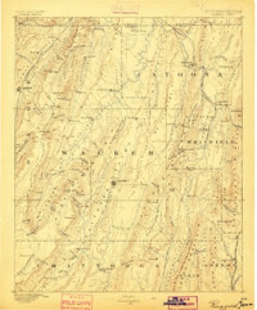
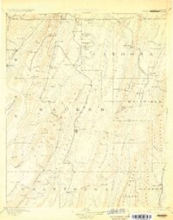
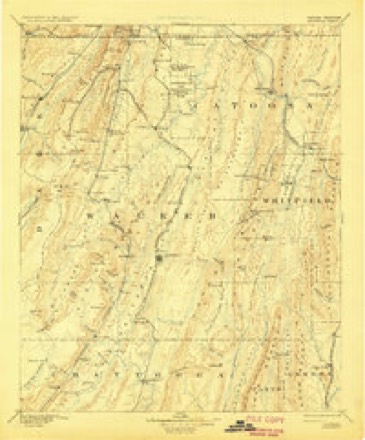
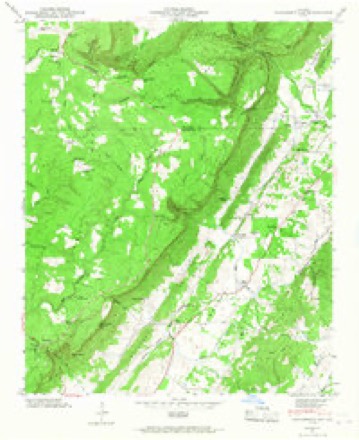
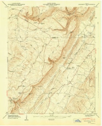
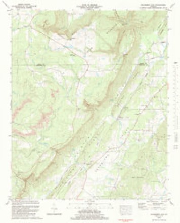
24 topographic sheets cover this place, the earliest surveyed in 1886 and the latest in 1983. It stands in the Menlo census division. It lies in ZIP code area 30731. It lies near Cedar Point. The Survey maps it on the Dougherty Gap quadrangle.
On record in Cloudland
Buildings and businesses the archive holds for this place. Each opens its own page, with the source record it came from.
On the National Register 1 record
- Camp Juliette Lowlisted 1987
Topographic sheets covering this place
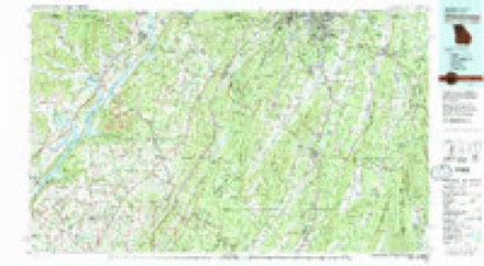
12 surveys from 24 printed sheetsMatched by testing this settlement's coordinate against the published boundary of every sheet in the United States Geological Survey's historical collection. Each opens the scanned sheet at the Survey.
- 1886 USGS Ringgold quadrangle1:125000
- 1892 USGS Catoosa quadrangle1:125000, 2 printings
- 1892 USGS Ringgold quadrangle1:125000, 7 printings
- 1936 USGS Dougherty Gap quadrangle1:24000
- 1946 USGS Dougherty Gap quadrangle1:24000, 2 printings
- 1947 USGS Dougherty Gap quadrangle1:24000, 2 printings
- 1955 USGS Rome quadrangle1:250000
- 1958 USGS Rome quadrangle1:250000, 3 printings
- 1961 USGS Rome quadrangle1:250000
- 1963 USGS Rome quadrangle1:250000
- 1981 USGS Chickamauga quadrangle1:100000, 2 printings
- 1983 USGS Dougherty Gap quadrangle1:24000





Fires near this place
554 since 1992Regional context, not property-specific evidence. The federal wildfire occurrence database lists 554 fires within 5 miles of Cloudland between 1992 and 2019, burning about 6,311 acres in total. 3 started naturally. 370 were recorded as arson. Distance is straight-line from the map coordinates, so a fire counted here may appear on a neighbouring settlement's page as well.
| Reported cause | Fires |
|---|---|
| Arson/incendiarism | 370 |
| Debris and open burning | 128 |
| Missing data/not specified/undetermined | 39 |
| Equipment and vehicle use | 6 |
| Recreation and ceremony | 4 |
| Natural | 3 |
| Misuse of fire by a minor | 2 |
| Railroad operations and maintenance | 1 |
| Smoking | 1 |
The most recent of them, most recent first, with the day each was reported and the service that recorded it.
| Date | Cause | Size | Reported by | Name on the report |
|---|---|---|---|---|
| 9 September 2016 | Debris and open burning | 2.3 acres | Georgia Forestry Commission | FY2017-CHATTOOGA-011 |
| 9 September 1997 | Debris and open burning | under an acre | Georgia Forestry Commission | not named |
| 8 September 2019 | Debris and open burning | under an acre | Georgia Forestry Commission | FY2020CHATTOOGA005 |
| 6 September 2002 | Missing data/not specified/undetermined | under an acre | Georgia Forestry Commission | FY2003-CHATTOOGA-018 |
| 5 September 1998 | Debris and open burning | 2.0 acres | Georgia Forestry Commission | not named |
| 30 September 1993 | Debris and open burning | 5.5 acres | Georgia Forestry Commission | not named |
| 29 September 2007 | Debris and open burning | under an acre | Georgia Forestry Commission | not named |
| 23 September 2015 | Missing data/not specified/undetermined | under an acre | Alabama Forestry Commission | NER-20150923-002 |
Settlements close enough to share some of these fires:
Storms near this place
22 since 2001Regional context, not property-specific evidence. The National Weather Service names Cloudland in 22 storm reports between 2001 and 2026: 16 thunderstorm wind, 2 hail, 2 flash flood, 1 flood. The reports record 1 death. Each account below is quoted exactly as the forecast office filed it, from the NOAA Storm Events Database, and each date opens the federal record of that event.
| When | Event | Place named | Harm | What the report says |
|---|---|---|---|---|
| September 2009 | Flood | Cloudland | 1 killed, $740,000 | The Chattooga County Emergency Management Director reported that significant flooding continued across the county in the wake of earlier flash flooding. The final flood victim of the September 20th and 21st record flood event was claimed in Chattooga county as a 14-year old boy attempted to rescue an individual from a vehicle caught in flood waters of the Chattooga River near Trion. The boy drowned in the flood waters during this attempt. The Chattooga River near Summerville rose above its flood stage of 14 feet at 904 am EDT and remained in flood for several hours throughout the day. Several roads across the county were under water as a result of flooded streams and creeks. Monetary damage to roads and property during this time period was estimated to be nearly $750,000. |
| April 2010 | Tornado (EF1) | Cloudland | $1,200,000 | A damage survey conducted by the National Weather Service Forecast Offices in both Huntsville, Alabama and Peachtree City, Georgia confirmed that an EF1 tornado, which initially touched down in eastern DeKalb county Alabama approximately three miles southeast of Valley Head, Alabama, continued into Chattooga county Georgia, crossing into Georgia approximately two miles northwest of Cloudland in northwest Chattooga county. The tornado continued on a nearly 10 mile long path within Chattooga county ending approximately 2.5 miles northwest of Trion in north central Chattooga county. The tornado was rated an EF1 with a maximum path width of 300 yards and maximum wind gusts estimated to be 105 mph. Considerable damage was noted along the tornado path across far northwest and north central Chattooga county. At the touchdown point, at least 15 large trees were down across a one-half mile wide area. As the tornado continued eastward, it crossed Georgia Highway 157 at Gilreath Mill Road. Hunderds of large mature trees were down near the intersection. Just east of this location, the tornado strengthened to its maximum width and intensity. This was determined to be the mid-point of the tornado path, between Georgia Highway 337 and Harrisburg Road. Within this area, eight homes sustained significant damage. Two garages, one carport, and several private storage buildings were destroyed. At a small grass airport strip, one hanger was destroyed, another suffered extensive damage, and two airplanes were flipped over. One of the airplanes was an 800 lb ultralight and the other was a 1500 lb Cessna. Nearby, a home lost its roof, another suffered extensive shingle damage, and another storage building was destroyed. At the location of this destroyed outbuilding, two lawn mowers were moved 90 feet. From this point to the end of the tornado path, hundreds of large, mature oak, pecan, and pine trees were blown down or uprooted. Center Post Road, near the end point of the tornado path, was blocked because of numerous downed trees. Damage to homes, businesses, the airport, and timber land, along with cleanup, was estimated to be $1.2 million. |
| September 2009 | Flash Flood | Cloudland | $60,000 | The Chattooga County Emergency Management Director reported significant flooding across the county. Several roads in the county had water flowing across them as creeks exceeded flood stage in many locations. Some roads had to be closed at creek crossings. The most significant flooding was reported north of Cloudland. Schools were closed in the county for at least two days because of impassable roads. Monetary road damage was estimated to be at least $60,000, mostly a result of erosion. |
| October 2010 | Thunderstorm Wind | Cloudland | $50,000 | The Chattooga County Emergency Management Director reported widespread damage to trees and power lines across the county. Several buildings sustained roof damage from the winds and/or downed trees. |
| February 2009 | Thunderstorm Wind | Cloudland | $25,000 | The Chattooga County 911 Center reported that a power line was blown down in the northwest part of the county and a tree was blown down onto a house in Summerville. |
| April 2011 | Thunderstorm Wind | Cloudland | $20,000 | The Chattooga County 911 Center reported that at least a dozen trees were down across the county. The public reported that a tree was down on a vehicle in Cloudland. Power outages were noted in the Trion area. |
| July 2020 | Thunderstorm Wind | Cloudland | $10,000 | The public reported several trees blown down and shingles peeled from a roof along Mississippi and Alabama Avenues. |
| December 2009 | Flash Flood | Cloudland | $10,000 | The Chattooga County 911 Center reported that considerable flash flooding was ongoing across the county, especially the northern portions. Up to 18 roads in the countywere flooded and closed, including Dover Hill and Beavers Road. One home, approximately eight miles southeast of Summerville, had two feet of water in its crawl space. The Chattooga River at Summerville reached its flood stage of 14.0 feet and remained in flood for three hours. |
| June 2007 | Thunderstorm Wind | Cloudland | $5,000 | The Chattooga County 911 Center reported that a number of trees were down all across the county, but especially in the Cloudland area in the extreme northwestern part of the county. |
| September 2017 | Thunderstorm Wind | Cloudland | $4,000 | The Chattooga County Emergency Manager reported a few trees and power lines blown down from highway 48 near Cloudland to Highway 27 north of Summerville. |
| July 2008 | Thunderstorm Wind | Cloudland | $3,000 | A storm spotter measured a wind gust of 63 mph in Summerville. The Chattooga County 911 Center reported that up to 15 trees were down across the county. Radar data supports that most of this occurred south of a line from Cloudland to Tidings. A couple of these may have fallen during the earlier storm. |
| November 2001 | Thunderstorm Wind | Cloudland | $1,500 | A trained storm spotter observed considerable damage to twelve trees along Georgia Highway 157 in extreme northern Chattooga county. About half of the trees were blown down on the highway and the other half had their tops broken out of them. |
| March 2026 | Thunderstorm Wind | Cloudland | $1,000 | The emergency manager relayed a report of a tree down on highway 337 between shinbone ridge road and shinbone valley road. |
| March 2025 | Thunderstorm Wind | Cloudland | $1,000 | Tree down blocking both lanes near the intersection of hwy 48 and juliette gordon low hwy. |
| May 2024 | Thunderstorm Wind | Cloudland | $1,000 | Large tree reported down across the road near the 2500 block of Shinbone Valley Rd damage likely from outflow winds. |
| May 2024 | Thunderstorm Wind | Cloudland | $1,000 | Tree reported down near the intersection of hwy 48 and hwy 157 in Cloudland. |
| April 2011 | Thunderstorm Wind | Cloudland | $1,000 | The Chattooga County 911 Center reported that at least three trees were down across the county, one of which was down on a power line in Trion on 11th Street. |
| April 2007 | Thunderstorm Wind | Cloudland | $1,000 | The Chattooga County 911 Center reported that at least six trees were blown down across the county. |
| May 2012 | Thunderstorm Wind | Cloudland | $750 | Chattooga County Emergency Management and the 911 Center reported that a few trees were downed in the western portion of the county, including on State Line Road, Georgia Highway 337 and Reed Street. |
| March 2023 | Thunderstorm Wind | Cloudland | - | Tree down with powerlines at Atlanta Ave and GA-157. |
| October 2010 | Hail | Cloudland | - | The Emergency Management Director reported quarter-sized hail across the northwest part of the county. |
| April 2009 | Hail | Cloudland | - | The Chattooga County Emergency Management Director reported penny-sized hail in the northwest part of the county. The public observed quarter-sized hail in the northeast part of the county, east of Trion. Radar data suggests that hail of penny or larger sized likely fell across much of northern Chattooga county. |
Nearest settlements
The eight closest, with where each one stands in the county. Distances are straight-line, computed from the Geographic Names Information System coordinates.
| Map | Place | Distance | Sheets |
|---|---|---|---|
| Mineral Springs (historical) | 1.9 miles | 17 | |
| Menlo | 2.4 miles | 17 | |
| Chelsea | 2.9 miles | 24 | |
| Fairview (historical) | 3.7 miles | 17 | |
| Alpine | 4.1 miles | 17 | |
| Broomtown (historical) | 4.4 miles | 24 | |
| Neal Crossing | 4.9 miles | 24 | |
| Teloga | 5.4 miles | 24 |
Provenance
This settlement is recorded in the Geographic Names Information System as feature 312756. The sheet list is computed by point-in-boundary test against the United States Geological Survey's historical topographic inventory. Both are works of the United States government and carry no copyright under 17 U.S.C. 105.
Wildfire. Short, Karen C. 2022. Spatial wildfire occurrence data for the United States, 1992-2020 [FPA_FOD_20221014]. 6th Edition. Fort Collins, CO: Forest Service Research Data Archive. https://doi.org/10.2737/RDS-2013-0009.6 Collected with United States Government funding and usable without additional permissions or fees.
Storms. NOAA National Centers for Environmental Information, Storm Events Database https://www.ncei.noaa.gov/stormevents/ A work of the United States government, no copyright under 17 U.S.C. 105. Narratives are quoted verbatim from the National Weather Service report and are not edited or summarised.