 Block
From the record
4 National Register listings published here.
Sources: the National Register database, National Park Service
23 topographic sheets and 9 fire insurance atlases across 1 place.
4 National Register listings published here.
Sources: the National Register database, National Park Service
Every property in this county listed on the National Register of Historic Places, with the year it was listed and the federal nomination document.
| Photograph | Property | Type | Listed | Reference |
|---|---|---|---|---|
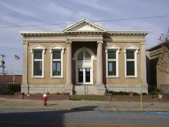 | Cordele Commercial Historic District | district | 1989 | 89000803 |
| Gillespie-Selden Historic District | district | 1998 | 97000336 | |
| O'Neal School Neighborhood Historic District | district | 2004 | 04000339 | |
 | US Post Office-Cordele | building | 1984 | 84000977 |
Sampled issues, machine-read from the Library of Congress scan and published page by page, so every headline and column is searchable text.
Cordele, Georgia, 1920 to 1926. Machine-read from the Library of Congress scan.
Cordele, Ga., 19?? to 1920. Machine-read from the Library of Congress scan.
Cordele, Georgia, 1926 to 1971. Machine-read from the Library of Congress scan.
Cordele, Georgia, 19?? to 1920. Machine-read from the Library of Congress scan.
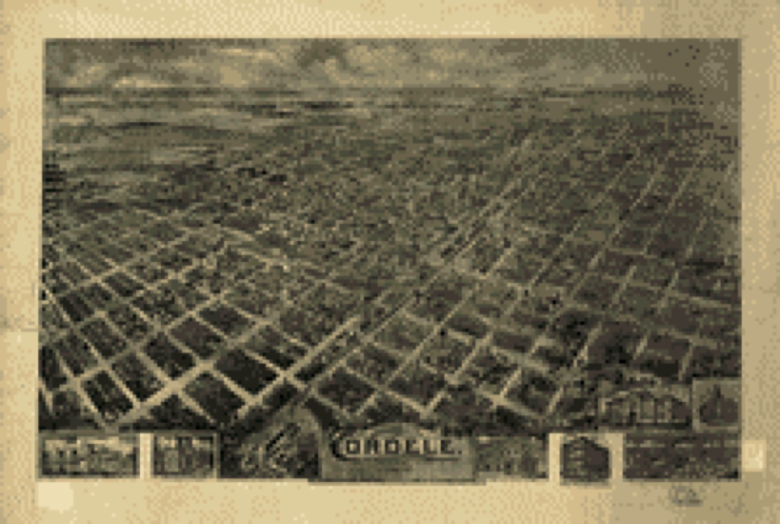
Drawn when these were printed as single large sheets: the town seen from the air, and the county divided into its farms with every owner named. Each opens the original at the Library of Congress.
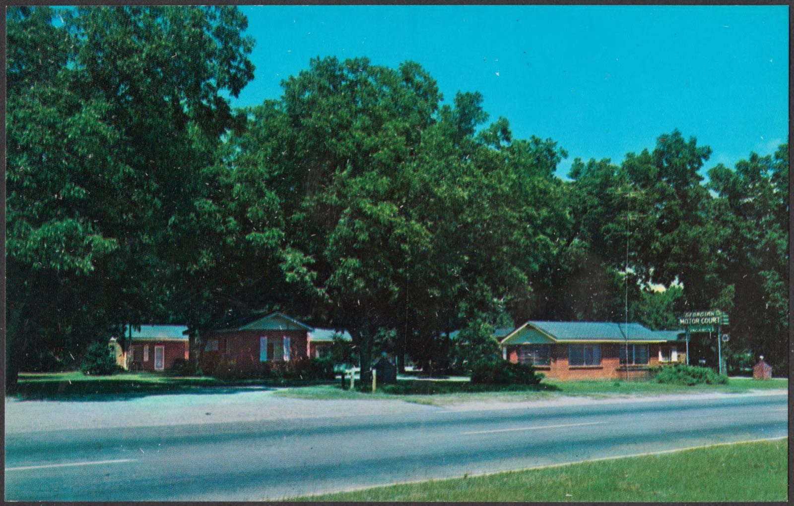
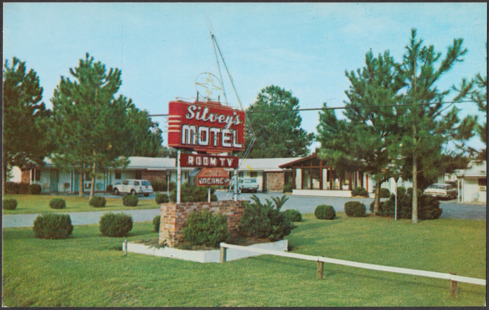
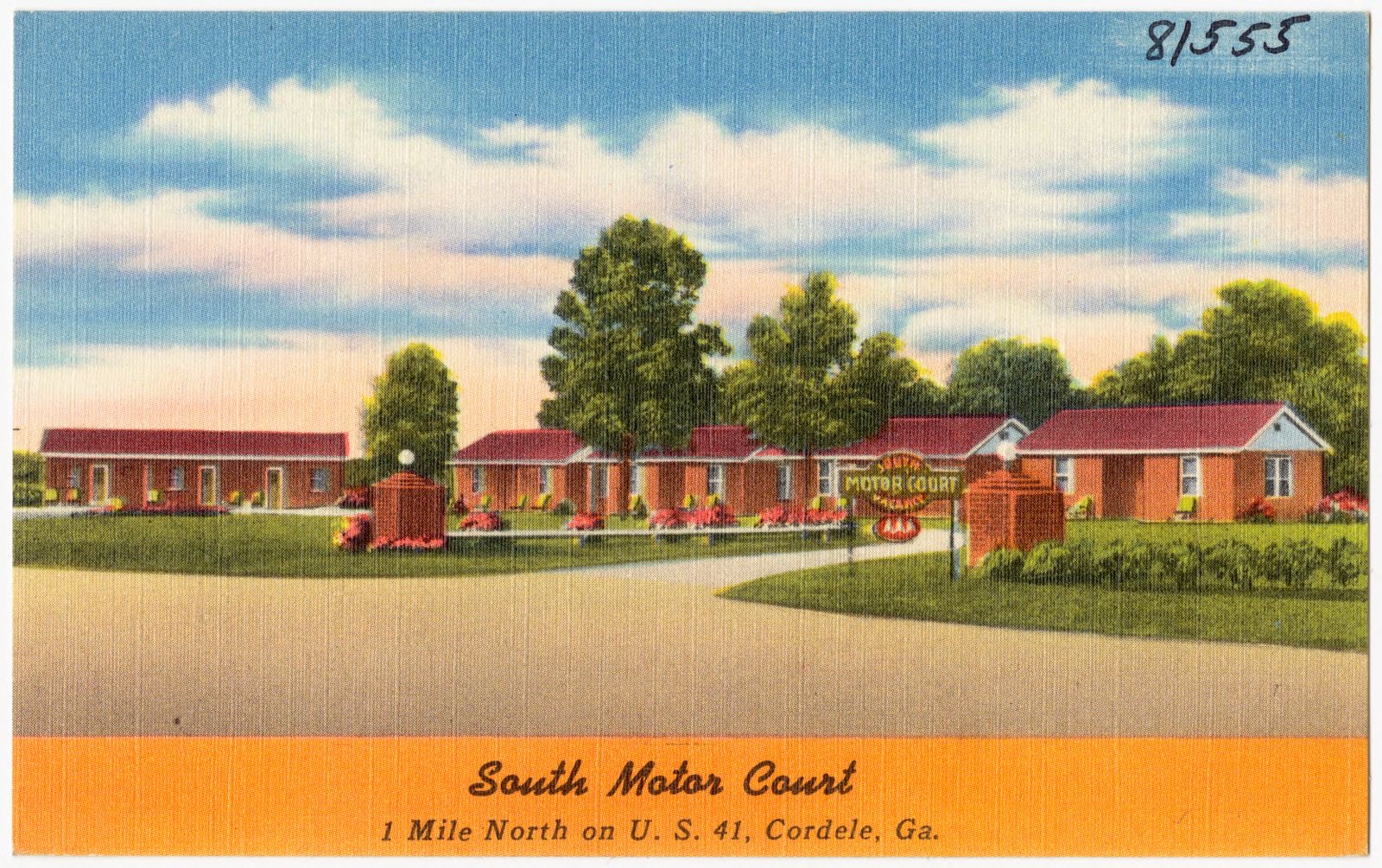
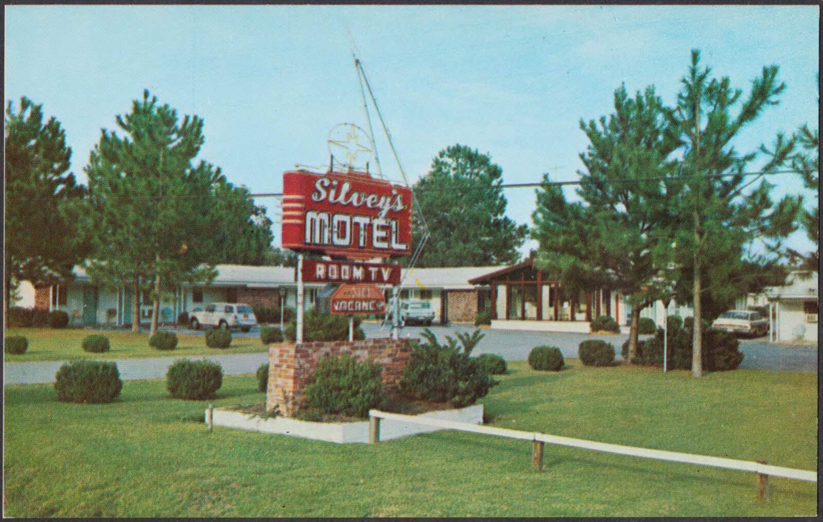
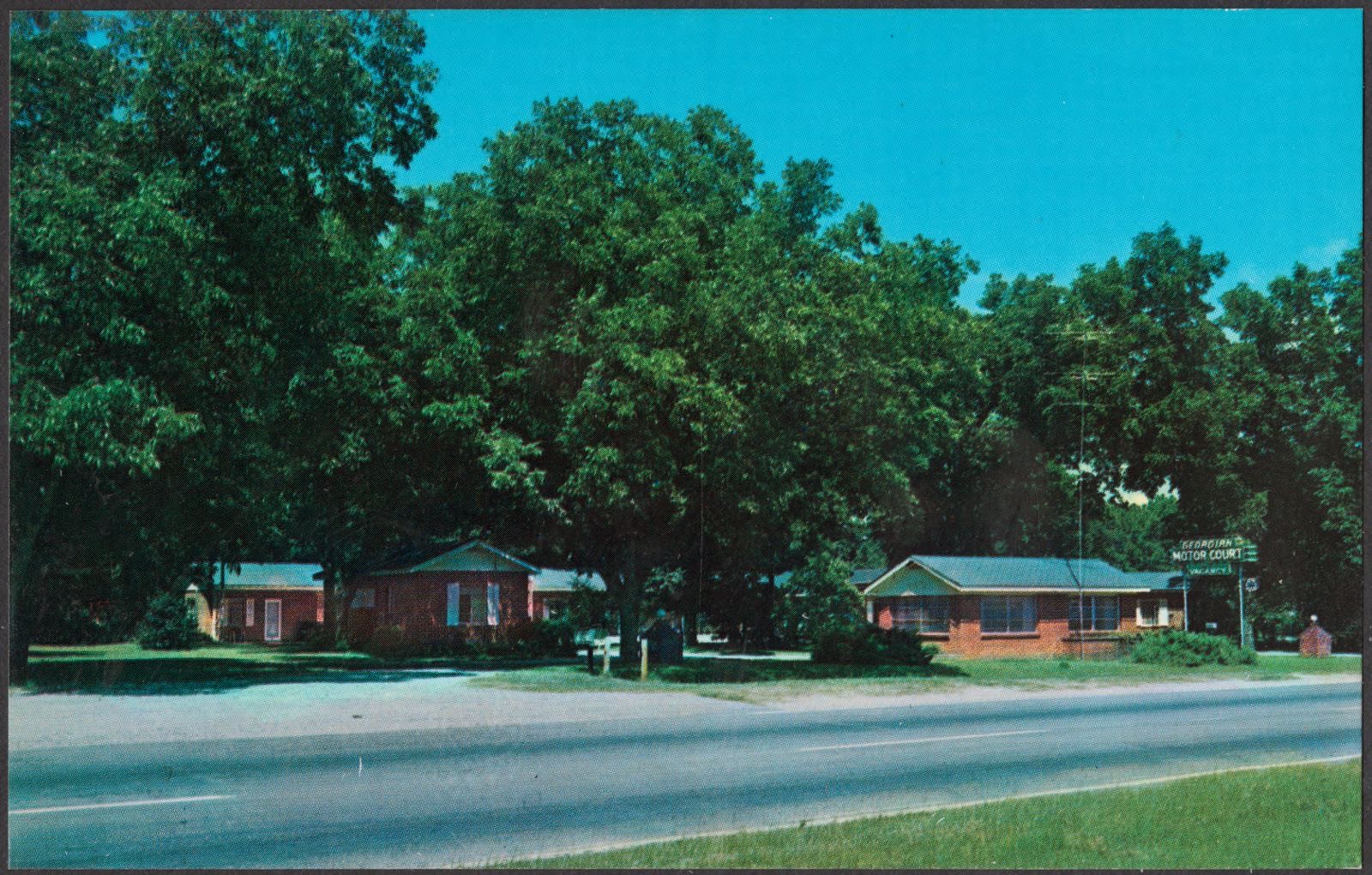
Selected from the Digital Public Library of America's 6 image records catalogued for this county. Every one shown here carries a public-domain status or a licence that permits reuse on a site that carries advertising; non-commercial, share-alike and restricted images are excluded. The selection is spread across the county's towns (at most eight per town), so no single institution's bulk upload crowds out the rest. Each opens the holding library's record, and the complete set at the Digital Public Library of America is one click away.
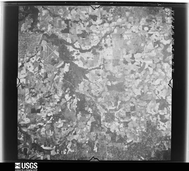
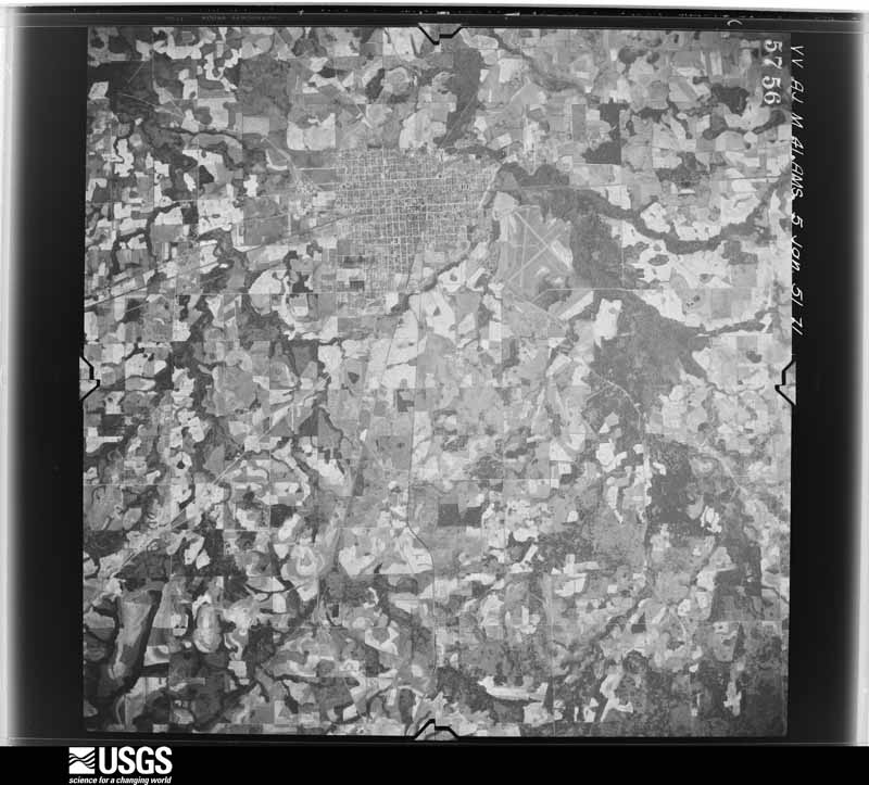
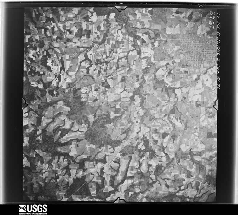
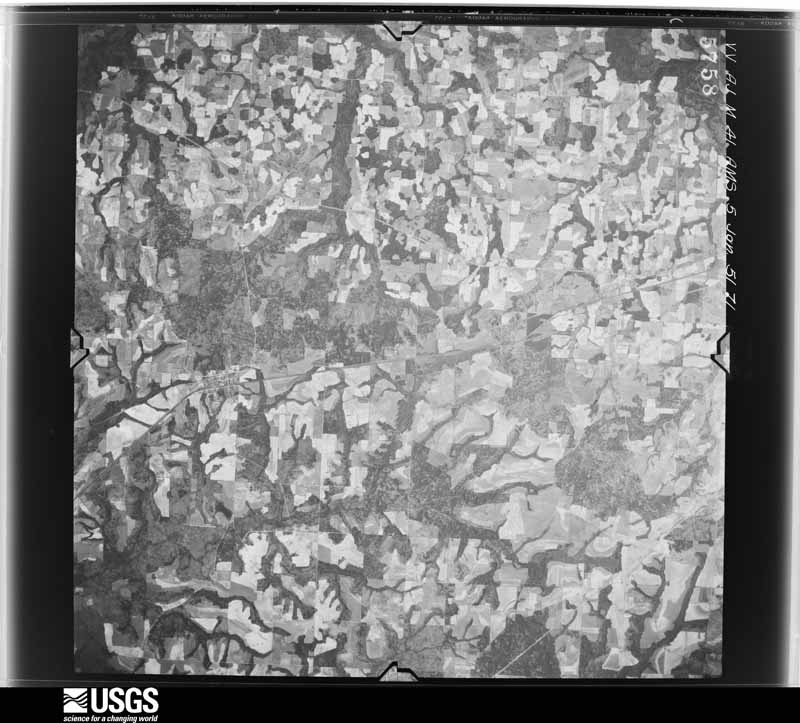
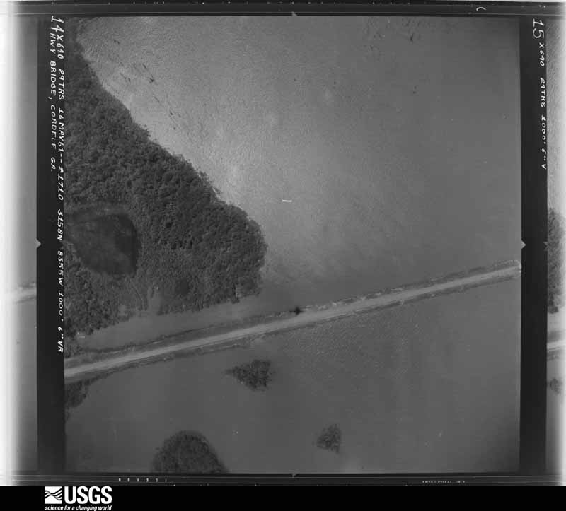
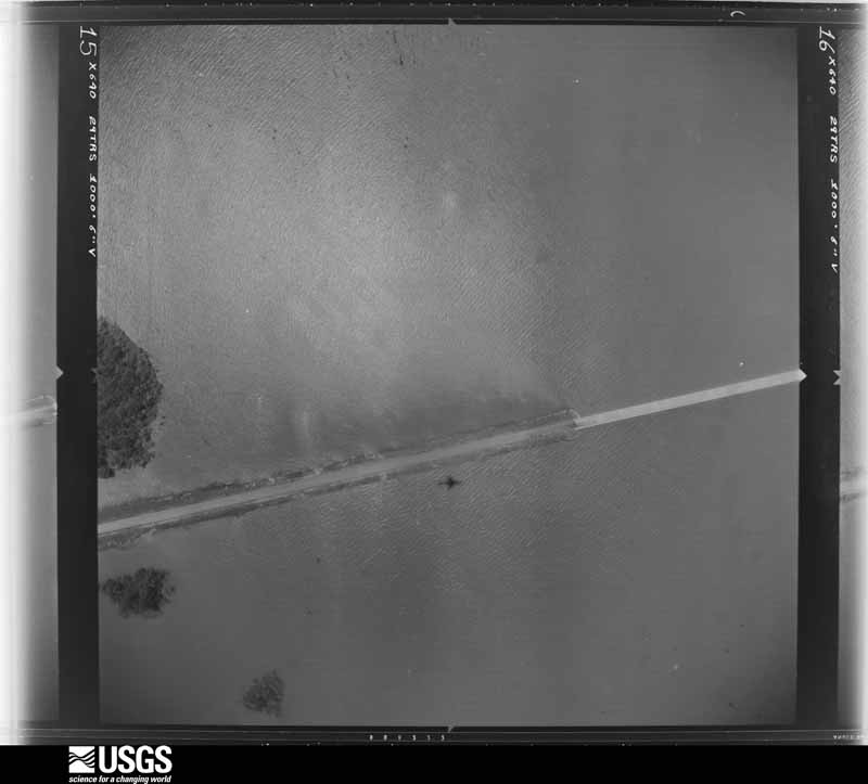
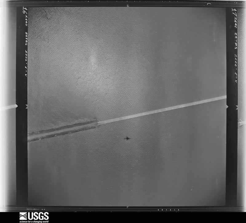
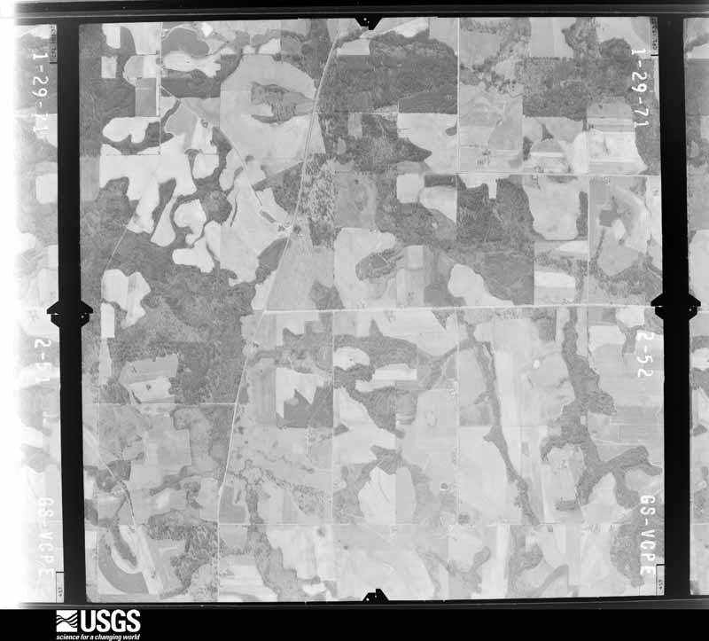
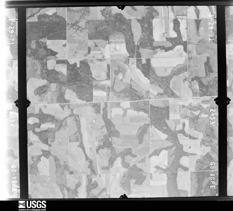
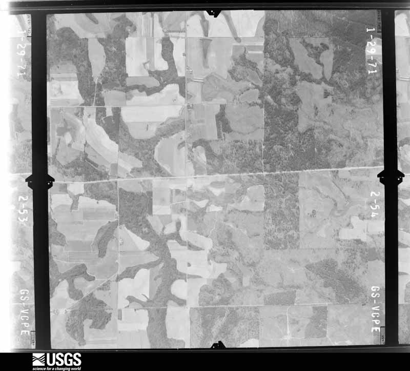
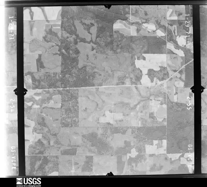
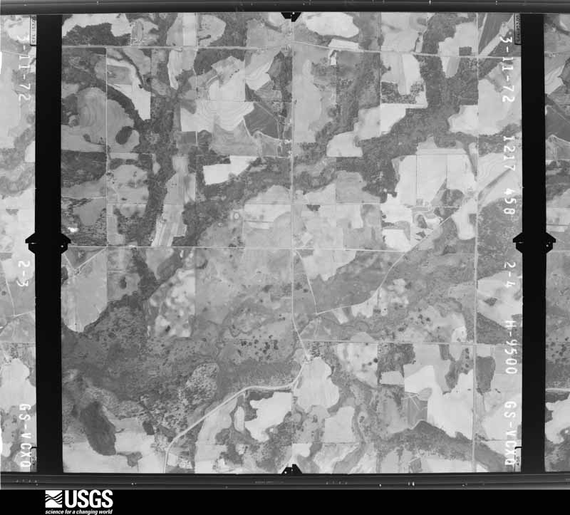
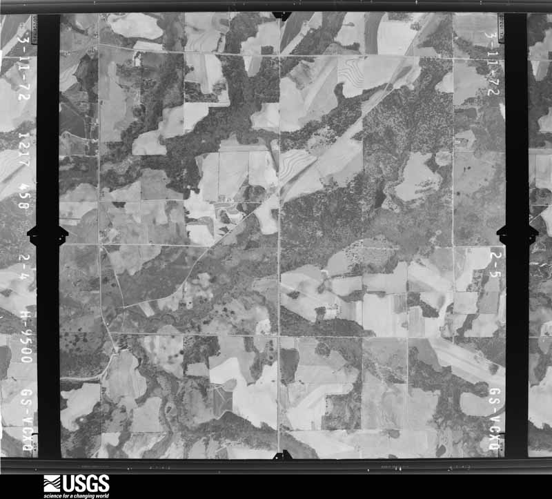
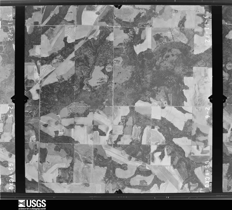
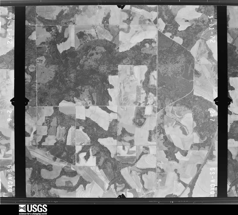
Flown by the U.S. Geological Survey between 1937 and 1989, the Aerial Photo Single Frames collection is the definitive mid-century view of the land: fields, roads and rivers as the camera saw them. The Survey holds 323 frames inside the rectangle that bounds this county; the 15 frames below were taken over the county itself, chosen across the decades of flights (at most four a year from that rectangle), so one flight cannot crowd out the rest. The full set is free to browse and download at EarthExplorer under the dataset Aerial Photo Single Frames.
The thermometers that kept this county's weather, and the gages that measured the flow of its streams, as the federal records hold them. The extremes below are measured values from those records, not estimates.
Who lived here in 1950, one enumeration district at a time, as the Census Bureau described each district. Each row opens its official National Archives result, with Population Schedules and ED Maps available there.
Every wildfire the federal occurrence database records inside this county: 1,148 of them, burning about 3,814 acres. 26 started naturally and 160 were recorded as arson. Each settlement page carries the fires within five miles of it.
| Reported cause | Fires |
|---|---|
| Debris and open burning | 694 |
| Arson/incendiarism | 160 |
| Equipment and vehicle use | 131 |
| Railroad operations and maintenance | 40 |
| Misuse of fire by a minor | 35 |
| Natural | 26 |
| Missing data/not specified/undetermined | 26 |
| Recreation and ceremony | 20 |
| Smoking | 16 |
The five largest, by the area the report gives. None of them was recorded as arson.
| Date | Cause | Size | Reported by | Name on the report |
|---|---|---|---|---|
| 19 March 2011 | Debris and open burning | 121 acres | Georgia Forestry Commission | FY2011-CRISP-046 |
| 4 March 1996 | Debris and open burning | 120 acres | Georgia Forestry Commission | not named |
| 18 March 2011 | Debris and open burning | 83 acres | Georgia Forestry Commission | FY2011-CRISP-041 |
| 24 March 2004 | Debris and open burning | 80 acres | Georgia Forestry Commission | not named |
| 20 June 1992 | Equipment and vehicle use | 74 acres | Georgia Forestry Commission | not named |
| 14 October 2000 | Debris and open burning | 73 acres | Georgia Forestry Commission | FY2001-CRISP-013 |
| 20 February 1993 | Debris and open burning | 68 acres | Georgia Forestry Commission | not named |
| 19 June 1993 | Debris and open burning | 64 acres | Georgia Forestry Commission | not named |
Every settlement page carries the fires within five miles of it - see the settlement index below.
The NOAA Storm Events Database holds 207 reports for this county, causing 1 death, 8 injuries and about $3,921,450 in recorded property damage. Each settlement page carries the reports that name it.
| Kind of event | Reports |
|---|---|
| Thunderstorm Wind | 122 |
| Hail | 43 |
| Flash Flood | 14 |
| Tornado | 11 |
| Flood | 8 |
| Lightning | 4 |
| Funnel Cloud | 3 |
| Heavy Rain | 1 |
| Winter Storm | 1 |
The most serious of them, by death, then injury, then recorded damage. The accounts are quoted exactly as the forecast office filed them.
| When | Event | Place named | Harm | What the report says |
|---|---|---|---|---|
| July 2003 | Thunderstorm Wind | Arabi | 1 killed | The Crisp county Emergency Management Director reported that a worker at an engineering facility was injured when thunderstorm winds blew a heavy metal door onto the person who as a result suffered serious head injuries. The 51-year old male later died as a result of the injury on August 8, 2003. |
| July 1967 | Tornado (F1) | not stated | 3 hurt, $2,500 | no account filed |
| March 2001 | Thunderstorm Wind | Coney | 2 hurt, $250,000 | The Cordele Dispatch reported that trees and power lines were blown down across the county, but especially in the Cordele and Lake Blackshear areas. On Lakeshore Court at Lake Blackshear, a tree fell on a house and caved in the bedroom wall injuring a man and his wife who were sleeping. Three other homes on Lakeshore Court were also damaged when trees fell on them. In addition, a boat house was completely destroyed by the wind and a tree fell on a pickup truck causing considerable damage. At the Falcon Run Golf course, a shed which housed golf carts, was completely destroyed. Several of the golf carts inside were damaged or destroyed as well. In addition, the tops were snapped out of pine trees all across the golf course and several homes around the course were damaged as well. |
| May 2017 | Tornado (EF1) | Arabi | 2 hurt, $100,000 | A National Weather Service survey team found that an EF1 tornado with maximum wind speeds of 110 MPH and a maximum path width of 150 yards began just south of Highway 41 and Landfill Road. The tornado quickly intensified as it moved east-northeast and crossed I-75 where a tractor-trailer was blown over onto a car in the southbound lanes, resulting in two minor injuries. Numerous trees were snapped as it continued east-northeast. The tornado reached its maximum intensity in the 200 block of Allied Road where a house had most of its roof blown off and a mobile home across the street was blown off of its block foundation. The mobile home residents had sought shelter in the home across the street several minutes before the tornado hit and were not injured in spite of the extensive damage. Around the intersection of Arabi Williford Road and Highway 90 another mobile home was blown off of its block foundation, but remained upright. Dozens of trees were snapped or uprooted with one falling on a home causing minor damage before the tornado ended just east of Brock Road where one home had minor roof damage. [05/23/17: Tornado #2, County #1/1, EF-1, Crisp, 2017:073]. |
| June 1988 | Thunderstorm Wind | not stated | 1 hurt | no account filed |
| April 2009 | Flood | Marshall | $1,200,000 | The Crisp County Emergency Management Director reported extensive flooding across Crisp county as a result of rainfall of five inches or more that had fallen on saturated ground from several prior weeks of wet conditions and above normal rainfall. Several roads within the county had to be closed as culverts were washed out and the roads were rendered impassable. Many roads in the Cordele area were inundated with high water during the height of the flooding and had to be closed. In addition, several homes in the Cordele area sustained significant flood damage. |
| April 2009 | Tornado (EF1) | Coney | $500,000 | A damage survey conducted by the National Weather Service Forecast Office in Peachtree City, Georgia confirmed that the third EF1 tornado to touch down in Sumter county the evening of April 10th, continued on a sporadic, but long path, across Crisp and into Wilcox county before lifting. The tornado crossed into Crisp county at Lake Blackshear, just south of the Georgia Veterans State Park. The tornado entered the county as an EF1 with a maximum path width of 200 yards. However, as the tornado crossed the lake into western Crisp county, it weakened to an EF0 with a maximum path width of 100 yards. Maximum winds were estimated at 100 mph as the tornado entered the county, but quickly weakened to 80 mph as it progressed across the lake. The path length within Crisp county was approximately 14 miles. Within Crisp county, 20 homes sustained minor to moderate damage. This damage was primarily the result of large downed trees on the structures. At least two to three dozen trees were down along the path of the tornado within Crisp county. |
| August 2013 | Lightning | Cordele | $200,000 | The Crisp County Emergency Manager reported that a business was struck by lightning and burned for a total loss. |
| March 2011 | Hail | Raines | $175,000 | The public observed quarter to golf ball-sized hail near Georgia Veterans Memorial State Park in the far western part of the county, then quarter-sized hail further east toward Cordele. |
| June 2016 | Thunderstorm Wind | Cordele | $100,000 | The Crisp County Sheriff's Department and the county Emergency Manager reported numerous trees and power lines blown down in the Cordele area. A falling tree destroyed a mobile home near the corner of Crisp Street and Church Street. Power lines were down along Farmers Market Road between Highway 41 and I-75. Numerous trees and power lines were down in the vicinity of the Crisp Regional Hospital with several homes and vehicles damaged or destroyed by falling trees. |
| April 2007 | Tornado (EF1) | Arabi | $80,000 | A damage survey conducted by the National Weather Service in Peachtree City, Georgia confirmed that a tornado, which originated in Worth county (covered by National Weather Service Tallahassee, Florida) tracked into Crisp county. The tornado entered Crisp county approximately 5.5 miles west of Arabi and traveled northeast lifting about three miles northeast of Arabi. The overall path length of the tornado, which inculdes both the Worth and Crisp county portions of the track, was 14 miles, approximately 7.5 miles of which occurred within Crisp county. The maximum path width was 200 yards. Maximum winds within the tornado were estimated at 100 mph. A mobile home was shifted off its foundation near Arabi and the support straps were pulled out of the ground. A number of trees were down in the area, some of which were blocking roads. The tornado tracked across Interstate-75 and a vehicle was tossed into the guard rail near exit 92. |
| March 2005 | Flash Flood | North Portion | $75,000 | The Cordele Dispatch reported that heavy rain, on the order of four to seven inches around the county, resulted in the flooding of several roads, especially in the northern portion of the county. Several roads were closed. Some of the closed roads were severely damaged. |
| August 2000 | Thunderstorm Wind | Countywide | $75,000 | The Crisp county 911 center, and the Cordele Dispatch, reported that extensive thunderstorm wind damage occurred throughout the county. The wind caused damage to commercial and residential structures alike. Much of the damage was reported to homes along U.S. Highway 41 from the Dooly county border south to Cordele. The storm then continued to cause damage as it traveled roughly along Georgia Highway 90 into the southeast part of the county. Numerous trees were damaged or destroyed along the path of the storm. In addition, a trailer was twisted off its foundation near the Dooly county line and the roof was lifted off the Cordele Auto Recycling Center facility. |
| July 2012 | Thunderstorm Wind | Hatley | $65,000 | The Crisp County 911 Center relayed reports of several downed trees and power lines. Two trees fell on a house. |
| April 1997 | Thunderstorm Wind | Cordele | $52,000 | no account filed |
| January 2017 | Thunderstorm Wind | Wenona | $50,000 | The Crisp County Emergency Manager reported numerous trees blown down on the south side of Cordele. Falling trees caused considerable damage to one vehicle and minor damage to two others. One home had moderate damage and another received minor damage. Several barns and storage buildings had roofs blown off. A house on 28th Avenue East was damaged by a falling tree. |
| December 2009 | Flash Flood | Cordele | $50,000 | The Crisp County Emergency Management Director reported flash flooding in the Cedar Lake subdivision. The flooding was a result of overflow from Cedar Lake. Several homes in the subdivision were threatened by flood waters. The water rose up into the crawl spaces of several homes in this neighborhood. Several of the residential streets were flooded and impassable. Monetary damage to roads and property was estimated to be $50,000. |
| December 2009 | Flash Flood | Cordele | $50,000 | The Crisp County Emergency Management Director reported flash flooding in the Cedar Creek Subdivision. Water rose as high as the floor boards of six to seven homes, but did not actually enter the house. However, the crawl spaces of the homes were flooded. Several roads in the area were under water as well. Pateville Road was closed because of flood waters from the northern branch of Swift Creek. The Cedar Creek subdivision is located approximately one mile southwest of the intersection of Interstate-75 and the U.S. Highway 280. Monetary damage to roads and property was estimated to be at least $50,000. |
| April 2008 | Thunderstorm Wind | Cordele | $50,000 | The Crisp County Emergency Management Director reported that numerous trees and several power lines were blown down within the city of Cordele. Roof damage was also reported to several buildings at the Turtons Shopping Center and an adjacent shopping center. The majority of the damage occurred between the intersections of 16th Avenue and 19th Street and between 3rd Street and 17th Avenue, or very near the intersection of Georgia Highway 30 and U.S. Highway 41. |
| May 2006 | Lightning | Cordele | $50,000 | The Cordele Dispatch reported that lightning struck a couple of large pine trees adjacent to a home in the city of Cordele. The lightning traveled through the electrical outlets setting a bedroom of the home on fire. Before the fire could be extinguished, the bedroom was completely destroyed. In a separate incident, lightning also struck an electrical transformer on a power pole and set it on fire. However, this fire was quickly extinguished. |
| June 1994 | Thunderstorm Wind | Cordele | $50,000 | Thunderstorm winds downed numerous trees, power lines and large tree limbs throughout Cordele. Several power outages were reported throughout Cordele and lasted for approximately three hours. Several homes along Tremont Road and in the Omar Heights subdivision sustained minor damage from the high wind and falling tree limbs. Most of the damage was confined to roofs and broken windows. |
| December 2005 | Hail | Coney | $45,000 | A swath of large hail was observed from the west central part of the county to the northeast corner. The public reported baseball-sized hail in Cordele. Fire Station No. 1 reported golf ball-sized hail just northeast of Cordele, while Fire Station No. 4 reported quarter-sized hail in the far western part of the county near Coney. |
| December 2014 | Flash Flood | Cordele | $35,000 | The Crisp County emergency manager reported significant overflowing of ditches and small creeks which were flooding several roads in the Cordele area. A few motorists became stranded in their cars due to the high water. The flood waters surrounded a few homes in the Second Avenue and Third Street section of town. The water level reached the foundations, but did not enter the houses. |
| May 2004 | Thunderstorm Wind | Countywide | $35,000 | The Cordele Dispatch reported that several trees and power lines were blown down around the county. The trees also brought down some power lines. One large Oak tree was blown down onto a mobile home causing extensive damage to the home. An adjacent vehicle was also damaged by the fallen tree. |
| May 2016 | Thunderstorm Wind | Marshall | $25,000 | The Crisp County Emergency Manager reported numerous trees blown down from Cork Ferry Road area on Lake Blackshear to the vicinity of Cemetery Road and Dockweiler Road northeast of Cordele. Some trees fell on homes, however no injuries were reported. |
| March 2011 | Thunderstorm Wind | Arabi | $25,000 | A damage survey conducted by the National Weather Service Forecast Office in Peachtree City, Georgia in conjunction with the Crisp County Emergency Management Office confirmed that straight-line thunderstorm outflow winds up to 75 mph caused considerable damage to a mobile home on Brock Road approximately five miles east of Arabi in the southeast part of the county. A few trees were also down in the area, but no other damage of significance was noted. The thunderstorm outflow winds were from a severe thunderstorm producing quarter to golf ball-sized hail across north central Crisp county near Cordele. |
| May 2009 | Thunderstorm Wind | Wenona | $25,000 | The Crisp County Emergency Management Director reported that three trees were blown down near Cordelle. One fell on a police vehicle while being driven, causing the car to hydroplane. The car was totaled. |
| August 2007 | Lightning | Cordele | $25,000 | The Crisp County Emergency Management Director reported that lightning struck a home starting a fire in the electrical system. The home sustained at least minor damage. |
| July 2007 | Thunderstorm Wind | Cordele | $25,000 | The Crisp County 911 Center reported that a portion of a roof of a tire business was blown off. Part of the roof landed on a nearby power line causing it to come down. In addition, 10 to 15 trees were blown down around the city and a couple of other power lines were also down as a result of downed trees. |
| December 1964 | Tornado (F2) | not stated | $25,000 | no account filed |
| November 1958 | Tornado (F2) | not stated | $25,000 | no account filed |
| January 2017 | Tornado (EF1) | Wenona | $20,000 | A National Weather Service survey team found that an EF1 tornado with maximum wind speeds of 87 MPH and a maximum path width of 300 yards began along Pateville Road and moved north-northeast crossing Georgia-Florida Parkway and then the eastern side of the city of Cordele before crossing I-75 and lifting around Highway 257 and Midway Church Road. Roof damage occurred to several homes along this path as well as numerous downed trees. [01/21/17: Tornado #1, County #1/1, EF1, Crisp, 2017:025]. |
| June 2015 | Thunderstorm Wind | Daphne | $20,000 | The Crisp County 911 Center reported numerous trees and branches blown down from the Valhalla community to Cordele. A large branch fell on a car in Valhalla and trees have fallen on power lines throughout the city of Cordele. |
| May 2006 | Thunderstorm Wind | Countywide | $20,000 | The Crisp County 911 Center reported that thunderstorm winds had blown down many trees throughout the county. One tree was down on a mobile home causing damage to the structure. Wind gusts were measured at 65 mph at the Catahoula Farm in Cordele. About 2500 people in the county were left without power during the height of the storm. |
| April 2005 | Hail | Cordele | $18,000 | A trained spotter reported golf ball-sized hail just each of Cordele, while the public reported nickel-sized hail in Cordele. |
| February 2020 | Flash Flood | Cordele Arpt | $15,000 | The Emergency Manager reported water was impacting residences off East 8th Avenue. Radar estimates indicate that 2 to 3.5 inches of rain fell over the area, falling on already saturated soils, causing flash flooding. |
| February 2020 | Flash Flood | Wenona | $15,000 | The Emergency Manager reported high water from Cedar Creek and a small lake was approaching nearby homes. Radar estimates indicate that 2 to 3.5 inches of rain fell over the area, falling on already saturated soils, causing flash flooding. |
| February 2020 | Flash Flood | Cordele | $15,000 | The Emergency Manager reported rising water was threatening a home near the intersection of Ogburn Road and Stewart Street. Radar estimates indicate that 2 to 3.5 inches of rain fell over the area, falling on already saturated soils, causing flash flooding. |
| October 2019 | Tornado (EF0) | Cordele | $15,000 | A National Weather Service survey determined an EF0 tornado with maximum wind speeds of 75 mph and a maximum path width of 100 yards touched down between Market Avenue and Highway 41, toppling and overturning a shed off of blocks and lifting part of a metal roof off an industrial building. The tornado traveled north across Market Avenue, Seedling Drive and Drayton Lane to Highway 41 north of Steele Road, downing a few trees along the way. The tornado then turned northeast across Highway 41 and then Farmers Market Road downing several more trees before lifting near a pond west of Slim Road and south of Murray Road. [10/19/19: Tornado #1, County #1/1, EF-0, Crisp, 2019:028]. |
| April 2011 | Thunderstorm Wind | Cordele | $15,000 | The Crisp County Emergency Management Director reported that dozens of trees and power lines were down across the county. |
| August 2024 | Thunderstorm Wind | Hatley | $10,000 | Six power poles downed along hatley road in between arabi williford rd and stokes rd. just off of east ga hwy 90. |
| June 2019 | Thunderstorm Wind | Daphne | $10,000 | The Crisp County 911 center reported trees blown down from the Lake Blackshear area along Scenic Route to Cordele. |
| January 2017 | Tornado (EF1) | Bedgood | $10,000 | A National Weather Service survey team found that the large tornado that moved across Dougherty, Turner and Wilcox Counties produced damage, mainly downed trees, in the extreme southeast corner of Crisp County along Deep Creek. The main damage path at this time remained in Turner County but was wide enough to extend into this small portion of Crisp County. [01/22/17: Tornado #2, County #1/2, EF1, Crisp-Wilcox, 2017:026]. |
| February 2016 | Thunderstorm Wind | Wenona | $10,000 | The Crisp County Emergency Manager reported the roof blown off of a pole barn along Highway 33 between Cofer Road and Landfill Road. |
| April 2015 | Thunderstorm Wind | Coney | $10,000 | The Crisp County Emergency Manager reported numerous trees and power lines blown down across the county. At least one tree was on a house. |
| June 2014 | Thunderstorm Wind | Hardin | $10,000 | The Crisp County Emergency Manager reported that 4 to 5 large pecan trees were down along with tipped-over irrigation pivits north of Antioch Road. Other trees and power lines were down nearby. |
| January 2010 | Flash Flood | Cordele | $10,000 | The Crisp County Emergency Management Director reported flash flooding, once again in the Cedar Creek Subdivision of Cordelle. The flooding was largely the result of high water from adjacent Cedar Creek and overflow water from Cedar Creek Lake. This was the same area that experienced flash flooding in December 2009. Water approached the foundations of several homes in the subdivision. The crawl spaces of several homes were flooded as a result causing minor damage to property. |
| August 2010 | Thunderstorm Wind | Arabi | $10,000 | The Crisp County Emergency Management Director reported that a portion of a roof was blown off a home near Arabi and a barn, approximately three miles east of Georgia Veterans Memorial State Park, lost its roof in strong thunderstorm wind gusts. |
| December 2009 | Flood | Daphne | $10,000 | The Crisp County Emergency Management Director reported that 12 to 15 roads across the county were flooded, impassable, and closed. This was down from the 25 roads which were closed earlier in the evening. Water was still overflowing the Cedar Lake dam and threatening several homes in the Cedar Lake Subdivision. Monetary damage from this portion of the flooding was estimated to be $10,000. |
| August 2007 | Thunderstorm Wind | Cordele | $10,000 | The Crisp County Emergency Management Director reported that at least 20 trees were down in the southwest part of the county, just northwest of Marshall along Cork Ferry Road. The Cordele Dispatch reported that several trees were down and a stretch of power line was down from Ferry Landing Road to the area around Lincolm Pinch. At least 300 customers were left without power. Several other trees were down in the north portion of the county, north of Cordele along U.S. Highway 41. |
| June 2003 | Thunderstorm Wind | Coney | $10,000 | A SkyWarn spotter reported that three to four large trees were blown down on North Cedar Creek Road, three telephone poles were snapped in half on Coney Road just south of McKinney Road and a brick sign was blown down. The spotter estimated that wind gusts were between 50 and 70 mph. |
| July 2000 | Thunderstorm Wind | Coney | $10,000 | The Cordele Dispatch reported that a tree was blown down on a house on Lakeshore Drive at Lake Blackshear, causing considerable damage to the roof. In addition, lightning knocked down a tree on Coney road, causing it to block the road. |
| August 1998 | Thunderstorm Wind | Cordele | $10,000 | Crisp county 911 reported a trailer blown over and destroyed. |
| June 1997 | Thunderstorm Wind | Cordele | $10,000 | Thunderstorm winds caused structural damage to at least 5 homes when tree limbs fell on them. Several large trees were also downed on power lines and covering roads. Two hundred people were without power for several hours . |
| July 1995 | Thunderstorm Wind | Cordele | $10,000 | Thunderstorm winds knocked power lines down near Georgia Highway 257. A convenience store roof was also pulled off by the winds. |
| June 2018 | Thunderstorm Wind | Wenona | $8,000 | The Crisp County Emergency Manager reported numerous trees and power lines blown down around the intersection of Highway 300 and Pateville Road. |
| June 2015 | Thunderstorm Wind | Cordele Arpt | $8,000 | The Crisp County Emergency Manager reported several trees and power lines blown down in northern Crisp County. |
| July 2015 | Thunderstorm Wind | Marshall | $8,000 | The Crisp County 911 Center reported trees blown down from around Scenic Route and South Cedar Creek Road to Antioch Road and into Arabi. |
| June 2021 | Thunderstorm Wind | Wenona | $6,000 | The Crisp County Emergency Manager reported trees and power lines blown down from Wenona to Raines. |
| April 2017 | Thunderstorm Wind | Milldale | $6,000 | The Crisp County Emergency Manager reported trees blown down around the intersection of the Highway 300 Connector and Highway 300. |
Named settlements recorded in the Geographic Names Information System, each with the topographic sheets covering it. Villages, hamlets and abandoned places alike. Each is shown with the nearest named watercourse or landform and the survey quadrangle it falls on. The 1 place that was also surveyed for fire insurance comes first, with the number of atlases and photographs held for them.
Cordele census division · 31015 · Cordele quadrangle
8 sheets, 1953 to 1988
Fire insurance: 9 atlases
Cordele census division · 31015 · On North Branch Swift Creek · Pateville quadrangle
7 sheets, 1953 to 1988
Cordele census division · 31015 · On Gum Creek · Cobb quadrangle
8 sheets, 1953 to 1988
No longer a settlement
Cordele census division · 31015 · On Redoak Creek · Penia quadrangle
7 sheets, 1953 to 1988
Cordele census division · 31015 · Cordele quadrangle
8 sheets, 1953 to 1988
No longer a settlement
Cordele census division · 31712 · On North Branch Swift Creek · Pateville quadrangle
7 sheets, 1953 to 1988
Cordele census division · 31015 · Penia quadrangle
7 sheets, 1953 to 1988
No longer a settlement
The vanished settlements of Crisp County: the places named above that are no longer on the map.
8 topographic sheets and 9 fire insurance atlases, 1891 to 1948