 Block
From the record
8 National Register listings published here.
Sources: the National Register database, National Park Service
40 topographic sheets and 9 fire insurance atlases across 1 place.
8 National Register listings published here.
Sources: the National Register database, National Park Service
Taken for the Office of War Information and the Farm Security Administration, who photographed the country between 1935 and 1944. Works of United States government photographers, with no known restriction on use. Each opens its catalogue record.
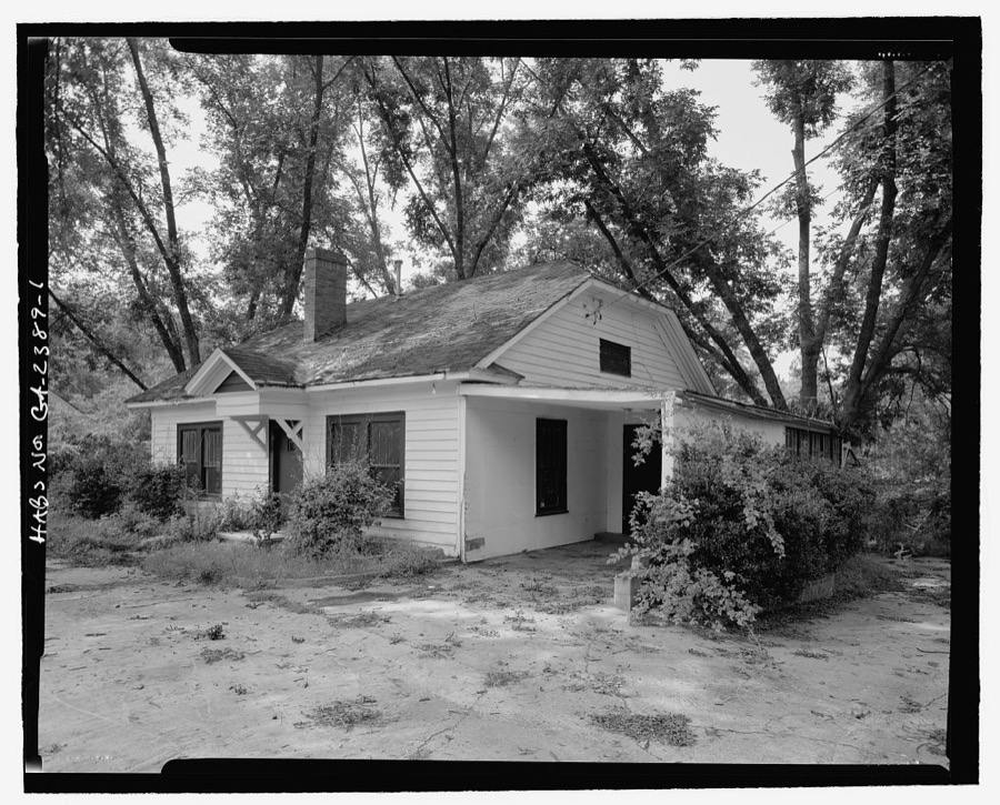
Every property in this county listed on the National Register of Historic Places, with the year it was listed and the federal nomination document.
| Photograph | Property | Type | Listed | Reference |
|---|---|---|---|---|
 | Allen Mercantile Company | building | 2002 | 02001632 |
 | Bainbridge Commercial Historic District | district | 1987 | 87001908 |
 | Bainbridge Residential Historic District | district | 1987 | 87001907 |
| Brinson Family Historic District | district | 1986 | 86002677 | |
 | J. W. Callahan House | building | 1976 | 76000616 |
 | Curry Hill Plantation | building | 1973 | 73000620 |
 | Decatur County Courthouse | building | 1980 | 80001011 |
 | First African Missionary Baptist Church | building | 2002 | 01001535 |
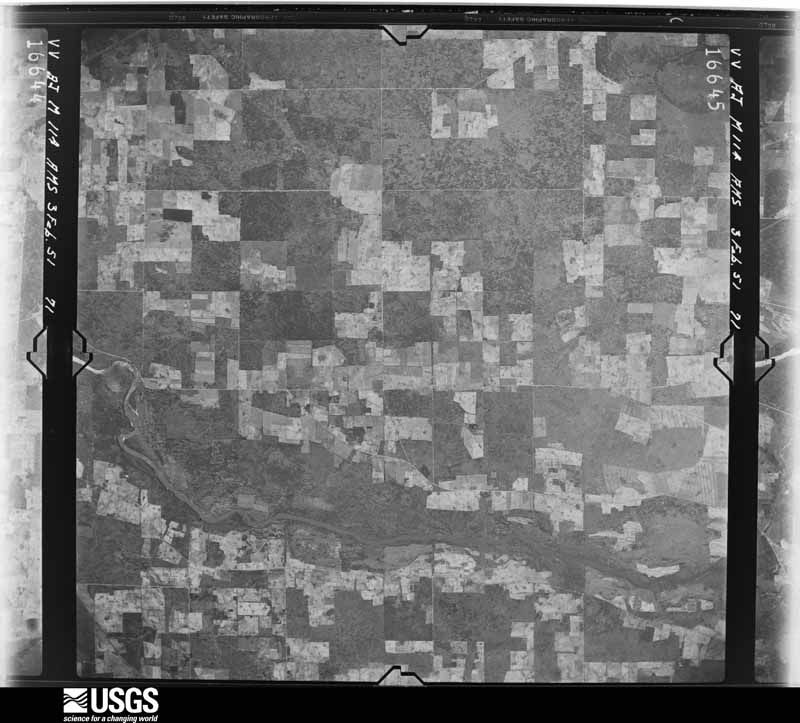
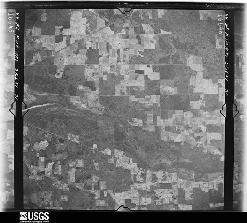
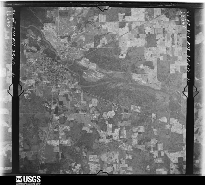
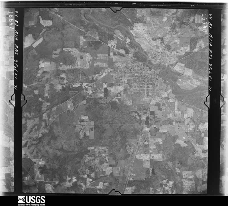
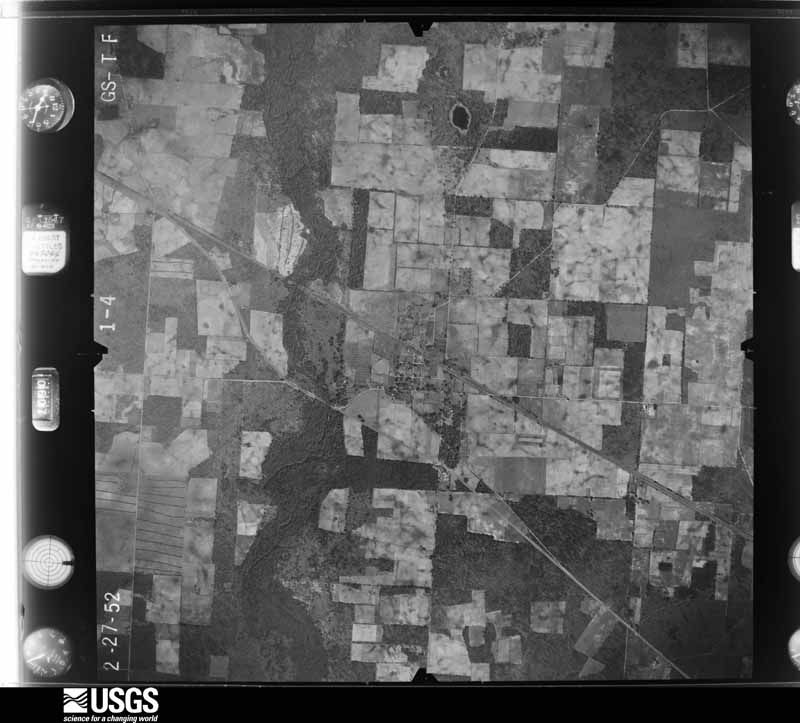
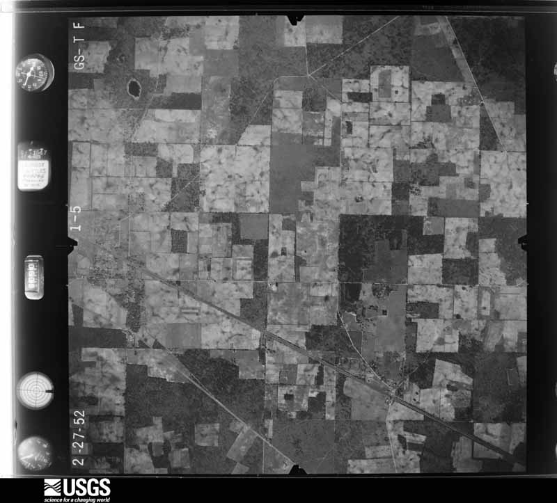
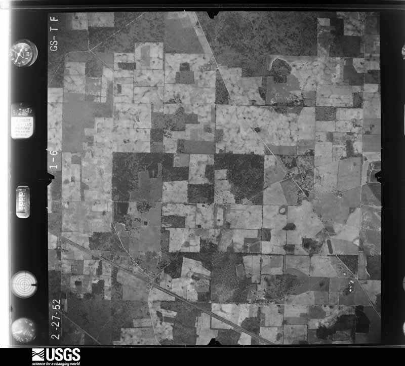
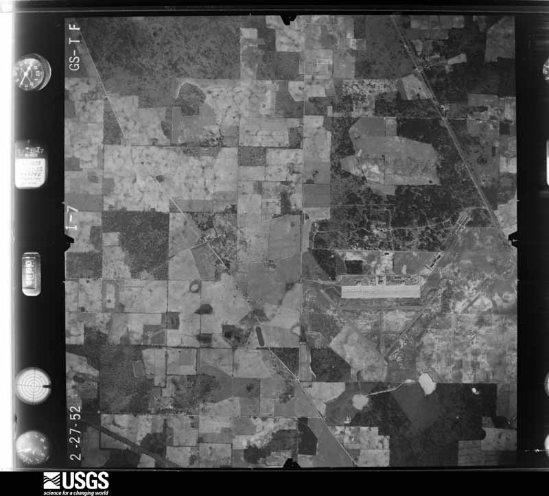
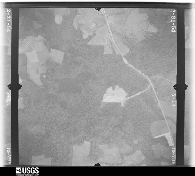
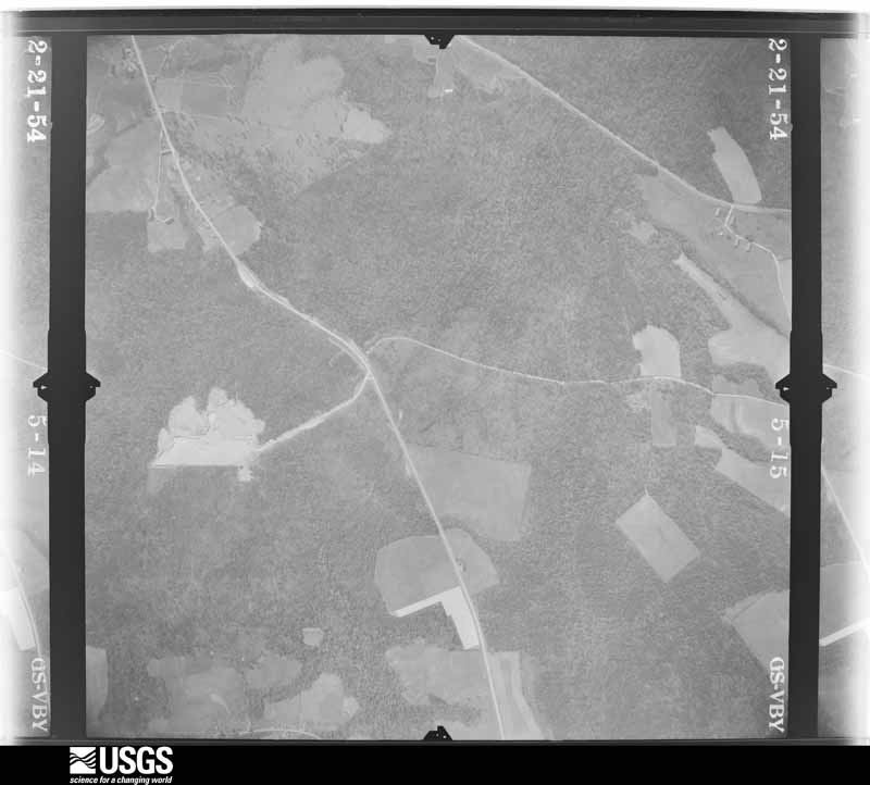
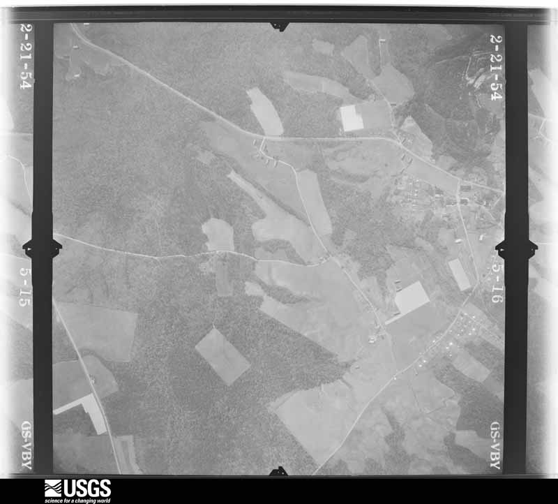
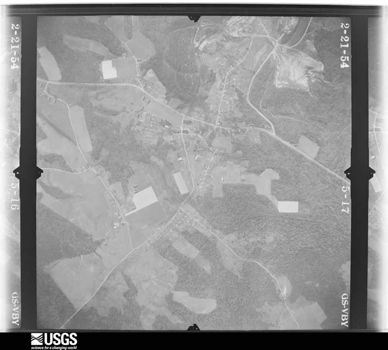
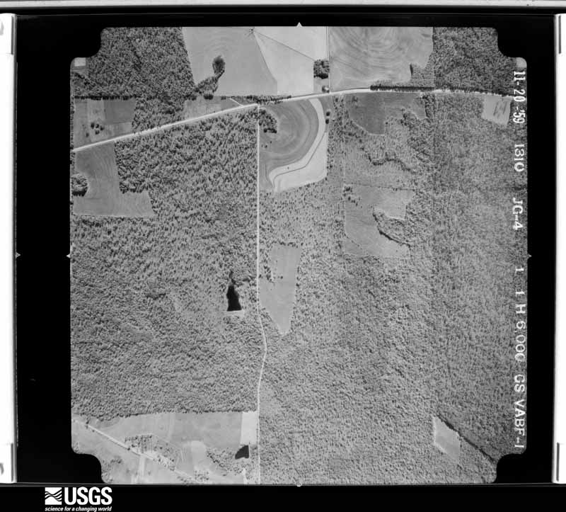
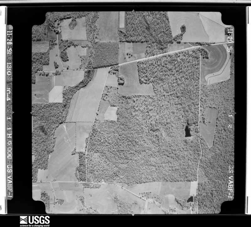
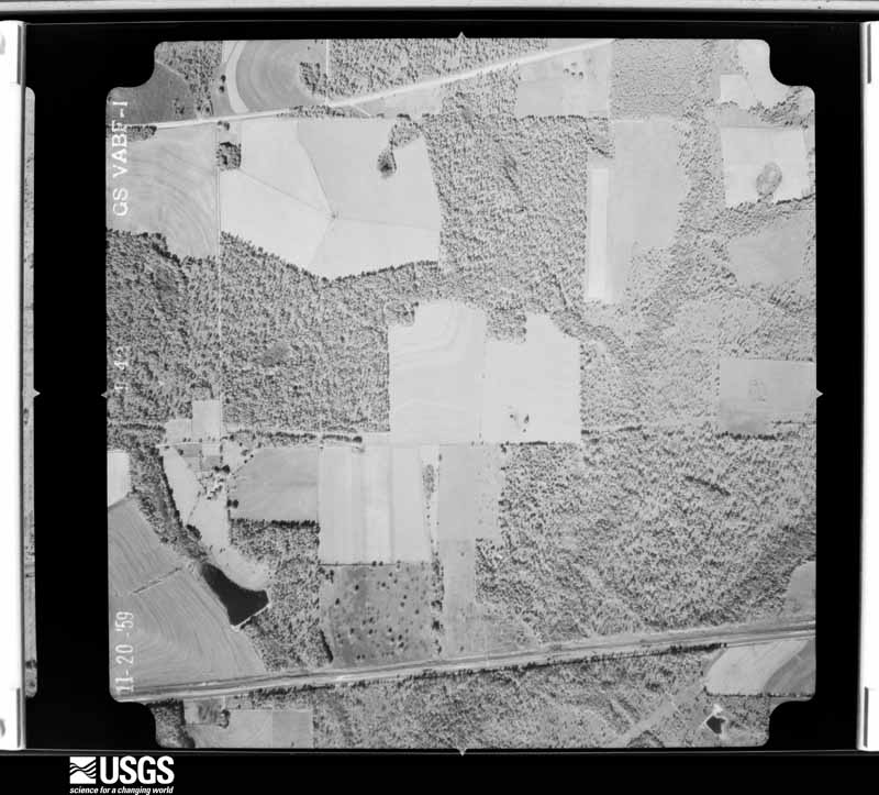
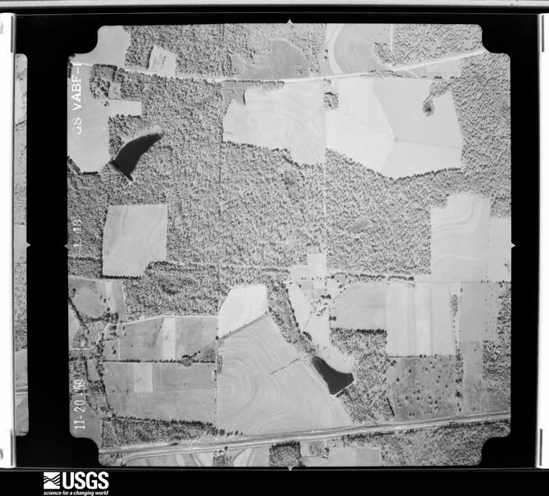
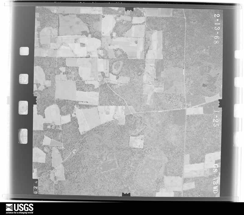
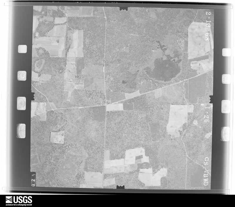
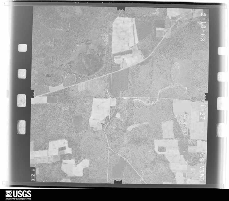
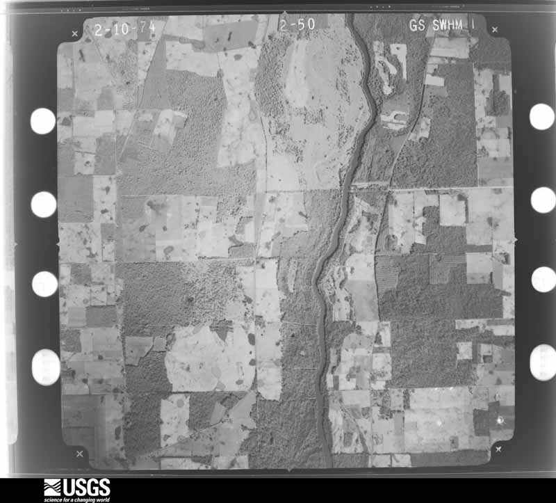
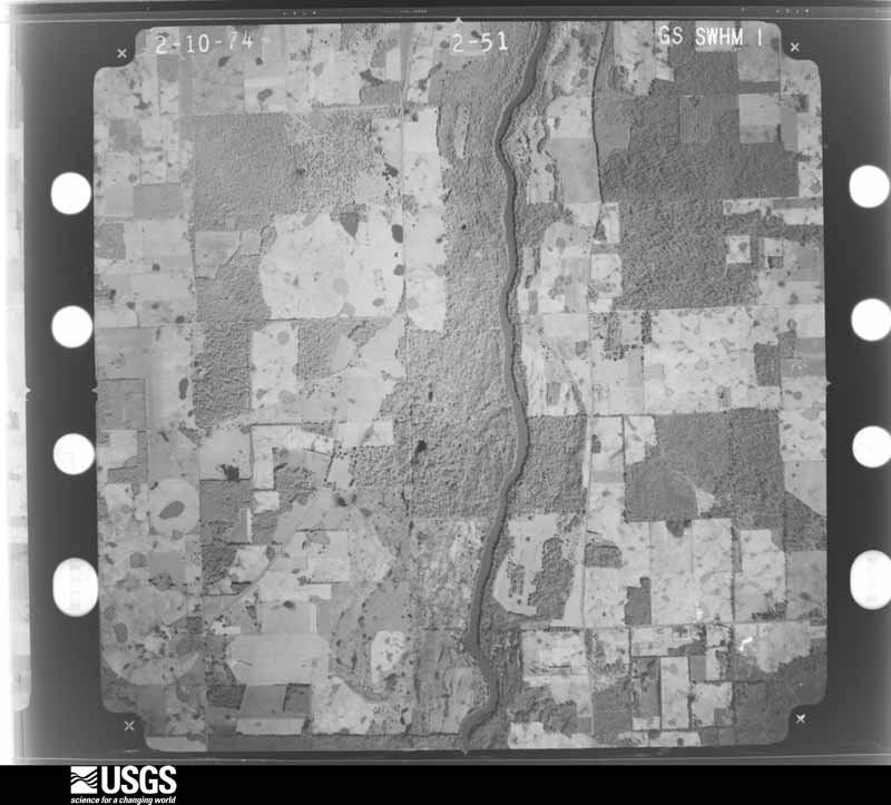
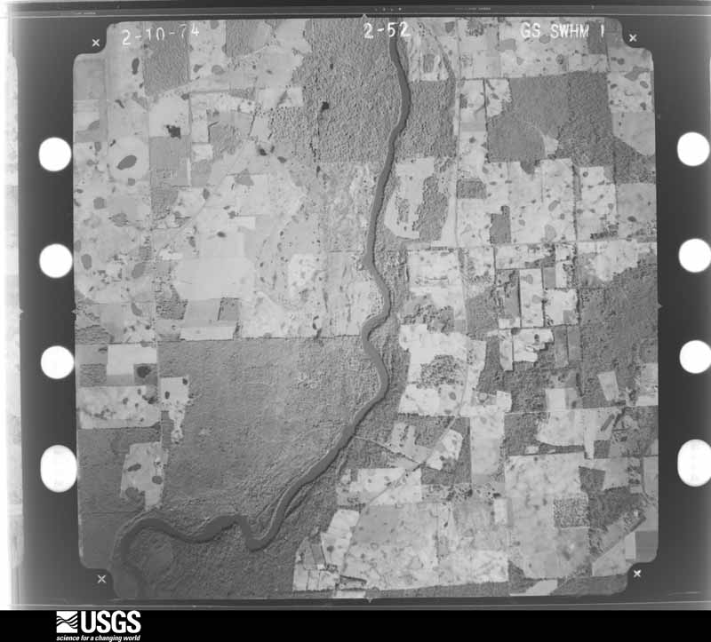
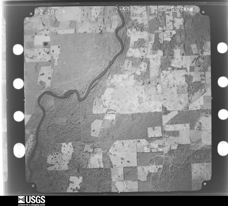
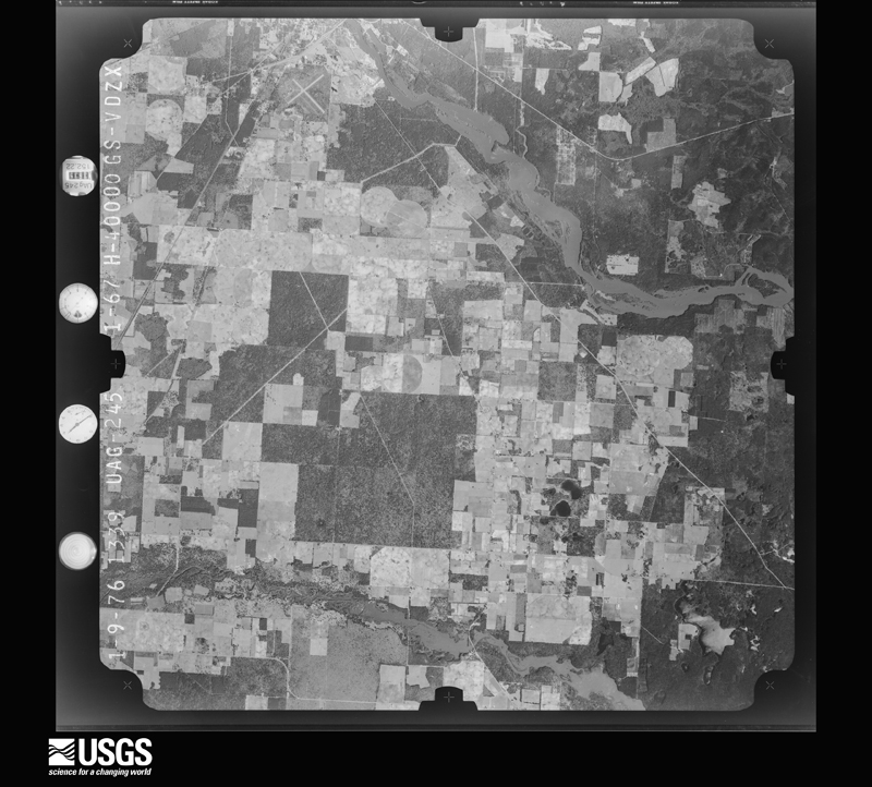
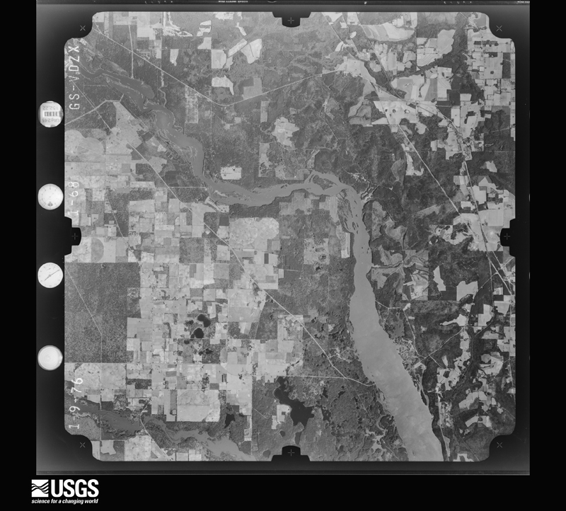
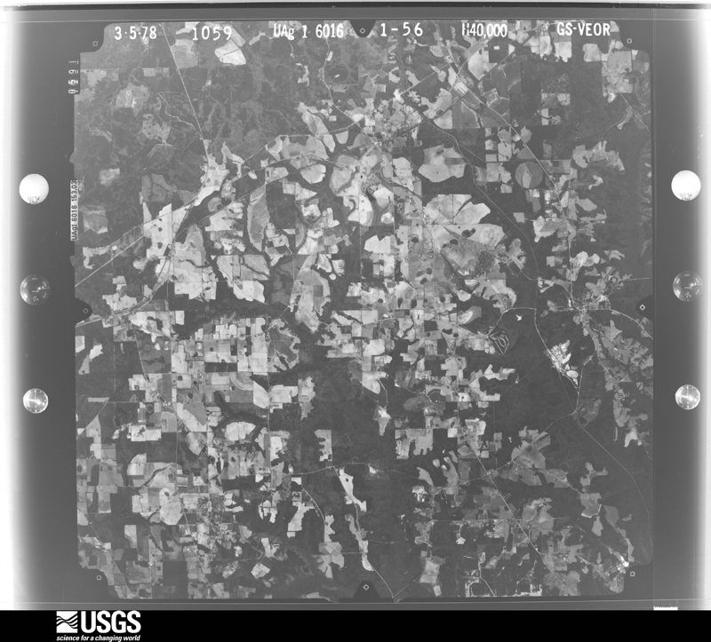
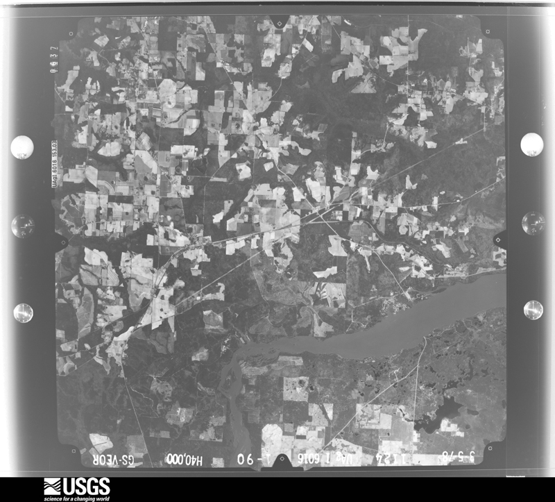
Flown by the U.S. Geological Survey between 1937 and 1989, the Aerial Photo Single Frames collection is the definitive mid-century view of the land: fields, roads and rivers as the camera saw them. The Survey holds 801 frames inside the rectangle that bounds this county; the 40 frames below were taken over the county itself, chosen across the decades of flights (at most four a year from that rectangle), so one flight cannot crowd out the rest. The full set is free to browse and download at EarthExplorer under the dataset Aerial Photo Single Frames.













The thermometers that kept this county's weather, and the gages that measured the flow of its streams, as the federal records hold them. The extremes below are measured values from those records, not estimates.
Who lived here in 1950, one enumeration district at a time, as the Census Bureau described each district. Each row opens its official National Archives result, with Population Schedules and ED Maps available there.
Every wildfire the federal occurrence database records inside this county: 2,291 of them, burning about 9,075 acres. 48 started naturally and 335 were recorded as arson. Each settlement page carries the fires within five miles of it.
| Reported cause | Fires |
|---|---|
| Debris and open burning | 1652 |
| Arson/incendiarism | 335 |
| Equipment and vehicle use | 85 |
| Smoking | 71 |
| Natural | 48 |
| Missing data/not specified/undetermined | 41 |
| Misuse of fire by a minor | 38 |
| Recreation and ceremony | 14 |
| Railroad operations and maintenance | 7 |
The five largest, by the area the report gives. Three of them were set deliberately.
| Date | Cause | Size | Reported by | Name on the report |
|---|---|---|---|---|
| 20 March 2004 | Arson/incendiarism | 421 acres | Georgia Forestry Commission | not named |
| 8 March 2004 | Debris and open burning | 396 acres | Georgia Forestry Commission | not named |
| 20 March 1994 | Arson/incendiarism | 238 acres | Georgia Forestry Commission | not named |
| 14 April 2010 | Debris and open burning | 235 acres | Georgia Forestry Commission | FY2010-DECATUR-040 |
| 3 May 2010 | Debris and open burning | 210 acres | Georgia Forestry Commission | FY2010-DECATUR-042 |
| 4 December 2000 | Debris and open burning | 209 acres | Georgia Forestry Commission | FY2001-DECATUR-015 |
| 11 March 2013 | Debris and open burning | 180 acres | Georgia Forestry Commission | FY2013-DECATUR-020 |
| 15 June 1995 | Arson/incendiarism | 166 acres | Georgia Forestry Commission | not named |
Every settlement page carries the fires within five miles of it - see the settlement index below.
The NOAA Storm Events Database holds 288 reports for this county, causing 1 death, 17 injuries and about $7,742,702 in recorded property damage. Each settlement page carries the reports that name it.
| Kind of event | Reports |
|---|---|
| Thunderstorm Wind | 211 |
| Tornado | 28 |
| Hail | 26 |
| Flash Flood | 10 |
| Flood | 5 |
| Heavy Rain | 4 |
| Funnel Cloud | 2 |
| Lightning | 2 |
The most serious of them, by death, then injury, then recorded damage. The accounts are quoted exactly as the forecast office filed them.
| When | Event | Place named | Harm | What the report says |
|---|---|---|---|---|
| July 2013 | Lightning | Faceville | 1 killed, 2 hurt | Lightning struck Lady Moon Farms, resuling in 1 fatality and 2 injuries. |
| March 2001 | Tornado (F2) | Climax | 4 hurt, $500,000 | An F2 tornado touched down on Fewell Road in the Bell Dixon Community and tracked northeast into western Grady County. Debris was scattered over a wide area. Four persons were injured, one critically. Five homes sustained roof and window damage. Numerous trees and power lines down. One house was destroyed and eight others were severely damaged. A double-wide mobile home on Bell Dixon Road was lifted from its foundation and reduced to bits of debris in a neighboring field. Reported by the Decatur County EMA and Bainbridge Post Searchlight. |
| April 1988 | Tornado (F2) | not stated | 3 hurt, $2,500,000 | no account filed |
| January 1972 | Tornado (F2) | not stated | 3 hurt, $25,000 | no account filed |
| July 1969 | Tornado (F1) | not stated | 2 hurt, $25,000 | no account filed |
| February 2000 | Tornado (F1) | Bainbridge | 1 hurt, $1,000,000 | A tornado destroyed several homes, and downed trees and power lines at the intersection of CR 97 and CR 262. One person was injured by flying debris. Decatur County was declared a federal disaster area. Reported by the Decatur County EMA. |
| April 1969 | Tornado (F2) | not stated | 1 hurt, $25,000 | no account filed |
| July 2002 | Lightning | Bainbridge | 1 hurt | A man was injured when he was struck by lightning while boating on the Flint River. Reported by Decatur County 911. |
| January 2016 | Flood | Steinham Store | $300,000 | The Flint River at Bainbridge crested in the moderate flood stage category at its 11th highest crest on record on January 4th. The Bainbridge water treatment plant suffered significant damage due to the flooding. Damage cost for Decatur county was estimated at $300,000. |
| April 2009 | Flood | Bainbridge | $250,000 | Minor to moderate flooding was observed along the Flint River. Runoff from Twin Lakes, Lake Douglas and Slough flooded 25 mobile homes in the Slough Loop subdivision about 5 miles north of Bainbridge. |
| May 1974 | Tornado (F1) | not stated | $250,000 | no account filed |
| April 1973 | Tornado (F2) | not stated | $250,000 | no account filed |
| October 1972 | Tornado (F2) | not stated | $250,000 | no account filed |
| February 1971 | Tornado (F2) | not stated | $250,000 | no account filed |
| May 1970 | Tornado (F2) | not stated | $250,000 | no account filed |
| August 2008 | Flash Flood | Laingkat | $200,000 | Several roads and low lying areas were flooded, including portions of U.S. Highway 84 near the Decatur-Grady county line, where several cars stalled in high water. A portion of Wautauga Road near Attapulgus was washed out. |
| July 2005 | Flash Flood | Countywide | $200,000 | Three to four inches of rain in a three-hour period washed out several county roads. Reported by the Decatur County EMA. |
| January 2017 | Thunderstorm Wind | Hanover | $100,000 | Damage to a farm equipment dealer and automobile dealer in the West Bainbridge area was determined to be associated with straight line winds around 80 mph. Trees were also blown down in West Bainbridge including Donald Dr, Hawk St, Dennard St, Miller Ave, Bethel Road, Newton Road, Spring Creek Road, Hales Landing, and John Sam Road. Damage cost was estimated. |
| March 2003 | Thunderstorm Wind | Mt Pleasant | $100,000 | Straight-line winds damaged a few homes and a church. Numerous trees and power lines were toppled. Reported by the Decatur County EMA. |
| March 2000 | Thunderstorm Wind | Recovery | $100,000 | Thunderstorm downburst winds damaged several houses and downed trees between River and Willow Roads. Reported by Decatur County 911. |
| March 2009 | Thunderstorm Wind | Cyrene | $75,000 | Several mobile homes and a barn were severely damaged. Several trees were toppled. |
| February 2008 | Tornado (EF0) | Fowlstown | $75,000 | The same supercell thunderstorm which spawned the EF1 tornado in Gadsden County Florida produced a brief EF0 tornado about five miles west of Attapulgus. The tornado uprooted trees which fell on several homes along Stephens Jenkins Road. |
| October 2008 | Thunderstorm Wind | Climax | $50,000 | Straight line winds blew down road signs and damaged a contruction company building on Highway 262. |
| September 2002 | Flash Flood | Countywide | $50,000 | Up to six inches of rain washed out a few county roads, with several closed to rising water. Over 500 acres of peanuts were damaged by flood waters. Reported by the Decatur County EMA. |
| September 1998 | Tornado (F0) | Bainbridge | $50,000 | A brief F0 tornado touchdown just south of Bainbridge on GA 97. Some trees and power lines down. |
| May 1993 | Thunderstorm Wind | Dublin | $50,000 | Streets were flooded throughout Bainbridge as 4.5 inches of rain fell in less than an hour. Water rose two feet over roadways which stalled and trapped several vehicles. |
| May 1993 | Thunderstorm Wind | Bainbridge | $50,000 | Several large trees were toppled and power lines downed by thunderstorm winds. Georgia Power reported over 1200 customers lost power for an average of two hours. |
| March 2012 | Tornado (EF0) | Vada | $35,000 | An NWS Storm Survey confirmed that an EF0 tornado touched down near Vada Road and moved northeastward with intermittent damage before lifting about 5 minutes later. An attached garage of a home was destroyed along with a farm equipment shed. A car was also flipped. Maximum winds were estimated around 80 mph. Monetary damage was estimated. |
| August 2006 | Thunderstorm Wind | Countywide | $30,000 | A Decatur County 911 dispatcher reported numerous downed trees and utility poles throughout the county. One home sustained minor damage from a fallen tree. There were many reports of power outages. |
| July 2004 | Thunderstorm Wind | Countywide | $30,000 | Downed trees and power lines. Several trees fell on houses and county roads. Nearly 2000 customers were without power. Reported by the Decatur County Fire and Rescue. |
| April 2023 | Tornado (EF1) | Climax | $25,000 | A brief tornado developed near Salem Church road and Handville Road, damaging a farm and crossing a field before dissipating near Bradley Street, just north of Climax, Georgia. The tornado caused significant damage to trees and a farm equipment storage building along the path, pulling very heavy concrete footing from the ground. The damage was consistent with an EF1 tornado with winds of 90 to 95 mph. |
| July 2018 | Thunderstorm Wind | Eldorendo | $25,000 | Multiple trees were blown down across northern Decatur county. One tree was down on a house and another tree was down on a car. Damage cost was estimated. |
| March 2009 | Thunderstorm Wind | Cyrene | $25,000 | A roof was lifted off a large building near Dothan Road and Cyrene Road. |
| August 2008 | Thunderstorm Wind | Bainbridge | $25,000 | Several trees and power lines were down. More than 1,000 residents in Bainbridge were without power. A large tree fell through the roof of an unoccupied home in the River Oaks subdivision. |
| March 2005 | Thunderstorm Wind | Bainbridge | $25,000 | A metal storage building was damaged. Numerous trees and power lines were snapped off on State Road 253. Reported by the public. |
| April 1979 | Tornado (F1) | not stated | $25,000 | no account filed |
| June 1972 | Tornado (F1) | not stated | $25,000 | no account filed |
| October 1972 | Tornado (F1) | not stated | $25,000 | no account filed |
| December 1968 | Tornado (F3) | not stated | $25,000 | no account filed |
| April 2022 | Thunderstorm Wind | Bainbridge | $20,000 | A tree fell on a vehicle on Sharpe Street at Scott Street with power lines also down. |
| March 2019 | Tornado (EF1) | Bethany | $20,000 | An EF1 tornado with maximum winds of 90 mph initially touched down southwest of Bainbridge along GA-253, or Spring Creek Road. Damage in the area was mainly limited to large pines snapped. A tree fell on a home along the road. The tornado lifted before reaching the Flint River with straight-line wind damage observed south of Bainbridge. Damage cost was estimated. |
| May 2012 | Thunderstorm Wind | Bainbridge | $20,000 | Multiple trees were blown down across the road on Lord Avenue, Sims Street, and Progress Street. One tree fell on a house and another fell on a car. No injuries occurred. Monetary damage was estimated. |
| April 2011 | Thunderstorm Wind | West Bainbridge | $20,000 | Trees and power lines were blown down across the county. The monetary damage figure provided is a rough estimate. |
| May 1995 | Thunderstorm Wind | Bainbridge | $20,000 | Thunderstorm winds flipped a plane at the Decatur County Industrial Airport. A few trees were also reported downed in the area. |
| December 2021 | Tornado (EF0) | Bainbridge | $15,000 | An EF-0 tornado tracked through Bainbridge, GA on Wednesday afternoon, Dec 29th. The tornado first touched down just southwest of Evans St between S West St and Academy Street before uprooting a tree on Evans St. It then moved northeastward, with minor damage noted to a small apartment building on Potter St and a highway road sign knocked over on E Shotwell St. Minor tree damage and fallen branches were observed across E Broughton St, E Water St, and Planter St. The tornado then peeled back some of the metal roofing of a convenience store on the corner of E Calhoun St and Albany Rd and damaged a metal carport nearby. The tornado continued northeastward along Albany Rd, inflicting minor roof damage to a home and snapping a few tree branches before lifting just north of E Carter St. The total track of the tornado is estimated to be just under a mile with a maximum path width of 50 yards, which occurred near the start of the tornado. |
| June 2001 | Thunderstorm Wind | Bainbridge | $15,000 | Numerous trees down and a few roofs damaged. Reported by the Decatur County 911. |
| June 1998 | Thunderstorm Wind | Countywide | $15,000 | Numerous trees and power lines down. One tree fell onto a mobile home in Decatur County. |
| November 2025 | Thunderstorm Wind | Mt Pleasant | $10,000 | In the area of 3500 Vada Road, there were large oak trees down, power lines down, and some roof damage. |
| April 2023 | Thunderstorm Wind | Bainbridge | $10,000 | A tree fell onto a house on Boxwood Drive. |
| February 2021 | Thunderstorm Wind | Bainbridge | $10,000 | Trees and power lines were blown down on Russ St. A tree landed on a truck and resulted in damage to the truck. |
| June 2015 | Thunderstorm Wind | Bethany | $10,000 | Numerous trees were blown down across southern Decatur county. Property damage was reported along with widespread power lines down from near Barber Road eastward to Greenshade Road. Damage was estimated. |
| March 2013 | Thunderstorm Wind | Climax | $10,000 | Several trees were blown down in Climax, including one tree on a residence. The roof of a shed was also blown off. Monetary damage was estimated. |
| June 2008 | Thunderstorm Wind | Bainbridge | $10,000 | Numerous trees and power lines were down. Scattered power outages reported in Bainbridge. |
| July 2003 | Thunderstorm Wind | Countywide | $10,000 | Numerous downed trees and power lines in the towns of Attapulgus and Climax. A roof was blown off a mobile home along Highway 27 about four miles north of Attapulgus. Reported by Decatur County 911. |
| June 2002 | Thunderstorm Wind | Southeast Portion | $10,000 | A shed was destroyed. Reported by Decatur County Fire Rescue. |
| April 1998 | Thunderstorm Wind | Bainbridge | $10,000 | Several large trees blown into power poles with numerous power lines ablaze (approximately two miles NNE of Bainbridge). |
| November 1995 | Tornado (F1) | Bainbridge | $10,000 | A tornado touched down near Spring Creek and Airport Road causing structural damage to several residences. |
| January 2024 | Thunderstorm Wind | Hanover | $5,000 | A mobile home was tilted over at about a 30 degree angle off its blocks. |
| June 2022 | Thunderstorm Wind | Bainbridge | $5,000 | Multiple trees and power lines were blown down. |
| December 2014 | Flash Flood | Fowlstown | $5,000 | Priest Road was closed due to a washout from heavy rainfall in a short period of time. Monetary damage was estimated. |
The Survey's mineral resources record lists 11 workings inside this county. 8 still produce and 3 are closed or unrecorded. Each settlement page carries the workings within five miles of it.
| Commodity | Workings |
|---|---|
| Sand and Gravel, Construction | 6 |
| Fullers Earth | 3 |
| Clay | 1 |
The least common of them first, because a county's hundredth gravel pit says nothing its first ten did not.
| Where | Site | Commodity | Status | Recorded |
|---|---|---|---|---|
| Amsterdam Mine | Clay | Producer | ||
| Donaldson Quarry | Fullers Earth | Producer | ||
| Englehart Decatur Mine | Fullers Earth | Producer | ||
| Gunn Farm Mine | Fullers Earth | Producer | ||
| Adams Mine | Sand and Gravel, Construction | Past Producer | ||
| Flint Concrete Products | Sand and Gravel, Construction | Producer | ||
| Flint Mine No.2 | Sand and Gravel, Construction | Producer | ||
| Floyd Pit | Sand and Gravel, Construction | Past Producer | ||
| Reynolds Pit | Sand and Gravel, Construction | Producer | ||
| Rollins Pit | Sand and Gravel, Construction | Producer | ||
| Attapulgus, Ga. | Past Producer | 1895 |
Named settlements recorded in the Geographic Names Information System, each with the topographic sheets covering it. Villages, hamlets and abandoned places alike. Each is shown with the nearest named watercourse or landform and the survey quadrangle it falls on. The 1 place that was also surveyed for fire insurance comes first, with the number of atlases and photographs held for them.
Bainbridge census division · 39819 · Bainbridge quadrangle
12 sheets, 1954 to 1988
Fire insurance: 9 atlases
Attapulgus census division · 39815 · On Miller Branch · Havana North quadrangle
12 sheets, 1954 to 1988
Faceville census division · 39819 · On Boykin Branch · Chattahoochee quadrangle
13 sheets, 1954 to 1994
Mount Pleasant census division · 39817 · Bainbridge quadrangle
12 sheets, 1954 to 1988
Mount Pleasant census division · 39817 · Bainbridge quadrangle
12 sheets, 1954 to 1988
Mount Pleasant census division · 39834 · Climax North quadrangle
12 sheets, 1954 to 1988
Faceville census division · 39819 · Near Bass Island · Faceville quadrangle
11 sheets, 1954 to 1988
12 topographic sheets and 9 fire insurance atlases, 1885 to 1950
The complete index, with nothing left out. Each of these is a separate record with its own page: a federal survey report, or the case file that argued a property on to the National Register. Both are public domain and reproduced word for word.