 Block
From the record
9 National Register listings published here.
Sources: the National Register database, National Park Service
20 topographic sheets and 7 fire insurance atlases across 2 places.
9 National Register listings published here.
Sources: the National Register database, National Park Service
Taken for the Office of War Information and the Farm Security Administration, who photographed the country between 1935 and 1944. Works of United States government photographers, with no known restriction on use. Each opens its catalogue record.

Every property in this county listed on the National Register of Historic Places, with the year it was listed and the federal nomination document.
| Photograph | Property | Type | Listed | Reference |
|---|---|---|---|---|
 | William H. Byrom House | building | 1997 | 97000053 |
 | County Training School | building | 2010 | 10000158 |
| Dooly County Campground | district | 2024 | 100009997 | |
 | Dooly County Courthouse | building | 1980 | 80001013 |
 | Leonard-Akin House | building | 1997 | 97000054 |
 | Lilly Historic District | district | 1998 | 97001558 |
 | Stovall-George-Woodward House | building | 1979 | 79000716 |
| Vienna High and Industrial School | building | 2012 | 12001056 | |
| Vienna Historic District | district | 2005 | 04001557 |
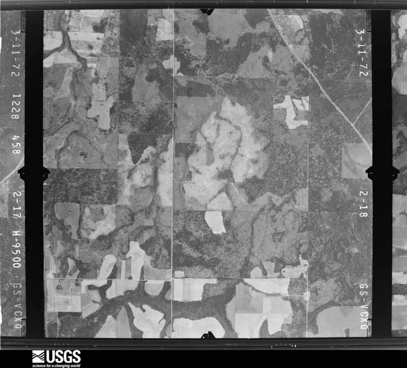
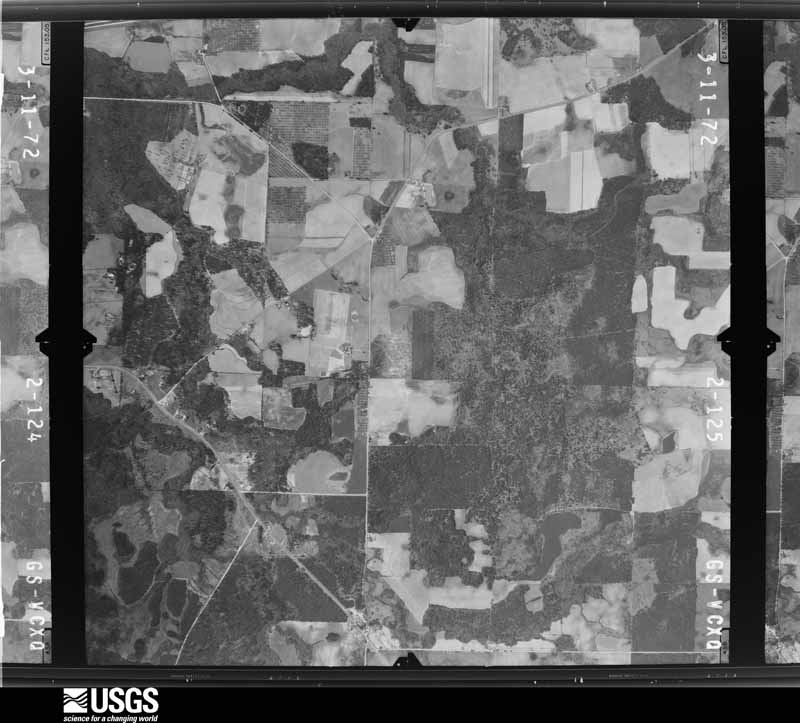
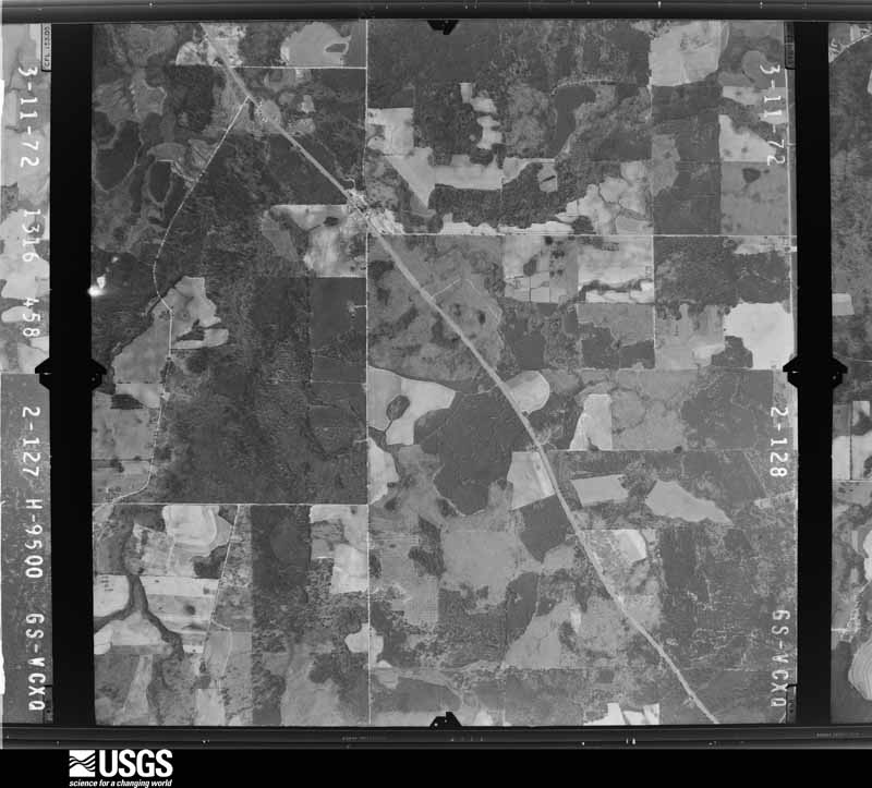
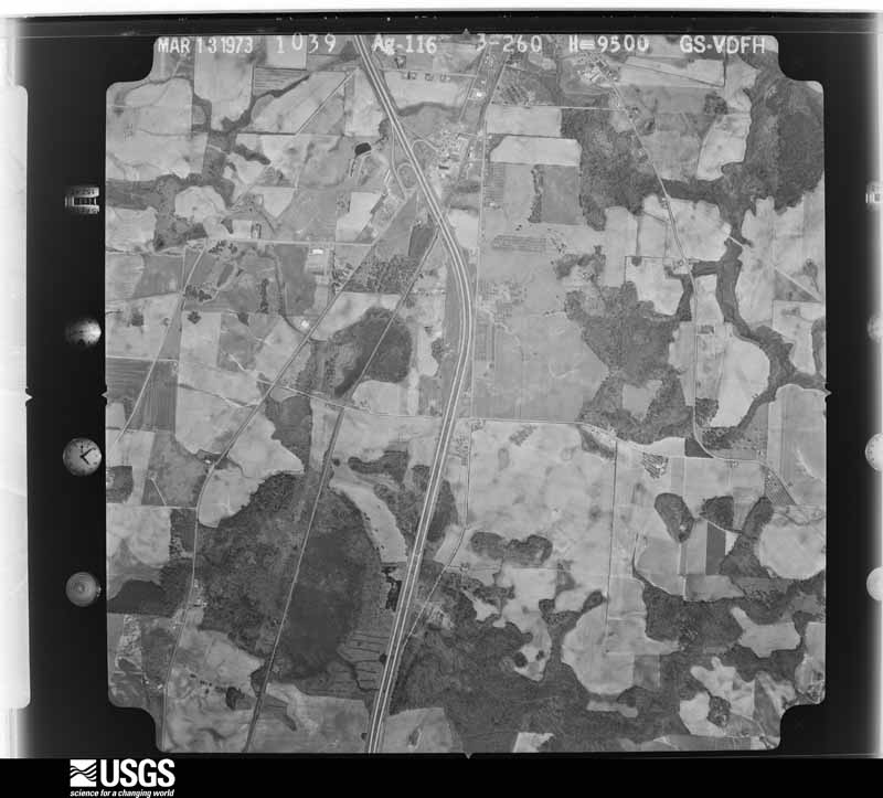
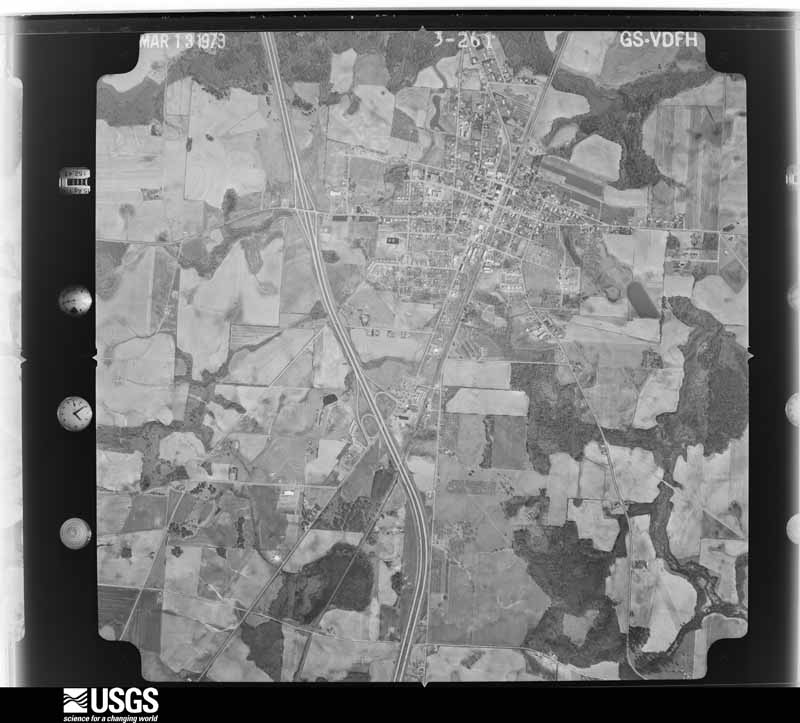
Flown by the U.S. Geological Survey between 1937 and 1989, the Aerial Photo Single Frames collection is the definitive mid-century view of the land: fields, roads and rivers as the camera saw them. The Survey holds 472 frames inside the rectangle that bounds this county; the 16 frames below were taken over the county itself, chosen across the decades of flights (at most four a year from that rectangle), so one flight cannot crowd out the rest. The full set is free to browse and download at EarthExplorer under the dataset Aerial Photo Single Frames.




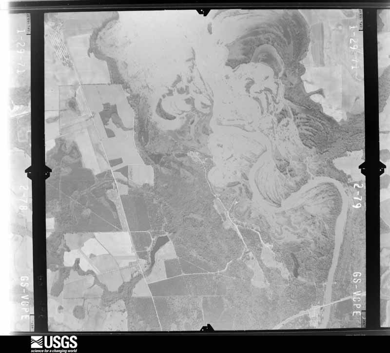
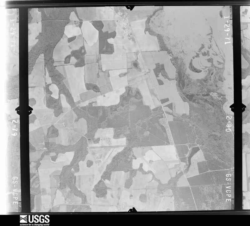
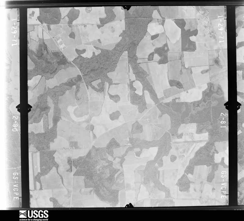
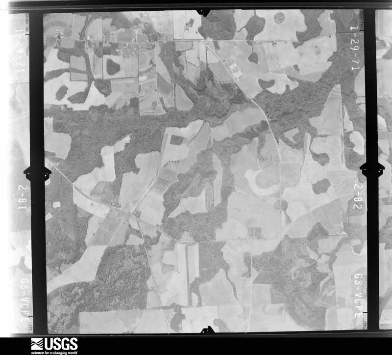



The thermometers that kept this county's weather, and the gages that measured the flow of its streams, as the federal records hold them. The extremes below are measured values from those records, not estimates.
Who lived here in 1950, one enumeration district at a time, as the Census Bureau described each district. Each row opens its official National Archives result, with Population Schedules and ED Maps available there.
Every wildfire the federal occurrence database records inside this county: 750 of them, burning about 3,863 acres. 24 started naturally and 80 were recorded as arson. Each settlement page carries the fires within five miles of it.
| Reported cause | Fires |
|---|---|
| Debris and open burning | 506 |
| Arson/incendiarism | 80 |
| Equipment and vehicle use | 77 |
| Railroad operations and maintenance | 25 |
| Natural | 24 |
| Missing data/not specified/undetermined | 14 |
| Smoking | 9 |
| Misuse of fire by a minor | 8 |
| Recreation and ceremony | 7 |
The five largest, by the area the report gives. Three of them were set deliberately.
| Date | Cause | Size | Reported by | Name on the report |
|---|---|---|---|---|
| 27 April 2007 | Arson/incendiarism | 156 acres | Georgia Forestry Commission | OLD RUMBLE ROAD FIRE |
| 2 July 2012 | Natural | 148 acres | Georgia Forestry Commission | FY2013-DOOLY-003 |
| 27 October 2001 | Arson/incendiarism | 114 acres | Georgia Forestry Commission | FY2002-DOOLY-006 |
| 20 September 2010 | Arson/incendiarism | 93 acres | Georgia Forestry Commission | FY2011-DOOLY-005 |
| 21 February 2001 | Debris and open burning | 93 acres | Georgia Forestry Commission | FY2001-DOOLY-024 |
| 1 June 2011 | Debris and open burning | 84 acres | Georgia Forestry Commission | FY2011-DOOLY-044 |
| 4 February 1992 | Debris and open burning | 71 acres | Georgia Forestry Commission | not named |
| 30 October 2001 | Debris and open burning | 71 acres | Georgia Forestry Commission | FY2002-DOOLY-008 |
Every settlement page carries the fires within five miles of it - see the settlement index below.
The NOAA Storm Events Database holds 175 reports for this county, causing 1 death, 57 injuries and about $15,510,730 in recorded property damage. Each settlement page carries the reports that name it.
| Kind of event | Reports |
|---|---|
| Thunderstorm Wind | 101 |
| Hail | 36 |
| Tornado | 21 |
| Flood | 6 |
| Flash Flood | 5 |
| Heavy Rain | 3 |
| Lightning | 1 |
| Funnel Cloud | 1 |
| Winter Storm | 1 |
The most serious of them, by death, then injury, then recorded damage. The accounts are quoted exactly as the forecast office filed them.
| When | Event | Place named | Harm | What the report says |
|---|---|---|---|---|
| March 1961 | Tornado (F3) | not stated | 1 killed, 14 hurt, $2,500,000 | no account filed |
| April 1999 | Tornado (F3) | Drayton | 28 hurt, $10,000,000 | An NWS Storm survey showed the tornado touched down along highway 27 at the Flint River near Drayton. The tornado hopped eastward along highway 27, demolishing pecan orchards and barns, before devastating the town of Vienna. It exited the town between 2 schools, with only minor damage to either. It later crossed I-75 between Georgia highways 27 and 215, blocking the Interstate with debris. The storm lifted a short distance east of there between Noble Gin Road and Smyrna Church Road. The EMA director said 25 percent of homes and businesses were destroyed or severely damaged. Of the 28 injuries the most serious was a broken leg. Newspaper accounts reported 69 houses, 15 mobile homes, and 9 businesses were destroyed. Another 256 homes, 12 churches, 10 mobile homes, and 6 businesses suffered damage. Three apartment complexes were ruined and 70 power poles were ripped from the ground. Around 400 people were left homeless in a town with a population of over 2700. |
| March 1975 | Tornado (F2) | not stated | 5 hurt, $250,000 | no account filed |
| July 1992 | Thunderstorm Wind | not stated | 5 hurt | no account filed |
| February 1990 | Thunderstorm Wind | not stated | 3 hurt | no account filed |
| December 2006 | Tornado (F2) | Unadilla | 1 hurt, $150,000 | A survey conducted by the National Weather Service Forecast Office in Peachtree City, GA, concluded that a tornado touched down near the intersection of Snow Springs Road or Georgia Highway 230, just west-northwest of Unadilla, and traveled 1/2 mile to a point just east-northeast of Unadilla. While the tornado was initially determined to be an F0 tornado, it intensified to an F2 tornado before dissipating. The tornado first touched down in an open cotton field pushing over a 30-yard section of an irrigation system near Snow Springs Road and U.S. Highway 41. The tornado then moved east to northeast to the northeast side of Unadilla breaking trees, damaging signs, roofs, and billboards along its path. On the east side of Unadilla, three mobile homes were destroyed, several pecan trees were uprooted in a pecan orchard, and shingles were peeled from several homes in the area. The tornado dissipated in the area of Peavy Street and Peavy Lane. The tornado was determined to be approximately 50 yards wide at its widest point and traveled a distance of about 0.5 miles. One minor injury was reported at one of the destroyed mobile homes as a result of minor cuts, bruises, and scrapes from debris. |
| July 1959 | Tornado (F1) | not stated | 1 hurt, $25,000 | no account filed |
| April 2009 | Tornado (EF1) | Drayton | $350,000 | A damage survey conducted by the National Weather Service Forecast Office in Peachtree City confirmed that the EF1 tornado, that originally touched down in far northeastern Sumter county three miles east-southeast of Methvins, continued on an east-southeastward track across far southern Dooly county and into extreme northwest Wilcox county, lifting approximately five miles north of Seville in Wilcox county. The tornado tracked around 21 miles within Dooly county. The maximum path width was determined to be 250 yards and the maximum winds were estimated at 110 mph. The tornado passed just north of Drayton and just south of Vienna in Dooly county. Several hundred trees were either uprooted or snapped along the path of the tornado. A number of pecan trees in an orchard south of Vienna were destroyed. Two site built homes suffered significant roof damage from downed trees on the structures. Two mobiles homes were also damaged by the high winds of the tornado. Several barns and outbuildings were destroyed along the path of the tornado. Several irrigation systems were rolled over. A small radio tower in the eastern part of Dooly county was also blown over. No deaths or injuries were reported. |
| March 2005 | Flash Flood | Countywide | $300,000 | The Dooly County Sheriff's Office reported that there was extensive flooding of roads throughout the county. Several roads were closed by the Department of Transportation as the roads were impassable. The News Observer of Vienna reported that at least 60 roads in the county sustained damage in varying degrees. Portions of Vienna were evacuated as a precaution because of potential dam breaks and flash flooding. Rainfall of five to six inches was common with the northwest portion of the county receiving six to eight inches of rain. |
| October 1989 | Tornado (F2) | not stated | $250,000 | no account filed |
| April 1971 | Tornado (F3) | not stated | $250,000 | no account filed |
| April 2017 | Tornado (EF1) | Drayton | $150,000 | A National Weather Service survey team found that an EF1 tornado with maximum wind speeds of 105 MPH and a maximum path width of 200 yards touched down in far |western Dooly county south of Highway 27 between River Road and Franklin Road. The|most substantial damage occurred to a home along Franklin Road where the 2nd floor was completely destroyed. The portion of the home destroyed was still in the finishing stages of construction. Tree damage was noted in the area around the home and a large irrigation system was flipped over in a nearby field. The tornado continued northeast crossing Highway 27 just east of where Ayers Road intersects and several |trees were snapped and uprooted where it crossed. The tornado continued northeast crossing Slosheye Trail where hundreds of trees were snapped and uprooted in a wooded area on either side of the road. As the tornado continued to the northeast it crossed Highway 90 snapping a few trees before weakening east of Pleasant Valley Road. No injuries were reported. [04/05/17: Tornado #5, County #1/1, EF-1, Dooly, 2017:064]. |
| December 2005 | Hail | Drayton | $150,000 | The Georgia State Patrol reported a large swath of hail across the southern part of the county. The hail was as large as golf balls in the Vienna area. |
| June 2019 | Thunderstorm Wind | Lilly | $100,000 | The Dooly County Emergency Manager reported trees blown down across the county. Some locations include Slosheye Trail at Highway 41, Old National Highway at Pennahatchee Road, and Parnham Road between Shiloh Road and Highway 257 where significant damage occurred to a house and a barn. No injuries were reported. |
| March 2009 | Tornado (EF0) | Lilly | $100,000 | The Dooly County Emergency Management Director confirmed that a brief EF0 tornado touched down along Pleasant Valley Road, between Steele Road and Truman Road, approximately four miles northwest of Vienna, and tracked northeast for about 1/4 mile or 500 yards. The maximum path width was determined to be 50 yards. At least 50 trees were uprooted or snapped in half along the path of the tornado. Several homes were damaged from the downed trees. Six homes sustained minor roof damage when shingles or guttering was blown off. Some metal carports were damaged and a few outbuildings were destroyed. |
| March 2010 | Tornado (EF0) | Snow Spg | $50,000 | A damage survey conducted by the National Weather Service in Peachtree City, Georgia confirmed that a very weak and brief EF0 tornado caused minor damage just south of Unadilla. The tornado touched down near the intersection of Taylor Street just west of Interstate-75 and continued approximately one mile east-northeast to a point on the east side of Interstate-75 near the intersection of 3rd District Road and Browns Chapel Road. The maximum path width was determined to be 100 yards wide with maximum winds estimated to be 75 mph. Near the touchdown point of the tornado, a tree fell causing minor damage to the corner of a home. Another nearby home lost a few shingles. As the tornado continued east, it crossed through a horse arena, where some tin roofing was torn from a portion of one row of horse stalls. A large adjacent billboard was blown over on a car. At the end point of the tornado, a tree top was broken out. |
| April 2009 | Tornado (EF0) | Vienna | $50,000 | A damage survey conducted by the Dooly County Emergency Management Director confirmed that yet another, weaker EF0 tornado was tracking across Dooly county, just north of Vienna, as the longer-lived EF1 tornado was tracking across all of southern Dooly county south of Vienna. This EF0 tornado touched down approximately two miles north of Vienna and traveled east-northeast approximately six miles before lifting. This tornado was determined to have a maximum path width of 100 yards with maximum winds estimated at 85 mph. Spotty damage was observed along the path of the tornado. A chicken house was destroyed, one home suffered minor roof damage, and a tin roof was peeled off a barn. From 15 to 20 trees were uprooted or snapped along the path of the tornado. |
| June 1998 | Thunderstorm Wind | Vienna | $50,000 | A newspaper reported that thunderstorm winds knocked down old barns, damaged some mobile homes and blew over a tractor-trailer rig on I-75. |
| February 1996 | Thunderstorm Wind | Vienna | $50,000 | no account filed |
| November 1996 | Thunderstorm Wind | Vienna | $50,000 | no account filed |
| March 2011 | Hail | Byromville | $42,000 | Several reports of quarter to golf ball-sized hail were received from the Dooly County 911 Center and the public across northern Dooly county, especially from the Pinehurst area. Hail was observed from Byromville in the west to southeast of Unadilla in the east part of the county. |
| May 2010 | Hail | Unadilla | $41,000 | A storm spotter observed quarter to golf ball-sized hail approximately five miles west of Unadilla. |
| March 2018 | Hail | Pinehurst | $40,000 | The public reported golf ball size hail around Pinehurst. |
| March 2018 | Hail | Drayton | $40,000 | Broadcast media reported golf ball sized hail along Tiger Road. |
| April 1998 | Thunderstorm Wind | Lilly | $40,000 | A trailer was blown off its foundation in Lilly. Numerous trees were knocked down from Byromville to Vienna and over to Pinehurst. A barn or outbuilding was destroyed about 15 miles northeast of Vienna near highway 230. Small hail was also reported. |
| July 1996 | Thunderstorm Wind | Vienna | $40,000 | no account filed |
| May 2010 | Thunderstorm Wind | Pinehurst | $30,000 | The public reported a thunderstorm downburst that resulted in minor damage to two recreational vehicles, a portion of a roof being blown off a building, five uprooted large pecan trees, and one downed power line. Winds were estimated to be at least 75 mph. |
| June 2015 | Thunderstorm Wind | Drayton | $25,000 | The Dooly County Emergency Manager reported several pecan trees blown down in southwestern Dooly County. A center-pivot irrigation system was blown over in southeastern Dooly County. The concrete center anchor point was lifted out of the ground. |
| January 2012 | Tornado (EF0) | Snow Spg | $25,000 | A National Weather Service assessment team determined than an EF-0 tornado occurred in north Dooly County. The weak EF-0 tornado initially touched down around 415 PM with winds around 80 MPH along Old National Road northwest of Pinehurst where several trees were downed. The weak tornado lifted and briefly touched down again along Highway 41 near Taylor Road where several trees were uprooted. Near Rocky Ford Road, three outbuildings were damaged or destroyed. Sheets of tin were torn off a barn, the roof was blown off a hay shelter, and another hay shelter collapsed. The damage path was sporadic as the weak tornado would quickly lift after only brief touchdowns along the path. The final tree damage noted was along 3rd District Road just north of Highway 27 where several trees were downed.||[01/21/12: Tornado #3, County #1-1, EF0, Dooly, 2012:003]. |
| December 2005 | Hail | Unadilla | $25,000 | The Dooly County Emergency Management Director reported that hail ranging in size from pennies to golf balls fall from Unadilla to the northeast corner of the county near the Pulaski county line. |
| May 1971 | Tornado (F1) | not stated | $25,000 | no account filed |
| February 1969 | Tornado (F1) | not stated | $25,000 | no account filed |
| March 1967 | Tornado (F1) | not stated | $25,000 | no account filed |
| February 1961 | Tornado (F2) | not stated | $25,000 | no account filed |
| May 1960 | Tornado (F2) | not stated | $25,000 | no account filed |
| June 2016 | Thunderstorm Wind | Tippetville | $20,000 | The Dooly County Emergency Manager reported several pecan trees blown down along Highway 215 near Highway 257. |
| July 2015 | Thunderstorm Wind | Drayton | $20,000 | The Dooly County Emergency Manager reported a three-sided metal barn along with several trees blown down east of Drayton. |
| December 2000 | Thunderstorm Wind | Vienna | $20,000 | The Dooly county 911 center reported that a roof and carport were blown off a home. Trees and power lines were also blown down in the same area. |
| July 2018 | Thunderstorm Wind | Pinehurst | $12,000 | The Dooly County Emergency Manager reported several trees blown down from Byromville and Vienna to Drayton. In Vienna, a fire station was damaged when a roll-up door at the station was blown inward and the other doors on the building were blown outward. No injuries were reported. |
| June 2010 | Thunderstorm Wind | Pinehurst | $10,000 | The Dooly County Emergency Management Director reported that 11 large pecan trees were down between Pinehurst and Vienna parallelling U.S. Highway 41 and Georgia Highway 70. |
| August 2010 | Thunderstorm Wind | Byromville | $10,000 | The Dooly County Emergency Management Director reported that a strong thunderstorm downburst downed 20 mature pecan trees and damaged another 30 mature pecan trees between Vienna and Byromville. In addition, a 150-year old, six-foot diameter oak tree was blown down in the same thunderstorm wind gusts, falling on and destroying the porch of a home. It was further noted that a field of corn was flattened by the strong winds. |
| June 2015 | Thunderstorm Wind | Findlay | $6,000 | The Dooley County Sheriff's Office reported several trees blown down across the county. |
| July 2023 | Thunderstorm Wind | Emerich | $5,000 | Emergency manager reported several trees down at residence near Vining Rd and Indian Lake Rd. |
| May 2019 | Thunderstorm Wind | Drayton | $5,000 | Dooly County EMA reported a large tree down near the intersection of Ayers Rd and Franklin Rd, in addition to numerous power outages in the the area. |
| April 2011 | Thunderstorm Wind | Dooling | $5,000 | The Dooly County 911 Center reported that more than a dozen trees were down across the county. Scattered power outages were noted. |
| September 2009 | Flood | Emerich | $5,000 | The USGS stream gage on the Turkey Creek at Byromville reached its flood stage of 10 feet at 1054 am EDT. The creek remained above flood until 540 am EDT on the 23rd. Monetary damage was confined to minor debris removal from areas adjacent to the creek. |
| April 2006 | Thunderstorm Wind | Vienna | $5,000 | The Dooly County Emergency Management Director reported that the roof was blown of the office of a funeral home located near Interstate-75. |
| May 2006 | Thunderstorm Wind | Countywide | $5,000 | The Dooly County 911 Center reported that from 15 to 20 trees were down across the county, mostly in the eastern portion. One tree was down on Georgia Highway 27 east of Vienna. Winds were measured at 49 mph at the Murphy Farm AgAmerica Empowerment Agency in Byromville, but stronger winds were estimated at other locations in the county. Pea-sized hail was reported in the north part of the county. |
| May 2003 | Thunderstorm Wind | Countywide | $5,000 | The Dooly county Sheriff's Office and the Dooly county 911 center reported that a number of trees were down in the county. |
| July 2003 | Flash Flood | Southwest Portion | $5,000 | The Dooly county 911 center reported that excessive rainfall of six to eight inches in just a few hours had resulted in the flooding of several roads in the southwest part of the county. Several streams and creeks had quickly risen out of their banks and water was flowing across several roads. |
| April 1997 | Thunderstorm Wind | Vienna | $5,000 | no account filed |
| June 2019 | Thunderstorm Wind | Pinehurst | $4,000 | The Dooly County Emergency Manager reported a couple of trees down across road in Pinehurst. No evidence of severe winds. |
| June 1999 | Thunderstorm Wind | Lilly | $3,500 | The 911 center reported several large tree limbs blown down and a roof blown off of a home. |
| March 2026 | Thunderstorm Wind | Lilly | $3,000 | Several trees downed across weeks road near hwy 90. |
| June 2024 | Thunderstorm Wind | Mars Hill Crossroads | $3,000 | Public report of two trees down and minor damage to the awning of a home at the intersection of Coody Dairy Rd and Dooly High Rd. |
| August 2021 | Thunderstorm Wind | Emerich | $3,000 | The Dooley County 911 center reported trees blown down from Mims Road on the Houston County line to east of Unadilla along Highway 230. |
| December 2009 | Flood | Dooling | $3,000 | The Dooly County Emergency Management Director reported minor flooding of some roads and property across the county, mostly adjacent to overflowing creeks and streams. A few roads were closed because of high water. Monetary damage was confined to minor debris removal in these areas. |
| April 2009 | Flood | Drayton | $3,000 | The USGS stream gage on Turkey Creek at Byromville rose above the flood stage of 10.0 feet on April 3rd at 456 am EDT. It remained above flood stage through 637 pm EDT the same day. The creek crested at 10.46 feet at 930 am EDT on April 3rd. Damage was confined to debris removal near the creek. |
| February 2008 | Thunderstorm Wind | Dooling | $3,000 | The Dooly County 911 Center reported that several trees were down scattered about mainly the northern portion of the county. The most significant damage was noted in the Unadilla area. |
| July 2000 | Thunderstorm Wind | Drayton | $3,000 | The Dooly county 911 center reported that a power pole was knocked down on Georgia Highway 27 at Drayton Road. |
Named settlements recorded in the Geographic Names Information System, each with the topographic sheets covering it. Villages, hamlets and abandoned places alike. Each is shown with the nearest named watercourse or landform and the survey quadrangle it falls on. The 2 places that were also surveyed for fire insurance come first, with the number of atlases and photographs held for them.
Unadilla census division · 31091 · Unadilla quadrangle
10 sheets, 1956 to 1988
Fire insurance: 3 atlases
Vienna census division · 31092 · Vienna quadrangle
8 sheets, 1957 to 1988
Fire insurance: 4 atlases
Byromville census division · 31063 · Byromville quadrangle
8 sheets, 1957 to 1988
No longer a settlement
Byromville census division · 31007 · On Rogers Branch · Byromville quadrangle
8 sheets, 1957 to 1988
Vienna census division · 31092 · On Turkey Creek · Drayton quadrangle
9 sheets, 1957 to 1988
Unadilla census division · 31091 · On Sugar Hill · Unadilla quadrangle
10 sheets, 1956 to 1988
The vanished settlements of Dooly County: the places named above that are no longer on the map.
8 topographic sheets and 4 fire insurance atlases, 1907 to 1943
10 topographic sheets and 3 fire insurance atlases, 1915 to 1940