 Block
Drayton, Georgia
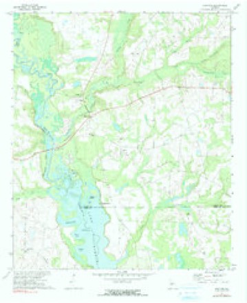
9 topographic sheets cover this place, the earliest surveyed in 1957 and the latest in 1988. It stands in the Vienna census division. It lies in ZIP code area 31092. It stands on Turkey Creek. The Survey maps it on the Drayton quadrangle.
Topographic sheets covering this place
7 surveys from 9 printed sheetsMatched by testing this settlement's coordinate against the published boundary of every sheet in the United States Geological Survey's historical collection. Each opens the scanned sheet at the Survey.
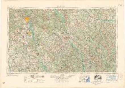
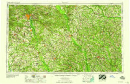
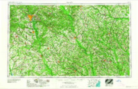
- 1957 USGS Macon quadrangle1:250000
- 1958 USGS Macon quadrangle1:250000
- 1964 USGS Macon quadrangle1:250000, 2 printings
- 1972 USGS Drayton quadrangle1:24000, 2 printings
- 1977 USGS Hawkinsville quadrangle1:100000
- 1978 USGS Hawkinsville quadrangle1:100000
- 1988 USGS Macon quadrangle1:250000
Fires near this place
117 since 1992Regional context, not property-specific evidence. The federal wildfire occurrence database lists 117 fires within 5 miles of Drayton between 1992 and 2020, burning about 579 acres in total. 5 started naturally. 8 were recorded as arson. Distance is straight-line from the map coordinates, so a fire counted here may appear on a neighbouring settlement's page as well.
| Reported cause | Fires |
|---|---|
| Debris and open burning | 79 |
| Equipment and vehicle use | 19 |
| Arson/incendiarism | 8 |
| Natural | 5 |
| Smoking | 3 |
| Misuse of fire by a minor | 2 |
| Recreation and ceremony | 1 |
The most recent of them, most recent first, with the day each was reported and the service that recorded it.
| Date | Cause | Size | Reported by | Name on the report |
|---|---|---|---|---|
| 30 September 1993 | Debris and open burning | 27 acres | Georgia Forestry Commission | not named |
| 21 September 2016 | Debris and open burning | under an acre | Georgia Forestry Commission | FY2017-DOOLY-003 |
| 21 September 1995 | Debris and open burning | under an acre | Georgia Forestry Commission | not named |
| 20 September 2010 | Arson/incendiarism | 93 acres | Georgia Forestry Commission | FY2011-DOOLY-005 |
| 2 September 1993 | Equipment and vehicle use | under an acre | Georgia Forestry Commission | not named |
| 13 September 1996 | Debris and open burning | 2.5 acres | Georgia Forestry Commission | not named |
| 9 August 2006 | Debris and open burning | 5.0 acres | Georgia Forestry Commission | not named |
| 26 August 2020 | Debris and open burning | under an acre | Georgia Forestry Commission | FY2021DOOLY003 |
Settlements close enough to share some of these fires:
Storms near this place
18 since 1999Regional context, not property-specific evidence. The National Weather Service names Drayton in 18 storm reports between 1999 and 2019: 11 thunderstorm wind, 3 tornado, 3 hail, 1 flood. The reports record 28 injuries. Each account below is quoted exactly as the forecast office filed it, from the NOAA Storm Events Database, and each date opens the federal record of that event.
| When | Event | Place named | Harm | What the report says |
|---|---|---|---|---|
| April 1999 | Tornado (F3) | Drayton | 28 hurt, $10,000,000 | An NWS Storm survey showed the tornado touched down along highway 27 at the Flint River near Drayton. The tornado hopped eastward along highway 27, demolishing pecan orchards and barns, before devastating the town of Vienna. It exited the town between 2 schools, with only minor damage to either. It later crossed I-75 between Georgia highways 27 and 215, blocking the Interstate with debris. The storm lifted a short distance east of there between Noble Gin Road and Smyrna Church Road. The EMA director said 25 percent of homes and businesses were destroyed or severely damaged. Of the 28 injuries the most serious was a broken leg. Newspaper accounts reported 69 houses, 15 mobile homes, and 9 businesses were destroyed. Another 256 homes, 12 churches, 10 mobile homes, and 6 businesses suffered damage. Three apartment complexes were ruined and 70 power poles were ripped from the ground. Around 400 people were left homeless in a town with a population of over 2700. |
| April 2009 | Tornado (EF1) | Drayton | $350,000 | A damage survey conducted by the National Weather Service Forecast Office in Peachtree City confirmed that the EF1 tornado, that originally touched down in far northeastern Sumter county three miles east-southeast of Methvins, continued on an east-southeastward track across far southern Dooly county and into extreme northwest Wilcox county, lifting approximately five miles north of Seville in Wilcox county. The tornado tracked around 21 miles within Dooly county. The maximum path width was determined to be 250 yards and the maximum winds were estimated at 110 mph. The tornado passed just north of Drayton and just south of Vienna in Dooly county. Several hundred trees were either uprooted or snapped along the path of the tornado. A number of pecan trees in an orchard south of Vienna were destroyed. Two site built homes suffered significant roof damage from downed trees on the structures. Two mobiles homes were also damaged by the high winds of the tornado. Several barns and outbuildings were destroyed along the path of the tornado. Several irrigation systems were rolled over. A small radio tower in the eastern part of Dooly county was also blown over. No deaths or injuries were reported. |
| April 2017 | Tornado (EF1) | Drayton | $150,000 | A National Weather Service survey team found that an EF1 tornado with maximum wind speeds of 105 MPH and a maximum path width of 200 yards touched down in far |western Dooly county south of Highway 27 between River Road and Franklin Road. The|most substantial damage occurred to a home along Franklin Road where the 2nd floor was completely destroyed. The portion of the home destroyed was still in the finishing stages of construction. Tree damage was noted in the area around the home and a large irrigation system was flipped over in a nearby field. The tornado continued northeast crossing Highway 27 just east of where Ayers Road intersects and several |trees were snapped and uprooted where it crossed. The tornado continued northeast crossing Slosheye Trail where hundreds of trees were snapped and uprooted in a wooded area on either side of the road. As the tornado continued to the northeast it crossed Highway 90 snapping a few trees before weakening east of Pleasant Valley Road. No injuries were reported. [04/05/17: Tornado #5, County #1/1, EF-1, Dooly, 2017:064]. |
| December 2005 | Hail | Drayton | $150,000 | The Georgia State Patrol reported a large swath of hail across the southern part of the county. The hail was as large as golf balls in the Vienna area. |
| March 2018 | Hail | Drayton | $40,000 | Broadcast media reported golf ball sized hail along Tiger Road. |
| June 2015 | Thunderstorm Wind | Drayton | $25,000 | The Dooly County Emergency Manager reported several pecan trees blown down in southwestern Dooly County. A center-pivot irrigation system was blown over in southeastern Dooly County. The concrete center anchor point was lifted out of the ground. |
| July 2015 | Thunderstorm Wind | Drayton | $20,000 | The Dooly County Emergency Manager reported a three-sided metal barn along with several trees blown down east of Drayton. |
| May 2019 | Thunderstorm Wind | Drayton | $5,000 | Dooly County EMA reported a large tree down near the intersection of Ayers Rd and Franklin Rd, in addition to numerous power outages in the the area. |
| April 2009 | Flood | Drayton | $3,000 | The USGS stream gage on Turkey Creek at Byromville rose above the flood stage of 10.0 feet on April 3rd at 456 am EDT. It remained above flood stage through 637 pm EDT the same day. The creek crested at 10.46 feet at 930 am EDT on April 3rd. Damage was confined to debris removal near the creek. |
| July 2000 | Thunderstorm Wind | Drayton | $3,000 | The Dooly county 911 center reported that a power pole was knocked down on Georgia Highway 27 at Drayton Road. |
| April 1999 | Thunderstorm Wind | Drayton | $2,500 | What had originally been reported by Emergency Management personnel as tornadoes turned out to be minor wind damage from thunderstoms. Survey by an NWS personnel and conversation with local personnnel indicated lots of swirling dust from freshly plowed fields caused the tornado scare. There were 3 small trees down near Drayton. In Unadilla, a glass store front was broken and awnings bent as the thunderstorm gust front moved through. |
| April 2015 | Thunderstorm Wind | Drayton | $2,000 | The Dooly County 911 center reported several trees down at mile marker 3 on Georgia Highway 27. |
| April 2009 | Thunderstorm Wind | Drayton | $2,000 | The Dooly County 911 Center reported that a few trees were down on Georgia Highway 230 near Drayton in the western part of the county and a few more trees were down on a local road in the eastern part of the county just west of Tippettville. |
| July 2004 | Thunderstorm Wind | Drayton | $500 | The Dooly County 911 center reported that a couple of trees were blown down. |
| August 2002 | Thunderstorm Wind | Drayton | $500 | The Dooly county 911 center reported that some trees were blown down. |
| May 2010 | Hail | Drayton | - | The Dooly County Emergency Management Director relayed several reports of penny-sized hail from the southern half of the county. Hail was reported in Drayton, west of Vienna, and in Richwood. This hail fell from one of three thunderstorms that tracked across the county. The storm that tracked across the northern part of the county produced golf ball-sized hail and is documented separately. |
| December 2005 | Thunderstorm Wind | Drayton | - | The Dooly County 911 Center reported that a trailer was turned on its side and several trees were blown down. |
| December 2000 | Thunderstorm Wind | Drayton | - | An amateur radio operator estimated wind gusts to 75 mph. |
Nearest settlements
The eight closest, with where each one stands in the county. Distances are straight-line, computed from the Geographic Names Information System coordinates.
| Map | Place | Distance | Sheets |
|---|---|---|---|
| Lilly | 6.5 miles | 8 | |
| Bakerfield (historical) | 7.5 miles | 8 | |
| Vienna | 8.6 miles | 8 | |
| Byromville | 9.2 miles | 8 | |
| Richwood | 9.2 miles | 8 | |
| Dooling | 10.9 miles | 8 | |
| Findlay | 11.2 miles | 9 | |
| Pinehurst | 13.2 miles | 9 |
Provenance
This settlement is recorded in the Geographic Names Information System as feature 331587. The sheet list is computed by point-in-boundary test against the United States Geological Survey's historical topographic inventory. Both are works of the United States government and carry no copyright under 17 U.S.C. 105.
Wildfire. Short, Karen C. 2022. Spatial wildfire occurrence data for the United States, 1992-2020 [FPA_FOD_20221014]. 6th Edition. Fort Collins, CO: Forest Service Research Data Archive. https://doi.org/10.2737/RDS-2013-0009.6 Collected with United States Government funding and usable without additional permissions or fees.
Storms. NOAA National Centers for Environmental Information, Storm Events Database https://www.ncei.noaa.gov/stormevents/ A work of the United States government, no copyright under 17 U.S.C. 105. Narratives are quoted verbatim from the National Weather Service report and are not edited or summarised.