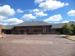
Block
From the record
22 National Register listings published here.
Sources: the National Register database, National Park Service
40 topographic sheets and 9 fire insurance atlases across 1 place.
22 National Register listings published here.
Sources: the National Register database, National Park Service
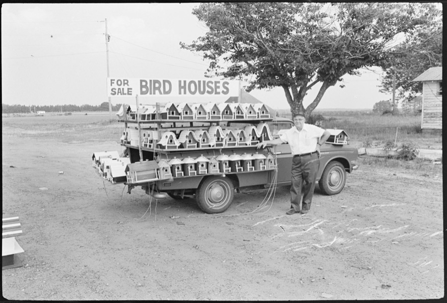
Taken for the Office of War Information and the Farm Security Administration, who photographed the country between 1935 and 1944. Works of United States government photographers, with no known restriction on use. Each opens its catalogue record.
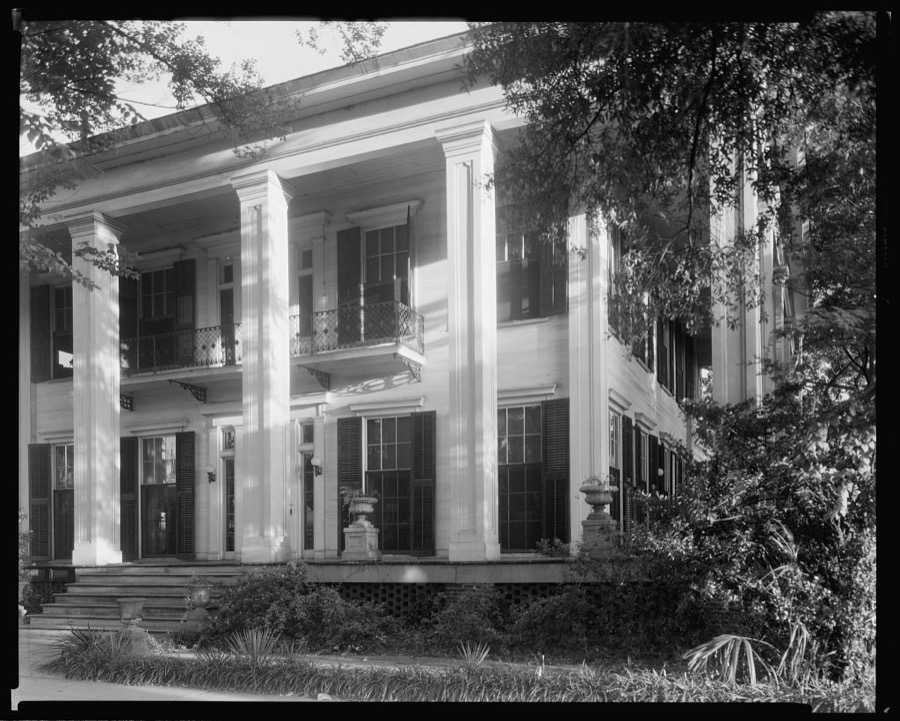
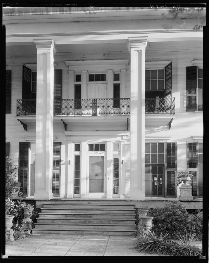
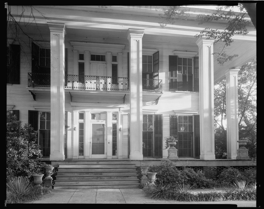
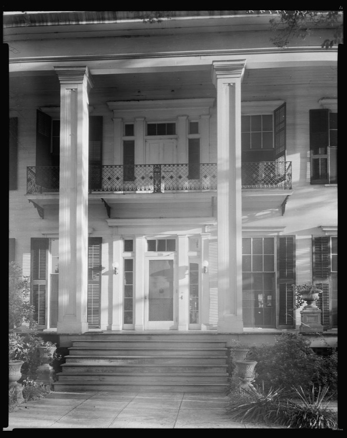
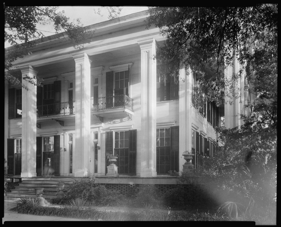

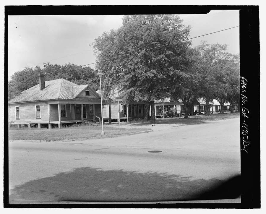
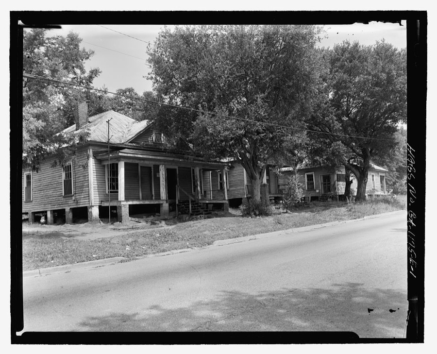
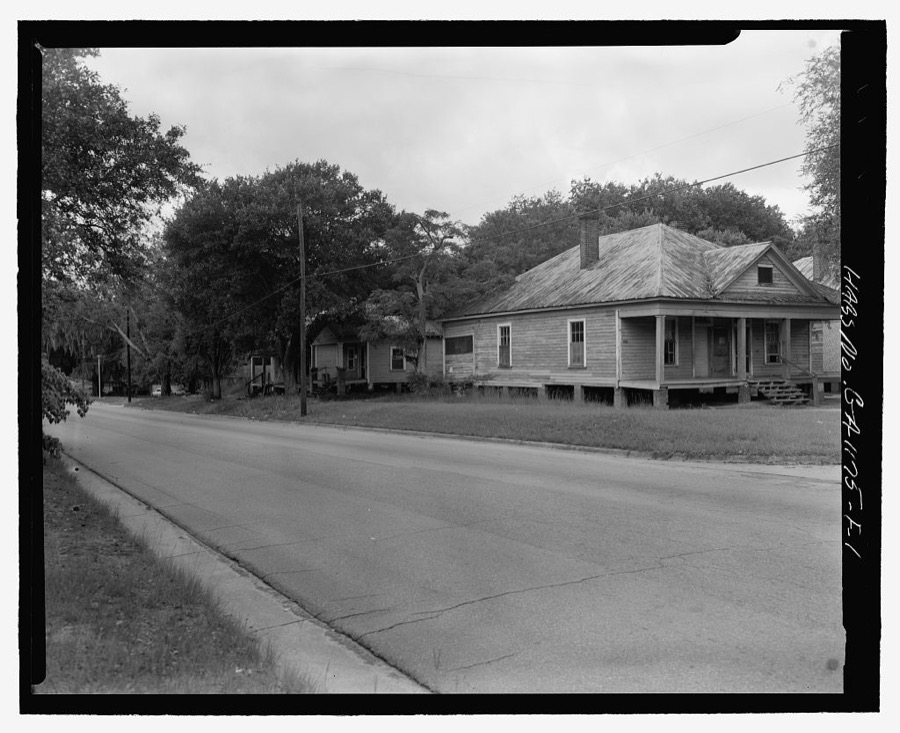
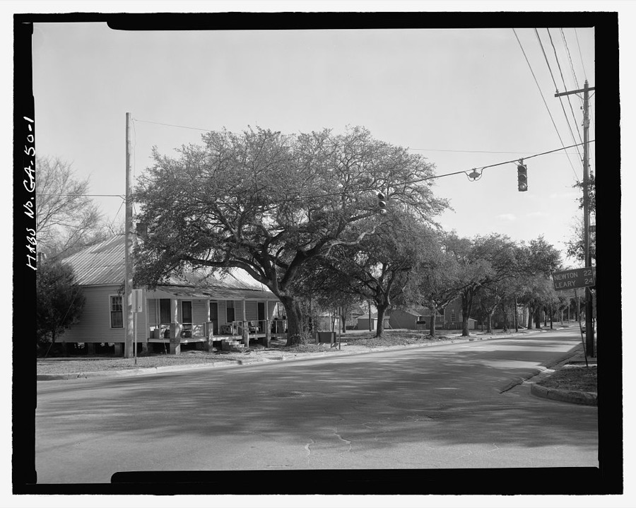
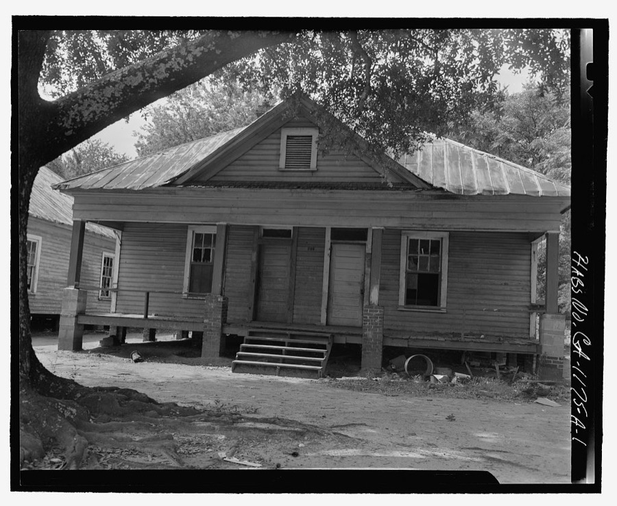



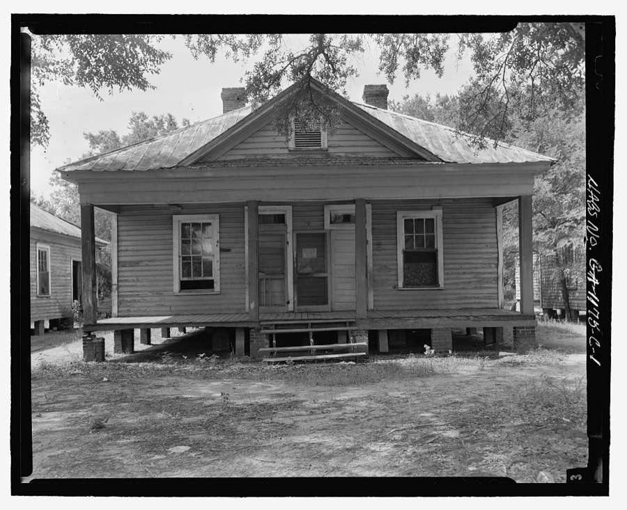
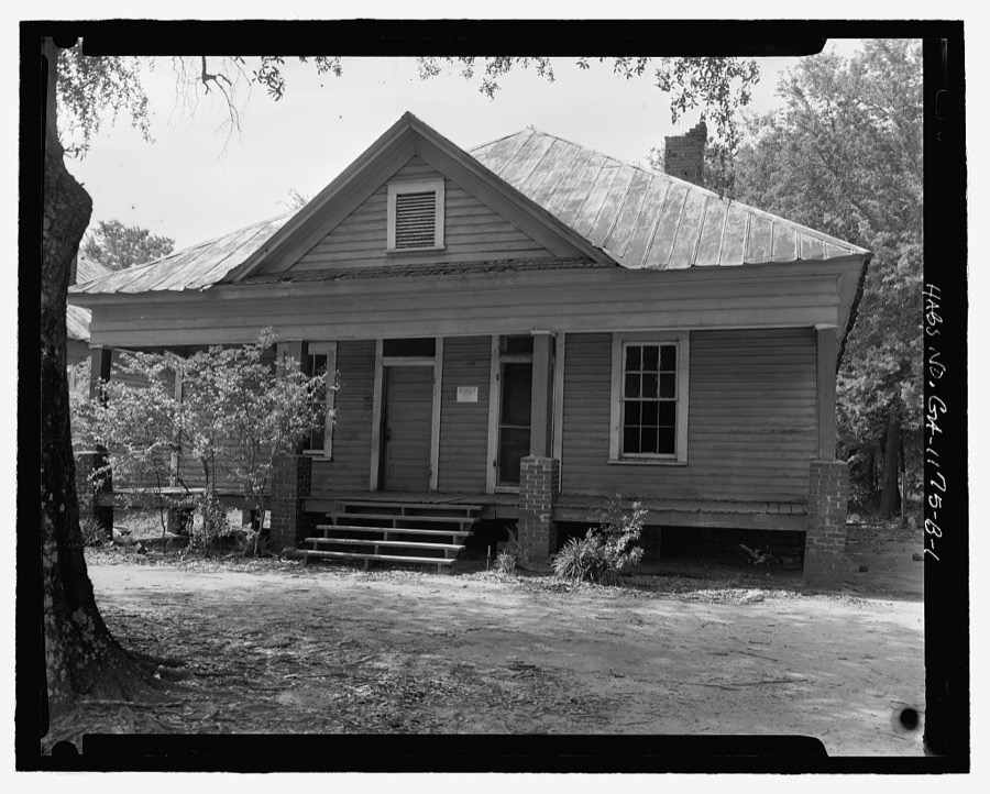
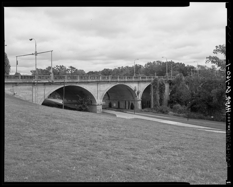
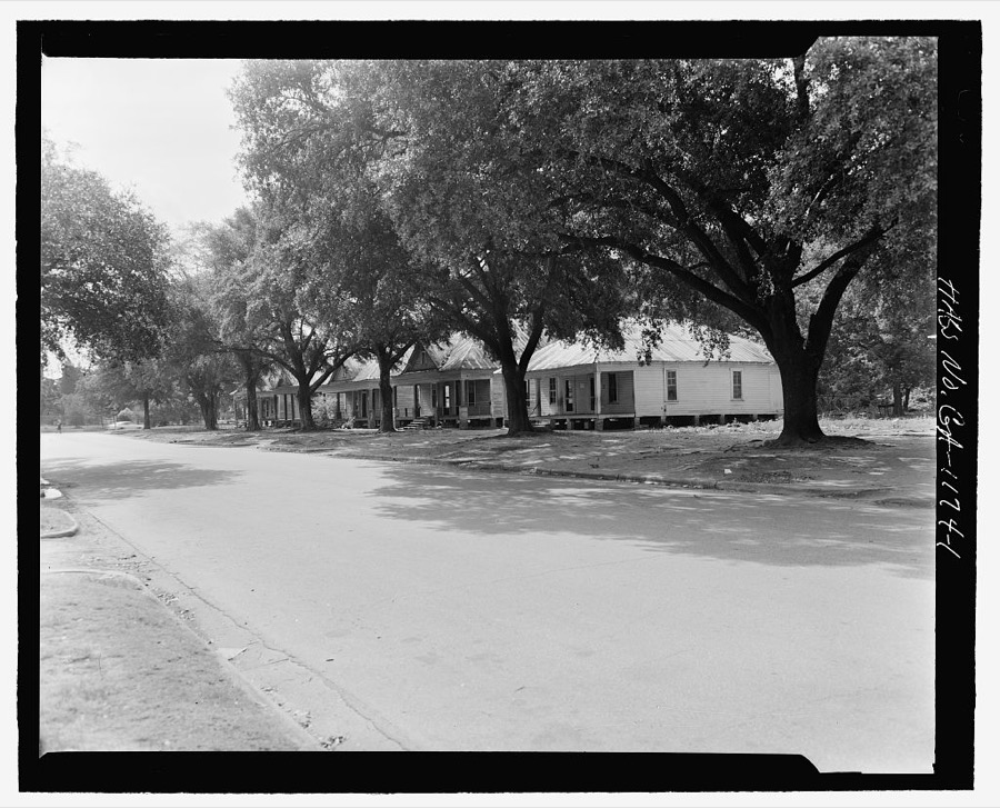
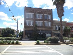
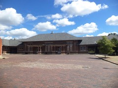
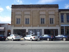
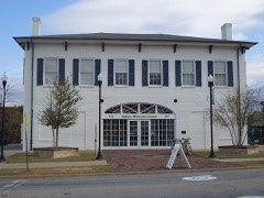
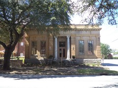
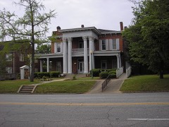
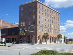
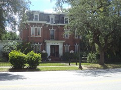
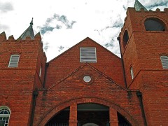
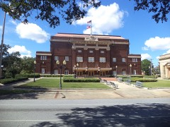
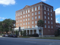
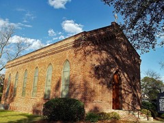
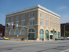
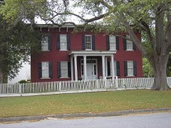
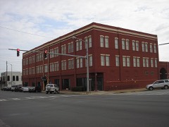
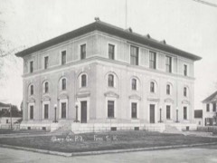
Every property in this county listed on the National Register of Historic Places, with the year it was listed and the federal nomination document.
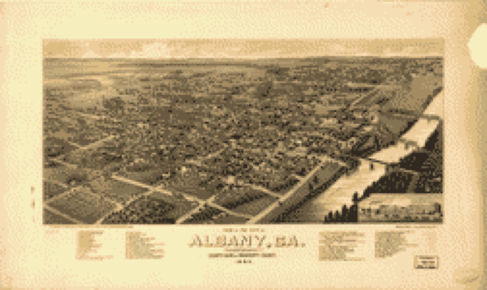
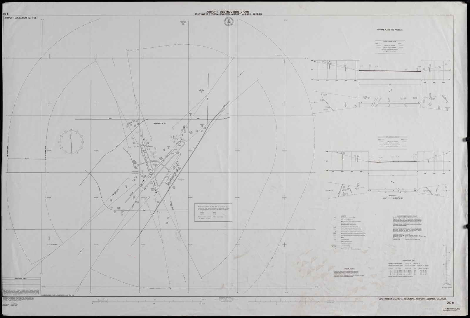
Drawn when these were printed as single large sheets: the town seen from the air, and the county divided into its farms with every owner named. Each opens the original at the Library of Congress.
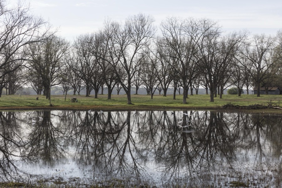
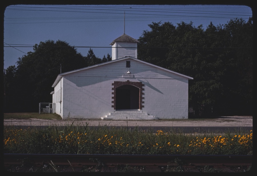
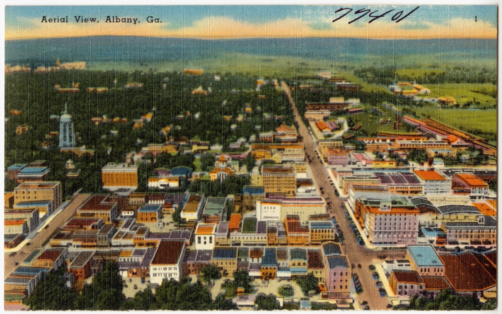
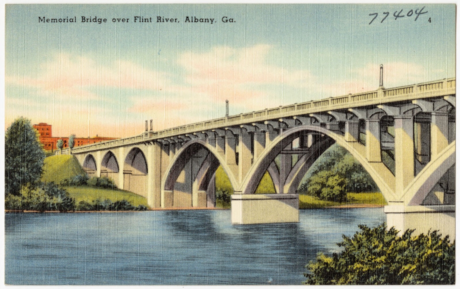
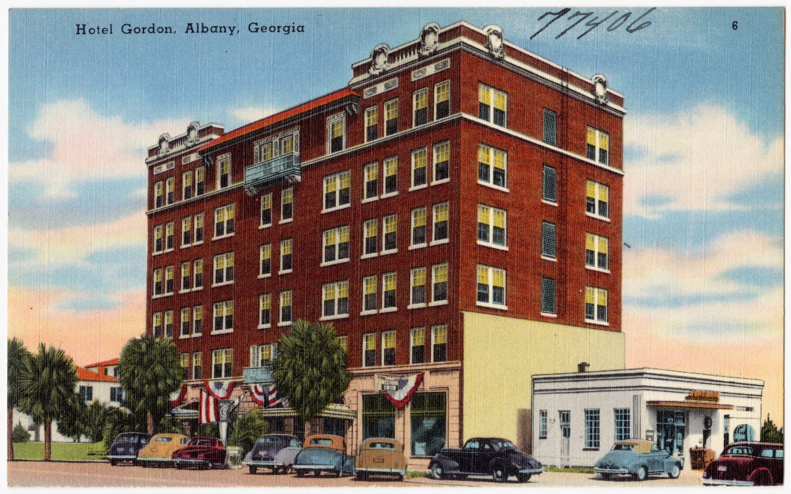
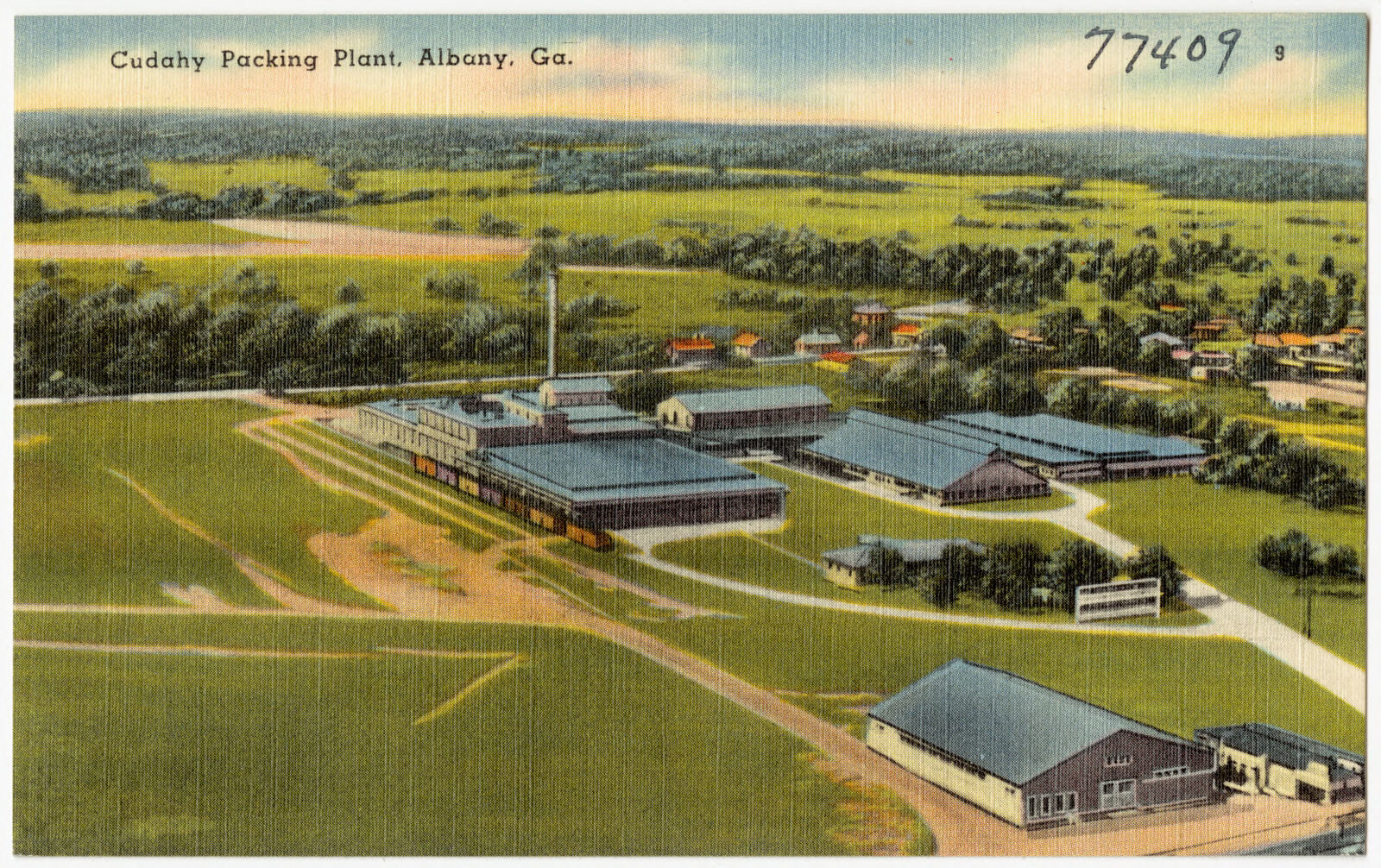
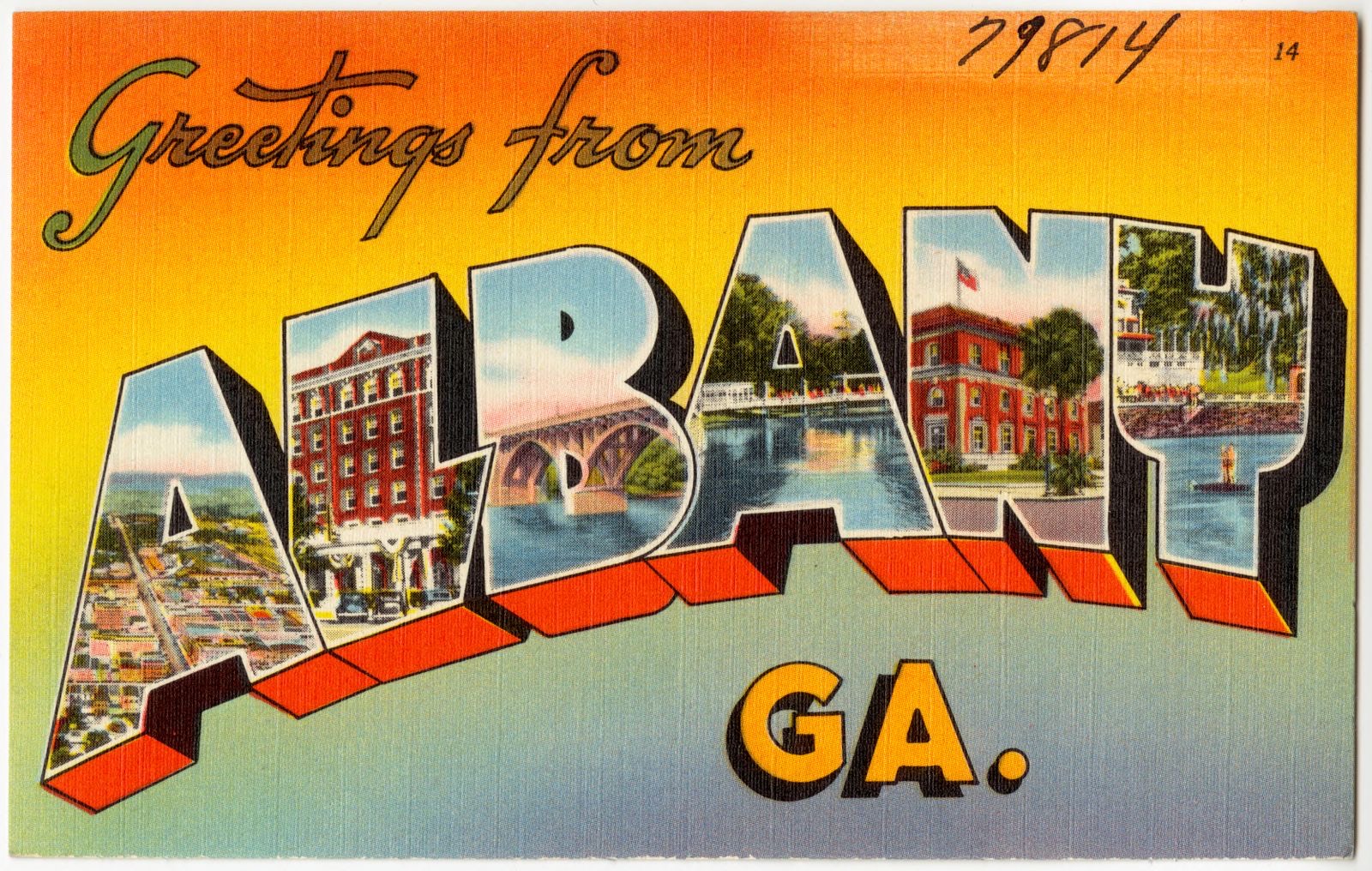
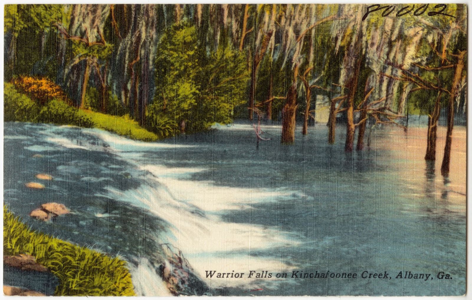
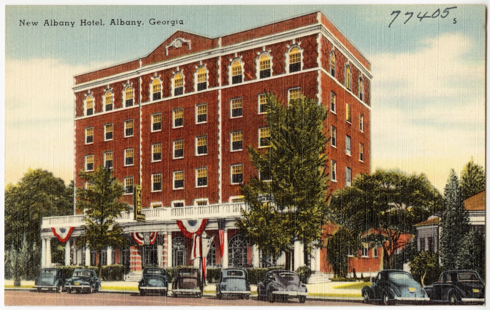
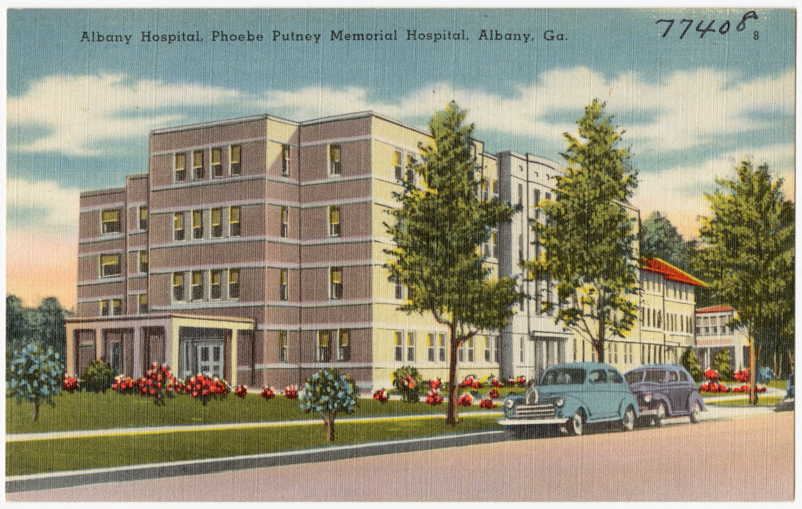
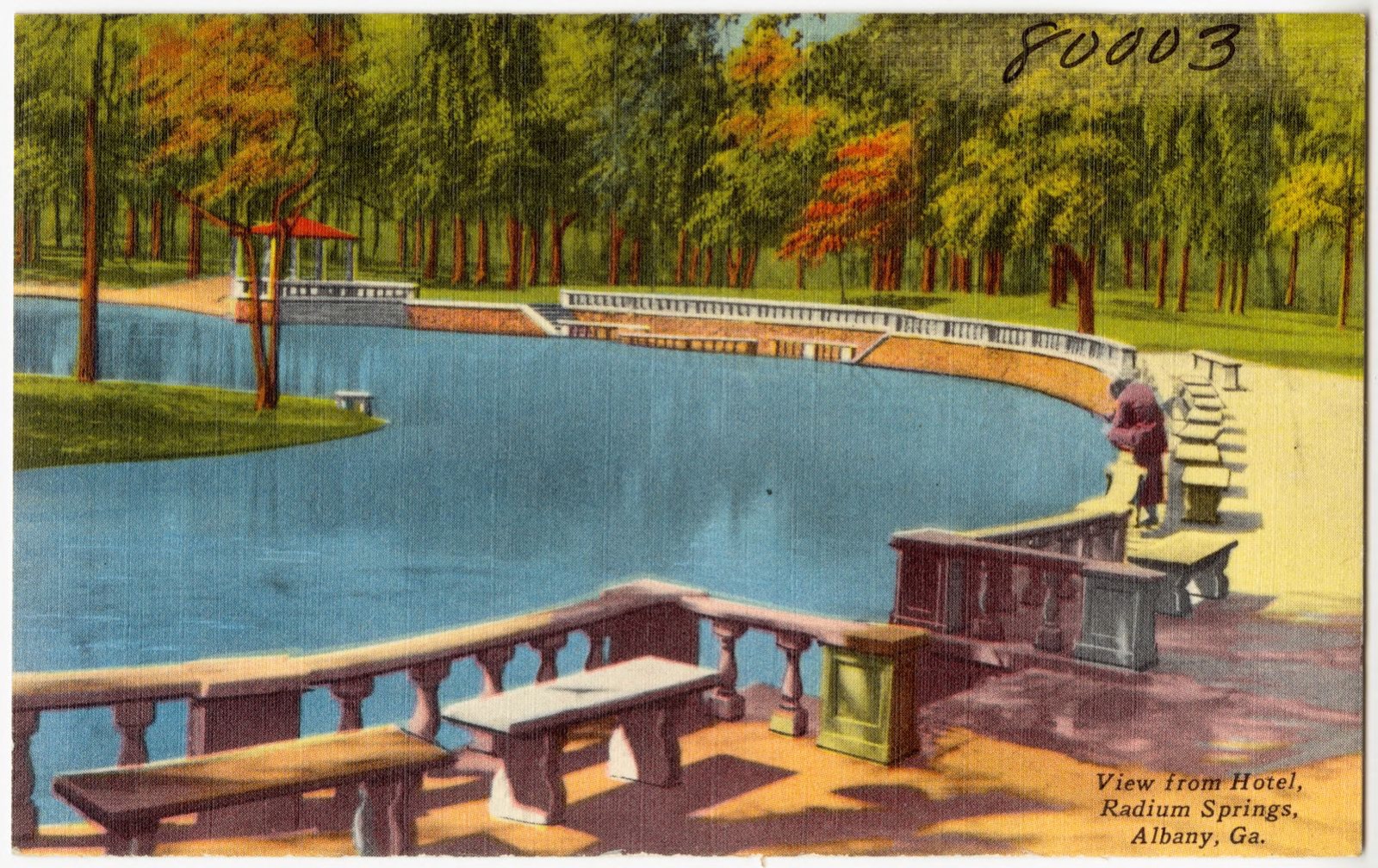
Selected from the Digital Public Library of America's 16 image records catalogued for this county. Every one shown here carries a public-domain status or a licence that permits reuse on a site that carries advertising; non-commercial, share-alike and restricted images are excluded. The selection is spread across the county's towns (at most eight per town), so no single institution's bulk upload crowds out the rest. Each opens the holding library's record, and the complete set at the Digital Public Library of America is one click away.
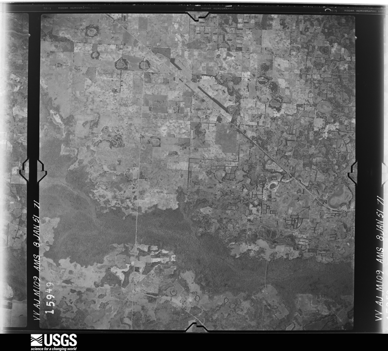
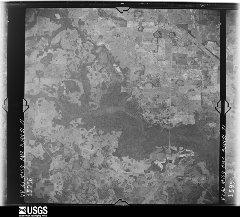
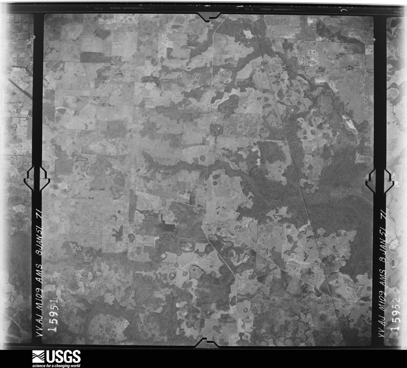
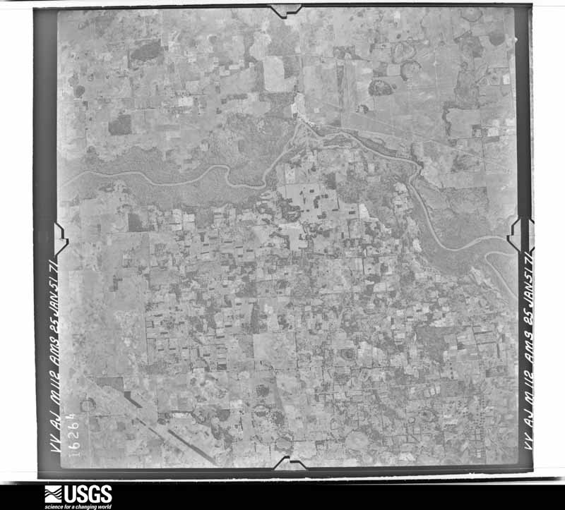
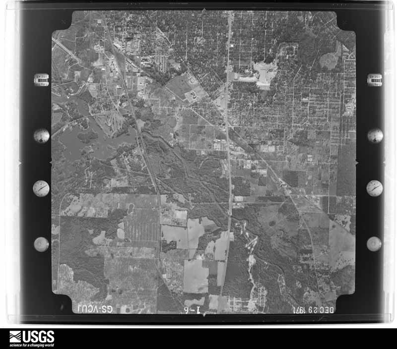
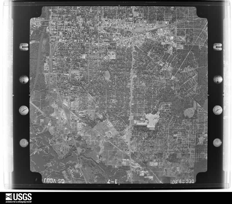
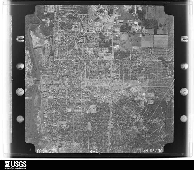
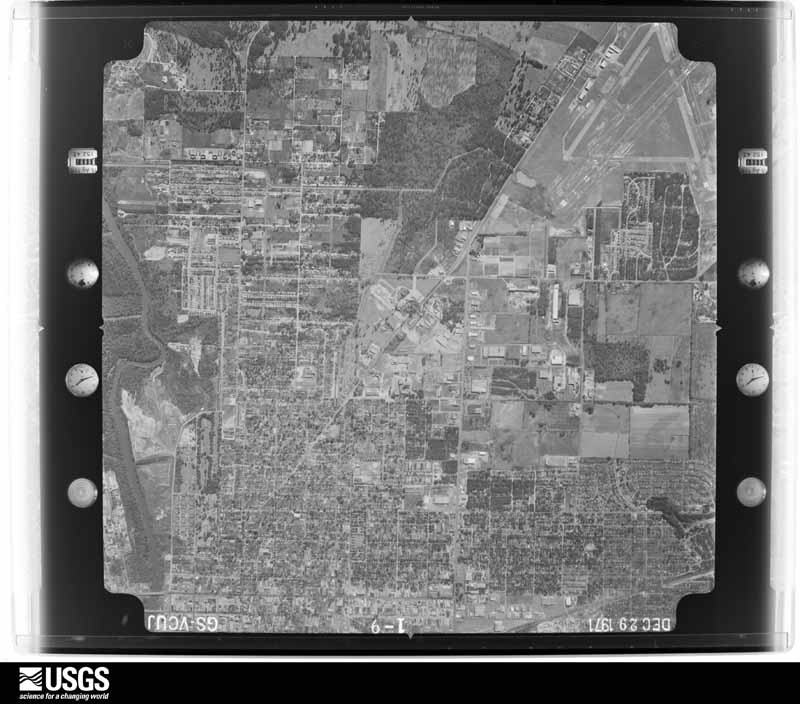
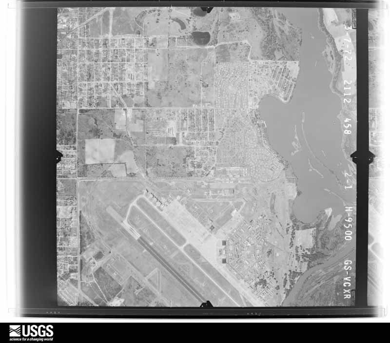
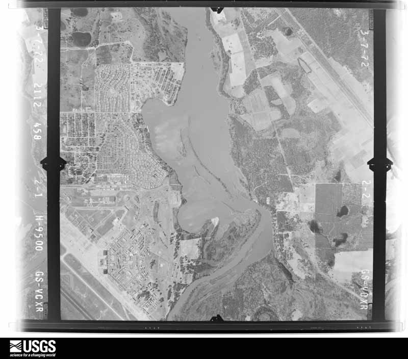
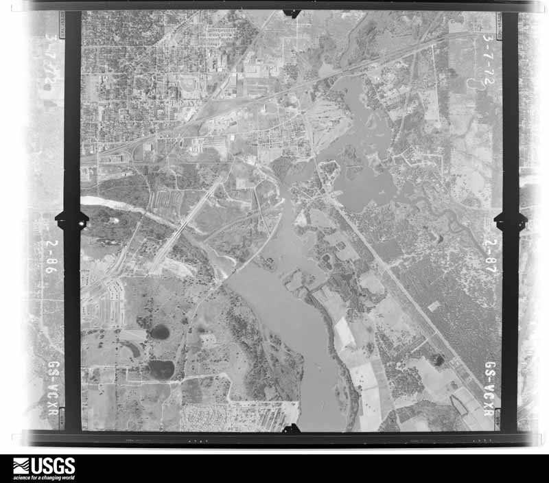
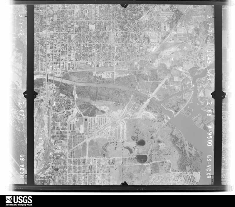
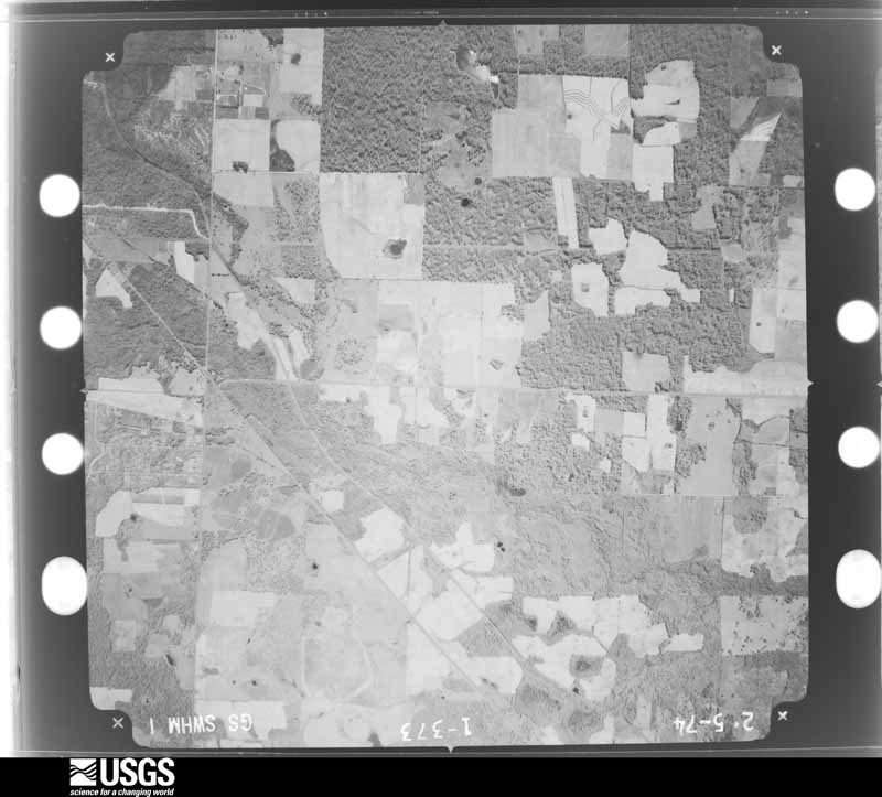
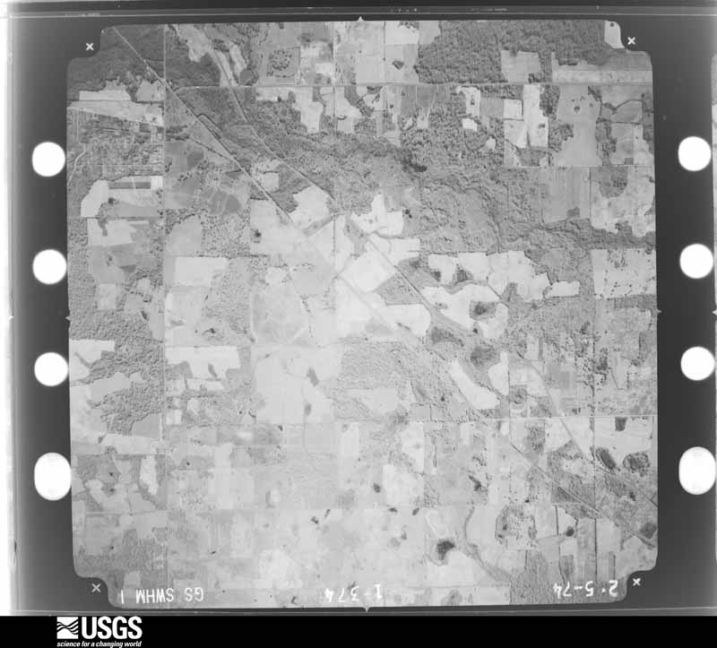
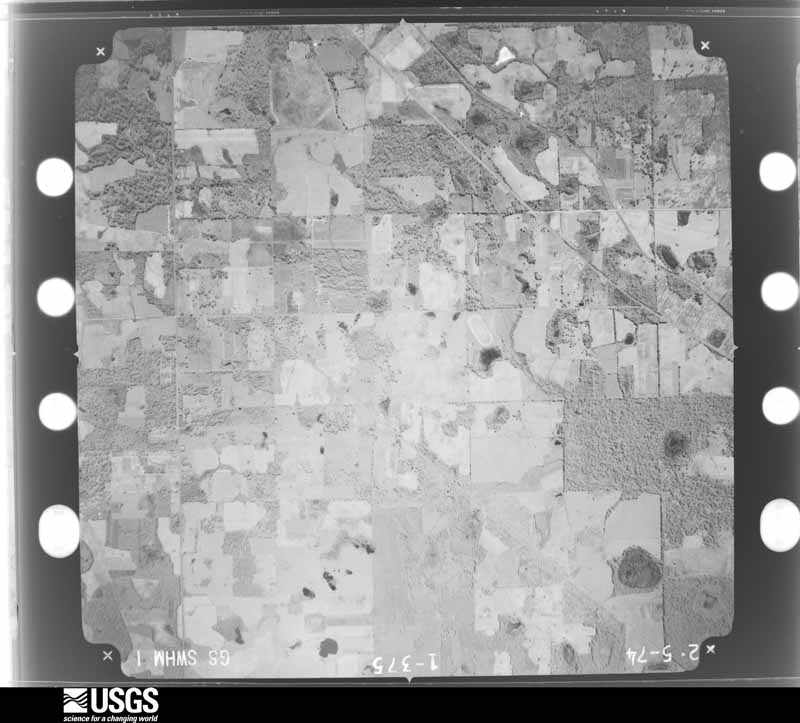
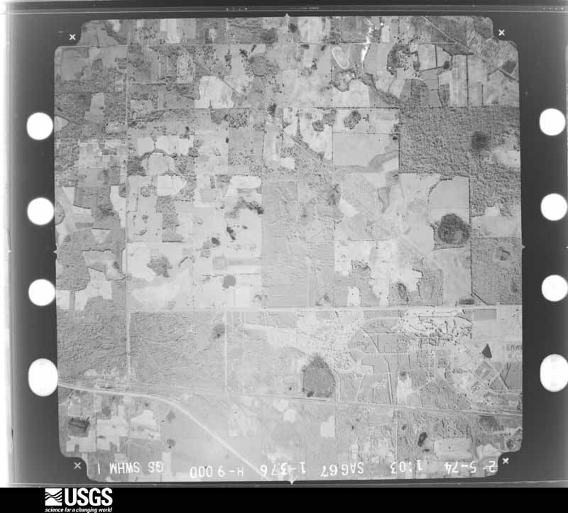
Flown by the U.S. Geological Survey between 1937 and 1989, the Aerial Photo Single Frames collection is the definitive mid-century view of the land: fields, roads and rivers as the camera saw them. The Survey holds 406 frames inside the rectangle that bounds this county; the 16 frames below were taken over the county itself, chosen across the decades of flights (at most four a year from that rectangle), so one flight cannot crowd out the rest. The full set is free to browse and download at EarthExplorer under the dataset Aerial Photo Single Frames.
The thermometers that kept this county's weather, and the gages that measured the flow of its streams, as the federal records hold them. The extremes below are measured values from those records, not estimates.
Who lived here in 1950, one enumeration district at a time, as the Census Bureau described each district. Each row opens its official National Archives result, with Population Schedules and ED Maps available there.
Every wildfire the federal occurrence database records inside this county: 835 of them, burning about 4,134 acres. 16 started naturally and 109 were recorded as arson. Each settlement page carries the fires within five miles of it.
| Reported cause | Fires |
|---|---|
| Debris and open burning | 435 |
| Arson/incendiarism | 109 |
| Railroad operations and maintenance | 93 |
| Equipment and vehicle use | 90 |
| Misuse of fire by a minor | 48 |
| Missing data/not specified/undetermined | 25 |
| Natural | 16 |
| Recreation and ceremony | 12 |
| Smoking | 7 |
The five largest, by the area the report gives. None of them was recorded as arson.
| Date | Cause | Size | Reported by | Name on the report |
|---|---|---|---|---|
| 10 March 1993 | Debris and open burning | 258 acres | Georgia Forestry Commission | not named |
| 7 March 2007 | Debris and open burning | 191 acres | Georgia Forestry Commission | not named |
| 18 March 2004 | Debris and open burning | 118 acres | Georgia Forestry Commission | not named |
| 6 June 2008 | Equipment and vehicle use | 117 acres | Georgia Forestry Commission | not named |
| 16 May 2000 | Debris and open burning | 109 acres | Georgia Forestry Commission | FY2000-DOUGHERTY-063 |
| 14 March 1995 | Debris and open burning | 108 acres | Georgia Forestry Commission | not named |
| 17 June 2011 | Natural | 106 acres | Georgia Forestry Commission | FY2011-DOUGHERTY-026 |
| 14 March 2004 | Debris and open burning | 89 acres | Georgia Forestry Commission | not named |
Every settlement page carries the fires within five miles of it - see the settlement index below.
The NOAA Storm Events Database holds 398 reports for this county, causing 5 deaths, 74 injuries and about $332,230,750 in recorded property damage. Each settlement page carries the reports that name it.
| Kind of event | Reports |
|---|---|
| Thunderstorm Wind | 241 |
| Hail | 63 |
| Flash Flood | 48 |
| Tornado | 19 |
| Flood | 17 |
| Lightning | 6 |
| Heavy Rain | 3 |
| Winter Storm | 1 |
The most serious of them, by death, then injury, then recorded damage. The accounts are quoted exactly as the forecast office filed them.
| When | Event | Place named | Harm | What the report says |
|---|---|---|---|---|
| January 2017 | Tornado (EF3) | Pretoria | 5 killed, 32 hurt, $300,000,000 | A large, long-track tornado touched down near Dougherty/Baker Co. line and traveled over 70 miles across Dougherty, Worth, Turner, and Wilcox Counties in South Georgia. The tornado lifted just east of Abbeville. The tornado caused significant damage along the track, resulting in 5 fatalities in Albany. Severe tree damage was observed along the entire path which was up to 1.2 miles wide. In many spots, 90 to 100 percent of the trees in the path were uprooted or snapped. In Dougherty County, the tornado touched down on Tarva Road. By the time it reached Newton, the tornado was approximately 1.25 miles wide. There was extensive tree damage and some minor to moderate damage to a few homes in this area, consistent with EF2 damage. The tornado moved through the Radium Springs area, destroying nearly every tree in its path and causing EF2 damage to several houses. Most houses in this area had significant damage from falling trees. The tornado then moved through several mobile home parks just west of U.S. 319, destroying many mobile homes and causing the 4 fatalities. Damage consistent with an EF3 tornado was observed just east of U.S. 319. The tornado caused a large portion of a warehouse at the Proctor and Gamble Plant to collapse and tossed several semi-trailers across Mock Road. Additional EF3 damage was observed at the Marine Corp Logistics Base, where multiple anchored double-wide trailers were completely destroyed. In addition, several concrete light poles were snapped near the base, and a large solid concrete building had its solid concrete roof shifted more than 2 inches. A well-built concrete block church on Sylvester Rd was demolished with only parts of a few walls remaining. The estimated wind speed at this point is 150 mph, the highest analyzed along the track. EF3 damage was also observed on Harris Road where a cement block church was destroyed. Damage estimates exceeded $300 million according to a media article citing the Dougherty County Commissioner. |
| November 1995 | Tornado (F2) | Albany | 36 hurt, $10,000,000 | A tornado first touched down on the north side of the Albany Dougherty County Airport then moved east north-east for five miles to just past U.S. Highway 19. In two spots along the path the tornado lifted briefly. One of these breaks in the damage path occurred at an elementary school that was in session. The worst damage was to a Winn Dixie grocery store where many of the 36 injuries occurred. One side of the store was pulled out and collapsed to the side parking area. In the parking lot, numerous cars were moved about and a few turned over. Over 40 homes were destroyed with over 50 more severely damaged. Five businesses were severely damaged. |
| December 2002 | Thunderstorm Wind | Albany | 1 hurt, $250,000 | Straight-line winds damaged several homes, an apartment complex, and downed numerous trees and power lines. One person suffered minor injuries. Reported by GEMA and SKYWARN spotter. |
| May 1989 | Tornado (F1) | not stated | 1 hurt, $250,000 | no account filed |
| February 1966 | Tornado (F1) | not stated | 1 hurt, $25,000 | no account filed |
| April 1961 | Tornado (F2) | not stated | 1 hurt, $25,000 | no account filed |
| January 1952 | Tornado (F1) | not stated | 1 hurt, $25,000 | no account filed |
| July 2000 | Thunderstorm Wind | Albany | 1 hurt, $10,000 | A large tree fell onto a vehicle injuring the driver. Several trees and power lines down in Albany. Reported by the Dougherty County EMA. |
| January 2017 | Thunderstorm Wind | Lockett Crossing | $17,000,000 | A severe thunderstorm produced a 3 to 4 mile swath of 80 to 85 mph winds across the northern half of Albany proper, causing widespread damage across the city. The NWS damage survey team found hundreds of snapped and/or uprooted trees, minor to moderate roof damage to structures and buildings, and occasional instances of extensive damage to wide-span metal roofs in areas throughout the city. Much of the severe structural damage surveyed was a result of trees falling onto structures and powerlines, especially in the Rawson Circle area, where the roads are canopied by old oak trees. The downed trees across the city were oriented in the same direction. This, along with examination of radar data from the event suggests that the damage was caused by straight line winds. Dougherty county received FEMA aid for this event due to damage cost exceeding the local threshold of $16 million. |
| April 2009 | Flood | Albany | $750,000 | Minor to moderate flooding along the Flint River impacted several dozen homes in the Radium Springs, Hampton and Lovers Lane at Lake Worth. Five county roads were closed. The Albany public works department was pumping 62 million gallons of water during the event. |
| December 2000 | Tornado (F2) | Albany | $750,000 | An F2 tornado damaged the main house and several surrounding structures at Abigail Plantation off Old Tallahassee Road, as well as several other homes on Old Dawson and Springhill Roads. Hundreds of plantation trees were uprooted. Downed power poles affected 300 customers in northwest Albany. A few storage buildings were damaged at the Cookville Trailer Park just west of Albany. Reported by the Dougherty County Police and WALB-TV Albany. |
| May 1995 | Thunderstorm Wind | Albany | $600,000 | Thunderstorm winds caused roof damage to more than 30 homes, as well as two car dealerships. At one of the dealerships, flying debris from the roof damage more than 30 cars. A family of seven had to be relocated after their roof was completely destroyed by a falling tree. |
| March 2000 | Flash Flood | Albany | $500,000 | Isolated intense thunderstorms deposited up to five inches of rain within a two-hour period over downtown Albany, just west of the Flint River. The flood waters backed up the city's storm water system for residents of West Second Avenue and Eugemar Drive. The result was a severed water main, three sink holes, several flooded vehicles, and some water damage to homes and a nearby church. Rapidly gushing rainwater reversed the sewer flow sending a small river of raw sewage through the hallways of the Albany PD. The weight of the sudden downpour of rainwater collapsed the roof of a warehouse at 122 Pine Avenue where the Albany Herald stored rolls of newsprint. Reported by the Albany Herald. |
| March 2007 | Tornado (EF2) | Putney | $300,000 | The EF-2 tornado continued on its northeast track from northern Mitchell County into southeastern Dougherty County. It ripped carports and roof shingles off several homes on County Line Road and Jenkins Road. It also snapped hundreds of trees before it crossed into western Worth County. Ten homes suffered minor damage and two were heavily damaged. |
| November 1992 | Tornado (F1) | not stated | $250,000 | no account filed |
| March 2026 | Thunderstorm Wind | Albany | $100,000 | Numerous trees and power lines were blown down with some trees on residences. |
| June 2023 | Flash Flood | Albany | $100,000 | There were multiple vehicles flooded in Albany which required rescue. |
| August 2022 | Thunderstorm Wind | Albany | $100,000 | Significant structural damage to a church occurred in downtown Albany due to a downburst. Part of the roof was blown off. |
| July 2015 | Thunderstorm Wind | Albany | $100,000 | A severe storm produced a microburst over portions of northern Albany. Numerous trees and power lines were blown down in a swath from Lovers Lane Road southwest to the Avalon United Methodist Church off Gillionville Road where the steeple was blown over. Pictures from the area near Stonewater Drive showed trees down across neighborhood roads. Some trees were blown down on houses and cars. Monetary damage was estimated. |
| May 2006 | Thunderstorm Wind | Countywide | $75,000 | There were numerous reports of downed trees and power lines throughout the county. A fallen tree heavily damaged three vehicles and tore down utility lines on West Lincoln Avenue in Albany. A large tree fell across Robinhood Road in northwest Albany. Reported by Dougherty County 911. |
| September 2004 | Tornado (F0) | Williamsburg | $75,000 | A weak tornado touched down just east of Williamsburg. Several homes near Gravel Hill Road sustained minor damage. Highway 133 near Pecan City was closed due to downed trees. Reported by a SKYWARN storm spotter. |
| January 2016 | Flood | Albany | $50,000 | Flooding along the Flint River near Albany crested on January 2nd in the moderate flood stage category. Highland Avenue and some cottages at Lovers Lane Road at Lake Chehaw saw some flooding along with several other roads in the area. Damage was estimated. |
| March 2014 | Lightning | Albany | $50,000 | Lightning caused a house fire in Albany. Monetary damage was estimated. |
| June 2014 | Thunderstorm Wind | Albany | $50,000 | A large tree fell on a house in Albany at 10th Ave. Monetary damage was estimated. |
| February 2012 | Thunderstorm Wind | Albany | $50,000 | Trees were down around Albany with power outages reported. WALB also reported on their facebook page that a tree fell on a home in Albany and the couple inside the home was displaced. Monetary damage was estimated. |
| September 2011 | Thunderstorm Wind | Lockett Crossing | $50,000 | WALB News 10 reported a large oak tree had blocked Byron Plantation Road and a transformer blew due to high winds near Pine Manor Lane. The article also stated that several residents of Albany sustained thousands of dollars of damage when trees fell on their roofs. Total property damage from the storm was estimated. |
| June 2008 | Thunderstorm Wind | Albany | $50,000 | Straight line winds toppled numerous trees and power lines across the city. An estimated 1,000 residents were without power. The storm disrupted the city's 911 computer and telephone capabilities. Several homes sustained minor damage on the west and northwest edge of Albany. |
| June 1998 | Thunderstorm Wind | Albany | $50,000 | Straight-line winds toppled two large trees down in the northwest section of Albany. Lightning and downed power lines ignited several small fires. One storage shed was destroyed by fire. |
| June 2010 | Thunderstorm Wind | (Aby)Southwest Ga Rgnl Arpt | $45,000 | A 74 mph gust was measured at the Albany Southwest Georgia Regional Airport from a thunderstorm downburst. This downburst also extended northeast of the airport to 1701 S Slappey Blvd where the Albany Herald Newspaper reported that a roof was peeled back and a steeple was toppled at the Harvest Kingdom Jubilee Ministries Church. Several cars were also damaged from the debris. The monetary damage figure provided is a rough estimate. |
| January 2017 | Thunderstorm Wind | (Aby)Southwest Ga Rgnl Arpt | $40,000 | A stop sign blew over and a tree fell on top of 2 cars on Gleneagles Drive. Damage cost was estimated. |
| February 2012 | Thunderstorm Wind | (Aby)Southwest Ga Rgnl Arpt | $30,000 | A tree fell onto a house and a car on Homestead Avenue. Monetary damage was estimated. |
| February 2016 | Thunderstorm Wind | Lockett Crossing | $25,000 | Two trees fell on a home on the 2800 block of Doublegate Drive. Damage was estimated. |
| April 1973 | Tornado (F1) | not stated | $25,000 | no account filed |
| August 1965 | Tornado (F2) | not stated | $25,000 | no account filed |
| April 2011 | Thunderstorm Wind | Albany | $20,000 | Trees and power lines were blown down across the county. The monetary damage figure provided is a rough estimate. |
| August 2003 | Lightning | East Albany | $20,000 | Lightning struck a 300-foot emergency communications tower, which knocked the primary and backup 911 systems offline for 20 hours. Reported by the Albany Herald. |
| May 2002 | Thunderstorm Wind | Albany | $20,000 | Several downed trees and large signs. A small tower was destroyed. Reported by WFXL-TV. |
| June 2018 | Thunderstorm Wind | Albany | $15,000 | A tree fell on a vehicle in the Albany area. No injuries were reported. |
| April 2017 | Thunderstorm Wind | Albany | $15,000 | A tree was blown down onto a home on Doncaster Road. |
| January 2012 | Thunderstorm Wind | Lockett Crossing | $15,000 | A large pine tree fell onto the roof of a house on Dunaway Drive. The tree leveled the kitchen pantry and also damaged part of the garage. Monetary damage was estimated. |
| February 2000 | Thunderstorm Wind | Albany | $15,000 | Numerous trees and power lines down. Scattered power outages. Reported by a ham radio operator. |
| July 1995 | Thunderstorm Wind | Albany | $15,000 | Thunderstorm winds blew five large pine trees down. Fallen trees were responsible for 700 people losing electricity, as well as causing minor damage to several homes. |
| March 2026 | Thunderstorm Wind | East Albany | $10,000 | A metal roof was blown off on the Albany 8 Inn. |
| June 2025 | Thunderstorm Wind | Turner City | $10,000 | Thunderstorm winds blew apart a portion of the brick facade on the north facing side of a church building in the 3500 block of Sylvester Highway. |
| January 2024 | Thunderstorm Wind | Albany | $10,000 | A tree fell on a vacant home in Dougherty county. |
| April 2017 | Thunderstorm Wind | Albany | $10,000 | A power pole was blown down onto a car on North Harding Street. |
| July 2015 | Thunderstorm Wind | Albany | $10,000 | Wires were blown down in a swath from near the 1700 block of Lynwood to the 2200 block of Champagne Lane to the 2800 block of Westgate Drive to the 2200 block of Chatham Drive. There were also trees down near Chatham Drive and Beatie Road. These reports were relayed through WFXL-TV. Damage was estimated. |
| June 2006 | Thunderstorm Wind | Albany | $10,000 | A county official reported some downed trees and power lines, including several power outages. |
| August 1999 | Thunderstorm Wind | Northeast Portion | $10,000 | WALB-TV Albany reported numerous downed trees and power lines. |
| October 1997 | Tornado (F0) | Albany | $10,000 | F0 tornado touchdown just southwest of Albany near Walker. Roof damage and scattered debris along 1600 block of Oakridge Road. Minor structural damage to a warehouse and church. Numerous trees down. |
| May 2012 | Thunderstorm Wind | Albany | $8,000 | At least 8 trees were blown down around the city of Albany. Monetary damage was estimated. |
| June 2016 | Lightning | Turner City | $7,000 | Lightning damaged the roof of a home along the 900 block of River Pointe Drive. Damage was estimated. |
| January 2012 | Lightning | Albany | $7,000 | Lightning struck Doc Heilinbel's Pharmacy at 2409 Dawson Road. The lightning knocked plywood off of the building and damaged part of the steeple. Witnesses said sparks flew from the roof. Some damage to electronics also occurred, and electricians repaired that damage the following day. The exact time of the strike and the monetary damage were estimated. |
| August 2012 | Thunderstorm Wind | Albany | $7,000 | FOX31 reported that a tree fell on a home at 1122 West Whitney Avenue. The tree landed in the dining area of the home destroying several windows and causing some damage to the room. There were no injuries reported to the family despite them being in the home at the time. Monetary damage was estimated. |
| July 2015 | Lightning | East Albany | $5,000 | Lightning struck a residence along Blaylock Street. Damage was estimated. |
| May 2012 | Thunderstorm Wind | Putney | $5,000 | A 10x14 metal shed was destroyed along with minor roof damage. Monetary damage was estimated. |
| July 2012 | Thunderstorm Wind | Albany | $5,000 | Trees and power lines were blown down. Monetary damage was estimated. |
| March 2011 | Thunderstorm Wind | East Albany | $5,000 | A billboard was blown down onto a car on Liberty Expressway. The monetary damage provided is a rough estimate. |
| February 2009 | Thunderstorm Wind | Albany | $5,000 | A few large trees were down on the 1800 block of Dawson Road. At Dawson Road and Greenwood Drive, the top of a large pine tree snapped and downed power lines and shattered a nearby street lamp. |
| June 2004 | Thunderstorm Wind | Countywide | $5,000 | Downed trees and power lines countywide reported by a WALB-TV meteorologist. |
The Survey's mineral resources record lists 4 workings inside this county. 3 still produce and 1 is closed or unrecorded. Each settlement page carries the workings within five miles of it.
| Commodity | Workings |
|---|---|
| Sand and Gravel, Construction | 4 |
The least common of them first, because a county's hundredth gravel pit says nothing its first ten did not.
| Where | Site | Commodity | Status | Recorded |
|---|---|---|---|---|
| Albany Mine | Sand and Gravel, Construction | Producer | ||
| Albany Mine | Sand and Gravel, Construction | Producer | ||
| Oxford Mine | Sand and Gravel, Construction | Past Producer | ||
| Southern Mine | Sand and Gravel, Construction | Producer |
Named settlements recorded in the Geographic Names Information System, each with the topographic sheets covering it. Villages, hamlets and abandoned places alike. Each is shown with the nearest named watercourse or landform and the survey quadrangle it falls on. The 1 place that was also surveyed for fire insurance comes first, with the number of atlases and photographs held for them.
West Dougherty census division · 31701 · Near Fossil Sand Dunes (historic) · Albany West quadrangle
13 sheets, 1953 to 1997
Fire insurance: 9 atlases
West Dougherty census division · 31707 · Albany West quadrangle
13 sheets, 1953 to 1997
West Dougherty census division · 31721 · Albany West quadrangle
13 sheets, 1953 to 1997
East Dougherty census division · 31705 · Near Fossil Sand Dunes (historic) · Albany East quadrangle
12 sheets, 1953 to 1981
West Dougherty census division · 31707 · On Kinchafoonee Creek · Albany West quadrangle
13 sheets, 1953 to 1997
East Dougherty census division · 31705 · Albany East quadrangle
12 sheets, 1953 to 1981
East Dougherty census division · 31705 · On Muckafoonee Creek · Albany East quadrangle
12 sheets, 1953 to 1981
West Dougherty census division · 31701 · Albany West quadrangle
13 sheets, 1953 to 1997
West Dougherty census division · 31707 · Albany West quadrangle
13 sheets, 1953 to 1997
West Dougherty census division · 31701 · Albany West quadrangle
13 sheets, 1953 to 1997
West Dougherty census division · 31701 · Near Fossil Sand Dunes (historic) · Albany West quadrangle
13 sheets, 1953 to 1997
West Dougherty census division · 31701 · Albany West quadrangle
13 sheets, 1953 to 1997
East Dougherty census division · 31705 · Near Fossil Sand Dunes (historic) · Albany West quadrangle
13 sheets, 1953 to 1997
West Dougherty census division · 31707 · Albany West quadrangle
13 sheets, 1953 to 1997
West Dougherty census division · 31707 · Albany West quadrangle
13 sheets, 1953 to 1997
East Dougherty census division · 31705 · Near Fossil Sand Dunes (historic) · Albany West quadrangle
13 sheets, 1953 to 1997
East Dougherty census division · 31705 · Near Fossil Sand Dunes (historic) · Albany East quadrangle
12 sheets, 1953 to 1981
West Dougherty census division · 31721 · On Mud Creek · Pretoria quadrangle
10 sheets, 1953 to 1981
East Dougherty census division · 31705 · Near Fossil Sand Dunes (historic) · Albany East quadrangle
12 sheets, 1953 to 1981
East Dougherty census division · 31705 · On Muckafoonee Creek · Albany West quadrangle
13 sheets, 1953 to 1997
East Dougherty census division · 31705 · Albany East quadrangle
12 sheets, 1953 to 1981
East Dougherty census division · 31705 · Near Fossil Sand Dunes (historic) · Albany West quadrangle
13 sheets, 1953 to 1997
East Dougherty census division · 31705 · Near Fossil Sand Dunes (historic) · Albany West quadrangle
13 sheets, 1953 to 1997
West Dougherty census division · 31707 · On Kinchafoonee Creek · Albany West quadrangle
13 sheets, 1953 to 1997
West Dougherty census division · 31707 · Albany West quadrangle
13 sheets, 1953 to 1997
West Dougherty census division · 31721 · Pretoria quadrangle
10 sheets, 1953 to 1981
West Dougherty census division · 31701 · Near Fossil Sand Dunes (historic) · Albany West quadrangle
13 sheets, 1953 to 1997
West Dougherty census division · 31707 · Albany West quadrangle
13 sheets, 1953 to 1997
West Dougherty census division · 31701 · On Kinchafoonee Creek · Albany West quadrangle
13 sheets, 1953 to 1997
West Dougherty census division · 31707 · Albany West quadrangle
13 sheets, 1953 to 1997
West Dougherty census division · 31707 · Albany West quadrangle
13 sheets, 1953 to 1997
West Dougherty census division · 31707 · On Kinchafoonee Creek · Albany West quadrangle
13 sheets, 1953 to 1997
West Dougherty census division · 31701 · On Muckafoonee Creek · Albany West quadrangle
13 sheets, 1953 to 1997
East Dougherty census division · 31705 · Albany West quadrangle
13 sheets, 1953 to 1997
No longer a settlement
East Dougherty census division · 31705 · Near Fossil Sand Dunes (historic) · Albany East quadrangle
12 sheets, 1953 to 1981
East Dougherty census division · 31705 · Near Fossil Sand Dunes (historic) · Albany East quadrangle
12 sheets, 1953 to 1981
East Dougherty census division · 31705 · Near Fossil Sand Dunes (historic) · Albany West quadrangle
13 sheets, 1953 to 1997
West Dougherty census division · 31707 · On Kinchafoonee Creek · Albany West quadrangle
13 sheets, 1953 to 1997
West Dougherty census division · 31701 · On Kinchafoonee Creek · Albany West quadrangle
13 sheets, 1953 to 1997
West Dougherty census division · 31701 · Albany West quadrangle
13 sheets, 1953 to 1997
West Dougherty census division · 31721 · Pretoria quadrangle
10 sheets, 1953 to 1981
East Dougherty census division · 31705 · Near Fossil Sand Dunes (historic) · Albany West quadrangle
13 sheets, 1953 to 1997
East Dougherty census division · 31705 · Albany West quadrangle
13 sheets, 1953 to 1997
East Dougherty census division · 31705 · Near Fossil Sand Dunes (historic) · Albany West quadrangle
13 sheets, 1953 to 1997
East Dougherty census division · 31705 · Near Fossil Sand Dunes (historic) · Albany West quadrangle
13 sheets, 1953 to 1997
West Dougherty census division · 31707 · On Kinchafoonee Creek · Albany West quadrangle
13 sheets, 1953 to 1997
East Dougherty census division · 31705 · Near Fossil Sand Dunes (historic) · Albany West quadrangle
13 sheets, 1953 to 1997
West Dougherty census division · 31701 · On Muckafoonee Creek · Albany West quadrangle
13 sheets, 1953 to 1997
West Dougherty census division · 31701 · On Kinchafoonee Creek · Albany West quadrangle
13 sheets, 1953 to 1997
West Dougherty census division · 31701 · On Kinchafoonee Creek · Albany West quadrangle
13 sheets, 1953 to 1997
West Dougherty census division · 31707 · Albany West quadrangle
13 sheets, 1953 to 1997
West Dougherty census division · 31707 · Albany West quadrangle
13 sheets, 1953 to 1997
East Dougherty census division · 31705 · Near Fossil Sand Dunes (historic) · Albany East quadrangle
12 sheets, 1953 to 1981
East Dougherty census division · 31705 · Albany East quadrangle
12 sheets, 1953 to 1981
East Dougherty census division · 31705 · Near Fossil Sand Dunes (historic) · Albany East quadrangle
12 sheets, 1953 to 1981
West Dougherty census division · 31721 · Albany West quadrangle
13 sheets, 1953 to 1997
West Dougherty census division · 31721 · Albany West quadrangle
13 sheets, 1953 to 1997
East Dougherty census division · 31705 · Albany East quadrangle
12 sheets, 1953 to 1981
East Dougherty census division · 31705 · Albany West quadrangle
13 sheets, 1953 to 1997
East Dougherty census division · 31705 · Albany West quadrangle
13 sheets, 1953 to 1997
West Dougherty census division · 31701 · Near Fossil Sand Dunes (historic) · Albany West quadrangle
13 sheets, 1953 to 1997
West Dougherty census division · 31701 · On Kinchafoonee Creek · Albany West quadrangle
13 sheets, 1953 to 1997
West Dougherty census division · 31707 · Albany West quadrangle
13 sheets, 1953 to 1997
East Dougherty census division · 31705 · Near Fossil Sand Dunes (historic) · Albany West quadrangle
13 sheets, 1953 to 1997
East Dougherty census division · 31705 · On Dry Creek · Baconton North quadrangle
11 sheets, 1953 to 1981
West Dougherty census division · 31701 · Near Fossil Sand Dunes (historic) · Albany West quadrangle
13 sheets, 1953 to 1997
East Dougherty census division · 31705 · Near Fossil Sand Dunes (historic) · Albany West quadrangle
13 sheets, 1953 to 1997
West Dougherty census division · 31721 · Albany West quadrangle
13 sheets, 1953 to 1997
East Dougherty census division · 31705 · Albany East quadrangle
12 sheets, 1953 to 1981
East Dougherty census division · 31705 · Albany East quadrangle
12 sheets, 1953 to 1981
No longer a settlement
West Dougherty census division · 31721 · Albany West quadrangle
13 sheets, 1953 to 1997
East Dougherty census division · 31705 · Near Fossil Sand Dunes (historic) · Albany West quadrangle
13 sheets, 1953 to 1997
West Dougherty census division · 31707 · Albany West quadrangle
13 sheets, 1953 to 1997
East Dougherty census division · 31705 · On Muckafoonee Creek · Albany East quadrangle
12 sheets, 1953 to 1981
East Dougherty census division · 31705 · Albany East quadrangle
12 sheets, 1953 to 1981
West Dougherty census division · 31721 · Albany West quadrangle
13 sheets, 1953 to 1997
West Dougherty census division · 31701 · Albany West quadrangle
13 sheets, 1953 to 1997
West Dougherty census division · 31701 · Albany West quadrangle
13 sheets, 1953 to 1997
West Dougherty census division · 31707 · On Kinchafoonee Creek · Albany West quadrangle
13 sheets, 1953 to 1997
East Dougherty census division · 31705 · Near Fossil Sand Dunes (historic) · Albany East quadrangle
12 sheets, 1953 to 1981
The vanished settlements of Dougherty County: the places named above that are no longer on the map.
13 topographic sheets and 9 fire insurance atlases, 1885 to 1948
The complete index, with nothing left out. Each of these is a separate record with its own page: a federal survey report, or the case file that argued a property on to the National Register. Both are public domain and reproduced word for word.
The vanished settlements of Dougherty County, the places these records name that are no longer on the map.