 Block
Albany, Georgia
13 topographic sheets cover this place, the earliest surveyed in 1953 and the latest in 1997. It stands in the West Dougherty census division. It lies in ZIP code area 31701. It lies near Fossil Sand Dunes (historic). The Survey maps it on the Albany West quadrangle. 69,647 people lived here at the 2020 count. It stands 203 feet above sea level.
Research this city
On record in Albany
Buildings and businesses the archive holds for this place. Each opens its own page, with the source record it came from.
On the National Register 12 of 22 shown
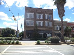 Albany Housefurnishing Companylisted 1982
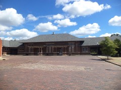 Albany Railroad Depot Historic Districtlisted 1982
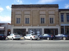 Albany Theatrelisted 2006
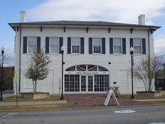 Bridge Houselisted 1974
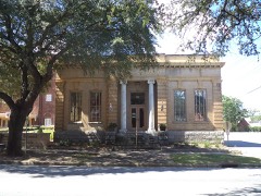 Carnegie Library of Albanylisted 1982
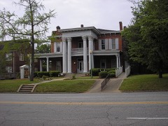 John A. Davis Houselisted 1980
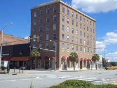 Davis-Exchange Bank Buildinglisted 1984
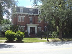 Samuel Farkas Houselisted 1977
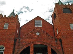 Mount Zion Baptist Churchlisted 1995
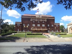 Municipal Auditoriumlisted 1974
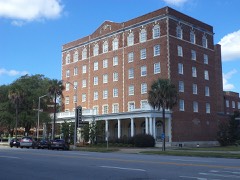 New Albany Hotellisted 1982
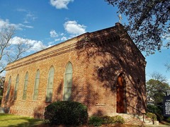 Old St. Teresa's Catholic Churchlisted 1975
Every listing in Dougherty County
Surveyed buildings and structures 9 records
- 503 South Jackson Street (House), 503 South Jackson Street, Albanyfederal building survey, 3 photographs
- 505 South Jackson Street (House), 505 South Jackson Street, Albanyfederal building survey, 2 photographs
- Broad Avenue Memorial Bridge, Spanning the Flint River at Broad Avenue, Albanyfederal building survey, 40 photographs
- I. B. Callaway Estate, 308 Mercer Avenue, Albanyfederal building survey, 6 photographs
- Sam Farkas Estate, House, 300 Mercer Avenue, Albanyfederal building survey, 3 photographs
- Sam Farkas Estate, House, 302 Mercer Avenue, Albanyfederal building survey, 3 photographs
- Sam Farkas Estate, House, 304 Mercer Avenue, Albanyfederal building survey, 1 photograph
- Sam Farkas Estate, House, 306 Mercer Avenue, Albanyfederal building survey, 1 photograph
- South Albany Historic District, Bounded by South Jefferson Street, Highland Avenue & Whitney Avenue, Albanyfederal building survey, 16 photographs
Population over time
2 figuresAlbany fell from 77,434 to 69,647 between 2010 and 2020. These are the recorded population figures Wikidata holds for this place, reached through the Geographic Names Information System number this page is keyed on rather than by name, so they belong to this place and not to another of the same name. Most are census counts, but not all are: an early figure may be a founding or settlement estimate, and an estimate published within five years of a census is left out. The change column is computed, and is left blank where more than 20 years separate a figure from the one before it, because a gap that long is not a change between two counts.
| Year | People | Change |
|---|---|---|
| 2010 | 77,434 | |
| 2020 | 69,647 | -7,787 (-10%) |
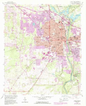
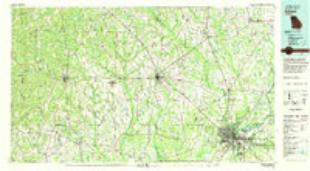
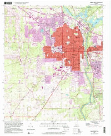
Topographic sheets covering this place
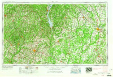
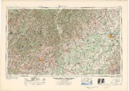
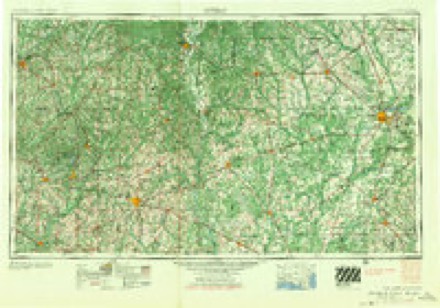
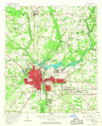
7 surveys from 13 printed sheetsMatched by testing this settlement's coordinate against the published boundary of every sheet in the United States Geological Survey's historical collection. Each opens the scanned sheet at the Survey.
- 1953 USGS Dothan quadrangle1:250000, 3 printings
- 1954 USGS Dothan quadrangle1:250000
- 1955 USGS Dothan quadrangle1:250000
- 1956 USGS Albany quadrangle1:62500, 2 printings
- 1956 USGS Albany West quadrangle1:24000, 4 printings
- 1981 USGS Albany quadrangle1:100000
- 1997 USGS Albany West quadrangle1:24000
Photographs
8 of 20 photographs shown, 1939 to 1977Taken for the Office of War Information and the Farm Security Administration, who photographed the country between 1935 and 1944. Works of United States government photographers, with no known restriction on use. Each opens its catalogue record.
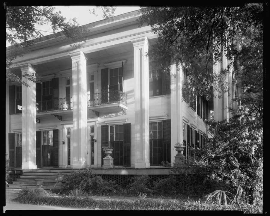
Johnston, Frances Benjamin, 1939. Library of Congress

Fleischhauer, Carl (Collector), 1977. Library of Congress
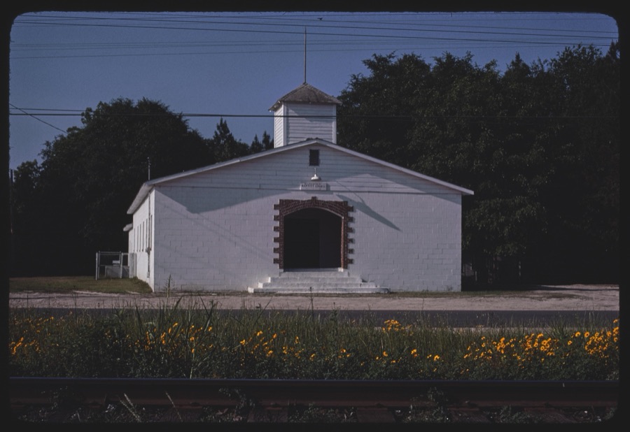
Marshall, Howard W, 1977. Library of Congress
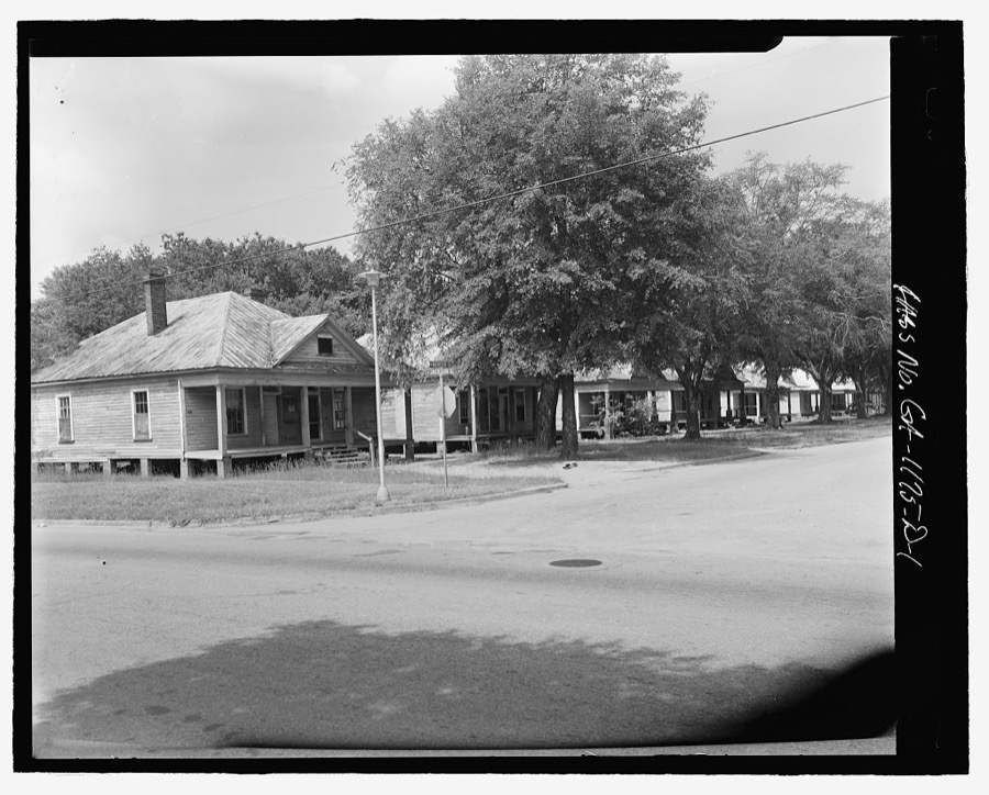
Photographer not recorded. Library of Congress
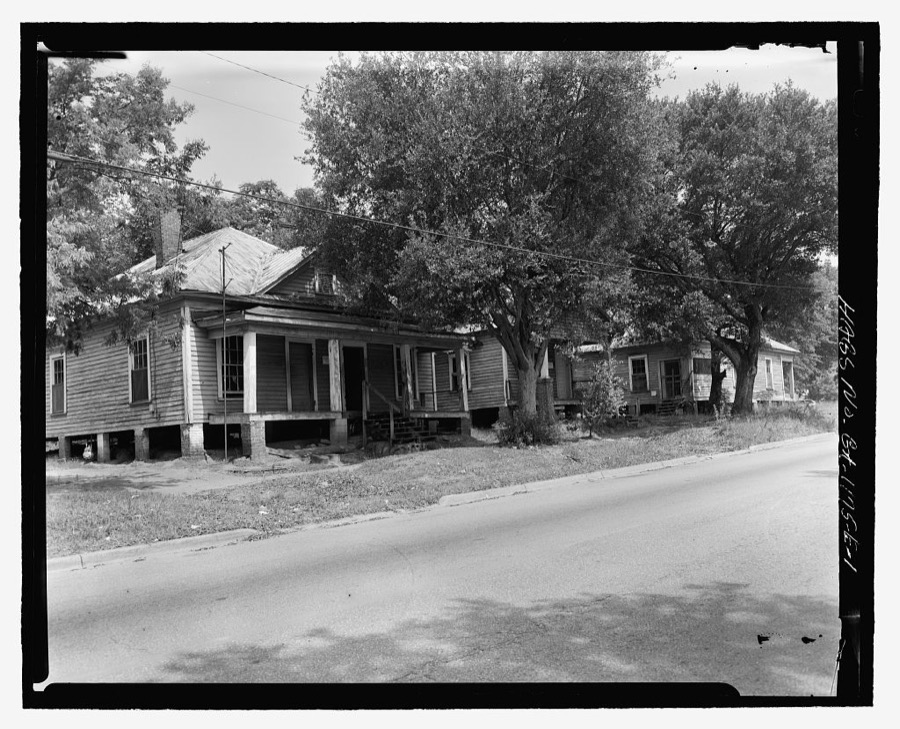
Photographer not recorded. Library of Congress
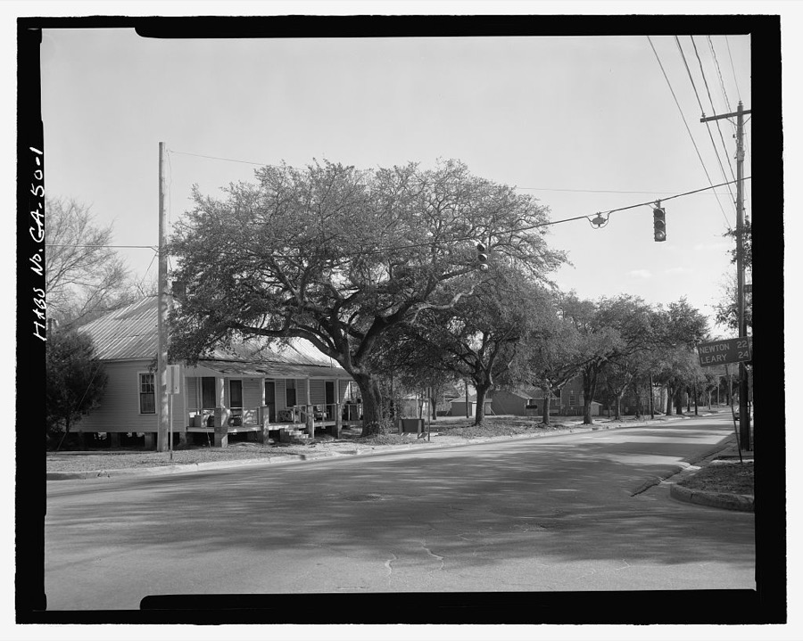
Photographer not recorded. Library of Congress
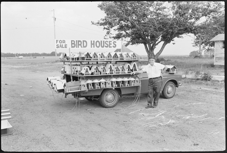
Marshall, Howard W. (Collector), 1977. Library of Congress

Fleischhauer, Carl, 1977. Library of Congress
Every photograph of Dougherty County
Fires near this place
374 since 1992Regional context, not property-specific evidence. The federal wildfire occurrence database lists 374 fires within 5 miles of Albany between 1992 and 2020, burning about 894 acres in total. 6 started naturally. 97 were recorded as arson. Distance is straight-line from the map coordinates, so a fire counted here may appear on a neighbouring settlement's page as well.
| Reported cause | Fires |
|---|---|
| Debris and open burning | 150 |
| Arson/incendiarism | 97 |
| Misuse of fire by a minor | 51 |
| Equipment and vehicle use | 32 |
| Railroad operations and maintenance | 19 |
| Missing data/not specified/undetermined | 9 |
| Natural | 6 |
| Recreation and ceremony | 5 |
| Smoking | 5 |
The most recent of them, most recent first, with the day each was reported and the service that recorded it.
| Date | Cause | Size | Reported by | Name on the report |
|---|---|---|---|---|
| 9 September 1997 | Debris and open burning | 1.9 acres | Georgia Forestry Commission | not named |
| 9 September 1997 | Missing data/not specified/undetermined | under an acre | Georgia Forestry Commission | not named |
| 7 September 2010 | Misuse of fire by a minor | 1.3 acres | Georgia Forestry Commission | FY2011-DOUGHERTY-001 |
| 5 September 2005 | Debris and open burning | under an acre | Georgia Forestry Commission | not named |
| 5 September 1999 | Debris and open burning | under an acre | Georgia Forestry Commission | not named |
| 5 September 1999 | Misuse of fire by a minor | under an acre | Georgia Forestry Commission | not named |
| 5 September 1997 | Arson/incendiarism | under an acre | Georgia Forestry Commission | not named |
| 4 September 1999 | Debris and open burning | 1.4 acres | Georgia Forestry Commission | not named |
Settlements close enough to share some of these fires:
Mines and quarries near this place
4 within 5 milesRegional context, not property-specific evidence. The federal mineral resources record lists 4 workings within 5 miles of Albany: 3 producers, 1 past producer. 3 still produce. What was taken out: Sand and Gravel, Construction. Distance is straight-line from the map coordinates, so a quarry counted here may appear on a neighbouring settlement's page as well.
| Where | Site | Commodity | Status | Recorded |
|---|---|---|---|---|
| Albany Mine | Sand and Gravel, Construction | Producer | ||
| Albany Mine | Sand and Gravel, Construction | Producer | ||
| Oxford Mine | Sand and Gravel, Construction | Past Producer | ||
| Southern Mine | Sand and Gravel, Construction | Producer |
Storms near this place
60 of 204 shownRegional context, not property-specific evidence. The National Weather Service names Albany in 204 storm reports between 1993 and 2026: 103 thunderstorm wind, 41 flash flood, 36 hail, 15 flood. The reports record 38 injuries. Each account below is quoted exactly as the forecast office filed it, from the NOAA Storm Events Database, and each date opens the federal record of that event.
| When | Event | Place named | Harm | What the report says |
|---|---|---|---|---|
| November 1995 | Tornado (F2) | Albany | 36 hurt, $10,000,000 | A tornado first touched down on the north side of the Albany Dougherty County Airport then moved east north-east for five miles to just past U.S. Highway 19. In two spots along the path the tornado lifted briefly. One of these breaks in the damage path occurred at an elementary school that was in session. The worst damage was to a Winn Dixie grocery store where many of the 36 injuries occurred. One side of the store was pulled out and collapsed to the side parking area. In the parking lot, numerous cars were moved about and a few turned over. Over 40 homes were destroyed with over 50 more severely damaged. Five businesses were severely damaged. |
| December 2002 | Thunderstorm Wind | Albany | 1 hurt, $250,000 | Straight-line winds damaged several homes, an apartment complex, and downed numerous trees and power lines. One person suffered minor injuries. Reported by GEMA and SKYWARN spotter. |
| July 2000 | Thunderstorm Wind | Albany | 1 hurt, $10,000 | A large tree fell onto a vehicle injuring the driver. Several trees and power lines down in Albany. Reported by the Dougherty County EMA. |
| April 2009 | Flood | Albany | $750,000 | Minor to moderate flooding along the Flint River impacted several dozen homes in the Radium Springs, Hampton and Lovers Lane at Lake Worth. Five county roads were closed. The Albany public works department was pumping 62 million gallons of water during the event. |
| December 2000 | Tornado (F2) | Albany | $750,000 | An F2 tornado damaged the main house and several surrounding structures at Abigail Plantation off Old Tallahassee Road, as well as several other homes on Old Dawson and Springhill Roads. Hundreds of plantation trees were uprooted. Downed power poles affected 300 customers in northwest Albany. A few storage buildings were damaged at the Cookville Trailer Park just west of Albany. Reported by the Dougherty County Police and WALB-TV Albany. |
| May 1995 | Thunderstorm Wind | Albany | $600,000 | Thunderstorm winds caused roof damage to more than 30 homes, as well as two car dealerships. At one of the dealerships, flying debris from the roof damage more than 30 cars. A family of seven had to be relocated after their roof was completely destroyed by a falling tree. |
| March 2000 | Flash Flood | Albany | $500,000 | Isolated intense thunderstorms deposited up to five inches of rain within a two-hour period over downtown Albany, just west of the Flint River. The flood waters backed up the city's storm water system for residents of West Second Avenue and Eugemar Drive. The result was a severed water main, three sink holes, several flooded vehicles, and some water damage to homes and a nearby church. Rapidly gushing rainwater reversed the sewer flow sending a small river of raw sewage through the hallways of the Albany PD. The weight of the sudden downpour of rainwater collapsed the roof of a warehouse at 122 Pine Avenue where the Albany Herald stored rolls of newsprint. Reported by the Albany Herald. |
| March 2026 | Thunderstorm Wind | Albany | $100,000 | Numerous trees and power lines were blown down with some trees on residences. |
| June 2023 | Flash Flood | Albany | $100,000 | There were multiple vehicles flooded in Albany which required rescue. |
| August 2022 | Thunderstorm Wind | Albany | $100,000 | Significant structural damage to a church occurred in downtown Albany due to a downburst. Part of the roof was blown off. |
| July 2015 | Thunderstorm Wind | Albany | $100,000 | A severe storm produced a microburst over portions of northern Albany. Numerous trees and power lines were blown down in a swath from Lovers Lane Road southwest to the Avalon United Methodist Church off Gillionville Road where the steeple was blown over. Pictures from the area near Stonewater Drive showed trees down across neighborhood roads. Some trees were blown down on houses and cars. Monetary damage was estimated. |
| January 2016 | Flood | Albany | $50,000 | Flooding along the Flint River near Albany crested on January 2nd in the moderate flood stage category. Highland Avenue and some cottages at Lovers Lane Road at Lake Chehaw saw some flooding along with several other roads in the area. Damage was estimated. |
| March 2014 | Lightning | Albany | $50,000 | Lightning caused a house fire in Albany. Monetary damage was estimated. |
| June 2014 | Thunderstorm Wind | Albany | $50,000 | A large tree fell on a house in Albany at 10th Ave. Monetary damage was estimated. |
| February 2012 | Thunderstorm Wind | Albany | $50,000 | Trees were down around Albany with power outages reported. WALB also reported on their facebook page that a tree fell on a home in Albany and the couple inside the home was displaced. Monetary damage was estimated. |
| June 2008 | Thunderstorm Wind | Albany | $50,000 | Straight line winds toppled numerous trees and power lines across the city. An estimated 1,000 residents were without power. The storm disrupted the city's 911 computer and telephone capabilities. Several homes sustained minor damage on the west and northwest edge of Albany. |
| June 1998 | Thunderstorm Wind | Albany | $50,000 | Straight-line winds toppled two large trees down in the northwest section of Albany. Lightning and downed power lines ignited several small fires. One storage shed was destroyed by fire. |
| April 2011 | Thunderstorm Wind | Albany | $20,000 | Trees and power lines were blown down across the county. The monetary damage figure provided is a rough estimate. |
| August 2003 | Lightning | East Albany | $20,000 | Lightning struck a 300-foot emergency communications tower, which knocked the primary and backup 911 systems offline for 20 hours. Reported by the Albany Herald. |
| May 2002 | Thunderstorm Wind | Albany | $20,000 | Several downed trees and large signs. A small tower was destroyed. Reported by WFXL-TV. |
| June 2018 | Thunderstorm Wind | Albany | $15,000 | A tree fell on a vehicle in the Albany area. No injuries were reported. |
| April 2017 | Thunderstorm Wind | Albany | $15,000 | A tree was blown down onto a home on Doncaster Road. |
| February 2000 | Thunderstorm Wind | Albany | $15,000 | Numerous trees and power lines down. Scattered power outages. Reported by a ham radio operator. |
| July 1995 | Thunderstorm Wind | Albany | $15,000 | Thunderstorm winds blew five large pine trees down. Fallen trees were responsible for 700 people losing electricity, as well as causing minor damage to several homes. |
| March 2026 | Thunderstorm Wind | East Albany | $10,000 | A metal roof was blown off on the Albany 8 Inn. |
| January 2024 | Thunderstorm Wind | Albany | $10,000 | A tree fell on a vacant home in Dougherty county. |
| April 2017 | Thunderstorm Wind | Albany | $10,000 | A power pole was blown down onto a car on North Harding Street. |
| July 2015 | Thunderstorm Wind | Albany | $10,000 | Wires were blown down in a swath from near the 1700 block of Lynwood to the 2200 block of Champagne Lane to the 2800 block of Westgate Drive to the 2200 block of Chatham Drive. There were also trees down near Chatham Drive and Beatie Road. These reports were relayed through WFXL-TV. Damage was estimated. |
| June 2006 | Thunderstorm Wind | Albany | $10,000 | A county official reported some downed trees and power lines, including several power outages. |
| October 1997 | Tornado (F0) | Albany | $10,000 | F0 tornado touchdown just southwest of Albany near Walker. Roof damage and scattered debris along 1600 block of Oakridge Road. Minor structural damage to a warehouse and church. Numerous trees down. |
| May 2012 | Thunderstorm Wind | Albany | $8,000 | At least 8 trees were blown down around the city of Albany. Monetary damage was estimated. |
| January 2012 | Lightning | Albany | $7,000 | Lightning struck Doc Heilinbel's Pharmacy at 2409 Dawson Road. The lightning knocked plywood off of the building and damaged part of the steeple. Witnesses said sparks flew from the roof. Some damage to electronics also occurred, and electricians repaired that damage the following day. The exact time of the strike and the monetary damage were estimated. |
| August 2012 | Thunderstorm Wind | Albany | $7,000 | FOX31 reported that a tree fell on a home at 1122 West Whitney Avenue. The tree landed in the dining area of the home destroying several windows and causing some damage to the room. There were no injuries reported to the family despite them being in the home at the time. Monetary damage was estimated. |
| July 2015 | Lightning | East Albany | $5,000 | Lightning struck a residence along Blaylock Street. Damage was estimated. |
| July 2012 | Thunderstorm Wind | Albany | $5,000 | Trees and power lines were blown down. Monetary damage was estimated. |
| March 2011 | Thunderstorm Wind | East Albany | $5,000 | A billboard was blown down onto a car on Liberty Expressway. The monetary damage provided is a rough estimate. |
| February 2009 | Thunderstorm Wind | Albany | $5,000 | A few large trees were down on the 1800 block of Dawson Road. At Dawson Road and Greenwood Drive, the top of a large pine tree snapped and downed power lines and shattered a nearby street lamp. |
| July 2004 | Thunderstorm Wind | East Albany | $5,000 | Downed trees and power lines on Mitchell Avenue reported by the Albany Police. |
| May 1999 | Thunderstorm Wind | Albany | $5,000 | Albany P.D. reported several trees and power lines down |
| May 1993 | Thunderstorm Wind | Albany | $5,000 | Numerous large trees and power lines were blown down fromthunderstorm winds. |
| February 2020 | Thunderstorm Wind | Albany | $4,000 | A gas station canopy was damaged on W Gordon Street. |
| July 2015 | Thunderstorm Wind | Albany | $4,000 | Several reports of trees and power lines blown down were received across the city of Albany. |
| March 2019 | Thunderstorm Wind | Albany | $3,000 | Power lines were blown down at the 400 block of Philema Road. |
| January 2017 | Thunderstorm Wind | Albany | $3,000 | Trees and power lines were blown down in Albany. |
| April 2017 | Thunderstorm Wind | Albany | $3,000 | A shed was flipped over. |
| July 2015 | Thunderstorm Wind | Albany | $3,000 | A main power line was blown down on Murray Hill Lane in Albany. |
| July 2015 | Thunderstorm Wind | Albany | $3,000 | A tree was blown down onto a power line and eventually caught fire on the 400 block of West Lincoln Ave in Albany. |
| June 2014 | Lightning | Albany | $3,000 | Lightning struck a tree, causing it to fall on power lines on Eager Drive. |
| January 2022 | Thunderstorm Wind | Albany | $2,000 | A tree was blown down onto power lines along with multiple locations where the traffic lights were out due to power outages in the Albany area. |
| May 2022 | Thunderstorm Wind | Albany | $2,000 | Trees and power lines were blown down in Albany, generally on the west side of town. |
| December 2018 | Thunderstorm Wind | Albany | $2,000 | Power lines were blown down in the Albany area with around 2000 customers out at the peak. |
| August 2015 | Thunderstorm Wind | East Albany | $2,000 | Trees and power lines were blown down near Mitchell Ave and Rood Street as reported by WALB-TV. |
| August 2014 | Thunderstorm Wind | Albany | $2,000 | Power lines were blown down on the 1800 block of Schley Ave. |
| January 2013 | Thunderstorm Wind | Albany | $2,000 | Scattered trees were blown down around the city of Albany. Monetary damage was estimated. |
| August 2002 | Thunderstorm Wind | Albany | $2,000 | Downed trees and power lines at 3rd Avenue and Dawson Road, and on Stewart Avenue near the Albany Mall. Reported by WALB-TV. |
| July 2000 | Thunderstorm Wind | Albany | $2,000 | Some trees down on power lines. Reported by Albany 911. |
| August 1999 | Thunderstorm Wind | Albany | $2,000 | Albany P.D. reported minor damage to a billboard at the Albany Mall. |
| February 2018 | Thunderstorm Wind | South Albany | $1,000 | Telephone or cable lines were blown down near Wells Ave and MLK Jr Dr. |
| July 2015 | Thunderstorm Wind | East Albany | $1,000 | A power line was blown down at North Carroll Street and East 1st Ave in Albany and was blocking traffic. |
| June 2014 | Thunderstorm Wind | Albany | $1,000 | Two large trees were blown down in the city of Albany. |
Nearest settlements
The eight closest, with where each one stands in the county. Distances are straight-line, computed from the Geographic Names Information System coordinates.
| Map | Place | Distance | Sheets |
|---|---|---|---|
| Hinds | 0.7 miles | 13 | |
| Gloriana | 0.8 miles | 13 | |
| Northend | 0.8 miles | 13 | |
| Shackleford Place | 0.9 miles | 13 | |
| Walters | 0.9 miles | 13 | |
| Hollywood | 1.0 miles | 13 | |
| West Highland | 1.0 miles | 13 | |
| Dixieland | 1.1 miles | 13 |
Elsewhere
Matched on this settlement's Geographic Names Information System number rather than its name, so it cannot be a different place of the same name in another state.
| Wikipedia article on Albany | An encyclopaedic summary. Its text is share-alike, so it is linked here rather than copied. |
| Wikidata item Q285599 | The structured record the population and elevation above come from. Public domain (CC0). |
Provenance
This settlement is recorded in the Geographic Names Information System as feature 310424. The sheet list is computed by point-in-boundary test against the United States Geological Survey's historical topographic inventory. Both are works of the United States government and carry no copyright under 17 U.S.C. 105.
Wildfire. Short, Karen C. 2022. Spatial wildfire occurrence data for the United States, 1992-2020 [FPA_FOD_20221014]. 6th Edition. Fort Collins, CO: Forest Service Research Data Archive. https://doi.org/10.2737/RDS-2013-0009.6 Collected with United States Government funding and usable without additional permissions or fees.
Mines and quarries. USGS Mineral Resources Data System (MRDS) https://mrdata.usgs.gov/mrds/ A work of the United States government, no copyright under 17 U.S.C. 105.
Storms. NOAA National Centers for Environmental Information, Storm Events Database https://www.ncei.noaa.gov/stormevents/ A work of the United States government, no copyright under 17 U.S.C. 105. Narratives are quoted verbatim from the National Weather Service report and are not edited or summarised.