 Block
From the record
8 National Register listings published here.
Sources: the National Register database, National Park Service
45 topographic sheets cover 30 settlements here, and 8 properties are on the National Register of Historic Places.
8 National Register listings published here.
Sources: the National Register database, National Park Service
Taken for the Office of War Information and the Farm Security Administration, who photographed the country between 1935 and 1944. Works of United States government photographers, with no known restriction on use. Each opens its catalogue record.
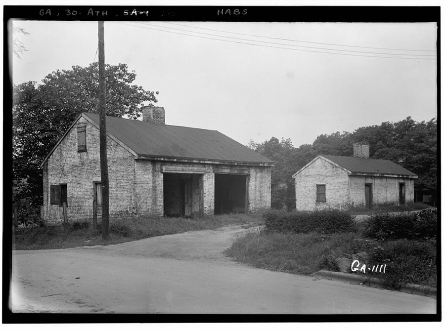
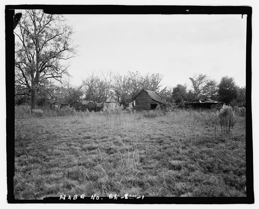
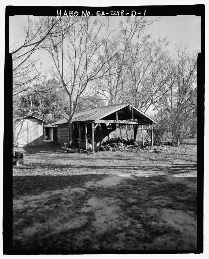
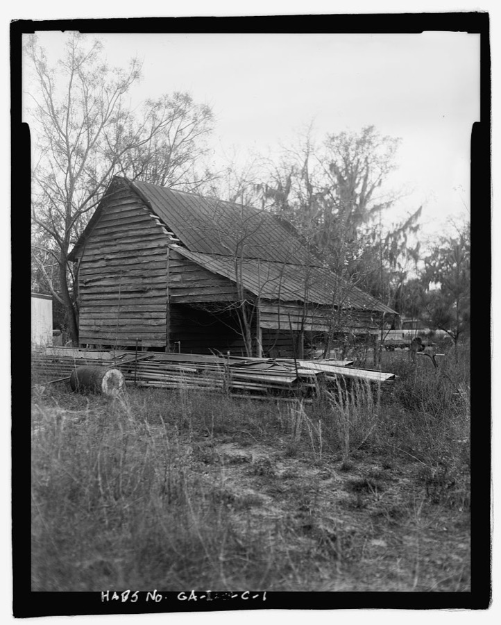
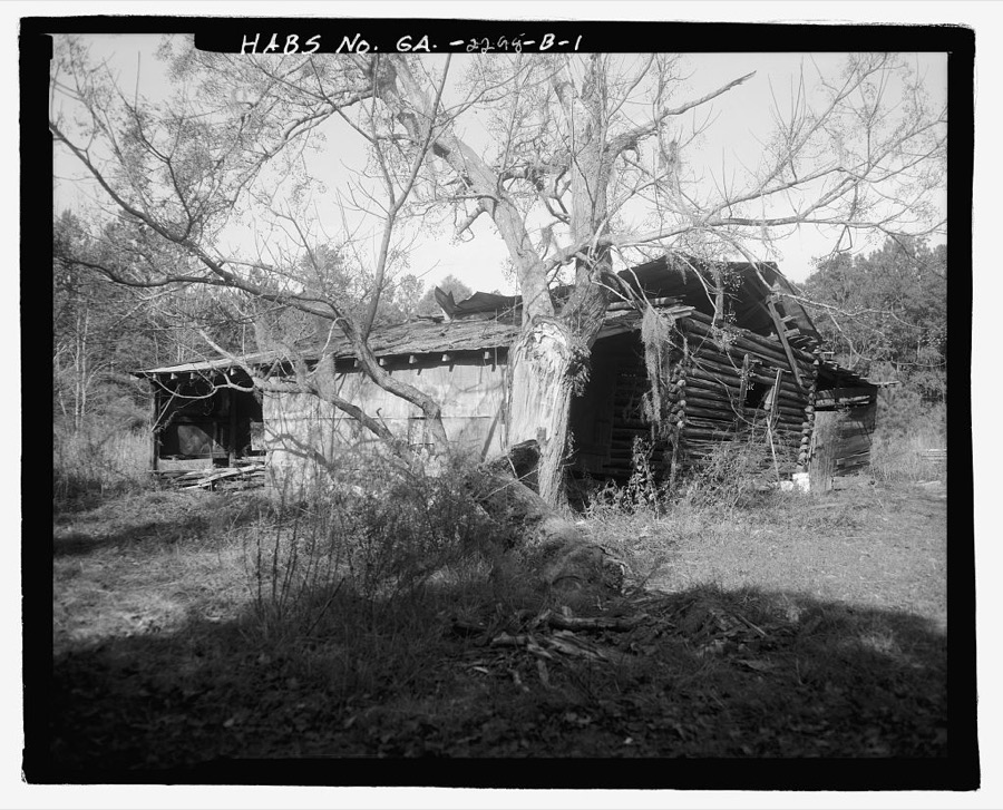
Every property in this county listed on the National Register of Historic Places, with the year it was listed and the federal nomination document.
| Photograph | Property | Type | Listed | Reference |
|---|---|---|---|---|
| Ash Farmhouse | building | 2025 | 100011427 | |
 | Ebenezer Townsite and Jerusalem Lutheran Church | district | 1974 | 74000674 |
 | Effingham County Courthouse | building | 1980 | 80001016 |
 | Effingham County Jail | building | 2006 | 06000845 |
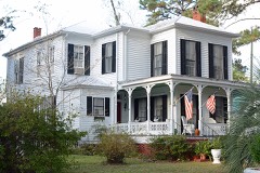 | Guyton Historic District | district | 1982 | 82002408 |
 | New Hope AME Church | building | 1986 | 86000364 |
 | Reiser-Zoller Farm | district | 1989 | 89000152 |
| Springfield Historic District | district | 2021 | 100006329 |
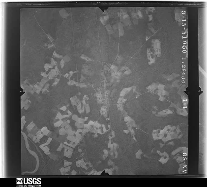
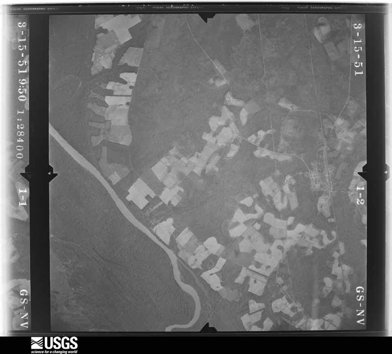
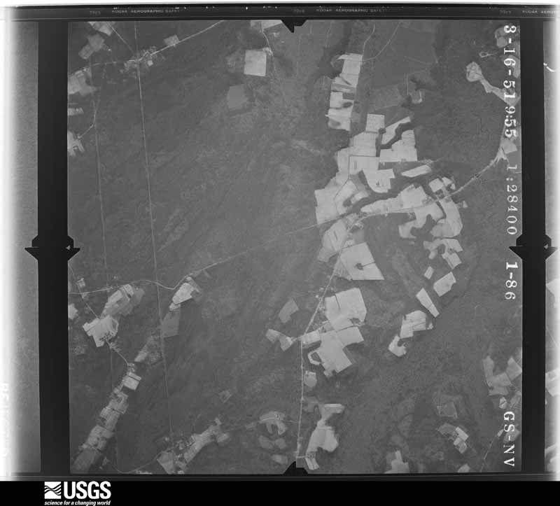
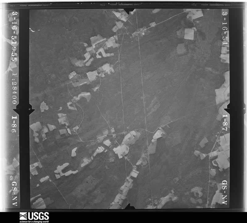
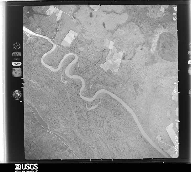
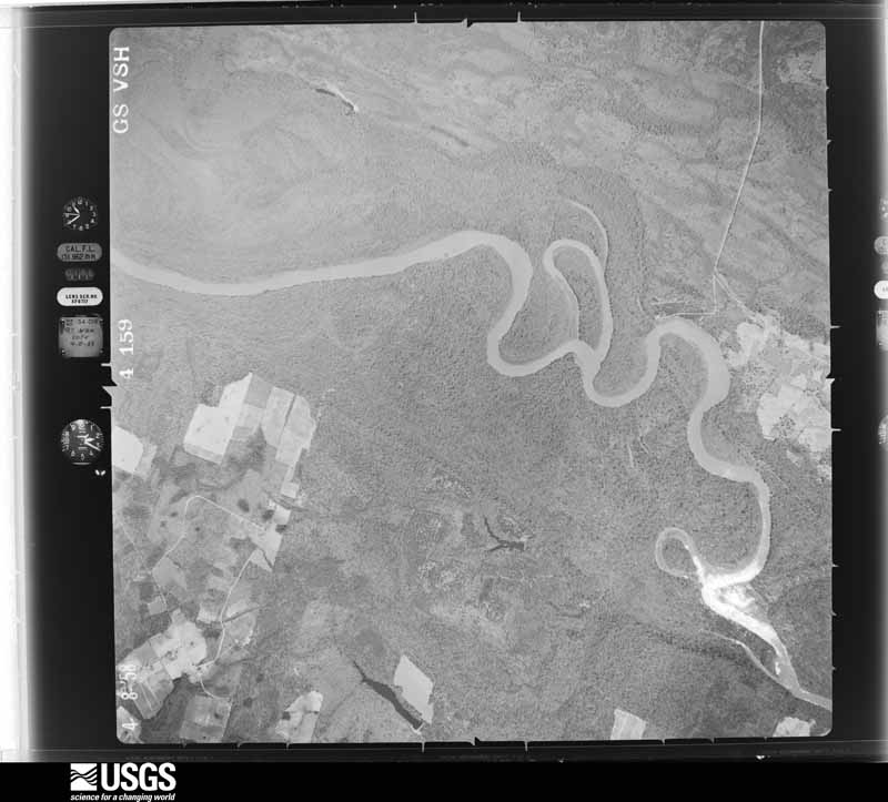
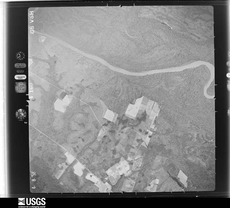
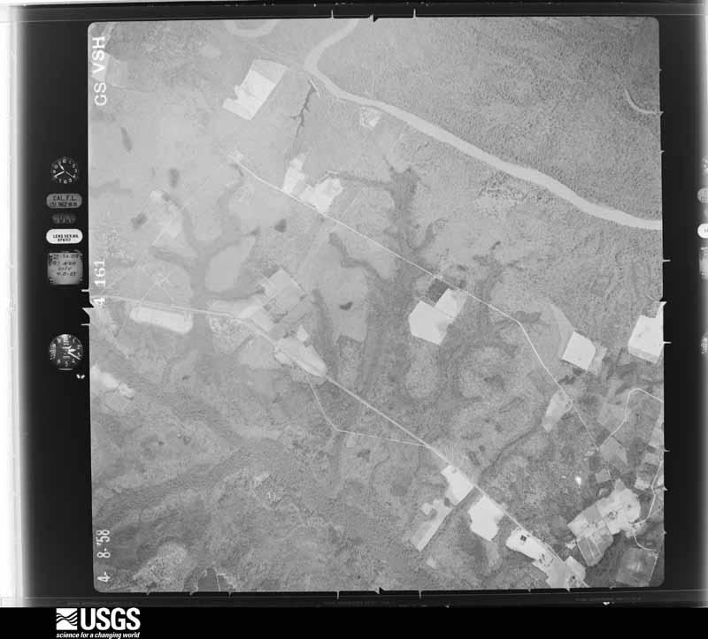
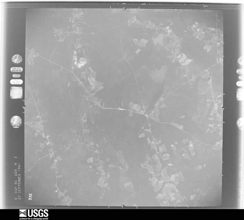
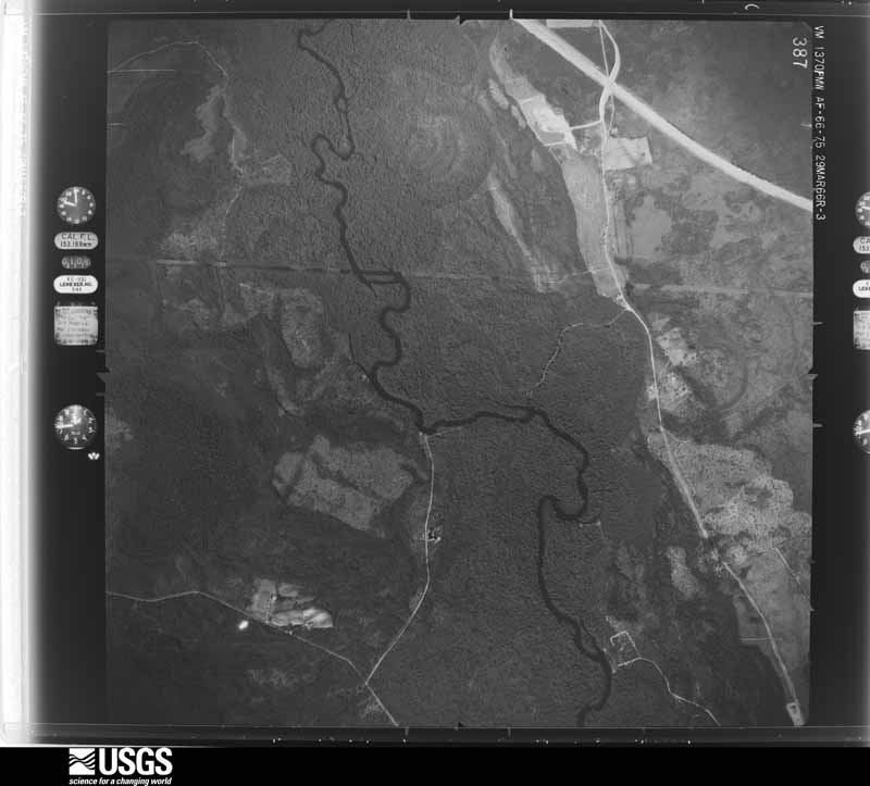
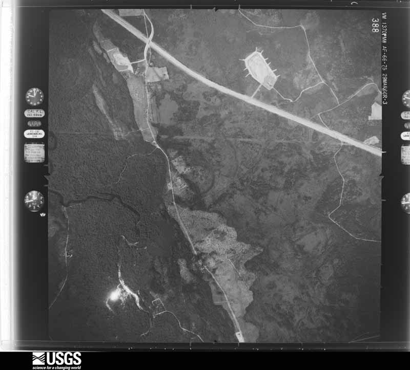
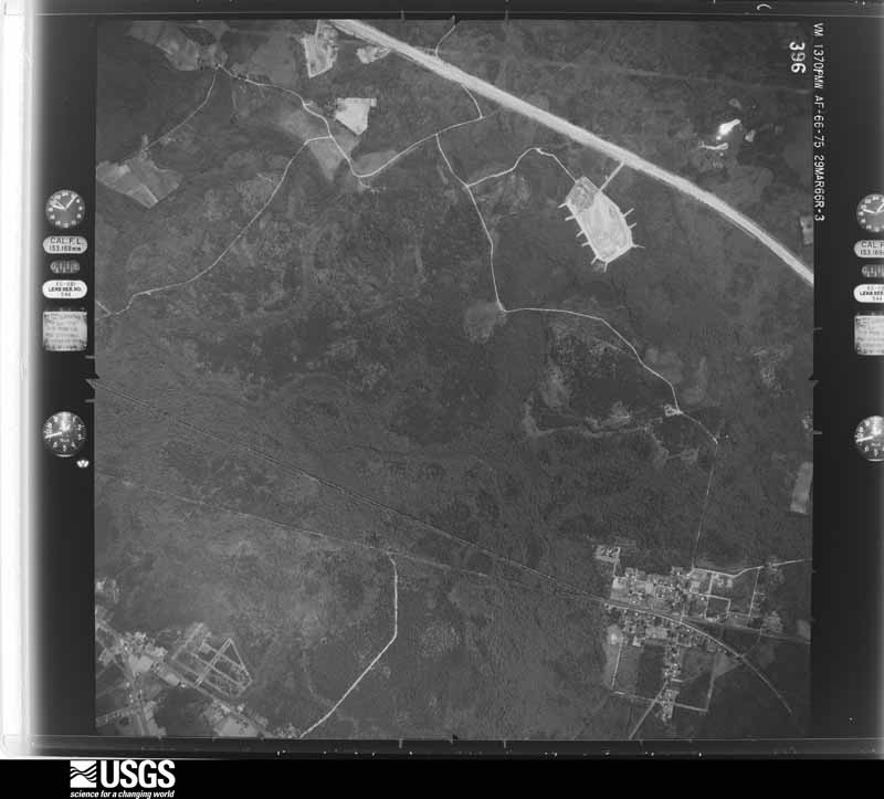
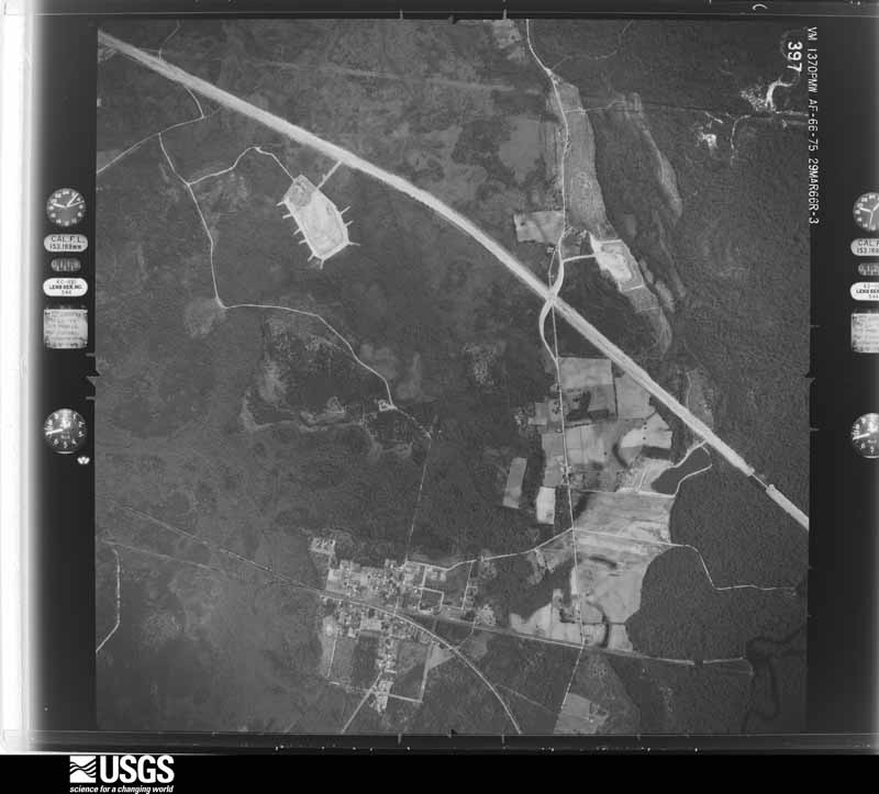
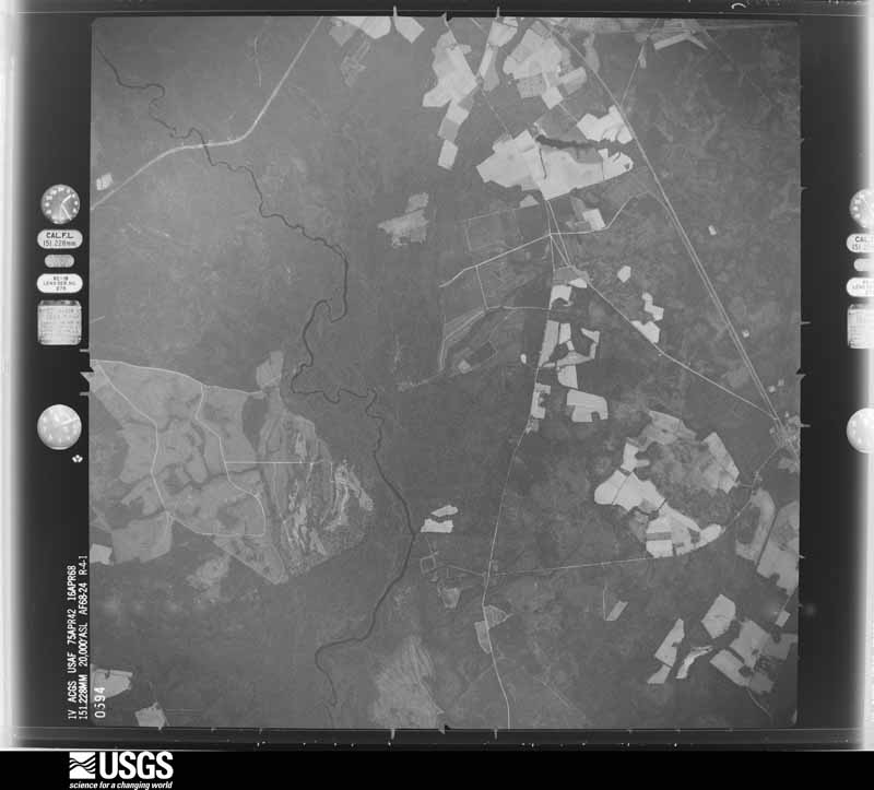
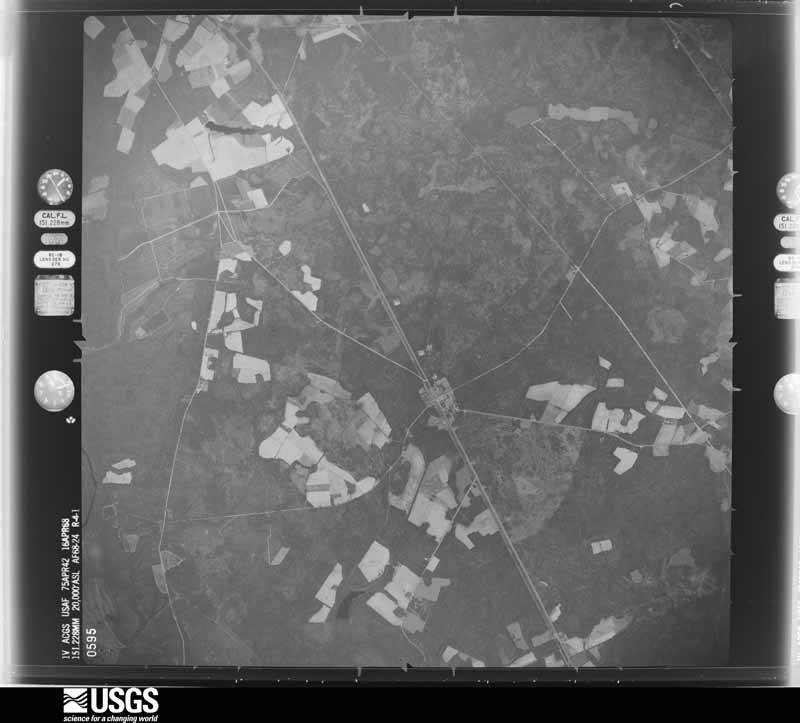
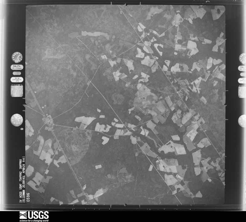
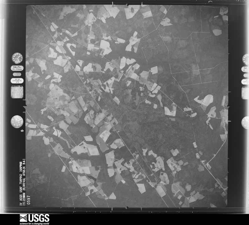
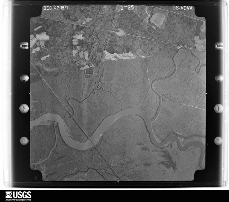
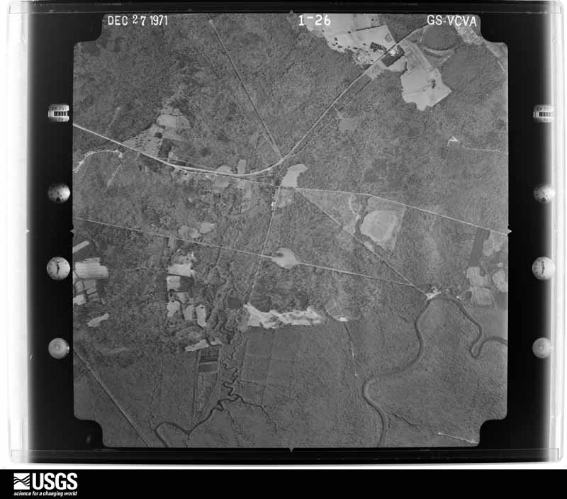
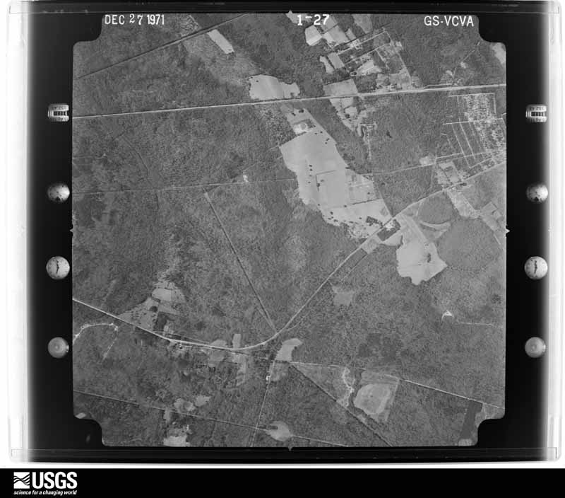
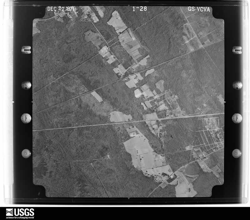
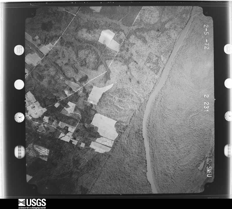
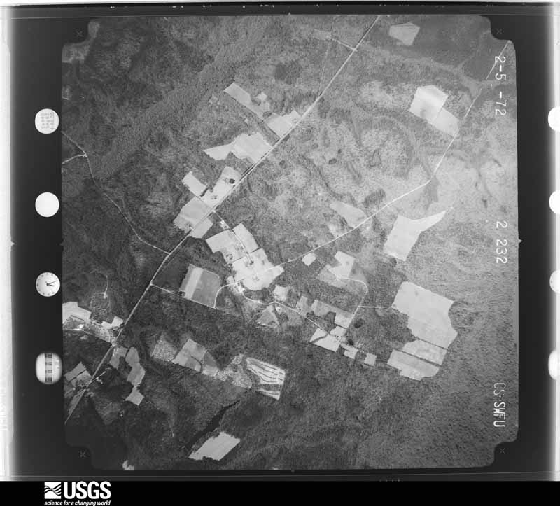
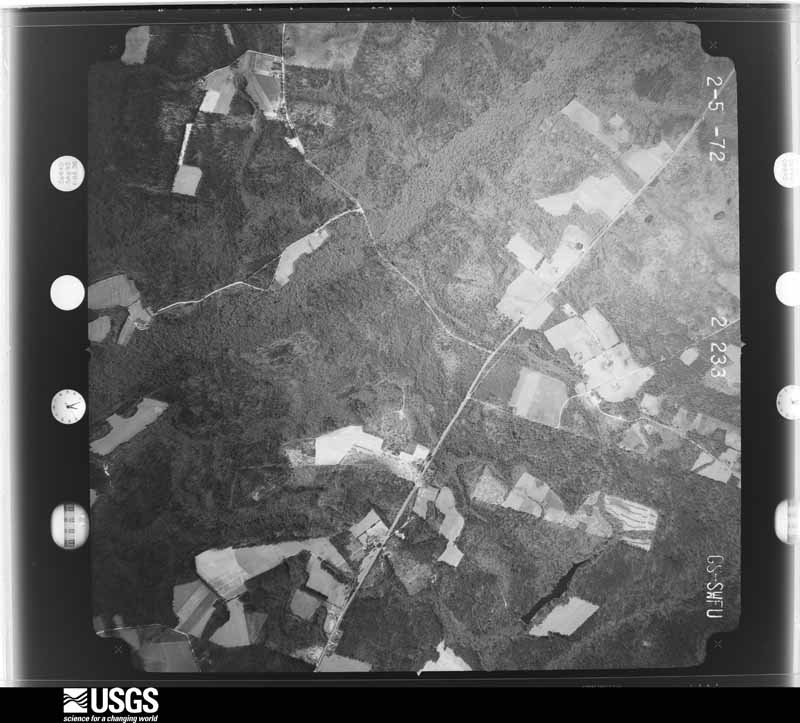
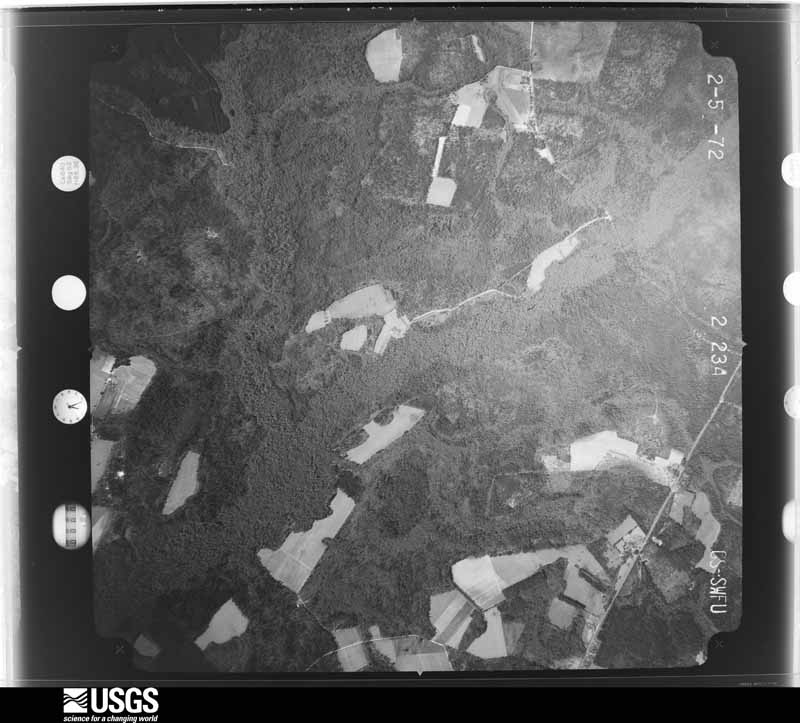
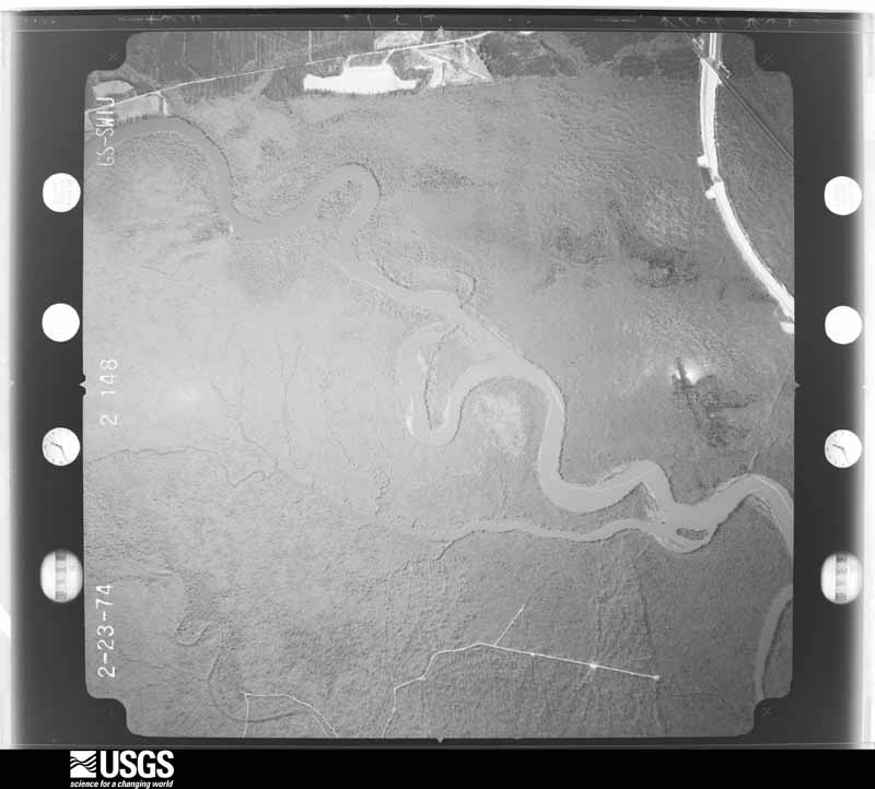
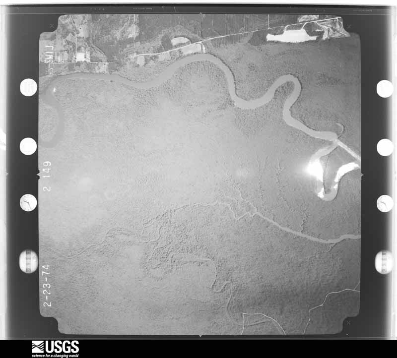
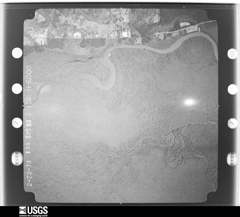
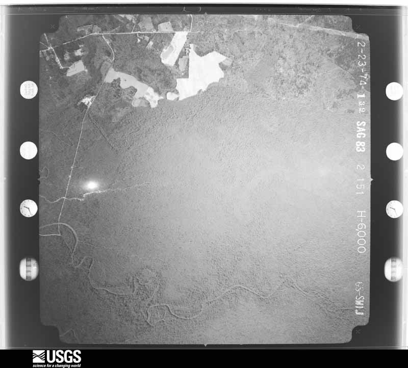
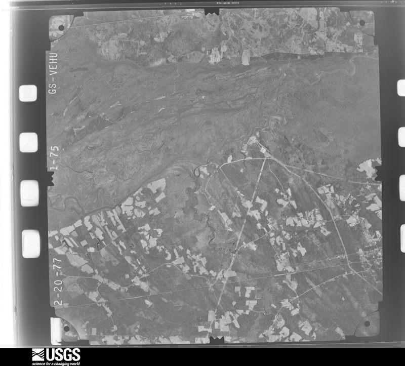
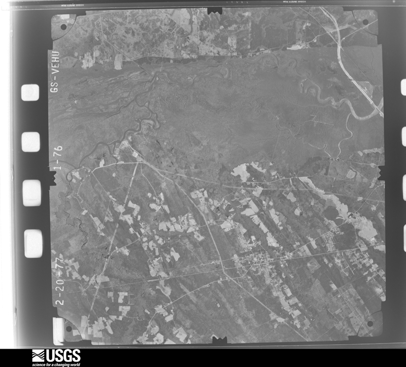
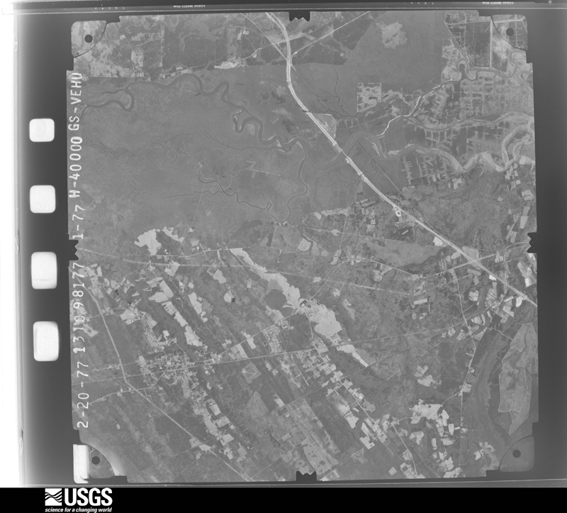
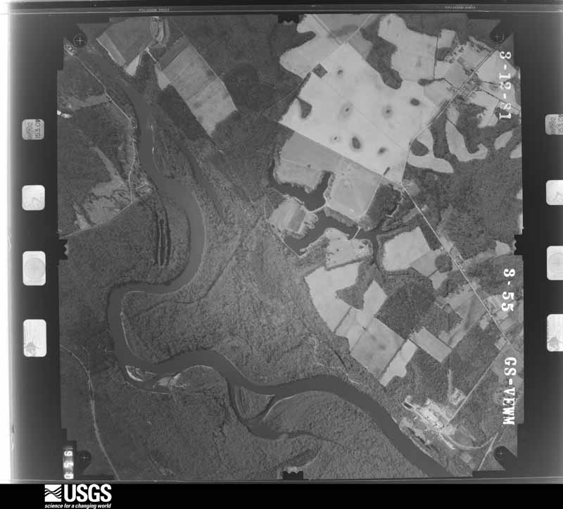
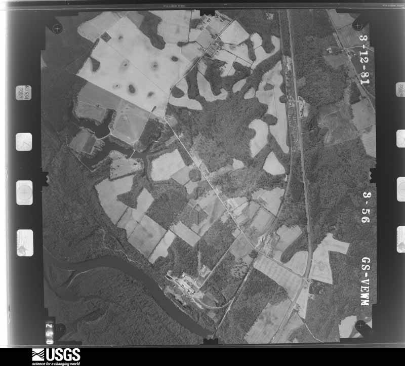
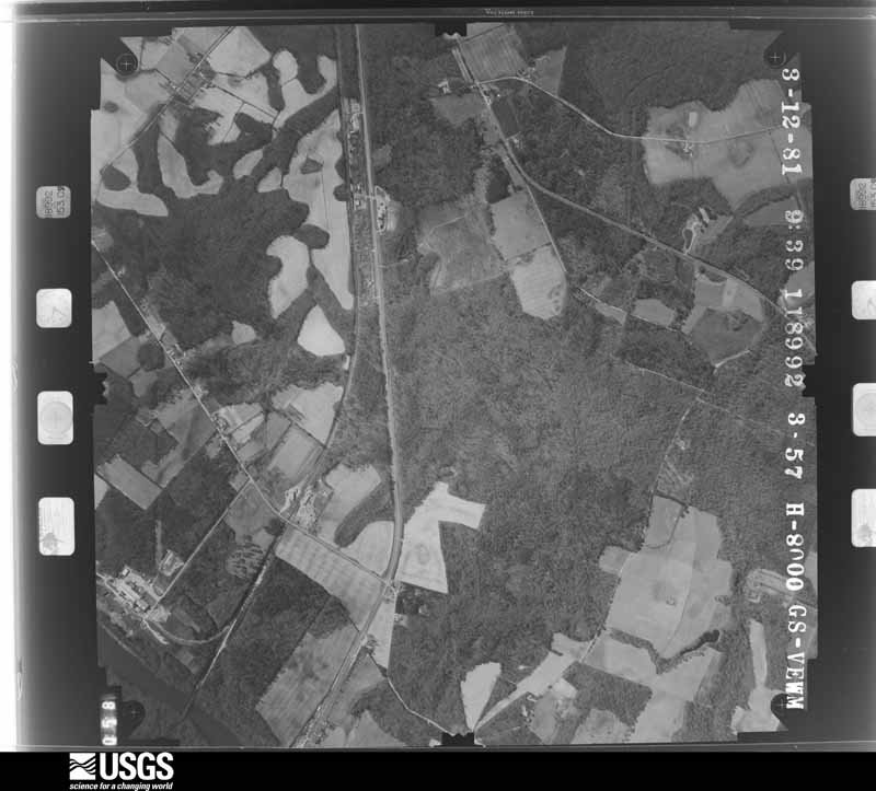
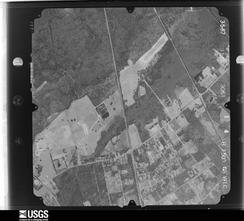
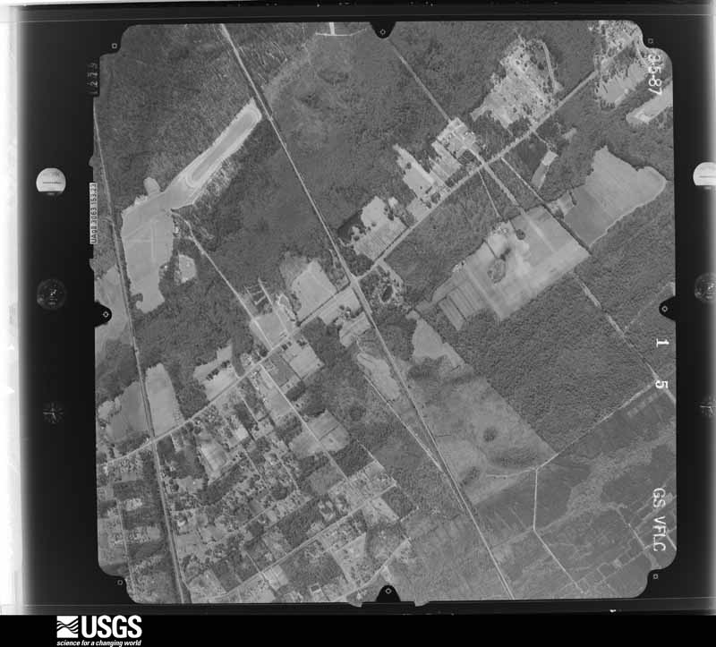
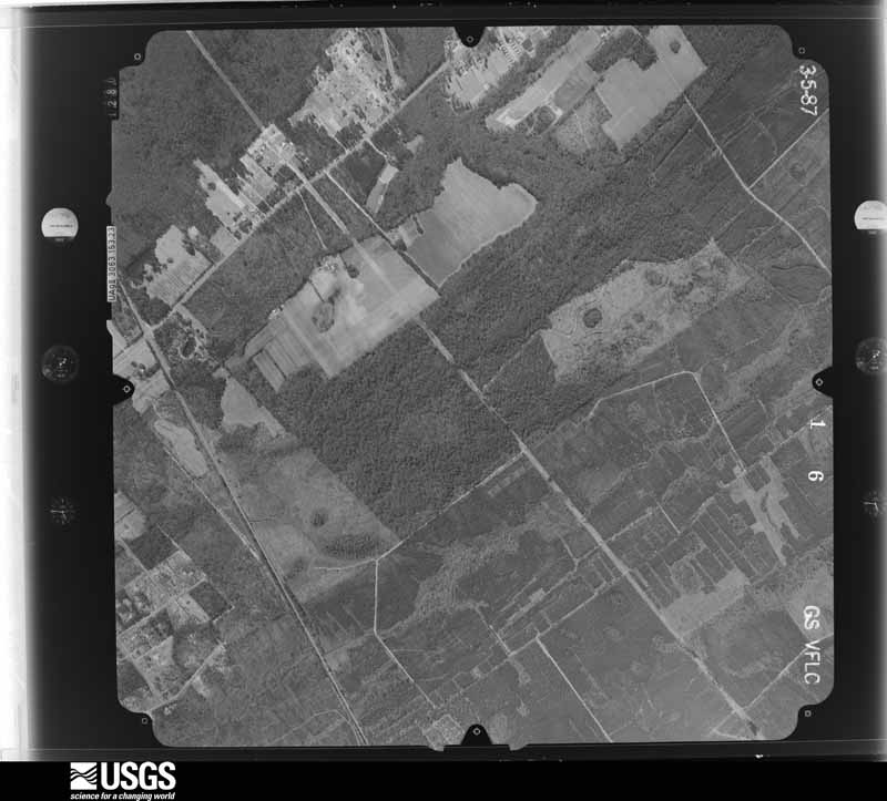
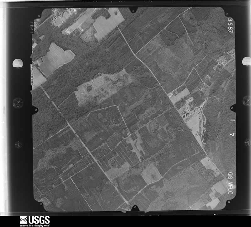
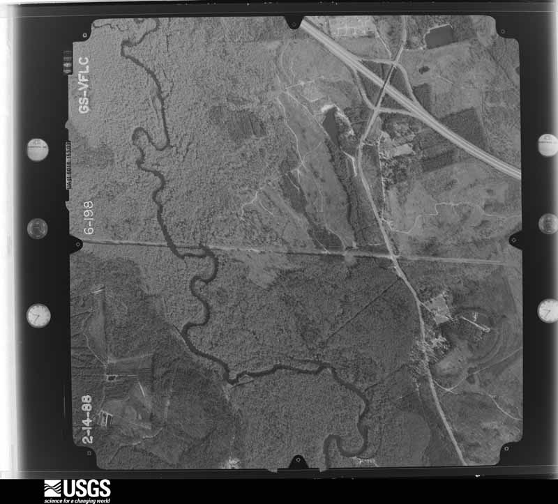
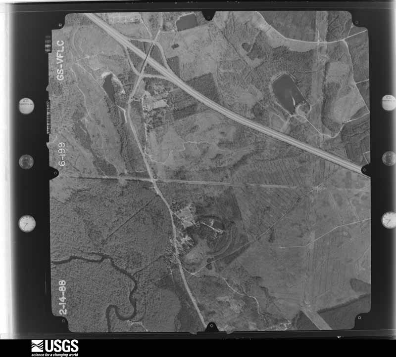
Flown by the U.S. Geological Survey between 1937 and 1989, the Aerial Photo Single Frames collection is the definitive mid-century view of the land: fields, roads and rivers as the camera saw them. The Survey holds 1,225 frames inside the rectangle that bounds this county; the 44 frames below were taken over the county itself, chosen across the decades of flights (at most four a year from that rectangle), so one flight cannot crowd out the rest. The full set is free to browse and download at EarthExplorer under the dataset Aerial Photo Single Frames.



The thermometers that kept this county's weather, and the gages that measured the flow of its streams, as the federal records hold them. The extremes below are measured values from those records, not estimates.
Who lived here in 1950, one enumeration district at a time, as the Census Bureau described each district. Each row opens its official National Archives result, with Population Schedules and ED Maps available there.
Every wildfire the federal occurrence database records inside this county: 1,939 of them, burning about 9,555 acres. 117 started naturally and 451 were recorded as arson. Each settlement page carries the fires within five miles of it.
| Reported cause | Fires |
|---|---|
| Debris and open burning | 1032 |
| Arson/incendiarism | 451 |
| Natural | 117 |
| Misuse of fire by a minor | 90 |
| Missing data/not specified/undetermined | 89 |
| Equipment and vehicle use | 57 |
| Railroad operations and maintenance | 41 |
| Recreation and ceremony | 41 |
| Smoking | 21 |
The five largest, by the area the report gives. Two of them were set deliberately.
| Date | Cause | Size | Reported by | Name on the report |
|---|---|---|---|---|
| 24 March 1999 | Railroad operations and maintenance | 789 acres | Georgia Forestry Commission | not named |
| 15 July 2000 | Arson/incendiarism | 307 acres | Georgia Forestry Commission | FY2001-EFFINGHAM-007 |
| 5 June 2008 | Natural | 262 acres | Georgia Forestry Commission | not named |
| 20 February 2002 | Debris and open burning | 180 acres | Georgia Forestry Commission | FY2002-EFFINGHAM-055 |
| 16 April 2007 | Arson/incendiarism | 161 acres | Georgia Forestry Commission | COURTHOUSE RD FIRE |
| 7 June 2006 | Natural | 140 acres | Georgia Forestry Commission | not named |
| 22 March 2011 | Debris and open burning | 127 acres | Georgia Forestry Commission | FY2011-EFFINGHAM-080 |
| 12 April 1999 | Debris and open burning | 119 acres | Georgia Forestry Commission | not named |
Every settlement page carries the fires within five miles of it - see the settlement index below.
The NOAA Storm Events Database holds 510 reports for this county, causing 1 death, 16 injuries and about $8,361,600 in recorded property damage. Each settlement page carries the reports that name it.
| Kind of event | Reports |
|---|---|
| Thunderstorm Wind | 347 |
| Hail | 117 |
| Lightning | 19 |
| Tornado | 15 |
| Flash Flood | 6 |
| Funnel Cloud | 2 |
| Flood | 2 |
| Heavy Rain | 1 |
| Winter Storm | 1 |
The most serious of them, by death, then injury, then recorded damage. The accounts are quoted exactly as the forecast office filed them.
| When | Event | Place named | Harm | What the report says |
|---|---|---|---|---|
| May 1974 | Tornado (F1) | not stated | 1 killed, 3 hurt, $250,000 | no account filed |
| March 2008 | Tornado (EF2) | Springfield | 5 hurt, $1,500,000 | An EF2 Tornado was confirmed by a Storm Survey conducted by the Charleston, South Carolina National Weather Service Forecast Office. The Tornado touched down in Effingham county 1 mile northeast of Springfield, Georgia at 934 PM EDT and traveled southeast approximately 7 miles before lifting at 943 PM EDT about 6 miles east-southeast of Springfield, Georgia. This Tornado destroyed three mobile homes, damaged three to four dozen homes, knocked down 15 high voltage transmission towers, destroyed or damaged 20 vehicles, destroyed numerous outbuildings, sheds, and barns. Five people were injured when the mobile home they were in was blown over and rolled a time or two. Another person was injured when they drove a car into a tree that had fallen across the road. This tornado was a quarter mile wide at its widest point when it crossed Ebenezer Road and had maximum sustained winds estimated between 110 and 120 mph. |
| May 1975 | Tornado (F2) | not stated | 2 hurt, $250,000 | no account filed |
| April 1998 | Tornado (F2) | Eden | 1 hurt, $500,000 | The Bryan County tornado crossed the county line and weakened as it moved into a less populated area. Once the tornado moved east of GA State Road 17, it lifted. There were no further reports of damage or touchdowns from the parent supercell until the F1 touchdown reported just west of Hardeeville, S.C., which is approximately 12 miles from the last report of damage in Effingham County, Georgia. There were 40 homes damaged along GA 17, about 5 miles south of Guyton. Six of these were mobile homes that were destroyed. Numerous trees were uprooted or snapped off 10 to 15 feet above the ground. |
| November 1995 | Tornado (F1) | not stated | 1 hurt, $50,000 | Tornado started in Bryan County as indicated by 88D. Tornadic storm appeared to have diminished while still in Bryan County and then regenerated rapidly, just before entering Effingham County and then crossing Interstate 16. Tornado moved east northeast and ended about 1.5 miles east of Eden. No significant damage occurred in Bryan County. In Effingham County, two mobile homes were destroyed and roof damage to several homes and numerous trees down. |
| August 2023 | Thunderstorm Wind | Marlow | 1 hurt, $8,500 | An Effingham County emergency manager reported a tree fell onto police car near the intersection of Midland Road and Highway 17. The police officer transported to hospital with minor injuries. |
| May 2024 | Lightning | Pineora | 1 hurt | Effingham County Fire Department reported a lightning strike at a home on Taylor Drive near Guyton. The lightning strike resulted in one injury and also caused a small fire in the attic. |
| August 2019 | Lightning | Guyton | 1 hurt | The Effingham County 911 Call Center reported a 43 old male struck by lightning while doing construction at a residence. The person was transported to the hospital. The extent of the direct injury was unknown. |
| September 2001 | Lightning | Guyton | 1 hurt | Effingham County emergency manager was struck by lightning as he left his home to go outside to get his wife inside. |
| March 2008 | Tornado (EF2) | Rincon | $3,000,000 | An EF2 Tornado was confirmed by a Storm Survey conducted by the Charleston, South Carolina National Weather Service Forecast Office. The Tornado touched down in Effingham county 3.5 miles northeast of Rincon, Georgia and just northwest of the Georgia Power McIntosh Plant around 944 PM EDT and traveled southeast approximately a half a mile before lifting at 945 PM EDT. This Tornado destroyed a water cooling tower, damaged another water cooling tower and several buildings, toppled two high voltage transmission towers, knocked down or uprooted several dozen trees, tossed tractor trailer cargo containers with equipment inside up to 100 yards. In addition, at the time of the survey one of the tractor trailer containers could not be found. A steel hoist roof assembly weighing a couple thousand pounds used to load and unload heavy items was tossed 100 feet. This tornado was up to 100 yards wide and had maximum sustained winds estimated between 120 and 130 mph. |
| May 2006 | Hail | Rincon | $1,000,000 | Car dealership estimates near 1 million dollars of damage from golf ball hail. |
| April 2011 | Thunderstorm Wind | Rincon | $262,500 | An emergency manager reported 25 houses in the Rincon, Georgia area sustained minimal to moderate roof and siding damage. Five cars were also damaged by falling trees. |
| May 1984 | Tornado (F1) | not stated | $250,000 | no account filed |
| April 1980 | Tornado (F1) | not stated | $250,000 | no account filed |
| October 1972 | Tornado (F2) | not stated | $250,000 | no account filed |
| August 2024 | Flash Flood | Clyo | $100,000 | An Effingham County emergency manager reported around 10 roads washed out across the county. The washed out roads were listed at the following locations: 1100 Block of Arnsdorff Lane, Springfield-Egypt Road and Tarver Pond Drive, Turkey Branch Road, Lorenzo Hurst Road, Old Louisville Road and Riverside Drive, Herbert Kessler Road and Blue Jay Road, Corinth Church Road. The 300 Block of South Ash Street was also damaged with the roadbed completely washed out. |
| July 2017 | Lightning | Rahn | $50,000 | Effingham County dispatch reported 2 homes struck by lightning in Rincon. One house became fully engulfed and the other resulted in no major damage. |
| June 1994 | Thunderstorm Wind | Guyton to Clyo | $50,000 | Numerous trees and power lines were downed by straight-line thunderstorm winds along Georgia Highway 119. A few homes received minor to moderate roof and awning damage from wind toppled trees and branches. |
| August 2011 | Thunderstorm Wind | Stillwell | $25,000 | A emergency manager reported trees down on a barn causing it to collapse and damage to two other farm structures along Mock Road. |
| June 2010 | Thunderstorm Wind | Shawnee | $25,000 | An Emergency Manager reported two 3 feet diameter oak trees knocked down on Corinth Church Road. The Emergency Manager also reported tree limbs down and a small portable shop overturned on Old Dixie highway. The Emergency Manager also reported that an anchored oil tank was overturned and a roof was torn off a barn on Bird Road. |
| May 2008 | Lightning | Guyton | $25,000 | Lightning struck a house starting it on fire in Guyton, Georgia. |
| February 1976 | Tornado (F1) | not stated | $25,000 | no account filed |
| September 2023 | Lightning | Rahn | $20,000 | Effingham County dispatch reported a home struck by lightning along Shirley Drive. Though there was no fire, the home did sustain significant damage to the attic. |
| July 2016 | Thunderstorm Wind | Rincon | $20,000 | Effingham County Emergency Management reported a few trees down around Rincon. One tree was down on a house in the 300 block of Woodbury Lane and another one was on a car in the 100 block of Wendell Street. |
| August 2011 | Thunderstorm Wind | Stillwell | $20,000 | A emergency manager reported trees down on roadway and on five homes along Ebenezer Road in the Brookstone subdivision. One home suffered moderate damage. |
| August 2011 | Thunderstorm Wind | Stillwell | $20,000 | A emergency manager reported roof damage to Ebenezer Middle School. |
| April 2009 | Thunderstorm Wind | Clyo | $15,000 | A emergency manager reported extensive tree damage, downed power lines and several damaged porches along Tuckasee King Road, King Boulevard and Morgan Cemetery Road about 3 miles north of Clyo, Georgia. |
| July 2025 | Lightning | Blanford | $10,000 | Effingham Fire and Rescue reported that lightning struck a house along Smithwick Trail and caused damage to the structure. |
| July 2024 | Lightning | Guyton | $10,000 | Effingham County Emergency Management reported a lightning strike to a home in Guyton which caused a fire. No injuries were reported. |
| September 2023 | Lightning | Blanford | $10,000 | Effingham County dispatch reported a home struck by lightning along Brookfield Drive. |
| August 2011 | Thunderstorm Wind | Stillwell | $10,000 | A emergency manager reported trees down on three homes. Small trees were also uprooted an fences damaged on Ebenezer Road in the Cobbleton subdivision. |
| March 2011 | Hail | Rincon | $10,000 | The Public reported quarter to golf ball size hail denting cars in Rincon, Georgia. |
| August 2009 | Thunderstorm Wind | Rincon | $10,000 | The public reported a tree down on a house at the Lost Plantation Golf Course near Rincon, Georgia. |
| May 2006 | Hail | Rincon | $10,000 | Numerous car windshields and house windows broken by wind driven hail. |
| June 1995 | Thunderstorm Wind | Springfield | $10,000 | Thunderstorm winds knocked down numerous tree limbs and powerlines. |
| July 1995 | Thunderstorm Wind | Guyton | $10,000 | Thunderstorm winds knocked numerous trees down. |
| August 2011 | Thunderstorm Wind | Stillwell | $8,500 | A emergency manager reported trees down on power lines and roadway at the 800 block of Logs Landing Road. One tree fell on a house causing minor roof damage. |
| December 2012 | Thunderstorm Wind | Faulkville | $8,000 | The public reported multiple trees blown down near the intersection of Atlanta Road and Daytona Drive. One tree fell on a house. |
| March 2012 | Thunderstorm Wind | Rahn | $7,000 | Effingham County Fire Department reported 1 tree down on a house and two trees snapped in half along Shirley Drive. |
| December 2012 | Thunderstorm Wind | Faulkville | $6,500 | The public reported several pine trees blown down on power lines along Route 17 near Roebling and Jabez Jones Roads. |
| August 2011 | Thunderstorm Wind | Rincon | $6,000 | The public reported 6 pine trees snapped along Palmetto Drive southeast of Rincon. |
| May 2009 | Thunderstorm Wind | Guyton | $6,000 | Broadcast media relayed reports of a tree which fell onto a vehicle on New Stillwell Road, trapping 2 people inside. Downed trees were also reported on Webb Drive and Brogdon Road in Springfield Georgia. |
| March 2020 | Lightning | Faulkville | $5,000 | Effingham County dispatch reported a light strike that caused a structure fire around the 100 block of Briarwood Court. |
| July 2017 | Lightning | Meldrim | $5,000 | Effingham County dispatch reported a house was struck by lightning in the Bloomingdale area. Smoke was reported in the attic but no major damage occurred. |
| July 2017 | Lightning | Shawnee | $5,000 | A lightning strike caused a minor structure fire in the 200 block of Douglas Road. |
| July 2012 | Thunderstorm Wind | Tusculum | $5,000 | Trees and power lines downed. GA Highway 17 closed at Clark Rroad. |
| November 2011 | Thunderstorm Wind | Tusculum | $5,000 | The Effingham County Warning Point reported several trees down at the intersection of Porter Road and Highway 17, 4 miles west northwest of Springfield. |
| March 2011 | Hail | Rincon | $5,000 | The Public reported half dollar size hail denting cars and a camper, as well as stripping leaves off of oak trees in Rincon, Georgia. |
| September 2011 | Thunderstorm Wind | Rincon | $5,000 | The public reported two large tree limbs down on a car and estimated winds were around 70 mph in Rincon, Georgia. |
| January 2006 | Thunderstorm Wind | Rincon | $5,000 | Thunderstorm winds ripped a tin roof off a shed and blew a trampoline across Old River Road. |
| June 2006 | Tornado (F0) | Springfield | $5,000 | Damage survey confirms F0 tornado touchdown 3 miles south of Springfield. Tornado path was near 0.5 miles long with a width of 50 yards. Track was near the intersection of Little McCall Road and Courthouse Road. Tree damage was observed with minor roof damage and damage to a carport. Winds estimated at 60 to 70 mph. |
| May 2006 | Thunderstorm Wind | Rincon | $5,000 | Tree blown down on a car in Rincon. |
| November 2006 | Thunderstorm Wind | Ardmore | $5,000 | Fifteen trees blown down across the northern part of the county. |
| June 1994 | Thunderstorm Wind | Springfield | $5,000 | Numerous trees and power lines were downed by thunderstorm winds. |
| June 1994 | Thunderstorm Wind | Rincon | $5,000 | Numerous trees and power lines were downed by thunderstorm winds. |
| June 2011 | Thunderstorm Wind | Clyo | $4,500 | A 911 call center reported power line poles down on Clyo-Kildare and Reedsville Road. |
| August 2022 | Thunderstorm Wind | Faulkville | $4,250 | A Effingham County emergency manager reported multiple trees down on power lines and a large tree down across Noel C Conaway Road due to thunderstorm outflow. |
| January 2013 | Thunderstorm Wind | Tusculum | $4,000 | Broadcast Media reported trees and power lines down near the Griffin Lakes area. |
| July 2012 | Thunderstorm Wind | Pineora | $4,000 | A trained spotter reported multiple trees down along live oak trail. |
| July 1995 | Thunderstorm Wind | Springfield | $4,000 | Thunderstorm winds knocked down several trees and large limbs. |
The Survey's mineral resources record lists 2 workings inside this county. All of them still produce. Each settlement page carries the workings within five miles of it.
| Commodity | Workings |
|---|---|
| Sand and Gravel, Construction | 2 |
The least common of them first, because a county's hundredth gravel pit says nothing its first ten did not.
| Where | Site | Commodity | Status | Recorded |
|---|---|---|---|---|
| Eden Mine | Sand and Gravel, Construction | Producer | ||
| Georgia Plant | Sand and Gravel, Construction | Producer |
Named settlements recorded in the Geographic Names Information System, each with the topographic sheets covering it. Villages, hamlets and abandoned places alike. Each is shown with the nearest named watercourse or landform and the survey quadrangle it falls on.
Guyton-Springfield census division · 31329 · Springfield North quadrangle
16 sheets, 1919 to 1981
Guyton-Springfield census division · 31329 · Springfield North quadrangle
16 sheets, 1919 to 1981
Rincon census division · 31326 · On Little Ebenezer Creek · Rincon quadrangle
16 sheets, 1920 to 1981
Guyton-Springfield census division · 31303 · Springfield North quadrangle
16 sheets, 1919 to 1981
Rincon census division · 31326 · On Ebenezer Creek · Hardeeville NW quadrangle
15 sheets, 1920 to 1981
Rincon census division · 31326 · On Willowpeg Creek · Rincon quadrangle
16 sheets, 1920 to 1981
Guyton-Springfield census division · 31303 · Hardeeville NW quadrangle
15 sheets, 1920 to 1981
Rincon census division · 31326 · On Rincon Branch · Rincon quadrangle
16 sheets, 1920 to 1981
Rincon census division · 31326 · On Willowpeg Creek · Rincon quadrangle
16 sheets, 1920 to 1981
Guyton-Springfield census division · 31329 · On White Deer Branch · Springfield South quadrangle
16 sheets, 1919 to 1981
Guyton-Springfield census division · 31329 · On Jacks Branch · Springfield South quadrangle
16 sheets, 1919 to 1981
Guyton-Springfield census division · 31329 · Springfield North quadrangle
16 sheets, 1919 to 1981
Rincon census division · 31326 · On Willowpeg Creek · Rincon quadrangle
16 sheets, 1920 to 1981
The complete index, with nothing left out. Each of these is a separate record with its own page: a federal survey report, or the case file that argued a property on to the National Register. Both are public domain and reproduced word for word.