 Block
From the record
16 National Register listings published here.
Sources: the National Register database, National Park Service
54 topographic sheets and 10 fire insurance atlases across 1 place.
16 National Register listings published here.
Sources: the National Register database, National Park Service
Taken for the Office of War Information and the Farm Security Administration, who photographed the country between 1935 and 1944. Works of United States government photographers, with no known restriction on use. Each opens its catalogue record.
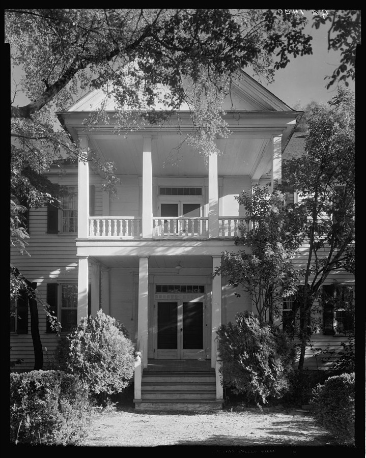
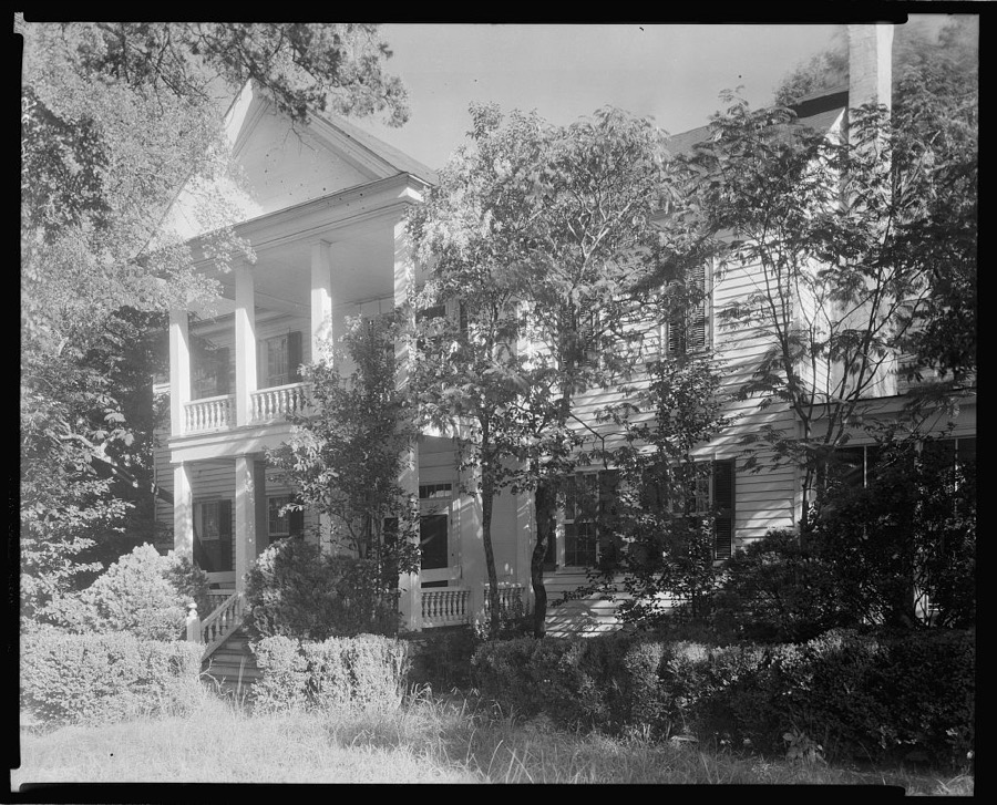
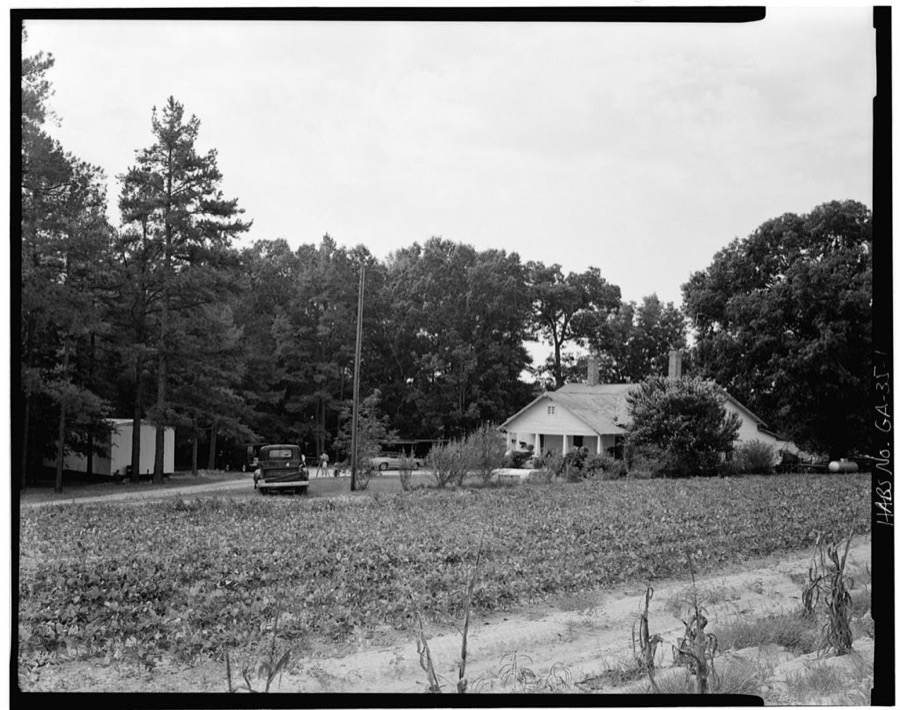
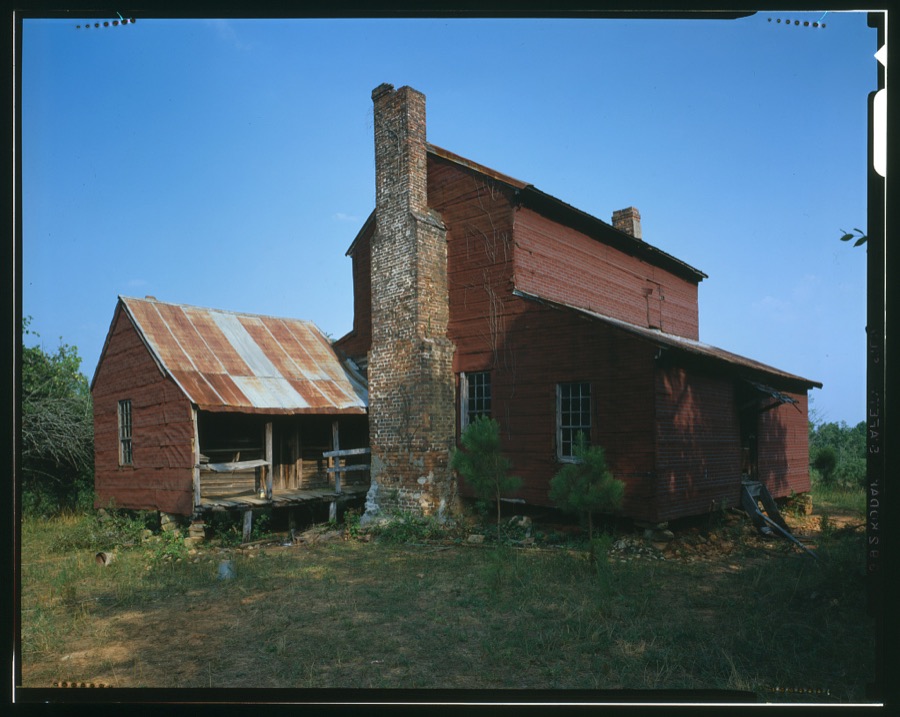
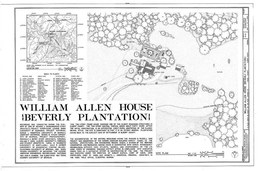
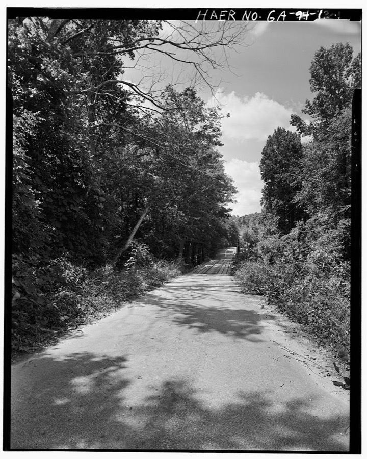
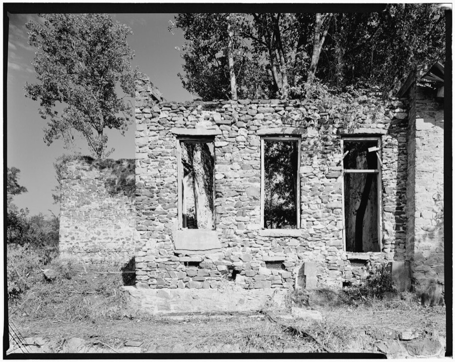
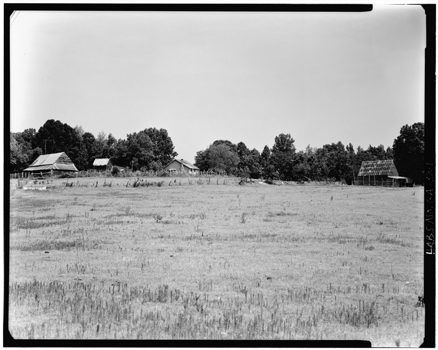
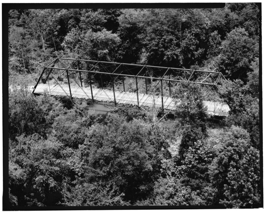
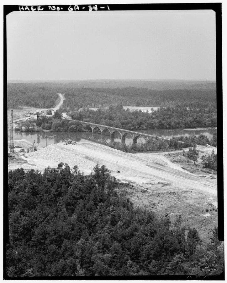
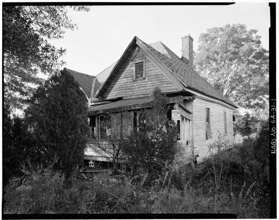
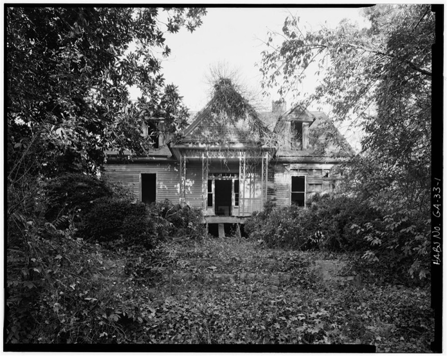
Every property in this county listed on the National Register of Historic Places, with the year it was listed and the federal nomination document.
| Photograph | Property | Type | Listed | Reference |
|---|---|---|---|---|
| Alexander-Cleveland House | building | 1977 | 77000423 | |
| William Allen House | building | 75000591 | ||
| Ralph Banks Place | building | 1978 | 78000978 | |
| Bowman Commercial Historic District | district | 2016 | 16000128 | |
| Building at 6 and 7 Public Square | building | 2009 | 09000750 | |
 | Asa Chandler House | building | 1982 | 82002409 |
| Dove Creek Baptist Church | building | 1987 | 87001154 | |
 | Elbert County Courthouse | building | 1980 | 80001017 |
 | Elberton Commercial Historic District | district | 1982 | 82002410 |
| Elberton Commercial Historic District (Boundary Increase and Additional Documentation) | district | 2015 | 15000411 | |
 | Elberton Depot | building | 1986 | 86002399 |
 | Elberton Residential Historic District | district | 1982 | 82002411 |
| Forest Avenue Historic District | district | 2015 | 15000102 | |
| Ralph Gaines House | building | 1977 | 77000422 | |
 | Rock Gym | building | 1998 | 98001559 |
| Rucker House | building | 1978 | 78000979 |
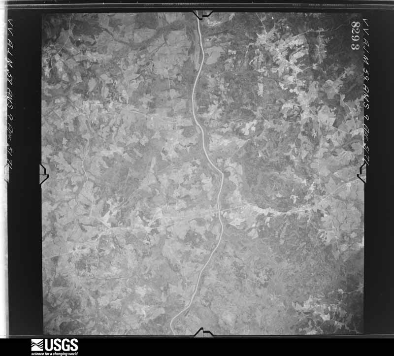
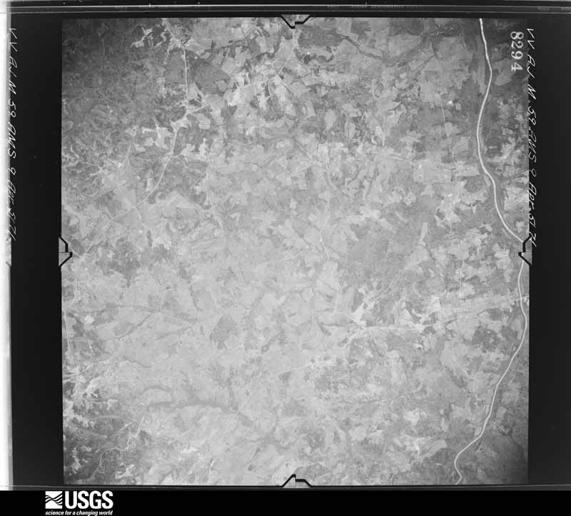
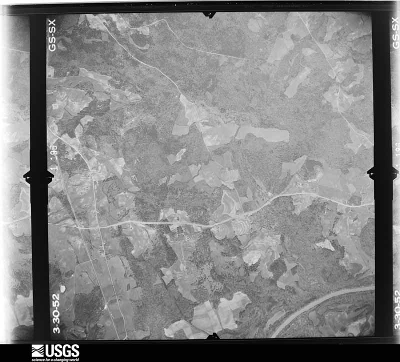
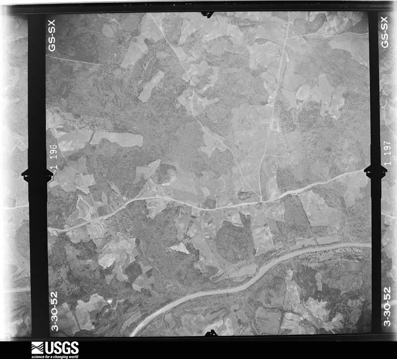
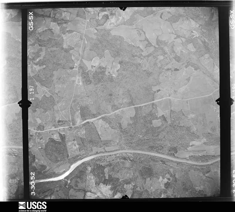
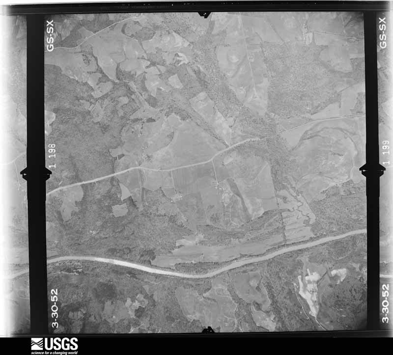
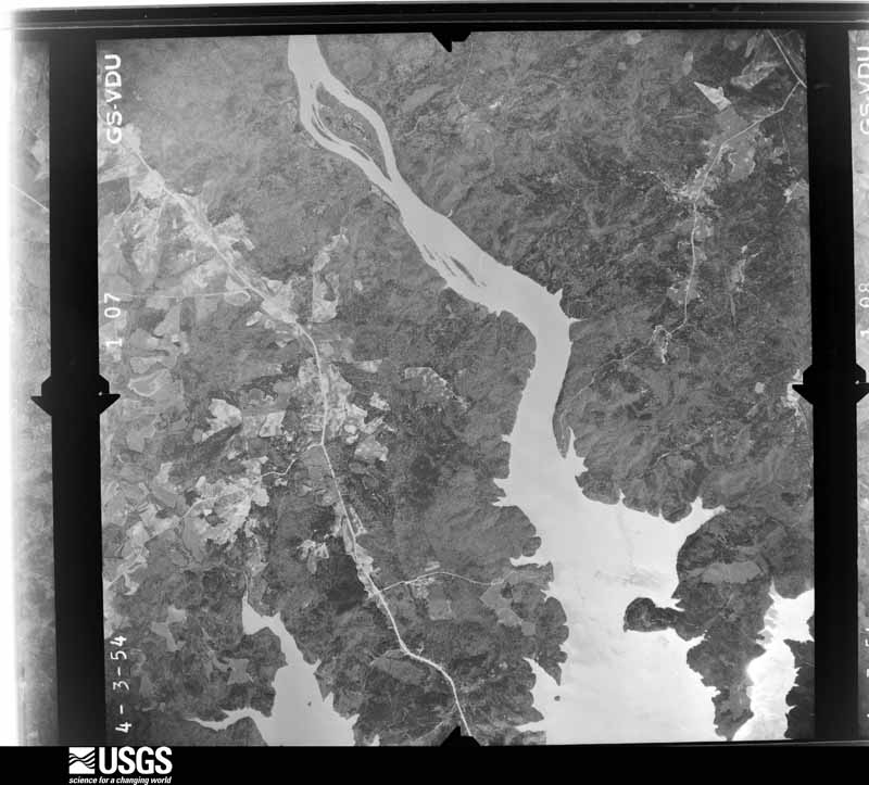
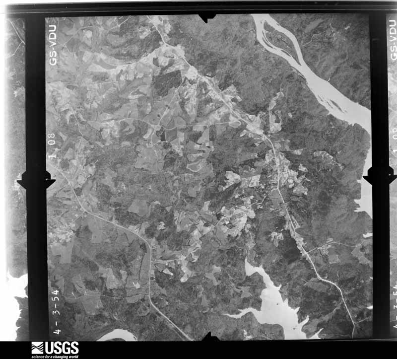
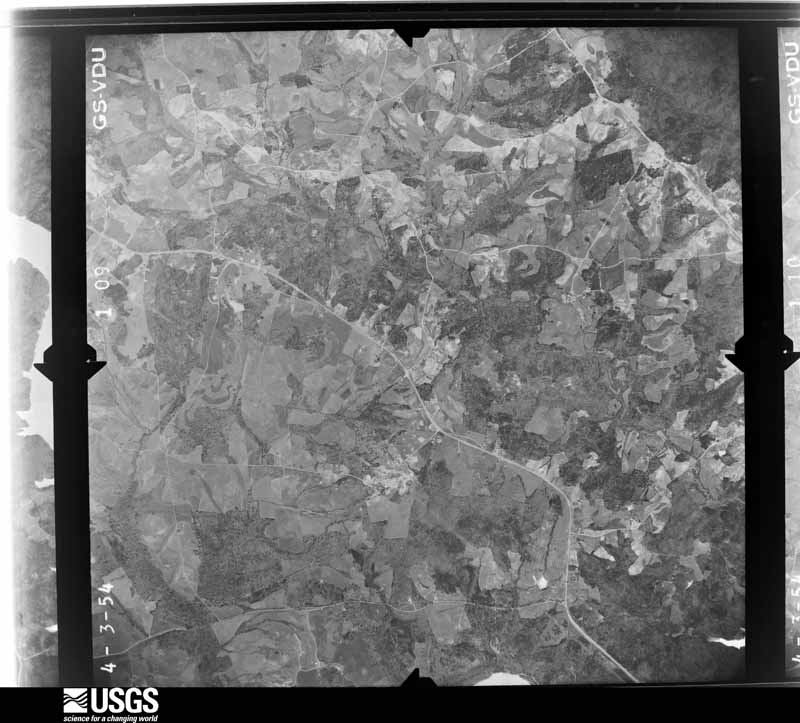
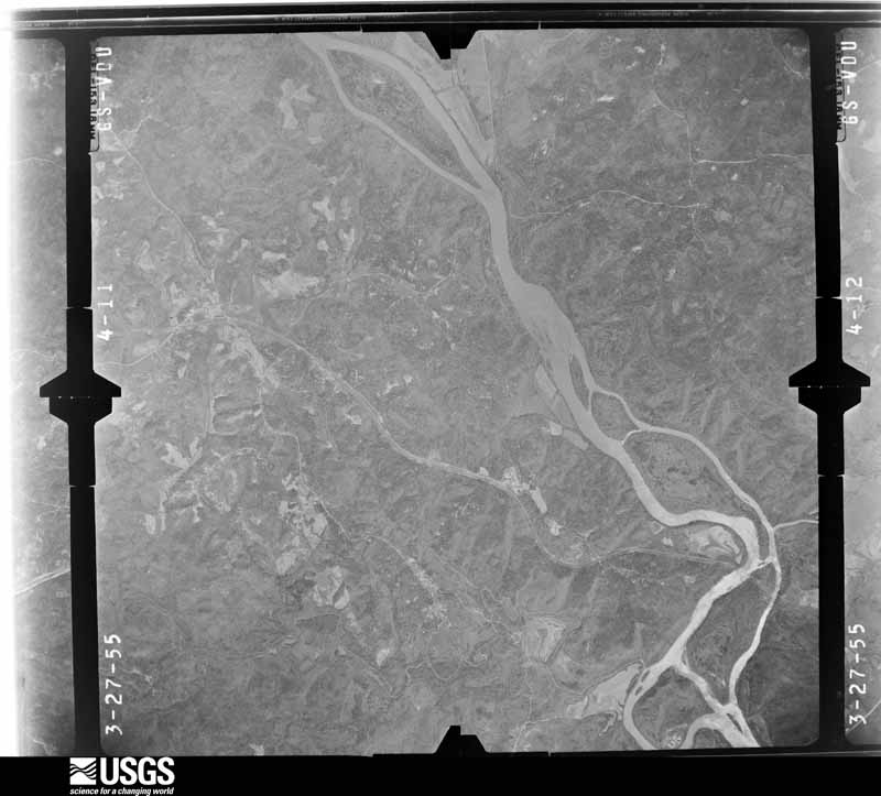
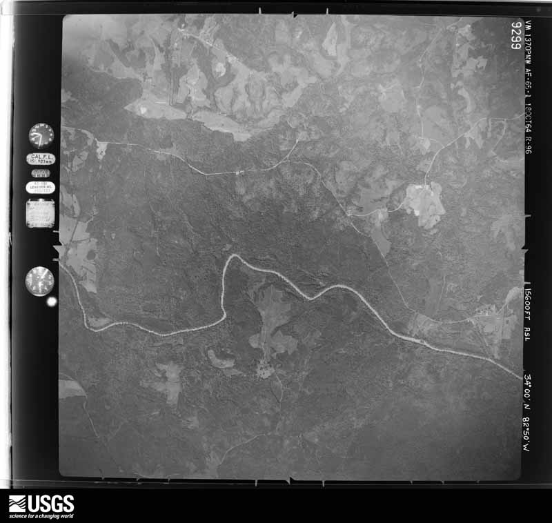
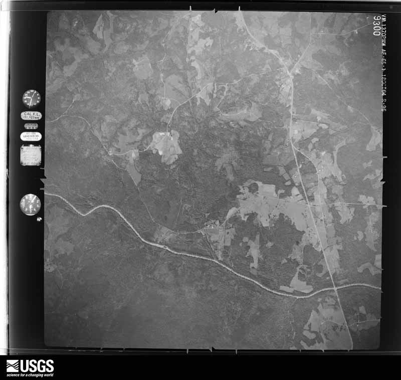
Flown by the U.S. Geological Survey between 1937 and 1989, the Aerial Photo Single Frames collection is the definitive mid-century view of the land: fields, roads and rivers as the camera saw them. The Survey holds 528 frames inside the rectangle that bounds this county; the 32 frames below were taken over the county itself, chosen across the decades of flights (at most four a year from that rectangle), so one flight cannot crowd out the rest. The full set is free to browse and download at EarthExplorer under the dataset Aerial Photo Single Frames.












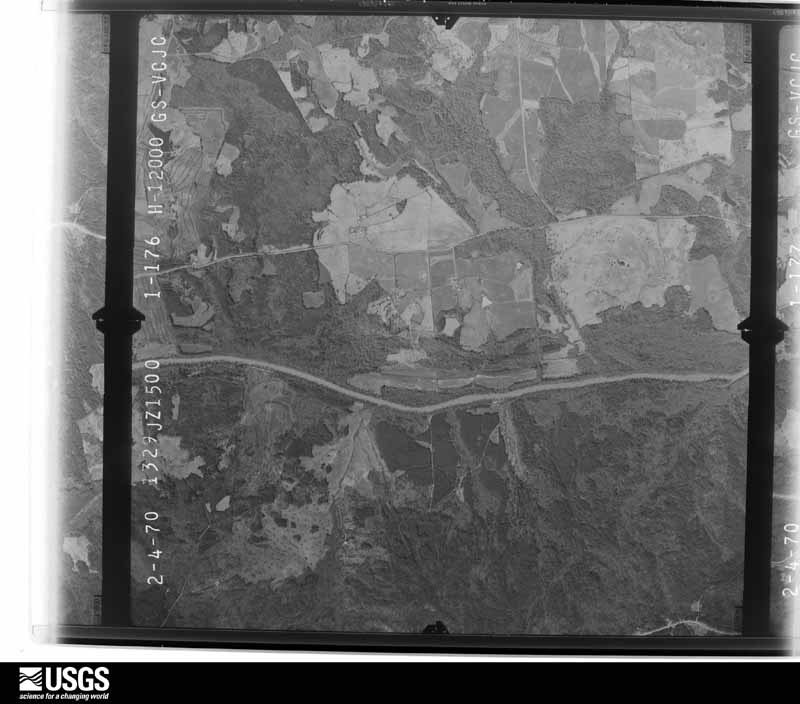
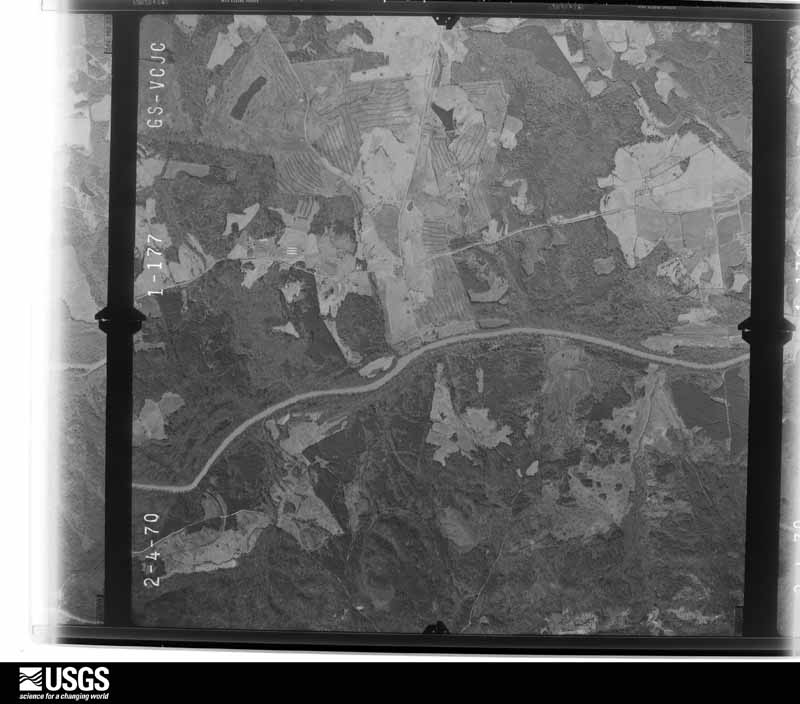
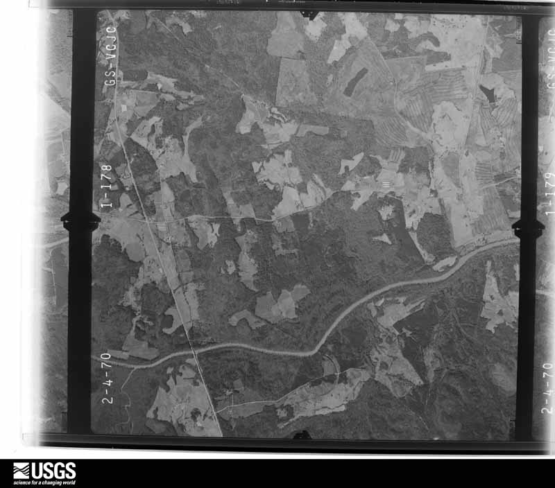
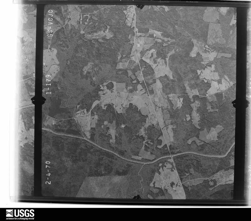
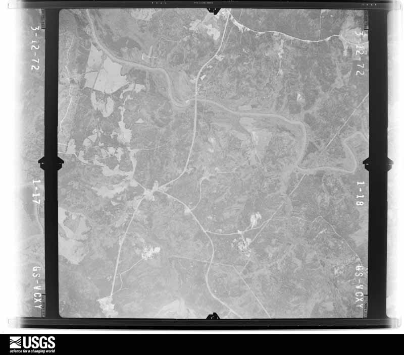
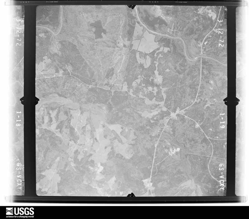

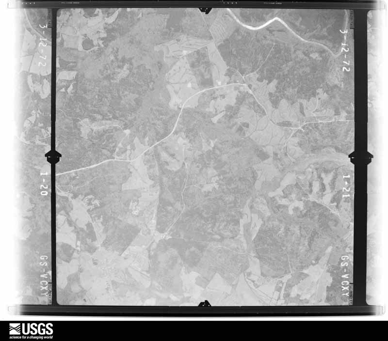
The thermometers that kept this county's weather, and the gages that measured the flow of its streams, as the federal records hold them. The extremes below are measured values from those records, not estimates.
Who lived here in 1950, one enumeration district at a time, as the Census Bureau described each district. Each row opens its official National Archives result, with Population Schedules and ED Maps available there.
Every wildfire the federal occurrence database records inside this county: 873 of them, burning about 1,942 acres. 32 started naturally and 64 were recorded as arson. Each settlement page carries the fires within five miles of it.
| Reported cause | Fires |
|---|---|
| Debris and open burning | 475 |
| Equipment and vehicle use | 101 |
| Arson/incendiarism | 64 |
| Missing data/not specified/undetermined | 62 |
| Smoking | 53 |
| Misuse of fire by a minor | 44 |
| Natural | 32 |
| Railroad operations and maintenance | 28 |
| Recreation and ceremony | 14 |
The five largest, by the area the report gives. None of them was recorded as arson.
| Date | Cause | Size | Reported by | Name on the report |
|---|---|---|---|---|
| 2 August 1995 | Debris and open burning | 163 acres | Georgia Forestry Commission | not named |
| 25 October 2016 | Debris and open burning | 73 acres | Georgia Forestry Commission | FY2017-ELBERT-013 |
| 10 March 2015 | Debris and open burning | 69 acres | Georgia Forestry Commission | FY2015-ELBERT-011 |
| 11 June 2006 | Debris and open burning | 47 acres | Georgia Forestry Commission | not named |
| 16 July 1995 | Natural | 39 acres | Georgia Forestry Commission | not named |
| 22 April 1995 | Natural | 37 acres | Georgia Forestry Commission | not named |
| 7 March 2005 | Railroad operations and maintenance | 35 acres | Georgia Forestry Commission | not named |
| 5 August 2006 | Natural | 34 acres | Georgia Forestry Commission | not named |
Every settlement page carries the fires within five miles of it - see the settlement index below.
The NOAA Storm Events Database holds 228 reports for this county, causing no deaths, 35 injuries and about $1,659,000 in recorded property damage. Each settlement page carries the reports that name it.
| Kind of event | Reports |
|---|---|
| Thunderstorm Wind | 126 |
| Hail | 60 |
| Flash Flood | 16 |
| Tornado | 15 |
| Flood | 7 |
| Lightning | 2 |
| Heavy Rain | 1 |
| Winter Storm | 1 |
The most serious of them, by death, then injury, then recorded damage. The accounts are quoted exactly as the forecast office filed them.
| When | Event | Place named | Harm | What the report says |
|---|---|---|---|---|
| March 1954 | Tornado (F2) | not stated | 20 hurt, $250,000 | no account filed |
| May 2003 | Tornado (F2) | Bowman | 12 hurt, $200,000 | This tornado moved from Madison County into northwest Elbert County and intensified, destroying or severely damaging several houses and mobile homes. A parked car was also flipped before the tornado lifted. |
| September 2004 | Tornado (F1) | Fortsonia | 1 hurt, $100,000 | This tornado touched down near Fortsonia, causing damage to a house. A resident of the house received minor injuries. Damage was mainly restricted to trees along the the remainder of the path. |
| April 1980 | Tornado (F1) | not stated | 1 hurt, $25,000 | no account filed |
| September 2006 | Thunderstorm Wind | Elberton | 1 hurt | Widespread tree damage in locations in and around Elberton. There was also some light structural damage. A man was injured and knocked unconscious for a while when a tree fell on his vehicle. Power was out to much of the city for several hours. |
| October 2021 | Flash Flood | Bowman | $250,000 | County comms and stream gauges reported significant flash flooding developed along multiple streams in northern Elbert County. Four to seven inches fell across the area in around a 24-hour period, but the bulk of that fell with a cluster of slow-moving thunderstorms during the morning of the 7th. Multiple roads were damaged from flood water, including Dusty Rd (from Butler Creek), where a vehicle was driven into high water and three occupants required rescue, Allen White Rd (from Deep Creek), Blue Hole Rd (from Little Dove Creek), Gin Bridge Rd, and Green Acres Rd (from a tributary of Pickens Creek). Additionally, a stream gauge on Beaverdam Creek north of Elberton indicated major flooding and a record stream level for the gauge (data from this gauge dates back to the late 1980s.) Multiple roads along the stream were damaged in Dewy Rose and vicinity, including Brickyard Rd, Horse Farm Rd, and Winns Mill Rd, while major damage occurred to a vacant building. |
| March 1972 | Tornado (F1) | not stated | $250,000 | no account filed |
| March 2008 | Tornado (EF2) | Elberton | $100,000 | NWS survey found a tornado damage track in far southern and southeast Elbert County. The tornado, which was spawned from a supercell, touched down southeast of Fortsonia near the intersection of River Rd and Flatwoods Rd. As the tornado tracked east along River Rd, damage was mainly confined to trees and power lines. The tornado began to take on a more east/southeast track near the intersection of River Rd and Balchin Rd, remaining just north of the Wilkes County line. Intensification occurred just west of highway 79 near its intersection with Cooter Creek Rd. The tornado continued to track east southeast, snapping or uprooting numerous trees between Cooter Creek Rd and the Broad River. Two homes received heavy roof damage consistent with EF2 intensity on Bramblett Circle along the Broad River. A boat dock was also lifted and tossed 25 feet in this area. The tornado continued to blow down trees before finally lifting in Bobby Brown State Park in the extreme southeast corner of the county. |
| November 2022 | Lightning | Montevideo | $75,000 | A lightning strike caused a structure on fire on Rock Branch Rd. |
| May 2021 | Tornado (EF1) | Silk Mills | $50,000 | NWS storm survey found the path of a weak, short track tornado along Bowman Highway just northwest of the city of Elberton. A large metal storage building was heavily damaged between Allen Lane and Lena Dr. Otherwise, damage was limited to a few snapped trees and downed limbs. |
| December 2009 | Flash Flood | Montevideo | $50,000 | A bridge was washed out on Kurt Anderson Rd. |
| February 2020 | Flood | Harper | $25,000 | Although heavy rain tapered off across Elbert County during the evening, stream levels on Beaverdam Creek continued to rise steadily throughout the morning of the 7th, and a stream gauge on the creek north of Elberton reflected the most significant flooding in at least 32 years. Major flooding occurred along the stream, with multiple roads washed out and water inundating at least one business along Brewers Bridge Rd. |
| September 2004 | Flash Flood | Elberton | $25,000 | Intense rainfall rates associated with the remnants of Hurricane Jeanne resulted in rapid rises and flash flooding along small creeks and streams during the evening hours. Several bridges and roads were damaged. |
| September 2004 | Tornado (F1) | Elberton | $25,000 | This brief tornado caused damage mainly to trees and power lines. |
| August 1999 | Thunderstorm Wind | Elberton | $25,000 | no account filed |
| July 1971 | Tornado (F1) | not stated | $25,000 | no account filed |
| June 2025 | Tornado (EF1) | Fortsonia | $20,000 | NWS storm survey found a brief tornado touched down in Bobby Brown State Park, downing trees across Bobby Brown State Park Road before intensifying as it crossed Ranger Road. Dozens of trees were snapped and uprooted as the tornado approached a cove along the Savannah River. Some structural damage to pavilions occurred at the Bobby Brown Recreational Center before the tornado crossed the Savannah River into McCormick County, SC just east of Ranger Dr. |
| October 2021 | Flood | Bowman | $20,000 | Although heavy rainfall ended across Elbert County by late morning, high water conditions persisted on multiple streams throughout the 7th and into the 8th, especially Beaverdam Creek. Numerous roads remained flooded and/or closed due to damage throughout this time. |
| February 2001 | Tornado (F0) | Bowman | $20,000 | no account filed |
| August 1999 | Thunderstorm Wind | Bowman | $20,000 | no account filed |
| July 1997 | Thunderstorm Wind | Elberton | $20,000 | no account filed |
| August 2023 | Thunderstorm Wind | Match | $15,000 | County comms reported numerous trees blown down across Elbert County. One tree was down on a house on Seymour Rd and the roof was blown off a barn in the northeast part of the county. |
| July 2013 | Flood | North Elberton | $10,000 | Flood waters from Beaverdam Creek covered portions of the Red Minnow Fish Lodge, located off of Brewers Bridge Road. Some mobile homes were flooded in this area as well. |
| July 2008 | Thunderstorm Wind | Elberton | $10,000 | Numerous trees and power lines were blown down in and around Elberton. One tree fell on a house on Athens highway. |
| July 2017 | Thunderstorm Wind | Goss | $7,000 | EM reported multiple trees uprooted, with at least one down on a vehicle, a shed blown over, and part of the roof off a barn in the area around Oakridge Rd, Cromer Rd, and Dickerson Rd. |
| February 2020 | Flash Flood | Harper | $5,000 | Flash flooding developed along the Beaverdam Creek basin in northern Elbert County after 3 to 5 inches of rain fell in about 24 hours, with much of that falling during the morning and afternoon of the 6th. Multiple roads were flooded along the stream from Bowman through Dewy Rose into areas just north of Elberton. |
| September 2020 | Flash Flood | North Elberton | $5,000 | A stream gauge on Beaverdam Creek north of Elberton exceeded its established flood stage after 2 to 3 inches of rain fell in around 12 hours. At this level, a couple of unpaved roads are inundated in the Dewy Rose community and the crawl space of a restaurant is flooded on Brewers Bridge Rd. In addition, county comms reported a tributary of Van Creek overflowed its banks and inundated Amberley Rd in the northeast part of the county. |
| July 2013 | Flash Flood | Dewey Rose | $5,000 | Brick Yard Road flooded along Beaverdam Creek. A mobile home was flooded up to the foundation in this area. Horse Farm Road was also flooded about a mile downstream from this location along Beaverdam Creek. |
| October 2009 | Flood | Bowman | $5,000 | After 3 to 4 inches of rain fell over a widespread area in about a twelve-hour period, flooding developed along Wahachee Creek, affecting portions of Edison Rd and Dr. George Ward Rd. Both roads were closed. Also, Beaverdam Creek overflowed its banks in the northern part of the county, flooding Horse Farm Rd and Brickyard Rd and flooding a restaurant on Brewers Bridge Rd. Kurt Anderson Rd was also closed for a while. |
| October 2003 | Flash Flood | Elberton | $5,000 | As much as 6 inches of rain fell across northern Elbert County during the morning hours, which resulted in significant flash flooding across the area by early afternoon. Portions of several roads were washed out, as were some culverts. Other roads were blocked for some time due to flooded creeks. |
| May 2003 | Tornado (F1) | Ruckersville | $3,000 | This tornado blew down numerous trees and power lines in areas from highway 368, to Ruckersville, to Russell Lake. The most concentrated damage occurred near highway 368. |
| July 1980 | Tornado (F1) | not stated | $2,500 | no account filed |
| March 2002 | Thunderstorm Wind | Elberton | $2,000 | Power lines were blown down and a railroad crossing gate was destroyed. |
| January 2024 | Flood | Harper | $1,000 | A stream gauge on Beaverdam Creek indicated flooding developed along the basin in northern Elbert County after 3 to 4 inches of rain fell in less 12 to 18 hours. Multiple, mainly unpaved roads were flooded along the stream from Bowman through Dewy Rose into areas just north of Elberton. |
| January 2023 | Flood | Harper | $1,000 | A stream gauge on Beaverdam Creek indicated flooding developed along the basin in northern Elbert County after 3 to 4.5 inches of rain fell in less than 24 hours. Multiple, mainly unpaved roads were flooded along the stream from Bowman through Dewy Rose into areas just north of Elberton. |
| January 2023 | Thunderstorm Wind | Pearl | $1,000 | Fire dept reported more than a dozen trees blown down, along with snapped power lines and a brick retaining wall blown over. |
| December 2015 | Flash Flood | Fortsonia | $1,000 | County comms reported minor flash flooding across the southern part of Elbert County, after around 2 inches of rain fell in just a few hours. Chastain Rd was closed, possibly due to flooding along a tributary of Wahachee Creek. Wahachee Creek also overflowed its banks and flooded Morgan Ln, briefly threatening a home. |
| November 2015 | Flood | Goss | $1,000 | County comms and automated stream gauges indicated flooding developed across northern portions of Elbert County after more than 4 inches of rain fell in 36 hours, with much of that falling on the morning of the 2nd. A gauge on Beaverdam Creek exceeded its established flood stage, indicating flooding of Brickyard Rd and Horse Farm Rd. County comms also reported water over the bridge on Brown Brothers Rd. Amberly Rd was also flooded by water from a tributary of Van Creek. |
| May 2004 | Thunderstorm Wind | Elberton | $1,000 | Some trees and power lines were blown down. |
| May 2002 | Thunderstorm Wind | Elberton | $1,000 | Some trees and powerlines were blown down. |
| June 2002 | Thunderstorm Wind | Elberton | $1,000 | Some trees and powerlines were blown down. |
| July 2019 | Thunderstorm Wind | Cauthen | $500 | County comms reported a tree blown down on Lexington Highway and another tree down on a vehicle on Elbert St in Elberton. |
| December 2015 | Flash Flood | Harper | $500 | After around 2 inches of rain fell across much of Elbert County, a stream gauge on Beaverdam Creek in the far northern part of the county exceeded established flood stage, indicating flooding of Brickyard Rd and Horse Farm Rd. |
| June 1994 | Thunderstorm Wind | Elberton | $500 | A few large trees were blown down by thunderstorm winds. |
| March 2026 | Thunderstorm Wind | Ruckersville | - | Utility company reported trees blown down on power lines and causing an outage along Luther Burton Rd. |
| May 2025 | Hail | North Elberton | - | Public reported quarter size hail. |
| March 2025 | Thunderstorm Wind | Bowman | - | Utility company reported trees blown down on power lines in the Bowman area. Public reported several trees down in Elberton and vicinity. |
| June 2025 | Thunderstorm Wind | Dewey Rose | - | Utility company and public (via Social Media) reported multiple trees and power lines blown down north of Elberton, including on Highway 77. |
| November 2025 | Hail | Silk Mills | - | County comms relayed multiple reports of quarter sized hail in and near the town of Elberton. |
| January 2025 | Winter Storm | not stated | - | Widespread 5 to 8 inches of snow across Dooly County. Numerous roads quickly become icy and snow-packed resulting in extremely treacherous driving conditions. |
| May 2024 | Hail | North Elberton | - | Ham radio operator reported quarter size hail near the intersection of Highways 368 and 77. |
| May 2024 | Thunderstorm Wind | Pearl | - | Spotter reported a couple of trees blown down near Russell Dam. |
| May 2024 | Hail | Montevideo | - | Ham radio operator reported ping pong ball size hail near the intersection of Highway 368 and Rock Branch Rd. |
| July 2024 | Thunderstorm Wind | Fortsonia | - | County comms reported numerous trees blown down between Elberton and Fortsonia. |
| July 2024 | Thunderstorm Wind | Montevideo | - | County comms reported a few trees blown down in the northern part of the county. |
| April 2024 | Thunderstorm Wind | Elberton | - | County comms reported three trees blown down in the city of Elberton. |
| December 2024 | Thunderstorm Wind | Elberton Elbert Arpt | - | County comms reported a tree blown down on Mobley Hill Rd and another tree down on Wahatchee Creek Rd. |
| July 2023 | Thunderstorm Wind | Montevideo | - | County comms and the public reported multiple trees blown down along Montevideo Rd. |
| August 2023 | Thunderstorm Wind | Dewey Rose | - | Emergency manager reported multiple trees blown down across roads from the Centerville and Harmony communities across the city of Elberton, to Bobby Brown State Park. |
| August 2023 | Thunderstorm Wind | Elberton | - | County comms reported multiple trees blown down in the city of Elberton, with some on power lines. |
The Survey's mineral resources record lists 46 workings inside this county. 13 still produce and 33 are closed or unrecorded. Each settlement page carries the workings within five miles of it.
| Commodity | Workings |
|---|---|
| Mica | 22 |
| Granite | 15 |
| Gold | 3 |
| Stone, Crushed/Broken | 3 |
| Feldspar | 1 |
| Sand and Gravel, Construction | 1 |
| Kyanite | 1 |
| Stone, Dimension | 1 |
The least common of them first, because a county's hundredth gravel pit says nothing its first ten did not.
| Where | Site | Commodity | Status | Recorded |
|---|---|---|---|---|
| Continental Quarry | Stone, Dimension | Past Producer | ||
| Cooley Mine | Mica, Feldspar | Past Producer | ||
| Norman Sillimanite Prospect | Kyanite | Prospect | ||
| Turner Sand Operations | Sand and Gravel, Construction | Producer | ||
| Brown Property | Gold | Past Producer | Stream Placer | |
| Childs Brothers Quarry | Stone, Crushed/Broken | Producer | ||
| Dravo-Groves Rock Processing Plant | Stone, Crushed/Broken | Plant | ||
| Ginn Placer | Gold | Past Producer | Stream Placer | |
| Ginn Placer | Gold | Past Producer | Stream Placer | |
| Old Harper Quarry | Stone, Crushed/Broken | Past Producer | ||
| Adams Quarry | Granite | Producer | ||
| Beaver Dam Quarry | Granite | Past Producer | ||
| Blue Diamond Quarry | Granite | Producer | ||
| Blue Ribbon Quarry | Granite | Past Producer | ||
| Coronet Quarry | Granite | Past Producer | ||
| Hedquist Pink Quarry Keystone Gr | Granite | Producer | ||
| Highpoint Quarry | Granite | Producer | ||
| Peerless Extra Blue Quarry | Granite | Producer | ||
| Pyramid Quarry | Granite | Producer | ||
| Robin Blue Quarry | Granite | Producer | ||
| Scales Quarry | Granite | Past Producer | ||
| Sweet City Quarry | Granite | Producer | ||
| Swift Quarry Mcclanahan | Granite | Producer | ||
| Veal Blue Quarry | Granite | Past Producer | ||
| Worley Blue Quarry | Granite | Producer | ||
| Adams Mine | Mica | Prospect | ||
| Albert Brown Prospect | Mica | Prospect | ||
| Alexander Mine | Mica | Past Producer | ||
| Anderson Mine | Mica | Past Producer | ||
| C U Gaines Prospect | Mica | Prospect | ||
| Chapman Mine | Mica | Past Producer | ||
| Church Prospect | Mica | Prospect | ||
| Crawford Mine | Mica | Past Producer | ||
| Daniel Mine | Mica | Past Producer | ||
| Dewey Rose Prospect | Mica | Prospect | ||
| Frank Mewburn Prospect | Mica | Prospect | ||
| Heard Mine | Mica | Prospect | ||
| J H Craft Prospect | Mica | Prospect | ||
| J H Moore Mine | Mica | Prospect | ||
| J M Skelton Prospect | Mica | Prospect | ||
| M L Gaines Mine | Mica | Past Producer | ||
| New Bethel M E Church Prospect | Mica | Prospect | ||
| Rock Branch Church Prospect | Mica | Prospect | ||
| Turner Prospect | Mica | Prospect | ||
| Unnamed Mica Prospect | Mica | Prospect | ||
| Ward Prospect | Mica | Prospect |
Named settlements recorded in the Geographic Names Information System, each with the topographic sheets covering it. Villages, hamlets and abandoned places alike. Each is shown with the nearest named watercourse or landform and the survey quadrangle it falls on. The 1 place that was also surveyed for fire insurance comes first, with the number of atlases and photographs held for them.
Elberton census division · 30635 · Elberton East quadrangle
15 sheets, 1893 to 1979
Fire insurance: 10 atlases
Elberton census division · 30635 · On Falling Creek · Jacksons Crossroads quadrangle
12 sheets, 1906 to 1988
Coldwater census division · 30635 · On Blue Branch · Heardmont quadrangle
14 sheets, 1893 to 1979
Coldwater census division · 30635 · On Carters Creek · Rock Branch quadrangle
14 sheets, 1893 to 1979
Coldwater census division · 30635 · On Double Branch · Rock Branch quadrangle
14 sheets, 1893 to 1979
Coldwater census division · 30635 · Rock Branch quadrangle
14 sheets, 1893 to 1979
No longer a settlement
Elberton census division · 30635 · On Little Dove Creek · Elberton West quadrangle
15 sheets, 1893 to 1979
Coldwater census division · 30635 · On Coldwater Creek · Lowndesville quadrangle
14 sheets, 1893 to 1979
No longer a settlement
Coldwater census division · 30635 · Near McCalla Island (historical) · Heardmont quadrangle
14 sheets, 1893 to 1979
Elberton census division · 30635 · On Reedy Branch · Broad quadrangle
13 sheets, 1906 to 1988
No longer a settlement
Elberton census division · 30635 · On Deep Creek · Carlton quadrangle
14 sheets, 1891 to 1979
Elberton census division · 30635 · On Carters Creek · Rock Branch quadrangle
14 sheets, 1893 to 1979
Elberton census division · 30635 · On Little Dove Creek · Elberton West quadrangle
15 sheets, 1893 to 1979
Coldwater census division · 30635 · On Blue Branch · Heardmont quadrangle
14 sheets, 1893 to 1979
Coldwater census division · 30635 · On Rock Branch · Rock Branch quadrangle
14 sheets, 1893 to 1979
Bowman census division · 30624 · On Fork Creek · Bowman quadrangle
14 sheets, 1891 to 1979
Elberton census division · 30635 · Heardmont quadrangle
14 sheets, 1893 to 1979
No longer a settlement
The vanished settlements of Elbert County: the places named above that are no longer on the map.
15 topographic sheets and 10 fire insurance atlases, 1885 to 1950
The complete index, with nothing left out. Each of these is a separate record with its own page: a federal survey report, or the case file that argued a property on to the National Register. Both are public domain and reproduced word for word.
The vanished settlements of Elbert County, the places these records name that are no longer on the map.