 Block
From the record
9 National Register listings published here.
Sources: the National Register database, National Park Service
29 topographic sheets and 4 fire insurance atlases across 1 place.
9 National Register listings published here.
Sources: the National Register database, National Park Service
Taken for the Office of War Information and the Farm Security Administration, who photographed the country between 1935 and 1944. Works of United States government photographers, with no known restriction on use. Each opens its catalogue record.
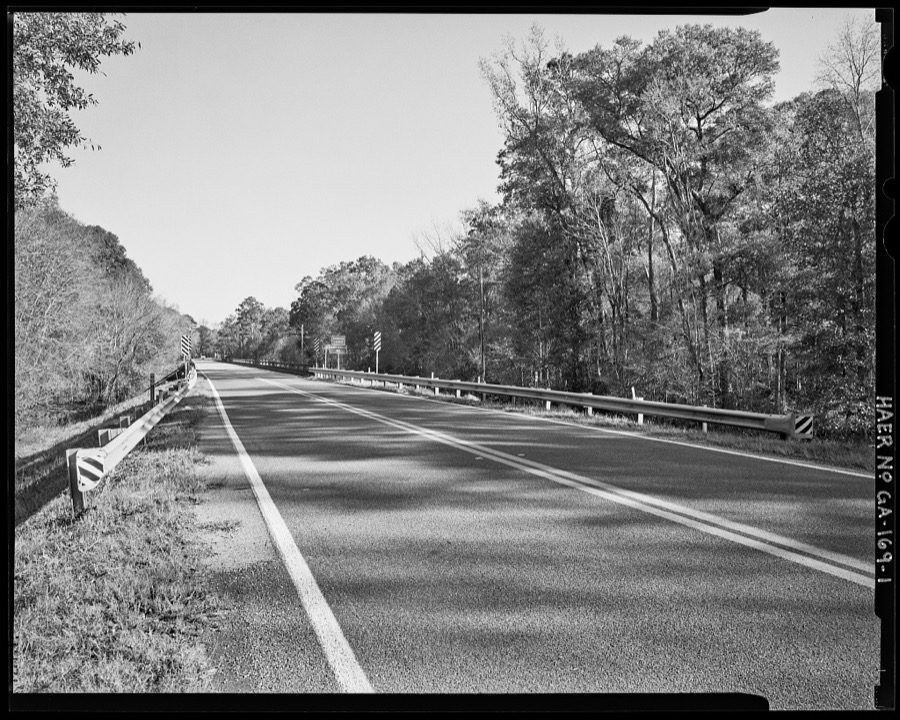
Every property in this county listed on the National Register of Historic Places, with the year it was listed and the federal nomination document.
| Photograph | Property | Type | Listed | Reference |
|---|---|---|---|---|
 | James Coleman House | building | 1992 | 92000384 |
 | Josiah Davis House | building | 1982 | 82000145 |
 | Davis-Proctor House | building | 2010 | 10001049 |
 | Albert Neal Durden House | building | 1990 | 90000561 |
 | Emanuel County Courthouse and Sheriff Department | building | 1995 | 95000715 |
 | First Methodist Episcopal Church | building | 1999 | 99000160 |
 | John Rountree Log House | building | 1997 | 97000841 |
 | Swainsboro Light and Water Plant | building | 2004 | 04001184 |
 | Twin City Historic District | district | 2014 | 13001168 |
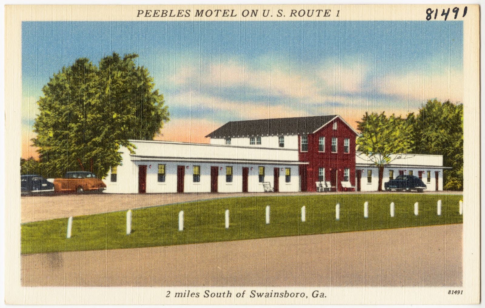
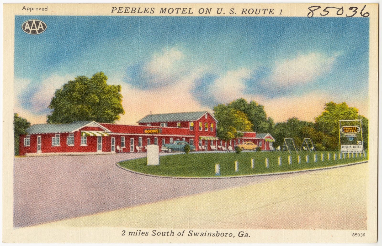
Selected from the Digital Public Library of America's 3 image records catalogued for this county. Every one shown here carries a public-domain status or a licence that permits reuse on a site that carries advertising; non-commercial, share-alike and restricted images are excluded. The selection is spread across the county's towns (at most eight per town), so no single institution's bulk upload crowds out the rest. Each opens the holding library's record, and the complete set at the Digital Public Library of America is one click away.

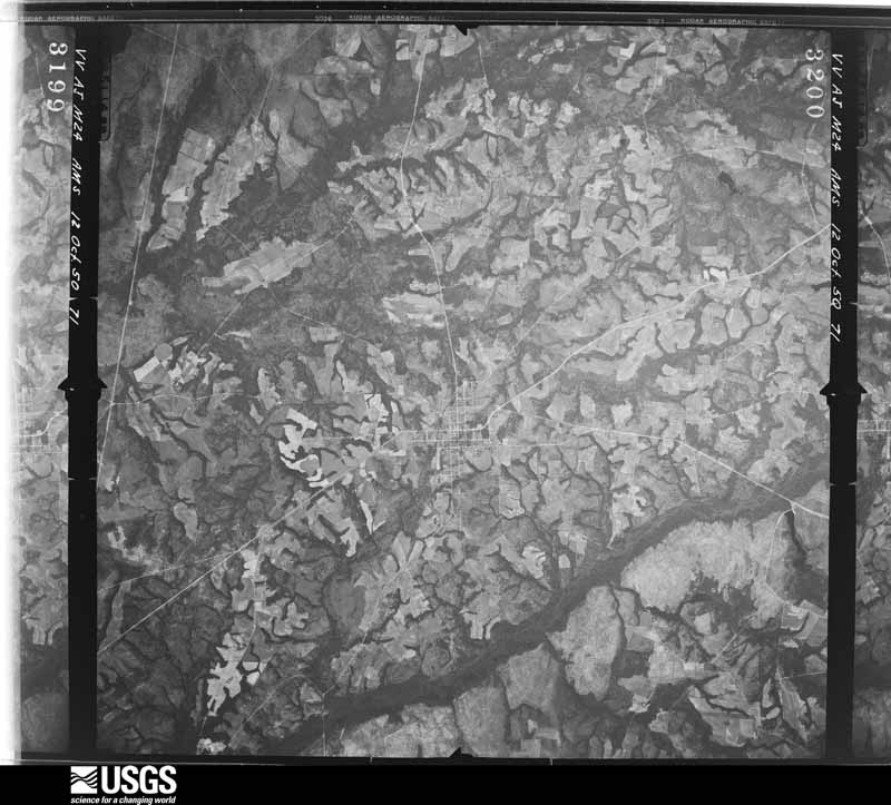
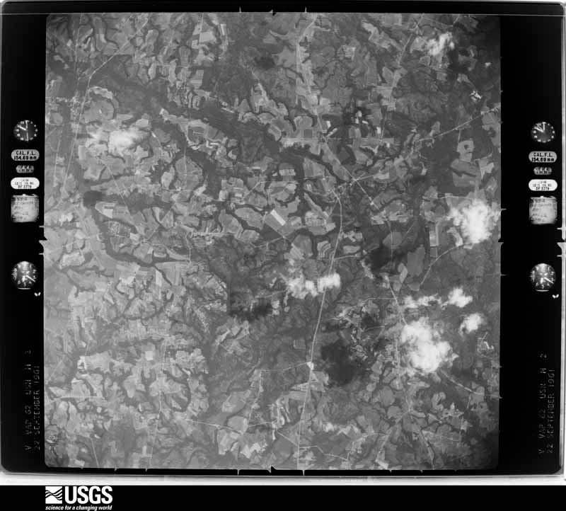
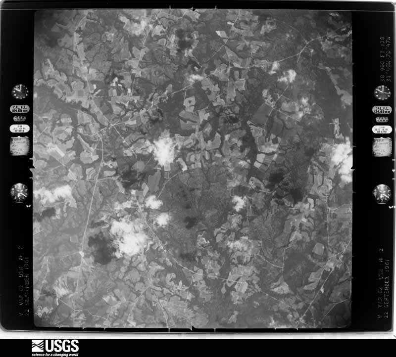
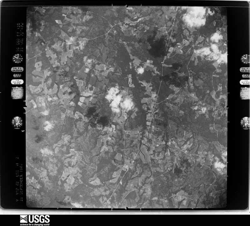
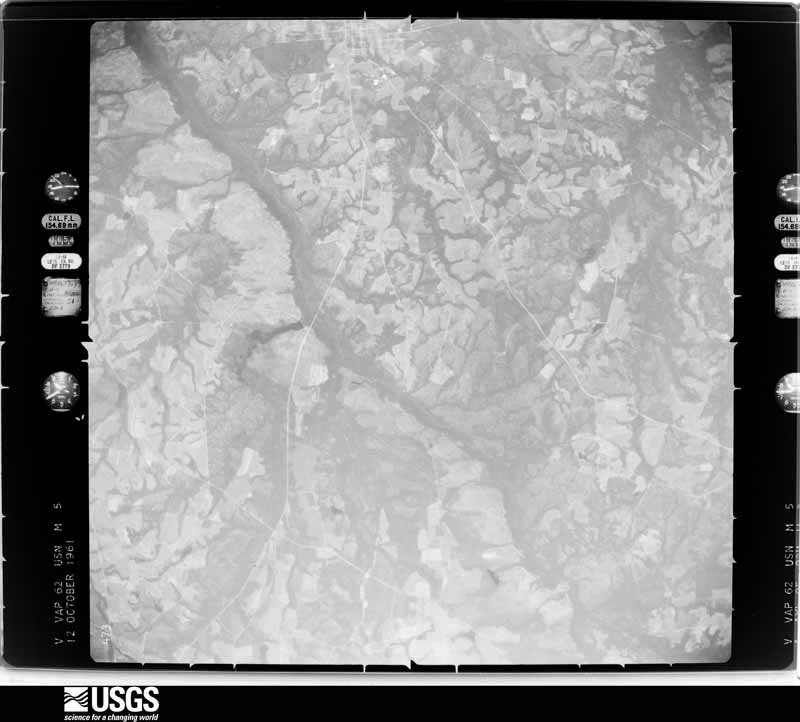
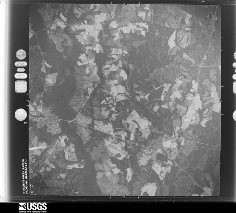
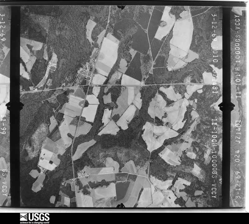
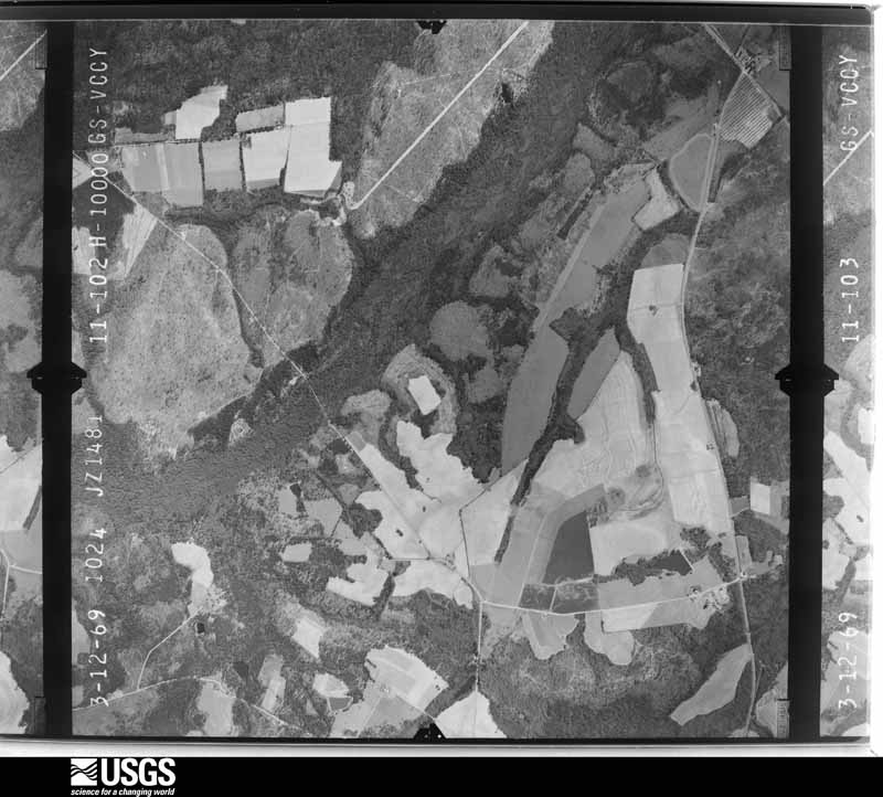
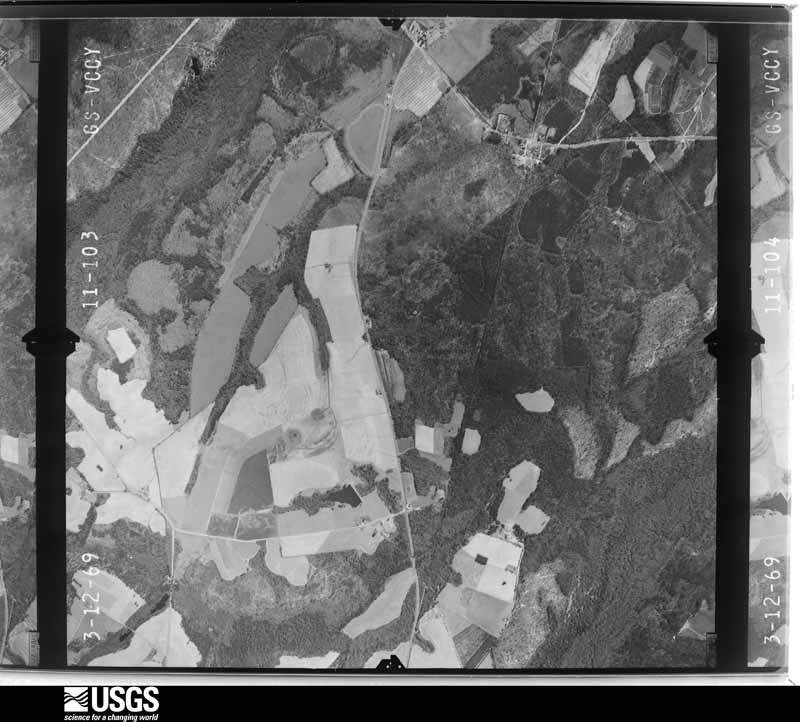
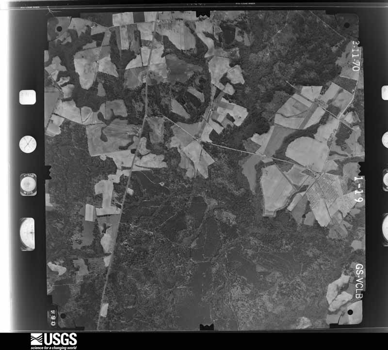
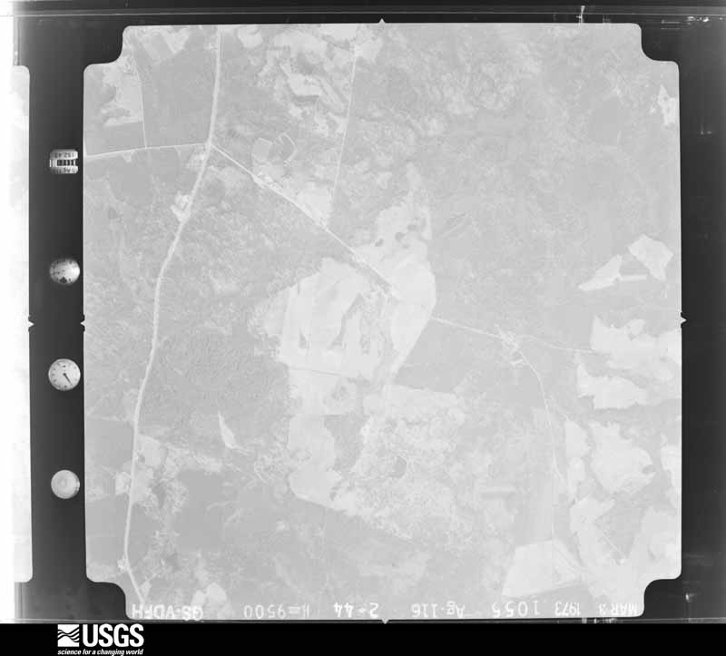
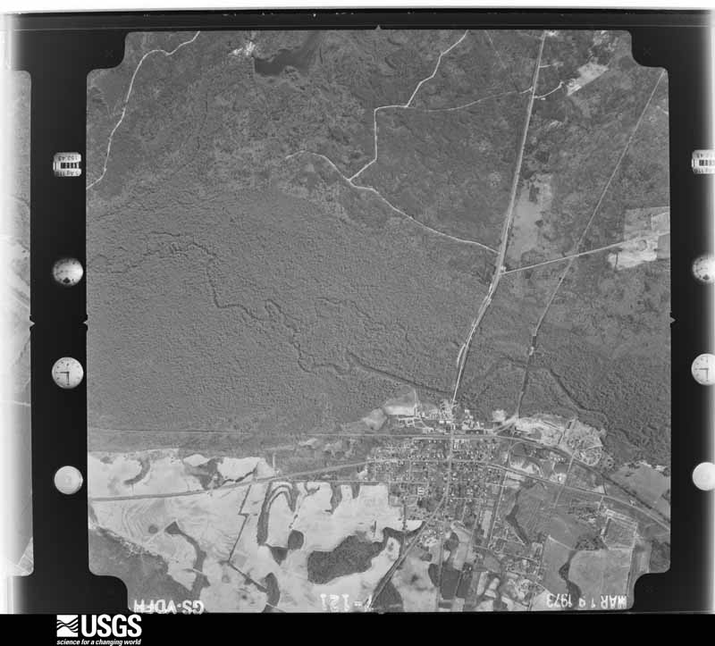
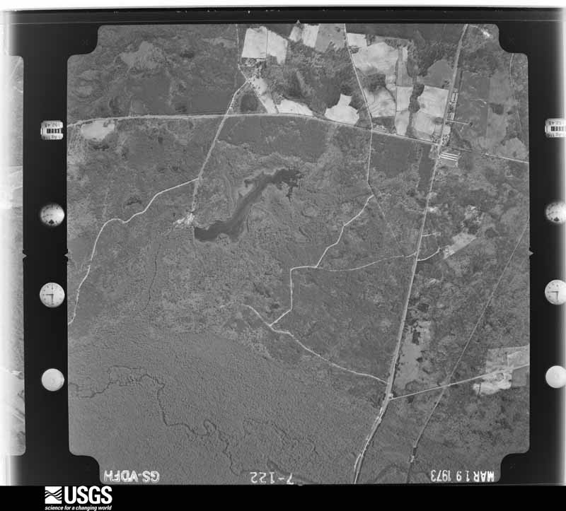
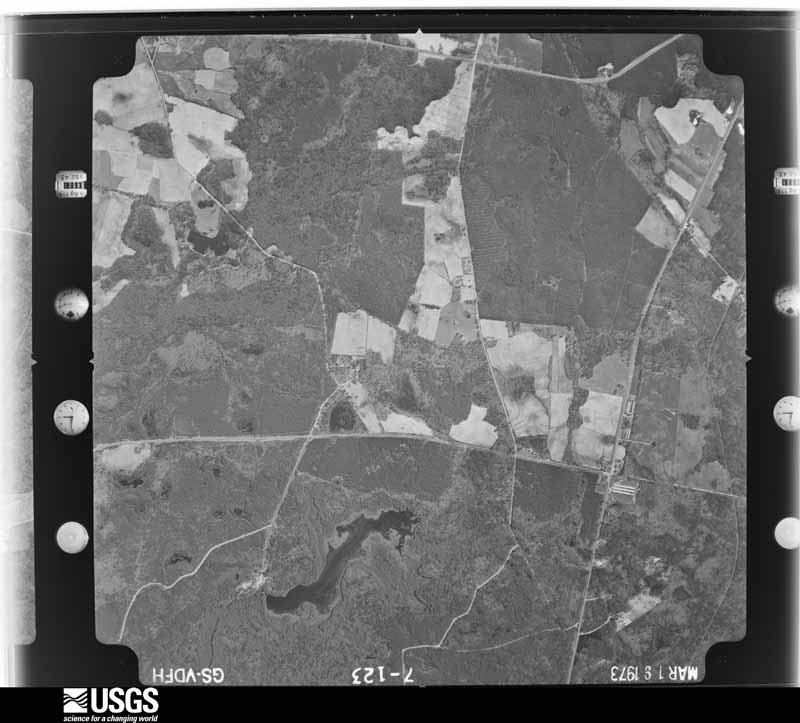
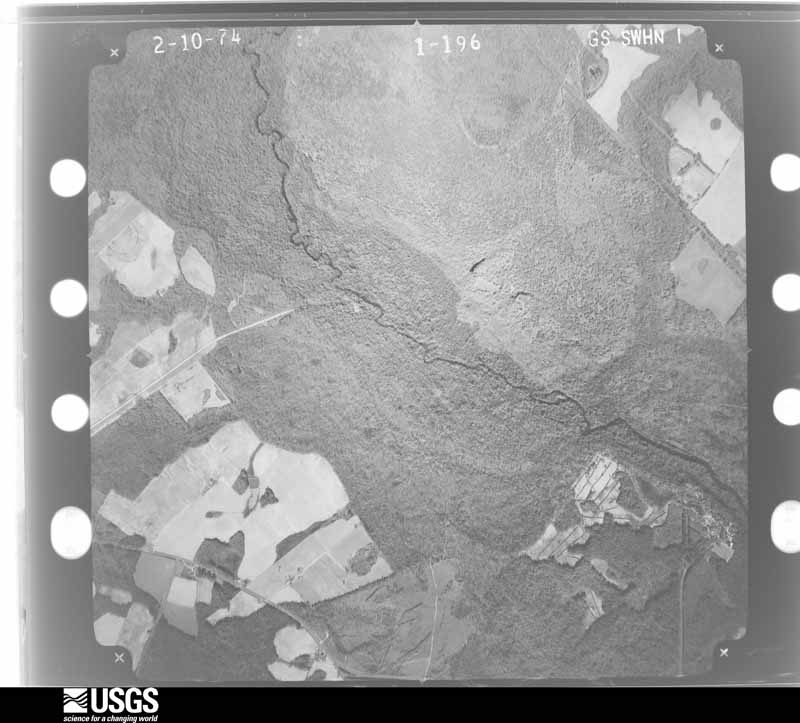
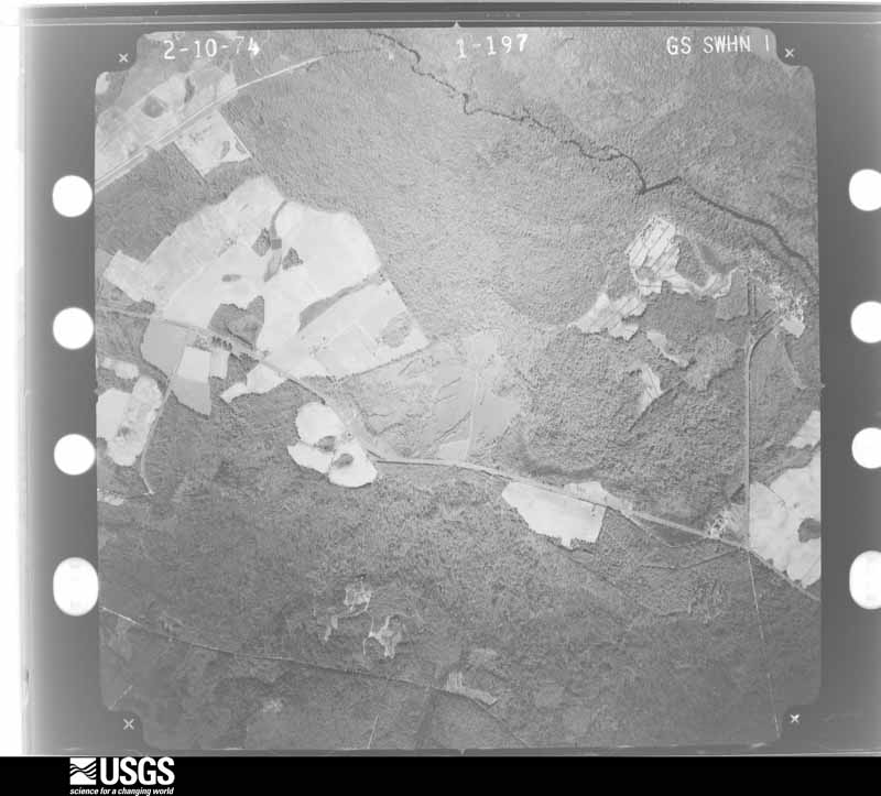
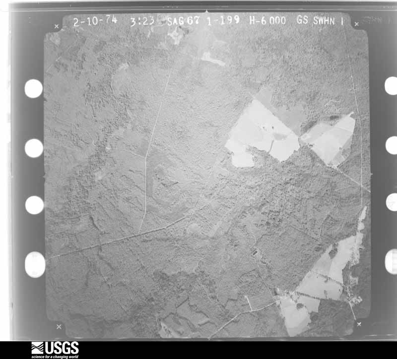
Flown by the U.S. Geological Survey between 1937 and 1989, the Aerial Photo Single Frames collection is the definitive mid-century view of the land: fields, roads and rivers as the camera saw them. The Survey holds 1,493 frames inside the rectangle that bounds this county; the 32 frames below were taken over the county itself, chosen across the decades of flights (at most four a year from that rectangle), so one flight cannot crowd out the rest. The full set is free to browse and download at EarthExplorer under the dataset Aerial Photo Single Frames.















The thermometers that kept this county's weather, and the gages that measured the flow of its streams, as the federal records hold them. The extremes below are measured values from those records, not estimates.
Who lived here in 1950, one enumeration district at a time, as the Census Bureau described each district. Each row opens its official National Archives result, with Population Schedules and ED Maps available there.
Every wildfire the federal occurrence database records inside this county: 2,272 of them, burning about 11,298 acres. 138 started naturally and 392 were recorded as arson. Each settlement page carries the fires within five miles of it.
| Reported cause | Fires |
|---|---|
| Debris and open burning | 1339 |
| Arson/incendiarism | 392 |
| Equipment and vehicle use | 144 |
| Natural | 138 |
| Missing data/not specified/undetermined | 84 |
| Misuse of fire by a minor | 66 |
| Recreation and ceremony | 65 |
| Smoking | 26 |
| Railroad operations and maintenance | 18 |
The five largest, by the area the report gives. Two of them were set deliberately.
| Date | Cause | Size | Reported by | Name on the report |
|---|---|---|---|---|
| 15 March 1994 | Debris and open burning | 469 acres | Georgia Forestry Commission | not named |
| 18 March 1994 | Arson/incendiarism | 367 acres | Georgia Forestry Commission | not named |
| 10 March 2018 | Arson/incendiarism | 168 acres | Georgia Forestry Commission | FY2018EMANUEL053 |
| 19 February 2011 | Debris and open burning | 123 acres | Georgia Forestry Commission | FY2011-EMANUEL-057 |
| 2 August 2019 | Natural | 116 acres | Georgia Forestry Commission | FY2020EMANUEL007 |
| 14 March 2013 | Debris and open burning | 116 acres | Georgia Forestry Commission | FY2013-EMANUEL-063 |
| 19 January 2002 | Debris and open burning | 116 acres | Georgia Forestry Commission | FY2002-EMANUEL-056 |
| 18 April 1992 | Debris and open burning | 106 acres | Georgia Forestry Commission | not named |
Every settlement page carries the fires within five miles of it - see the settlement index below.
The NOAA Storm Events Database holds 193 reports for this county, causing 1 death, 4 injuries and about $3,317,250 in recorded property damage. Each settlement page carries the reports that name it.
| Kind of event | Reports |
|---|---|
| Thunderstorm Wind | 115 |
| Hail | 49 |
| Tornado | 15 |
| Lightning | 6 |
| Flash Flood | 4 |
| Flood | 3 |
| Winter Storm | 1 |
The most serious of them, by death, then injury, then recorded damage. The accounts are quoted exactly as the forecast office filed them.
| When | Event | Place named | Harm | What the report says |
|---|---|---|---|---|
| July 1970 | Tornado (F2) | not stated | 1 killed, 1 hurt, $25,000 | no account filed |
| July 2018 | Flash Flood | Garfield | 2 hurt, $50,000 | Fire Chief reported failure of a small dam, washing out a 20 foot section of Gray Mule Farm Road near Johnson Gay Road in Garfield. The dam was located about 0.45 miles northeast of the washout location, embedded within woods. Two people were injured when a pickup truck encountered the washed out section of the road. One was air lifted to Augusta with serious injuries. |
| January 1952 | Tornado (F1) | not stated | 1 hurt, $2,500 | no account filed |
| May 2008 | Tornado (EF2) | Blundale | $750,000 | A damage survey conducted by the National Weather Service in Peachtree City, Georgia confirmed that the second tornado, an EF2, that touched down in far eastern Johnson county, just northwest of Kite, continued on an east-northeastward track into far northwestern Emanuel county, lifting approximately one mile west of Blundale, just north of Cordie Road. Maximum winds within the tornado were estimated to be 130 mph with a maximum path width up to 1/2 mile as the tornado first entered Emanuel county. Approximately 28 homes in Emanuel county sustained damage from the tornado, two of which were destroyed, 13 of which suffered major damage, and 10 had minor damage. |
| August 2010 | Lightning | Stillmore | $500,000 | The Savannah Morning News reported that lightning struck the high school wing of the David Emanuel Academy near Stillmore in rural southeast Emanuel county. The two-story building, which was constructed in 1904, was set on fire by the lightning strike and completely destroyed. The fire destroyed a science lab, classroom, and wrestling gym. |
| July 2002 | Lightning | Swainsboro | $300,000 | The Forest Blade newspaper of Swainsboro, as well as the Macon Telegraph, and other local media outlets reported that lightning struck several homes and the Hillcrest Baptist Church. The church was completely destroyed by the resulting fire. Damage to the homes was minor to moderate, but the church was completely destroyed. No injuries or deaths occurred with the incidents. |
| April 2007 | Tornado (EF2) | Twin City | $250,000 | A damage survey conducted by the National Weather Service in Peachtree City, Georgia confirmed that yet another tornado struck in Emanuel county, this time on the far eastern end of the county. This tornado was an EF2 tornado and touched down about two miles southeast of Twin City and traveled northeast to a point about five miles northeast of Twin City. The total tornado path length was five miles with a maximum path width of 200 yards. The maximum wind speed in this tornado was estimated to be 115 mph. Two homes along the path of the tornado sustained major damage when they both lost a significant portion of their roofs and outer walls. A mobile home was also damaged and some nearby outbuildings were destroyed. A large portion of the tornado was through a rural area. |
| September 1963 | Tornado (F2) | not stated | $250,000 | no account filed |
| April 2007 | Tornado (EF1) | Adrian | $175,000 | A storm survey conducted by the National Weather Service in Peachtree City, Georgia confirmed that the EF1 tornado that began in western Treutlen county near Orland, continued into the extreme western portion of Emanuel county just south of Adrian, and then continued into extreme southern Johnson county. This was the first of two touchdowns of this tornado in Emanuel county as it tracked into the county again after moving out of Johnson county. This portion of the tornado track was approximately one mile long with a maximum path width of 440 yards. Most of the damage done by this portion of the tornado was within the city of Adrian, which sits right on the Emanuel/Johnson county line. Here, one mobile home was rolled over and a portion of a roof was removed from a utility building. Approximately a dozen homes within the city of Adrian received at least minor damage. Numerous trees were downed in the area. |
| December 2006 | Thunderstorm Wind | Swainsboro | $150,000 | The Emanuel County Emergency Management Director reported that strong thunderstorm wind gusts blew down 10-12 large pine trees in the Swainsboro area. In addition, the front wall of a brick warehouse was blown down and several plate glass windows were blown out. Nearby, a tree was blown down onto a home and another tree fell on and destroyed a vehicle and a utility building. Several power lines were down in the area and a number of power outages were reported. Finally, the winds were strong enough to blow windows out of several vehicles at a car dealership. |
| June 2002 | Thunderstorm Wind | Twin City | $125,000 | The Emanuel county Emergency Management Director reported that strong straight line easterly winds from a westward moving thunderstorm complex destroyed two mobile homes, severely damaged two more, caused minor damage to 13 homes, and downed numerous trees and power lines. The entire city was reported to have been without power through the entire evening. |
| May 2014 | Hail | Canoochee | $55,000 | An Emanuel County fire fighter reported golf ball sized hail. |
| March 2012 | Hail | Oak Park | $55,000 | The Emanuel County 911 Center reported that golf ball sized hail occurred in Oak Park. |
| March 2011 | Hail | Adrian | $55,000 | A trained spotter observed golf ball-sized hail from Adrian to Nunez. WSR-88D radar data suggests that quarter-sized hail likely continued to Lexsy before the storm weakened below severe limits. |
| January 2017 | Tornado (EF0) | Canoochee | $50,000 | A National Weather Service survey team found that an EF0 tornado with maximum wind speeds of 80 MPH and a maximum path width of 200 yards began along Noonday Church Road in eastern Emanuel County where minor roof damage occurred. The tornado travelled northeast for nearly 5 miles downing numerous trees and destroying a small outbuilding in the Canoochee community. A large metal barn and silo had part of the siding removed along Mt Olivet Church before the tornado ended near Pike Johnson Road. [01/21/17: Tornado #23, County #1/1, EF1, Washington, 2017:024]. |
| January 2006 | Tornado (F1) | Blundale | $50,000 | A damage survey conducted by the National Weather Service concluded that the tornado, which began in Johnson county northwest of Kite, continued on an east-southeastward track across northern Emanuel county. The tornado entered the county four miles east-northeast or Kite or four miles west-southwest of Blundale and traveled a distance of approximately seven miles across the northern portion of the county, terminating approximately two miles south of Summertown. The tornado path length within Emanuel county was seven miles while the path width was approximately 1/4 mile. The overall path length of the tornado for Johnson and Emanuel counties combined was 12 miles. A number of trees and power lines were down along the path of the tornado, especially along U.S. Highway 1 between the Johnson county line and Summertown. One home also sustained damage in this area. |
| May 2007 | Hail | Swainsboro | $35,000 | The public observed golf ball-sized hail about three miles east-northeast of Swainsboro. The Emanuel County Emergency Management Director reported penny-sized hail about 4.5 miles east of Swainsboro. The public reported that nickel-sized hail fell for up to 10 minutes in Twin City. |
| October 2010 | Hail | Norristown Junction | $30,000 | Numerous reports of hail the size of quarters or larger were received from the public and the Emanuel County Emergency Management Director from across the county. While most of the hail reported was of the size of quarters, half-dollar to golf ball-sized hail was observed. In addition, one tree was down on U.S. Highway 221 north. |
| April 2007 | Tornado (EF1) | Norristown Junction | $30,000 | The storm survey conducted by the National Weather Service in Peachtree City, Georgia confirmed that the EF1 tornado, that originally began back in western Treutlen county near Orland, traveled into extreme western Emanuel county across the city of Adrian, then into far southeastern Johnson county, crossed back one final time into Emanuel county before lifting about three miles north-northeast of Adrian, or about five miles west of Norristown Junction in extreme southwest Emanuel county. This portion of the track was approximately one mile long. Since this portion of the tornado traveled across a largely rural, forested area, damage was confined mostly to downed trees. However, one unsecured mobile home in this portion of the county was destroyed. |
| August 2000 | Thunderstorm Wind | Swainsboro | $30,000 | Local Swainsboro radio station WXRS along with the Swainsboro newspaper, The Forest Blade, reported extensive wind damage throughout the Swainsboro area. Lots of large trees and power lines were reported to be down. Much of the damage was reported in the Lake Luck area just east of the city, where several large trees were uprooted. Damage was done to the Peebles-Curry-Durden Mortuary when a large tree fell on the structure. Trees were also uprooted at the Coleman House and at the local golf course. In addition, the new Emanuel County Airport welcome sign was blown away and sheared in two by the strong winds and deer stands were scattered and damaged at the Yard Master. |
| May 1995 | Thunderstorm Wind | not stated | $30,000 | Thunderstorm winds knocked down several trees, blocking roads and damaging cars. A deputy estimates sustained winds of 50 mph with even higher gusts. Shingles were ripped off roofs, and several mobile homes blown over. |
| August 2015 | Thunderstorm Wind | Norristown Junction | $25,000 | The Emanuel County 911 Center reported numerous trees and power lines blown down across the county. Much of the county was without electricity for some time. |
| April 1997 | Thunderstorm Wind | Swainsboro | $22,000 | no account filed |
| December 2015 | Thunderstorm Wind | Summertown | $20,000 | The Emanuel County Fire Department reported a large pine tree and several smaller trees blown down, a metal dog house flattened and the skirting ripped from under a trailer as well as part of the roof lifted off of a restaurant in the Summertown area. |
| January 2017 | Thunderstorm Wind | Swainsboro | $15,000 | The Emanuel County Emergency Manager reported numerous trees and power lines blown down between downtown Swainsboro and Industrial Way. A large tree fell on power lines near a substation knocking out power to a large portion of Swainsboro. |
| July 2023 | Thunderstorm Wind | Norristown Junction | $10,000 | Emergency manager reported multiple trees reported down over and along HWY 221, near the intersections with Alton Lawson Rd and Blueberry Farm Rd. |
| April 2017 | Thunderstorm Wind | Swainsboro Eman Co F | $10,000 | The Emanuel County Emergency Manager reported numerous tree and power lines blown down across Swainsboro. Location include West Moring Street, McKenzie Drive, West Church Street and Advantage Lane. |
| June 2001 | Thunderstorm Wind | Countywide | $10,000 | The Emanuel County 911 center reported that trees were down all across the county. In addition, some shingles were blown off the roof of a home in Swainsboro and power lines were down in the Swainsboro area as well. |
| July 2018 | Thunderstorm Wind | Garfield | $7,000 | The Emanuel County 911 center reported trees blown down across the county from Garfield to south of Swainsboro. |
| April 2011 | Thunderstorm Wind | Adrian | $7,000 | The Emanuel County 911 Center reported that dozens of trees were down across the county. |
| May 2005 | Thunderstorm Wind | Adrian | $7,000 | The Emanuel County 911 Center reported that a few trees were down, one of which fell on a home causing minor structural damage. |
| May 2019 | Thunderstorm Wind | Swainsboro | $6,000 | Emanuel County EMA reported multiple trees down between US 1 (and Business 1) and Colegrove Drive in Swainsboro. |
| June 2019 | Thunderstorm Wind | Kirby | $6,000 | Multiple reports of trees down from Hwy 1 and 57, south of Swainsboro, and along Hwy 57 near Stillmore. |
| June 2015 | Thunderstorm Wind | Nunez | $6,000 | The Emanuel County Emergency Manager reported several trees down near the intersection of Grande Creek Road and Highway 297. The public also reported several pecan trees damaged. |
| June 2025 | Thunderstorm Wind | Norristown Junction | $5,000 | Multiple trees down near Wes Lawson Road and Alton Lawson Road. |
| June 2020 | Thunderstorm Wind | Norristown Junction | $5,000 | The Emanuel County Emergency Manager reported a few trees and power lines blown down from Dellwood and Swainsboro to twin City. |
| August 2017 | Thunderstorm Wind | Canoochee | $5,000 | The Emanuel County Emergency Manager reported trees blown down from around the intersection of Highway 192 and Canoochee Road in Canoochee to around the intersection of Highway 80 and George L. Smith State Park Road near Twin City. |
| June 2014 | Thunderstorm Wind | Nunez | $5,000 | The Emanuel County 911 Center reported numerous trees down across southern portions of the county, including in Nunez, Stillmore, Norristown Junction, and the south portions of Swainsboro. |
| June 2014 | Flash Flood | Swainsboro | $5,000 | The Emanuel County Emergency Manager reported about 6 inches of measured rain occurred in two hours just east of Swainsboro. Several roads in town including a shopping center parking lot on South Main Street had temporary street flooding and were closed. The heavy rain caused flooding in the basement of the county administrative building in Swainsboro. |
| June 2008 | Thunderstorm Wind | Swainsboro | $5,000 | The Emanuel County 911 Center reported that more than a dozen trees were down across the county. Radar velocity data suggests that this mainly occurred in the eastern half of the county. |
| May 2008 | Thunderstorm Wind | Blundale | $5,000 | A damage survey conducted by the National Weather Service Forecast Office in Peachtree City, Georgia concluded that straight line winds, with estimated gusts up to 90 mph, caused damage up to two miles south of the EF2 tornado track in far northwestern Emanuel county. This damage was noted up to two miles south of the tornado track, which entered Emanuel county about 3.5 miles west-southwest of Blundale. Widespread damage to trees was observed throughout this area, but no structural damage was observed or reported in this section of the county. |
| August 2007 | Thunderstorm Wind | Blundale | $5,000 | The Emanuel County 911 Center reported that many trees were down across the county as a significant thunderstorm downburst moved across the county from Blundale, to Swainsboro, to Twin City and Stillmore. The public estimated wind speeds in the 55 to 60 mph range at a convenience store just east of Swainsboro. |
| July 2003 | Thunderstorm Wind | Swainsboro | $5,000 | The Emanuel county 911 center reported that several trees were blown down on Georgia Highway 57 and other roads on the west side of town. Some roads were temporarily blocked by the downed trees. |
| July 2000 | Thunderstorm Wind | Summertown | $5,000 | The Emanuel county 911 center reported trees down across the west half of Emanuel county from Summertown, to Swainsboro, to Nunez. |
| April 1999 | Tornado (F0) | Stillmore | $5,000 | The Emanuel county 911 center reported a few trees down and hail of unknown size in Stillmore. They received numerous reports from the public and county sheriff deputies of a funnel cloud in the Oak Park area There were public reports of a tornado between Oak Park and Stillmore, with possible damage to a trailer. Radar signatures indicated rotation strong enough to produce a brief tornado touchdown. The F0 intensity as well as the path length and width were estimated. The same storm cell may have later produced a tornado in Candler county. |
| April 1999 | Hail | Stillmore | $5,000 | Emanuel county 911 reported dime to quarter size hail. Some cars were damaged. |
| June 1998 | Thunderstorm Wind | Nunez | $5,000 | Emanuel county 911 reported trees down and power outages. |
| June 1997 | Thunderstorm Wind | Swainsboro | $4,500 | Thunderstorm winds damaged an out building and knocked down several trees. Power lines were snapped by fallen trees in the Cowford Bridge Road area. |
| June 2018 | Thunderstorm Wind | Stevens Crossing | $4,000 | The Emanuel County 911 center reported trees blown down from Drake Road northeast across Highway 56 to around the intersection of Stevens Crossing Road and Stevens Cemetary Road. |
| November 2014 | Thunderstorm Wind | Modoc | $4,000 | The Emanuel County 911 Center reported power lines down in the county. |
| June 2010 | Thunderstorm Wind | Swainsboro | $4,000 | The Emanuel County 911 Center reported that a dozen trees and three power lines were down in the southeast part of the county near Lexsy and Stillmore. |
| July 2007 | Thunderstorm Wind | Adrian | $4,000 | The Emanuel County 911 Center reported that one tree and three power lines were down in Adrian along the Johnson county line. The public reported that four more trees were down on U.S. Highway 221 around Norristown. |
| July 2023 | Thunderstorm Wind | Norristown Junction | $3,000 | Multiple trees reported down over and along Hwy 221 near Blueberry Farm Rd. |
| October 2019 | Thunderstorm Wind | Swainsboro Eman Co F | $3,000 | The Emanuel County Emergency Manager reported trees blown down on Highway 1 South and along Robin Road in Swainsboro. |
| June 2016 | Thunderstorm Wind | Twin City | $3,000 | The Emanuel County 911 center reported multiple trees blown down along Scarboro Church Road. |
| November 2011 | Thunderstorm Wind | Blundale | $3,000 | Amateur radio operators reported that several trees were down across the far northern part of the county near the Jefferson county line. Portions of McGarrs Mill Pond Road were blocked from downed trees. |
| June 2010 | Thunderstorm Wind | Canoochee | $3,000 | The Emanuel County 911 Center reported that several trees were down in the vicinity of Canoochee-Garfield and Johnson-Hall Roads. |
| June 2009 | Thunderstorm Wind | Garfield | $3,000 | Augusta television stations reported that several large trees were down on Georgia Highway 23 between Garfield and Twin City in the far eastern part of the county. |
| July 2008 | Flash Flood | Swainsboro | $3,000 | The Emanuel County 911 Center reported that rainfall of four to six inches across eastern Emanuel county from near Modoc to southeast of Swainsboro resulted in flooding of Hughes Creek, a tributary of Canoochee Creek, caused flooding of several roads in the area. Canoochee Road was closed when at least a foot of swift moving water was flowing over the road. Georgia Highway 56, just north of Swainsboro, was also closed when at least eight inches of water was flowing over the road. Other roads were flooded in the area from lesser amounts of standing and/or flowing water, including Lambs Bridge Road. |
| March 1996 | Thunderstorm Wind | Oak Park | $3,000 | no account filed |
Named settlements recorded in the Geographic Names Information System, each with the topographic sheets covering it. Villages, hamlets and abandoned places alike. Each is shown with the nearest named watercourse or landform and the survey quadrangle it falls on. The 1 place that was also surveyed for fire insurance comes first, with the number of atlases and photographs held for them.
Swainsboro census division · 30401 · Swainsboro quadrangle
7 sheets, 1957 to 1988
Fire insurance: 4 atlases
Summertown census division · 30441 · By Franklins Bluff · Colemans Lake quadrangle
7 sheets, 1957 to 1988
Twin City census division · 30425 · On Open Creek · Garfield quadrangle
7 sheets, 1957 to 1988
Swainsboro census division · 30401 · On Crooked Creek · Swainsboro quadrangle
7 sheets, 1957 to 1988
Swainsboro census division · 30401 · On Yam Grandy Creek · Nunez quadrangle
10 sheets, 1957 to 1988
Swainsboro census division · 30401 · On North Prong Canoochee Creek · Summertown quadrangle
8 sheets, 1957 to 1988
Adrian census division · 31002 · On Mulepen Creek · Norristown quadrangle
7 sheets, 1957 to 1988
Adrian census division · 31002 · On Flat Creek · Norristown quadrangle
7 sheets, 1957 to 1988
Swainsboro census division · 30401 · On Horse Branch · Nunez quadrangle
10 sheets, 1957 to 1988
Summertown census division · 30441 · Colemans Lake quadrangle
7 sheets, 1957 to 1988
7 topographic sheets and 4 fire insurance atlases, 1901 to 1949
The complete index, with nothing left out. Each of these is a separate record with its own page: a federal survey report, or the case file that argued a property on to the National Register. Both are public domain and reproduced word for word.