 Block
From the record
4 National Register listings published here.
Sources: the National Register database, National Park Service
80 topographic sheets and 3 fire insurance atlases across 1 place.
4 National Register listings published here.
Sources: the National Register database, National Park Service
Taken for the Office of War Information and the Farm Security Administration, who photographed the country between 1935 and 1944. Works of United States government photographers, with no known restriction on use. Each opens its catalogue record.
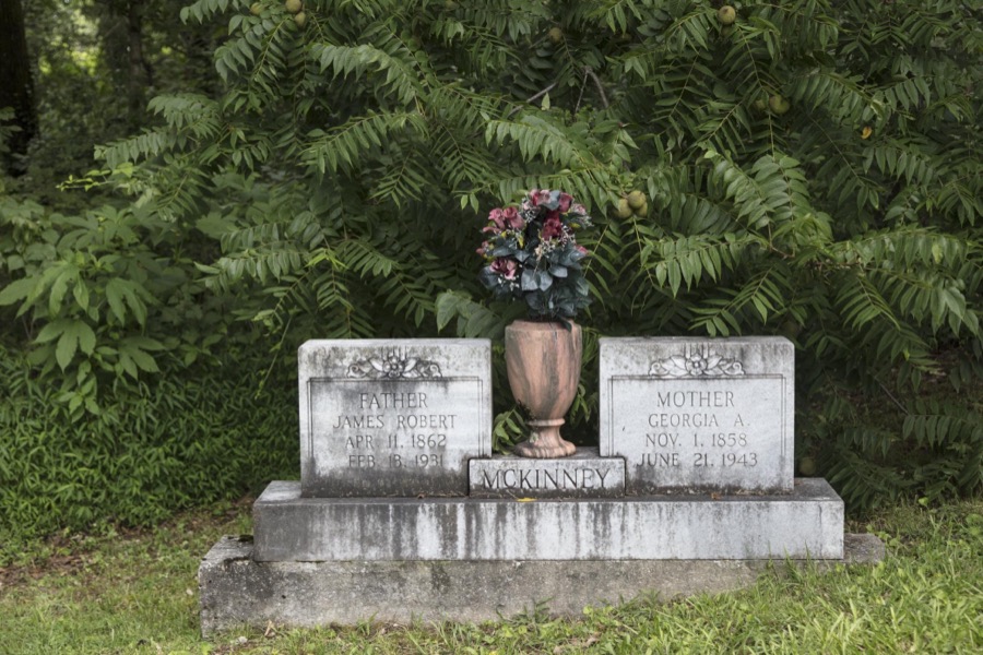
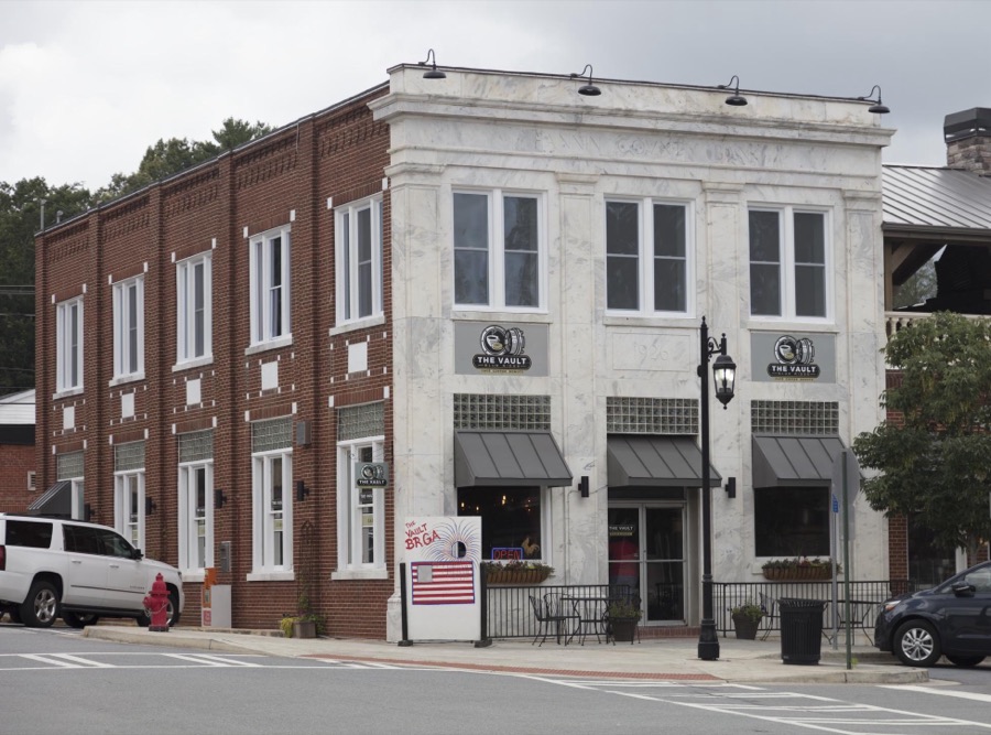

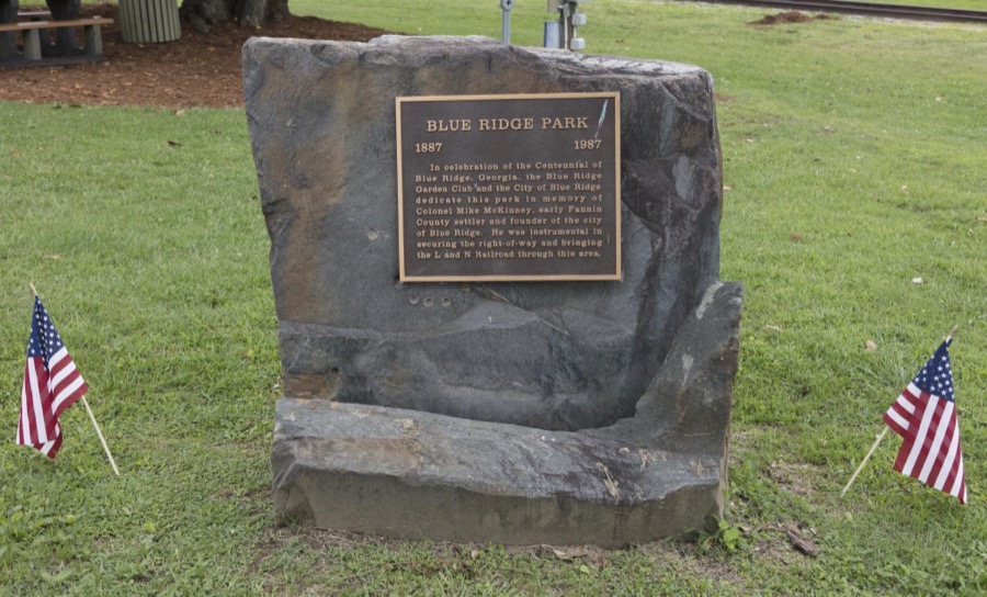
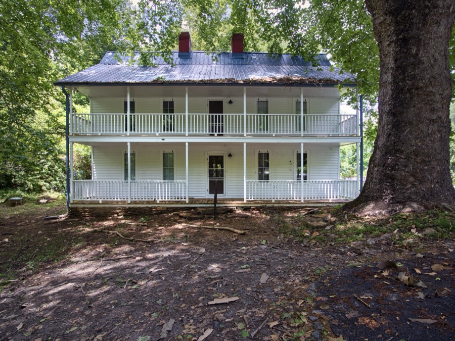

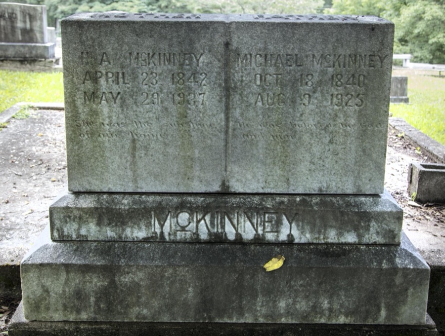

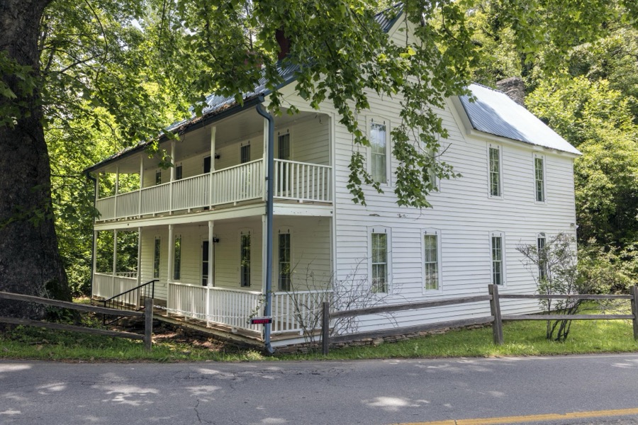




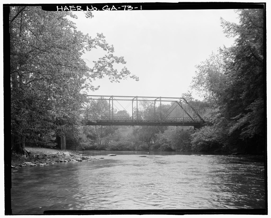
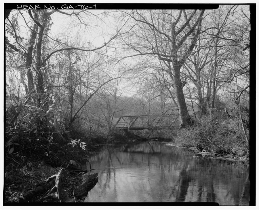
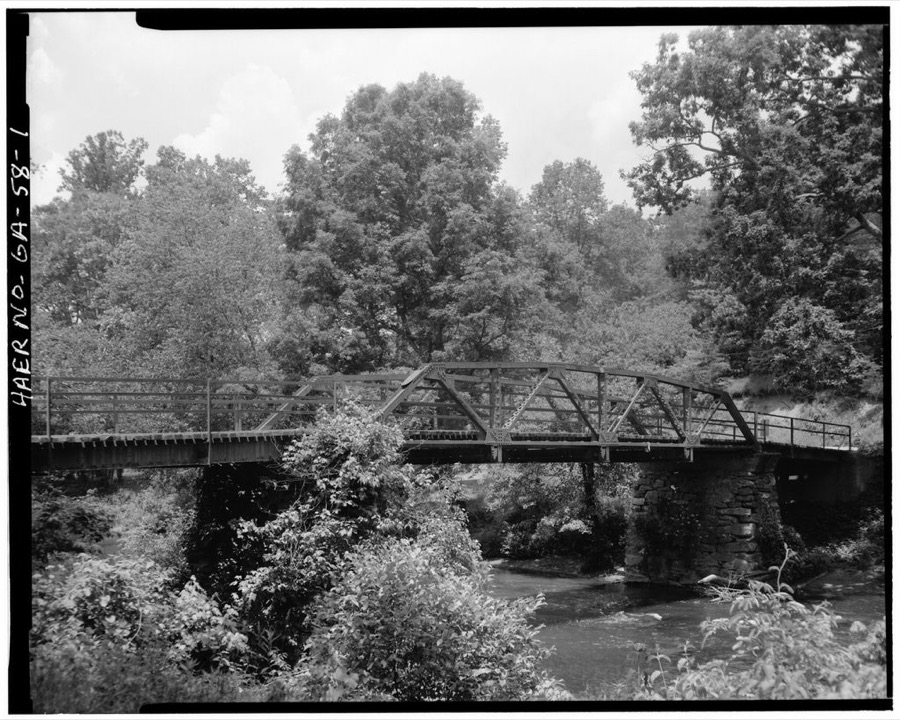
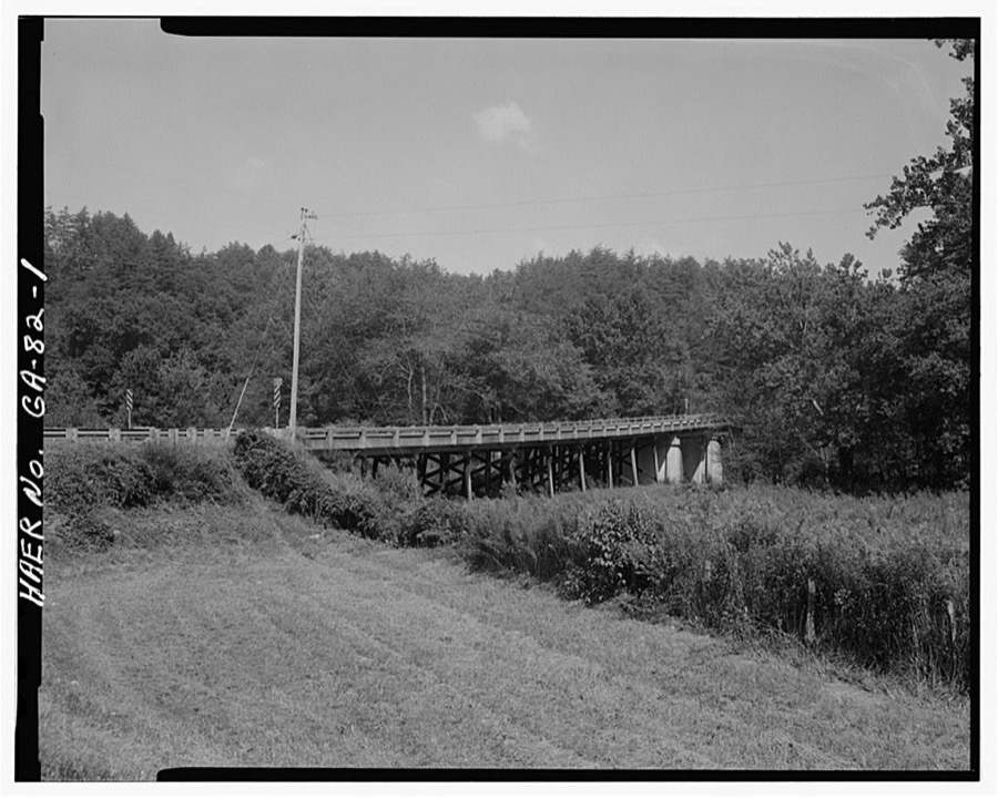
Every property in this county listed on the National Register of Historic Places, with the year it was listed and the federal nomination document.
| Photograph | Property | Type | Listed | Reference |
|---|---|---|---|---|
 | James W. Baugh Homeplace | building | 1999 | 99000658 |
 | Blue Ridge Depot | building | 1982 | 82002413 |
 | Fannin County Courthouse | building | 1995 | 95000716 |
 | Mineral Bluff Depot | building | 2007 | 07000089 |
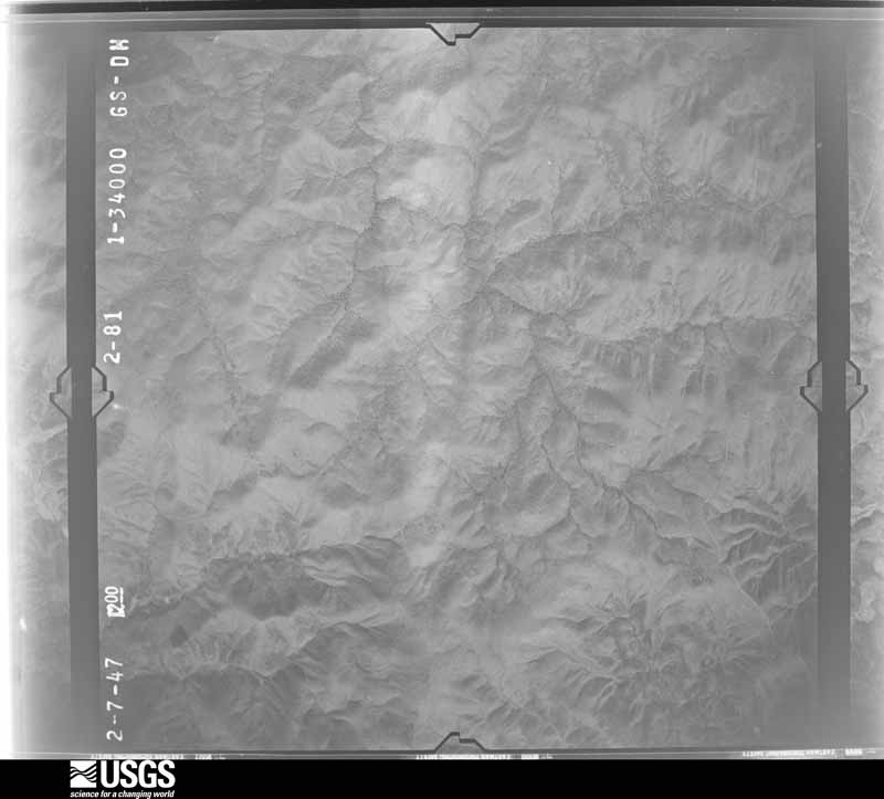
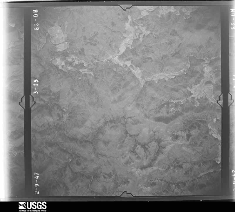
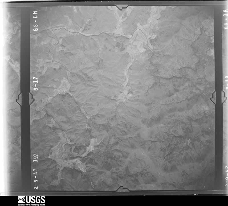
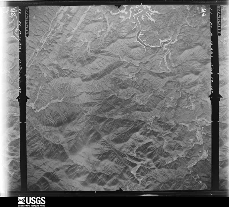
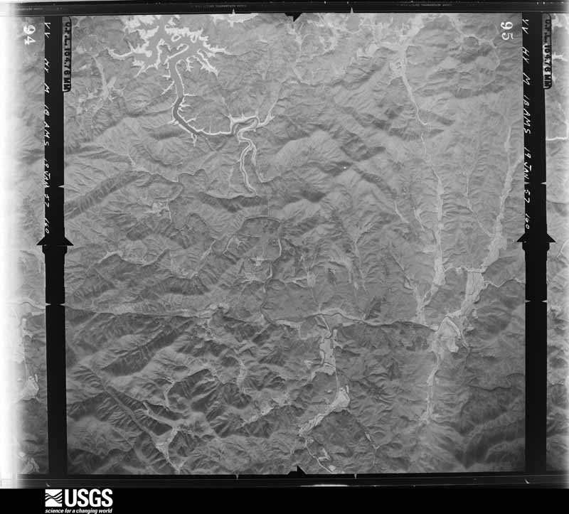
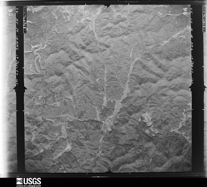
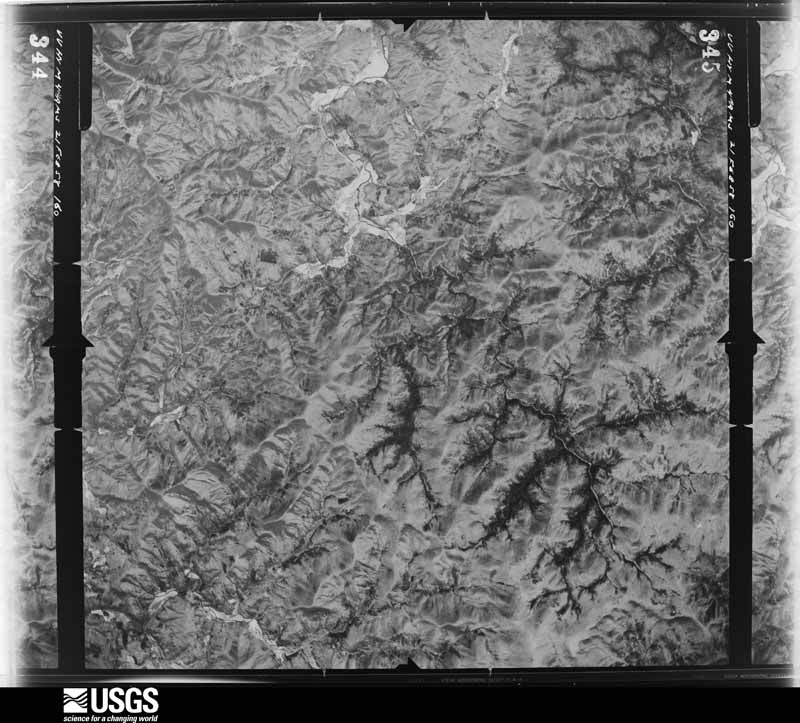
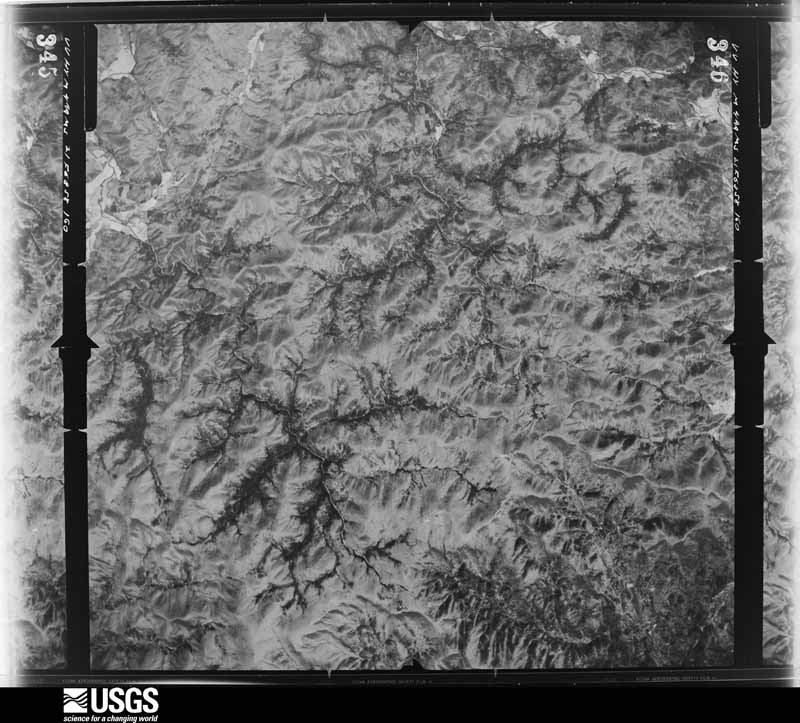
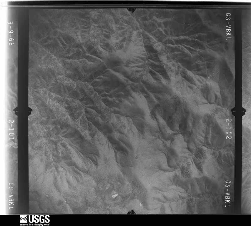
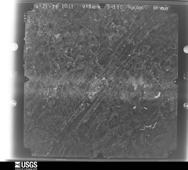
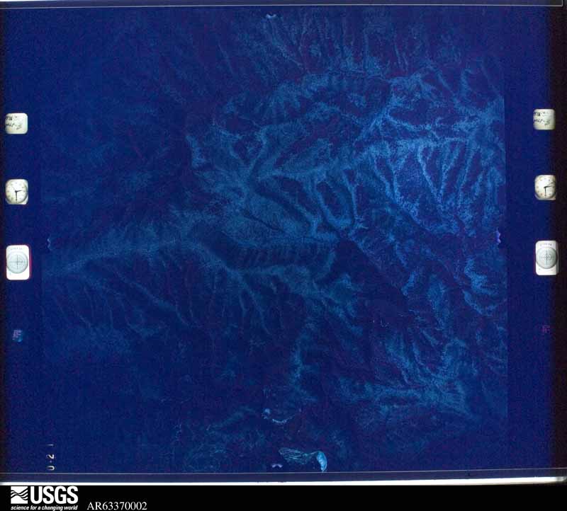
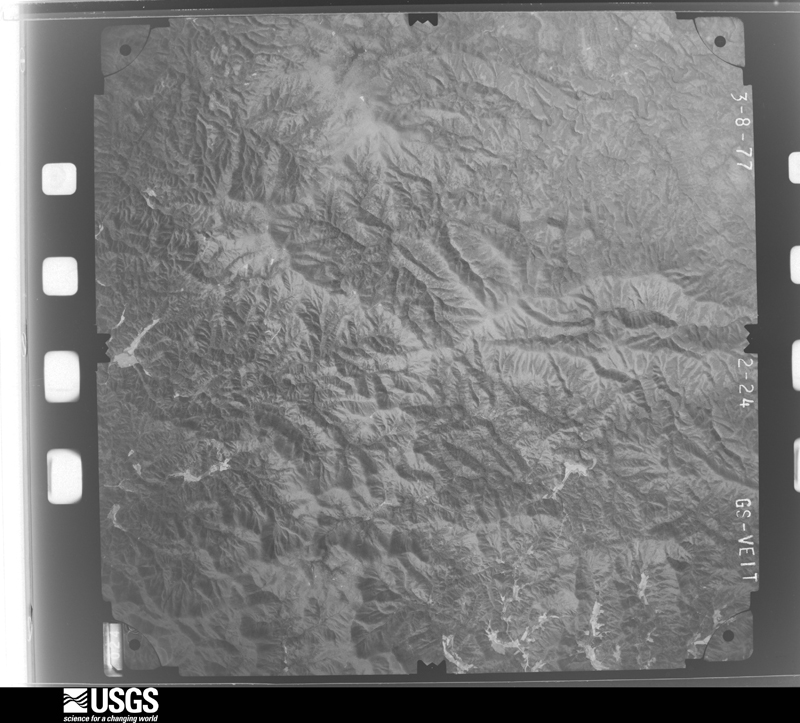
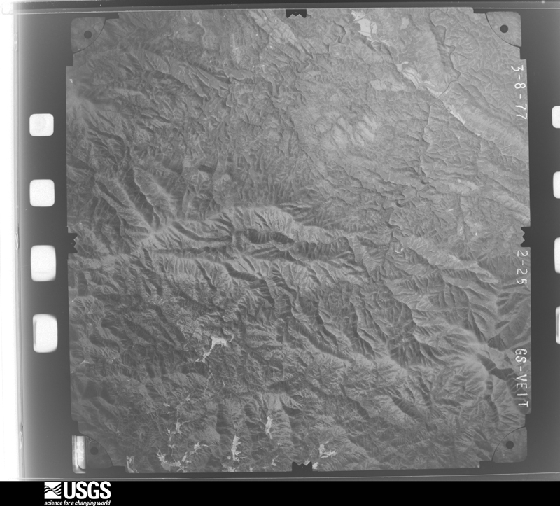
Flown by the U.S. Geological Survey between 1937 and 1989, the Aerial Photo Single Frames collection is the definitive mid-century view of the land: fields, roads and rivers as the camera saw them. The Survey holds 383 frames inside the rectangle that bounds this county; the 29 frames below were taken over the county itself, chosen across the decades of flights (at most four a year from that rectangle), so one flight cannot crowd out the rest. The full set is free to browse and download at EarthExplorer under the dataset Aerial Photo Single Frames.
















The thermometers that kept this county's weather, and the gages that measured the flow of its streams, as the federal records hold them. The extremes below are measured values from those records, not estimates.
Who lived here in 1950, one enumeration district at a time, as the Census Bureau described each district. Each row opens its official National Archives result, with Population Schedules and ED Maps available there.
Every wildfire the federal occurrence database records inside this county: 1,177 of them, burning about 32,442 acres. 22 started naturally and 206 were recorded as arson. Each settlement page carries the fires within five miles of it.
| Reported cause | Fires |
|---|---|
| Debris and open burning | 702 |
| Arson/incendiarism | 206 |
| Missing data/not specified/undetermined | 137 |
| Recreation and ceremony | 35 |
| Misuse of fire by a minor | 29 |
| Smoking | 24 |
| Natural | 22 |
| Equipment and vehicle use | 17 |
| Other causes | 2 |
| Power generation/transmission/distribution | 2 |
| Railroad operations and maintenance | 1 |
The five largest, by the area the report gives. Two of them were set deliberately.
| Date | Cause | Size | Reported by | Name on the report |
|---|---|---|---|---|
| 16 October 2016 | Natural | 27,870 acres | Chattahoochee-Oconee National Forest | ROUGH RIDGE |
| 2 January 2000 | Arson/incendiarism | 885 acres | Chattahoochee-Oconee National Forest | BEACHBOTTOM |
| 31 October 2000 | Natural | 595 acres | Chattahoochee-Oconee National Forest | PANTHER CREEK |
| 27 June 2012 | Natural | 400 acres | Georgia Forestry Commission | FY2012-MURRAY-019 |
| 16 November 2001 | Arson/incendiarism | 139 acres | Georgia Forestry Commission | FY2002-FANNIN-030 |
| 3 March 2000 | Natural | 124 acres | Chattahoochee-Oconee National Forest | HICKORY CR. TRAIL |
| 22 April 2007 | Missing data/not specified/undetermined | 88 acres | Georgia Forestry Commission | not named |
| 2 May 1992 | Smoking | 62 acres | Cherokee National Forest | not named |
Every settlement page carries the fires within five miles of it - see the settlement index below.
The NOAA Storm Events Database holds 191 reports for this county, causing no deaths, 8 injuries and about $9,881,500 in recorded property damage. Each settlement page carries the reports that name it.
| Kind of event | Reports |
|---|---|
| Thunderstorm Wind | 103 |
| Hail | 42 |
| Flash Flood | 22 |
| Lightning | 13 |
| Tornado | 9 |
| Heavy Rain | 1 |
| Winter Storm | 1 |
The most serious of them, by death, then injury, then recorded damage. The accounts are quoted exactly as the forecast office filed them.
| When | Event | Place named | Harm | What the report says |
|---|---|---|---|---|
| July 2004 | Lightning | Blue Ridge | 3 hurt, $1,000 | The News Observer - Blue Ridge reported that three teenagers, who were tubing down a river in the Toccoa Valley Campground area, were injured when lightning struck the water nearby. All three were treated and released from the hospital. In addition, a minor fire was reported in a home struck by lightning in a separate incident. Damage was minor. |
| April 1974 | Tornado (F2) | not stated | 2 hurt, $2,500,000 | no account filed |
| August 2003 | Lightning | Blue Ridge | 2 hurt | The News Observer of Blue Ridge reported that lightning struck two people at the Sugar Creek Raceway during its first night of the racing season. A 45-year old track announcer was injured when lightning struck the track's sound system and came through the microphone. Some papers on the desk were also ignited during this incident. In the stands, a fan was injured when he was struck by lightning. Neither of the injuries were fatal. |
| January 2013 | Tornado (EF1) | Higdon | 1 hurt, $160,000 | The tornado that touched down in Gilmer County continued into Fannin County, moving northeast through the Sugar Creek area before lifting in the Hothouse Valley area. The tornado with maximum wind speeds of 90 MPH snapped or uprooted hundreds of trees. Up to 100 power poles were either snapped or damaged. Thirty structures were damaged mainly due to falling trees. While the maximum path width was about a half mile wide, the majority of the path was 300-400 yards wide.|[01/30/13: Tornado #2, County #2-2, EF1, Gilmer-Fannin, 2013:002]. |
| April 1974 | Tornado (F4) | not stated | $2,500,000 | no account filed |
| May 2011 | Hail | Blue Ridge | $1,300,000 | Numerous reports of large to very large damaging hail were received from the Fannin County 911 Center and the public across Fannin county. As the thunderstorm entered Fannin county from the southwest, it produced golf ball-sized hail near Blue Ridge. The hail grew in size to softballs (4.25 inch diameter) as the storm moved over the Morganton area. Extensive damage was reported to vehicles in the Morganton area and adjacent areas in the eastern part of the county. |
| August 2005 | Flash Flood | Mc Caysville | $300,000 | The Fannin County Emergency Management Director reported that persistent thunderstorms with heavy rain resulted in flash flooding in the McCaysville area. The most significant damage occurred to a convenience store on Georgia Highway 5, also known as Blue Ridge Drive. The store was built over a culvert. Flooding caused a rupture in the culvert pipe under the building which forced water up into the store. The water rose one foot deep causing the wooden floor to buckle. Pavement on the outside of the store buckled as well. The store was a complete loss and condemned by local officials. Several ditches in the area were also washed out during the flash flooding. Rainfall of three to four inches fell across the area between 11 am and 2 pm EDT. |
| January 2020 | Tornado (EF0) | Swan | $250,000 | A National Weather Service survey team found that an EF-1 tornado with peak winds of 100 mph and a maximum path width of 450 yards touched down along Deep Hole |Campground Road south of the Morganton Highway, Georgia Highway 60, and traveled east-northeast along Morganton Highway, intensifying and downing hundreds of trees along the highway. A 40 foot steel radio tower at a Fannin County Fire Station was blown down and at least four homes suffered damage from fallen trees. The tornado weakened and turned northeast along Cooper Creek Road downing sporadic trees before finally dissipating near the Union County line near the Davis Family Cemetery off of Mulky Gap Road. [01/11/20: Tornado #2, County #1/1, EF-1, Fannin, 2020:002]. |
| April 2013 | Flash Flood | Morganton | $250,000 | The Wilscot Creek flooded around six different roads with up to two feet of water and damaged two county bridges and three private bridges. Portions of Old Dial Road were affected the most with a camper being washed away and getting crushed under a bridge. Rapid flowing flood waters caused a propane tank to break away from a house and float downstream. The flooding also surrounded and entered a house which temporarily stranded an elderly couple. A land slide occurred on a portion of Daves Road. |
| August 2005 | Tornado (F0) | Loving | $250,000 | A damage survey conducted by the National Weather Service and the Fannin County Emergency Management Director confirmed that a high-end F0 tornado had touched down at the intersection of U.S. Highway 76 and Loving Road and traveled almost due north for approximately 1/4 mile paralleling Loving Road. The damage path was determined to be 1/4 mile long and 100 yards wide. The damage began at the Appalachia Baptist Church on U.S. Highway 76. Part of the roof was blown off the church and the church's sign on the highway was destroyed. It was also noted that a trash dumpster was moved several dozen feet in the parking lot and an air conditioning compressor was moved from its concrete base. The tornado continued north into a subdivision along Loving Road. Dozens of large trees were uprooted or blown down at over at least a dozen homes. At least two homes sustained moderate damage when large trees fell on the structures. Several homes sustained minor roof damage when shingles were blown off. A large swath of trees were blown down in a wooded area between the church and the homes on Loving Road. |
| March 2004 | Hail | Blue Ridge | $250,000 | The Fannin county 911 center reported that golf ball-sized hail was observed at the June Walker Chevrolet dealership just southwest of Blue Ridge. |
| December 2015 | Flash Flood | Newport | $234,000 | The Fannin County Emergency Manager reported several secondary roads were flooded from nearby streams. Some area cabins along U.S. Highway 76 were beginning to flood. A debris flow had completely blocked a portion of Mountain Top Road. |
| May 2011 | Hail | Dial | $215,000 | The public observed golf ball-sized hail in far southeast Fannin county between Margret, Dial, and Hurst. This was from a separate severe thunderstorm from the one which caused 4.25 inch diameter hail in the north part of the county from Blue Ridge to Morganton approximately one hour earlier. |
| March 2025 | Lightning | Sparks Mill | $200,000 | House fire possibly due to lightning on the 400 block of buck creek trl home was a total loss. |
| April 2006 | Hail | Dial | $160,000 | The Fannin County 911 Center reported that there had been a number of reports of penny-sized hail across the southeast portion of the county, including Dial, just south of Hurst, and Margret. |
| September 2004 | Flash Flood | Countywide | $150,000 | The Georgia Emergency Management Agency and a storm spotter reported significant flooding across the county. Several roads were washed out, one bridge was damaged, and several mudslides were reported. Doublehead Gap Road was damaged when the Noontootla Creek flooded. Flooding also caused damage to some recreational vehicles in the Mineral Springs RV Park. |
| June 2007 | Hail | Margret | $110,000 | The public reported golf ball-sized hail in the southeast part of the county between Hurst, Dial, and Margret. The hail, combined with estimated winds up to 55 mph, was large enough to crack windshields and cause damage near Wilscot Mountain on Georgia Highway 60. |
| May 2006 | Hail | Epworth | $98,000 | Yet another large hail storm tracked across western and northern Fannin county. The public reported golf ball-sized hail north of Blue Ridge near Epworth, while penny-sized hail was reported further southeast in the Mineral Bluff and Morganton areas. |
| May 2006 | Lightning | Blue Ridge | $75,000 | The News Observer of Blue Ridge reported that lightning struck a two-story garage and apartment on East Second Street and set it on fire. The upper portion of the building was a complete loss. |
| September 2000 | Lightning | Blue Ridge | $55,000 | The Blue Ridge News Observer reported that lightning struck the county's 911 emergency radio repeater tower on Brawley Mountain completely knocking out the normal emergency communications system. |
| July 2004 | Thunderstorm Wind | Mc Caysville | $50,000 | A National Weather Service storm survey, along with reports from the Fannin County 911 center and the public reported that numerous trees were blown down in a swath running from northwest to southeast across the county from the Tennessee border near McCaysville southeast across Blue Ridge to near Epworth, especially along or near Georgia Highway 5. The majority of the damage occurred in the vicinity of Blue Ridge. Numerous trees were uprooted and lying in a southeast to southwest direction. Hence, it was concluded that the damage was not caused by a tornado. Several of the trees were large hardwoods. A number of power lines were brought down by the large trees and much of the area was without power for the evening. In addition, a garage in Blue Ridge was damaged by downed trees. |
| May 1999 | Tornado (F0) | Blue Ridge | $50,000 | Fannin county 911 and newspaper accounts agreed that a minimal tornado was responsible for damage in the Sugar Creek Road and Tennis Court Road areas.The roof of an outbuilding at the water company was torn off, an outdoor pavilion at a church collapsed, and the church received damage to its roof. Trees were knocked down in a twisted pattern and blocked roads in the area. |
| June 1994 | Thunderstorm Wind | Blue Ridge | $50,000 | Several large trees and power lines were downed by thunderstorm winds along Georgia Highway 5 in Blue Ridge. Two homes received major damage to their roofs while a commercial business had several appliances damaged. Fannin County 2N Blue Ridge,28,1713EST,,,0,0,0,0,Hail (0.75) The Fannin County sheriff department reported dime size hail 2 miles north of Blue Ridge on Georgia Highway 5. |
| March 2021 | Flash Flood | Wright Mill | $40,000 | The transportation department reported Georgia Highway 76 was washed out near the intersection with Wright Mill Road due to high water on Bryan Creek and Hemptown Creek. Radar estimates indicate that 4 to 6 inches of rainfall occurred over the area, producing the flash flooding. |
| April 2011 | Thunderstorm Wind | Colwell | $40,000 | The Fannin County 911 Center reported widespread damage to trees and power lines throughout the county from destructive thunderstorm wind gusts. Over 40 trees were estimated to be down across the county with at least a dozen power lines down. A chicken house approximately four miles east-southeast of Morganton suffered heavy damage. |
| February 2020 | Flash Flood | Due | $30,000 | The Emergency Manager reported a bridge washed out at Tipton Court due to high flow conditions of Big Creek. Radar estimates indicate that 3 to 5 inches of rain occurred over the area in a short period of time, falling on already wet soils and resulting in flash flooding. |
| November 2002 | Thunderstorm Wind | Blue Ridge | $30,000 | The News Observer of Blue Ridge reported that a large pine tree fell on two pickup trucks at a residence in the city. One of the trucks was totaled and the other sustained significant damage. At another residence, large tree limbs fell on and damaged the corner of a front porch. Winds were estimated at 60 to 70 mph by a local resident. |
| January 1996 | Flash Flood | Countywide | $30,000 | no account filed |
| September 2009 | Lightning | Blue Ridge | $25,000 | The Fannin County 911 Center reported that a house fire was likely the result of a lightning strike. |
| April 1985 | Tornado (F1) | not stated | $25,000 | no account filed |
| March 1961 | Tornado (F1) | not stated | $25,000 | no account filed |
| March 2017 | Thunderstorm Wind | Curtis | $20,000 | The Fannin County Emergency Manager reported numerous trees blown down from northwest through southeast of Blue Ridge including along Scenic Drive from Tom Boyd Road to Cox Road, Sugar Creek Road and Meadow Lane. Trees were also blown down at the intersection of Sugar Creek Road and Chestnut Gap Road, and along Aska Road from Eagle Rock Road to Weaver Creek and Whispering Pines Road. |
| July 2004 | Flash Flood | Blue Ridge | $20,000 | The News Observer - Blue Ridge reported that a man had to be rescued from his truck during flash flooding on Ada Street. The man drove his S-10 pickup truck into the high water when the truck stalled as the vehicle was submerged up to the windows with water. The man reported that water was up to his rib cage inside the truck. Ada street at Highway 5 was later closed. In addition, a storm spotter reported that a house was flooded in Blue Ridge. |
| April 2020 | Thunderstorm Wind | Windy Ridge | $15,000 | Damage reported to Fire Station #2 with several pieces of metal roofing blown off into the adjacent parking lot. |
| August 2018 | Thunderstorm Wind | Madola | $15,000 | The Fannin County Emergency Manager reported several trees and power lines blown down from west of Epworth along Madola Road to Blue Ridge Road in Epworth to Haymore Farm Road southeast of Mineral Bluff. A falling tree struck a house on Blue Ridge Road, no injuries were reported. |
| May 2024 | Thunderstorm Wind | Epworth | $12,000 | Numerous trees down along a path starting southeast of Epworth along Blue Ridge Dr near Wash Wilson Rd and Thunder Rock Rd and continuing southeast to Appalachian Hwy near Old US 76. |
| June 2023 | Thunderstorm Wind | Blue Ridge | $10,000 | Broadcast media reports numerous trees and powerlines downed along W Highland St just to the west of Blue Ridge. |
| July 2022 | Thunderstorm Wind | Blue Ridge Lake | $10,000 | A few trees down within a 2-mile radius. Likely non-severe storm wind. |
| April 2020 | Thunderstorm Wind | Morganton | $10,000 | Several trees and powerlines down in the Morganton and Mineral Bluff areas. |
| April 2020 | Thunderstorm Wind | Mc Caysville | $10,000 | Several trees and powerlines down in the McCaysville, Epworth and Blue Ridge areas. |
| April 2020 | Thunderstorm Wind | Madola | $10,000 | Tree down on a house in the 300 block of No. 20 Mine road in McCaysville. |
| April 2020 | Thunderstorm Wind | Mc Caysville | $10,000 | Tree reported down on a house in the 400 block of Chestnut Road in McCaysville. |
| July 2016 | Thunderstorm Wind | Epworth | $10,000 | The Fannin County 911 center reported numerous trees blown down from Epworth to Mineral Bluff. |
| October 2014 | Thunderstorm Wind | Blue Ridge | $10,000 | The Fannin County 911 Center reported dozens of trees down countywide. |
| February 2011 | Thunderstorm Wind | Higdon | $10,000 | The Fannin County 911 Center reported that over 20 trees and five power lines were down across the county. |
| July 2010 | Lightning | Morganton | $10,000 | The Fannin County 911 Center reported that a lightning strike caused damage to their emergency service radio just outside of Morganton. |
| June 2008 | Thunderstorm Wind | Epworth | $10,000 | The News Observer of Blue Ridge reported that a large tree was blown down onto a porch that was attached to a trailer. The porch was removed from the trailer as a result. In addition, an adjacent dirt bike was also crushed by the large tree. |
| May 2003 | Thunderstorm Wind | Mineral Bluff | $10,000 | The Fannin county 911 center reported that around five dozen trees were blown down. |
| May 1999 | Thunderstorm Wind | Blue Ridge | $10,000 | The emergency manager reported a couple of signs, a storage building and a vehicle were damaged. The roof was ripped off the mini-storage building. Reports of a tornado could not be confirmed. |
| March 2025 | Thunderstorm Wind | Maxwell | $8,000 | Multiple to numerous trees down across Blue Ridge, including onto a house near Epsworth which was then struck by lightning and burned down. |
| May 2021 | Thunderstorm Wind | Madola | $8,000 | The Fannin County Emergency Manager reported several trees blown down across the county from the Old Mobile Road area near McCaysville, across Blue Ridge to the area around Stanley Creek Road and Aska Road south of Blue Ridge. |
| August 2019 | Thunderstorm Wind | Salem | $8,000 | Multiple trees reported down along Laurel Springs Road, between Salem Road and Hardscrabble Road in northern Fannin County. |
| July 2015 | Thunderstorm Wind | Blue Ridge | $8,000 | The Fannin County 911 Center reported numerous trees blown down across the county. |
| May 2017 | Tornado (EF0) | Murphy Junction | $7,000 | A National Weather Service survey team found that the thunderstorm that produced brief tornadoes in Gordon and Gilmer Counties produced one more brief, weak tornado in Fannin County on the northeast side of Blue Ridge. The EF0 tornado with maximum wind speeds 75 MPH and a maximum path width of 35 yards began just east of Highway 76 between McClure Way and McKinney Road. Several large trees were snapped or uprooted. No injuries were reported. [05/24/17: Tornado # 5, County #1/1, EF-0, Fannin, 2017:079]. |
| June 2011 | Thunderstorm Wind | Colwell | $7,000 | The Fannin County 911 Center reported that at least six trees and several power lines were down around Epworth in the western part of the county. |
| November 2018 | Thunderstorm Wind | Kingtown | $6,000 | The Fannin County Emergency Manager reported trees blown down across the county from around the intersection of McCay Street and Old Epworth Road in McCaysville to around Old Highway 76, Dry Branch Road, Aska Road and Snake Nation Road east of Blue Ridge. |
| July 2024 | Thunderstorm Wind | Mc Cullough | $5,000 | Multiple trees down around the Mineral Bluff area in northern Fannin county. this was along Mount Pleasant Road. |
| May 2024 | Thunderstorm Wind | Chestnut Gap | $5,000 | Multiple trees down near Blue Ridge Dr stretching from the Blue Ridge Medical Center to Davis Rd and from Chestnut Gap Rd and Barnes Chapel Rd. specifically at Salvage Rd and Chestnut Gap Rd Westwood Dr near Bear Rd Scenic Dr near Elvis Presley Dr. |
| June 2023 | Thunderstorm Wind | Murphy Junction | $5,000 | Broadcast media reports trees and powerlines down near the Marina at Blue Ridge Lake. The damage was reported at the dock near the Marina. |
| August 2019 | Thunderstorm Wind | Paintertown | $5,000 | Multiple trees down on Wolf Creek Road, near Stuart Mountain Road. |
The Survey's mineral resources record lists 38 workings inside this county. 2 still produce and 36 are closed or unrecorded. Each settlement page carries the workings within five miles of it.
| Commodity | Workings |
|---|---|
| Iron | 10 |
| Copper | 8 |
| Marble, Dimension | 7 |
| Gold | 4 |
| Manganese | 4 |
| Stone, Crushed/Broken | 2 |
| Copper, Iron-Pyrite | 1 |
| Copper, Sulfur | 1 |
| Iron, Manganese | 1 |
| Sulfur, Copper | 1 |
| Flagstone | 1 |
| Manganese, Iron | 1 |
The least common of them first, because a county's hundredth gravel pit says nothing its first ten did not.
| Where | Site | Commodity | Status | Recorded |
|---|---|---|---|---|
| McKinney Mine | Iron, Manganese | Past Producer | Residual | |
| McKinney Mine. | Manganese, Iron | Past Producer | 1812 | |
| Mine No. 20 | Copper, Iron-Pyrite | Occurrence | Massive Sulfide | |
| Mineral Bluff Quarry | Flagstone | Producer | ||
| Mobile | Copper, Sulfur | Past Producer | 1858 | |
| Mount Pisgah Prospect | Sulfur, Copper | Occurrence | Massive Sulfide | |
| Dillard & Prince Mine | Stone, Crushed/Broken | Producer | ||
| Samples Rock Quarry | Stone, Crushed/Broken | Past Producer | ||
| Hackney Placer | Gold | Past Producer | Stream Placer | |
| J.Y.Allen Property | Iron, Manganese | Prospect | ||
| Margaret Robinson Property | Iron, Manganese | Past Producer | ||
| McKinney Mine Area | Iron, Manganese | Past Producer | Residual | |
| Mccloud Mine | Gold | Past Producer | Stream Placer | |
| Noontootly Creek | Gold | Past Producer | Vein | |
| Polk Patterson Mine | Manganese | Past Producer | Residual | |
| Wade Allenis Gold Mine | Gold | Past Producer | ||
| Arp Property | Marble, Dimension | Occurrence | ||
| Polk Patterson Property | Marble, Dimension | Prospect | ||
| Rapier Mill Creek Deposit | Marble, Dimension | Occurrence | ||
| The Dickey Property | Marble, Dimension | Occurrence | ||
| The Hame String Creek Property | Marble, Dimension | Occurrence | ||
| The Park Property | Marble, Dimension | Past Producer | ||
| The Youngstone Creek Property | Marble, Dimension | Occurrence | ||
| Bryant Prospect | Copper | Prospect | ||
| Kellogg Prospect | Copper | Prospect | ||
| Mine No. 20 | Copper | Past Producer | ||
| Mount Pisgah Copper Prospect | Copper | Prospect | ||
| Patterson Prospect | Copper | Prospect | ||
| Phillips Prospect | Copper | Prospect | ||
| Sally Jane Prospect | Copper | Prospect | ||
| Shaffer Mine | Copper | Past Producer | ||
| Bryant Property | Iron | Prospect | ||
| Collins Property | Iron | Prospect | ||
| Mine No. 20 | Iron | Past Producer | Residual | |
| Mineral Bluff Area | Iron | Past Producer | Stratabound Concordant | |
| Owenby Property | Iron | Prospect | ||
| Silvey Property | Iron | Prospect | ||
| W.H.Dodd Property | Iron | Unknown |
Named settlements recorded in the Geographic Names Information System, each with the topographic sheets covering it. Villages, hamlets and abandoned places alike. Each is shown with the nearest named watercourse or landform and the survey quadrangle it falls on. The 1 place that was also surveyed for fire insurance comes first, with the number of atlases and photographs held for them.
Blue Ridge census division · 30513 · On Mineral Springs Creek · Blue Ridge quadrangle
23 sheets, 1888 to 1988
Fire insurance: 3 atlases
Morganton census division · 30572 · On Oliver Branch · Noontootla quadrangle
23 sheets, 1888 to 1988
No longer a settlement
Morganton census division · 30522 · On Little Creek · Blue Ridge quadrangle
23 sheets, 1888 to 1988
Blue Ridge census division · 30513 · On Trammel Branch · Blue Ridge quadrangle
23 sheets, 1888 to 1988
Mineral Bluff census division · 30559 · On Long Creek · Culberson quadrangle
23 sheets, 1888 to 1988
Morganton census division · 30560 · On Hunter Branch · Culberson quadrangle
23 sheets, 1888 to 1988
McCaysville census division · 30513 · On McClure Creek · Epworth quadrangle
21 sheets, 1888 to 1988
Mineral Bluff census division · 30559 · Near Piney Mountain · Mineral Bluff quadrangle
23 sheets, 1888 to 1999
Higdon-Mobile census division · 30541 · Near Foster Hollow · Epworth quadrangle
21 sheets, 1888 to 1988
Morganton census division · 30572 · Near Sids Mountain · Noontootla quadrangle
23 sheets, 1888 to 1988
Morganton census division · 30560 · Near Seabolt Mountain · Wilscot quadrangle
25 sheets, 1888 to 1988
McCaysville census division · 30513 · On Stillhouse Creek · Mineral Bluff quadrangle
23 sheets, 1888 to 1999
Mineral Bluff census division · 30559 · Near Paris Mountain · Culberson quadrangle
23 sheets, 1888 to 1988
Morganton census division · 30513 · On Weeks Creek · Wilscot quadrangle
25 sheets, 1888 to 1988
Mineral Bluff census division · 30560 · Near Dan Mountain · Culberson quadrangle
23 sheets, 1888 to 1988
No longer a settlement
Morganton census division · 30522 · On Big Branch · Blue Ridge quadrangle
23 sheets, 1888 to 1988
No longer a settlement
Higdon-Mobile census division · 30513 · On Dunn Creek · Epworth quadrangle
21 sheets, 1888 to 1988
Blue Ridge census division · 30513 · On Mineral Springs Creek · Blue Ridge quadrangle
23 sheets, 1888 to 1988
McCaysville census division · 30541 · Near Wolf Ridge · Epworth quadrangle
21 sheets, 1888 to 1988
Mineral Bluff census division · 30560 · On Pounding Mill Branch · Culberson quadrangle
23 sheets, 1888 to 1988
Higdon-Mobile census division · 30555 · On Kingtown Branch · Epworth quadrangle
21 sheets, 1888 to 1988
McCaysville census division · 30513 · On Sugar Creek · Mineral Bluff quadrangle
23 sheets, 1888 to 1999
McCaysville census division · 30513 · Near Ellis Knob · Epworth quadrangle
21 sheets, 1888 to 1988
Blue Ridge census division · 30513 · On Charlie Creek · Blue Ridge quadrangle
23 sheets, 1888 to 1988
Morganton census division · 30560 · On Richards Branch · Culberson quadrangle
23 sheets, 1888 to 1988
Higdon-Mobile census division · 30541 · Near Sally Ann Mountain · Epworth quadrangle
21 sheets, 1888 to 1988
Mineral Bluff census division · 30559 · On Dickey Mill Creek · Mineral Bluff quadrangle
23 sheets, 1888 to 1999
Morganton census division · 30560 · On Crawford Creek · Wilscot quadrangle
25 sheets, 1888 to 1988
Higdon-Mobile census division · 30541 · On Mill Branch · Hemp Top quadrangle
24 sheets, 1886 to 1988
No longer a settlement
Higdon-Mobile census division · 30555 · On Kingtown Branch · Epworth quadrangle
21 sheets, 1888 to 1988
McCaysville census division · 30555 · On Kingtown Branch · Epworth quadrangle
21 sheets, 1888 to 1988
McCaysville census division · 30513 · In Kyle Hollow · Mineral Bluff quadrangle
23 sheets, 1888 to 1999
Mineral Bluff census division · 30559 · On Pounding Mill Branch · Mineral Bluff quadrangle
23 sheets, 1888 to 1999
McCaysville census division · 30541 · On Little Fightingtown Creek · Epworth quadrangle
21 sheets, 1888 to 1988
Mineral Bluff census division · 30560 · Near Cutcane Ridge · Culberson quadrangle
23 sheets, 1888 to 1988
Higdon-Mobile census division · 30513 · On Patterson Creek · Epworth quadrangle
21 sheets, 1888 to 1988
Morganton census division · 30560 · Near Norman Cove · Culberson quadrangle
23 sheets, 1888 to 1988
Morganton census division · 30572 · Near Tooni Mountain · Wilscot quadrangle
25 sheets, 1888 to 1988
Morganton census division · 30512 · On Mill Branch · Culberson quadrangle
23 sheets, 1888 to 1988
McCaysville census division · 30555 · On Toccoa River · Mineral Bluff quadrangle
23 sheets, 1888 to 1999
Mineral Bluff census division · 30559 · Near Dividing Ridge · Culberson quadrangle
23 sheets, 1888 to 1988
Mineral Bluff census division · 30559 · On Cutcane Creek · Mineral Bluff quadrangle
23 sheets, 1888 to 1999
Morganton census division · 30560 · On Star Creek · Mineral Bluff quadrangle
23 sheets, 1888 to 1999
Blue Ridge census division · 30513 · On Reservoir Branch · Mineral Bluff quadrangle
23 sheets, 1888 to 1999
Morganton census division · 30522 · On Kirby Creek · Noontootla quadrangle
23 sheets, 1888 to 1988
Higdon-Mobile census division · 30513 · Near Higdon Cove · Epworth quadrangle
21 sheets, 1888 to 1988
Morganton census division · 30560 · On Star Creek · Wilscot quadrangle
25 sheets, 1888 to 1988
McCaysville census division · 30559 · On Pleasant Hill Creek · Mineral Bluff quadrangle
23 sheets, 1888 to 1999
McCaysville census division · 30541 · Near Wolf Ridge · Epworth quadrangle
21 sheets, 1888 to 1988
Mineral Bluff census division · 30559 · Near Piney Mountain · Mineral Bluff quadrangle
23 sheets, 1888 to 1999
Mineral Bluff census division · 30559 · Near Millpond Ridge · Culberson quadrangle
23 sheets, 1888 to 1988
No longer a settlement
Morganton census division · 30560 · On Mitchell Branch · Culberson quadrangle
23 sheets, 1888 to 1988
Blue Ridge census division · 30513 · On Stillhouse Creek · Blue Ridge quadrangle
23 sheets, 1888 to 1988
Morganton census division · 30513 · On Bailey Creek · Noontootla quadrangle
23 sheets, 1888 to 1988
Blue Ridge census division · 30513 · Near Fain Mountain · Mineral Bluff quadrangle
23 sheets, 1888 to 1999
Morganton census division · 30572 · On Woody Branch · Wilscot quadrangle
25 sheets, 1888 to 1988
Morganton census division · 30513 · On Laurel Creek · Wilscot quadrangle
25 sheets, 1888 to 1988
Mineral Bluff census division · 30559 · Near Dividing Ridge · Culberson quadrangle
23 sheets, 1888 to 1988
Morganton census division · 30513 · On Long Creek · Noontootla quadrangle
23 sheets, 1888 to 1988
McCaysville census division · 30559 · Near Hothouse Valley · Mineral Bluff quadrangle
23 sheets, 1888 to 1999
Mineral Bluff census division · 30559 · Near Watson Mountain · Culberson quadrangle
23 sheets, 1888 to 1988
No longer a settlement
McCaysville census division · 30559 · On Wolf Creek · Mineral Bluff quadrangle
23 sheets, 1888 to 1999
Morganton census division · 30513 · Near Persimmon Hill · Wilscot quadrangle
25 sheets, 1888 to 1988
Morganton census division · 30513 · On Wilson Creek · Noontootla quadrangle
23 sheets, 1888 to 1988
Mineral Bluff census division · 30559 · Near Dickey Mountain · Mineral Bluff quadrangle
23 sheets, 1888 to 1999
Morganton census division · 30560 · On Beck Branch · Culberson quadrangle
23 sheets, 1888 to 1988
The vanished settlements of Fannin County: the places named above that are no longer on the map.
23 topographic sheets and 3 fire insurance atlases, 1909 to 1938
The complete index, with nothing left out. Each of these is a separate record with its own page: a federal survey report, or the case file that argued a property on to the National Register. Both are public domain and reproduced word for word.
The vanished settlements of Fannin County, the places these records name that are no longer on the map.