 Block
Blue Ridge, Georgia
23 topographic sheets cover this place, the earliest surveyed in 1888 and the latest in 1988. It stands in the Blue Ridge census division. It lies in ZIP code area 30513. It stands on Mineral Springs Creek. The Survey maps it on the Blue Ridge quadrangle. 1,253 people lived here at the 2020 count. It stands 1,762 feet above sea level.
Research this city
On record in Blue Ridge
Buildings and businesses the archive holds for this place. Each opens its own page, with the source record it came from.
On the National Register 3 records
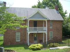 James W. Baugh Homeplacelisted 1999
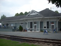 Blue Ridge Depotlisted 1982
 Fannin County Courthouselisted 1995
Surveyed buildings and structures 1 record
- Fannin County Road 218 Bridge, Spanning Toccoa River, Blue Ridgefederal building survey, 5 photographs
Population over time
2 figuresBlue Ridge fell from 1,290 to 1,253 between 2010 and 2020. These are the recorded population figures Wikidata holds for this place, reached through the Geographic Names Information System number this page is keyed on rather than by name, so they belong to this place and not to another of the same name. Most are census counts, but not all are: an early figure may be a founding or settlement estimate, and an estimate published within five years of a census is left out. The change column is computed, and is left blank where more than 20 years separate a figure from the one before it, because a gap that long is not a change between two counts.
| Year | People | Change |
|---|---|---|
| 2010 | 1,290 | |
| 2020 | 1,253 | -37 (-3%) |
Topographic sheets covering this place
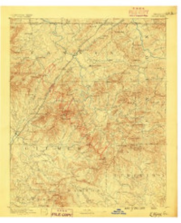
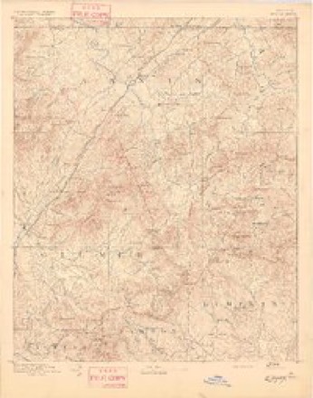
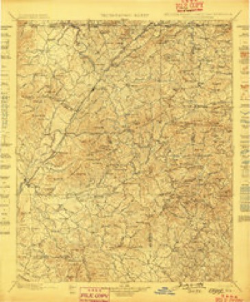
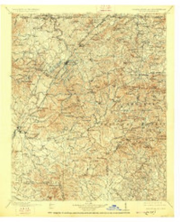
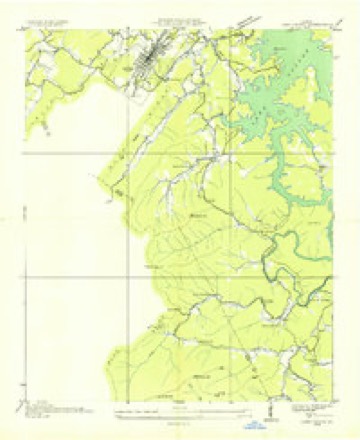
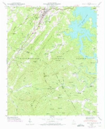
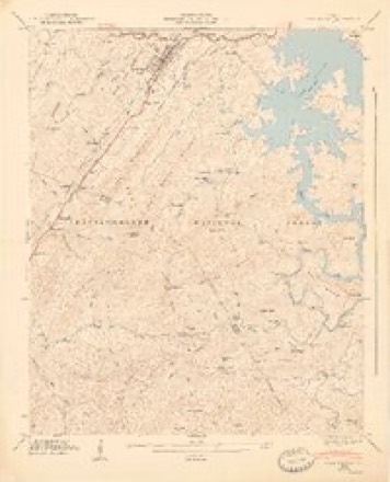
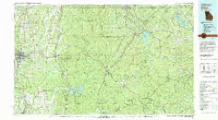
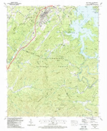
13 surveys from 23 printed sheetsMatched by testing this settlement's coordinate against the published boundary of every sheet in the United States Geological Survey's historical collection. Each opens the scanned sheet at the Survey.
- 1888 USGS Ellijay quadrangle1:125000
- 1892 USGS Ellijay quadrangle1:125000
- 1898 USGS Ellijay quadrangle1:125000, 2 printings
- 1911 USGS Ellijay quadrangle1:125000, 4 printings
- 1935 USGS Lake Toccoa quadrangle1:24000
- 1946 USGS Blue Ridge quadrangle1:24000, 3 printings
- 1947 USGS Lake Toccoa quadrangle1:24000, 2 printings
- 1955 USGS Rome quadrangle1:250000
- 1958 USGS Rome quadrangle1:250000, 3 printings
- 1961 USGS Rome quadrangle1:250000
- 1963 USGS Rome quadrangle1:250000
- 1981 USGS Dalton quadrangle1:100000
- 1988 USGS Blue Ridge quadrangle1:24000, 2 printings




Photographs
8 of 12 photographs shown, 2017Taken for the Office of War Information and the Farm Security Administration, who photographed the country between 1935 and 1944. Works of United States government photographers, with no known restriction on use. Each opens its catalogue record.
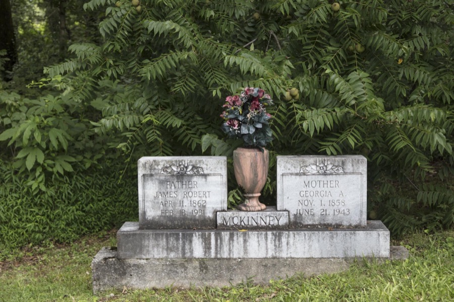
Highsmith, Carol M, 2017. Library of Congress
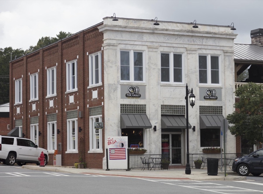
Highsmith, Carol M, 2017. Library of Congress
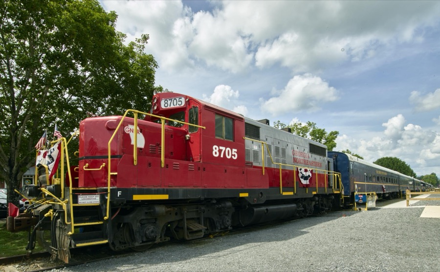
Highsmith, Carol M, 2017. Library of Congress
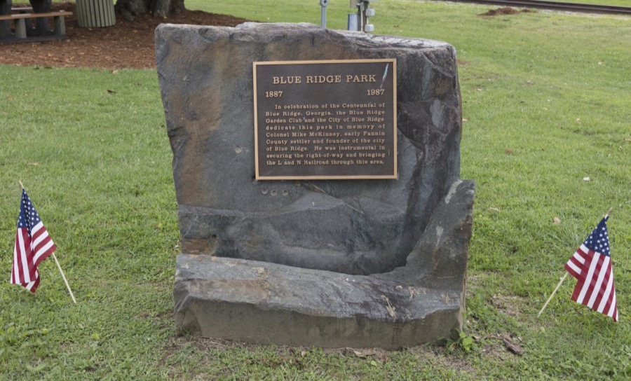
Highsmith, Carol M, 2017. Library of Congress
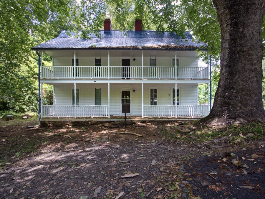
Highsmith, Carol M, 2017. Library of Congress
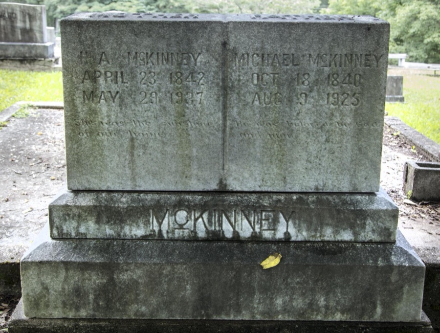
Highsmith, Carol M, 2017. Library of Congress
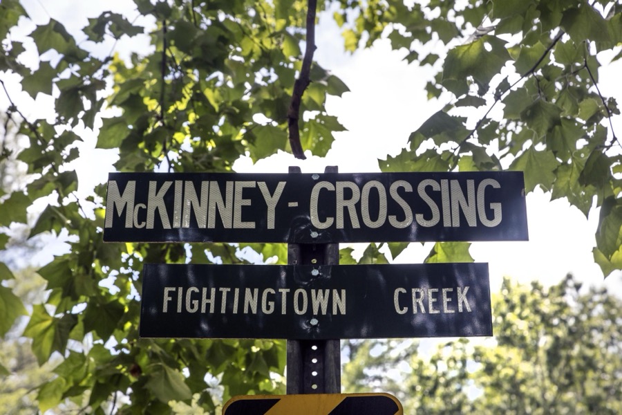
Highsmith, Carol M, 2017. Library of Congress
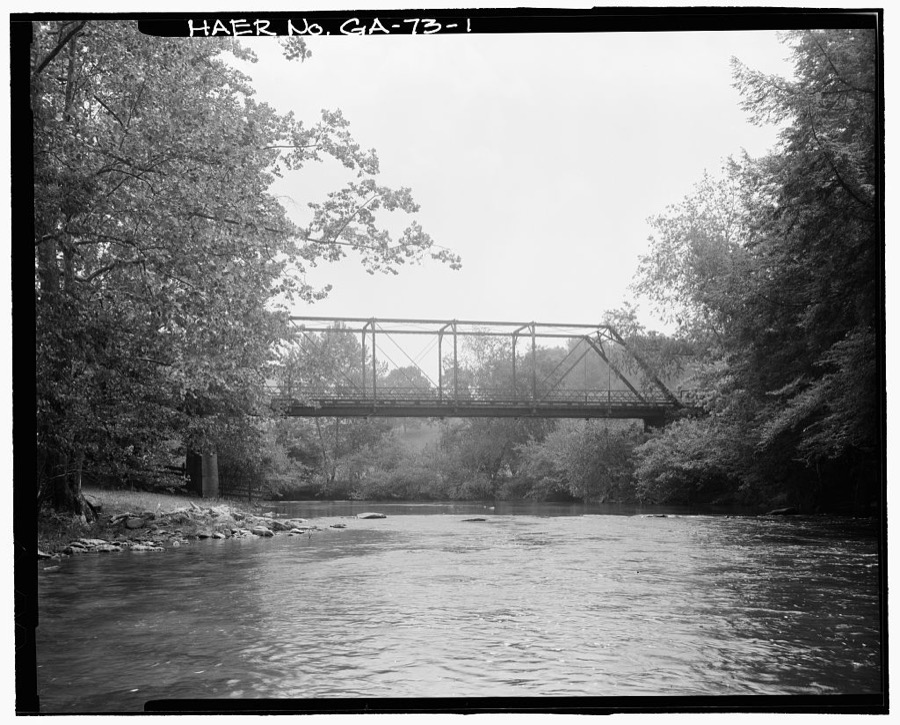
Photographer not recorded. Library of Congress
Every photograph of Fannin County
Fires near this place
475 since 1992Regional context, not property-specific evidence. The federal wildfire occurrence database lists 475 fires within 5 miles of Blue Ridge between 1992 and 2020, burning about 706 acres in total. 4 started naturally. 84 were recorded as arson. Distance is straight-line from the map coordinates, so a fire counted here may appear on a neighbouring settlement's page as well.
| Reported cause | Fires |
|---|---|
| Debris and open burning | 291 |
| Arson/incendiarism | 84 |
| Missing data/not specified/undetermined | 56 |
| Smoking | 11 |
| Misuse of fire by a minor | 11 |
| Recreation and ceremony | 10 |
| Equipment and vehicle use | 7 |
| Natural | 4 |
| Railroad operations and maintenance | 1 |
The most recent of them, most recent first, with the day each was reported and the service that recorded it.
| Date | Cause | Size | Reported by | Name on the report |
|---|---|---|---|---|
| 8 September 1999 | Arson/incendiarism | under an acre | Georgia Forestry Commission | not named |
| 8 September 1999 | Arson/incendiarism | under an acre | Georgia Forestry Commission | not named |
| 7 September 1998 | Equipment and vehicle use | 3.2 acres | Georgia Forestry Commission | not named |
| 26 September 1999 | Misuse of fire by a minor | under an acre | Georgia Forestry Commission | not named |
| 25 September 1999 | Smoking | under an acre | Georgia Forestry Commission | not named |
| 25 September 1999 | Debris and open burning | under an acre | Georgia Forestry Commission | not named |
| 22 September 2007 | Debris and open burning | under an acre | Georgia Forestry Commission | not named |
| 2 September 1997 | Debris and open burning | under an acre | Georgia Forestry Commission | not named |
Settlements close enough to share some of these fires:
Mines and quarries near this place
10 of 15 shownRegional context, not property-specific evidence. The federal mineral resources record lists 15 workings within 5 miles of Blue Ridge: 10 past producers, 2 prospects, 1 unknown, 1 occurrence. 1 still produces. What was taken out: Iron, Manganese, Marble, Dimension, Gold. Distance is straight-line from the map coordinates, so a quarry counted here may appear on a neighbouring settlement's page as well.
| Where | Site | Commodity | Status | Recorded |
|---|---|---|---|---|
| Hackney Placer | Gold | Past Producer | Stream Placer | |
| McKinney Mine | Iron, Manganese | Past Producer | Residual | |
| McKinney Mine. | Manganese, Iron | Past Producer | 1812 | |
| Mineral Bluff Quarry | Flagstone | Producer | ||
| Samples Rock Quarry | Stone, Crushed/Broken | Past Producer | ||
| The W.M.Dallas Mine | Mica | Past Producer | ||
| Wishon Talc Mine | Talc-Soapstone | Past Producer | ||
| The Dickey Property | Marble, Dimension | Occurrence | ||
| The Park Property | Marble, Dimension | Past Producer | ||
| J.Y.Allen Property | Iron, Manganese | Prospect |
Storms near this place
45 since 1993Regional context, not property-specific evidence. The National Weather Service names Blue Ridge in 45 storm reports between 1993 and 2023: 19 thunderstorm wind, 12 hail, 7 lightning, 5 flash flood. The reports record 5 injuries. Each account below is quoted exactly as the forecast office filed it, from the NOAA Storm Events Database, and each date opens the federal record of that event.
| When | Event | Place named | Harm | What the report says |
|---|---|---|---|---|
| July 2004 | Lightning | Blue Ridge | 3 hurt, $1,000 | The News Observer - Blue Ridge reported that three teenagers, who were tubing down a river in the Toccoa Valley Campground area, were injured when lightning struck the water nearby. All three were treated and released from the hospital. In addition, a minor fire was reported in a home struck by lightning in a separate incident. Damage was minor. |
| August 2003 | Lightning | Blue Ridge | 2 hurt | The News Observer of Blue Ridge reported that lightning struck two people at the Sugar Creek Raceway during its first night of the racing season. A 45-year old track announcer was injured when lightning struck the track's sound system and came through the microphone. Some papers on the desk were also ignited during this incident. In the stands, a fan was injured when he was struck by lightning. Neither of the injuries were fatal. |
| May 2011 | Hail | Blue Ridge | $1,300,000 | Numerous reports of large to very large damaging hail were received from the Fannin County 911 Center and the public across Fannin county. As the thunderstorm entered Fannin county from the southwest, it produced golf ball-sized hail near Blue Ridge. The hail grew in size to softballs (4.25 inch diameter) as the storm moved over the Morganton area. Extensive damage was reported to vehicles in the Morganton area and adjacent areas in the eastern part of the county. |
| March 2004 | Hail | Blue Ridge | $250,000 | The Fannin county 911 center reported that golf ball-sized hail was observed at the June Walker Chevrolet dealership just southwest of Blue Ridge. |
| May 2006 | Lightning | Blue Ridge | $75,000 | The News Observer of Blue Ridge reported that lightning struck a two-story garage and apartment on East Second Street and set it on fire. The upper portion of the building was a complete loss. |
| September 2000 | Lightning | Blue Ridge | $55,000 | The Blue Ridge News Observer reported that lightning struck the county's 911 emergency radio repeater tower on Brawley Mountain completely knocking out the normal emergency communications system. |
| May 1999 | Tornado (F0) | Blue Ridge | $50,000 | Fannin county 911 and newspaper accounts agreed that a minimal tornado was responsible for damage in the Sugar Creek Road and Tennis Court Road areas.The roof of an outbuilding at the water company was torn off, an outdoor pavilion at a church collapsed, and the church received damage to its roof. Trees were knocked down in a twisted pattern and blocked roads in the area. |
| June 1994 | Thunderstorm Wind | Blue Ridge | $50,000 | Several large trees and power lines were downed by thunderstorm winds along Georgia Highway 5 in Blue Ridge. Two homes received major damage to their roofs while a commercial business had several appliances damaged. Fannin County 2N Blue Ridge,28,1713EST,,,0,0,0,0,Hail (0.75) The Fannin County sheriff department reported dime size hail 2 miles north of Blue Ridge on Georgia Highway 5. |
| November 2002 | Thunderstorm Wind | Blue Ridge | $30,000 | The News Observer of Blue Ridge reported that a large pine tree fell on two pickup trucks at a residence in the city. One of the trucks was totaled and the other sustained significant damage. At another residence, large tree limbs fell on and damaged the corner of a front porch. Winds were estimated at 60 to 70 mph by a local resident. |
| September 2009 | Lightning | Blue Ridge | $25,000 | The Fannin County 911 Center reported that a house fire was likely the result of a lightning strike. |
| July 2004 | Flash Flood | Blue Ridge | $20,000 | The News Observer - Blue Ridge reported that a man had to be rescued from his truck during flash flooding on Ada Street. The man drove his S-10 pickup truck into the high water when the truck stalled as the vehicle was submerged up to the windows with water. The man reported that water was up to his rib cage inside the truck. Ada street at Highway 5 was later closed. In addition, a storm spotter reported that a house was flooded in Blue Ridge. |
| June 2023 | Thunderstorm Wind | Blue Ridge | $10,000 | Broadcast media reports numerous trees and powerlines downed along W Highland St just to the west of Blue Ridge. |
| October 2014 | Thunderstorm Wind | Blue Ridge | $10,000 | The Fannin County 911 Center reported dozens of trees down countywide. |
| May 1999 | Thunderstorm Wind | Blue Ridge | $10,000 | The emergency manager reported a couple of signs, a storage building and a vehicle were damaged. The roof was ripped off the mini-storage building. Reports of a tornado could not be confirmed. |
| July 2015 | Thunderstorm Wind | Blue Ridge | $8,000 | The Fannin County 911 Center reported numerous trees blown down across the county. |
| May 2009 | Thunderstorm Wind | Blue Ridge | $5,000 | The Fannin County 911 Center reported that at least a dozen trees were blown down near Blue Ridge on Raccoon Drive. |
| August 2003 | Flash Flood | Blue Ridge | $5,000 | The News Observer of Blue Ridge reported that local thunderstorms caused flash flooding in the downtown area of Blue Ridge. One house sustained damage when flood waters rose to the level of the window sills. Flood waters also caused damage at the Sheriff's Office. Furthermore, railroad tracks running through the area were also damaged by the flood waters. |
| June 2002 | Lightning | Blue Ridge | $5,000 | The News Observer of Blue Ridge reported that lightning struck a home in Blue Ridge on Damascus Road. The lightning traveled through a copper water pipe to an adjacent electrical circuit. The electrical circuit was damaged and the entire house suffered light smoke damage from burning wires. At another residence, lightning struck a tree on Georgia Highway 5 in Blue Ridge. The tree was set on fire. |
| May 2011 | Thunderstorm Wind | Blue Ridge | $3,000 | The Fannin County 911 Center reported that several trees and power lines were down from Blue Ridge to east of Morganton. |
| July 1997 | Thunderstorm Wind | Blue Ridge | $3,000 | Fannin 911 reported several trees were knocked down. Some fell on power lines, resulting in power outages. |
| July 1995 | Thunderstorm Wind | Blue Ridge | $3,000 | Thunderstorm winds knocked down numerous trees. Damage at the Blue Ridge Marina and pea-size hail. |
| June 2018 | Thunderstorm Wind | Blue Ridge | $2,000 | The Fannin County 911 center reported power lines blown down on East Main Street near the intersection with Messer Street. |
| April 2007 | Thunderstorm Wind | Blue Ridge | $2,000 | The Fannin County 911 Center reported that two trees had fallen onto some power lines north of Blue Ridge. |
| August 2023 | Thunderstorm Wind | Blue Ridge | $1,000 | A tree was reported down on Mineral Springs Rd in Blue Ridge. |
| July 2010 | Thunderstorm Wind | Blue Ridge | $1,000 | The Fannin County 911 Center reported that four trees were down from west of Blue Ridge to near Mineral Bluff. The trees were down on Blackberry Drive, Sugar Creek Road, Scenic Drive, and Cutcane Road. |
| August 2006 | Lightning | Blue Ridge | $1,000 | The News Observer of Blue Ridge reported that lightning struck a home in the city causing the gas line from the propane tank to the furnance to ignite at the furnace. The homeowner was able to extinguish the fire with minimal damage. |
| January 1996 | Flash Flood | Blue Ridge | $1,000 | no account filed |
| June 2002 | Thunderstorm Wind | Blue Ridge | $500 | The Fannin county 911 center reported that two trees were blown down. |
| August 2023 | Thunderstorm Wind | Blue Ridge | - | Mesonet station uga50 Blue Ridge . |
| June 2023 | Thunderstorm Wind | Blue Ridge | - | Mesonet site measured a 63 mph gust near the intersection of Blue Ridge Dr and Tall Oaks Lane. |
| February 2020 | Flash Flood | Blue Ridge | - | The Emergency Manager reported flooding along Stites Road due to high flow through Mineral Springs Creek. Radar estimates indicate that 3 to 6 inches of rain occurred in the area, falling on already wet soils and resulting in flash flooding. |
| March 2017 | Thunderstorm Wind | Blue Ridge | - | A Georgia Department of Transportation RWIS sensor measured a 64 MPH wind gust. |
| March 2017 | Hail | Blue Ridge | - | Quarter size hail was reported in Blue Ridge. |
| March 2010 | Hail | Blue Ridge | - | A storm spotter observed quarter-sized hail near Epworth. Radar data suggests that hail of similar size likely continued northeast to near the Tennessee border and the city of McCaysville. |
| May 2008 | Hail | Blue Ridge | - | The Fannin County 911 Center reported nickel-sized hail in the Blue Ridge area. |
| June 2007 | Hail | Blue Ridge | - | The public observed penny-sized hail. |
| May 2006 | Hail | Blue Ridge | - | The Fannin County 911 Center reported quarter-sized hail. |
| February 2005 | Hail | Blue Ridge | - | The Fannin County 911 Center reported penny-sized hail. |
| July 2004 | Hail | Blue Ridge | - | Several reports of hail, ranging in size from quarters to golf balls, were received from a storm spotter, the public, and the Fannin County 911 center. The largest hail fell in the vicinity of Blue Ridge, where hail up to the size of baseballs was reported. One person noted that one of the hail stones he saw looked like two golf balls glued together. Generally only nickel to quarter-sized hail was reported elsewhere. |
| July 2004 | Heavy Rain | Blue Ridge | - | The Fannin County 911 center reported that several roads in Blue Ridge had to be closed because of high standing water. Georgia Highway 5 was flooded in two areas and Aiken Street in the city also had to be closed. |
| June 2002 | Hail | Blue Ridge | - | The public reported dime size hail. |
| May 2000 | Hail | Blue Ridge | - | The public reported a considerable amount of nickel size hail in Blue Ridge. |
| July 1999 | Flash Flood | Blue Ridge | - | One to two inches of rain in a 2 hour period and a 24 hour total of around 4 inches caused the Toccoa river to go out of its banks. |
| June 1995 | Hail | Blue Ridge | - | no account filed |
| March 1993 | Thunderstorm Wind | Blue Ridge | - | no account filed |
Nearest settlements
The eight closest, with where each one stands in the county. Distances are straight-line, computed from the Geographic Names Information System coordinates.
| Map | Place | Distance | Sheets |
|---|---|---|---|
| Elrod Mill | 1.5 miles | 23 | |
| Murphy Junction | 1.7 miles | 23 | |
| Greens Mill | 2.0 miles | 23 | |
| Sugar Creek | 2.2 miles | 23 | |
| Ballew Mill | 2.2 miles | 23 | |
| Stewart Mill | 3.0 miles | 23 | |
| Maxwell | 3.2 miles | 23 | |
| Morganton | 3.7 miles | 23 |
Elsewhere
Matched on this settlement's Geographic Names Information System number rather than its name, so it cannot be a different place of the same name in another state.
| Wikipedia article on Blue Ridge | An encyclopaedic summary. Its text is share-alike, so it is linked here rather than copied. |
| Wikidata item Q2035614 | The structured record the population and elevation above come from. Public domain (CC0). |
Provenance
This settlement is recorded in the Geographic Names Information System as feature 331197. The sheet list is computed by point-in-boundary test against the United States Geological Survey's historical topographic inventory. Both are works of the United States government and carry no copyright under 17 U.S.C. 105.
Wildfire. Short, Karen C. 2022. Spatial wildfire occurrence data for the United States, 1992-2020 [FPA_FOD_20221014]. 6th Edition. Fort Collins, CO: Forest Service Research Data Archive. https://doi.org/10.2737/RDS-2013-0009.6 Collected with United States Government funding and usable without additional permissions or fees.
Mines and quarries. USGS Mineral Resources Data System (MRDS) https://mrdata.usgs.gov/mrds/ A work of the United States government, no copyright under 17 U.S.C. 105.
Storms. NOAA National Centers for Environmental Information, Storm Events Database https://www.ncei.noaa.gov/stormevents/ A work of the United States government, no copyright under 17 U.S.C. 105. Narratives are quoted verbatim from the National Weather Service report and are not edited or summarised.