Block
From the record
43 National Register listings published here.
Sources: the National Register database, National Park Service
40 topographic sheets and 5 fire insurance atlases across 2 places.
43 National Register listings published here.
Sources: the National Register database, National Park Service
Every property in this county listed on the National Register of Historic Places, with the year it was listed and the federal nomination document.
Franklin County has 1 covered bridge on the National Register. Each is a listed structure with a federal nomination on file.
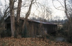 | Cromer's Mill Covered Bridge | Listed 1976 |
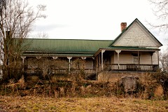
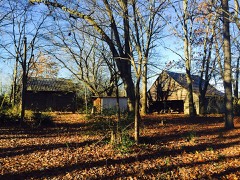
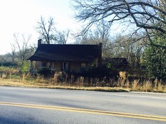
Selected from the Digital Public Library of America's 1 image records catalogued for this county. Every one shown here carries a public-domain status or a licence that permits reuse on a site that carries advertising; non-commercial, share-alike and restricted images are excluded. The selection is spread across the county's towns (at most eight per town), so no single institution's bulk upload crowds out the rest. Each opens the holding library's record, and the complete set at the Digital Public Library of America is one click away.

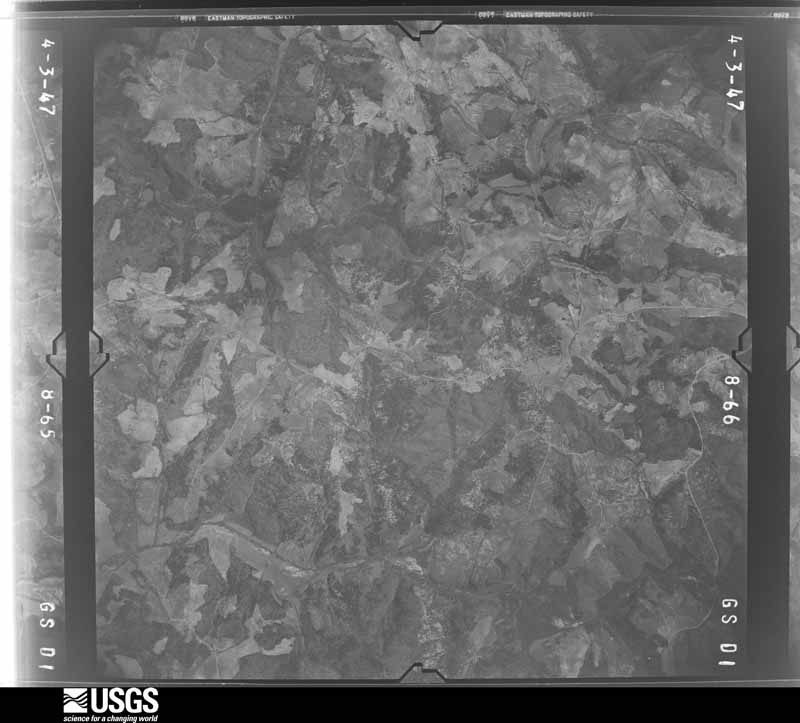
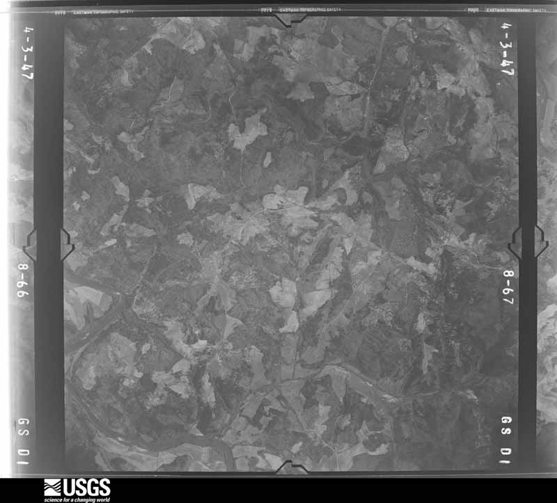
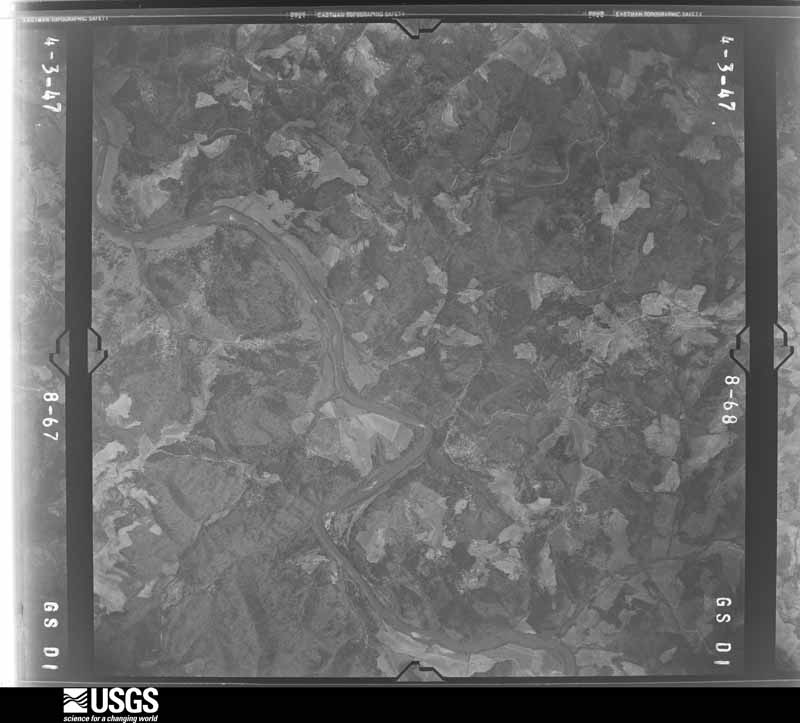
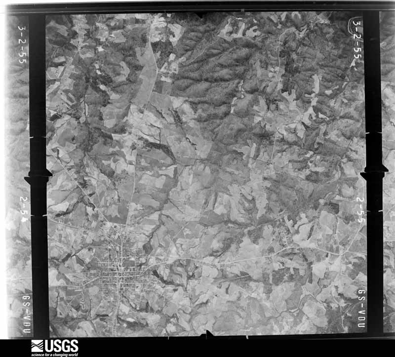
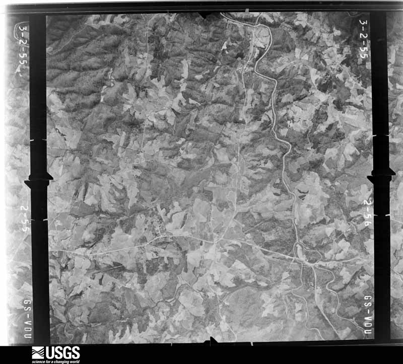
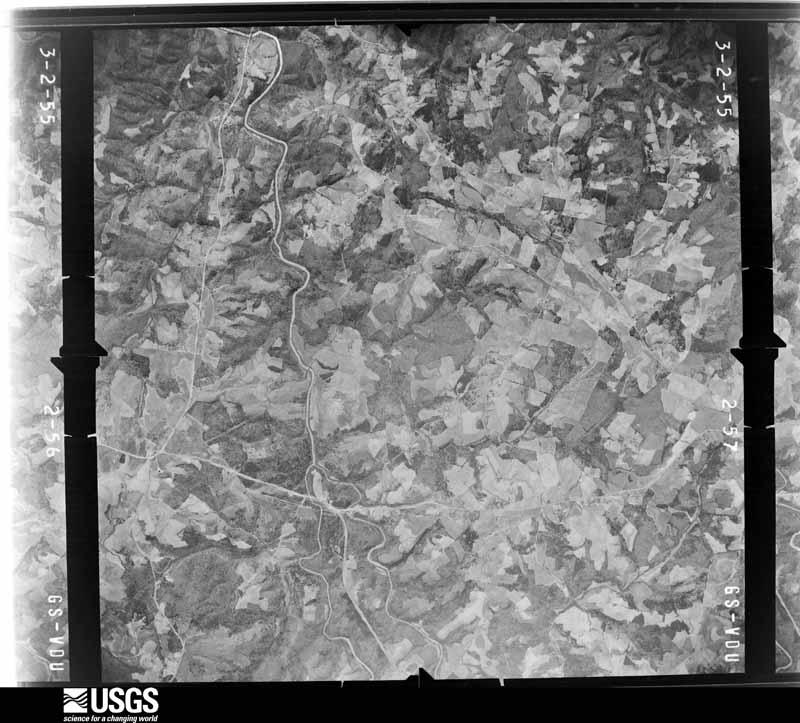
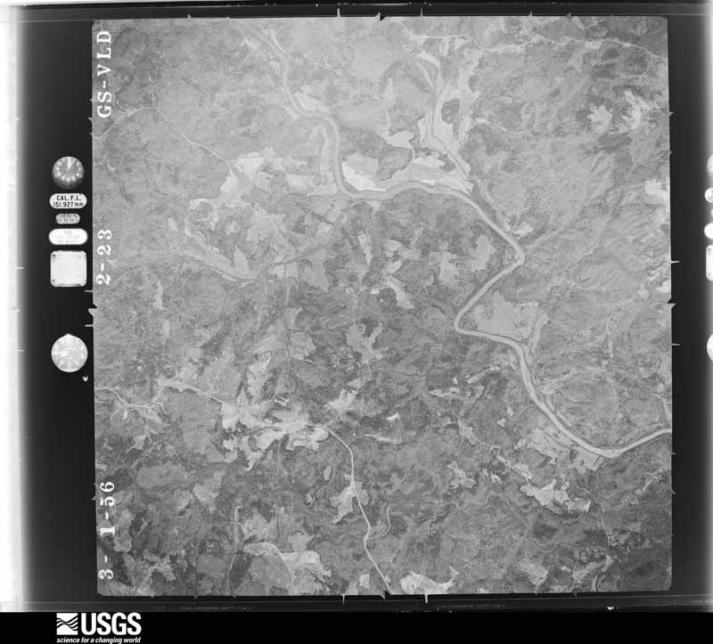
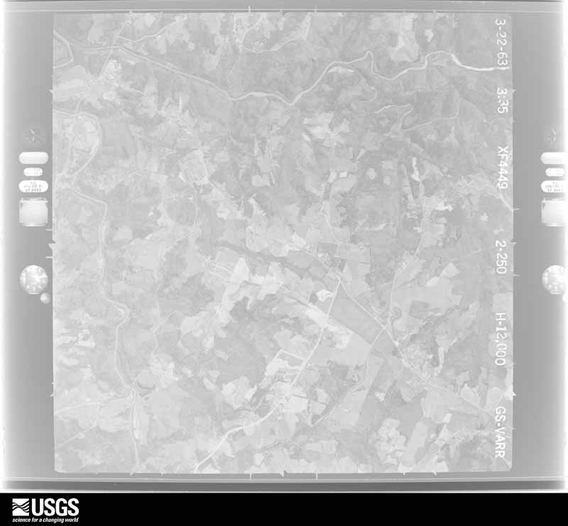
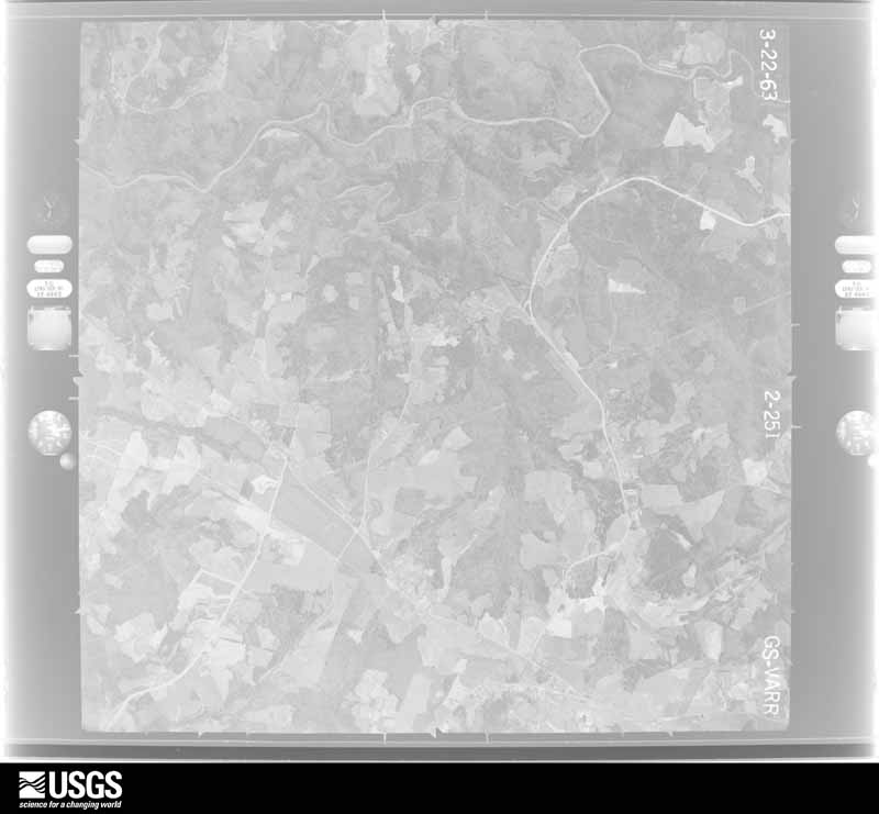
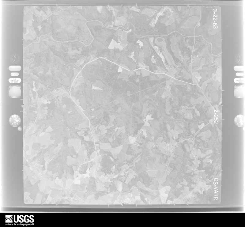
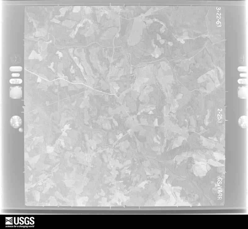
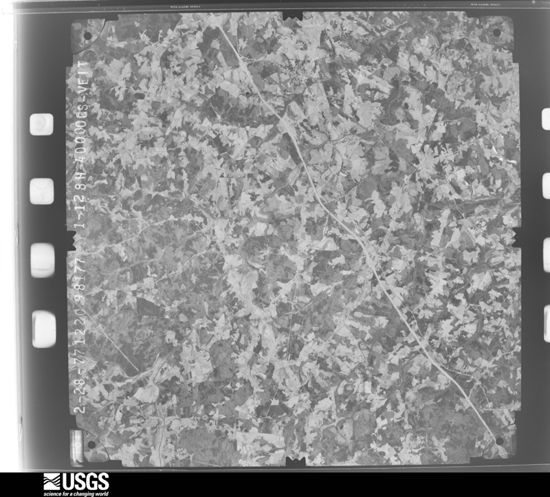
Flown by the U.S. Geological Survey between 1937 and 1989, the Aerial Photo Single Frames collection is the definitive mid-century view of the land: fields, roads and rivers as the camera saw them. The Survey holds 341 frames inside the rectangle that bounds this county; the 19 frames below were taken over the county itself, chosen across the decades of flights (at most four a year from that rectangle), so one flight cannot crowd out the rest. The full set is free to browse and download at EarthExplorer under the dataset Aerial Photo Single Frames.







The thermometers that kept this county's weather, and the gages that measured the flow of its streams, as the federal records hold them.
Who lived here in 1950, one enumeration district at a time, as the Census Bureau described each district. Each row opens its official National Archives result, with Population Schedules and ED Maps available there.
Every wildfire the federal occurrence database records inside this county: 678 of them, burning about 1,184 acres. 19 started naturally and 61 were recorded as arson. Each settlement page carries the fires within five miles of it.
| Reported cause | Fires |
|---|---|
| Debris and open burning | 390 |
| Equipment and vehicle use | 84 |
| Missing data/not specified/undetermined | 63 |
| Arson/incendiarism | 61 |
| Misuse of fire by a minor | 23 |
| Smoking | 20 |
| Natural | 19 |
| Recreation and ceremony | 10 |
| Railroad operations and maintenance | 8 |
The five largest, by the area the report gives. Two of them were set deliberately.
| Date | Cause | Size | Reported by | Name on the report |
|---|---|---|---|---|
| 4 March 2013 | Debris and open burning | 37 acres | Georgia Forestry Commission | FY2013-BANKS-005 |
| 4 March 2010 | Debris and open burning | 36 acres | Georgia Forestry Commission | FY2010-GREENE-009 |
| 22 February 2007 | Missing data/not specified/undetermined | 28 acres | Georgia Forestry Commission | not named |
| 31 January 1992 | Debris and open burning | 23 acres | Georgia Forestry Commission | not named |
| 23 March 2002 | Debris and open burning | 21 acres | Georgia Forestry Commission | FY2002-FRANKLIN-026 |
| 24 March 1995 | Arson/incendiarism | 20 acres | Georgia Forestry Commission | not named |
| 1 April 2015 | Debris and open burning | 20 acres | Georgia Forestry Commission | FY2015-FRANKLIN-010 |
| 19 February 2002 | Arson/incendiarism | 18 acres | Georgia Forestry Commission | FY2002-FRANKLIN-021 |
Every settlement page carries the fires within five miles of it - see the settlement index below.
The NOAA Storm Events Database holds 189 reports for this county, causing 1 death, 4 injuries and about $2,100,000 in recorded property damage. Each settlement page carries the reports that name it.
| Kind of event | Reports |
|---|---|
| Thunderstorm Wind | 122 |
| Hail | 41 |
| Tornado | 13 |
| Flash Flood | 8 |
| Flood | 2 |
| Lightning | 2 |
| Heavy Rain | 1 |
The most serious of them, by death, then injury, then recorded damage. The accounts are quoted exactly as the forecast office filed them.
| When | Event | Place named | Harm | What the report says |
|---|---|---|---|---|
| September 2004 | Tornado (F2) | Franklin Spgs | 1 killed, 1 hurt, $75,000 | This tornado touched down west of Franklin Springs, then moved north-northwest, damaging several homes, businesses, and vehicles as it tracked toward Carnesville. Numerous trees and power lines were also blown down. A 38-year-old woman was killed when the vehicle she was driving was hit by a falling tree. A passenger in the vehicle received minor injuries. |
| April 1985 | Thunderstorm Wind | not stated | 2 hurt | no account filed |
| May 1999 | Lightning | Canon | 1 hurt | no account filed |
| September 2004 | Tornado (F2) | Franklin Spgs | $1,100,000 | This tornado moved north across the town of Franklin Springs, damaging or destroying numerous structures along its 3-mile path. The city government building and the fire and police stations incurred significant damage, as did approximately 25 residences. Several large chicken houses were also destroyed. |
| May 1973 | Tornado (F1) | not stated | $250,000 | no account filed |
| April 1970 | Tornado (F2) | not stated | $250,000 | no account filed |
| April 2020 | Thunderstorm Wind | Plainview | $100,000 | County comms reported numerous trees and power lines blown down across Franklin County. The hardest hit area was the Gumlog community, where some structural damage occurred, mainly due to trees and large limbs falling on structures. |
| May 2003 | Tornado (F1) | Sandy Cross | $100,000 | This tornado touched down near Brays Lake and damaged several homes and businesses along its 6-mile track. |
| October 2015 | Heavy Rain | Carnesville | $25,000 | Public reported multiple trees down in the Carnesville area due to a combination of saturated soil and gusty winds. One tree fell on a home on Highway 59. |
| September 2004 | Tornado (F1) | Carnesville | $25,000 | This tornado touched down near Carnesville, then tracked northwest toward Red Hill, damaging a few homes, as well as numerous trees and power lines along its 5-mile track. |
| June 1996 | Thunderstorm Wind | Lavonia | $25,000 | no account filed |
| July 1961 | Tornado (F1) | not stated | $25,000 | no account filed |
| February 1952 | Tornado (F2) | not stated | $25,000 | no account filed |
| April 2019 | Flash Flood | Plainview | $15,000 | Law enforcement officials reported flash flooding developed across Franklin County after 4 to 7 inches of rain fell across the county, mostly in a bout a six-hour period. Around a dozen roads were closed due to inundation from poor drainage as well as from small streams overflowing their banks. Four roads were also washed out. |
| August 2023 | Thunderstorm Wind | Plainview | $10,000 | County comms reported numerous trees and power lines blown down across Franklin County. One tree was down on a house on Highway 17 near Lavonia. |
| February 2020 | Flash Flood | Parhams | $10,000 | Radio station reported flash flooding developed along multiple tributaries of the Broad River across Franklin County after 5 to 6 inches of rain fell in around 24 hours, with more than half of that falling in just a few hours during the morning of the 6th. Turkey Creek flooded Manley Rd and Woods Rd in the northern part of the county. Other roads flooded and closed in that part of the county included Salubrity Rd, Old Stagecoach Rd, and McClain Rd, which was flooded by Stephens Creek. In the Royston and Franklin Springs area, inundated roads included Rice Creek Rd and Olivers Rd. |
| February 2020 | Flood | Parhams | $10,000 | Although heavy rain tapered off across Franklin County throughout the afternoon, runoff from the day's excessive rainfall resulted in high water conditions persisting well into the evening hours. |
| April 2019 | Thunderstorm Wind | Lavonia | $10,000 | County comms reported numerous trees and power lines blown down in the Lavonia area, with one tree down on house. |
| March 2003 | Flash Flood | Countywide | $10,000 | Nine bridges were washed out, as were eight drainage culverts. |
| May 2002 | Thunderstorm Wind | Lavonia | $10,000 | A tree was blown onto a house, while several other trees were blown across roads. A few powerlines were also blown down. |
| August 2023 | Thunderstorm Wind | Canon Franklin Co Ar | $5,000 | Co-op observer reported a tree blown down on a vehicle along Highway 17. |
| August 2022 | Thunderstorm Wind | Lavonia | $5,000 | Numerous trees and power lines were blown down in Tugaloo State Park and in the city of Lavonia. One tree fell on a vehicle. |
| November 2003 | Tornado (F0) | Carnesville | $5,000 | This weak tornado caused damage to the roof of one building and blew the roof off an outbuilding along highway 106. Numerous trees and large tree limbs were also blown down along its intermittent 4-mile path. |
| July 1954 | Tornado (F1) | not stated | $2,500 | no account filed |
| June 2025 | Thunderstorm Wind | Royston | $2,000 | Public reported trees blown down and a small shed destroyed in the Royston area. |
| August 2002 | Thunderstorm Wind | Carnesville | $2,000 | Numerous trees were blown down and a tin roof was torn off of a home. |
| June 2009 | Thunderstorm Wind | Lavonia | $1,000 | Three trees were blown down and a carport was damaged. |
| March 2003 | Thunderstorm Wind | Royston | $1,000 | Several cars were blown off of roads and power lines were blown down. |
| August 2003 | Thunderstorm Wind | Carnesville | $1,000 | Some trees and power lines were blown down. |
| June 1994 | Thunderstorm Wind | Lavonia | $500 | A few large trees were blown down by thunderstorm winds. |
| March 2026 | Thunderstorm Wind | Lavonia | - | Utility company reported trees blown down on power lines and causing an outage in the Gumlog community. |
| June 2025 | Thunderstorm Wind | Lavonia | - | Public reported multiple trees blown down in the Gumlog and Tugaloo State Park areas. |
| June 2025 | Thunderstorm Wind | Canon | - | Public reported trees blown down in the Canon area. |
| June 2025 | Thunderstorm Wind | Carnesville | - | Public reported trees blown down in Carnesville and in Lavonia. |
| June 2025 | Hail | Royston | - | Public reported (via Social Media) up to quarter size hail in the Royston area. |
| February 2024 | Thunderstorm Wind | Carnesville | - | County comms reported a few trees blown down with a couple falling on power lines in Carnesville and vicinity. |
| August 2024 | Thunderstorm Wind | Franklin Spgs | - | County comms reported multiple trees blown down from Franklin Springs to Royston, with three down on power lines. |
| August 2023 | Thunderstorm Wind | Franklin Spgs | - | County comms reported multiple trees blown down with one on power lines on Rice Mill Rd and additional trees down closer to Canon. |
| August 2023 | Tornado (EF0) | Canon Franklin Co Ar | - | NWS storm survey found the path of a weak tornado that touched down north of Starrs Bridge Rd, just west of Johns Bridge Rd. The tornado tracked southeast, crossing Starrs Bridge Rd, Bryant Park Rd, and Campbell Ridge Rd before crossing through the western side of Royston. The tornado passed into Hart County on the south side of Royston. Damage was limited to multiple uprooted trees. |
| August 2023 | Thunderstorm Wind | Canon | - | County comms reported multiple trees down in Canon. |
| August 2023 | Thunderstorm Wind | Carnesville | - | County comms reported multiple trees blown down in the Carnesville area. |
| August 2021 | Hail | Carnesville | - | Co-op observer reported quarter size hail in Carnesville. |
| April 2021 | Hail | Lavonia | - | Public reported (via Social Media) quarter size hail in the Gumlog community. |
| April 2020 | Hail | Plainview | - | Public reported nickel size hail on Boxer Ln. |
| April 2019 | Thunderstorm Wind | Carnesville | - | Public reported multiple trees uprooted in the 300 block of Railroad Bridge Road. |
| April 2019 | Thunderstorm Wind | Canon Franklin Co Ar | - | County comms reported multiple trees blown down along Highway 145. |
| June 2019 | Thunderstorm Wind | Carnesville | - | Dept of highways reported trees blown down and blocking Commerce Rd as well as Atkinson Bridge Rd. |
| September 2018 | Thunderstorm Wind | Sandy Cross | - | County comms reported a couple of trees blown down. |
| August 2018 | Thunderstorm Wind | Cromers | - | County comms reported trees blown down along Athens and Cole roads. |
| June 2018 | Thunderstorm Wind | Carnesville | - | County comms reported multiple trees blown down between Carnesville and Lavonia. |
| June 2018 | Thunderstorm Wind | Unity | - | Public reported numerous trees snapped and power lines blown down along Highway 320. |
| March 2017 | Hail | Carnesville | - | Public reported 3/4 inch hail in the Carnesville area. |
| March 2017 | Hail | Royston | - | County comms relayed police report of quarter size hail. |
| March 2017 | Thunderstorm Wind | Cromers | - | County comms reported trees and power lines blown down along Sandy Cross Road. |
| April 2017 | Hail | Cromers | - | Public and spotter reported quarter size hail from south of Carnesville to the Franklin Springs area. |
| November 2017 | Thunderstorm Wind | Canon | - | County comms reported a tree blown down on power lines on Jackson Bridge Rd and power lines down on Starrs Bridge Rd and a tree down on Fowler St in Canon. |
| November 2017 | Hail | Canon Franklin Co Ar | - | Public reported (via Social Media) quarter size hail near Royston. |
| July 2017 | Thunderstorm Wind | Franklin Spgs | - | County comms reported a tree blown down On River Bend Circle and a couple of trees and power lines blown down in Franklin Springs. |
| August 2015 | Thunderstorm Wind | Carnesville | - | County comms reported two trees blown down in the Carnesville area. |
| June 2015 | Thunderstorm Wind | Aid | - | County comms reported scattered trees blown down throughout the county. |
The Survey's mineral resources record lists 2 workings inside this county. None of them still produces: all are closed or unrecorded. Each settlement page carries the workings within five miles of it.
| Commodity | Workings |
|---|---|
| Mica | 2 |
The least common of them first, because a county's hundredth gravel pit says nothing its first ten did not.
| Where | Site | Commodity | Status | Recorded |
|---|---|---|---|---|
| Highway Deposits | Mica | Occurrence | ||
| Weldon Mine | Mica | Prospect |
Named settlements recorded in the Geographic Names Information System, each with the topographic sheets covering it. Villages, hamlets and abandoned places alike. Each is shown with the nearest named watercourse or landform and the survey quadrangle it falls on. The 2 places that were also surveyed for fire insurance come first, with the number of atlases and photographs held for them.
Lavonia census division · 30553 · Lavonia quadrangle
15 sheets, 1891 to 1985
Fire insurance: 3 atlases
Lavonia census division · 30553 · On Clarks Creek · Martin quadrangle
15 sheets, 1891 to 1979
Lavonia census division · 30553 · On Little Crawford Creek · Lavonia quadrangle
15 sheets, 1891 to 1985
Carnesville census division · 30521 · On Ragsdale Creek · Ashland quadrangle
14 sheets, 1891 to 1979
Lavonia census division · 30557 · On Gum Log Creek · Oakway quadrangle
18 sheets, 1886 to 1981
Carnesville census division · 30557 · On Clarks Creek · Martin quadrangle
15 sheets, 1891 to 1979
No longer a settlement
Carnesville census division · 30521 · Ashland quadrangle
14 sheets, 1891 to 1979
No longer a settlement
Lavonia census division · 30553 · On Little Crawford Creek · Lavonia quadrangle
15 sheets, 1891 to 1985
Sandy Cross census division · 30662 · Carnesville quadrangle
15 sheets, 1891 to 1979
No longer a settlement
The vanished settlements of Franklin County: the places named above that are no longer on the map.
15 topographic sheets and 3 fire insurance atlases, 1911 to 1932