 Block
From the record
18 National Register listings published here, 1 of them a National Historic Landmark.
Sources: the National Register database, National Park Service
63 topographic sheets and 9 fire insurance atlases across 1 place.
18 National Register listings published here, 1 of them a National Historic Landmark.
Sources: the National Register database, National Park Service
Taken for the Office of War Information and the Farm Security Administration, who photographed the country between 1935 and 1944. Works of United States government photographers, with no known restriction on use. Each opens its catalogue record.
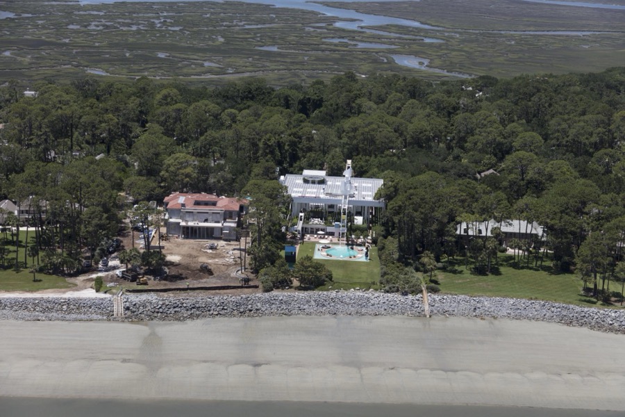
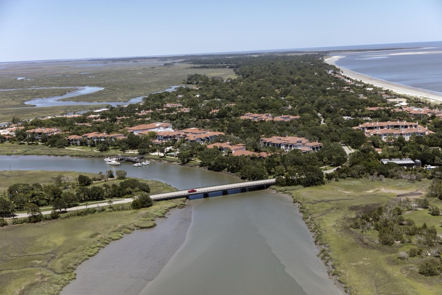
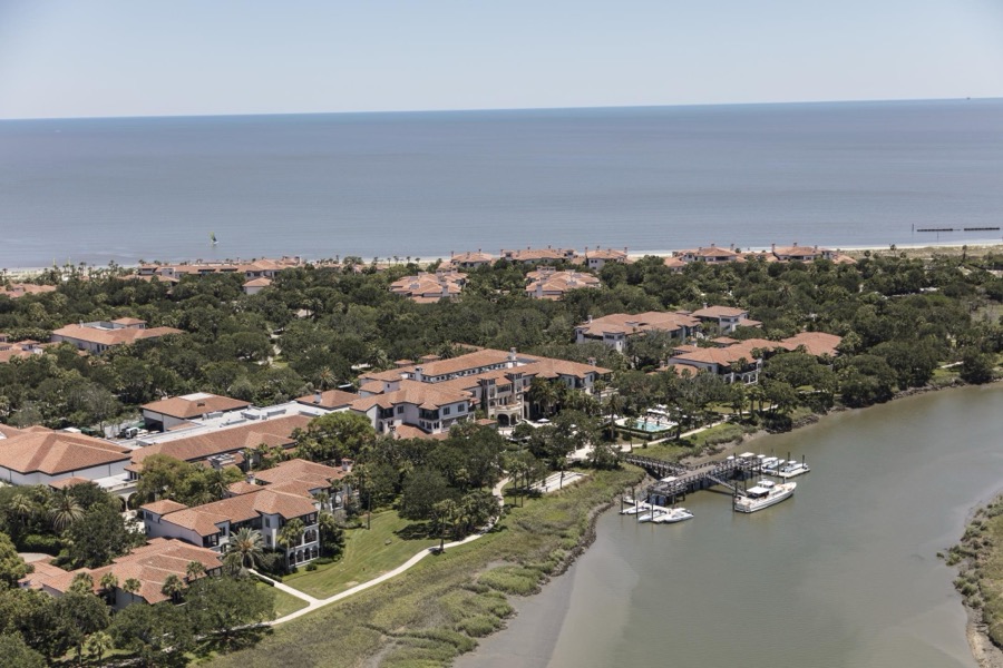
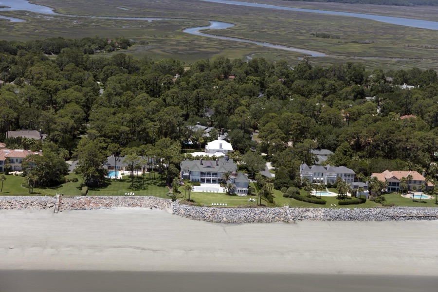
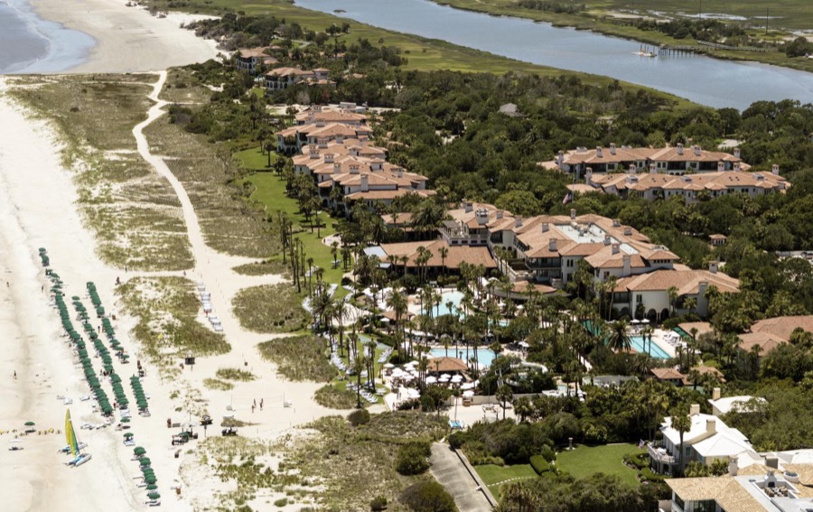
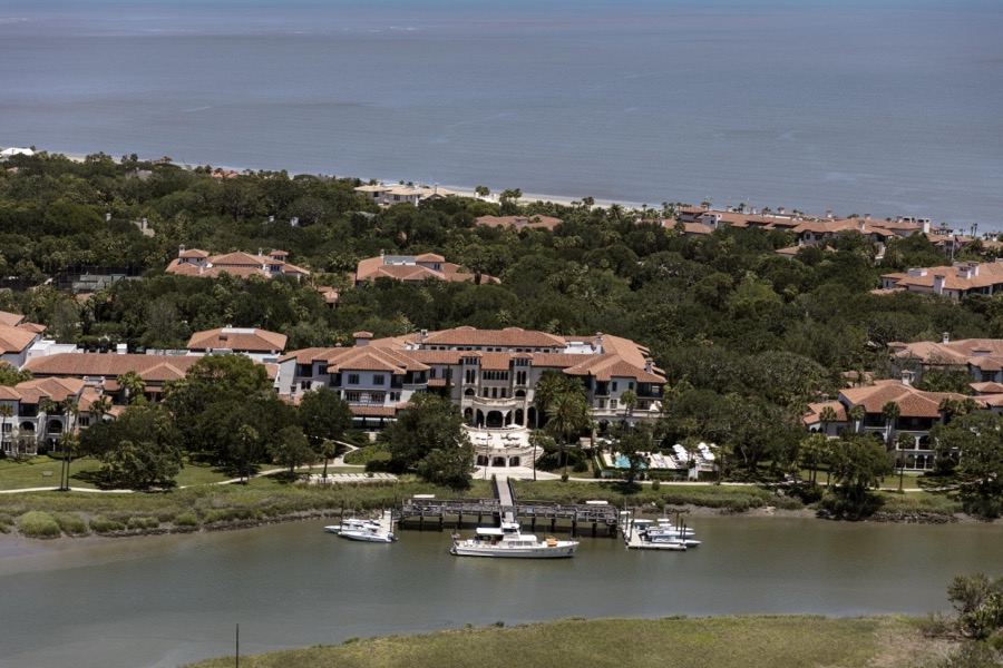
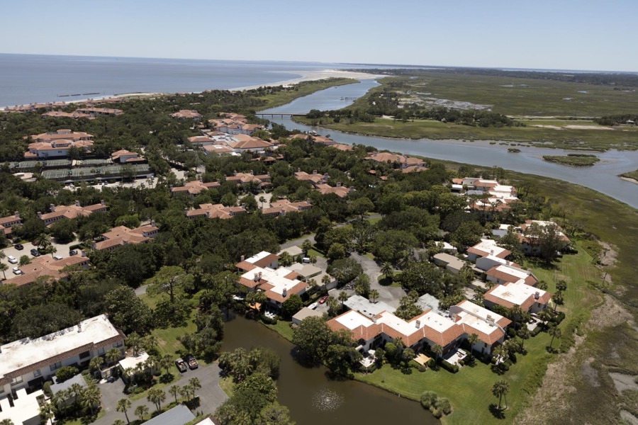
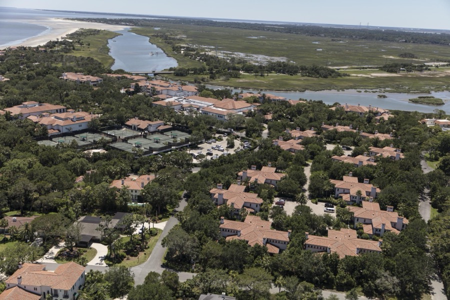
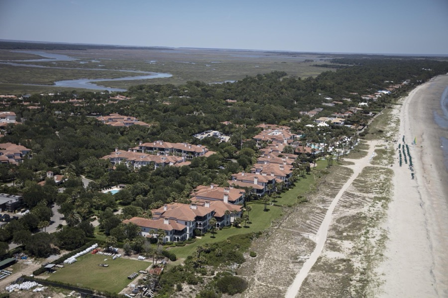
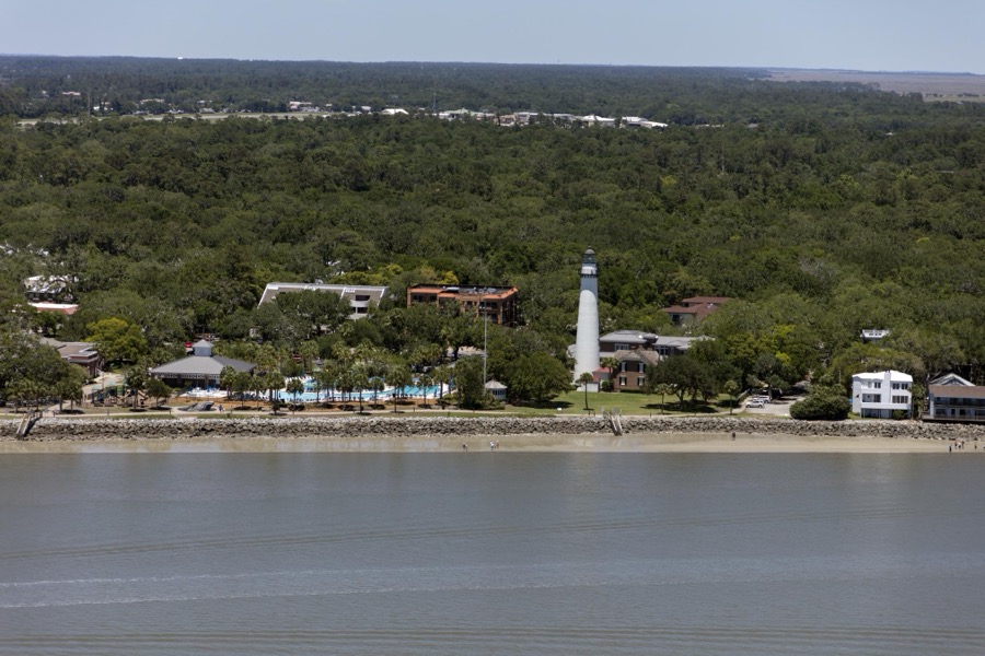
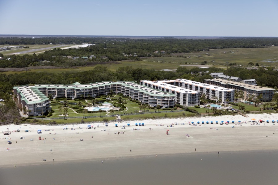
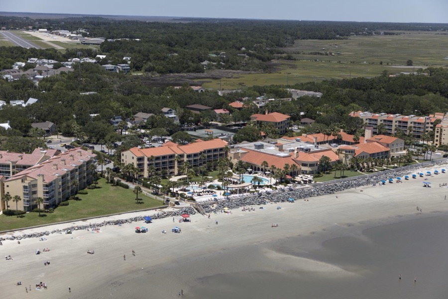
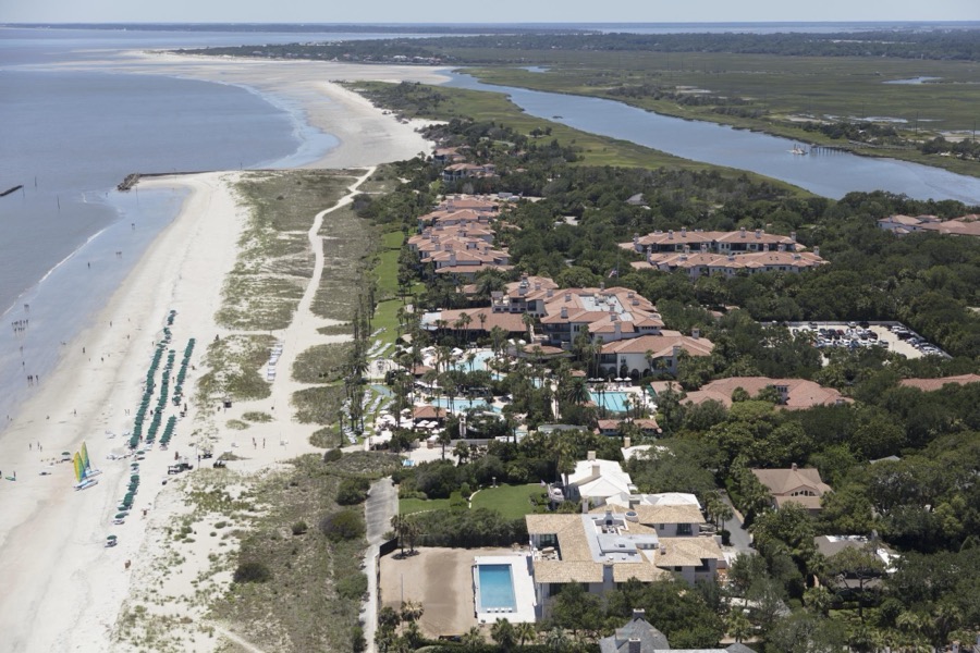
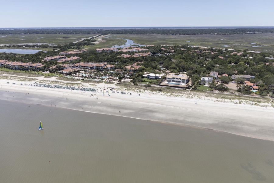
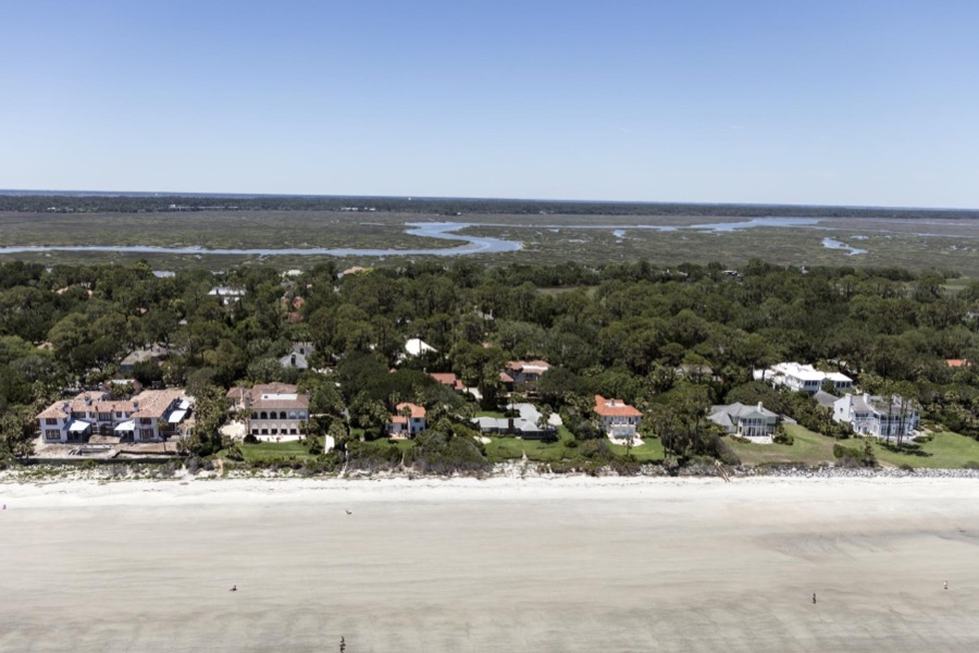
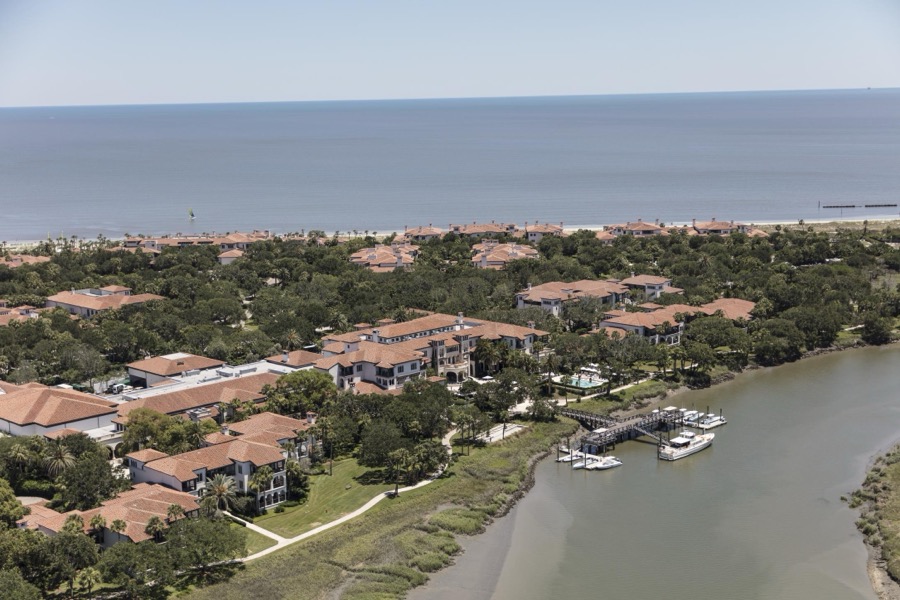
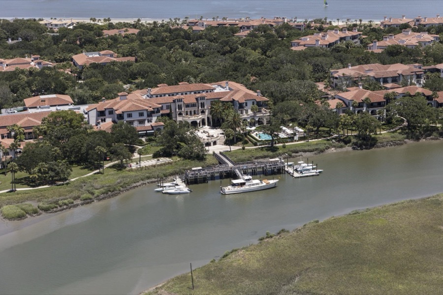
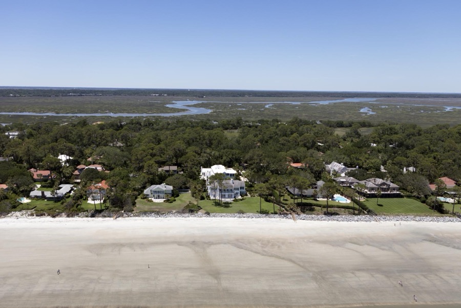
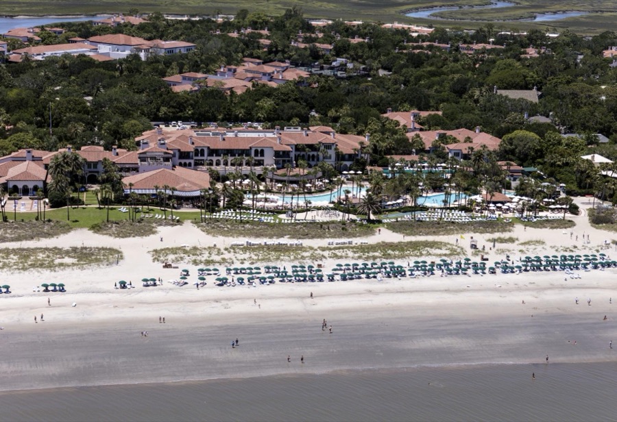
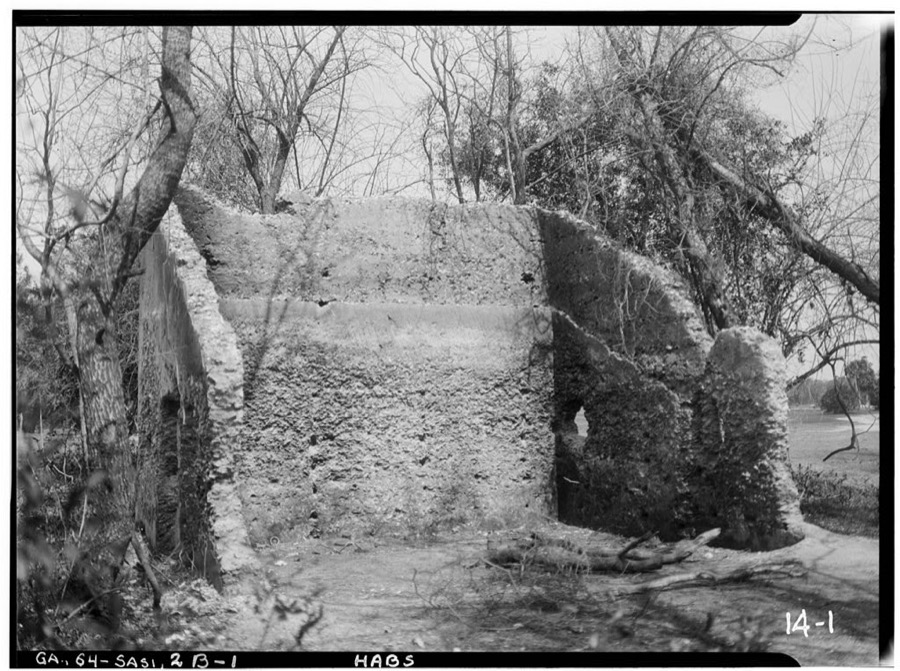
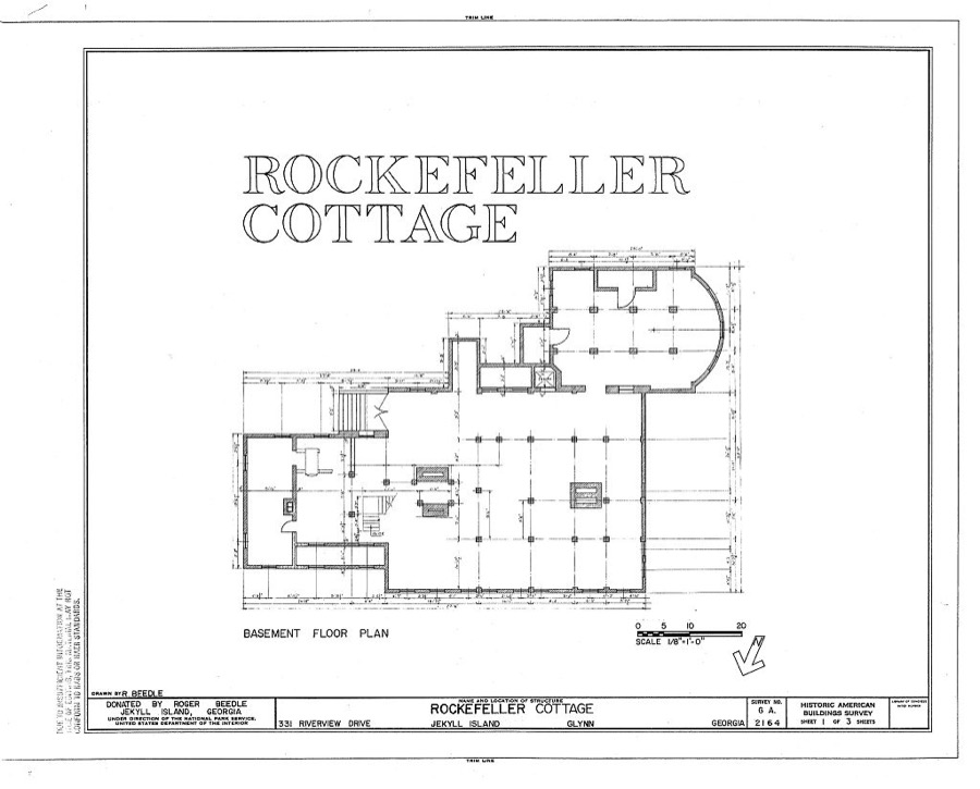
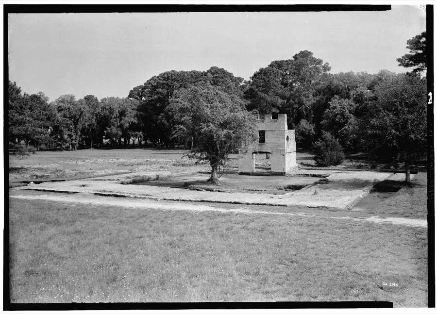
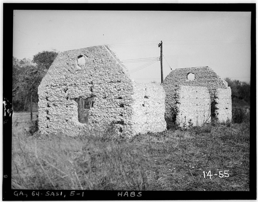
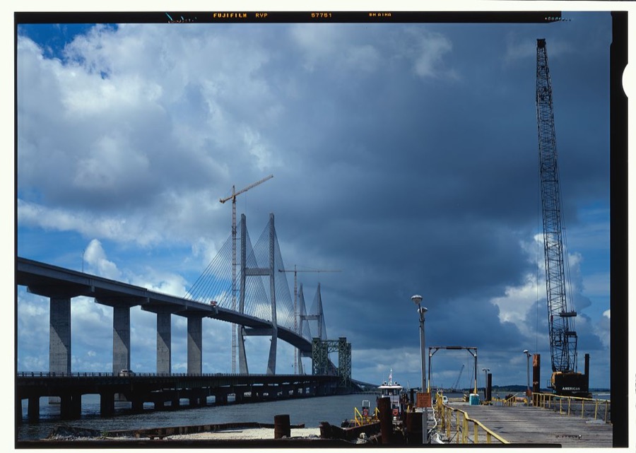
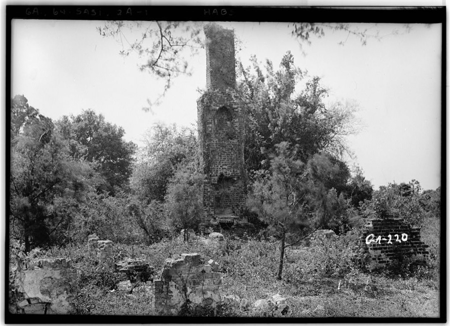
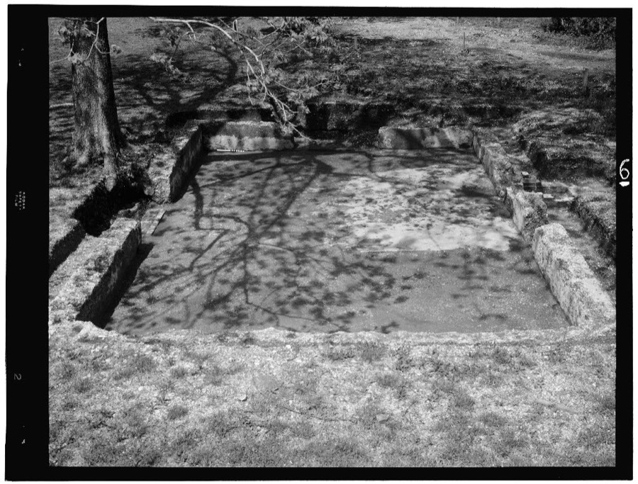
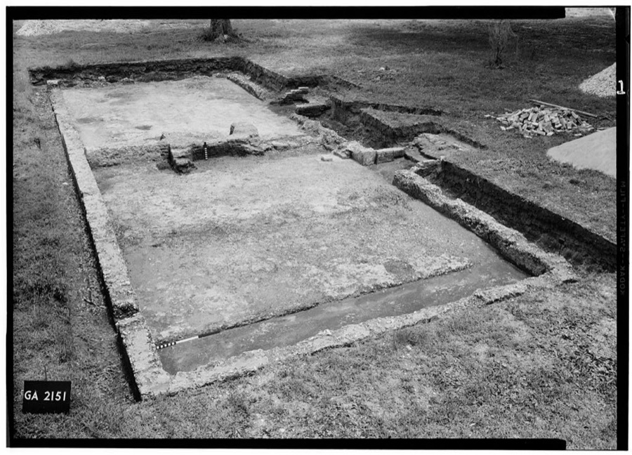
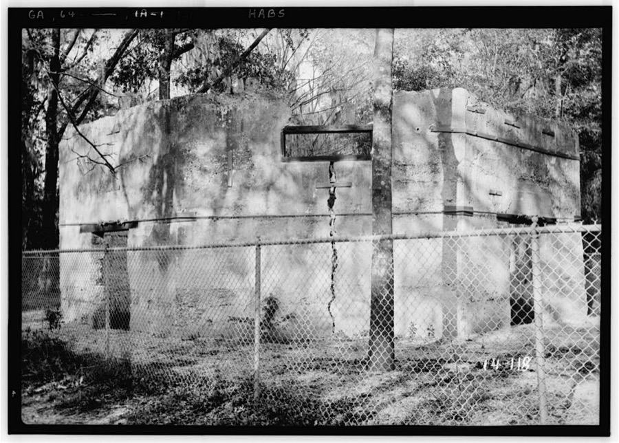
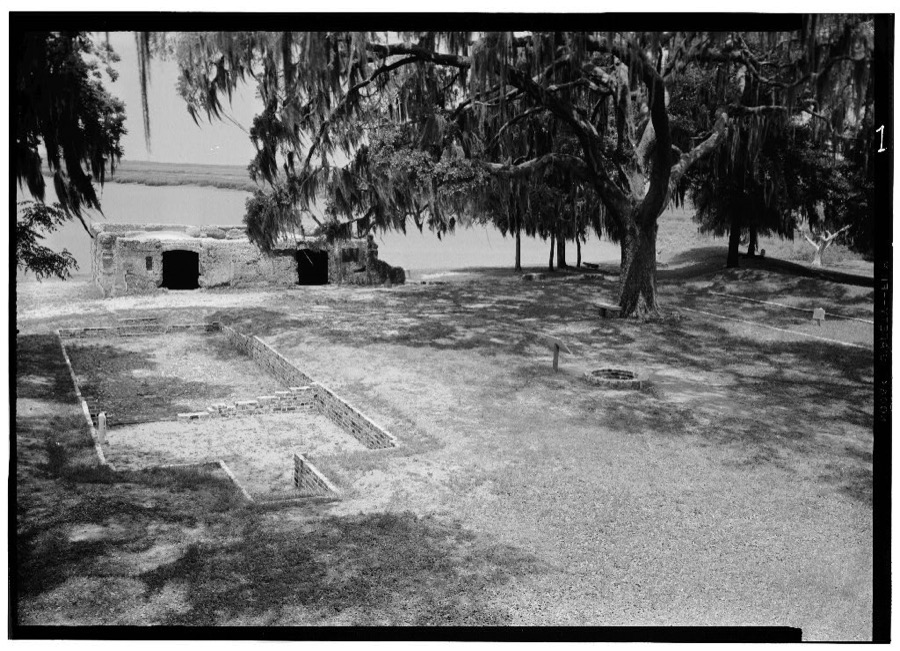
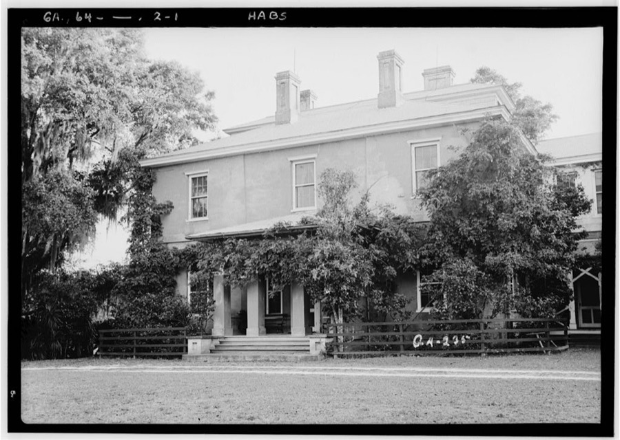
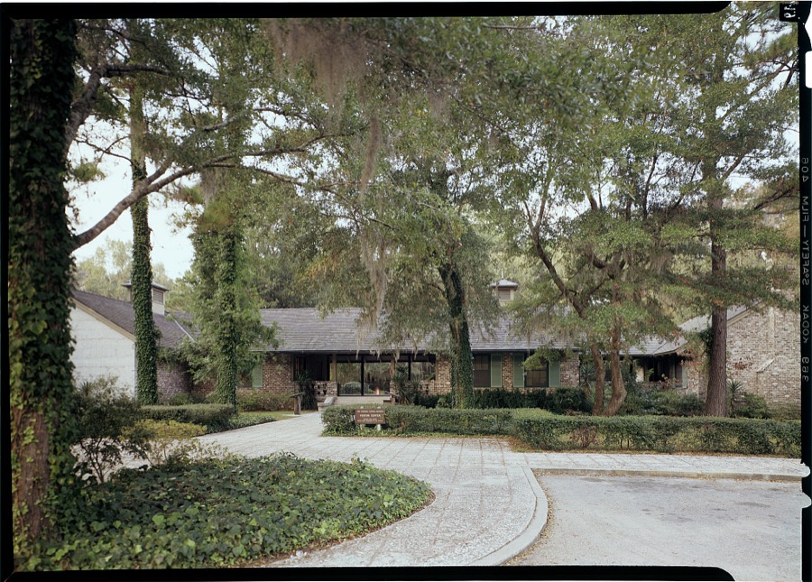
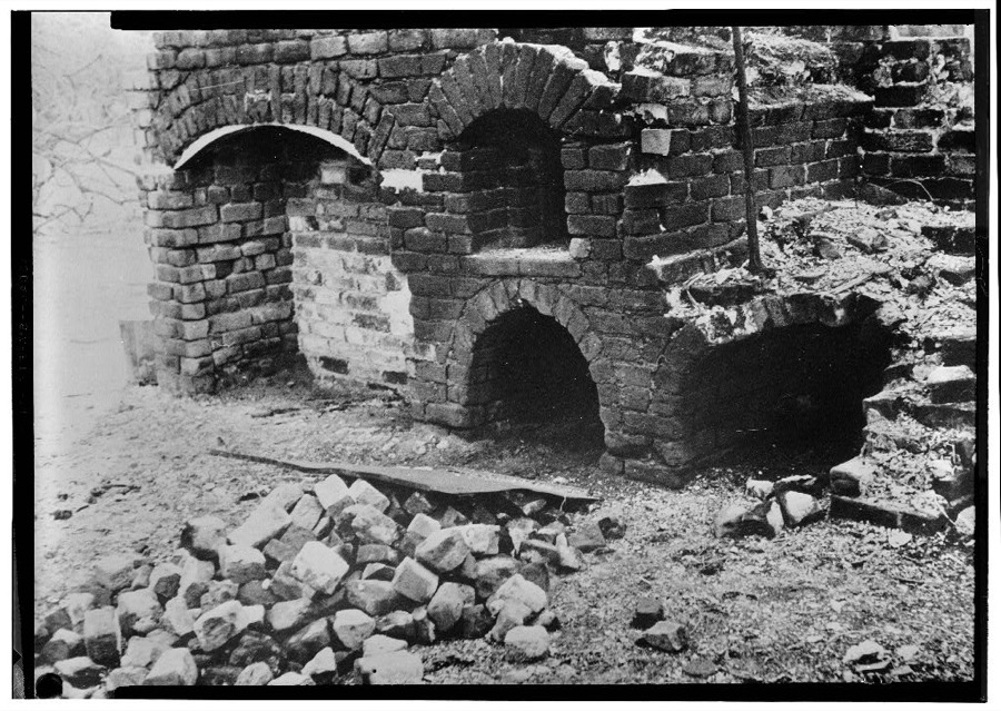
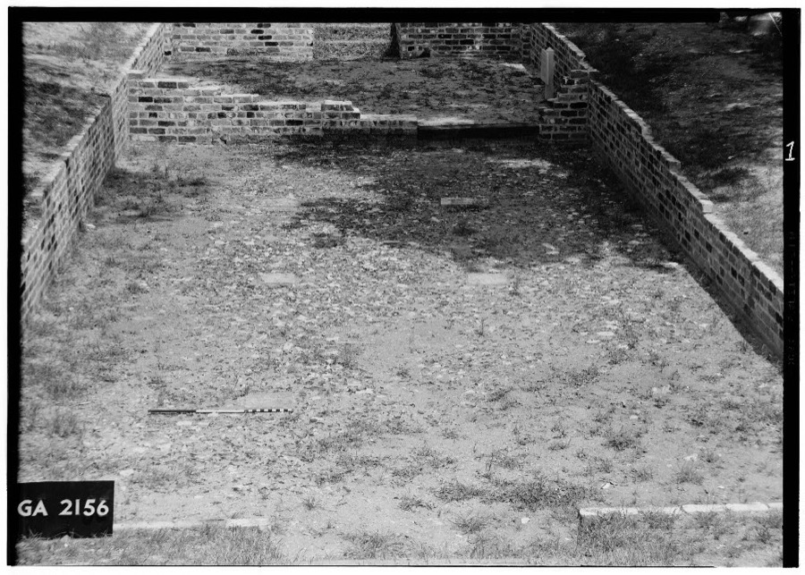
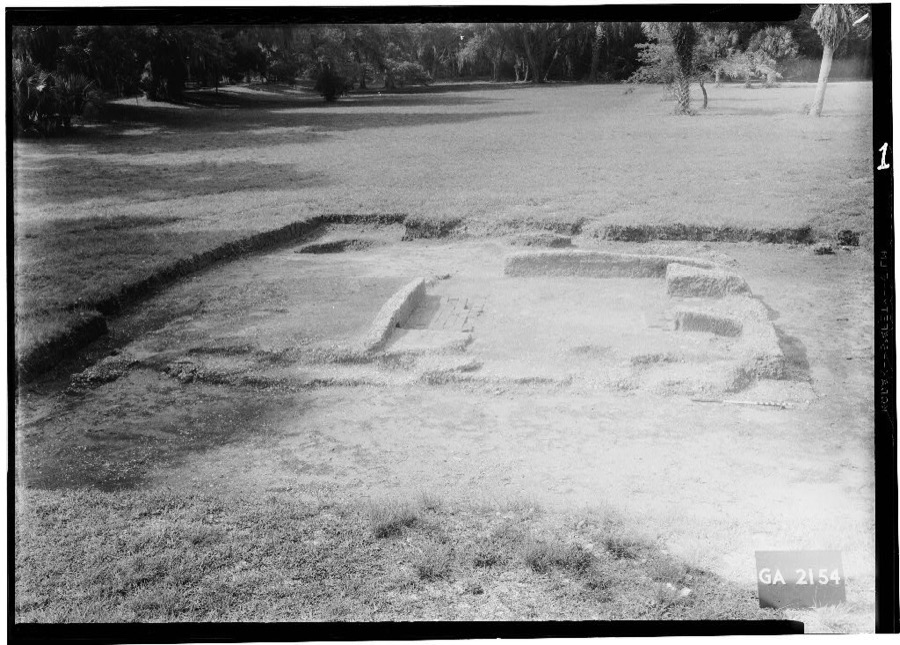
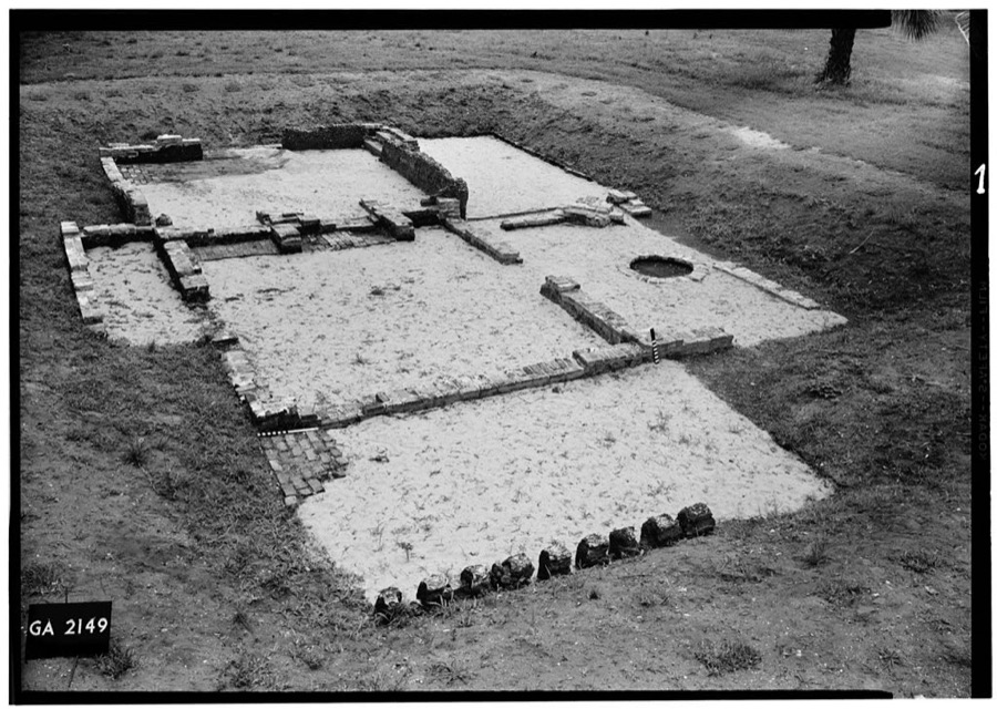
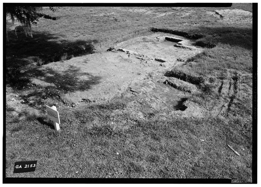
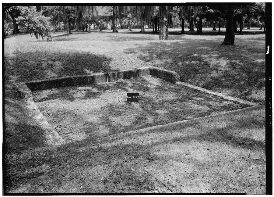
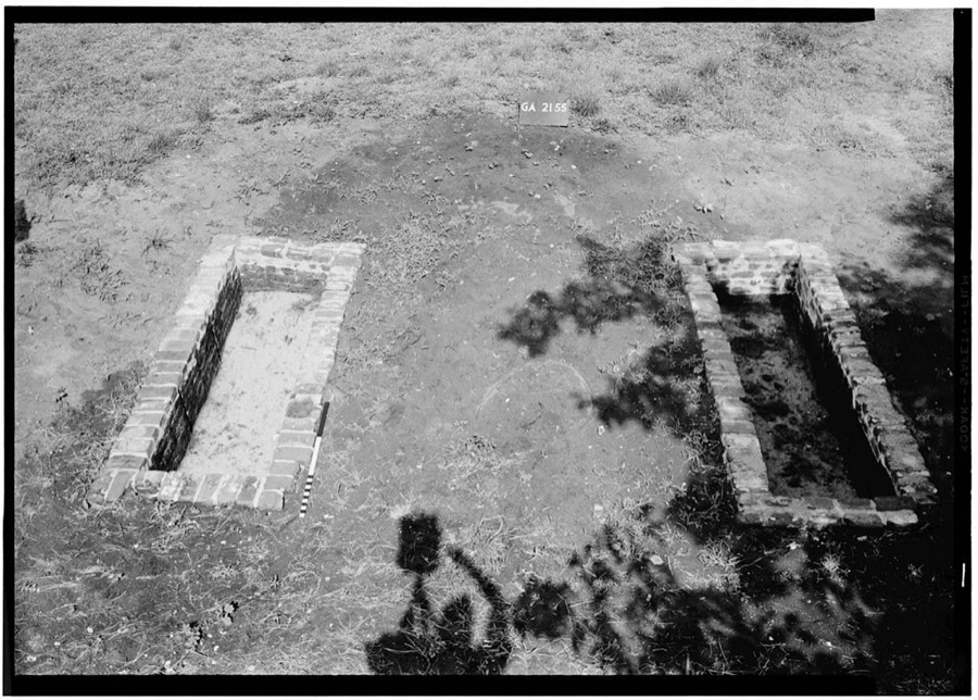
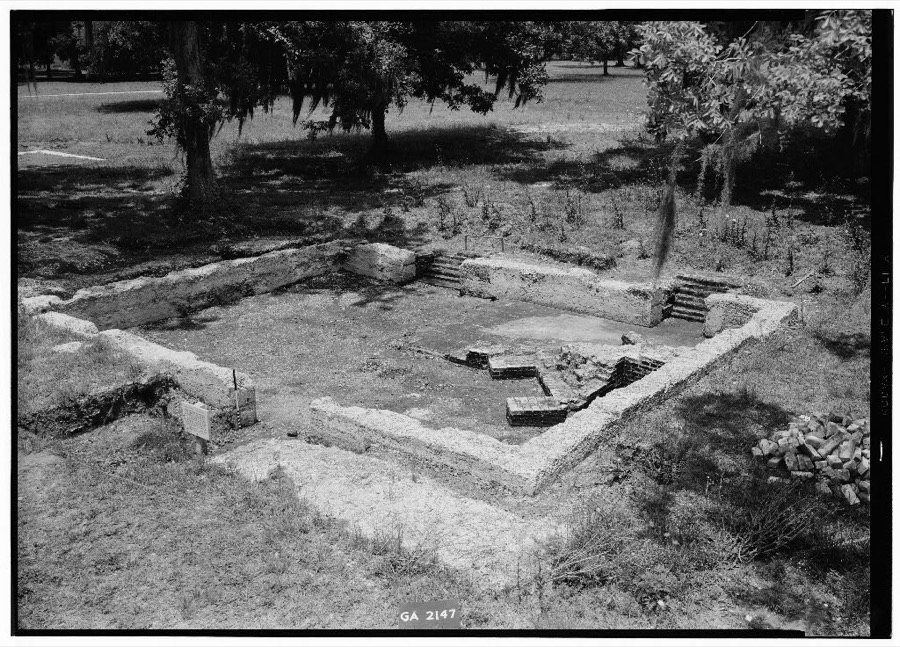
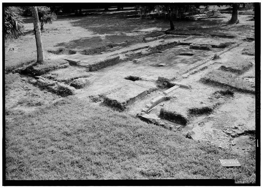
Every property in this county listed on the National Register of Historic Places, with the year it was listed and the federal nomination document.
| Photograph | Property | Type | Listed | Reference |
|---|---|---|---|---|
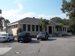 | Ballard School | building | 2004 | 04001181 |
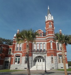 | Brunswick Old Town Historic District | district | 1979 | 79000727 |
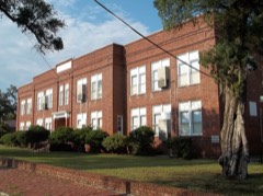 | Colored Memorial School and Risley High School | building | 2002 | 02001290 |
| Dixville Historic District | district | 2019 | 100004744 | |
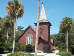 | Faith Chapel | building | 1971 | 71000277 |
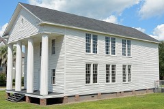 | Glynn Academy | building | 2011 | 11000775 |
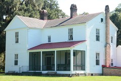 | Hofwyl-Broadfield Plantation | building | 1976 | 76000635 |
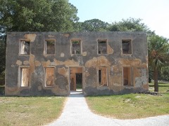 | Horton-duBignon House | building | 1971 | 71000278 |
| Horton-duBignon House, Brewery Ruins, duBignon Cemetery | district | 1971 | 71000278 |
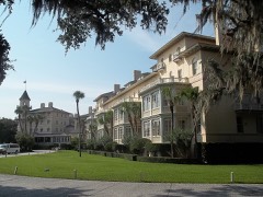 | Jekyll Island Club | district | 1972 | 72000385 |
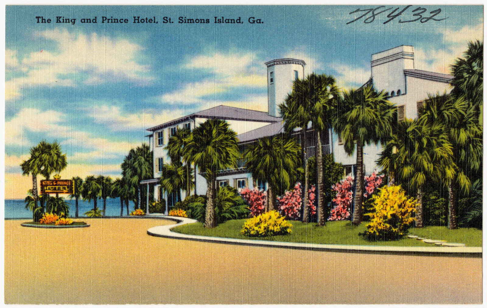
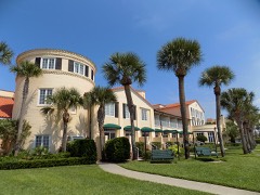 | King and Prince Hotel | building | 2005 | 04001465 |
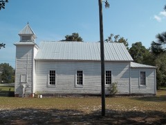 | Needwood Baptist Church and School | building | 1998 | 98001520 |
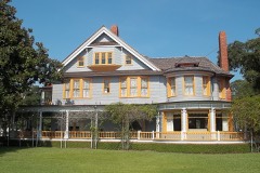 | Rockefeller Cottage | district | 1971 | 71000279 |
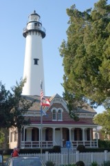 | St. Simons Lighthouse and Lighthouse Keepers' Building | district | 1972 | 72000386 |
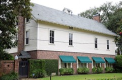 | Strachan House Garage | building | 1997 | 97000660 |
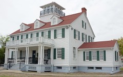 | US Coast Guard Station-St. Simons Island | building | 1998 | 98000297 |
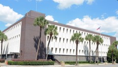 | United States Post Office and Court House | building | 2014 | 14000153 |
 | Windsor Park Historic District | district | 2013 | 13000877 |
Sampled issues, machine-read from the Library of Congress scan and published page by page, so every headline and column is searchable text.
Brunswick, Ga., 1901 to 1903. Machine-read from the Library of Congress scan.
Brunswick, Ga., 1903 to 1906. Machine-read from the Library of Congress scan.
Brunswick, Ga.; [Brunswick, Georgia?], 1906 to 2016. Machine-read from the Library of Congress scan.
Brunswick, Ga.; Brunswick, Ga; C. W. Deming, 188? to 1900. Machine-read from the Library of Congress scan.
Brunswick, Ga.; Brunswick, Ga. : R.A. Mullins, 1900 to 1902. Machine-read from the Library of Congress scan.
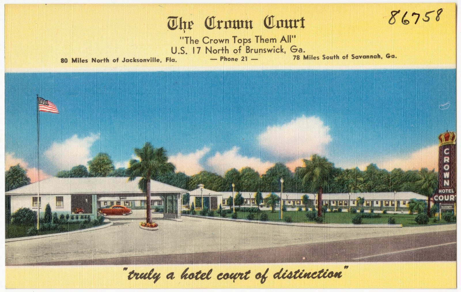
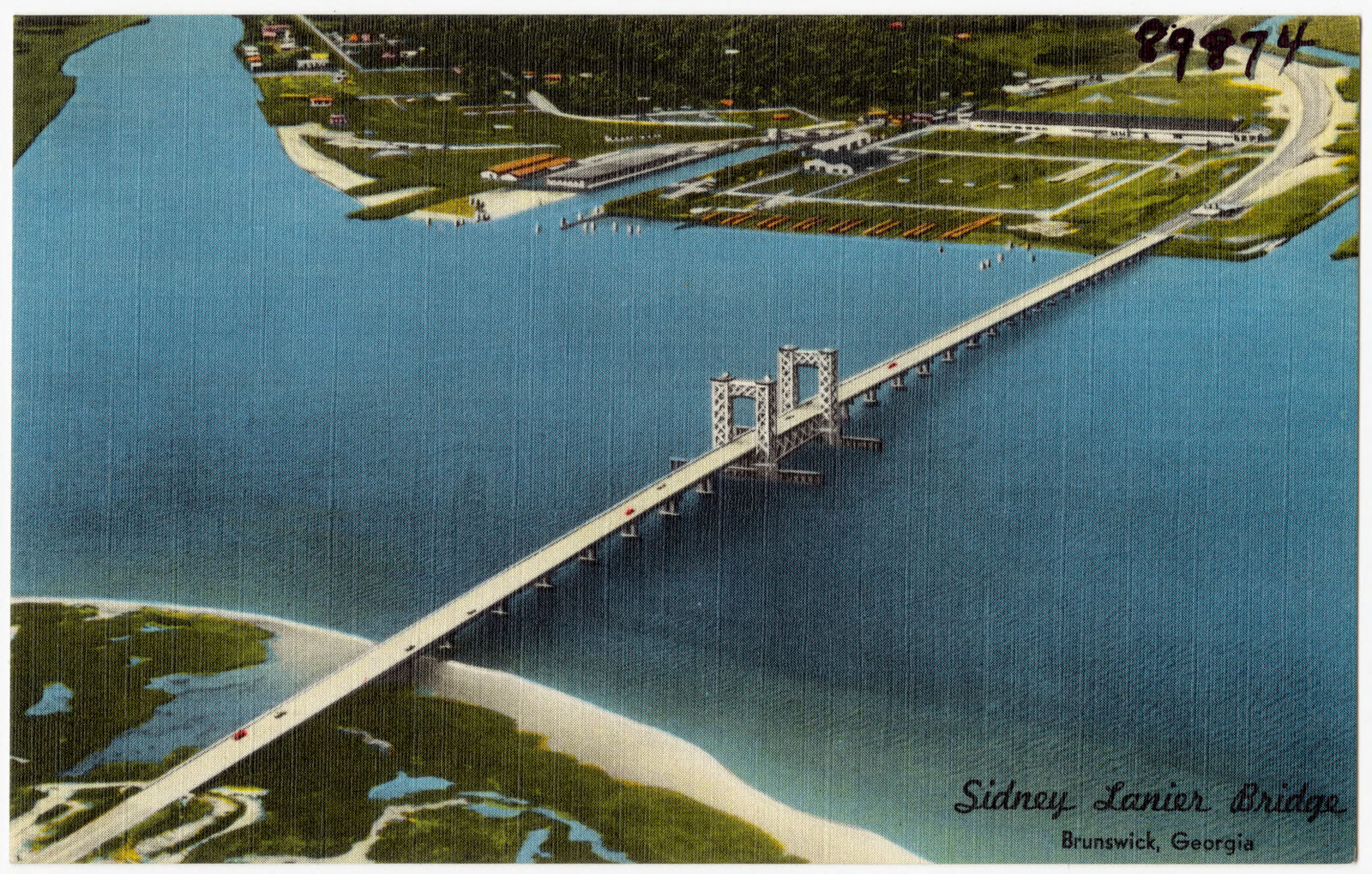
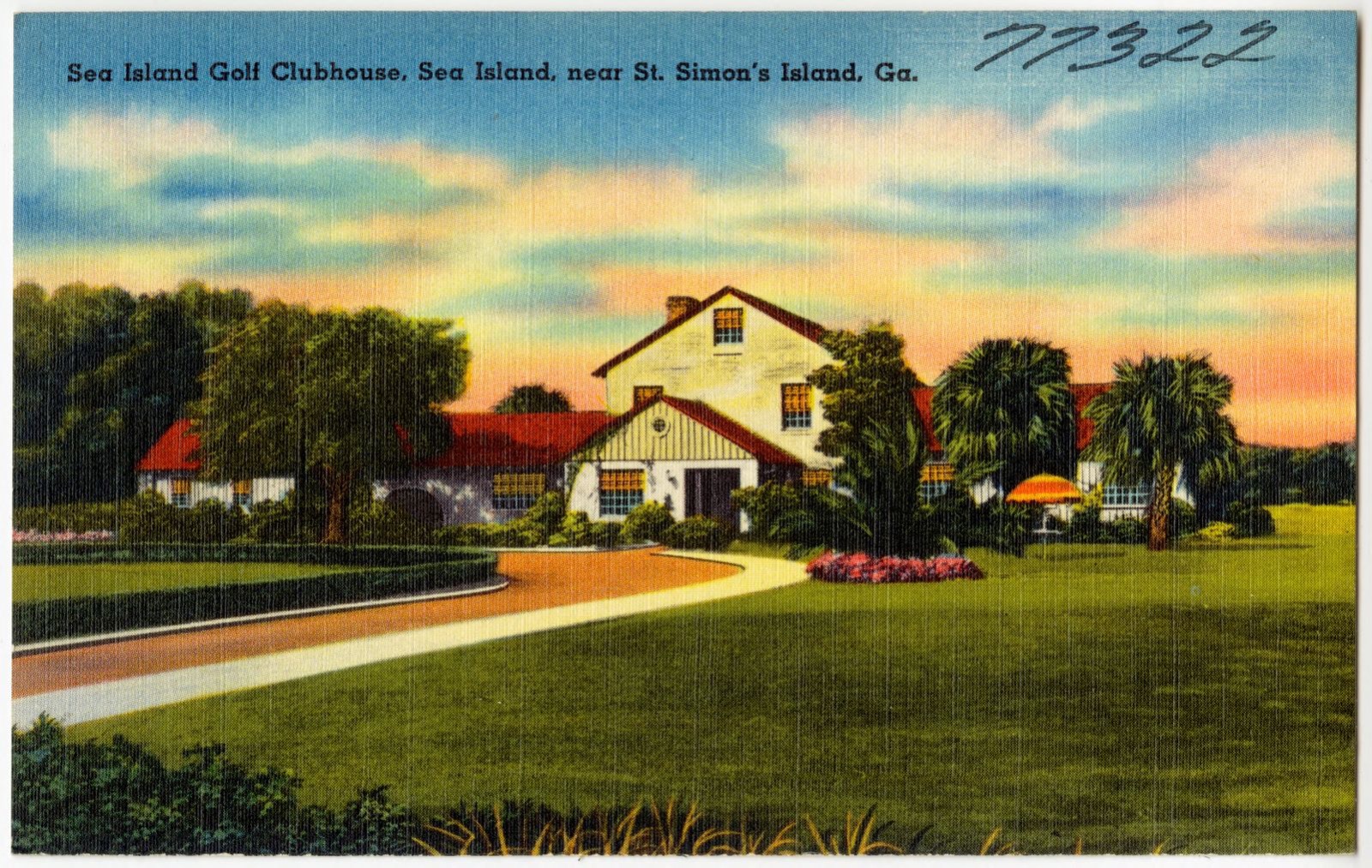
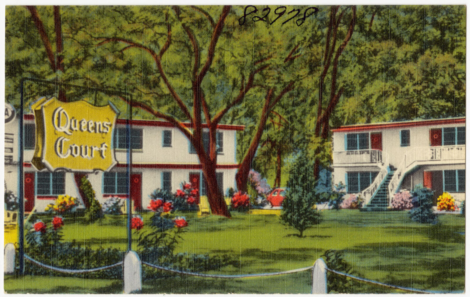
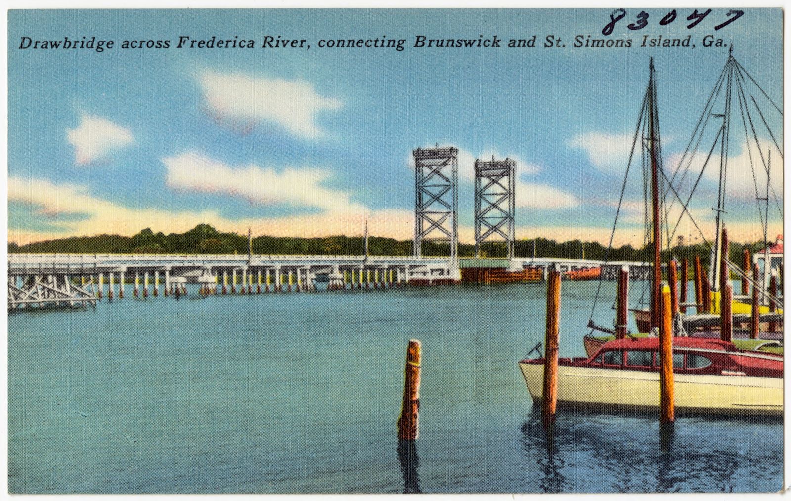
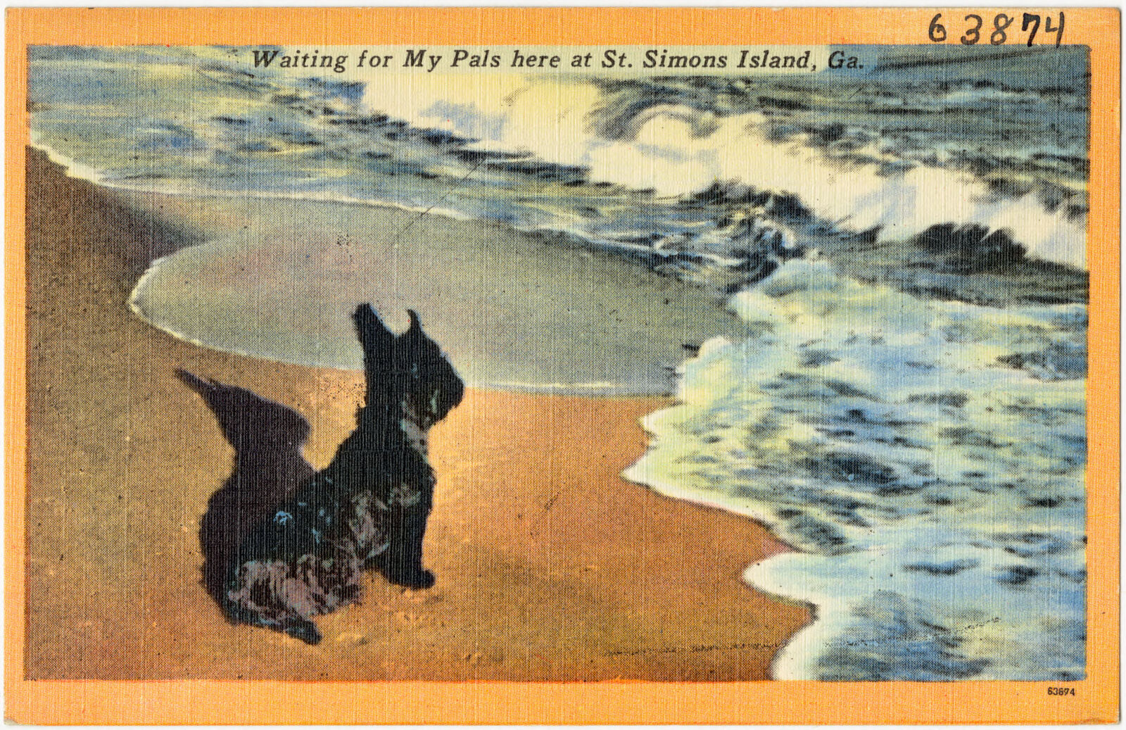
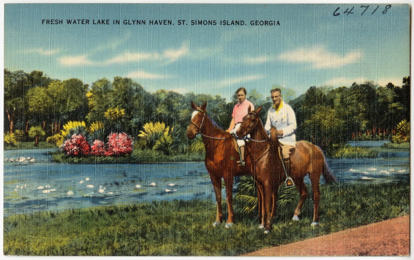
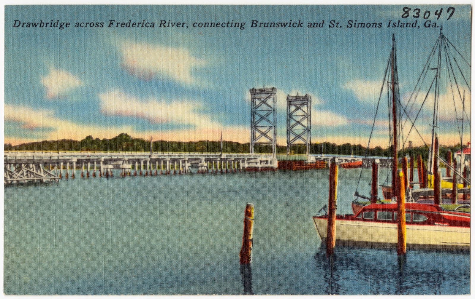
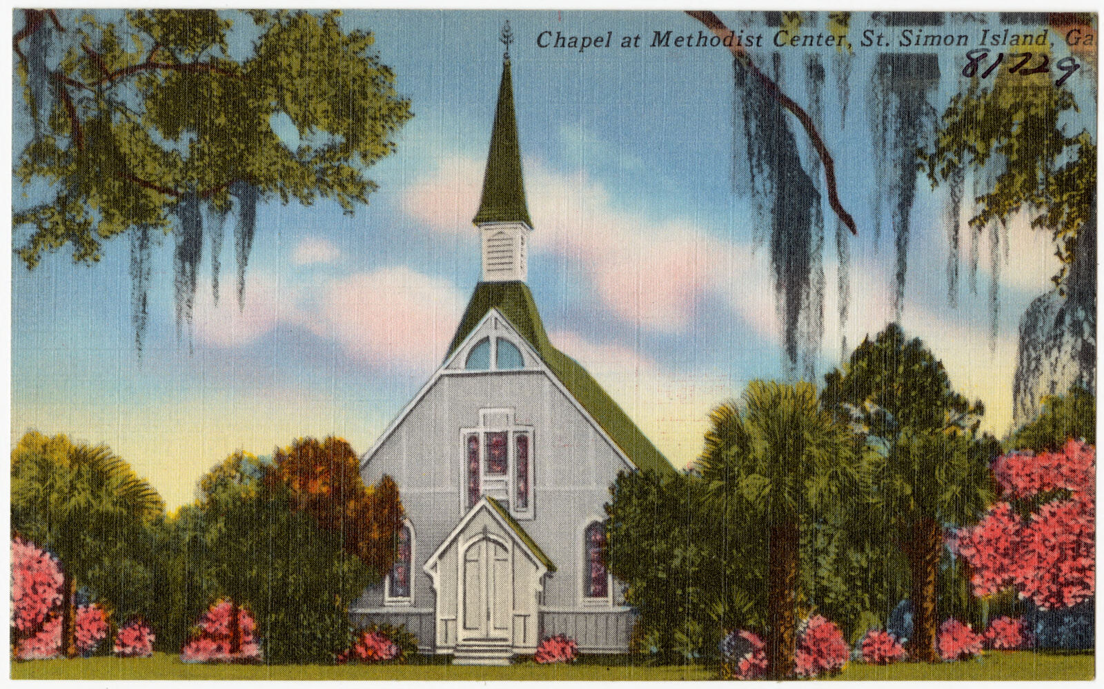
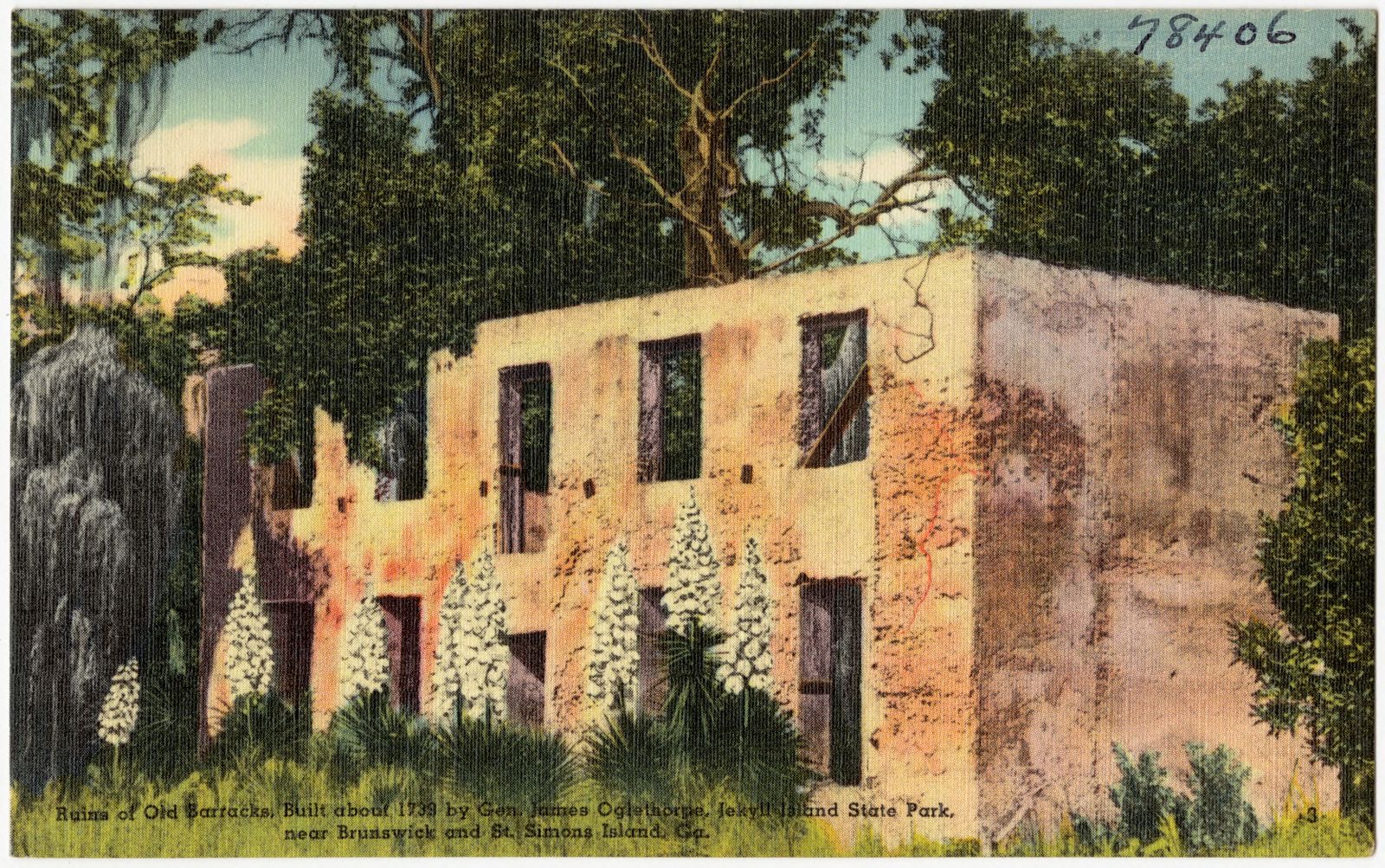
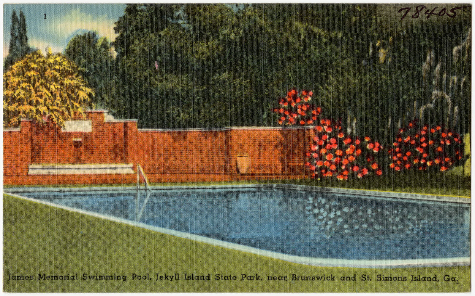
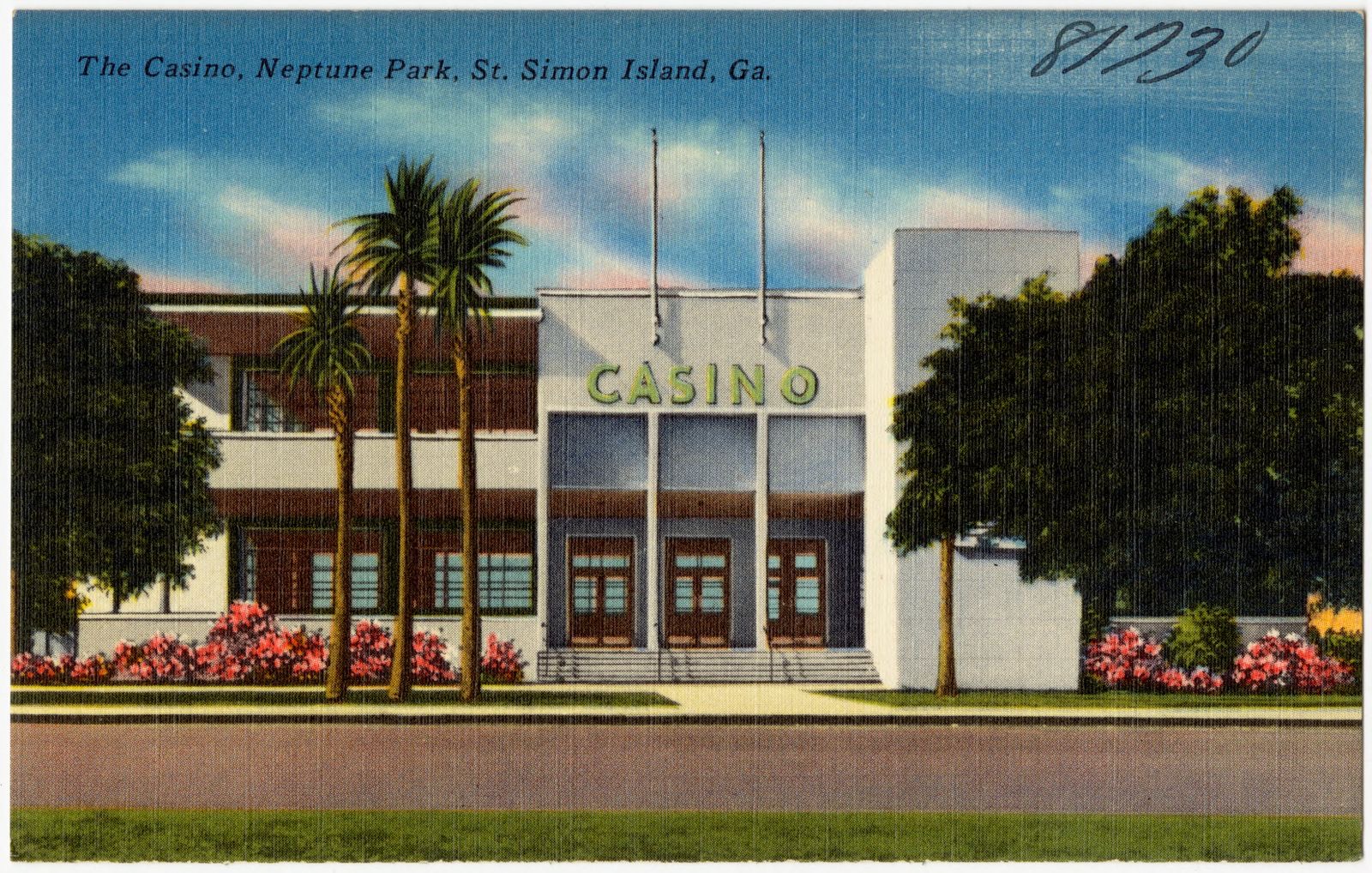
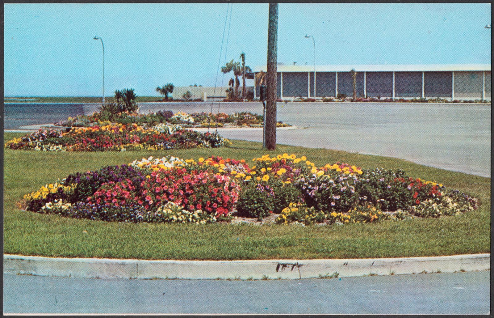
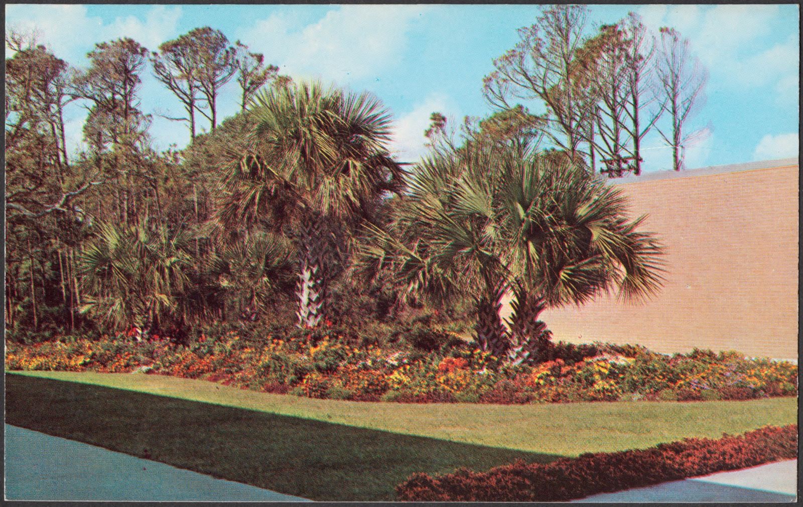
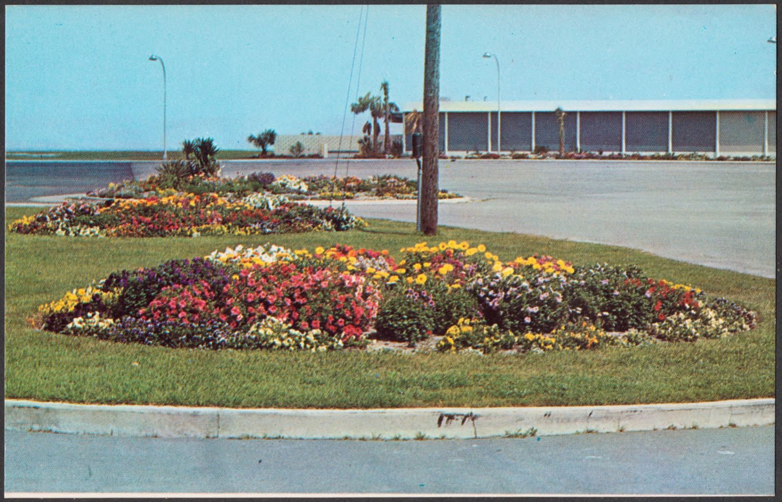
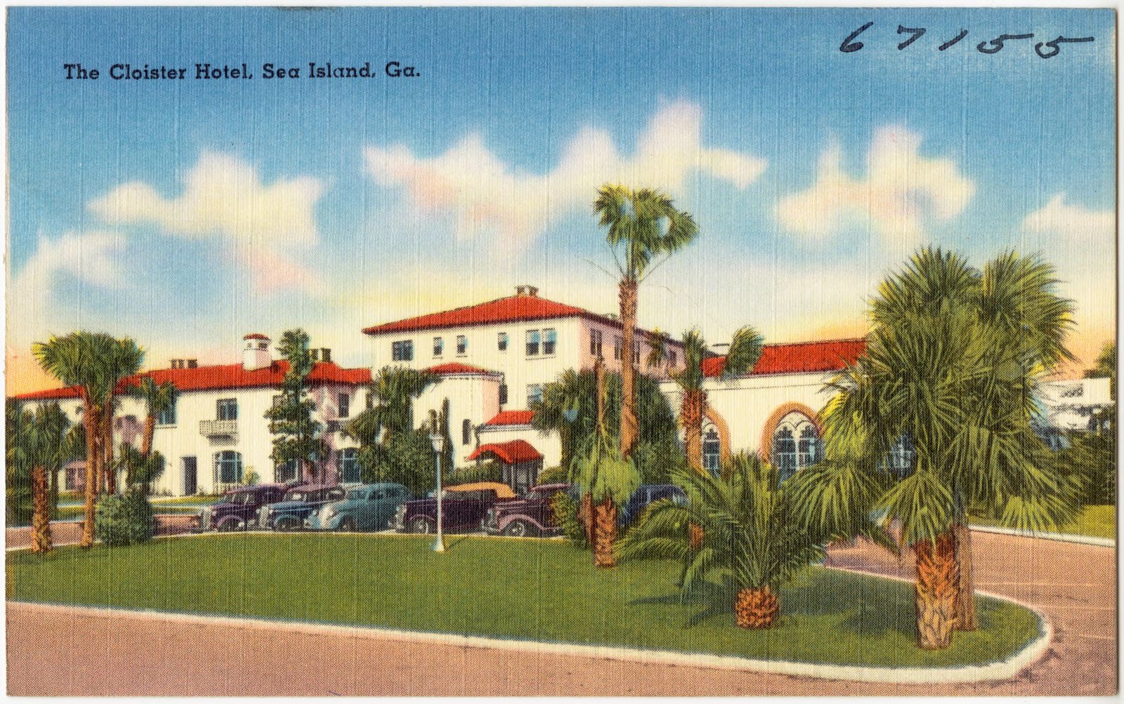
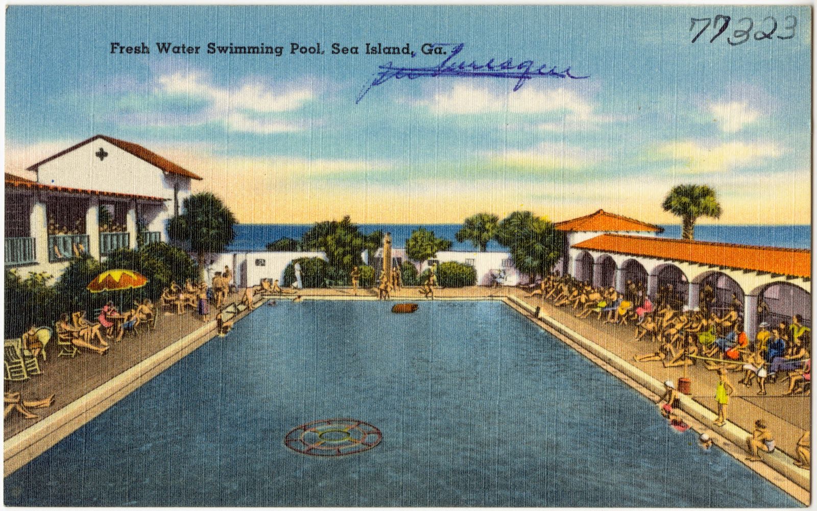
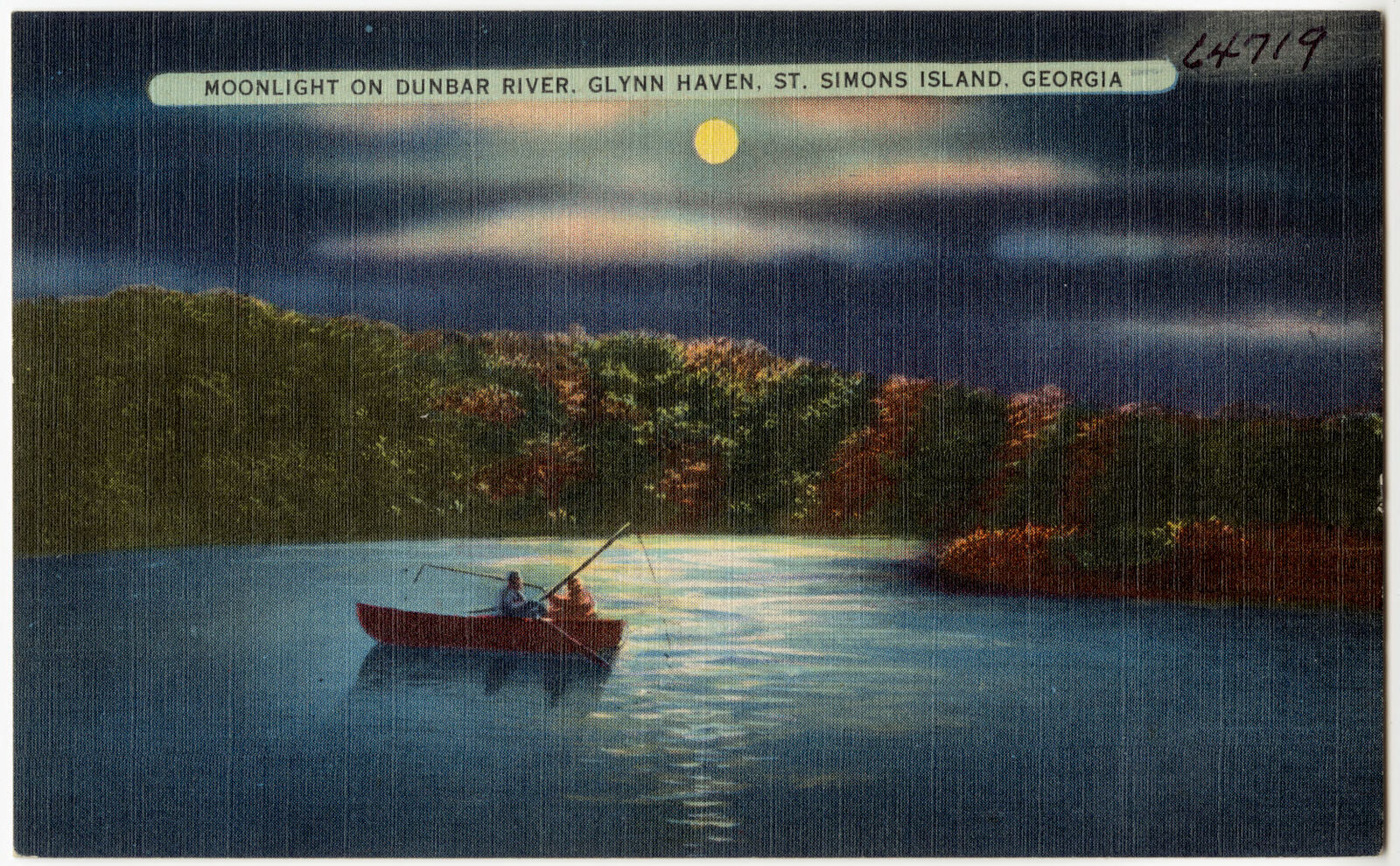
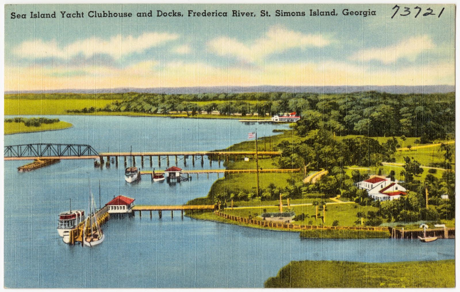
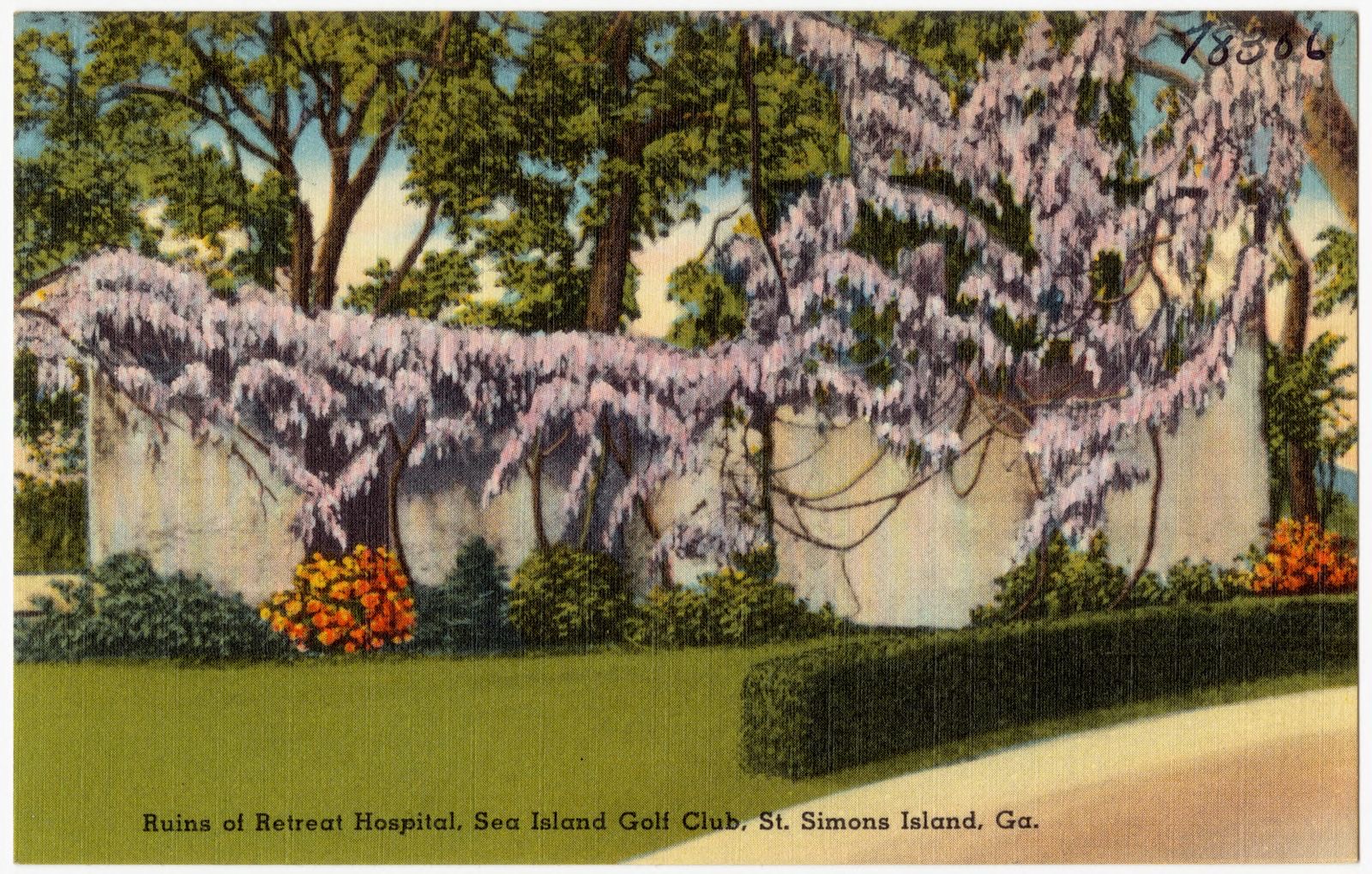
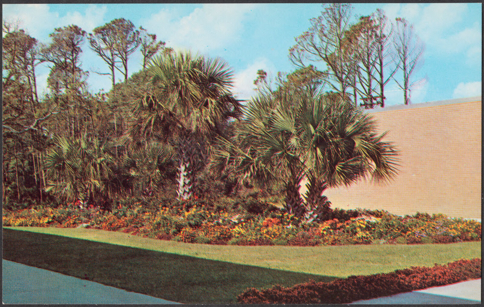
Selected from the Digital Public Library of America's 57 image records catalogued for this county. Every one shown here carries a public-domain status or a licence that permits reuse on a site that carries advertising; non-commercial, share-alike and restricted images are excluded. The selection is spread across the county's towns (at most eight per town), so no single institution's bulk upload crowds out the rest. Each opens the holding library's record, and the complete set at the Digital Public Library of America is one click away.

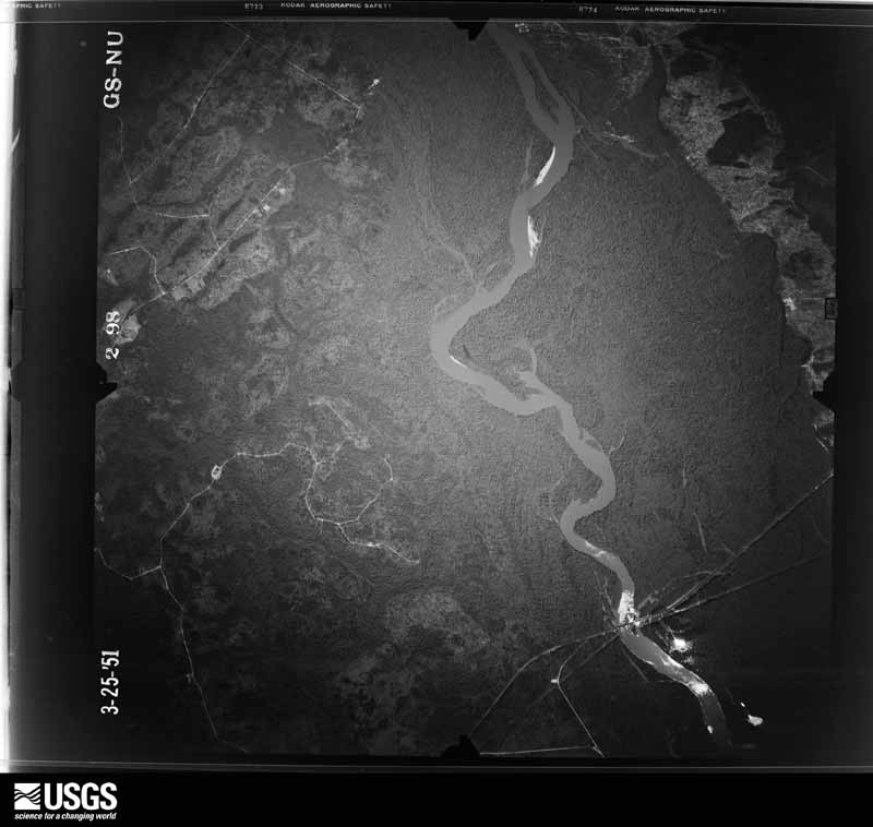
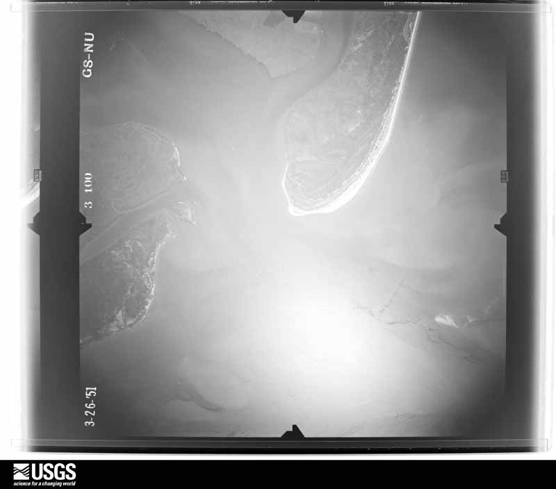
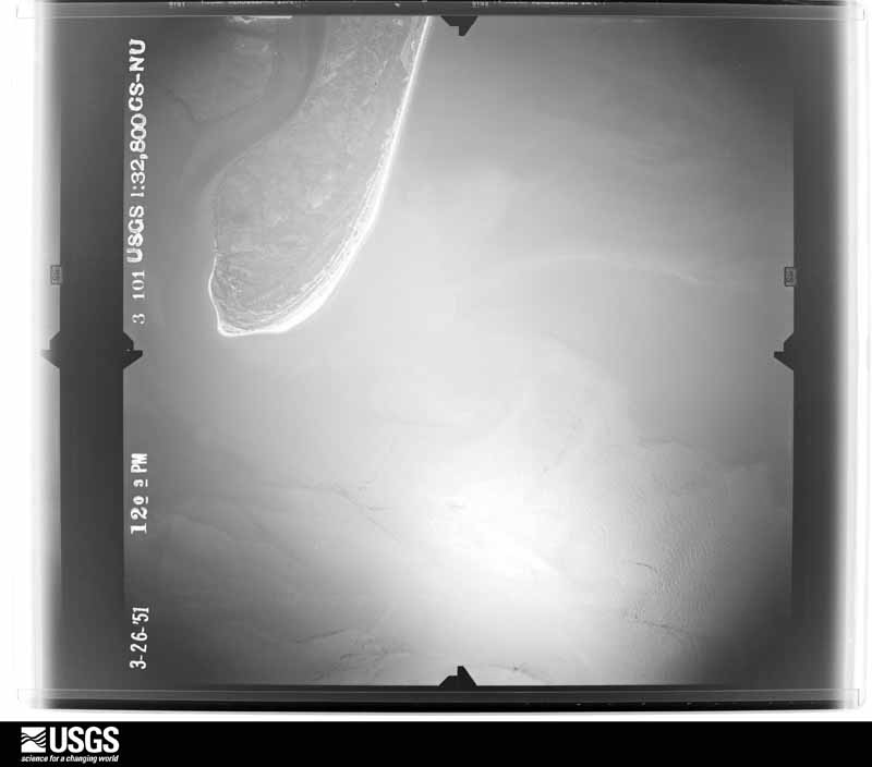
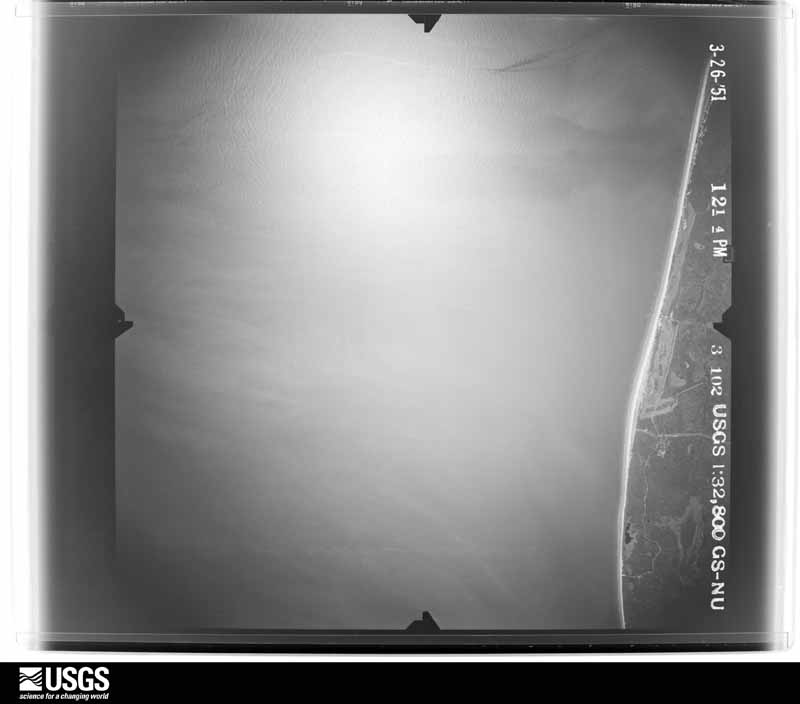
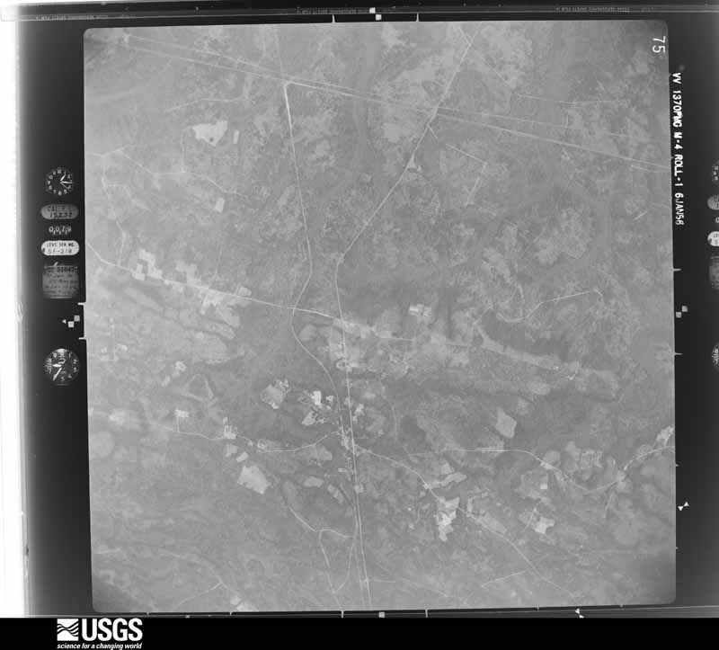
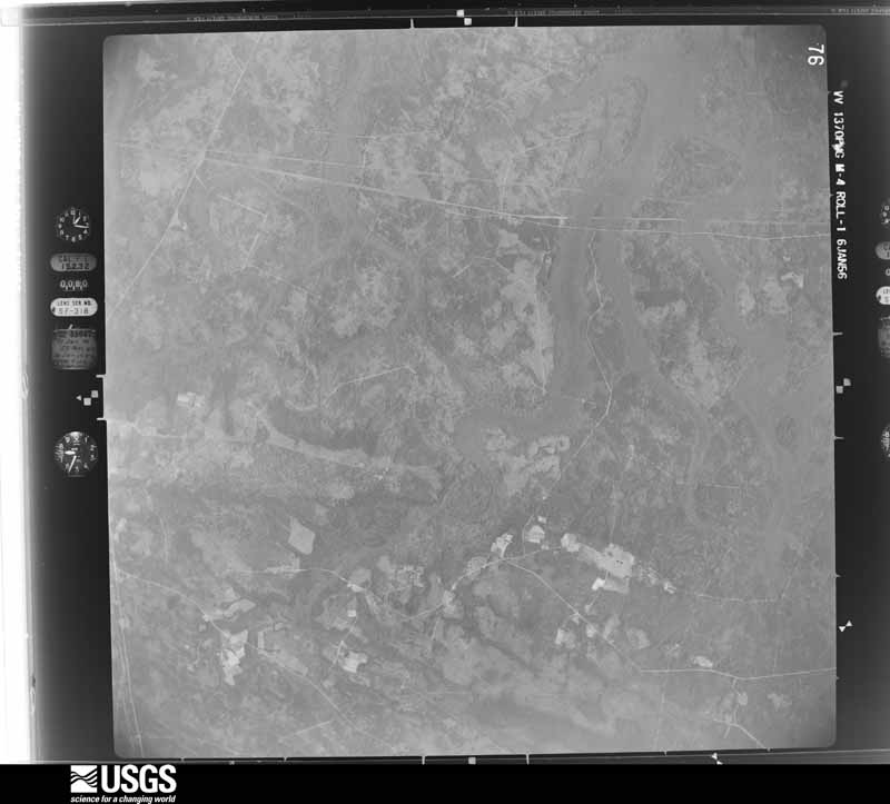
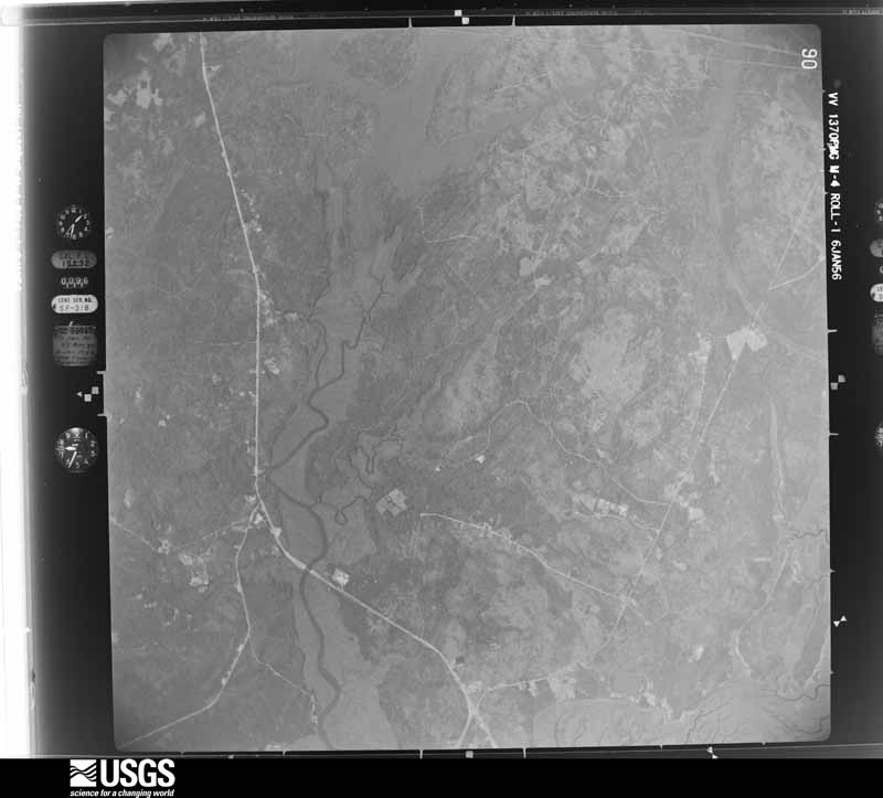
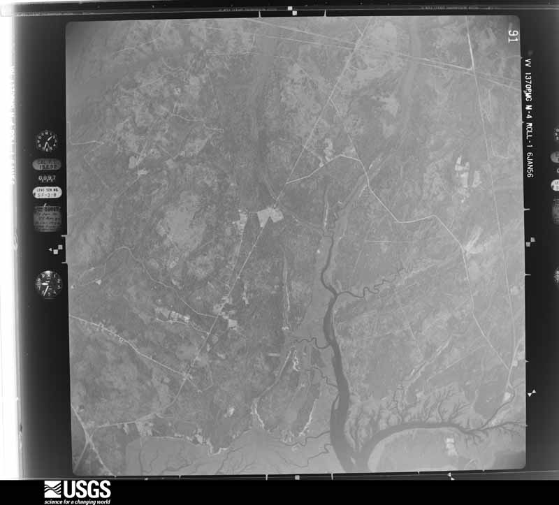
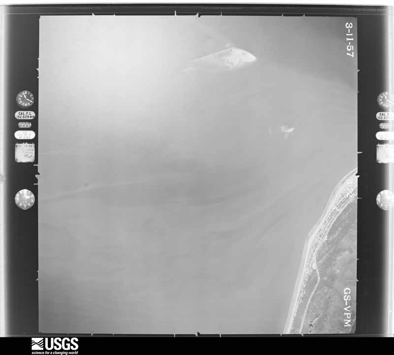
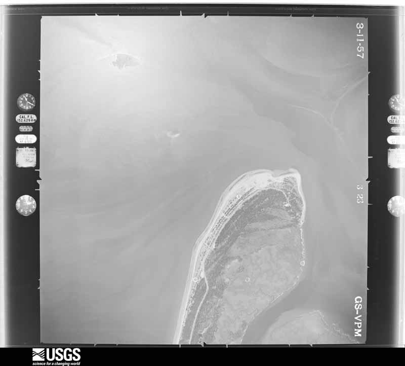
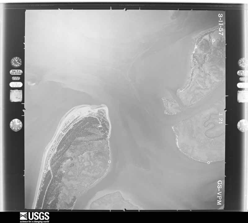
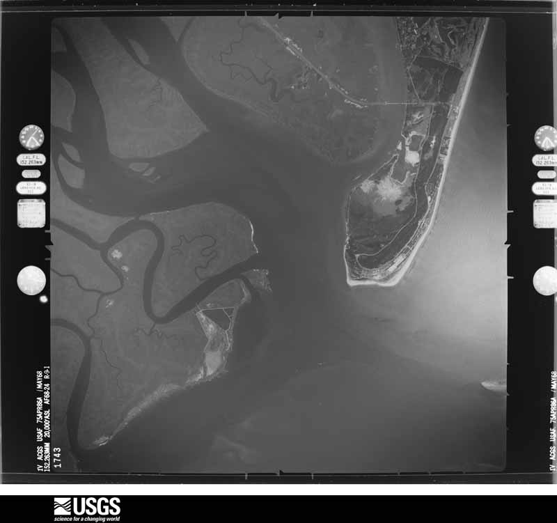
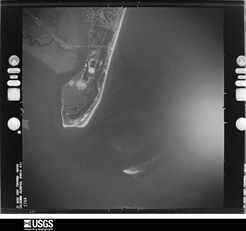
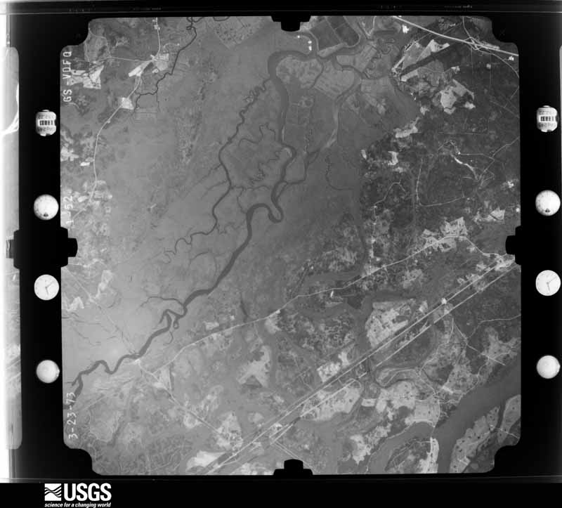
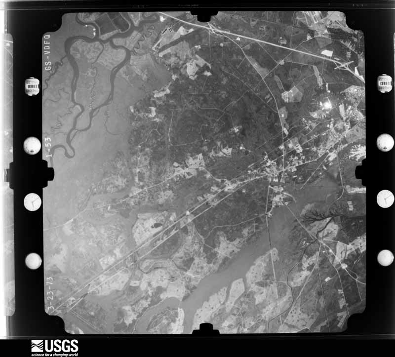
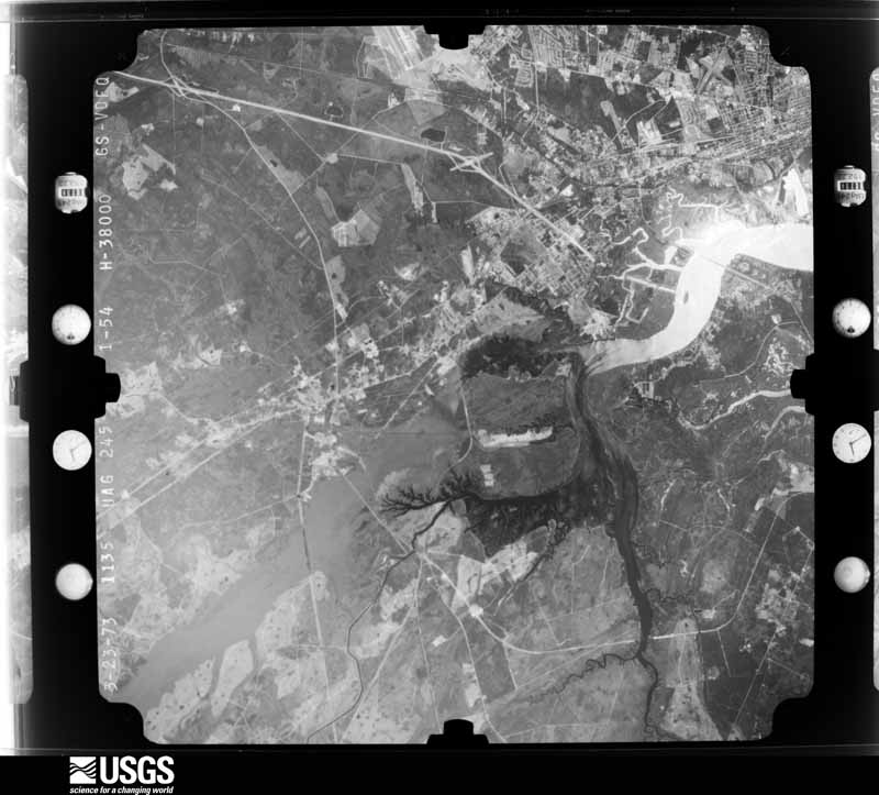
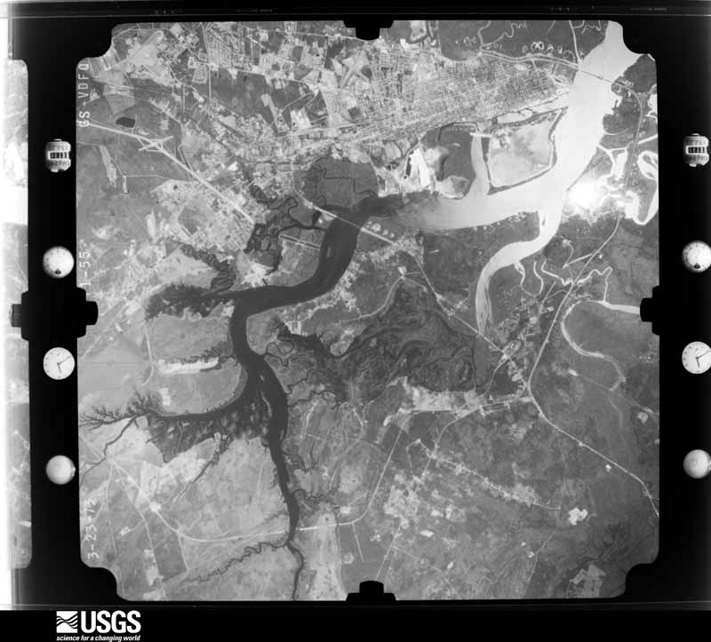
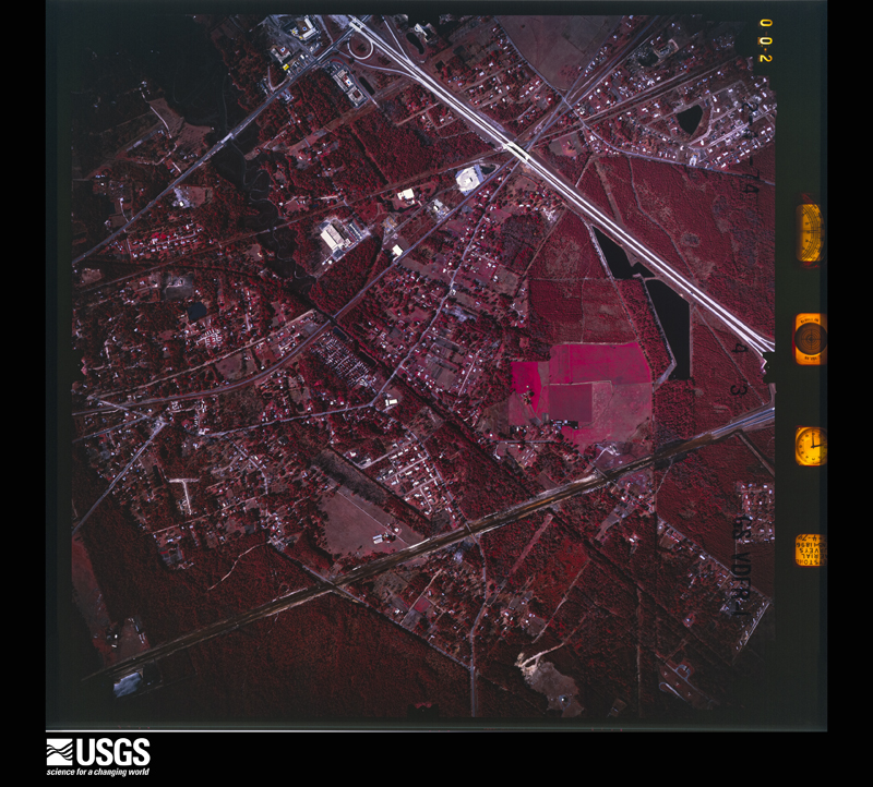
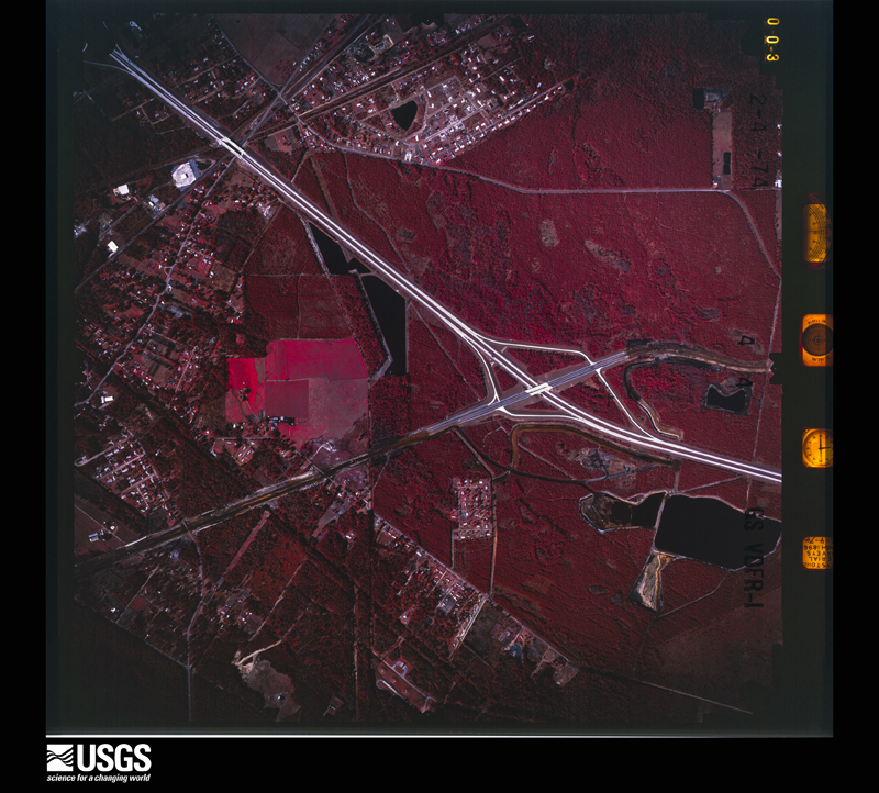
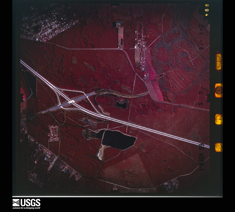
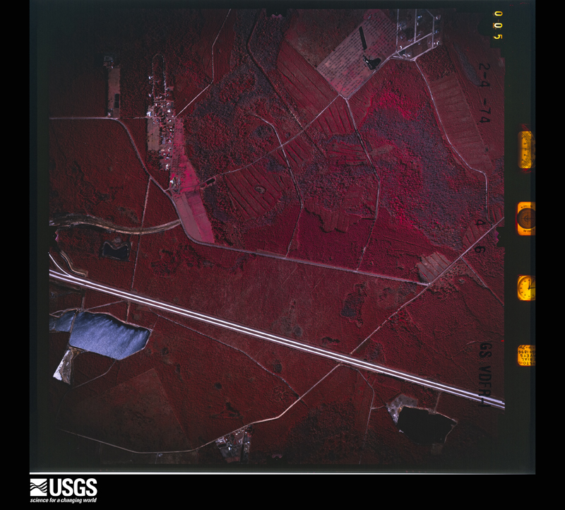
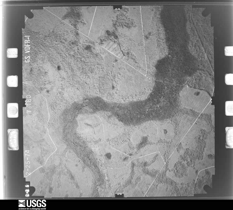
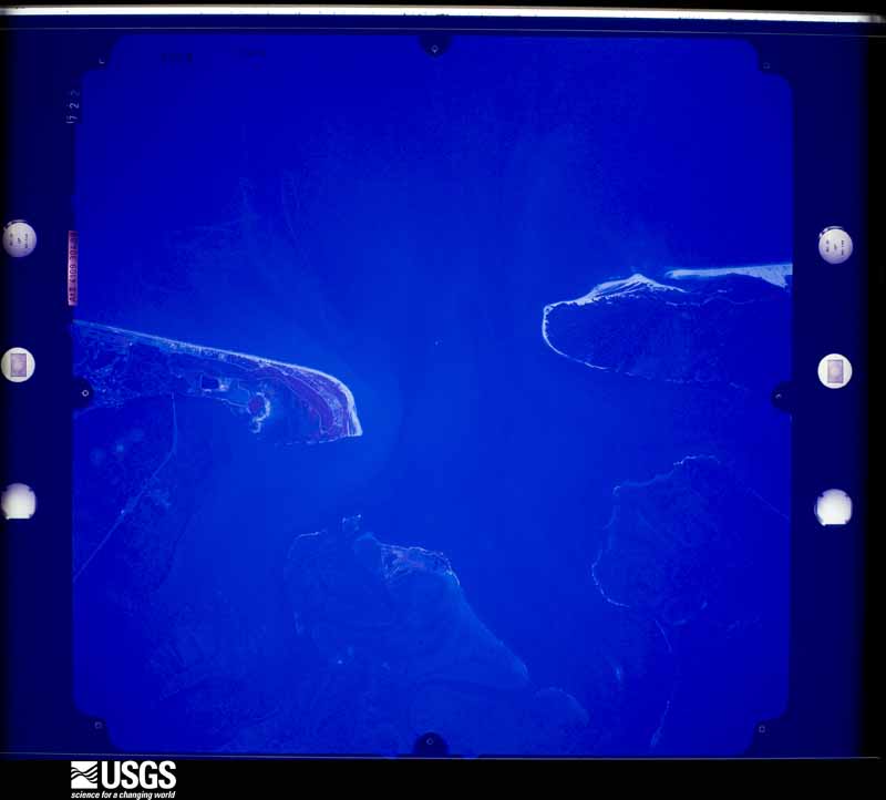
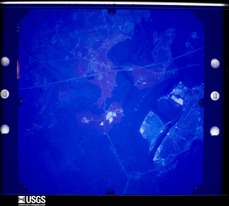
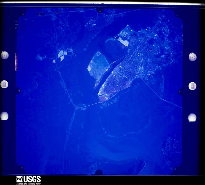
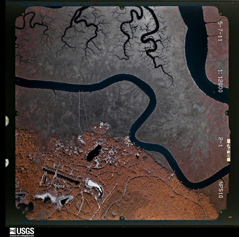
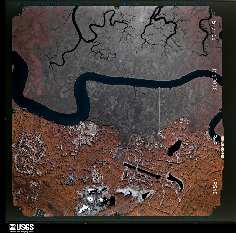
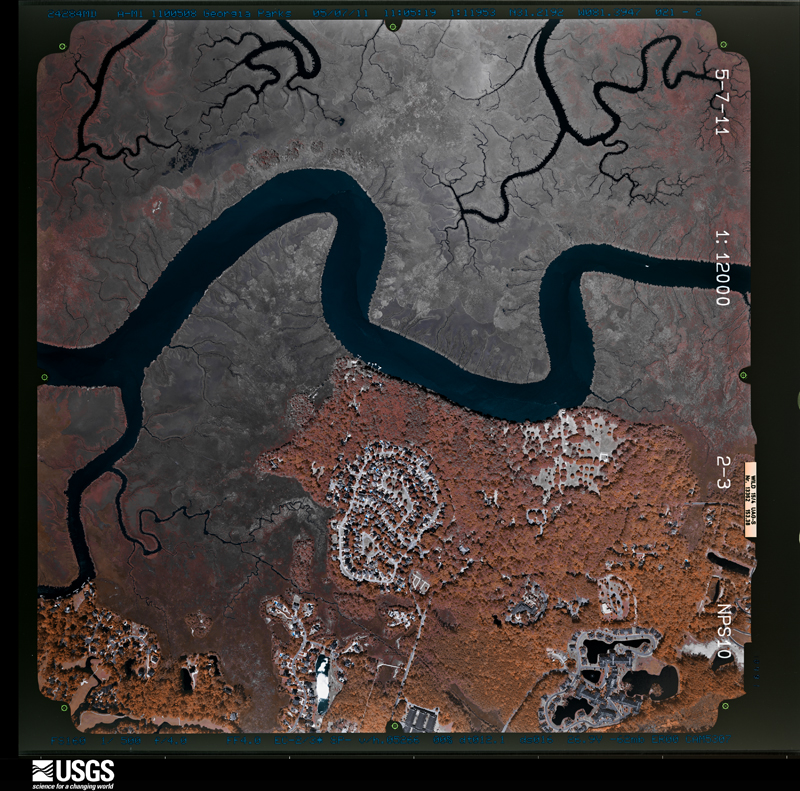
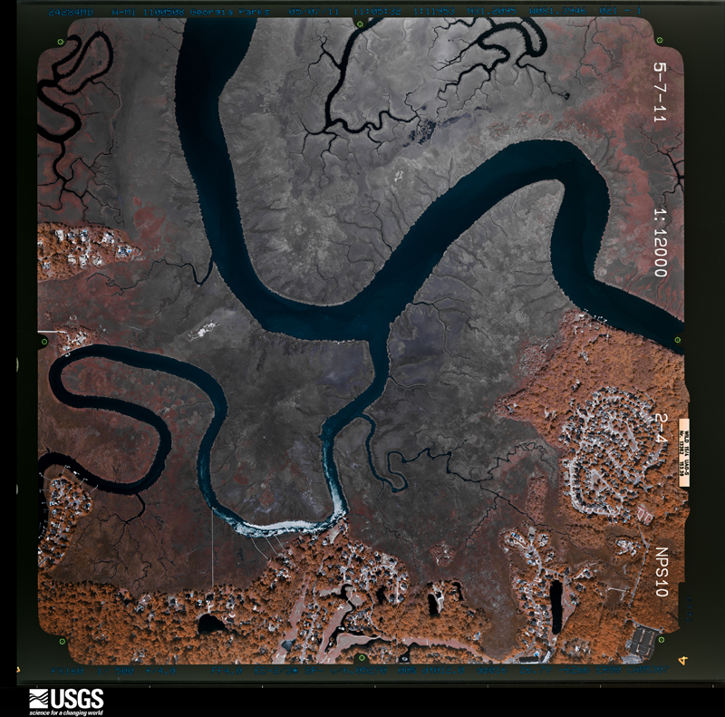
Flown by the U.S. Geological Survey between 1937 and 1989, the Aerial Photo Single Frames collection is the definitive mid-century view of the land: fields, roads and rivers as the camera saw them. The Survey holds 1,515 frames inside the rectangle that bounds this county; the 44 frames below were taken over the county itself, chosen across the decades of flights (at most four a year from that rectangle), so one flight cannot crowd out the rest. The full set is free to browse and download at EarthExplorer under the dataset Aerial Photo Single Frames.
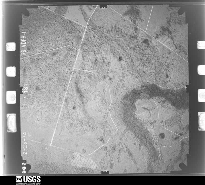
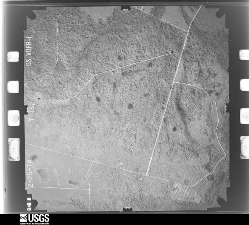
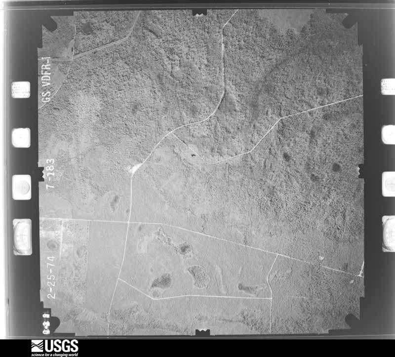
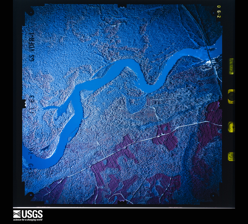
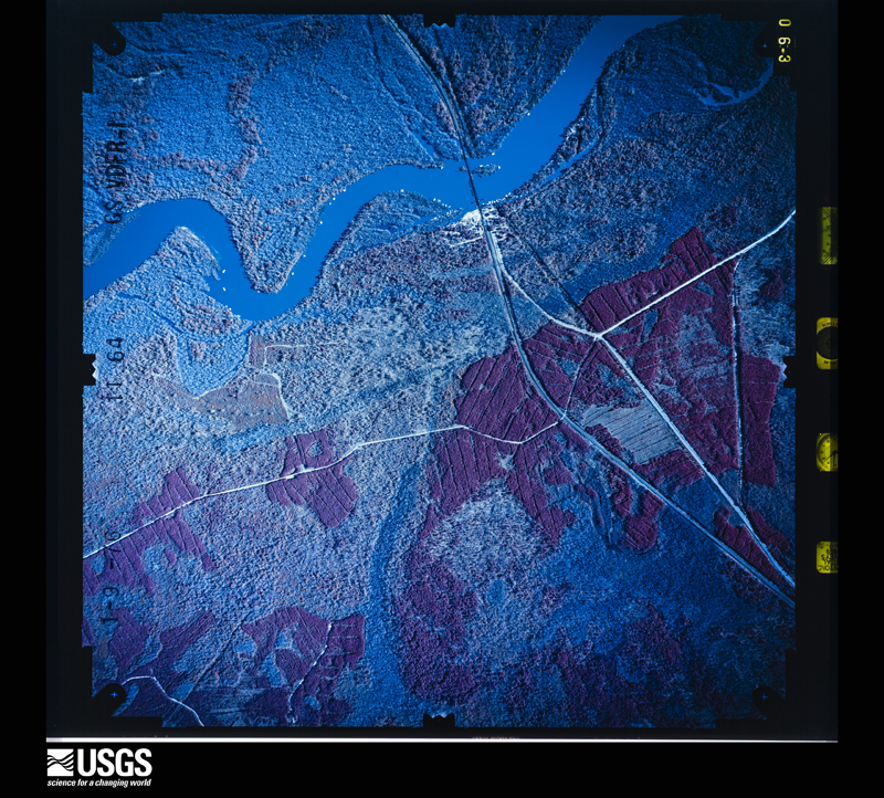
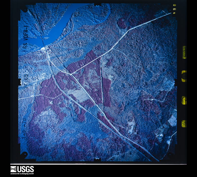
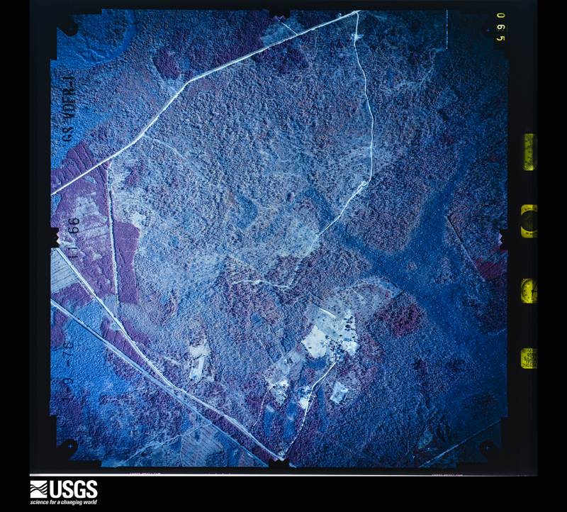
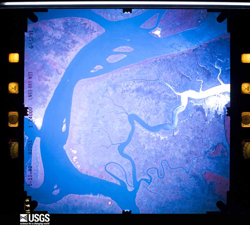
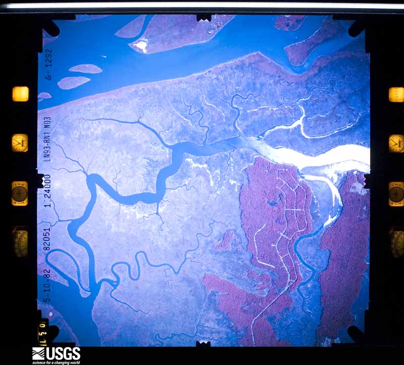
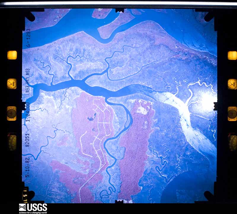
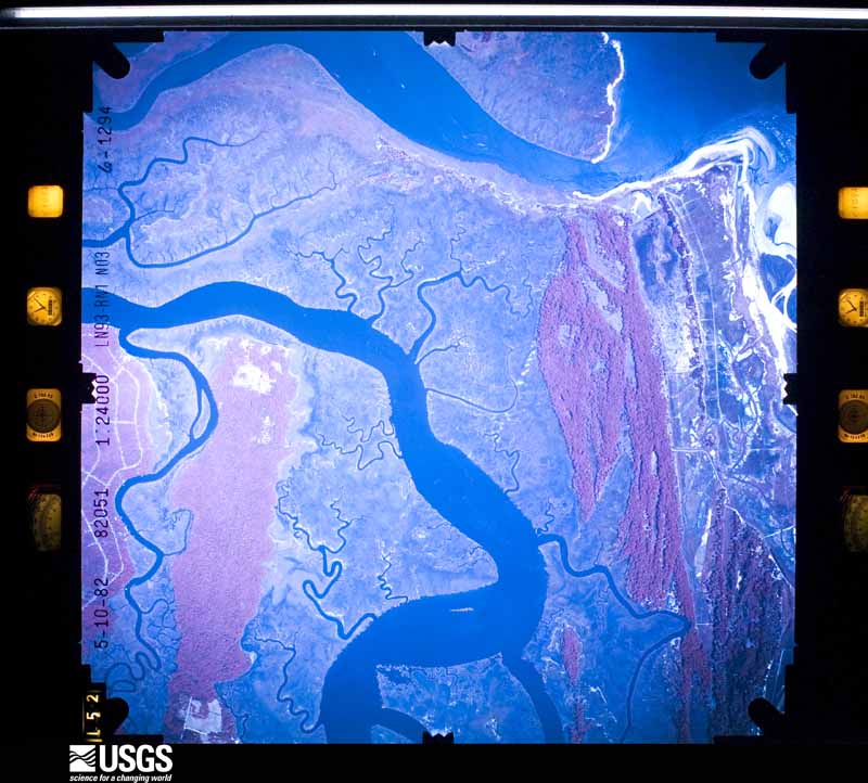
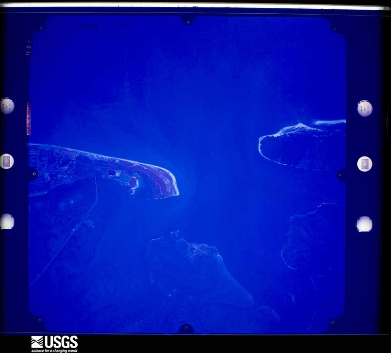
The thermometers that kept this county's weather, as the federal records hold them. The extremes below are measured values from those records, not estimates.
Who lived here in 1950, one enumeration district at a time, as the Census Bureau described each district. Each row opens its official National Archives result, with Population Schedules and ED Maps available there.
Every wildfire the federal occurrence database records inside this county: 955 of them, burning about 4,093 acres. 135 started naturally and 226 were recorded as arson. Each settlement page carries the fires within five miles of it.
| Reported cause | Fires |
|---|---|
| Debris and open burning | 311 |
| Arson/incendiarism | 226 |
| Natural | 135 |
| Railroad operations and maintenance | 72 |
| Equipment and vehicle use | 66 |
| Misuse of fire by a minor | 65 |
| Missing data/not specified/undetermined | 54 |
| Recreation and ceremony | 16 |
| Smoking | 10 |
The five largest, by the area the report gives. Two of them were set deliberately.
| Date | Cause | Size | Reported by | Name on the report |
|---|---|---|---|---|
| 5 February 2000 | Misuse of fire by a minor | 176 acres | Georgia Forestry Commission | FY2000-GLYNN-040 |
| 30 January 2011 | Debris and open burning | 140 acres | Georgia Forestry Commission | FY2011-GLYNN-014 |
| 12 March 1997 | Arson/incendiarism | 118 acres | Georgia Forestry Commission | not named |
| 11 June 2018 | Natural | 96 acres | Georgia Forestry Commission | FY2018GLYNN010 |
| 31 January 2009 | Debris and open burning | 86 acres | Georgia Forestry Commission | not named |
| 2 August 1999 | Missing data/not specified/undetermined | 74 acres | Georgia Forestry Commission | not named |
| 28 February 1992 | Arson/incendiarism | 66 acres | Georgia Forestry Commission | not named |
| 6 July 2000 | Natural | 62 acres | Georgia Forestry Commission | FY2001-GLYNN-002 |
Every settlement page carries the fires within five miles of it - see the settlement index below.
The NOAA Storm Events Database holds 327 reports for this county, causing no deaths, 5 injuries and about $2,073,550 in recorded property damage. Each settlement page carries the reports that name it.
| Kind of event | Reports |
|---|---|
| Thunderstorm Wind | 172 |
| Hail | 54 |
| Heavy Rain | 36 |
| Tornado | 25 |
| Funnel Cloud | 16 |
| Flood | 12 |
| Lightning | 7 |
| Flash Flood | 4 |
| Waterspout | 1 |
The most serious of them, by death, then injury, then recorded damage. The accounts are quoted exactly as the forecast office filed them.
| When | Event | Place named | Harm | What the report says |
|---|---|---|---|---|
| August 2010 | Heavy Rain | Brunswick | 4 hurt, $30,000 | The combination of heavy rainfall, water pooling on the roof and structural failure caused the roof of the Family Dollar Store on 4420 Altama Avenue in the Brunswick area to collapse. One person was hospitalized due to injuries and 3 others suffered minor injuries. Radar indicated rainfall rates near 2 inches per hour, and the time of the event was estimated. The cost of damage was estimated at $20K and the cost of supply damage was estimated at $10K. |
| May 1957 | Tornado (F1) | not stated | 1 hurt, $25,000 | no account filed |
| February 1998 | Tornado (F0) | St Simons Is | $500,000 | 15-20 Homes were damaged. Large trees and power lines were blown down. |
| March 1993 | Thunderstorm Wind | Brunswick | $500,000 | no account filed |
| September 1984 | Tornado (F1) | not stated | $250,000 | no account filed |
| July 1966 | Tornado (F1) | not stated | $250,000 | no account filed |
| July 1998 | Thunderstorm Wind | Arco | $100,000 | Downbust uprooted large trees and damaged 10 homes. |
| October 2005 | Tornado (F0) | (Bqk)Glynco Arpt Bru | $50,000 | Spawned by Tropical Storm Tammy. Tornado touched down near Spur 25 striking a hotel and causing minor roof damage (est. $10K) and snapping several pines. Tornado moved NNE over Gatch Lane where it ripped up power lines and unroofed a mobile home (est $40K) and lifted. Tornado had a second brief touchdown along State Road 99 near New Hope Plantation where it snapped pine trees. |
| April 1999 | Thunderstorm Wind | Brunswick | $50,000 | Port crane was blown into another. Boom was bent. |
| November 1995 | Tornado (F1) | Brunswick | $40,000 | Ripped the roof and damaged Charter-By-The-Sea Hospital and lifted the roof off a convenience store in Brunswick. Structural damage was also reported to a marina. |
| April 1975 | Tornado (F1) | not stated | $25,000 | no account filed |
| May 1963 | Tornado (F1) | not stated | $25,000 | no account filed |
| June 1957 | Tornado (F1) | not stated | $25,000 | no account filed |
| August 2000 | Thunderstorm Wind | Brunswick | $20,000 | Large trees and power lines were blown down. One vehicle damaged by falling tree. |
| June 1995 | Tornado (F1) | S Brunswick | $20,000 | Glynn County Sheriff's Office confirmed a tornado touched down at the intersection of Gloucester Street and U.S. Highway 17. Several trees were knocked down, but there was no extensive damage. |
| October 1996 | Flash Flood | Brunswick | $12,000 | no account filed |
| October 2002 | Thunderstorm Wind | Thalmann | $10,000 | Large trees down on power lines. Power lines down. |
| June 1995 | Thunderstorm Wind | Brunswick | $10,000 | Thunderstorm winds knocked several large trees down in the Urbana Park area of Brunswick. |
| August 2001 | Lightning | Brunswick | $8,000 | Home damaged. |
| July 2001 | Lightning | Brunswick | $7,000 | Damaged Glynn County Airport equipment |
| August 1999 | Thunderstorm Wind | Brunswick | $5,500 | Large trees and power lines were blown down. Two buildings with roof damage. |
| July 1995 | Thunderstorm Wind | St. Simons Is | $5,500 | Thunderstorm winds blew large tree down through the roof of a house in the St. Claire subdivision. Tree limbs were also reported down on power lines in the Kelvin grove subdivision. |
| December 2002 | Thunderstorm Wind | Brunswick | $5,000 | Numerous trees down over roadway. 1 mile west of Interstate-95. |
| June 2001 | Thunderstorm Wind | Brunswick | $5,000 | An uprooted tree damaged a home on Lee Street. |
| July 1998 | Flash Flood | Brunswick | $5,000 | Flooding closed portions of Beach Street and Sea Gate Subdivision. |
| March 1996 | Thunderstorm Wind | Brunswick | $5,000 | no account filed |
| March 2001 | Thunderstorm Wind | Brunswick | $3,500 | Large trees and power lines were blown down. |
| July 2001 | Thunderstorm Wind | Thalmann | $3,500 | Large trees and power lines were blown down. |
| June 2000 | Thunderstorm Wind | Sterling | $3,500 | Large trees and power lines were blown down. |
| June 1998 | Thunderstorm Wind | Brunswick | $3,500 | Large trees and power lines were blown down. |
| June 2008 | Lightning | Bladen | $3,000 | The Brunswick News documented a lightning strike that killed 3 cows in the Brookman Community on a farm off of U.S. Highway 82. The cows were congregated around a tree, and the tree was struck by lightning. The lightning current progressed to the cows. Cost of damage was estimated at $1,000/cow. |
| June 2001 | Lightning | Brunswick | $3,000 | Home damaged |
| June 2000 | Thunderstorm Wind | Brunswick | $3,000 | Large trees and power lines were blown down. |
| June 1998 | Thunderstorm Wind | St Simons Is | $3,000 | Large trees were blown down. |
| June 2001 | Thunderstorm Wind | Sterling | $2,500 | Large trees and power lines were blown down. |
| June 2001 | Thunderstorm Wind | Thalmann | $2,500 | Large trees and power lines were blown down. |
| August 2001 | Thunderstorm Wind | Jekyll Is | $2,500 | Large trees and power lines were blown down. |
| May 2000 | Thunderstorm Wind | Brunswick | $2,500 | Large trees were blown down. |
| August 2000 | Thunderstorm Wind | Brunswick | $2,500 | Large trees and power lines were blown down. |
| September 2000 | Thunderstorm Wind | Brunswick | $2,500 | Large trees and power lines were blown down. |
| July 1999 | Thunderstorm Wind | Sterling | $2,500 | Large trees and power lines were blown down. |
| September 1998 | Thunderstorm Wind | Brunswick | $2,500 | Large trees and power lines were blown down. |
| June 1998 | Thunderstorm Wind | Brunswick | $2,500 | Large trees and power lines were blown down. |
| June 1998 | Thunderstorm Wind | Brunswick | $2,500 | Large tree and power lines were blown down. |
| June 1975 | Tornado | not stated | $2,500 | no account filed |
| March 1965 | Tornado (F0) | not stated | $2,500 | no account filed |
| February 1963 | Tornado (F2) | not stated | $2,500 | no account filed |
| July 2014 | Thunderstorm Wind | Glynco Nas | $2,000 | A spotter reported trees and power lines blown down near Touchstone Drive just west of Interstate 95. The cost of damage was estimated. |
| July 2010 | Thunderstorm Wind | (Bqk)Glynco Arpt Bru | $2,000 | A tree was blown down at a residence which damaged the car and caused a power outage at the home. The time of the event was based on radar. The cost of damage was estimated. |
| July 2010 | Lightning | Jekyll Is | $2,000 | The Waycross Journal/Herald reported a lightning fire on the Kings Bay Submarine Base on July 12th. The time of the event was estimated as well as the cost of property damage. The fire was contained by 2 a.m. Tuesday morning. |
| February 2003 | Thunderstorm Wind | Sterling | $2,000 | Trees damaged with large limbs torn off and in roadway. |
| July 2002 | Thunderstorm Wind | St Simons Is | $2,000 | Several large trees down across power lines. |
| January 1999 | Thunderstorm Wind | Everett | $2,000 | Large trees and power lines were blown down. |
| May 2001 | Thunderstorm Wind | Brunswick | $1,500 | Large trees and power lines were blown down. |
| October 1997 | Thunderstorm Wind | Brunswick | $1,500 | Large trees and power lines were blown down. |
| October 1996 | Thunderstorm Wind | Brunswick | $1,500 | no account filed |
| June 2022 | Thunderstorm Wind | Brunswick | $1,000 | A tree was reported down on powerlines on 4th street in Brunswick. The ASOS KSSI in St. Simons Island recorded a gust of 40 mph at 2:50 PM EST. |
| September 2020 | Flood | Glynco Nas | $1,000 | At 1710, Glynn County EM reported road closures due to flood water near Brunswick Golden Isles Airport including Canal Road and Georgia Spur 25. Several rain gauges near this area measured near 7 inches of rainfall thus far since midnight. Around 1748, the public submitted social media images of up to 6 inches of flood water covering yards and neighborhood streets near the Intersection of Gene Court and Jill Trace. The cost of flood damage was unknown and is likely greatly under-estimated for inclusion of this event in Storm Data. |
| June 2016 | Thunderstorm Wind | Pyles Marsh | $1,000 | A tree 2-3 ft in diamater was uprooted at the intersection of Nightingale Lane and Thornhall Drive which blocked the road. The cost of damage was estimated for the event to be included nin Storm Data. |
| August 2009 | Heavy Rain | Brunswick Mckinnon F | $1,000 | The McKinnon St. Simons Island Airport set a new daily rainfall amount of 2.45 inches. Heavy rainfall caused flooding of low lying areas in some portions of the county, including along Buck Swamp Road. A resident of Highland Park along U.S. 341 reported a large oak tree fell on and crushed the back window of her GMC Yukon because the grounds were saturated and soils weak. The cost of vehicle damage was estimated. Utility companies were working to clear debris from drainage ditches. |
The Survey's mineral resources record lists 5 workings inside this county. 2 still produce and 3 are closed or unrecorded. Each settlement page carries the workings within five miles of it.
| Commodity | Workings |
|---|---|
| Sand and Gravel, Construction | 2 |
| Titanium, Zirconium | 1 |
| Titanium | 1 |
| Gypsum-Anhydrite | 1 |
The least common of them first, because a county's hundredth gravel pit says nothing its first ten did not.
| Where | Site | Commodity | Status | Recorded |
|---|---|---|---|---|
| Brunswick Deposit | Titanium, Zirconium | Prospect | 1955 | |
| Bruswick Plant | Gypsum-Anhydrite | Past Producer | ||
| Jekyll Island Placer | Titanium | Occurrence | Beach Placer | |
| Alta Maha River Pit and Dredge | Sand and Gravel, Construction | Producer | ||
| German Village Sand Pit | Sand and Gravel, Construction | Producer |
Named settlements recorded in the Geographic Names Information System, each with the topographic sheets covering it. Villages, hamlets and abandoned places alike. Each is shown with the nearest named watercourse or landform and the survey quadrangle it falls on. The 1 place that was also surveyed for fire insurance comes first, with the number of atlases and photographs held for them.
Brunswick census division · 31520 · On Academy Creek · Brunswick East quadrangle
17 sheets, 1945 to 1993
Fire insurance: 9 atlases
Everett census division · 31525 · On Poley Branch · Cox quadrangle
16 sheets, 1918 to 1981
Thalmann census division · 31523 · On Little Buffalo Creek · Sterling quadrangle
17 sheets, 1918 to 1993
Brunswick census division · 31520 · On Yellow Bluff Creek · Brunswick West quadrangle
19 sheets, 1918 to 1993
Brunswick census division · 31525 · On Cedar Point Creek · Brunswick East quadrangle
17 sheets, 1945 to 1993
Brunswick census division · 31520 · On Dupree Creek · Brunswick East quadrangle
17 sheets, 1945 to 1993
Everett census division · 31525 · On Hog Crawl Creek · Brunswick East quadrangle
17 sheets, 1945 to 1993
Thalmann census division · 31523 · On College Creek · Bladen quadrangle
18 sheets, 1918 to 1993
No longer a settlement
Brunswick census division · 31525 · On Hog Crawl Creek · Brunswick East quadrangle
17 sheets, 1945 to 1993
St. Simons census division · 31522 · Near Hawkins Island · Brunswick East quadrangle
17 sheets, 1945 to 1993
Thalmann census division · 31523 · Near Red Oak Hammock · Thalmann quadrangle
16 sheets, 1918 to 1993
No longer a settlement
Thalmann census division · 31523 · On Blythe Island · Brunswick West quadrangle
19 sheets, 1918 to 1993
Everett census division · 31525 · On New Hope Creek · Darien quadrangle
15 sheets, 1921 to 1993
Thalmann census division · 31523 · On College Creek · Bladen quadrangle
18 sheets, 1918 to 1993
Brunswick census division · 31520 · Brunswick East quadrangle
17 sheets, 1945 to 1993
St. Simons census division · 31522 · Near Ledbetter Island · Brunswick East quadrangle
17 sheets, 1945 to 1993
Brunswick census division · 31523 · Near Crispen Island · Brunswick West quadrangle
19 sheets, 1918 to 1993
Thalmann census division · 31566 · Waynesville quadrangle
17 sheets, 1917 to 1993
No longer a settlement
Brunswick census division · 31520 · On Cedar Point Creek · Brunswick East quadrangle
17 sheets, 1945 to 1993
Brunswick census division · 31525 · On Hog Crawl Creek · Brunswick East quadrangle
17 sheets, 1945 to 1993
Brunswick census division · 31525 · On Hog Crawl Creek · Brunswick East quadrangle
17 sheets, 1945 to 1993
Brunswick census division · 31525 · On Cedar Point Creek · Brunswick East quadrangle
17 sheets, 1945 to 1993
Thalmann census division · 31523 · On Ratcliffe Creek · Brunswick West quadrangle
19 sheets, 1918 to 1993
Brunswick census division · 31520 · On Cypress Mill Creek · Brunswick East quadrangle
17 sheets, 1945 to 1993
St. Simons census division · 31522 · On King Creek · Brunswick East quadrangle
17 sheets, 1945 to 1993
St. Simons census division · 31522 · Near Ledbetter Island · Brunswick East quadrangle
17 sheets, 1945 to 1993
Brunswick census division · 31520 · On Yellow Bluff Creek · Brunswick West quadrangle
19 sheets, 1918 to 1993
St. Simons census division · 31522 · On Postell Creek · Brunswick East quadrangle
17 sheets, 1945 to 1993
St. Simons census division · 31522 · On Postell Creek · Brunswick East quadrangle
17 sheets, 1945 to 1993
St. Simons census division · 31522 · Near Hawkins Island · Brunswick East quadrangle
17 sheets, 1945 to 1993
St. Simons census division · 31522 · Near Ledbetter Island · Brunswick East quadrangle
17 sheets, 1945 to 1993
Brunswick census division · 31520 · On Yellow Bluff Creek · Brunswick West quadrangle
19 sheets, 1918 to 1993
St. Simons census division · 31522 · On Hawkins Creek · Brunswick East quadrangle
17 sheets, 1945 to 1993
Everett census division · 31525 · Near Bear Island · Everett quadrangle
16 sheets, 1918 to 1993
Brunswick census division · 31525 · On Hog Crawl Creek · Brunswick East quadrangle
17 sheets, 1945 to 1993
Thalmann census division · 31523 · By Halfmoon Bluff · Brunswick West quadrangle
19 sheets, 1918 to 1993
Thalmann census division · 31523 · Near Long Island · Thalmann quadrangle
16 sheets, 1918 to 1993
No longer a settlement
Everett census division · 31525 · Near Boggy Gall · Sterling quadrangle
17 sheets, 1918 to 1993
Thalmann census division · 31523 · On College Creek · Bladen quadrangle
18 sheets, 1918 to 1993
St. Simons census division · 31522 · Near Saint Simons Island · Sea Island quadrangle
15 sheets, 1945 to 1993
Brunswick census division · 31523 · Near Crispen Island · Brunswick West quadrangle
19 sheets, 1918 to 1993
Brunswick census division · 31520 · On Yellow Bluff Creek · Brunswick West quadrangle
19 sheets, 1918 to 1993
Brunswick census division · 31520 · On Yellow Bluff Creek · Brunswick West quadrangle
19 sheets, 1918 to 1993
Thalmann census division · 31523 · On Buffalo River · Brunswick West quadrangle
19 sheets, 1918 to 1993
St. Simons census division · 31522 · Near Hawkins Island · Brunswick East quadrangle
17 sheets, 1945 to 1993
Brunswick census division · 31523 · Near Crispen Island · Brunswick West quadrangle
19 sheets, 1918 to 1993
Brunswick census division · 31520 · On Academy Creek · Brunswick East quadrangle
17 sheets, 1945 to 1993
St. Simons census division · 31522 · On King Creek · Brunswick East quadrangle
17 sheets, 1945 to 1993
Brunswick census division · 31520 · On Yellow Bluff Creek · Brunswick West quadrangle
19 sheets, 1918 to 1993
Brunswick census division · 31520 · Near Andrews Island · Brunswick East quadrangle
17 sheets, 1945 to 1993
St. Simons census division · 31522 · Near Saint Simons Island · Sea Island quadrangle
15 sheets, 1945 to 1993
Brunswick census division · 31525 · On Burnett Creek · Brunswick West quadrangle
19 sheets, 1918 to 1993
Brunswick census division · 31523 · On Burnett Creek · Brunswick West quadrangle
19 sheets, 1918 to 1993
St. Simons census division · 31522 · Near Ledbetter Island · Brunswick East quadrangle
17 sheets, 1945 to 1993
Brunswick census division · 31525 · On Cedar Point Creek · Brunswick East quadrangle
17 sheets, 1945 to 1993
Jekyll Island census division · 31527 · On Jekyll Island · Jekyll Island quadrangle
15 sheets, 1945 to 1993
Thalmann census division · 31523 · Near Long Island · Thalmann quadrangle
16 sheets, 1918 to 1993
No longer a settlement
St. Simons census division · 31522 · Near Ledbetter Island · Brunswick East quadrangle
17 sheets, 1945 to 1993
St. Simons census division · 31522 · On Postell Creek · Brunswick East quadrangle
17 sheets, 1945 to 1993
Brunswick census division · 31525 · On Hog Crawl Creek · Brunswick East quadrangle
17 sheets, 1945 to 1993
St. Simons census division · 31522 · On King Creek · Brunswick East quadrangle
17 sheets, 1945 to 1993
St. Simons census division · 31522 · On King Creek · Brunswick East quadrangle
17 sheets, 1945 to 1993
Thalmann census division · 31523 · Near Red Oak Hammock · Thalmann quadrangle
16 sheets, 1918 to 1993
No longer a settlement
St. Simons census division · 31522 · On King Creek · Brunswick East quadrangle
17 sheets, 1945 to 1993
Brunswick census division · 31520 · On Academy Creek · Brunswick East quadrangle
17 sheets, 1945 to 1993
Everett census division · 31525 · On Grant Creek · Darien quadrangle
15 sheets, 1921 to 1993
Everett census division · 31525 · Brunswick West quadrangle
19 sheets, 1918 to 1993
Brunswick census division · 31523 · Near Crispen Island · Brunswick West quadrangle
19 sheets, 1918 to 1993
Everett census division · 31525 · On Grant Creek · Darien quadrangle
15 sheets, 1921 to 1993
St. Simons census division · 31522 · Near Ledbetter Island · Brunswick East quadrangle
17 sheets, 1945 to 1993
Brunswick census division · 31520 · On Yellow Bluff Creek · Brunswick West quadrangle
19 sheets, 1918 to 1993
Everett census division · 31525 · Near Liz Hill · Sterling quadrangle
17 sheets, 1918 to 1993
Brunswick census division · 31520 · On Yellow Bluff Creek · Brunswick West quadrangle
19 sheets, 1918 to 1993
Everett census division · 31523 · Near Hermitage Island · Brunswick West quadrangle
19 sheets, 1918 to 1993
Everett census division · 31525 · Brunswick West quadrangle
19 sheets, 1918 to 1993
Brunswick census division · 31520 · On Cypress Mill Creek · Brunswick East quadrangle
17 sheets, 1945 to 1993
St. Simons census division · 31522 · Near Ledbetter Island · Brunswick East quadrangle
17 sheets, 1945 to 1993
St. Simons census division · 31522 · Near Hawkins Island · Brunswick East quadrangle
17 sheets, 1945 to 1993
St. Simons census division · 31522 · By Gascoigne Bluff · Brunswick East quadrangle
17 sheets, 1945 to 1993
St. Simons census division · 31522 · On King Creek · Brunswick East quadrangle
17 sheets, 1945 to 1993
St. Simons census division · 31522 · On Postell Creek · Brunswick East quadrangle
17 sheets, 1945 to 1993
St. Simons census division · 31522 · On Postell Creek · Sea Island quadrangle
15 sheets, 1945 to 1993
Thalmann census division · 31523 · By Halfmoon Bluff · Brunswick West quadrangle
19 sheets, 1918 to 1993
St. Simons census division · 31561 · On Sea Island · Sea Island quadrangle
15 sheets, 1945 to 1993
Everett census division · 31523 · On Burnett Creek · Brunswick West quadrangle
19 sheets, 1918 to 1993
St. Simons census division · 31522 · Near Ledbetter Island · Brunswick East quadrangle
17 sheets, 1945 to 1993
Everett census division · 31525 · Brunswick West quadrangle
19 sheets, 1918 to 1993
Brunswick census division · 31520 · On Cedar Point Creek · Brunswick East quadrangle
17 sheets, 1945 to 1993
Thalmann census division · 31523 · Near Pepper Hammock · Thalmann quadrangle
16 sheets, 1918 to 1993
St. Simons census division · 31522 · On Postell Creek · Brunswick East quadrangle
17 sheets, 1945 to 1993
Thalmann census division · 31523 · Bladen quadrangle
18 sheets, 1918 to 1993
No longer a settlement
St. Simons census division · 31522 · Near Saint Simons Island · Sea Island quadrangle
15 sheets, 1945 to 1993
Everett census division · 31525 · Brunswick East quadrangle
17 sheets, 1945 to 1993
St. Simons census division · 31522 · On Postell Creek · Brunswick East quadrangle
17 sheets, 1945 to 1993
St. Simons census division · 31522 · Near Ledbetter Island · Brunswick East quadrangle
17 sheets, 1945 to 1993
St. Simons census division · 31522 · Near Ledbetter Island · Brunswick East quadrangle
17 sheets, 1945 to 1993
Everett census division · 31525 · Near Rough Island · Sterling quadrangle
17 sheets, 1918 to 1993
The vanished settlements of Glynn County: the places named above that are no longer on the map.
17 topographic sheets and 9 fire insurance atlases, 1885 to 1949
The complete index, with nothing left out. Each of these is a separate record with its own page: a federal survey report, or the case file that argued a property on to the National Register. Both are public domain and reproduced word for word.
The vanished settlements of Glynn County, the places these records name that are no longer on the map.