 Block
From the record
8 National Register listings published here.
Sources: the National Register database, National Park Service
35 topographic sheets and 3 fire insurance atlases across 1 place.
8 National Register listings published here.
Sources: the National Register database, National Park Service
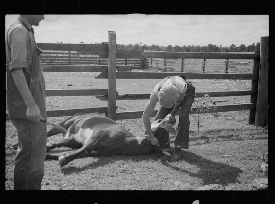
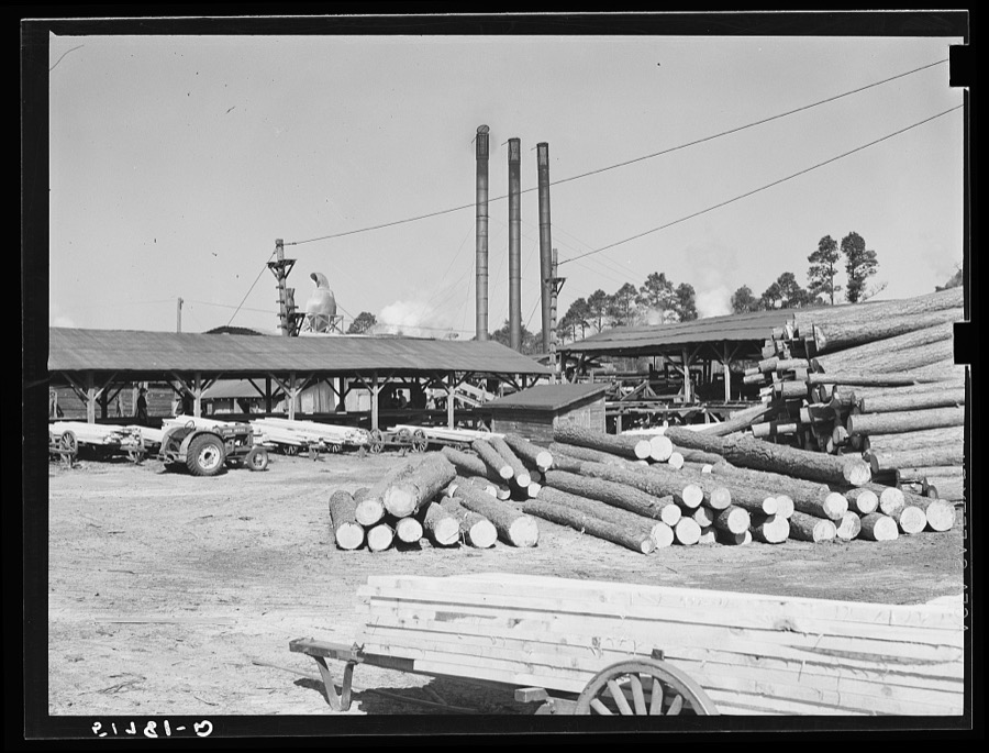
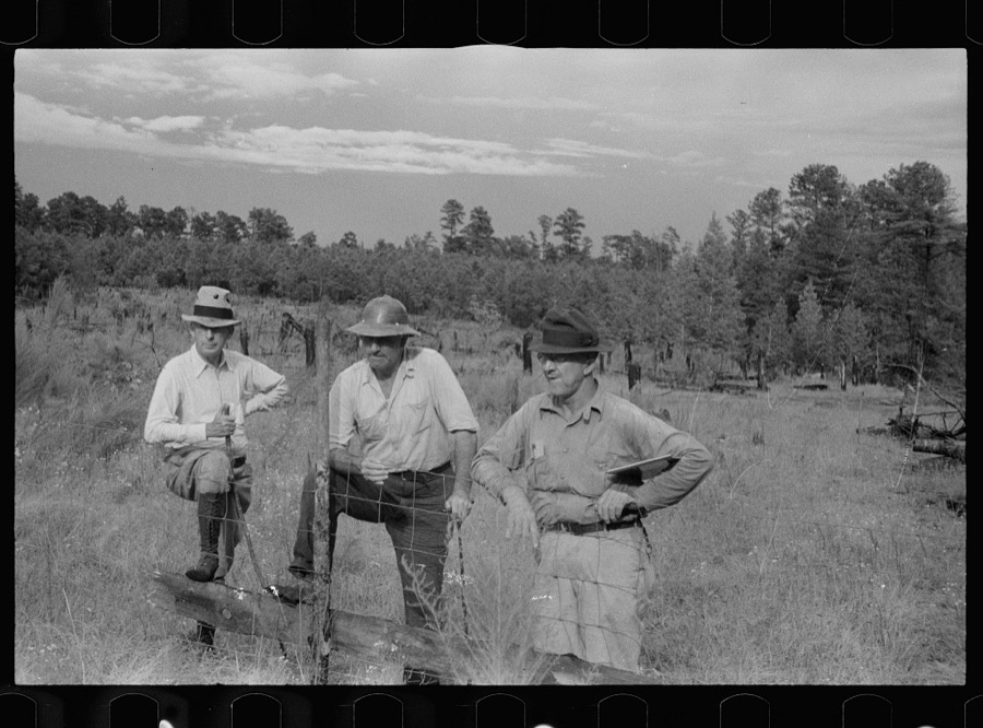
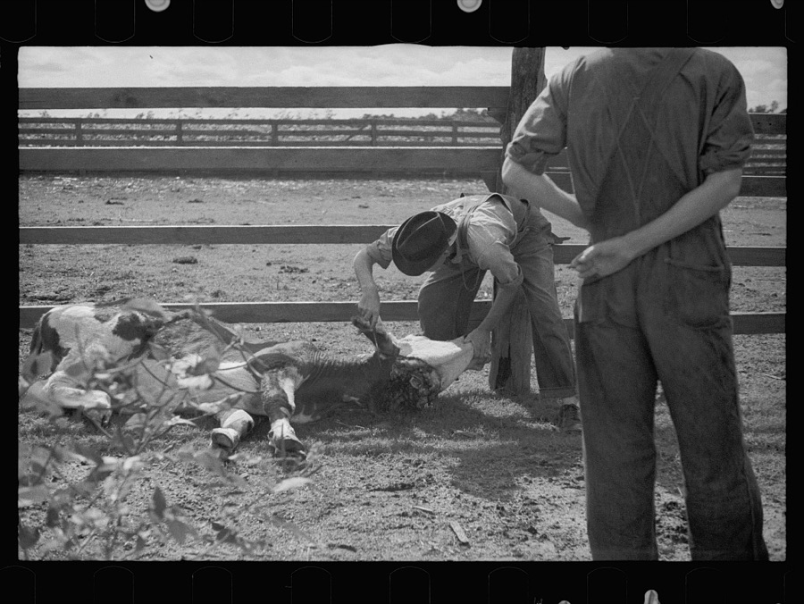
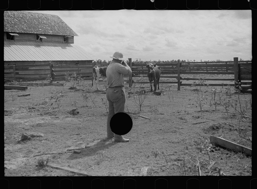
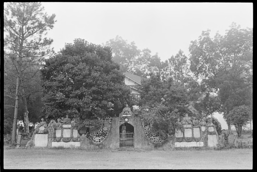
Taken for the Office of War Information and the Farm Security Administration, who photographed the country between 1935 and 1944. Works of United States government photographers, with no known restriction on use. Each opens its catalogue record.






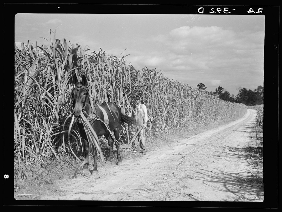
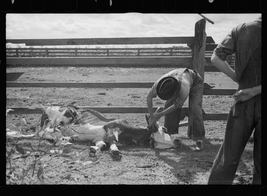
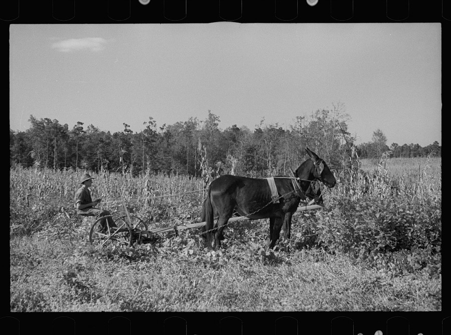
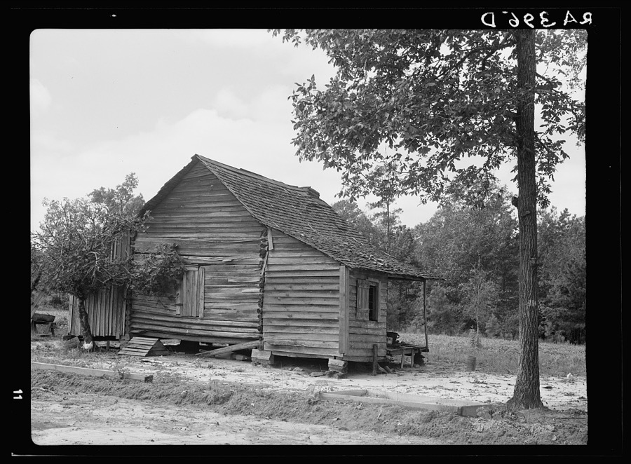
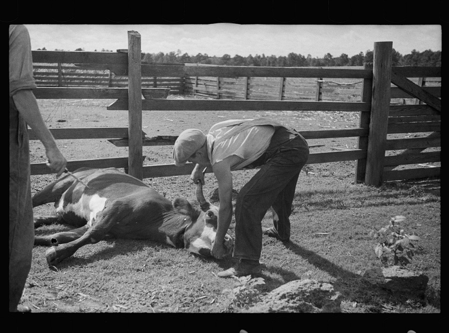
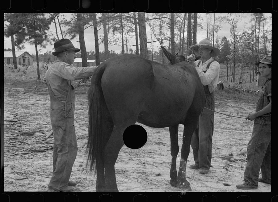

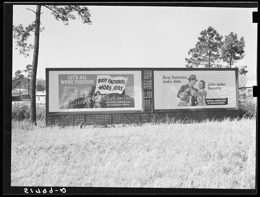


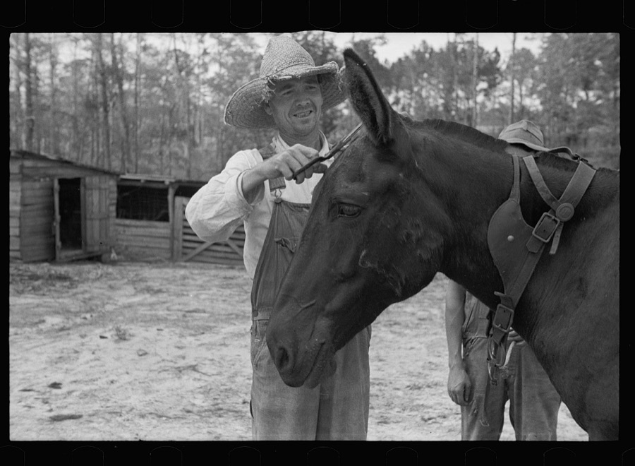


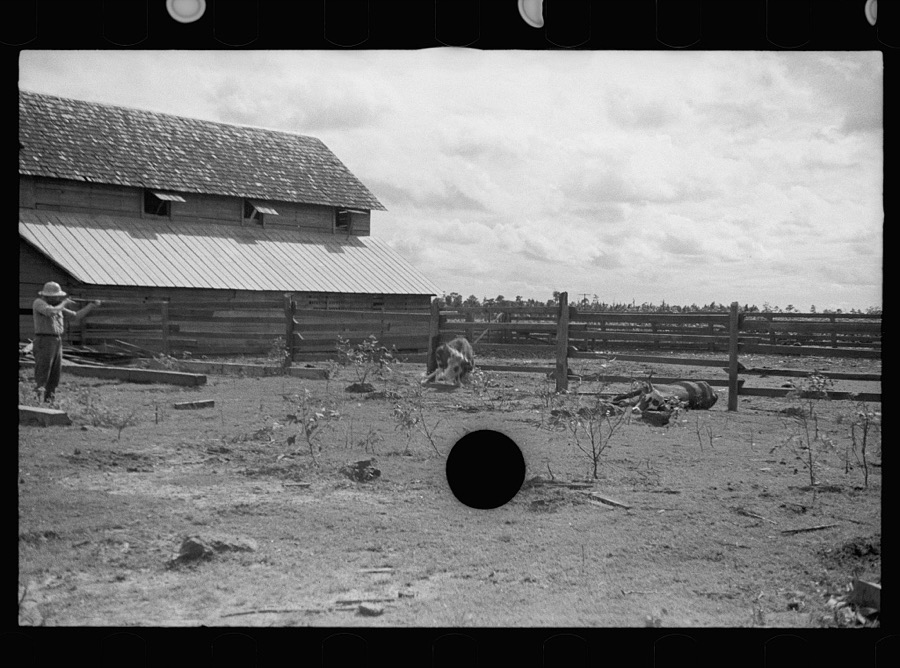


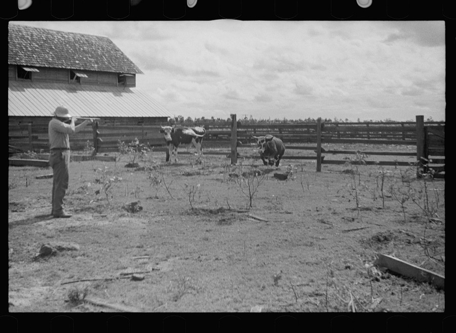
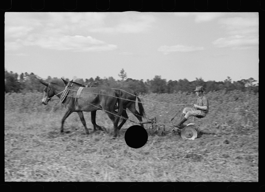

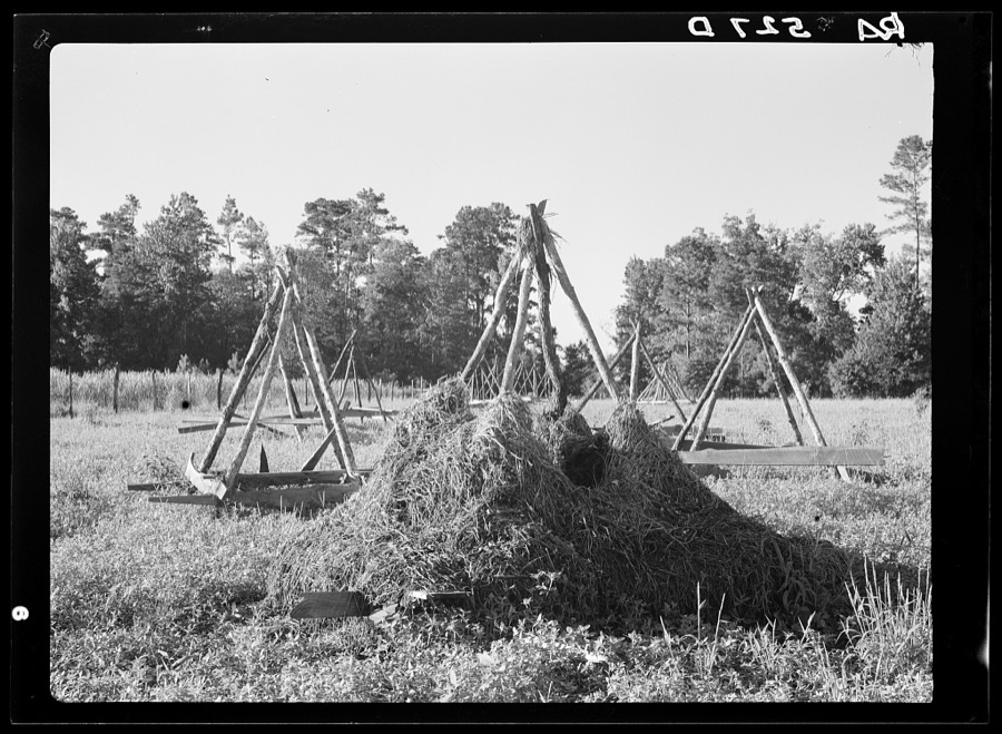














Every property in this county listed on the National Register of Historic Places, with the year it was listed and the federal nomination document.
| Photograph | Property | Type | Listed | Reference |
|---|---|---|---|---|
 | Cairo Commercial Historic District | district | 1994 | 94000525 |
 | Dickey-Birdsong Plantation | district | 1995 | 95000741 |
 | Ebenezer African Methodist Episcopal Church and School | building | 2008 | 08000714 |
 | Evergreen Congregational Church and School | building | 2002 | 02001260 |
 | Ochlocknee Missionary Baptist Church and Cemetery | building | 2010 | 10000924 |
| Pope's Museum | building | 2022 | 100007625 | |
| Sasser Farm | building | 1983 | 83000230 | |
 | Susina Plantation | building | 1970 | 70000205 |
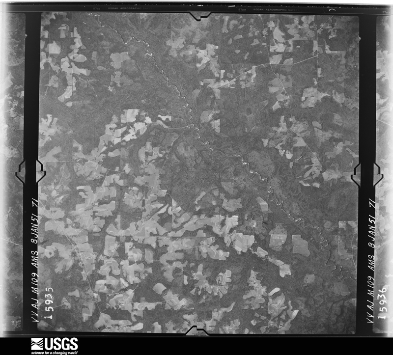
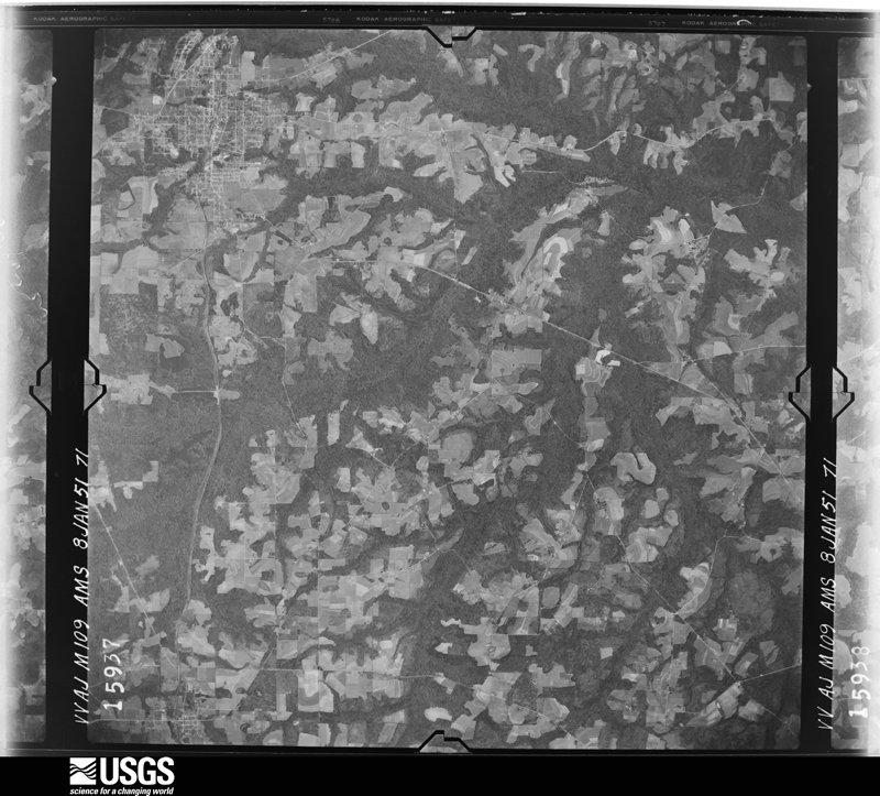
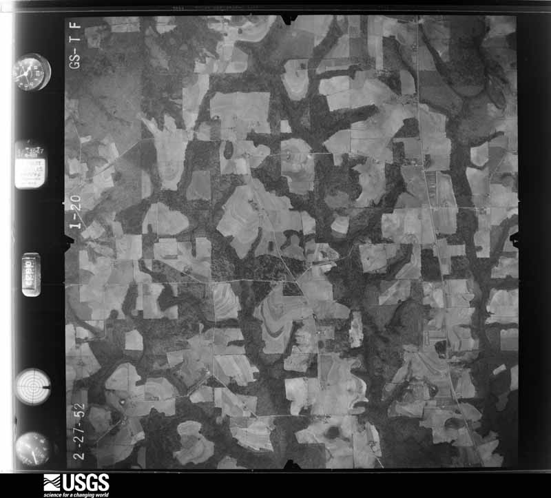
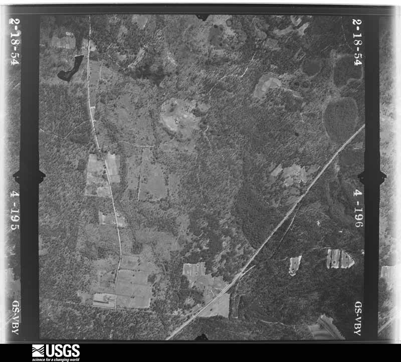
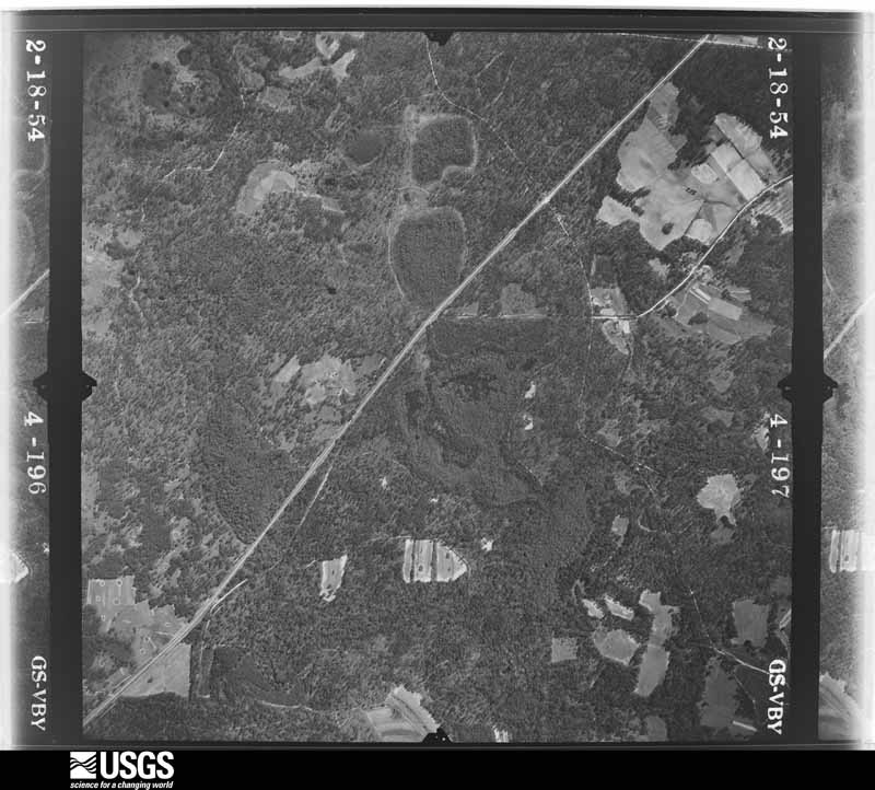
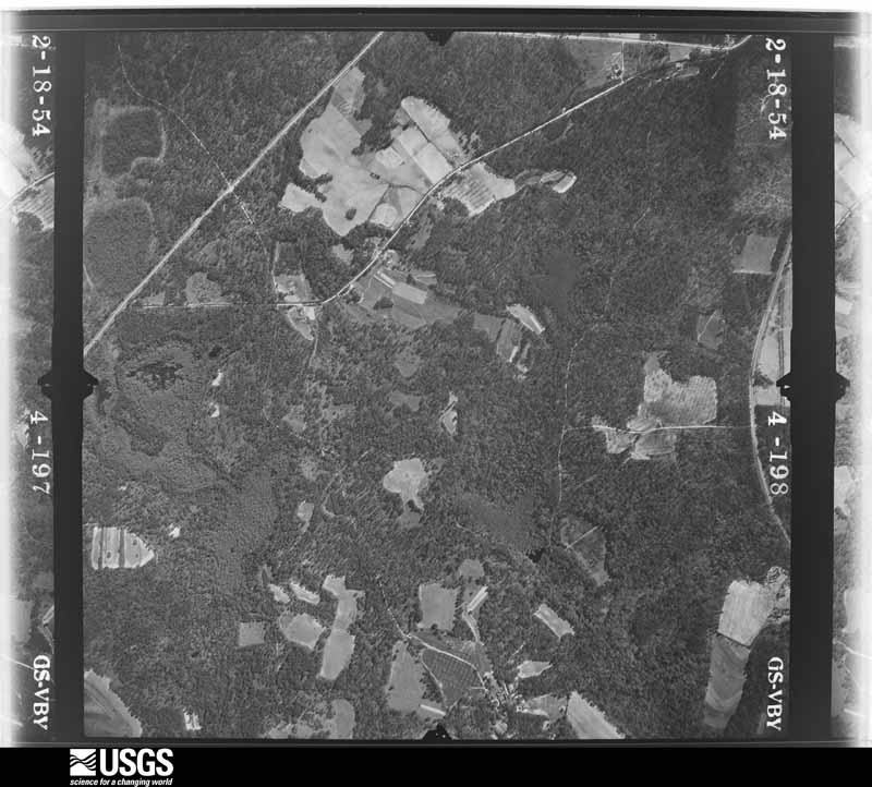
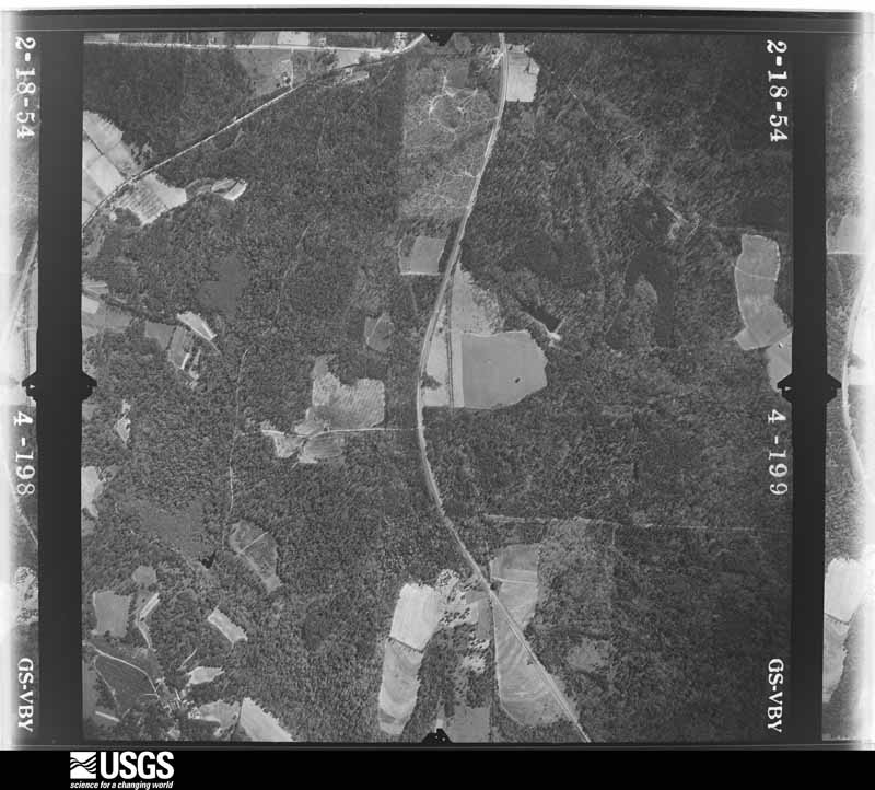
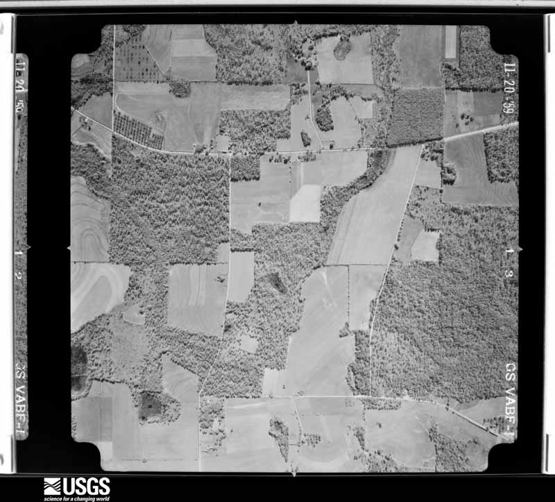
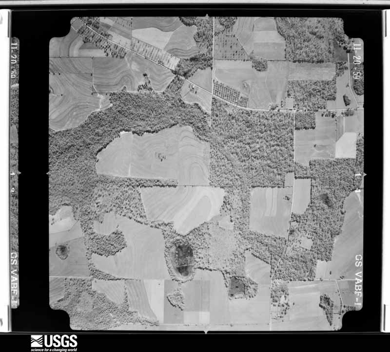
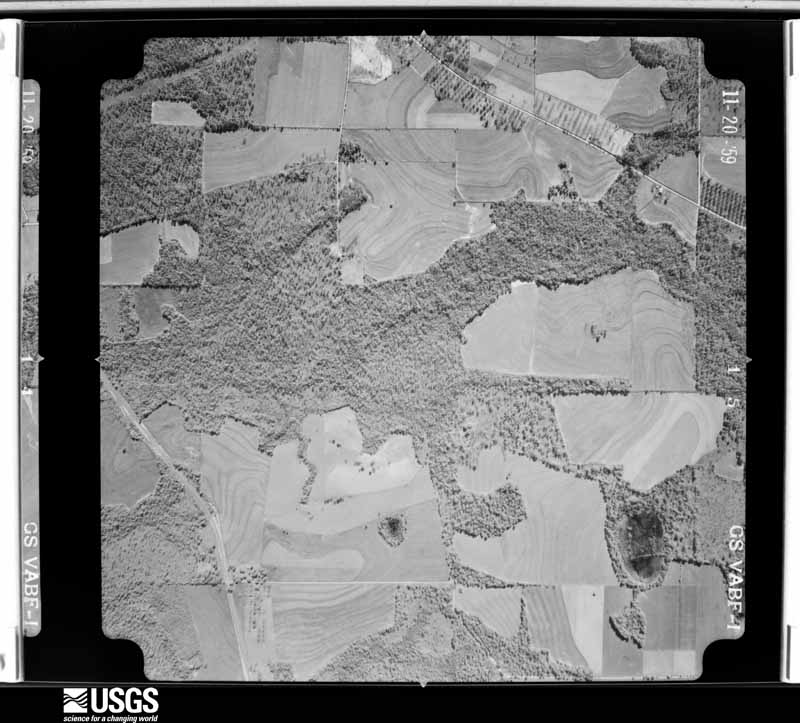
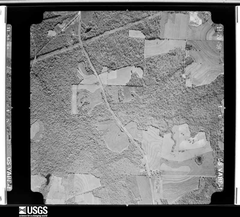
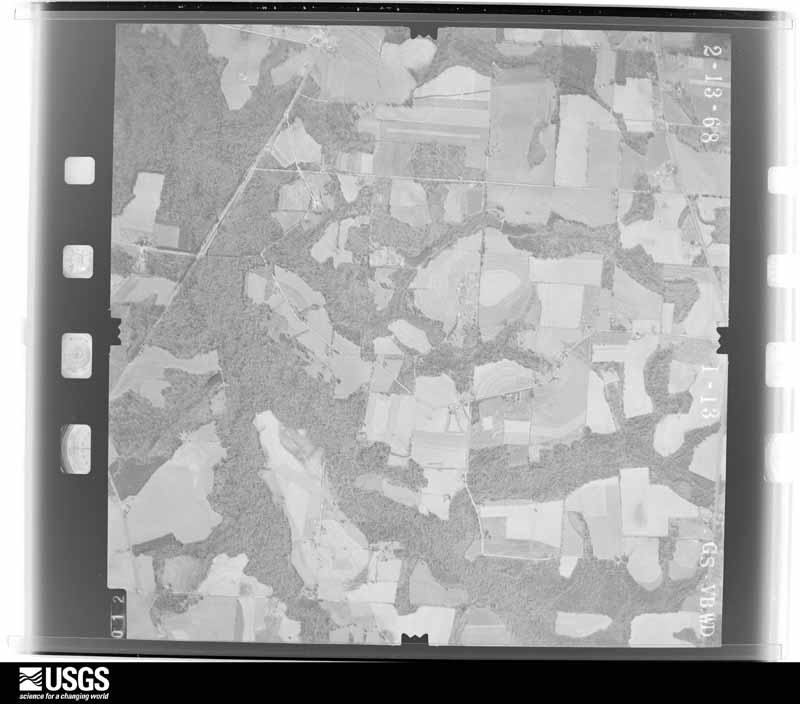
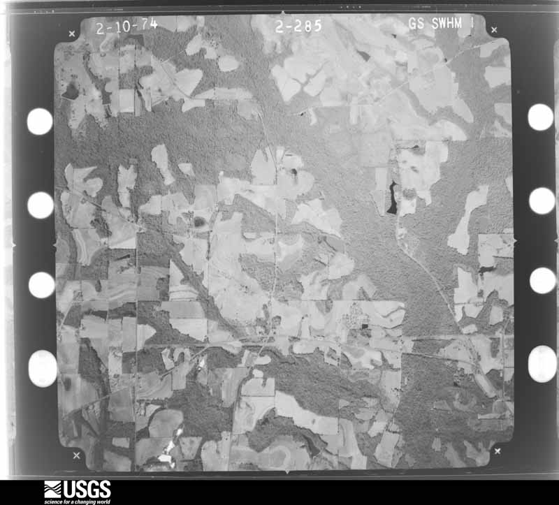
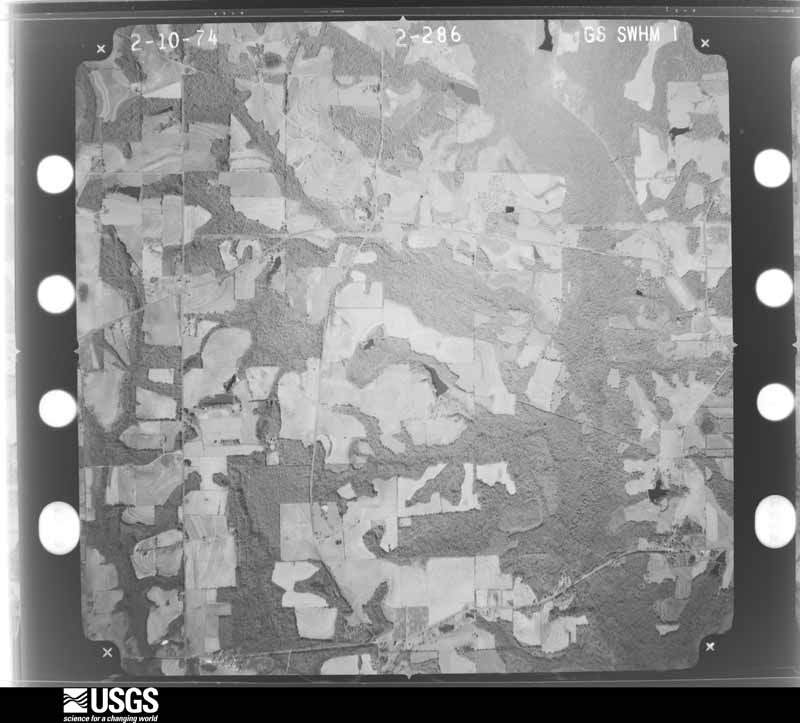
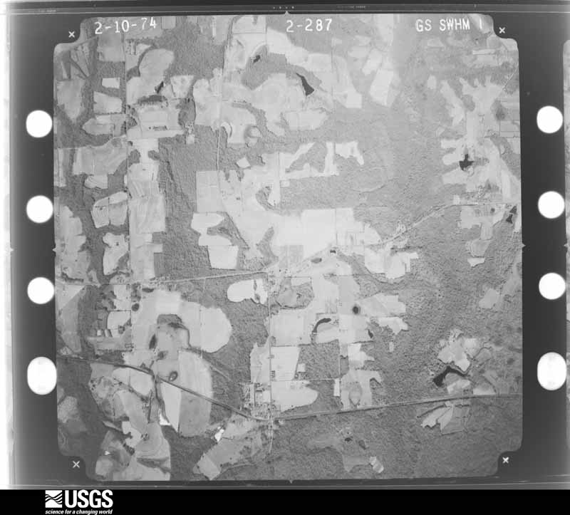
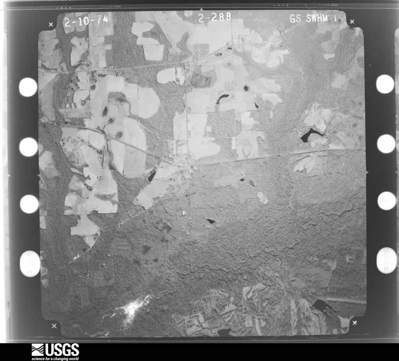
Flown by the U.S. Geological Survey between 1937 and 1989, the Aerial Photo Single Frames collection is the definitive mid-century view of the land: fields, roads and rivers as the camera saw them. The Survey holds 1,012 frames inside the rectangle that bounds this county; the 36 frames below were taken over the county itself, chosen across the decades of flights (at most four a year from that rectangle), so one flight cannot crowd out the rest. The full set is free to browse and download at EarthExplorer under the dataset Aerial Photo Single Frames.

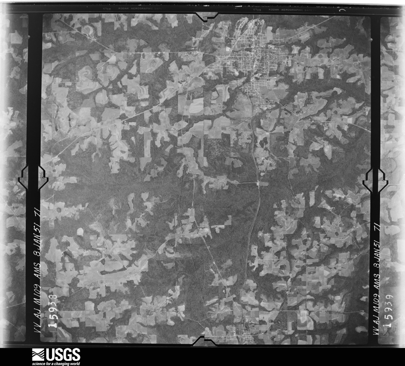
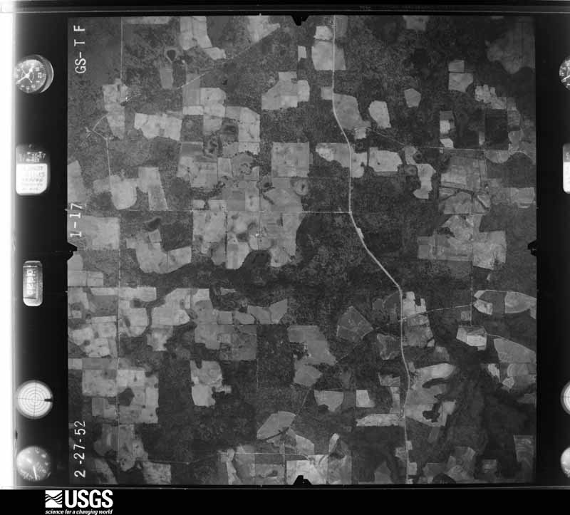
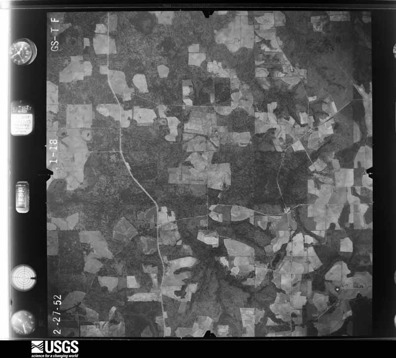
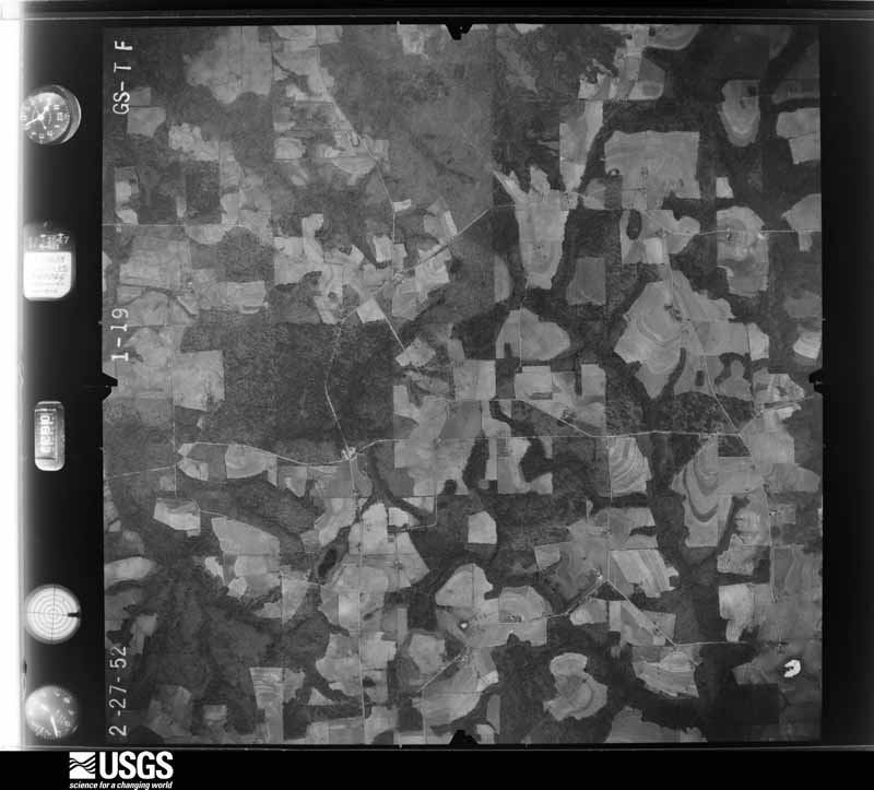















The thermometers that kept this county's weather, and the gages that measured the flow of its streams, as the federal records hold them. The extremes below are measured values from those records, not estimates.
Who lived here in 1950, one enumeration district at a time, as the Census Bureau described each district. Each row opens its official National Archives result, with Population Schedules and ED Maps available there.
Every wildfire the federal occurrence database records inside this county: 1,527 of them, burning about 4,802 acres. 28 started naturally and 98 were recorded as arson. Each settlement page carries the fires within five miles of it.
| Reported cause | Fires |
|---|---|
| Debris and open burning | 1102 |
| Arson/incendiarism | 98 |
| Equipment and vehicle use | 85 |
| Misuse of fire by a minor | 67 |
| Smoking | 61 |
| Missing data/not specified/undetermined | 39 |
| Recreation and ceremony | 38 |
| Natural | 28 |
| Railroad operations and maintenance | 9 |
The five largest, by the area the report gives. Three of them were set deliberately.
| Date | Cause | Size | Reported by | Name on the report |
|---|---|---|---|---|
| 18 March 2004 | Arson/incendiarism | 542 acres | Georgia Forestry Commission | not named |
| 19 April 2010 | Debris and open burning | 214 acres | Georgia Forestry Commission | FY2010-GRADY-017 |
| 20 March 2017 | Arson/incendiarism | 161 acres | Georgia Forestry Commission | FY2017-GRADY-036 |
| 2 March 2004 | Debris and open burning | 101 acres | Georgia Forestry Commission | not named |
| 11 May 2007 | Equipment and vehicle use | 65 acres | Georgia Forestry Commission | not named |
| 6 March 2017 | Debris and open burning | 60 acres | Georgia Forestry Commission | FY2017-GRADY-030 |
| 19 April 2017 | Arson/incendiarism | 44 acres | Georgia Forestry Commission | FY2017-GRADY-044 |
| 15 March 2013 | Debris and open burning | 44 acres | Georgia Forestry Commission | FY2013-GRADY-025 |
Every settlement page carries the fires within five miles of it - see the settlement index below.
The NOAA Storm Events Database holds 226 reports for this county, causing 7 deaths, 33 injuries and about $19,729,300 in recorded property damage. Each settlement page carries the reports that name it.
| Kind of event | Reports |
|---|---|
| Thunderstorm Wind | 162 |
| Tornado | 24 |
| Hail | 23 |
| Flash Flood | 9 |
| Heavy Rain | 5 |
| Lightning | 2 |
| Flood | 1 |
The most serious of them, by death, then injury, then recorded damage. The accounts are quoted exactly as the forecast office filed them.
| When | Event | Place named | Harm | What the report says |
|---|---|---|---|---|
| February 2000 | Tornado (F3) | Cairo | 6 killed, 15 hurt, $3,500,000 | A strong tornado tore through northern Grady County, then crossed into extreme northwest Thomas County. Fifteen homes were destroyed and numerous damaged. Fifteen persons were injured, mostly from flying debris. Six fatalities were confirmed by the Georgia Emergency Management Agency: four deaths in mobile homes and two in a woodframe home. Scores of pecan trees were uprooted, pine trees snapped and power lines toppled. Farmers suffered major losses to irrigation equipment, trailers and shelters. Eight chicken houses were flattened, killing a half million chickens. Grady County was declared a federal disaster area. Reported by the Grady County EMA. |
| August 2008 | Flash Flood | Beachton | 1 killed, $8,500,000 | Many roads and low lying areas were flooded. More than 700 miles of county roads were were undermined by the flood waters. A teenage boy drowned when he fell into rushing flood waters of an overflowing lake in Deer Lake subdivision. A man was seriously injured trying to save the boy. Numerous homes in Cairo were flooded, with some inundated by water as high as four feet. Rainfall amounts ranged from ten to twenty inches throughout the county. |
| March 2001 | Tornado (F2) | Whigham | 9 hurt, $1,000,000 | The F2 tornado raced northeast from just southeast of Climax in Decatur County to just southeast of Whigham in Grady County, then dissipated. Nine persons were injured, one critically. Ten homes were damaged and two homes destroyed on Piney Grove Road four miles southwest of Whigham. A half dozen homes were damaged two miles southwest of Whigham at the intersection of Attapulgus and Cleon Roads. Additionally, ten barns and sheds were damaged and eight trailers destroyed. Numerous trees and power lines down with outages. Reported by the Grady County EMA and a SKYWARN storm spotter. |
| December 1970 | Tornado (F2) | not stated | 4 hurt, $2,500 | no account filed |
| April 1971 | Tornado (F2) | not stated | 2 hurt, $2,500,000 | no account filed |
| March 2019 | Tornado (EF2) | Cairo | 2 hurt, $1,000,000 | An EF-2 tornado, with maximum winds of 120 mph, tracked 2.7 miles across Grady County in the Cairo area. The tornado touched down on Monrovia Nursery, downing 100s of potted plants and numerous trees in the forest. The tornado continued to track|northeastward, downing numerous trees, many of which fell on homes causing structural damage. In one of the harder hit areas, the roof was torn off of a single family home and a carport was destroyed. The tornado eventually lifted northeast of Hwy 84. Two injuries were sustained from the storm. Damage cost was estimated. |
| February 2008 | Tornado (EF1) | Capel | 1 hurt, $150,000 | The same supercell thunderstorm which spawned the brief EF0 tornado in southeast Decatur County produced an EF1 tornado just west of State Highway 93 on Courtney Lane. Mobile homes along Courtney Lane suffered minor roof damage and skirting was torn from their bases. Also, numerous trees were snapped or uprooted. The tornado traveled northeast and uprooted several trees near two homes on Shorty Lane. A mobile home lost portions of its roof. A single family home lost a few shingles off its roof. Two homes east of Shorty Lane on Wilcox Road were damaged. The tornado then moved along Pine Forest Road east of State Highway 111. About a mile up Pine Forest Road, a mobile home was destroyed with the free standing carport tossed 200 yards into the nearby forest. The occupant of the mobile home was injured when it rolled over. The roof and exterior walls were destroyed. The frame remained attached to the undercarriage of the mobile home. |
| February 2009 | Tornado (EF2) | Princes Still | $1,000,000 | A tornado touched down near Rawls and Lewis Roads just west of Georgia Highway 93. Damage along Rawls Road was limited to uprooted or snapped trees. One horse trailer was tipped over. The tornado continued eastward and moved a double wide modular home off its foundation on the west side of Holstein Lane. On the east side of Holstein Lane, a large cinder-block building was severely damaged, with the top level of the structure destroyed and lower west- and south-side facing walls collapsed. Three large grain silos south of the building were damaged or destroyed, and two large barns 50 yards to the east were destroyed. The tornado crossed Georgia Highway 93 just north of Lewis Road and plowed through a pine forest along the north side of Lower Cairo Road. Before crossing into Thomas County, over 95 percent of the trees near Plantation Drive adjacent to Lower Cairo Road were snapped. According to the Grady County Emergency Management Agency, a total of 15 homes were damaged, with about 300 residents without power. |
| April 2025 | Tornado (EF1) | Akridge | $500,000 | This tornado was rated EF1 with max winds estimated at 110 mph. The tornado initially touched down in a wooded area just west of GA-111 in Northeastern Grady County. Some initial damage to a structure and further tree damage was noted along Rich Road. The tornado continued along an intermittent path before producing more concentrated damage in the area just along and east of Akridge Road near the intersection with New Hope Road. Damage in this area included a single wide mobile home that was completely destroyed. This mobile home had straps securing it to the ground, and one of these straps along with the support frame of the mobile home was lifted out of the ground. Two other single and double wide homes in this area had some structural damage and debris impacts from trees and the adjacent destroyed mobile home. The tornado continues along New Hope Road where it destroyed a barn and continued to snap numerous pine trees in a wooded area crossing Popes Store Road. After crossing Popes Store Road, the tornado caused significant tree damage with widespread pine trees snapped and some live oaks also snapped in the area along Sammie Bulloch Road just east of Barnetts Creek. Two residences in this area were struck by the snapped large pines. The tornado began to weaken when crossing into Thomas County, with the last incident of damage occurring in an area of smaller pine trees near Maddox and Malloy Road. The parent circulation appeared to persist while crossing US-19 based on reports received, though no observed damage was seen across the remainder of Northern Thomas County between Ochlockonee and Meigs. |
| November 1995 | Tornado (F1) | Cairo | $200,000 | A tornado caused intermittent damage on a track parallel to GA Highway 188. One unoccupied moble home was completely destroyed. Several other frame homes received serious damage. |
| January 2006 | Thunderstorm Wind | Cairo | $150,000 | Straight-line winds whipped through the Cairo Country Club area, uprooting and snapping off pine trees, and downing power lines. In the new neighborhood of Hawthorne Trails, the winds destroyed 60 percent of the wood trusses of a frame house. The storm then moved across Lake Jenna and dissipated before reaching Sutton Mill Road NW. About 35 homes in the country club area were without power for nearly four hours. Damage to homes was minimal. Reported by the Grady County EMA. |
| September 2004 | Tornado (F1) | Whigham | $150,000 | A tornado damaged five homes and several chicken houses in Whigham. Numerous downed trees and power lines blocked several roads along its path. Reported by the Grady County EMA |
| September 2023 | Thunderstorm Wind | Cairo | $100,000 | Numerous trees and power lines were blown down in Cairo with trees down on several houses. |
| November 1995 | Tornado (F1) | Nickleville | $100,000 | A tornado blew down many large trees and damaged five residences. |
| February 2003 | Tornado (F1) | Cairo | $75,000 | A tornado briefly touched down on Ridge Road, just south of the Grady-Mitchell county line. It damaged two homes, and knocked down trees and power lines. The tornado moved northeast into southern Mitchell County. Reported by the Grady County EMA. |
| September 2000 | Flash Flood | Countywide | $75,000 | Flood waters closed several county roads. Reported by the Grady County EMA. |
| July 1995 | Thunderstorm Wind | Spense | $60,000 | Thunderstorm winds completely destroyed a mobile home and knocked over countless trees in the area. |
| June 2008 | Lightning | Cairo Grady Co Arpt | $35,000 | Lightning struck a home along U.S. Highway 84. It damaged the attic, roof and kitchen. |
| July 2009 | Thunderstorm Wind | Calvary | $25,000 | Numerous trees and power lines down across portions of southern Grady County. A few homes sustained minor damage from fallen trees. |
| June 2008 | Lightning | Cairo Grady Co Arpt | $25,000 | Lightning struck a home near the intersection of Highway 188 and Pierce Chapel Road. It caused minor damage to the roof. |
| June 2008 | Flash Flood | Capel | $25,000 | Four inches of rain in less than two hours caused damage to a few roads from Pine Level Road north to Gilliard Road. There were two roads where the pipes were washed out. A small portion of Baggett Mill Road suffered a wash out at a bridge, and where debris accumulated around a drain pipe under the road had collapsed away. |
| February 2007 | Thunderstorm Wind | Cairo | $25,000 | The Grady County EMA reported major damage to a mobile home. Several trees were down. |
| March 2006 | Thunderstorm Wind | Cairo | $25,000 | A microburst blew down numerous trees and some power lines from near the intersection of Robert Willis and Harper Roads east to Brumbley Creek (north of State Road 188). One home on Harper Road lost part of its roof. Damage survey conducted by the NWS Tallahassee WCM. |
| January 2006 | Thunderstorm Wind | Northeast Portion | $25,000 | On Womble Road, one house had a portion of its roof blown off and chimney damaged. A metal carport was blown about 500-600 yards from home and a large oak tree was snapped. A barn had half its roof peeled off. A nearby pole barn was severely damaged. On Ridge Road, trees were snapped and an irrigation system was twisted and overturned. Reported by the Grady County EMA. |
| March 1989 | Tornado (F1) | not stated | $25,000 | no account filed |
| April 1976 | Tornado (F1) | not stated | $25,000 | no account filed |
| January 1971 | Tornado (F1) | not stated | $25,000 | no account filed |
| April 1969 | Tornado (F2) | not stated | $25,000 | no account filed |
| April 1961 | Tornado (F1) | not stated | $25,000 | no account filed |
| July 2018 | Thunderstorm Wind | Nickleville | $20,000 | A vehicle ran into a tree across the road near the intersection of Tired Creek Road and Jones Road. No injuries were reported. Damage cost was estimated. |
| February 2016 | Tornado (EF1) | Boydville | $20,000 | The tornado touched down southeast of Whigham and traveled northeast, crossing Highway 84 between Whigham and Cairo. The tornado lifted northeast of Cairo. The bulk of the damage was to trees and power lines with some minor damage to a few homes, mainly caused by falling trees. The strongest winds were likely along Providence Road where multiple trees were snapped at various levels. In addition, a partially strapped mobile home was moved from its foundation just north of Cairo. Six people were inside the mobile home, and nobody was injured. This tornado was rated EF1 with max winds estimated at 90 mph. Damage cost was estimated. |
| April 2011 | Thunderstorm Wind | Cairo | $20,000 | Trees and power lines were blown down across the county. The monetary damage figure provided is a rough estimate. |
| June 1996 | Thunderstorm Wind | Countywide | $12,000 | no account filed |
| March 2018 | Thunderstorm Wind | Cairo | $10,000 | A large pine tree was blown down onto a vehicle along Highway 84 near Vereen Bell Road. No injuries occurred. |
| July 2018 | Thunderstorm Wind | Whigham | $10,000 | Shingles were blown off a roof in Whigham. Damage cost was estimated. |
| June 2016 | Thunderstorm Wind | Boydville | $10,000 | Several trees and power lines were blown down in Grady county. Damage was estimated. |
| November 2015 | Tornado (EF0) | Elpino | $10,000 | A brief tornado touched down near the intersection of Pine Level and Ridge Road in northern Grady county. The primary damage was to pine trees with minor roof damage to a mobile home. Law enforcement witnessed the tornado. This tornado was rated EF0 with max winds around 75 mph. Damage cost was estimated. |
| June 2008 | Thunderstorm Wind | Pine Park | $10,000 | Numerous trees and power lines were down across the eastern portion of the county. |
| February 2007 | Thunderstorm Wind | Cairo | $10,000 | The Grady County EMA reported a roof blown off a house. Several trees were down. |
| January 2002 | Thunderstorm Wind | Countywide | $10,000 | Numerous downed trees and power lines. Reported by Grady County 911. |
| September 2002 | Flash Flood | Countywide | $10,000 | Three to five inches of rain caused flooding of several county roads, with some street flooding in Cairo. Reported by 911. |
| January 2000 | Thunderstorm Wind | Countywide | $10,000 | The Grady County S.O. reported numerous downed trees on U.S. 19 South and Borden Rd. |
| July 1998 | Thunderstorm Wind | Countywide | $10,000 | Power lines down countywide. |
| July 2012 | Thunderstorm Wind | Cairo-Grady Arpt | $7,000 | A large tree was blown down near the intersection of Singletary Road and Highway 84 with portions of the tree damaging a mobile home. Monetary damage was estimated. |
| March 2022 | Thunderstorm Wind | Whigham | $5,000 | Damage to a shed's roof on farm was reported a 1047 Cedar Springs Road. Part of the metal roof was tossed into nearby trees. |
| June 2018 | Thunderstorm Wind | Cairo | $5,000 | Broken power poles were reported in Grady county. |
| January 2017 | Thunderstorm Wind | Elpino | $5,000 | Several power lines were blown down north of Cairo. Damage cost was estimated. |
| January 2017 | Thunderstorm Wind | Spence | $5,000 | Trees and power lines were blown down in the Macedonia Church area. Damage cost was estimated. |
| March 2013 | Thunderstorm Wind | Princes Still | $5,000 | Multiple trees were blown down in Grady county. Monetary damage was estimated. |
| July 2012 | Thunderstorm Wind | Pine Park | $5,000 | A tree was blown down onto a home at 891 Bold Springs Road. Monetary damage was estimated. |
| February 2012 | Thunderstorm Wind | Whigham | $5,000 | Multiple trees and power lines were blown down across the county. Monetary damage was estimated. |
| February 2008 | Thunderstorm Wind | Whigham | $5,000 | Estimated 70 mph straight line winds blew out windows of a home southwest of Whigham. Numerous trees were down in the area. |
| June 2006 | Thunderstorm Wind | Southwest Portion | $5,000 | The Grady County Sheriff reported a few downed trees and power lines near Nickleville and Calvary. |
| May 2004 | Thunderstorm Wind | Cairo Grady Co Arpt | $5,000 | Downed trees and power lines reported by the Grady County EMA. |
| June 2001 | Thunderstorm Wind | Pine Park | $5,000 | Numerous trees and power lines down. Reported by the Grady County EMA. |
| August 1999 | Thunderstorm Wind | Whigham | $5,000 | Grady County S.O. reported several downed trees and power lines. |
| August 1999 | Thunderstorm Wind | Calvary | $5,000 | Grady County S.O. reported several downed trees and power lines. |
| November 1997 | Thunderstorm Wind | Reno | $5,000 | Severe thunderstorm winds downed trees and power lines along the Lower Hawthorne Trail near Reno. |
| August 1993 | Thunderstorm Wind | Whigham | $5,000 | A few large trees were blown over by thunderstorm winds. |
| January 2013 | Thunderstorm Wind | Whigham | $4,000 | Several trees were blown down around the county. Monetary damage was estimated. |
The Survey's mineral resources record lists 1 working inside this county. It still produces. Each settlement page carries the workings within five miles of it.
| Commodity | Workings |
|---|---|
| Clay | 1 |
The least common of them first, because a county's hundredth gravel pit says nothing its first ten did not.
| Where | Site | Commodity | Status | Recorded |
|---|---|---|---|---|
| Mayfield Mine | Clay | Producer |
Named settlements recorded in the Geographic Names Information System, each with the topographic sheets covering it. Villages, hamlets and abandoned places alike. Each is shown with the nearest named watercourse or landform and the survey quadrangle it falls on. The 1 place that was also surveyed for fire insurance comes first, with the number of atlases and photographs held for them.
Cairo census division · 39828 · Cairo North quadrangle
12 sheets, 1954 to 1988
Fire insurance: 3 atlases
Cairo census division · 31773 · On Big Branch · Cairo North quadrangle
12 sheets, 1954 to 1988
Calvary-Reno census division · 39828 · Reno quadrangle
12 sheets, 1954 to 1988
No longer a settlement
Cairo census division · 39827 · On Gin Branch · Cairo North quadrangle
12 sheets, 1954 to 1988
Spence census division · 31779 · Pelham quadrangle
9 sheets, 1953 to 1981
No longer a settlement
Whigham census division · 39897 · On Merritt Branch · Reno quadrangle
12 sheets, 1954 to 1988
Northwest Grady census division · 31779 · On Kelly Creek · Gee Pond quadrangle
9 sheets, 1953 to 1981
Calvary-Reno census division · 39828 · On Hadley Creek · Calvary quadrangle
11 sheets, 1954 to 1988
Cairo census division · 39827 · On Big Branch · Cairo North quadrangle
12 sheets, 1954 to 1988
Southeast Grady census division · 31792 · Beachton quadrangle
13 sheets, 1954 to 1994
No longer a settlement
Whigham census division · 39897 · On Wolf Creek · Reno quadrangle
12 sheets, 1954 to 1988
Cairo census division · 39828 · On Wolf Creek · Whigham quadrangle
12 sheets, 1954 to 1988
Calvary-Reno census division · 39897 · On Maxwell Creek · Reno quadrangle
12 sheets, 1954 to 1988
No longer a settlement
Spence census division · 31779 · On Pilcher Creek · Pelham quadrangle
9 sheets, 1953 to 1981
Whigham census division · 39897 · On Sweetwater Branch · Whigham quadrangle
12 sheets, 1954 to 1988
The vanished settlements of Grady County: the places named above that are no longer on the map.
12 topographic sheets and 3 fire insurance atlases, 1912 to 1944