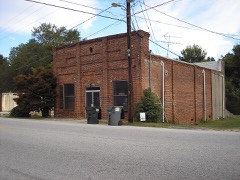
Block
From the record
24 National Register listings published here.
Sources: the National Register database, National Park Service
34 topographic sheets and 9 fire insurance atlases across 2 places.
24 National Register listings published here.
Sources: the National Register database, National Park Service
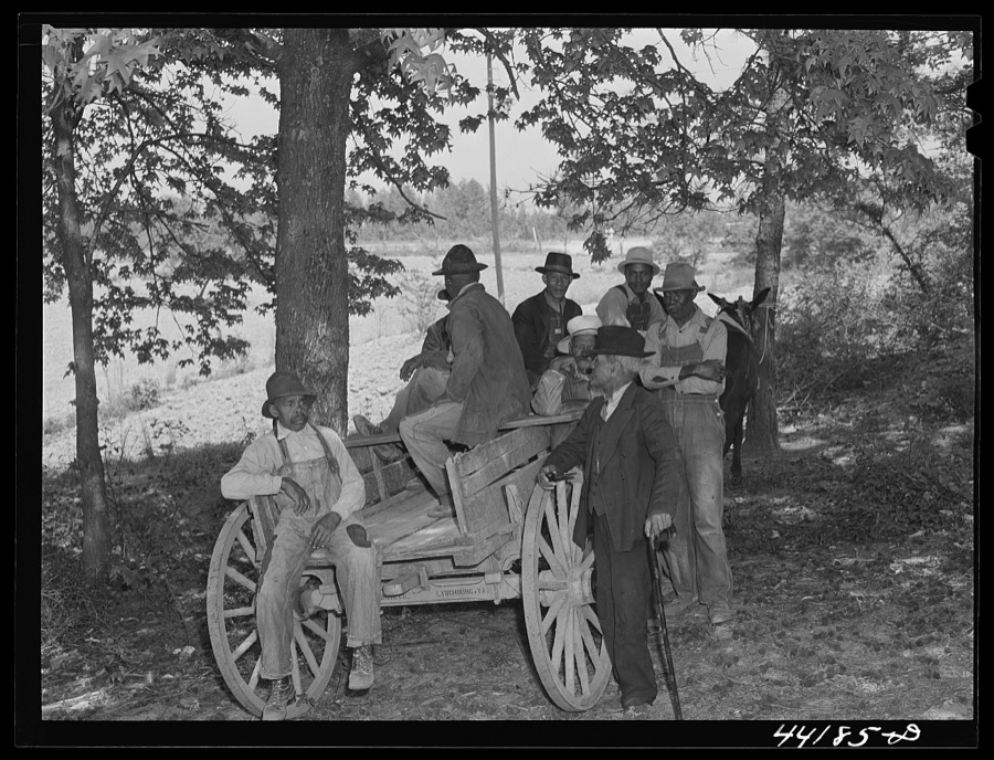
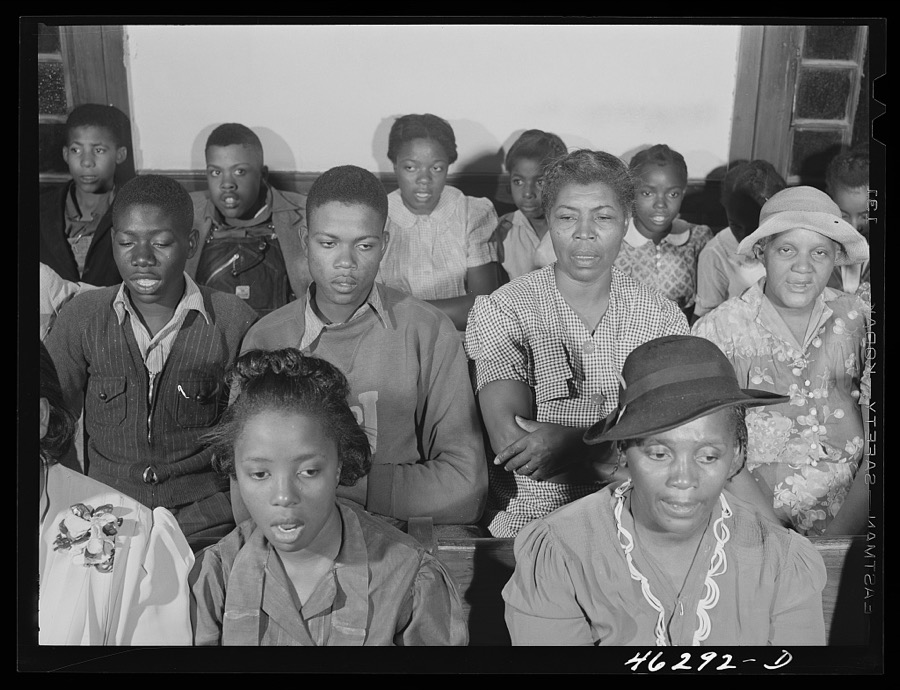
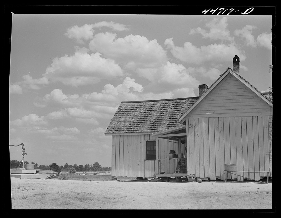
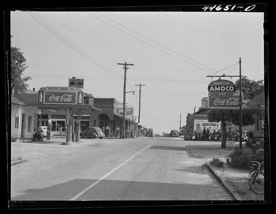
Taken for the Office of War Information and the Farm Security Administration, who photographed the country between 1935 and 1944. Works of United States government photographers, with no known restriction on use. Each opens its catalogue record.









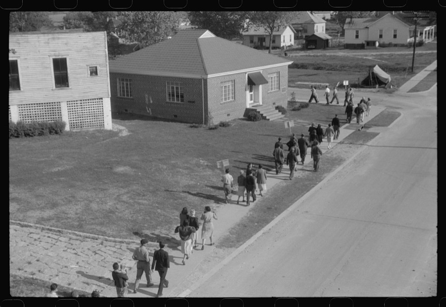





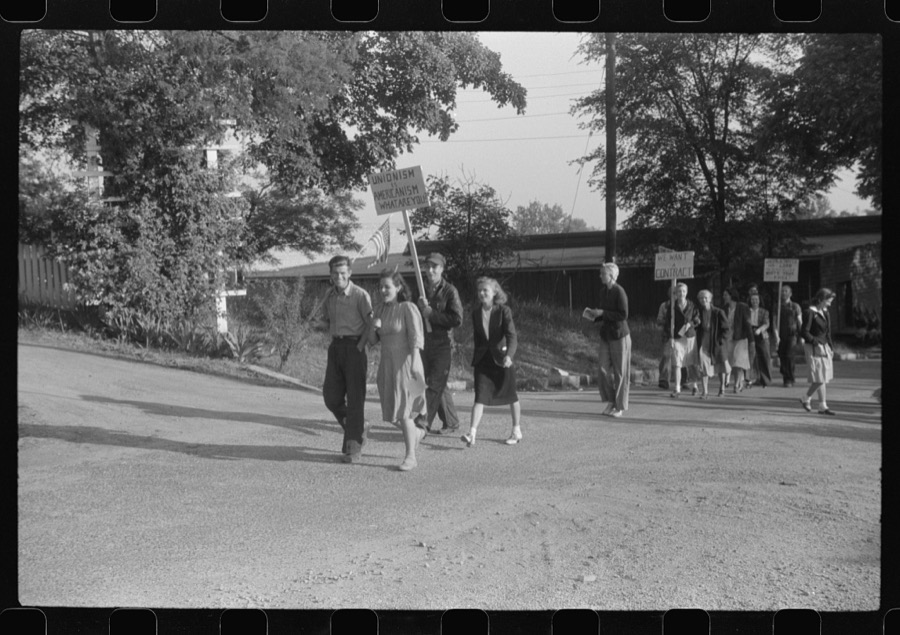



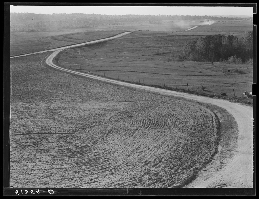


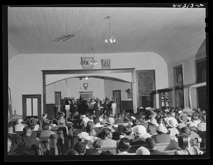













Every property in this county listed on the National Register of Historic Places, with the year it was listed and the federal nomination document.
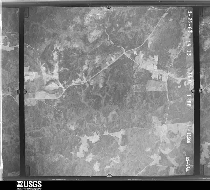
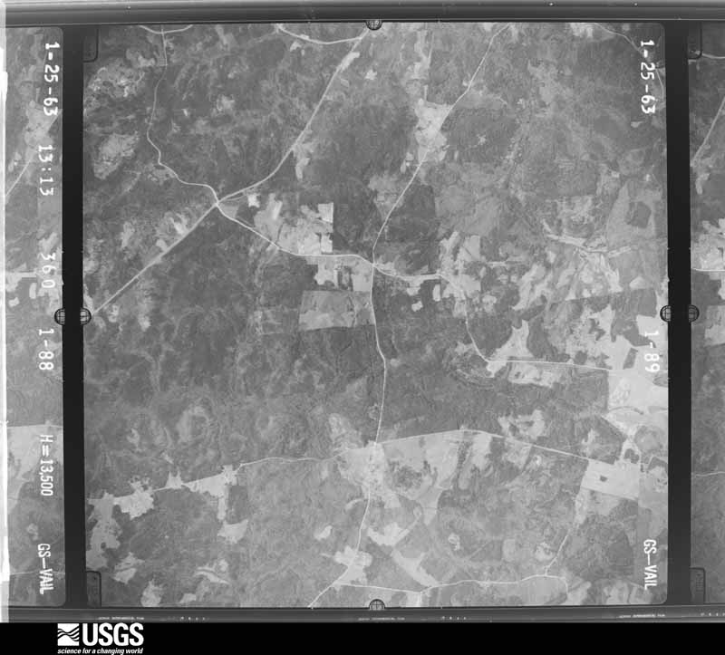
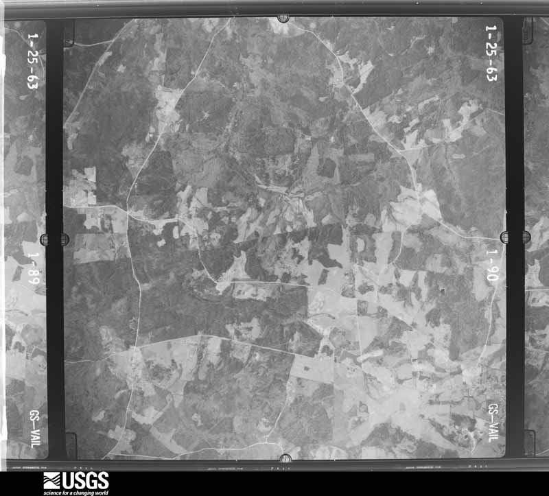
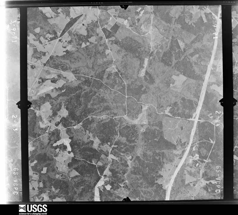
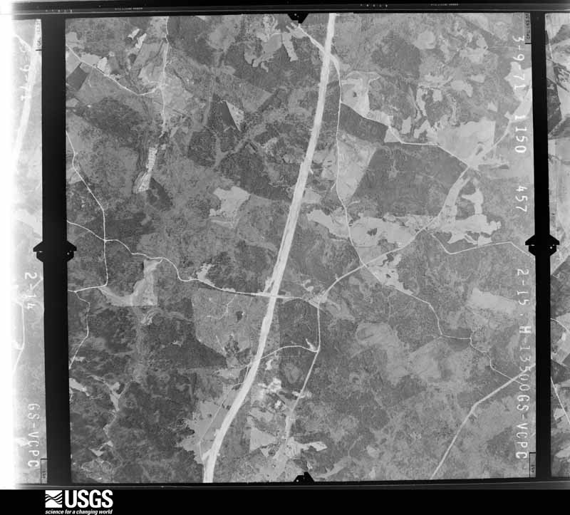
Flown by the U.S. Geological Survey between 1937 and 1989, the Aerial Photo Single Frames collection is the definitive mid-century view of the land: fields, roads and rivers as the camera saw them. The Survey holds 466 frames inside the rectangle that bounds this county; the 16 frames below were taken over the county itself, chosen across the decades of flights (at most four a year from that rectangle), so one flight cannot crowd out the rest. The full set is free to browse and download at EarthExplorer under the dataset Aerial Photo Single Frames.











The thermometers that kept this county's weather, and the gages that measured the flow of its streams, as the federal records hold them. The extremes below are measured values from those records, not estimates.
Who lived here in 1950, one enumeration district at a time, as the Census Bureau described each district. Each row opens its official National Archives result, with Population Schedules and ED Maps available there.
Every wildfire the federal occurrence database records inside this county: 742 of them, burning about 2,947 acres. 47 started naturally and 99 were recorded as arson. Each settlement page carries the fires within five miles of it.
| Reported cause | Fires |
|---|---|
| Debris and open burning | 313 |
| Arson/incendiarism | 99 |
| Missing data/not specified/undetermined | 84 |
| Equipment and vehicle use | 78 |
| Smoking | 70 |
| Natural | 47 |
| Recreation and ceremony | 26 |
| Misuse of fire by a minor | 20 |
| Power generation/transmission/distribution | 3 |
| Railroad operations and maintenance | 2 |
The five largest, by the area the report gives. None of them was recorded as arson.
| Date | Cause | Size | Reported by | Name on the report |
|---|---|---|---|---|
| 23 March 2007 | Debris and open burning | 250 acres | Georgia Forestry Commission | not named |
| 17 August 2007 | Natural | 145 acres | Georgia Forestry Commission | not named |
| 18 July 2019 | Debris and open burning | 90 acres | Georgia Forestry Commission | FY2020GREENE002 |
| 10 November 2001 | Missing data/not specified/undetermined | 80 acres | Chattahoochee-Oconee National Forest | 1231 |
| 5 May 1993 | Debris and open burning | 76 acres | Georgia Forestry Commission | not named |
| 5 March 2017 | Debris and open burning | 64 acres | Georgia Forestry Commission | FY2017-GREENE-013 |
| 25 October 2001 | Debris and open burning | 63 acres | Georgia Forestry Commission | FY2002-GREENE-016 |
| 11 October 2006 | Natural | 56 acres | Georgia Forestry Commission | not named |
Every settlement page carries the fires within five miles of it - see the settlement index below.
The NOAA Storm Events Database holds 157 reports for this county, causing 1 death, 31 injuries and about $6,848,300 in recorded property damage. Each settlement page carries the reports that name it.
| Kind of event | Reports |
|---|---|
| Thunderstorm Wind | 104 |
| Hail | 34 |
| Flash Flood | 7 |
| Tornado | 5 |
| Lightning | 4 |
| Heavy Rain | 2 |
| Funnel Cloud | 1 |
The most serious of them, by death, then injury, then recorded damage. The accounts are quoted exactly as the forecast office filed them.
| When | Event | Place named | Harm | What the report says |
|---|---|---|---|---|
| November 1992 | Tornado (F4) | not stated | 1 killed, 31 hurt, $2,500,000 | no account filed |
| January 1998 | Thunderstorm Wind | Greensboro | $2,000,000 | A severe thunderstorm caused damage in downtown Greensboro, mainly in a 2 block by 3 block area around the intersection of State Roads 15 and 44. A total of 23 businesses were damaged. Two homes sustained minor damage. Roofs being damaged or blown off and windows being blown out accounted for much of the damage. Other damage came from debris being blown around and water damage inside stores and shops where the roofs were blown off. One car was destroyed by falling bricks. Witnesses said there were roaring sounds, but sight survey by a NWS employee indicated the damage was by straight-line winds from a downburst. Luckily, there were no injuries or deaths, since most businesses close early on Wednesday evenings. |
| April 2011 | Tornado (EF1) | Greshamville | $750,000 | A storm survey conducted by the National Weather Service Forecast Office in Peachtree City, Georgia confirmed that then EF1 tornado that first touched down in far southeast Newton county and continued across central Morgan county, moved into western Greene county before finally lifting approximately six miles west of Greensboro. While the total tornado path length was 25 miles, approximately 3.5 miles of this was within Greene county. The path width was determined to be 1/2 mile with maximum winds estimated to be 105 mph. Damage within Greene county was mostly confined to hundreds of trees, with minor structural damage, especially around Greshamville. One home was destroyed and one suffered major damage. Six other homes sustained minor damage.||[04/27-04/28/11: Tornado #13, County #3-3, EF1, Newton-Morgan-Greene, 2011:022]. |
| April 2020 | Tornado (EF1) | Ruth | $500,000 | The same storm which generated a tornado in Putnam County regenerated a new EF1 tornado once it crossed into Greene County at Lake Oconee. The tornado first touched down along Reynolds Parkway within the Creek Club Reynolds Plantation subdivision snapping an uprooting a few trees. As the tornado continued NE through the subdivision it intensified to maximum intensity (105 MPH) near the golf course at Rose Creek and Cottage Lane. Several well built homes sustained minor roof damage from wind or debris. Hundreds of trees were snapped or uprooted in the area between Sandy Ford and Rose Creek. The tornado reached the point at the end of Rose Creek where several homes had trees fall on them caused more significant damage. A portion of dock at a home on Rose Creek was lifted out of the water and thrown onto the |shore and numerous boathouses sustained major damage. The storm crossed a portion of Lake Oconee and emerged into another subdivision along Cherokee Drive, Cloudland Ct. and Eagle Bluff Drive where numerous trees were snapped and uprooted. Several |homes sustained damage from trees here as well. The storm crossed Bouldercrest Way and Sun Valley Ct, across another portion of Lake Oconee and up Club Drive snapping and uprooting trees. The tornado weakened a bit as it moved up Armour Rd with EF0 type tree damage and crossed Fleur de Lac Lane where a pocket of EF1 tree damage was observed and a home was severely damaged from a falling tree. The storm continued to weaken as it moved NE and dissipatedas it crossed Veaszy and White Plains Rd where a tree was knocked over. In total, an estimated 35 to 40 homes were impacted by trees from this tornado. [04/13/20: Tornado #17, County #1/1, EF-1, Greene, 2020:023]. |
| April 2011 | Thunderstorm Wind | Wrayswood | $150,000 | The Greene County Emergency Management Director reported that dozens of trees were down throughout the county. The Greshamville community in the western part of the county experienced the most damage. Trees were down on Georgia Highway 15 near Greensboro as well. Property damage across the county consistent of damage to a hanger at the Greene county airport, an EMS unit, and a high pressure natural gas main line. |
| June 2010 | Thunderstorm Wind | Greensboro | $150,000 | The Greene County Emergency Management Director reported that up to 125 trees were down between Greensboro and Union Point. Several homes and barns sustained roof damage from downed trees and wind gusts in the area of Penfield and Hensley Roads. Up to 15 trees were down within the city of Greensboro alone. Radar data suggests that a strong thunderstorm downburst affected this area. |
| June 2001 | Flash Flood | Countywide | $150,000 | The Greene County Emergency Management Director reported that 22 roads were flooded in the county. Rainfall of 3 to 5 inches in a 3 hour period fell on top of 2 to 5 inches of rain which had fallen in the previous 1 to 2 days. Several roads were washed out and required extensive repairs. |
| August 2021 | Tornado (EF1) | Carey | $100,000 | A National Weather Service survey determined that an EF1 tornado with maximum wind speeds of 90 mph and a maximum path width of 100 yards touched down west of Greensboro along Northwoods Drive, just north of Highway 278. The tornado traveled |north northwest along the eastern shore of Lake Oconee where several homes had trees snapped and uprooted around them. One home had several windows blown in. Along Arrowhead Road and Quail Trails numerous trees were snapped and uprooted and several boathouses were destroyed along with several outbuildings and sheds. Many homes suffered minor damage and a few had more significant damage where trees fell onto the homes. The tornado continued moving to the north northwest along the lake in mainly uninhabited areas until it crossed Greenbriar Drive where many large limbs and branches were blown down. The tornado dissipated after it crossed South M Copeland Road in a wooded area to the west of the road. [8/17/21: Tornado #4, County #1/1, EF-1, Greene, 2021:018]. |
| November 2002 | Thunderstorm Wind | Greensboro | $100,000 | The Greene county Emergency Management Director reported that extensive wind damage occurred to a school. The roof sustained significant damage and the gymnasium suffered extensive damage. |
| March 2008 | Hail | Veazey | $75,000 | The Greene County Emergency Management Director reported that golf ball-sized hail covered the ground along the north shores of Lake Oconee in southern Greene county. Similar hail was observed on the Putnam county side of the lake as well. The public reported half-dollar-sized hail in the same area. |
| February 2020 | Flash Flood | Daniel Spgs | $30,000 | The Emergency Manager reported flowing water from Tuggle Branch over Bethesda Church Road, causing damage. Radar estimates indicate that 3 to 5 inches of rain occurred, falling on already wet soils and producing flash flooding. |
| March 2011 | Lightning | Siloam | $25,000 | The Greene County 911 Center reported that a structure on Fuller Road was struck by lightning and set on fire. No further specific details were provided. |
| May 2008 | Thunderstorm Wind | Greensboro | $25,000 | The Greene County Emergency Management Director reported that over two dozen trees were down along and either side of Interstate-20 from the western border with Morgan county to south of Greensboro. One tree fell down on a home on the west side of the city of Greensboro. |
| October 2006 | Lightning | Greensboro | $25,000 | The Greene County Emergency Management Director reported that a home was set on fire by lightning. Specific details were not provided. |
| March 1965 | Tornado (F2) | not stated | $25,000 | no account filed |
| May 2018 | Flash Flood | Greshamville | $20,000 | Emergency Manager reported that five roads were washed out in the Greshamville area, northward toward Farmington. |
| May 2008 | Hail | Veazey | $20,000 | The public reported hen egg or 2.00 inch diameter hail in the Veazey area of southern Greene county. Radar supported that hail up to this size may well have continued further east toward Siloam. |
| June 2009 | Thunderstorm Wind | Greensboro | $15,000 | The Greene County 911 Center reported that over a dozen trees were down in the western part of the county from southwest of Greensboro to southwest of Veazey. Some power lines were also down in the area as a result. At least one tree was down on Georgia Highway 44 southwest of Greensboro. |
| July 2023 | Thunderstorm Wind | Thurston | $10,000 | Emergency manager reported straight-line wind damage, with multiple trees down in a swath starting near Lake Oconee on Hwy 44. |
| May 2011 | Thunderstorm Wind | Carey | $10,000 | The Greene County Emergency Management Director reported that more than a dozen trees and power lines were down across the county. |
| September 2009 | Flash Flood | Wrayswood | $10,000 | The Greene County 911 Center reported flash flooding primarily in the northern and western portions of the county. A portion of Macadonia Church Road was flooded and closed. A commercial building in the same general area was also flooded. Monetary damage to the road and property was estimated to be $10,000. |
| February 2001 | Thunderstorm Wind | Countywide | $10,000 | The Greene county 911 center reported that trees and power lines were down throughout the county. In one instance, a tree had fallen on a mobile home. |
| July 2020 | Thunderstorm Wind | Thurston | $8,000 | The Greene County Emergency Manager reported several trees and power lines blown down along I-20 between exits 130 and 138. |
| February 2019 | Thunderstorm Wind | Veazey | $8,000 | The Greene County Emergency Manager reported several areas of multiple trees blown down between Greensboro and Siloam, mainly along and south of I-20. |
| July 2016 | Thunderstorm Wind | Ruth | $6,000 | The Greene County Emergency Manager reported several trees down in the southern part of the county from around Walker Church Road and Armour Bridge Road to around Liberty Church Road and Leach Road. |
| February 2009 | Thunderstorm Wind | Woodville | $6,000 | A storm survey conducted by the National Weather Service Forecast Office in Peachtree City, Georgia concluded that the same thunderstorm cell that spawned an EF1 tornado across southern Oconee county produced strong damaging straight-line winds in far northeast Greene county, approximately two miles northeast of Woodville. Twenty-three trees were either uprooted or snapped within an approximately 50-acre wide area of woods. |
| August 2005 | Lightning | Countywide | $6,000 | The Greene County Emergency Management Director reported that six homes across the county were struck by lightning during strong thunderstorm activity. Only minor damage was reported at all of the locations, mainly to electronic equipment. No significant fires were reported with these lightning strikes. |
| July 2023 | Thunderstorm Wind | Veazey | $5,000 | Emergency manager reported several trees down near the intersection of Liberty Church Rd and Veazey Rd. |
| August 2020 | Thunderstorm Wind | Union Pt | $5,000 | The public reported several trees blown down along Crawfordville Road in Union Point. |
| April 2018 | Thunderstorm Wind | Greshamville | $5,000 | The Greene County Emergency Manager reported a few trees blown down across the northwestern portion of the county, including along Reid Duvall Road near Highway 278, near the intersection of Swords Road and Staci Drive, and along C M Copeland Road. |
| July 2013 | Thunderstorm Wind | Penfield | $5,000 | The Greene County 911 Center reported numerous trees and power lines down across the county. |
| July 2004 | Thunderstorm Wind | Countywide | $5,000 | The Greene County 911 center reported widespread damage to trees and power lines throughout the county. |
| August 2003 | Lightning | Greensboro | $5,000 | The Greene county 911 center reported that lightning struck a building and set it on fire. Damage estimates were inconclusive. |
| August 2003 | Thunderstorm Wind | Greensboro | $5,000 | The Greene county 911 center reported that several trees and power lines were down. |
| June 1994 | Thunderstorm Wind | Greensboro | $5,000 | Several large trees were downed by thunderstorm winds. |
| May 2017 | Thunderstorm Wind | Woodville | $4,000 | The Greene County 911 center reported trees blown down from Woodville to Union Point. Locations include Peachtree Avenue and Highway 77, Veazey Street, Hillard Street, and Athens Highway in Union Point. |
| July 2017 | Thunderstorm Wind | Siloam | $4,000 | The Greene County 911 center reported trees blown down along a line from around the intersection of Bethany Road and Old Bethany Road near Siloam, to around the intersection of Village Main Street and Founders Row in Reynolds Plantation. |
| July 2017 | Thunderstorm Wind | Thurston | $4,000 | The Greene County Emergency Manager reported several trees and power lines blown down in the Greensboro area including on Siloam Road and on Kevin Roberts Way. Objects were blown around in the parking lot of the Home Depot southwest of Greensboro. |
| June 2012 | Thunderstorm Wind | Greensboro | $3,000 | The Greene County 911 Center reported that a few power lines were downed in Greensboro. |
| December 2009 | Thunderstorm Wind | Carey | $3,000 | The Greene County 911 Center reported that several trees were down near Greensboro. Trees were down along Carry Station Road, Charles Road, and on Interstate-20. |
| November 2004 | Thunderstorm Wind | Siloam | $3,000 | The Rayle Electric Membership Cooperative reported that several trees were down on power lines along Georgia Highway 77. |
| August 2003 | Thunderstorm Wind | Countywide | $3,000 | The Greene county 911 center reported that several trees had been blown down throughout the county. |
| July 2013 | Thunderstorm Wind | Cawthon | $2,500 | The Greene County Emergency Manager reported that numerous trees were down, blocking Highway 278. |
| July 2013 | Thunderstorm Wind | Ruth | $2,500 | The Greene County 911 Center reported that several trees and power lines were blown down near Reynolds Plantation. |
| April 2020 | Thunderstorm Wind | Mosquito Crossing | $2,000 | Tree down at the intersection of White Plains Road and Syrup Mill Crossing. |
| June 2019 | Thunderstorm Wind | Thurston | $2,000 | The Greene County Emergency Manager reported trees blown down along Highway 44 south of I-20. |
| June 2016 | Thunderstorm Wind | Comfort | $2,000 | The Greene County 911 center reported trees blown down across Liberty Church Road. |
| August 2014 | Thunderstorm Wind | Greensboro Airpark | $2,000 | The Greene County 911 Center reported trees down at Airport Road and Union Point Highway, and at Old Union Point Road and Penfield Road. |
| August 2014 | Thunderstorm Wind | Greensboro | $2,000 | The Greene County 911 Center reported many trees down and vehicle accidents countywide. |
| May 2012 | Thunderstorm Wind | Mosquito Crossing | $2,000 | The Green County Emergency Manager reported that several trees were blown down across southern and southeastern Greene County. The trees were all large pine trees, but were either dying or dead. |
| February 2012 | Thunderstorm Wind | Greensboro | $2,000 | The Greene County 911 Center reported that a few power lines were blown down along Willow Run Road. |
| June 2008 | Thunderstorm Wind | Greensboro | $2,000 | The Greene County Emergency Management Director and the county 911 Center reported that up to nine trees were down from west of Greensboro on Madison Highway to southeast of Greensboro. |
| March 2008 | Thunderstorm Wind | Union Pt | $2,000 | The Greene County 911 Center reported that a few trees were down on power lines in the Union Point area. |
| May 2003 | Thunderstorm Wind | Greensboro | $2,000 | The Greene county 911 center reported that a number of trees were blown down. |
| May 2002 | Thunderstorm Wind | Greensboro | $2,000 | The Greene county 911 center reported that one tree and some power lines were blown down. |
| July 2002 | Thunderstorm Wind | Countywide | $2,000 | The Greene county Sheriff and the county 911 center reported that several trees were down throughout the county, especially along Interstate 20 in Greensboro. Pea size hail was also reported in Greensboro. |
| August 2000 | Thunderstorm Wind | Greensboro | $2,000 | The Greene county 911 center reported trees down in Greshamville, while the public reported a tree down near the southern end of Lake Oconee, about 8 miles west of Greensboro at Swords Landing. |
| May 2013 | Thunderstorm Wind | Grantville | $1,500 | A trained spotter reported several trees down on Highway 278 east of Greensboro. |
| June 2012 | Thunderstorm Wind | Union Pt | $1,500 | The Greene County 911 Center reported that several trees were blown down on Georgia Highway 77 South in Union Point. |
| July 2003 | Thunderstorm Wind | Greensboro | $1,500 | The Greene county 911 center reported that around five trees had been blown down. |
The Survey's mineral resources record lists 6 workings inside this county. 3 still produce and 3 are closed or unrecorded. Each settlement page carries the workings within five miles of it.
| Commodity | Workings |
|---|---|
| Gold | 1 |
| Feldspar | 1 |
| Granite | 1 |
| Stone, Crushed/Broken | 1 |
| Sand and Gravel, Construction | 1 |
| Mica | 1 |
The least common of them first, because a county's hundredth gravel pit says nothing its first ten did not.
| Where | Site | Commodity | Status | Recorded |
|---|---|---|---|---|
| Greene County Quarry | Granite | Producer | ||
| Mitchell Hill Prospect | Gold | Past Producer | Vein | |
| Siloam Quarry | Stone, Crushed/Broken | Past Producer | ||
| Siloam Washing Plant & Pit | Feldspar | Plant | ||
| Sunshine Mine | Mica | Past Producer | ||
| Watkinsville Mine | Sand and Gravel, Construction | Producer |
Named settlements recorded in the Geographic Names Information System, each with the topographic sheets covering it. Villages, hamlets and abandoned places alike. Each is shown with the nearest named watercourse or landform and the survey quadrangle it falls on. The 2 places that were also surveyed for fire insurance come first, with the number of atlases and photographs held for them.
Greensboro census division · 30642 · Near Cemetery Hill · Greensboro quadrangle
11 sheets, 1953 to 1988
Fire insurance: 7 atlases
Union Point census division · 30669 · Union Point quadrangle
12 sheets, 1953 to 1988
Fire insurance: 2 atlases
Greensboro census division · 30642 · On Cob Creek · Buckhead quadrangle
11 sheets, 1953 to 1988
White Plains census division · 30678 · On Double Creek · Liberty quadrangle
11 sheets, 1953 to 1988
No longer a settlement
Union Point census division · 30669 · On Tuggle Branch · Philomath quadrangle
13 sheets, 1906 to 1988
Union Point census division · 30669 · On Fluker Branch · Woodville quadrangle
11 sheets, 1953 to 1988
White Plains census division · 30678 · Liberty quadrangle
11 sheets, 1953 to 1988
No longer a settlement
Union Point census division · 30669 · On Tuggle Creek · Woodville quadrangle
11 sheets, 1953 to 1988
No longer a settlement
Union Point census division · 30669 · On Thornton Creek · Woodville quadrangle
11 sheets, 1953 to 1988
White Plains census division · 30678 · White Plains quadrangle
11 sheets, 1953 to 1988
White Plains census division · 30678 · Liberty quadrangle
11 sheets, 1953 to 1988
No longer a settlement
Greshamville census division · 30677 · On Sandy Creek · Greshamville quadrangle
11 sheets, 1953 to 1988
No longer a settlement
White Plains census division · 30678 · White Plains quadrangle
11 sheets, 1953 to 1988
Greensboro census division · 30642 · On Town Creek · Greensboro quadrangle
11 sheets, 1953 to 1988
Greensboro census division · 30642 · On Bowden Creek · Greensboro quadrangle
11 sheets, 1953 to 1988
Greshamville census division · 30677 · On Greenbrier Creek · Greshamville quadrangle
11 sheets, 1953 to 1988
The vanished settlements of Greene County: the places named above that are no longer on the map.
11 topographic sheets and 7 fire insurance atlases, 1885 to 1945
The complete index, with nothing left out. Each of these is a separate record with its own page: a federal survey report, or the case file that argued a property on to the National Register. Both are public domain and reproduced word for word.
The vanished settlements of Greene County, the places these records name that are no longer on the map.