 Block
From the record
3 National Register listings published here.
Sources: the National Register database, National Park Service
32 topographic sheets and 9 fire insurance atlases across 1 place.
3 National Register listings published here.
Sources: the National Register database, National Park Service
Every property in this county listed on the National Register of Historic Places, with the year it was listed and the federal nomination document.
| Photograph | Property | Type | Listed | Reference |
|---|---|---|---|---|
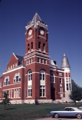 | Haralson County Courthouse | building | 1974 | 74000688 |
| North Tallapoosa Residential Historic District | district | 2003 | 03000405 | |
| Tallapoosa Commercial Historic District | district | 2016 | 16000246 |
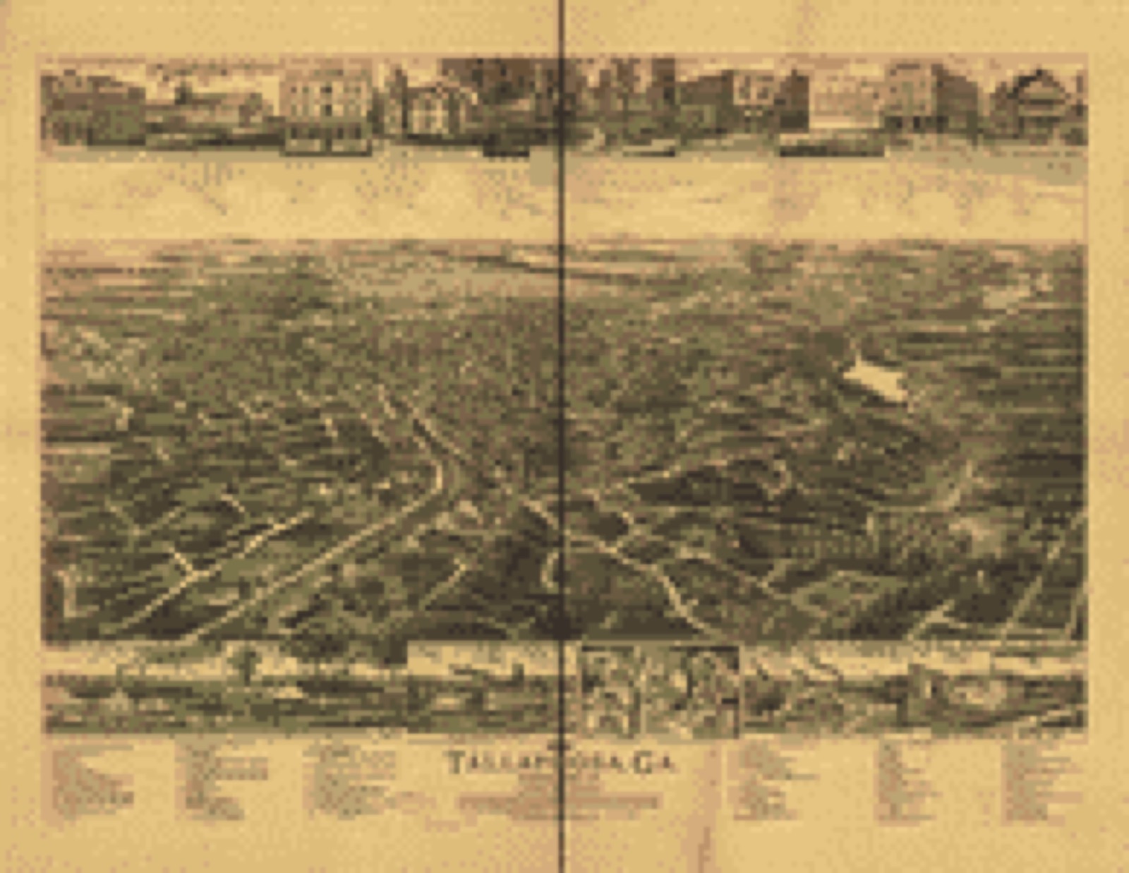
Drawn when these were printed as single large sheets: the town seen from the air, and the county divided into its farms with every owner named. Each opens the original at the Library of Congress.
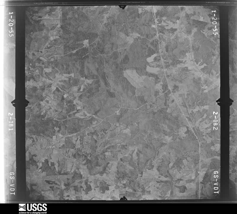
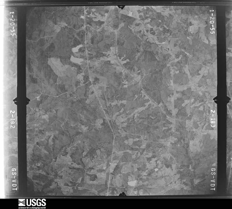
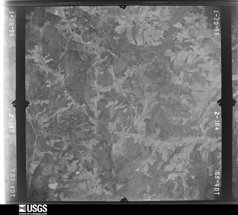
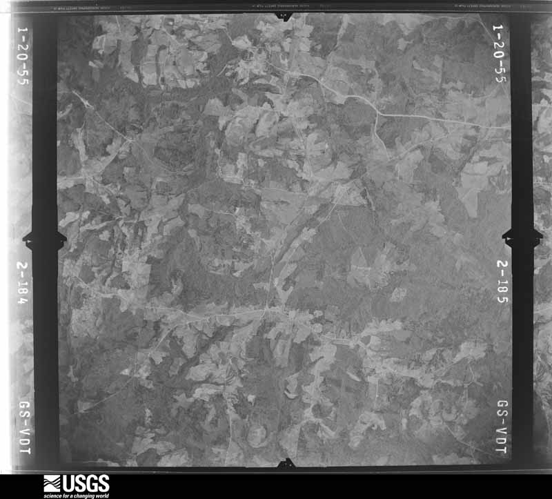
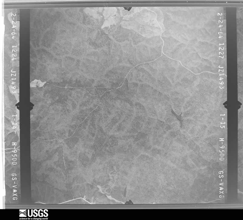
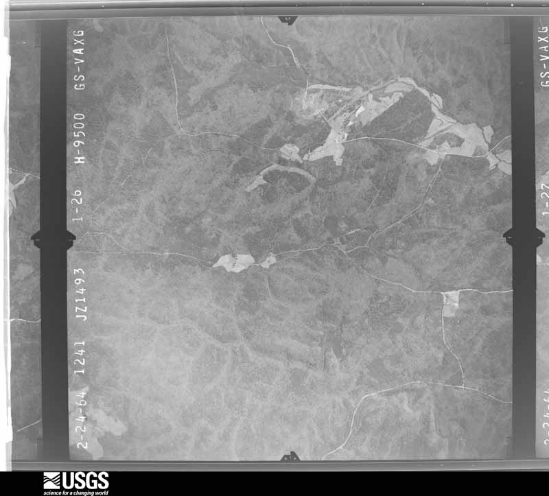
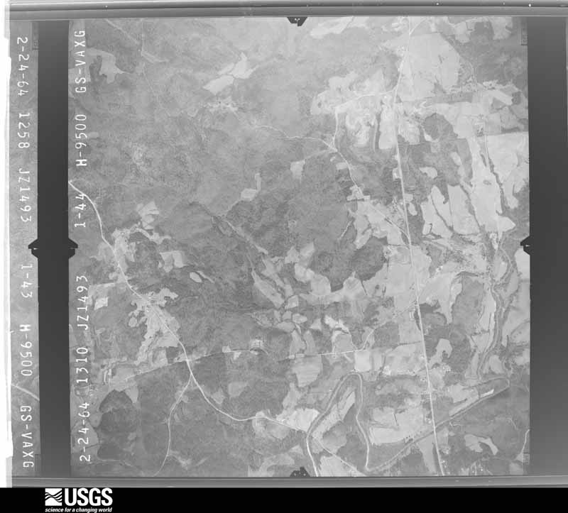
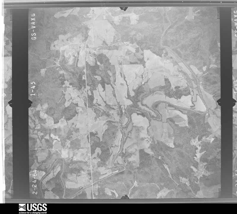
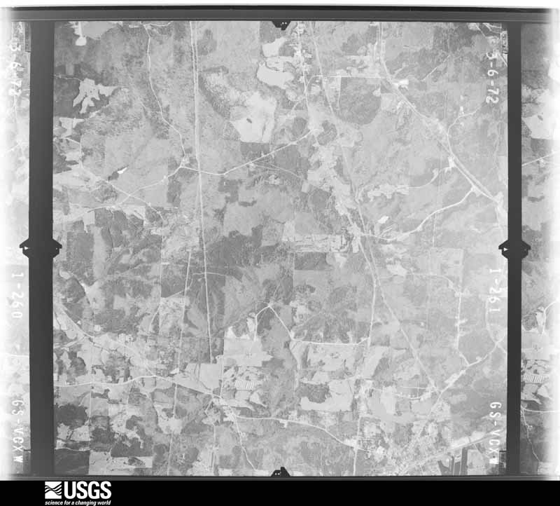
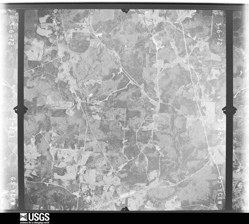
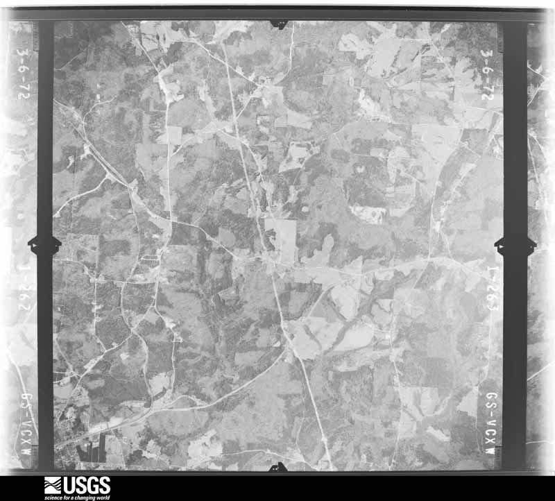
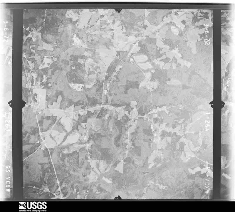
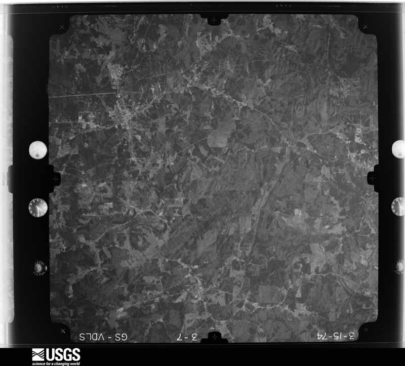
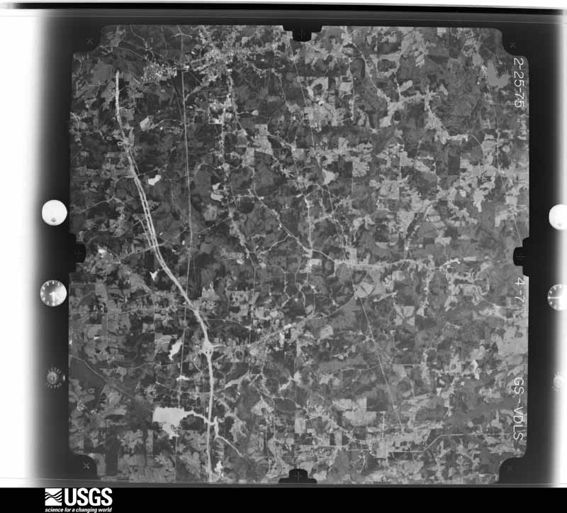
Flown by the U.S. Geological Survey between 1937 and 1989, the Aerial Photo Single Frames collection is the definitive mid-century view of the land: fields, roads and rivers as the camera saw them. The Survey holds 669 frames inside the rectangle that bounds this county; the 32 frames below were taken over the county itself, chosen across the decades of flights (at most four a year from that rectangle), so one flight cannot crowd out the rest. The full set is free to browse and download at EarthExplorer under the dataset Aerial Photo Single Frames.


















The thermometers that kept this county's weather, and the gages that measured the flow of its streams, as the federal records hold them. The extremes below are measured values from those records, not estimates.
Who lived here in 1950, one enumeration district at a time, as the Census Bureau described each district. Each row opens its official National Archives result, with Population Schedules and ED Maps available there.
Every wildfire the federal occurrence database records inside this county: 2,067 of them, burning about 10,561 acres. 26 started naturally and 1,160 were recorded as arson. Each settlement page carries the fires within five miles of it.
| Reported cause | Fires |
|---|---|
| Arson/incendiarism | 1160 |
| Debris and open burning | 640 |
| Equipment and vehicle use | 72 |
| Recreation and ceremony | 70 |
| Missing data/not specified/undetermined | 44 |
| Misuse of fire by a minor | 30 |
| Natural | 26 |
| Railroad operations and maintenance | 14 |
| Smoking | 11 |
The five largest, by the area the report gives. 7 of them were set deliberately.
| Date | Cause | Size | Reported by | Name on the report |
|---|---|---|---|---|
| 19 November 2016 | Arson/incendiarism | 1,350 acres | Georgia Forestry Commission | FY2017-HARALSON-058 |
| 10 November 2016 | Arson/incendiarism | 464 acres | Georgia Forestry Commission | FY2017-HARALSON-051 |
| 23 March 1998 | Arson/incendiarism | 176 acres | Georgia Forestry Commission | not named |
| 7 April 2013 | Arson/incendiarism | 147 acres | Georgia Forestry Commission | FY2013-HARALSON-087 |
| 11 March 2004 | Debris and open burning | 139 acres | Georgia Forestry Commission | not named |
| 4 April 1999 | Arson/incendiarism | 136 acres | Georgia Forestry Commission | not named |
| 4 March 2006 | Arson/incendiarism | 114 acres | Georgia Forestry Commission | not named |
| 4 April 2004 | Arson/incendiarism | 93 acres | Georgia Forestry Commission | not named |
Every settlement page carries the fires within five miles of it - see the settlement index below.
The NOAA Storm Events Database holds 206 reports for this county, causing 1 death, 19 injuries and about $13,244,450 in recorded property damage. Each settlement page carries the reports that name it.
| Kind of event | Reports |
|---|---|
| Thunderstorm Wind | 105 |
| Hail | 63 |
| Tornado | 23 |
| Flash Flood | 5 |
| Flood | 5 |
| Lightning | 5 |
The most serious of them, by death, then injury, then recorded damage. The accounts are quoted exactly as the forecast office filed them.
| When | Event | Place named | Harm | What the report says |
|---|---|---|---|---|
| April 1974 | Tornado (F2) | not stated | 1 killed, 5 hurt, $2,500,000 | no account filed |
| November 1974 | Tornado (F1) | not stated | 6 hurt, $2,500,000 | no account filed |
| May 1999 | Tornado (F2) | Bremen | 3 hurt, $400,000 | The tornado continued northeast from Carroll county and crossed into Haralson county southwest of Bremen. There was heavy damage to a mobile home dealership in Bremen, where around 35 mobile homes were damaged or destroyed. Debris was tossed across the highway. The tornado continued northeast and did damage at the Maple Creek golf course before lifting. Newspaper accouints said three people in Haralson county were taken to the hospital with fractures. |
| March 2018 | Tornado (EF1) | Buchanan | 2 hurt, $300,000 | A National Weather Service survey team found that an EF1 tornado with maximum wind speeds of 90 mph and a maximum path width of 500 yards occurred on the west side of the city of Buchanan. The tornado touched down north of the New Vision Church of God cemetery and travelled south southeast snapping and uprooting small trees. The tornado intensified and grew in size as it crossed Highway 120 west of the Highway 27 Business Route, reaching its peak in intensity and width south of the highway along Tallapoosa Street. Several large trees were uprooted with one falling on and destroying a home on Tallapoosa Street, seriously injuring two people inside the home. The tornado continued a short distance to the south southeast before dissipating quickly between Jeffers Street and Macedonia Church Road west of Highway 27 Business Route. [03/19/18: Tornado #2, County #1/1, EF-1, Haralson, 2018:006]. |
| April 1964 | Tornado (F3) | not stated | 2 hurt, $25,000 | no account filed |
| March 2012 | Tornado (EF3) | Little Creek | 1 hurt, $750,000 | An EF-1 tornado touched down at approximately 8:09 PM in Haralson County near Cross Roads Church Road and Tallapoosa Highway, uprooting and snapping trees for several miles. The tornado strengthened to an EF-3 along Bethlehem Church Road where a house collapsed and a repair shop was destroyed. One person was injured when the house collapsed into the basement, where he was taking shelter. At that residence, two dogs were killed. A cow died in a nearby field. The tornado continued across Haralson County, crossing Highway 27 where dozens of trees where snapped and uprooted. As the tornado continued east, minor damage was sustained to a church where a steeple was blown off. Hundreds of trees were down in forested areas in the eastern portions of Haralson County. The tornado continued into Paulding County where it lifted near McClure Trail and McClure Drive around 8:50 PM.||[03/02/12: Tornado #1, County #1-2, EF3, Haralson, 2012:005]. |
| May 2003 | Flash Flood | Countywide | $1,300,000 | The Haralson county Sheriff reported that numerous roads were flooded, impassable, and closed. In addition, several creeks were flowing out of their banks, including Beech Creek near Waco. The Haralson county Emergency Management Director later reported that up to 62 roads in the county received damage from the flooding, eight of which were washed out and impassable pending major repairs. One home was totally destroyed when a large tree fell through the house as the result of flood waters washing away the roots. In addition, an earthen dam on a small lake in a subdivision was on the verge of being breached and threatening homes in the area |
| July 2007 | Thunderstorm Wind | Bremen | $750,000 | The Haralson County Emergency Management Director reported that a poultry farm between Bremen and the Carroll county line near Temple was destroyed from an apparent thunderstorm downburst or microburst. A number of trees were down in the area of the poultry farm and were twisted about with sheet metal from the damaged poultry facility. Damage to the poultry farm alone was valued at $0.75M. A couple of trees were also down in the southern part of the county. |
| December 2008 | Tornado (EF0) | Tallapoosa | $600,000 | A damage survey conducted by the National Weather Service Forecast Office in Peachtree City, GA concluded that a brief EF0 tornado touched down at the Haralson County High School, approximately three miles east-northeast of Tallapoosa. The tornado traveled on the ground between 100 and 150 yards with a maximum path width of 50 yards. The main classroom building suffered the majority of the damage, where a heating and air conditioning unit was blown off the roof and into the adjacent parking lot, causing minor damage to a few cars. A few windows were also broken and an outdoor scoreboard was destroyed. Several small trees on the campus were snapped, including one which fell onto the visitor's bleachers. |
| March 2018 | Thunderstorm Wind | Hooper | $500,000 | A National Weather Service survey team found an area of intense thunderstorm wind damage in Haralson County. Thousands of trees were blown down in a swath approximately 8 miles long and almost 2 miles wide. The damage originated along Broad Street at the Alabama/Georgia state line and swept east into northern sections of the town of Tallapoosa. A secondary surge of wind extended this path eastward along Highway 120 from the northern sections of Tallapoosa to Macedonia Church Road near Haralson County Middle School. Many trees fell onto and damaged homes and other structures. No injuries were reported. |
| March 2018 | Tornado (EF1) | Hooper | $300,000 | A National Weather Service survey team found that the tornado that struck Jacksonville, AL moved into Georgia as an EF1 with a maximum wind speed of 95 mph and a maximum path width of 400 yards. The tornado entered Georgia northwest of Tallapoosa along Broad Street, snapping and uprooting trees along the road as it moved east for about a mile before ending on Edgar Little Circle between Broad Street and Womack Road. A large Oak tree fell on a home about 1/4 of a mile east of the state line resulting in extensive damage. No injuries were reported. [03/19/18: Tornado #1, County #1/1, EF-1, Haralson, 2018:005]. |
| April 1998 | Tornado (F1) | Tallapoosa | $300,000 | Sight survey by a NWS employee confirmed an F0-F1 tornado. One mobile home was destroyed and 36 other homes, 7 businesses and 2 churches were damaged. Several vehicles were damaged and many trees were downed. There were no reported injuries but 3 families had to move into temporary shelters.The damage path began just inside the Georgia border from Alabama and ended just west of Tallapoosa. |
| February 2001 | Thunderstorm Wind | Countywide | $250,000 | The Haralson county Emergency Management Director and the Haralson Gateway Beacon newspaper reported extensive damage throughout the county caused by strong thunderstorm winds. On Estavanko Loop, outside Buchanan, a tree crashed through the residence of a home. In Buchanan, on Macedonia Church Road, the roof was blown off one of the buildings at the Tallatoona Head Start educational facility. At the Big Oak RV Park, near Interstate 20 and Georgia Highway 100, near Tallapoosa, a tree fell on a 2001 Dodge Ram pickup truck. In Bremen, a roof was blown off a beauty shop adjacent to a residence while in nearby Waco, a tree fell on the newly completed fellowship hall at the Waco Baptist church. In Tallapoosa trees were reported down at several residences, two of which fell on homes causing structural damage. Numerous trees, many of which were large oaks, were reported down throughout the county. |
| March 1989 | Tornado (F1) | not stated | $250,000 | no account filed |
| May 1984 | Tornado (F1) | not stated | $250,000 | no account filed |
| April 2013 | Hail | Old Tallapoosa | $247,000 | The public reported golf ball sized hail on Highway 100 north of Tallapoosa. |
| April 2017 | Hail | Budapest | $244,000 | The Haralson County Emergency Manager reported golf ball size hail at the intersection of I-20 and Highway 16. |
| March 2008 | Hail | Tallapoosa | $172,000 | An amateur radio operator reported golf ball-sized hail in the Tallapoosa area. |
| March 2018 | Thunderstorm Wind | Buchanan | $150,000 | A National Weather Service survey team found an area of intense thunderstorm wind damage in Haralson County. Hundreds of trees were blown down in a swath over one mile long and 650 yards wide. The damage originated west of Highway 27 and north of Old Jacksonville Road, sweeping southward to the northwest side of the city of Haralson. Some trees fell onto and damaged homes and other structures. No injuries were reported. |
| March 2018 | Hail | Hooper | $150,000 | The public reported golf ball size hail at the State of Georgia Welcome Center on I-20 near the Alabama state line. |
| March 2013 | Thunderstorm Wind | Old Tallapoosa | $150,000 | The Haralson Gateway-Beacon reported that numerous trees and power lines were blown down from Tallapoosa to Bremen. Several buildings in Tallapoosa sustained minor damage. The Tally Mountain Golf Course had between 400-500 trees blown down and a fence and a porch destroyed. In Bremen, several signs were damaged and a business sustained roof damage. |
| June 1998 | Thunderstorm Wind | Tallapoosa | $100,000 | The Haralson county EMA director and the public reported severe thunderstorm wind damage across Haralson county. There were 7 homes and 2 businesses damaged. Numerous trees were blown down. One tree fell on a house and another on a vehicle. There were 10 roads blocked by fallen trees. |
| April 2011 | Thunderstorm Wind | Tallapoosa | $75,000 | The Haralson County 911 Center reported that there were many downed trees across the county. In addition, a tree had fallen on a home in Tallapoosa causing damage to the structure and an adjacent vehicle. |
| February 2018 | Tornado (EF0) | Bremen | $50,000 | A National Weather Service survey team found that an EF0 tornado with maximum wind speeds of 85 MPH and a maximum path width of 250 yards touched down on the west side of Bremen north of Tallapoosa Street between Ayers Street and Sewell Road. The tornado then moved northeast paralleling Tallapoosa Street. On Kaiser Street, multiple large trees were snapped near their base or uprooted, including one that fell onto a duplex causing substantial damage to the roof, walls, a carport and two nearby vehicles. The tornado continued northeast, snapping and uprooting several more trees between Church Street and Gordon Street. The tornado dissipated around the intersection of Pine Street and the Bryan Street Bypass. [02/07/18: Tornado #1, County #1/1, EF-0, Haralson, 2018:001]. |
| June 2018 | Thunderstorm Wind | Steadman | $50,000 | The Haralson County Emergency Manager reported six to seven large trees blown down at Jacksonville Road and Pleasant Hill Church Road. One tree crashed through a house. No injuries were reported. |
| July 2012 | Thunderstorm Wind | Old Tallapoosa | $50,000 | The Haralson County 911 Center reported that nine trees were blown down in the Tallapoosa area, including several along Highway 120. Two of the trees fell on houses. |
| April 2006 | Lightning | Buchanan | $50,000 | The Haralson County Emergency Management Director reported that lightning caused a structural fire at a commercial building. The damage amount was undertermined. |
| April 2006 | Lightning | Countywide | $50,000 | The Haralson Gateway Beacon reported that lightning ignited several fires around the county. The most significant ones destroyed two outbuildings, one on Kings's Ginn Road and another on Georgia Highway 120. Both structures were declared a total loss. The second outbuilding also housed a four-wheeler, tractors, and other outside equipment, all of which was destroyed by the fire. |
| April 2006 | Thunderstorm Wind | Countywide | $50,000 | The Haralson Gateway Beacon reported that 50 to 75 trees were blown down by thunderstorm winds throughout the county, mostly across the western portion of the county. The Haralson County 911 Center reported that many trees were blown down throughout the county. A trailer was also turned over and several outbuildings were damaged. |
| May 1994 | Thunderstorm Wind | Buchanon | $50,000 | Thunderstorm winds produced minor to moderate damage to three homes and two mobile homes. |
| April 2013 | Tornado (EF0) | Hooper | $30,000 | A National Weather Service storm survey team determined that an EF-0 tornado touched down just south of Interstate 20 near Chandler Road. The tornado continued northeast, crossing Kings Gin Road and along Thomas Road, snapping and uprooting several dozen trees. Three homes on Kings Gin Road sustained minor roof damage where shingles or a portion of the roof was peeled back. The tornado crossed Interstate 20, knocking over several trees on both east and westbound sides, just east of where Old Georgia 100 crosses the interstate. The tornado continued across Dr. King Road and Petty Road, snapping and uprooting trees and just missing a large manufacturing center. The tornado continued northeast and began to weaken as it headed across State Highway 100, Daniel Road, and U.S. Highway 78. Several trees were uprooted and snapped along that path and a flower shop sustained minor roof damage at the intersection of U.S. Highway 78 and Old Ridgeway Road. The tornado lifted shortly after crossing Highway 78. |[04/11/13: Tornado #1, County #1-1, EF0, Haralson, 2013:005]. |
| January 2020 | Thunderstorm Wind | Waco | $25,000 | The broad cast media reported a wall was blown in at a store in Bremen. |
| August 2019 | Thunderstorm Wind | Buchanan | $25,000 | The Haralson County Emergency Manager reported more than a dozen trees down along with a few power lines across the city of Buchanan. |
| February 1999 | Thunderstorm Wind | Countywide | $25,000 | Haralson county 911 reported trees and power lines knocked down across the county by thunderstorm winds. A HAM radio operator reported numerous trees down in the area east and northeast of Buchanan. |
| April 1989 | Tornado (F1) | not stated | $25,000 | no account filed |
| April 1979 | Tornado (F1) | not stated | $25,000 | no account filed |
| March 1973 | Tornado (F1) | not stated | $25,000 | no account filed |
| June 1972 | Tornado (F1) | not stated | $25,000 | no account filed |
| March 1968 | Tornado (F2) | not stated | $25,000 | no account filed |
| November 1967 | Tornado (F2) | not stated | $25,000 | no account filed |
| November 1967 | Tornado (F1) | not stated | $25,000 | no account filed |
| December 1961 | Tornado (F1) | not stated | $25,000 | no account filed |
| December 1961 | Tornado (F1) | not stated | $25,000 | no account filed |
| March 2021 | Lightning | Buchanan | $20,000 | The Haralson County Emergency Manager reported that lightning struck a house causing a fire. |
| July 2007 | Thunderstorm Wind | Waco | $20,000 | The Haralson County Emergency Management Director reported that a barn located on Old Pleasant Hill Road was moved off its foundation by thunderstorm wind gusts. He noted that 66 support posts on the structure were pulled out of the ground. Several trees were also down in the vicinity. The public measured wind gusts at 60 mph. |
| March 2017 | Thunderstorm Wind | Steadman | $15,000 | The Haralson County Emergency Manager reported trees blown down across the county from west and north of Tallapoosa, across Buchanan to northwest of Draketown. Some locations include Wildcat Road, U.S. Highway 27 Business and West Head Avenue, J. Davis Road near U.S. Highway 78, Old Ridgeway Road at Old Bush Mill Road, and 5 Points Road at Allred Road. Parts of a metal roof were blown off an outbuilding in the Piney Woods area. |
| July 2000 | Thunderstorm Wind | Buchanan | $15,000 | Amateur radio operators reported trees down along Old Ridgeway Road and Morgan Road between Buchanan and Waco. The public reported trees down on a mobile home in Waco. |
| April 2020 | Thunderstorm Wind | Buchanan | $10,000 | Multiple reports of trees down around Buchanan. Time estimated from radar. |
| June 2018 | Thunderstorm Wind | Little Creek | $10,000 | The Haralson County 911 center reported at least a dozen trees blown down across the northern end of the county, including along Bethlehem Church Road near the Bethlehem Baptist Church. |
| May 2017 | Thunderstorm Wind | Tabernacle | $10,000 | The Haralson County 911 center reported numerous trees and power lines blown down across the county from northwest through southeast of Buchanan. Locations include Morgan Road at McBrayer Road, around the intersection of Jacksonville Road and Old Jacksonville Circle, Highway 120 and Jacksonville Road, McWhorter Circle, Alabama Avenue at Valley Run Drive, and around the intersection of Morgan Road and Cashtown Road. |
| June 2015 | Thunderstorm Wind | Morgan | $10,000 | The Haralson County Emergency Manager reported around a dozen trees blown down. |
| February 2008 | Thunderstorm Wind | Bremen | $10,000 | The Haralson County 911 Center reported that dozens of trees were blown down across the county from strong thunderstorm straight-line winds. |
| November 2004 | Thunderstorm Wind | Bremen | $10,000 | The Bremen Police Department reported that many trees were blown down in the Bremen area. In addition, a front porch and back patio were blown off a home. |
| April 2020 | Thunderstorm Wind | Draketown | $8,000 | Multiple trees down near the intersection of Mood Road and Frances White Road. |
| July 2017 | Thunderstorm Wind | Dugdown | $8,000 | The Haralson County 911 center reported several trees blown down across the northern part of the county from northwest through northeast of Buchanan. Locations include Monroe Mill Road, 5 Points Road and near the intersection of Floyd Road and Mountain View Road. |
| June 2017 | Thunderstorm Wind | Steadman | $7,000 | The Haralson County 911 center reported trees blown down from north of Tallapoosa to Buchanan. Locations include Broad Street near the Alabama state line, Wildcat Road, Highway 100 near Poplar Springs Church Road and Highway 120 at Jacksonville Road. |
| July 2016 | Thunderstorm Wind | Old Tallapoosa | $6,000 | The Haralson County 911 center reported several trees and power lines blown down along Highway 78 near Tallapoosa. |
| March 2025 | Thunderstorm Wind | Bremen | $5,000 | Multiple trees down on s rt 100 near highway 78 . |
| August 2023 | Thunderstorm Wind | Old Tallapoosa | $5,000 | Multiple trees down around Tallapoosa and Buchanan. |
| June 2020 | Thunderstorm Wind | Old Tallapoosa | $5,000 | The Haralson County Emergency Manager reported 5 trees blown down along Broad Street in Tallapoosa. |
The Survey's mineral resources record lists 34 workings inside this county. None of them still produces: all are closed or unrecorded. Each settlement page carries the workings within five miles of it.
| Commodity | Workings |
|---|---|
| Gold | 10 |
| Sulfur | 8 |
| Manganese | 6 |
| Copper | 4 |
| Iron | 3 |
| Iron-Pyrite | 2 |
| Nickel, Cobalt | 1 |
| Iron-Pyrite, Copper | 1 |
| Zinc | 1 |
| Cobalt, Nickel | 1 |
| Cobalt | 1 |
| Nickel | 1 |
The least common of them first, because a county's hundredth gravel pit says nothing its first ten did not.
| Where | Site | Commodity | Status | Recorded |
|---|---|---|---|---|
| Smith-Candless Prospect | Cobalt, Nickel | Occurrence | ||
| Smith-Mccandless | Iron-Pyrite, Nickel, Cobalt | Occurrence | Massive Sulfide | |
| Tallapoosa Mine | Iron-Pyrite, Copper, Zinc | Past Producer | Stratabound Concordant Massive Sulfide | |
| Tallapoosa Mine | Copper, Cobalt, Nickel | Past Producer | ||
| Reeds Mt. Mine | Iron-Pyrite | Past Producer | Vein | |
| Frazier-King Mine | Iron | Past Producer | ||
| Reeds Mountain Mine | Sulfur, Iron | Past Producer | ||
| T.R. King Property | Iron | Past Producer | Residual | |
| Smith-Mccandless Mine | Copper | Past Producer | ||
| Tallapoosa Copper Mine | Copper | Past Producer | ||
| Tallapoosa Mine | Copper | Past Producer | ||
| Douglas Prospects | Manganese | Past Producer | 1896 | |
| Draketown Dist. (Douglas Mn Prospect & Statham Property) | Manganese | Past Producer | Residual | |
| Gober Property | Manganese | Occurrence | 1908 | |
| King Property | Manganese | Occurrence | 1919 | |
| W.M. Raburn Property | Manganese | Occurrence | 1919 | |
| Westbrook Property | Manganese | Occurrence | 1919 | |
| Ada Mrs W M Raburn Prospect | Sulfur | Occurrence | ||
| H P Blackmon Prospect | Sulfur | Prospect | ||
| J Humphrey Prospect | Sulfur | Occurrence | ||
| Jackson-Mcbride Prospect | Sulfur | Occurrence | ||
| W J Speight Prospect | Sulfur | Prospect | ||
| W M Raburn Prospect | Sulfur | Occurrence | ||
| W T Raburn Prospect | Sulfur | Occurrence | ||
| Crew Prospect | Gold | Occurrence | Stream Placer | |
| Dean Property | Gold | Past Producer | Stream Placer | |
| Edwards Mine | Gold | Past Producer | Stream Placer | |
| Hollins (Royal) Mine | Gold | Past Producer | Vein | |
| J.W. Thomason's Property | Gold | Occurrence | Stream Placer | |
| McBrayer's Property | Gold | Occurrence | Stream Placer | |
| No Name | Gold | Past Producer | Vein | |
| No Name | Gold | Past Producer | Vein | |
| No Name | Gold | Past Producer | Stream Placer | |
| Royal Mine | Gold | Past Producer |
Named settlements recorded in the Geographic Names Information System, each with the topographic sheets covering it. Villages, hamlets and abandoned places alike. Each is shown with the nearest named watercourse or landform and the survey quadrangle it falls on. The 1 place that was also surveyed for fire insurance comes first, with the number of atlases and photographs held for them.
Tallapoosa census division · 30176 · Tallapoosa South quadrangle
15 sheets, 1889 to 1981
Fire insurance: 9 atlases
Buchanan census division · 30113 · On Cochran Creek · Buchanan quadrangle
16 sheets, 1889 to 1981
Bremen census division · 30110 · Near Reeds Mountain · Bremen quadrangle
15 sheets, 1889 to 1981
Bremen census division · 30110 · Near West Hill · Bremen quadrangle
15 sheets, 1889 to 1981
Buchanan census division · 30179 · On Mill Creek · Draketown quadrangle
16 sheets, 1889 to 1981
Tallapoosa census division · 30176 · On Walker Creek · Tallapoosa South quadrangle
15 sheets, 1889 to 1981
Buchanan census division · 30113 · On Little River · Buchanan quadrangle
16 sheets, 1889 to 1981
No longer a settlement
Tallapoosa census division · 30113 · On Little Creek · Benedict quadrangle
14 sheets, 1889 to 1981
Tallapoosa census division · 30176 · On Greene Creek · Tallapoosa North quadrangle
14 sheets, 1889 to 1981
Buchanan census division · 30113 · On Brooks Creek · Draketown quadrangle
16 sheets, 1889 to 1981
Tallapoosa census division · 30113 · On Flat Wood Creek · Tallapoosa North quadrangle
14 sheets, 1889 to 1981
Buchanan census division · 30176 · On Kiser Creek · Buchanan quadrangle
16 sheets, 1889 to 1981
Tallapoosa census division · 30176 · Near West Hill · Bremen quadrangle
15 sheets, 1889 to 1981
The vanished settlements of Haralson County: the places named above that are no longer on the map.
15 topographic sheets and 9 fire insurance atlases, 1888 to 1939
The complete index, with nothing left out. Each of these is a separate record with its own page: a federal survey report, or the case file that argued a property on to the National Register. Both are public domain and reproduced word for word.
The vanished settlements of Haralson County, the places these records name that are no longer on the map.