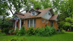
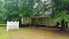
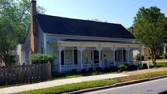
Block
From the record
36 National Register listings published here.
Sources: the National Register database, National Park Service
42 topographic sheets and 5 fire insurance atlases across 1 place.
36 National Register listings published here.
Sources: the National Register database, National Park Service
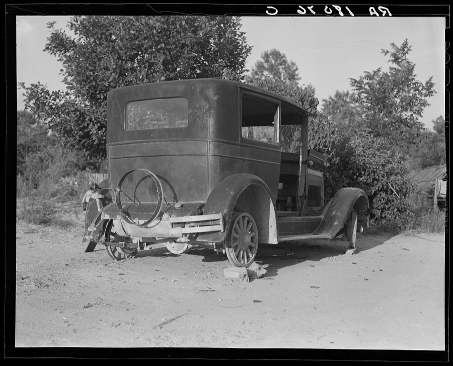
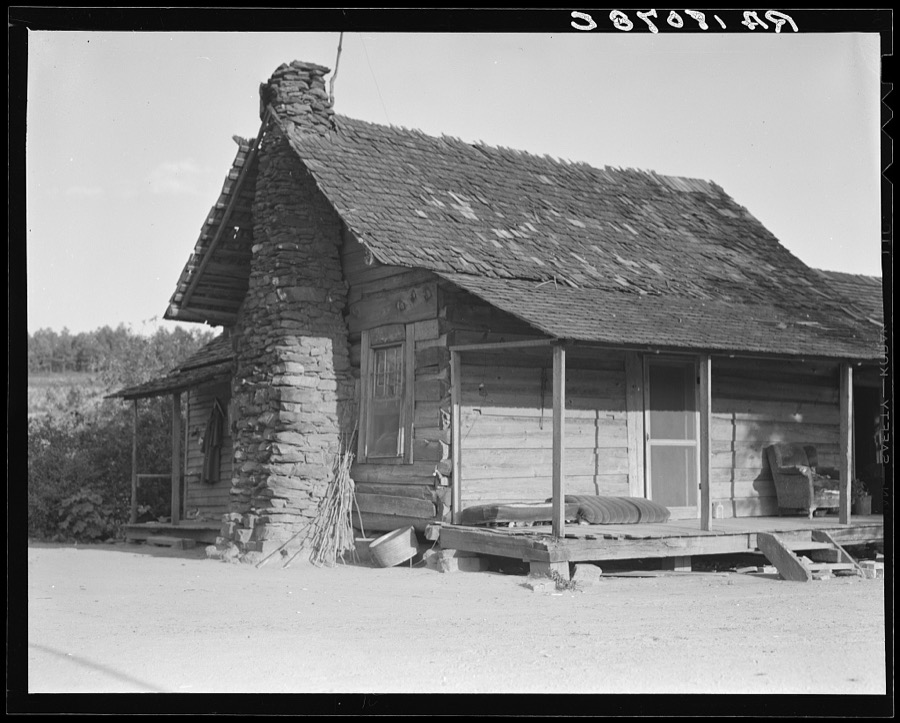
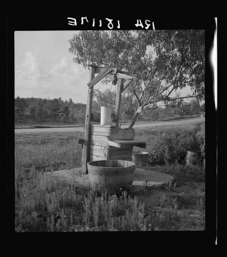
Taken for the Office of War Information and the Farm Security Administration, who photographed the country between 1935 and 1944. Works of United States government photographers, with no known restriction on use. Each opens its catalogue record.



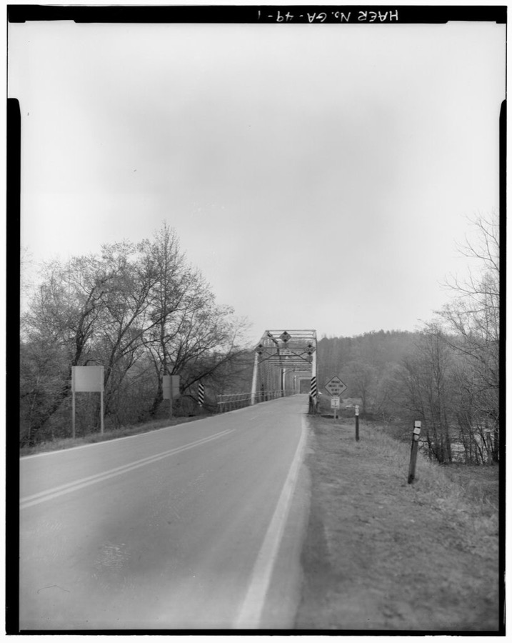
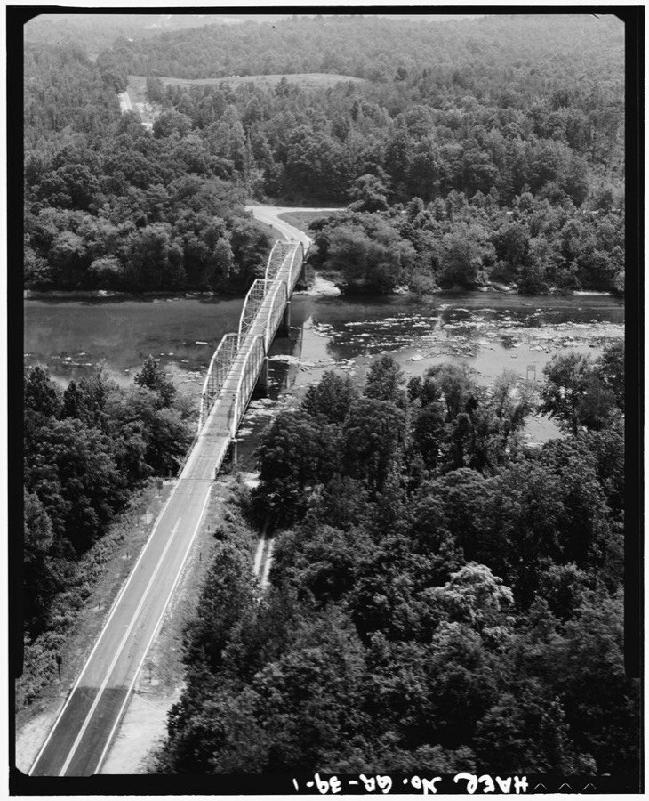
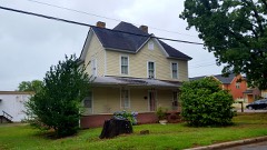
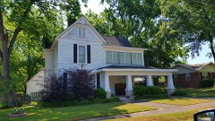
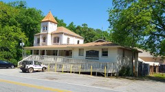
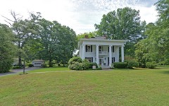
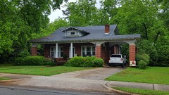
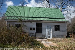
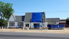
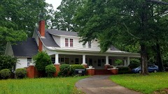
Every property in this county listed on the National Register of Historic Places, with the year it was listed and the federal nomination document.
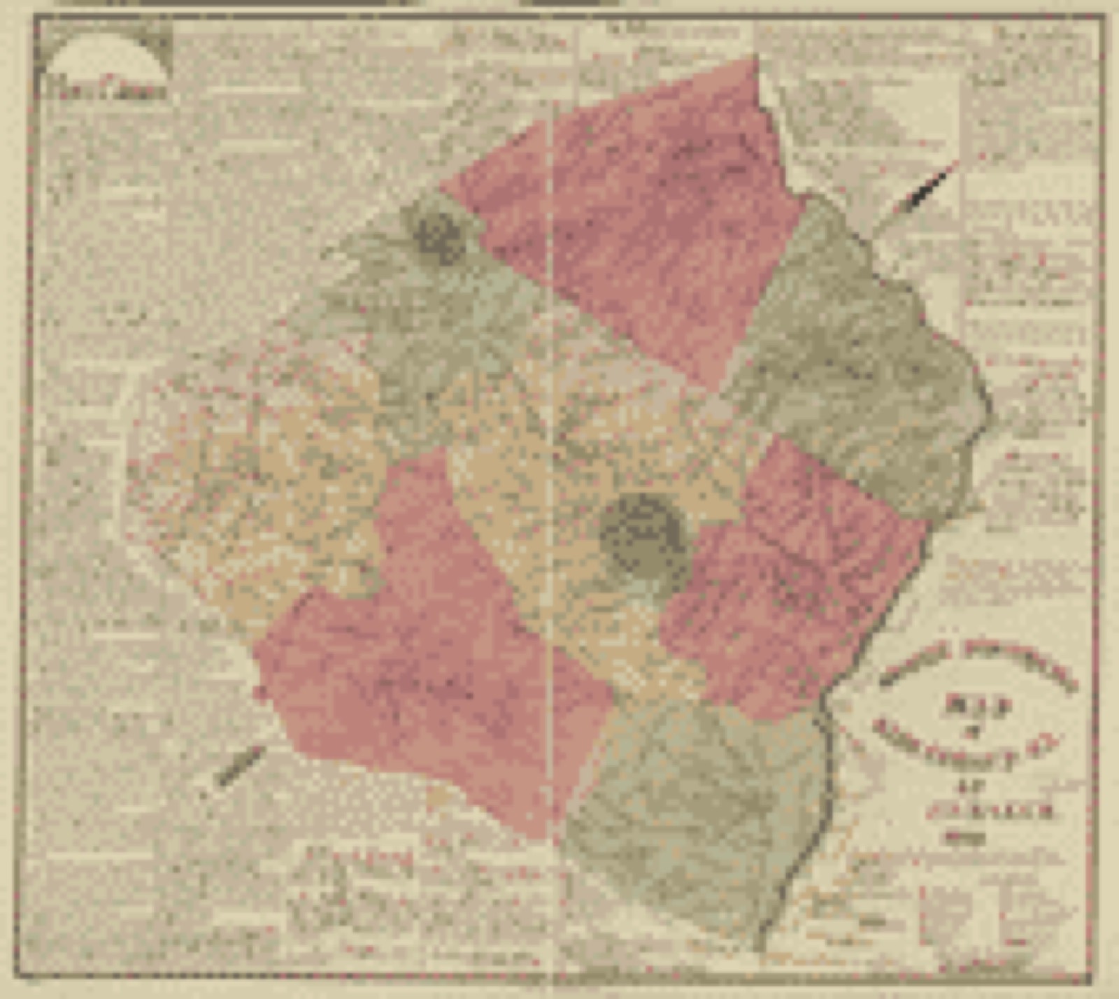
Drawn when these were printed as single large sheets: the town seen from the air, and the county divided into its farms with every owner named. Each opens the original at the Library of Congress.
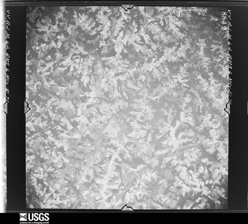
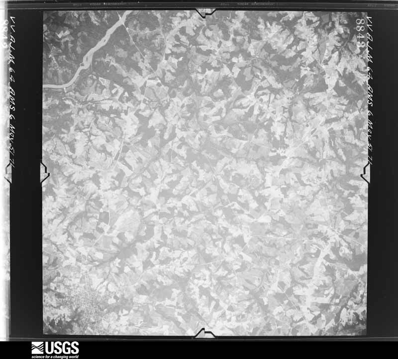
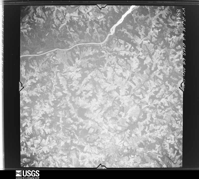
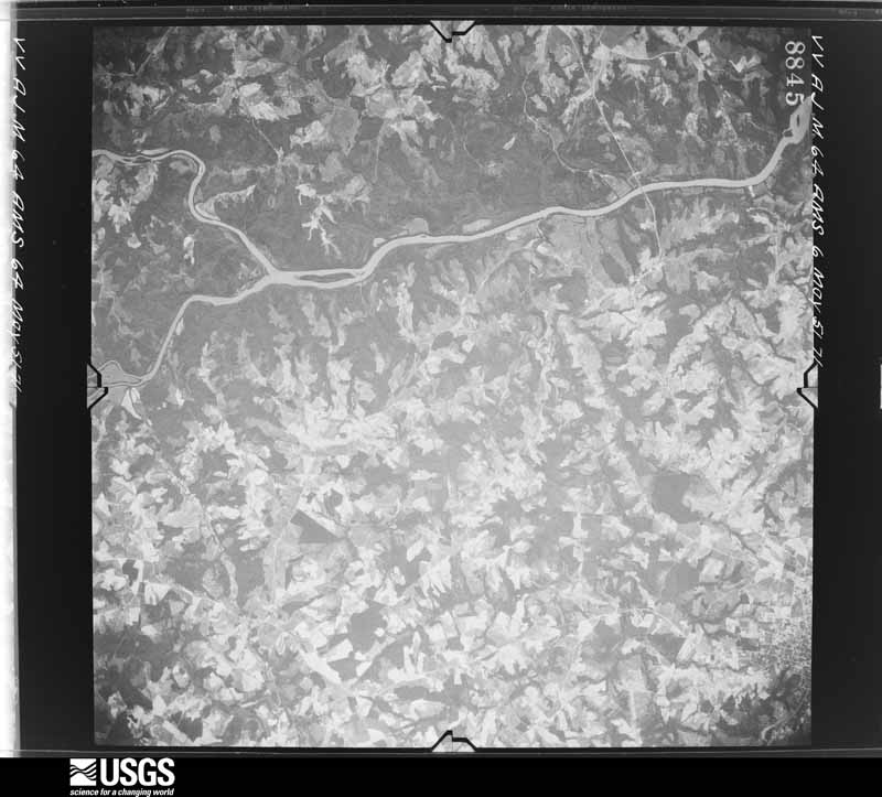
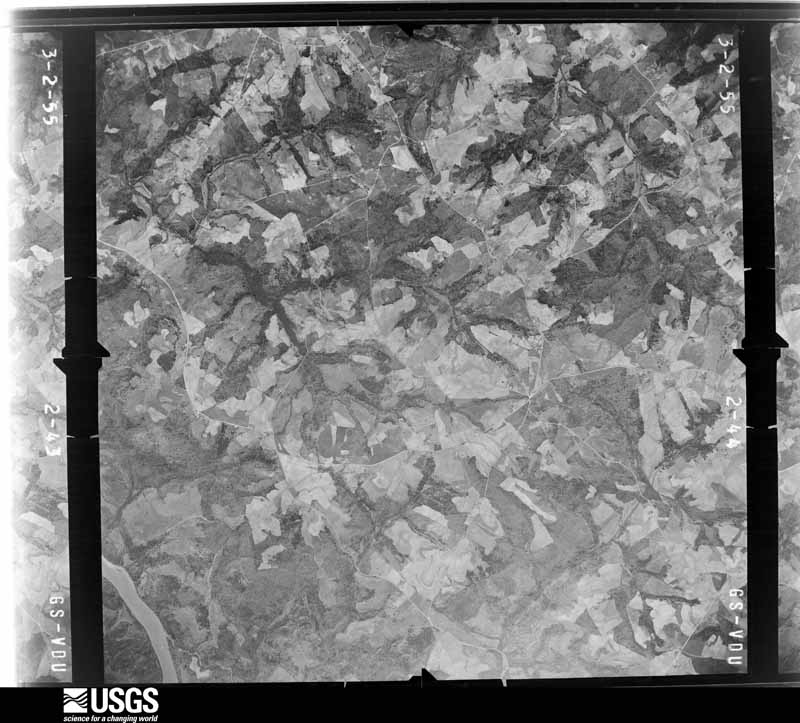
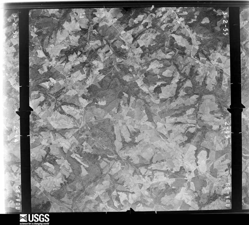
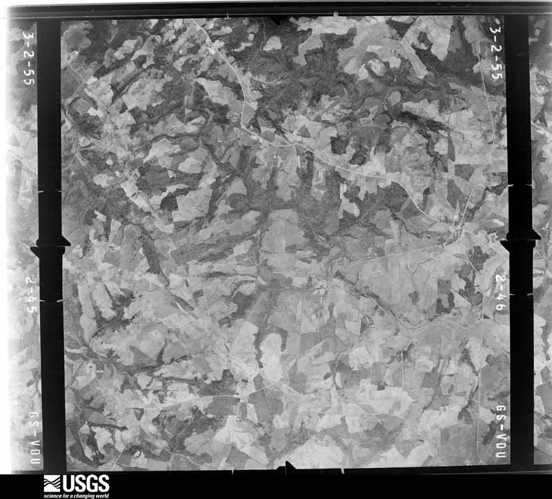
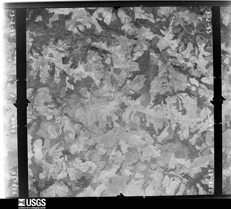
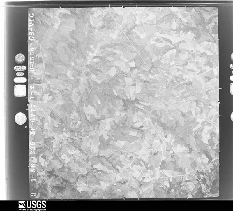
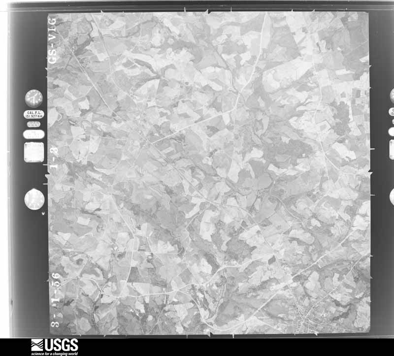
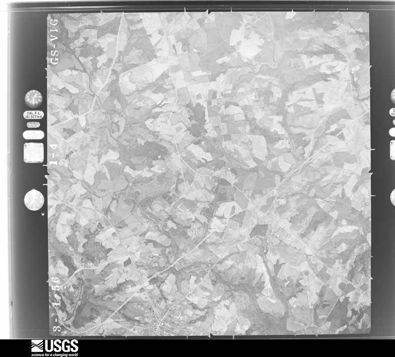
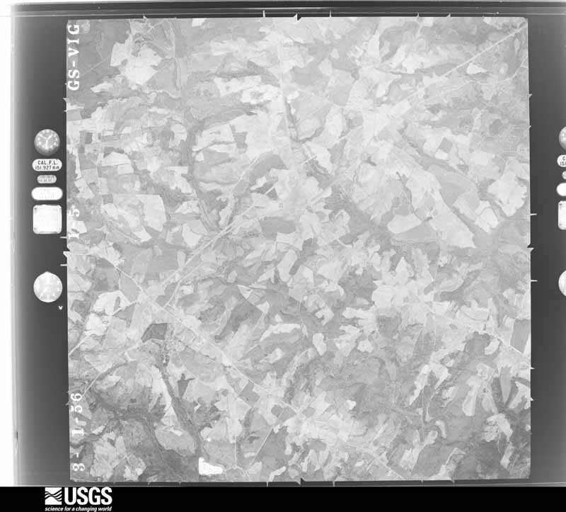
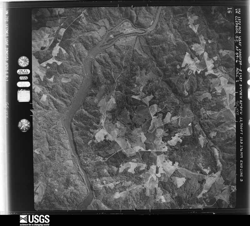
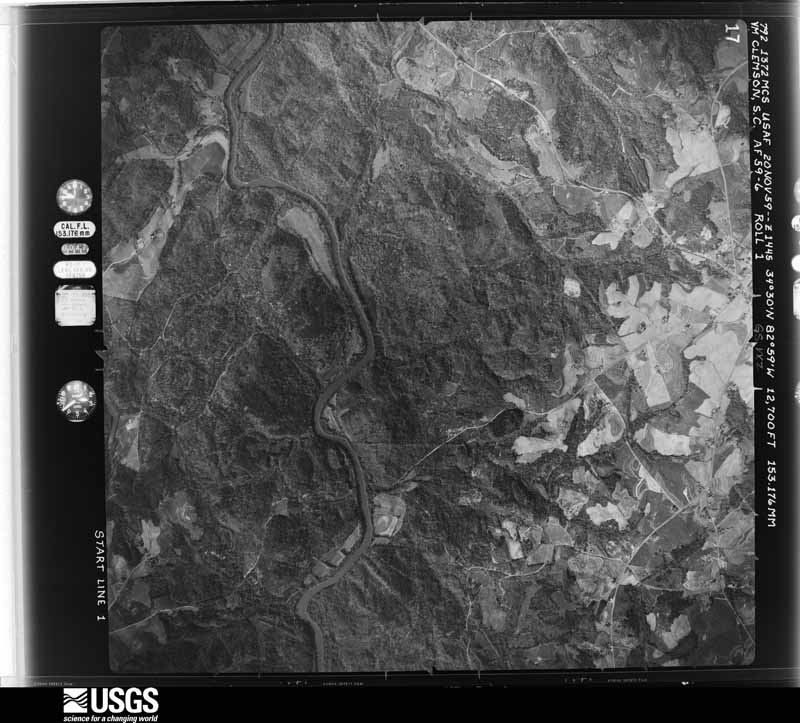
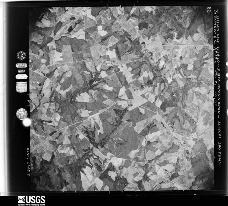
Flown by the U.S. Geological Survey between 1937 and 1989, the Aerial Photo Single Frames collection is the definitive mid-century view of the land: fields, roads and rivers as the camera saw them. The Survey holds 285 frames inside the rectangle that bounds this county; the 22 frames below were taken over the county itself, chosen across the decades of flights (at most four a year from that rectangle), so one flight cannot crowd out the rest. The full set is free to browse and download at EarthExplorer under the dataset Aerial Photo Single Frames.
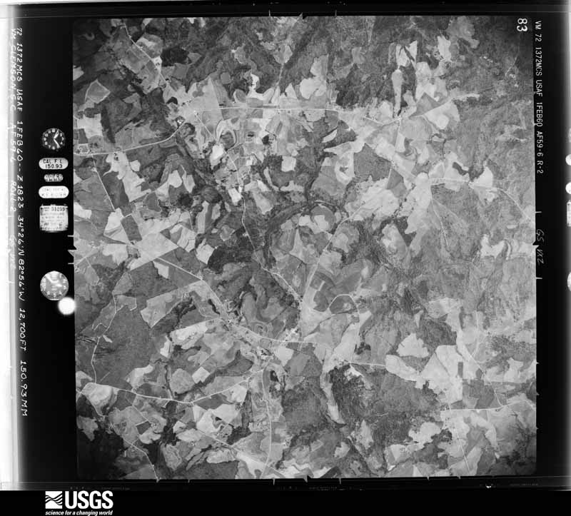
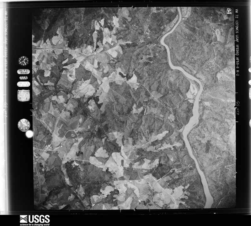




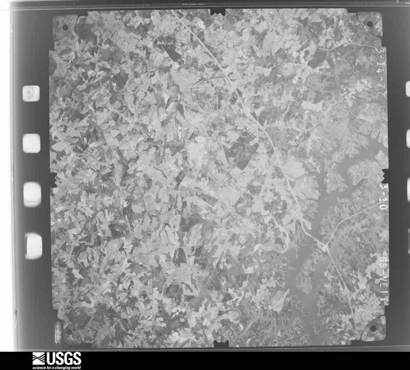
The thermometers that kept this county's weather, and the gages that measured the flow of its streams, as the federal records hold them. The extremes below are measured values from those records, not estimates.
Who lived here in 1950, one enumeration district at a time, as the Census Bureau described each district. Each row opens its official National Archives result, with Population Schedules and ED Maps available there.
Every wildfire the federal occurrence database records inside this county: 509 of them, burning about 1,094 acres. 14 started naturally and 39 were recorded as arson. Each settlement page carries the fires within five miles of it.
| Reported cause | Fires |
|---|---|
| Debris and open burning | 328 |
| Equipment and vehicle use | 63 |
| Arson/incendiarism | 39 |
| Missing data/not specified/undetermined | 25 |
| Natural | 14 |
| Misuse of fire by a minor | 12 |
| Smoking | 10 |
| Railroad operations and maintenance | 9 |
| Recreation and ceremony | 9 |
The five largest, by the area the report gives. Two of them were set deliberately.
| Date | Cause | Size | Reported by | Name on the report |
|---|---|---|---|---|
| 15 March 1995 | Arson/incendiarism | 66 acres | Georgia Forestry Commission | not named |
| 11 July 1996 | Equipment and vehicle use | 48 acres | Georgia Forestry Commission | not named |
| 17 June 2008 | Equipment and vehicle use | 31 acres | Georgia Forestry Commission | not named |
| 9 April 2001 | Arson/incendiarism | 26 acres | Georgia Forestry Commission | FY2001-HART-039 |
| 5 January 2018 | Debris and open burning | 21 acres | Georgia Forestry Commission | FY2018HART001 |
| 31 January 2001 | Debris and open burning | 21 acres | Georgia Forestry Commission | FY2001-HART-019 |
| 26 February 2000 | Debris and open burning | 20 acres | Georgia Forestry Commission | FY2000-HART-021 |
| 17 January 2000 | Debris and open burning | 18 acres | Georgia Forestry Commission | FY2000-HART-015 |
Every settlement page carries the fires within five miles of it - see the settlement index below.
The NOAA Storm Events Database holds 181 reports for this county, causing no deaths, 3 injuries and about $2,021,004 in recorded property damage. Each settlement page carries the reports that name it.
| Kind of event | Reports |
|---|---|
| Thunderstorm Wind | 115 |
| Hail | 42 |
| Tornado | 11 |
| Flash Flood | 9 |
| Lightning | 2 |
| Heavy Rain | 1 |
| Flood | 1 |
The most serious of them, by death, then injury, then recorded damage. The accounts are quoted exactly as the forecast office filed them.
| When | Event | Place named | Harm | What the report says |
|---|---|---|---|---|
| April 1970 | Tornado (F2) | not stated | 2 hurt, $25,000 | no account filed |
| August 1994 | Tornado (F1) | Hartwell | 1 hurt, $500,000 | A tornado touched down near the intersection of Moore and Hickory Crossing Roads, in the Cedar Creek Church community, halfway between Georgia Highways 77 and 172, in southcentral Hart County. The tornado destroyed two mobile homes, rolled a third over and lifted a fourth off its foundation in the Cedar Creek Church community. The tornado uprooted several large trees as it moved northwest across Scott Town Drive and lifted and dissipated near Landfill Road. Total damage to property was estimated at $320,000. |
| March 1993 | Tornado (F1) | not stated | $500,000 | A tornado briefly touched down near Newburg in southeast Hart County and ruptured two propone tanks and toppled 26 large trees. One large house under construction near Newburg was destroyed. |
| March 2021 | Thunderstorm Wind | Nuberg | $200,000 | Emergency manager reported five chicken houses collapsed off Woodland Way. A few tree limbs were blown down as well. |
| January 2001 | Thunderstorm Wind | Vanna | $150,000 | no account filed |
| February 2020 | Flash Flood | Shoal Creek | $100,000 | EM reported flash flooding developed across Hart County after up to 5.5 inches of rain fell across the county in around 24 hours, with much of that falling during the morning of the 6th. Numerous roads reportedly had water flowing of them due to a combination of poor drainage and small stream flooding, with around three dozen roads reportedly closed at the height of the event. Around a half dozen roads were washed out, including Deer Run Lane, Wisteria Cove Estate, Alexander Ray Road, Hill Road, and Jud Cole Road. Flood water infiltrated two homes, with one resident being evacuated. |
| May 2002 | Thunderstorm Wind | Hartwell | $100,000 | Wind damage was reported to a house, a school, and a mobile home. Numerous trees and powerlines were also blown down, some onto vehicles and homes. |
| April 2017 | Thunderstorm Wind | Goldmine | $60,000 | EM reported about a half dozen homes damaged in southern hart county, two by falling trees and the others with roofs partially torn off. Numerous trees were also blown down. Sporadic damage began on Airline-Goldmine Rd, with a damage swath increasing in intensity as it moved east across the Highway 29 corridor and Zion CME Church Rd, and was most concentrated around Liberty Hill Rd and Page Rd. |
| June 2025 | Thunderstorm Wind | Bowersville | $50,000 | Emergency manager and utility company reported multiple trees and power lines blown down throughout Hart County. A chicken house was also destroyed. |
| April 2019 | Tornado (EF0) | Air Line | $50,000 | NWS storm survey found a tornado damage path that began along Airline-Goldmine Rd. near the intersection with W M Price Rd. A large tree was uprooted and fell onto a home at this location. Another nearby home sustained shingle loss and the collapse of a small cinderblock wall. The shingles were lofted in a direction opposite of the uprooting of an adjacent large tree. The tornado track continued northeast across Bethany-Bowersville Rd. near the intersection with Kesler Rd. to Bert Moorhead Rd, where a barn sustained major loss of roof panels and a partial collapse of one wall. Additionally, a large tree with a diameter greater than 24 inches was uprooted and other large trees were also uprooted or sustained snapped branches. The track continued northeast through open fields and woodlands before another the damage path was picked up again along Jud Cole Rd. just north of Elgin Ln, where several trees were snapped or uprooted. A metal road sign was also snapped at its base. Free-standing carports were lofted and the roof rack of a SUV was detached from the vehicle and lofted several hundred feet. A metal barn sustained significant roof and wall damage while an adjacent home suffered damage to a single wall, which had bowed outward approximately 6-12 inches from its original position. The bowing was attributed to rapid pressure changes associated with the adjacent tornado. The tornado lifted and dissipated just east of Jud Cole Rd. |
| May 2003 | Tornado (F1) | Vanna | $50,000 | Although most of the damage associated with this tornadic circulation occurred in Madison County, some tree damage extended into extreme southwest Hart County. |
| May 1994 | Thunderstorm Wind | Hartwell | $50,000 | Thunderstorm winds burst the windows of a mobile home and picked up and moved a well house. Three vehicles on Georgia Highway 172 were damaged from trees downed by thunderstorm winds. |
| May 1994 | Thunderstorm Wind | Air Line | $50,000 | Thunderstorm winds toppled huge trees, shattered windows and downed home antennas across the community of Air Line. |
| January 2001 | Tornado (F1) | Vanna | $50,000 | no account filed |
| February 2020 | Flood | Shoal Creek | $25,000 | Although heavy rain tapered off across Hart County throughout the afternoon of the 6th, runoff from the day's excessive rainfall resulted in high water conditions persisting, with many roads remaining closed through the evening hours. |
| April 2020 | Thunderstorm Wind | Goldmine | $20,000 | County comms and newspaper reported dozens of trees blown down across Hart County, and the roof torn off of a large shed on Elberton Highway near Hartwell. |
| June 2001 | Lightning | Bowersville | $15,000 | Lightning traveled down two trees and killed 29 cows. Mother cows were laying with their legs sticking straight up in the air. |
| September 2004 | Tornado (F1) | Reed Creek | $5,000 | This brief tornado blew down numerous trees and power lines near Reed Creek. One tree fell on a house. |
| March 2003 | Thunderstorm Wind | Hartwell | $5,000 | Winds estimated at 80 mph blew several tractor trailer trucks off of I-85 near the South Carolina border. |
| June 2002 | Thunderstorm Wind | Hartwell | $5,000 | A dock was damaged at Lake Hartwell. Several trees were also blown down. |
| March 1993 | Tornado (F1) | Lake Hartwell | $5,000 | A tornado touched down and twisted or snapped in half 30 to 50 pine trees that ranged from 50 to 60 feet in height. Storm survey indicated that the trees were blown down in various directions. ~ IDAHO IDZ001>004-006,01,0000MST- *,15,2359MST,,,0,0,0,5,Weather Stress Agricultural agents in Bingham, Elmore, Lincoln, and Power Counties reported much higher than normal calf deaths due to weather related stress. The wetter than normal weather that occurred throughout the first 2.5 months of the year caused poor calving conditions and contributed to the onset and spread of scours in many of the new calves. Losses from the four counties were estimated at over $300,000. IDZ007,15,0930MST- *,16,0930MST,,,0,0,0,0,Heavy Snow A late winter storm deposited up to 6 inches of snow in the mountains of south central Idaho. |
| May 1995 | Thunderstorm Wind | Hartwell | $2,000 | Thunderstorm winds knocked down at least one tree. Numerous downed tree limbs were also reported by 911 dispatchers. |
| July 2003 | Thunderstorm Wind | Hartwell | $1,000 | Trees and power lines were blown down. |
| May 2002 | Thunderstorm Wind | Bowersville | $1,000 | Trees and powerlines were blown down. |
| November 2002 | Thunderstorm Wind | Hartwell | $1,000 | A tree and a power line were blown down. |
| April 2002 | Thunderstorm Wind | Hartwell | $500 | Four to five inch limbs were reported down. |
| July 1995 | Thunderstorm Wind | Reed Creek | $400 | Thunderstorm winds blew a few trees down. |
| January 1995 | Thunderstorm Wind | Hartwell | $100 | Thunderstorm winds knocked down several power lines. Small hail was reported as well. |
| March 1993 | Thunderstorm Wind | Hartwell | $4 | Thunderstorm winds produced minor damage to five homes and ripped off a tin roof from a barn in Hartwell. ~ Hart County 1 E Hartwell,31,2032EST,0.5,30,0,0,3,?,Tornado (F0) A short lived tornado touched down and toppled two large trees and blew over a farm shed. Two large columns that supported the front porch of a house were blown away. |
| April 2025 | Hail | Reed Creek | - | Public reported (via Social Media) reported at least quarter size hail in the Reed Creek area. |
| May 2025 | Hail | Reed Creek | - | Public reported quarter size hail along Harbor Point. |
| July 2025 | Thunderstorm Wind | Shoal Creek | - | County comms reported trees blown down in the Shoal Creek community. |
| July 2025 | Hail | Hartwell | - | Public reported nickel size hail. |
| February 2024 | Thunderstorm Wind | Hartwell | - | County comms reported a few trees blown down with one on power lines in the vicinity of Hartwell. |
| August 2024 | Thunderstorm Wind | Bowersville | - | County comms reported numerous trees blown down across the northern part of the county. |
| July 2023 | Thunderstorm Wind | Shoal Creek | - | County comms reported trees blown down on Junction 77 Rd, on Highway 77, and on Highway 51. |
| August 2023 | Thunderstorm Wind | Bowersville | - | County comms reported numerous trees and some power lines blown down across Hart County. |
| August 2023 | Thunderstorm Wind | Hartwell | - | County comms reported multiple trees blown down in the Hartwell area. |
| August 2023 | Tornado (EF0) | Goldmine | - | NWS storm survey determined a tornado that touched down in Franklin County crossed into Hart County on the south side of Royston, and continued moving southeast through the western part of the county, essentially paralleling Highway 17. The tornado crossed into Elbert County just west of the highway. Damage remained limited to uprooted trees and large snapped limbs in Hart County. |
| August 2023 | Thunderstorm Wind | Hartwell | - | County comms reported a tree blown down on Royston Highway and another tree down on Highway 172. |
| July 2022 | Thunderstorm Wind | Hartwll Fshr Farm Ar | - | County comms reported several trees blown down between Hartwell and Nuberg. |
| August 2021 | Thunderstorm Wind | Bowersville | - | County comms reported several trees blown down in the Bowersville area. |
| June 2021 | Thunderstorm Wind | Cross Roads | - | County comms reported trees and a few power lines blown down across north central Hart County, including along Ridge Rd. |
| June 2020 | Thunderstorm Wind | Bowersville | - | County comms reported trees blown down along Lankford Rd. |
| March 2019 | Hail | Air Line | - | County comms reported 3/4 inch hail in the Airline community. |
| August 2019 | Hail | Hartwell | - | Public reported up to quarter size hail. |
| September 2018 | Thunderstorm Wind | Vanna | - | County comms reported a few trees blown down across Hart County. |
| July 2018 | Thunderstorm Wind | Hartwell | - | County comms reported trees blown down in the Hartwell area. |
| April 2017 | Hail | Air Line | - | Spotters and the public reported quarter to golf ball size hail from west of Hartwell, to the city, to the Reed Creek area. |
| October 2017 | Thunderstorm Wind | Nuberg | - | Public reported trees blown down on Woodland Way. |
| November 2017 | Thunderstorm Wind | Hartwell | - | County comms reported a few trees blown down around Hartwell. |
| July 2017 | Thunderstorm Wind | Bowersville | - | County comms reported a few trees and large limbs blown down around Bowersvile. |
| July 2017 | Thunderstorm Wind | Hartwell | - | Public reported numerous trees blown down along Ridge Road and Haven Drive. |
| June 2016 | Hail | Hartwell | - | Public reported penny size hail on Chandler St. |
| August 2015 | Thunderstorm Wind | Hartwell | - | County comms reported at least three trees blown down, mainly across the north and west side of Hartwell. |
| June 2015 | Thunderstorm Wind | Maretts | - | EM reported multiple trees blown down between Hartwell and Reed Creek. |
| July 2015 | Thunderstorm Wind | Shoal Creek | - | County comms reported multiple trees blown down on Parkertown Rd. |
| June 2015 | Thunderstorm Wind | Goldmine | - | County comms reported multiple trees blown down along Goldmine Rd and Frank Kelly Rd. |
| May 2015 | Thunderstorm Wind | Nuberg | - | County comms reported multiple trees blown down in the Nuberg area. |
| May 2015 | Thunderstorm Wind | Hartwll Fshr Farm Ar | - | County comms reported multiple trees blown down on Liberty Hill Church Rd (3 SE Hartwell) and at Nancy Hart State Park (2 NNE). Also on Bowers Rd (4 W). |
The Survey's mineral resources record lists 38 workings inside this county. 1 still produces and 37 are closed or unrecorded. Each settlement page carries the workings within five miles of it.
| Commodity | Workings |
|---|---|
| Mica | 32 |
| Gold | 6 |
| Feldspar | 1 |
The least common of them first, because a county's hundredth gravel pit says nothing its first ten did not.
| Where | Site | Commodity | Status | Recorded |
|---|---|---|---|---|
| Rowland Mine | Feldspar, Mica | Past Producer | ||
| Brown Mine (Kings Mount Gold Mine) | Gold | Past Producer | Vein | |
| Hays Property | Gold | Past Producer | Placer | |
| Unknown, Prospect | Gold | Past Producer | Vein | |
| Unknown, Prospect | Gold | Past Producer | Vein | |
| Unknown/Bowers Properties | Gold | Past Producer | Vein | |
| Winter Property | Gold | Prospect | Placer | |
| Bailey Mine | Mica | Past Producer | ||
| Banister Mine | Mica | Past Producer | ||
| Bobo Deposit | Mica | Occurrence | ||
| Bromer Ayers Deposit | Mica | Occurrence | ||
| Burco Deposit & R H Burns Deposit | Mica | Occurrence | ||
| Carter Mine | Mica | Past Producer | ||
| Cole Deposit | Mica | Occurrence | ||
| Garner Mine | Mica | Past Producer | ||
| Green Rose Mine | Mica | Past Producer | ||
| H & P Mine & McKinney Mine | Mica | Past Producer | ||
| Hartwell Quarry & Mill | Mica | Plant | 1919 | |
| Horse Head Mine | Mica | Past Producer | ||
| Hubert Creek Deposit | Mica | Occurrence | ||
| Idell Jordan Deposit | Mica | Occurrence | ||
| Isam Sanders Deposit | Mica | Occurrence | ||
| Kiefer Adams Deposit | Mica | Occurrence | ||
| Lloyd Johnson Deposit | Mica | Occurrence | ||
| Lon Allen Mine | Mica | Past Producer | ||
| Mccrary Prospect | Mica | Prospect | ||
| Old Parks Property Prospect | Mica | Occurrence | ||
| Ruth Jones Mine | Mica | Past Producer | ||
| Scott & Haley Deposit | Mica | Occurrence | ||
| Scott Mine | Mica | Past Producer | ||
| Scrap Mine | Mica | Past Producer | ||
| Shiflett Prospect | Mica | Prospect | ||
| Sloan Reed Deposit | Mica | Occurrence | ||
| Sula Mccurley Deposit | Mica | Occurrence | ||
| T A Anderson Deposit | Mica | Occurrence | ||
| Thorton Deposit | Mica | Occurrence | ||
| Unnamed Mica Prospects | Mica | Occurrence | ||
| Waterhole Mine | Mica | Past Producer |
Named settlements recorded in the Geographic Names Information System, each with the topographic sheets covering it. Villages, hamlets and abandoned places alike. Each is shown with the nearest named watercourse or landform and the survey quadrangle it falls on. The 1 place that was also surveyed for fire insurance comes first, with the number of atlases and photographs held for them.
Hartwell census division · 30643 · Hartwell quadrangle
13 sheets, 1893 to 1979
Fire insurance: 5 atlases
Hartwell census division · 30634 · Dewy Rose quadrangle
14 sheets, 1893 to 1979
No longer a settlement
Royston census division · 30520 · On Pruitt Creek · Royston quadrangle
14 sheets, 1891 to 1979
Hartwell census division · 30643 · On Little Cedar Creek · Hartwell Dam quadrangle
15 sheets, 1893 to 1979
No longer a settlement
Hartwell census division · 30634 · On Boyds Creek · Hartwell quadrangle
13 sheets, 1893 to 1979
Hartwell census division · 30643 · Hartwell NE quadrangle
15 sheets, 1893 to 1979
No longer a settlement
Bowersville census division · 30553 · On Pooles Creek · Lavonia quadrangle
15 sheets, 1891 to 1985
Bowersville census division · 30553 · On Pooles Creek · Lavonia quadrangle
15 sheets, 1891 to 1985
Reed Creek census division · 30643 · On Reed Creek · Reed Creek quadrangle
14 sheets, 1893 to 1979
Bowersville census division · 30553 · On Caney Branch · Lavonia quadrangle
15 sheets, 1891 to 1985
The vanished settlements of Hart County: the places named above that are no longer on the map.
13 topographic sheets and 5 fire insurance atlases, 1901 to 1943
The complete index, with nothing left out. Each of these is a separate record with its own page: a federal survey report, or the case file that argued a property on to the National Register. Both are public domain and reproduced word for word.
The vanished settlements of Hart County, the places these records name that are no longer on the map.