 Block
From the record
5 National Register listings published here.
Sources: the National Register database, National Park Service
30 topographic sheets and 3 fire insurance atlases across 1 place.
5 National Register listings published here.
Sources: the National Register database, National Park Service
Taken for the Office of War Information and the Farm Security Administration, who photographed the country between 1935 and 1944. Works of United States government photographers, with no known restriction on use. Each opens its catalogue record.

Every property in this county listed on the National Register of Historic Places, with the year it was listed and the federal nomination document.
| Photograph | Property | Type | Listed | Reference |
|---|---|---|---|---|
 | Birdsville Plantation | district | 1971 | 71000280 |
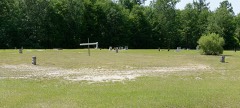 | Carswell Grove Baptist Church and Cemetery | building | 1996 | 95001564 |
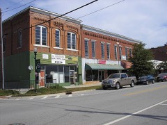 | Downtown Millen Historic District | district | 1996 | 96001340 |
 | Jenkins County Courthouse | building | 1980 | 80001100 |
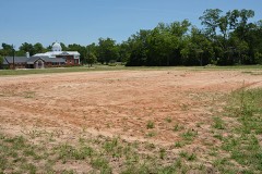 | Millen High School | building | 2002 | 02000842 |
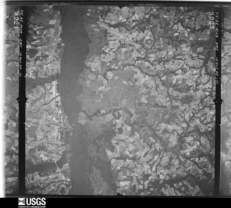
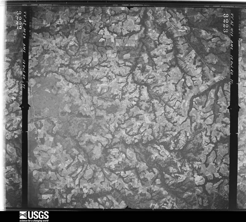
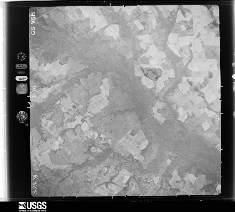
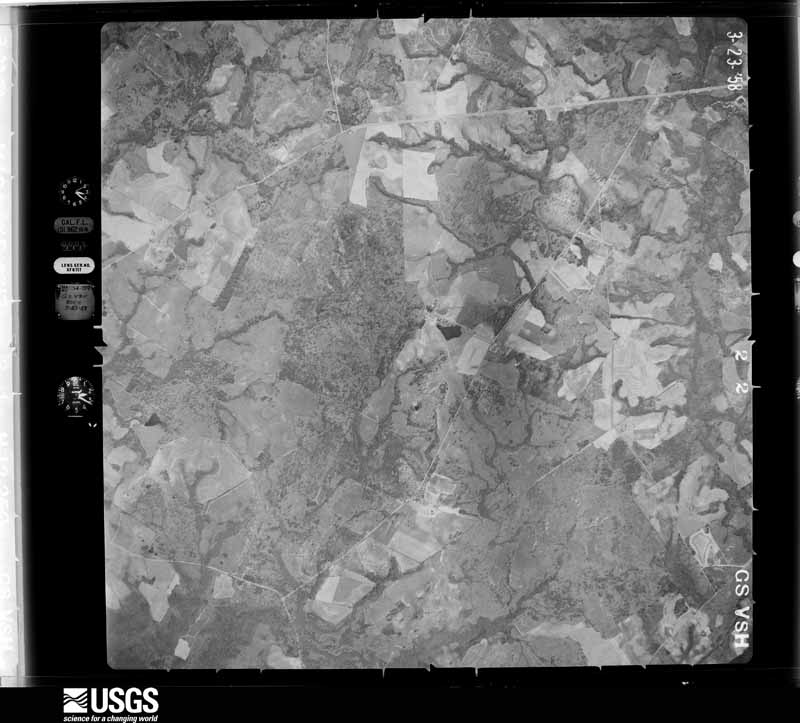
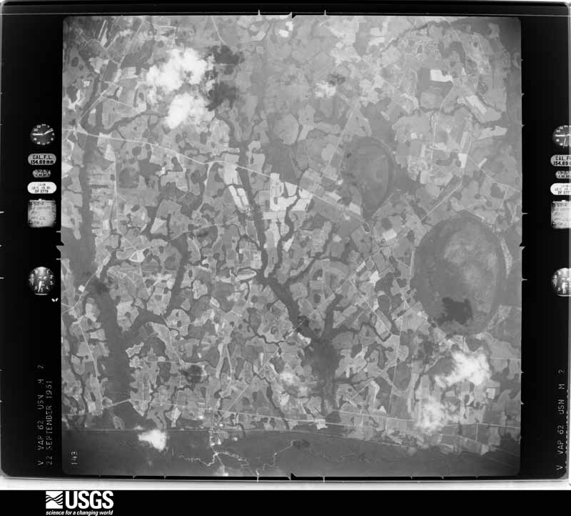
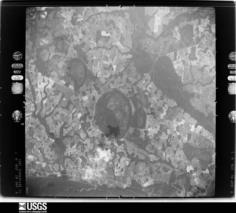
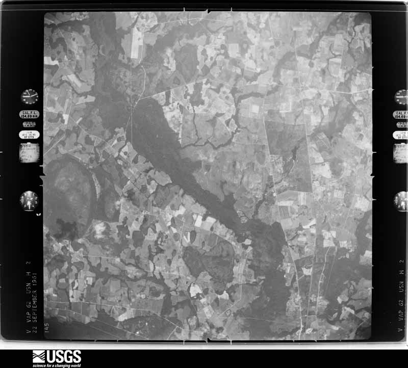
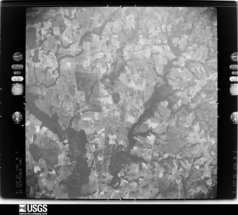
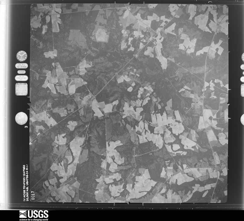
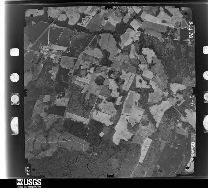
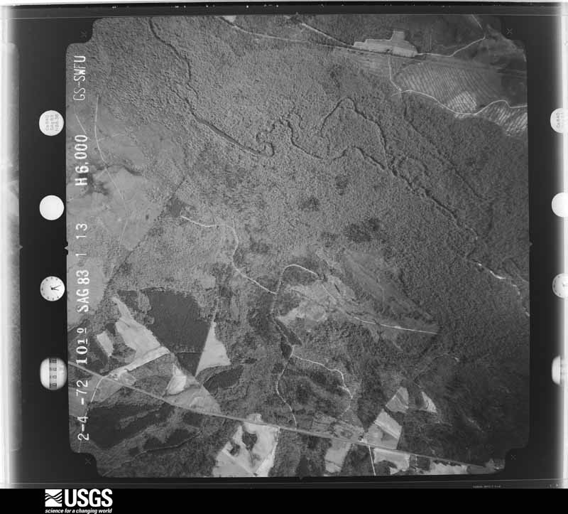
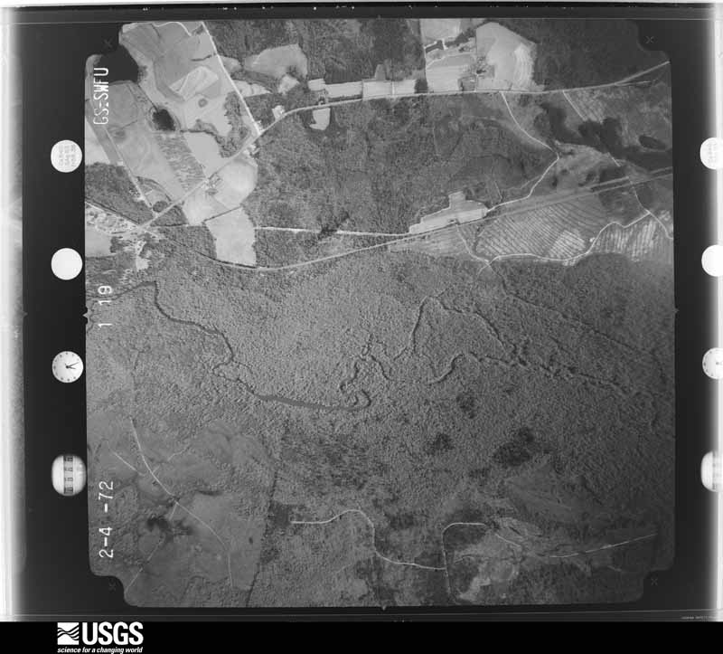
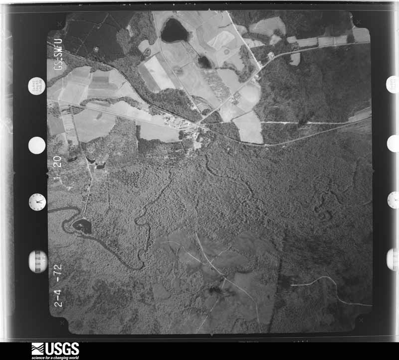
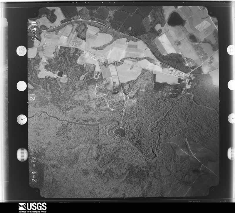
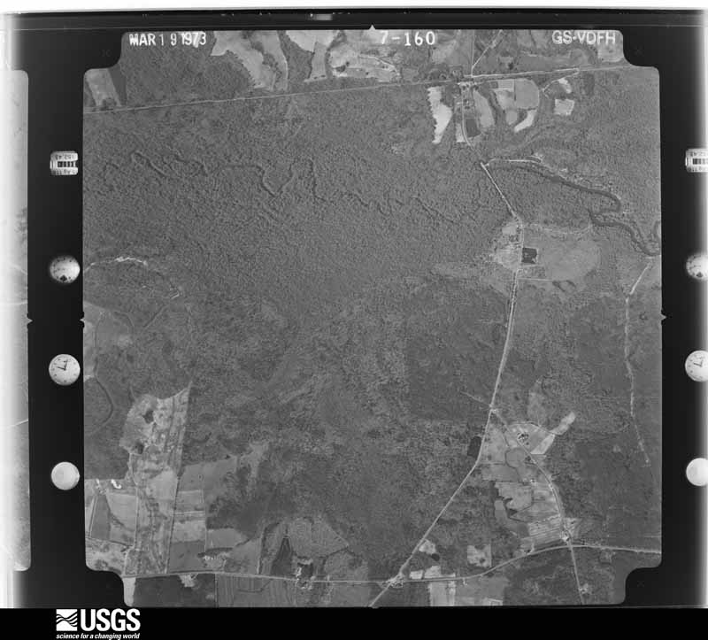
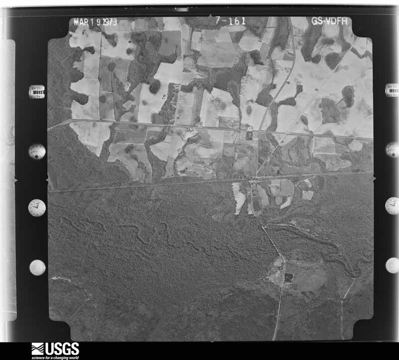
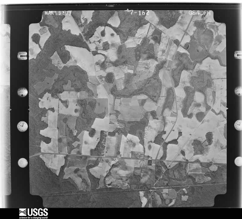
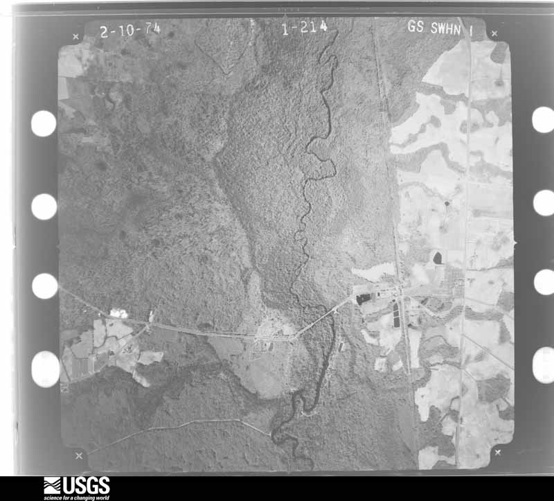
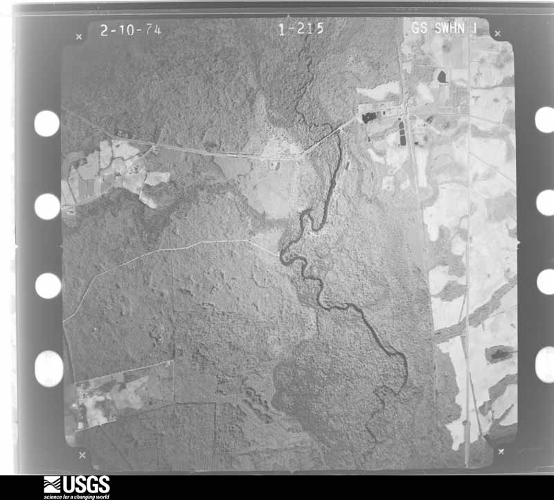
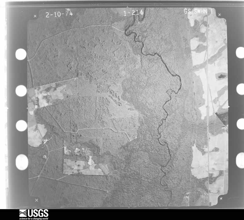
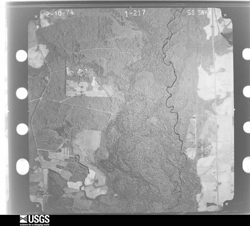
Flown by the U.S. Geological Survey between 1937 and 1989, the Aerial Photo Single Frames collection is the definitive mid-century view of the land: fields, roads and rivers as the camera saw them. The Survey holds 670 frames inside the rectangle that bounds this county; the 30 frames below were taken over the county itself, chosen across the decades of flights (at most four a year from that rectangle), so one flight cannot crowd out the rest. The full set is free to browse and download at EarthExplorer under the dataset Aerial Photo Single Frames.




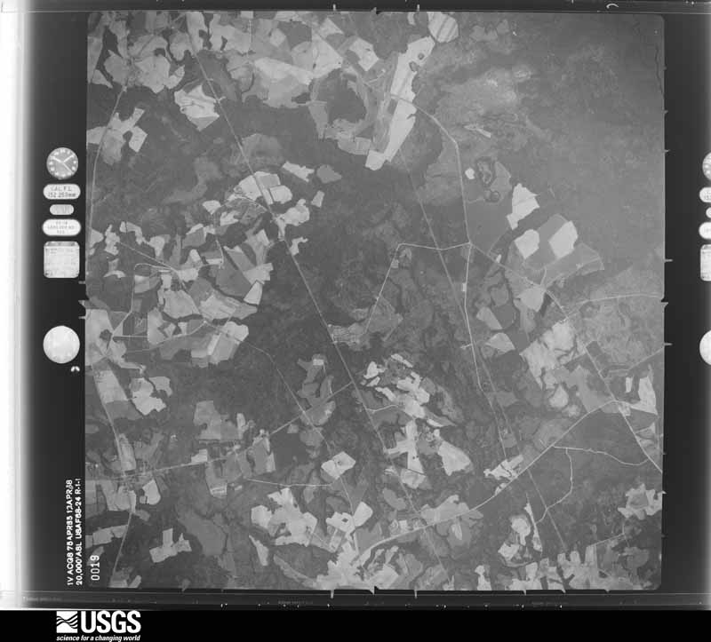
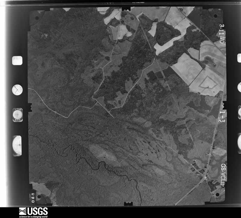
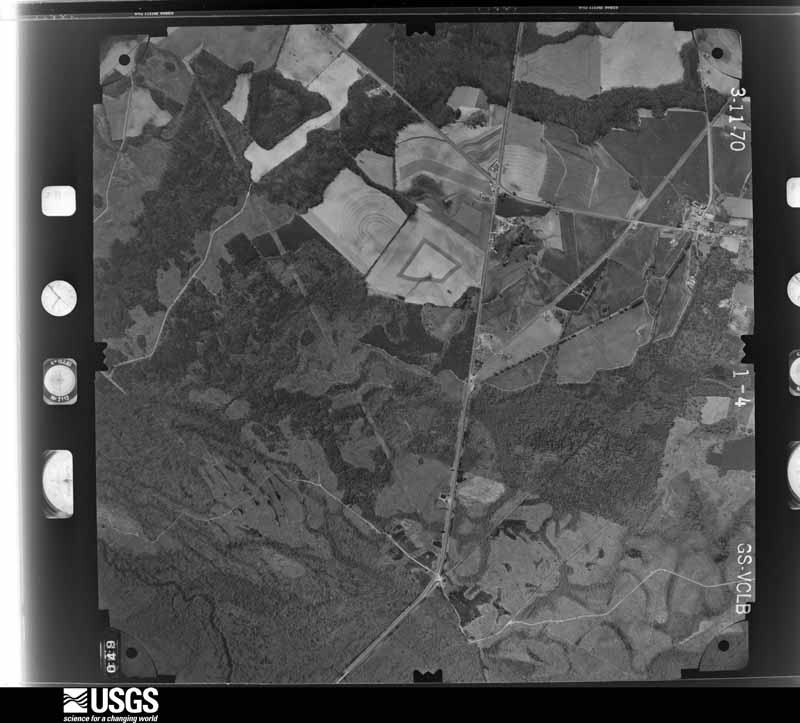
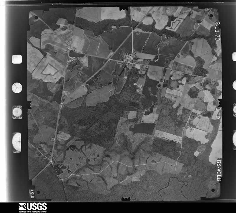

The thermometers that kept this county's weather, and the gages that measured the flow of its streams, as the federal records hold them. The extremes below are measured values from those records, not estimates.
Who lived here in 1950, one enumeration district at a time, as the Census Bureau described each district. Each row opens its official National Archives result, with Population Schedules and ED Maps available there.
Every wildfire the federal occurrence database records inside this county: 1,154 of them, burning about 4,615 acres. 57 started naturally and 244 were recorded as arson. Each settlement page carries the fires within five miles of it.
| Reported cause | Fires |
|---|---|
| Debris and open burning | 658 |
| Arson/incendiarism | 244 |
| Equipment and vehicle use | 100 |
| Natural | 57 |
| Missing data/not specified/undetermined | 48 |
| Misuse of fire by a minor | 16 |
| Recreation and ceremony | 13 |
| Railroad operations and maintenance | 11 |
| Smoking | 7 |
The five largest, by the area the report gives. Three of them were set deliberately.
| Date | Cause | Size | Reported by | Name on the report |
|---|---|---|---|---|
| 10 March 1993 | Arson/incendiarism | 73 acres | Georgia Forestry Commission | not named |
| 11 January 2019 | Debris and open burning | 68 acres | Georgia Forestry Commission | FY2019JENKINS006 |
| 21 July 2000 | Debris and open burning | 68 acres | Georgia Forestry Commission | FY2001-BURKE-006 |
| 10 August 2006 | Natural | 55 acres | Georgia Forestry Commission | not named |
| 27 January 2014 | Debris and open burning | 55 acres | Georgia Forestry Commission | FY2014-JENKINS-007 |
| 24 March 2011 | Arson/incendiarism | 49 acres | Georgia Forestry Commission | FY2011-JENKINS-032 |
| 21 March 1998 | Debris and open burning | 49 acres | Georgia Forestry Commission | not named |
| 16 March 1999 | Arson/incendiarism | 48 acres | Georgia Forestry Commission | not named |
Every settlement page carries the fires within five miles of it - see the settlement index below.
The NOAA Storm Events Database holds 158 reports for this county, causing no deaths, 2 injuries and about $1,957,600 in recorded property damage. Each settlement page carries the reports that name it.
| Kind of event | Reports |
|---|---|
| Thunderstorm Wind | 118 |
| Hail | 23 |
| Tornado | 9 |
| Flash Flood | 6 |
| Funnel Cloud | 1 |
| Lightning | 1 |
The most serious of them, by death, then injury, then recorded damage. The accounts are quoted exactly as the forecast office filed them.
| When | Event | Place named | Harm | What the report says |
|---|---|---|---|---|
| May 2008 | Thunderstorm Wind | Paramore Station | 1 hurt, $780,000 | Significant and widespread straight line wind damage occurred along a 16 mile path starting approximately 2.5 miles west of Thrift, Georgia and continuing to around 4.5 miles east of Millen, Georgia. Maximum sustained winds were estimated to be approximately 110 mph along this path. Between 50 and 60 homes were damaged with 10 to 12 of these homes completely destroyed. Damage also occurred to the Rose Mary Church and Oak Hill Church. There was one person that was injured as a result of the straight line wind damage. |
| May 2008 | Tornado (EF0) | Emmalane | 1 hurt, $50,000 | A Tornado touched down near the community of Emmalane, Georgia around 733 AM EDT southwest of the intersection of US-25 and Old Savannah Road. The Tornado continued northeast 1.7 miles and had a maximum width of 1200 yards. The observed damage indicated that an EF-1 Tornado had occurred. The maximum sustained winds with the Tornado were estimated at 95 mph. Damage occurred to a mobile home where the roof was uplifted and the structure shifted from its foundation. There was also significant damage to nearby sheds and trees. |
| August 2024 | Flash Flood | Millen Arpt | $250,000 | County officials reported at least 25 roads (20 dirt roads) washed out across Jenkins County due to heavy rainfall from Debby. Most of these roads were listed on the Jenkins County Board of Commissioners Facebook page at 621 PM EST on 8/7. Event times for each individual road washout are unknown but likely occurred during the day of 8/6 and overnight into early 8/7. |
| March 1976 | Tornado (F2) | not stated | $250,000 | no account filed |
| March 1976 | Tornado (F2) | not stated | $250,000 | no account filed |
| May 2006 | Thunderstorm Wind | Millen | $100,000 | Several planes overturned by high winds at private landing strip northwest of Millen on Old Lewisville Road. |
| January 2006 | Tornado (F0) | Millen | $50,000 | A tornado briefly touched down severely damaging a mobile home, causing minor damage to another mobile home, and knocking down trees. |
| August 2024 | Flash Flood | Thrift | $40,000 | A Jenkins County emergency manager reported Joe Waters Road washed out due to floodwaters and eventually leading to a vehicle driving into it and being washed down a nearby creek. Assistance was needed for the occupant with no injuries reported. |
| January 1972 | Tornado (F1) | not stated | $25,000 | no account filed |
| May 1997 | Thunderstorm Wind | Millen | $20,000 | Trees down. Tree fell on a house. |
| August 2007 | Thunderstorm Wind | Millen | $13,000 | The Jenkins county Emergency Manager reported a tree down on a car at intersection of Highway 17 and Washington Steet. Scattered trees were also reported down across the Millen area. In addition, a structure was also reported to have caught on fire, presumably by a lightning strike. |
| June 2010 | Thunderstorm Wind | Perkins | $10,000 | An employee at Magnolia Springs State Park reported multiple trees down, including one that landed on a car. The employee also reported dime size hail. |
| May 2007 | Thunderstorm Wind | Millen | $10,000 | There were reports of power lines down in the city of Millen. A 5 foot diameter tree fell on a trailer near the Jenkins County Hospital. |
| July 2012 | Thunderstorm Wind | Millen | $8,000 | Numerous trees and power lines down in Millen. |
| July 1995 | Thunderstorm Wind | not stated | $8,000 | Thunderstorm winds knocked down trees and power lines in the northern half of the county. |
| January 2006 | Thunderstorm Wind | Butts | $5,000 | Thunderstorm winds knocked down several trees. |
| January 2006 | Thunderstorm Wind | Scarboro | $5,000 | Thunderstorm winds knocked down trees off Old Savannah Road. |
| May 2006 | Thunderstorm Wind | Millen | $5,000 | Trees and powerlines down. |
| May 2006 | Thunderstorm Wind | Perkins | $5,000 | Trees and powerlines down on Fred Chance Road. |
| June 1994 | Thunderstorm Wind | Millen | $5,000 | Several large trees were downed by thunderstorm winds. |
| May 1993 | Thunderstorm Wind | Perkins | $5,000 | Several large trees were blown down. |
| June 2010 | Thunderstorm Wind | Millen | $3,500 | Law enforcement reported trees and power lines down in Millen. |
| June 2009 | Thunderstorm Wind | Thrift | $3,000 | An emergency manager reported several trees down across Highway 23 along the Jenkins and Emanuel county line. |
| June 2009 | Thunderstorm Wind | Herndon | $3,000 | An emergency manager reported trees down across Highway 17, including one tree down across railroad tracks in Herndon, Georgia. |
| August 2009 | Thunderstorm Wind | Herndon | $3,000 | The public reported 5 trees down and estimated winds of 60 to 65 mph as a thunderstorm moved through Herndon, Georgia. A few shingles were also blown off the roof of a house by the strong winds. |
| May 1971 | Tornado (F1) | not stated | $2,500 | no account filed |
| June 2013 | Thunderstorm Wind | Scarboro | $2,250 | The Jenkins County 911 call center reported a large tree down on a power line on East Old Savannah Road. |
| March 2013 | Thunderstorm Wind | Millen | $2,250 | The Jenkins County 911 Call Center reported a tree limb went through a roof at the 600 block of Walnut Street. |
| August 2018 | Lightning | Millen | $2,000 | A lightning strike resulted in damage at the Jenkins County Sheriff's Office. |
| June 2012 | Thunderstorm Wind | Emmalane | $2,000 | Two trees were reported down near the intersection of Highway 25 and highway 121. |
| July 2012 | Thunderstorm Wind | Millen | $2,000 | The public reported one tree and one power line down. |
| June 2008 | Thunderstorm Wind | Millen | $2,000 | Trees and power lines were reported down 2 miles east of Millen, Georgia. |
| July 2007 | Thunderstorm Wind | Emmalane | $2,000 | Several trees were reported down, one of which was blocking a road. |
| May 2007 | Thunderstorm Wind | Perkins | $2,000 | There were trees reported down throughout the Magnolia Springs State Park. |
| May 2006 | Thunderstorm Wind | Millen | $2,000 | Trees down along Highway 17. |
| May 2006 | Thunderstorm Wind | Perkins | $2,000 | Trees down at the Magnolia Country Club. |
| June 1995 | Thunderstorm Wind | Millen | $2,000 | Thunderstorm winds knocked down several trees. |
| July 1995 | Thunderstorm Wind | Millen | $2,000 | Thunderstorm winds knocked trees down. |
| July 2010 | Thunderstorm Wind | Emmalane | $1,500 | Law enforcement reported three trees down, one on Grady Drive, one on Route 121, and another on Edgar Lane, approximately 5 miles south-southwest of Millen, Georgia. |
| August 2007 | Thunderstorm Wind | Millen | $1,500 | Three trees were reported down at the intersection of east Highway 21 and Paramore Hill Road. |
| April 2025 | Thunderstorm Wind | Herndon | $1,000 | The Jenkins County 911 Call Center reported a tree down and blocking one lane of Highway 17 North. |
| May 2024 | Thunderstorm Wind | Scarboro | $1,000 | Jenkins County Emergency Management reported a tree down on East Old Savannah Road near Aaron Road. |
| June 2023 | Thunderstorm Wind | Millen | $1,000 | The Jenkins County 911 Call Center reported one tree down on Parks Road in Millen, Georgia. |
| June 2013 | Thunderstorm Wind | Butts | $1,000 | Jenkins emergency dispatch reported a tree down on Highway 23 South in Butts. |
| June 2012 | Thunderstorm Wind | Paramore Station | $1,000 | One tree was reported down on Paramore Hill Road. |
| June 2012 | Thunderstorm Wind | Millen | $1,000 | One tree was reported down on Hilltonia Road. |
| November 2011 | Thunderstorm Wind | Rogers | $1,000 | The Jenkins County Warning Point reported 1 tree down along West Old Savannah Road, 3 miles southeast of Herndon. |
| June 2010 | Thunderstorm Wind | Perkins | $1,000 | The police reported 1 tree down on Highway 23. |
| September 2009 | Thunderstorm Wind | Emmalane | $1,000 | Law Enforcement reported a tree and a power line down on West Old Savannah Road, 5 miles west-southwest of Millen, Georgia. |
| June 2009 | Hail | Millen | $1,000 | A trained weather spotter reported penny size hail and numerous tree limbs down in Millen, Georgia. |
| December 2008 | Thunderstorm Wind | Millen | $1,000 | Law enforcement reported a large tree down on a powerline along Highway 17 in Millen, Georgia. |
| May 2007 | Thunderstorm Wind | Millen | $1,000 | There were large limbs reported down in the town of Millen. |
| May 2006 | Thunderstorm Wind | Millen | $1,000 | Trees down along Highway 25 near the Ogeechee River. |
| May 2006 | Thunderstorm Wind | Perkins | $1,000 | Tree down along Perkins Green Fork Rd. Tree down along the Jenkins/Burke county line. |
| June 2007 | Thunderstorm Wind | Perkins | $750 | Numerous tree limbs were reported down in Magnolia Springs State Park. |
| April 2013 | Thunderstorm Wind | Thrift | $500 | Fire Department reported a tree down at Lambert Road and Highway 25 South. |
| April 2013 | Thunderstorm Wind | Thrift | $500 | Fire Department reported a tree down on Highway 23 South. |
| July 2010 | Thunderstorm Wind | Paramore Station | $500 | Law enforcement reported a tree down across Oak Hill Church Road, 3 miles north-northeast of Scarboro, Georgia. |
| March 2009 | Thunderstorm Wind | Perkins | $500 | The public reported large tree limbs down due to thunderstorm winds in Magnolia Springs State Park. |
| August 2009 | Thunderstorm Wind | Herndon | $500 | Law Enforcement reported one tree down along Highway 17, two miles west-northwest of Rogers, Georgia. |
Named settlements recorded in the Geographic Names Information System, each with the topographic sheets covering it. Villages, hamlets and abandoned places alike. Each is shown with the nearest named watercourse or landform and the survey quadrangle it falls on. The 1 place that was also surveyed for fire insurance comes first, with the number of atlases and photographs held for them.
Millen census division · 30442 · On Buckhead Creek · Millen quadrangle
15 sheets, 1920 to 1981
Fire insurance: 3 atlases
South Jenkins census division · 30442 · On Crooked Branch · Birdsville quadrangle
7 sheets, 1957 to 1988
South Jenkins census division · 30442 · On Mill Creek · Garfield quadrangle
7 sheets, 1957 to 1988
Millen census division · 30442 · On Dry Branch · Birdsville quadrangle
7 sheets, 1957 to 1988
No longer a settlement
South Jenkins census division · 30442 · On Hooker Branch · Four Points quadrangle
15 sheets, 1921 to 1981
Millen census division · 30442 · Perkins quadrangle
15 sheets, 1920 to 1981
No longer a settlement
Millen census division · 30442 · On Spring Mill Branch · Millen quadrangle
15 sheets, 1920 to 1981
Millen census division · 30442 · On Paramore Hill · Millen quadrangle
15 sheets, 1920 to 1981
Millen census division · 30442 · On Cypress Creek · Birdsville quadrangle
7 sheets, 1957 to 1988
Millen census division · 30442 · On Scarboro Branch · Four Points quadrangle
15 sheets, 1921 to 1981
Millen census division · 30442 · On Buckhead Creek · Millen quadrangle
15 sheets, 1920 to 1981
No longer a settlement
South Jenkins census division · 30442 · On Mill Creek · Garfield quadrangle
7 sheets, 1957 to 1988
The vanished settlements of Jenkins County: the places named above that are no longer on the map.
15 topographic sheets and 3 fire insurance atlases, 1917 to 1940