 Block
From the record
8 National Register listings published here.
Sources: the National Register database, National Park Service
28 topographic sheets and 9 fire insurance atlases across 1 place.
8 National Register listings published here.
Sources: the National Register database, National Park Service
Taken for the Office of War Information and the Farm Security Administration, who photographed the country between 1935 and 1944. Works of United States government photographers, with no known restriction on use. Each opens its catalogue record.
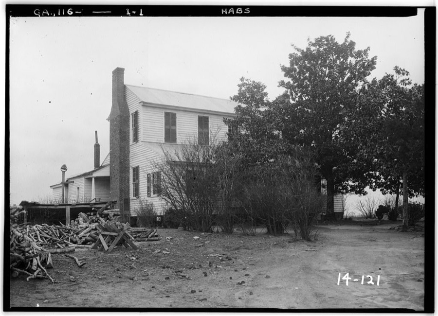
Every property in this county listed on the National Register of Historic Places, with the year it was listed and the federal nomination document.
| Photograph | Property | Type | Listed | Reference |
|---|---|---|---|---|
| Barnesville Commercial Historic District | district | 1995 | 95000733 | |
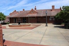 | Barnesville Depot | building | 1986 | 86000916 |
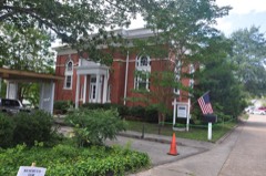 | Carnegie Library of Barnesville | building | 1987 | 86003684 |
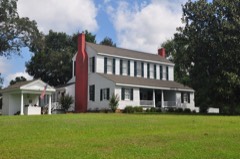 | Benjamin Gachet House | building | 1997 | 97000301 |
| Johnstonville-Goggins Historic District | district | 2000 | 00001283 | |
 | Lamar County Courthouse | building | 1980 | 80001103 |
| Redbone Community House | building | 1998 | 98000323 | |
| Thomaston Street Historic District | district | 1995 | 95000908 |
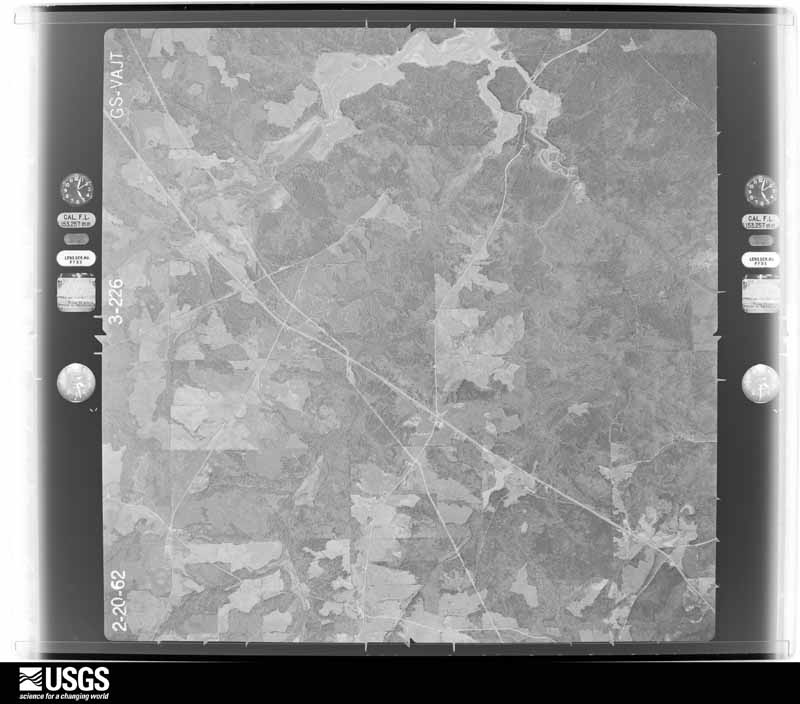
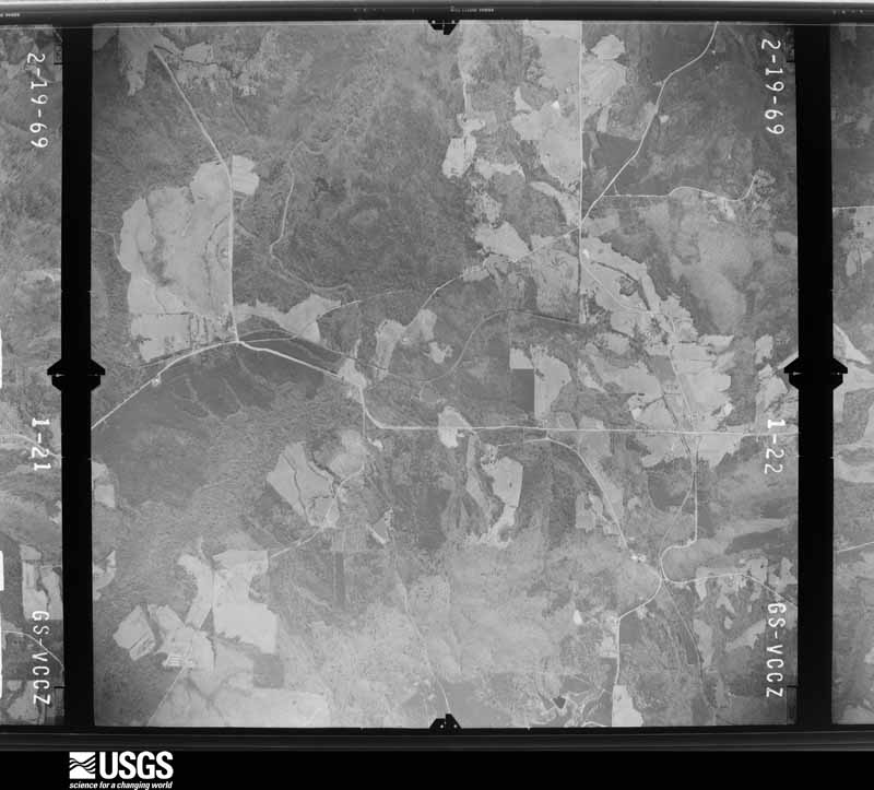
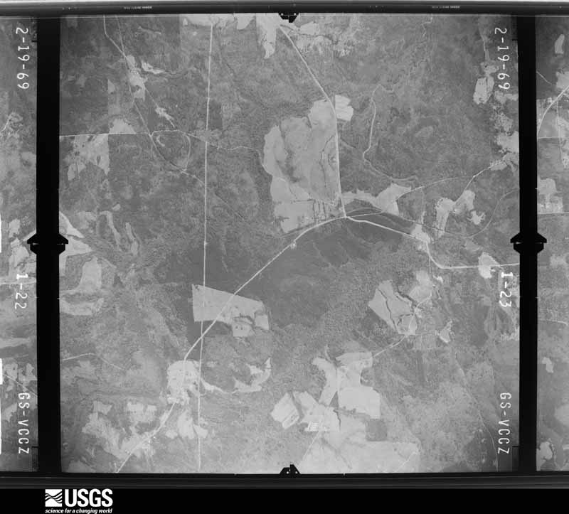
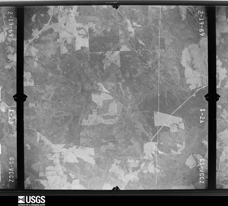
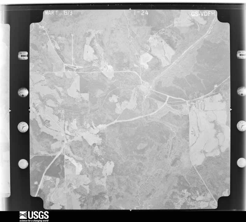
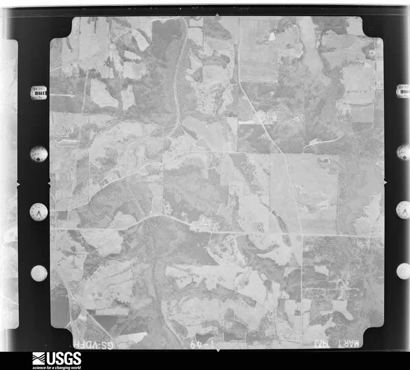
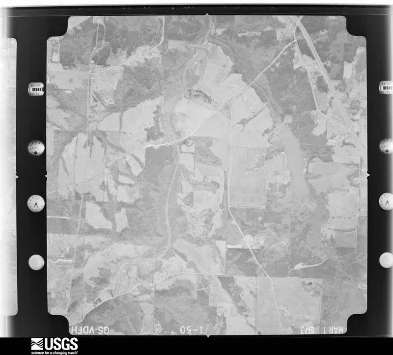
Flown by the U.S. Geological Survey between 1937 and 1989, the Aerial Photo Single Frames collection is the definitive mid-century view of the land: fields, roads and rivers as the camera saw them. The Survey holds 616 frames inside the rectangle that bounds this county; the 29 frames below were taken over the county itself, chosen across the decades of flights (at most four a year from that rectangle), so one flight cannot crowd out the rest. The full set is free to browse and download at EarthExplorer under the dataset Aerial Photo Single Frames.








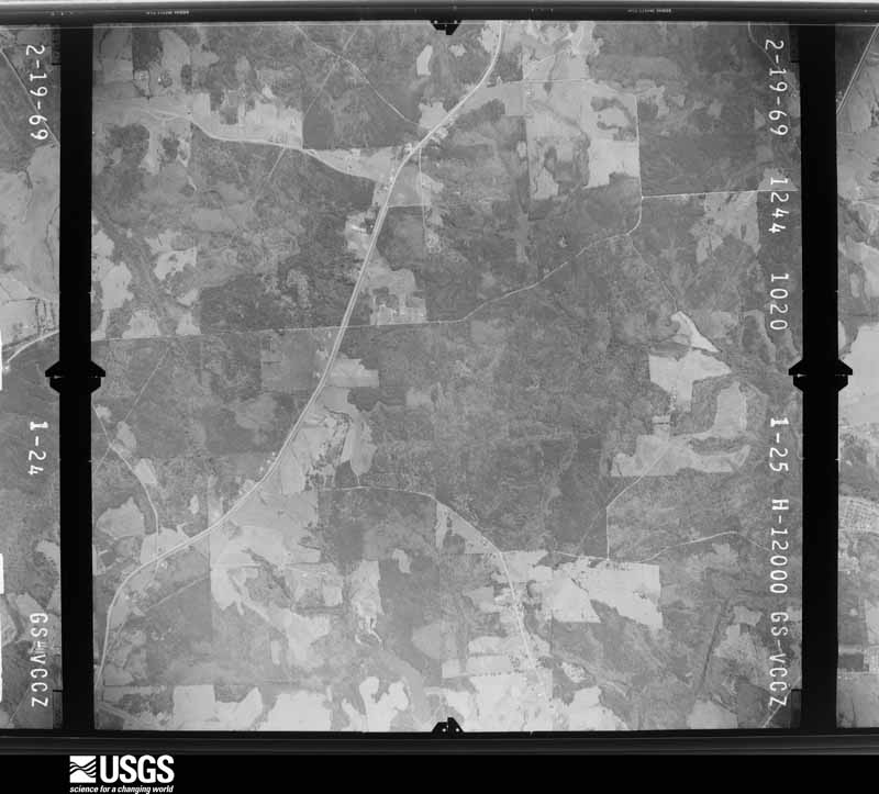






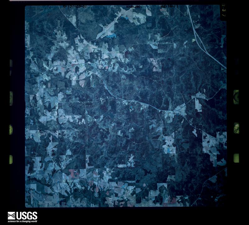

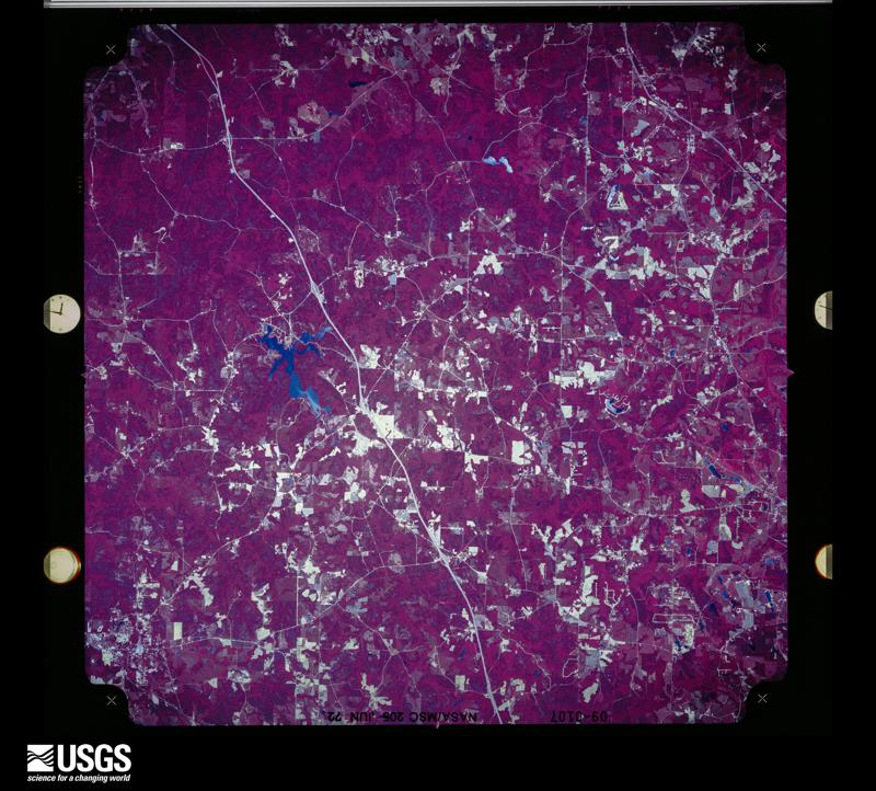



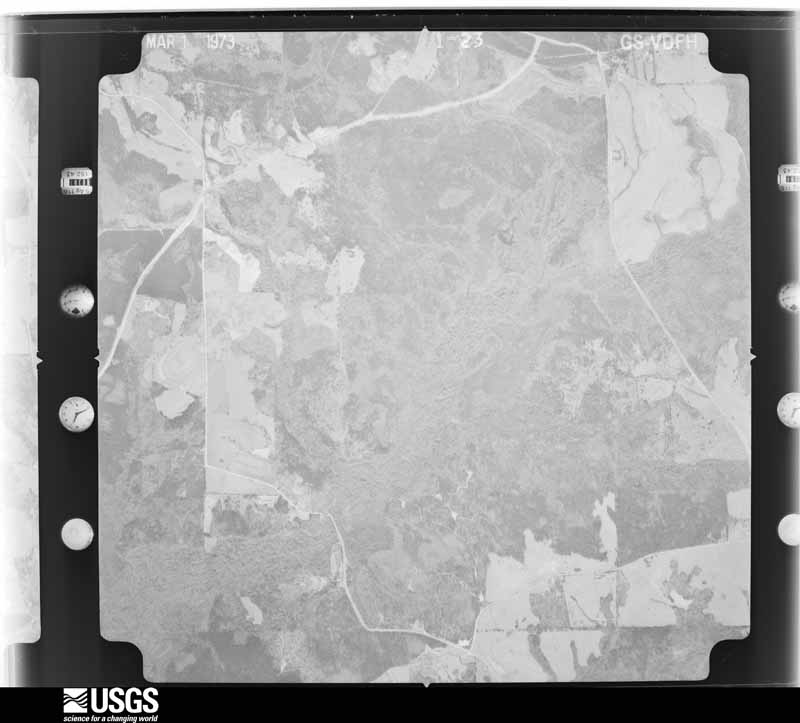
The thermometers that kept this county's weather, and the gages that measured the flow of its streams, as the federal records hold them. The extremes below are measured values from those records, not estimates.
Who lived here in 1950, one enumeration district at a time, as the Census Bureau described each district. Each row opens its official National Archives result, with Population Schedules and ED Maps available there.
Every wildfire the federal occurrence database records inside this county: 595 of them, burning about 1,601 acres. 17 started naturally and 69 were recorded as arson. Each settlement page carries the fires within five miles of it.
| Reported cause | Fires |
|---|---|
| Debris and open burning | 383 |
| Arson/incendiarism | 69 |
| Missing data/not specified/undetermined | 41 |
| Equipment and vehicle use | 32 |
| Misuse of fire by a minor | 24 |
| Natural | 17 |
| Recreation and ceremony | 15 |
| Smoking | 11 |
| Railroad operations and maintenance | 3 |
The five largest, by the area the report gives. One of them was set deliberately.
| Date | Cause | Size | Reported by | Name on the report |
|---|---|---|---|---|
| 16 March 2013 | Debris and open burning | 53 acres | Georgia Forestry Commission | FY2013-LAMAR-008 |
| 21 March 2013 | Arson/incendiarism | 37 acres | Georgia Forestry Commission | FY2013-LAMAR-009 |
| 16 January 2005 | Missing data/not specified/undetermined | 35 acres | Georgia Forestry Commission | not named |
| 9 February 2008 | Debris and open burning | 29 acres | Georgia Forestry Commission | not named |
| 21 March 2011 | Misuse of fire by a minor | 28 acres | Georgia Forestry Commission | FY2011-LAMAR-007 |
| 5 April 2005 | Debris and open burning | 28 acres | Georgia Forestry Commission | not named |
| 1 June 2000 | Debris and open burning | 25 acres | Georgia Forestry Commission | FY2000-LAMAR-045 |
| 19 October 2012 | Debris and open burning | 24 acres | Georgia Forestry Commission | FY2013-LAMAR-004 |
Every settlement page carries the fires within five miles of it - see the settlement index below.
The NOAA Storm Events Database holds 132 reports for this county, causing 2 deaths, 14 injuries and about $11,412,100 in recorded property damage. Each settlement page carries the reports that name it.
| Kind of event | Reports |
|---|---|
| Thunderstorm Wind | 78 |
| Hail | 27 |
| Tornado | 14 |
| Flash Flood | 7 |
| Flood | 2 |
| Funnel Cloud | 2 |
| Lightning | 1 |
| Heavy Rain | 1 |
The most serious of them, by death, then injury, then recorded damage. The accounts are quoted exactly as the forecast office filed them.
| When | Event | Place named | Harm | What the report says |
|---|---|---|---|---|
| April 2011 | Tornado (EF3) | Piedmont | 2 killed, 12 hurt, $10,000,000 | A damage survey conducted by the National Weather Service Forecast Office in Peachtree City, Georgia confirmed that the EF3 tornado that first touched down in far southeast Pike county, approximately three miles southeast of Meansville, quickly moved into Lamar county and traveled northeast across the entire distance of Lamar county from just northwest of Piedmont, through the north side of Barnesville, then moving into and across northern Monroe county before finally moving into far southern Butts county and then lifting. The tornado traveled on the ground slightly over 15 miles within Lamar county. The total tornado path length was around 30 miles. The maximum path width of the tornado was 0.6 mile with maximum winds estimated to be 140 mph. Damage from this tornado in Lamar county was extensive, especially in the Barnesville area. Three homes along Piedmont Road, approximately three miles west of Barnesville, were completely destroyed by this tornado. Some homes in Barnesville were also destroyed while many others suffered minor to moderate damage. Two fatalities occurred at a home on Grove Street in Barnesville, which was destroyed. A Chervron Gas Station and a church in Barnesville were also destroyed. There were an additional 12 injuries suffered from damaged homes and property along the tornado's path, mostly in and around Barnesville.||Damage within Lamar county consists of 25 destroyed homes, 20 with major damage, and 40 with minor damage for a total of 85 affected structures.||[04/27-04/28/11: Tornado #12, County #2-4, EF3, Pike-Lamar-Monroe-Butts, 2011:021]. |
| May 1956 | Tornado (F2) | not stated | 1 hurt, $250,000 | no account filed |
| April 2000 | Tornado (F1) | Milner | 1 hurt, $10,000 | As the storm continued from Pike county across the extreme northwest corner of Lamar county, large tree limbs were knocked down on another house. One man was injured when struck by a falling tree limb on Vaughn Road. Sections of a fence were torn down and other trees and debris were found in a converging pattern caused by a rotating storm. |
| January 2012 | Hail | Barnesville | $240,000 | The Lamar County 911 Center reported hail between 1.00 and 1.75 inches across Barnesville. |
| April 2019 | Tornado (EF1) | Milner | $200,000 | A National Weather Service survey determined that an EF1 tornado with maximum wind speeds 90 mph and a maximum path width of 150 yards touched down in northern Lamar County near the intersection of Weldon Lake Road and Silver Dollar Road, snapping several trees. The tornado moved northeast along Weldon Lake Road snapping or uprooting more trees. As the tornado crossed Evans Road, numerous trees were downed with one falling onto a carport attached to a home. The house next door had damage to shingles on its roof. The tornado continued northeast, intensifying as it reached the Morgan Dairy Golf Course and crossed Morgan Dairy Road. Over 50 trees were downed on the golf course and numerous others were downed along Morgan Dairy Road. Continuing northeast, the tornado crossed McKneely Road downing numerous trees and power lines before weakening and crossing into Spalding County near Brown Road. No injuries were reported. [04/14/19: Tornado #4, County #1/2, EF-1, Lamar, 2019:024]. |
| June 2018 | Thunderstorm Wind | Horns Crossroads | $100,000 | A National Weather Service survey team determined that a long-lived multiple microburst event occurred across southeastern Lamar County with winds as high as 95 mph. The damage began along Brent Road around Ramah Church Road and extended southeast for nearly 2.5 miles along Brent Road before crossing into Monroe County. An amateur weather station on Lee Williamson Road just across the Monroe County line recorded a wind gust of 93 mph. Numerous large hardwood trees were uprooted or snapped. Some of these trees fell on homes or other structures causing considerable damage. Many power lines were downed across this area as well. The damage path was around 5 miles wide. No injuries were reported. |
| June 2014 | Thunderstorm Wind | Barnesville | $100,000 | Broadcast media reported that the roof of the Harris Building, housing the school's athletic and JROTC programs, collapsed. |
| August 1999 | Lightning | Milner | $100,000 | Lightning set fires to 6 homes and a barn. |
| May 1998 | Thunderstorm Wind | Barnesville | $75,000 | Severe thunderstorm winds knocked down 3 chicken houses and damaged the roof and shingles of 3 homes. A well house was blown away and large tree tops were twisted off. A funnel cloud was spotted over the area about 30 feet off the ground. |
| July 1998 | Thunderstorm Wind | Aldora | $50,000 | A slow moving thunderstorm continued to produce damaging winds over Lamar county. High winds caused a tractor-trailer to jacknife and overturn at Aldora near the intersection of highways 341 and 18. Road signs were twisted and nearly toppled. Several people in the area reported seeing a funnel cloud. The winds also toppled a brick sign and damaged the roof at a grocery store. A greenhouse at a nursery was also destroyed. |
| August 2011 | Thunderstorm Wind | Milner | $30,000 | The Lamar County 911 Center reported that more than a dozen trees and several power lines were down across the county. Some of the most significant damage was noted across the northern half of the county from Milner to Barnesville. A power line was downed onto a car just north of Barnesville as well. |
| June 1998 | Thunderstorm Wind | Countywide | $25,000 | Lamar county 911 reported trees blown down county-wide. The roof was blown off a house on Chapel Mill Road in the northeast part of the county. |
| April 1957 | Tornado (F0) | not stated | $25,000 | no account filed |
| July 1998 | Thunderstorm Wind | Barnesville | $15,000 | Lamar county 911 reported numerous trees were blown down by thunderstorms winds. There were numerous power outages as well. |
| April 2019 | Tornado (EF0) | Milner Xrds | $10,000 | A National Weather Service survey determined that an EF0 tornado with maximum wind speeds 75 mph and a maximum path width of 75 yards touched down in western Lamar County just north of Highway 18 and west of Five Points Road. The short-lived tornado moved northeast crossing Five Points Road and snapping or uprooting several trees before dissipating south of Grove Street. No injuries were reported. [04/14/19: Tornado #3, County #1/1, EF-0, Lamar, 2019:023]. |
| November 2014 | Tornado (EF0) | Milner Xrds | $10,000 | A NWS storm survey team found that an EF-0 tornado, with maximum wind speeds of 82 MPH, touched down in Lamar County south of Milner near old Milner Road and Cannafax Road. The tornado tracked northeast for almost 1.5 miles before lifting near Deerfield Trace. The tornado caused mainly damage to trees with numerous hardwood and softwood trees snapped and uprooted. A metal building on Old Milner Road had roof and wall panels blown off. [11/23/14: Tornado #7, County #1-1, EF0, Lamar, 2014:024]. |
| November 2009 | Flood | Five Pts | $10,000 | The Herald Gazette of Barnesville reported that Potato Creek on the west side of the county experienced minor flooding. A 10-acre pond on U.S. Highway 41 in Redbone failed and flooded adjacent areas. Only adjacent agricultural areas were affected. Damages were mostly a result of the dam failure and associated debris removal. |
| July 2005 | Flash Flood | Countywide | $10,000 | The Lamar County Emergency Management Director reported that several dirt roads in the county were flooded and some were washed out. A number of small creeks and streams around the county were out of their banks. City Pond in Barnesville was also out of its banks flooding nearby areas. |
| May 2003 | Flash Flood | Barnesville | $10,000 | The Herald-Gazette of Barnesville reported that several streets in the city were flooded, especially in the downtown area. Flooding was also reported in at least one home. |
| July 2000 | Thunderstorm Wind | Milner | $10,000 | The Lamar county 911 center and the public reported many trees down across the western half of Lamar county, particularly on Weldon Lake Road and Gordon Road. |
| December 2021 | Thunderstorm Wind | Liberty Hill | $7,000 | A swath of damage occurred across northern Lamar county blowing down at least 7 trees along a path near GA-7. |
| April 2017 | Thunderstorm Wind | Barnesvle Redbone Ar | $7,000 | Am amateur radio operator reported trees blown down around the intersection of Highway 341 and Willis Road. |
| August 2020 | Thunderstorm Wind | Liberty Hill | $6,000 | The Lamar County Emergency Manager reported trees and power lines blown down along Highway 36 north of Barnesville. |
| April 2020 | Tornado (EF0) | Lamont | $5,000 | A National Weather Service survey found that the tornado in Upson County crossed into Lamar County as an EF0 tornado with maximum wind speeds of 80 mph and a maximum path width of 200 yards. The tornado crossed into the county where Ritchie Road makes a 90 degree turn just west of Highway 341. The tornado blew down or snapped a few trees as it crossed Highway 341 and Leverette Road before lifting at Community House Road. [04/12/20: Tornado #11, County #2/2, EF-0, Lamar, 2020:017]. |
| November 2014 | Tornado (EF1) | Liberty Hill | $5,000 | A NWS storm survey team found that an EF-1 tornado, with maximum wind speeds of 100 MPH, touched down in Lamar County near the intersection of State Highway 36 and High Falls Park Road. The tornado tracked northeast nearly 4.5 miles before crossing into Butts County along Bucksnort Road just west of Interstate Highway 75. The tornado caused mainly damage to trees with numerous hardwood and softwood trees snapped or uprooted. [11/23/14: Tornado #8, County #1-3, EF1, Lamar-Butts-Newton, 2014:025]. |
| November 2014 | Tornado (EF0) | Piedmont | $5,000 | A NWS storm survey team found that the tornado that touched down in Upson County crossed into Lamar County southwest of Barnesville. The tornado, EF-0 in strength with maximum wind speeds of 85 MPH, tracked northeast nearly 2.5 miles mile before lifting along the Little Potato Creek north of Perdue Road. Numerous hardwood and softwood trees were uprooted or snapped along the path of the tornado. [11/23/14: Tornado #5, County #2-2, EF2, Upson-Lamar, 2014:022]. |
| July 2009 | Thunderstorm Wind | Barnesville | $5,000 | The Lamar County 911 Center reported that a structure suffered minor damage from thunderstorm winds. One power line was also blown down. |
| April 2005 | Thunderstorm Wind | Countywide | $5,000 | The Lamar County Sheriff's Office reported that several power lines were down throughout the county. The public reported that several large limbs were down in the Milner area. |
| November 2002 | Hail | Barnesville | $5,000 | The public reported that quarter size hail fell. Some cars were damaged. |
| July 2000 | Thunderstorm Wind | Barnesville | $5,000 | The public reported that several trees and power lines were blown down. There were also reports received of cars being blown off the road by the strong thunderstorm winds. |
| March 1996 | Thunderstorm Wind | Barnesville | $5,000 | no account filed |
| June 2023 | Thunderstorm Wind | Goggins | $4,000 | Emergency manager reported multiple trees down in Lamar, including a large tree blocking Van Buren Road near North Ridge Rd. |
| June 2019 | Thunderstorm Wind | Barnesville | $4,000 | The Lamar County 911 center reported a tree down along Holmes Street and Forsyth Street in Barnesville. |
| July 2011 | Thunderstorm Wind | Chappel Mill | $4,000 | The Lamar County 911 Center reported that several trees were down across the far northeast and north central part of the county from Chappel Mill to just south of Orchard Hill along the Spalding/Lamar county line. Some roads were briefly blocked by downed trees, including one lane of Interstate-75 in the far northeast corner of the county. Scattered power outages were noted throughout the county, including within the Barnesville area. At least one power line was down in the northeast part of the county. |
| April 2025 | Thunderstorm Wind | Liberty Hill | $3,000 | Several trees uprooted along high falls park road. |
| August 2024 | Thunderstorm Wind | Milner | $3,000 | Several trees down along liberty hill road. |
| November 2016 | Thunderstorm Wind | Woodfin Mill | $3,000 | The Lamar County 911 center reported trees blown down across the northern portion of the county from around Young Road to I-75 near mile marker 198. |
| September 2016 | Thunderstorm Wind | Lamont | $3,000 | The Lamar County 911 center reported power lines blown down at the Fredonia Church along Brent Road. |
| July 2012 | Thunderstorm Wind | Johnstonville | $3,000 | The Lamar County 911 Center reported that several power lines were blown down around Mott Road east of Barnesville. |
| July 2007 | Thunderstorm Wind | Milner | $3,000 | The Lamar County 911 Center reported that 10 trees were down throughout the county. A few power lines were also down as well. |
| May 1980 | Tornado (F1) | not stated | $2,500 | no account filed |
| June 1950 | Tornado (F1) | not stated | $2,500 | no account filed |
| July 2024 | Thunderstorm Wind | Barnesville | $2,000 | Power line reported down the intersection of college drive and veterans pkwy and tree down on house off of Cradley Circle. |
| August 2023 | Thunderstorm Wind | Barnesville | $2,000 | Tree down on powerline near Lambdin Cir. |
| July 2020 | Thunderstorm Wind | Horns Crossroads | $2,000 | The Lamar County 911 center reported trees blown down in the Brent Road and Ramah Church Road area. |
| July 2012 | Thunderstorm Wind | Liberty Hill | $2,000 | The Lamar County Sheriff's Office reported that several trees and power lines were blown down in the northern half of the county. |
| January 2012 | Thunderstorm Wind | Barnesville | $2,000 | The Lamar County 911 Center reported that three trees and a power line were down on a transformer in Barnesville. |
| May 2009 | Thunderstorm Wind | Milner | $2,000 | The Lamar County 911 Center reported that from six to ten trees were blown down across the county. No damage to structures was reported. |
| January 2006 | Tornado (F0) | Chappel | $2,000 | A damage survey conducted by the National Weather Service concluded that a brief F0 tornado had touched down about three miles southwest of Chappel or six miles north-northeast of Barnesville and traveled on the ground eastward for an approximate distance of 300 yards or 0.2 mile. The tornado path width was 50 yards. A number of trees were snapped or toppled along the path, but no damage to structures was reported. This tornado was produced from the same supercell thunderstorm that had earlier spawned an F3 tornado in Pike county. |
| January 2006 | Thunderstorm Wind | Milner | $2,000 | A damage survey conducted by the National Weather Service concluded that straight-line thunderstorm wind damage had blown down a number of trees in north central Lamar county about two miles southeast of Orchard Hill. The parent thunderstorm that caused this damage had earlier spawned an F3 tornado in northern Pike county and shortly after this damage near Orchard Hill occurred spawned an F0 tornado in northeast Lamar county near Chappel. |
| June 2002 | Thunderstorm Wind | Barnesville | $2,000 | The public reported that trees were blown down at two separate locations in the county. In one instance there appeared to be a path of destruction to the trees. Some shingles were also blown off the roof and some yard items, such as a plastic swimming pool and barbeque grill were missing. |
| July 1998 | Thunderstorm Wind | Barnesville | $2,000 | The public reported trees knocked down. |
| July 1997 | Thunderstorm Wind | Barnesville | $2,000 | Thunderstorm winds blew down a couple of large tree limbs. |
| July 2012 | Thunderstorm Wind | Milner | $1,500 | The Lamar County 911 Center reported a few trees and power lines down in the far northern part of the county. |
| April 2025 | Thunderstorm Wind | Graddick | $1,000 | Large tree down on a house off atlanta street. |
| June 2025 | Thunderstorm Wind | Powell | $1,000 | Tree limbs on SR 7 Northbound at Thomaston St. All lanes closed. |
| August 2023 | Thunderstorm Wind | Aldora | $1,000 | Tree down on powerline near Old Zebulon Rd in Aldora. |
| June 2022 | Thunderstorm Wind | Barnesville | $1,000 | A large tree was reported down across Thomaston St near Tyler St. |
| June 2022 | Thunderstorm Wind | Patillo | $1,000 | Tree and powerlines down across High Falls Park Rd near Bell Rd. |
| January 2013 | Thunderstorm Wind | Barnesville | $1,000 | A local newspaper reported that a masonry sign was blown over at a dentist's office on the southeast side of Barnesville. |
The Survey's mineral resources record lists 19 workings inside this county. None of them still produces: all are closed or unrecorded. Each settlement page carries the workings within five miles of it.
| Commodity | Workings |
|---|---|
| Mica | 19 |
| Gemstone | 1 |
The least common of them first, because a county's hundredth gravel pit says nothing its first ten did not.
| Where | Site | Commodity | Status | Recorded |
|---|---|---|---|---|
| J T Means Mine | Mica, Gemstone | Past Producer | ||
| Clay Creek Mine | Mica | Past Producer | ||
| Coggins Prospect | Mica | Prospect | ||
| Doc Irwin Prospect | Mica | Prospect | ||
| Early Vaughn Mine | Mica | Past Producer | ||
| H B Manrey Prospect | Mica | Prospect | ||
| H S Worsham Prospect | Mica | Prospect | ||
| Howard Mine | Mica | Past Producer | ||
| Ingraham Prospects | Mica | Prospect | ||
| J I Taylor Prospects | Mica | Prospect | ||
| J W Brown Deposit | Mica | Occurrence | ||
| Means Prospect | Mica | Prospect | ||
| Old Childs Prospect | Mica | Prospect | ||
| Perdue Prospect | Mica | Prospect | ||
| Sugar Hill No. 1 Prospect | Mica | Occurrence | ||
| Sugar Hill No. 2 Prospect | Mica | Occurrence | ||
| Taylor Prospect | Mica | Prospect | ||
| Thomas Mine | Mica | Past Producer | ||
| Williams & Holmes Prospects | Mica | Prospect |
Named settlements recorded in the Geographic Names Information System, each with the topographic sheets covering it. Villages, hamlets and abandoned places alike. Each is shown with the nearest named watercourse or landform and the survey quadrangle it falls on. The 1 place that was also surveyed for fire insurance comes first, with the number of atlases and photographs held for them.
Barnesville census division · 30204 · Near Hog Mountain · Barnesville quadrangle
10 sheets, 1951 to 1979
Fire insurance: 9 atlases
Milner census division · 30257 · On Little Buck Creek · High Falls quadrangle
11 sheets, 1951 to 1979
Milner census division · 30257 · On Grape Creek · Barnesville quadrangle
11 sheets, 1951 to 1979
Barnesville census division · 30204 · Barnesville quadrangle
10 sheets, 1951 to 1979
No longer a settlement
Barnesville census division · 30204 · Johnstonville quadrangle
10 sheets, 1951 to 1979
Barnesville census division · 30204 · Johnstonville quadrangle
10 sheets, 1951 to 1979
No longer a settlement
Barnesville census division · 30204 · Yatesville quadrangle
10 sheets, 1951 to 1981
No longer a settlement
Barnesville census division · 30204 · On Little Potato Creek · Barnesville quadrangle
10 sheets, 1951 to 1979
Milner census division · 30233 · On Ball Branch · High Falls quadrangle
11 sheets, 1951 to 1979
Barnesville census division · 30204 · On Little Potato Creek · Zebulon quadrangle
9 sheets, 1953 to 1979
Barnesville census division · 30204 · Barnesville quadrangle
10 sheets, 1951 to 1979
No longer a settlement
Barnesville census division · 30204 · Barnesville quadrangle
10 sheets, 1951 to 1979
No longer a settlement
Milner census division · 30204 · On Buck Creek · High Falls quadrangle
11 sheets, 1951 to 1979
Milner census division · 30233 · On Ball Branch · High Falls quadrangle
11 sheets, 1951 to 1979
Barnesville census division · 30204 · Barnesville quadrangle
10 sheets, 1951 to 1979
No longer a settlement
Milner census division · 30257 · On Grape Creek · Barnesville quadrangle
10 sheets, 1951 to 1979
The vanished settlements of Lamar County: the places named above that are no longer on the map.
10 topographic sheets and 9 fire insurance atlases, 1885 to 1942
The complete index, with nothing left out. Each of these is a separate record with its own page: a federal survey report, or the case file that argued a property on to the National Register. Both are public domain and reproduced word for word.
The vanished settlements of Lamar County, the places these records name that are no longer on the map.