 Block
From the record
1 National Register listing published here.
Sources: the National Register database, National Park Service
15 topographic sheets cover 4 settlements here, and 1 property is on the National Register of Historic Places.
1 National Register listing published here.
Sources: the National Register database, National Park Service
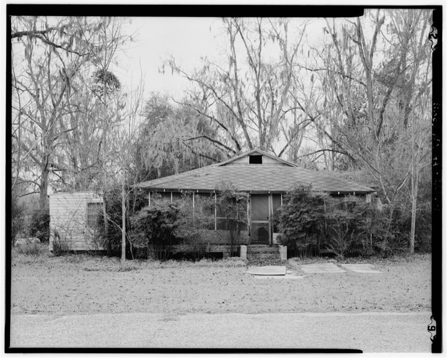
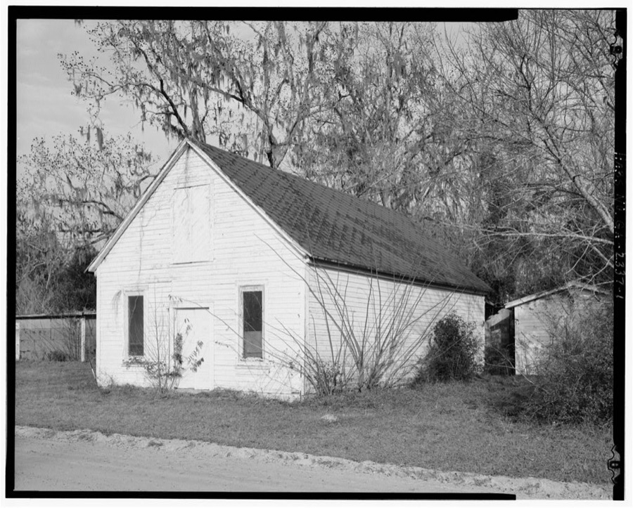
Taken for the Office of War Information and the Farm Security Administration, who photographed the country between 1935 and 1944. Works of United States government photographers, with no known restriction on use. Each opens its catalogue record.
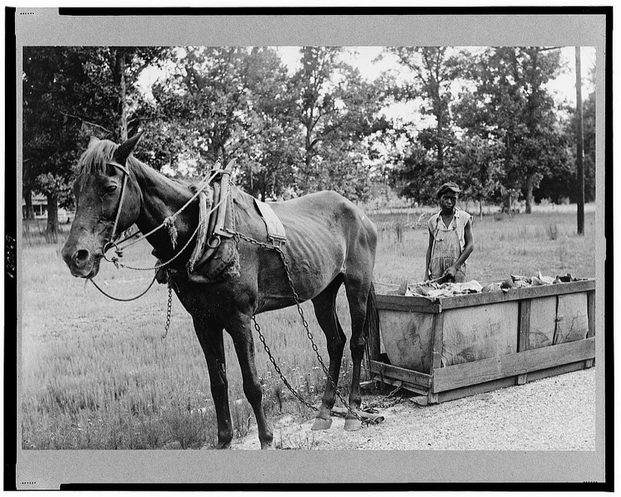
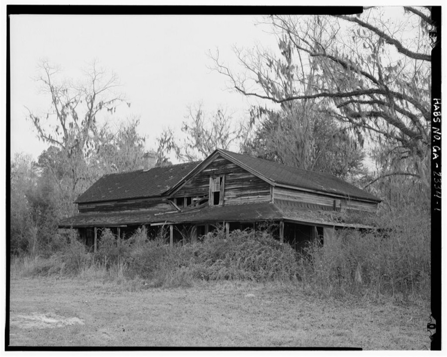
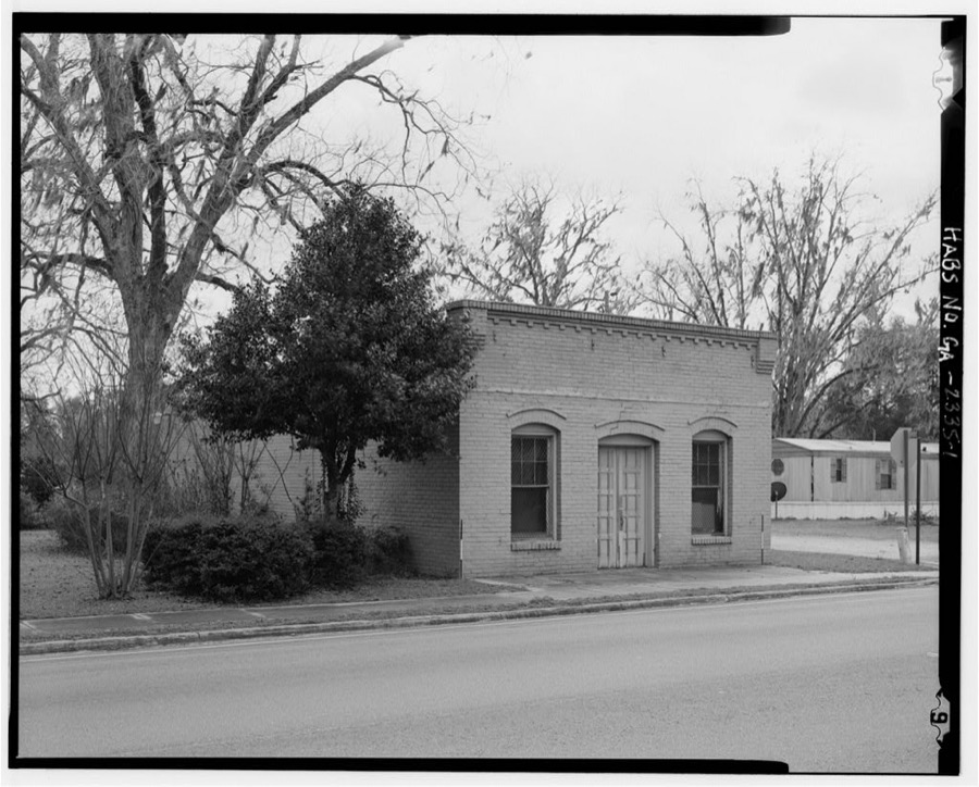
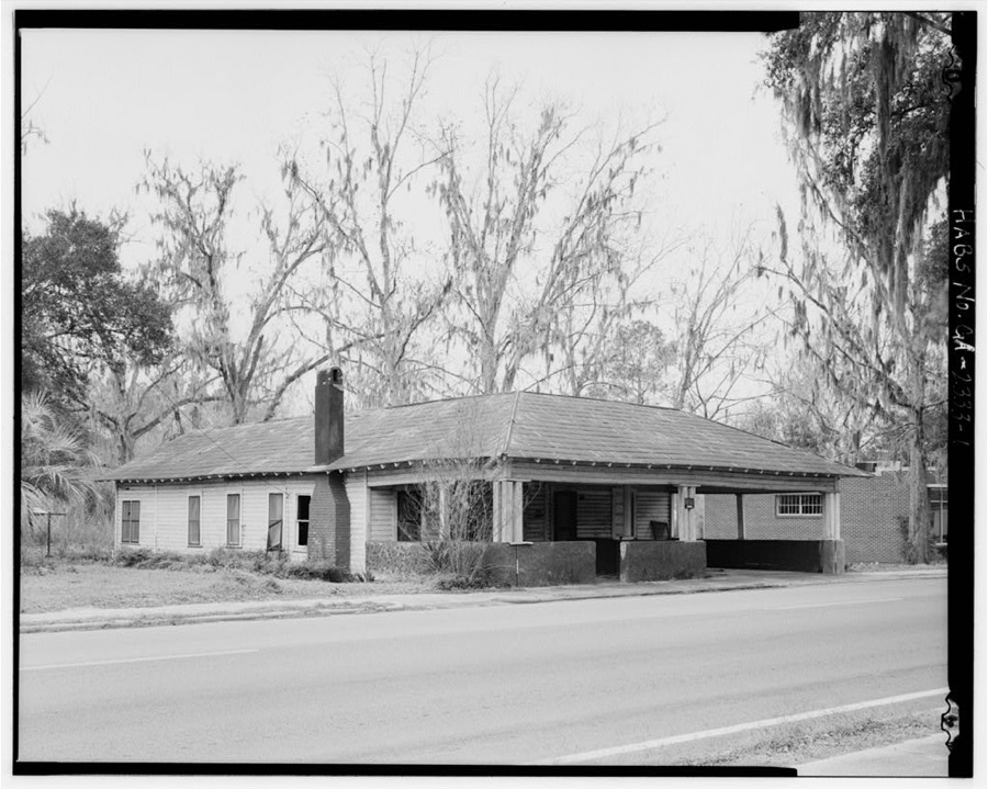
Every property in this county listed on the National Register of Historic Places, with the year it was listed and the federal nomination document.
| Photograph | Property | Type | Listed | Reference |
|---|---|---|---|---|
 | Lanier County Auditorium and Grammar School | building | 1986 | 86000743 |
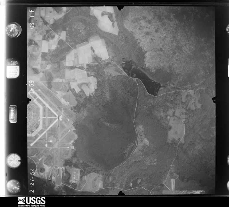
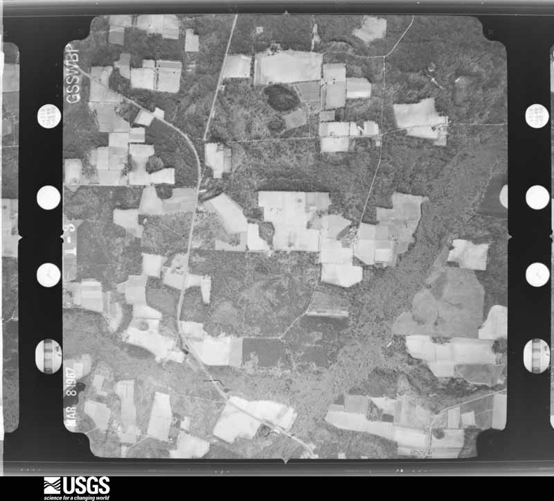
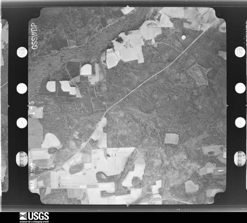
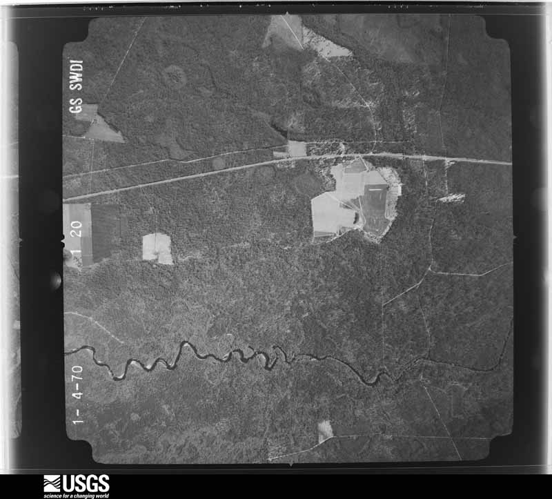
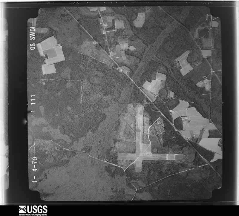
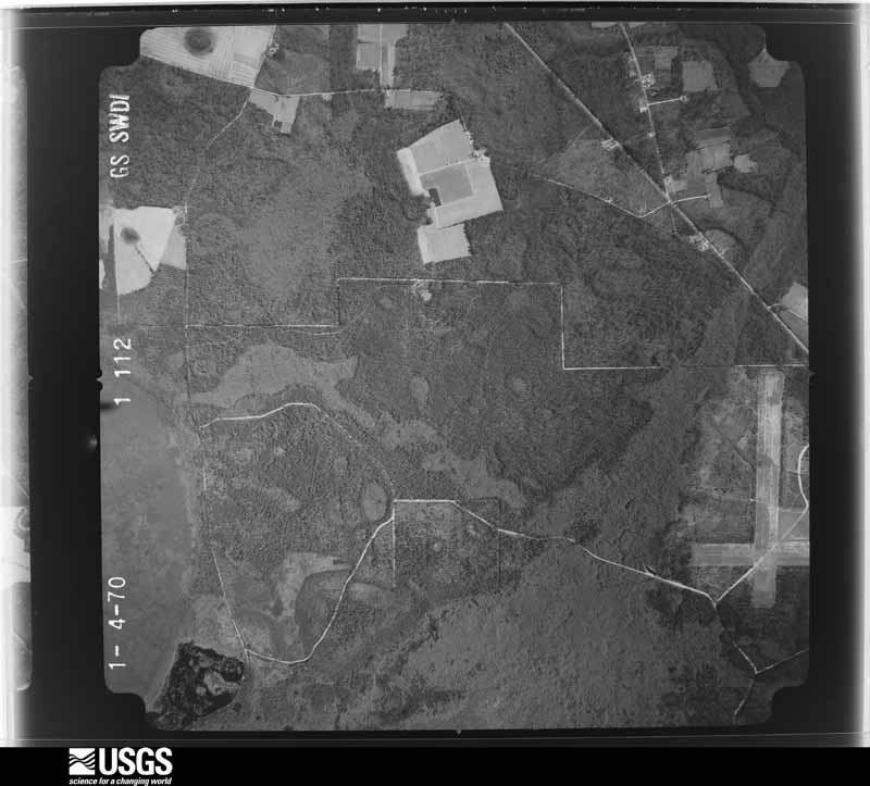
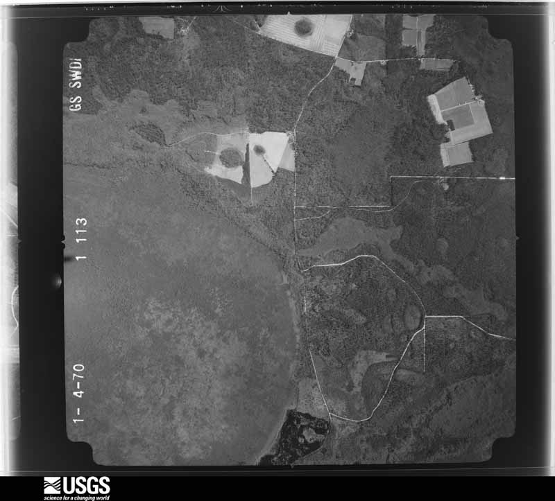
Flown by the U.S. Geological Survey between 1937 and 1989, the Aerial Photo Single Frames collection is the definitive mid-century view of the land: fields, roads and rivers as the camera saw them. The Survey holds 473 frames inside the rectangle that bounds this county; the 20 frames below were taken over the county itself, chosen across the decades of flights (at most four a year from that rectangle), so one flight cannot crowd out the rest. The full set is free to browse and download at EarthExplorer under the dataset Aerial Photo Single Frames.




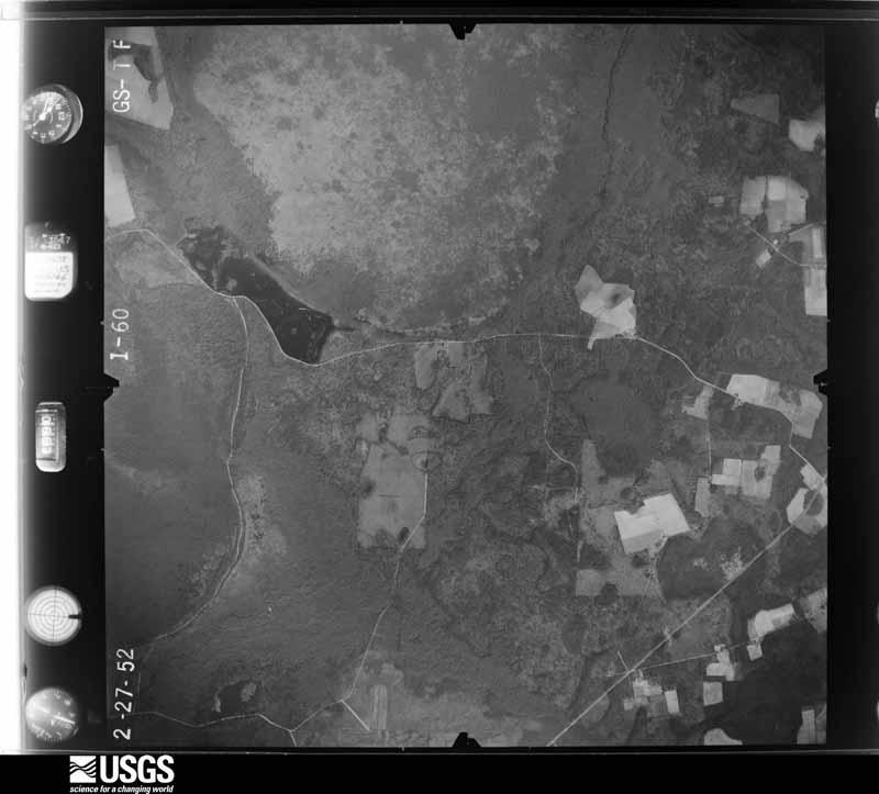
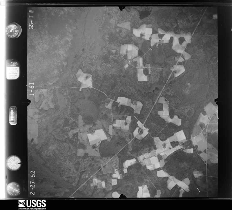
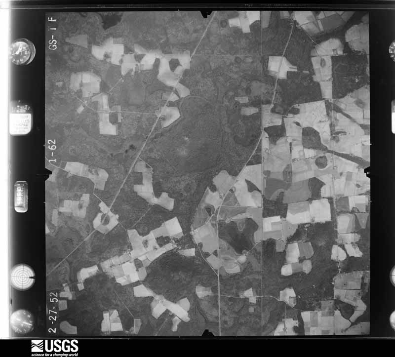
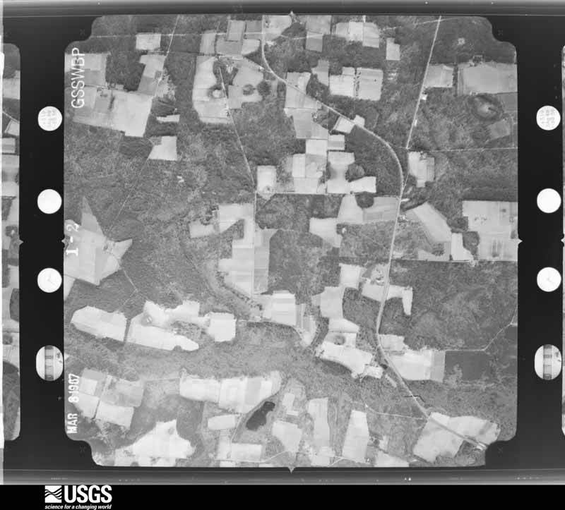





The thermometers that kept this county's weather, as the federal records hold them. The extremes below are measured values from those records, not estimates.
Who lived here in 1950, one enumeration district at a time, as the Census Bureau described each district. Each row opens its official National Archives result, with Population Schedules and ED Maps available there.
Every wildfire the federal occurrence database records inside this county: 1,007 of them, burning about 7,866 acres. 54 started naturally and 113 were recorded as arson. Each settlement page carries the fires within five miles of it.
| Reported cause | Fires |
|---|---|
| Debris and open burning | 688 |
| Arson/incendiarism | 113 |
| Natural | 54 |
| Equipment and vehicle use | 52 |
| Missing data/not specified/undetermined | 49 |
| Misuse of fire by a minor | 20 |
| Smoking | 17 |
| Recreation and ceremony | 9 |
| Railroad operations and maintenance | 5 |
The five largest, by the area the report gives. Four of them were set deliberately.
| Date | Cause | Size | Reported by | Name on the report |
|---|---|---|---|---|
| 21 April 2000 | Debris and open burning | 4,050 acres | Georgia Forestry Commission | FY2000-CLINCH-055 |
| 21 February 2011 | Arson/incendiarism | 204 acres | Georgia Forestry Commission | FY2011-LANIER-026 |
| 22 February 2007 | Debris and open burning | 141 acres | Georgia Forestry Commission | not named |
| 26 February 2000 | Debris and open burning | 96 acres | Georgia Forestry Commission | FY2000-LANIER-058 |
| 15 December 2010 | Debris and open burning | 94 acres | Georgia Forestry Commission | FY2011-LANIER-019 |
| 5 March 2006 | Arson/incendiarism | 78 acres | Georgia Forestry Commission | not named |
| 18 January 2018 | Arson/incendiarism | 72 acres | Georgia Forestry Commission | FY2018LANIER004 |
| 28 January 2003 | Arson/incendiarism | 69 acres | Georgia Forestry Commission | not named |
Every settlement page carries the fires within five miles of it - see the settlement index below.
The NOAA Storm Events Database holds 150 reports for this county, causing no deaths, 5 injuries and about $3,742,000 in recorded property damage. Each settlement page carries the reports that name it.
| Kind of event | Reports |
|---|---|
| Thunderstorm Wind | 113 |
| Hail | 22 |
| Tornado | 7 |
| Flash Flood | 5 |
| Lightning | 2 |
| Funnel Cloud | 1 |
The most serious of them, by death, then injury, then recorded damage. The accounts are quoted exactly as the forecast office filed them.
| When | Event | Place named | Harm | What the report says |
|---|---|---|---|---|
| April 1982 | Tornado (F2) | not stated | 5 hurt, $2,500,000 | no account filed |
| March 2012 | Tornado (EF3) | Teeterville | $500,000 | This is a continuation of the tornado that occurred in Lowndes county. This tornado strengthened to EF3 status while in Lanier county with maximum winds estimated around 140 mph. The tornado entered Lanier county along Highway 122 near Barber Road and then impacted a property just north of 122 along Boyette Road. As the tornado approached Boyette Road, it was likely reaching maximum intensity. Radar reflectivity showed a signature known as a debris ball and gave forecasters high confidence that a tornado was in progress, despite an actual tornado not having been reported yet. The damage at the aforementioned location was severe. A mobile home was completely destroyed with debris scattered for hundreds of yards in many directions. This site was originally unrecognizable as a mobile home to the survey team. A few trees at the location were almost totally debarked. A one story residence also had some roof and window damage, a small grain silo was completely destroyed, and a large shed structure was completely destroyed with debris swept well away from the original location. Other things were noted around this location. There were quite a few instances of objects driven into the ground, including metal bars, gutters, branches, and other debris. There was some ground scouring noted, and many of the shrubs were ripped out of their original spots. Large debris was lofted for hundreds of yards including what appeared to be a hatch door from the missing grain silo, a door off of a chest freezer, and a mower and propane tank. The main part of the chest freezer was found across the street. Near the location of the large shed structure that was swept away, an electric meter was ripped out of the ground, and additional deep gouges were found in the ground. The tornado continued to the east-northeast, cutting a clear path through some dense forest in the swampland to the south of Highway 122 and to the west of Banks Lake. Around that time, the damage path began to narrow as the tornado approached the town of Lakeland. Once in Lakeland, the tornado largely caused damage to trees and vegetation, although some structures were impacted. A mobile home was completely destroyed, a nearby full shipping container was rolled about 50 feet, and some debris was driven through metal. Near the end of the tornado path it impacted the hospital in Lakeland, pushing a trailer away from its original location and damaging the ambulance station. Some antennas were also snapped at the hospital, and some damage was reported to the AC units on the roof. Damage in Lanier county was estimated at around $500,000. |
| May 2016 | Thunderstorm Wind | Lakeland | $100,000 | Structural damage was reported on the southeast side of Lakeland near Oscar Carter Lane with numerous trees down, including some on houses. This was the result of a downburst. Damage was estimated. |
| August 2006 | Thunderstorm Wind | Lakeland | $100,000 | Straight-line winds toppled numerous trees and power lines from State 37 south along State Highway 129. Two homes were damaged by fallen trees. Two irrigation systems were damaged. Reported by the Lanier County EMA. |
| April 2020 | Tornado (EF0) | Teeterville | $50,000 | This is a continuation of the EF0 tornado that started in Berrien county. The tornado moved east out of Ray City and dissipated before reaching Lakeland. Straight line winds damage was observed however in Lanier County from U.S. Route 129 through parts of Lakeland to near the Clinch County line. Max winds were estimated near 80 mph. |
| April 2020 | Thunderstorm Wind | Lakeland | $50,000 | Numerous trees and power lines were blown down across the county in association with straight line winds. |
| May 2016 | Thunderstorm Wind | Lakeland | $50,000 | Trees were snapped and uprooted in the vicinity of Jackson Avenue in Lakeland. Several of these trees fell onto residences and onto vehicles, causing damage. There were also numerous trees snapped along Darsey Avenue. Damage was estimated. |
| May 2016 | Thunderstorm Wind | Lakeland | $50,000 | Numerous trees were snapped near South Valdosta Highway south of Burnt Church Road. One tree fell through the roof of a home. Damage was caused by a downburst. |
| April 2016 | Thunderstorm Wind | Teeterville | $50,000 | Trees were blown down along Royals Road along with structual damage to a mobile home. Damage was estimated. |
| April 2020 | Thunderstorm Wind | Lakeland | $25,000 | A tree was blown down onto a house at Pine St and 3rd Ave. |
| April 2020 | Thunderstorm Wind | Lakeland | $25,000 | A tree was blown down onto a house along Highway 37 West. |
| April 2020 | Thunderstorm Wind | Teeterville | $25,000 | A tree was blown down onto a house on Thigpen Circle. |
| April 1971 | Tornado (F1) | not stated | $25,000 | no account filed |
| July 2010 | Thunderstorm Wind | Lakeland | $12,500 | Numerous trees and power lines were blown down across the county. The damage lasted from approximately 4:45 pm EDT to 5:00 pm EDT. The monetary damage figure provided is a rough estimate. |
| April 2020 | Thunderstorm Wind | Teeterville | $10,000 | Trees and power lines were blown down with light poles snapped. |
| May 2016 | Thunderstorm Wind | Lakeland | $10,000 | Numerous trees and power lines were blown down in Lanier county in association with a downburst. |
| April 2011 | Thunderstorm Wind | Lakeland | $10,000 | Trees were blown down with one tree on a mobile home. The monetary damage figure provided is a rough estimate. |
| December 2002 | Thunderstorm Wind | Countywide | $10,000 | Public reported downed trees and power lines in the Mann Road area south of Lakeland and Empire Church area north of Lakeland. |
| April 2000 | Thunderstorm Wind | Stockton | $10,000 | The Lanier County EMA reported downed trees and power lines with scattered power outages. |
| October 1995 | Tornado (F1) | Teeterville | $10,000 | A tornado touched down in Teeterville causing minor damage to a church, destroying a chicken house, knocking down many large trees one of which totaled a car. (Length and width estimated.) |
| May 1996 | Thunderstorm Wind | Lakeland | $10,000 | no account filed |
| June 2022 | Lightning | Lakeland | $5,000 | A lightning strike resulted in a structure fire. |
| April 2020 | Thunderstorm Wind | Lakeland | $5,000 | Numerous trees were blown down around the Banks Lake area with one tree on the dam. |
| April 2020 | Thunderstorm Wind | Lakeland | $5,000 | A steeple was blown off a church near Highway 221. |
| June 2018 | Thunderstorm Wind | Stockton | $5,000 | Overturned farm equipment was reported along Highway 135 near the Lowndes-Lanier county border. |
| June 2015 | Thunderstorm Wind | Courthouse | $5,000 | Several trees and power lines were blown down around Mud Creek Road. |
| August 2015 | Thunderstorm Wind | Lakeland | $5,000 | A tree was blown down onto a house on Bostick Ave. Damage was estimated. |
| November 2011 | Thunderstorm Wind | Teeterville | $5,000 | A roof was blown off a barn along Bolling Road. Monetary damage was estimated. |
| June 2007 | Thunderstorm Wind | Lakeland | $5,000 | Numerous trees and power lines were down throughout the southwest portion of the county. |
| April 2006 | Thunderstorm Wind | Countywide | $5,000 | A few downed trees throughout the county reported by the Georgia DOT. A roof was lifted off a house north of Lakeland off State Highway 135. |
| July 2002 | Lightning | Lakeland | $5,000 | Lightning sparked a house fire on Georgia 122 west of Lakeland. Reported by the public. |
| June 1998 | Thunderstorm Wind | Countywide | $5,000 | Straight-line winds downed numerous trees and power lines countywide. |
| June 2012 | Thunderstorm Wind | Lakeland | $4,000 | Trees and power lines were blown down across the county. Monetary damage was estimated. |
| September 2011 | Thunderstorm Wind | Stockton | $4,000 | Trees were blown down around the county. The monetary damage figure provided is a rough estimate. |
| April 2020 | Thunderstorm Wind | Lakeland | $3,000 | Trees and power lines were blown down around the Lakeshore Drive area and Temple Street. |
| April 2019 | Thunderstorm Wind | Lakeland | $3,000 | A power line was downed due to a tree falling on it. |
| August 2013 | Thunderstorm Wind | Lakeland | $3,000 | A large pecan tree was blown down at 439 Goodhope Road with several other trees also down, including one tree over a power line in Lakeland. |
| June 2011 | Thunderstorm Wind | Lakeland | $3,000 | Several trees were blown down. The monetary damage figure provided is a rough estimate. |
| May 2024 | Thunderstorm Wind | Courthouse | $2,000 | Power lines were blown down on Highway 221. |
| April 2022 | Thunderstorm Wind | Lakeland | $2,000 | Power lines were blown down on 11th Street in Lakeland. |
| February 2020 | Thunderstorm Wind | Lakeland | $2,000 | A trailer was damaged in the Lakeland area. |
| April 2020 | Thunderstorm Wind | Lakeland | $2,000 | A large tree was blown down onto a power line. |
| April 2020 | Thunderstorm Wind | Lakeland | $2,000 | A power line was down on S Darcy. |
| June 2019 | Thunderstorm Wind | Stockton | $2,000 | A power line was downed at Withers Road and Highway 84 in the Stockton area. |
| July 2018 | Thunderstorm Wind | Courthouse | $2,000 | A blown transformer resulted in power outages. |
| May 2017 | Thunderstorm Wind | Teeterville | $2,000 | Damage occurred to privacy fences at 2 different properties in the area. A large trampoline was blown away and could not be found, and a sign was blown down. Damage cost was estimated. |
| February 2014 | Thunderstorm Wind | Lakeland | $2,000 | Numerous trees were blown down at Highway 221 and Shiner Pond Road. |
| June 2014 | Thunderstorm Wind | Lakeland | $2,000 | Around 10 trees were blown down near Lakeland. |
| January 2013 | Thunderstorm Wind | Lakeland | $2,000 | A few trees were blown down around Lakeland. |
| December 2012 | Thunderstorm Wind | Lakeland | $2,000 | A power pole was blown over about 5 miles south of Lakeland. Monetary damage was estimated. |
| January 2002 | Thunderstorm Wind | Stockton | $2,000 | Some trees and power lines down on Bennett Road. Reported by the Lanier County Sheriff. |
| July 2014 | Thunderstorm Wind | Lakeland | $1,000 | Trees were blown down on Teterville Road. |
| March 2014 | Thunderstorm Wind | Teeterville | $1,000 | Trees were blown down on Teeterville Road. |
| November 2011 | Thunderstorm Wind | Teeterville | $1,000 | A tree was blown down across Highway 135N. Monetary damage was estimated. |
| June 2008 | Thunderstorm Wind | Lakeland | $1,000 | A few trees and power lines were down around Lakeland. |
| May 2006 | Thunderstorm Wind | Lakeland | $1,000 | The public reported trees down on Good Hope Road. |
| March 2003 | Thunderstorm Wind | Lakeland | $1,000 | Several downed trees reported by the Lanier County Sheriff. |
| May 2003 | Thunderstorm Wind | Southwest Portion | $1,000 | Some downed trees on Highway 221 reported by the Lanier County Sheriff. |
| January 2014 | Thunderstorm Wind | Courthouse | $500 | A tree was blown down on River Road. |
| May 2006 | Thunderstorm Wind | Lakeland | $500 | The Lanier County Sheriff reported a few trees down. |
Named settlements recorded in the Geographic Names Information System, each with the topographic sheets covering it. Villages, hamlets and abandoned places alike. Each is shown with the nearest named watercourse or landform and the survey quadrangle it falls on.
Lakeland census division · 31635 · On Mill Creek · Lakeland quadrangle
8 sheets, 1953 to 1988
Lakeland census division · 31635 · On Fivemile Creek · Ray City quadrangle
8 sheets, 1953 to 1988
The complete index, with nothing left out. Each of these is a separate record with its own page: a federal survey report, or the case file that argued a property on to the National Register. Both are public domain and reproduced word for word.