 Block
From the record
8 National Register listings published here.
Sources: the National Register database, National Park Service
32 topographic sheets and 8 fire insurance atlases across 1 place.
8 National Register listings published here.
Sources: the National Register database, National Park Service
Every property in this county listed on the National Register of Historic Places, with the year it was listed and the federal nomination document.
| Photograph | Property | Type | Listed | Reference |
|---|---|---|---|---|
 | Carnegie Library | building | 1975 | 75000599 |
 | Dublin Commercial Historic District | district | 2002 | 02000540 |
| Dublin Veterans Administration Hospital | district | 2018 | 100003205 | |
| Emery Thomas Auditorium | building | 2022 | 100007698 | |
| First African Baptist Church | building | 2019 | 100004299 | |
| Sanders Hill | building | 1975 | 75000600 | |
 | Stubbs Park-Stonewall Street Historic District | district | 2002 | 02001293 |
 | United States Post Office and Court House | building | 2018 | 100002569 |
Selected from the Digital Public Library of America's 14 image records catalogued for this county. Every one shown here carries a public-domain status or a licence that permits reuse on a site that carries advertising; non-commercial, share-alike and restricted images are excluded. The selection is spread across the county's towns (at most eight per town), so no single institution's bulk upload crowds out the rest. Each opens the holding library's record, and the complete set at the Digital Public Library of America is one click away.




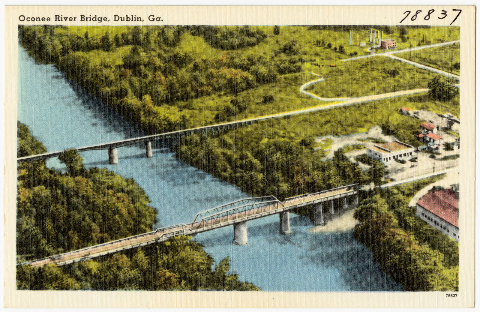

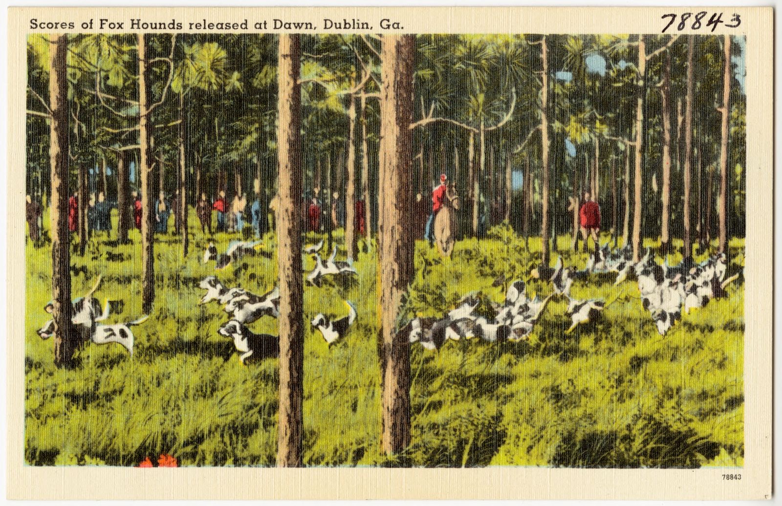

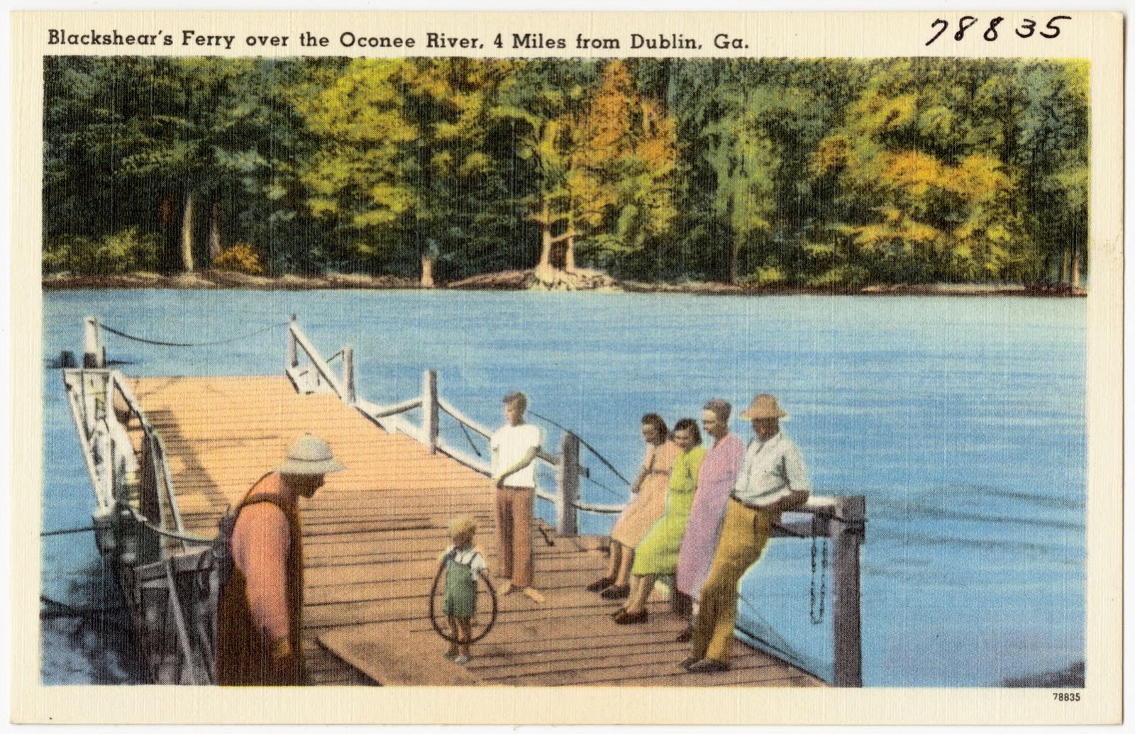
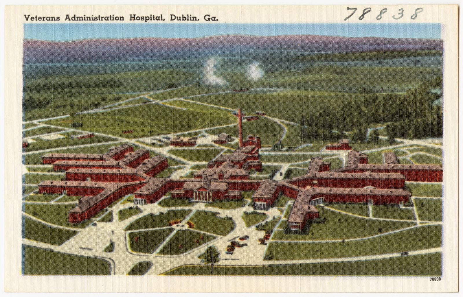

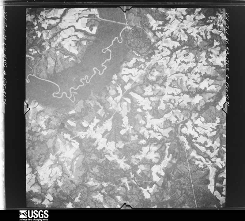
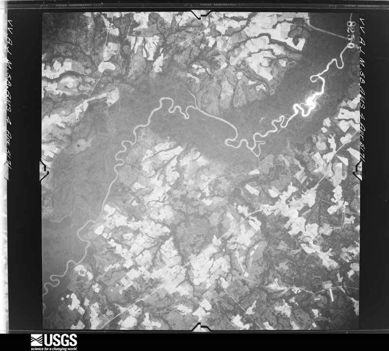
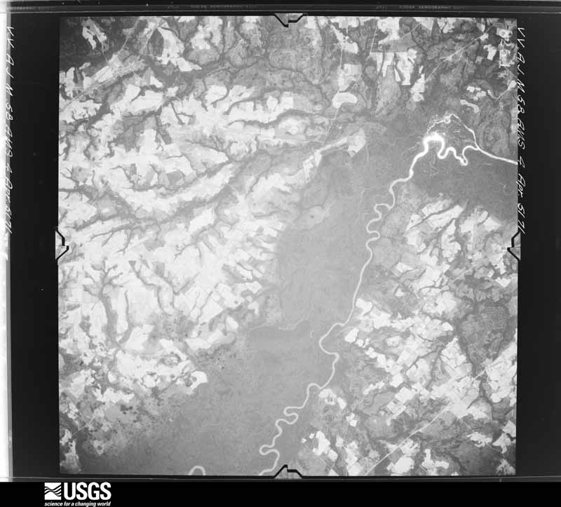
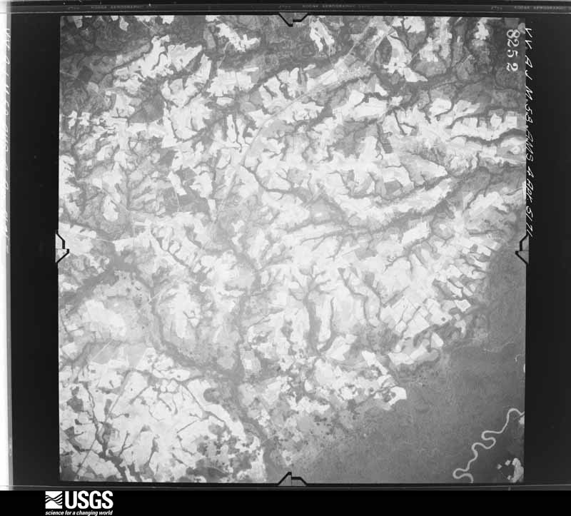
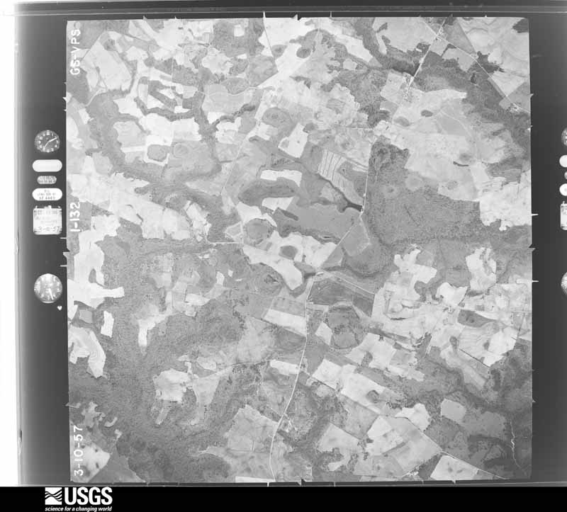
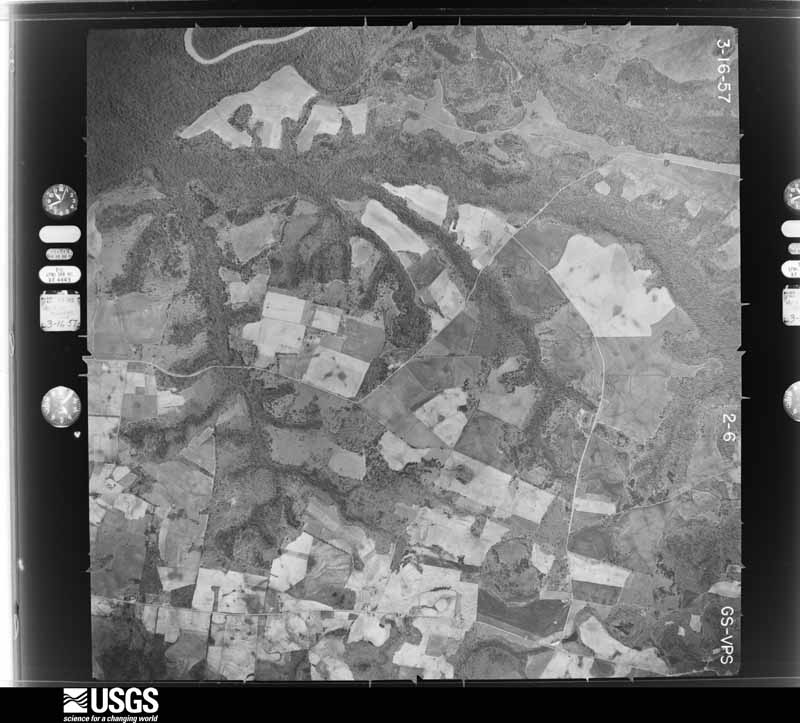
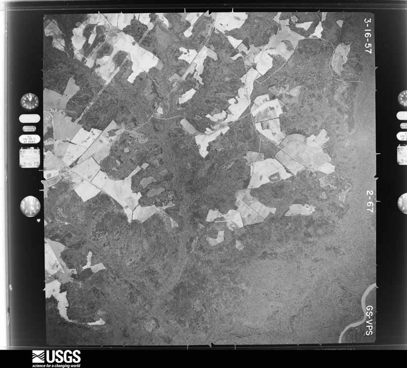
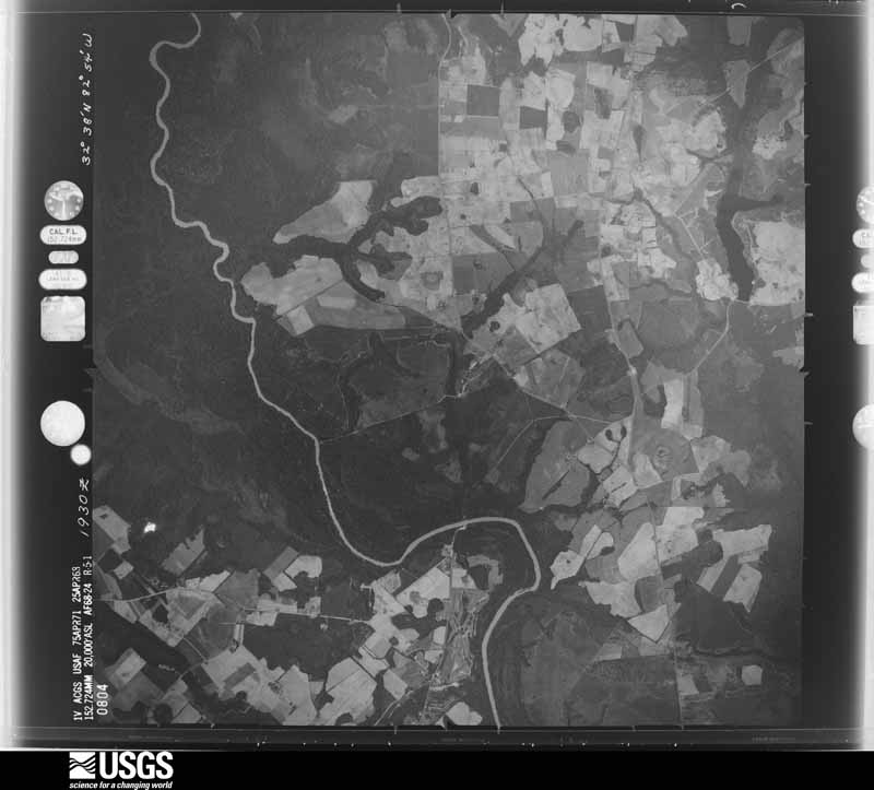
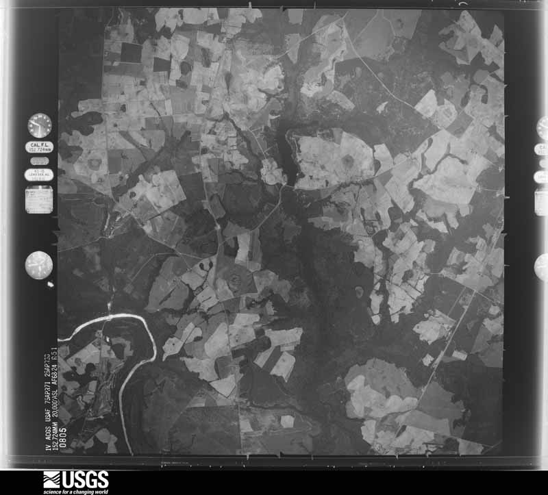
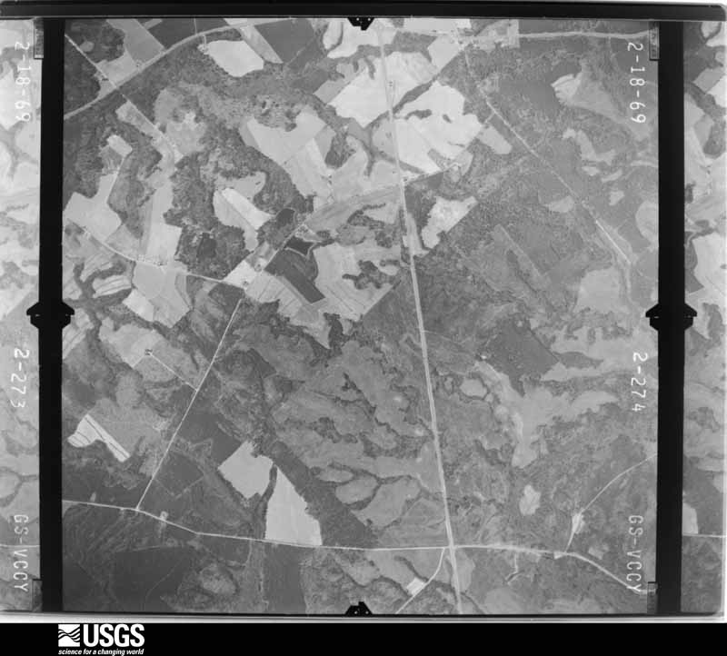
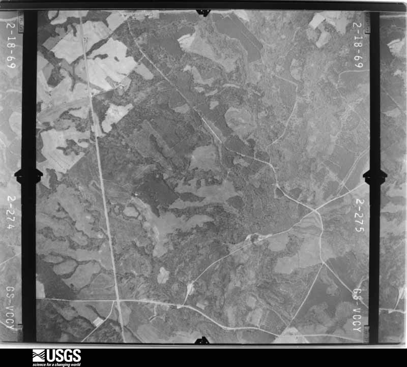
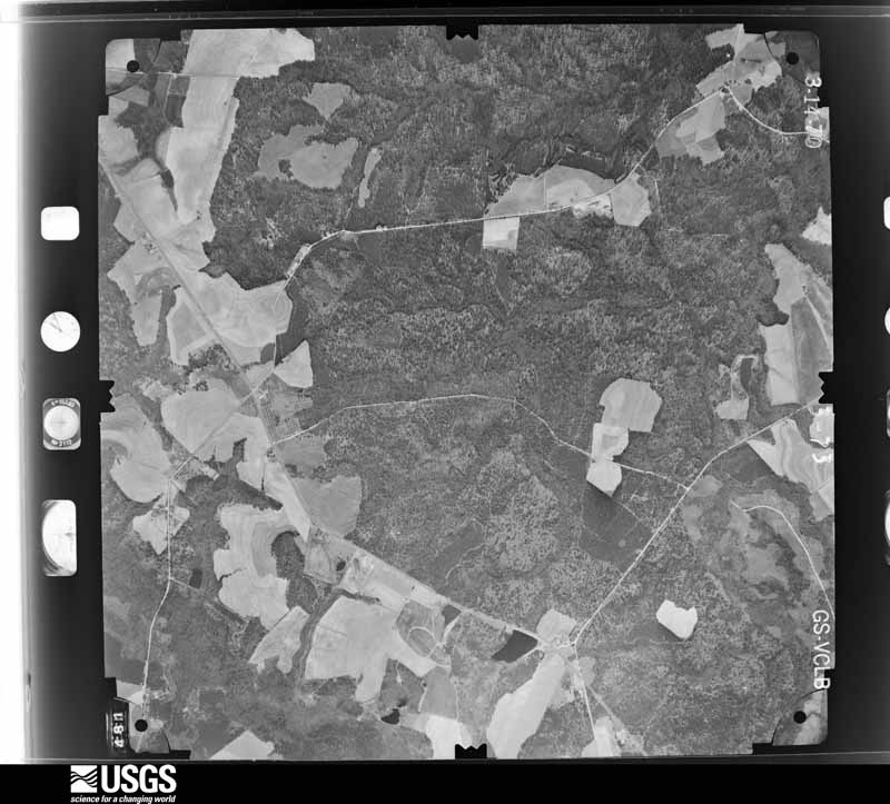
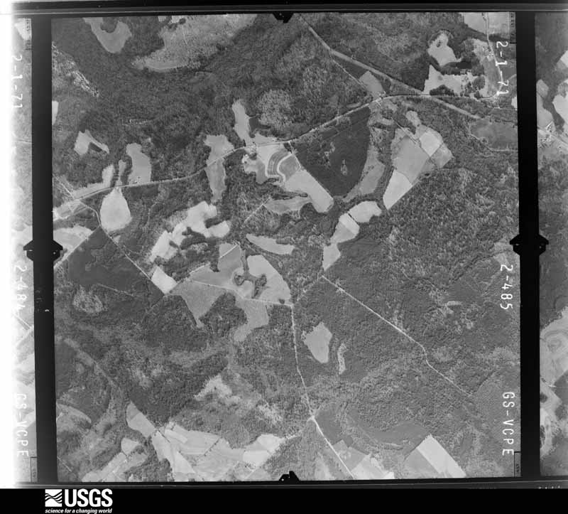
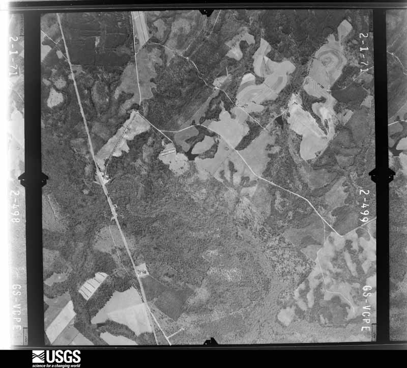
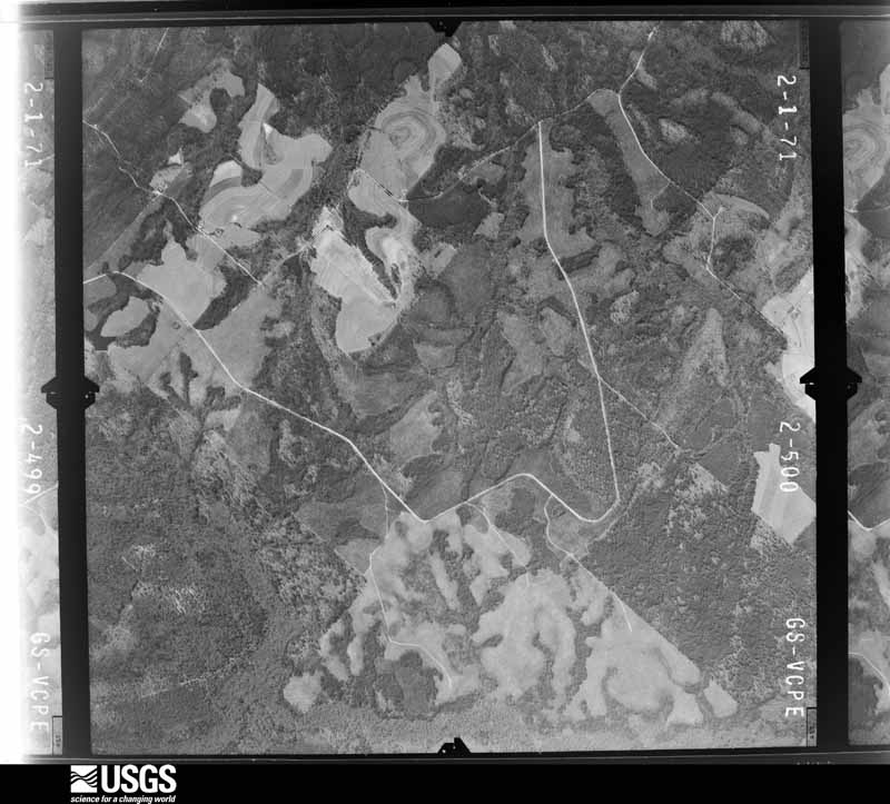
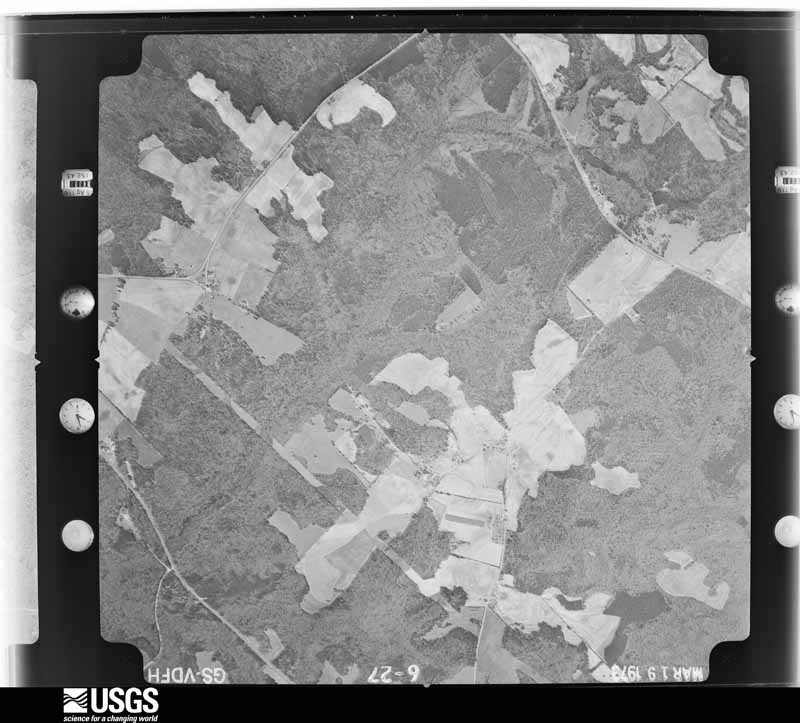
Flown by the U.S. Geological Survey between 1937 and 1989, the Aerial Photo Single Frames collection is the definitive mid-century view of the land: fields, roads and rivers as the camera saw them. The Survey holds 1,214 frames inside the rectangle that bounds this county; the 33 frames below were taken over the county itself, chosen across the decades of flights (at most four a year from that rectangle), so one flight cannot crowd out the rest. The full set is free to browse and download at EarthExplorer under the dataset Aerial Photo Single Frames.













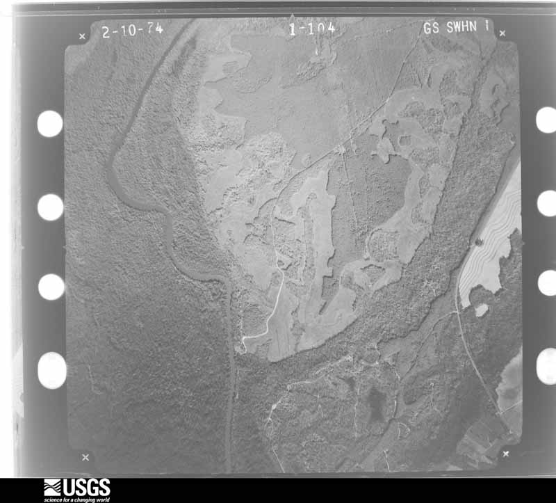
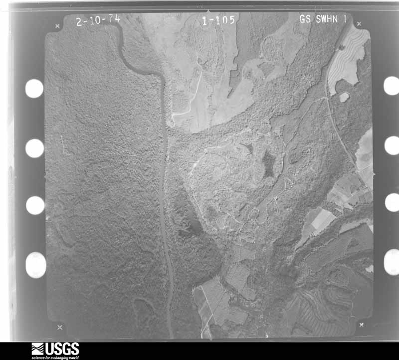
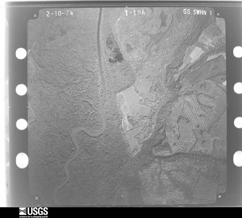
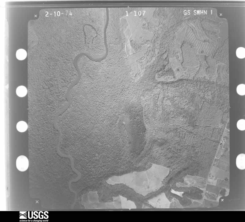
The thermometers that kept this county's weather, and the gages that measured the flow of its streams, as the federal records hold them. The extremes below are measured values from those records, not estimates.
Who lived here in 1950, one enumeration district at a time, as the Census Bureau described each district. Each row opens its official National Archives result, with Population Schedules and ED Maps available there.
Every wildfire the federal occurrence database records inside this county: 5,203 of them, burning about 12,725 acres. 256 started naturally and 553 were recorded as arson. Each settlement page carries the fires within five miles of it.
| Reported cause | Fires |
|---|---|
| Debris and open burning | 2926 |
| Equipment and vehicle use | 596 |
| Arson/incendiarism | 553 |
| Natural | 256 |
| Recreation and ceremony | 198 |
| Smoking | 193 |
| Missing data/not specified/undetermined | 187 |
| Misuse of fire by a minor | 162 |
| Railroad operations and maintenance | 132 |
The five largest, by the area the report gives. One of them was set deliberately.
| Date | Cause | Size | Reported by | Name on the report |
|---|---|---|---|---|
| 4 March 2006 | Debris and open burning | 284 acres | Georgia Forestry Commission | not named |
| 19 March 2004 | Arson/incendiarism | 177 acres | Georgia Forestry Commission | not named |
| 20 March 1994 | Smoking | 128 acres | Georgia Forestry Commission | not named |
| 28 March 2004 | Debris and open burning | 120 acres | Georgia Forestry Commission | not named |
| 24 March 2017 | Debris and open burning | 112 acres | Georgia Forestry Commission | FY2017-JOHNSON-049 |
| 25 February 2014 | Debris and open burning | 111 acres | Georgia Forestry Commission | FY2014-LAURENS-086 |
| 13 September 2005 | Equipment and vehicle use | 94 acres | Georgia Forestry Commission | not named |
| 4 January 2018 | Debris and open burning | 78 acres | Georgia Forestry Commission | FY2018LAURENS054 |
Every settlement page carries the fires within five miles of it - see the settlement index below.
The NOAA Storm Events Database holds 457 reports for this county, causing 2 deaths, 14 injuries and about $10,121,100 in recorded property damage. Each settlement page carries the reports that name it.
| Kind of event | Reports |
|---|---|
| Thunderstorm Wind | 291 |
| Hail | 92 |
| Tornado | 36 |
| Lightning | 13 |
| Flash Flood | 12 |
| Flood | 11 |
| Funnel Cloud | 1 |
| Heavy Rain | 1 |
The most serious of them, by death, then injury, then recorded damage. The accounts are quoted exactly as the forecast office filed them.
| When | Event | Place named | Harm | What the report says |
|---|---|---|---|---|
| May 2008 | Tornado (EF2) | Chappells Mill | 2 killed, 2 hurt, $1,400,000 | A damage survey conducted by the National Weather Service Forecast Office in Peachtree City, Georgia confirmed that an EF2 tornado touched down in far northern Laurens county, just south of the Wilkinson county line. The tornado initially touched down as an EF0 tornado near the intersection of Old Macon Road and Oscar Wynn Road. The tornado quickly intensified to an EF2 tornado as it tracked almost due eastward and crossed U.S. Highway 441 at the 2700 block, about seven miles northwest of Dublin, or near the intersection of U.S. Highway 441 and Evergreen Road. Here, a double-wide mobile home was destroyed and the occupants, a man and woman in their early 50s were both killed. Their two grandchildren sustained non-life threatening injuries. Another home along Evergreen Road was also destroyed as the EF2 tornado continued on its eastward track. The tornado continued eastward and weakened back to an EF0 as it crossed the Oconee River. The tornado then once again strengthened to an EF2 as it crossed Buckeye Road in the 2100 block, approximaltely four miles north-northeast of East Dublin. EF2 tornado damage was noted to a home at 2185 Buckeye Road and EF1 tornado damage to another home at 1533 Buckeye Road. In between the destruction to the homes on Evergreen Road and those on Buckeye Road, sporadic tree and power line damage was observed, mostly consistent with an EF0 intensity rating. The tornado path length was about 15 miles. A maximum path width of 250 yards was observed at the tornado crossed U.S. Highway 441 at Evergreen Road.||All together this tornado resulted in the destruction of two mobile homes, major damage to six other site built homes, some shifted off their foundations, one home with a missing roof, and many other homes with minor roof or siding damage. Numerous sheds and outbuildings were also destroyed. Several dozen trees were either uprooted or snapped off along the path of the tornado, along with several power lines. |
| April 2007 | Tornado (EF2) | Dublin | 3 hurt, $400,000 | A damage survey conducted by the National Weather Service in Peachtree City, GA confirmed that an EF2 tornado had touched down in central Laurens county, about 8.5 miles south-southwest of Dublin, or just south of Garetta, near the intersection of U.S. Highway 441/319 and Georgia Highway 117. The tornado traveled east-northeast across Turkey Creek Church Road, lifting approximately 5.5 miles south-southeast of Dublin near the Oconee River. The tornado had a path length of approximately six miles and a maximum path width of 200 yards. Maximum wind speeds were estimated at 120 mph. Most of the damage caused by the tornado was along Turkey Creek Church Road between U.S. Highway 441 and the Oconee River. A tied-down double-wide mobile home was completely destroyed along Turkey Creek Church Road resulting in two injuries. Another tied-down mobile home was destroyed in the same area with two adults and two children inside. All occupants survived, but one sustained minor injuries. The carport of a site-built home was removed as well as a portion of the roof. Several other mobile homes and site-built homes sustained minor damage from wind and fallen trees. A large greenhouse was also destroyed. A number of trees and power lines were down all along the path of the tornado. A few trees were also down just prior to the path of the tornado near Rentz and Cadwell. |
| August 1993 | Thunderstorm Wind | E Dublin | 3 hurt, $50,000 | A large tree, toppled by thunderstorm winds, damaged a mobile home and injured three people seeking shelter from the storm. |
| April 1997 | Thunderstorm Wind | Dudley | 3 hurt, $25,000 | no account filed |
| December 2000 | Thunderstorm Wind | Rentz | 1 hurt, $150,000 | The Laurens county Emergency Management director reported significant thunderstorm wind damage in the general area between Rentz and Garretta, about 6 miles southwest of Dublin. An Auto Body shop was damaged just northeast of Rentz along Georgia Highway 117 and a block house was destroyed on Doyle-Taylor Road. The roof was blown off causing the walls to cave in. Four people were in the house at the time of the incident and one was injured when a ceiling beam fell on one of the occupants. Numerous trees and power lines were also reported down across the eastern half of the county. |
| May 1995 | Thunderstorm Wind | Dublin | 1 hurt, $30,000 | Thunderstorm winds knocked over a mobile home. One person was injured. The mobile home was located off Georgia Highway 441 on State Road 46 near Lowery. |
| June 2010 | Thunderstorm Wind | Lovett | 1 hurt, $7,000 | The Laurens County Fire and Rescue Department reported that roof was blown off a pole barn at a residence three miles west of Lovett in extreme northeast Laurens county. A person in the pole barn at the time of the incident was injured by flying debris. In addition, one large pecan tree was also down in the area. |
| May 2008 | Thunderstorm Wind | Dublin | $1,000,000 | The Laurens County Emergency Management Director reported that a downburst or microburst caused extensive damage to the Cedar Grove community in southern Laurens county. Two convenience stores, located at the intersection of Georgia Highways 46 and U.S. Highway 441, just west of Cedar Grove, suffered extensive damage. At one of these convenience stores, the awning was destroyed, one of the gas pumps was blown away and found several dozen feet away, and another was bent over. There was also damage to the roof, windows and the front of the store. A home across the street also sustained some roof and siding damage. In addition, at least two barns were destroyed and a trailer was overturned with damage to other trailers at Padget's Mobile Home Park. Hundreds of trees were also blown down in the area and several roads were blocked, including Georgia Highway 46. However, there did not appear to be any evidence of a tornado. It all appeared to be from a downburst or miscroburst. Further north, wind damage was also reported. Dozens of trees were blown down in the northern and central part of the county, including Dublin. In addition, a backup radio antenna tower at the county Emergency Operations Center in Dublin was blown over and several traffic signals, street lights, and signs were down. The local electric management cooperation reported that at least 30 utility poles were blown down around the county.||In addition to property damage, at least 100 acres of oats were damaged from the strong thunderstorm winds. |
| May 2008 | Tornado (EF1) | Lowery | $900,000 | A damage survey conducted by the National Weather Service in Peachtree City, Georgia confirmed that yet a third tornado had touched down in Laurens county. This tornado was rated an EF1 tornado and touched down in southeast Laurens county, approximately one mile north of Lowrey. The tornado was short-lived and only remained on the ground for about 0.5 mile as it tracked east-southeast. However, this circulation reformed and strengthened into an EF3 tornado as it tracked into southern Truetlen county 10 minutes later. One mobile home was destroyed and numerous trees were snapped off or uprooted along the short path of the tornado. The maximum path width was estimated to be 200 yards wide. |
| May 2008 | Tornado (EF1) | Tuckers Crossroad | $900,000 | A damage survey conducted by the National Weather Service Forecast Office in Peachtree City, Georgia confirmed that yet another tornado touched down and skirted across the far northern part of Laurens county. This tornado was caused by a separate circulation, although within the same thunderstorm complex, that spawned the EF2 tornado slightly further southwest in north central Laurens county that resulted in two deaths and two injuries. This tornado touched down as an EF1 tornado in extreme northern Laurens county, approximately one mile west of Tuckers Crossroads. Near Tuckers Crossroads, one mobile home was destroyed and a manufactured home was pushed off its foundation. A truck was also moved 30 feet from its original location. The tornado continued on its eastward track into Johnson county, inflicting more damage before finally lifting just northeast of Wrightsville. Many trees were blown down along the path of the tornado. The entire path length of this tornado was 10 miles, but only 1 2/3 mile was within Laurens county. The maximum path width was estimated to be 1/3 mile. |
| February 2014 | Tornado (EF2) | Dublin Muni Arpt | $500,000 | A National Weather Service storm survey team determined that an EF2 tornado with maximum wind speeds of 124 MPH touched down just east of the airport in Dublin, where a house was destroyed. The tornado then continued east through North Dublin where damage was consistent with 100-110 MPH winds. In Dublin, 59 houses were damaged and 300-500 trees were downed as a result of this QLCS tornado. The tornado weakened as it moved through Laurens County and finally into Johnson County.|[02/21/14: Tornado #1, County #1-2, EF2, Laurens-Johnson, 2014:002]. |
| December 2005 | Tornado (F1) | Dublin | $450,000 | The Laurens County Emergency Management Director confirmed that an F1 tornado touched down in the Ben Hall Lake area, approximately seven miles northeast of Dublin, and continued on an east-northeastward track to near the town of Lovett in extreme northeast Laurens county, then into extreme western Johnson county, lifting near the town of Spann. The tornado path was determined to be approximately four miles long and 300 feet wide at its maximum. The tornado crossed U.S. Highway 319 along the Laurens/Johnson county line. Along the damage path, in addition to trees and power lines, a mobile home was destroyed and a car was turned over. |
| April 2015 | Hail | Harlow | $439,000 | The broadcast media relayed photos of baseball size hail that fell on the Academy Avenue Extension in Dublin. |
| March 2011 | Tornado (EF1) | Brewton | $250,000 | A damage survey conducted by the National Weather Service Forecast Office in Peachtree City, Georgia confirmed that an EF1 tornado touched down in northeast Laurens county, approximately 1.8 miles west of Brewton, then traveled 3.5 miles to the east, lifting approximately 1.7 miles east of Brewton. The tornado had a maximum path width of 500 yards with maximum winds estimated to be 90 mph. Thirty structures were damaged along the path of the tornado, mostly residential homes. The damage was mostly the result of large trees blown down onto the structures. A few homes sustained minor roof and siding damage independent of the downed trees. A front porch was also blown off one of the homes. Several hundred trees were blown down, snapped, or uprooted along the path of the tornado.||[03/26-03/27/11: Tornado #2, County #1-1, EF1, Laurens, 2011:002]. |
| January 1972 | Tornado (F2) | not stated | $250,000 | no account filed |
| July 2006 | Lightning | Countywide | $175,000 | The Courier Herald of Dublin reported that lightning struck a home on Lancelot Lane in Dublin. The resulting fire caused extensive damage to the bedroom and parts of the roof. Other lightning strikes were also reported in scattered rural areas of the county. A piece of farm equipment burned as a result of a lightning strike and several wooded areas were set on fire by lightning strikes. |
| April 2017 | Tornado (EF2) | Five Points | $150,000 | A National Weather Service survey team found that an EF2 tornado with maximum wind speeds of 115 MPH and a maximum path width of 400 yards touched down in southwestern Laurens County around the intersection of Evan Colter Road and Frog Hollow Road where a house sustained damage and dozens of trees were snapped and uprooted. Just east of this location, a large auto-body repair shop was destroyed along Coleman Register Road some damage occurred to nearby homes. Dozens of trees were also snapped in the area. The tornado continued moving northeast crossing Five Points Road and snapping trees before clipping home along Baker Church road. The second floor on the south side of the house was mostly destroyed. Nearby, a large, triangular radio tower was completely bent over and several outbuildings were completely destroyed. The tornado continued northeast along James Evans Road crossing US Highway 441 snapping trees and damaging the roofs of homes along the way. The tornado continued snapping and uprooting trees as it moved northeast crossing South Poplar Springs Church Road, Greg Couey Road, Hall Road, Captain Debbie Brown Highway, Rock Springs Road and eventually going over a marshy area in eastern Laurens county before crossing into Treutlen County. The team could not access the marshy area between Rock Spring Road and Highway 199 but did find damage to trees along Highway 199 and Thairdell Road indicating a continuous path through the marshy region. The Tornado crossed Mercer Creek into Treutlen County just east of Thairdell Road. No injuries were reported. [04/05/7: Tornado #7, County #1/2, EF-2, Laurens, Treutlen, 2017:066]. |
| August 2000 | Thunderstorm Wind | Dudley | $150,000 | A variety of sources, including the Dublin Courier Herald, local broadcast media, amateur radio operators, and the public reported that an apparent thunderstorm microburst caused extensive wind damage to areas from Dudley to Dublin, especially within the city of Dublin. The brunt of the damage occurred in the area between U.S. Highway 441 and U.S. Highway 80. Numerous trees and power lines were reported down throughout the area. Extensive damage occurred to the Dublin High School athletic facility. Three of four sides of fencing were damaged on the tennis court, one of the baseball dugouts was destroyed, the roof of the dugout of the softball field was lifted off, and the batting cage was blown away and crumpled up in the nearby woods. In addition, the vinyl roof was ripped off the school's greenhouse and several small pine trees on the property were blown down as well. Elsewhere, the roof was ripped off Georgia Power Company's operating headquarters on Pecan Drive. Within the city, winds blew the aluminum sheeting off the roof of Rando's Fitness in the Westgate Shopping Center and several aluminum business signs were shattered or mangled. |
| May 2011 | Hail | Harlow | $116,000 | The Laurens County 911 Center observed golf ball-sized hail. WSR-88D radar data suggests that quarter to golf ball-sized hail likely fell from just southwest of Dublin near Harlow to just northeast of East Dublin. |
| November 2011 | Thunderstorm Wind | Montrose | $100,000 | The Laurens County 911 Center reported that several trees were down across the far northern part of the county. Amateur radio operators reported that the roof was torn off a barn and a grain elevator was flipped over between Dublin and the Wilkinson/Johnson county line as well. |
| October 2010 | Hail | Dexter | $100,000 | The public observed golf ball-sized hail northeast of Dexter near Harlow. |
| November 2008 | Thunderstorm Wind | Tuckers Crossroad | $100,000 | The Laurens County Emergency Management Director and the Courier Herald of Dublin reported thunderstorm wind damage in the far northeast part of the county in the Buckeye area. A couple of homes suffered minor damage. A carport roof was blown off, underpinnings from a home were damaged, and an adjacent home had minor roof and porch damage. A pump house also suffered minor damage. A window was also broken out of a van parked in the area. From 15-20 trees were either uprooted or snapped in the area. |
| June 2007 | Thunderstorm Wind | Dexter | $100,000 | The Laurens County Emergency Management Director reported that several trees were down between Dexter and Cadwell. One home and two vehicles were damaged from downed trees. |
| April 2019 | Tornado (EF1) | Cedar Grove | $75,000 | A National Weather Service survey determined that an EF1 tornado with maximum wind speeds 90 mph and a maximum path width of 200 yards touched down in southern Laurens County along Highway 441 southwest of the intersection of Chic Inn Road and Ella Burch Road. The tornado moved northeast crossing Sudie Pearl Jones Road where numerous large trees were snapped or uprooted and the metal roof of a home was partially lifted off and thrown. The tornado continued northeast across Highway 46 and along Faulk Road downing several large trees and power lines before lifting near Oakdale Road. No injuries were reported. [04/19/19: Tornado #3, County #1/1, EF-1, Laurens, 2019:027]. |
| April 2015 | Tornado (EF1) | Alcorns | $75,000 | A NWS survey team determined that an EF-1 tornado with maximum winds of 95 MPH touched down near West Alcorn Farm Road then traveled northeast 11.57 miles before ending near Walke Dairy Road. Along the path of this tornado 200-300 trees were downed, metal roofs were blown off a barn and storage shed, and approximately 40 trees were blown onto the eastbound lanes of I-16. [04/19/15: Tornado #3, County #1-1, EF1, Laurens, 2015:007]. |
| June 2008 | Lightning | Dexter | $75,000 | The Laurens County 911 Center reported that lightning strikes resulted in two structural fires in the Cadwell area and a grass fire in the Dexter area. |
| April 2007 | Tornado (EF1) | Dublin | $75,000 | An areal and ground damage survey conducted by the National Weather Service in Peachtree City, Georgia confirmed that yet another tornado struck the eastern and northeast portion of Laurens county. This was the third tornado to touch down in Laurens county within an hour. It is believed that this tornado originated from the same thunderstorm that produced the tornado across central Laurens county a little earlier, which caused three injuries just south of Dublin. This tornado was rated an EF1. The track began approximately five miles southeast of Dublin and tracked northeast to east-northeast across the northeast portion of the county and crossed into Johnson county about eight miles east of Brewton. The tornado then continued well into Johnson county, lifting about five miles southwest of Kite. Fourteen miles of the approximately 19 mile long intermittent tornado path was within Laurens county. The maximum path width was 100 yards. The maximum wind speed in the tornado was estimated to be 100 mph. Several outbuildings along the path of the tornado were either damaged or destroyed, but the most significant structural damage with this tornado occurred in Johnson county. Several trees were blown down along the path of the tornado. |
| January 1998 | Thunderstorm Wind | Dublin | $75,000 | Severe thunderstorm winds destroyed a barn and knocked trees down onto a mobile home. Several other trees were uprooted and windows were blown out of a home and a barber shop. |
| June 1998 | Thunderstorm Wind | Dublin | $75,000 | Newspaper accounts of the evening's storm said there were trees down, storage buildings and barns destroyed and trees down on houses. The worst hit area was northwest of Dublin in the highways 338 and 441 area. A tree was also blown down southeast of town which blocked 1 lane of I-16. |
| June 2023 | Thunderstorm Wind | Bender | $60,000 | Tree down along Wayne Road near 19. |
| August 1999 | Lightning | East Dublin | $60,000 | A newspaper reported a lightning stike caused a fire which destroyed a cabinet shop. |
| June 2010 | Thunderstorm Wind | Dublin | $55,000 | The Laurens County Emergency Management Director reported that nearly a dozen trees were down across the western and northwestern part of the county. Trees were down on Interstate-16, Cautin Lane, Macon Road, Laurenwood Road, and Steel Breeze Road. A mobile home on Laurenwood Road was destroyed by a downed tree and trees were down on two power lines on Macon Road. |
| March 2021 | Thunderstorm Wind | Cadwell | $50,000 | The Laurens County Emergency Manager reported numerous trees and power lines blown down across the county in a swath around 15 miles wide from around Cadwell across Dublin to Lovett. |
| May 2011 | Hail | Dublin | $50,000 | The Laurens County Emergency Management Director observed half-dollar-sized hail in the Dublin area. WSR-88D radar data suggests that hail quarter to half-dollar size likely continued east of Dublin to south of Brewton. Damage was reported to vehicles in the area. |
| May 2008 | Thunderstorm Wind | Montrose | $50,000 | A damage survey conducted by the National Weather Service in Peachtree City, Georgia and additional information received from the Laurens County Emergency Management Director concluded that extensive straight-line wind damage affected nearly all of Laurens county in addition to three separate tornadoes that tracked across the county, two in the north and one in the southeast part of the county. Numerous trees and power lines were downed throughout the county, but especially the northern sections. |
| April 2007 | Tornado (EF0) | Cedar Grove | $50,000 | A damage survey conducted by the National Weather Service office in Peachtree City, Georgia confirmed that yet a second tornado had touched down in southern Laurens county. The tornado occurred almost simultaneously with the first tornado that tracked just south of Dublin. This tornado touched down about 4.0 miles north-northeast of the town of Cedar Grove and tracked east-northeast lifting about 1.5 miles north-northeast of Lowrey in southeast Laurens county. The total path length of the tornado was approximately six miles with a maximum path width of 50 yards. The maximum determined wind speed was 80 mph. Numerous trees were downed along the path of the tornado, which tracked through a mostly forested area. However, a few outbuildings were damaged near Mortan and Rock Springs Road. |
| December 2000 | Thunderstorm Wind | Dudley | $50,000 | The Laurens county Emergency Management Directory reported that an Auto Paint and Body shop was severely damaged just north of Dudley on Rock Road. The roof was blown off and the walls caved in. In addition, trees and power lines were blown down in the same general area. |
| September 1999 | Thunderstorm Wind | Dublin | $50,000 | Laurens county 911 and newspaper accounts reported thunderstorm winds knocked trees and power lines down, and caused roof damage to some buildings. Underpinnings were blown from mobile homes in the St Charles area. There was also damage to one wall of a fire station. Two center pivot irrigation systems on U.S. 80 east of town were turned upside down and destroyed. |
| September 1999 | Lightning | East Dublin | $50,000 | A newspaper reported lightning started a fire at a house on Ferry Street, causing heavy damage. |
| June 1994 | Thunderstorm Wind | Dudley | $50,000 | Thunderstorm winds damaged the roofs of several barnes and downed numerous trees and power lines. |
| November 1996 | Tornado (F1) | Dexter | $50,000 | no account filed |
| March 2003 | Flash Flood | Countywide | $40,000 | The Laurens county Emergency Management Director reported that excessive rainfall during the early morning hours resulted in the extensive flooding of roads countywide, ten of which were washed out. Thirty roads had to be closed because of flooding, including U.S. Highway 441/Georgia Highway 19 south of Dublin. Six of these roads remained closed for more than 24 hours so that emergency repairs could be made. Three residences had to be evacuated because of rising runoff waters and two vehicles were abandoned in rising flood waters. However, no rescues had to be made. The rainfall and runoff stopped just short of causing major damage to roads in the county, thus repair costs were minimal. The county schools had to be released early on the 20th because of the extensive flooding and road closures in progress across the county. |
| August 2018 | Lightning | Nameless | $30,000 | The Laurens County Emergency Manager reported a barn burned to the ground due to a lightning strike in the 3000 block of Highway 338 south of Dexter. |
| May 2011 | Thunderstorm Wind | Dublin | $30,000 | The Laurens County 911 Center reported that a tree was down on Georgia Highway 19 just south of Dublin. The tree fell on and caused damage to a house and a vehicle. |
| July 2006 | Thunderstorm Wind | Dublin | $30,000 | The Courier Herald of Dublin reported that over a dozen trees were blown down around the city as a result of a thunderstorm downburst. Trees and street signs were blown down throughout the city. Air Controlled Incorporated had a portion of its roof blown off and thrown into the trees behind the building. A large oak tree also fell on a home in the city causing damage to the structure. The Laurens County 911 Center also reported that at least two power poles were down as a result of downed trees. This thunderstorm was very isolated and one of only a few that developed in the area that day. |
| February 1996 | Thunderstorm Wind | East Dublin | $30,000 | no account filed |
| May 2017 | Tornado (EF0) | Moores | $25,000 | A National Weather Service survey team found that an EF0 tornado with maximum wind speeds of 80 MPH and a maximum path width of 240 yards touched down just off |Valambrosia Road where it downed a few trees. The tornado moved northeast crossing Clover Leaf Lane where it blew some metal trim off of a mobile home and collapsed a small metal carport. The debris was strewn in the wooded area behind the mobile home and several pine trees were uprooted at this location. As the tornado crossed Irish Lane, a number of hardwood and softwood trees were uprooted. The tornado continued northeastward, downing between 20 and 40 trees on the railroad tracks near Moore Station Road. Further northeast, trees were intermittently snapped or uprooted. The tornado lifted near Fairview Park Hospital on Industrial Boulevard where the tops were blown out of a couple of pine trees. No injuries were reported. [05/24/17: Tornado #6, County #1/1, EF-0, Laurens, 2017:080]. |
| June 2015 | Thunderstorm Wind | Westbrook | $25,000 | The Laurens County Emergency Manager reported several trees down near Highway 165 near the Laurens/Dodge County line and numerous trees down in the Dublin area. Several structure fires were reported in Dublin initiated by lightning strikes. |
| June 2010 | Thunderstorm Wind | Dexter | $25,000 | The Laurens County Emergency Management Director reported widespread wind damage across the southwest portion of the county, generally south of Interstate-16. More than a dozen trees were blown down and at least minor damage reported to one building. A few power lines were also down in the same general area. |
| June 2009 | Lightning | Dublin | $25,000 | The Laurens County Fire and Rescue Department reported that lightning set several hundred hay bales on fire in a field in the far northeastern part of the county, north of Dublin. |
| February 2008 | Thunderstorm Wind | Rentz | $25,000 | The Laurens County Emergency Management Director reported that a mobile home and a carport to a home along David Mullis road just northeast of Rentz were damaged from thunderstorm winds gusts. |
| June 2007 | Thunderstorm Wind | Rentz | $25,000 | The Laurens County Emergency Management Director reported that about 25 trees were blown down between Rentz and Dexter, several blown down on structures. This likely the result of a downburst. One aluminum carport was also damaged. In addition, two power lines were also down. |
| May 2007 | Lightning | Dublin | $25,000 | The Courier Herald of Dublin reported that lightning struck the Graham Memorial Church of the Nazarene. Damage was confined to the steeple and inside water damage from heavy rain and fire fighting water hoses. |
| June 2002 | Thunderstorm Wind | Cadwell | $25,000 | The Courier-Herald of Dublin reported that thunderstorm winds caused considerable damage in Cadwell. Trees and power lines were blown down throughout the area. One home had a tree fall through its roof and a city shed had half of its roof torn off. Trees were reported down on U.S. Highway 441 and Georgia Highway 117. |
| July 2000 | Thunderstorm Wind | Countywide | $25,000 | The Dublin Courier Herald reported that within a 2 hour period a nearly stationary thunderstorm knocked trees down on several county roads and power lines in Laurens county. Lloyd, Hubert, and Brookdale Drive were all blocked by trees. In addition, a tree fell on a vehicle in Rentz. The downed power lines, along with numerous cloud-to-ground lightning strikes, knocked the power out to most of the county during the afternoon and evening. |
| July 1977 | Tornado (F1) | not stated | $25,000 | no account filed |
| June 2018 | Thunderstorm Wind | Condor | $20,000 | The Laurens County Emergency Manager reported thunderstorm wind damage across the eastern portion of the county from East Dublin to west of Adrian. Part of a roof was removed from a parsonage along Dewey Warnock Road where an irrigation system was also overturned and several trees were blown down. Several more trees were blown down around the intersection of Highway 86 and Orianna Road. |
| March 2013 | Thunderstorm Wind | Dudley | $20,000 | The Laurens County 911 Center reported that numerous trees were blown down across the county. |
| June 2009 | Thunderstorm Wind | Dublin | $20,000 | The Laurens County 911 Center reported that around 100 or more trees were down across the county. Doppler radar data suggests that the strongest winds with these thunderstorms tracked from the northeast corner, north of Dublin, south-southwest to the southwest corner of the county, southwest of Cedar Grove. |
| July 2000 | Thunderstorm Wind | Minter | $20,000 | The Laurens county 911 center reported extensive damage to a home. The roof was blown off and the house sustained considerable additional damage. |
The Survey's mineral resources record lists 7 workings inside this county. 2 still produce and 5 are closed or unrecorded. Each settlement page carries the workings within five miles of it.
| Commodity | Workings |
|---|---|
| Sand and Gravel, Construction | 7 |
The least common of them first, because a county's hundredth gravel pit says nothing its first ten did not.
| Where | Site | Commodity | Status | Recorded |
|---|---|---|---|---|
| Allen Pit | Sand and Gravel, Construction | Past Producer | ||
| Brown Sand Pit | Sand and Gravel, Construction | Occurrence | ||
| East Dublin | Sand and Gravel, Construction | Occurrence | ||
| Holmes Mine | Sand and Gravel, Construction | Past Producer | ||
| Unnamed Sand Deposit | Sand and Gravel, Construction | Occurrence | Alluvium | |
| Unnamed Sand Deposit | Sand and Gravel, Construction | Producer | Alluvium | |
| Unnamed Sand Pit | Sand and Gravel, Construction | Producer | Alluvium |
Named settlements recorded in the Geographic Names Information System, each with the topographic sheets covering it. Villages, hamlets and abandoned places alike. Each is shown with the nearest named watercourse or landform and the survey quadrangle it falls on. The 1 place that was also surveyed for fire insurance comes first, with the number of atlases and photographs held for them.
Dublin census division · 31021 · On Hunger and Hardship Creek · Dublin quadrangle
8 sheets, 1957 to 1988
Fire insurance: 8 atlases
Dexter census division · 31012 · On Big Stitchihatchie Branch · Dexter quadrangle
8 sheets, 1957 to 1988
Brewton census division · 31002 · Scott quadrangle
7 sheets, 1957 to 1988
No longer a settlement
Dudley census division · 31065 · Dudley quadrangle
8 sheets, 1957 to 1988
No longer a settlement
Dexter census division · 31019 · On Gin House Branch · Dexter quadrangle
8 sheets, 1957 to 1988
East Dublin census division · 31027 · On Hunger and Hardship Creek · East Dublin quadrangle
8 sheets, 1957 to 1988
Rentz census division · 31075 · On Bluewater Creek · Rentz quadrangle
8 sheets, 1957 to 1988
Cedar Grove census division · 31021 · Lowery quadrangle
8 sheets, 1957 to 1988
No longer a settlement
Dublin census division · 31021 · On Strawberry Creek · Dublin quadrangle
8 sheets, 1957 to 1988
Brewton census division · 31002 · Scott quadrangle
7 sheets, 1957 to 1988
No longer a settlement
Dudley census division · 31022 · On Bay Branch · Danville East quadrangle
8 sheets, 1957 to 1988
East Dublin census division · 31027 · Minter quadrangle
9 sheets, 1957 to 1988
No longer a settlement
Brewton census division · 31027 · East Dublin quadrangle
8 sheets, 1957 to 1988
No longer a settlement
Rentz census division · 31075 · On Reedy Springs Branch · Rentz quadrangle
8 sheets, 1957 to 1988
No longer a settlement
Dexter census division · 31019 · On Little Stitchihatchie Branch · Dexter quadrangle
8 sheets, 1957 to 1988
No longer a settlement
Dexter census division · 31019 · On Whitley Branch · Dexter quadrangle
8 sheets, 1957 to 1988
No longer a settlement
Dexter census division · 31021 · On Stitchihatchie Creek · Dexter quadrangle
8 sheets, 1957 to 1988
Cedar Grove census division · 31021 · On Ochwalkee Creek · Lowery quadrangle
8 sheets, 1957 to 1988
No longer a settlement
Cadwell census division · 31009 · On Big Branch · Jay Bird Springs quadrangle
8 sheets, 1957 to 1988
No longer a settlement
Dudley census division · 31021 · On Horse Branch · Dudley quadrangle
8 sheets, 1957 to 1988
The vanished settlements of Laurens County: the places named above that are no longer on the map.
8 topographic sheets and 8 fire insurance atlases, 1885 to 1947
The complete index, with nothing left out. Each of these is a separate record with its own page: a federal survey report, or the case file that argued a property on to the National Register. Both are public domain and reproduced word for word.
The vanished settlements of Laurens County, the places these records name that are no longer on the map.