 Block
From the record
3 National Register listings published here.
Sources: the National Register database, National Park Service
30 topographic sheets cover 23 settlements here, and 3 properties are on the National Register of Historic Places.
3 National Register listings published here.
Sources: the National Register database, National Park Service
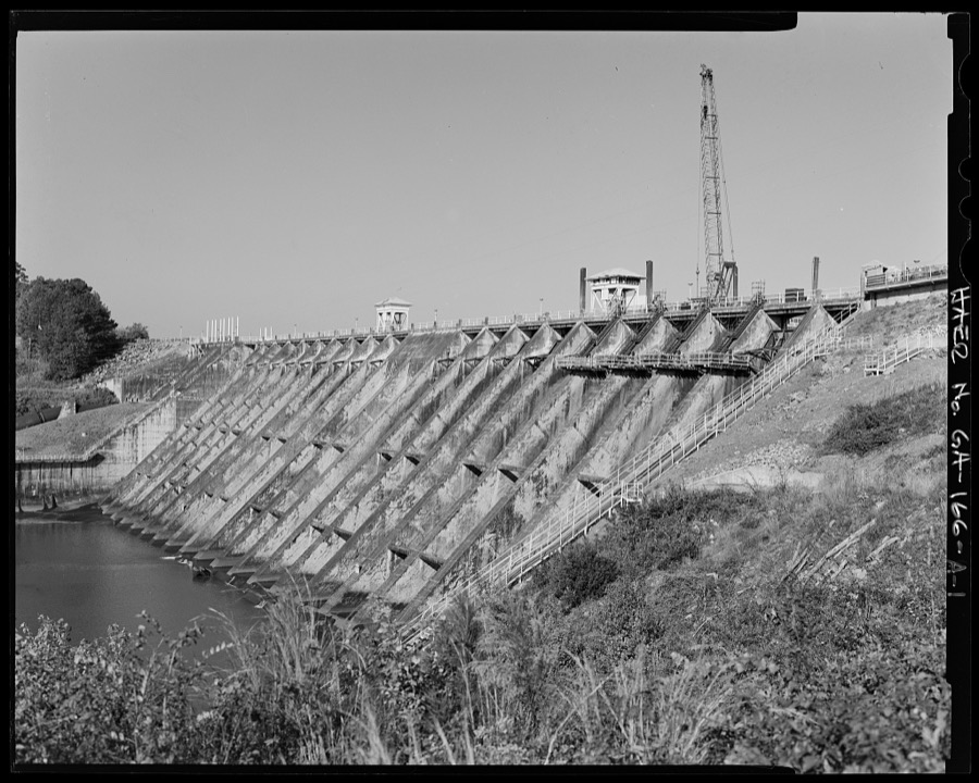
Taken for the Office of War Information and the Farm Security Administration, who photographed the country between 1935 and 1944. Works of United States government photographers, with no known restriction on use. Each opens its catalogue record.
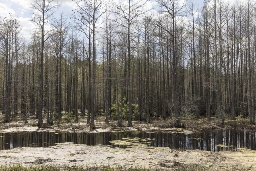
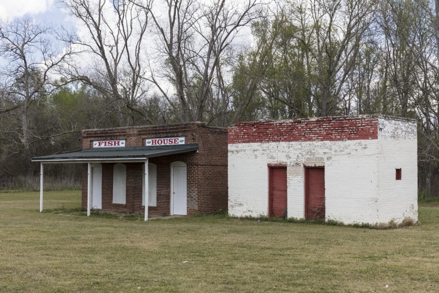
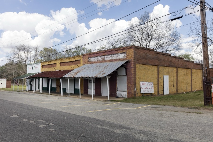
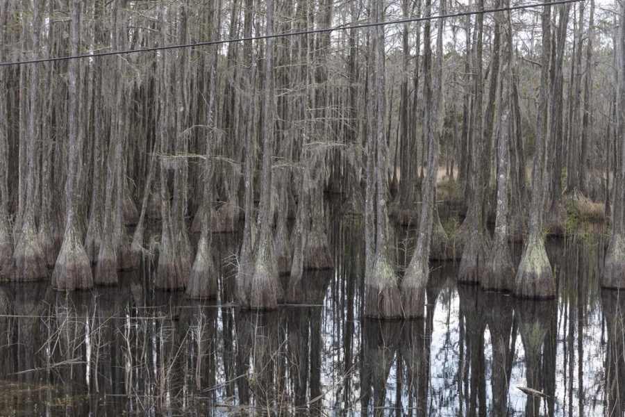
Every property in this county listed on the National Register of Historic Places, with the year it was listed and the federal nomination document.
| Photograph | Property | Type | Listed | Reference |
|---|---|---|---|---|
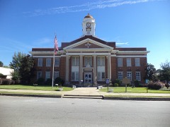 | Lee County Courthouse | building | 1980 | 80001104 |
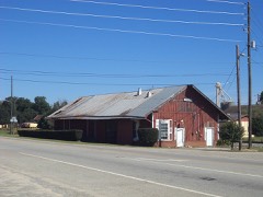 | Leesburg Depot | building | 2008 | 08000395 |
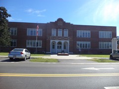 | Leesburg High School | building | 2006 | 05001595 |
Sampled issues, machine-read from the Library of Congress scan and published page by page, so every headline and column is searchable text.
Leesburg, Georgia; Leesburg, Ga., 1904 to 19??. Machine-read from the Library of Congress scan.
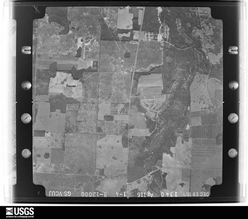
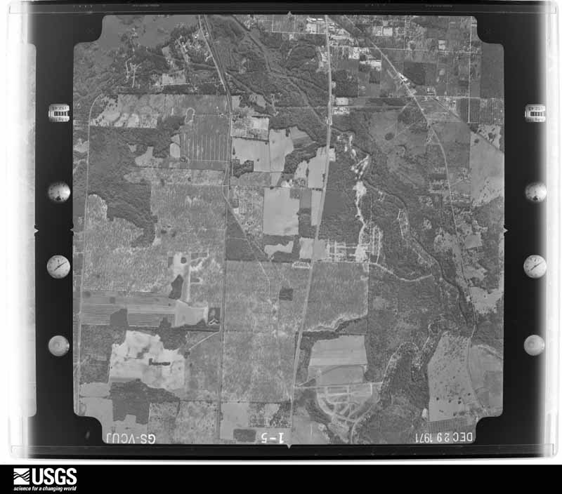
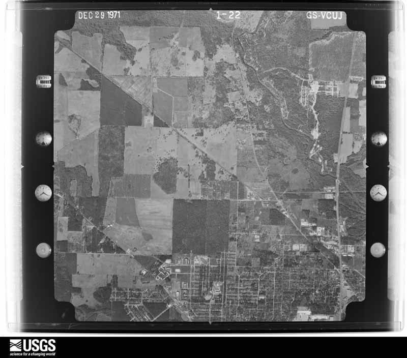
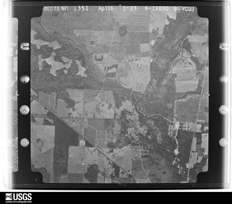
Flown by the U.S. Geological Survey between 1937 and 1989, the Aerial Photo Single Frames collection is the definitive mid-century view of the land: fields, roads and rivers as the camera saw them. The Survey holds 452 frames inside the rectangle that bounds this county; the 12 frames below were taken over the county itself, chosen across the decades of flights (at most four a year from that rectangle), so one flight cannot crowd out the rest. The full set is free to browse and download at EarthExplorer under the dataset Aerial Photo Single Frames.
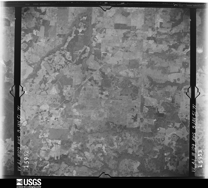
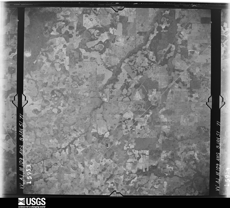
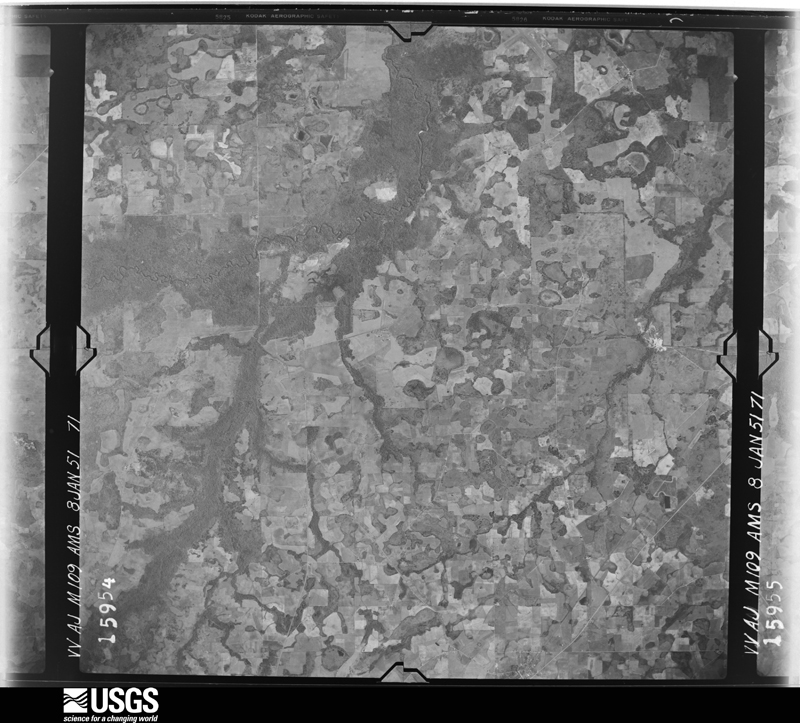
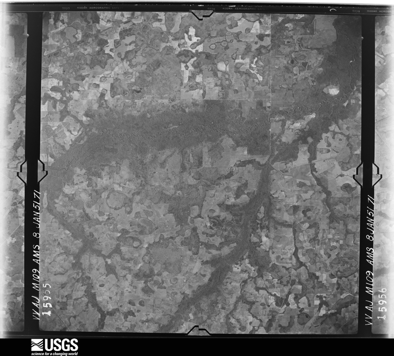
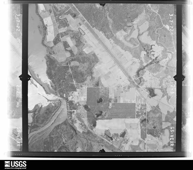
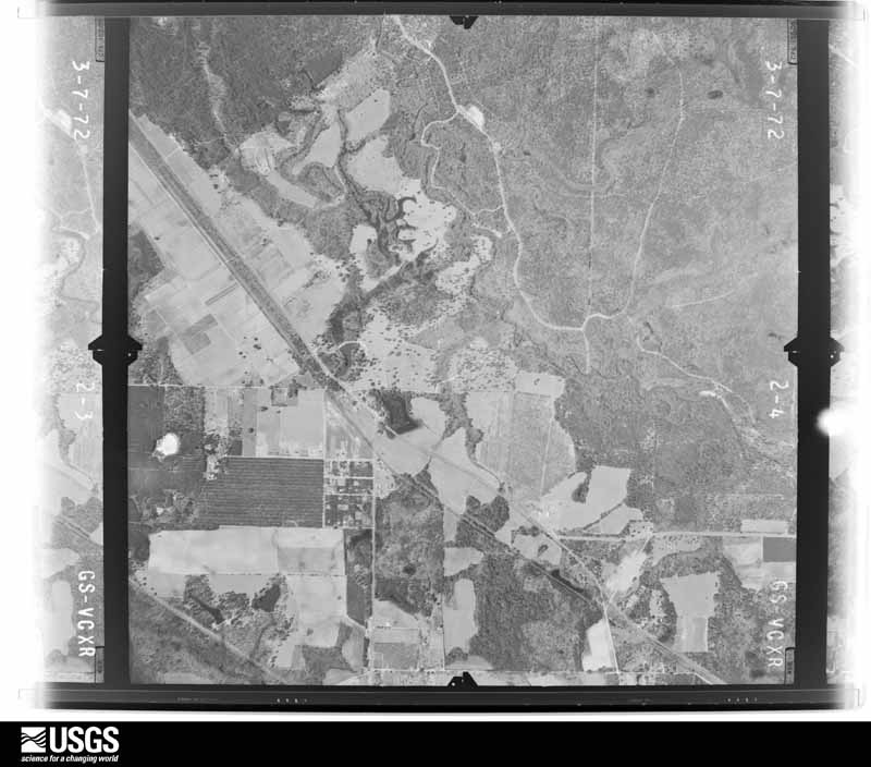
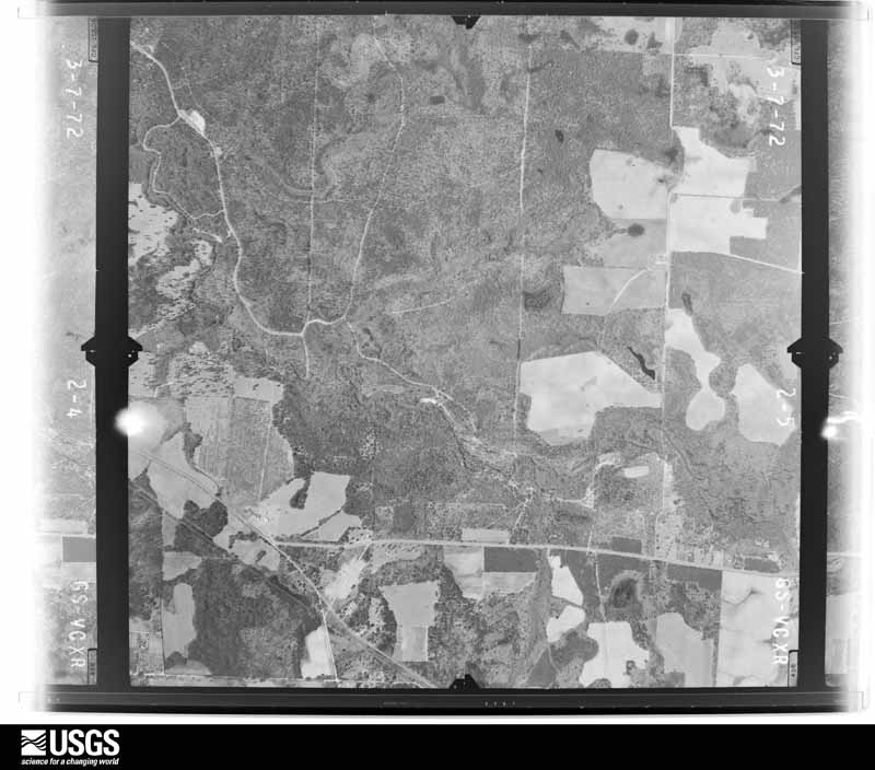
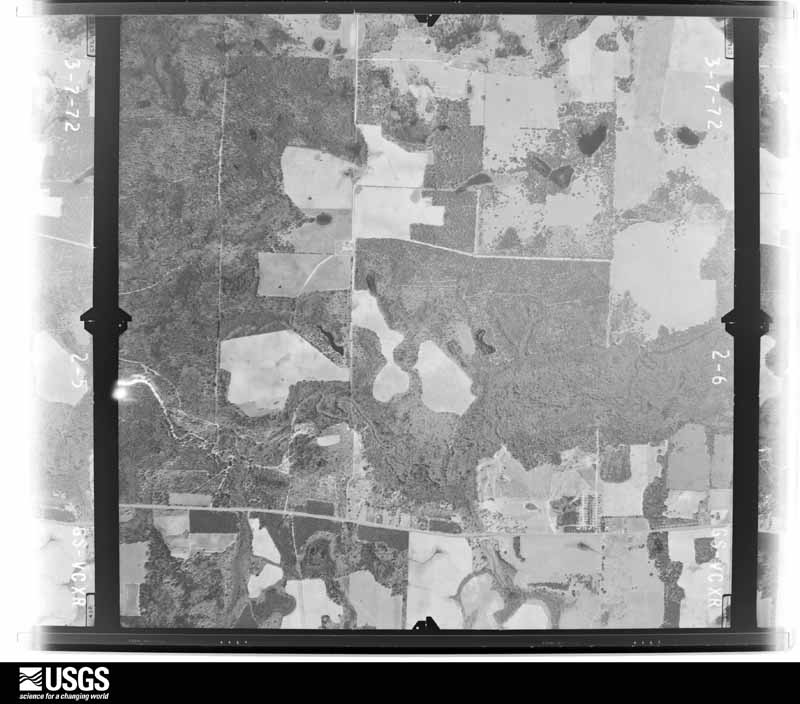
The thermometers that kept this county's weather, and the gages that measured the flow of its streams, as the federal records hold them. The extremes below are measured values from those records, not estimates.
Who lived here in 1950, one enumeration district at a time, as the Census Bureau described each district. Each row opens its official National Archives result, with Population Schedules and ED Maps available there.
Every wildfire the federal occurrence database records inside this county: 1,016 of them, burning about 3,684 acres. 34 started naturally and 128 were recorded as arson. Each settlement page carries the fires within five miles of it.
| Reported cause | Fires |
|---|---|
| Debris and open burning | 635 |
| Arson/incendiarism | 128 |
| Equipment and vehicle use | 84 |
| Misuse of fire by a minor | 73 |
| Natural | 34 |
| Missing data/not specified/undetermined | 33 |
| Smoking | 15 |
| Recreation and ceremony | 8 |
| Railroad operations and maintenance | 6 |
The five largest, by the area the report gives. One of them was set deliberately.
| Date | Cause | Size | Reported by | Name on the report |
|---|---|---|---|---|
| 4 March 2017 | Debris and open burning | 210 acres | Georgia Forestry Commission | FY2017-LEE-016 |
| 17 March 2007 | Debris and open burning | 165 acres | Georgia Forestry Commission | not named |
| 28 May 2011 | Natural | 112 acres | Georgia Forestry Commission | FY2011-LEE-046 |
| 9 March 2010 | Debris and open burning | 106 acres | Georgia Forestry Commission | FY2010-LEE-009 |
| 23 May 2004 | Arson/incendiarism | 92 acres | Georgia Forestry Commission | not named |
| 5 July 2012 | Natural | 81 acres | Georgia Forestry Commission | FY2013-LEE-001 |
| 28 March 2006 | Debris and open burning | 74 acres | Georgia Forestry Commission | not named |
| 26 May 2012 | Debris and open burning | 60 acres | Georgia Forestry Commission | FY2012-LEE-016 |
Every settlement page carries the fires within five miles of it - see the settlement index below.
The NOAA Storm Events Database holds 235 reports for this county, causing 3 deaths, 34 injuries and about $52,663,450 in recorded property damage. Each settlement page carries the reports that name it.
| Kind of event | Reports |
|---|---|
| Thunderstorm Wind | 145 |
| Hail | 36 |
| Flash Flood | 24 |
| Tornado | 15 |
| Flood | 10 |
| Funnel Cloud | 2 |
| Lightning | 2 |
| Heavy Rain | 1 |
The most serious of them, by death, then injury, then recorded damage. The accounts are quoted exactly as the forecast office filed them.
| When | Event | Place named | Harm | What the report says |
|---|---|---|---|---|
| October 1993 | Tornado (F2) | Albany to | 3 killed, 27 hurt, $50,000,000 | A tornado struck a subdivision five miles north of Albany and killed three people and injured another 27. At least 42 homes were destroyed or severely damaged. Also, fifteen mobile homes were completely destroyed by the F2 tornado. The three fatalities occurred in a mobile home and all three victims bodies were blown 75 to 150 feet away from the dwelling. Most of the damaged or destroyed homes were two story with brick or stucco exterior. Several residents noted that the tornado sounded like a freight train as it passed overhead. One elderly lady stated that her dog became restless and started barking 20 minutes before the tornado struck her home. Continuous lightning was observed by several residents prior to and after the tornado touchdown. Several cars were destroyed by fallen trees or wind blown debris. Most of the trees downed by the tornado winds were 60 to 70 feet tall Southern Pine. Most trees were snapped in half and laid to rest in a general northeast direction. Property damage estimates topped $12 million dollars. The tornado stayed on the ground most of its lifetime and varied in width from one-quarter to one-half mile. The damage path was approximately five miles long and ran in a SW to NE direction. The forward speed of the tornado was 60 miles an hour. (F32M)(M14M)(M8M) |
| December 1969 | Tornado (F2) | not stated | 7 hurt, $25,000 | no account filed |
| April 2007 | Tornado (EF1) | Leesburg | $500,000 | A tornado touched down near the Terrell-Lee county line on State Highway 32. Fifteen structures were damaged. A mobile home and frame home were destroyed. One woman was trapped in the bathroom of her home but was not injured. Numerous trees and power lines were down. Nearly 1,000 homes lost power. |
| March 2021 | Tornado (EF1) | Century | $250,000 | This tornado touched down near the intersection of U.S. Route 19 and Century Road East where a pine tree was snapped. Further east on Century Road, the tornado snapped another large pine and did considerable structural damage to the property. About 60% of the roof of well-built home was removed. A substantial carport was ripped off the home and tossed several feet. One wall segment of a large garage was sucked outward. The tornado did not do any appreciable damage to houses to the right or left of this residence. After moving over an unpopulated swamp area, the tornado snapped several softwood pines and uprooted several large hardwood trees at 669 Lovers Lane Road. The tornado crossed another sparsely populated swampy area and may have briefly lifted before uprooting more trees on Middle Road North. These were felled in crosswise fashion. The final damage area was on New York Road. A large live oak tree was uprooted and fell into a home. Several other large trees on the property were also uprooted. Just up the road, the tornado was sighted by a homeowner as it crossed their property, destroying a shed, tossing a trampoline and snapping a pine tree. The tornado then likely lifted over an open field beyond this property as no further damage was noted northeast of New York Road. Damage along the entire route was consistent with an EF-1 tornado with tops winds of 100 mph. |
| December 2015 | Flood | Smithville | $250,000 | Significant flooding occurred within the Kinchafoonee Creek basin as well as the lower portions of the Muckalee Creek basin. The Kinchafoonee crested at its 3rd highest stage on record, causing significant damage to homes in the area, especially along Century Road. Some homes on North Hampton Road also received flooding from Muckalee Creek. The damage cost was estimated. |
| December 2002 | Thunderstorm Wind | Southwest Portion | $250,000 | Six homes were heavily damaged and 20 homes received minor damage along a path from just southwest of Palmyra to Leesburg. A school and church also sustained damage. There were numerous downed trees and power lines. A state of emergency was declared. Reported by a SKYWARN spotter and GEMA. |
| May 1984 | Tornado (F1) | not stated | $250,000 | no account filed |
| May 2006 | Thunderstorm Wind | Countywide | $125,000 | The Lee County Sheriff reported numerous trees down throughout the county. Some mobile homes were damaged by fallen trees. |
| April 2022 | Tornado (EF1) | Chokee | $100,000 | A tornado touched down southwest of the intersection of New York Rd and Larsen Rd in Lee County shortly before 3:30 pm EDT. The tornado caused considerable tree damage as it moved northeastward towards Lake Blackshear. There was also roof damage to several homes along the path. The damage in Lee county was consistent with an EF1 tornado with winds of approximately 105 mph. The start point was based on a combination of radar data and video of the tornado initiation found on social media. This tornado continued into Sumter County. |
| December 2018 | Flash Flood | Oakland | $100,000 | Multiple roads were flooded and closed across the county with approximately 20-30 homes with water in them. |
| April 2011 | Thunderstorm Wind | Starksville | $75,000 | Six wood power transmission poles 12 to 14 inches in diameter were snapped and doors were blown out at the Ag Research Center near U.S. Highway 19. The monetary damage figure provided is a rough estimate. |
| August 2025 | Flash Flood | Armena | $50,000 | Several inches of water was reported in some homes along Red Tip Lane, Wax Myrtle Dr, Ivy Lane, and Loblolly Lane. |
| April 2022 | Thunderstorm Wind | Oakland | $50,000 | Trees and wires were blown down at the Plantation Mobile Home Park. One tree fell onto a mobile home. |
| March 2020 | Thunderstorm Wind | Stocks | $50,000 | A tree fell through a home near Graves Spring Road. |
| February 2016 | Tornado (EF1) | Chokee | $50,000 | This tornado touched down briefly at this location with a path length of less than one half mile. There was significant damage to a mobile home roof, along with the complete removal of an asphalt roof of a single family home. This tornado was rated EF1 with max winds estimated around 105 mph. Damage cost was estimated. |
| July 2015 | Lightning | Armena | $50,000 | Lightning started a house fire and caused damage on Westerlee Drive in Lee county via WALB-TV. Damage was estimated. |
| July 1999 | Thunderstorm Wind | Northwest Portion | $50,000 | Lee County EMA reported a mobile home destroyed by a fallen tree. |
| October 1997 | Thunderstorm Wind | Leesburg | $50,000 | High winds downed power lines in Leesburg. |
| August 2006 | Thunderstorm Wind | Countywide | $35,000 | The Lee County EMA reported numerous downed trees and power lines throughout the county. Several structures were also damaged. |
| April 2015 | Thunderstorm Wind | Leesburg | $25,000 | Several trees and power lines were blown down with some trees uprooted. In addition, a roof was blown off a building in Leesburg. |
| April 2009 | Thunderstorm Wind | Leesburg | $25,000 | A downburst downed many trees and damaged several storage sheds. |
| January 1990 | Tornado (F0) | not stated | $25,000 | no account filed |
| August 1966 | Tornado (F2) | not stated | $25,000 | no account filed |
| March 1952 | Tornado (F1) | not stated | $25,000 | no account filed |
| April 2021 | Thunderstorm Wind | Stocks | $20,000 | Stocks Dairy Road was closed due to trees down. There was also roof damage in the area. |
| April 1996 | Thunderstorm Wind | Neyami | $20,000 | no account filed |
| April 2017 | Thunderstorm Wind | Palmyra | $15,000 | A tree was blown down onto a house off of Stuart Road. |
| June 2025 | Hail | Stocks | $10,000 | Hail damaged the roof, then water started to leak into the attic. |
| May 2021 | Thunderstorm Wind | Leesburg | $10,000 | Numerous trees down with power outages across the county. |
| April 2014 | Lightning | Oakland | $10,000 | The media reported a house fire due to lightning on Willow Lake Drive. Monetary damage was estimated. |
| February 2008 | Thunderstorm Wind | Leesburg | $10,000 | A metal roof was blown off of a single wide trailer on U.S. Highway 19. |
| December 2004 | Thunderstorm Wind | Leesburg | $10,000 | A home suffered roof damage. Reported by the Lee County Sheriff. |
| August 1999 | Thunderstorm Wind | Southeast Portion | $10,000 | WALB-TV Albany reported numerous downed trees and power lines. |
| March 2011 | Thunderstorm Wind | Oakland | $7,000 | Two roofs were damaged at the same building complex. The monetary damage figure provided is a rough estimate. |
| May 2020 | Thunderstorm Wind | Leesburg | $5,000 | Trees were blown down on Canal Street and power lines were blown down on Walnut Street at the intersection of Callaway Street. Several hundred power outages were also reported in the area. |
| July 2019 | Thunderstorm Wind | Oakland | $5,000 | A power line and six trees were blown down, mainly along Highway 82. |
| March 2011 | Tornado (EF0) | Leesburg | $5,000 | A brief tornado touchdown was confirmed on the north and east side of Leesburg. People reported seeing debris circulating in the air with minor damage to light poles, trees, and outbuildings. The monetary damage figure provided is a rough estimate. |
| June 2002 | Flash Flood | Countywide | $5,000 | Some rural and county roads were closed by floodwaters from four inches of rain in a two-hour period. Reported by the Lee County EMA. |
| March 1993 | Thunderstorm Wind | Leesburg | $5,000 | Several large tree limbs were downed from thunderstorm winds. |
| January 2017 | Thunderstorm Wind | Byne Crossroads | $3,000 | Fallen trees or limbs resulted in power outages southwest of Leesburg. |
| July 2016 | Thunderstorm Wind | Chokee | $3,000 | The Sumter EMC reported power outages in northern Lee county due to a combination of trees and tree limbs falling on the lines. Damage was estimated. |
| July 2015 | Thunderstorm Wind | Palmyra | $3,000 | Numerous trees were blown down on Ledo Road as reported by WFXL-TV. Damage was estimated. |
| July 2015 | Thunderstorm Wind | Stocks | $3,000 | Power lines were blown down on Big Oak Dr. |
| April 2014 | Thunderstorm Wind | Leesburg | $3,000 | Several trees were blown down across Lee county. |
| July 2012 | Thunderstorm Wind | Smithville | $3,000 | Trees and power lines were blown down around Smithville. Monetary damage was estimated. |
| July 2012 | Thunderstorm Wind | Scrutchins | $3,000 | The Lee county 911 dispatch reported several trees down on Highway 377. Monetary damage was estimated. |
| July 2011 | Thunderstorm Wind | Smithville | $3,000 | Several trees were blown down on Church Street in Smithville. The monetary damage figure provided is a rough estimate. |
| September 2011 | Thunderstorm Wind | Jordan Place | $3,000 | A few trees were blown down in the western part of the county. The monetary damage figure provided is a rough estimate. |
| August 2002 | Thunderstorm Wind | Countywide | $3,000 | Several downed trees and power lines. Power outages at Leesburg. Reported by the Lee County Sheriff. |
| May 1989 | Tornado (F1) | not stated | $2,500 | no account filed |
| February 1973 | Tornado (F0) | not stated | $2,500 | no account filed |
| January 2026 | Thunderstorm Wind | Forrester | $2,000 | A blown transformer occurred near Publix along Highway 19. |
| April 2023 | Thunderstorm Wind | Smithville | $2,000 | Power lines were blown down in Smithville. |
| June 2023 | Thunderstorm Wind | Forrester | $2,000 | Three transformers were blown near the Publix. |
| June 2020 | Thunderstorm Wind | Starksville | $2,000 | A tree was blown down in the backyard of a resident and damaged a shed. |
| April 2020 | Thunderstorm Wind | Starksville | $2,000 | A tree was blown down onto a power line. |
| August 2017 | Thunderstorm Wind | Philema | $2,000 | A few power outages occurred due to wind near Philema. |
| July 2016 | Thunderstorm Wind | Smithville | $2,000 | Multiple trees and a power line were blown down around Smithville. |
| June 2014 | Thunderstorm Wind | Chokee | $2,000 | A tree was blown down onto a power line along Batts Road. |
| June 2014 | Thunderstorm Wind | Smithville | $2,000 | Media relayed a report of trees down and damage to a shed along Airport Road near Smithville. |
The Survey's mineral resources record lists 3 workings inside this county. 2 still produce and 1 is closed or unrecorded. Each settlement page carries the workings within five miles of it.
| Commodity | Workings |
|---|---|
| Stone, Crushed/Broken | 2 |
| Sand and Gravel, Construction | 1 |
The least common of them first, because a county's hundredth gravel pit says nothing its first ten did not.
| Where | Site | Commodity | Status | Recorded |
|---|---|---|---|---|
| Leesburg Sand Co Mine | Sand and Gravel, Construction | Producer | ||
| Albany Quarry | Stone, Crushed/Broken | Producer | ||
| Dobson Mine | Stone, Crushed/Broken | Past Producer |
Named settlements recorded in the Geographic Names Information System, each with the topographic sheets covering it. Villages, hamlets and abandoned places alike. Each is shown with the nearest named watercourse or landform and the survey quadrangle it falls on.
Philema census division · 31763 · On Negro Head Branch · Albany NE quadrangle
10 sheets, 1953 to 1981
Smithville census division · 31787 · Smithville West quadrangle
7 sheets, 1953 to 1981
No longer a settlement
Philema census division · 31763 · On White Oak Branch · Leslie SE quadrangle
10 sheets, 1953 to 1981
Philema census division · 31743 · On Hawkins Branch · Warwick quadrangle
7 sheets, 1953 to 1988
No longer a settlement
Philema census division · 31701 · Albany NE quadrangle
10 sheets, 1953 to 1981
No longer a settlement
Leesburg census division · 31763 · On Fowltown Creek · Leesburg quadrangle
10 sheets, 1953 to 1981
Philema census division · 31763 · On Philema Branch · Leslie SE quadrangle
10 sheets, 1953 to 1981
Leesburg census division · 31763 · On White Oak Branch · Neyami quadrangle
9 sheets, 1953 to 1981
Philema census division · 31763 · Albany NE quadrangle
10 sheets, 1953 to 1981
No longer a settlement
The vanished settlements of Lee County: the places named above that are no longer on the map.
The complete index, with nothing left out. Each of these is a separate record with its own page: a federal survey report, or the case file that argued a property on to the National Register. Both are public domain and reproduced word for word.
The vanished settlements of Lee County, the places these records name that are no longer on the map.