 Block
From the record
11 National Register listings published here, 2 of them National Historic Landmarks.
Sources: the county history on the Internet Archive · the National Register database, National Park Service
78 topographic sheets cover 60 settlements here, and 11 properties are on the National Register of Historic Places.
11 National Register listings published here, 2 of them National Historic Landmarks.
Sources: the county history on the Internet Archive · the National Register database, National Park Service
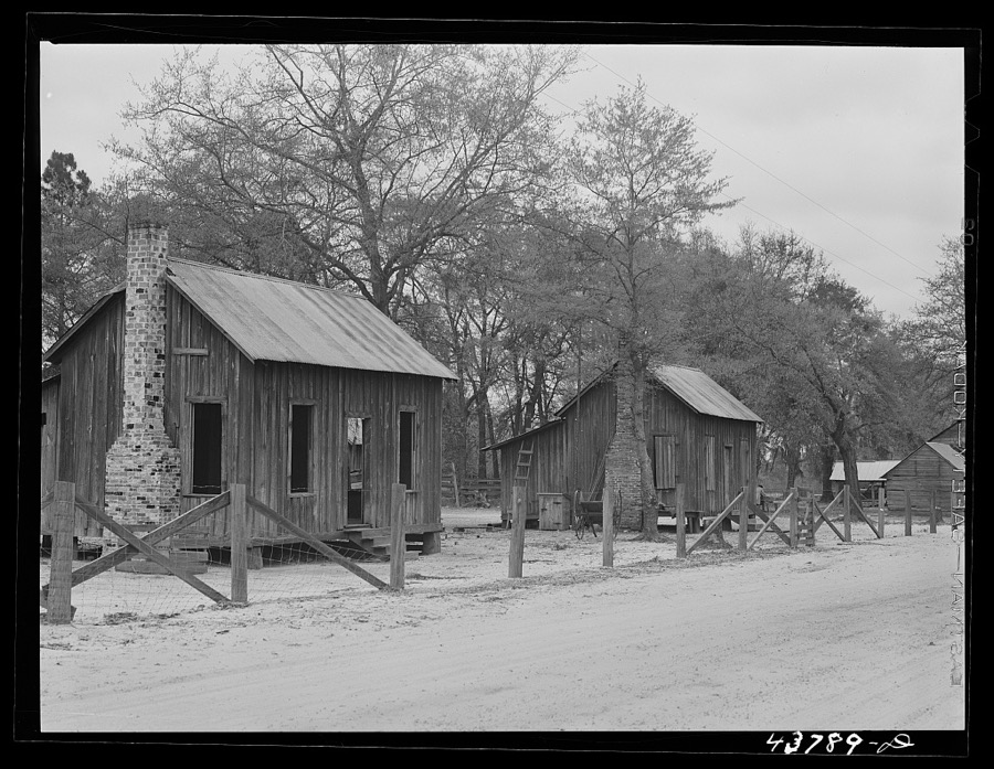
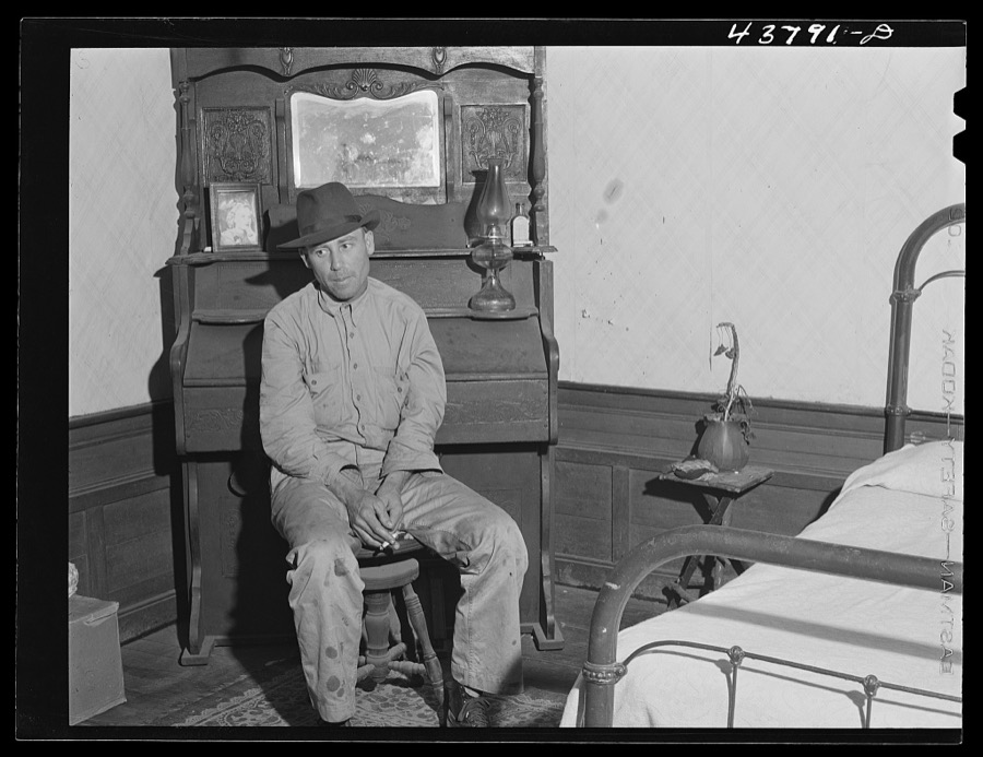
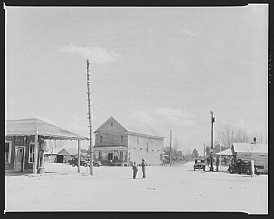
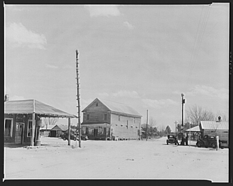
Taken for the Office of War Information and the Farm Security Administration, who photographed the country between 1935 and 1944. Works of United States government photographers, with no known restriction on use. Each opens its catalogue record.
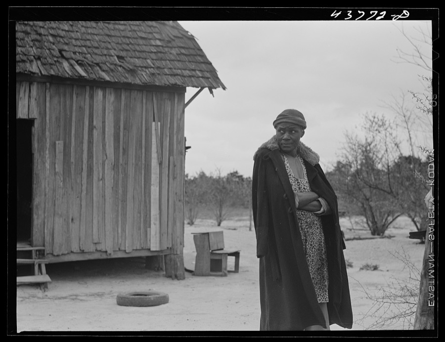


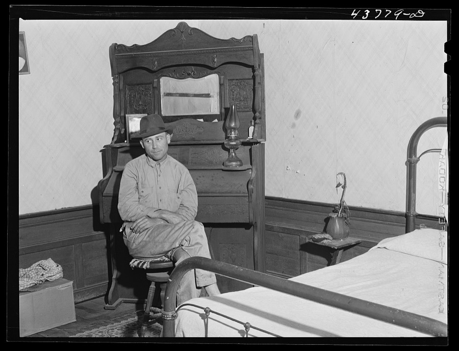
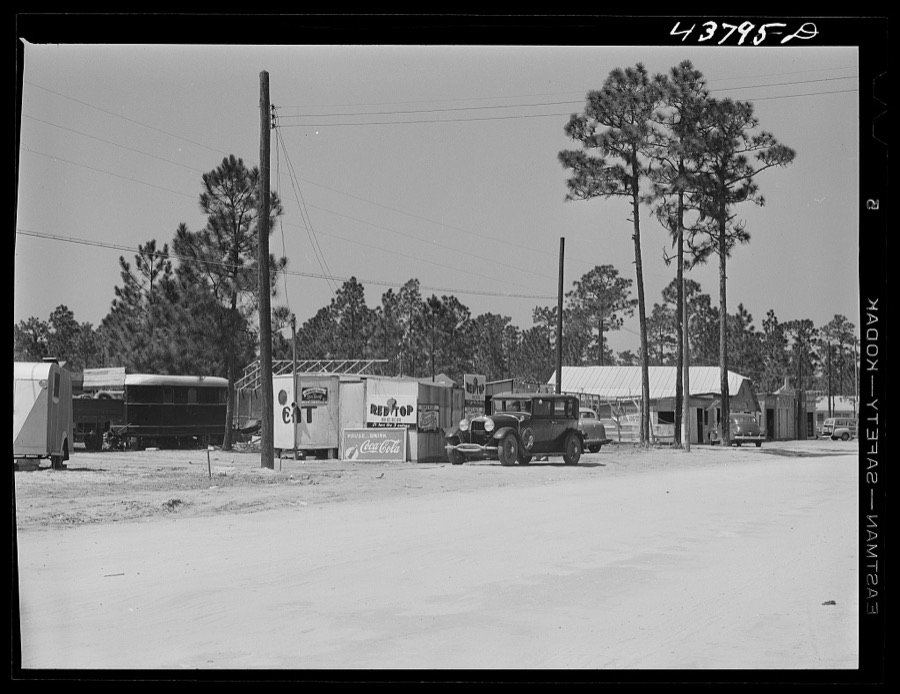
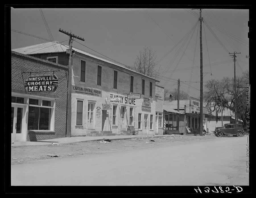

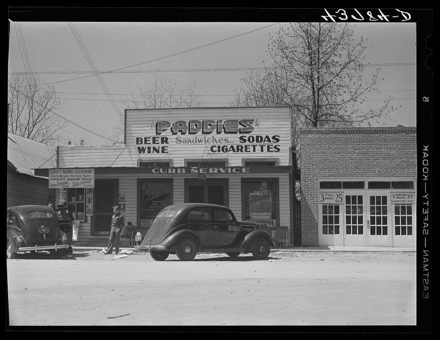
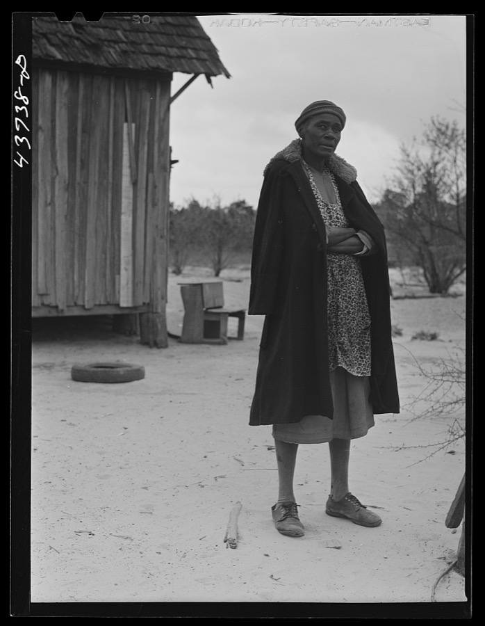
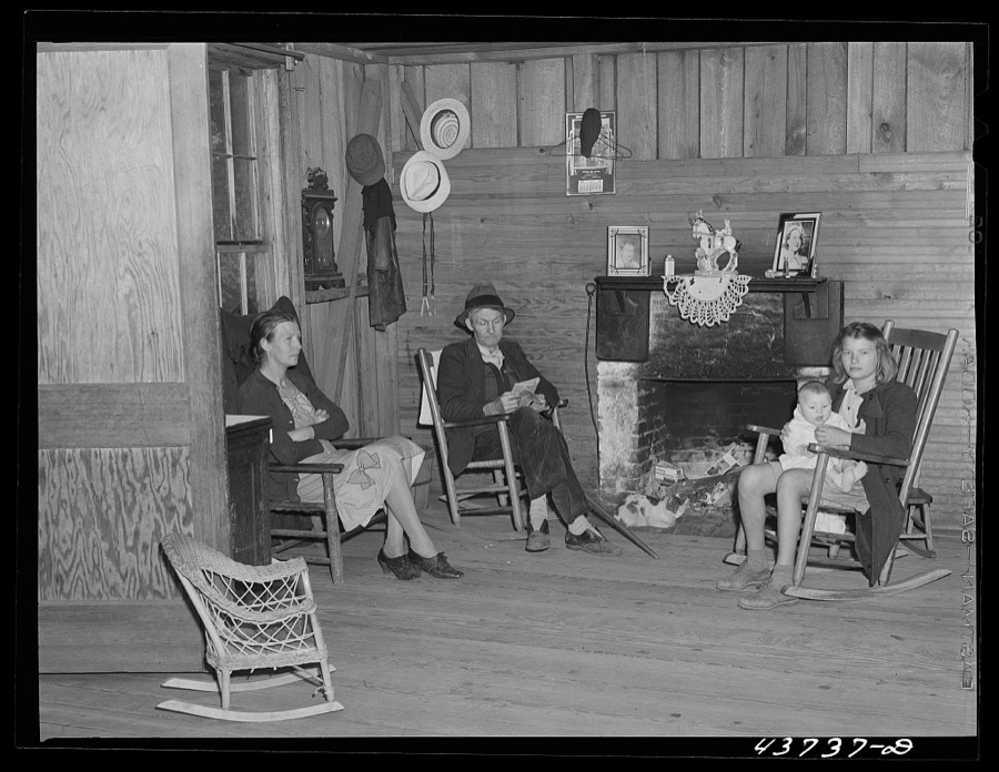
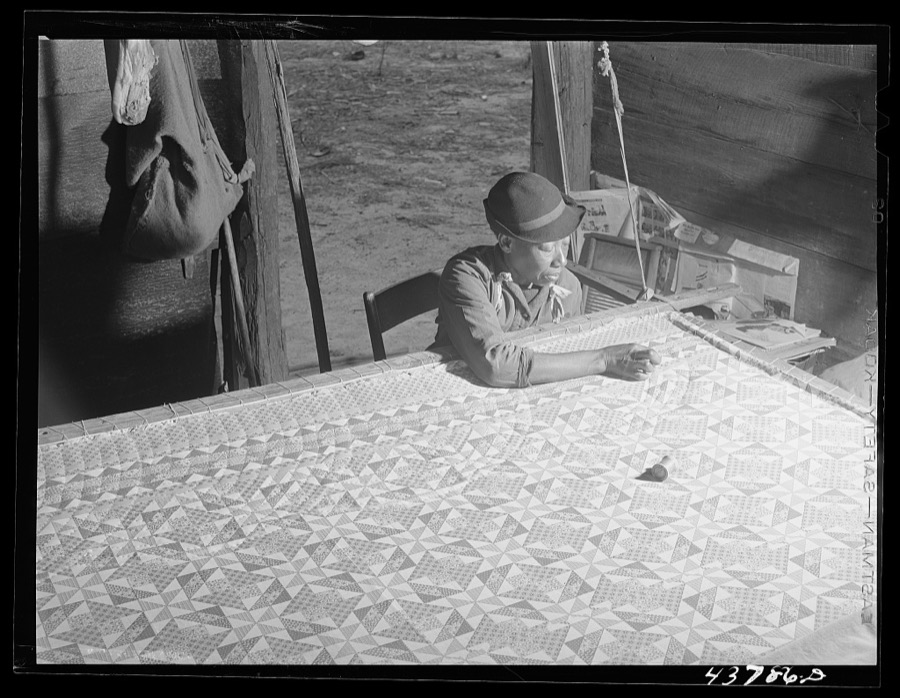
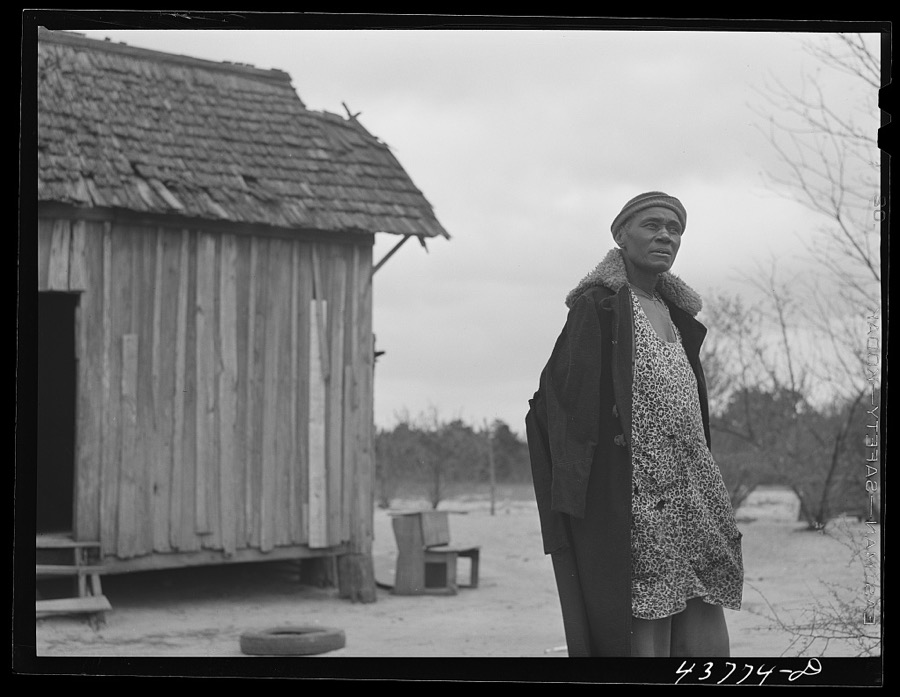
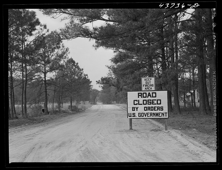
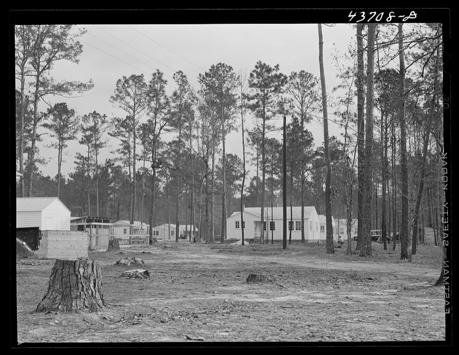
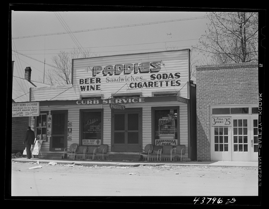
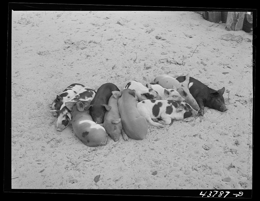
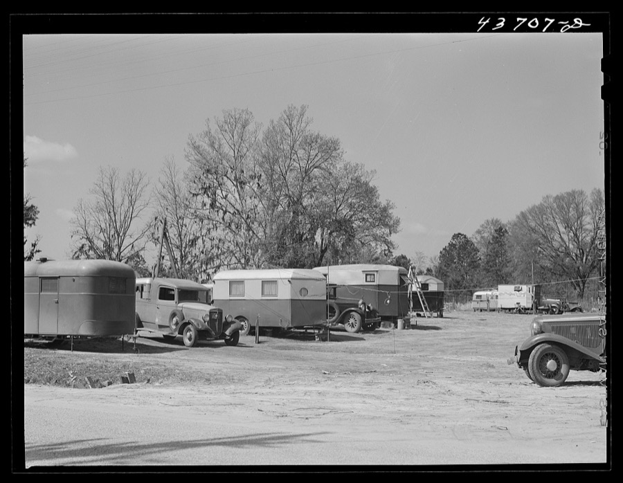
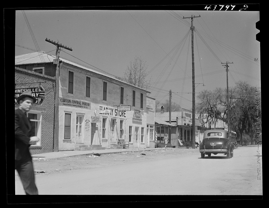
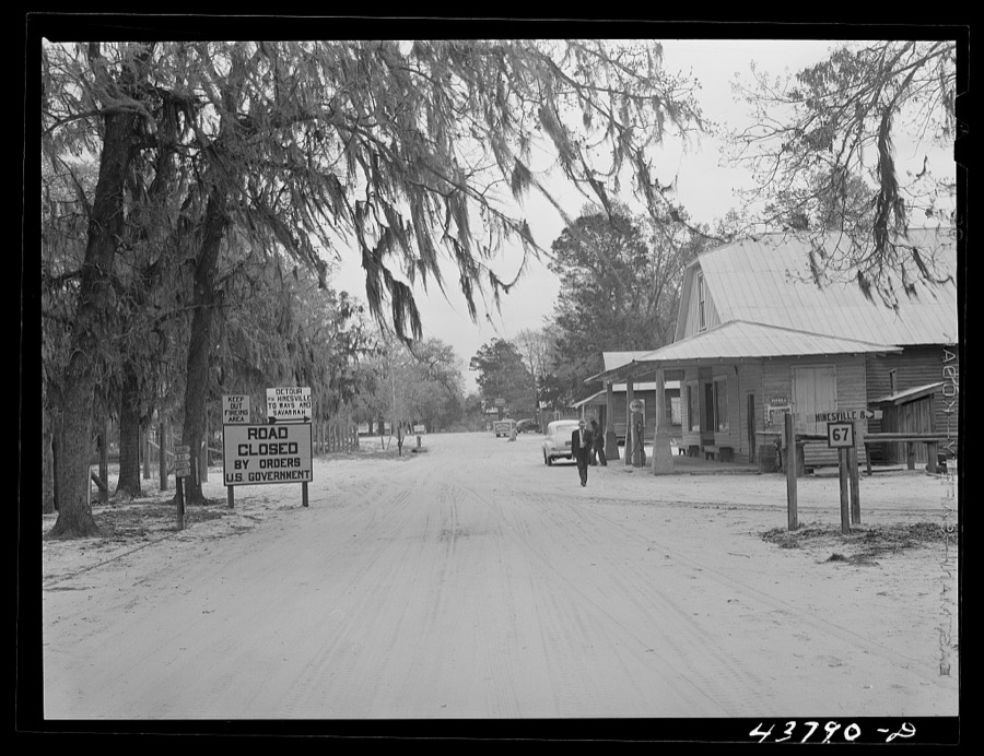

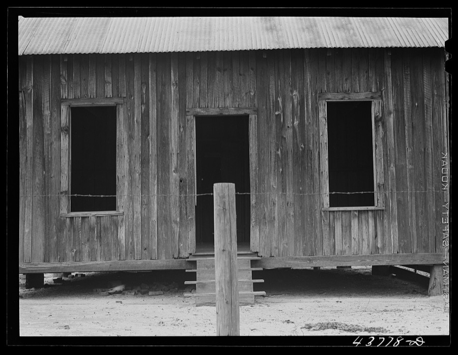
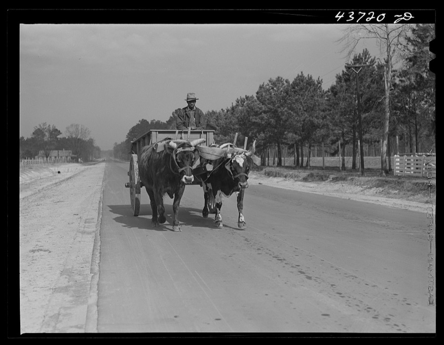
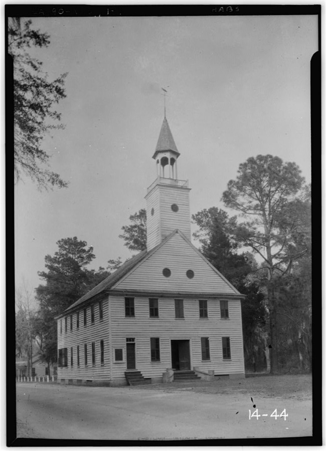
Every property in this county listed on the National Register of Historic Places, with the year it was listed and the federal nomination document.
| Photograph | Property | Type | Listed | Reference |
|---|---|---|---|---|
 | Bacon-Fraser House | building | 1985 | 85000848 |
 | Eddie Bowens Farm | building | 2004 | 04001209 |
| Cassel's Store | building | 1983 | 83000232 | |
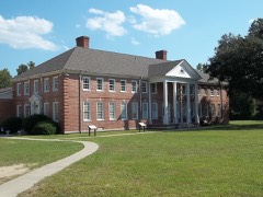 | Dorchester Academy Boys' Dormitory | building | 1986 | 86001371 |
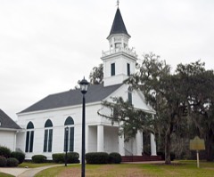 | Flemington Presbyterian Church | building | 1982 | 82002449 |
 | Liberty County Courthouse | building | 1980 | 80001105 |
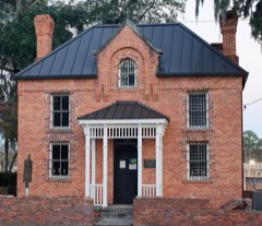 | Liberty County Jail | building | 1992 | 92001036 |
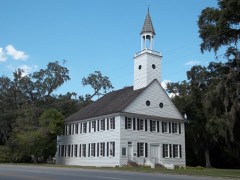 | Midway Historic District | district | 1973 | 73000625 |
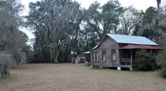 | Sam Ripley Farm | building | 2004 | 04001187 |
 | St. Catherine's Island | district | 1969 | 69000332 |
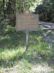 | Woodmanston Site | site | 1973 | 73000626 |
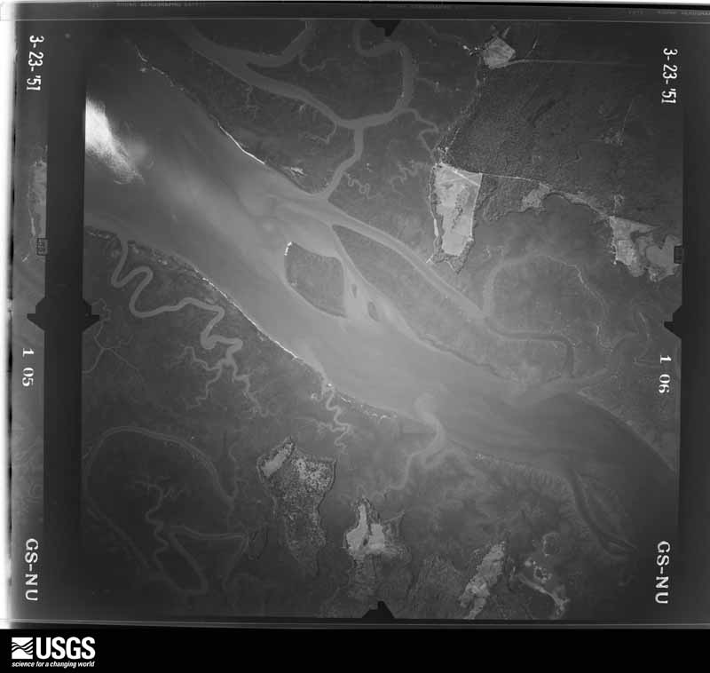
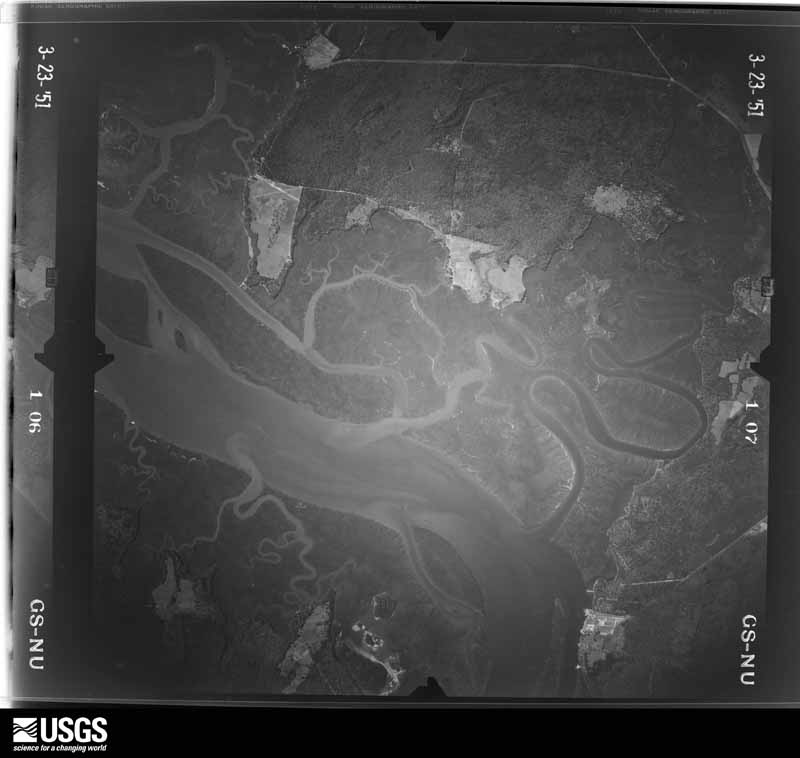
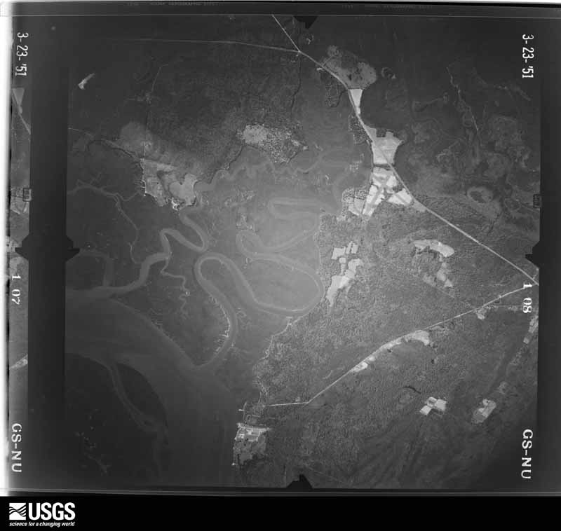
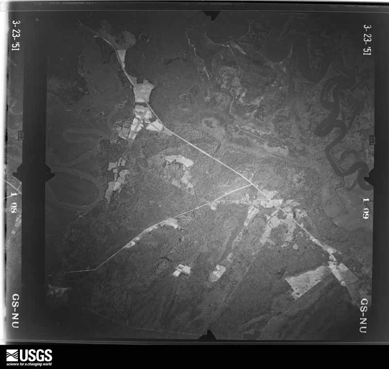
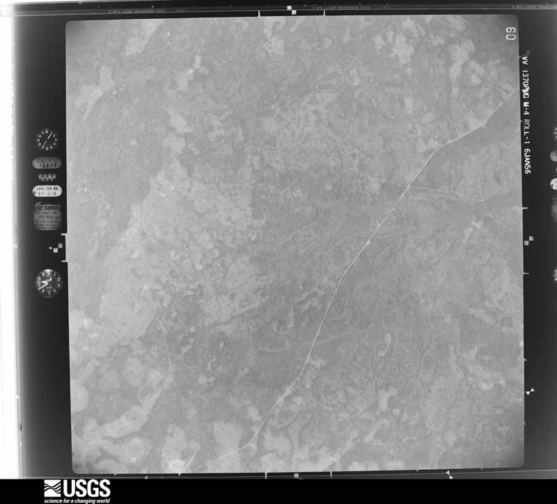
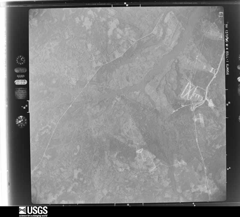
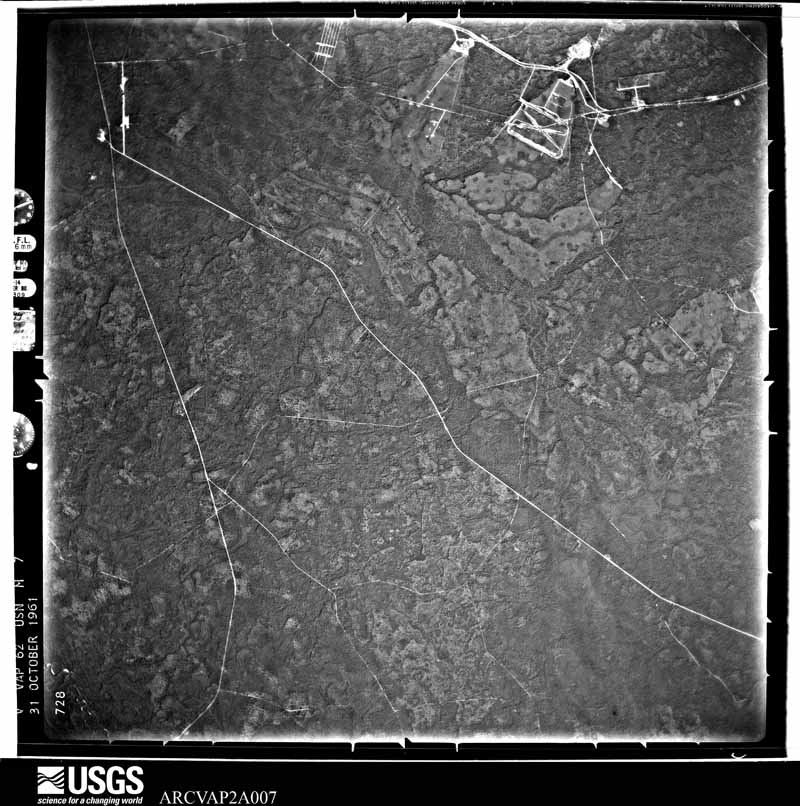
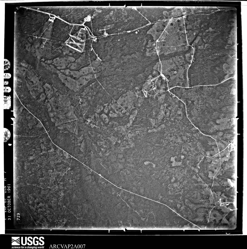
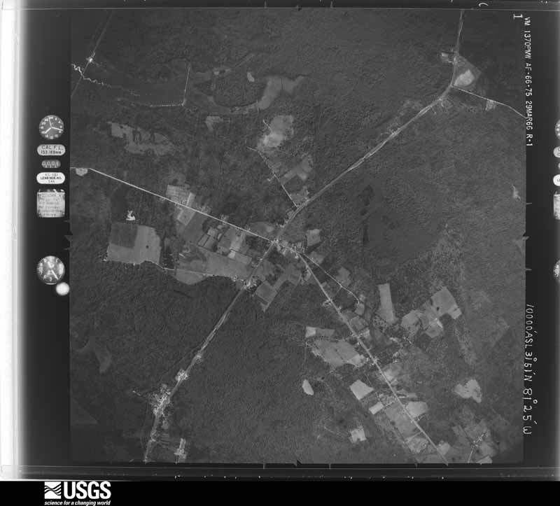
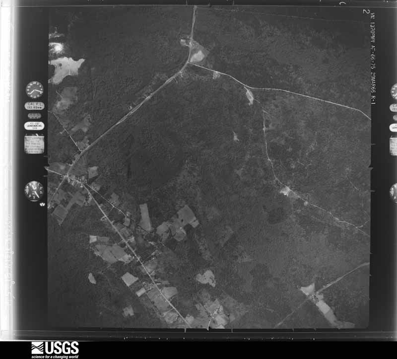
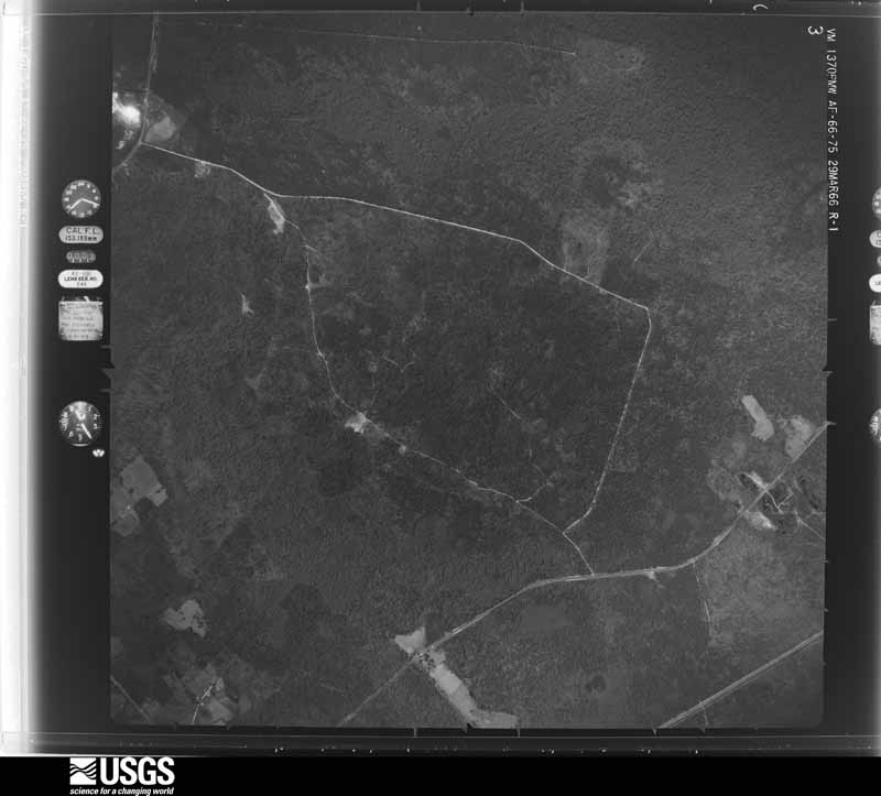
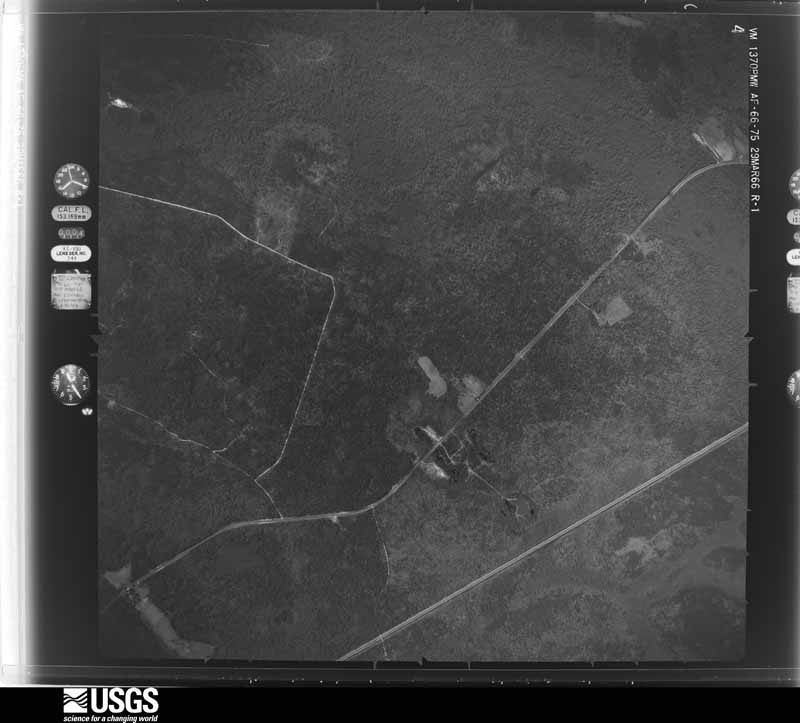
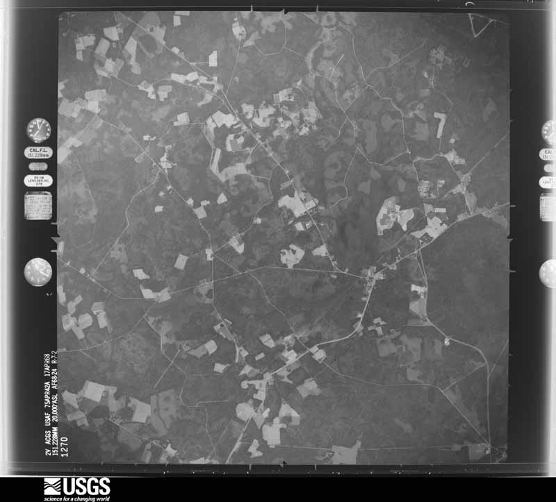
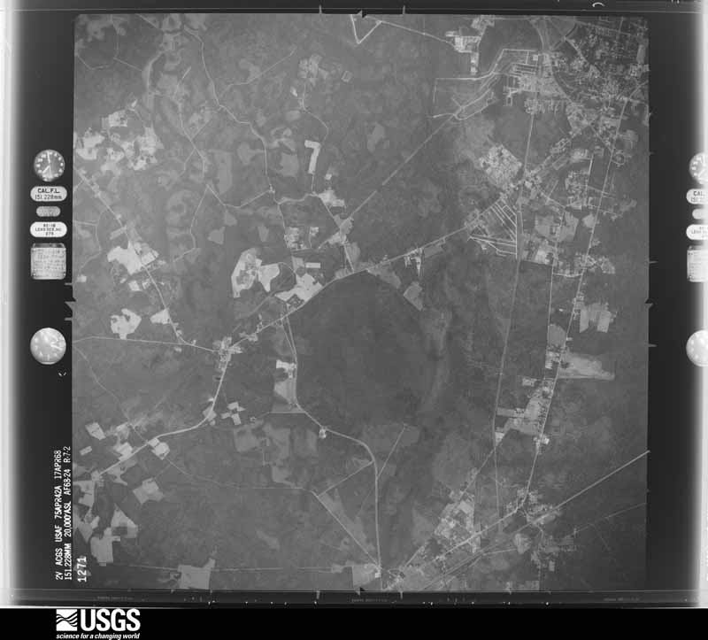
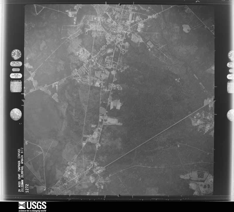
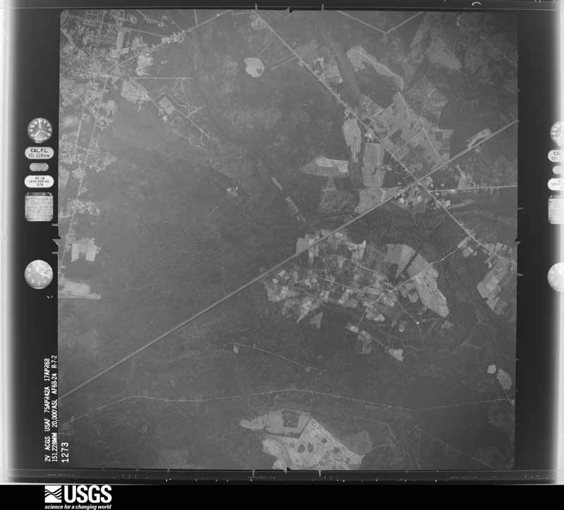
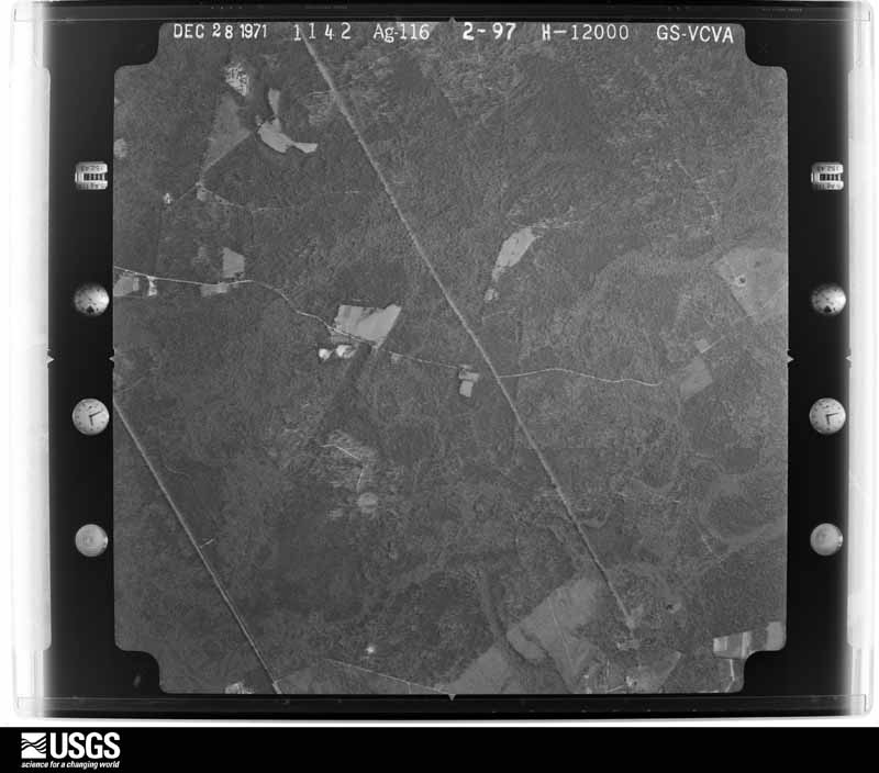
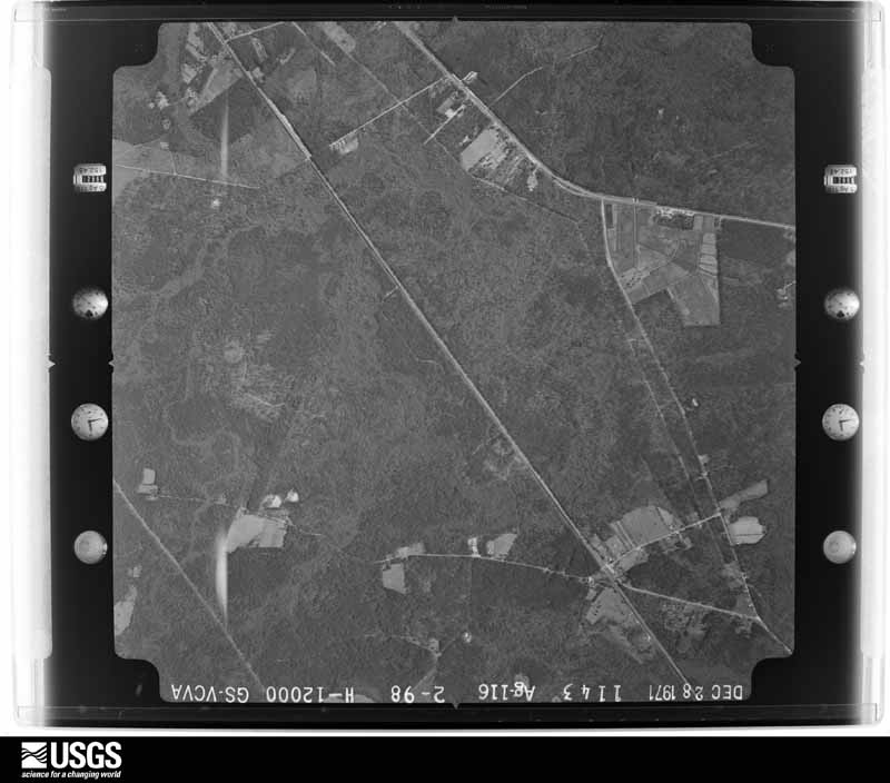
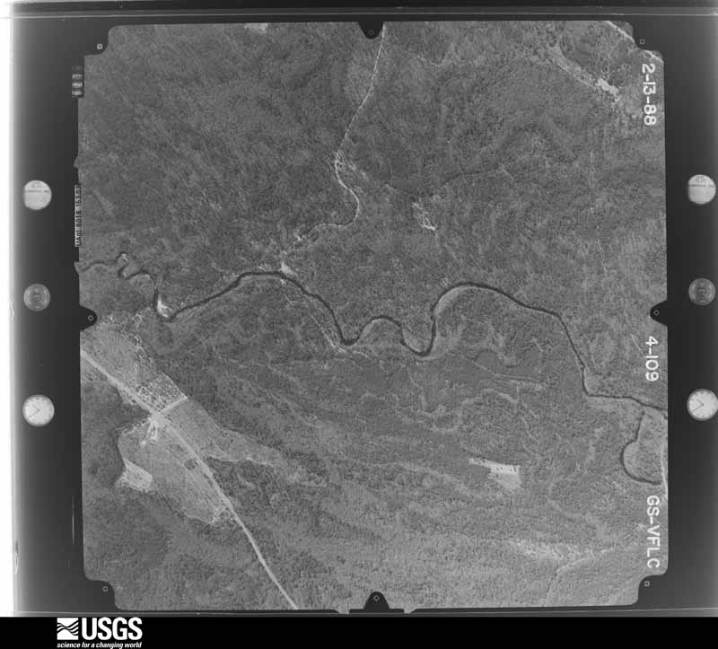
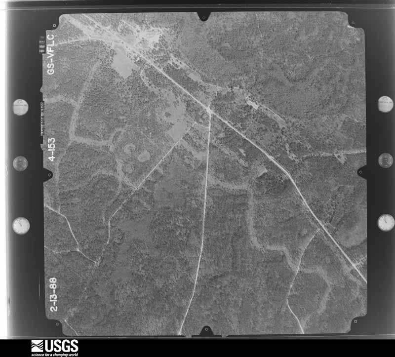
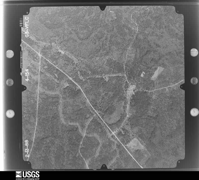
Flown by the U.S. Geological Survey between 1937 and 1989, the Aerial Photo Single Frames collection is the definitive mid-century view of the land: fields, roads and rivers as the camera saw them. The Survey holds 2,917 frames inside the rectangle that bounds this county; the 48 frames below were taken over the county itself, chosen across the decades of flights (at most four a year from that rectangle), so one flight cannot crowd out the rest. The full set is free to browse and download at EarthExplorer under the dataset Aerial Photo Single Frames.
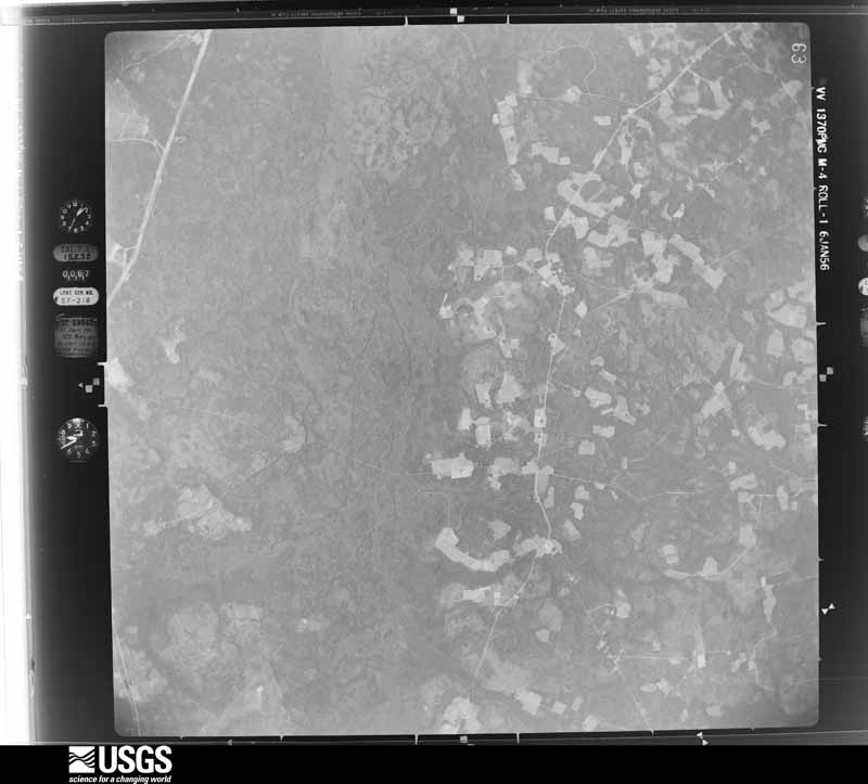
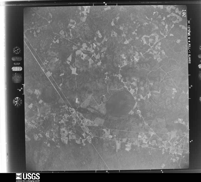
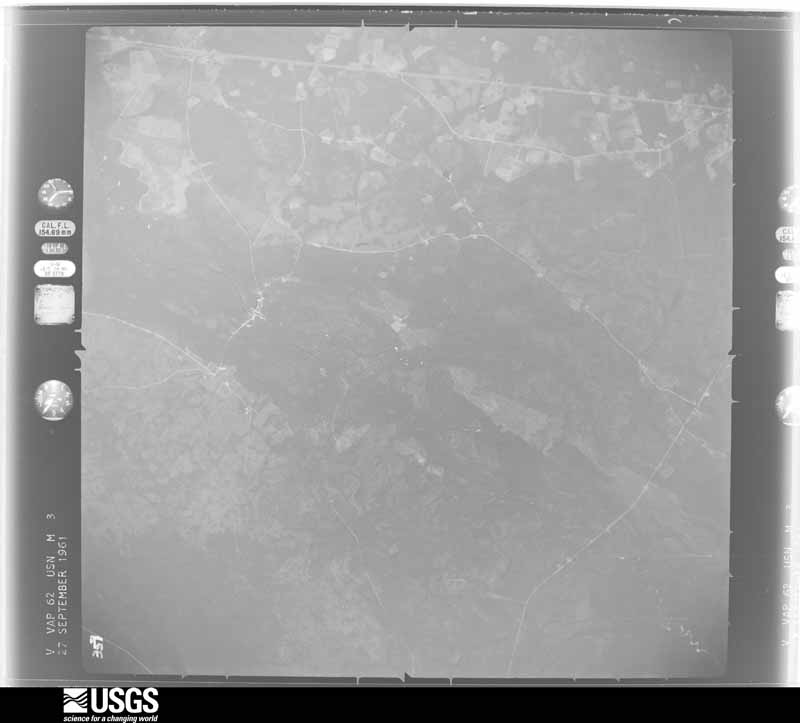
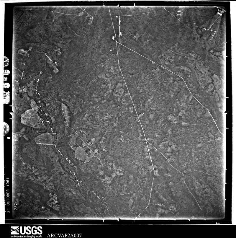
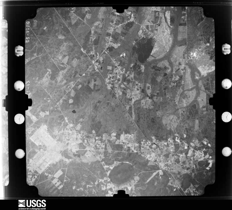
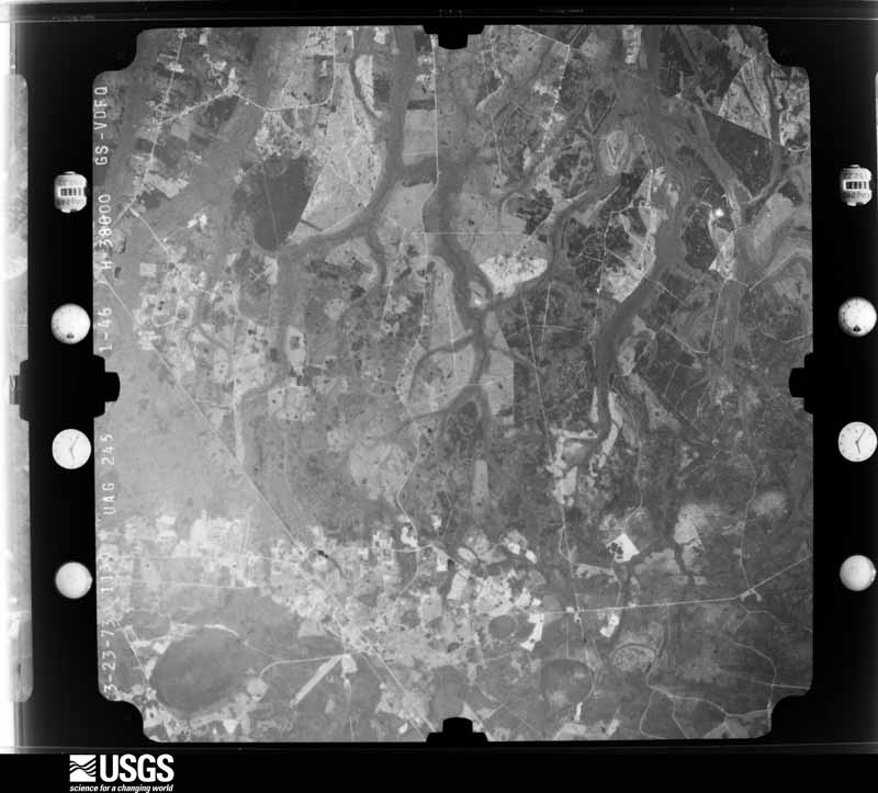

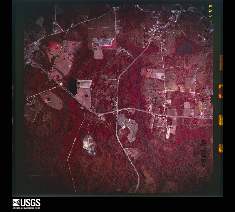
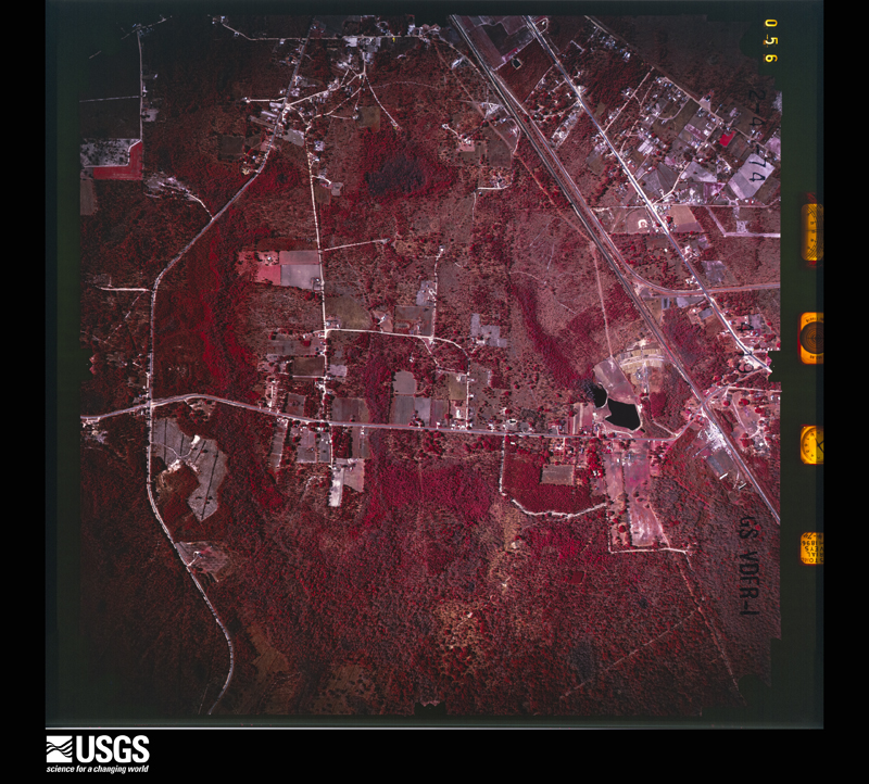
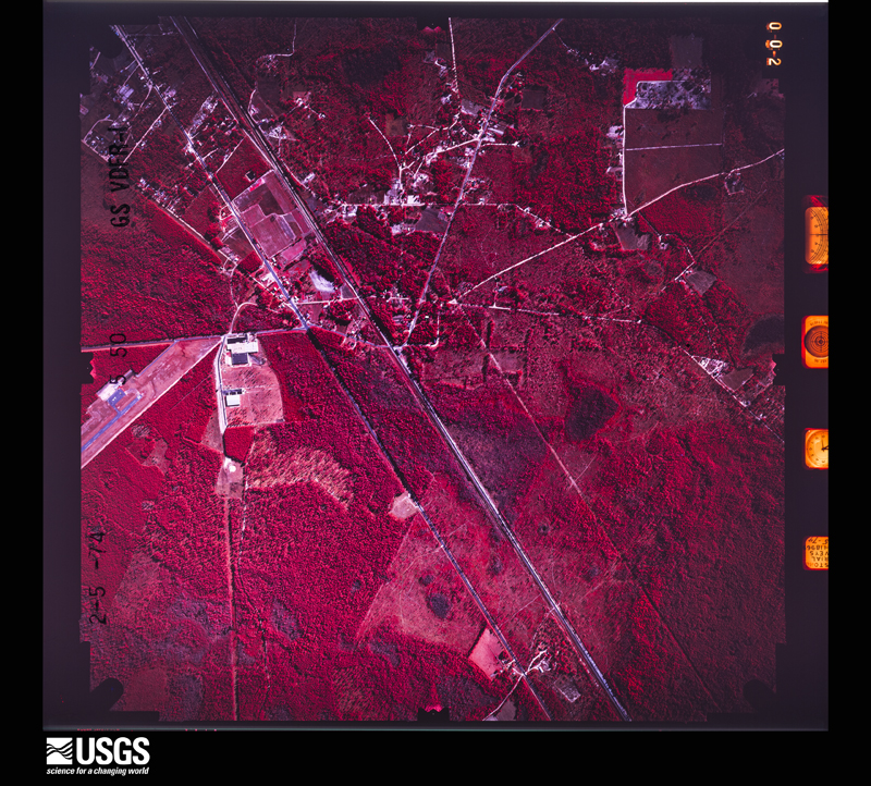
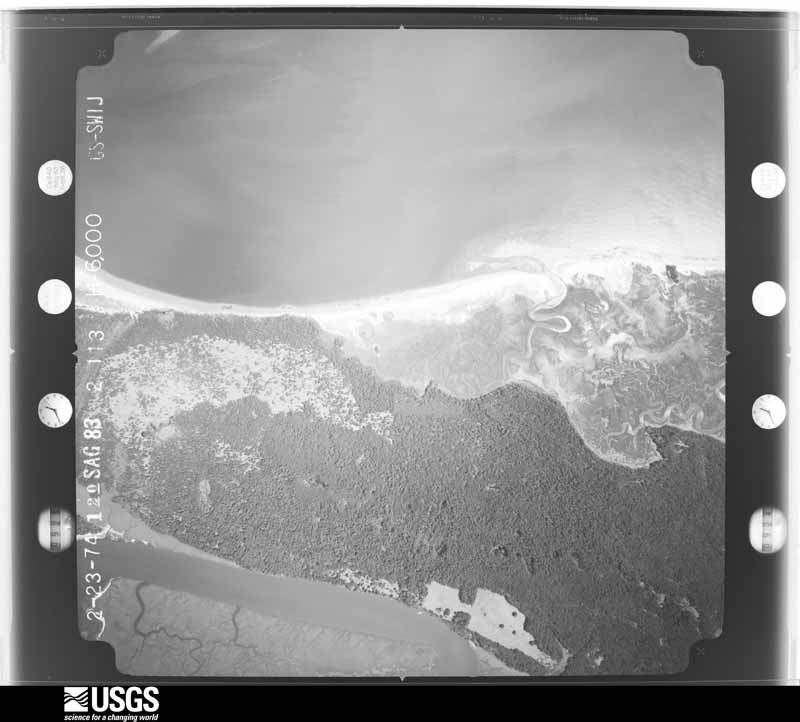


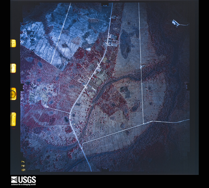
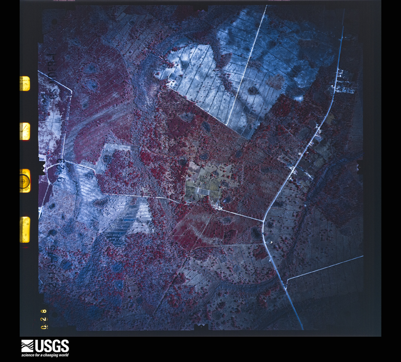




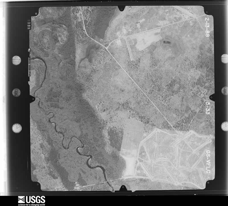
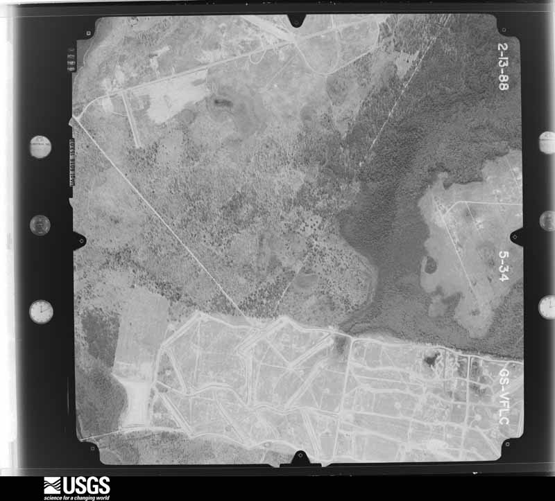
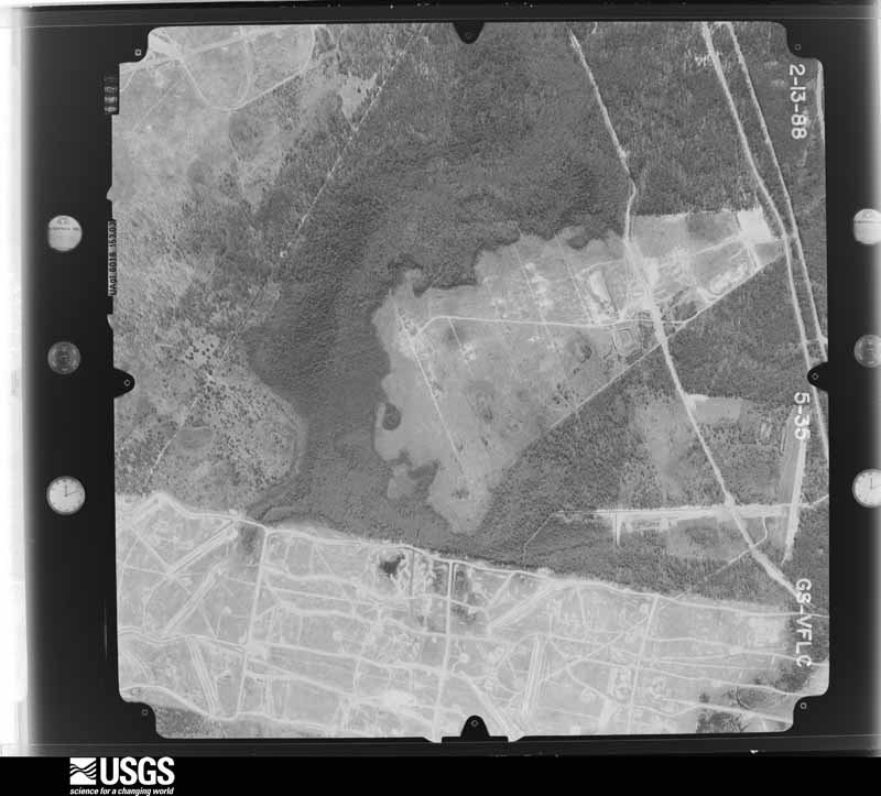
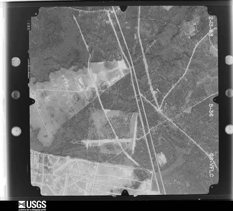
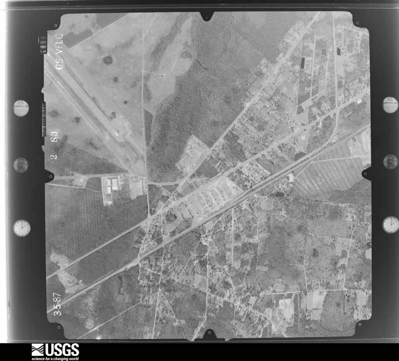
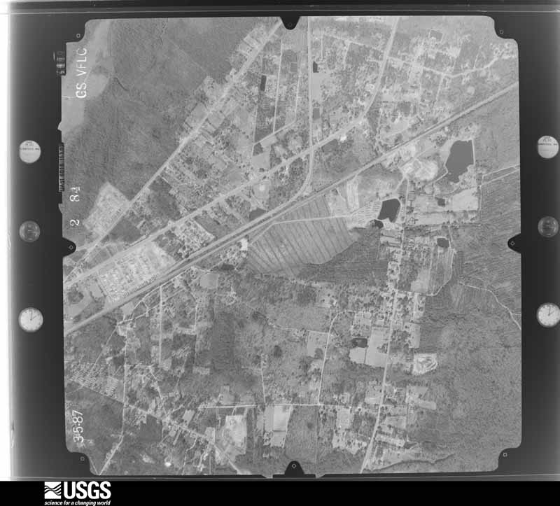
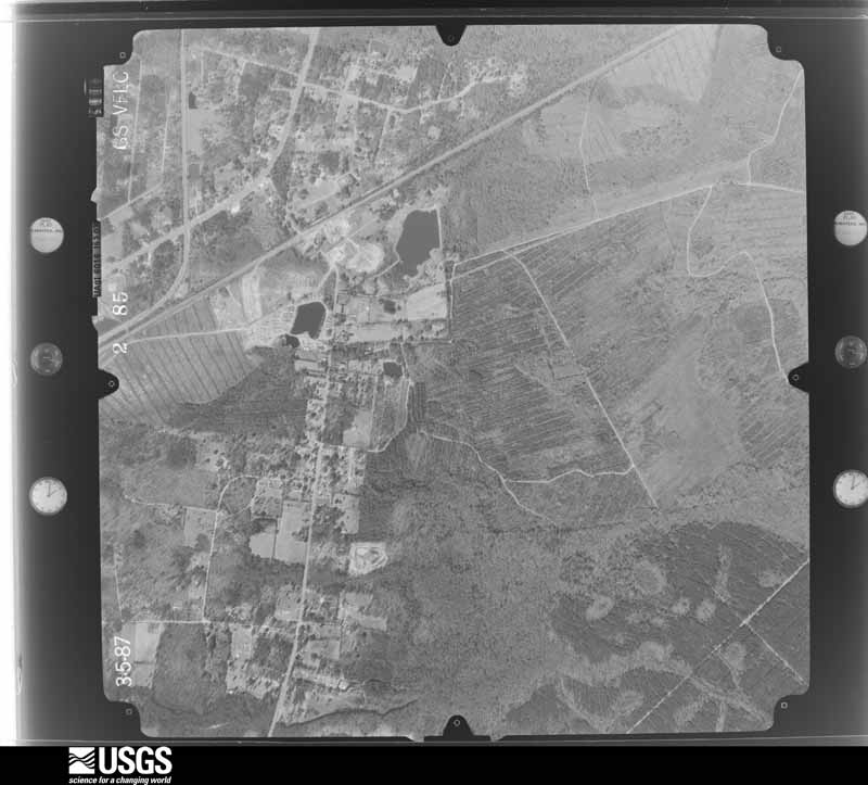
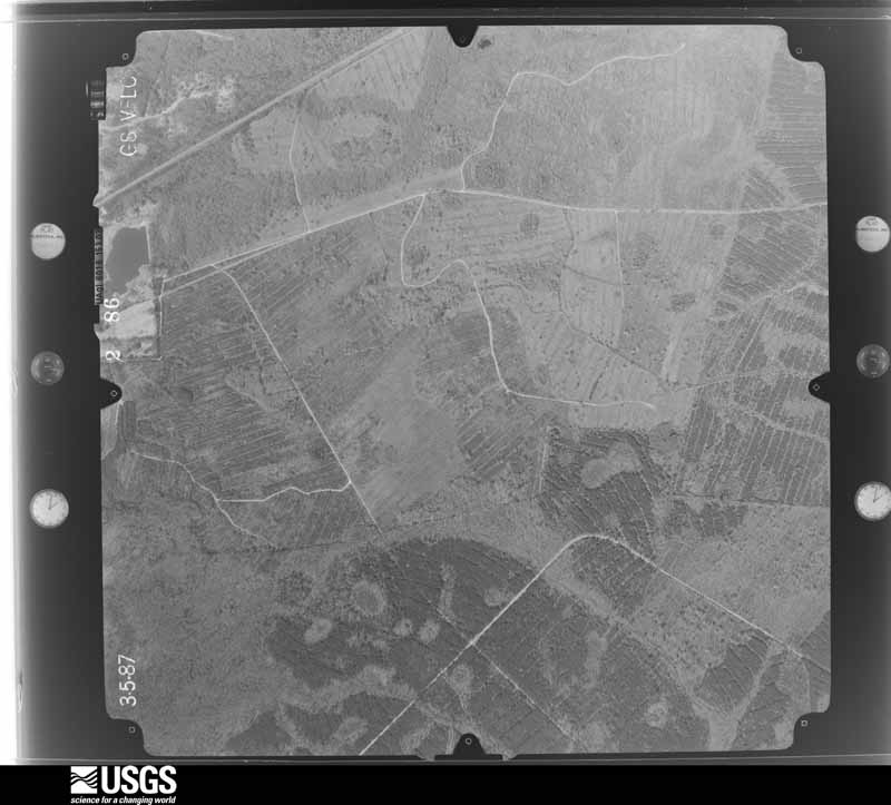
The thermometers that kept this county's weather, and the gages that measured the flow of its streams, as the federal records hold them. The extremes below are measured values from those records, not estimates.
Who lived here in 1950, one enumeration district at a time, as the Census Bureau described each district. Each row opens its official National Archives result, with Population Schedules and ED Maps available there.
Every wildfire the federal occurrence database records inside this county: 1,884 of them, burning about 6,213 acres. 50 started naturally and 604 were recorded as arson. Each settlement page carries the fires within five miles of it.
| Reported cause | Fires |
|---|---|
| Debris and open burning | 862 |
| Arson/incendiarism | 604 |
| Equipment and vehicle use | 115 |
| Misuse of fire by a minor | 106 |
| Missing data/not specified/undetermined | 98 |
| Natural | 50 |
| Recreation and ceremony | 31 |
| Smoking | 11 |
| Railroad operations and maintenance | 7 |
The five largest, by the area the report gives. One of them was set deliberately.
| Date | Cause | Size | Reported by | Name on the report |
|---|---|---|---|---|
| 28 June 2011 | Natural | 791 acres | Georgia Forestry Commission | FY2011-LIBERTY-070 |
| 4 April 2004 | Debris and open burning | 488 acres | Georgia Forestry Commission | STATESBORO COMPLEX |
| 24 March 2018 | Debris and open burning | 213 acres | Georgia Forestry Commission | FY2018LIBERTY028 |
| 27 February 2016 | Debris and open burning | 140 acres | Georgia Forestry Commission | FY2016-LONG-009 |
| 4 April 2004 | Debris and open burning | 110 acres | Georgia Forestry Commission | not named |
| 23 February 2011 | Debris and open burning | 95 acres | Georgia Forestry Commission | FY2011-LIBERTY-041 |
| 1 May 2011 | Arson/incendiarism | 95 acres | Georgia Forestry Commission | FY2011-LIBERTY-062 |
| 20 August 1999 | Natural | 90 acres | Georgia Forestry Commission | not named |
Every settlement page carries the fires within five miles of it - see the settlement index below.
The NOAA Storm Events Database holds 394 reports for this county, causing 2 deaths, 25 injuries and about $54,080,700 in recorded property damage. Each settlement page carries the reports that name it.
| Kind of event | Reports |
|---|---|
| Thunderstorm Wind | 265 |
| Hail | 87 |
| Tornado | 15 |
| Lightning | 13 |
| Flash Flood | 13 |
| Flood | 1 |
The most serious of them, by death, then injury, then recorded damage. The accounts are quoted exactly as the forecast office filed them.
| When | Event | Place named | Harm | What the report says |
|---|---|---|---|---|
| April 1998 | Tornado (F2) | Hinesville | 1 killed, 7 hurt, $38,000,000 | F2 tornado moved from Long County into Liberty County, which encompasses much of Fort Stewart Army Base. One soldier was killed while in an administrative building and seven others were injured. Seven buildings were destroyed while another fifty-five(55) suffered different degrees of damage. |
| July 2000 | Lightning | Dorchester | 1 killed, 5 hurt | no account filed |
| January 1971 | Tornado (F2) | not stated | 4 hurt, $25,000 | no account filed |
| September 2011 | Lightning | Mc Intosh | 4 hurt | A lightning strike resulted in 24 soldiers and one civilian being taken to Winn Army Community Hospital in Hinesville, Georgia. The lightning strike occurred during a training exercise in Fort Stewart, Georgia. No one was injured seriously, although four people were kept overnight for observation. All individuals were released the day after the lightning strike and all soldiers were returned to active duty. |
| May 2008 | Thunderstorm Wind | Midway | 2 hurt, $750,000 | The Emergency Manager of Liberty County reported thunderstorm winds causing damage to 35 homes, 18 of which sustained major damage in the Lake George subdivision just east of Limerick, Georgia. Several homes have been condemned due to the extensive nature of the damage. Numerous trees were blown down and uprooted. Two injuries occurred when trees fell into homes. Ten people were put up in a Red Cross shelter after their homes were left uninhabitable. Winds were estimated at greater than 80 mph. |
| April 1969 | Tornado (F2) | not stated | 1 hurt, $25,000 | no account filed |
| June 2013 | Lightning | Mc Intosh | 1 hurt | A medic was struck by lightning near the Winn Army Community Hospital. The individual was touching a doorknob when the strike sent an electric shock through the trailer he was in. |
| June 2010 | Lightning | Hinesville | 1 hurt | The 911 center reported a lightning strike very close to Fraser Circle where a 9 year old boy was outside. The boy was treated for lightning related injuries. |
| June 2012 | Hail | Camp Stewart | $8,750,000 | The Fort Stewart Warning Point reported golf ball to baseball size hail. One vehicle had major damage. |
| February 2016 | Tornado (EF0) | Camp Stewart | $5,080,000 | The National Weather Service in Charleston, South Carolina confirmed an EF-1 tornado at Fort Stewart in Liberty County Georgia with winds approximately 105 to 110 mph. The tornado began near gate 7 of the Fort Stewart base complex, likely as an EF-0, before moving northeast at approximately 35 mph through the center of the base and ending near Highway 144.||Much of the damage throughout the base was EF-0 to high end EF-1 strength. The most significant damage started at Taylors Creek Golf Course, then stretched east-northeast through a small neighborhood to Diamond Elementary School. Several large pine trees were uprooted and/or snapped throughout the golf course and neighborhood area. Approximately 6 to 10 homes were heavily damaged in this neighborhood due to large pine trees falling on them. One home had nearly 75 percent of the roof removed, but the roof was not strapped down to the walls which kept the tornado strength to a high end EF-1 rating. Three cars were also rolled over or moved approximately 20 feet in the parking lot of Diamond Elementary School. The school had roof damage on one corner of the gymnasium. As the tornado continued to move northeast, it snapped many trees and downed power lines along Hero Road near Eisenhower Village. After this point, the tornado continued northeast into a heavily wooded area with sporadic snapped trees and downed limbs until lifting near Highway 144. The tornado lasted approximately 10 to 12 minutes before dissipating at Highway 144.||Total damage reported along the path of the tornado included approximately 42 homes, 150 to 200 vehicles and 8 unit facilities within or near the Fort Stewart area. Total damage cost was estimated to be 5.08 million dollars. |
| June 2019 | Lightning | Gum Branch | $750,000 | The Liberty County Emergency Manager confirmed a lightning strike causing a fire at Trinity Missionary Baptist Church on Live Oak Drive. Videos from media indicated a total loss of the structure. |
| June 2009 | Thunderstorm Wind | Dorchester | $60,000 | Liberty County Emergency Management officials reported that numerous large trees were blown down in a swath approximately 500 yards long and 50 yards wide along Route 84 near Hinesville, Georgia. One tree destroyed a storage shed and numerous power lines were downed as well. |
| July 2006 | Thunderstorm Wind | Hinesville | $50,000 | Several trees down in Hinesville with one tree falling on a house. |
| June 1994 | Thunderstorm Wind | Riceboro to Retreat | $50,000 | Numerous trees and power lines were downed by thunderstorm winds along U.S. Highway 17 near Interstate 95. Three to four homes received roof damage from trees blown down by thunderstorm winds. Damage to property was estimated at 35,000 dollars. |
| June 1994 | Thunderstorm Wind | Walthourvilleto Hines | $50,000 | Numerous trees and power lines were downed by straight line thunderstorm winds along U.S. Highway 84. Widespread power outages occurred in Hinesville for approximately four hours. Several homes received minor to moderate damage from uprooted trees or wind blown debris. |
| June 2009 | Lightning | Hinesville | $30,000 | Law Enforcement reported several homes were struck by lightning and started on fire. |
| December 2012 | Thunderstorm Wind | Camp Stewart | $28,000 | The Liberty County Emergency Manager reported a roof blown off a structure and trees twisted and uprooted at Fort Stewart. Law enforcement reported power lines down on North Main Street and Harrison Drive and a large sign blown down onto a car along East Oglethorpe Highway. Tree debris were also reported on streets in Hinesville. |
| December 2007 | Thunderstorm Wind | Midway | $25,000 | Eight homes were reported to have sustained damage by debris and tree branches. One home had brick siding separate from the home. Several trees were reported to have snapped off at the base. |
| April 1980 | Tornado (F1) | not stated | $25,000 | no account filed |
| May 1951 | Tornado (F1) | not stated | $25,000 | no account filed |
| July 2008 | Flash Flood | Hinesville | $20,000 | The public library on Memorial Drive in Hinesville, Georgia was flooded. |
| July 2006 | Thunderstorm Wind | Hinesville | $20,000 | Trees and powerlines down throughout city. |
| September 2011 | Thunderstorm Wind | Midway | $15,000 | The Liberty county Emergency Manager reported numerous trees down in and around the Riceboro and Midway communities. Several trees were reported down across roadways. |
| July 2010 | Thunderstorm Wind | Seabrook | $15,000 | Law enforcement reported multiple trees down on homes along Camellia Road in Halfmoon Landing, Georgia. |
| July 2008 | Flash Flood | Mc Intosh | $15,000 | A trained weather spotter reported several cars flooded at Fort Stewart. Several parking lots were also flooded. |
| June 2008 | Lightning | Hinesville | $15,000 | The Hinesville Fire Department reported a lightning strike caused a house fire on Clay Street in Hinesville, Georgia. |
| May 1997 | Thunderstorm Wind | Hinesville | $15,000 | Tree fell on two cars. |
| May 2001 | Thunderstorm Wind | Riceboro | $15,000 | no account filed |
| June 2023 | Thunderstorm Wind | Walthourville | $14,000 | A 911 call center reported numerous downed power lines in and around the town of Walthourville. |
| September 2011 | Thunderstorm Wind | Hinesville | $12,000 | The Liberty county Emergency Manager reported several trees down in and around Hinesville, Georgia. One tree was reported down on a home and another down on a vehicle. |
| July 2010 | Thunderstorm Wind | Seabrook | $10,000 | Law enforcement reported a wind gust between 65 and 70 mph measured by a boat anemometer, two damaged docks, and that two pleasure craft had sank near Halfmoon Landing, Georgia. |
| May 2008 | Thunderstorm Wind | Fleming | $10,000 | Trees were reported down on power lines in Fleming, Georgia. Trees were also knocked down onto homes in the towns of Fleming, Midway, and Lake George, Georgia. |
| July 2006 | Thunderstorm Wind | Hinesville | $10,000 | Tree fell on house on Pineview Court. |
| October 1997 | Thunderstorm Wind | Walthourville | $6,000 | Large limbs and powerlines down. |
| March 2019 | Lightning | Gum Branch | $5,000 | Liberty County 911 dispatch reported that lightning started a house fire in Allenhurst. The amount of damage and status of the structure is unknown. |
| June 2012 | Thunderstorm Wind | Camp Stewart | $5,000 | A trained spotter reported several large trees down in Fort Stewart. |
| June 2012 | Thunderstorm Wind | Hinesville | $5,000 | A spotter reported large limbs down on Stewart Drive. |
| August 2012 | Thunderstorm Wind | Fleming | $5,000 | Liberty County dispatch reported several trees and power lines down. One of the trees was down on a house. |
| June 2010 | Thunderstorm Wind | Camp Stewart | $5,000 | The public reported several pine trees down and dime size hail. The individual also recorded a 52 MPH wind gust. |
| June 2009 | Thunderstorm Wind | Midway | $5,000 | The public reported a tree down on a house 5 miles northeast of Riceboro, Georgia. |
| May 2008 | Thunderstorm Wind | Fleming | $5,000 | Trees and power lines were knocked down near the intersection of Highway 196 and Highway 17. |
| June 1995 | Thunderstorm Wind | Midway | $5,000 | Thunderstorm winds knocked down large tree limbs and power lines. |
| June 1994 | Thunderstorm Wind | Hinesville | $5,000 | Several trees and power lines were downed along U.S. Highway 84 due to thunderstorm winds. |
| July 2012 | Thunderstorm Wind | Midway | $4,000 | A County Official reported several trees down near Midway. |
| July 1995 | Thunderstorm Wind | Flemington | $4,000 | Thunderstorm winds knocked down trees and power lines. |
| April 2011 | Thunderstorm Wind | (Lhw)Ft Stewart Hine | $3,500 | Fire department officials reported approximately 20 trees down near the intersection of Old Savannah Road and Old Sunbury Road. Eight trees were blocking Old Sunbury Road. One tree fell onto a house. |
| June 2010 | Thunderstorm Wind | Riceboro | $3,500 | Law enforcement reported multiple trees down on power lines on Oak Creek Road and Big Oak Road. |
| August 2011 | Thunderstorm Wind | Midway | $3,250 | Law enforcement reported trees and power lines down on Lake Gale Drive and near the intersection of Highway 18 and Highway 84. |
| July 2012 | Thunderstorm Wind | Hinesville | $3,000 | A County Official reported a few trees down near Hinesville. |
| March 2009 | Thunderstorm Wind | Hinesville | $3,000 | Law Enforcement reported an awning torn down at Liberty Tire and Brake off of Highway 84. Power lines were also reported down on Gausett Pafford Road in Hinesville, Georgia. |
| June 2009 | Thunderstorm Wind | Riceboro | $3,000 | Law Enforcement reported trees down on the E.B. Cooper Highway near Riceboro, Georgia. |
| June 2009 | Thunderstorm Wind | Seabrook | $3,000 | Law enforcement reported a tree down on a power line on Old Seabrook School Road. |
| May 2008 | Thunderstorm Wind | Midway | $3,000 | Tree limbs and power lines were reported down in Midway, Georgia. |
| June 2023 | Thunderstorm Wind | Walthourville | $2,500 | A 911 call center relayed a report of a large tree branch down on a car on Talmadge Road near Busbee Road. |
| April 2019 | Thunderstorm Wind | Gum Branch | $2,500 | The Liberty County 911 Call Center reported multiple power lines down, including one on fire. |
| March 2009 | Thunderstorm Wind | (Lhw)Ft Stewart Hine | $2,500 | The Liberty county Emergency Manager reported 5 trees down near Hinesville, Georgia. |
| June 2013 | Thunderstorm Wind | Gum Branch | $2,250 | The Liberty County 911 call center reported a tree down on a power line near the intersection of West Highway 196 and Joyner Road. The damage was likely caused by outflow. |
| April 2014 | Lightning | Allenhurst | $2,000 | Hinesville Police Department reported a utility pole struck by lightning at the intersection of Horne Drive and Oglethorpe Highway. |
| August 2013 | Lightning | Mc Intosh | $2,000 | Lightning struck a housing complex near Fort Stewart causing some smoke damage but no injuries. |
| August 2012 | Thunderstorm Wind | Hinesville | $2,000 | A tree fell on a house along Windward Drive. |
The part of each published history that is about one town: 1 chapter, each reproduced complete.
| Town | Chapter | From | Length |
|---|---|---|---|
| Flemington | History | History of the Midway Congregational Church, Liberty County, Georgia / (1903) | 507 words |
One book written about this county, cut here where the book itself is cut, at its printed chapters: 13 chapters in all. Every chapter is public domain, machine-read from the scan and reproduced complete. A chapter already given under one of the county's towns is not repeated in this list.
| Chapter | Length |
|---|---|
| Organization | 3,156 words |
| Progress of the Church Till the Dispersion | 7,912 words |
| From the Dismemberment Till the Dissolution | 6,824 words |
| Chapter 8: Her Great Men, Civil and Military | 7,464 words |
| Chapter 9: Ministers of the Gospel | 12,161 words |
| Chapter 10: Summing Up | 15,003 words |
| Special Events - Revivals | 2,618 words |
| Chapter with an unread heading (no. 8 of those read) | 1,608 words |
| The Grave Yard | 2,183 words |
| Chapter 16: Houses of Worship | 1,822 words |
| Chapter 17: Sunbury | 3,182 words |
| Chapter 18: __-« Leconte Pear Tree and Tea Cul' | 993 words |
| Chapter 19: ® the After History | 5,631 words |
Named settlements recorded in the Geographic Names Information System, each with the topographic sheets covering it. Villages, hamlets and abandoned places alike. Each is shown with the nearest named watercourse or landform and the survey quadrangle it falls on.
Hinesville census division · 31313 · On Creek Island · Walthourville quadrangle
17 sheets, 1918 to 1981
Hinesville census division · 31314 · On Taylors Creek · Taylors Creek quadrangle
18 sheets, 1918 to 1981
Midway census division · 31320 · Near Cattle Hammock · Seabrook quadrangle
15 sheets, 1920 to 1981
Hinesville census division · On Taylors Creek · Willie quadrangle
19 sheets, 1920 to 1981
No longer a settlement
Midway census division · 31320 · Seabrook quadrangle
15 sheets, 1920 to 1981
No longer a settlement
Midway census division · 31320 · Near Cattle Hammock · Seabrook quadrangle
15 sheets, 1920 to 1981
Hinesville census division · 31313 · Hinesville quadrangle
18 sheets, 1918 to 1981
Hinesville census division · Glennville NE quadrangle
16 sheets, 1920 to 1981
No longer a settlement
Midway census division · 31320 · On Mount Hope Creek · Dorchester quadrangle
16 sheets, 1920 to 1981
Hinesville census division · 31313 · Hinesville quadrangle
18 sheets, 1918 to 1981
No longer a settlement
Hinesville census division · Glennville NE quadrangle
16 sheets, 1920 to 1981
No longer a settlement
Hinesville census division · Willie quadrangle
19 sheets, 1920 to 1981
No longer a settlement
Midway census division · 31320 · On Dickinson Creek · Limerick SE quadrangle
17 sheets, 1920 to 1981
Hinesville census division · On Taylors Creek · Taylors Creek quadrangle
18 sheets, 1918 to 1981
No longer a settlement
The vanished settlements of Liberty County: the places named above that are no longer on the map.
The complete index, with nothing left out. Each of these is a separate record with its own page: a federal survey report, or the case file that argued a property on to the National Register. Both are public domain and reproduced word for word.
The vanished settlements of Liberty County, the places these records name that are no longer on the map.