 Block
From the record
3 National Register listings published here.
Sources: the National Register database, National Park Service
36 topographic sheets cover 13 settlements here, and 3 properties are on the National Register of Historic Places.
3 National Register listings published here.
Sources: the National Register database, National Park Service
Every property in this county listed on the National Register of Historic Places, with the year it was listed and the federal nomination document.
| Photograph | Property | Type | Listed | Reference |
|---|---|---|---|---|
 | Long County Courthouse | building | 1980 | 80001107 |
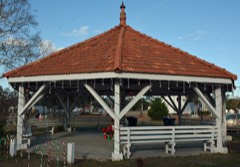 | Ludowici Well Pavilion | structure | 1984 | 84001153 |
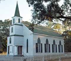 | Walthourville Presbyterian Church | building | 1987 | 87001357 |
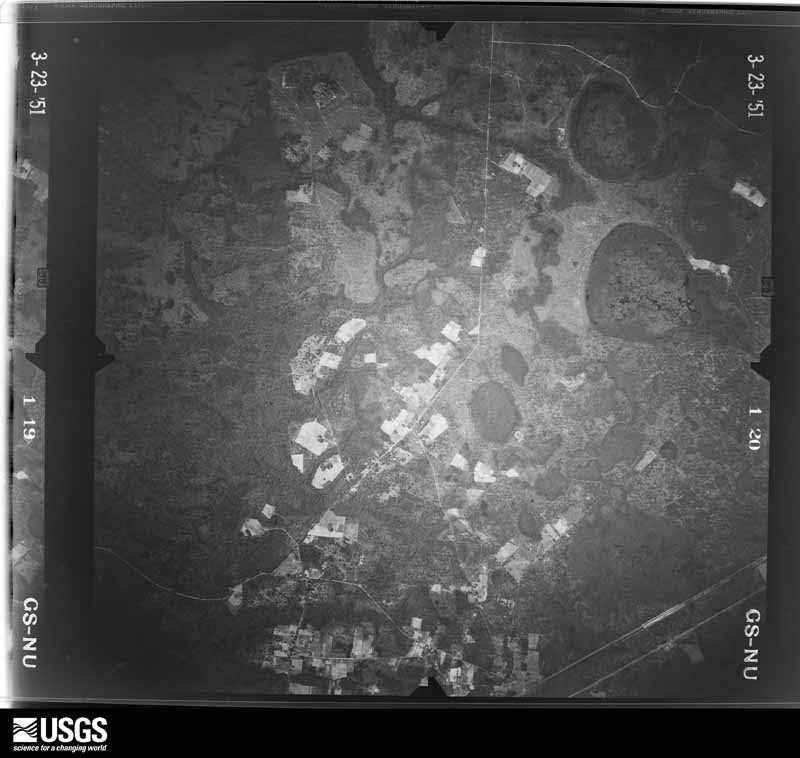
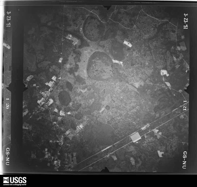
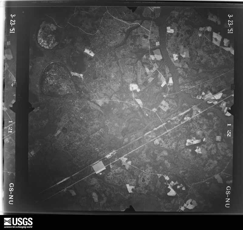
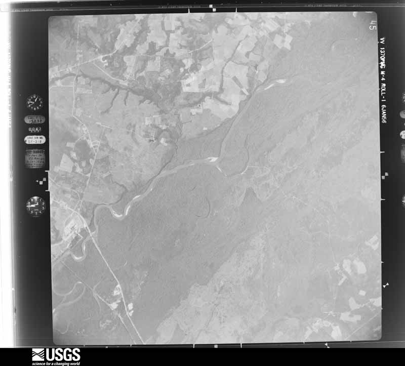
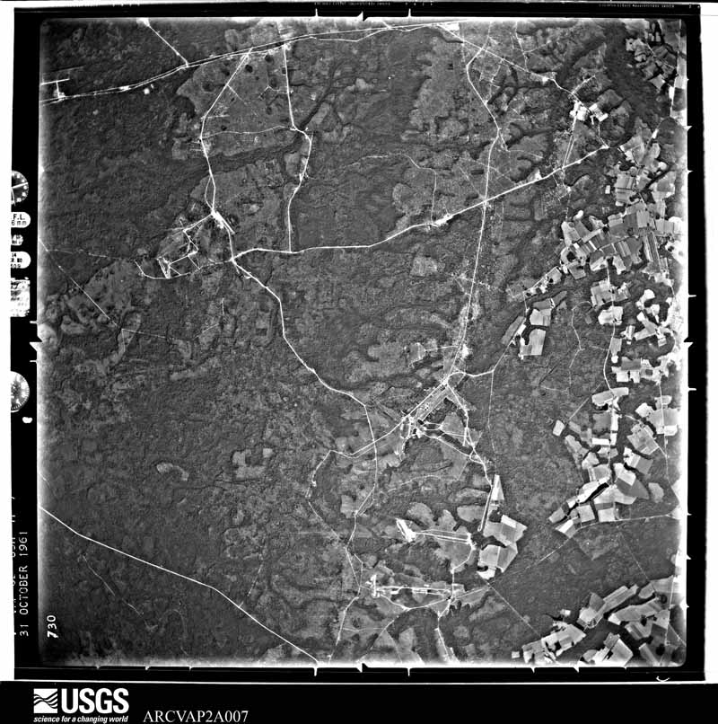
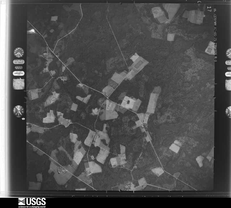
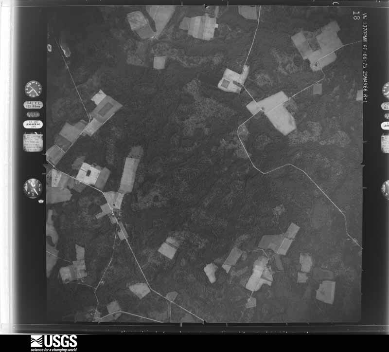
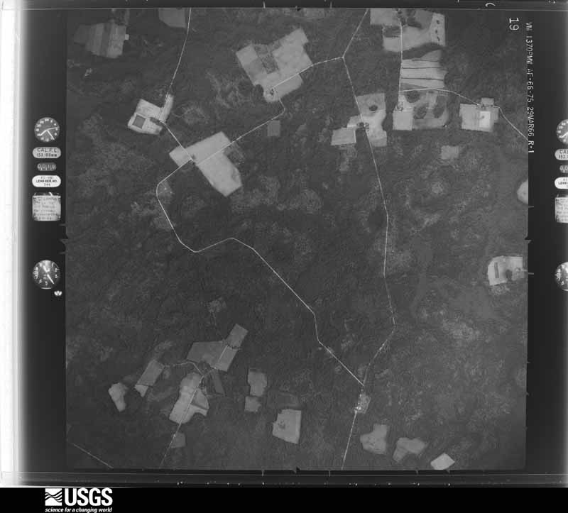
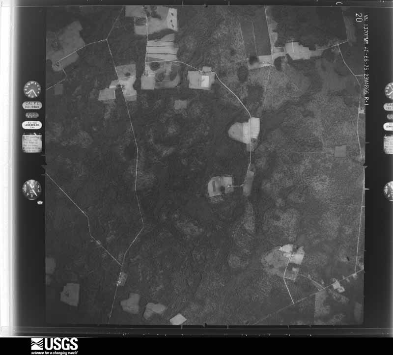
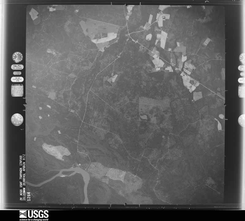
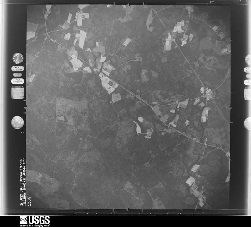
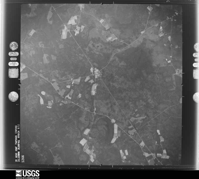
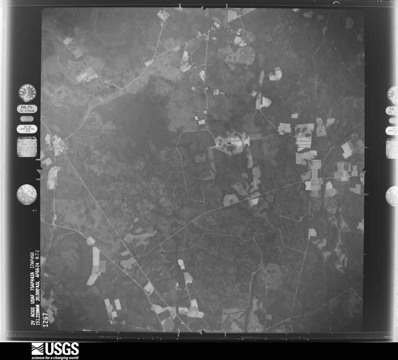
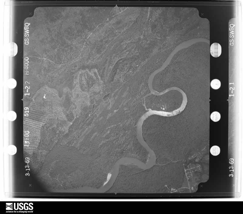
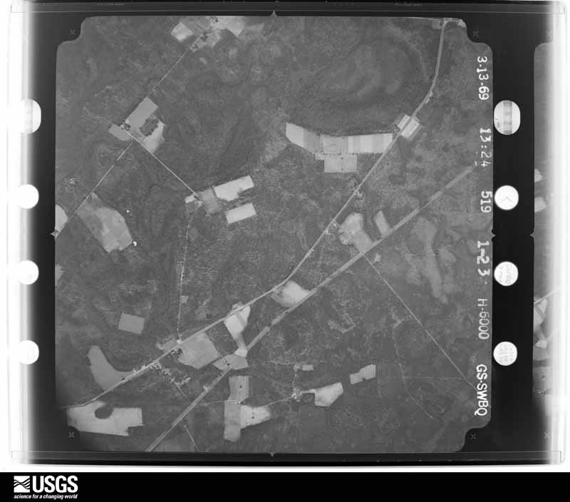
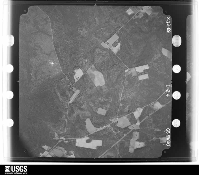
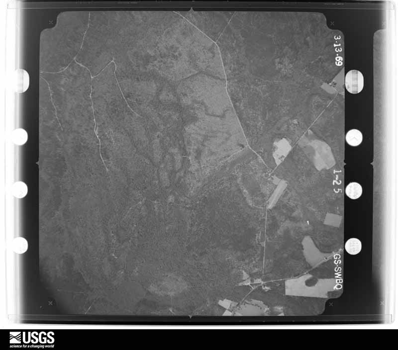
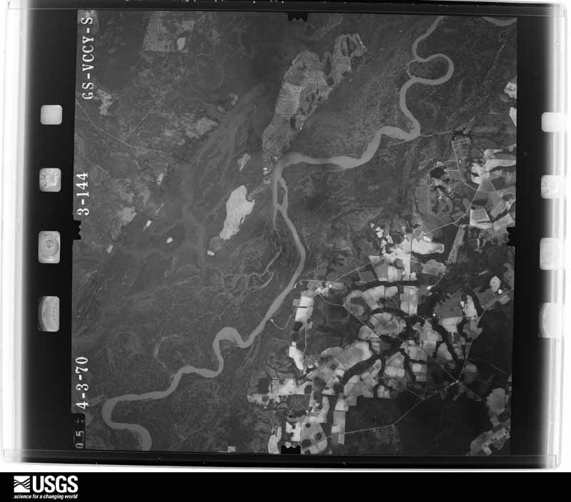
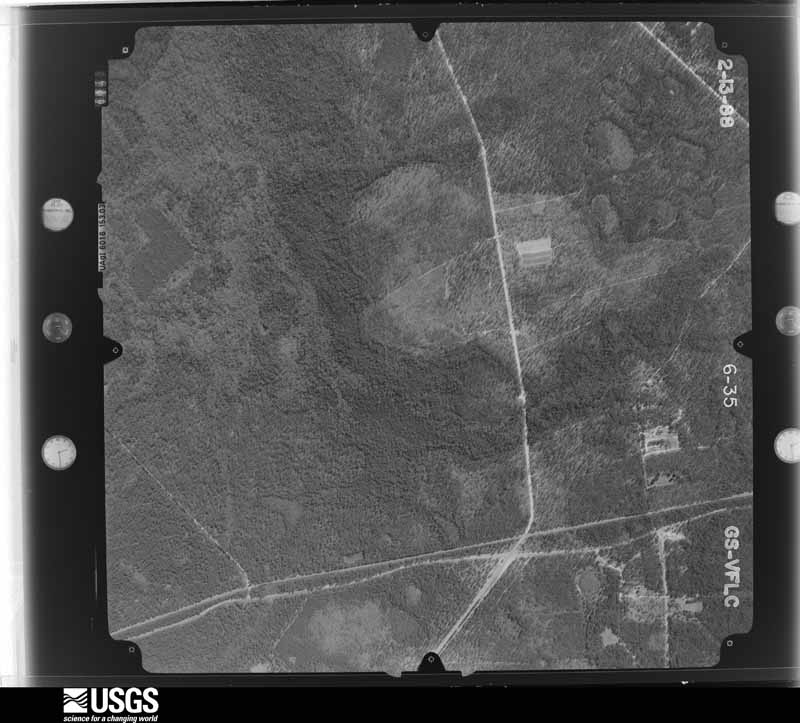
Flown by the U.S. Geological Survey between 1937 and 1989, the Aerial Photo Single Frames collection is the definitive mid-century view of the land: fields, roads and rivers as the camera saw them. The Survey holds 1,640 frames inside the rectangle that bounds this county; the 46 frames below were taken over the county itself, chosen across the decades of flights (at most four a year from that rectangle), so one flight cannot crowd out the rest. The full set is free to browse and download at EarthExplorer under the dataset Aerial Photo Single Frames.




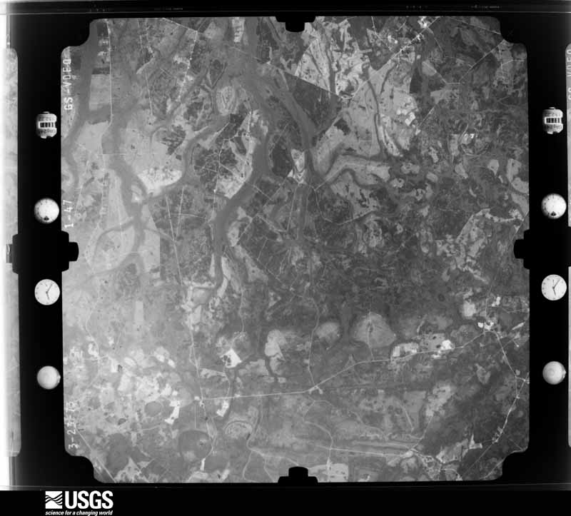
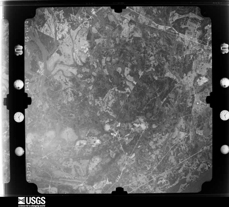
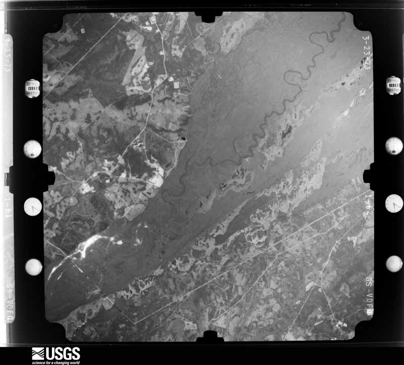
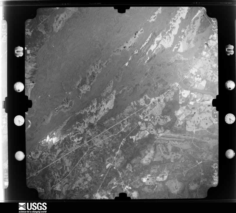
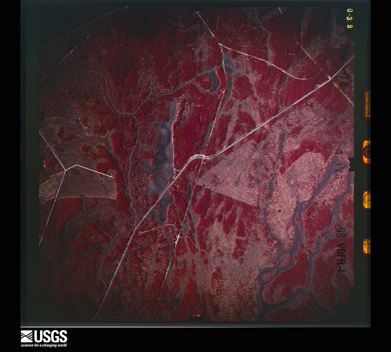







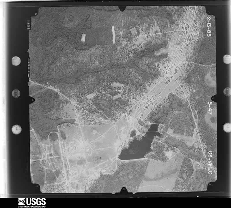
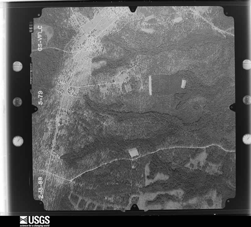
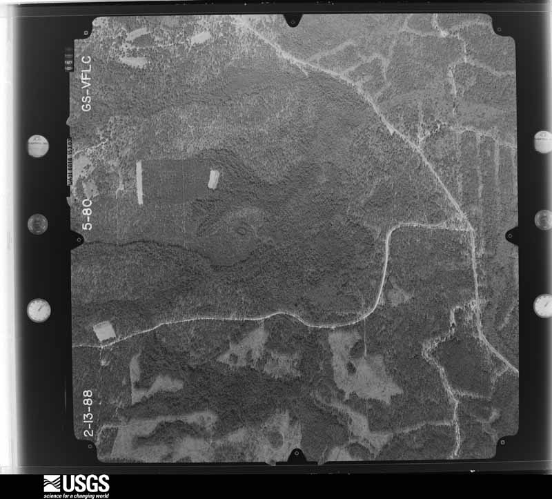
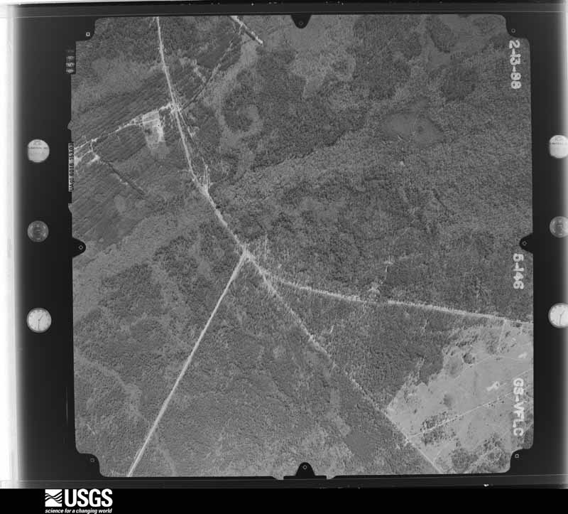
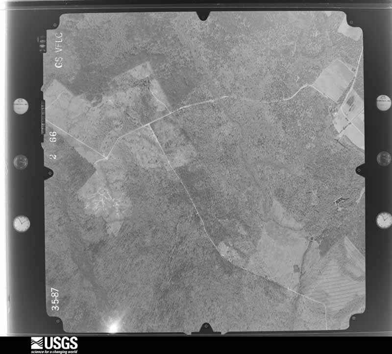
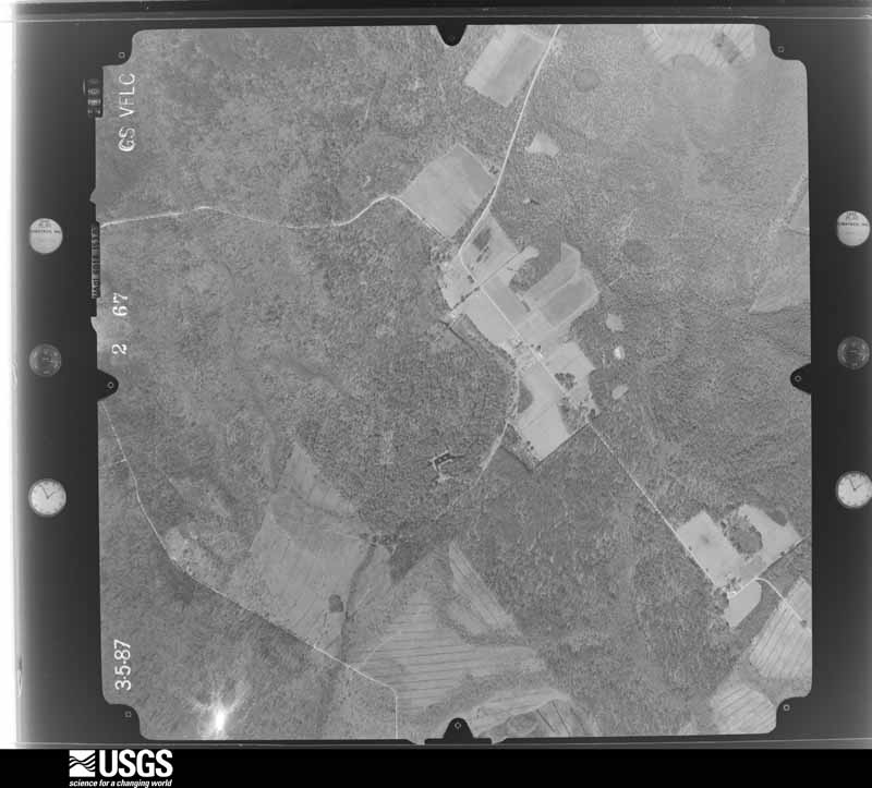
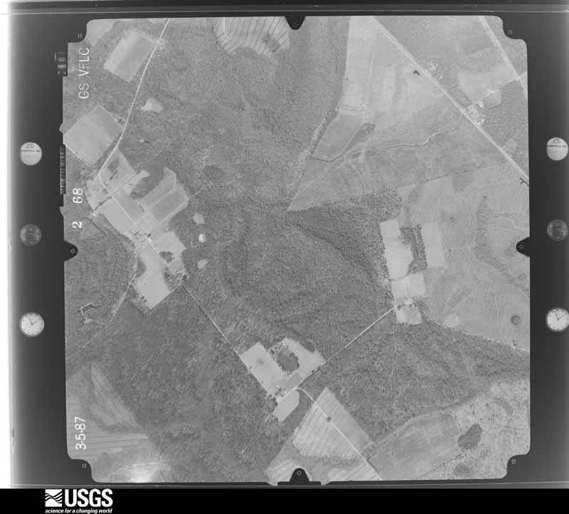
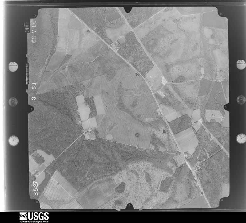
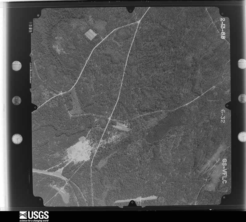
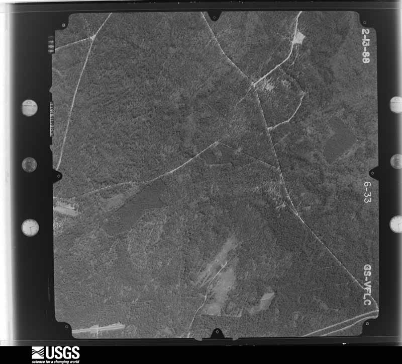
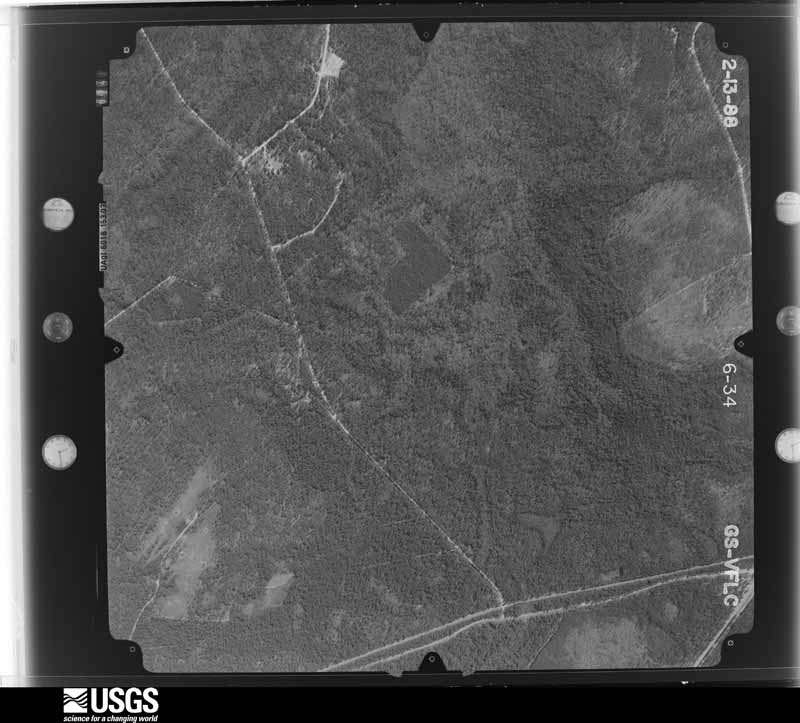
The thermometers that kept this county's weather, as the federal records hold them. The extremes below are measured values from those records, not estimates.
Who lived here in 1950, one enumeration district at a time, as the Census Bureau described each district. Each row opens its official National Archives result, with Population Schedules and ED Maps available there.
Every wildfire the federal occurrence database records inside this county: 1,469 of them, burning about 15,449 acres. 109 started naturally and 478 were recorded as arson. Each settlement page carries the fires within five miles of it.
| Reported cause | Fires |
|---|---|
| Debris and open burning | 616 |
| Arson/incendiarism | 478 |
| Natural | 109 |
| Missing data/not specified/undetermined | 81 |
| Misuse of fire by a minor | 57 |
| Equipment and vehicle use | 44 |
| Railroad operations and maintenance | 31 |
| Smoking | 27 |
| Recreation and ceremony | 26 |
The five largest, by the area the report gives. One of them was set deliberately.
| Date | Cause | Size | Reported by | Name on the report |
|---|---|---|---|---|
| 24 March 2011 | Debris and open burning | 4,035 acres | Georgia Forestry Commission | FY2011-LONG-083 |
| 12 April 2007 | Debris and open burning | 1,743 acres | Georgia Forestry Commission | DREGGERS FIRE |
| 9 June 2011 | Natural | 760 acres | Georgia Forestry Commission | FY2011-LONG-110 |
| 8 May 2011 | Arson/incendiarism | 450 acres | Georgia Forestry Commission | FY2011-LONG-103 |
| 19 May 2011 | Debris and open burning | 440 acres | Georgia Forestry Commission | FY2011-LONG-105 |
| 4 May 2011 | Natural | 400 acres | Georgia Forestry Commission | FY2011-LONG-102 |
| 24 March 2018 | Debris and open burning | 305 acres | Georgia Forestry Commission | FY2018LONG011 |
| 28 May 2011 | Natural | 279 acres | Georgia Forestry Commission | FY2011-LONG-106 |
Every settlement page carries the fires within five miles of it - see the settlement index below.
The NOAA Storm Events Database holds 191 reports for this county, causing 3 deaths, 28 injuries and about $392,550 in recorded property damage. Each settlement page carries the reports that name it.
| Kind of event | Reports |
|---|---|
| Thunderstorm Wind | 127 |
| Hail | 51 |
| Flash Flood | 6 |
| Tornado | 5 |
| Lightning | 2 |
The most serious of them, by death, then injury, then recorded damage. The accounts are quoted exactly as the forecast office filed them.
| When | Event | Place named | Harm | What the report says |
|---|---|---|---|---|
| April 1998 | Tornado (F2) | Donald | 3 killed, 24 hurt, $200,000 | Tornado touched down in the Rye Patch Community where 3 people died (all were in mobile homes).Ten mobile homes were destroyed and two others were damaged along with a roof blown off a block house. Numerous trees were uprooted or snapped off above the ground. |
| May 1974 | Tornado (F2) | not stated | 2 hurt, $25,000 | no account filed |
| October 2009 | Thunderstorm Wind | Donald | 1 hurt, $15,000 | A county official reported numerous trees and powerlines down on Highway 196. A tree also fell onto a car at the intersection of Flowers Road and Highway 196 with one person sustaining minor injuries. |
| July 2012 | Thunderstorm Wind | Bayview | 1 hurt, $10,000 | Law Enforcement reported on tree down on top of a house along Cottage Street. One woman was trapped inside with unknown injuries. |
| October 2009 | Tornado (EF0) | Donald | $15,000 | The Long county emergency manager reported shingle damage to two homes about 55 yards apart from each other along with trees and power lines down near the intersection of Flowers Road and Highway 196. Shingle damage was found on the northeast side of both home structures, thus indicating a tornadic circulation. A report of a tornado along with shingle and tree damage led to a confirmed EF0 tornado with estimated wind speeds of 75 to 85 miles per hour. The path of the tornado was brief with an estimate of a couple hundred feet in length. Monetary damage was estimated at $15,000. No deaths or injuries were associated with the tornado. |
| October 2009 | Thunderstorm Wind | Donald | $10,000 | A spotter reported 3 trees down with 1 tree down on a vehicle 3 miles north of Donald, Georgia. |
| June 1995 | Thunderstorm Wind | Ludowici | $10,000 | Thunderstorm winds knocked down several large trees. |
| June 1995 | Hail | Southern Half | $8,000 | Trees and power lines down. |
| June 1995 | Thunderstorm Wind | not stated | $8,000 | Trees and power lines down. |
| May 2013 | Thunderstorm Wind | Bayview | $7,500 | The Ludowici Police Department reported numerous trees and powerlines down in downtown Ludowici. |
| June 2009 | Thunderstorm Wind | Bayview | $7,500 | Law enforcement reported a tree down on a car at a residence along Hall Road one mile north of Ludowici, Georgia. |
| June 2021 | Lightning | Donald | $5,000 | The Long County 911 Call Center reported a house fire caused by a lightning strike along Rye Patch Road, which led to minor siding and roof damage. |
| January 2013 | Thunderstorm Wind | Bayview | $5,000 | HAM Radio operator relayed a report from the Long County Fire Department of a tree down on a car. No injuries reported. |
| February 2008 | Thunderstorm Wind | Bayview | $5,000 | A tree was reported to have fallen on a car in Ludowici, Georgia on Highway 84. There were no injuries reported. |
| May 1994 | Thunderstorm Wind | Ludowici | $5,000 | Thunderstorm winds blew down several large trees. |
| June 1994 | Thunderstorm Wind | Ludowici | $5,000 | Numerous trees and power lines were downed by thunderstorm winds in Ludowici. |
| July 2008 | Thunderstorm Wind | Bayview | $3,500 | Five 10 inch diameter trees were reported down by the Long county warning point east of Ludowici, Georgia. One tree blocked Simons Mill Pond Road and another fell on a power line. |
| August 2008 | Thunderstorm Wind | Donald | $3,000 | Six trees were reported down on Highway 301. |
| August 2008 | Thunderstorm Wind | Aimar | $3,000 | Trees and power lines were reported down 3 miles south of Walthourville, Georgia. |
| January 2014 | Thunderstorm Wind | Bayview | $2,000 | Trained Spotter reported a powerline down off of Macon Street. |
| July 2012 | Thunderstorm Wind | Donald | $2,000 | The Long County 911 call center relayed a report of a power line down near the intersection of Highway 301 and Bradwell Durham Road. |
| July 2011 | Thunderstorm Wind | Bayview | $2,000 | Broadcast Media relayed a report of a tree and power lines down near the intersection of Old Macon Darien Road and Roy Smith Road, 3 miles southeast of Ludowici, Georgia. The tree was blocking the road to vehicle traffic. |
| April 2009 | Thunderstorm Wind | Donald | $2,000 | Several trees and power lines were reported down across Smith Berry Road near Highway 301 and State Road 196 in Donald, Georgia. |
| June 2009 | Thunderstorm Wind | Donald | $2,000 | Law Enforcement reported several trees down along Route 301 near Donald, Georgia. |
| July 2008 | Thunderstorm Wind | Donald | $2,000 | Trees were reported down along Highway 301 in Wefanie, Georgia. |
| June 2006 | Thunderstorm Wind | Ludowici | $2,000 | Large oak tree down in yard. |
| July 1995 | Thunderstorm Wind | Ludowici | $2,000 | Thunderstorm winds knocked down several trees. |
| May 2012 | Thunderstorm Wind | Bayview | $1,500 | Several trees down and blocking the road at State Road 57 about one mile south of the Tibet Baptist Church. |
| May 2009 | Thunderstorm Wind | Bayview | $1,500 | The law enforcement reported trees down in Ludowici, Georgia. |
| August 2018 | Thunderstorm Wind | Aimar | $1,250 | The Long County 911 Call Center reported power lines down on Sandy Run Road. |
| June 2011 | Thunderstorm Wind | Aimar | $1,250 | A 911 center reported a power line down on Rye Patch Road. |
| April 2011 | Thunderstorm Wind | Donald | $1,250 | Law enforcement reported powerlines down along Rye Patch Road. |
| June 2020 | Lightning | Donald | $1,000 | A report relayed via amateur radio indicated lightning struck and brought down a tree off Highway 196. |
| July 2012 | Thunderstorm Wind | Aimar | $1,000 | The Long County 911 call center relayed a report of 1 tree down along Tibet Road. |
| July 2012 | Thunderstorm Wind | Aimar | $1,000 | One tree blown on Rye Patch Road, near Lanier Road. |
| June 2012 | Thunderstorm Wind | Donald | $1,000 | An emergency manager reported one tree down along Highway 301 near Jones Creek Georgia. |
| June 2012 | Thunderstorm Wind | Bayview | $1,000 | An emergency manager reported one tree down near the intersection of Highway 84 and Doyle Durrence Lane. |
| June 2012 | Thunderstorm Wind | Bayview | $1,000 | An emergency manager reported a tree down along Presley Road. |
| June 2011 | Thunderstorm Wind | Donald | $1,000 | Local media relayed a report of one tree down along Highway 261. |
| June 2011 | Thunderstorm Wind | Aimar | $1,000 | A 911 center reported a tree down on Palmer Road. |
| June 2011 | Thunderstorm Wind | Bayview | $1,000 | Law enforcement reported one tree down on Liberty Street. |
| June 2011 | Thunderstorm Wind | Bayview | $1,000 | Law enforcement reported a tree down on Highway 301 near Private Branch Church. |
| June 2010 | Thunderstorm Wind | Donald | $1,000 | A fire department reported a tree down on US Highway 301 near the Long and Tattnall county line. |
| May 2009 | Thunderstorm Wind | Bayview | $1,000 | Law enforcement reported a powerline down in Ryepatch Georgia. |
| June 2009 | Thunderstorm Wind | Donald | $1,000 | Law Enforcement reported a tree down on a power line, 1 mile north-northwest of Donald, Georgia. |
| August 2007 | Thunderstorm Wind | Donald | $1,000 | One tree fell on a powerline near the intersection of Ryepatch Road and Highway 301. |
| June 2010 | Thunderstorm Wind | Donald | $800 | Law enforcement reported a large limb down on Georgia Highway 144 near the Fort Stewart entrance gate. |
| August 2008 | Thunderstorm Wind | Ludowici | $750 | One large tree and several large tree limbs were reported down across Jones Creek Loop, 5 miles north-northwest of Doctortown, Georgia. Pea sized hail was also reported. |
| January 2013 | Thunderstorm Wind | Bayview | $500 | HAM Radio operator relayed a report from the Long County Fire Department of a tree down across the road from the Family Dollar. |
| May 2013 | Thunderstorm Wind | Bayview | $500 | Long County Emergency Management reported a tree down near Highway 84 and Hendrix Street. |
| May 2013 | Thunderstorm Wind | Bayview | $500 | A trained spotter reported several two inch diamter tree limbs snapped off by thunderstorm winds on Robertson Street. |
| August 2012 | Thunderstorm Wind | Aimar | $500 | One tree was reported down along Elim Church Road. |
| August 2011 | Thunderstorm Wind | Donald | $500 | Law enforcement reported a large limb down and blocking a portion of Highway 57. |
| June 2009 | Thunderstorm Wind | Donald | $500 | Law Enforcement reported a tree down on George Swindell Road in Donald, Georgia. |
| July 1995 | Thunderstorm Wind | Ludowici | $500 | Thunderstorm winds knocked several trees down within Ludowici. |
| July 2010 | Thunderstorm Wind | Bayview | $250 | Several 4 inch diameter tree limbs were reported down along Highway 57, five miles northwest of Townsend, Georgia. |
| May 2025 | Hail | Bayview | - | A social media report was received indicating golf ball sized hail on the southeast side of Ludowici. |
| July 2025 | Thunderstorm Wind | Bayview | - | A tree was reported down along Ceasar Avenue. The report was relayed via social media. |
| August 2025 | Thunderstorm Wind | Bayview | - | Emergency management reported several trees down east southeast of Ludowici along Old Macon Darien Road, Hill Street, Prince Road and Stafford Dairy Road. A few trees fell on homes. Minor damage was also reported to a few homes due to thunderstorm winds. |
| May 2024 | Thunderstorm Wind | Ludowici | - | Long County dispatch reported two trees down in the county. |
The Survey's mineral resources record lists 2 workings inside this county. All of them still produce. Each settlement page carries the workings within five miles of it.
| Commodity | Workings |
|---|---|
| Stone | 1 |
| Sand and Gravel, Construction | 1 |
The least common of them first, because a county's hundredth gravel pit says nothing its first ten did not.
| Where | Site | Commodity | Status | Recorded |
|---|---|---|---|---|
| Morgan Lake Pit | Stone | Producer | ||
| Strickland Mines | Sand and Gravel, Construction | Producer |
Named settlements recorded in the Geographic Names Information System, each with the topographic sheets covering it. Villages, hamlets and abandoned places alike. Each is shown with the nearest named watercourse or landform and the survey quadrangle it falls on.
Ludowici North census division · 30427 · Glennville SW quadrangle
17 sheets, 1920 to 1981
Ludowici South census division · 31316 · Ludowici quadrangle
13 sheets, 1943 to 1981
No longer a settlement
Ludowici North census division · Glennville NE quadrangle
16 sheets, 1920 to 1981
No longer a settlement
Ludowici South census division · 31316 · On Hall Branch · Ludowici quadrangle
13 sheets, 1943 to 1981
Ludowici North census division · 31316 · Glennville SE quadrangle
16 sheets, 1920 to 1981
No longer a settlement
Ludowici North census division · On Kirkland Creek · Glennville NE quadrangle
16 sheets, 1920 to 1981
No longer a settlement
Ludowici North census division · 31316 · Glennville SE quadrangle
16 sheets, 1920 to 1981
Ludowici South census division · 31316 · Townsend quadrangle
13 sheets, 1943 to 1981
No longer a settlement
Ludowici North census division · 31316 · On Fletcher Branch · Glennville SE quadrangle
16 sheets, 1920 to 1981
The vanished settlements of Long County: the places named above that are no longer on the map.