 Block
Donald, Georgia
16 topographic sheets cover this place, the earliest surveyed in 1920 and the latest in 1981. It stands in the Ludowici North census division. It lies in ZIP code area 31316. The Survey maps it on the Glennville SE quadrangle. It stands 79 feet above sea level.
Research this city
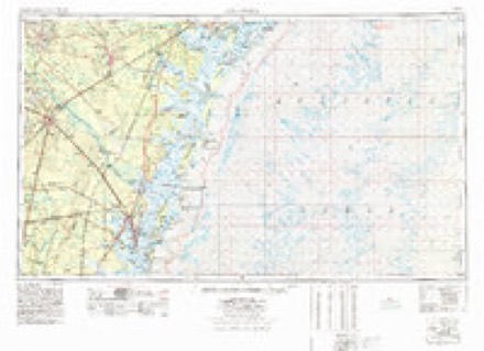
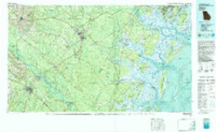
Topographic sheets covering this place
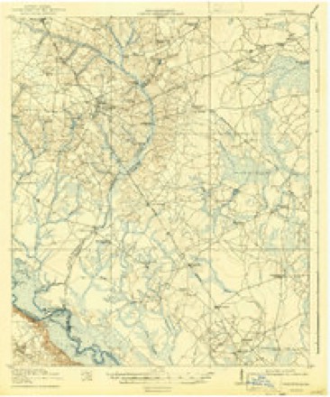
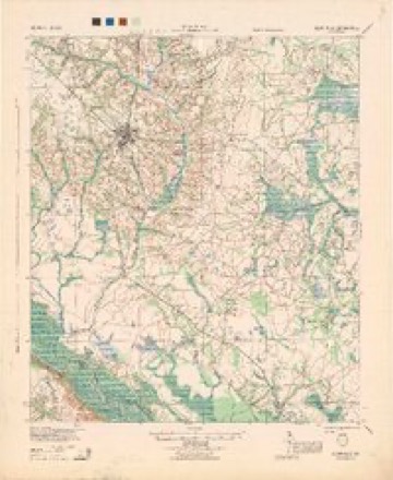
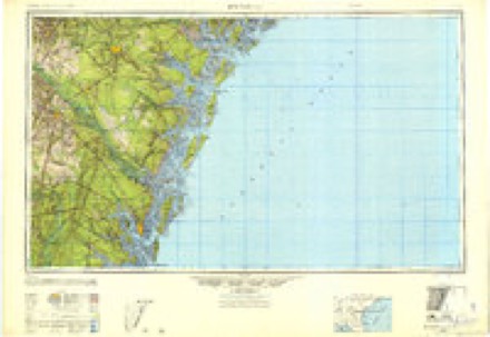
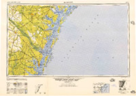
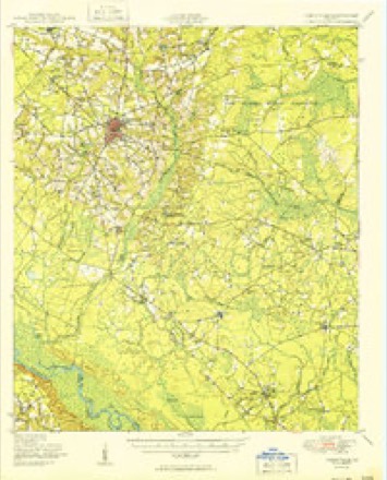
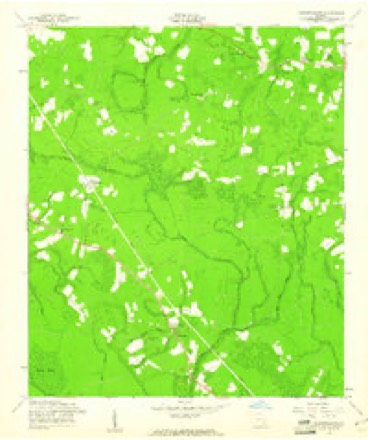
10 surveys from 16 printed sheetsMatched by testing this settlement's coordinate against the published boundary of every sheet in the United States Geological Survey's historical collection. Each opens the scanned sheet at the Survey.
- 1920 USGS Glennville quadrangle1:62500, 3 printings
- 1944 USGS Glennville quadrangle1:62500
- 1946 USGS Brunswick quadrangle1:250000
- 1948 USGS Brunswick quadrangle1:250000
- 1950 USGS Glennville quadrangle1:62500, 2 printings
- 1956 USGS Brunswick quadrangle1:250000, 2 printings
- 1958 USGS Glennville SE quadrangle1:24000, 2 printings
- 1961 USGS Brunswick quadrangle1:250000
- 1978 USGS Brunswick quadrangle1:250000, 2 printings
- 1981 USGS Jesup quadrangle1:100000
Fires near this place
354 since 1992Regional context, not property-specific evidence. The federal wildfire occurrence database lists 354 fires within 5 miles of Donald between 1992 and 2020, burning about 4,885 acres in total. 23 started naturally. 71 were recorded as arson. Distance is straight-line from the map coordinates, so a fire counted here may appear on a neighbouring settlement's page as well.
| Reported cause | Fires |
|---|---|
| Debris and open burning | 200 |
| Arson/incendiarism | 71 |
| Natural | 23 |
| Missing data/not specified/undetermined | 21 |
| Equipment and vehicle use | 14 |
| Misuse of fire by a minor | 12 |
| Recreation and ceremony | 7 |
| Smoking | 6 |
The most recent of them, most recent first, with the day each was reported and the service that recorded it.
| Date | Cause | Size | Reported by | Name on the report |
|---|---|---|---|---|
| 30 September 1993 | Debris and open burning | 3.9 acres | Georgia Forestry Commission | not named |
| 3 September 2010 | Debris and open burning | 2.0 acres | Georgia Forestry Commission | FY2011-LONG-004 |
| 28 September 2003 | Missing data/not specified/undetermined | under an acre | Georgia Forestry Commission | not named |
| 27 September 2019 | Debris and open burning | under an acre | Georgia Forestry Commission | FY2020LONG008 |
| 26 September 2019 | Debris and open burning | 3.8 acres | Georgia Forestry Commission | FY2020LONG007 |
| 25 September 1996 | Debris and open burning | 3.8 acres | Georgia Forestry Commission | not named |
| 24 September 2012 | Debris and open burning | 17 acres | Georgia Forestry Commission | FY2013-LONG-004 |
| 20 September 1997 | Equipment and vehicle use | 2.0 acres | Georgia Forestry Commission | not named |
Settlements close enough to share some of these fires:
Storms near this place
45 since 1998Regional context, not property-specific evidence. The National Weather Service names Donald in 45 storm reports between 1998 and 2024: 29 thunderstorm wind, 12 hail, 2 tornado, 2 lightning. The reports record 3 deaths and 25 injuries. Each account below is quoted exactly as the forecast office filed it, from the NOAA Storm Events Database, and each date opens the federal record of that event.
| When | Event | Place named | Harm | What the report says |
|---|---|---|---|---|
| April 1998 | Tornado (F2) | Donald | 3 killed, 24 hurt, $200,000 | Tornado touched down in the Rye Patch Community where 3 people died (all were in mobile homes).Ten mobile homes were destroyed and two others were damaged along with a roof blown off a block house. Numerous trees were uprooted or snapped off above the ground. |
| October 2009 | Thunderstorm Wind | Donald | 1 hurt, $15,000 | A county official reported numerous trees and powerlines down on Highway 196. A tree also fell onto a car at the intersection of Flowers Road and Highway 196 with one person sustaining minor injuries. |
| October 2009 | Tornado (EF0) | Donald | $15,000 | The Long county emergency manager reported shingle damage to two homes about 55 yards apart from each other along with trees and power lines down near the intersection of Flowers Road and Highway 196. Shingle damage was found on the northeast side of both home structures, thus indicating a tornadic circulation. A report of a tornado along with shingle and tree damage led to a confirmed EF0 tornado with estimated wind speeds of 75 to 85 miles per hour. The path of the tornado was brief with an estimate of a couple hundred feet in length. Monetary damage was estimated at $15,000. No deaths or injuries were associated with the tornado. |
| October 2009 | Thunderstorm Wind | Donald | $10,000 | A spotter reported 3 trees down with 1 tree down on a vehicle 3 miles north of Donald, Georgia. |
| June 2021 | Lightning | Donald | $5,000 | The Long County 911 Call Center reported a house fire caused by a lightning strike along Rye Patch Road, which led to minor siding and roof damage. |
| August 2008 | Thunderstorm Wind | Donald | $3,000 | Six trees were reported down on Highway 301. |
| July 2012 | Thunderstorm Wind | Donald | $2,000 | The Long County 911 call center relayed a report of a power line down near the intersection of Highway 301 and Bradwell Durham Road. |
| April 2009 | Thunderstorm Wind | Donald | $2,000 | Several trees and power lines were reported down across Smith Berry Road near Highway 301 and State Road 196 in Donald, Georgia. |
| June 2009 | Thunderstorm Wind | Donald | $2,000 | Law Enforcement reported several trees down along Route 301 near Donald, Georgia. |
| July 2008 | Thunderstorm Wind | Donald | $2,000 | Trees were reported down along Highway 301 in Wefanie, Georgia. |
| April 2011 | Thunderstorm Wind | Donald | $1,250 | Law enforcement reported powerlines down along Rye Patch Road. |
| June 2020 | Lightning | Donald | $1,000 | A report relayed via amateur radio indicated lightning struck and brought down a tree off Highway 196. |
| June 2012 | Thunderstorm Wind | Donald | $1,000 | An emergency manager reported one tree down along Highway 301 near Jones Creek Georgia. |
| June 2011 | Thunderstorm Wind | Donald | $1,000 | Local media relayed a report of one tree down along Highway 261. |
| June 2010 | Thunderstorm Wind | Donald | $1,000 | A fire department reported a tree down on US Highway 301 near the Long and Tattnall county line. |
| June 2009 | Thunderstorm Wind | Donald | $1,000 | Law Enforcement reported a tree down on a power line, 1 mile north-northwest of Donald, Georgia. |
| August 2007 | Thunderstorm Wind | Donald | $1,000 | One tree fell on a powerline near the intersection of Ryepatch Road and Highway 301. |
| June 2010 | Thunderstorm Wind | Donald | $800 | Law enforcement reported a large limb down on Georgia Highway 144 near the Fort Stewart entrance gate. |
| August 2011 | Thunderstorm Wind | Donald | $500 | Law enforcement reported a large limb down and blocking a portion of Highway 57. |
| June 2009 | Thunderstorm Wind | Donald | $500 | Law Enforcement reported a tree down on George Swindell Road in Donald, Georgia. |
| June 2024 | Hail | Donald | - | A firefighter relayed pictures of ping pong size hail. |
| June 2024 | Hail | Donald | - | The media reported golf ball size hail along Highway 301. |
| June 2024 | Hail | Donald | - | A spotter reported nickel size hail along Highway 196. |
| April 2023 | Thunderstorm Wind | Donald | - | A Long County emergency manager provided pictures of damage to a metal roof of an outbuilding as well as 2 tree canopies snapped. |
| March 2021 | Thunderstorm Wind | Donald | - | Long County Emergency Management reported a metal roof blown off of a large shed near Donald. |
| April 2020 | Thunderstorm Wind | Donald | - | A picture via social media indicated a tree blocking part of Highway 196. |
| May 2020 | Hail | Donald | - | Dime to quarter sized hail was reported at the intersection of Highway 196 and County Line Road. The report was relayed via social media by Southeast Georgia Radio (SEGAR). |
| May 2020 | Thunderstorm Wind | Donald | - | A tree was reported down on Smiley Cross Road. |
| June 2016 | Thunderstorm Wind | Donald | - | A trained spotter reported two trees down along Highway 196 and damage to a small cattle shed in the Sand Hills area. |
| April 2015 | Thunderstorm Wind | Donald | - | The Long County 911 Call Center reported a tree down near the intersection of US 301 and Jones Creek Loop. |
| July 2015 | Thunderstorm Wind | Donald | - | Law enforcement reported a tree down on John Wells Road and Highway 196. |
| May 2014 | Hail | Donald | - | A trained spotter reported nickel to quarter sized hail. |
| May 2014 | Thunderstorm Wind | Donald | - | A warehouse off Highway 196 sustained roof and siding damage. Also, a cattle shed across the street had some roof damage. |
| May 2013 | Hail | Donald | - | A trained spotter reports hail up to the size of quarters on Flowers Road near highway 196. |
| April 2011 | Thunderstorm Wind | Donald | - | Law enforcement reported a tree down along Highway 196. |
| June 2010 | Hail | Donald | - | The public reported penny size hail. |
| April 2009 | Hail | Donald | - | Law Enforcement reported quarter size hail on Highway 261, 3 miles north of Donald, Georgia. |
| April 2009 | Hail | Donald | - | A report of nickel size hail was relayed by an Amateur Radio operator in Beards Creek, Georgia. |
| April 2009 | Hail | Donald | - | The public reported quarter size hail at the intersection of Route 196 and Beards Bluff Road, 6 miles northwest of Donald, Georgia. |
| June 2009 | Hail | Donald | - | A Long county official reported nickel size hail in Donald, Georgia. |
| December 2006 | Thunderstorm Wind | Donald | - | Trees were reported down along Macedonia Church Road. |
| May 2002 | Thunderstorm Wind | Donald | - | Several trees and large limbs were down. |
| June 2002 | Thunderstorm Wind | Donald | - | Several trees and large winds were blown down. |
| August 2000 | Thunderstorm Wind | Donald | - | Trees and power lines down. |
| May 1998 | Hail | Donald | - | no account filed |
Nearest settlements
The eight closest, with where each one stands in the county. Distances are straight-line, computed from the Geographic Names Information System coordinates.
| Map | Place | Distance | Sheets |
|---|---|---|---|
| Roderick (historical) | 2.4 miles | 16 | |
| Beards Creek | 3.6 miles | 17 | |
| Wefanie | 3.9 miles | 16 | |
| Noble | 4.5 miles | 17 | |
| Smiley Crossroads | 5.3 miles | 16 | |
| Smiley (historical) | 6.7 miles | 16 | |
| Kent (historical) | 9.0 miles | 16 | |
| Elim | 9.5 miles | 17 |
Elsewhere
Matched on this settlement's Geographic Names Information System number rather than its name, so it cannot be a different place of the same name in another state.
| Wikipedia article on Donald | An encyclopaedic summary. Its text is share-alike, so it is linked here rather than copied. |
| Wikidata item Q5293906 | The structured record the population and elevation above come from. Public domain (CC0). |
Provenance
This settlement is recorded in the Geographic Names Information System as feature 313537. The sheet list is computed by point-in-boundary test against the United States Geological Survey's historical topographic inventory. Both are works of the United States government and carry no copyright under 17 U.S.C. 105.
Wildfire. Short, Karen C. 2022. Spatial wildfire occurrence data for the United States, 1992-2020 [FPA_FOD_20221014]. 6th Edition. Fort Collins, CO: Forest Service Research Data Archive. https://doi.org/10.2737/RDS-2013-0009.6 Collected with United States Government funding and usable without additional permissions or fees.
Storms. NOAA National Centers for Environmental Information, Storm Events Database https://www.ncei.noaa.gov/stormevents/ A work of the United States government, no copyright under 17 U.S.C. 105. Narratives are quoted verbatim from the National Weather Service report and are not edited or summarised.