 Block
From the record
7 National Register listings published here.
Sources: the National Register database, National Park Service
36 topographic sheets and 4 fire insurance atlases across 1 place.
7 National Register listings published here.
Sources: the National Register database, National Park Service
Taken for the Office of War Information and the Farm Security Administration, who photographed the country between 1935 and 1944. Works of United States government photographers, with no known restriction on use. Each opens its catalogue record.















Every property in this county listed on the National Register of Historic Places, with the year it was listed and the federal nomination document.
| Photograph | Property | Type | Listed | Reference |
|---|---|---|---|---|
 | Alfred and Jane Ables House | building | 2002 | 02000841 |
 | Champion-McGarrah Plantation | building | 1984 | 84001156 |
 | Drane-Stevens House | building | 1999 | 99000899 |
 | Marion County Courthouse | building | 1980 | 80001115 |
 | Old Marion County Courthouse | building | 1980 | 80001116 |
 | Pasaquan | district | 2008 | 08000833 |
 | Shiloh-Marion Baptist Church and Cemetery | building | 1984 | 84001159 |
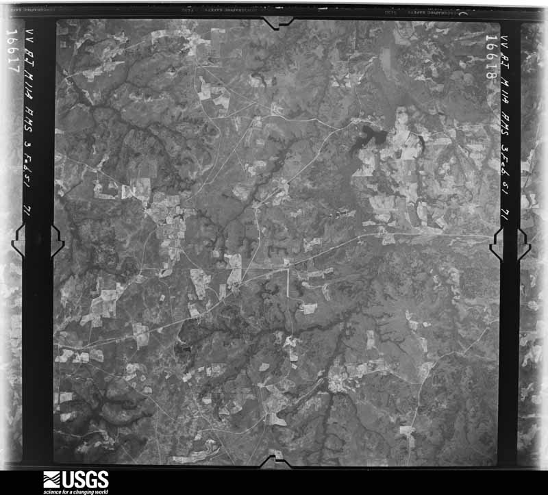
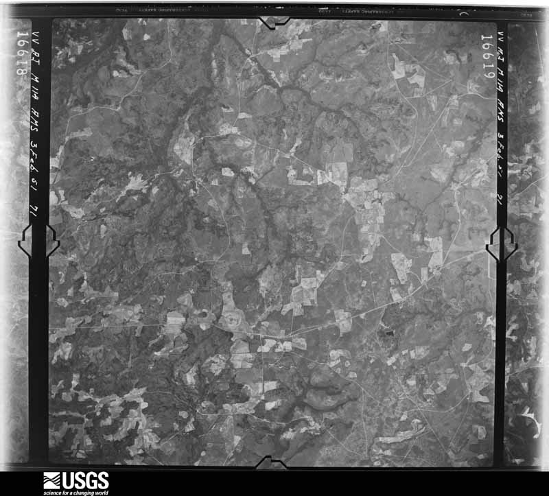
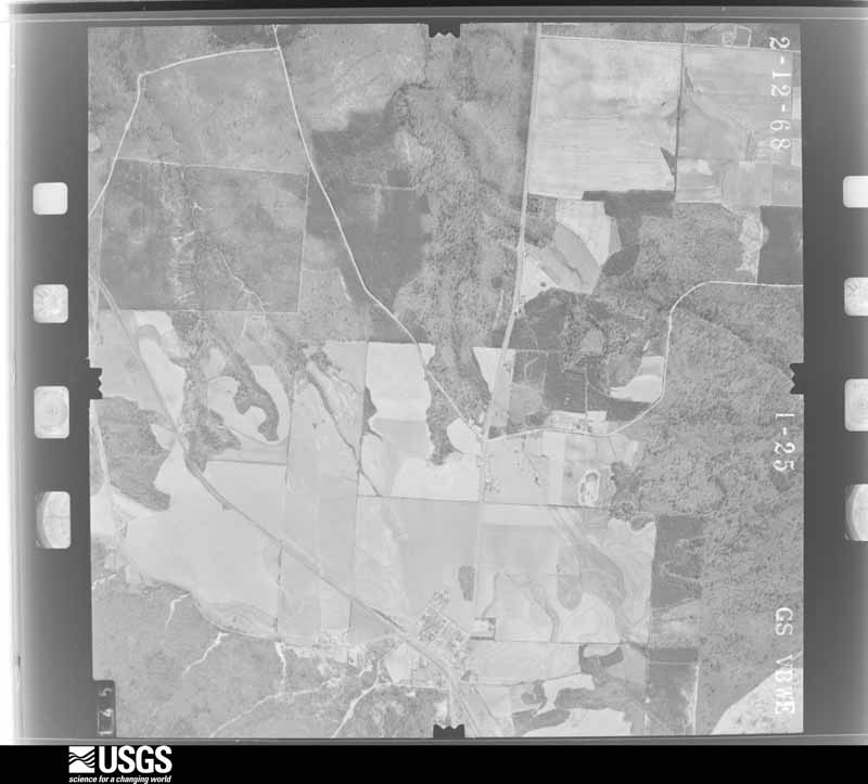
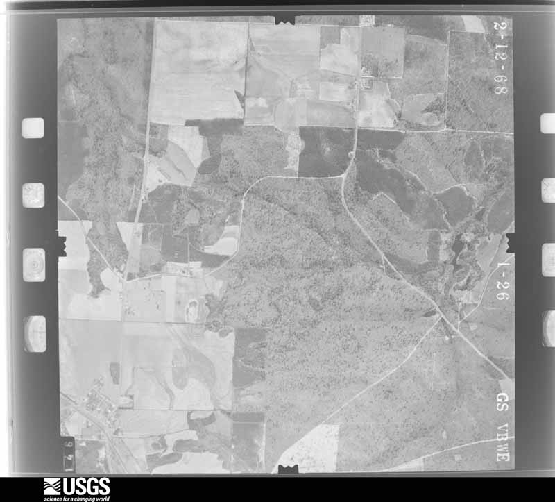
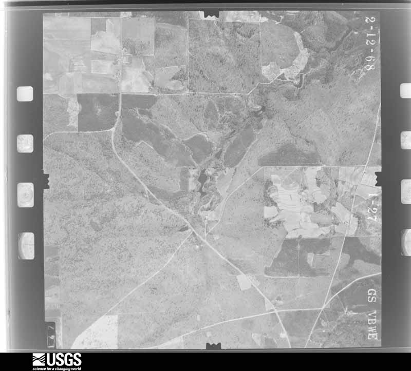
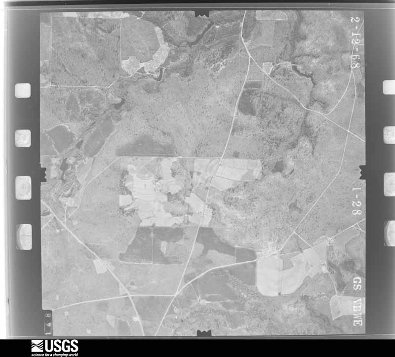
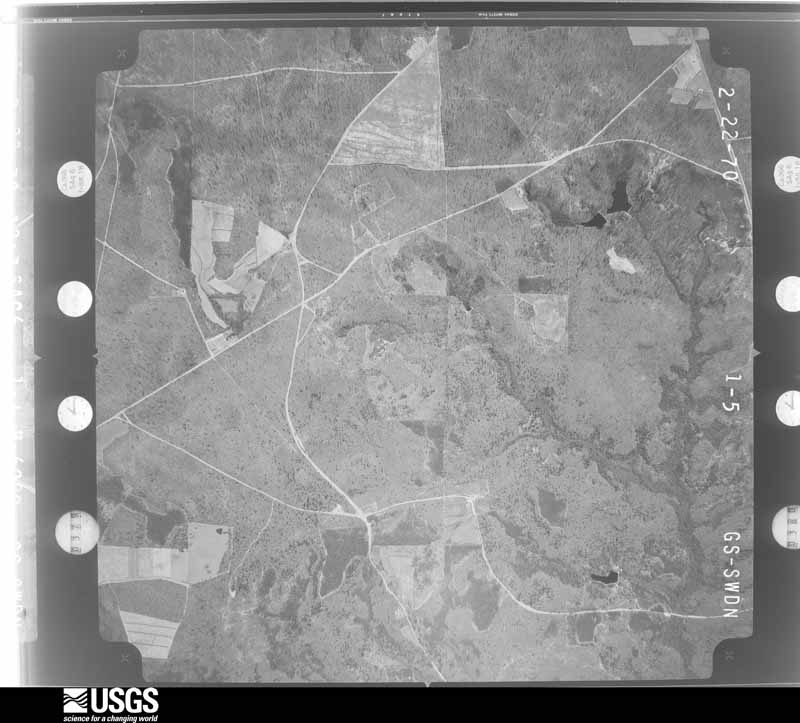
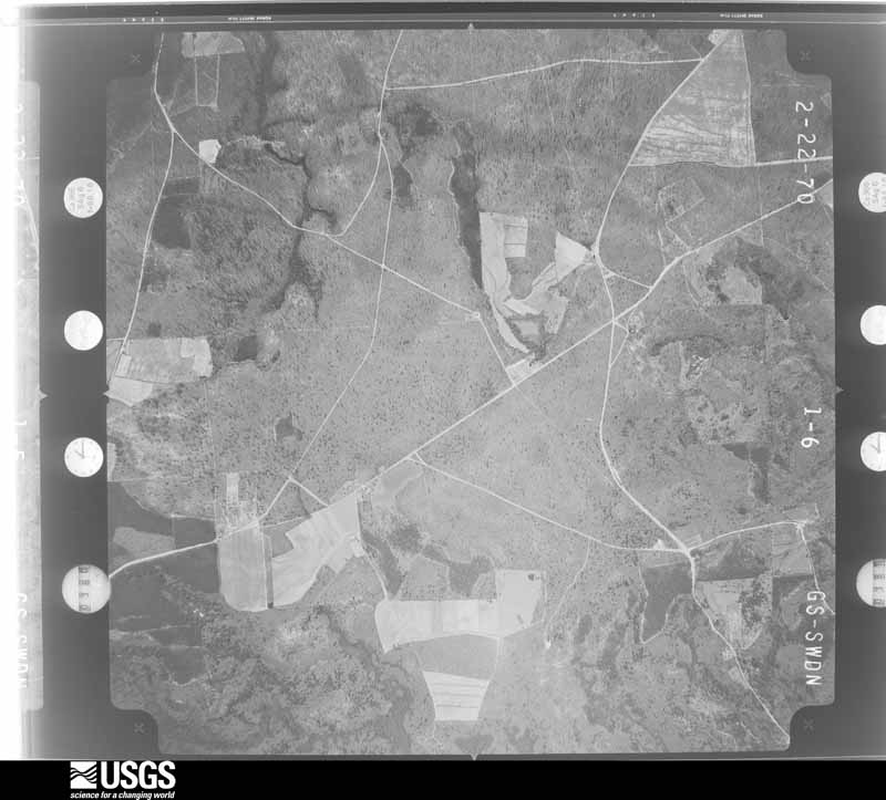
Flown by the U.S. Geological Survey between 1937 and 1989, the Aerial Photo Single Frames collection is the definitive mid-century view of the land: fields, roads and rivers as the camera saw them. The Survey holds 320 frames inside the rectangle that bounds this county; the 16 frames below were taken over the county itself, chosen across the decades of flights (at most four a year from that rectangle), so one flight cannot crowd out the rest. The full set is free to browse and download at EarthExplorer under the dataset Aerial Photo Single Frames.








The thermometers that kept this county's weather, as the federal records hold them. The extremes below are measured values from those records, not estimates.
Who lived here in 1950, one enumeration district at a time, as the Census Bureau described each district. Each row opens its official National Archives result, with Population Schedules and ED Maps available there.
Every wildfire the federal occurrence database records inside this county: 1,188 of them, burning about 6,531 acres. 92 started naturally and 182 were recorded as arson. Each settlement page carries the fires within five miles of it.
| Reported cause | Fires |
|---|---|
| Debris and open burning | 623 |
| Arson/incendiarism | 182 |
| Natural | 92 |
| Equipment and vehicle use | 91 |
| Missing data/not specified/undetermined | 72 |
| Smoking | 70 |
| Recreation and ceremony | 26 |
| Misuse of fire by a minor | 24 |
| Railroad operations and maintenance | 8 |
The five largest, by the area the report gives. One of them was set deliberately.
| Date | Cause | Size | Reported by | Name on the report |
|---|---|---|---|---|
| 22 March 2018 | Debris and open burning | 522 acres | Georgia Forestry Commission | FY2018MARION029 |
| 10 June 1993 | Missing data/not specified/undetermined | 236 acres | Georgia Forestry Commission | not named |
| 19 January 2014 | Debris and open burning | 215 acres | Georgia Forestry Commission | FY2014-MARION-010 |
| 6 July 1993 | Debris and open burning | 141 acres | Georgia Forestry Commission | not named |
| 8 March 2011 | Arson/incendiarism | 135 acres | Georgia Forestry Commission | FY2011-MARION-045 |
| 15 November 2016 | Debris and open burning | 112 acres | Georgia Forestry Commission | FY2017-MARION-024 |
| 21 March 2004 | Debris and open burning | 96 acres | Georgia Forestry Commission | not named |
| 8 May 2012 | Natural | 87 acres | Georgia Forestry Commission | FY2012-MARION-057 |
Every settlement page carries the fires within five miles of it - see the settlement index below.
The NOAA Storm Events Database holds 114 reports for this county, causing no deaths, 12 injuries and about $1,308,020 in recorded property damage. Each settlement page carries the reports that name it.
| Kind of event | Reports |
|---|---|
| Thunderstorm Wind | 74 |
| Hail | 24 |
| Tornado | 11 |
| Flash Flood | 3 |
| Lightning | 1 |
| Flood | 1 |
The most serious of them, by death, then injury, then recorded damage. The accounts are quoted exactly as the forecast office filed them.
| When | Event | Place named | Harm | What the report says |
|---|---|---|---|---|
| December 1954 | Tornado (F2) | not stated | 7 hurt, $25,000 | no account filed |
| April 1953 | Tornado (F2) | not stated | 3 hurt, $25,000 | no account filed |
| April 1953 | Tornado (F2) | not stated | 2 hurt, $250,000 | no account filed |
| February 1977 | Tornado | not stated | $250,000 | no account filed |
| April 2011 | Thunderstorm Wind | Juniper | $150,000 | The Marion County 911 Center reported extensive and widespread damage to trees and power lines across the county. Several homes and business sustained minor to moderate damage from downed trees on the structures, especially within the city of Buena Vista. Over 12 roads were closed as a result of downed trees and power lines. |
| June 2005 | Lightning | Buena Vista | $100,000 | The Tri-County Journal reported that lightning struck a propane line leading into a home on McAllister Drive west of Buena Vista. The lightning ignited the line and set the home on fire. The flames were reported to have been up to 50 feet in the air. The home was completely destroyed. |
| November 1997 | Tornado (F1) | Draneville | $100,000 | West of Draneville, nearly 50 trees were knocked down and several grain silos and out-buildings were damaged. A church just southeast of Draneville on highway 30 was destroyed. Its roof was blown into a nearby orchard, where 116 pecan trees were also destroyed. The roof of a youth center was lifted off. A gas station/grocery store sustained minor damage. |
| February 2008 | Tornado (EF0) | Brantley | $75,000 | An aerial and ground survey conducted by the National Weather Service Forecast Office in Peachtree City, Georgia concluded that the EF0 tornado that originated in Stewart county and then tracked through Chattahoochee county, continued into Marion county. The tornado entered Marion county about three miles northwest of Union, where Georgia Highway 137 touches the Chattahoochee county line. The tornado then continued on an east-northeastward track across the county exiting into Taylor county across Georgia Highway 127/240C, about one mile south of Mauk. The tornado passed about fives miles north of the county seat, Buena Vista, crossing Georgia Highway 41 at that point. The tornado had a estimated tornado path length was approximately 18 miles with a maximum path width of 100 yards. Numerous trees and power lines were blown down along the spotty damage path of the tornado, including several large trees which were uprooted at the Johnson Cemetery. The most significant damage occurred to a manufactured home, which was heavily damaged, in the northeast part of the county near Five Points on Johnson Cemetery Road, just off Georgia Highway 240, or about two miles south of Mauk. The home was destroyed and a large barn behind the home suffered significant damage as well. The adjacent mobile home also sustained some damage. No injuries were reported within the county. |
| March 2013 | Hail | Draneville | $41,370 | The Marion County Emergency Manager reported that widespread dime-sized hail covered the ground along Georgia Highway 30. Some of the hailstones were as large as golfballs. |
| February 2020 | Flash Flood | Lancaster | $30,000 | The Emergency Manager reported that Anthony Road was washed out due to high flow through Juniper Creek. Radar estimates indicate that 2 to 3 inches of rain occurred over the area, falling on already wet soils and resulting in flash flooding. |
| August 2000 | Thunderstorm Wind | Tazewell | $28,000 | The Marion county 911 center reported that two trees fell down. One was a large oak tree that fell on a church in Tazewell, resulting in significant structural damage. The other fell down on a power line along county road 80 at Brantley. |
| February 2019 | Thunderstorm Wind | Juniper | $25,000 | The Marion County Emergency Manager reported several trees blown down along Highway 355 in the Box Springs area as well as wind damage to the roofs of a church and a home. |
| March 2007 | Tornado (EF1) | Oakland | $25,000 | A damage survey conducted by the National Weather Service in Peachtree City, GA concluded that an EF1 tornado had touched down approximately two miles north-northeast of Oakland in far northern Marion county and tracked northeast to a point about five miles northeast of Oakland in far northeast Marion county. The path length of the tornado was about 2.5 miles long with a maximum path width of 100 yards. The tornado roughly paralleled Fort Perry Road. Numerous trees were snapped off and a few were uprooted. One barn was destroyed and another had metal sheeting stripped off its roof. A mobile home was shifted off its foundation and one home lost a porch roof. Several fences were damaged by the wind or downed trees. |
| March 2003 | Thunderstorm Wind | Five Pts | $25,000 | The public reported that strong thunderstorm winds blew part of a roof off a barn, blew over a grain auger, and knocked over one tree. |
| September 2020 | Flash Flood | Tazewell | $15,000 | The local Emergency Manager reported several roads washed out in the area, including Moody Road near Sandy Acres. Radar estimates indicate that 4 to 5 inches of rain occurred in the area, resulting in the flash flooding. |
| April 2020 | Thunderstorm Wind | Zellobee | $10,000 | Report of a tree down on a home on the 90th block of Westwind Trail. |
| April 2019 | Thunderstorm Wind | Oakland | $10,000 | The Marion County Emergency Manager reported a mobile home damaged by thunderstorm winds in the Oakland community. |
| July 2003 | Flash Flood | Buena Vista | $10,000 | The Marion county 911 center reported that several roads were washed out from flash flooding. |
| March 2002 | Thunderstorm Wind | Five Pts | $8,000 | The Marion county sheriff reported that thunderstorm winds blew down several trees, blew the top off a latched down camper, and knocked a barn over. |
| January 2020 | Thunderstorm Wind | Hoggs | $7,000 | The Marion County Emergency Manager reported several trees blown down from northwest through southeast of Buena Vista. |
| April 2005 | Thunderstorm Wind | Buena Vista | $7,000 | The public reported that a few trees had fallen down in the city, one of which had fallen on a mobile home and another near the courthouse. The Buena Vista Police Department reported that one tree was down just outside the city limits on Georgia Highway 137 West. |
| June 2016 | Thunderstorm Wind | Buena Vista | $6,000 | The Marion County Emergency Manager reported tress and power lines blown down on Dr. Deryl Hart Road northeast of Buena Vista. |
| April 2020 | Thunderstorm Wind | Buena Vista | $5,000 | Report of a tree down on a shed along 1st Ave in downtown Buena Vista. |
| June 2010 | Thunderstorm Wind | Buena Vista | $5,000 | The Marion County Sheriff reported that at least nine trees were down from north of Brantley to just west of Buena Vista. A stretch of Georgia Highway 41 between Brantley and Oakland was temporarily blocked from downed trees as well as a number of large downed limbs. At least one tree was also down on a county road three miles north of Buena Vista and Georgia Highway 137 west of Buena Vista. Both of these roads were also blocked temporarily. |
| June 2007 | Thunderstorm Wind | Oakland | $5,000 | The Marion County 911 Center reported that many trees were down across the northern portion of the county near the Talbot county line. |
| December 2005 | Hail | Brantley | $5,000 | The Marion County Emergency Management Director, the public, and the county police reported an extensive period of hail ranging in size from pennies to quarters across the north part of the county from Brantley, to Five Points, to Tazewell. The hail covered the ground at some locations and vehicle windshields were cracked. Hail fell for as long as 20 minutes at some locations. |
| June 1994 | Thunderstorm Wind | Brantley | $5,000 | Numerous trees and power lines were downed by thunderstorm winds at the intersection of Georgia Highways 41 and 352. |
| May 1997 | Thunderstorm Wind | Buena Vista | $4,000 | no account filed |
| June 2016 | Thunderstorm Wind | Juniper | $3,000 | The Marion County 911 center reported several trees blown down on roads around the intersection of Highway 355 and Dr. Brooks Road. |
| July 2012 | Thunderstorm Wind | Elmview | $3,000 | The Middle Flint Regional 911 Center reported that several trees and power lines were blown down along Highway 26 just went of Buena Vista. Another tree was down across Pineville Road. |
| December 2009 | Flood | Hoggs | $3,000 | The Marion County Emergency Management Director reported minor flooding of some roads and property across the county, mostly adjacent to overflowing creeks and streams. Monetary damage was confined to minor debris removal in these areas. |
| November 2014 | Tornado (EF1) | Juniper | $2,500 | A NWS storm survey team found that the EF-1 tornado that touched down in Chattahoochee County crossed the northwest corner of Marion County. The tornado crossed into Marion County near County Road 65 and traveled northeast for around one half mile before it crossed Upatoi Creek into Talbot County. Maximum wind speeds were around 100 MPH with mainly damage to trees. [11/23/14: Tornado #3, County #2-3, EF1, Chattahoochee-Marion-Talbot, 2014:020]. |
| June 2013 | Thunderstorm Wind | Juniper | $2,500 | The Marion County Emergency Manager reported multiple trees and power lines down across the northwest portion of the county. Some were blocking roads. |
| May 1984 | Tornado (F0) | not stated | $2,500 | no account filed |
| January 1972 | Tornado (F1) | not stated | $2,500 | no account filed |
| August 2024 | Thunderstorm Wind | Elmview | $2,000 | Tree down on a powerline at the intersection of murray farm road and flem smith road. |
| March 2009 | Tornado (EF0) | Putnam | $2,000 | The Marion County Emergency Management Director reported that an EF0 tornado touched down in eastern Marion county, approximately two miles northwest of Putnam, and traveled east-northeast into extreme western Schley county before lifting. The total path length of the tornado was around two miles. The maximum path width was 100 yards. Within Marion county, one tin outbuilding was destroyed and patio furniture was overturned. Some trees were also down in the area. |
| August 2007 | Thunderstorm Wind | Brantley | $2,000 | The Marion County 911 Center reported that several trees were down on Georgia Highways 41, 137, and 352 north of Buena Vista. |
| November 1997 | Thunderstorm Wind | Buena Vista | $2,000 | Marion county 911 reported thunderstorm winds knocked down trees and power lines causing power outages. |
| March 1996 | Thunderstorm Wind | Oakland | $2,000 | no account filed |
| June 2014 | Thunderstorm Wind | Tazewell | $1,500 | Ham radio operators reported that trees and power lines were down near Highway 240 and Buck Creek Road. |
| June 2000 | Thunderstorm Wind | Buena Vista | $1,500 | The public reported two trees down, one on County Road 97 and the other on County Road 163. |
| January 2024 | Thunderstorm Wind | Elmview | $1,000 | Tree downed along HWY 26 near the intersection of Firetower road. |
| August 2023 | Thunderstorm Wind | Brantley | $1,000 | Report of tree down on Brantley Rd and hwy 352. |
| July 2023 | Thunderstorm Wind | Five Pts | $1,000 | Powerlines down in ne portion of Marion County Southwest of Mauk. |
| August 2023 | Thunderstorm Wind | Tazewell | $1,000 | Emergency manager reported a tree down along Hwy 137 near Tazewell. |
| June 2023 | Thunderstorm Wind | Buena Vista | $1,000 | Tree down on Dr. Deryl Hart Road between Harold Harris Road and Barwick road. |
| June 2023 | Thunderstorm Wind | Brantley | $1,000 | Tree down on hwy 41 near Brantley Rd. |
| August 2022 | Thunderstorm Wind | Buena Vista | $1,000 | Tree and powerline down in Buena Vista near intersection of 3rd Ave and Baker St. |
| June 2022 | Thunderstorm Wind | Church Hill | $1,000 | Report of a tree down at Hwy 41 S and Hay Rd. |
| August 2020 | Thunderstorm Wind | Draneville | $1,000 | The Marion County 911 center reported a tree blown down near the intersection of Highway 41 south and Wiggins Road. |
| June 2019 | Thunderstorm Wind | Juniper | $1,000 | The local broadcast media reported a tree blown down along Dr. Brooks Road. |
| June 2018 | Thunderstorm Wind | Oakland | $1,000 | The Marion County 911 center reported two trees blown down in Oakland. |
| April 2015 | Thunderstorm Wind | Buena Vista | $1,000 | The Marion County 911 center reported a tree down on East 4th Avenue in Buena Vista. |
| February 2009 | Thunderstorm Wind | Brantley | $1,000 | The Schley County Regional 911 Center reported that a few trees were down on the north side of Buena Vista near the power station and on Dr. Deryl Hart Road. |
| March 2009 | Thunderstorm Wind | Draneville | $1,000 | The Marion County Emergency Management Director reported that a few trees were down along Georgia Highway 30 in the far southeast part of the county between Draneville and Friendship. |
| June 2008 | Thunderstorm Wind | Buena Vista | $1,000 | The Marion County 911 Center reported that three trees down on Georgia Highway 26 west of Buena Vista and one tree was down on Georgia Highway 137, also west of Buena Vista. Both roads were blocked from the downed trees. The public observed pea-sized hail near Berginville, west-southwest of Buena Vista. |
| March 2006 | Thunderstorm Wind | Buena Vista | $1,000 | A damage survey conducted by the National Weather Service concluded that straight-line winds and not a tornado blew down several trees and caused damage to a barn or shed on Mill Pond Road (County Road 102) just off Georgia Highway 41 five miles south of Buena Vista. |
| May 2006 | Thunderstorm Wind | Buena Vista | $1,000 | The Marion County 911 Center reported that three to four trees were down along Georgia Highway 26 near Buena Vista. |
| February 2003 | Thunderstorm Wind | Buena Vista | $1,000 | The Marion county 911 center reported that several trees were down on Georgia Highway 26. |
The Survey's mineral resources record lists 2 workings inside this county. All of them still produce. Each settlement page carries the workings within five miles of it.
| Commodity | Workings |
|---|---|
| Sand and Gravel, Construction | 2 |
The least common of them first, because a county's hundredth gravel pit says nothing its first ten did not.
| Where | Site | Commodity | Status | Recorded |
|---|---|---|---|---|
| Georgia Silica Div | Sand and Gravel, Construction | Producer | ||
| Junction City Sand Pit | Sand and Gravel, Construction | Producer |
Named settlements recorded in the Geographic Names Information System, each with the topographic sheets covering it. Villages, hamlets and abandoned places alike. Each is shown with the nearest named watercourse or landform and the survey quadrangle it falls on. The 1 place that was also surveyed for fire insurance comes first, with the number of atlases and photographs held for them.
Buena Vista census division · 31803 · Buena Vista quadrangle
11 sheets, 1950 to 1981
Fire insurance: 4 atlases
Buena Vista census division · 31803 · On Peacock Ditch · Buena Vista quadrangle
11 sheets, 1950 to 1981
North Marion census division · 31803 · On Little Creek · Tazewell North quadrangle
8 sheets, 1955 to 1981
North Marion census division · 31801 · On Juniper Creek · Geneva quadrangle
15 sheets, 1907 to 1981
North Marion census division · 31801 · On Fort Perry Creek · Geneva quadrangle
15 sheets, 1907 to 1981
No longer a settlement
North Marion census division · 31803 · On Gin Creek · Tazewell North quadrangle
8 sheets, 1955 to 1981
The vanished settlements of Marion County: the places named above that are no longer on the map.
11 topographic sheets and 4 fire insurance atlases, 1904 to 1943