 Block
From the record
16 National Register listings published here, 2 of them National Historic Landmarks.
Sources: the National Register database, National Park Service
45 topographic sheets and 7 fire insurance atlases across 1 place.
16 National Register listings published here, 2 of them National Historic Landmarks.
Sources: the National Register database, National Park Service
Taken for the Office of War Information and the Farm Security Administration, who photographed the country between 1935 and 1944. Works of United States government photographers, with no known restriction on use. Each opens its catalogue record.
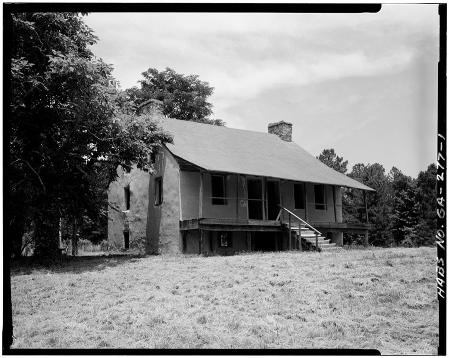
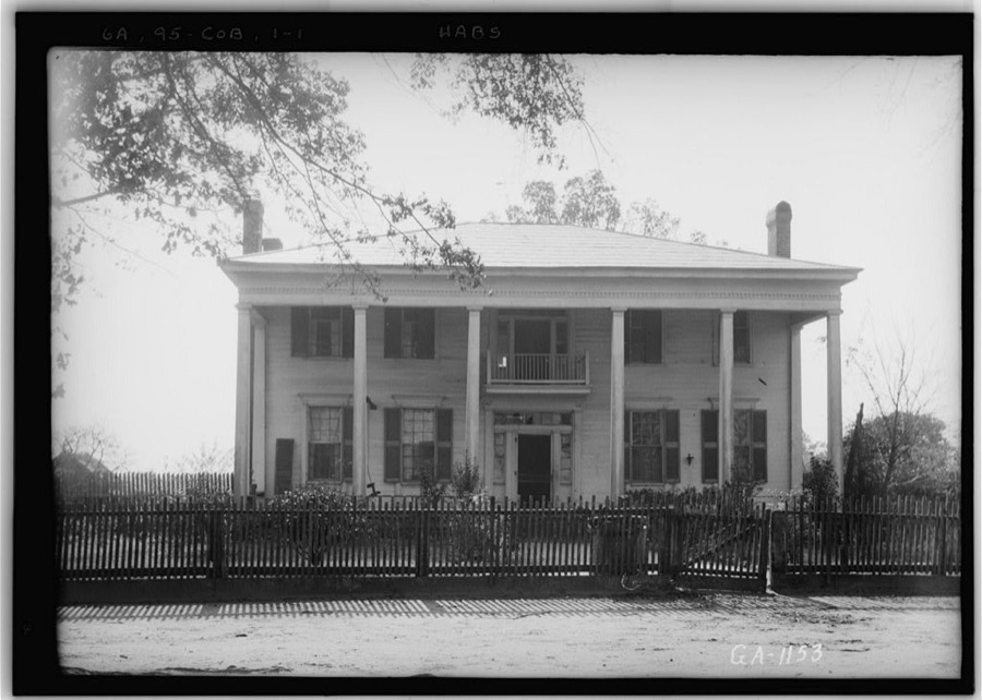
Every property in this county listed on the National Register of Historic Places, with the year it was listed and the federal nomination document.
| Photograph | Property | Type | Listed | Reference |
|---|---|---|---|---|
| Boneville Historic District | district | 2000 | 00000072 | |
| Bowdre-Rees-Knox House | building | 1979 | 79003109 | |
| Thomas Carr District | district | 1975 | 75002059 | |
 | James L. Hardaway House | building | 1993 | 93000942 |
| Hayes Line Historic District | district | 2000 | 00000106 | |
 | Hickory Hill | building | 1979 | 79003110 |
| Hillman-Bowden House | building | 2002 | 02001259 | |
| John Moore Lazenby House | building | 2013 | 13000241 | |
| McNeill House | building | 1992 | 92001637 | |
 | Old Rock House | building | 1970 | 70000841 |
| Pine Top Farm | district | 1996 | 96000582 | |
| Sweetwater Inn | building | 1985 | 85000938 | |
| Thomson Commercial Historic District | district | 2025 | 89000413 | |
 | Usry House | building | 1974 | 74002182 |
 | Thomas E. Watson House | building | 1976 | 76002144 |
| Wrightsboro Historic District | district | 1998 | 98000701 |
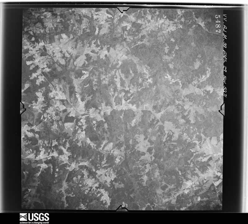
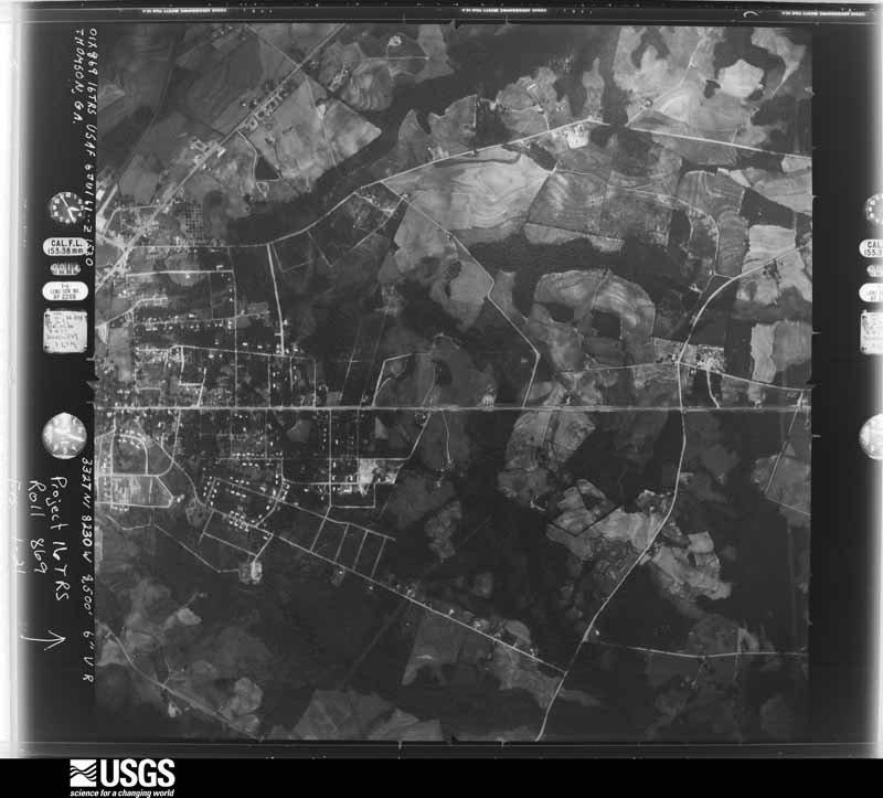
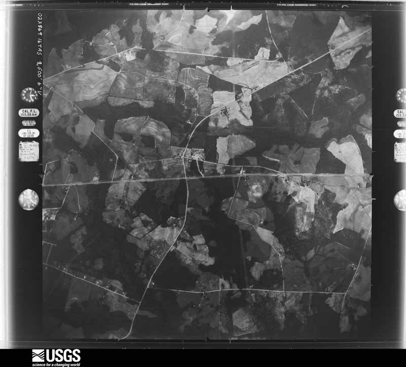
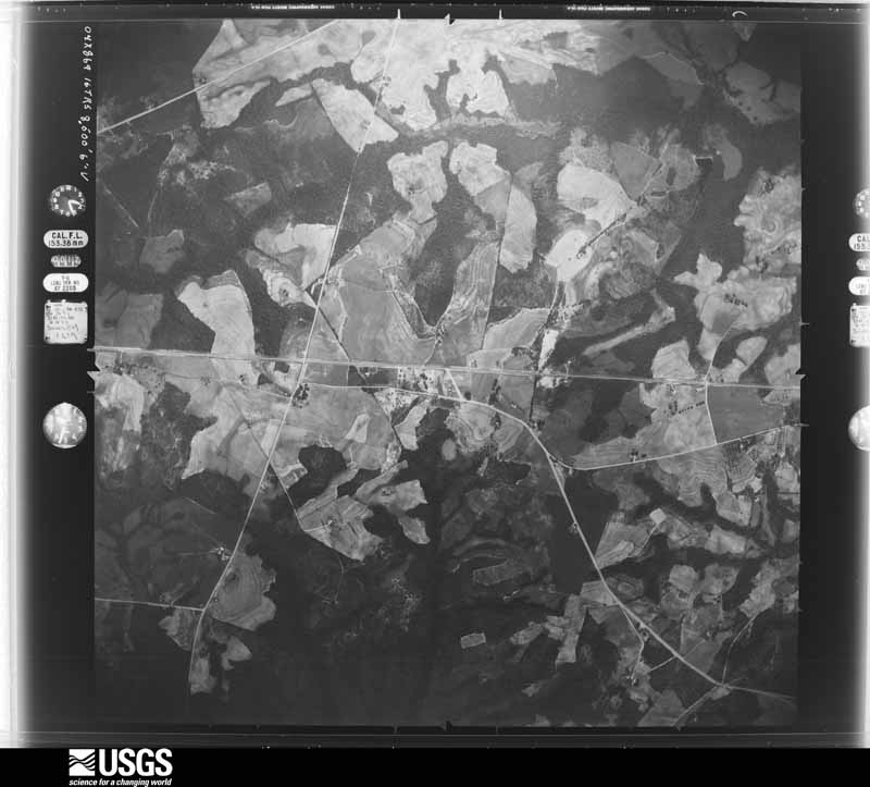
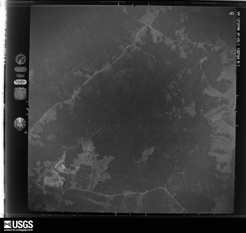
Flown by the U.S. Geological Survey between 1937 and 1989, the Aerial Photo Single Frames collection is the definitive mid-century view of the land: fields, roads and rivers as the camera saw them. The Survey holds 576 frames inside the rectangle that bounds this county; the 27 frames below were taken over the county itself, chosen across the decades of flights (at most four a year from that rectangle), so one flight cannot crowd out the rest. The full set is free to browse and download at EarthExplorer under the dataset Aerial Photo Single Frames.








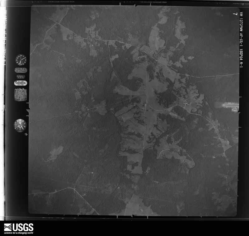
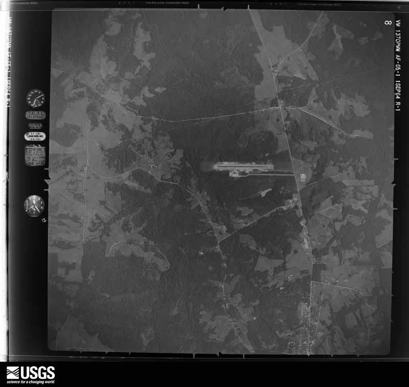

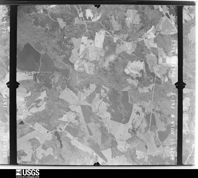






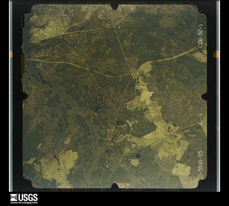
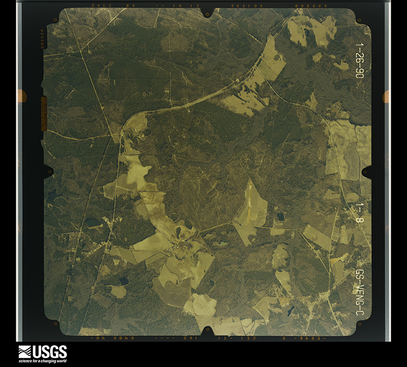
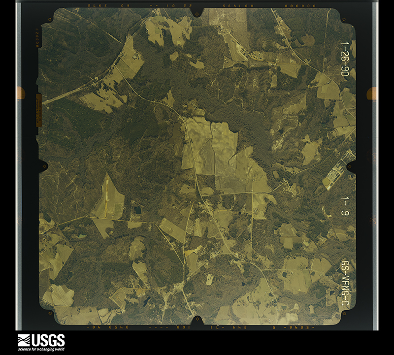
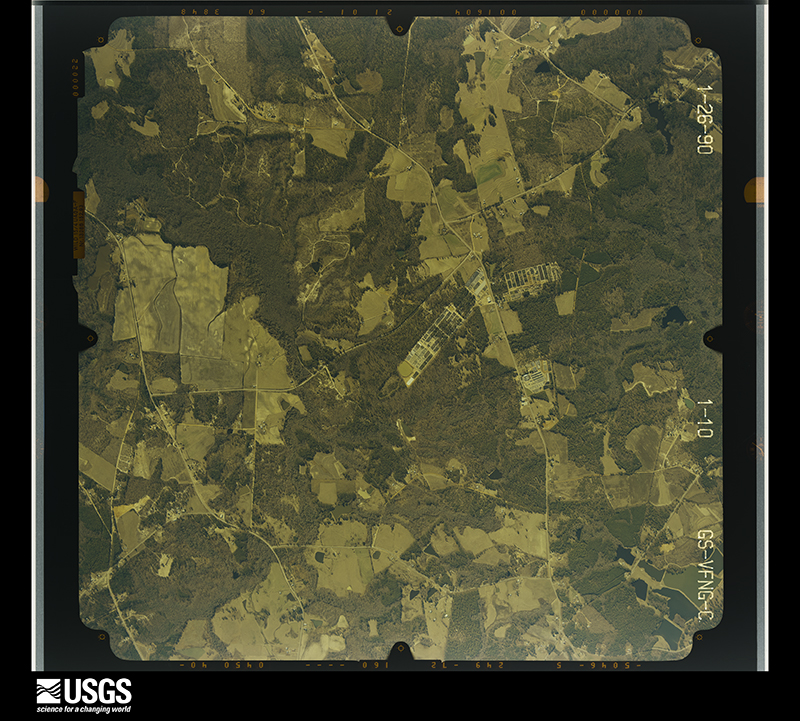
The thermometers that kept this county's weather, and the gages that measured the flow of its streams, as the federal records hold them. The extremes below are measured values from those records, not estimates.
Who lived here in 1950, one enumeration district at a time, as the Census Bureau described each district. Each row opens its official National Archives result, with Population Schedules and ED Maps available there.
Every wildfire the federal occurrence database records inside this county: 1,057 of them, burning about 2,576 acres. 36 started naturally and 91 were recorded as arson. Each settlement page carries the fires within five miles of it.
| Reported cause | Fires |
|---|---|
| Debris and open burning | 631 |
| Smoking | 103 |
| Arson/incendiarism | 91 |
| Missing data/not specified/undetermined | 77 |
| Equipment and vehicle use | 53 |
| Misuse of fire by a minor | 40 |
| Natural | 36 |
| Recreation and ceremony | 24 |
| Railroad operations and maintenance | 2 |
The five largest, by the area the report gives. Two of them were set deliberately.
| Date | Cause | Size | Reported by | Name on the report |
|---|---|---|---|---|
| 26 March 2008 | Arson/incendiarism | 191 acres | Georgia Forestry Commission | not named |
| 12 April 2014 | Debris and open burning | 98 acres | Georgia Forestry Commission | FY2014-COLUMBIA-010 |
| 31 March 2006 | Debris and open burning | 81 acres | Georgia Forestry Commission | not named |
| 11 February 2009 | Smoking | 59 acres | Georgia Forestry Commission | not named |
| 17 March 2006 | Arson/incendiarism | 56 acres | Georgia Forestry Commission | not named |
| 20 June 1998 | Debris and open burning | 49 acres | Georgia Forestry Commission | not named |
| 17 March 2004 | Debris and open burning | 41 acres | Georgia Forestry Commission | not named |
| 11 September 2011 | Debris and open burning | 40 acres | Georgia Forestry Commission | FY2012-MCDUFFIE-009 |
Every settlement page carries the fires within five miles of it - see the settlement index below.
The NOAA Storm Events Database holds 151 reports for this county, causing 3 deaths, 16 injuries and about $3,169,600 in recorded property damage. Each settlement page carries the reports that name it.
| Kind of event | Reports |
|---|---|
| Thunderstorm Wind | 95 |
| Hail | 41 |
| Tornado | 8 |
| Flash Flood | 4 |
| Lightning | 2 |
| Heavy Rain | 1 |
The most serious of them, by death, then injury, then recorded damage. The accounts are quoted exactly as the forecast office filed them.
| When | Event | Place named | Harm | What the report says |
|---|---|---|---|---|
| May 1955 | Tornado (F0) | not stated | 3 killed, $2,500 | no account filed |
| July 2012 | Hail | Dearing | 15 hurt, $10,000 | SKYWARN spotter reported golfball size hail partially covering the ground. |
| July 1997 | Lightning | Thomson | 1 hurt, $8,000 | Lightning struck a home and caused minor injuries to one occupant. |
| April 1997 | Thunderstorm Wind | Thomson | $2,750,000 | no account filed |
| April 2009 | Tornado (EF0) | Boneville | $72,000 | Dispatch reported trees down, some on vehicles, on Moose Club road. NWS damage survey also found and minor damage to several homes. |
| May 1995 | Thunderstorm Wind | Thomson | $25,000 | Thunderstorm winds pulled a tin roof off of a Mr. Muffler and also knocked down several large tree limbs. |
| April 2011 | Thunderstorm Wind | Thomson | $24,000 | Sheriff reported numerous trees and powerlines down across McDuffie County. |
| July 2010 | Thunderstorm Wind | Thomson | $24,000 | Sheriff reported trees down in Thomson, one was on a car that did moderate damage to it. |
| February 2012 | Thunderstorm Wind | Dearing | $20,000 | Sheriff reported numerous trees down across southern McDuffie county. |
| January 2010 | Flash Flood | Boneville | $20,000 | Sheriff reported flooding at apartment complex with up to a foot of water in several apartments. |
| June 2011 | Thunderstorm Wind | Thomson | $18,000 | Sheriff reported trees and powerlines down county wide. |
| July 2012 | Hail | Thomson | $15,000 | Half dollar size hail shredded leaves and left several dents on cars. |
| October 2011 | Thunderstorm Wind | Thomson | $15,000 | WRDW reported a tree down on a mobile home near Thomson. |
| August 2015 | Thunderstorm Wind | Thmson Mcduffee Arpt | $12,000 | Sheriff reported trees and powerlines down along Stagecoach Road. |
| August 2015 | Thunderstorm Wind | Thmson Mcduffee Arpt | $12,000 | Sheriff reported trees and powerlines down along Hwy 43. |
| May 2002 | Thunderstorm Wind | Thomson | $12,000 | Sheriff reported trees down on cars. |
| January 2000 | Thunderstorm Wind | Thomson | $12,000 | Sheriff reported a few trees down in Raysville. One fell on a car and totalled it. |
| July 2012 | Hail | Thomson | $10,000 | Public reported half dollar size hail partially covering the ground. |
| September 2008 | Flash Flood | Thomson | $10,000 | DOT reported secondary dirt roads washed out from flash flooding that will have to be re-excavated. |
| June 2015 | Thunderstorm Wind | Dearing | $8,000 | Sheriff reported trees and powerlines down near Dearing. |
| June 2010 | Thunderstorm Wind | Thomson | $8,000 | Sheriff reported trees down on Wrightsboro road and Harrison road. |
| April 2009 | Thunderstorm Wind | Boneville | $8,000 | McDuffie County paper reported a couple of trees down and a mobile home moved off the foundation by several feet on May road. |
| July 2013 | Thunderstorm Wind | Dearing | $6,000 | Sheriff reported trees and powerlines down along Hobbs Mill Road in Dearing. |
| July 2010 | Thunderstorm Wind | Boneville | $6,000 | Jefferson Electric reported trees and large limbs down on powerlines in the vicinity of Happy Valley and Fort Creek roads. |
| October 1994 | Thunderstorm Wind | not stated | $5,000 | Four inches of rain combined with gusty winds to produce waves which caused $1000 of damage to boats at the Raysville Marina. |
| May 1995 | Hail | Shell Bluff | $5,000 | no account filed |
| August 2015 | Thunderstorm Wind | Thmson Mcduffee Arpt | $4,000 | Public reported trees down along the Lincolnton Highway and Fish Dam Road. |
| June 2015 | Thunderstorm Wind | Thomson | $4,000 | Sheriff reported several trees down and 1 inch hail. |
| August 2014 | Thunderstorm Wind | Thmson Mcduffee Arpt | $4,000 | Sheriff reported trees down on Lincolnton Hwy and Washington Road. Several accidents on I-20 as well. |
| April 2013 | Thunderstorm Wind | Dearing | $4,000 | McDuffie dispatch reported several trees down in Darning heading toward Harlem. |
| November 2010 | Thunderstorm Wind | Thomson | $4,000 | Sheriff reported trees and powerlines down on Central road. |
| August 2009 | Thunderstorm Wind | Thmson Mcduffee Arpt | $4,000 | DOT reported trees down on Stagecoach and MacElroy roads. |
| August 2015 | Thunderstorm Wind | Dearing | $3,000 | Utility company and public reported large branches and power lines down south of Dearing near the county line. Power was out for about 3 hours. |
| June 2015 | Thunderstorm Wind | Dearing | $3,000 | McDuffie County DOT reported several trees down along Wellmaker Road near Dearing. |
| July 2013 | Thunderstorm Wind | Boneville | $3,000 | Sheriff reported trees down along Quail Farm Road. |
| June 2011 | Thunderstorm Wind | Boneville | $3,000 | Public reported trees down on Hwy 78 southeast of Thomson. |
| February 1973 | Tornado (F1) | not stated | $2,500 | no account filed |
| October 2014 | Thunderstorm Wind | Wrightsboro | $2,000 | SKYWARN spotter driving along I-20 NNE of Thomson reported a few trees down along the interstate and that intense winds knocked down the magnetic antenna mount on his car. |
| June 2011 | Thunderstorm Wind | Boneville | $2,000 | Sheriff reported a tree blocking Wire road. A few others were down along the side of the road. |
| June 2011 | Thunderstorm Wind | Thomson | $2,000 | Sheriff reported a couple of trees down along Mt. Pleasant Road in Thomson. |
| June 2011 | Thunderstorm Wind | Thmson Mcduffee Arpt | $2,000 | Public reported a few trees down along Hwy 150 near Fish Dam road. |
| June 2011 | Thunderstorm Wind | Thomson | $2,000 | WRDW reported several trees down in Thomson. |
| August 2009 | Thunderstorm Wind | Thmson Mcduffee Arpt | $2,000 | Chevron gas station on hwy 78 at I-20 reported trees down along the highway. |
| April 2009 | Thunderstorm Wind | Boneville | $1,000 | Paper reported a mobile home was moved 2 feet off its foundation. |
| February 2024 | Thunderstorm Wind | Thmson Mcduffee Arpt | $100 | AWOS unit at Thomson McDuffie Co Airport measured a peak wind gust of 49 mph. |
| March 2023 | Hail | Thomson | $100 | McDuffie Co EM reported hail, smaller than dime size, at the EM office in Thomson. |
| June 2023 | Hail | Boneville | $100 | Trained spotter report, via social media, of pea size hail on Quail Farm Rd. Time estimated. |
| July 2023 | Thunderstorm Wind | Thmson Mcduffee Arpt | $100 | AWOS at Thomson McDuffie Co Airport measured a wind gust of 49 mph. |
| August 2021 | Thunderstorm Wind | Thmson Mcduffee Arpt | $100 | AWOS unit at Thomson-McDuffie Co Airport reported a wind gust of 45 knots (52 mph) at an estimated time of around 1418-1420 EDT (1318-1320 EST). |
| June 2020 | Thunderstorm Wind | Thmson Mcduffee Arpt | $100 | AWOS unit at Thomson McDuffie Co Airport measured a peak wind gust of 54 mph at 1855 EDT (1755 EST). |
| March 2026 | Thunderstorm Wind | Boneville | - | Trained spotter relayed pictures via Facebook of downed trees off Quail Farm Rd near Brier Creek. Time estimated by radar. |
| March 2026 | Thunderstorm Wind | Thomson | - | McDuffie County dispatch reported numerous trees and several power lines down throughout the county. |
| March 2026 | Thunderstorm Wind | Thmson Mcduffee Arpt | - | McDuffie County dispatch reported trees down along 1-20 near mile marker 169. Time estimated by radar. |
| March 2025 | Thunderstorm Wind | Thomson | - | McDuffie County dispatch reported trees down on Cobbham Road. |
| June 2025 | Thunderstorm Wind | Boneville | - | McDuffie County dispatch reported a tree down at 4260 Happy Valley Rd. Time estimated by radar. |
| May 2024 | Thunderstorm Wind | Thomson | - | Pictures and video show tree damage including a downed tree at this location due to strong winds. Time estimated by radar. |
| May 2024 | Thunderstorm Wind | Dearing | - | Columbia County EM relayed several reports of damage in the area. Approximately 25-30 downed trees were reported on County Line Road between Hinton Wilson Road and Sawdust Road. In addition, a tree fell on a residential structure on Madelyn Drive and a power line was downed on Appling-Harlem Highway near the Amazon building. |
| July 2024 | Flash Flood | Thmson Mcduffee Arpt | - | McDuffie County Dispatch reported water covering Lincolnton Hwy at Mary Boyd Rd. |
| January 2023 | Tornado (EF1) | Thomson | - | A National Weather Service survey team confirmed a tornado touched down in Warren County GA (see Storm Data, Georgia, North and Central) where it produced EF-1 damage. The tornado continued moving to the NE and crossed into McDuffie County GA. While in McDuffie Co, the tornado also produced EF-1 damage,|with peak winds of 110 mph. The tornado dissipated west of Thomson in western McDuffie Co. The total tornado path was 16.42 miles, with about 14.4 miles in Warren Co and 2.02 miles in McDuffie Co. ||Just prior to crossing into McDuffie Co, the tornado strengthened to EF-1 intensity as it approached Mesena Road and continued northeast across the county line to Foster Sprouse Road. In this area, a couple of homes had roof and fascia damage, a metal work shed and outdoor kitchen were destroyed, and a swath of large and healthy pine trees were snapped and uprooted. As the tornado crossed Foster Sprouse Road, it continued to snap and uproot trees, one of which fell on a house. The tornado then weakened as it crossed Union Church Road and dissipated before reaching West Bypass. |
| July 2023 | Thunderstorm Wind | Wrightsboro | - | A tree was downed on Interstate 20 westbound near mile marker 171. Time estimated. |
The Survey's mineral resources record lists 12 workings inside this county. 1 still produces and 11 are closed or unrecorded. Each settlement page carries the workings within five miles of it.
| Commodity | Workings |
|---|---|
| Gold | 8 |
| Lead | 4 |
| Sand and Gravel, Construction | 2 |
| Silver | 2 |
| Kaolin | 2 |
The least common of them first, because a county's hundredth gravel pit says nothing its first ten did not.
| Where | Site | Commodity | Status | Recorded |
|---|---|---|---|---|
| Columbia Mine | Gold, Silver | Past Producer | Vein | |
| D.J. James Pit | Sand and Gravel, Construction | Occurrence | ||
| Georgia Kaolin Pit | Kaolin | Occurrence | ||
| May's Pit | Sand and Gravel, Construction | Occurrence | Sedimentary | |
| Parks Mine | Gold, Silver | Past Producer | Vein | |
| Poss Mine | Kaolin | Producer | ||
| Landers | Gold, Lead | Prospect | Vein | |
| Porter | Gold, Lead | Prospect | Vein | |
| Tatham | Gold, Lead | Prospect | Vein | |
| Woodall | Gold, Lead | Prospect | Vein | |
| Columbia Gold Mine | Gold | Past Producer | ||
| Hamilton Gold Mine | Gold | Past Producer |
Named settlements recorded in the Geographic Names Information System, each with the topographic sheets covering it. Villages, hamlets and abandoned places alike. Each is shown with the nearest named watercourse or landform and the survey quadrangle it falls on. The 1 place that was also surveyed for fire insurance comes first, with the number of atlases and photographs held for them.
Thomson census division · 30824 · Thomson West quadrangle
10 sheets, 1953 to 1988
Fire insurance: 7 atlases
Dearing census division · 30808 · On Pegaham Branch · Thomson East quadrangle
15 sheets, 1922 to 1988
Thomson census division · 30824 · On Broom Creek · Wrightsboro quadrangle
14 sheets, 1906 to 1988
No longer a settlement
Dearing census division · 30808 · On Dearing Branch · Thomson East quadrangle
15 sheets, 1922 to 1988
Thomson census division · 30824 · On Little Germany Creek · Winfield quadrangle
20 sheets, 1892 to 1988
Thomson census division · 30824 · On Sweetwater Creek · Bowdens Pond quadrangle
15 sheets, 1922 to 1988
Dearing census division · 30808 · On Dearing Branch · Thomson East quadrangle
15 sheets, 1922 to 1988
Thomson census division · 30824 · On Hart Creek · Winfield quadrangle
20 sheets, 1892 to 1988
Thomson census division · 30802 · Winfield quadrangle
20 sheets, 1892 to 1988
No longer a settlement
Thomson census division · 30824 · Winfield quadrangle
20 sheets, 1892 to 1988
No longer a settlement
Thomson census division · 30824 · Wrightsboro quadrangle
14 sheets, 1906 to 1988
No longer a settlement
Thomson census division · 30824 · On Little Creek · Wrightsboro quadrangle
14 sheets, 1906 to 1988
Thomson census division · 30824 · On Little Creek · Wrightsboro quadrangle
14 sheets, 1906 to 1988
The vanished settlements of McDuffie County: the places named above that are no longer on the map.
10 topographic sheets and 7 fire insurance atlases, 1895 to 1949
The complete index, with nothing left out. Each of these is a separate record with its own page: a federal survey report, or the case file that argued a property on to the National Register. Both are public domain and reproduced word for word.
The vanished settlements of McDuffie County, the places these records name that are no longer on the map.