 Block
From the record
1 National Register listing published here.
Sources: the National Register database, National Park Service
14 topographic sheets and 4 fire insurance atlases across 1 place.
1 National Register listing published here.
Sources: the National Register database, National Park Service
Taken for the Office of War Information and the Farm Security Administration, who photographed the country between 1935 and 1944. Works of United States government photographers, with no known restriction on use. Each opens its catalogue record.
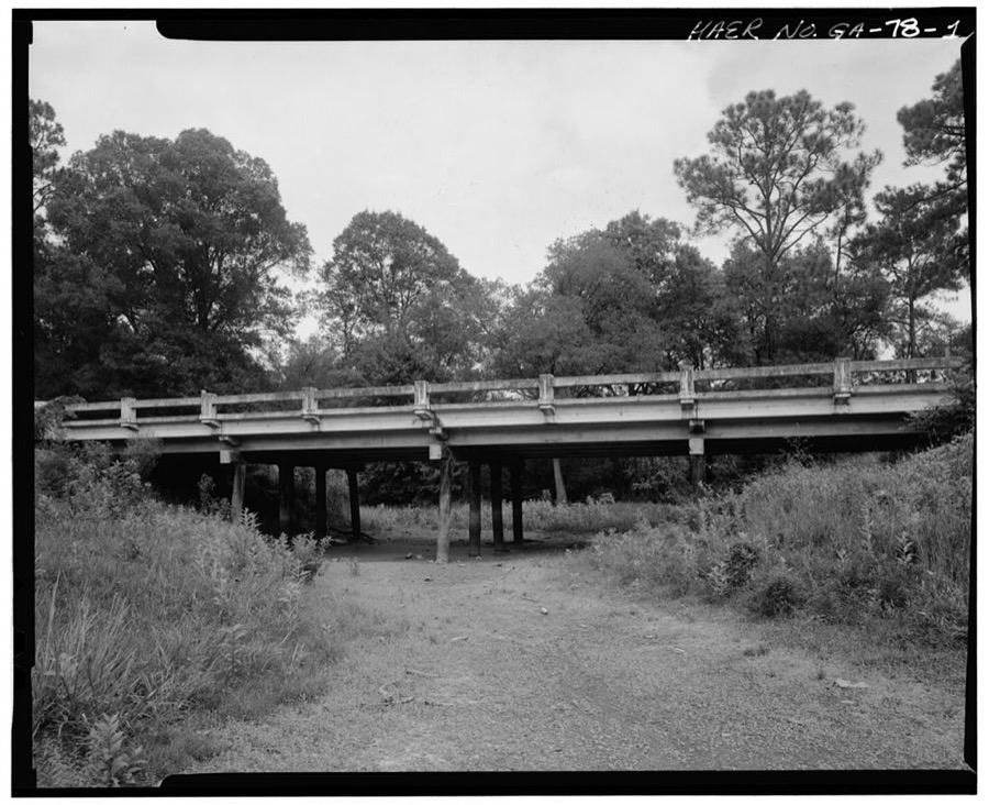
Every property in this county listed on the National Register of Historic Places, with the year it was listed and the federal nomination document.
| Photograph | Property | Type | Listed | Reference |
|---|---|---|---|---|
 | Colquitt Town Square Historic District | district | 1983 | 83000237 |
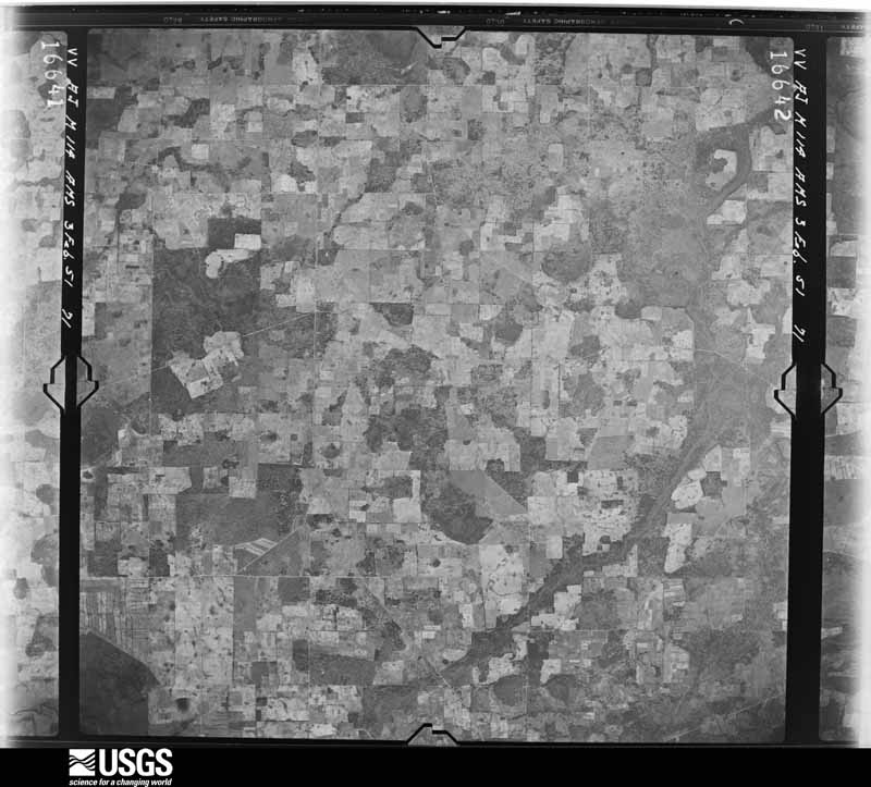
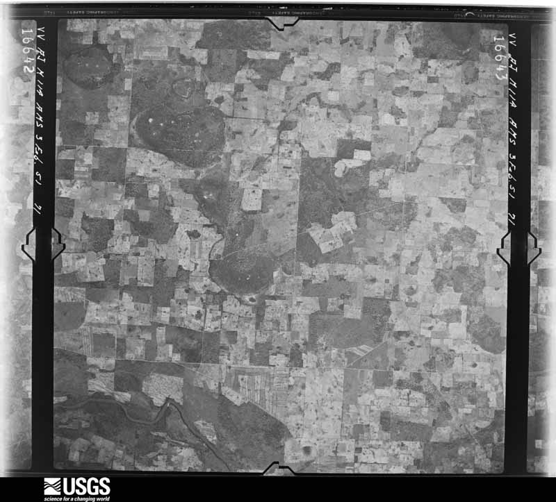
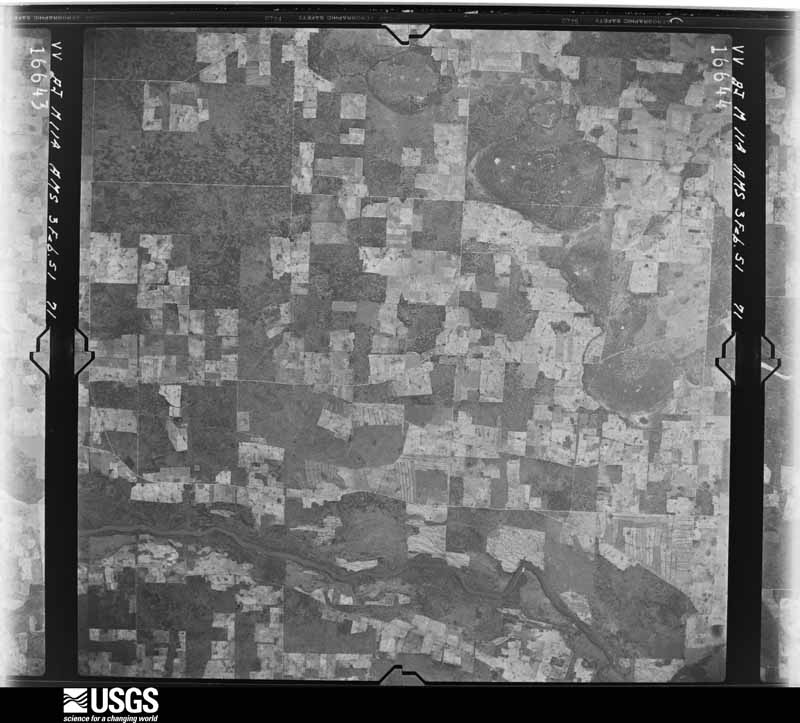
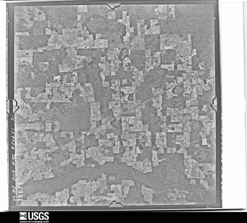
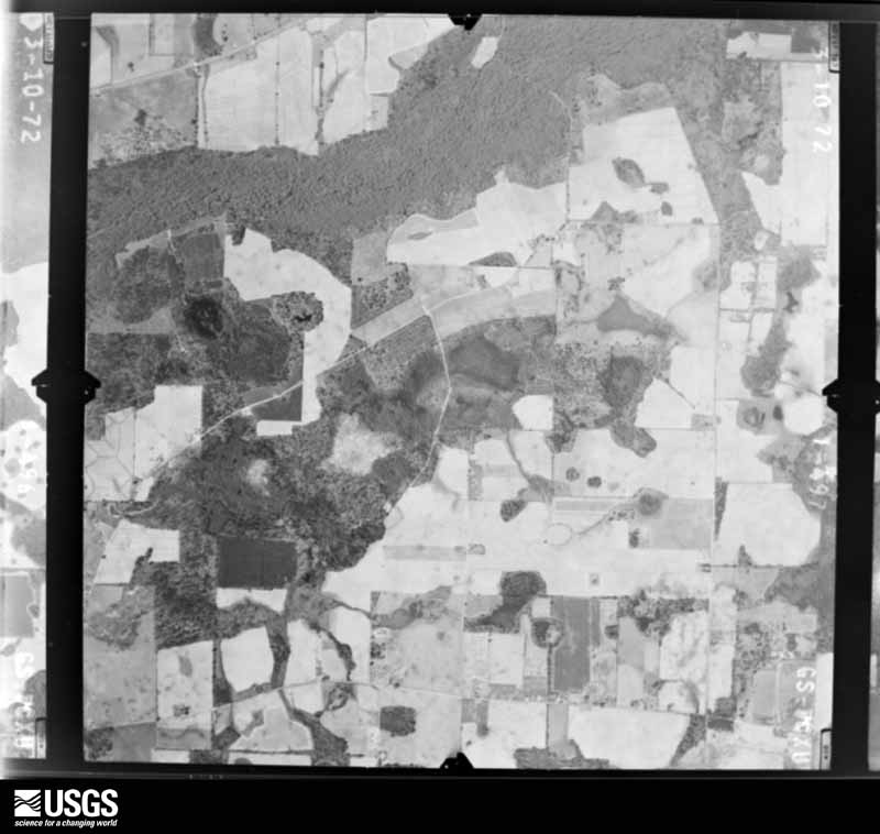
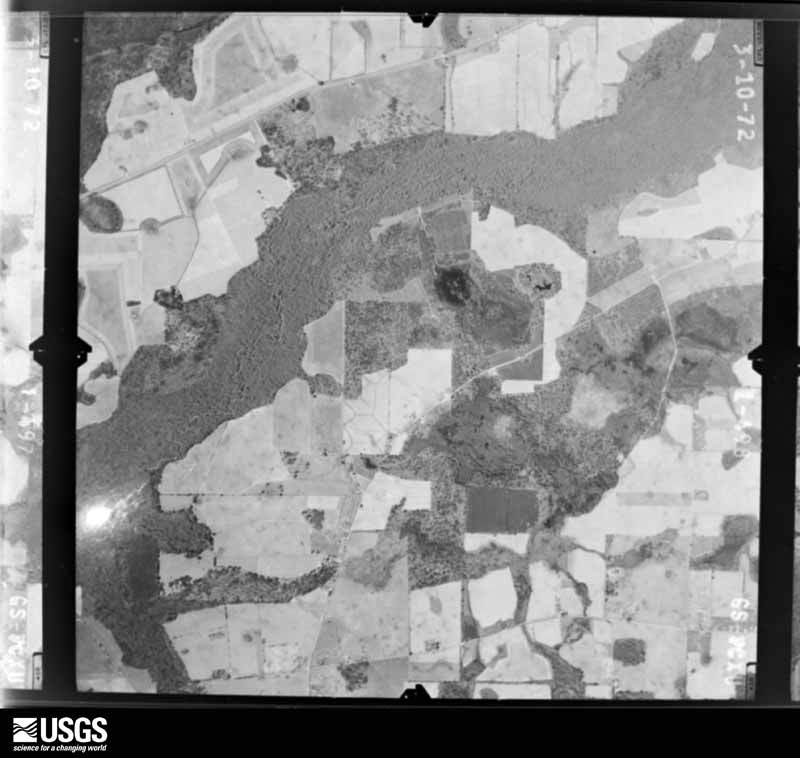
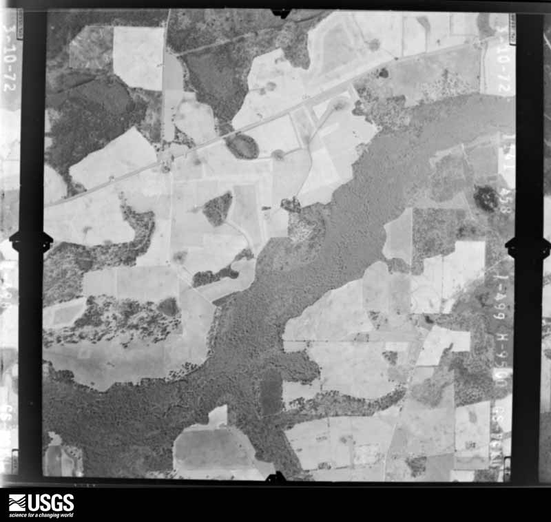
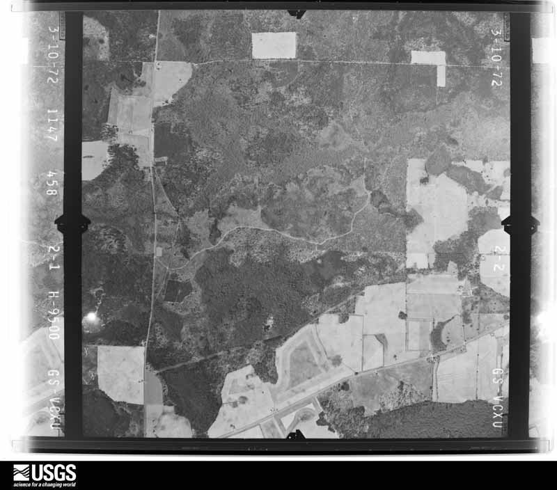
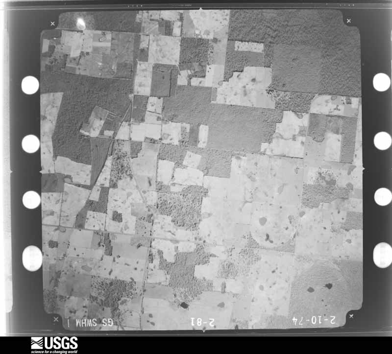
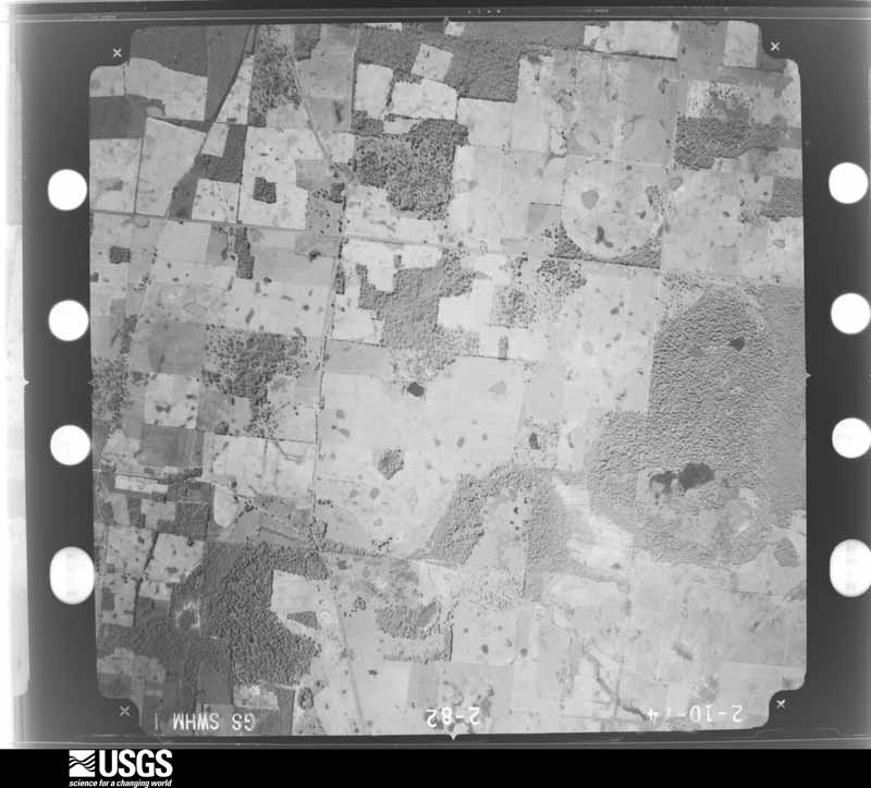
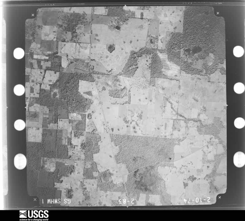
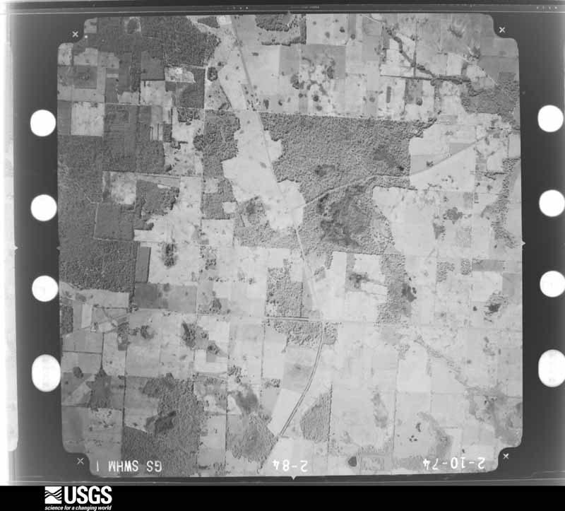
Flown by the U.S. Geological Survey between 1937 and 1989, the Aerial Photo Single Frames collection is the definitive mid-century view of the land: fields, roads and rivers as the camera saw them. The Survey holds 209 frames inside the rectangle that bounds this county; the 12 frames below were taken over the county itself, chosen across the decades of flights (at most four a year from that rectangle), so one flight cannot crowd out the rest. The full set is free to browse and download at EarthExplorer under the dataset Aerial Photo Single Frames.
The thermometers that kept this county's weather, and the gages that measured the flow of its streams, as the federal records hold them. The extremes below are measured values from those records, not estimates.
Who lived here in 1950, one enumeration district at a time, as the Census Bureau described each district. Each row opens its official National Archives result, with Population Schedules and ED Maps available there.
Every wildfire the federal occurrence database records inside this county: 872 of them, burning about 4,933 acres. 33 started naturally and 68 were recorded as arson. Each settlement page carries the fires within five miles of it.
| Reported cause | Fires |
|---|---|
| Debris and open burning | 607 |
| Equipment and vehicle use | 79 |
| Arson/incendiarism | 68 |
| Smoking | 41 |
| Natural | 33 |
| Missing data/not specified/undetermined | 25 |
| Misuse of fire by a minor | 14 |
| Railroad operations and maintenance | 3 |
| Recreation and ceremony | 2 |
The five largest, by the area the report gives. None of them was recorded as arson.
| Date | Cause | Size | Reported by | Name on the report |
|---|---|---|---|---|
| 5 March 2002 | Debris and open burning | 563 acres | Georgia Forestry Commission | FY2002-MILLER-054 |
| 10 March 2000 | Debris and open burning | 290 acres | Georgia Forestry Commission | FY2000-MILLER-067 |
| 26 June 2007 | Natural | 252 acres | Georgia Forestry Commission | FREEMAN ROAD |
| 28 April 2010 | Debris and open burning | 177 acres | Georgia Forestry Commission | FY2010-MILLER-027 |
| 3 July 2011 | Natural | 145 acres | Georgia Forestry Commission | FY2012-MILLER-002 |
| 20 March 2012 | Debris and open burning | 143 acres | Georgia Forestry Commission | FY2012-MILLER-023 |
| 24 January 2018 | Debris and open burning | 121 acres | Georgia Forestry Commission | FY2018MILLER009 |
| 5 May 2015 | Debris and open burning | 91 acres | Georgia Forestry Commission | FY2015-MILLER-019 |
Every settlement page carries the fires within five miles of it - see the settlement index below.
The NOAA Storm Events Database holds 150 reports for this county, causing 1 death, 18 injuries and about $11,932,500 in recorded property damage. Each settlement page carries the reports that name it.
| Kind of event | Reports |
|---|---|
| Thunderstorm Wind | 104 |
| Hail | 18 |
| Tornado | 13 |
| Flash Flood | 11 |
| Funnel Cloud | 1 |
| Heavy Rain | 1 |
| Flood | 1 |
| Lightning | 1 |
The most serious of them, by death, then injury, then recorded damage. The accounts are quoted exactly as the forecast office filed them.
| When | Event | Place named | Harm | What the report says |
|---|---|---|---|---|
| October 1955 | Tornado (F0) | not stated | 1 killed, 2 hurt, $250 | no account filed |
| March 2005 | Tornado (F3) | Enterprise | 10 hurt, $5,500,000 | The tornado, which crossed from Seminole County into Miller County, quickly intensified as it paralleled Highway 91. It damaged nearly 100 homes and destroyed 25 others along its path. It struck a 120+ acre farm on Nobles Road, destroying several storage buildings, welding shop, farrowing house and implement shed, and heavily damaging the family residence. Several irrigation pivots were damaged or destroyed. Many trees and power lines were down. Ten people were injured, two of those critically. The tornado weakened as it approached County Road 45. It continued its northeastward trek across County Road 310 and U.S. Highway 27, then dissipated about three miles southeast of Colquitt. The storm survey was conducted by the NWS Tallahassee WCM and SOO. |
| September 1998 | Tornado (F1) | Colquitt | 2 hurt, $750,000 | A strong F1 tornado destroyed a doublewide trailer off Cooktown Rd about 12 miles east of Colquitt.Two of the three occupants were critically injured. The tornado moved north and struck a neighboring farm and ripped roofs off outbuildings, twisted sheet metal, and destroyed a grain bin and farm equipment. |
| March 2001 | Tornado (F1) | Boykin | 2 hurt, $500,000 | An F1 tornado touched down just west of U.S. Highway 27 in southern Miller County and tracked east to North Eldorendo Road before it disspiated. Seven mobile homes were damaged. A roof was torn off a frame house. One frame house collapsed. Several sheds were damaged. One single-wide trailer was destroyed. An irrigation system was damaged. Storm damage surveyed by the NWS Tallahassee WCM. |
| April 1982 | Tornado (F2) | not stated | 1 hurt, $2,500,000 | no account filed |
| March 2019 | Tornado (EF1) | Boykin | 1 hurt, $200,000 | An EF1 tornado with maximum winds of 100 mph initially touched down west of US-27 in Miller County near Brinson Road. Damage west of US-27 included a center pivot irrigation system overturned. One home in the area was blown off cinder blocks.|Another home had roof damage where a corner of the roof was peeled off. A portion of the wall of this home was blown out. The tornado crossed US-27 and east of the highway destroyed a small modular home. This home had tie-downs to a cinder block|foundation. The home was blown 60 ft to the south and destroyed. The occupant suffered serious injuries. As the tornado continued moving eastward, several trees were snapped or uprooted, with another pivot irrigation system overturned. The tornado lifted before Babcock Lake Road. Damage cost was estimated. |
| September 2002 | Flash Flood | Countywide | $500,000 | Up to eight inches of rain flooded several county and state roads. Many homes near Colquitt were evacuated due to rising water. 35 homes and three businesses suffered water damage, as well as the Colquitt Police Department and county courthouse. Reported by the Miller County EMA. |
| May 1994 | Thunderstorm Wind | Boykin | $500,000 | Thunderstorm winds turned over a few trailers, flattened crops, snapped several large trees and damaged a couple of buildings southwest of Boykin. |
| October 1997 | Tornado (F1) | Mayhaw | $300,000 | Several F1 tornado touchdowns in southern Miller County. Felled 24" diameter pines damaged a mobile home on Mayhaw Road. One home heavily damaged and nearby boat, camper and chicken house destroyed. Many power lines down countywide. |
| September 1998 | Thunderstorm Wind | Southwest Portion | $250,000 | Thunderstorm winds severely damaged the United Primitive Baptist Church and cemetery eight miles southwest of Colquitt. |
| January 1999 | Thunderstorm Wind | Countywide | $150,000 | Straight-line winds damaged several homes, barns, businesses, roads, and farm equipment. Significant damage was sustained near Mayhaw where a barn was scattered over a 50-acre patch and a large irrigation system was overturned. Numerous trees and power lines down. |
| September 2004 | Tornado (F0) | Boykin | $125,000 | A tornado caused minor damage to nine homes and two businesses in Colquitt. Reported by the Miller County EMA. |
| August 2008 | Flash Flood | Babcock | $100,000 | Several roads and low lying areas were flooded, including portions of State Highway 91 between Colquitt and Cooktown. |
| December 2019 | Tornado (EF1) | Harmony Church Rd/Hwy 45 | $75,000 | An EF1 tornado touched down along Phillipsburg Road north of Colquitt and moved northeastward across the northeast portions of the county before lifting just past Kelley Road. Damage to barns, farm equipment, and trees was noted and consistent with estimated winds near 110 mph. Damage cost was estimated. |
| August 2008 | Tornado (EF0) | Enterprise | $75,000 | A tornado touched down about three miles north of Enterprise. It first uprooted trees and tore the roof off a home on Mayhaw Road, then traveled norrheast where it damaged a barn and destroyed a irrigation pivot on Joe Shingler Road. |
| January 2024 | Thunderstorm Wind | Colquitt | $50,000 | A tree was blown down onto a home in Colquitt. |
| November 2015 | Tornado (EF0) | Enterprise | $50,000 | A very brief tornado touched down near Union Church Road southwest Miller county. The tornado heavily damaged a chicken coop, pulled vinyl siding off of a house, displaced a trampoline, and brought down large tree limbs. The tornado was rated EF0 with max winds around 70 mph. Damage cost was estimated. |
| June 2013 | Thunderstorm Wind | Mayhaw | $25,000 | Trees fell on a house on Mayhaw Road. Monetary damage was estimated. |
| November 2007 | Thunderstorm Wind | Enterprise | $25,000 | Two small farm sheds lost their roofs. One irrigation system was overturned along with three uprooted pecan trees. The damage occurred just north of the Seminole-Miller County line near Grady Cobb Road. |
| August 2006 | Thunderstorm Wind | Colquitt | $25,000 | A house suffered minor damage from fallen trees at the intersection of State Highway 91 and Enterprise Road. Reported by the Miller County Liberal-Colquitt. |
| April 2021 | Thunderstorm Wind | Colquitt | $20,000 | A roof partially collapsed due to high winds. |
| March 2012 | Tornado (EF0) | Jeterville | $20,000 | An NWS storm survey confirms that an EF0 briefly touched down on Cooktown Road. Damage occurred to one home with the tin roof and front porch torn off. Several pine trees were also snapped and uprooted. Maximum winds were estimated around 85 mph with a width estimated around 25 yards. The path length was estimated to be approximately 0.25-0.30 miles. Monetary damage was estimated. |
| April 2011 | Thunderstorm Wind | Colquitt | $20,000 | Trees and power lines were blown down across the county. The monetary damage figure provided is a rough estimate. |
| July 2015 | Thunderstorm Wind | Colquitt | $10,000 | There were approximately 25 trees blown down west of Colquitt with three on homes. Minor structural damage was reported to carports and barns in the area. Damage was estimated. |
| August 2014 | Thunderstorm Wind | Babcock | $10,000 | A tree was blown down onto a mobile home near Highway 27 South. |
| January 2002 | Thunderstorm Wind | Cooktown | $10,000 | A mobile home was overturned. Reported by Decatur County 911. |
| June 2011 | Thunderstorm Wind | Colquitt | $8,000 | Irrigation systems were turned over and numerous trees and power lines were blown down. The monetary damage figure provided is a rough estimate. |
| April 2020 | Lightning | Boykin | $5,000 | A lightning strike resulted in a house fire. |
| July 2018 | Thunderstorm Wind | Mayhaw | $5,000 | Numerous trees and power lines were blown down across Miller county. |
| April 2017 | Thunderstorm Wind | Colquitt | $5,000 | Several trees and power lines were blown down with a metal shed blown into the highway near Colquitt. |
| July 2016 | Thunderstorm Wind | Harmony Church Rd/Hwy 45 | $5,000 | Trees were blown down and a transformer was blown. |
| August 2013 | Thunderstorm Wind | Harmony Church Rd/Hwy 45 | $5,000 | Numerous trees and power lines were blown down across the county, including the city of Colquitt. |
| March 2012 | Thunderstorm Wind | Mayhaw | $5,000 | Scattered trees were blown down along Spring Head Road, Phillipsburg Road, Highway 91 at Big Drain Creek, and Cooktown Road. Monetary damage was estimated. |
| February 2012 | Thunderstorm Wind | Colquitt | $5,000 | Several trees and power lines were blown down. Monetary damage was estimated. |
| June 2011 | Thunderstorm Wind | Colquitt | $5,000 | Multiple trees were blown down in Colquitt. The monetary damage figure provided is a rough estimate. |
| June 2009 | Thunderstorm Wind | Harmony Church Rd/Hwy 45 | $5,000 | Several trees and power lines were down. Scattered power outages were reported. |
| June 2004 | Thunderstorm Wind | Countywide | $5,000 | Numerous downed trees, with some on power lines. Power outages in Colquitt and along Mayhaw Road. Reported by the Miller County EMA. |
| June 2004 | Thunderstorm Wind | Colquitt | $5,000 | A mobile home's roof was blown off. Reported by the Miller County EMA. |
| July 2002 | Thunderstorm Wind | Mayhaw | $5,000 | A roof was blown off a shelter. Reported by the Miller County Sheriff. |
| December 2000 | Thunderstorm Wind | Northwest Portion | $5,000 | Trees and power lines down. Reported by the Miller County EMA. |
| March 1993 | Thunderstorm Wind | Boykin | $5,000 | Several large tree limbs ranging from 6 to 7 inches in diameter were downed from thunderstorm winds. |
| May 1997 | Thunderstorm Wind | Colquitt | $5,000 | no account filed |
| June 2025 | Thunderstorm Wind | Colquitt | $4,000 | Several trees and power lines were down in Miller County. |
| June 2023 | Thunderstorm Wind | Colquitt | $4,000 | Trees and power lines were blown down across Miller county. |
| January 2013 | Thunderstorm Wind | Mayhaw | $4,000 | Numerous trees and power lines were blown down across the county. Monetary damage was estimated. |
| March 2026 | Thunderstorm Wind | Colquitt | $3,000 | Numerous trees and power lines were blown down across the county. |
| July 2018 | Thunderstorm Wind | Enterprise | $3,000 | Trees and power lines were blown down across the county. |
| April 2015 | Thunderstorm Wind | Colquitt | $3,000 | Several trees and power lines were blown down. |
| July 2015 | Thunderstorm Wind | Mayhaw | $3,000 | Power lines were blown down in western Miller county. |
| January 2026 | Thunderstorm Wind | Colquitt | $2,000 | Trees and power lines were blown down along Griggs Lucille Road. |
| January 2026 | Thunderstorm Wind | Enterprise | $2,000 | Trees and power lines were blown down along Grady-Cobb Road. |
| August 2023 | Thunderstorm Wind | Colquitt | $2,000 | Trees and power lines were blown down on East Crawford Street in Colquitt. |
| April 2022 | Thunderstorm Wind | Colquitt | $2,000 | Wires were blown down in the Colquitt area. |
| March 2022 | Thunderstorm Wind | Colquitt | $2,000 | Tree limbs were broken with shingles blown off. |
| July 2018 | Thunderstorm Wind | Colquitt | $2,000 | Power lines were blown down near Highway 27 and 91. This was reported via the GA 511 website. |
| June 2014 | Thunderstorm Wind | Colquitt | $2,000 | Power lines were blown down. |
| June 2013 | Thunderstorm Wind | Mayhaw | $2,000 | Trees were blown down on Womble Road. |
| July 2012 | Thunderstorm Wind | Colquitt | $2,000 | Power lines were blown down in Colquitt. Monetary damage was estimated. |
| June 2011 | Thunderstorm Wind | Mayhaw | $2,000 | A house was damaged along Grady-Cobb Road. The monetary damage figure provided is a rough estimate. |
| March 2022 | Thunderstorm Wind | Colquitt | $1,000 | A power line was blown down in Colquitt. |
Named settlements recorded in the Geographic Names Information System, each with the topographic sheets covering it. Villages, hamlets and abandoned places alike. Each is shown with the nearest named watercourse or landform and the survey quadrangle it falls on. The 1 place that was also surveyed for fire insurance comes first, with the number of atlases and photographs held for them.
Colquitt census division · 39837 · Colquitt quadrangle
8 sheets, 1953 to 1981
Fire insurance: 4 atlases
Colquitt census division · 39837 · Donalsonville NE quadrangle
8 sheets, 1953 to 1981
No longer a settlement
Mayhaw census division · 39837 · On Cypress Creek · Donalsonville NE quadrangle
8 sheets, 1953 to 1981
No longer a settlement
Mayhaw census division · 39845 · Donalsonville East quadrangle
8 sheets, 1953 to 1981
No longer a settlement
Mayhaw census division · 39837 · On Flat Creek · Donalsonville NE quadrangle
8 sheets, 1953 to 1981
No longer a settlement
Colquitt census division · 39837 · Colquitt quadrangle
8 sheets, 1953 to 1981
No longer a settlement
Mayhaw census division · 39837 · Donalsonville East quadrangle
8 sheets, 1953 to 1981
No longer a settlement
Mayhaw census division · 39837 · On Big Drain · Boykin quadrangle
8 sheets, 1953 to 1981
No longer a settlement
The vanished settlements of Miller County: the places named above that are no longer on the map.
8 topographic sheets and 4 fire insurance atlases, 1906 to 1941
The complete index, with nothing left out. Each of these is a separate record with its own page: a federal survey report, or the case file that argued a property on to the National Register. Both are public domain and reproduced word for word.
The vanished settlements of Miller County, the places these records name that are no longer on the map.