 Block
From the record
9 National Register listings published here.
Sources: the National Register database, National Park Service
63 topographic sheets and 11 fire insurance atlases across 2 places.
9 National Register listings published here.
Sources: the National Register database, National Park Service
Taken for the Office of War Information and the Farm Security Administration, who photographed the country between 1935 and 1944. Works of United States government photographers, with no known restriction on use. Each opens its catalogue record.




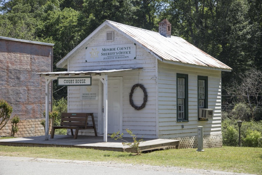

Every property in this county listed on the National Register of Historic Places, with the year it was listed and the federal nomination document.
| Photograph | Property | Type | Listed | Reference |
|---|---|---|---|---|
| Culloden Historic District | district | 1980 | 80001119 | |
 | Forsyth Commercial Historic District | district | 1983 | 83000239 |
 | Forsyth Railroad Depots and Baggage Room | building | 2013 | 13000532 |
 | Front Circle, Tift College | building | 1980 | 80001120 |
| Great Hill Place | building | 1973 | 73000633 | |
| Hil'ardin/Sharp-Hardin-Wright House | building | 1979 | 79000735 | |
 | Monroe County Courthouse | building | 1980 | 80001121 |
| Montpelier Female Institute | building | 1975 | 75000602 | |
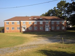 | State Teachers and Agricultural College for Negroes Women's Dormitory and Teachers' Cottage | building | 2003 | 03000475 |
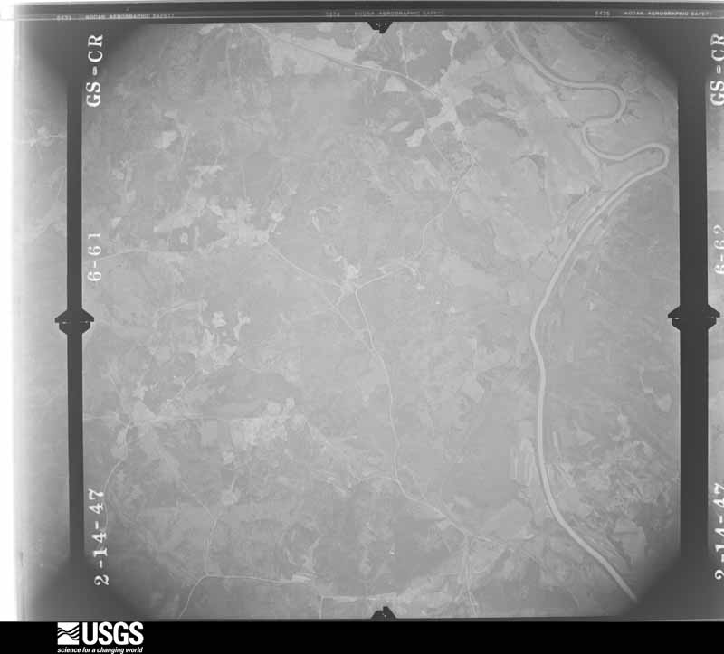
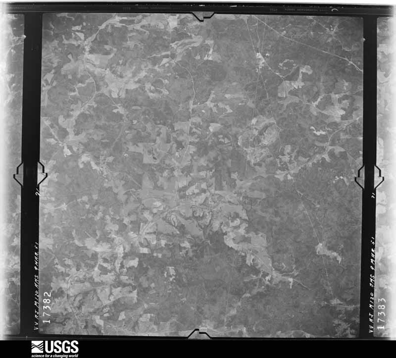
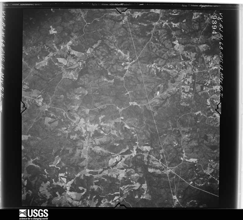
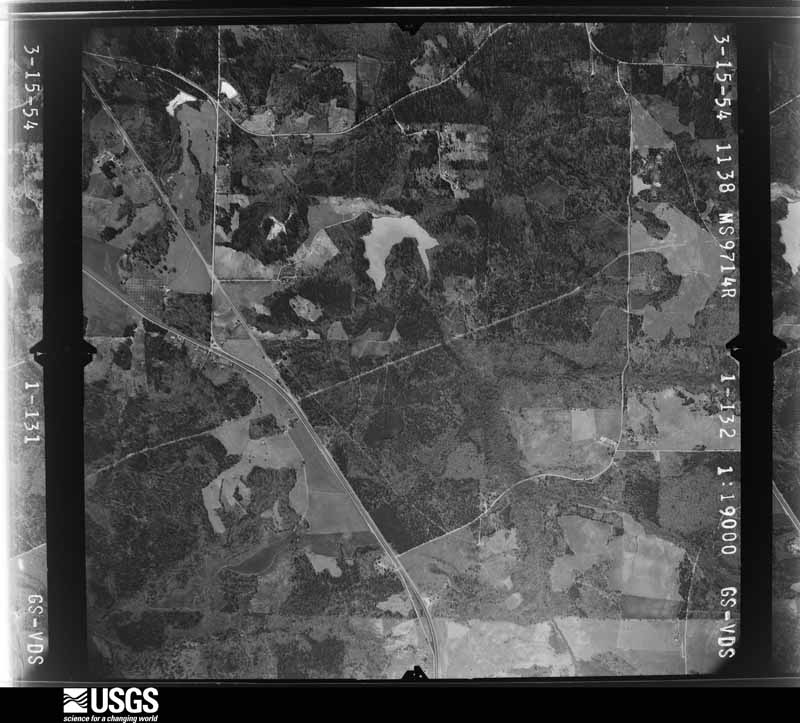
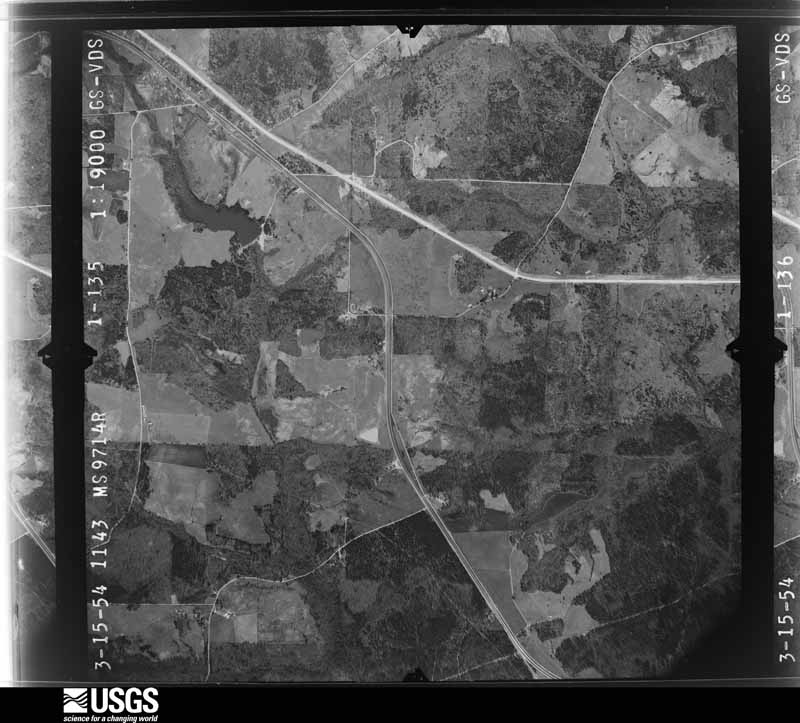
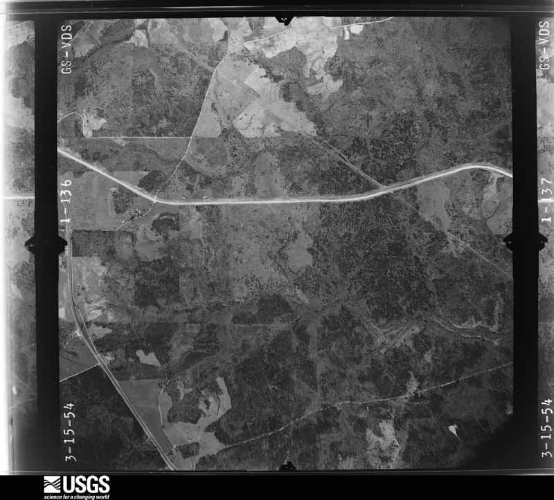
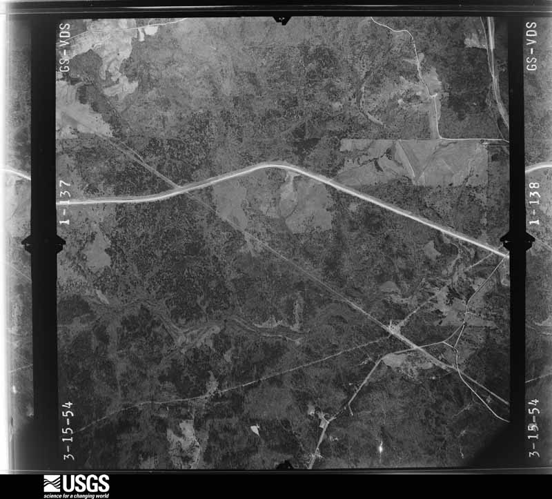
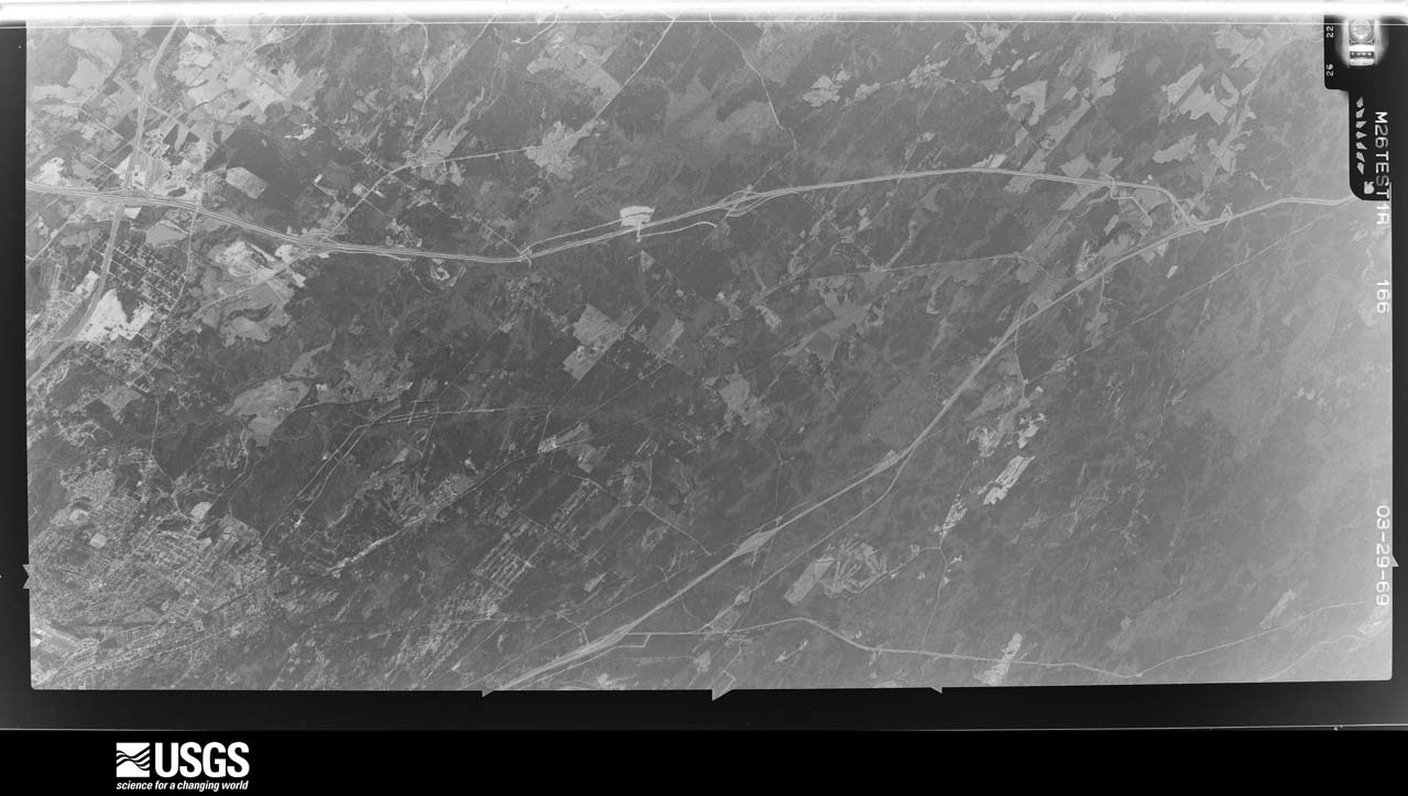
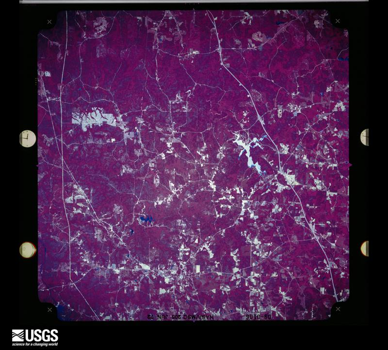
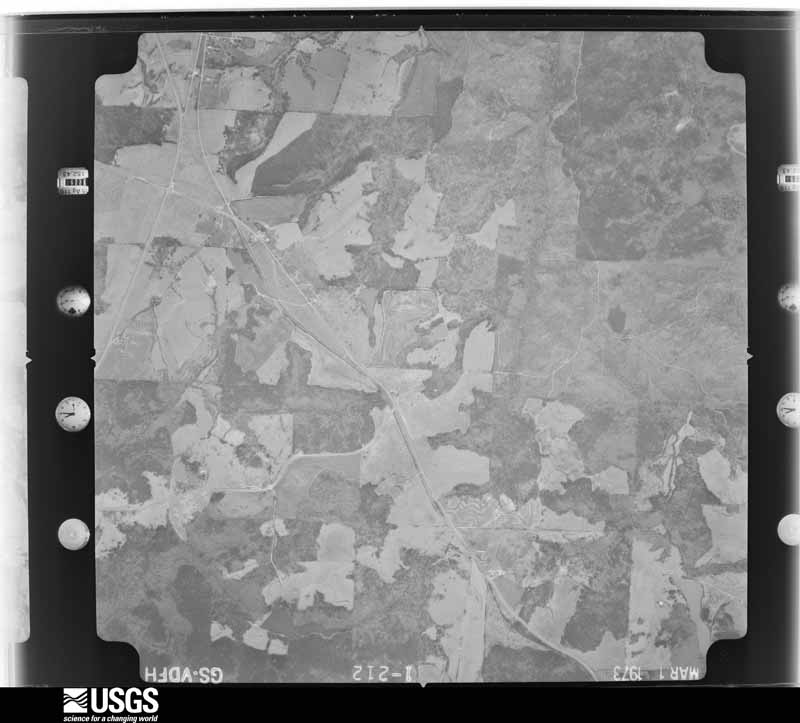
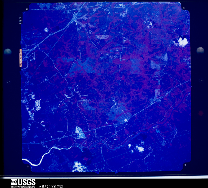
Flown by the U.S. Geological Survey between 1937 and 1989, the Aerial Photo Single Frames collection is the definitive mid-century view of the land: fields, roads and rivers as the camera saw them. The Survey holds 948 frames inside the rectangle that bounds this county; the 32 frames below were taken over the county itself, chosen across the decades of flights (at most four a year from that rectangle), so one flight cannot crowd out the rest. The full set is free to browse and download at EarthExplorer under the dataset Aerial Photo Single Frames.





















The thermometers that kept this county's weather, and the gages that measured the flow of its streams, as the federal records hold them. The extremes below are measured values from those records, not estimates.
Who lived here in 1950, one enumeration district at a time, as the Census Bureau described each district. Each row opens its official National Archives result, with Population Schedules and ED Maps available there.
Every wildfire the federal occurrence database records inside this county: 1,301 of them, burning about 3,661 acres. 37 started naturally and 152 were recorded as arson. Each settlement page carries the fires within five miles of it.
| Reported cause | Fires |
|---|---|
| Debris and open burning | 778 |
| Arson/incendiarism | 152 |
| Equipment and vehicle use | 105 |
| Missing data/not specified/undetermined | 91 |
| Misuse of fire by a minor | 55 |
| Smoking | 52 |
| Natural | 37 |
| Recreation and ceremony | 24 |
| Railroad operations and maintenance | 7 |
The five largest, by the area the report gives. Two of them were set deliberately.
| Date | Cause | Size | Reported by | Name on the report |
|---|---|---|---|---|
| 8 March 2004 | Debris and open burning | 105 acres | Georgia Forestry Commission | not named |
| 17 June 1993 | Arson/incendiarism | 97 acres | Georgia Forestry Commission | not named |
| 20 May 2006 | Arson/incendiarism | 79 acres | Georgia Forestry Commission | not named |
| 28 April 2006 | Debris and open burning | 77 acres | Georgia Forestry Commission | not named |
| 21 March 2007 | Debris and open burning | 75 acres | Georgia Forestry Commission | not named |
| 12 May 2000 | Misuse of fire by a minor | 56 acres | Georgia Forestry Commission | FY2000-MONROE-090 |
| 10 May 2017 | Debris and open burning | 51 acres | Georgia Forestry Commission | FY2017-MONROE-039 |
| 24 April 2004 | Debris and open burning | 46 acres | Georgia Forestry Commission | not named |
Every settlement page carries the fires within five miles of it - see the settlement index below.
The NOAA Storm Events Database holds 240 reports for this county, causing no deaths, 13 injuries and about $20,311,830 in recorded property damage. Each settlement page carries the reports that name it.
| Kind of event | Reports |
|---|---|
| Thunderstorm Wind | 153 |
| Hail | 47 |
| Tornado | 19 |
| Lightning | 9 |
| Flash Flood | 6 |
| Flood | 4 |
| Funnel Cloud | 1 |
| Heavy Rain | 1 |
The most serious of them, by death, then injury, then recorded damage. The accounts are quoted exactly as the forecast office filed them.
| When | Event | Place named | Harm | What the report says |
|---|---|---|---|---|
| April 2011 | Tornado (EF2) | Socrates | 10 hurt, $5,000,000 | A damage survey conducted by the National Weather Service Forecast Office in Peachtree City confirmed that the tornado, which originally touched down in far southeast Pike county and continued moving northeast across Lamar county, causing extensive damage and two fatalities there, continued across northern Monroe county before finally moving into extreme southeast Butts county and lifting. The tornado weakened from an EF3 in Lamar county to an EF2 as it crossed northern Monroe county, then to an EF0 as it briefly crossed into Butts county. Within Monroe county the tornado path length was just over 11 miles. The maximum path width continued at 0.6 mile with maximum winds at 140 mph. Just after the tornado crossed into Monroe county, it crossed Interstate-75 near mile marker 196, where three 18-wheel tractor-trailers were blown off the interstate. Several homes suffered minor to moderate damage. A total of four homes were destroyed, 19 others suffered major damage, with 25 sustaining minor damage. Most of the damage homes were near High Falls State Park and Blount. While there were no fatalities within Monroe county from this tornado, 10 injuries were reported from the damaged and destroyed homes.||[04/27-04/28/11: Tornado #12, County #3-4, EF3, Pike-Lamar-Monroe-Butts, 2011:021]. |
| May 1998 | Tornado (F0) | Dames Ferry | 2 hurt, $100,000 | A severe thunderstorm cell spawned a tornado in the southeast corner of the county. The damage path was surveyed by a NWS employee who reported damage at the Whispering Pines mobile home park. Four mobile homes and a van were destroyed, mainly from trees falling on them.Two minor injuries occurred. Numerous trees and power lines were downed. Most of the damage appeared to be straight-line winds, but there was eveidence of circulation in some of the tree damage sites near the mobile home park. A metal outbuilding was lifted from a concrete pad and dropped 100 feet away, but items beneath the storage building remained intact on the pad. Eyewitness reports described the funnels as they ascended and descended. One person reported his truck was turned around in almost a complete circle but was left upright. |
| April 2020 | Tornado (EF3) | Collier | 1 hurt, $10,000,000 | This tornado is a regeneration from the same storm which caused the Upson County EF-3 tornado to the southwest. This tornado first touched down along Potts Cemetery Road downing a few trees continuing NE crossing Hwy 41 and Ingram Rd snapping and|uprooting a few trees. This portion of the track was rated EF-0. The tornado intensified quickly NE of Hwy 41 into an EF-3 as it approached Goodwyne/Collier Rd. A large 100'x150' metal building and small home were completely destroyed. The metal frame and 3'x3'x3' concrete footers for the building were all pulled from the ground with the building and twisted amongst the wreckage leaving holes in the ground around the concrete slab. Several cars were flipped and thrown including a jeep which was thrown onto the small home which sat next to the metal building. The homeowner was inside his home in the bathroom sheltering and survived under the a large pile of debris from both the house and building. Rescue operations took 45 minutes to get to the homeowner under the debris. A small plane was destroyed, a mid-size tractor was |flipped over and a boat was thrown from the tornado at this location. High end EF1/EF2 Tree damage occurred in the area to the surrounding and to the NE of the building. As the Tornado continued NE along Collier Rd, numerous trees were snapped and |uprooted including a large tree onto a home near Collier and Smith Rd. The tornado crossed Interstate 75 near mile marker 188 throwing numerous trees onto the highway shutting it down for a period of time until they were cleared. By this point, the tornado|intensity decreased to EF0/EF1 and continued NE crossing English Rd downing trees and eventually Hwy 42 before weakening. NWS Radar imagery suggests debris was lofted to as high as 19,000 FT from this particular tornado. [04/13/20: Tornado #13, County #1/1, EF-3, Monroe, 2020:019]. |
| March 2009 | Flood | Higgins Mill | $500,000 | The Monroe County Emergency Management Director and local newspapers reported that up to five inches of rain fell during a 24-hour period on top of already saturated soils resulting in flooding of area creeks and streams. This caused several roads to be washed out and closed. In all, eights roads were closed as a result of flooding. Most of the damage was the result of washed out culvert or drainage pipes. Chambers Road at the intersection of Juliette Road was washed out by Chambliss Creek and left closed for an extended period of time. Montpelier Springs Road was flooded at the Tobosofkee Creek bridge near Georgia Highway 42 and left closed for several days. Zellner Road at Smith/Goodwyn Road was washed out and left impassible for an extended period of time. Ebenezer Road at Lake Juliette was flooded for several days until the water receded. Byars Road, a dirt road near the intersection of Georgia Highway 83 and Juliette Road, was covered with over a foot of water for over 24 hours, and washed out. |
| May 2008 | Thunderstorm Wind | Dyas | $500,000 | The Monroe County 911 Center reported that hundreds of trees were down, especially in the southern part of the county. Three homes sustained minor to moderate damage as a result of the downed trees. Many parts of the county were left without power and some roads were temporarily blocked from downed trees, especially in the vicinity of Georgia Highway 74 and Georgia Highway 42. |
| August 2007 | Thunderstorm Wind | Higgins Mill | $500,000 | An official with the Monroe County Emergency Management Agency reported that an apparent thunderstorm downburst or microburst caused considerable damage throughout the city of Forsyth and along Interstate-75 from mile marker 193 in the northwest part of the county to mile marker 185 just southeast of Forsyth. The damage consisted mainly of downed trees throughout this area, including many throughout the city of Forsyth. Several homes were damaged as a result of the downed trees and several power lines were down as well. Johnstonville Road at mile marker 193 was blocked from downed trees and power lines. Several roads were blocked in two subdivisions in the Forsyth area as a result of downed trees. The Riatta subdivision appeared to be the hardest hit where in addition to tree, home, and power line damage, some horse stables were damaged by the strong winds. It was also noted that there were several traffic accidents along Interstate-75 between mile markers 195 and 183. |
| April 2017 | Tornado (EF1) | Smarr | $300,000 | A National Weather Service survey team found that an EF1 tornado with maximum wind speeds of 110 MPH and a maximum path width of 300 yards touched down west of US Highway 41 near Montpelier Road. The tornado traveled northeast crossing Highway 41 near Old Rumble Road snapping or uprooting numerous trees. The tornado widened as it approached Gose Road west of I-75. More than a hundred trees were |snapped or uprooted in a wooded area west of Gose Road. Along Gose Road, numerous homes sustained roof damage from the wind or from falling trees. The tornado continued northeast crossing I-75 where several trees fell onto cars on the interstate and blocked the highway. The interstate was shut down for several hours due to debris. The tornado continued northeast crossing Lee King Road where it damaged a small garage roof and snapped dozens of trees before crossing Abares Road and Jenkins Road. A couple homes sustained damage in this area due to falling|trees. The tornado began to weaken as it continued northeast crossing Dames Ferry Road then dissipating shortly before entering Lake Juliette. In total, several thousand customers were left without power, 30 homes sustained damage and 1 home was destroyed. A family was trapped in their home along Music Row, however no injuries were reported. [04/03/17: Tornado #15, County #1/1, EF-1, Monroe, 2017:047]. |
| January 2006 | Hail | Brent | $300,000 | The Monroe County Emergency Management Director reported golf ball-sized hail across much of the southern part of the county. |
| June 2018 | Thunderstorm Wind | Collier | $250,000 | A National Weather Service survey team determined that a long-lived multiple microburst event moved from southeastern Lamar County into west central Monroe County with winds as high as 95 mph. The damage path, around 5 miles wide, entered the county along Brent Road near Lee Williamson Road where an amateur weather station recorded a wind gust of 93 mph. Numerous large hardwood trees were uprooted or snapped as the damage path extended east southeast over 12 miles before ending around the intersection of Shi Road and Highway 41 near Bolingbroke. Some of these trees fell on homes or other structures causing considerable damage. Many power lines were downed across this area as well. No injuries were reported. |
| August 2011 | Thunderstorm Wind | Collier | $250,000 | The Monroe County 911 Center reported that dozens of trees were down across the county. At least six homes sustained minor to moderate damage from downed trees. One home had a portion of its roof blown off by high winds. |
| August 2007 | Lightning | Bolingbroke | $250,000 | The Forsyth County Emergency Management Director reported that two homes were struck and set on fire by lightning. One of the homes sustained substantial damage. Damage to the other home was less severe, but still significant. Lightning also struck a transformer in the area and left about 5000 residents in the area without power for several hours. |
| November 1992 | Tornado (F0) | not stated | $250,000 | no account filed |
| November 1992 | Tornado (F2) | not stated | $250,000 | no account filed |
| July 2012 | Hail | Berner | $217,000 | Multiple reports were received from the public of quarter to golf ball sized hail in the eastern portion of Monroe County, from Berner to Juliette. |
| April 2011 | Thunderstorm Wind | High Falls | $200,000 | The Monroe County Emergency Management Director reported that dozens of trees and several power lines were down throughout the county. Considerable damage was noted in High Falls State Park in the northwest corner of the county and within the city of Forsyth. A motorist was trapped in their vehicle in Forsyth at Georgia Highway 42 and Sharp Street when a large tree fell on the vehicle. The roof was blown off a home three miles south of High Falls State Park. Three other homes in the county suffered minor damage. |
| August 2007 | Lightning | High Falls | $150,000 | The Monroe County Emergency Management Director reported that lightning struck a home in the High Falls area. The home was completely destroyed from the resulting fire. |
| April 2005 | Lightning | Forsyth | $150,000 | The Monroe County Emergency Management Director reported that a direct lightning strike at the 911 center rendered all of the phones and radios in the facility unuseable. |
| January 2021 | Tornado (EF0) | Russellville | $100,000 | A National Weather Service survey found that an EF0 tornado with maximum wind speeds of 85 MPH and a maximum path width of 150 yards touched down in southwest|Monroe county southeast of the intersection of Hardin Road and Treadwell Road. The tornado travelled northeast before ending along Treadwell Road between Hardin Road and Rogers Church Road. Multiple trees were blown down. Up to 10 structures received some damage and a garage completely destroyed. [1/1/21: Tornado #3, County #1/1, EF-0, Monroe, 2021:003]. |
| January 2006 | Hail | High Falls | $100,000 | The Monroe County Emergency Management Director reported golf-ball sized hail across much of the northern part of the county. |
| November 2002 | Tornado (F0) | Bolingbroke | $100,000 | The National Weather Service disaster survey team continued its survey into extreme southern Monroe county and classified the damage here as F0 tornado damage as well. The same tornado that originated in extreme northern Bibb county moved east-northeast into extreme southern Monroe county, continuing to do damage in the Sleepy Creek and Cross Creek Subdivisions. The damage was confined mainly to numerous downed pine trees, a few on homes, and a few incidents of shingles blown off roofs. At least eight homes and four vehicles were damaged by downed trees. One four foot diameter tree was blown right through the bedroom of one home and at least two dozen trees were tossed about like twiggs in another part of the subdivision. Two roads were blocked by downed trees as well. |
| June 2019 | Thunderstorm Wind | Russellville | $50,000 | Report of dozens of trees blown down just southeast of Forsyth, beginning at 42 South and Maynards Mill Road. |
| July 2012 | Lightning | Blount | $50,000 | The Monroe County Emergency Manager reported that a barn was destroyed by lightning. |
| August 2009 | Thunderstorm Wind | Brighton Mills | $50,000 | The Monroe County Emergency Management Director reported that a large oak tree was blown down onto a home and vehicle on Indian Springs Drive. The home suffered minor damage as a result. The cab of the adjacent truck suffered extensive damage. A female was inside at the time, but escaped without injury Another tree was down across power lines at the intersection of North Lee Street and North Lee Street Extension. The power line damage in this area resulted in over 100 businesses losing power. |
| March 2005 | Lightning | Juliette | $50,000 | The Monroe County Reporter of Forsyth reported that lightning struck and set a home on fire in far northeast Monroe county. The fire was confined to the kitchen. In addition, an adjacent tractor-trailer was damaged by the lightning and resulting fire. |
| January 2021 | Tornado (EF1) | Bolingbroke | $45,000 | A National Weather Service survey found that an EF1 tornado with maximum wind speeds of 95 MPH and a maximum path width of 200 yards touched down in a wooded area between Rumble Road, Jenkins Road and Dames Ferry Road near the confluence of Deer Creek and Little Deer Creek. The tornado moved northeast snapping and uprooting multiples trees. The tornado crossed Dames Ferry Road southwest of the Lake Juliette dam, flipping a mobile home on its side before ending just west of Highway 23/87. [1/1/21: Tornado #4, County #1/1, EF-1, Monroe, 2021:004]. |
| June 2014 | Thunderstorm Wind | Forsyth | $40,000 | The Monroe County Emergency Manager reported that between 25 and 30 trees were blown down. One tree fell on a car. |
| November 2014 | Tornado (EF1) | Dyas | $30,000 | A NWS storm survey team found that an EF-1 tornado, with maximum wind speeds of 107 MPH, touched down in southwest Monroe County and moved northeast across the county before lifting near Juliette. Extensive tree damage was noted along the path with many trees snapped and uprooted. The tornado reached its peak intensity as it crossed Reedy Creek Road where several large hardwood trees were snapped. A barn collapsed at this location and another had its metal roof peeled off. A shed was destroyed and a tree fell on a house in Smarr. [11/23/14: Tornado #6, County #1-1, EF1, Monroe, 2014:023]. |
| December 2009 | Flood | Box Ankle | $30,000 | A damage survey conducted by the National Weather Service hydrologist from Peachtree City, GA concluded that a flood had occurred in portions of Monroe county, generally southeast of Forsyth. Small portions of Abernathy, Edwards, Treadwell, Smith, and Zellner Roads were covered with one to two feet of water from adjacent streams or creeks. Minor erosion damage was observed to all of these roads. In addition, portions of Joe Chambers Road also suffered erosion damage. Drainpipes that had been replaced as recently as the previous April and May were observed to have severe erosion. The road was closed to install larger drainpipes. Estimated rainfall in the area was two to three inches in a 6-hour period. The cost to repair these roads was estimated to be $30,000. |
| December 2009 | Thunderstorm Wind | Smarr | $25,000 | A storm survey conducted by the National Weather Service in Peachtree City, Georgia confirmed that damage across Monroe county was caused by 70 mph straight-line winds rather than a tornado. Two homes suffered minor damage in the vicinity of Gosa Road and Callaway Road, approximately four miles southeast of Forsyth. The damage was in the form of minor siding, roof, and gutter damage. Television antennas were blown off two other nearby homes. Two outbuildings in vicinity were also destroyed. Approximately six mature pine trees were blown down from this area toward Lake Juliette in the northeast part of the county. |
| January 2009 | Tornado (EF0) | Smarr | $25,000 | A survey conducted by the National Weather Service Forecast Office in Peachtree City, Georgia confirmed that an EF0 tornado touched down near 412 Reedy Creek Road, approximately five miles southeast of Forsyth, then tracked eastward for approximately three miles across southeast Monroe county. The maximum path width was estimated to be 100 yards. Maximum winds were estimated at 85 mph. The tornado moved east across U.S. Highway 41 near the Smarr water tower, then dissipated as it crossed Interstate-75 southeast of the Rumble Road Industrial Park. One home sustained moderate damage to its roof and siding. Three other structures sustained minor shingle damage along the path of the tornado. Trees were sporadically either snapped or uprooted along the path of the tornado. |
| May 1983 | Tornado (F0) | not stated | $25,000 | no account filed |
| August 1954 | Tornado (F1) | not stated | $25,000 | no account filed |
| January 1952 | Tornado (F1) | not stated | $25,000 | no account filed |
| April 2017 | Thunderstorm Wind | Culloden | $20,000 | The Monroe County Emergency Manager reported numerous trees blown down around and east of Culloden. Trees fell on homes on College and Norwood Streets and a large tree was across the road on Highway 341. East of Culloden on Highway 74, several pieces of a tin roof were peeled back and a large sliding door was damaged on a garage. No injuries were reported. |
| November 2006 | Lightning | Forsyth | $20,000 | The Monroe County Emergency Management Director reported that lightning had struck a home on Reedy Creek Road. The resultant fire caused minor damage to the roof of the garage and some of the siding on the home. Some electrical damage was also observed. |
| June 2019 | Thunderstorm Wind | Strouds | $15,000 | Multiple reports of trees down across the county from Russellville to Forsyth, Bolingbroke and Dames Ferry. Some locations include along Highway 83 at the Parker Chapel Church, Highway 41 at the New Providence Baptist Church, Dames Ferry Road at Highway 41, Estes Road, New Forsyth Road, Edge Road, and Dames Ferry Road just before Highway 87. |
| January 2017 | Tornado (EF0) | Spring Hill | $15,000 | A National Weather Service survey team found that an EF0 tornado with maximum wind speeds of 80 MPH and a maximum path width of 250 yards began in southern Monroe County near the intersection of Zebulon Road and Shi Road. The tornado moved north-northeast crossing Hill Road, King Road, U.S Highway 41, Boling Broke Road, I-75, Rumble Road and Deer Creek Road before ending along Jenkins Road south of Lake Juliette after travelling around 9 miles. Mainly tree and power line damage was reported with this tornado. [01/21/17: Tornado #11, County #1/1, EF0, Monroe, 2017:012]. |
| November 2009 | Flood | Box Ankle | $15,000 | The Monroe County Emergency Management Director reported flooding in many areas of the county. Several dirt roads were washed out in low-lying areas by swollen creeks and streams. Some of the roads damaged and closed included Smith Road, Ebenezer Road, Marshall Road, Tredwell Road, and English Road. A Forsyth resident had to be rescued from flood waters at the intersection of Marshall Road and Old Brent Road. Swift flowing water was over one foot deep at the time of this event. Some of the roads remained closed for several days. Damage to culvert pipes and roads was estimated to be $15,000. |
| June 2023 | Thunderstorm Wind | High Falls | $10,000 | Numerous trees down in Monroe county around High Falls Park. |
| November 2018 | Thunderstorm Wind | Culloden | $10,000 | The Monroe County Emergency Manager reported numerous trees and power lines blown down across the county from Culloden to east of Bolingbroke. |
| April 2011 | Lightning | Berner | $10,000 | The Monroe County Emergency Management Director reported that lightning struck a barn near the Butts county line setting the structure on fire. The barn was destroyed as a result. |
| June 2011 | Lightning | Forsyth | $10,000 | The Forsyth County Emergency Management Director reported that two homes in the Forsyth area were struck by lightning. Only minimal damage was observed. |
| April 2009 | Flood | Socrates | $10,000 | The Monroe County Emergency Management Director reported that 13 roads across the county were flooded and rendered impassable from heavy rain over a 3-day period. Several dirt roads were washed out. Minor flooding of fields and woodlands along creeks, streams, and rivers was also observed. Up to five inches of rain fell in parts of the county during the event. |
| August 2005 | Thunderstorm Wind | Bolingbroke | $10,000 | The Monroe County Emergency Management Director reported that dozens of trees were down in the Bolingbroke area. A number of power lines were also down and power was out throughout the area. The Emergency Management Director indicated that it was possible that a tornado had touched down in the area. Although National Weather Service damage surveys conducted in the region could not confirm a tornado touchdown, National Weather Service Doppler radar indicated a definite mesocyclone circulation in the area at the time of the damage reports. Several trees and power lines were down on Zebulon Road and Estes Road in Bolingbroke. A few trees and power lines were also down in the Juliette area of northeast Monroe county along the Jones county line. |
| July 2003 | Thunderstorm Wind | Forsyth | $10,000 | The public reported that a couple of trees fell, one on a house northeast of Forsyth causing damage both to the roof and the side of the house, while another tree fell across the road. |
| June 2015 | Thunderstorm Wind | Spring Hill | $8,000 | The Monroe County 911 Center reported trees blown down on both Maynards Mill Road and Tharpe Road near highway 74. |
| July 2019 | Thunderstorm Wind | Smarr | $7,000 | The Monroe County Emergency Manager reported several trees blown down from southwest of Bolingbroke to west of Smarr. |
| November 2014 | Thunderstorm Wind | Culloden | $6,000 | The Monroe County Emergency Manager reported multiple trees snapped and uprooted near Culloden on State Highway 74. |
| July 2012 | Thunderstorm Wind | Berner | $6,000 | The Monroe County Emergency Manager reported 20 to 30 trees blown down, mainly in the northeast part of the county. |
| February 2025 | Thunderstorm Wind | Cabaniss | $5,000 | Em reports tree down several trees down between ga42 and ga 23 and just north of stokes store rd. |
| April 2025 | Thunderstorm Wind | Star Mills | $5,000 | Multiple trees down in radius of agnes st and railroad ave. |
| July 2020 | Thunderstorm Wind | Logwall | $5,000 | The public and the Highway Department reported several trees blown down along Sutton Road to around the intersection of Highway 83 and Stokes Store Road. |
| February 2019 | Thunderstorm Wind | Brighton Mills | $5,000 | The Monroe County Emergency Manager reported several trees blown down on I-75 between mile markers 191 and 192. |
| September 2014 | Thunderstorm Wind | High Falls | $5,000 | The Monroe County Sheriffs Office reported numerous trees down in northern Monroe County, including at least one on a house. |
| March 2013 | Thunderstorm Wind | High Falls | $5,000 | The Monroe County Emergency Manager reported that trees were blown down countywide. At least one car accident occurred as a result of the weather. |
| July 2012 | Lightning | Socrates | $5,000 | The Monroe County 911 Center reported that a house was struck by lightning on Johnstonville Road. Only minor damage and no injuries were reported. |
| August 2007 | Heavy Rain | Forsyth | $5,000 | An official with the Monroe County Emergency Management Agency reported localized flooding as a result of very heavy rain from a small thunderstorm that passed from northwest to southeast across the county. The Forsyth area was particuarly hard hit where drainage systems were unable to handle the amounts of rain that fell in a 30 minute period of time. Several streets were flooded for a brief period. One building sustained minor damage when several inches of water got into the bottom floor. |
| June 2004 | Thunderstorm Wind | Countywide | $5,000 | The Monroe County Sheriff's Department reported that a number of trees had been blown down around the county. The southern part of the county was the most affected. |
| July 1999 | Thunderstorm Wind | Forsyth | $5,000 | Thunderstorm winds knocked trees and power lines down. A large tree fell on a funeral home chapel, causing damage. |
| June 1998 | Thunderstorm Wind | Countywide | $5,000 | The Monroe county sheriff reported trees down. |
The Survey's mineral resources record lists 39 workings inside this county. 1 still produces and 38 are closed or unrecorded. Each settlement page carries the workings within five miles of it.
| Commodity | Workings |
|---|---|
| Mica | 37 |
| Feldspar | 1 |
| Garnet | 1 |
| Stone, Crushed/Broken | 1 |
The least common of them first, because a county's hundredth gravel pit says nothing its first ten did not.
Named settlements recorded in the Geographic Names Information System, each with the topographic sheets covering it. Villages, hamlets and abandoned places alike. Each is shown with the nearest named watercourse or landform and the survey quadrangle it falls on. The 2 places that were also surveyed for fire insurance come first, with the number of atlases and photographs held for them.
Forsyth census division · 31029 · Forsyth quadrangle
14 sheets, 1951 to 1988
Fire insurance: 9 atlases
Forsyth census division · 31046 · Near Zellner Island · East Juliette quadrangle
13 sheets, 1951 to 1988
Fire insurance: 2 atlases
Culloden-Bolingbroke census division · 31029 · Smarr quadrangle
10 sheets, 1956 to 1988
No longer a settlement
Culloden-Bolingbroke census division · 31210 · Bolingbroke quadrangle
12 sheets, 1956 to 1988
Forsyth census division · 31029 · On Red Creek · Forsyth quadrangle
14 sheets, 1951 to 1988
Forsyth census division · 31029 · On Mill Dam Creek · Indian Springs quadrangle
14 sheets, 1951 to 1988
Forsyth census division · 31046 · On Deer Creek · Dames Ferry quadrangle
11 sheets, 1953 to 1988
Culloden-Bolingbroke census division · 31029 · On Clifton Creek · Moran quadrangle
10 sheets, 1956 to 1988
Forsyth census division · 31029 · On Rocky Creek · Forsyth quadrangle
14 sheets, 1951 to 1988
Forsyth census division · 31029 · On Town Creek · Forsyth quadrangle
14 sheets, 1951 to 1988
Culloden-Bolingbroke census division · 31210 · On Tobler Creek · Macon NW quadrangle
12 sheets, 1956 to 1988
No longer a settlement
Forsyth census division · 31046 · On Berry Creek · East Juliette quadrangle
13 sheets, 1951 to 1988
Culloden-Bolingbroke census division · 31016 · Smarr quadrangle
10 sheets, 1956 to 1988
Culloden-Bolingbroke census division · 31029 · Near Providence Hill · Smarr quadrangle
10 sheets, 1956 to 1988
Forsyth census division · 30204 · High Falls quadrangle
11 sheets, 1951 to 1979
No longer a settlement
Culloden-Bolingbroke census division · 31029 · Smarr quadrangle
10 sheets, 1956 to 1988
No longer a settlement
Culloden-Bolingbroke census division · 31029 · On Cooks Creek · Forsyth quadrangle
14 sheets, 1951 to 1988
The vanished settlements of Monroe County: the places named above that are no longer on the map.
14 topographic sheets and 9 fire insurance atlases, 1885 to 1942
13 topographic sheets and 2 fire insurance atlases, 1923 to 1924