 Block
From the record
12 National Register listings published here.
Sources: the National Register database, National Park Service
44 topographic sheets and 3 fire insurance atlases across 1 place.
12 National Register listings published here.
Sources: the National Register database, National Park Service
Taken for the Office of War Information and the Farm Security Administration, who photographed the country between 1935 and 1944. Works of United States government photographers, with no known restriction on use. Each opens its catalogue record.
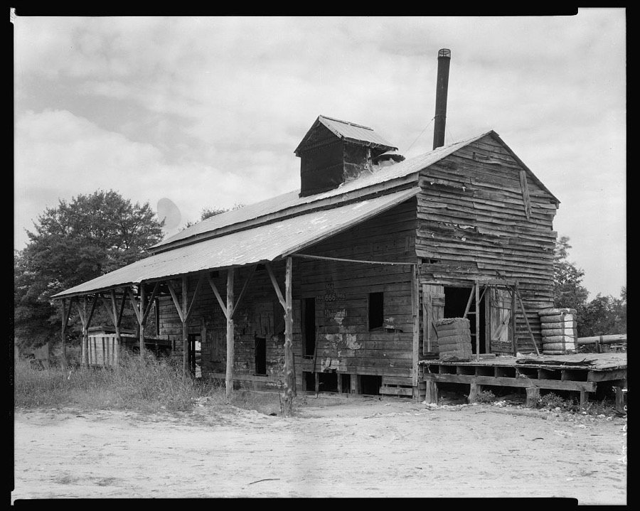
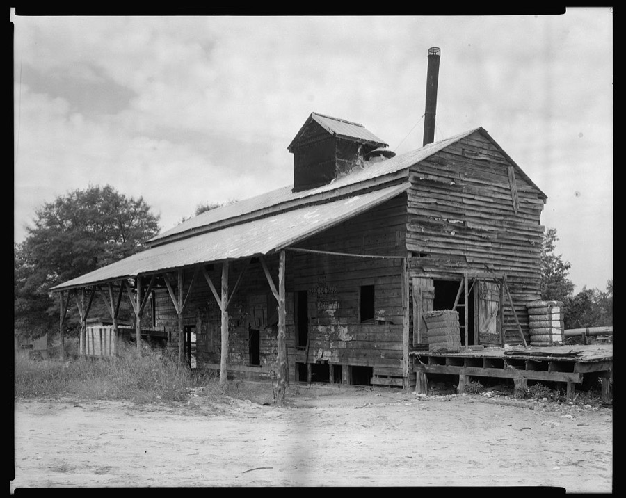


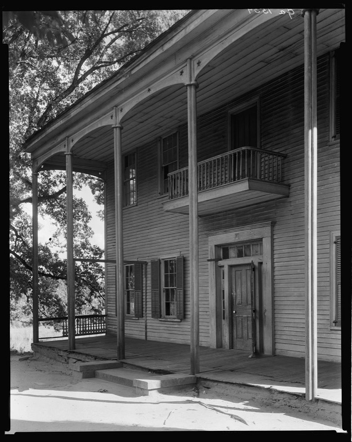

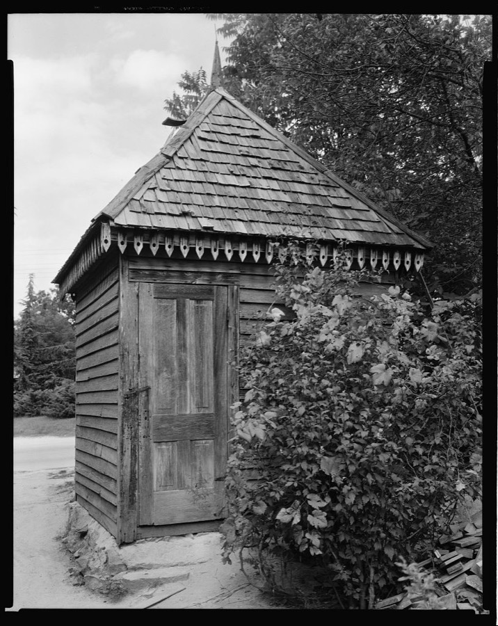
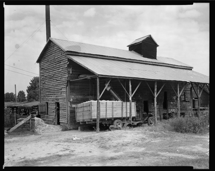

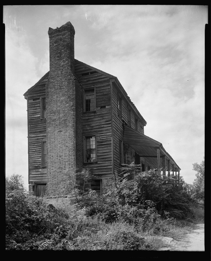


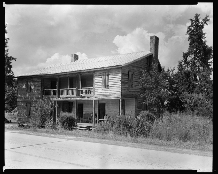
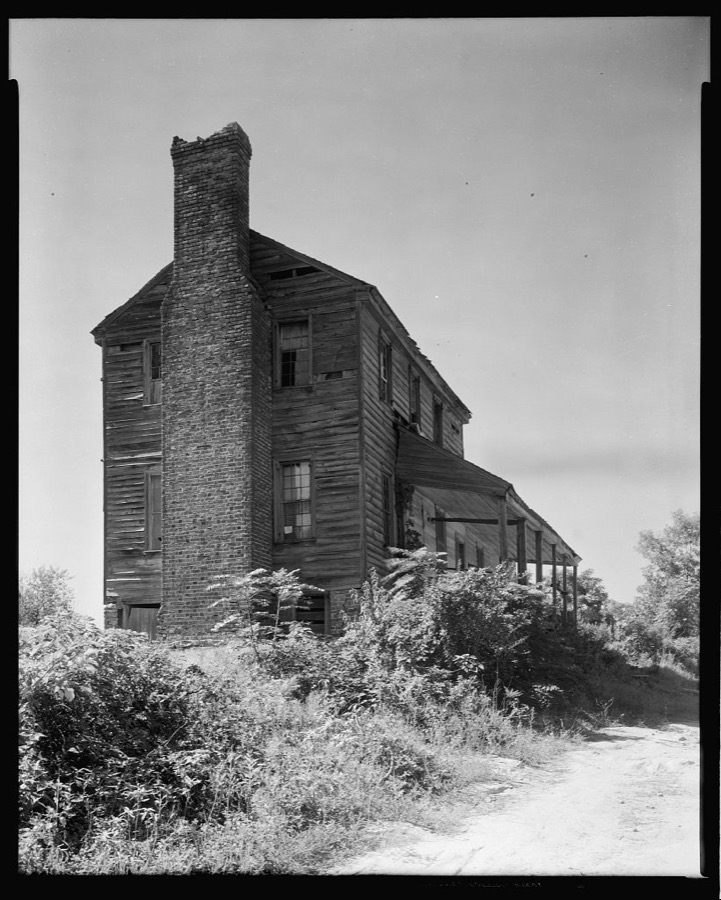


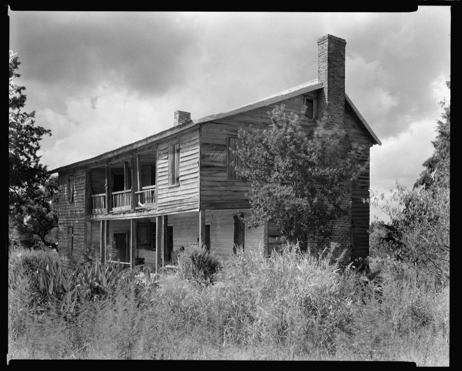

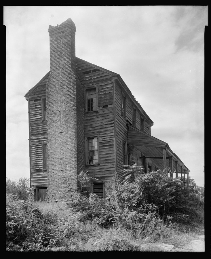
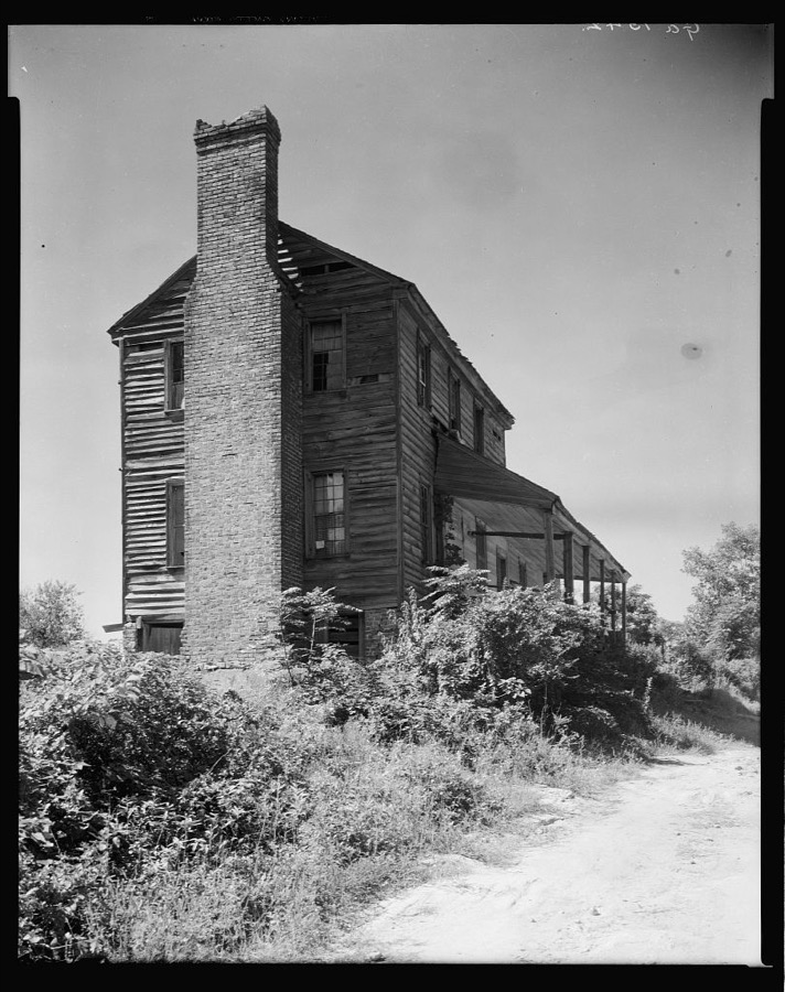
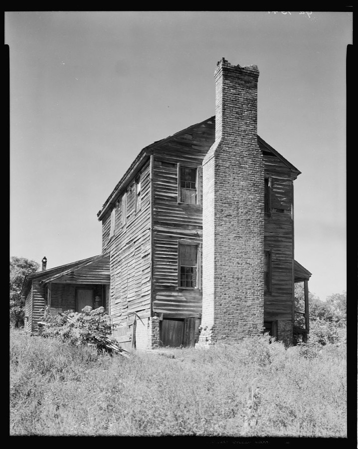
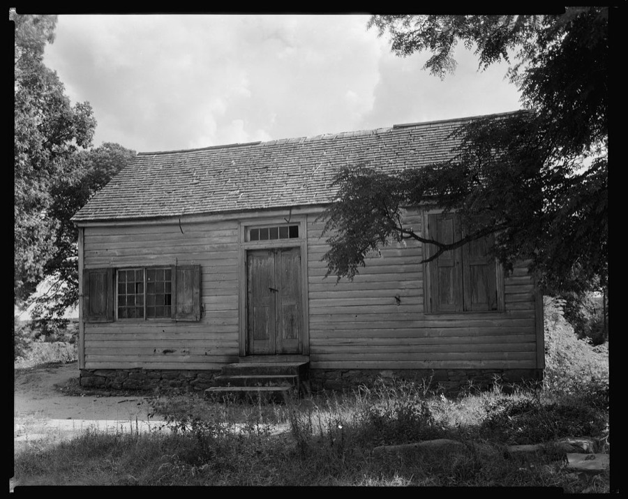
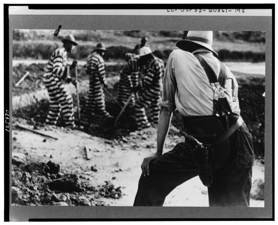
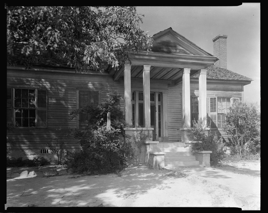

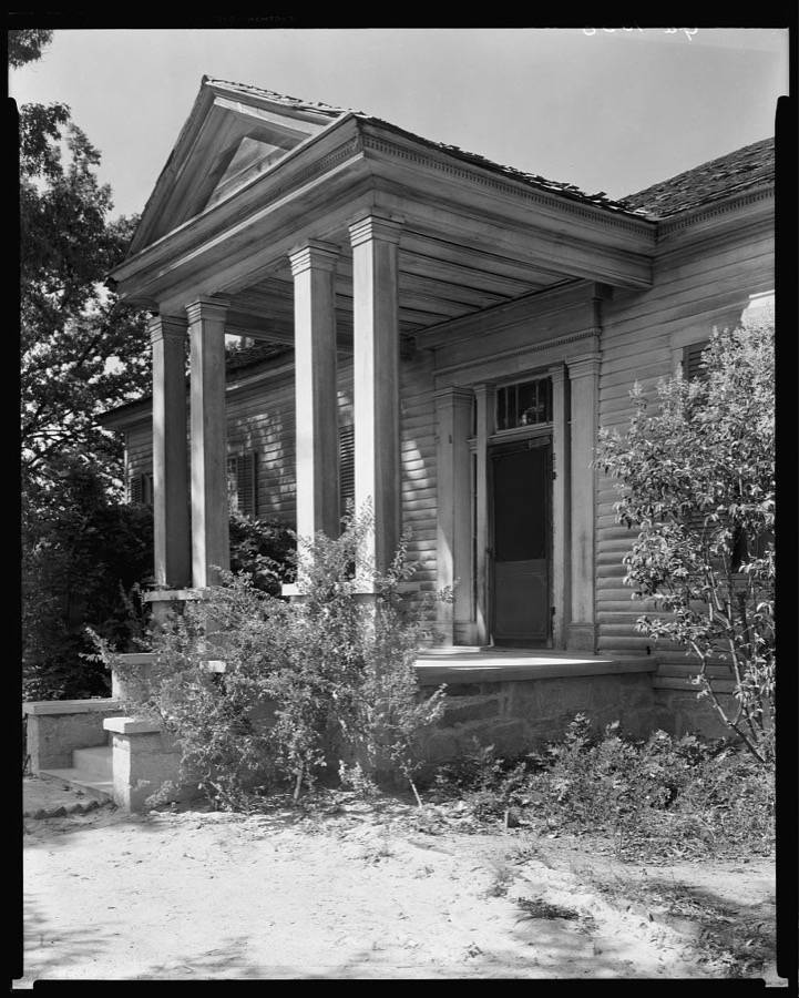
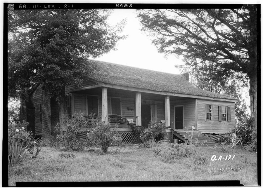
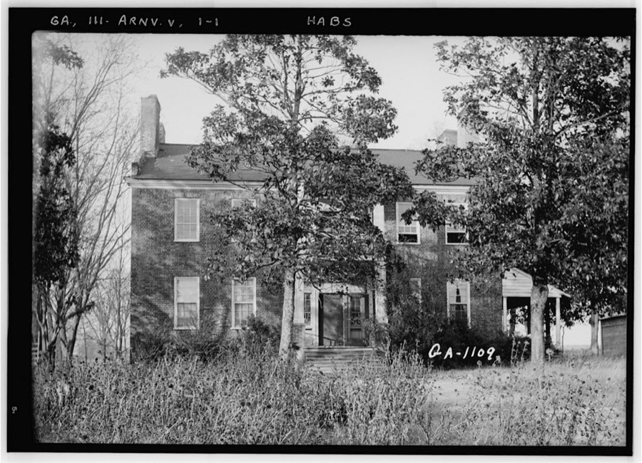
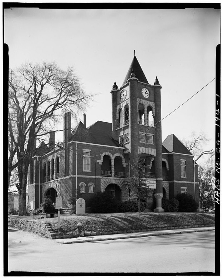
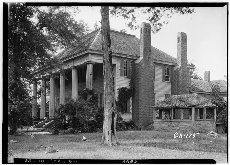
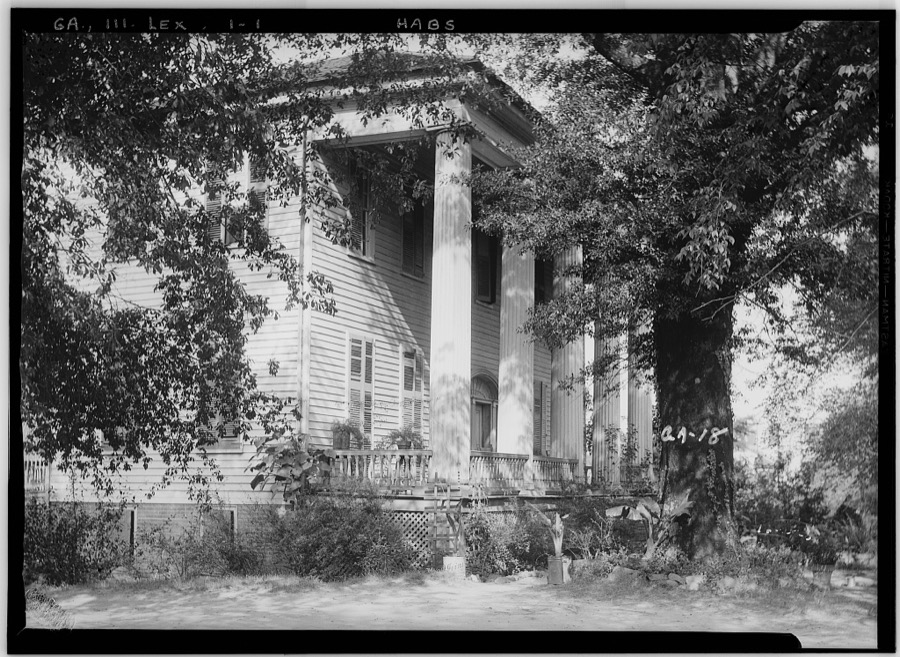
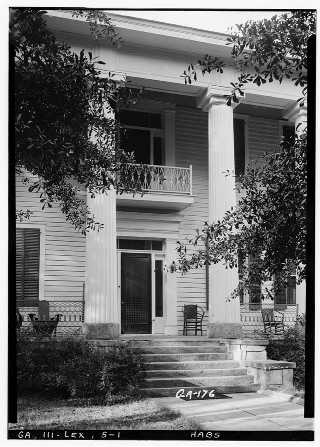
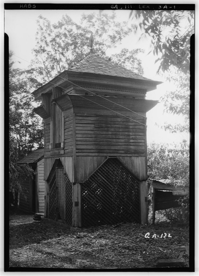
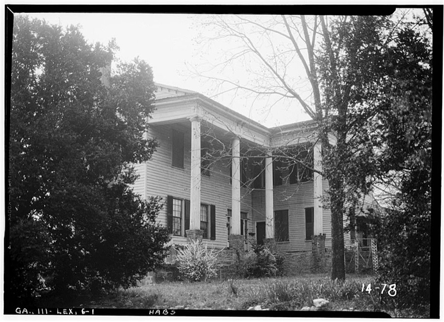
Every property in this county listed on the National Register of Historic Places, with the year it was listed and the federal nomination document.
| Photograph | Property | Type | Listed | Reference |
|---|---|---|---|---|
| Amis-Elder House | building | 1978 | 78000997 | |
| J. L. Bridges Home Place | building | 1978 | 78000999 | |
 | Crawford Depot | building | 1977 | 77000441 |
 | Durham Place | building | 2017 | 100001020 |
| Faust Houses and Outbuildings | building | 1980 | 80001217 | |
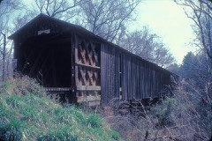 | Howard's Covered Bridge | structure | 1975 | 75000604 |
| Langston-Daniel House | building | 1978 | 78000998 | |
| Lexington Historic District | district | 1977 | 77000442 | |
| Maxeys Historic District | district | 2022 | 100008047 | |
| Philomath Historic District | district | 1979 | 79000740 | |
| Smith-Harris House | building | 1985 | 85001620 | |
 | Watson Mill Covered Bridge and Mill Historic District | district | 1991 | 91001147 |
Oglethorpe County has 2 covered bridges on the National Register. Each is a listed structure with a federal nomination on file.
| Howard's Covered Bridge | Listed 1975 |
| Watson Mill Covered Bridge and Mill Historic District | Listed 1991 |
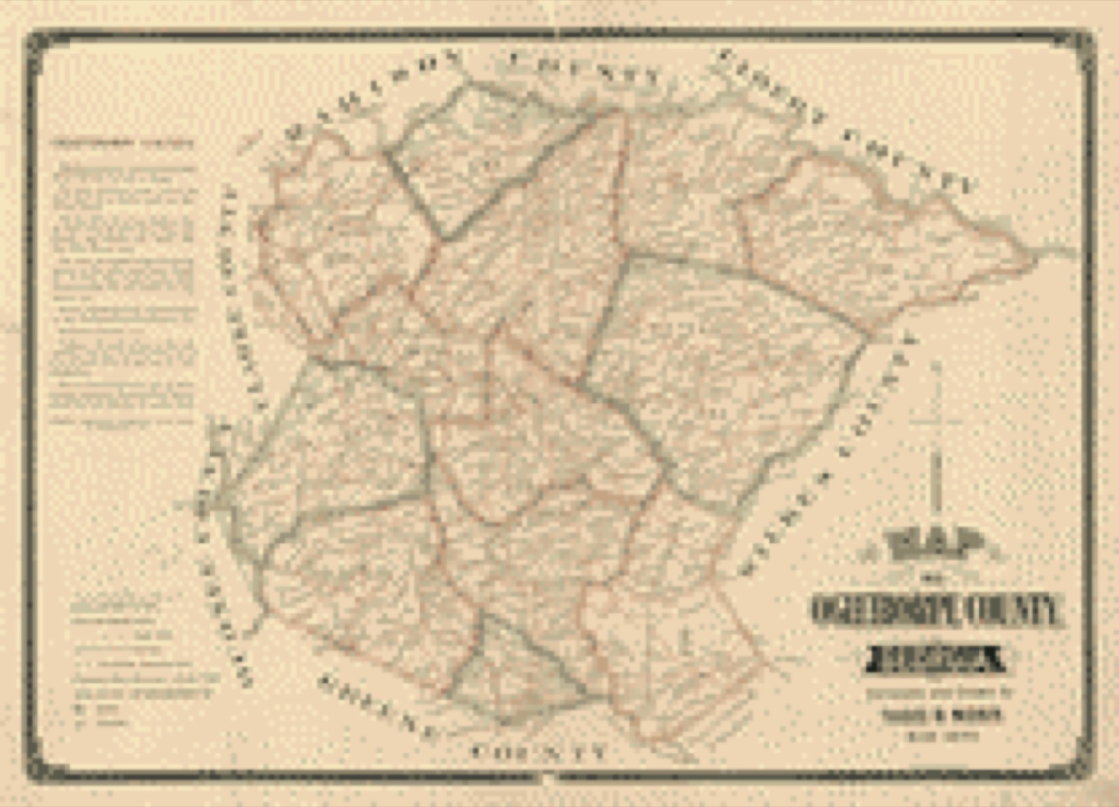
Drawn when these were printed as single large sheets: the town seen from the air, and the county divided into its farms with every owner named. Each opens the original at the Library of Congress.
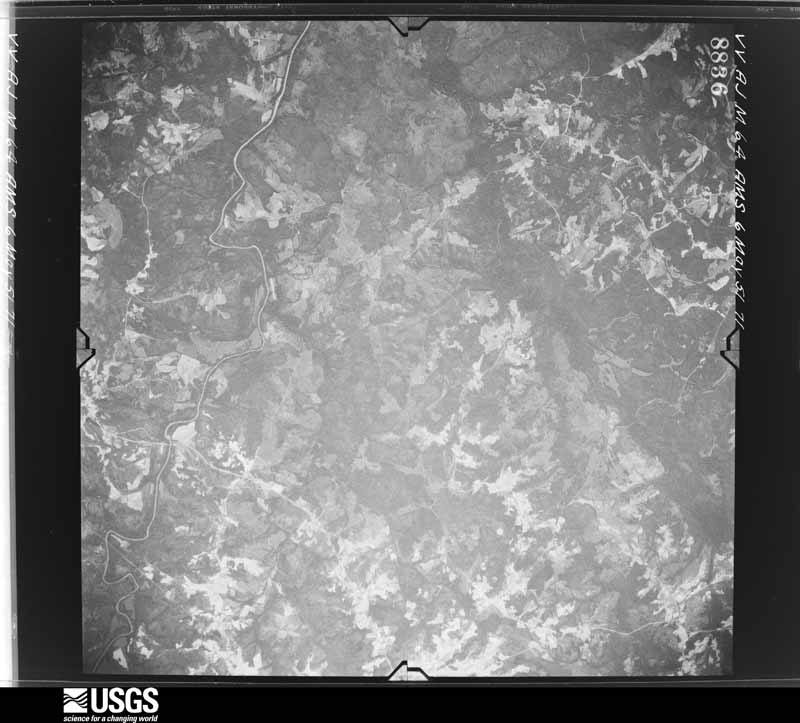
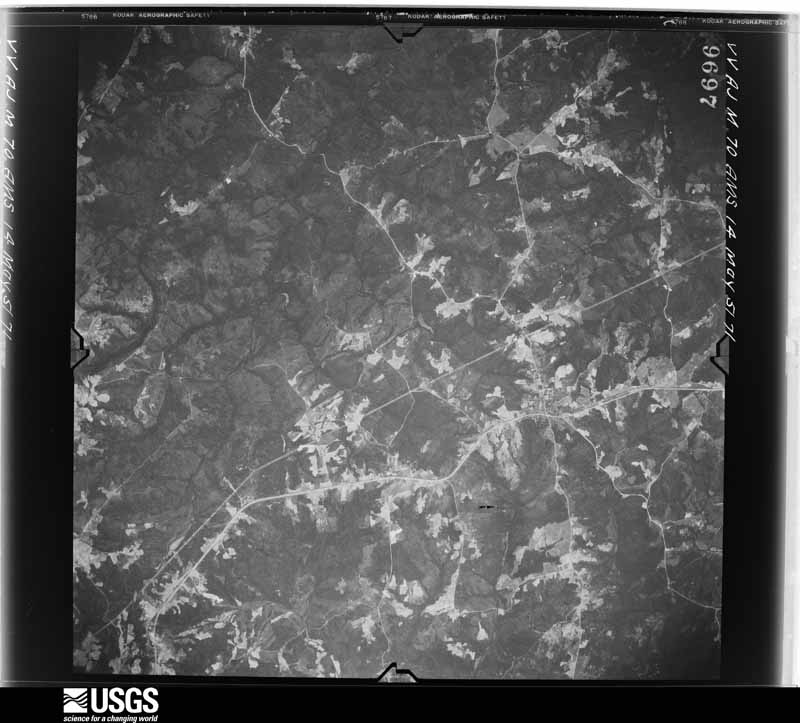
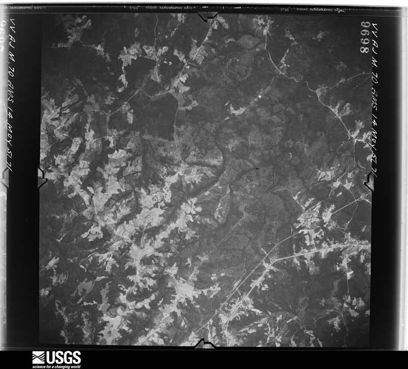
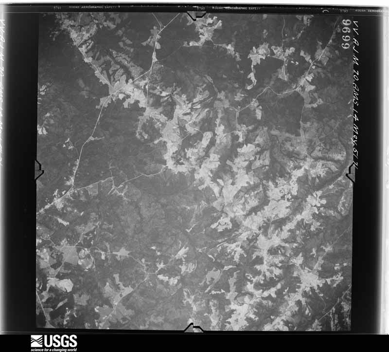
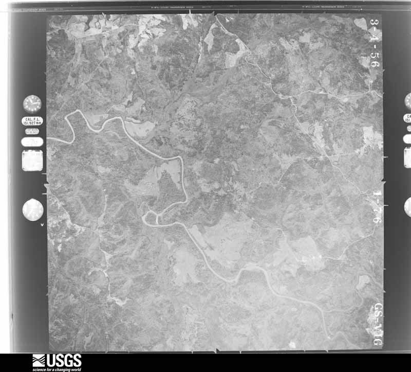
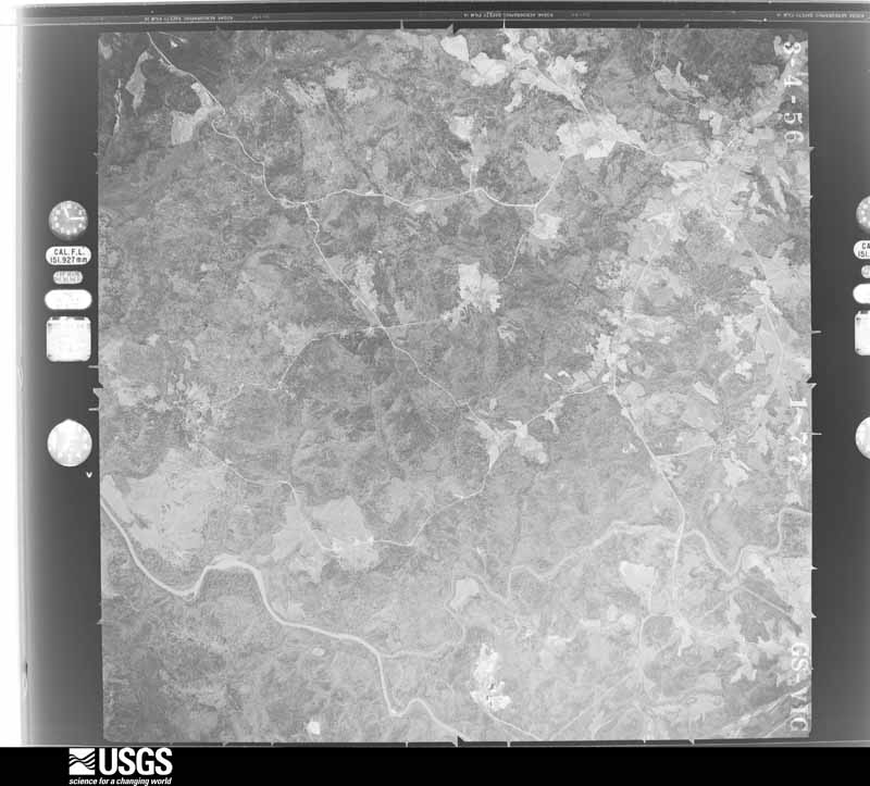
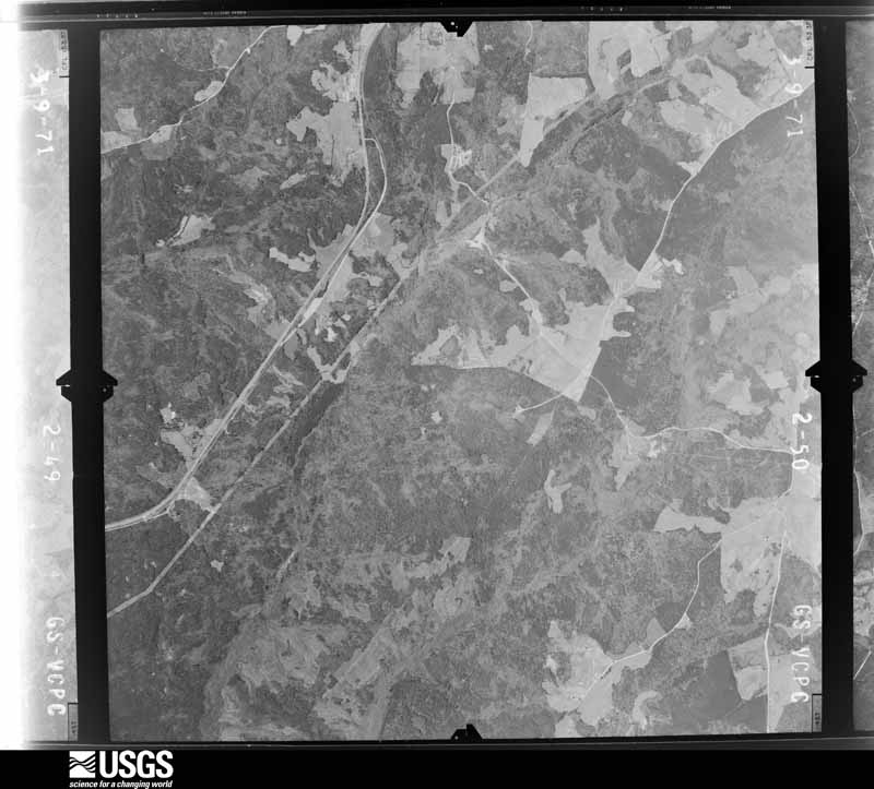
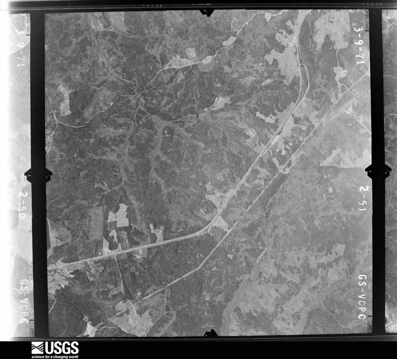
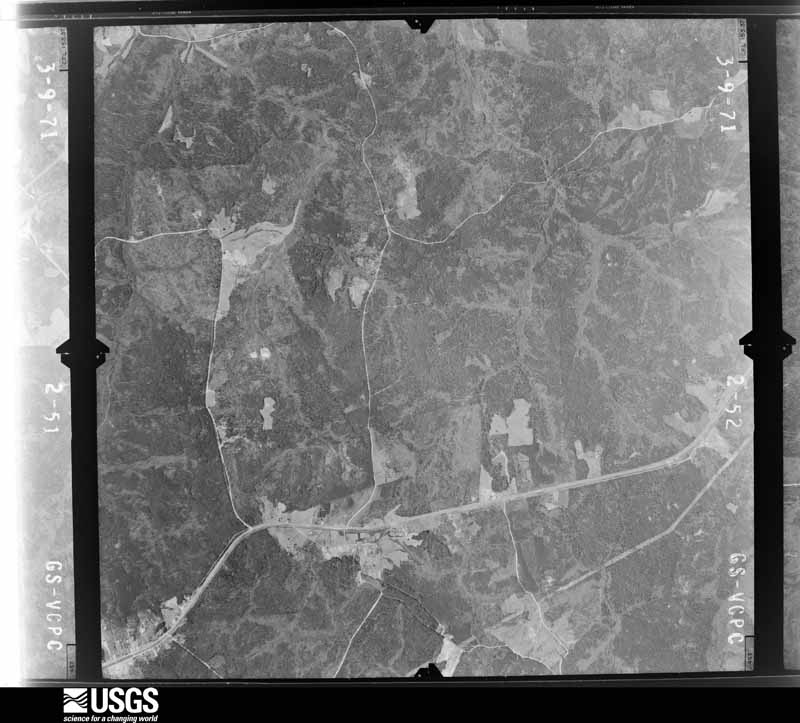
Flown by the U.S. Geological Survey between 1937 and 1989, the Aerial Photo Single Frames collection is the definitive mid-century view of the land: fields, roads and rivers as the camera saw them. The Survey holds 520 frames inside the rectangle that bounds this county; the 29 frames below were taken over the county itself, chosen across the decades of flights (at most four a year from that rectangle), so one flight cannot crowd out the rest. The full set is free to browse and download at EarthExplorer under the dataset Aerial Photo Single Frames.
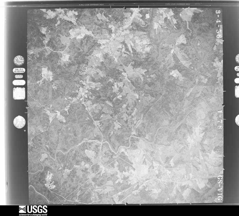



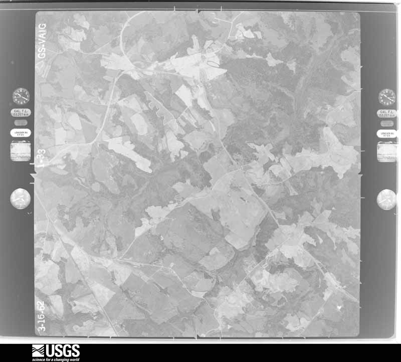
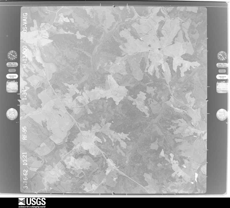
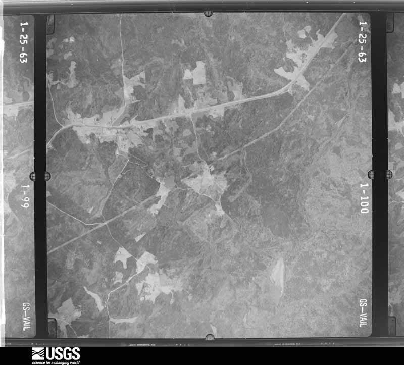
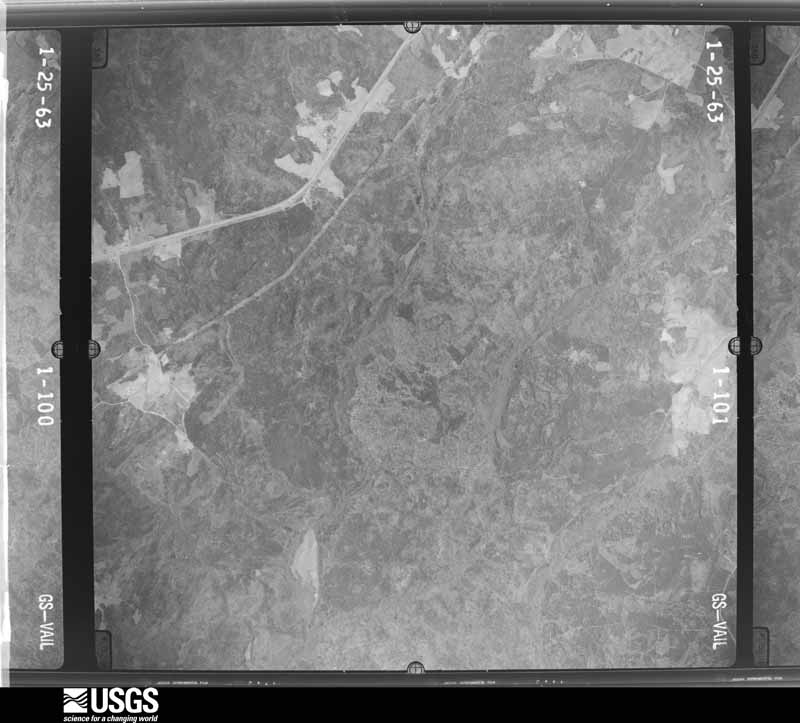
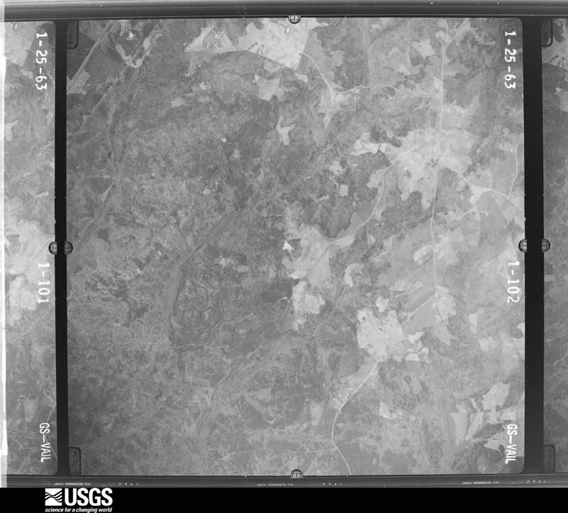

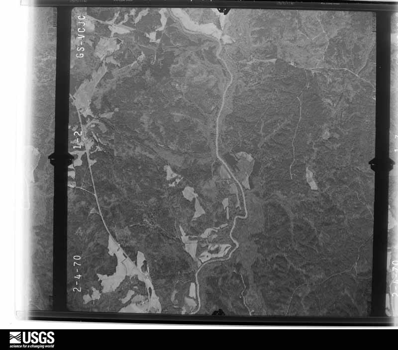


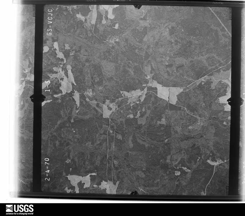






The thermometers that kept this county's weather, and the gages that measured the flow of its streams, as the federal records hold them. The extremes below are measured values from those records, not estimates.
Who lived here in 1950, one enumeration district at a time, as the Census Bureau described each district. Each row opens its official National Archives result, with Population Schedules and ED Maps available there.
Every wildfire the federal occurrence database records inside this county: 912 of them, burning about 4,413 acres. 66 started naturally and 98 were recorded as arson. Each settlement page carries the fires within five miles of it.
| Reported cause | Fires |
|---|---|
| Debris and open burning | 509 |
| Arson/incendiarism | 98 |
| Missing data/not specified/undetermined | 75 |
| Equipment and vehicle use | 75 |
| Natural | 66 |
| Misuse of fire by a minor | 42 |
| Recreation and ceremony | 26 |
| Smoking | 21 |
The five largest, by the area the report gives. Two of them were set deliberately.
| Date | Cause | Size | Reported by | Name on the report |
|---|---|---|---|---|
| 28 February 2002 | Debris and open burning | 547 acres | Georgia Forestry Commission | FY2002-OGLETHORPE-048 |
| 20 July 2000 | Debris and open burning | 301 acres | Georgia Forestry Commission | FY2001-OGLETHORPE-009 |
| 8 August 1999 | Natural | 151 acres | Georgia Forestry Commission | not named |
| 22 April 2004 | Arson/incendiarism | 131 acres | Georgia Forestry Commission | not named |
| 8 July 2006 | Arson/incendiarism | 91 acres | Georgia Forestry Commission | not named |
| 2 July 2002 | Natural | 82 acres | Georgia Forestry Commission | FY2003-OGLETHORPE-001 |
| 10 November 2001 | Smoking | 80 acres | Georgia Forestry Commission | FY2002-OGLETHORPE-026 |
| 16 August 2007 | Natural | 75 acres | Georgia Forestry Commission | not named |
Every settlement page carries the fires within five miles of it - see the settlement index below.
The NOAA Storm Events Database holds 154 reports for this county, causing no deaths, 3 injuries and about $256,557,580 in recorded property damage. Each settlement page carries the reports that name it.
| Kind of event | Reports |
|---|---|
| Thunderstorm Wind | 107 |
| Hail | 33 |
| Tornado | 7 |
| Flash Flood | 3 |
| Funnel Cloud | 2 |
| Lightning | 1 |
| Heavy Rain | 1 |
The most serious of them, by death, then injury, then recorded damage. The accounts are quoted exactly as the forecast office filed them.
| When | Event | Place named | Harm | What the report says |
|---|---|---|---|---|
| March 1984 | Thunderstorm Wind | not stated | 2 hurt | no account filed |
| February 1966 | Tornado (F2) | not stated | 1 hurt, $250,000 | no account filed |
| March 1973 | Tornado (F2) | not stated | $250,000,000 | no account filed |
| August 1994 | Tornado (F2) | not stated | $5,000,000 | A tornado touched and completely leveled a two-story, 2,500 square-foot wood-frame house, along Georgia Highway 22. The tornado moved northwest and destroyed 3 broiler houses, 2 chicken houses and killed 30,000 chickens approximately 0.25 mile from the leveled home. Several pecan trees were uprooted before the tornado lifted and dissipated. Most of the tornado damage occurred during the first 0.25 mile of its path. Total property damage was estimated at $700,000. |
| February 1997 | Thunderstorm Wind | Winterville | $500,000 | no account filed |
| December 2015 | Flash Flood | Veribest | $122,500 | The Oglethorpe County Emergency Manager reported a dam failed on a farm pond which flooded Centerville Road near Georgia Highway 77. A vehicle plunged into a flooded creek off of Arnold Caldwell Road. A swift water rescue was necessary to help the driver to safety. A few roads and culverts in the same area were either damaged or washed out due to flooded streams. |
| May 2021 | Tornado (EF0) | Dunlap | $100,000 | A National Weather Service survey determined that an EF0 tornado with maximum winds of 80 MPH and a maximum path width of 200 yards touched down along Robert Hardeman Road on the Clarke/Oglethorpe county line just south of Winterville. The tornado travelled east, snapping and uprooting several trees from Robert Hardeman Road across W. Beaverdam Road to just past Arnoldsville Road. Along Tim Lane, a roof was blown off a small barn. The tornado ended just south of Hargrove Lake Road where just a few larger tree limbs were seen snapped. [5/3/21: Tornado #5, County #1/1, EF-0, Oglethorpe, 2021:013]. |
| August 1997 | Thunderstorm Wind | Arnoldsville | $100,000 | The Fleming poultry farm suffered damage from severe thunderstorm winds . Three 3 chicken houses were destroyed and 5 others were damaged. A small pickup truck was totaled. There was damage to the corner of a home on the farm. Roofs were blown off a hay barn and another shed. Almost every electrical fence on the property was also blown down. Most of the 50,000 chickens on the farm had to be destroyed due to unsuitability for marketing after the storm damage. |
| May 2003 | Thunderstorm Wind | Sandy Cross | $90,000 | The Oglethorpe county Emergency Management Director reported that a number of large trees were blown down, some on power lines and some on vehicles. The power was out in the area for several hours following the event. |
| February 2019 | Thunderstorm Wind | Dunlap | $25,000 | The Oglethorpe County Emergency Manager reported several trees blown down across the northern part of the county from Dawson Road between Arnoldsville and Winterville to Lexington-Carlton Road near Sandy Cross. |
| December 2015 | Flash Flood | Sandy Cross | $25,000 | A USGS stream gauge in the Watson Mill Bridge State Park on Clouds Creek off of Whitsell Hollow Road or around 10 miles northeast of Lexington reached flood stage of 38 feet. Significant flooding occurred in the woodlands and pasture upstream and downstream from the gauge. Flood waters were around 4 feet deep in a picnic area and a EPA monitoring station on the downstream and left bank from the old wooden bridge. The water level was around one foot deep impacting a generator to the EPA structure. Large portions of the Watson Mill Bridge State Park near the creek were flooded. |
| April 1986 | Tornado (F1) | not stated | $25,000 | no account filed |
| April 1980 | Tornado (F1) | not stated | $25,000 | no account filed |
| December 2009 | Thunderstorm Wind | Dunlap | $15,000 | The Oglethorpe County 911 Center reported that several trees were down in the far northern part of the county, near the Madison county line. Trees were down near Arnoldsville, Lake Hargrove, and on Chapel Road. Damage was reported to a vehicle and a home from downed trees. A roof was also blown off a barn. |
| February 2005 | Lightning | Lexington | $15,000 | The Oglethorpe Echo of Lexington reported that the Courthouse Clock Tower in downtown Lexington took a direct hit from lightning. Nine computers in the building were destroyed and the building suffered some structural damage as well. |
| July 2024 | Thunderstorm Wind | Pt Peter | $12,000 | Dozen trees down along Eades Rd close to Benton Rd. |
| July 2018 | Thunderstorm Wind | Vesta | $10,000 | The Oglethorpe County Emergency Manager reported multiple trees and power lines blown down across the northeastern portion of the county from around the Vesta Baptist Church to Lexington. |
| March 2017 | Thunderstorm Wind | Pt Peter | $10,000 | The Oglethorpe County Emergency Manager reported numerous trees blown down along Lexington-Carlton Road. |
| June 2015 | Thunderstorm Wind | Stephens | $10,000 | The Oglethorpe County Emergency Manager reported numerous trees down from around Stephens to the Sandy Cross area. |
| April 2011 | Thunderstorm Wind | Dunlap | $10,000 | The Oglethorpe County 911 Center reported that several dozen trees were down throughout the county. |
| July 2005 | Thunderstorm Wind | Smithonia | $10,000 | The Athens Banner-Herald and the public reported that thunderstorm winds blew down a large swath of trees in the Smithonia area and between there and Georgia Highway 22. Two barns were destroyed and two homes sustained minor, mostly roof, damage. Some of the downed trees were uprooted while others were twisted and sheared or snapped off. |
| July 2003 | Thunderstorm Wind | Countywide | $10,000 | The Oglethorpe Echo of Lexington reported that thunderstorm winds blew a number of trees down around the county. Main Street in Lexington was blocked when a large tree fell across the street. |
| July 1999 | Thunderstorm Wind | Arnoldsville | $10,000 | Oglethorpe county 911 reported trees and power lines down. Two chicken houses were also damaged. |
| March 1996 | Thunderstorm Wind | Smithonia | $10,000 | no account filed |
| June 2018 | Thunderstorm Wind | Hogan | $8,000 | The Oglethorpe County Emergency Manager reported numerous trees blown down across the county. |
| November 2016 | Thunderstorm Wind | Crawford | $8,000 | The Oglethorpe County 911 center reported multiple trees blown down from the Arnoldsville, Crawford and Lexington areas to just south of Comer. Some locations include Dora Hill Bush Road, Arnoldsville Road, Collier Church Road, Washington Road and Hutchins Road. |
| August 2016 | Thunderstorm Wind | Bowling Green | $8,000 | The Oglethorpe County 911 center reported numerous trees blown down east of Maxeys. |
| July 2015 | Thunderstorm Wind | Arnoldsville | $8,000 | The Oglethorpe County 911 Center reported several trees blown down from Meyers Farm Road to Onnie Colquitt Road and Lexington-Carlton Road. |
| June 2017 | Thunderstorm Wind | Maxeys | $7,000 | The Oglethorpe County Emergency Manager reported trees and power lines blown down from Maxeys to Lexington. Locations include Union Point Road in Maxeys and Upson Court in Lexington. |
| June 2009 | Thunderstorm Wind | Maxeys | $7,000 | The public reported that the roof was ripped off a barn by downburst thunderstorm winds. Part of the side of the barn was also torn off the structure by the strong winds. The resultant debris was scattered for several hundred feet downstream. |
| August 2016 | Thunderstorm Wind | Crawford | $6,000 | The Oglethorpe County 911 center reported trees blown down from south of Crawford along Hutchens Road to Lexington. |
| July 2023 | Thunderstorm Wind | Arnoldsville | $5,000 | Multiple trees down along highway 78 from near Arnoldsville to the Clarke County Line. |
| June 2013 | Thunderstorm Wind | Arnoldsville | $5,000 | The Oglethorpe County 911 Center reported that trees were blown down across the county. |
| June 2009 | Thunderstorm Wind | Smithonia | $5,000 | The Oglethorpe County 911 Center reported that several trees and power lines were down across the county, including the communities of Crawford, Lexington, Stephens, and Maxeys. Radar data suggests that the most significant wind damage occurred in the eastern part of the county. |
| November 2002 | Thunderstorm Wind | Maxeys | $5,000 | The Oglethorpe county 911 center reported that approximately 20 trees were blown down. |
| July 2002 | Thunderstorm Wind | Lexington | $5,000 | The Athens Daily News reported that several trees were blown down in the county, mainly near U.S. Highway 78. The downed trees also knocked down several power lines. At least two trees were blown down on U.S. Highway 78. |
| February 2001 | Thunderstorm Wind | Countywide | $5,000 | The Oglethorpe county 911 center reported trees and power lines down throughout the county. |
| May 1998 | Hail | Lexington | $5,000 | The public reported hail from dime size to as big as a fist covered the ground. |
| June 1994 | Thunderstorm Wind | Crawford | $5,000 | Several large trees were downed by thunderstorm winds. |
| June 2019 | Thunderstorm Wind | Arnoldsville | $4,000 | The Oglethorpe County Emergency Manager reported trees blown down from near Arnoldsville to near Crawford. Some locations include along Highway 78 near Yancey Road, Wolfskin Road, and Smokey Ridge Road. |
| July 2017 | Thunderstorm Wind | Smithonia | $4,000 | The Oglethorpe County Emergency Manager reported several trees blown down across the western part of the county, between Winterville and Arnoldsville. |
| June 2020 | Thunderstorm Wind | Crawford | $3,000 | The Oglethorpe County Emergency Manager reported trees blown down from Hutchins Road in Crawford to Union Point Road in Lexington. |
| March 2017 | Flash Flood | Crawford | $3,000 | The Emergency Manager reported that flash flooding from heavy rain overwhelmed a pipe under the a section of roadway near Bunker Rill Road and Athens Road causing erosion under the roadway and an eventual washout. |
| July 2017 | Thunderstorm Wind | Hutchings | $3,000 | The Oglethorpe County 911 center reported trees blown down from around the intersection of Stephens Salem road and Hugh Culbreth Road east of Stephens to east of Lexington along Frank Matthews Road. |
| March 2008 | Thunderstorm Wind | Arnoldsville | $3,000 | The Oglethorpe County 911 Center reported that several trees were down on the roads, scattered about the county. |
| August 2004 | Thunderstorm Wind | Crawford | $3,000 | The Oglethorpe County Emergency Management Director reported that several trees and a few power lines were blown down in the Sandy Cross area. The Oglethorpe County 911 Center reported that one tree was down in Crawford. |
| February 2003 | Thunderstorm Wind | Stephens | $3,000 | The Oglethorpe county 911 center reported that several power lines were down. |
| May 2003 | Thunderstorm Wind | Lexington | $3,000 | The Oglethorpe county 911 center reported that some trees and power lines were blown down. There were a number of funnel cloud sightings in the county, but no tornado touchdowns were reported. |
| June 2001 | Thunderstorm Wind | Lexington | $3,000 | The Oglethorpe County 911 center reported that a few trees and power lines were down along Georgia Highway 77 North, Elberton Road, near Lexington. Other power lines and several trees were also down near Stephens. |
| June 2001 | Thunderstorm Wind | Lexington | $3,000 | The Oglethorpe County 911 center reported that several trees were blown down and a telephone pole was down near Lexington on U.S. Highway 78. |
| July 2013 | Thunderstorm Wind | Sandy Cross | $2,500 | The Oglethorpe County 911 Center reported numerous trees down across the county. |
| July 2017 | Thunderstorm Wind | Hogan | $2,000 | Oglethorpe County 911 Center reported a tree down at the intersection of Crawfordville Road and Sims Cross Rd. Time estimated from radar. |
| June 2011 | Thunderstorm Wind | Stephens | $2,000 | The Oglethorpe County 911 Center reported that at least six trees were down in the county, mainly in the Lexington and Crawford areas. |
| August 2007 | Thunderstorm Wind | Sandy Cross | $2,000 | The Oglethorpe County Emergency Management Director reported that several trees were down in the Sandy Cross community. Some power outages were noted in the area. |
| May 2003 | Thunderstorm Wind | Stephens | $2,000 | The public reported that several trees were blown down. |
| May 2002 | Thunderstorm Wind | Lexington | $2,000 | The Oglethorpe county 911 center reported that trees were blown down. |
| May 2002 | Thunderstorm Wind | Lexington | $2,000 | The Oglethorpe county 911 center reported that trees were blown down. |
| June 1998 | Thunderstorm Wind | Arnoldsville | $2,000 | The public reported several trees down near Wolfskin and Lake Oglethorpe. There were power outages throughout the county. |
| August 2013 | Thunderstorm Wind | Pt Peter | $1,500 | The Oglethorpe County 911 Center and newspaper articles reported several trees down in the Carlton area. |
| June 2013 | Thunderstorm Wind | Philomath | $1,500 | The Oglethorpe County Emergency Manager reported that several trees were blown down in Philomath. |
The Survey's mineral resources record lists 36 workings inside this county. 24 still produce and 12 are closed or unrecorded. Each settlement page carries the workings within five miles of it.
| Commodity | Workings |
|---|---|
| Granite | 29 |
| Stone, Dimension | 4 |
| Gold | 3 |
The least common of them first, because a county's hundredth gravel pit says nothing its first ten did not.
| Where | Site | Commodity | Status | Recorded |
|---|---|---|---|---|
| Briscoe Mine (Drake Mine) | Gold | Past Producer | Vein | |
| Buffalo | Gold | Past Producer | Vein | |
| Morgan Mine (Arnold Prospect) | Gold | Past Producer | Vein | |
| Coggins Millstone Quarry | Stone, Dimension | Producer | ||
| Galaxy Satin Blue Quarry | Stone, Dimension | Producer | ||
| Nickville Blue Quarry | Stone, Dimension | Producer | ||
| Plantation Quarry | Stone, Dimension | Past Producer | ||
| Bennie and Harvey Quarry | Granite | Producer | ||
| Briarpatch Quarry | Granite | Past Producer | ||
| Crystal Blue Quarry No. 2 | Granite | Past Producer | ||
| Dixie Blue Quarry | Granite | Producer | ||
| Galaxy Blue Quarry | Granite | Producer | ||
| Georgia Carolina Quarry | Granite | Producer | ||
| Gold Eagle Quarry | Granite | Producer | ||
| Grimes Brothers Quarry No. 2 | Granite | Past Producer | ||
| Grimes Brothers Quarry No. 3 | Granite | Producer | ||
| Grimes Quarry | Granite | Past Producer | ||
| Harmony Blue Mill | Granite | Producer | ||
| Harpers Quarry | Granite | Producer | ||
| Heritage Quarry | Granite | Past Producer | ||
| Kantala Quarry | Granite | Producer | ||
| Keystone Blue Quarry Keystone Gr | Granite | Producer | ||
| Kim-Mark Quarry | Granite | Past Producer | ||
| Locke Quarry | Granite | Producer | ||
| Millstone Quarry | Granite | Producer | ||
| Monarch Quarry | Granite | Producer | ||
| New Blue Quarry | Granite | Producer | ||
| Oglethorpe Quarry | Granite | Past Producer | ||
| Oglethorpe Quarry Dirienzo | Granite | Producer | ||
| Oglethorpe Quarry Star Granite | Granite | Producer | ||
| Peppers Quarry | Granite | Producer | ||
| Sapphire Blue Quarry | Granite | Producer | ||
| Service Quarry | Granite | Producer | ||
| Veri Best Quarry | Granite | Producer | ||
| Very Best Blue Quarry | Granite | Past Producer | ||
| Worley Monument Quarry | Granite | Producer |
Named settlements recorded in the Geographic Names Information System, each with the topographic sheets covering it. Villages, hamlets and abandoned places alike. Each is shown with the nearest named watercourse or landform and the survey quadrangle it falls on. The 1 place that was also surveyed for fire insurance comes first, with the number of atlases and photographs held for them.
Crawford census division · 30648 · Lexington quadrangle
11 sheets, 1953 to 1988
Fire insurance: 3 atlases
Vesta-Enterprise census division · 30648 · Rayle quadrangle
12 sheets, 1906 to 1988
No longer a settlement
Maxeys census division · 30667 · Maxeys quadrangle
10 sheets, 1953 to 1988
No longer a settlement
Vesta-Enterprise census division · 30627 · On Goosepond Creek · Jacksons Crossroads quadrangle
12 sheets, 1906 to 1988
No longer a settlement
Crawford census division · 30648 · On Brooks Creek · Lexington quadrangle
11 sheets, 1953 to 1988
Vesta-Enterprise census division · 30627 · On Little Macks Creek · Vesta quadrangle
13 sheets, 1906 to 1988
Vesta-Enterprise census division · 30627 · Sandy Cross quadrangle
11 sheets, 1953 to 1988
Vesta-Enterprise census division · 30648 · Sandy Cross quadrangle
11 sheets, 1953 to 1988
Crawford census division · 30628 · On Long Branch · Danielsville South quadrangle
14 sheets, 1891 to 1979
Vesta-Enterprise census division · 30627 · Vesta quadrangle
13 sheets, 1906 to 1988
No longer a settlement
Vesta-Enterprise census division · 30648 · On Buffalo Creek · Rayle quadrangle
12 sheets, 1906 to 1988
No longer a settlement
The vanished settlements of Oglethorpe County: the places named above that are no longer on the map.
The complete index, with nothing left out. Each of these is a separate record with its own page: a federal survey report, or the case file that argued a property on to the National Register. Both are public domain and reproduced word for word.
The vanished settlements of Oglethorpe County, the places these records name that are no longer on the map.