 Block
From the record
3 National Register listings published here.
Sources: the National Register database, National Park Service
16 topographic sheets and 7 fire insurance atlases across 1 place.
3 National Register listings published here.
Sources: the National Register database, National Park Service
Every property in this county listed on the National Register of Historic Places, with the year it was listed and the federal nomination document.
| Photograph | Property | Type | Listed | Reference |
|---|---|---|---|---|
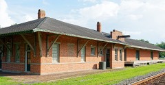 | Blackshear Depot | building | 2000 | 00000070 |
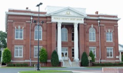 | Pierce County Courthouse | building | 1980 | 80001220 |
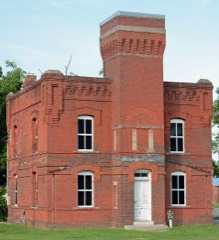 | Pierce County Jail | building | 1980 | 80001221 |
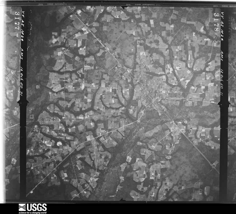
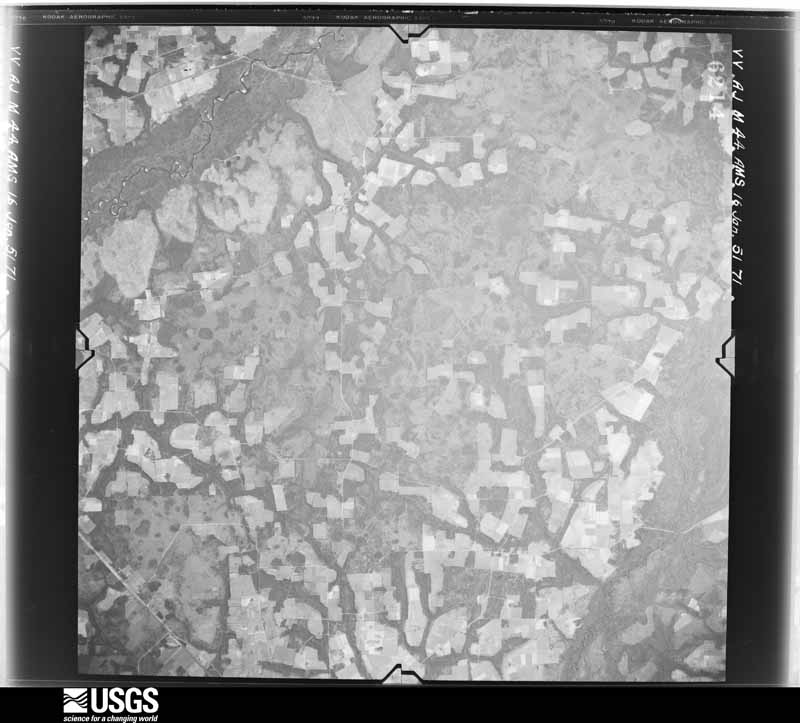
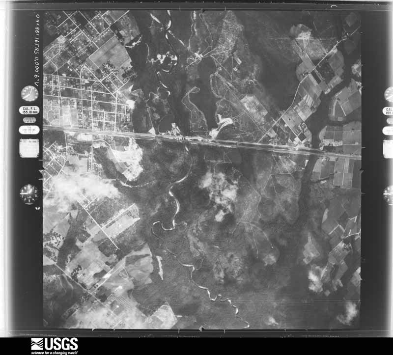
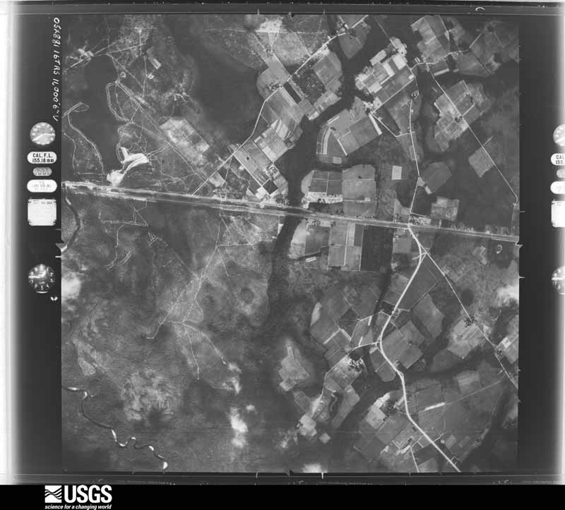
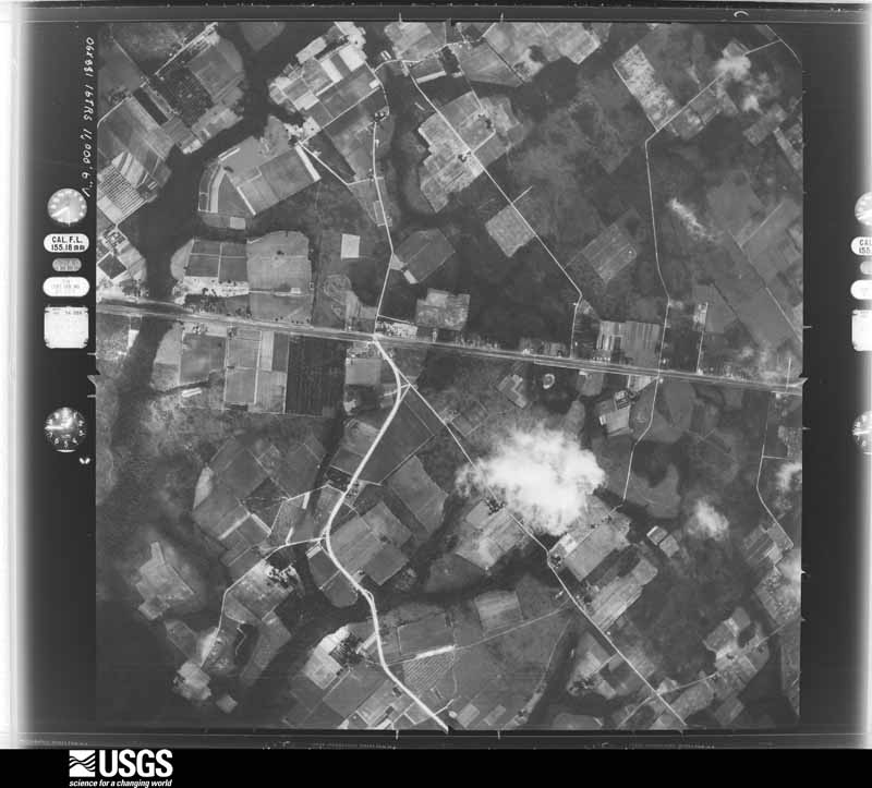
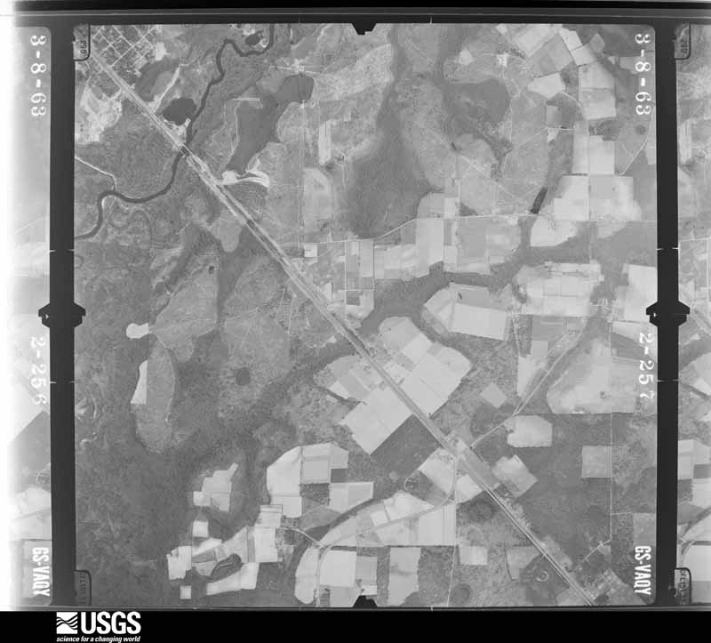
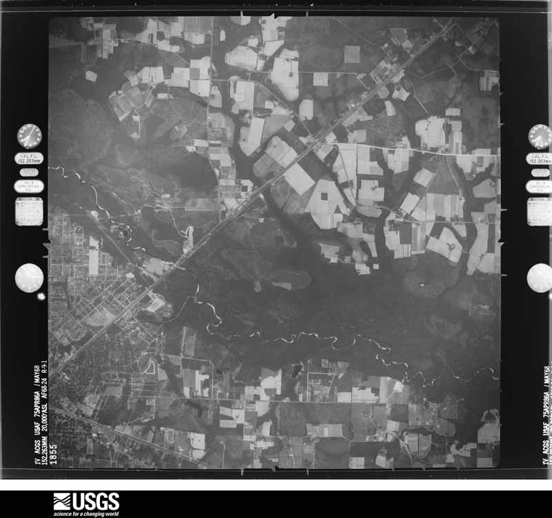
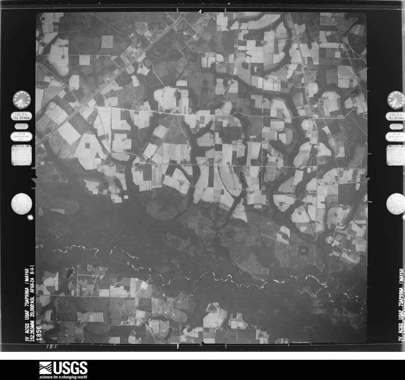
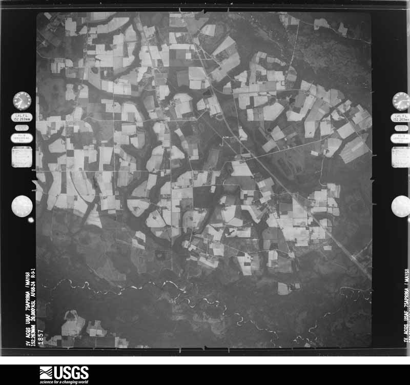
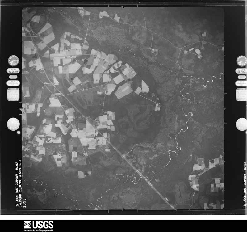
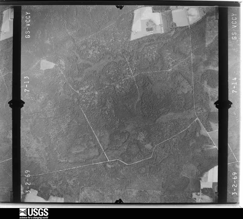
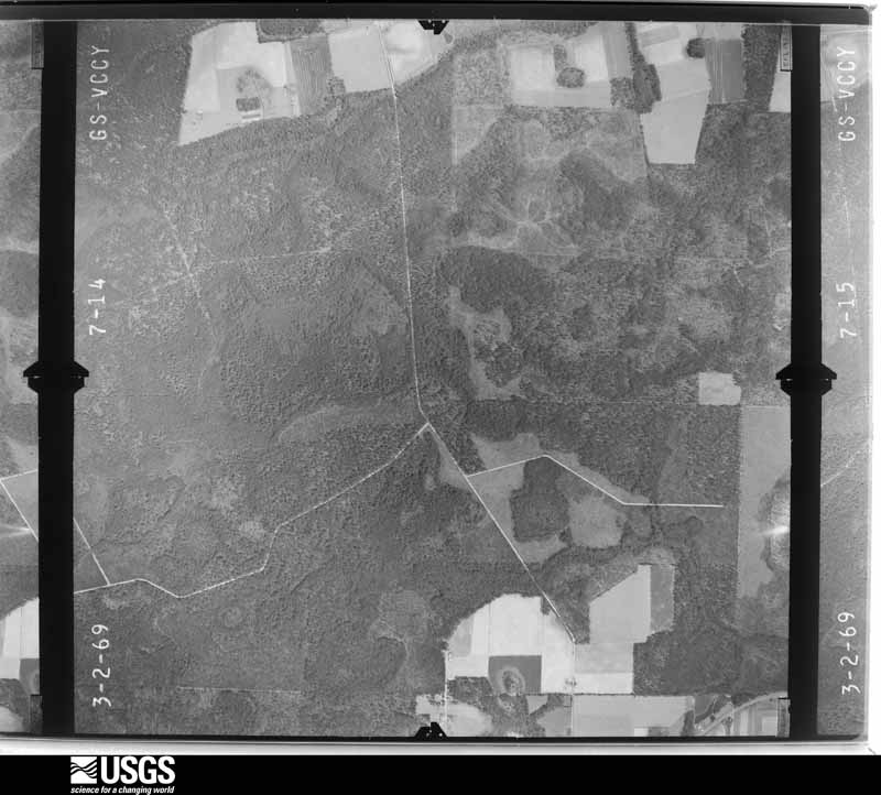
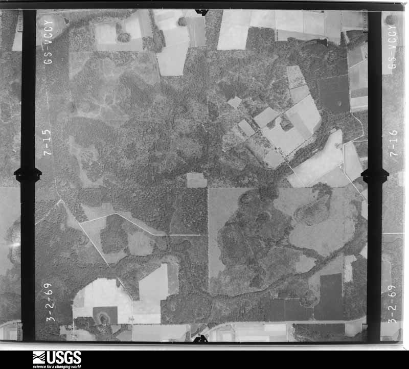
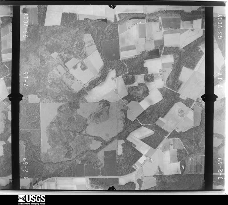
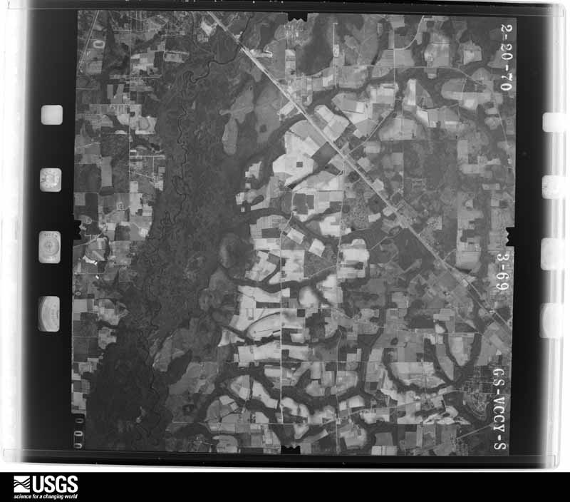
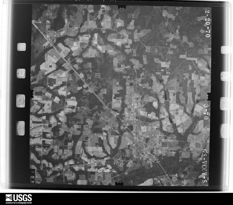
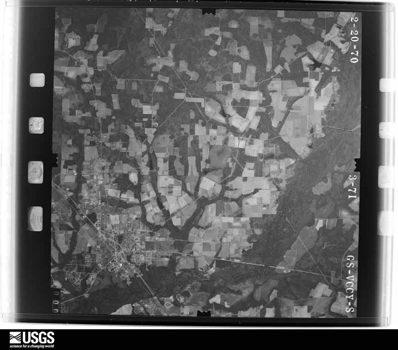
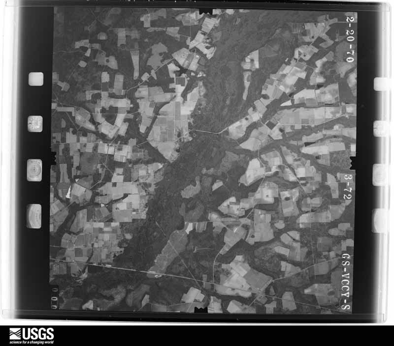
Flown by the U.S. Geological Survey between 1937 and 1989, the Aerial Photo Single Frames collection is the definitive mid-century view of the land: fields, roads and rivers as the camera saw them. The Survey holds 982 frames inside the rectangle that bounds this county; the 28 frames below were taken over the county itself, chosen across the decades of flights (at most four a year from that rectangle), so one flight cannot crowd out the rest. The full set is free to browse and download at EarthExplorer under the dataset Aerial Photo Single Frames.
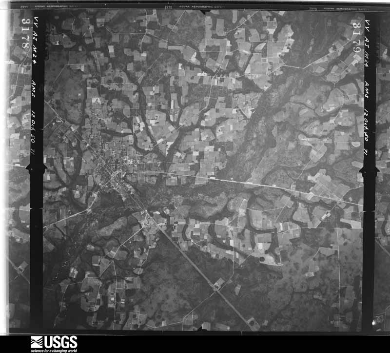
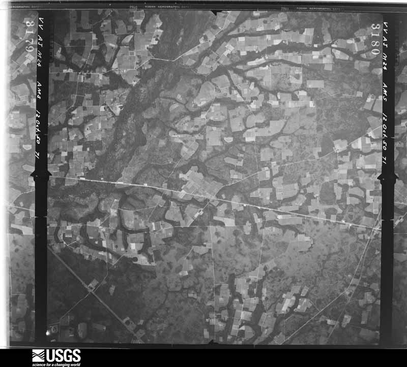
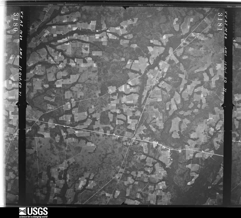


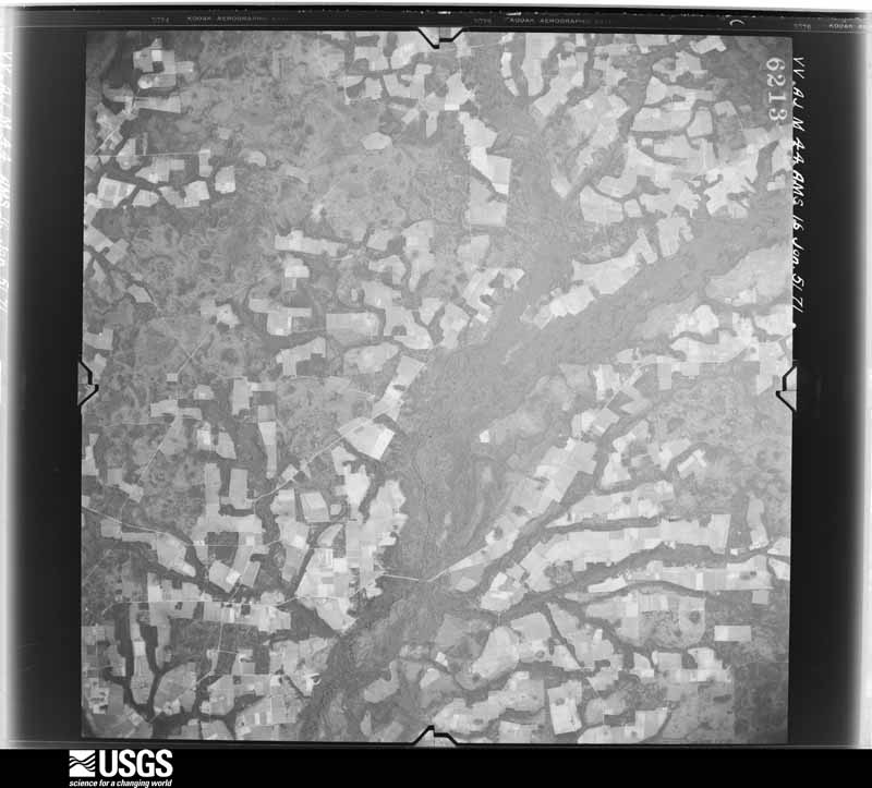
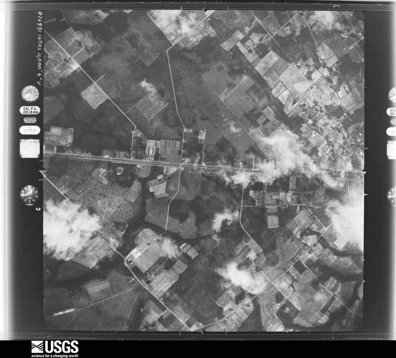
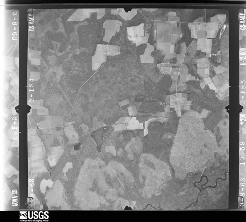
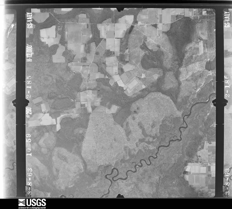
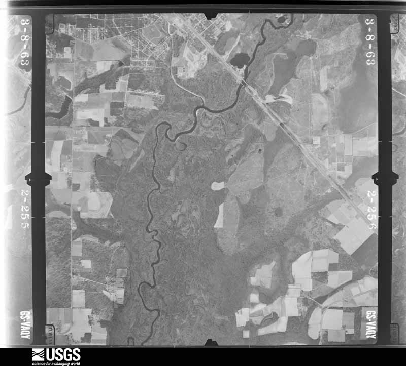
The thermometers that kept this county's weather, and the gages that measured the flow of its streams, as the federal records hold them. The extremes below are measured values from those records, not estimates.
Who lived here in 1950, one enumeration district at a time, as the Census Bureau described each district. Each row opens its official National Archives result, with Population Schedules and ED Maps available there.
Every wildfire the federal occurrence database records inside this county: 1,419 of them, burning about 6,265 acres. 114 started naturally and 220 were recorded as arson. Each settlement page carries the fires within five miles of it.
| Reported cause | Fires |
|---|---|
| Debris and open burning | 803 |
| Arson/incendiarism | 220 |
| Natural | 114 |
| Equipment and vehicle use | 80 |
| Missing data/not specified/undetermined | 72 |
| Railroad operations and maintenance | 41 |
| Recreation and ceremony | 38 |
| Misuse of fire by a minor | 35 |
| Smoking | 16 |
The five largest, by the area the report gives. Two of them were set deliberately.
| Date | Cause | Size | Reported by | Name on the report |
|---|---|---|---|---|
| 19 May 2001 | Railroad operations and maintenance | 1,477 acres | Georgia Forestry Commission | FY2001-WARE-137 |
| 12 February 2009 | Equipment and vehicle use | 214 acres | Georgia Forestry Commission | TRUDIE ROAD |
| 28 February 2011 | Arson/incendiarism | 191 acres | Georgia Forestry Commission | FY2011-PIERCE-073 |
| 26 April 2007 | Debris and open burning | 170 acres | Georgia Forestry Commission | not named |
| 24 March 2016 | Debris and open burning | 167 acres | Georgia Forestry Commission | FY2016-PIERCE-022 |
| 18 February 1996 | Arson/incendiarism | 128 acres | Georgia Forestry Commission | not named |
| 8 January 1992 | Debris and open burning | 123 acres | Georgia Forestry Commission | not named |
| 6 February 1996 | Debris and open burning | 68 acres | Georgia Forestry Commission | not named |
Every settlement page carries the fires within five miles of it - see the settlement index below.
The NOAA Storm Events Database holds 192 reports for this county, causing no deaths, 35 injuries and about $3,812,900 in recorded property damage. Each settlement page carries the reports that name it.
| Kind of event | Reports |
|---|---|
| Thunderstorm Wind | 116 |
| Hail | 38 |
| Tornado | 15 |
| Lightning | 8 |
| Heavy Rain | 8 |
| Flash Flood | 3 |
| Funnel Cloud | 2 |
| Flood | 2 |
The most serious of them, by death, then injury, then recorded damage. The accounts are quoted exactly as the forecast office filed them.
| When | Event | Place named | Harm | What the report says |
|---|---|---|---|---|
| March 1991 | Tornado (F1) | not stated | 20 hurt | no account filed |
| February 1986 | Tornado (F1) | not stated | 7 hurt, $250,000 | no account filed |
| November 1995 | Tornado (F1) | Bristol | 4 hurt, $300,000 | Totally destroyed a mobile home in Bristol. Damage several homes and businesses. Path was not continuous. |
| July 1991 | Thunderstorm Wind | not stated | 3 hurt | no account filed |
| June 1972 | Tornado (F1) | not stated | 1 hurt, $25,000 | no account filed |
| February 1986 | Tornado (F1) | not stated | $2,500,000 | no account filed |
| March 1976 | Tornado (F2) | not stated | $250,000 | no account filed |
| August 2010 | Lightning | Blackshear | $100,000 | Lightning directly hit the Pierce County Emergency Operations Tower. The strike traveled down the tower and severely damage the center's control box for the tower, its server, radio for both the county EMS and Pierce County jail as well as radios for dispatch stations and telephone lines. The strike also destroyed lightning arrestors which were designed to alleviate impacts from lightning stirkes. |
| October 2002 | Thunderstorm Wind | Offerman | $100,000 | Numerous trees down on north end of town. Numerous mobile homes and houses damaged. Several houses had roofs torn off them. |
| October 2002 | Thunderstorm Wind | Offerman | $60,000 | Large tree down on mobile home destroying it. Highway 84 and Railroad Lane. |
| October 1993 | Thunderstorm Wind | Blackshear | $50,000 | Thunderstorm winds collapsed a tractor shelter and caused numerous large trees to uproot along Georgia Highway 203. A couple of homes suffered structural damage from fallen trees. |
| January 1999 | Tornado (F0) | Blackshear | $35,000 | Seven residents with minor roof damage, church steeple damaged and a roof was blown off a silo. |
| July 2010 | Lightning | Aspinwall | $20,000 | Lightning struck the steeple of the Pleasant Hill Baptist Church in Patterson, Ga. The time of the event was based on radar. The strike split the fiberglass steeple in half, and major damage was done to the church's electrical systems including the sound system, video equipment, projectors and air conditioning. Damage was estimated in the $10's of thousands. |
| December 2006 | Thunderstorm Wind | Blackshear | $10,000 | Trees and power lines blown down in Blackshear and Patterson. |
| October 2002 | Thunderstorm Wind | Blackshear | $10,000 | Large trees down on houses. Highway 84 closed due to downed trees. |
| December 2002 | Tornado (F0) | Bristol | $10,000 | Trees and power poles snapped off near ground. Large trees down on power lines. |
| December 2002 | Thunderstorm Wind | Bristol | $10,000 | Large trees down across two mobile homes. Some structural damage. |
| September 1998 | Flash Flood | Countywide | $10,000 | Rainfall amounts of 5 to 7 inches from the remnants of Hurricane Georges caused the closing of numerous street and roads. |
| July 2000 | Tornado (F0) | Blackshear | $5,500 | Weak FO. Damages a shed and chicken-house. |
| June 2022 | Thunderstorm Wind | Aspinwall | $5,000 | Pierce county 911 was getting numerous calls of widespread wind damage and some structure damage due to thunderstorm winds. Trees and power lines were down across roads creating road closures in HWY 32 and Spatula Dr. A home had damage due to an utility pole line ripping the resident utility box pole. Power outages were also reported. Pierce county fire department responded to nine incidents involving downed trees and powerlines. A vehicle was struck by a tree while traveling on HWY 32. |
| August 2018 | Lightning | Homestead | $5,000 | Lightning caused electronics to surge at a home along Hacklebarney Road. The time of damage was based on radar the cost of damage was estimated. |
| December 2008 | Thunderstorm Wind | Homestead | $5,000 | Several trees were blown down along path of storm. Vinyl fencing blown down with some shingles ripped off a roof. Two trampolines were blown a considerable distance. |
| June 1994 | Thunderstorm Wind | Blackshear | $5,000 | Several large trees and power lines were downed by thunder- storm winds. |
| June 1994 | Thunderstorm Wind | Blackshear | $5,000 | Several large trees were downed by thunderstorm winds along Georgia Highway 15. |
| January 1999 | Thunderstorm Wind | Blackshear | $4,500 | A three block area had large trees and power lines were blown down. |
| July 2024 | Thunderstorm Wind | Blackshear | $4,000 | The EM reported power lines down | and roof damage to building located along | West Carter Ave and Gordon Street near | Downtown Blackshear Georgia. The time of damage was based | off Radar. The cost of damage was unknown, but it was estimated for inclusion of the event in Storm Data. |
| June 1998 | Thunderstorm Wind | Blackshear | $3,000 | Large trees and power lines were blown down. |
| July 1998 | Thunderstorm Wind | Bristol | $2,500 | Large trees and power lines were blown down. |
| July 1998 | Thunderstorm Wind | Blackshear | $2,500 | Large trees and power lines were blown down. |
| June 2022 | Lightning | Homestead | $2,000 | A house was damaged due to a lightning strike. Time was estimated by radar. |
| May 2021 | Thunderstorm Wind | Patterson Strip Arpt | $2,000 | Multiple trees were blown down with some power lines between Jessica Lane and Ralston Road, just south of Patterson. The time of the event was based on radar. The cost of damage was unknown, but it was estimated for the inclusion of the event in Storm Data. |
| May 2020 | Thunderstorm Wind | Blackshear | $2,000 | Several trees were blown down near Old Alma Road and West Horshoe Road. The time of damage was based on radar. The cost of damage was unknown, but it was estimated for inclusion in Storm Data. |
| August 2018 | Lightning | Homestead | $2,000 | A lightning strike caused a structure fire along Sandy Bottom Road. The time of damage was based on lightning imagery. The cost of damage was unknown but it was estimated for the inclusion of the event in Storm Data. |
| April 2012 | Thunderstorm Wind | Bristol | $2,000 | Trees were reported blown down with damage to a shelter off of Highway 121. Time of event based on radar. The cost of damage was estimated. |
| June 2010 | Thunderstorm Wind | Blackshear | $2,000 | Several trees and power lines were blown down in Blackshear. The cost of debris removal was estimated. |
| July 1995 | Thunderstorm Wind | Bristol | $2,000 | Thunderstorm winds uprooted several trees and blew down power lines. |
| May 1998 | Thunderstorm Wind | Blackshear | $1,500 | Large trees were blown down. |
| June 1998 | Thunderstorm Wind | Homestead | $1,500 | Large trees and power lines were blown down. |
| May 1998 | Thunderstorm Wind | Blackshear | $1,500 | Large trees were blown down. |
| April 2015 | Lightning | Blackshear | $1,000 | Lightning damaged a transformer off of College Avenue. The cost of damage was estimated for the event to be included in Storm Data. |
| May 2002 | Thunderstorm Wind | Bristol | $1,000 | Trees down on road and power lines. |
| February 1996 | Thunderstorm Wind | Patterson | $1,000 | no account filed |
| June 1997 | Thunderstorm Wind | Blackshear | $800 | Large trees were blown down. |
| February 2016 | Thunderstorm Wind | Bonnyman | $500 | A tree was blown down on a golf course. The time of damage was estimated based on radar and the cost of property damage was estimated. |
| July 2001 | Thunderstorm Wind | Blackshear | $500 | Trees blown down along SR-203. |
| March 2000 | Thunderstorm Wind | Bonnyman | $500 | Large trees were blown down. |
| June 2000 | Thunderstorm Wind | Blackshear | $500 | Large trees and power lines were blown down. |
| June 1999 | Thunderstorm Wind | Bristol | $500 | Large trees and power lines were blown down. |
| June 1998 | Thunderstorm Wind | Blackshear | $500 | Large trees were blown down. |
| June 1996 | Thunderstorm Wind | Blackshear | $500 | no account filed |
| June 2018 | Thunderstorm Wind | Blackshear | $100 | Large tree limbs were blown down along Hobbs Street. The time of damage was based on radar. The cost of damage was unknown, but it was estimated for the inclusion of the event in Storm Data. |
| April 2025 | Thunderstorm Wind | Patterson | - | Pierce county 911 reported powerlines down along U.S. Highway 84 in the vicinity of Patterson. The time of damage was based on radar. |
| April 2025 | Thunderstorm Wind | Mershon | - | A large tree was blown down and blocked | Scuffletown Road, about 1/4 mile northwest | of Highway 15. The time of damage was based on radar. |
| June 2025 | Thunderstorm Wind | Patterson Strip Arpt | - | A large tree down and two powerlines were blown down. The time of damage was based on radar. |
| June 2025 | Thunderstorm Wind | Patterson Strip Arpt | - | Multiple trees and powerlines were blown down. The time of damage was based on radar. The location of damage was approximated. |
| June 2025 | Heavy Rain | Homestead | - | The Mesonet station GW3621 BLACKSHEAR measured 2.13 inches of rainfall. Rainfall began at 425 PM. |
| August 2025 | Heavy Rain | Blackshear | - | HADS station ABAG1Alabaha River measured 2.36 inches of rainfall in the past hour. |
| January 2024 | Thunderstorm Wind | Blackshear | - | A carport was blown off. The time of damage was based on radar. |
| August 2024 | Heavy Rain | Homestead | - | A public rain gauge south of Blackshear near the Satilla River measured a storm total | rainfall amount of 3.27 inches, mainly | during the late afternoon hours. |
| November 2024 | Heavy Rain | Homestead | - | Mesonet station GW3621 BLACKSHEAR measured | over 4.61 inches of rain in just over an | hour. |
The Survey's mineral resources record lists 3 workings inside this county. 2 still produce and 1 is closed or unrecorded. Each settlement page carries the workings within five miles of it.
| Commodity | Workings |
|---|---|
| Sand and Gravel, Construction | 3 |
The least common of them first, because a county's hundredth gravel pit says nothing its first ten did not.
| Where | Site | Commodity | Status | Recorded |
|---|---|---|---|---|
| Crawford Pit | Sand and Gravel, Construction | Producer | ||
| Mcneal Pit | Sand and Gravel, Construction | Past Producer | ||
| Waycross Pit | Sand and Gravel, Construction | Producer |
Named settlements recorded in the Geographic Names Information System, each with the topographic sheets covering it. Villages, hamlets and abandoned places alike. Each is shown with the nearest named watercourse or landform and the survey quadrangle it falls on. The 1 place that was also surveyed for fire insurance comes first, with the number of atlases and photographs held for them.
Blackshear census division · 31516 · On Baxter Branch · Blackshear East quadrangle
8 sheets, 1953 to 1988
Fire insurance: 7 atlases
Bristol census division · 31518 · On Crooked Creek · Patterson quadrangle
7 sheets, 1953 to 1988
Patterson census division · 31557 · On Long Branch · Blackshear East quadrangle
8 sheets, 1953 to 1988
Patterson census division · 31557 · On Otter Creek · Patterson SE quadrangle
8 sheets, 1953 to 1988
No longer a settlement
The vanished settlements of Pierce County: the places named above that are no longer on the map.
8 topographic sheets and 7 fire insurance atlases, 1885 to 1939