 Block
From the record
7 National Register listings published here.
Sources: the National Register database, National Park Service
60 topographic sheets cover 21 settlements here, and 7 properties are on the National Register of Historic Places.
7 National Register listings published here.
Sources: the National Register database, National Park Service
Every property in this county listed on the National Register of Historic Places, with the year it was listed and the federal nomination document.
| Photograph | Property | Type | Listed | Reference |
|---|---|---|---|---|
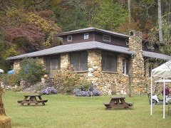 | Hambidge Center Historic District | district | 1982 | 82000146 |
 | Asbury and Sallie Hodgson House | building | 2011 | 11000579 |
| James Henry and Rachel Kilby House | building | 2005 | 05000078 | |
| Pine Tree Tea Room | building | 2025 | 100011455 | |
| William E. and Sarah Dillard Powell House | building | 2008 | 07001337 | |
 | Tallulah Falls Depot | building | 1988 | 88000607 |
 | York House | building | 1982 | 82002459 |
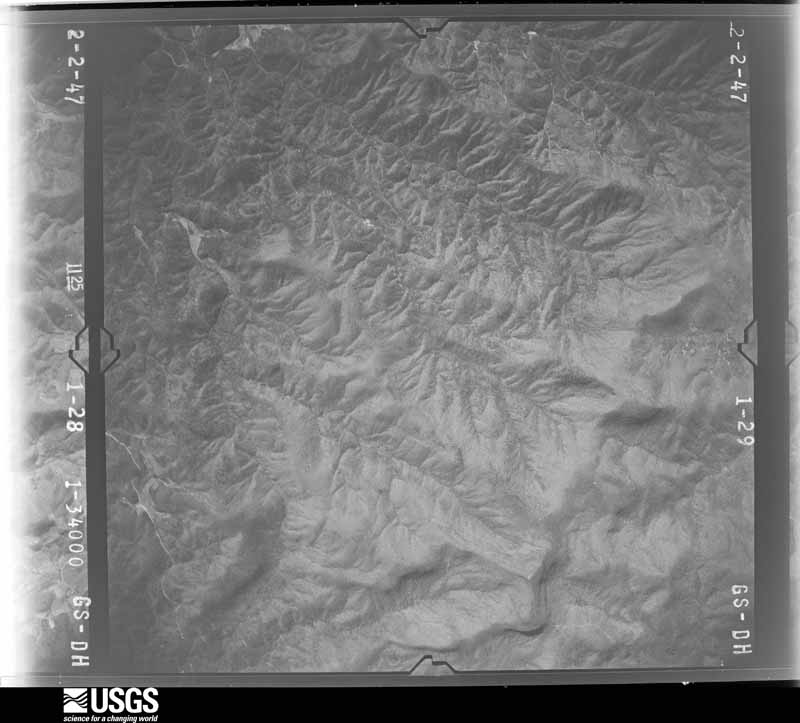
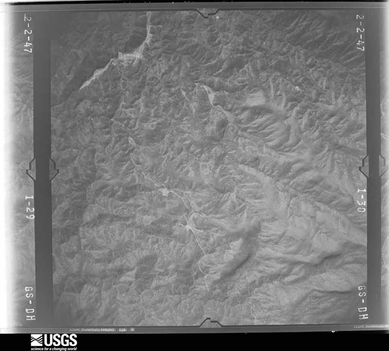
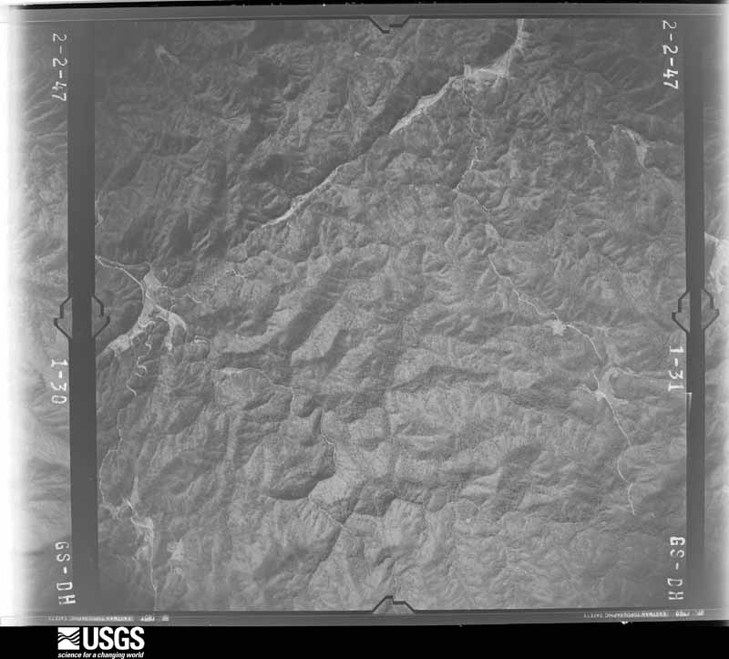
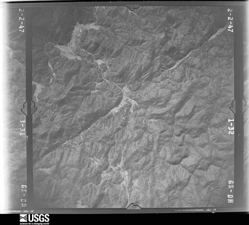
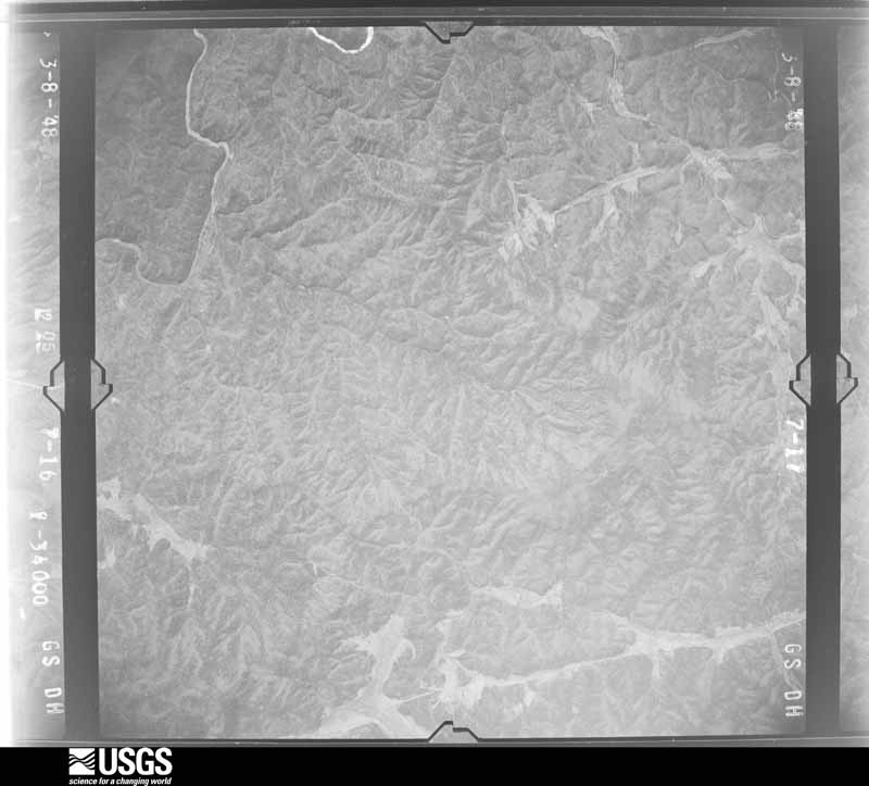
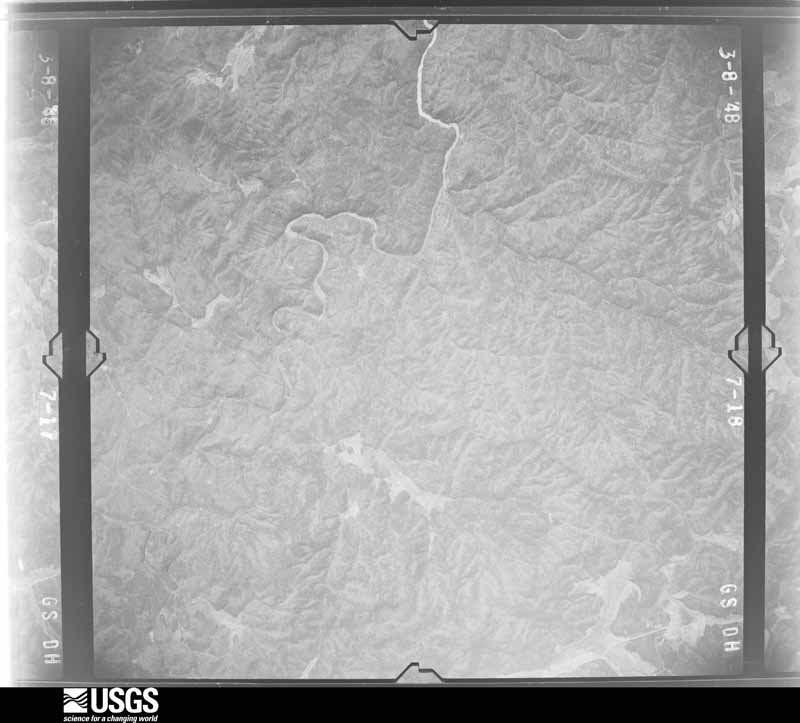
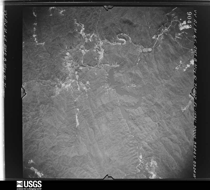
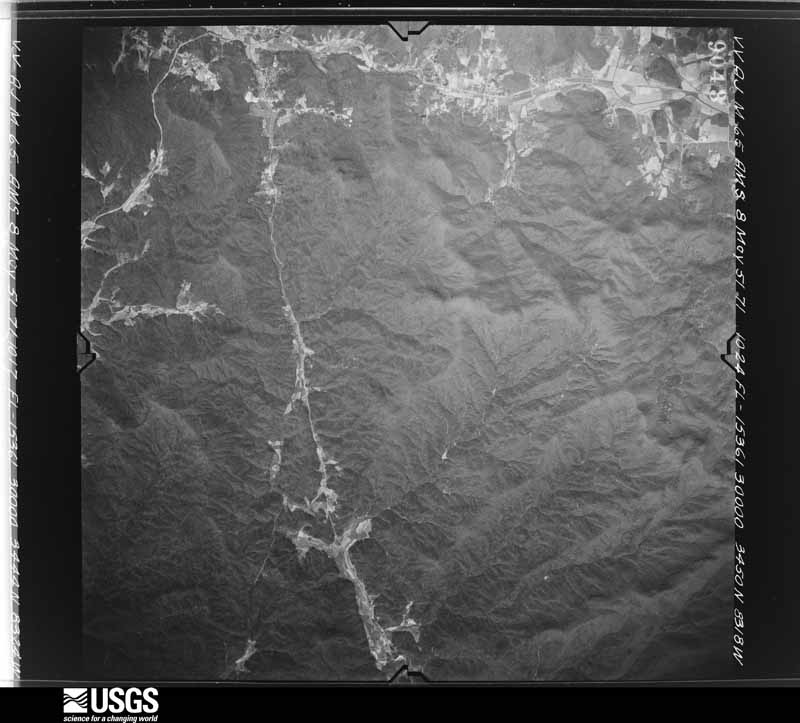
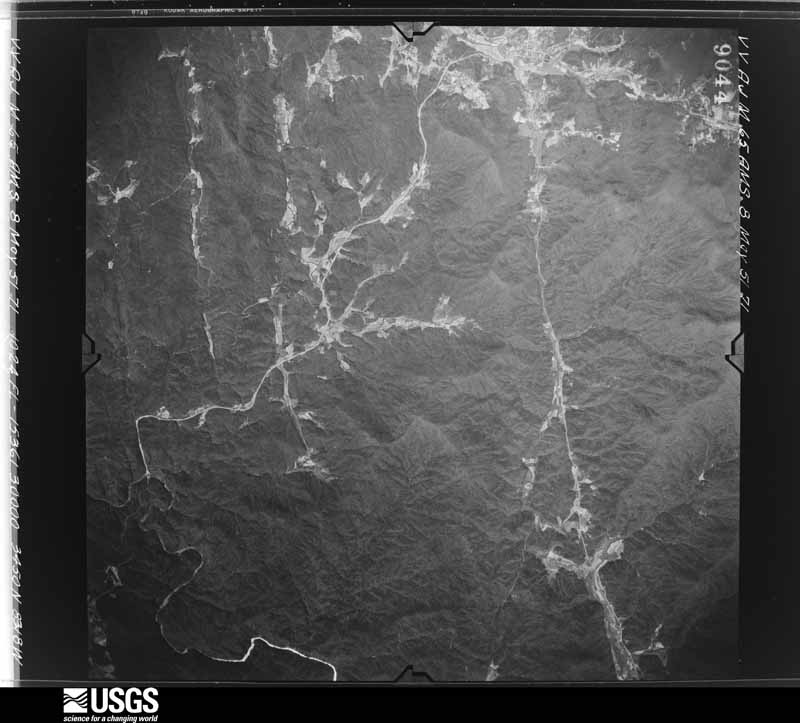
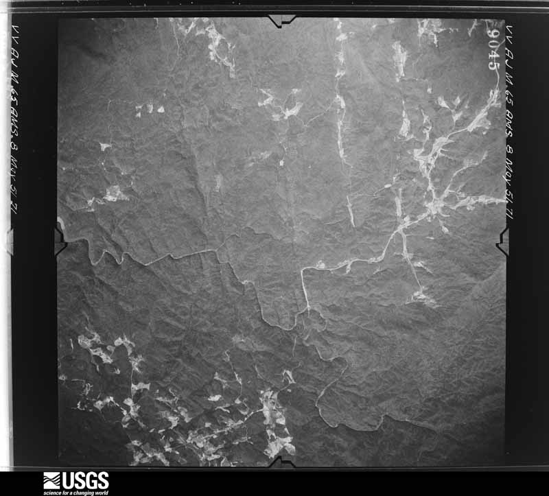
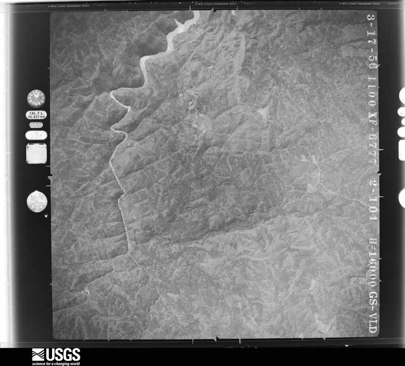
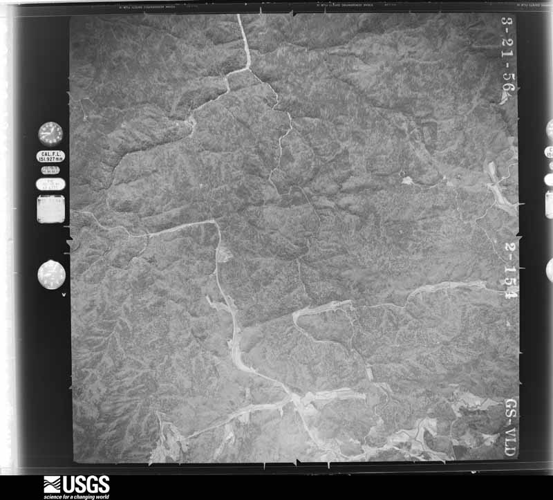
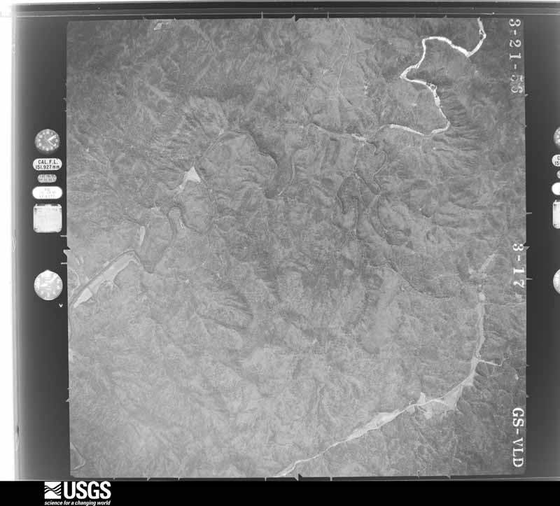
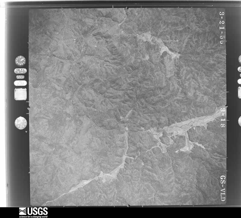
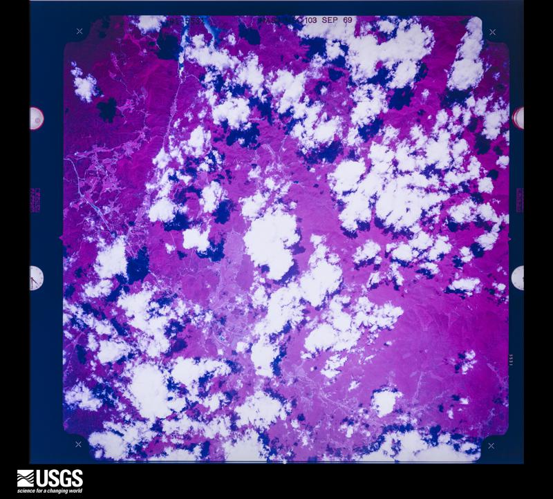
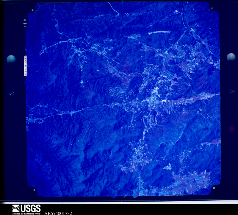
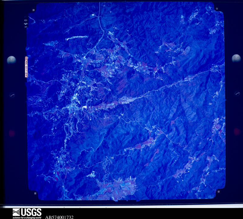
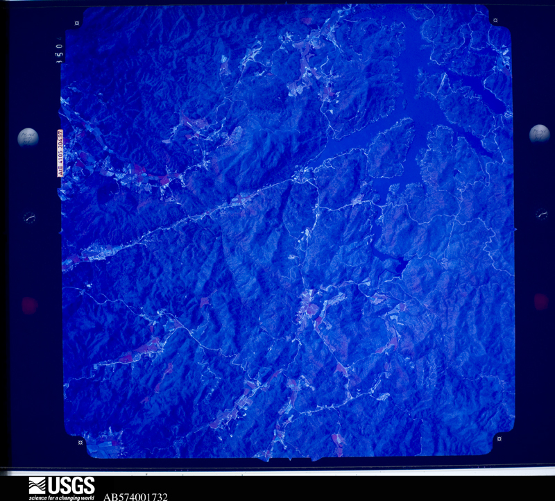
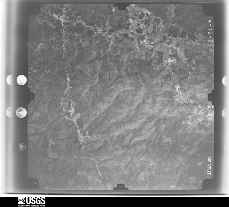
Flown by the U.S. Geological Survey between 1937 and 1989, the Aerial Photo Single Frames collection is the definitive mid-century view of the land: fields, roads and rivers as the camera saw them. The Survey holds 727 frames inside the rectangle that bounds this county; the 34 frames below were taken over the county itself, chosen across the decades of flights (at most four a year from that rectangle), so one flight cannot crowd out the rest. The full set is free to browse and download at EarthExplorer under the dataset Aerial Photo Single Frames.








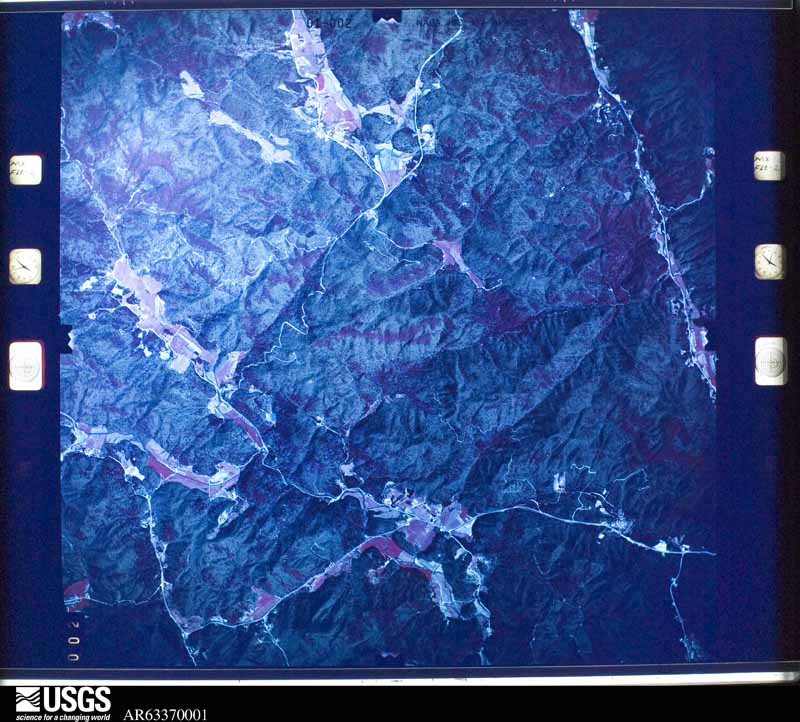
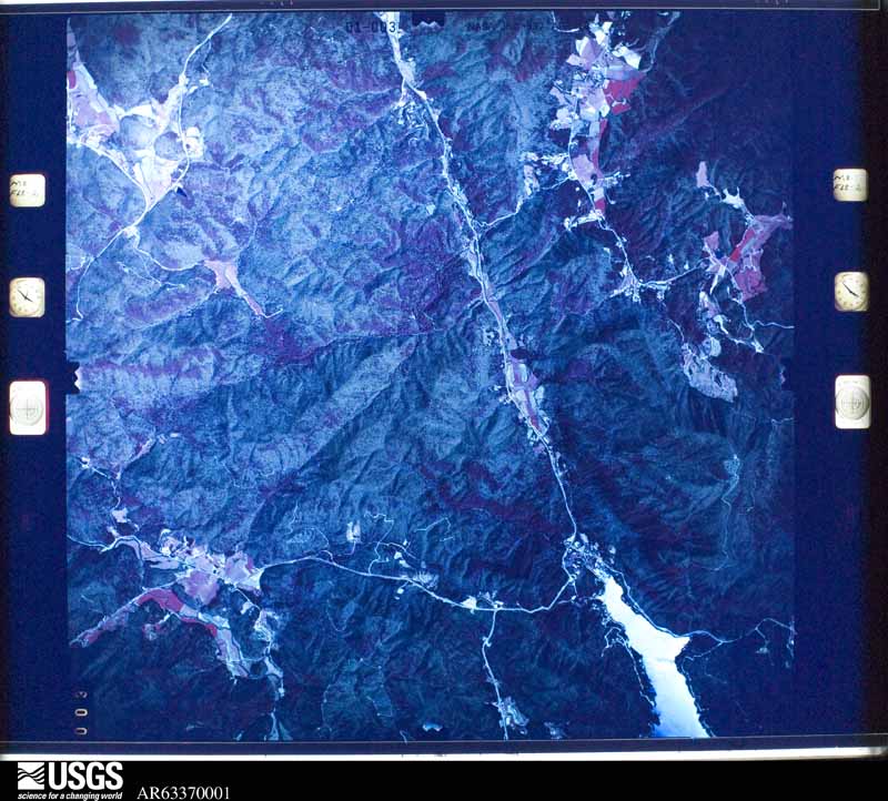
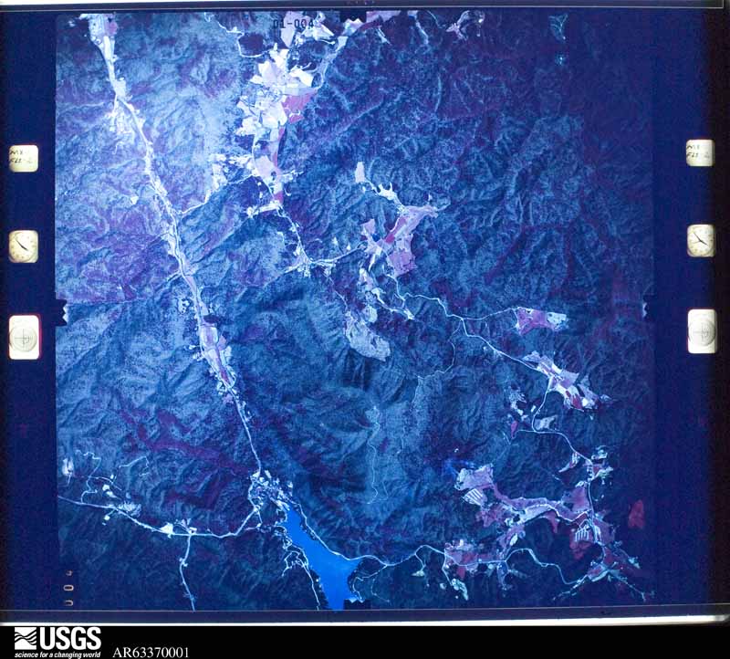
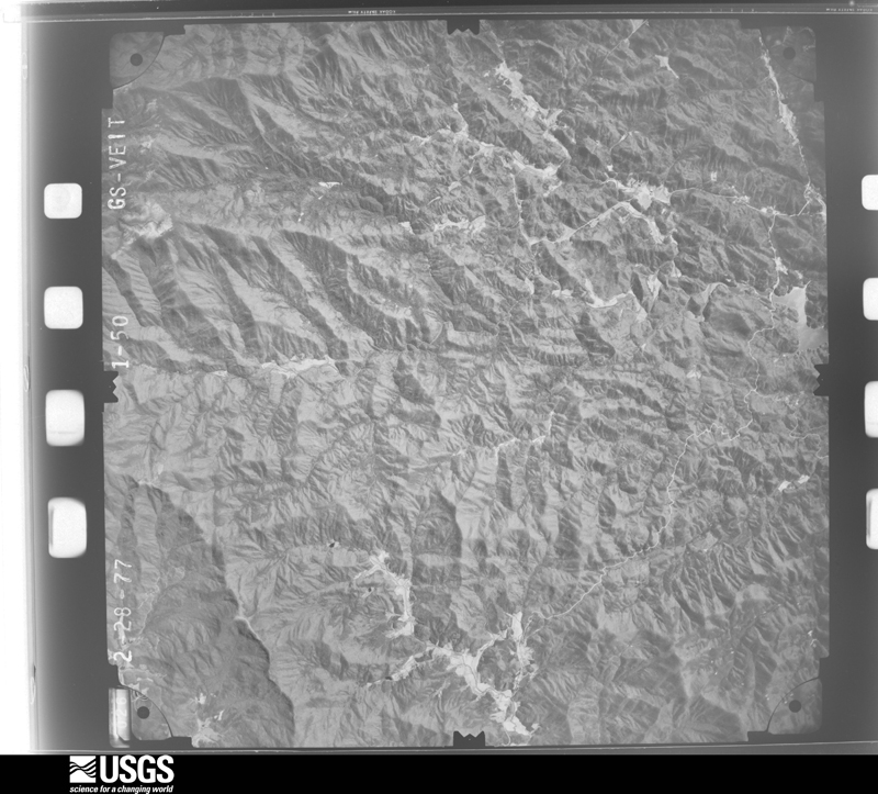
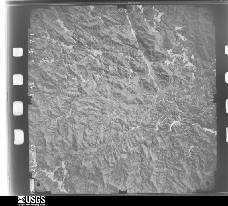
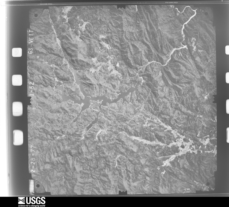
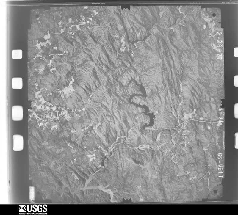
The thermometers that kept this county's weather, and the gages that measured the flow of its streams, as the federal records hold them. The extremes below are measured values from those records, not estimates.
Who lived here in 1950, one enumeration district at a time, as the Census Bureau described each district. Each row opens its official National Archives result, with Population Schedules and ED Maps available there.
Every wildfire the federal occurrence database records inside this county: 431 of them, burning about 30,507 acres. 20 started naturally and 127 were recorded as arson. Each settlement page carries the fires within five miles of it.
| Reported cause | Fires |
|---|---|
| Debris and open burning | 189 |
| Arson/incendiarism | 127 |
| Missing data/not specified/undetermined | 42 |
| Natural | 20 |
| Power generation/transmission/distribution | 14 |
| Other causes | 9 |
| Misuse of fire by a minor | 8 |
| Recreation and ceremony | 7 |
| Equipment and vehicle use | 7 |
| Smoking | 7 |
| Fireworks | 1 |
The five largest, by the area the report gives. Five of them were set deliberately.
| Date | Cause | Size | Reported by | Name on the report |
|---|---|---|---|---|
| 9 November 2016 | Arson/incendiarism | 24,725 acres | Chattahoochee-Oconee National Forest | ROCK MOUNTAIN |
| 8 July 1993 | Natural | 1,050 acres | Chattahoochee-Oconee National Forest | BIG MOUNTAIN |
| 11 November 2016 | Arson/incendiarism | 889 acres | Chattahoochee-Oconee National Forest | TIMBER RIDGE |
| 9 November 2016 | Arson/incendiarism | 500 acres | Georgia Forestry Commission | FY2017-RABUN-005 |
| 7 April 2002 | Arson/incendiarism | 275 acres | Chattahoochee-Oconee National Forest | MARCUS MTN. #1 |
| 26 January 2014 | Missing data/not specified/undetermined | 214 acres | Chattahoochee-Oconee National Forest | OAKEY TOP |
| 16 April 2006 | Power generation/transmission/distribution | 180 acres | Chattahoochee-Oconee National Forest | HWY 28 |
| 9 November 2016 | Arson/incendiarism | 165 acres | Chattahoochee-Oconee National Forest | BURRELL |
Every settlement page carries the fires within five miles of it - see the settlement index below.
The NOAA Storm Events Database holds 207 reports for this county, causing 2 deaths, 1 injury and about $6,332,000 in recorded property damage. Each settlement page carries the reports that name it.
| Kind of event | Reports |
|---|---|
| Thunderstorm Wind | 109 |
| Hail | 61 |
| Flash Flood | 19 |
| Flood | 7 |
| Tornado | 6 |
| Heavy Rain | 2 |
| Lightning | 2 |
| Dust Devil | 1 |
The most serious of them, by death, then injury, then recorded damage. The accounts are quoted exactly as the forecast office filed them.
| When | Event | Place named | Harm | What the report says |
|---|---|---|---|---|
| April 2011 | Tornado (EF3) | Persimmon | 1 killed, $5,000,000 | The path of an intense tornado, which was likely the continuation of the Habersham County tornado, was found in Rabun County beginning in the Lake Burton area. Damage was first found near a marina on Wildcat Creek Cove. A fire department building near this location was destroyed. As the tornado moved northeast across Moccasin Creek, it intensified and widened to around one half mile. Several large lake homes were completely destroyed in this area. Another home slid off its foundation into the lake. The tornado continued northeast across the Moccasin Creek peninsula and over the main channel of Lake Burton. Severe damage was observed again along the north shore of Timpson Cove, roughly paralleling Meeting House Mountain Rd. Several large luxury homes along the shore were destroyed, while many others received major structural damage. One 83-year-old man was killed in one of these homes. In addition to the major structural damage, thousands of trees were blown down in the Lake Burton area. The tornado weakened as it crossed highway 76 just northeast of Timpson Cove, proceeding to Black Rock State Park, where hundreds of additional trees were blown down. As the tornado continued northeast from the state park, it intensified slightly as it moved over a residential area in Mountain City. Half of the roof was blown off a condominium building, while surrounding homes had minor to moderate roof damage. The tornado crossed highway 441 just north of Mountain City and appeared to lift in the Oakey Mountain area. The tornado was very unusual not only for its strength but also for the rugged terrain in which it occurred. It was the first tornado to hit Rabun County since 1983 and the first F3 or EF3 tornado in the county's recorded history. |
| July 2022 | Lightning | Mountain City | 1 killed | Emergency manager reported a lightning strike killed a 39-year-old construction worker on Blacks Creek Dr. |
| August 2004 | Thunderstorm Wind | Clayton | 1 hurt, $2,000 | A couple of trees were blown down. One tree fell on a van, causing minor injuries to the driver. |
| May 2010 | Lightning | Checkero | $500,000 | Lightning struck a 7000-square foot lodge on Tuts Mountain Rd, destroying the structure. |
| October 1983 | Tornado (F1) | not stated | $250,000 | no account filed |
| June 1982 | Tornado (F1) | not stated | $250,000 | no account filed |
| April 1974 | Tornado (F2) | not stated | $250,000 | no account filed |
| May 1973 | Tornado (F1) | not stated | $25,000 | no account filed |
| July 2023 | Thunderstorm Wind | Clayton | $20,000 | County comms reported multiple trees blown down in and around Clayton, including on Stornoway Dr, Warwoman Rd, and Earls Ford Rd. A tree fell on a home on Stornoway Dr. |
| October 2020 | Flash Flood | Mountain City | $10,000 | Emergency manager reported flash flooding developed across portions of Rabun County after 5.5 to 7 inches of rain fell across much of the county in around 24 hours. The most significant flooding occurred along the Tallulah River, especially just downstream of Mathis Dam, where inundation occurred along Shady Ln, a portion of Old 441, and Mathis Dam Rd. Multiple other roads were reported as flooded and closed throughout the county, including Highway 15 in the Clayton area. |
| July 2015 | Thunderstorm Wind | Dillard | $5,000 | County comms reported a tree blown down on a vehicle on White Oak Ln. |
| August 2002 | Flood | Dillard | $5,000 | Water flooded the parking lot at a supermarket, and some water entered the store. |
| September 2024 | Flash Flood | Wiley | $2,000 | Emergency management reported flash flooding developed along tributaries of the Tallulah River in south central Rabun County after 8 to 12 inches of rain fell over a couple of days. Ramey Rd, Shady Ln, and Old Highway 441 were among the roads that were inundated by overflowing creeks. |
| February 2020 | Flash Flood | Rabun Gap | $2,000 | County comms reported multiple roads flooded and closed throughout Rabun County due to a combination of small stream and poor drainage flooding after 4.5 to 5.5 inches of rain fell in about an 18 hour period. At least half of that fell in less than six hours during the morning of the 6th. |
| May 2018 | Flash Flood | Wiley | $2,000 | EM reported that minor flash flooding developed along the Tallulah River downstream of Lake Burton due to dam releases caused by high water levels after 2 to 5 inches of rain fell across western Rabun County throughout the 29th and ealry part of the 30th. A few roads along the river became flooded, including Shady Lane in the Lakemont area. Flooding was also reported elsewhere in the county. |
| January 2026 | Flash Flood | Clayton | $1,000 | Emergency manager reported flash flooding developed across portions of central and southern Rabun County after 4 to 5.5 inches of rain fell across the area in around 24 hours, with around half of that falling in around six hours during the morning of the 10th. Impacts began with an embankment failure along Highway 76 just west of Clayton, where a lane of the highway was covered and a vehicle briefly trapped. Stekoa Creek overflowed its banks just south of Clayton, with water inundating Rickman Airfield Rd. Chechero Creek also overflowed onto Country Club Dr near Highway 76. Additionally, minor flooding was reported in spots along Tiger Creek from the headwaters to its confluence with the Tallulah River. Portions of Old Highway 441 were inundated, including at Shady Lane. |
| September 2022 | Flash Flood | Wiley | $1,000 | County comms reported flash flooding developed along tributaries of the Tallulah River in south central Rabun County ater 1 to 2.5 inches of rain fell over the course of a few hours. This was in addition to the 3 to 5 inches that had fallen over the area since the 2nd. Ramey Rd, Shady Ln, and Old Highway 441 were inundated by overflowing creeks. |
| October 2021 | Flood | Lakemont | $1,000 | Emergency management reported flooding developed along Tiger Creek after 3 to 5 inches of rain fell across southern Rabun County in around 24 hours, with about half of that falling between midnight and sunrise on the 7th. A few roads were inundated and closed, including Old Highway 441, Shady Ln, and Brandon Mill Rd. |
| February 2020 | Flood | Dillard | $1,000 | Although rainfall tapered off across Rabun County throughout the afternoon, high water conditions persisted across the county due to runoff from the excessive rainfall earlier in the day. |
| October 2020 | Flood | Mountain City | $1,000 | Although rain tapered off across Rabun County during the morning of the 11th, emergency manager reported lingering runoff resulted in multiple roads remaining inundated and closed, especially along the Tallulah River downstream of Mathis Dam. |
| May 2018 | Flood | Wiley | $1,000 | EM reported that minor flooding continued along the Tallulah River downstream of Lake Burton well after heavy rain ended during the early morning hours of the 30th. A few roads remained flooded along the river, including Shady Lane in the Lakemont area. Flooding also continued elsewhere in the county. |
| December 2018 | Flood | Burton | $1,000 | Spotter reported Stekoa Creek overflowed its banks and flooded part of Rickman Airfield Rd. Public reported a private bridge over She Creek was washed out off She Creek Ln. |
| September 2024 | Flood | Wiley | $500 | Although heavy rain ended across Rabun County by early afternoon, flooding continued along the Tallulah River basin, primarily impacting smaller tributaries. Streams had largely returned to their banks by evening. |
| December 2015 | Flash Flood | Dillard | $500 | After more than 3 inches of rain fell across the northeast Georgia mountains in just a few hours, public reported Mud Creek was overflowing its banks in the Sky Valley community, with Sky Valley Way being impassable. |
| July 1995 | Thunderstorm Wind | Mountain City | $500 | Thunderstorm winds blew down three trees in city limits, marble-size hail was also reported. |
| July 1995 | Thunderstorm Wind | Sky Valley | $500 | Thunderstorm winds knocked several trees down in city limits. |
| March 2026 | Thunderstorm Wind | Tiger | - | Utility company reported trees blown down on power lines and causing an outage along Joe Davis Rd. |
| April 2025 | Thunderstorm Wind | Grove | - | County comms reported a tree and power lines blown down on East Wolf Creek Rd. Another tree was blown down on Highway 441 north of Clayton around the same time. |
| April 2025 | Thunderstorm Wind | Tiger | - | Public reported (via Social Media) trees blown down. |
| June 2025 | Thunderstorm Wind | Checkero | - | Public reported (via Social Media) several large limbs blown down in the Clayton area. |
| June 2025 | Hail | Clayton | - | Public reported 3/4 inch hail. |
| May 2024 | Thunderstorm Wind | Persimmon | - | County comms reported at least five trees along with a few power lines blown down. |
| July 2024 | Thunderstorm Wind | Clayton | - | County comms reported trees blown down in Clayton and vicinity and a tree down at Warwoman Rd and Earls Ford Rd. Several power lines reported down in the area as well. |
| July 2024 | Thunderstorm Wind | Dillard | - | County comms reported trees blown down on Highway 246 and on Crusher Run Rd. |
| December 2024 | Thunderstorm Wind | Burton | - | County comms reported trees and power lines blown down, with a transformer damaged on Stekoa Falls Rd. |
| January 2023 | Hail | Burton | - | A spotter and the public reported between quarter and half-dollar sized hail near Clayton. Some roads were covered. |
| March 2023 | Thunderstorm Wind | Mountain City | - | County comms reported trees blown down in Mountain City and in Sky Valley. |
| June 2023 | Thunderstorm Wind | Wiley | - | County comms and power company reported multiple trees and power lines blown down with widespread power outages across the southern part of Rabun County. |
| August 2023 | Thunderstorm Wind | Persimmon | - | County comms reported numerous trees and power lines blown down across Rabun County. A few trees blocked roadways. |
| July 2022 | Thunderstorm Wind | Burton | - | Public reported five trees blown down along Jim Wallace Lane. |
| August 2022 | Thunderstorm Wind | Lakemont | - | County comms reported a tree blown down along Seed Lake and another tree down near Lake Burton. |
| August 2022 | Thunderstorm Wind | Lakemont | - | County comms reported trees were blown down on power lines and blocking the road on Lake Rabun Rd. Another tree was down on Brandon Mill Rd. |
| August 2022 | Thunderstorm Wind | Pine Mtn | - | County comms reported trees were blown down on power lines and blocking Earls Ford Rd. |
| June 2022 | Hail | Checkero | - | Public reported (via Social Media) quarter size hail along East Wolf Creek Rd. |
| June 2022 | Hail | Lakemont | - | Emergency manager reported quarter size hail in the Lakemont area. |
| June 2022 | Hail | Dillard | - | Public reported (via Social Media) nickel to quarter sized hail along Spy Glass Circle. |
| August 2021 | Thunderstorm Wind | Persimmon | - | Spotter reported multiple trees blown down on Darom Ln. |
| August 2021 | Tornado (EF0) | Checkero | - | A brief, weak tornado touched down along Warwoman road in northeast Rabun County. Several trees were uprooted on the northern side of the road, with damage continuing into the woods north of the road. It was not possible to determine how far into the woods the damage extended due to the rugged terrain and inability to access private property, so the path is likely longer than presented. |
| January 2020 | Thunderstorm Wind | Persimmon | - | County comms reported numerous trees blown down throughout Rabun County. |
| April 2020 | Hail | Lakemont | - | Spotter reported quarter size hail. |
| April 2020 | Hail | Clayton | - | Multiple public reports of quarter size hail in the Clayton area. |
| August 2020 | Thunderstorm Wind | Rabun Gap | - | County comms reported multiple trees and power lines blown down along Wolf Fork Rd. |
| May 2019 | Thunderstorm Wind | Mountain City | - | County comms reported multiple trees blown down in the Mountain City area. |
| October 2019 | Thunderstorm Wind | Burton | - | County comms reported numerous trees and power lines blown down across the county. |
| March 2018 | Hail | Mountain City | - | Public reported (via Social Media) mostly pea-to-dime size hail, with a few as large as quarters in the Mountain City area. |
| August 2018 | Thunderstorm Wind | Lakemont | - | County comms reported trees blown down along Highway 15 near Tallulah Gorge. |
| June 2018 | Thunderstorm Wind | Persimmon | - | County comms reported numerous trees and power lines blown down across the county. |
| June 2018 | Thunderstorm Wind | Clayton | - | County comms reported multiple trees blown down from the Clayton area north toward the North Carolina border. |
| June 2018 | Thunderstorm Wind | Persimmon | - | County comms reported numerous trees blown down across the county. |
| April 2017 | Hail | Persimmon | - | Spotter reported penny size hail. |
The Survey's mineral resources record lists 38 workings inside this county. 2 still produce and 36 are closed or unrecorded. Each settlement page carries the workings within five miles of it.
| Commodity | Workings |
|---|---|
| Gold | 27 |
| Asbestos | 6 |
| Silver | 6 |
| Olivine, Vermiculite, Asbestos | 1 |
| Olivine | 1 |
| Iron-Pyrite | 1 |
| Gold, Copper | 1 |
| Magnesite | 1 |
| Vermiculite | 1 |
| Stone, Crushed/Broken | 1 |
| Asbestos, Magnesite | 1 |
| Sulfur | 1 |
The least common of them first, because a county's hundredth gravel pit says nothing its first ten did not.
| Where | Site | Commodity | Status | Recorded |
|---|---|---|---|---|
| Burton Lake Olivine Deposit | Olivine, Asbestos | Prospect | Mafic Intrusive | |
| Burton Lake Olivine Deposit | Asbestos, Magnesite | Occurrence | ||
| Laurel Creek Olivine Deposit | Olivine, Vermiculite, Asbestos | Producer | Mafic Intrusive | |
| Laurel Creek Olivine Deposit | Magnesite, Asbestos, Vermiculite | Occurrence | ||
| Rabun Quarry | Stone, Crushed/Broken | Producer | ||
| Tom Coward Gap Prospect | Iron-Pyrite, Gold, Copper | Past Producer | Massive Sulfide | |
| Tom Coward Gap Prospect | Sulfur | Occurrence | ||
| Barclay Mine | Gold, Silver | Prospect | Vein | |
| Bentley Mine | Gold, Silver | Prospect | Vein | |
| Chattooga River Prospect | Asbestos | Past Producer | ||
| Dillard/Ledford Placers | Gold, Silver | Past Producer | Stream Placer | |
| Hicks Asbestos Mine | Asbestos | Past Producer | ||
| Nicholson Mine | Asbestos | Past Producer | ||
| Reaves Mine | Gold, Silver | Past Producer | Vein | |
| Reid Mine | Asbestos | Past Producer | ||
| Smith Property | Gold, Silver | Prospect | Vein Some Placer Mining Also | |
| Stonesypher Mine | Gold, Silver | Prospect | Vein Some Placer Mining Also | |
| Ammons Branch Mine | Gold | Past Producer | ||
| Barclay Gold Mine | Gold | Past Producer | ||
| Bowers Placer | Gold | Past Producer | Stream Placer | |
| Bright Evans Property | Gold | Past Producer | Vein | |
| H.W. Bartley Property | Gold | Occurrence | ||
| Hamby Mine | Gold | Past Producer | Placer | |
| Hamby Mine | Gold | Past Producer | ||
| Hedden Placer Mine | Gold | Past Producer | Stream Placer | |
| Hedden Placer Mine | Gold | Past Producer | ||
| J.G. Welborn | Gold | Past Producer | Stream Placer | |
| Lamar Mine | Gold | Past Producer | ||
| Lamar Mine | Gold | Prospect | Placer, Some Vein Prospecting | |
| Law Ground Branch Mine | Gold | Past Producer | ||
| Ledford Mine | Gold | Prospect | Placer, Some Vein Prospecting | |
| Moore Girl Mine | Gold | Past Producer | Vein | |
| Moore Girl's Mine | Gold | Past Producer | ||
| Page Branch Mine | Gold | Past Producer | ||
| Page Property | Gold | Past Producer | Stream Placer | |
| Powell Mine | Gold | Past Producer | Stream Placer | |
| Screamer Mt. | Gold | Past Producer | Stream Placer | |
| The Parks Gold Mine | Gold | Past Producer |
Named settlements recorded in the Geographic Names Information System, each with the topographic sheets covering it. Villages, hamlets and abandoned places alike. Each is shown with the nearest named watercourse or landform and the survey quadrangle it falls on.
Clayton census division · 30525 · On Tuckaluge Creek · Rabun Bald quadrangle
24 sheets, 1886 to 1988
Clayton census division · 30525 · On Racepath Branch · Hightower Bald quadrangle
23 sheets, 1886 to 1988
Tiger census division · 30576 · Near Glassy Mountain · Lake Burton quadrangle
18 sheets, 1886 to 1981
No longer a settlement
Tiger census division · 30581 · On Stonewall Creek · Tiger quadrangle
19 sheets, 1886 to 1981
No longer a settlement
Clayton census division · 30525 · On Saddle Gap Branch · Dillard quadrangle
24 sheets, 1886 to 1988
Mountain City census division · 30568 · On Keener Creek · Dillard quadrangle
24 sheets, 1886 to 1988
Mountain City census division · 30537 · On Sutton Branch · Dillard quadrangle
24 sheets, 1886 to 1988
Clayton census division · 30525 · Near Round Top · Dillard quadrangle
24 sheets, 1886 to 1988
Clayton census division · 30525 · On Howard Creek · Dillard quadrangle
24 sheets, 1886 to 1988
Clayton census division · 30525 · Near Stroud Mountain · Tiger quadrangle
19 sheets, 1886 to 1981
Mountain City census division · 30562 · On Silver Branch · Dillard quadrangle
24 sheets, 1886 to 1988
Clayton census division · 30525 · On Racepath Branch · Hightower Bald quadrangle
23 sheets, 1886 to 1988
Clayton census division · 30525 · On Laurel Creek · Satolah quadrangle
18 sheets, 1886 to 1981
Clayton census division · 30525 · On Millstone Branch · Satolah quadrangle
18 sheets, 1886 to 1981
Mountain City census division · 30537 · Near Meek Field · Rabun Bald quadrangle
24 sheets, 1886 to 1988
Mountain City census division · 30537 · Near Ford Mountain · Rabun Bald quadrangle
24 sheets, 1886 to 1988
Clayton census division · 30525 · On Big Creek · Satolah quadrangle
18 sheets, 1886 to 1981
Tiger census division · 30576 · Near Bee Branch Ridge · Tiger quadrangle
19 sheets, 1886 to 1981
Mountain City census division · 30568 · On Blacks Creek · Dillard quadrangle
24 sheets, 1886 to 1988
The vanished settlements of Rabun County: the places named above that are no longer on the map.