Block
From the record
26 National Register listings published here.
Sources: the National Register database, National Park Service
44 topographic sheets and 11 fire insurance atlases across 2 places.
26 National Register listings published here.
Sources: the National Register database, National Park Service
Taken for the Office of War Information and the Farm Security Administration, who photographed the country between 1935 and 1944. Works of United States government photographers, with no known restriction on use. Each opens its catalogue record.
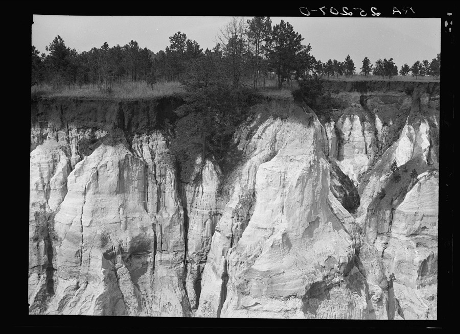
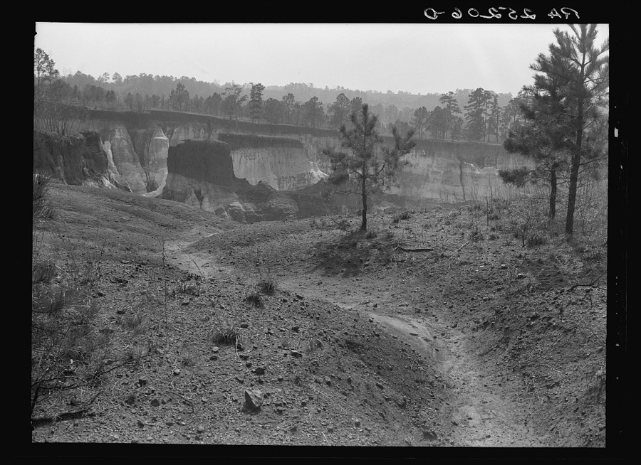
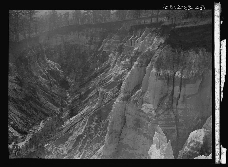
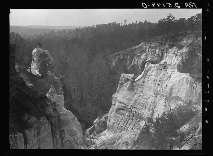
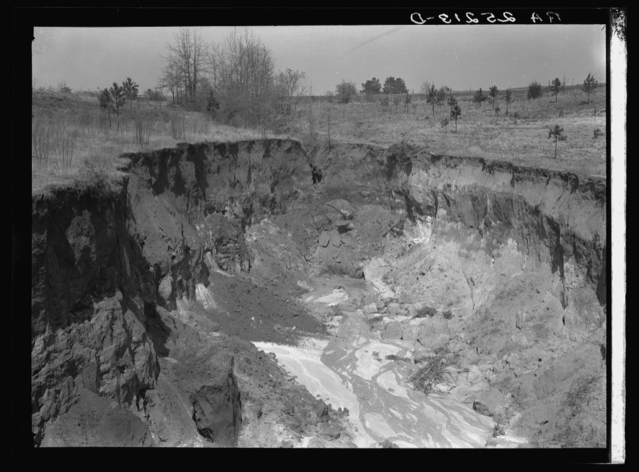
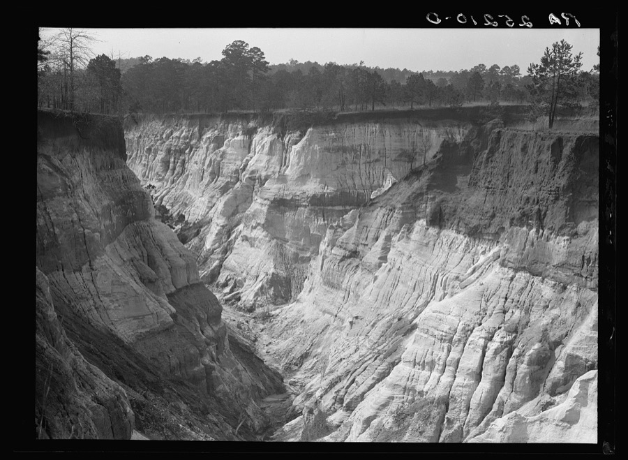
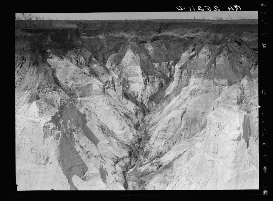
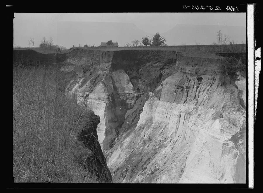
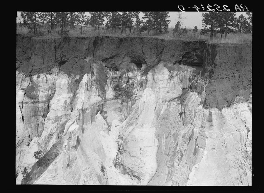
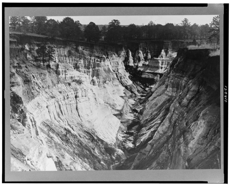
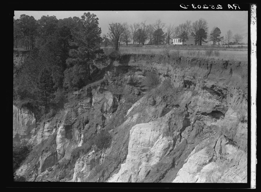
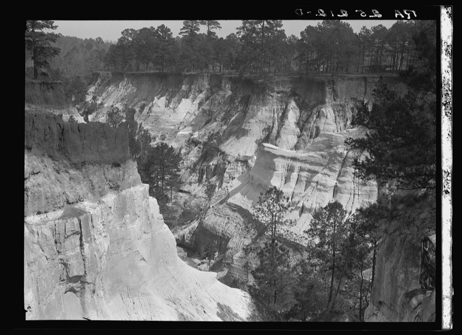
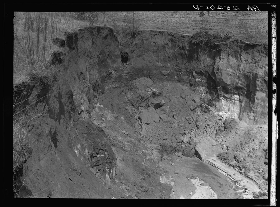

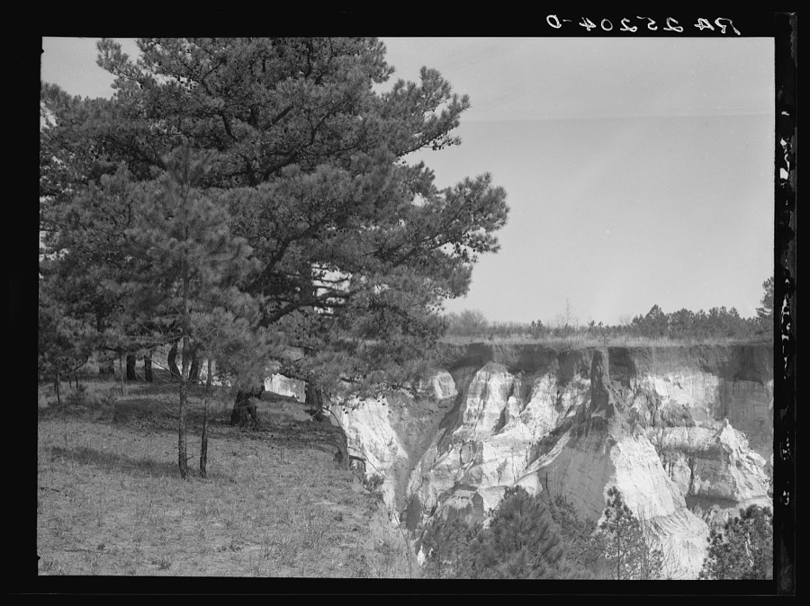
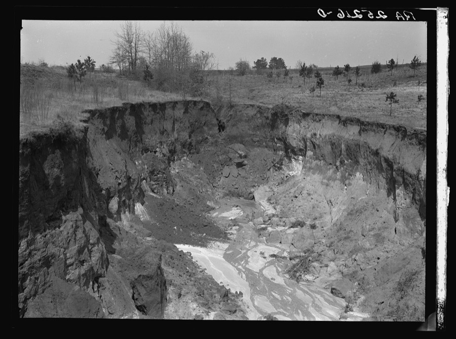
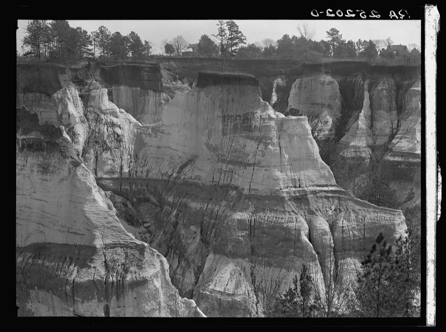
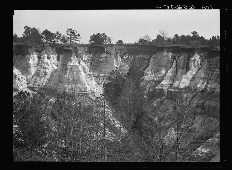
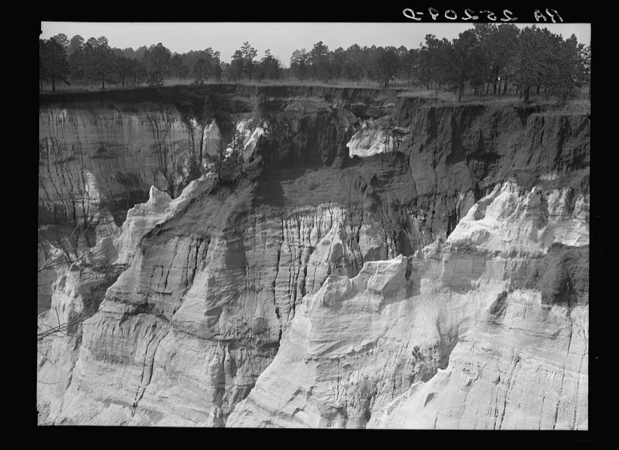
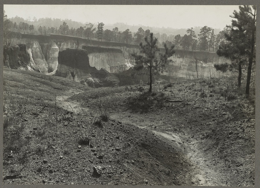
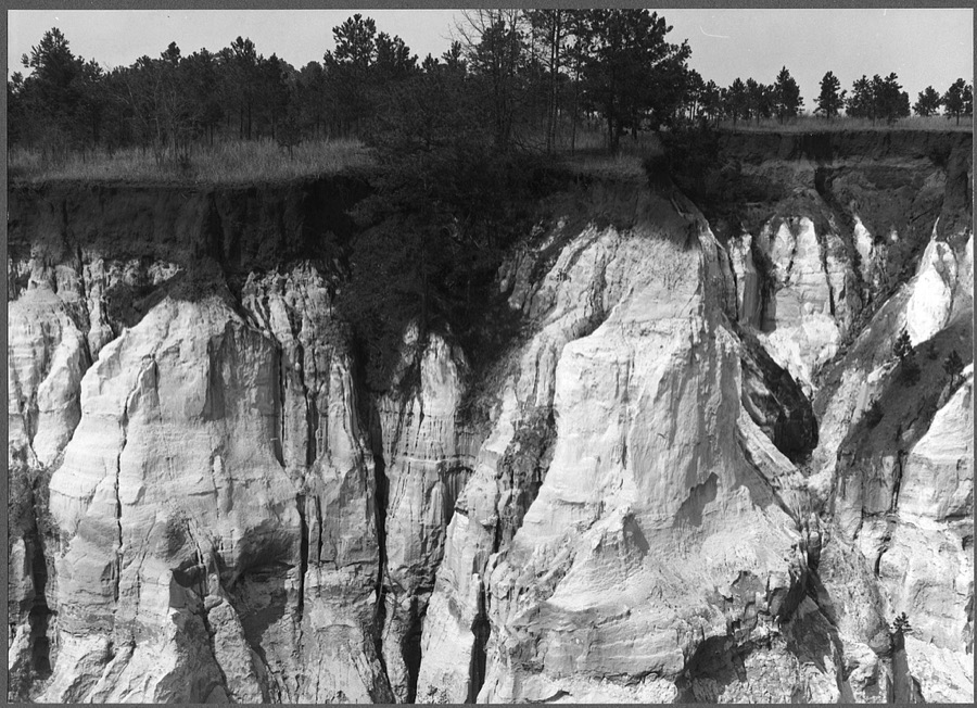
Every property in this county listed on the National Register of Historic Places, with the year it was listed and the federal nomination document.
Selected from the Digital Public Library of America's 1 image records catalogued for this county. Every one shown here carries a public-domain status or a licence that permits reuse on a site that carries advertising; non-commercial, share-alike and restricted images are excluded. The selection is spread across the county's towns (at most eight per town), so no single institution's bulk upload crowds out the rest. Each opens the holding library's record, and the complete set at the Digital Public Library of America is one click away.

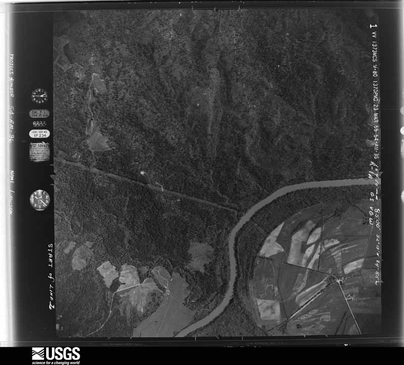
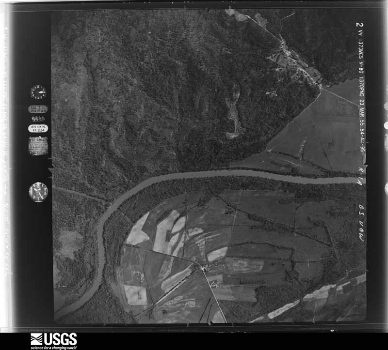
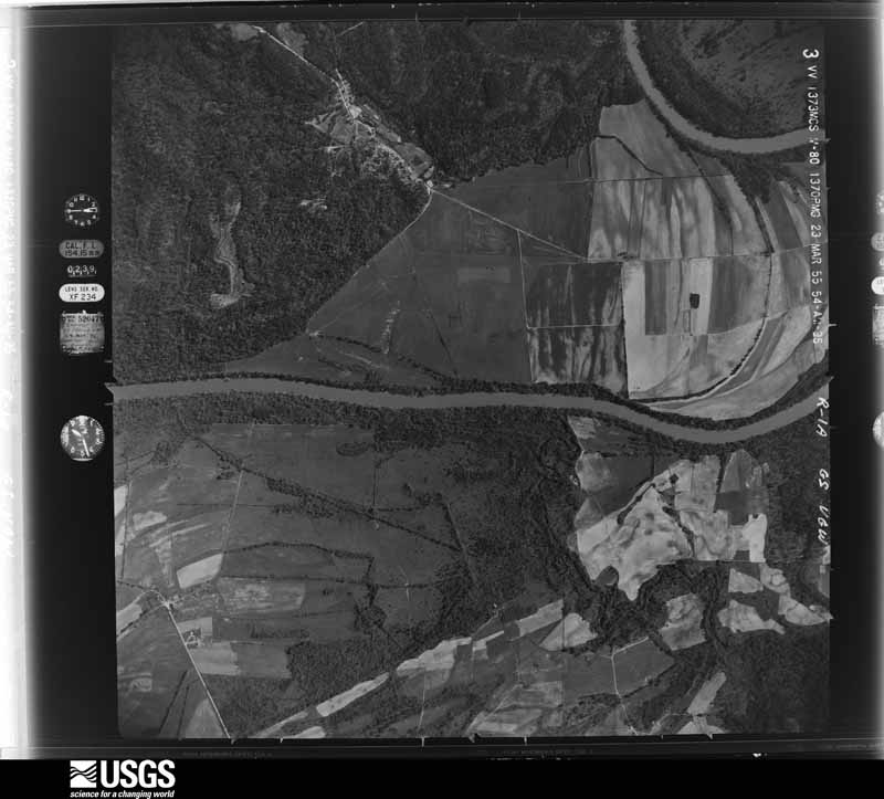
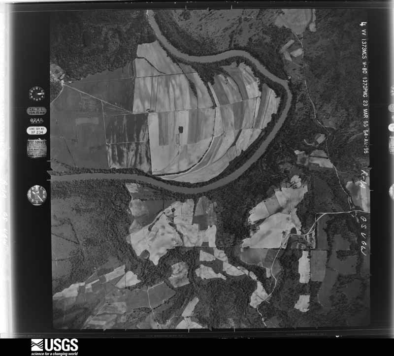
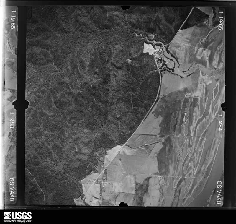
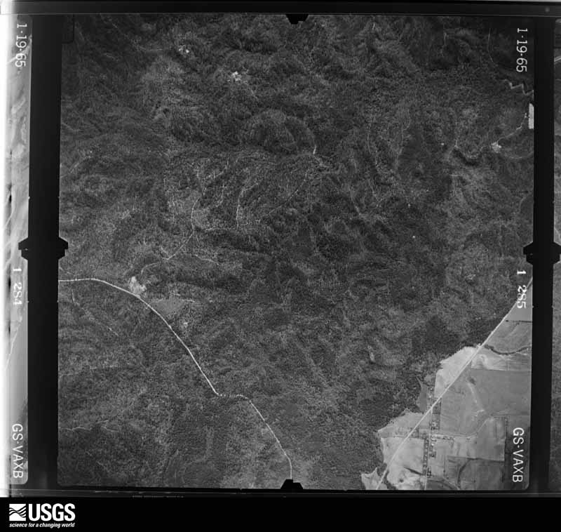
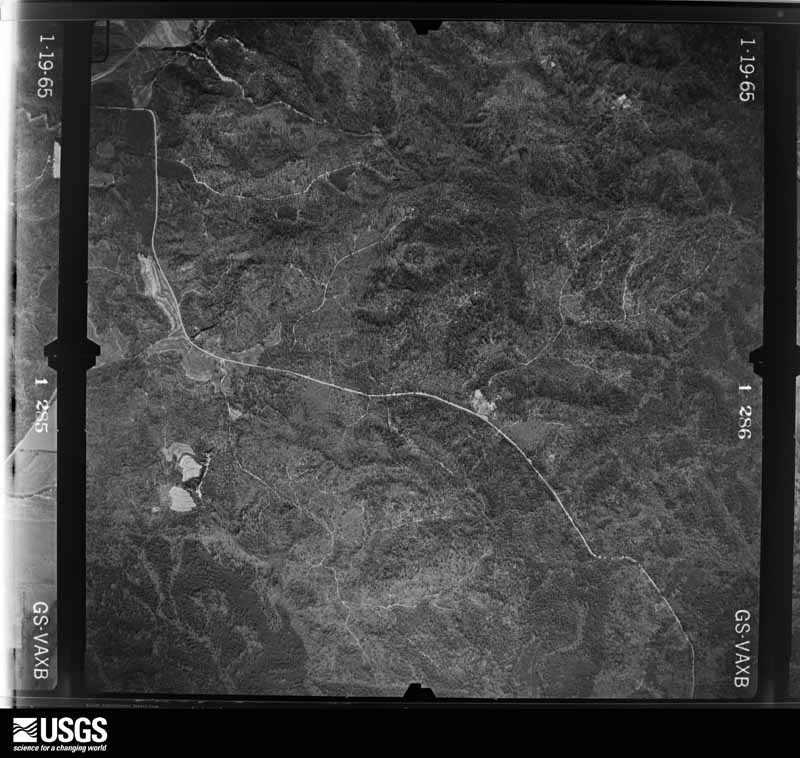
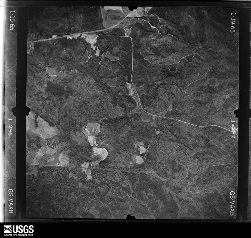
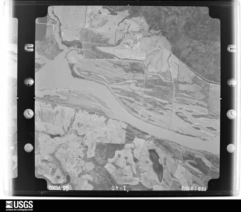
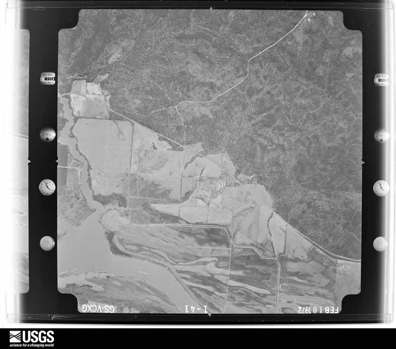
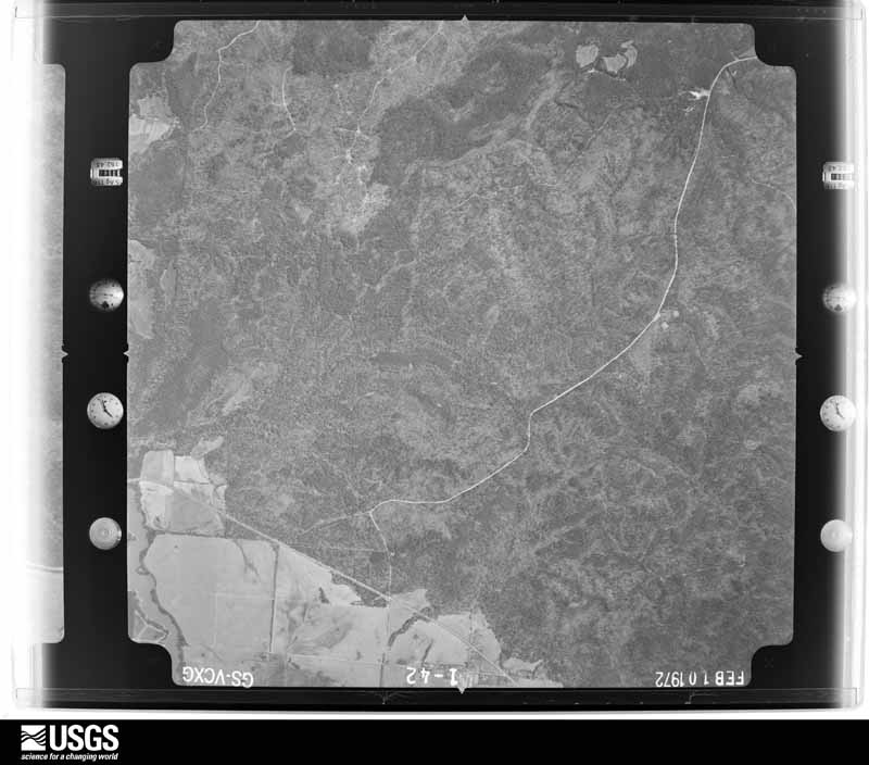
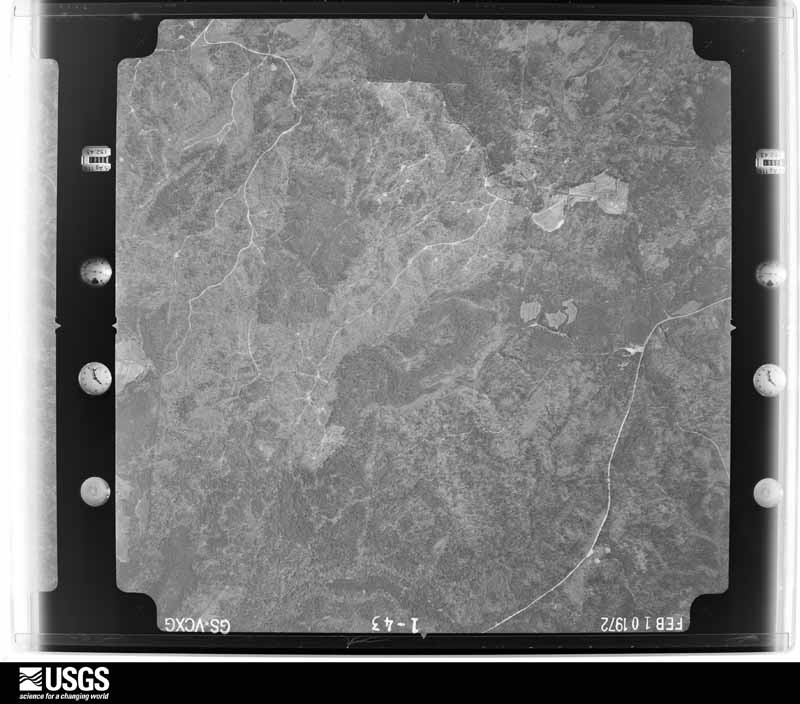
Flown by the U.S. Geological Survey between 1937 and 1989, the Aerial Photo Single Frames collection is the definitive mid-century view of the land: fields, roads and rivers as the camera saw them. The Survey holds 411 frames inside the rectangle that bounds this county; the 17 frames below were taken over the county itself, chosen across the decades of flights (at most four a year from that rectangle), so one flight cannot crowd out the rest. The full set is free to browse and download at EarthExplorer under the dataset Aerial Photo Single Frames.





The thermometers that kept this county's weather, and the gages that measured the flow of its streams, as the federal records hold them. The extremes below are measured values from those records, not estimates.
Who lived here in 1950, one enumeration district at a time, as the Census Bureau described each district. Each row opens its official National Archives result, with Population Schedules and ED Maps available there.
Every wildfire the federal occurrence database records inside this county: 781 of them, burning about 3,406 acres. 28 started naturally and 48 were recorded as arson. Each settlement page carries the fires within five miles of it.
| Reported cause | Fires |
|---|---|
| Debris and open burning | 516 |
| Equipment and vehicle use | 68 |
| Arson/incendiarism | 48 |
| Missing data/not specified/undetermined | 42 |
| Smoking | 32 |
| Natural | 28 |
| Railroad operations and maintenance | 28 |
| Misuse of fire by a minor | 11 |
| Recreation and ceremony | 8 |
The five largest, by the area the report gives. Three of them were set deliberately.
| Date | Cause | Size | Reported by | Name on the report |
|---|---|---|---|---|
| 7 November 2016 | Arson/incendiarism | 228 acres | Georgia Forestry Commission | FY2017-STEWART-006 |
| 18 March 2006 | Arson/incendiarism | 154 acres | Georgia Forestry Commission | not named |
| 8 March 2013 | Debris and open burning | 98 acres | Georgia Forestry Commission | FY2013-STEWART-016 |
| 11 June 2000 | Debris and open burning | 97 acres | Georgia Forestry Commission | FY2000-STEWART-057 |
| 6 September 1997 | Arson/incendiarism | 80 acres | Georgia Forestry Commission | not named |
| 25 March 2002 | Debris and open burning | 74 acres | Georgia Forestry Commission | FY2002-STEWART-042 |
| 20 May 2008 | Debris and open burning | 65 acres | Georgia Forestry Commission | not named |
| 2 September 1997 | Debris and open burning | 56 acres | Georgia Forestry Commission | not named |
Every settlement page carries the fires within five miles of it - see the settlement index below.
The NOAA Storm Events Database holds 108 reports for this county, causing 1 death, 20 injuries and about $1,828,750 in recorded property damage. Each settlement page carries the reports that name it.
| Kind of event | Reports |
|---|---|
| Thunderstorm Wind | 68 |
| Hail | 21 |
| Tornado | 16 |
| Funnel Cloud | 1 |
| Flash Flood | 1 |
| Flood | 1 |
The most serious of them, by death, then injury, then recorded damage. The accounts are quoted exactly as the forecast office filed them.
| When | Event | Place named | Harm | What the report says |
|---|---|---|---|---|
| December 1954 | Tornado (F2) | not stated | 1 killed, 20 hurt, $250,000 | no account filed |
| March 2019 | Tornado (EF2) | Sanford | $400,000 | A National Weather Service survey found that an EF2 tornado with maximum wind speeds of 125 mph and a maximum path width of 860 yards moved into Stewart County from Quitman County along Bladen Creek west of Bethel Church Road. The tornado crossed mainly forested areas with numerous large trees snapped or uprooted. The tornado moved east crossing Foreman Branch and Hodchodkee Creek before reaching Wesley Chapel Road, downing numerous trees along its path. As the tornado approached the intersection of John Logan Road and Philadelphia Road, it reached EF2 intensity destroying multiple large metal-framed barns and moving several large pieces of farming equipment, including a cotton picker. In addition, a single-family home had its entire roof and most exterior walls pulled apart. Inside, a family of two with 3 dogs survived the tornado in their hallway with no major injuries reported. Just east of John Logan Road, several campers were flipped over and destroyed. There were no reports of injuries with the campers. The tornado continued moving east crossing Highway 27 uprooting or snapping numerous trees. To the east, along County Road 145, hundreds of large trees were uprooted or snapped. As the tornado continued eastward, it began to weaken but still damaged numerous trees between County Road 148 and Goodwins |Pond Road as it approached the Webster County line. [03/03/19: Tornado #14, County #1/2, EF2, Stewart, 2019:019]. |
| March 2007 | Tornado (EF1) | Richland | $400,000 | A storm survey conducted by the National Weather Service in Peachtree City, Georgia concluded that an EF1 tornado touched down just southwest of Richland in northeast Stewart county, traveled across the downtown area of Richland and lifted approximately one mile northeast of Richland. The tornado traveled a path of approximately 1.5 miles with a maximum path width of 250 yards. Around 50 homes and businesses sustained damage in the city of Richland. One commercial building at the intersection of Broad and Harris streets was destroyed when the exterior brick wall collapsed. The Harmony Baptist Church on Harmony and Ponder Streets, built in 1838, was also destroyed. Only two walls were left standing. A tractor-trailer at the intersection of U.S. Highway 280 and Georgia Highway 520 was lifted and dropped by the tornado causing the trailer to collapse and split in the center. In addition, a number of trees and power lines were down throughout the Richland area. |
| December 1954 | Tornado (F2) | not stated | $250,000 | no account filed |
| April 2017 | Tornado (EF0) | Julia | $100,000 | A National Weather Service survey team found that an EF-0 tornado with maximum wind speeds of 85 MPH and a maximum path width of 150 yards occurred in central Stewart County. The tornado touched down along Green Grove Road southwest of the town of Lumpkin snapping a few trees west of the Bell Sister Road intersection. The tornado travelled east southeast hitting Steward County High School. Several trees were snapped at the front of the school and roofing material was torn off and spread several hundred yards east of the school. Water damage inside the school resulted From the loss of the roofing material, primarily on the east side of the school. Bleachers on an adjacent baseball field were overturned and sections of fence along the field were blown down. A few more trees were blown down east of the High School |before the tornado lifted just west of US Highway 27. No injuries were reported. [04/03/17: Tornado #4, County #1/1, EF-0, Stewart, 2017:036]. |
| January 2017 | Tornado (EF1) | Barges | $60,000 | The Stewart County Emergency Manager along with state Emergency Management officials found a path of damage associated with a brief EF-1 tornado in far southern Stewart County using ground and aerial surveys. The tornado touched down south of Sardis Road destroying a good portion of 2 commercial chicken houses off of Freeman Road. The Tornado traveled just over a half mile to the northeast toppling a large irrigation sprinkler system and snapping or uprooting several large trees before lifting just south of Sardis Road. Maximum wind speed was estimated at 95 MPH and the maximum path width was 200 yards. [01/02/17: Tornado #1, County #1/1, EF1, Stewart, 2017:001]. |
| April 2017 | Tornado (EF2) | Tilley | $50,000 | A National Weather Service survey team found that an EF2 tornado with maximum wind speeds of 120 MPH and a maximum path width of 1320 yards touched down |near the Randolph-Stewart County line along US Highway 27 and quickly moved northeast into Stewart County. The tornado touched down in extreme northwest Randolph County at EF1 strength. The tornado then traveled across southeast Stewart County snapping or uprooting trees. About 5 miles west of Weston, but still in Stewart County, EF2 damage occurred from County Road 91 across County Road 148 to the Freeman Extension south of Goodwins Pond Road. A number of trees were uprooted while most were snapped at the trunk, including trunks with diameters as large as 2 feet. Two chicken houses were destroyed and two trailers suffered roof damage. One of the trailers was largely destroyed, but not moved from its foundation. The tornado weakened to EF1 and continued into Webster County. No injuries were reported. [04/05/17: Tornado #3, County #1/2, EF-2, Stewart, Webster, 2017:062]. |
| March 2005 | Thunderstorm Wind | Lumpkin | $50,000 | The Stewart County Emergency Management Director reported that a thunderstorm microburst tore the roof off the county's Health Department building and damaged an outdoor storage bin at the Emergency Management Director's facility. In addition, some 40 to 50 trees within the same general small area were blown down, uprooted, or torn apart by the strong winds. |
| November 2014 | Tornado (EF1) | Coffinton | $25,000 | A NWS storm survey team found that an EF-1 tornado, with maximum wind speeds of 110 MPH, crossed the Chattahoochee River from Barbour County, Alabama into southwest Stewart County, Georgia southwest of the community of Coffington. The tornado tracked northeast for nearly 14 miles before lifting near the community of Julia along State Highway 39. The tornado mainly caused damage to trees with numerous hardwood and softwood trees either snapped or uprooted. [11/23/14: Tornado #1, County #1-1, EF1, Stewart, 2014:018]. |
| September 1998 | Flash Flood | County Line | $25,000 | no account filed |
| March 1981 | Tornado (F1) | not stated | $25,000 | no account filed |
| April 2017 | Tornado (EF0) | Randall | $20,000 | A National Weather Service survey team found a second tornado touched down in Stewart County. This tornado, associated with the same thunderstorm that produced the tornado near Lumpkin, was rated EF-0 with maximum wind speeds of 70 MPH and a maximum path width of 100 yards. The tornado touched down along US Highway 27 southwest of Richland snapping a few trees south of the highway. The tornado moved northeast hitting a small shed on the north side of the highway, ripping off roof panels. The tornado continued northeast along US Highway 27 knocking down a few trees near the intersection with Pleasant Valley Road before ending prior to reaching Highway 520. No injuries were reported. [04/03/17: Tornado #5, County #1/1, EF-0, Stewart, 2017:037]. |
| April 2016 | Tornado (EF0) | Sunlight | $20,000 | Georgia State Park officials found damage from a short-lived and weak tornado in the Providence Canyon State Park. Estimated maximum wind speeds of 75 MPH along a path around 300 yards long and 50 yards wide snapped or uprooted numerous trees. This occurred in a very remote area of the park with no vehicle access. No injuries were reported. [04/07/16: Tornado #1, County #1-1, EF0, Stewart, 2016:005]. |
| February 2008 | Tornado (EF0) | Omaha | $20,000 | An aerial survey conducted by the National Weather Service and the Georgia State Patrol determined that a tornado, which moved out of Russell county Alabama, continued into far northwestern Stewart county. While the tornado was rated an EF2 in Russell county Alabama, it weakened to an EF0 tornado as it crossed into far northwest Stewart county just northwest of Omaha. It then paralleled the Chattahoochee River and the Alabama border for over nine miles before finally crossing into Chattahoochee county. The path width was estimated to be 50 yards wide. Damage was minimal and confined mainly to downed trees and a few power lines. One county vehicle was damaged near Omaha when a tree fell on it. Much of the track of the tornado remained within swamp land along the Chattahoochee River. |
| May 2020 | Thunderstorm Wind | Lumpkin | $10,000 | The Stewart County Emergency Manager reported trees and power lines blown down from Lumpkin to northeast of Louvale. Trees and power lines were down on Valley Road, Liberty Street and Broad Street in Lumpkin and along Moores Store Road northeast of Louvale. |
| April 1998 | Tornado (F0) | Omaha | $10,000 | A tornado was reported near Omaha with numerous downed trees. |
| April 2017 | Thunderstorm Wind | Richland | $6,000 | The Stewart County Emergency Manager reported trees and power poles blown down along Highway 520 in Richland. |
| March 2026 | Thunderstorm Wind | Florence | $5,000 | Several trees down at florence marina near the intersection of florence road and marina road. |
| June 2016 | Thunderstorm Wind | Richland | $5,000 | The Stewart County 911 center reported several trees blown down in the Richland area. |
| November 2014 | Tornado (EF1) | Lumpkin | $5,000 | A NWS storm survey team found that an EF-1 tornado, with maximum wind speeds of 104 MPH, touched down in central Stewart County just southwest of the city of Lumpkin. The tornado tracked north northeast for less than a mile before lifting causing mainly damage to trees along Green Grove Road. [11/23/14: Tornado #2, County #1-1, EF1, Stewart, 2014:019]. |
| April 2011 | Thunderstorm Wind | Florence | $5,000 | The Stewart County Sheriff's Office reported that about a dozen trees were down across the county, including two at Florence Marina State Park, several near the county high school on Green Grove Road in Lumpkin, and at least one near Richland. A cable line was also down in Richland as a result of downed trees and/or wind. |
| August 2007 | Thunderstorm Wind | Richland | $5,000 | The Lumpkin County 911 Center reported that many trees and several power lines were down between Lumpkin and Richland and also along Georgia Highways 38C and 39 in the western and southwestern part of the county between Florence Marina State Park and Lumpkin. Several power outages were observed in the area as well. |
| July 2004 | Thunderstorm Wind | Lumpkin | $5,000 | The Stewart County Emergency Management Director reported that several large pine trees were blown down, some landing on and causing damage to recreational campers stored on a lot. |
| March 1993 | Thunderstorm Wind | Lumpkin | $5,000 | Several large tree limbs were downed by thunderstorm winds. |
| April 1999 | Thunderstorm Wind | Louvale | $5,000 | no account filed |
| March 1997 | Hail | Lumpkin | $5,000 | no account filed |
| June 2020 | Thunderstorm Wind | Lumpkin | $4,000 | The public reported trees blown down from Lumpkin to Richland. |
| June 2019 | Thunderstorm Wind | Louvale Station | $4,000 | The Stewart County Emergency Manager reported a couple of trees blown down along US Hwy 27, one just north of Lumpkin and the other near the intersection of GA Hwy 39. |
| July 2018 | Thunderstorm Wind | Sunlight | $4,000 | The Stewart County Emergency Manager reported several small trees blown down along Highway 39C near Providence Canyon State Park. One of the trees brought down power lines. |
| December 2009 | Flood | Blufftown | $3,000 | The Stewart County Emergency Management Director reported minor flooding of some roads and property across the county, mostly adjacent to overflowing creeks and streams. Monetary damage was confined to minor debris removal in these areas. |
| January 2002 | Thunderstorm Wind | Omaha | $3,000 | The Stewart county 911 center reported that three to four trees were blown down on power lines which resulted in some power outages in the area. |
| June 2000 | Thunderstorm Wind | Lumpkin | $3,000 | The Emergency Management Director for Stewart county reported trees down in Lumpkin which also brought down some power lines. In addition, a funnel cloud was sighted in the area. |
| December 2000 | Thunderstorm Wind | Richland | $3,000 | The Stewart county emergency manager reported that power lines were down and there was debris on one of the roads which passes through the Hannahatchee Creek Wildlife Management Area (WMA). It was initially believed to have been a tornado, but there was no confirmation of this by the National Weather Service, local, or state emergency management personnel. |
| April 1998 | Hail | Omaha | $3,000 | Hail the size of quarters was reported in Omaha, lasting several minutes. |
| January 2013 | Thunderstorm Wind | Sanford | $2,500 | The Stewart County Emergency Manager reported that several trees were blown down across the southern portion of the county. |
| February 2016 | Thunderstorm Wind | Omaha | $2,000 | The Stewart County 911 Center reported a few trees blown down on Highway 39 about a mile southwest of Omaha. |
| March 2011 | Thunderstorm Wind | Beatrice | $2,000 | The Stewart County Emergency Management Director reported that several trees were down along Canyon Road or Georgia Highway 39C between Lumpkin and Providence Canyon State Park. The Emergency Manager thought the damage might have been from a tornado and strong rotation was indicated in the area at the time. However, no tornado damage was confirmed from this event. |
| March 2009 | Thunderstorm Wind | Lumpkin | $2,000 | The Stewart County Emergency Management Director reported that a few trees were down south of Lumpkin along with minor structural damage to a building in the far southern part of the county. |
| April 2009 | Thunderstorm Wind | Omaha | $2,000 | The Sumter Electric Management Cooperative (EMC) reported that several trees and tree limbs were down across the county. This brought some power lines down as well. |
| May 2002 | Thunderstorm Wind | Lumpkin | $2,000 | The Stewart county 911 center reported several trees down on Georgia Highway 27 west of Lumpkin and also near County Line. |
| June 2000 | Thunderstorm Wind | Lumpkin | $2,000 | The public reported two trees down 2 miles south of Lumpkin on Trotman Road and two more trees down on U.S. Highway 27, 3 miles south of Lumpkin. |
| April 1999 | Hail | Omaha | $2,000 | no account filed |
| November 1997 | Hail | Louvale | $2,000 | no account filed |
| June 2014 | Thunderstorm Wind | Florence | $1,500 | The Stewart County 911 Center reported that several trees were blown down onto State Highway 39 in western Stewart County. |
| June 2012 | Thunderstorm Wind | Lumpkin | $1,500 | The Stewart County Emergency Manager and 911 Center reported several downed trees east of Lumpkin, including one across Trotman Road and another on Holder Road. |
| March 2026 | Thunderstorm Wind | Louvale | $1,000 | Tree down on a house on old louvale road . |
| August 2024 | Thunderstorm Wind | Roanoke | $1,000 | Tree down along ga hwy 39 near rood creek . |
| August 2024 | Thunderstorm Wind | Florence | $1,000 | Tree down along ga hwy 39 near florence marina. |
| July 2023 | Thunderstorm Wind | Omaha | $1,000 | Emergency manager reported a tree down along Hwy 39 near Wall Rd. |
| March 2022 | Thunderstorm Wind | Florence | $1,000 | A tree was reported downed on Hwy 39 at Florence Marina. |
| July 2018 | Thunderstorm Wind | Richland | $1,000 | The Stewart County Emergency Manager reported a tree blown down at the intersection of Lamar Street and Meyer Street. |
| April 2017 | Thunderstorm Wind | Lumpkin | $1,000 | The Stewart County Emergency Manager reported trees blown down at Rockwell Street and Hardwick Lane. |
| March 2007 | Thunderstorm Wind | Lumpkin | $1,000 | The Stewart County Emergency Management Director reported that several trees were down along Trotman Road southeast of Lumpkin. |
| July 2005 | Thunderstorm Wind | Brooklyn | $1,000 | Georgia Power reported that a power line was down near Brooklyn. |
| November 2001 | Thunderstorm Wind | Lumpkin | $1,000 | The Stewart county 911 center reported that three trees were blown down. |
| April 1999 | Thunderstorm Wind | Omaha | $1,000 | no account filed |
| June 2014 | Thunderstorm Wind | Lumpkin | $500 | The Stewart County 911 Center reported that a couple of trees were blown down. |
| May 2006 | Thunderstorm Wind | Lumpkin | $500 | The Stewart County Emergency Management Director reported that a couple of trees were blown down. |
| March 2005 | Thunderstorm Wind | Lumpkin | $500 | The Stewart County Sheriff's office reported that a few trees were blown down on the east side of Lumpkin. |
| January 2001 | Thunderstorm Wind | Louvale | $500 | The Stewart county 911 center reported two trees down near Louvale. |
The Survey's mineral resources record lists 2 workings inside this county. None of them still produces: all are closed or unrecorded. Each settlement page carries the workings within five miles of it.
| Commodity | Workings |
|---|---|
| Iron | 2 |
The least common of them first, because a county's hundredth gravel pit says nothing its first ten did not.
| Where | Site | Commodity | Status | Recorded |
|---|---|---|---|---|
| Big Mill Mine | Iron | Past Producer | ||
| Stewart Operations | Iron | Past Producer |
Named settlements recorded in the Geographic Names Information System, each with the topographic sheets covering it. Villages, hamlets and abandoned places alike. Each is shown with the nearest named watercourse or landform and the survey quadrangle it falls on. The 2 places that were also surveyed for fire insurance come first, with the number of atlases and photographs held for them.
Lumpkin census division · 31815 · On West Branch · Lumpkin quadrangle
12 sheets, 1950 to 1981
Fire insurance: 5 atlases
Richland census division · 31825 · Richland quadrangle
8 sheets, 1955 to 1981
Fire insurance: 6 atlases
Omaha census division · 31821 · Union quadrangle
12 sheets, 1949 to 1981
No longer a settlement
Lumpkin census division · 31815 · On Mathias Branch · Twin Springs quadrangle
9 sheets, 1955 to 1981
Omaha census division · 31821 · On Grass Creek · Twin Springs quadrangle
9 sheets, 1955 to 1981
Omaha census division · 31805 · Louvale quadrangle
12 sheets, 1950 to 1981
No longer a settlement
Omaha census division · 31815 · On Black Creek · Louvale quadrangle
12 sheets, 1950 to 1981
Lumpkin census division · 31815 · On Fort Branch · County Line quadrangle
7 sheets, 1953 to 1981
No longer a settlement
Omaha census division · 31821 · On Hannahatchee Creek · Omaha quadrangle
10 sheets, 1955 to 1981
Omaha census division · 31821 · Union quadrangle
12 sheets, 1949 to 1981
No longer a settlement
Lumpkin census division · 31821 · Twin Springs quadrangle
9 sheets, 1955 to 1981
No longer a settlement
Richland census division · 31825 · Brooklyn quadrangle
7 sheets, 1955 to 1981
No longer a settlement
Omaha census division · 31821 · On Hannahatchee Creek · Omaha quadrangle
10 sheets, 1955 to 1981
No longer a settlement
Lumpkin census division · 31815 · Sanford quadrangle
7 sheets, 1953 to 1981
No longer a settlement
Lumpkin census division · 31815 · County Line quadrangle
7 sheets, 1953 to 1981
No longer a settlement
Lumpkin census division · 31815 · On West Branch · Lumpkin quadrangle
12 sheets, 1950 to 1981
The vanished settlements of Stewart County: the places named above that are no longer on the map.
8 topographic sheets and 6 fire insurance atlases, 1903 to 1934
12 topographic sheets and 5 fire insurance atlases, 1904 to 1933