 Block
From the record
12 National Register listings published here.
Sources: the National Register database, National Park Service
55 topographic sheets and 6 fire insurance atlases across 1 place.
12 National Register listings published here.
Sources: the National Register database, National Park Service
Taken for the Office of War Information and the Farm Security Administration, who photographed the country between 1935 and 1944. Works of United States government photographers, with no known restriction on use. Each opens its catalogue record.

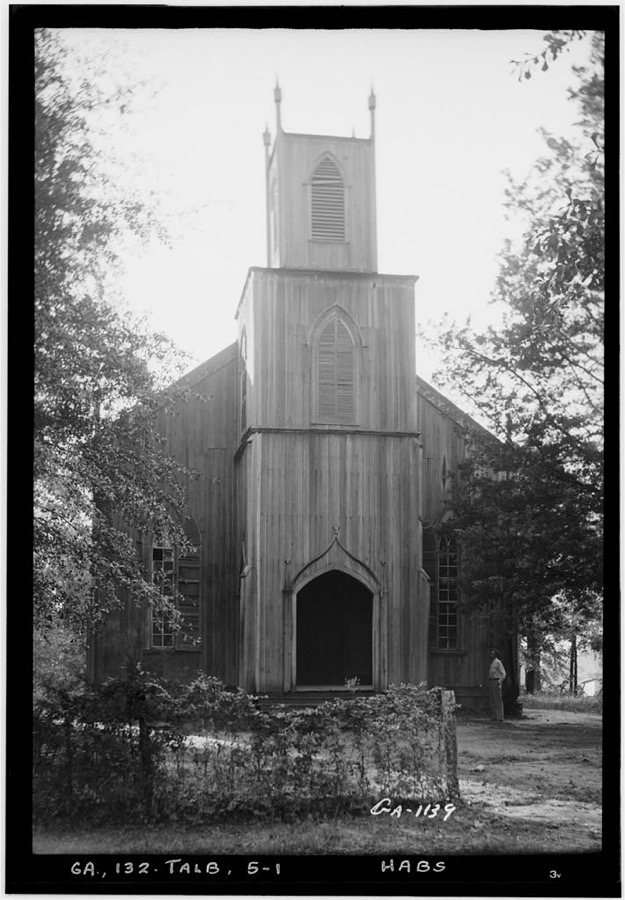
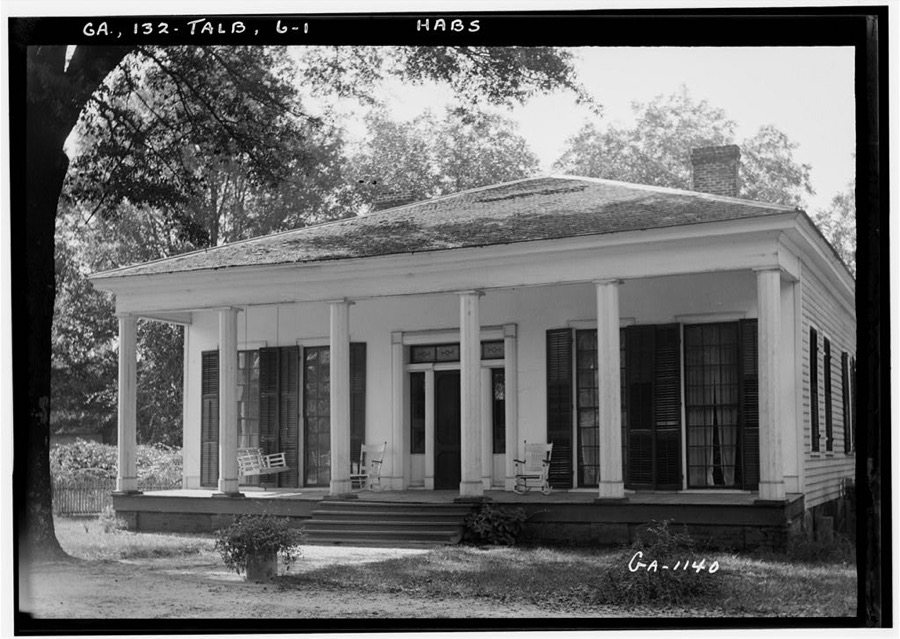
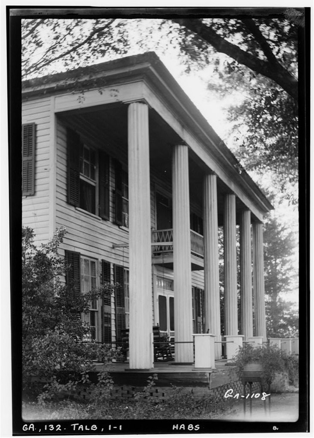
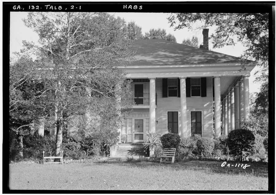
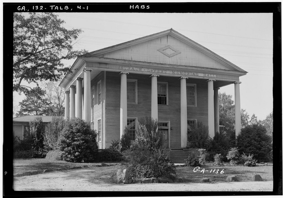
Every property in this county listed on the National Register of Historic Places, with the year it was listed and the federal nomination document.
| Photograph | Property | Type | Listed | Reference |
|---|---|---|---|---|
| Frederick A. Bailey House | building | 1980 | 80001238 | |
 | Newton P. Carreker House | building | 1980 | 80001239 |
 | Elms, The | building | 2004 | 04000930 |
| LeVert Historic District | district | 1976 | 76000649 | |
 | Lockhart-Cosby Plantation | building | 1994 | 94001215 |
 | John Frank Mathews Plantation | district | 1986 | 86003456 |
 | David Shelton House | building | 1980 | 80001240 |
 | Martin and Lucretia Stamper House | building | 2007 | 07000939 |
 | Talbot County Courthouse | building | 1980 | 80001241 |
 | George W. B. Towns House | building | 1973 | 73000644 |
| Weeks-Kimbrough House | building | 1979 | 79000747 | |
 | Zion Episcopal Church | building | 1974 | 74000702 |
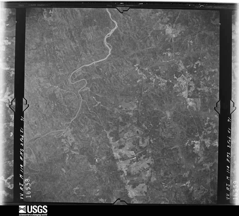
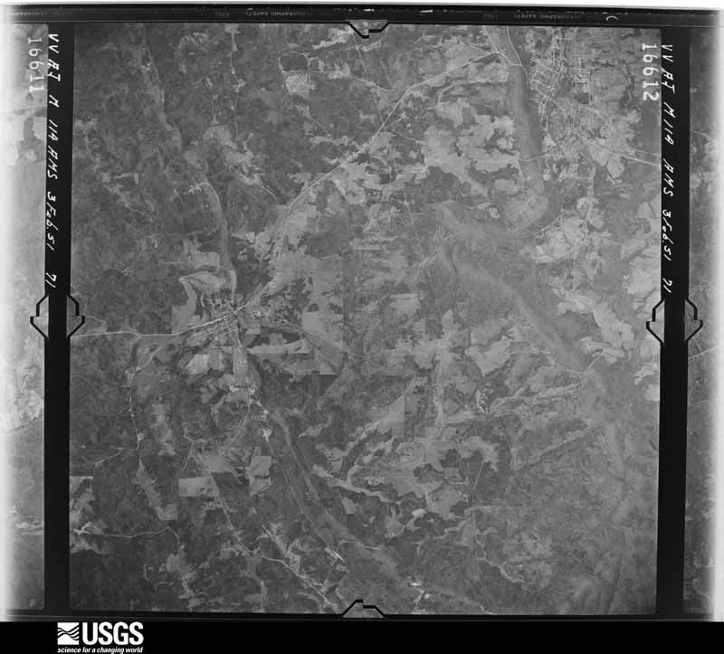
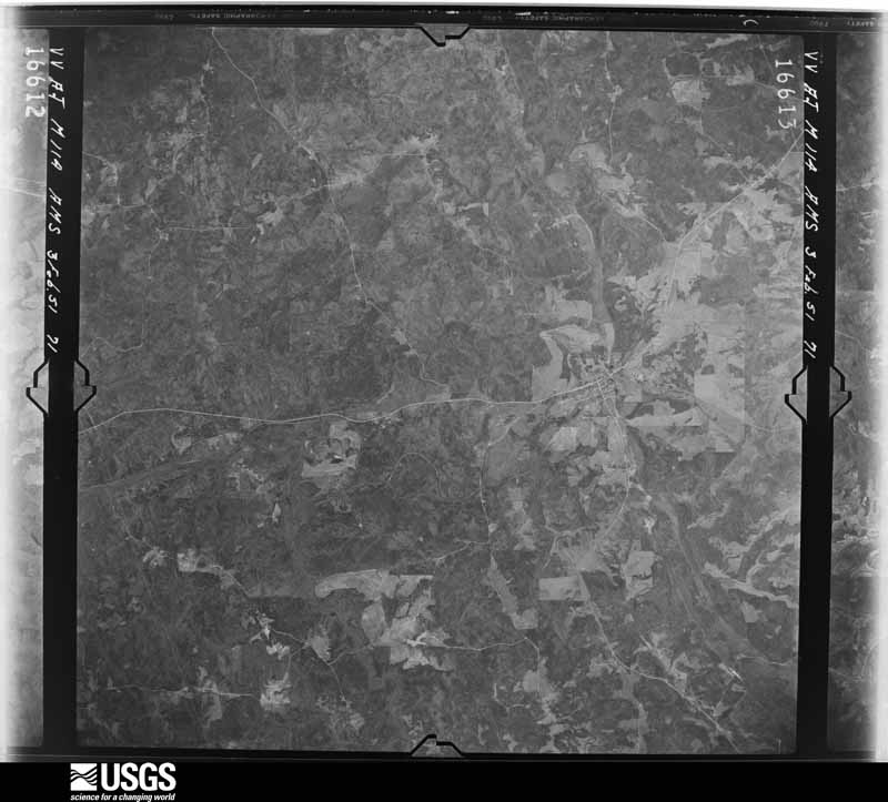
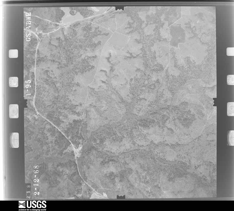
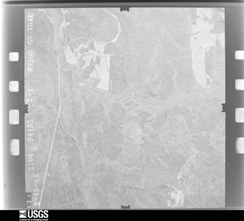
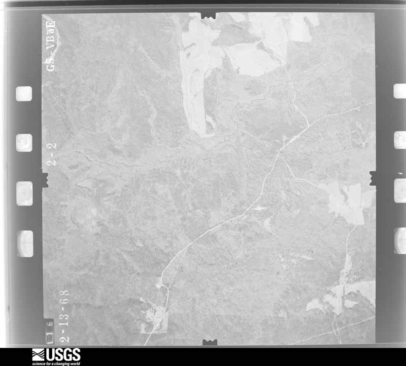
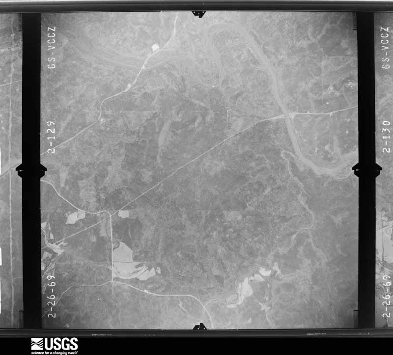
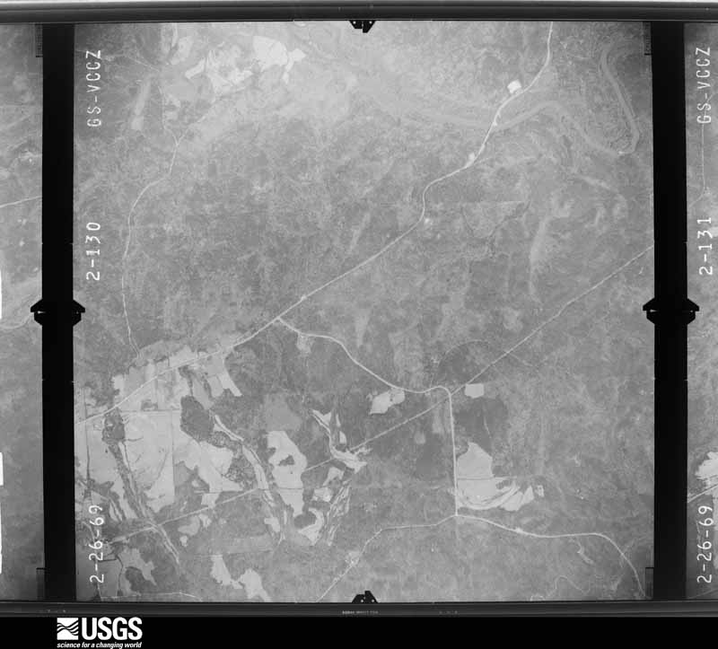
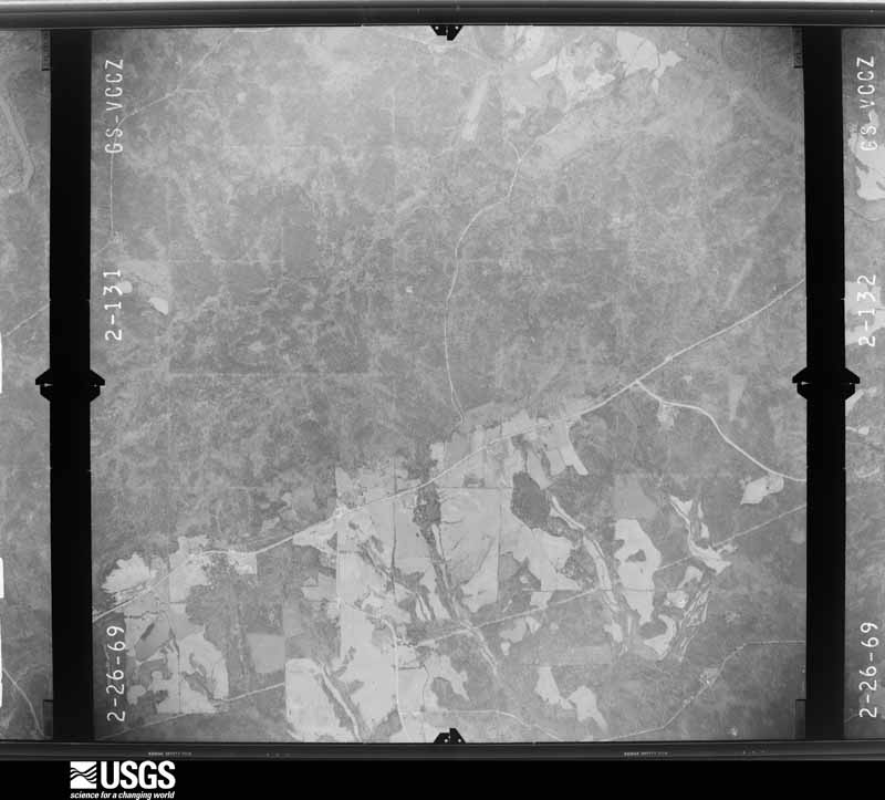
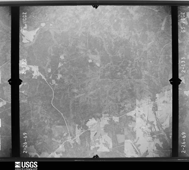
Flown by the U.S. Geological Survey between 1937 and 1989, the Aerial Photo Single Frames collection is the definitive mid-century view of the land: fields, roads and rivers as the camera saw them. The Survey holds 410 frames inside the rectangle that bounds this county; the 16 frames below were taken over the county itself, chosen across the decades of flights (at most four a year from that rectangle), so one flight cannot crowd out the rest. The full set is free to browse and download at EarthExplorer under the dataset Aerial Photo Single Frames.






The thermometers that kept this county's weather, as the federal records hold them. The extremes below are measured values from those records, not estimates.
Who lived here in 1950, one enumeration district at a time, as the Census Bureau described each district. Each row opens its official National Archives result, with Population Schedules and ED Maps available there.
Every wildfire the federal occurrence database records inside this county: 1,017 of them, burning about 4,846 acres. 20 started naturally and 211 were recorded as arson. Each settlement page carries the fires within five miles of it.
| Reported cause | Fires |
|---|---|
| Debris and open burning | 509 |
| Arson/incendiarism | 211 |
| Railroad operations and maintenance | 85 |
| Equipment and vehicle use | 62 |
| Missing data/not specified/undetermined | 59 |
| Recreation and ceremony | 31 |
| Smoking | 26 |
| Natural | 20 |
| Misuse of fire by a minor | 14 |
The five largest, by the area the report gives. Four of them were set deliberately.
| Date | Cause | Size | Reported by | Name on the report |
|---|---|---|---|---|
| 25 April 2004 | Arson/incendiarism | 156 acres | Georgia Forestry Commission | not named |
| 25 February 1996 | Arson/incendiarism | 118 acres | Georgia Forestry Commission | not named |
| 16 March 2002 | Debris and open burning | 104 acres | Georgia Forestry Commission | FY2002-TALBOT-041 |
| 3 April 2018 | Debris and open burning | 98 acres | Georgia Forestry Commission | FY2018TALBOT021 |
| 15 June 2000 | Debris and open burning | 89 acres | Georgia Forestry Commission | FY2000-TALBOT-057 |
| 16 May 1999 | Arson/incendiarism | 72 acres | Georgia Forestry Commission | not named |
| 20 March 1994 | Arson/incendiarism | 68 acres | Georgia Forestry Commission | not named |
| 26 February 2009 | Debris and open burning | 65 acres | Georgia Forestry Commission | not named |
Every settlement page carries the fires within five miles of it - see the settlement index below.
The NOAA Storm Events Database holds 138 reports for this county, causing no deaths, 6 injuries and about $2,149,800 in recorded property damage. Each settlement page carries the reports that name it.
| Kind of event | Reports |
|---|---|
| Thunderstorm Wind | 84 |
| Tornado | 21 |
| Hail | 21 |
| Flash Flood | 11 |
| Flood | 1 |
The most serious of them, by death, then injury, then recorded damage. The accounts are quoted exactly as the forecast office filed them.
| When | Event | Place named | Harm | What the report says |
|---|---|---|---|---|
| December 1954 | Tornado (F1) | not stated | 6 hurt, $2,500 | no account filed |
| March 2019 | Tornado (EF3) | Baughville | $750,000 | A National Weather Service survey found an EF2 tornado moved out of Harris County into Talbot County increasing to EF3 intensity along Highway 315 where a small church and a mobile home were destroyed and dozens of trees were downed. Extensive damage occurred to a two-story home. The Humble Zion Church which was completely demolished with no walls left standing, was constructed of cinder blocks and mortar. The tornado continued east northeast along or just south of Highway 315, and weakened once again with EF1 wind damage found through forested areas in and around the highway as it crossed Callier Road, O'Neal Road, and Mitchell Road. Next, the tornado moved across the northern side of the city of Talbotton, causing extensive damage to trees and completely destroying numerous homes. Damage was observed along Adams Road on the Northwest side of town as wide swaths of trees were observed to be snapped. The tornado intensified again as it crossed Washington Avenue, the main north-south road through town, causing EF2 damage. A few manufactured homes were completely turned over, twisted, and destroyed. Contents of the homes were blown over a quarter mile into the woods behind them. One site-built, single family home was twisted at least 10 feet off of it's foundation and another |had its second story completely removed. Two apartment buildings were completely blown down with the foundation slabs laid bare. At least a dozen cars were destroyed by wind-blown debris. Several cars were blown several feet from where they were parked and one sedan was rolled up onto the top of a small pick-up truck. Several other manufactured homes lost portions of their roofing and some lost whole rooms to the winds. Seven injuries were reported in Talbotton. The tornado continued east northeast out of Talbotton, continuing to snap and uproot hundreds of trees along the path. Another manufactured home was found to have been displaced and torn apart, with another having its rear half collapsed from winds and falling trees. The storm continued moving to the east northeast between Highway 80 and Boot Kelly and Pobiddy Roads. On Poplar Cross Road, between Pobiddy Road and Highway 80, hundreds of softwood trees were snapped near their bases. The tornado dissipated just east of the intersection of George Smith Road and Carl Mathis Road. Seven injuries were reported along the Talbot County portion of the tornado path. [03/03/19: Tornado #2, County #3/3, EF3, Talbot, 2019:007]. |
| April 2017 | Tornado (EF2) | Box Spgs | $300,000 | A National Weather Service survey team found a long-track tornado path across southeast Talbot County that briefly crossed into Taylor County before crossing back into Talbot County and ending. The entire path length was nearly 22 miles and the maximum path width was 700 yards. The tornado path began south of Highway 80 near the Talbot-Muscogee County line moving northeast and causing minor tree damage in a wooded area. It then crossed Box Spring Road where it caused EF-1 damage in a residential area destroying 2 barns and uprooting several large trees. The tornado then briefly weakened causing sparse damage to trees as it continued to move northeast crossing US Highway 80 at Cusseta Highway and passing to the north of Geneva. The tornado began to strengthen considerably as it approached the area northwest of Junction City with EF-1 damage indicated by the flattening of a large swath of trees. At the Junction City Quarry, a power substation weighing approximately 2-3 tons was moved three feet off of its foundation. Along Rock Church Road the tornado reached a width of at least a quarter of a mile, blowing over trees along the road and damaging multiple manufactured homes. As the tornado continued along Stalling Lane large areas of pine trees were snapped and a mid-sized barn was flattened. The tornado continued to increase in strength, causing EF-2 damage about 1.5 miles north of Junction City where hundreds of trees were snapped at their bases and very few trees, if any, were left standing. As the tornado continued northeast crossing Lee Duncan Road southeast of Ingram Road, it was at its most intense with wind speeds estimated to be 120 mph and a maximum path width around 700 yards. The tornado knocked over trees onto a home and destroyed a barn with wood posts anchored about a foot into the ground. The tornado began to weaken as it continued to the northeast over mostly wooded areas causing more large swaths of snapped trees as it crossed Hwy 208 and briefly crossed into Taylor County. No injuries were reported. [04/27/17: Tornado #1/1, County #1/3, EF-2, Talbot, Taylor, Talbot, 2017:067]. |
| November 1992 | Tornado (F1) | not stated | $250,000 | no account filed |
| January 2017 | Tornado (EF2) | Pleasant Hill | $100,000 | A National Weather Service survey team found that an EF2 tornado with maximum winds of 115 MPH and a maximum path width of 300 yards began in Talbot County just east of Highway 36 near the Flint River where hundreds of trees were snapped and uprooted as the tornado moved north-northeast over a hill and into the river's floodplain. A home was severely damaged along the river and one person was trapped inside for a time but not injured. After travelling only around a half of a mile from its beginning point, the tornado crossed the Flint River into Upson County. [01/21/17: Tornado #6, County #1/2, EF1, Talbot-Upson, 2017:007]. |
| February 2019 | Thunderstorm Wind | Baughville | $50,000 | The Talbot County Emergency Manager reported numerous trees blown down across northern and western portions of the county with around a dozen roads impacted. The hardest hit area was between Highway 315 and Highway 36 west-northwest of Talbotton. |
| April 2017 | Tornado (EF1) | Ypsilanti | $50,000 | A National Weather Service survey team found that an EF-1 tornado with maximum wind speeds of 105 MPH and a maximum path width of 200 yards occurred in Talbot County. The tornado touched down along Pobiddy Road near the intersection with Jeff Hendricks Road and traveled east snapping a few trees before crossing Poplar Cross Road where several trees were snapped or uprooted onto the road. The tornado continued east along the north side of Carl Mathis Road in a wooded area downing trees. At an unoccupied home along Carl Mathis Road, a nearly 100 year old barn was completely destroyed along with a small shed. Numerous pecan and other hardwood trees north of the home were snapped and uprooted. The tornado crossed George Smith road continuing to down trees before weakening in a wooded area east of George Smith Road. No injuries were reported. [04/03/17: Tornado #8, County #1/1, EF-1, Talbot, 2017:040]. |
| March 2007 | Tornado (EF1) | Talbotton | $50,000 | A damage survey conducted by the National Weather Service in Peachtree City, GA concluded that an EF1 tornado touched down in western Talbot county just across the Harris county line just northeast of Baughville and traveled east-northeast lifting about four miles northwest of Talbotton in the vicinity of Powell-Church Road. The overall tornado path length was a little over four miles with a maximum path width of 100 yards. Much of the damage occurred between Georgia Highways 315 and 208 between Baughville, Olive Branch, and areas northwest of Talbotton. On the western end of the track, closer to Baughville and Olive Branch, one mobile home and four outbuildings were destroyed. In addition, several homes sustained minor roof damage. Near the end of the tornado path on Powell-Church Road, a wraparound porch was destroyed on a home. A feedstore and adjacent barn were also damaged and an outbuilding was destroyed. Numerous trees were down along the path of the tornado. |
| March 2013 | Thunderstorm Wind | Woodland | $45,000 | The Talbot County Sheriff's office reported that several trees were blown down near Georgia Highway 36. At least one tree blocked a portion of the highway. A motorist swerved to miss a tree that had fallen across the highway, subsequently hitting another tree. The passenger was killed in the accident. |
| October 2014 | Tornado (EF1) | Tax | $40,000 | NWS Storm Survey team found a tornado touched down just southwest of Shiloh in Harris County and traveled northeast for almost 6 miles across northwest Talbot County and southern Meriwether County. A home on the south face of Pine Mountain off Skyline Drive southwest of Manchester lost part of its roof and a large shed was destroyed. A few other homes along the path had minor damage with approximately 100 trees snapped or uprooted. EF1 damage was indicated with maximum wind speeds estimated around 100 MPH and a path width of 200 yards. [10/14/14: Tornado #1, County #2-3, EF1, Harris-Talbot-Meriwether, 2014:011]. |
| April 2019 | Tornado (EF0) | Baughville | $35,000 | A National Weather Service survey determined that an EF0 tornado with maximum wind speeds 80 mph and a maximum path width of 100 yards moved out of eastern Harris County into western Talbot County. The tornado moved northeast across Highway 315 and County Road 71 downing dozens of trees before dissipating along Culpepper Road. No injuries were reported. [04/14/19: Tornado #2, County #3/3, EF-0, Talbot, 2019:022]. |
| February 2018 | Tornado (EF0) | Brownsand | $35,000 | A National Weather Service survey team found that an EF0 tornado with maximum wind speeds of 85 MPH and a maximum path width of 200 yards touched down west of Junction City near the intersection of Carlyle Road and South Taylor Road where a few|small softwood trees were snapped or uprooted. The tornado moved east northeast snapping or uprooting about 15 to 20 small softwood trees just west of the intersection of Highway 96 and Highway 90. As the tornado entered Junction City, some siding was |removed from a small pole barn on Rock Church Road, and additional small trees were snapped. The tornado then turned southeast and moved across Junction City snapping |15 to 20 more trees along Broadwood Circle before ending. [02/07/18: Tornado #3, County #1/1, EF-0, Talbot, 2018:003]. |
| June 2007 | Thunderstorm Wind | Box Spgs | $30,000 | The Talbot county sheriff and the public reported that a number of large 100-year old pecan and several large oak trees from Box Springs to Juniper were either blown down or uprooted. Several of the trees were four to five feet in diameter. One home sustained significant damage when a large oak tree fell on the structure. The path of wind damage covered an area six to seven miles long in the far southwest and south central part of the county. |
| April 2020 | Tornado (EF0) | Belleview | $25,000 | A National Weather Service survey found that an EF0 tornado with maximum wind speeds of 80 mph and a maximum path width of 100 yards developed over northern |Talbot County blowing down numerous trees in a mostly remote, wooded area. Several roads were blocked by downed trees including Tom Buffington Road and Sunrise Road. [04/12/20: Tornado #10, County #1/1, EF-0, Talbot, 2020:016]. |
| April 2017 | Tornado (EF0) | Talbotton | $25,000 | A National Weather Service survey team that an EF-0 tornado with maximum wind speeds of 70 MPH and a maximum path width of 75 yards occurred in central Talbot County. The tornado touched down northeast of Talbotton along Boot Kelly Road near Buckrun Road. The tornado snapped trees and tossed several trampolines near the beginning of the track where a few homes were located. As the tornado traveled northeast, the area became more forested and damage was limited to trees snapped on either side of Boot Kelly Road. The tornado ended east of Boot Kelly Road and west of PoBiddy Road. No injuries were reported. [04/03/17: Tornado #7, County #1/1, EF-0, Talbot, 2017:039]. |
| January 2017 | Tornado (EF1) | Pleasant Hill | $25,000 | A National Weather Service survey team found that an EF1 tornado with maximum winds of 95 MPH and a maximum path width of 300 yards began in Talbot County northeast of Woodland around Ellison Pound Road. The tornado moved northeast crossing Chalybeate Springs Road snapping and uprooting trees and destroying a small shed. The tornado continued northeast across a heavily wooded portion of Talbot County snapping or uprooting trees before crossing the Flint River into Upson County in the Sprewell Bluff State Park. The total path length of this tornado was nearly 10 miles across Talbot and Upson Counties. [01/21/17: Tornado #4, County #1/2, EF1, Talbot-Upson, 2017:005]. |
| March 1968 | Tornado (F1) | not stated | $25,000 | no account filed |
| May 2009 | Hail | Talbotton | $20,000 | The Talbot County Emergency Management Director reported golf ball-sized hail in Talbotton at the Timberline North Subdivision. Two large pine trees were also snapped in half within this subdivision. The public observed penny to quarter-sized hail along the Talbot/Harris county line, approximately eight miles west of Talbotton. A report of penny-sized hail was also received from the Talbot County 911 Center. |
| June 2007 | Hail | Box Spgs | $20,000 | The public reported golf ball-sized hail. The hail broke out windows in homes in Box Springs. |
| July 2002 | Thunderstorm Wind | Tax Xrds | $20,000 | The Talbotton New Era newspaper reported that thunderstorm winds caused considerable damage in the far northern part of the county, northwest of Tax Crossroads in the Dunn Road and Magic Hill Road areas. Several large trees, one to two feet in diameter, were either uprooted or broken in half. One large tree fell on the front of a house causing considerable damage to the structure, while another tree in the same yard fell on a compact car and crushed it. Other roofs were blown off barns and cattle stables in the same general area, and other smaller trees and rooftops sustained minor damage. |
| February 2024 | Flood | Pleasant Hill | $15,000 | The Emergency Manager reported floodwaters from the Flint River entered a few low-lying homes. The river rose to Minor Flood Stage on February 12, and the USGS river gage at the Highway 36 bridge (NWS: TMSG1 / USGS 02346180) observed a river crest on February 13 at 12.9 feet, just 0.1 feet below Moderate Flood Stage. Flooding ended on February 14. Radar estimates indicate 4 to 5 inches of rain quickly fell over the area, resulting in the flooding of the Flint River and nearby tributaries. |
| May 2018 | Flash Flood | Brownsand | $15,000 | Emergency Manager reported that rising waters from creek washed out the roadway and a small crossing along Ligon Road between Talbotton and Geneva. |
| May 2018 | Flash Flood | Talbotton | $15,000 | Emergency Manager reported that a road washed out at Edward Creek on Highway 208 near Powell Church Road. |
| July 2000 | Thunderstorm Wind | Countywide | $15,000 | The Talbot county 911 center reported at least one tree down, but several power lines down throughout the county. |
| February 2024 | Flash Flood | Baughville | $10,000 | The Emergency Manager reported multiple roads closed due to flash flooding including: James Posey Road, Ellison Pound Road, Howard Road, and Carlisle Road. Ellison Road remained closed after the floodwaters receded due to a drainage pipe failure. Radar estimates indicate 3 to 4 inches of rain quickly fell over the area, resulting in the flash flooding. |
| April 2020 | Thunderstorm Wind | Talbotton | $10,000 | Large tree reported down on a double-wide trailer on the 600 Block of Clark Street. |
| January 2017 | Tornado (EF0) | Sardis | $10,000 | The Talbot County Emergency Manager reported that an EF0 tornado with maximum winds of 80 MPH and a maximum path width of 100 yards occurred in northwest Talbot County. This tornado was produced by the same storm that produced the tornado in southern Harris County. Numerous trees were snapped or uprooted in a wilderness area southwest of Woodland along Bonnie Dixon Road. [01/21/17: Tornado #3, County #1/1, EF0, Talbot, 2017:004]. |
| June 2011 | Thunderstorm Wind | Woodland | $10,000 | Upson Electric Management Cooperative reported that a number of trees and at least a dozen power lines were down in the northeast part of the county where a thunderstorm microburst had apparently occurred. Power lines and trees were down on Harvey Ingram Road, Mountain Valley Road, and Georgia Highway 36 northeast of Woodland. |
| November 2011 | Tornado (EF1) | Tax | $10,000 | A damage survey conducted by the National Weather Service Forecast Office in Peachtree City, Georgia confirmed that the EF1 to EF2 tornado, that first touched down in Macon county Alabama and tracked across all of Harris county, continued into extreme northwest Talbot county before lifting. The tornado tracked on the ground over 33 miles within Alabama, 26 miles within Harris county, and approximately two miles within Talbot county for a total path length of nearly 61 miles. The tornado decreased to an EF1 before it entered Talbot county and the path width decreased to less than 1/2 mile. Damage within Talbot county was confined to several downed trees and power lines in the far northwest part of the county along Old Shiloh Road.||[11/16/11: Tornado #1, County #2-2, EF2, Harris-Talbot, 2011:026]. |
| July 2004 | Thunderstorm Wind | Talbotton | $10,000 | The Talbot County 911 center reported that several trees were blown down. One tree, which was uprooted, fell on a garage and destroyed the structure. |
| June 2016 | Thunderstorm Wind | Woodland | $8,000 | The Talbot County Emergency Manager reported several trees and power lines blown down in the Woodland area causing significant power outages. |
| April 2017 | Tornado (EF0) | Prattsburg | $7,000 | A National Weather Service survey team found a long-track tornado path across southeast Talbot County that briefly crossed into Taylor County before crossing back into Talbot County and ending. The entire path length was nearly 22 miles and the maximum path width was 700 yards. The tornado crossed back into Talbot County and continued northeast for a half mile as an EF-0 with maximum wind speed around 80 MPH and a maximum width around 100 yards causing mainly minor damage to softwood trees before ending. No injuries were reported. [04/27/17: Tornado #1/1, County #3/3, EF-0, Talbot, Taylor, Talbot, 2017:067]. |
| March 2001 | Thunderstorm Wind | Talbotton | $7,000 | The Talbot county Sheriff's department reported that trees were down on some roads in Talbotton and a roof was blown off a carport. Power was reported to be out countywide. |
| July 2023 | Thunderstorm Wind | Old Mountain Spring | $6,000 | Report of 6 trees down near the intersection of Rush Creek Hwy and Dan Hendricks Rd. |
| July 2016 | Thunderstorm Wind | Tax Xrds | $6,000 | The Talbot County 911 center reported many trees blown down south of Manchester near Gilbert Road. |
| January 2020 | Thunderstorm Wind | Tax Xrds | $5,000 | The Talbot County Emergency Manager reported a few trees and power lines blown down From west of Geneva to near Woodland. |
| June 2019 | Thunderstorm Wind | Tax | $5,000 | The Talbot County Emergency Manager reported trees and power lines blown down from Old Shiloh Road and Chestnut Grove Road to Highway 80 east of Talbotton and Po Biddy Road. |
| May 2018 | Flash Flood | Ypsilanti | $5,000 | Emergency manager reported Big Lazar Creek has flooded a 30 yard portion of Sunrise Road with swift moving water. |
| November 2014 | Tornado (EF1) | Box Spgs | $5,000 | A NWS storm survey team found that an EF-1 tornado, with maximum wind speeds of 100 MPH, crossed Upatoi Creek from Marion County into Talbot County west of the Juniper community. The tornado tracked northeast around 2.5 miles mile before lifting around Benson Lake near the intersection of U.S. Highway 80 and the Cusseta Highway. The tornado caused mainly damage to trees with several hardwood and softwood trees snapped or uprooted. [11/23/14: Tornado #3, County #3-3, EF1, Chattahoochee-Marion-Talbot, 2014:020]. |
| November 2014 | Tornado (EF0) | Brownsand | $5,000 | A NWS storm survey team found that an EF-0 tornado, with maximum wind speeds of 80 MPH, touched down in Talbot County south of the city of Talbotton near the intersection of Oak Grove Church Road and State Highway 22. The tornado tracked northeast for just over 3 miles before lifting near Packing House Road, causing mainly damage to trees. [11/23/14: Tornado #4, County #1-1, EF0, Talbot, 2014:021]. |
| June 1994 | Thunderstorm Wind | Woodland | $5,000 | Numerous power outages were reported when several large trees and power lines were downed by thunderstorm winds. |
| May 2025 | Thunderstorm Wind | Old Mountain Spring | $4,000 | Four large trees down and across multiple roadways in the oak mountain estates neighborhood. |
| June 2023 | Thunderstorm Wind | Baughville | $4,000 | Multiple trees reported down along Tuck Persons hwy, west of Talbotton near Olive Branch, including one down on a house with no injuries reported. |
| August 2018 | Thunderstorm Wind | Geneva | $4,000 | The Talbot County 911 center reported a few trees blown down along Highway 240 south of Geneva. |
| July 1997 | Thunderstorm Wind | Ypsilanti | $4,000 | Numerous trees and power lines were knocked down by thunderstorm winds. |
| December 2024 | Thunderstorm Wind | Flint Hill | $3,000 | Several trees were downed along Magic Hill Loop. |
| May 2024 | Thunderstorm Wind | Woodland | $3,000 | Several trees and powerlines reported down in the Pleasant Valley Rd Manchester hwy area in Woodland. |
| June 2023 | Thunderstorm Wind | Sardis | $3,000 | Several trees reported down on Rush Creek Hwy and Chestnut Grove Rd. |
| January 2017 | Thunderstorm Wind | Cunningham Crossroads | $3,000 | The Talbot County Emergency Manager reported a large tree blown down near the intersection of Pleasant Valley Road and Tax Road. The tree pulled down power lines, shutting off power for many residents in the area. |
| July 2007 | Thunderstorm Wind | Woodland | $3,000 | The Talbot County Sheriff's office reported that seven trees were down scattered about the county. Several were down on roads. |
| May 2024 | Thunderstorm Wind | Woodland | $2,000 | Trees down at intersection of Manchester Highway and Pleasant Valley Road. |
| June 2023 | Thunderstorm Wind | Pleasant Hill | $2,000 | Trees down in ne talbot county along Jeff Hendricks and Buckham Rds. |
| July 2020 | Thunderstorm Wind | Talbotton | $2,000 | The Talbot County 911 center reported a couple of trees blown down along Old Wire Road. |
| July 2016 | Thunderstorm Wind | Geneva | $2,000 | The Talbot County 911 center reported large tree limbs blown down onto power lines on Highway 240. |
| March 2007 | Thunderstorm Wind | Po Biddy Xrds | $2,000 | The Talbot County 911 Center reported that numerous trees and power lines were down along U.S. Highway 80 in the Pobiddy Crossroads area. |
| March 2013 | Thunderstorm Wind | Geneva | $1,500 | Local newspaper in Columbus reported several trees down along Highway 96 near Geneva. |
| July 2013 | Thunderstorm Wind | Ypsilanti | $1,500 | The public reported several trees down on Highway 36 along the Talbot/Upson County line. |
| March 2026 | Thunderstorm Wind | Cunningham Crossroads | $1,000 | The emergency manager relayed a report of a tree down along chalybeate springs road. |
| February 2025 | Thunderstorm Wind | Tax | $1,000 | Em report tree down on old shiloh rd southwest of manchester. |
| February 2025 | Thunderstorm Wind | Baughville | $1,000 | Emergency manager reports tree down at county rd 71 and tuck persons hwy. |
The Survey's mineral resources record lists 4 workings inside this county. 2 still produce and 2 are closed or unrecorded. Each settlement page carries the workings within five miles of it.
| Commodity | Workings |
|---|---|
| Sand and Gravel, Construction | 3 |
| Mica | 1 |
The least common of them first, because a county's hundredth gravel pit says nothing its first ten did not.
| Where | Site | Commodity | Status | Recorded |
|---|---|---|---|---|
| Martin Mine | Mica | Past Producer | ||
| Junction City Mine | Sand and Gravel, Construction | Producer | ||
| Lone Star Mine | Sand and Gravel, Construction | Past Producer | ||
| Plant Number 2 | Sand and Gravel, Construction | Producer |
Named settlements recorded in the Geographic Names Information System, each with the topographic sheets covering it. Villages, hamlets and abandoned places alike. Each is shown with the nearest named watercourse or landform and the survey quadrangle it falls on. The 1 place that was also surveyed for fire insurance comes first, with the number of atlases and photographs held for them.
Talbotton census division · 31827 · Talbotton quadrangle
16 sheets, 1907 to 1981
Fire insurance: 6 atlases
Talbotton census division · 31827 · On Marshall Creek · Talbotton quadrangle
16 sheets, 1907 to 1981
Woodland census division · 31836 · On Gin Creek · Manchester quadrangle
22 sheets, 1907 to 1981
Junction City census division · 31801 · On Scroggins Branch · Upatoi quadrangle
17 sheets, 1907 to 1981
Woodland census division · 31826 · Manchester quadrangle
22 sheets, 1907 to 1981
Woodland census division · 31826 · On Mossy Branch · Shiloh quadrangle
22 sheets, 1907 to 1981
Woodland census division · 31836 · On Gin Creek · Manchester quadrangle
22 sheets, 1907 to 1981
Woodland census division · 31836 · On Mahone Branch · Manchester quadrangle
22 sheets, 1907 to 1981
Junction City census division · 31812 · Junction City quadrangle
8 sheets, 1955 to 1981
Woodland census division · 31831 · Shiloh quadrangle
22 sheets, 1907 to 1981
No longer a settlement
Junction City census division · 31812 · Junction City quadrangle
8 sheets, 1955 to 1981
No longer a settlement
Talbotton census division · 31827 · Baldwinville quadrangle
8 sheets, 1955 to 1981
Talbotton census division · 31812 · On Mill Creek · Baldwinville quadrangle
8 sheets, 1955 to 1981
Talbotton census division · 31827 · On Potters Creek · Prattsburg quadrangle
8 sheets, 1955 to 1981
Woodland census division · 31826 · On Mossy Branch · Shiloh quadrangle
22 sheets, 1907 to 1981
The vanished settlements of Talbot County: the places named above that are no longer on the map.
16 topographic sheets and 6 fire insurance atlases, 1895 to 1926
The complete index, with nothing left out. Each of these is a separate record with its own page: a federal survey report, or the case file that argued a property on to the National Register. Both are public domain and reproduced word for word.
The vanished settlements of Talbot County, the places these records name that are no longer on the map.