 Block
Sardis, Georgia
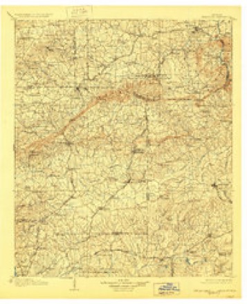
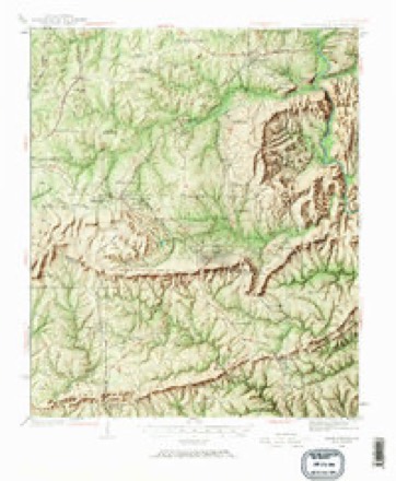
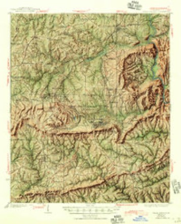
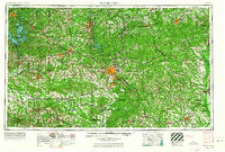
22 topographic sheets cover this place, the earliest surveyed in 1907 and the latest in 1981. It stands in the Woodland census division. It lies in ZIP code area 31826. It stands on Mossy Branch. The Survey maps it on the Shiloh quadrangle.
Topographic sheets covering this place
8 surveys from 22 printed sheetsMatched by testing this settlement's coordinate against the published boundary of every sheet in the United States Geological Survey's historical collection. Each opens the scanned sheet at the Survey.
- 1907 USGS Talbotton quadrangle1:125000, 3 printings
- 1934 USGS Warm Springs quadrangle1:62500, 7 printings
- 1936 USGS Warm Springs quadrangle1:62500, 4 printings
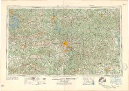
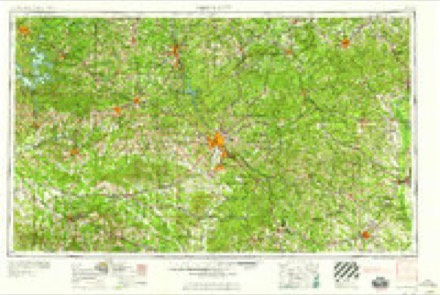
- 1955 USGS Phenix City quadrangle1:250000, 3 printings
- 1957 USGS Phenix City quadrangle1:250000
- 1958 USGS Phenix City quadrangle1:250000
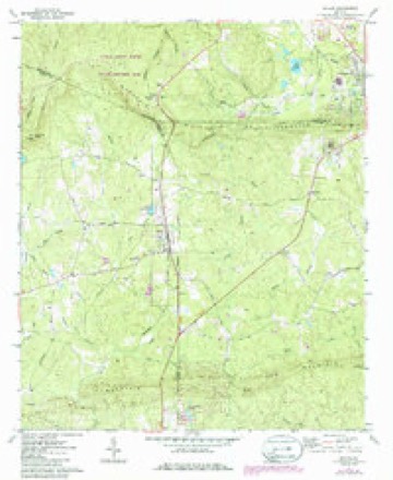
- 1971 USGS Shiloh quadrangle1:24000, 2 printings
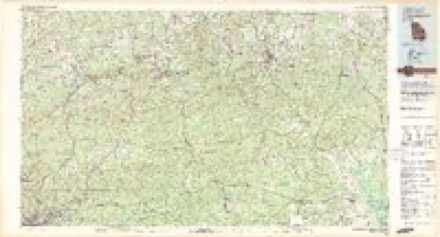
- 1981 USGS Thomaston quadrangle1:100000
Fires near this place
267 since 1992Regional context, not property-specific evidence. The federal wildfire occurrence database lists 267 fires within 5 miles of Sardis between 1992 and 2020, burning about 880 acres in total. 7 started naturally. 48 were recorded as arson. Distance is straight-line from the map coordinates, so a fire counted here may appear on a neighbouring settlement's page as well.
| Reported cause | Fires |
|---|---|
| Debris and open burning | 153 |
| Arson/incendiarism | 48 |
| Missing data/not specified/undetermined | 14 |
| Railroad operations and maintenance | 12 |
| Misuse of fire by a minor | 10 |
| Recreation and ceremony | 9 |
| Equipment and vehicle use | 8 |
| Natural | 7 |
| Smoking | 6 |
The most recent of them, most recent first, with the day each was reported and the service that recorded it.
| Date | Cause | Size | Reported by | Name on the report |
|---|---|---|---|---|
| 9 September 2007 | Arson/incendiarism | under an acre | Georgia Forestry Commission | not named |
| 8 September 2016 | Misuse of fire by a minor | under an acre | Georgia Forestry Commission | FY2017-TALBOT-005 |
| 6 September 2009 | Debris and open burning | 2.5 acres | Georgia Forestry Commission | not named |
| 30 September 2016 | Debris and open burning | under an acre | Georgia Forestry Commission | FY2017-TALBOT-009 |
| 26 September 2019 | Debris and open burning | under an acre | Georgia Forestry Commission | FY2020HARRIS004 |
| 25 September 1999 | Arson/incendiarism | 2.4 acres | Georgia Forestry Commission | not named |
| 25 September 1999 | Arson/incendiarism | 3.8 acres | Georgia Forestry Commission | not named |
| 24 September 2003 | Arson/incendiarism | under an acre | Georgia Forestry Commission | not named |
Settlements close enough to share some of these fires:
Storms near this place
3 since 2017Regional context, not property-specific evidence. The National Weather Service names Sardis in 3 storm reports between 2017 and 2025: 2 tornado, 1 thunderstorm wind. No death or injury is recorded in these reports. Each account below is quoted exactly as the forecast office filed it, from the NOAA Storm Events Database, and each date opens the federal record of that event.
| When | Event | Place named | Harm | What the report says |
|---|---|---|---|---|
| January 2017 | Tornado (EF0) | Sardis | $10,000 | The Talbot County Emergency Manager reported that an EF0 tornado with maximum winds of 80 MPH and a maximum path width of 100 yards occurred in northwest Talbot County. This tornado was produced by the same storm that produced the tornado in southern Harris County. Numerous trees were snapped or uprooted in a wilderness area southwest of Woodland along Bonnie Dixon Road. [01/21/17: Tornado #3, County #1/1, EF0, Talbot, 2017:004]. |
| June 2023 | Thunderstorm Wind | Sardis | $3,000 | Several trees reported down on Rush Creek Hwy and Chestnut Grove Rd. |
| May 2025 | Tornado (EF1) | Sardis | - | An EF1 tornado with maximum winds of 95 mph touched down in|northwest Talbot County on May 3 2025 at approximately|914 PM EDT. The tornado spun up within a super cell thunderstorm|as it was transitioning into a bowing line segment. Surrounding|weather stations and eyewitness reports suggest that the storm|may have ingested an outflow boundary from storms to the north|while the tornado was forming. The initial touch down occurred in|a wooded area east of Mountain Rd and between Hwy 116 and Rush|Creek. Shortly after touchdown the tornado moved into a more open|area where it downed multiple large oak trees and caused damage to|a window and chimney on a private residence. Tree and property|damage was sufficient in this area to warrant a EF1 rating with|estimated winds near 90 mph. The tornado then continued east and|appears to have weakened down to an EF0 as it passed through a|largely wooded area along the south side of Judge David Turner|Reservoir. Radar data indicates that the circulation likely|continued as the tornado moved east of the reservoir towards the|town of Woodland GA. Minor tree damage was found along Hawkins|Rd, indicating that the circulation was likely still in contact|with the ground as it approached the city at approximately|922 PM EDT. The tornado then tracked eastward through Woodland|intensifying back to an EF1 and causing significant damage to|trees and homes between 5th St and 6th St Numerous snapped and|topped oaks and pines were noted in this area along with damage|to approximately 10 residences. The most significant EF1 damage|was noted along 7th Ave, where porch roofs on several homes were|removed. This also appears to be where the tornado reached its|maximum intensity with winds near 95 mph. Thankfully no|significant injuries were reported in the city. Upon exiting|Woodland toward the northeast, the tornado weakened rapidly then|lifted somewhere in a wooded area just east of the Seaboard Coast|Railroad Line at around 924 PM EDT. |
Nearest settlements
The eight closest, with where each one stands in the county. Distances are straight-line, computed from the Geographic Names Information System coordinates.
| Map | Place | Distance | Sheets |
|---|---|---|---|
| Flint Hill | 1.8 miles | 22 | |
| Tax Crossroads | 2.4 miles | 22 | |
| Hawkins Crossroads | 2.9 miles | 22 | |
| Oak Mountain Spring (historical) | 3.9 miles | 22 | |
| Greens Mill | 4.0 miles | 22 | |
| Cunningham Crossroads | 4.1 miles | 22 | |
| Woodland | 4.1 miles | 22 | |
| Belleview | 4.6 miles | 22 |
Elsewhere
Matched on this settlement's Geographic Names Information System number rather than its name, so it cannot be a different place of the same name in another state.
| Wikidata item Q49367069 | The structured record the population and elevation above come from. Public domain (CC0). |
Provenance
This settlement is recorded in the Geographic Names Information System as feature 350838. The sheet list is computed by point-in-boundary test against the United States Geological Survey's historical topographic inventory. Both are works of the United States government and carry no copyright under 17 U.S.C. 105.
Wildfire. Short, Karen C. 2022. Spatial wildfire occurrence data for the United States, 1992-2020 [FPA_FOD_20221014]. 6th Edition. Fort Collins, CO: Forest Service Research Data Archive. https://doi.org/10.2737/RDS-2013-0009.6 Collected with United States Government funding and usable without additional permissions or fees.
Storms. NOAA National Centers for Environmental Information, Storm Events Database https://www.ncei.noaa.gov/stormevents/ A work of the United States government, no copyright under 17 U.S.C. 105. Narratives are quoted verbatim from the National Weather Service report and are not edited or summarised.