 Block
From the record
3 National Register listings published here.
Sources: the National Register database, National Park Service
62 topographic sheets cover 20 settlements here, and 3 properties are on the National Register of Historic Places.
3 National Register listings published here.
Sources: the National Register database, National Park Service
Every property in this county listed on the National Register of Historic Places, with the year it was listed and the federal nomination document.
| Photograph | Property | Type | Listed | Reference |
|---|---|---|---|---|
 | Alexander Hotel | building | 1982 | 82002481 |
 | Glennwanis Hotel | building | 2003 | 03000199 |
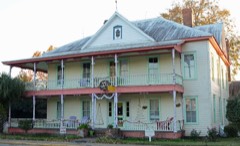 | Smith-Nelson Hotel | building | 2001 | 01000305 |
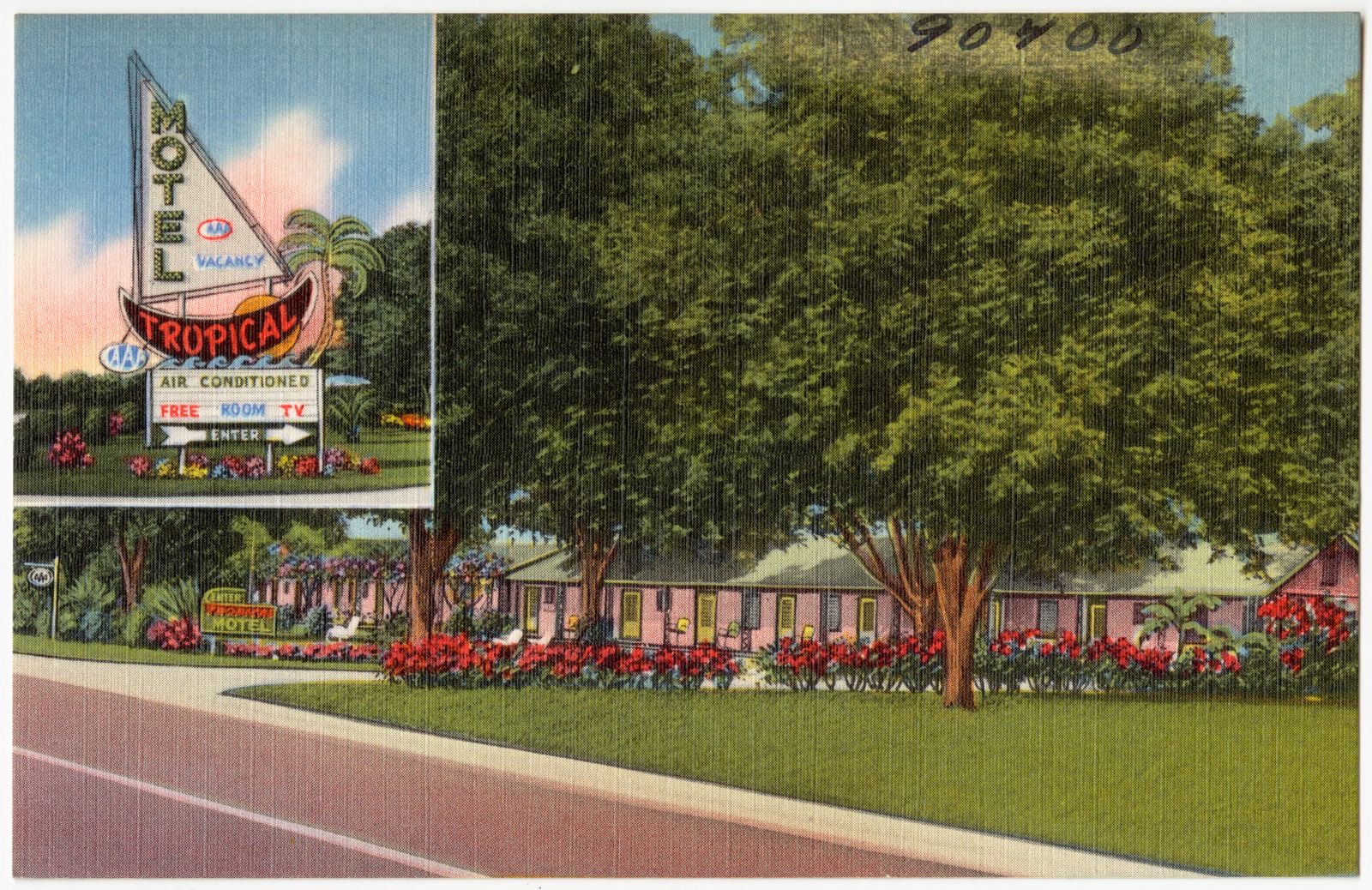
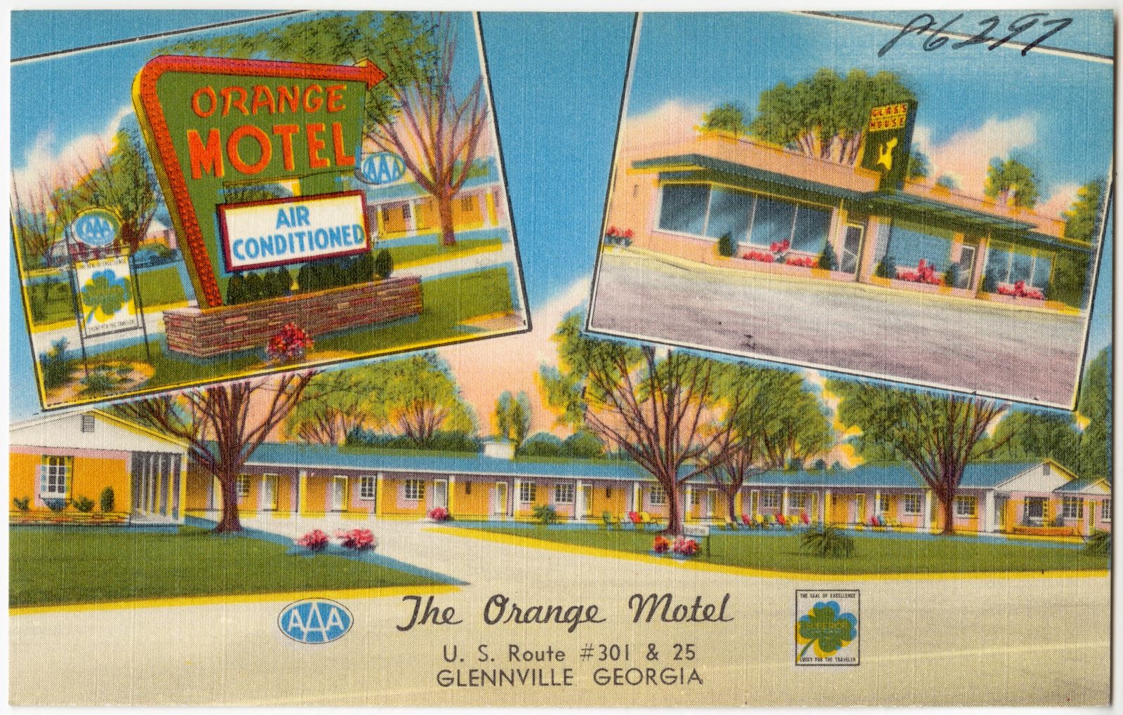
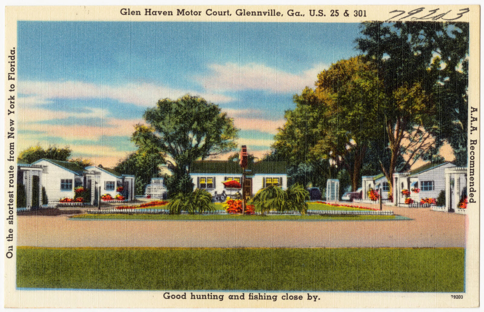
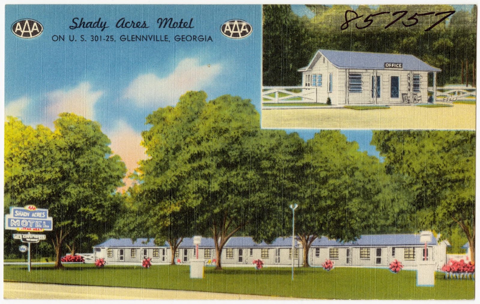
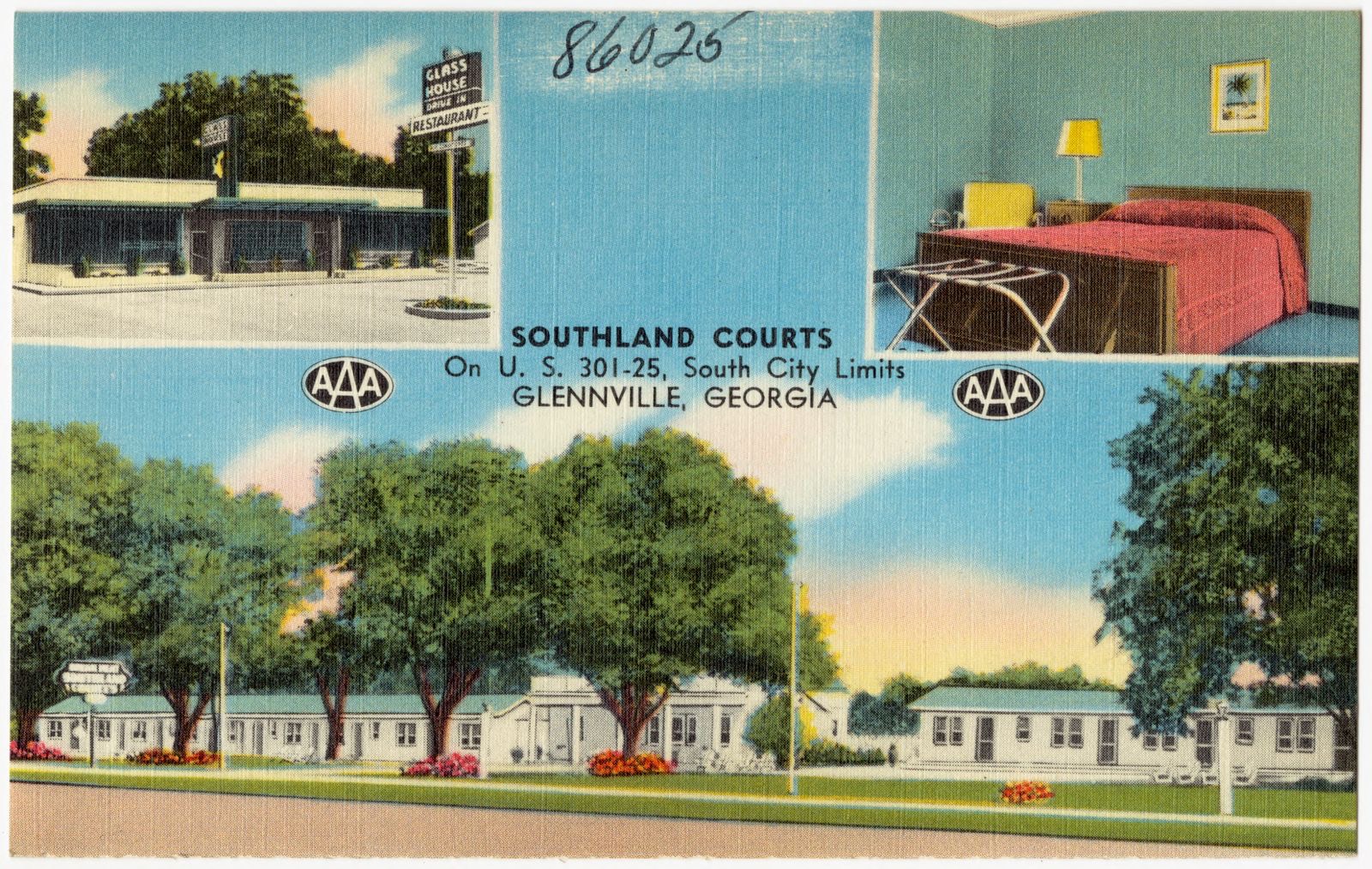
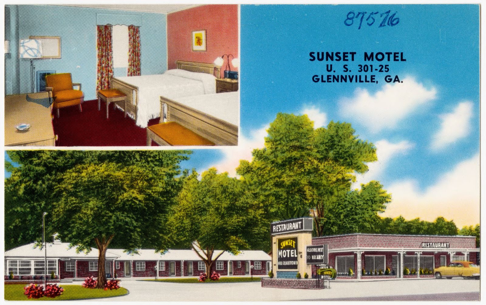
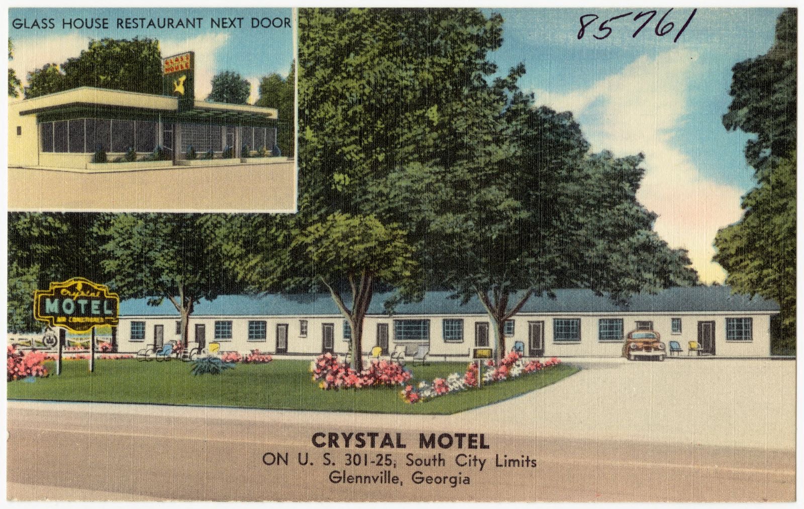
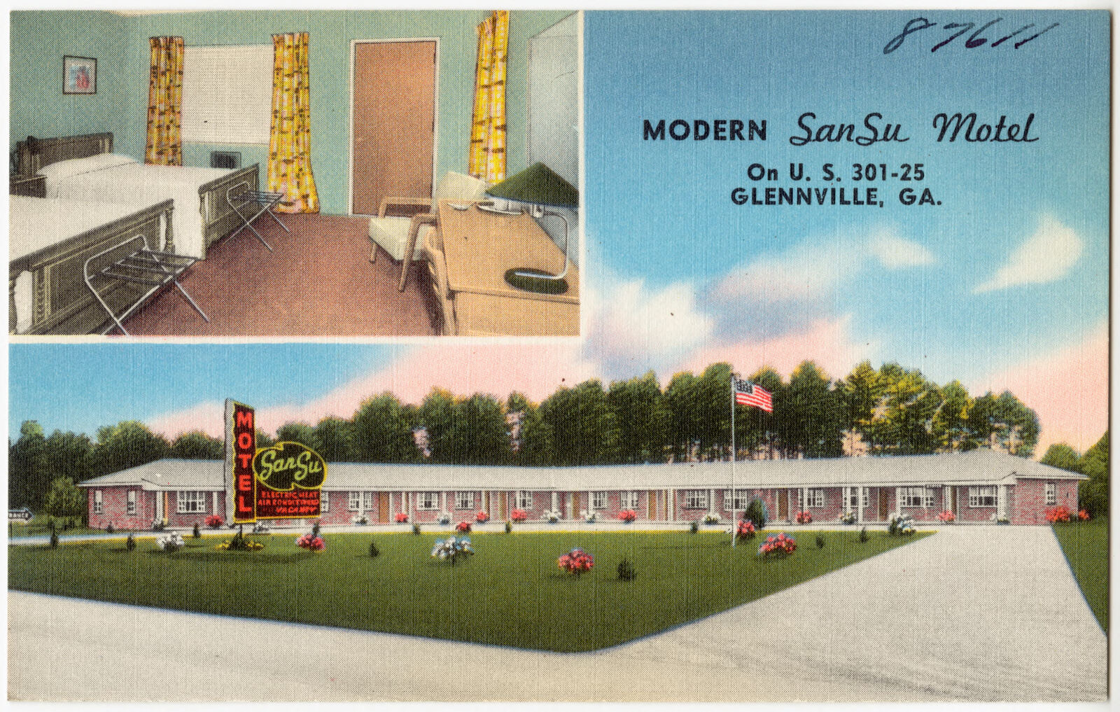
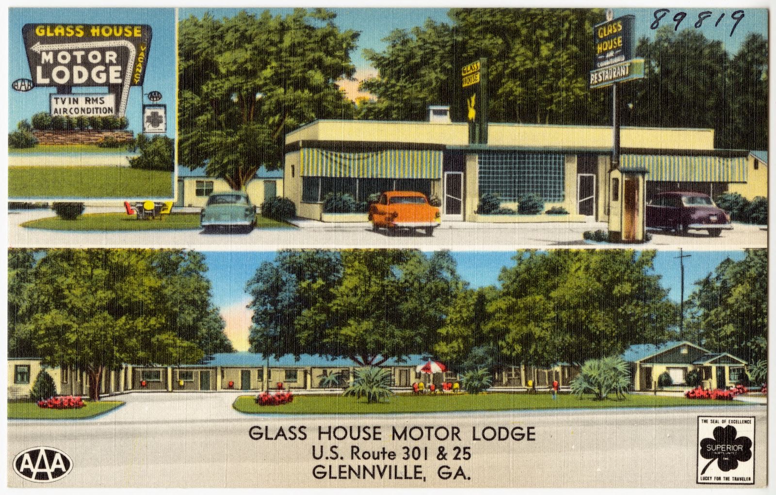
Selected from the Digital Public Library of America's 10 image records catalogued for this county. Every one shown here carries a public-domain status or a licence that permits reuse on a site that carries advertising; non-commercial, share-alike and restricted images are excluded. The selection is spread across the county's towns (at most eight per town), so no single institution's bulk upload crowds out the rest. Each opens the holding library's record, and the complete set at the Digital Public Library of America is one click away.

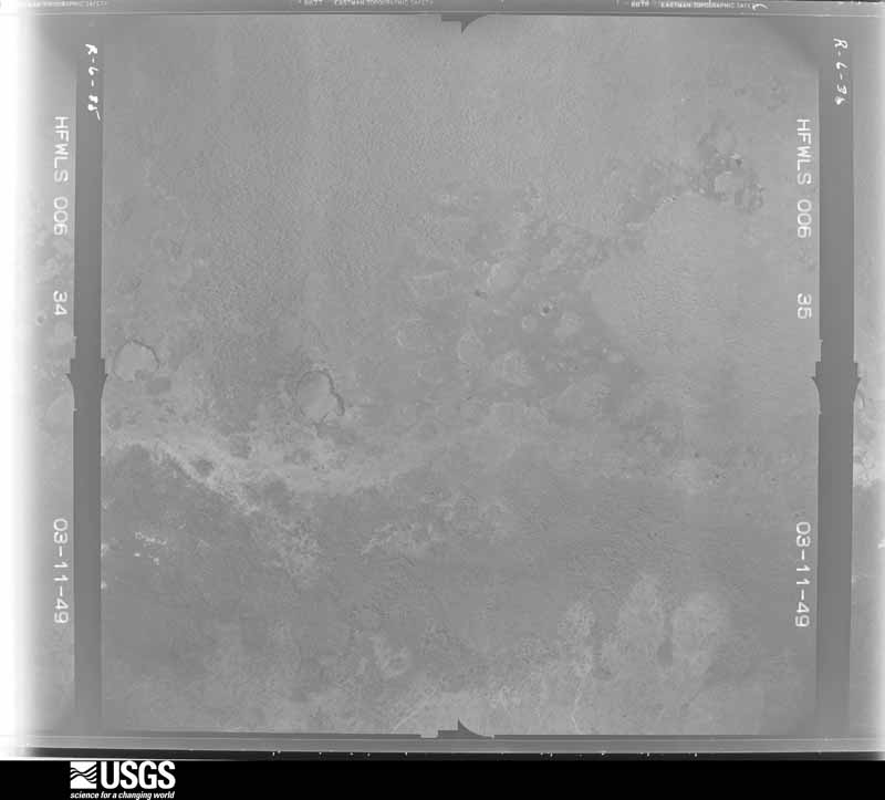
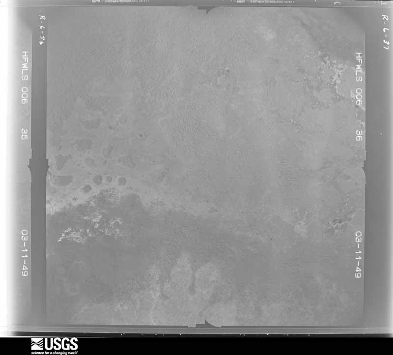
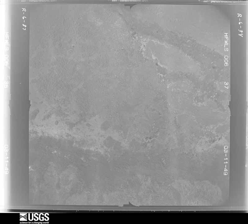
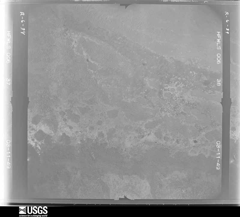
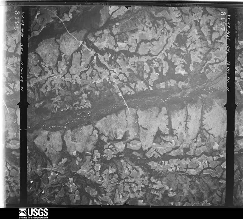
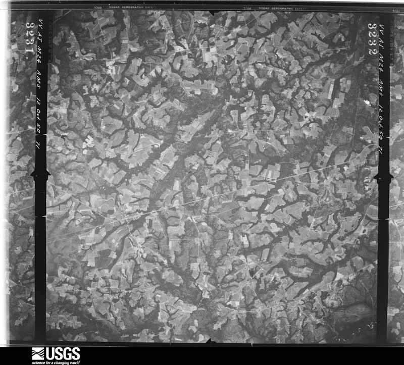
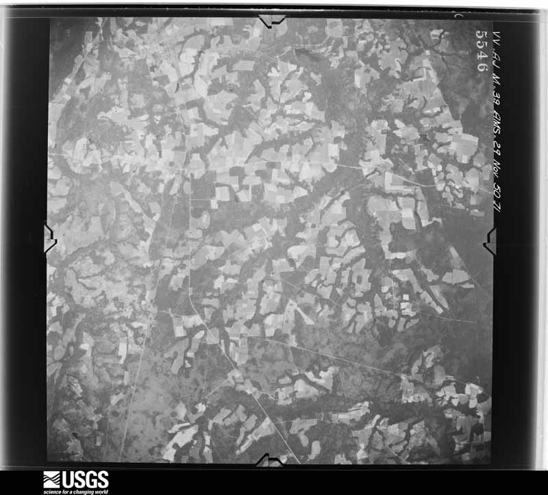
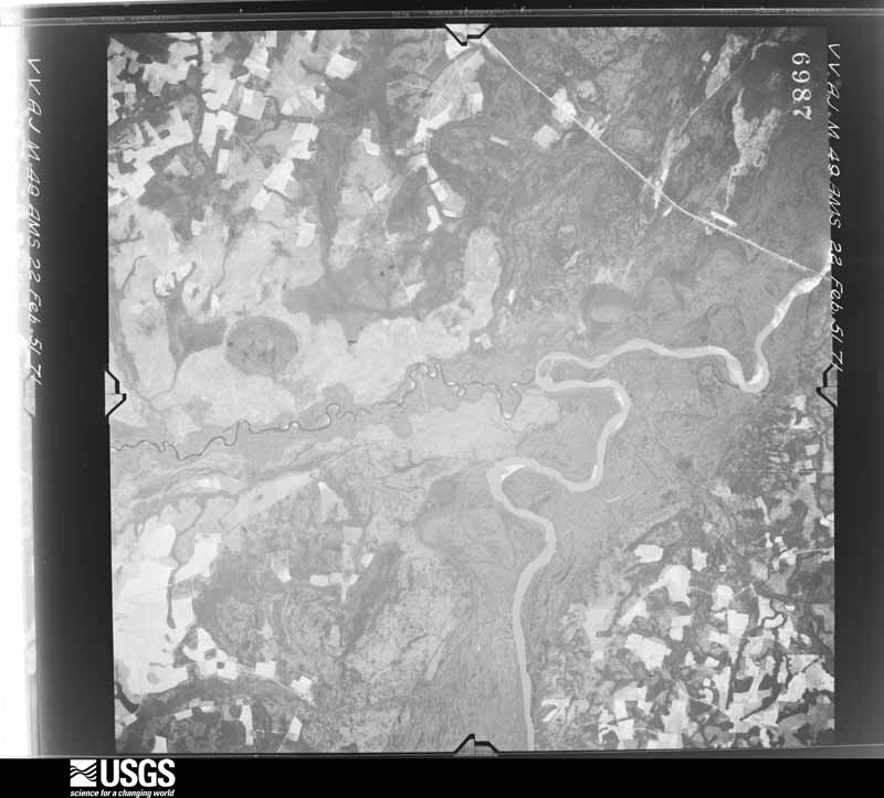
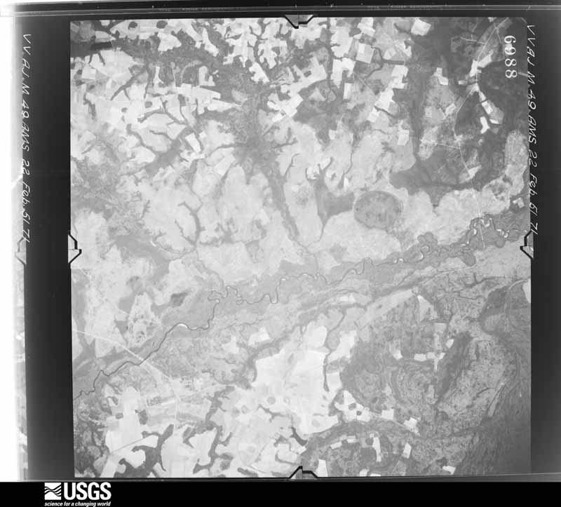
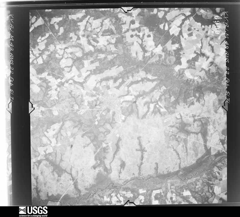
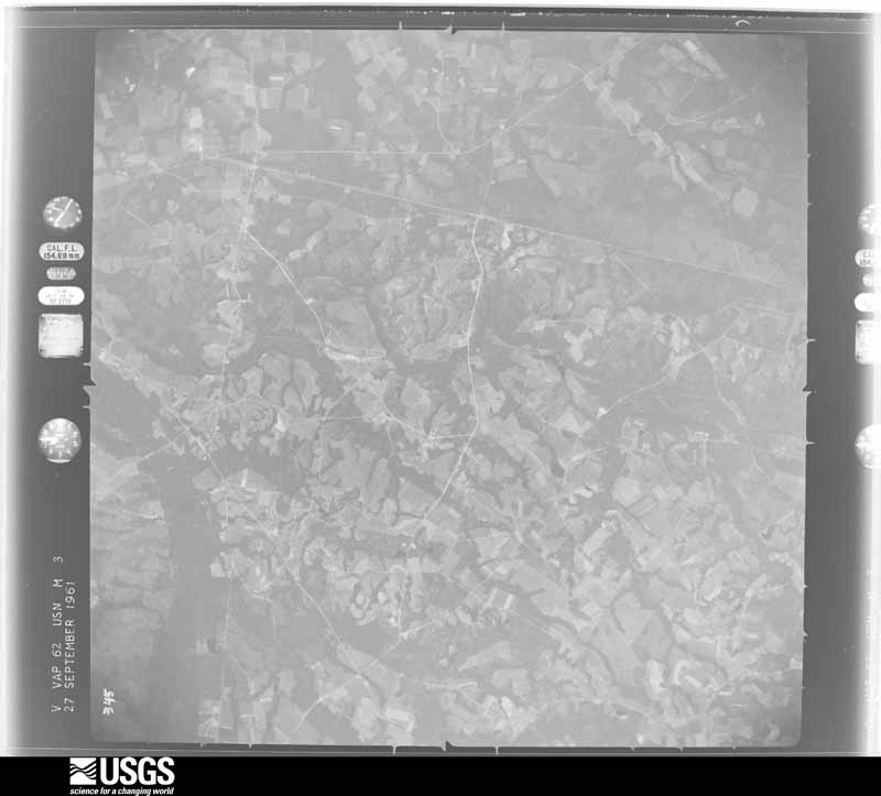
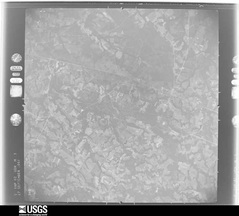
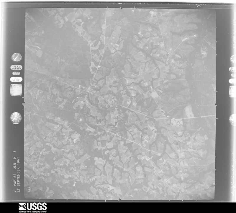
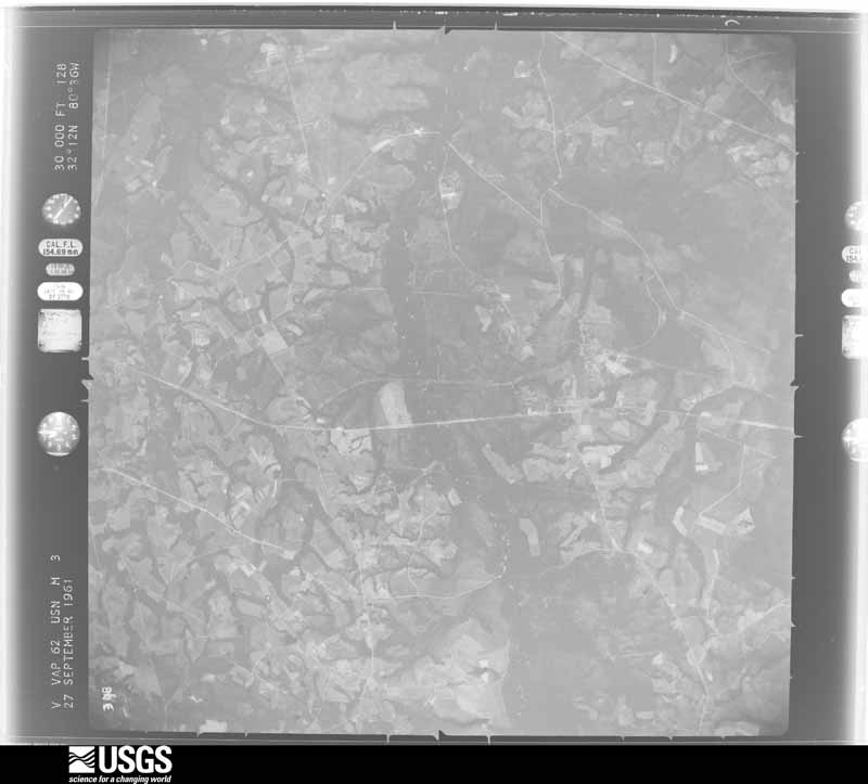
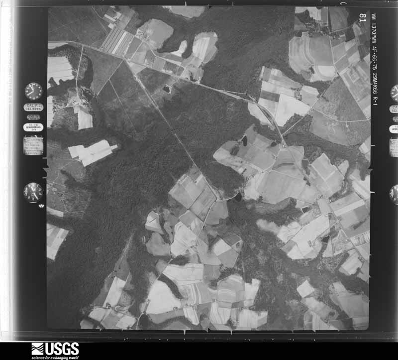
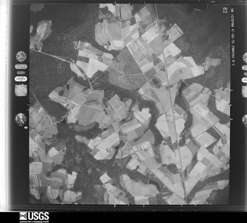
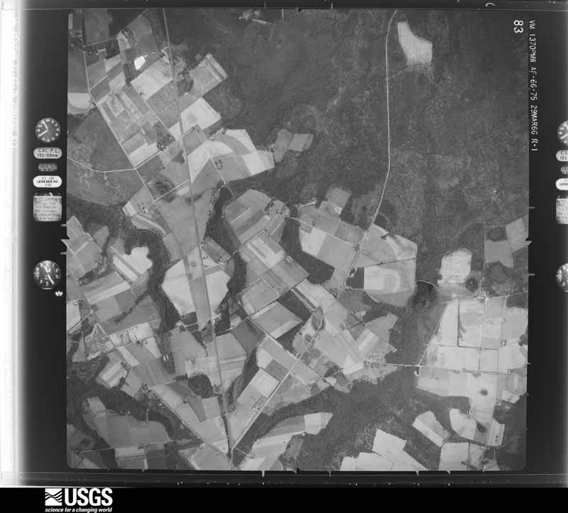
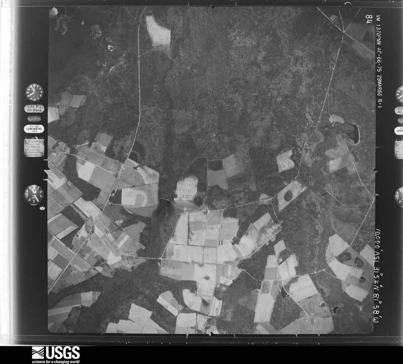
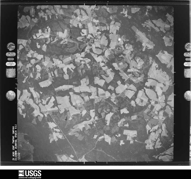
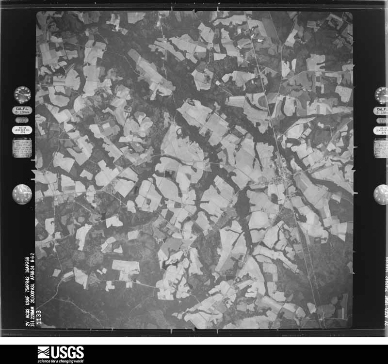
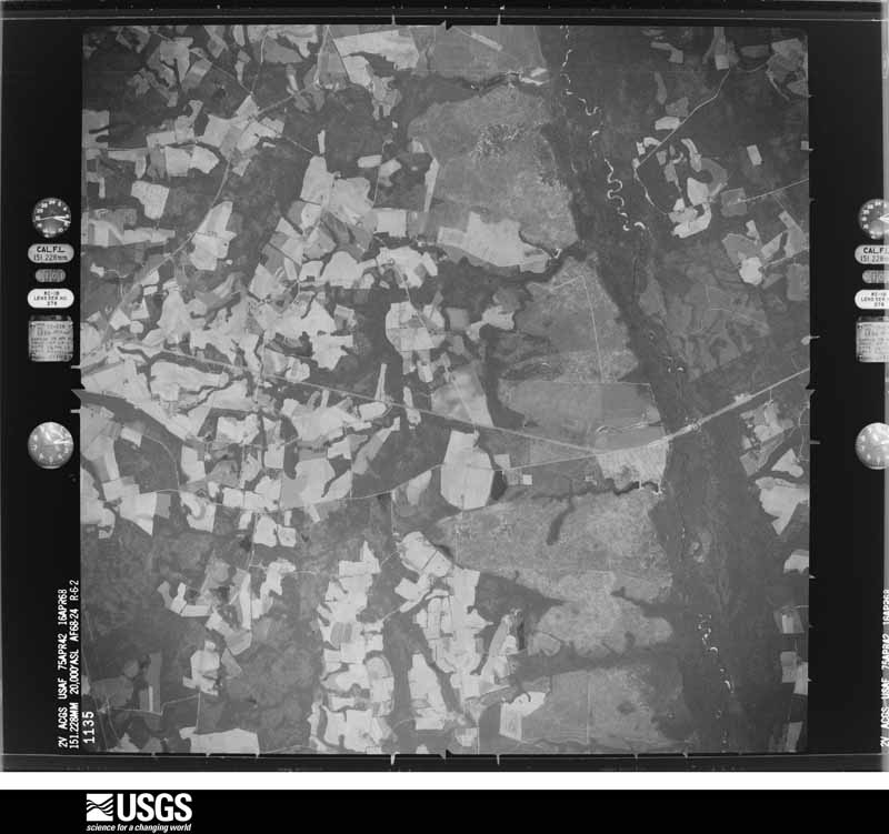
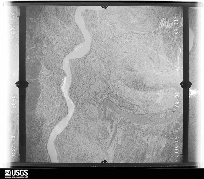
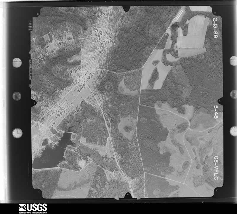
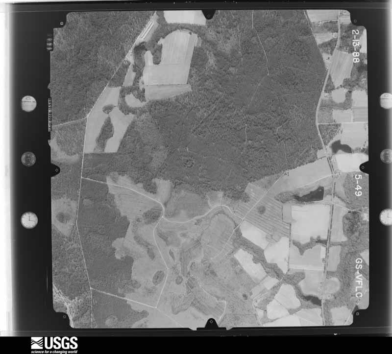
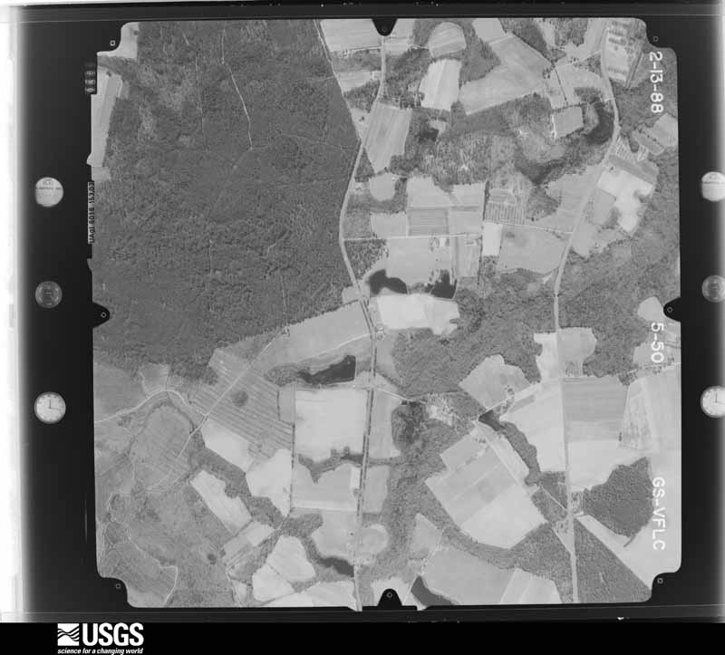
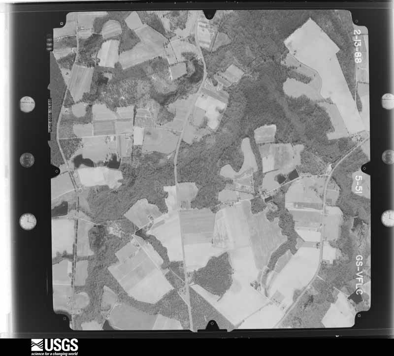
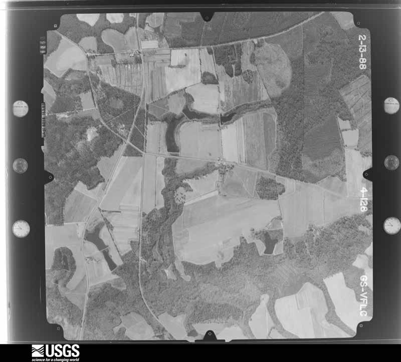
Flown by the U.S. Geological Survey between 1937 and 1989, the Aerial Photo Single Frames collection is the definitive mid-century view of the land: fields, roads and rivers as the camera saw them. The Survey holds 1,719 frames inside the rectangle that bounds this county; the 48 frames below were taken over the county itself, chosen across the decades of flights (at most four a year from that rectangle), so one flight cannot crowd out the rest. The full set is free to browse and download at EarthExplorer under the dataset Aerial Photo Single Frames.

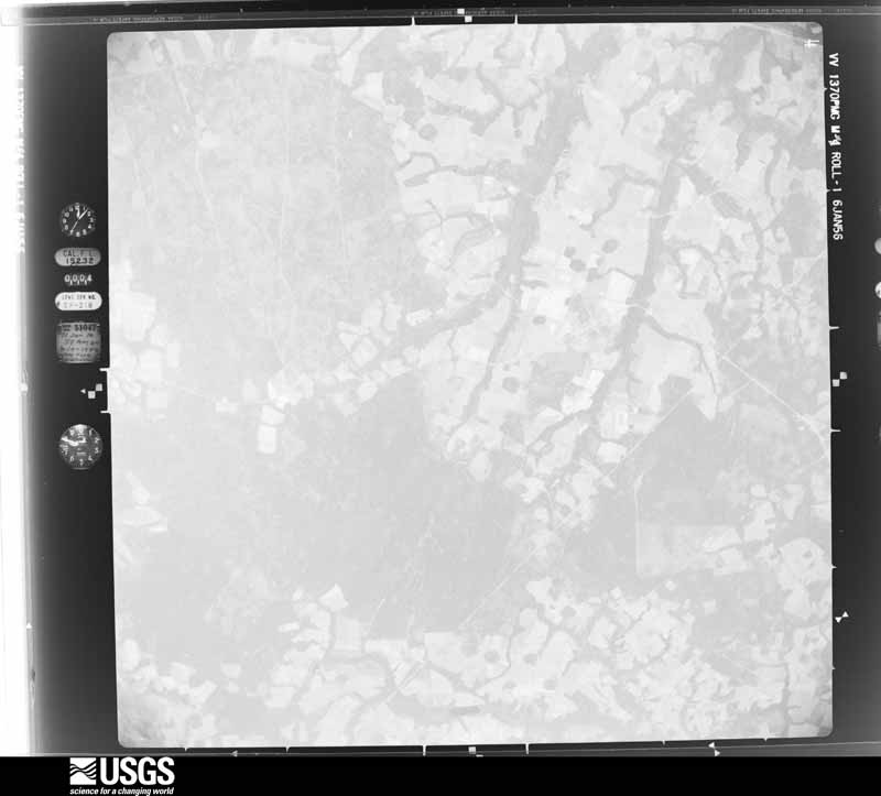
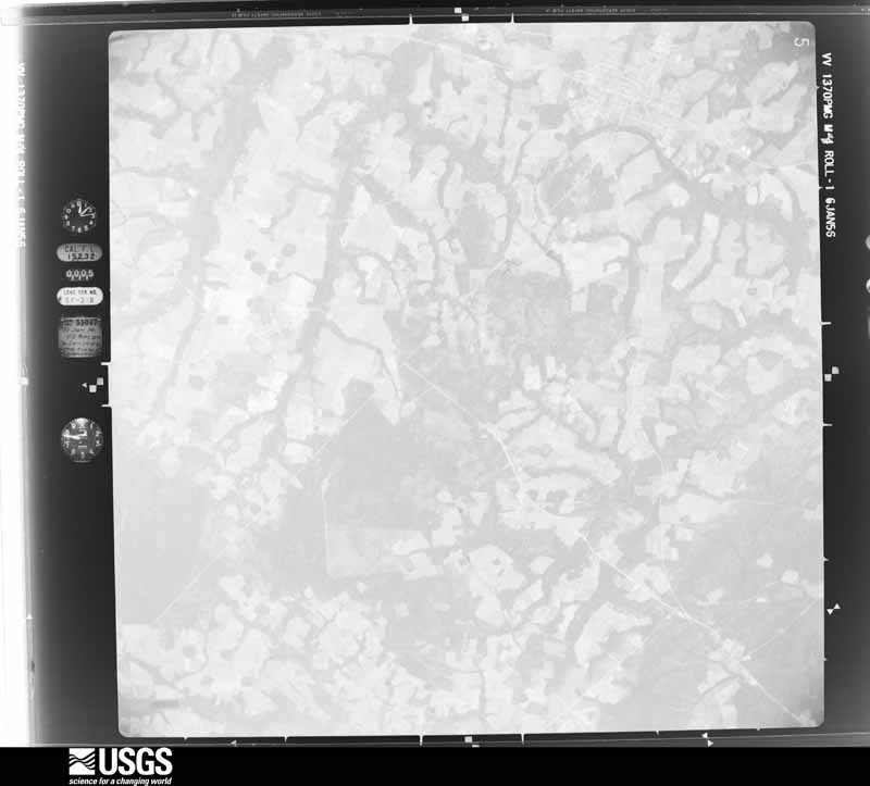
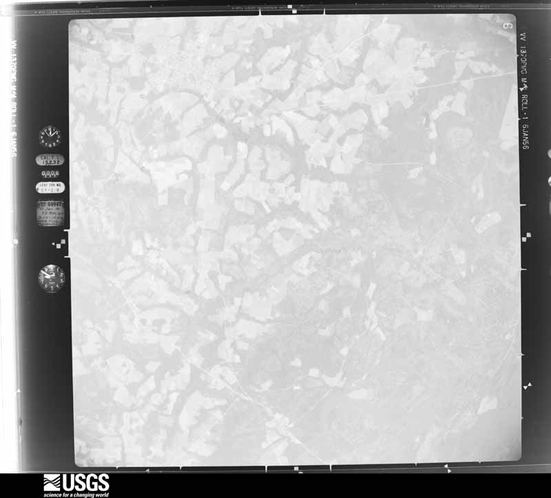
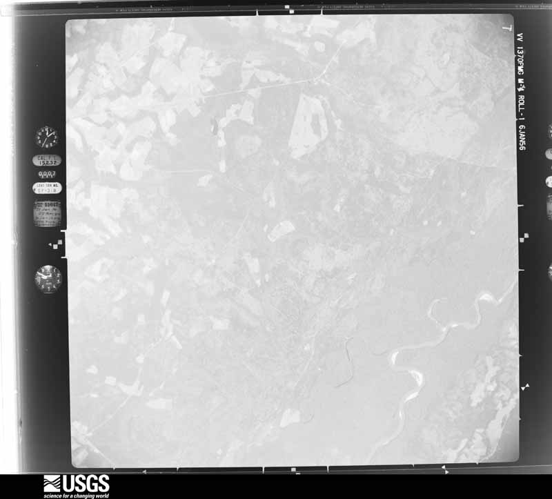

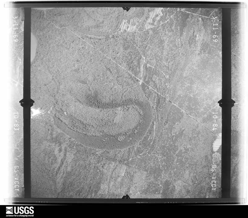
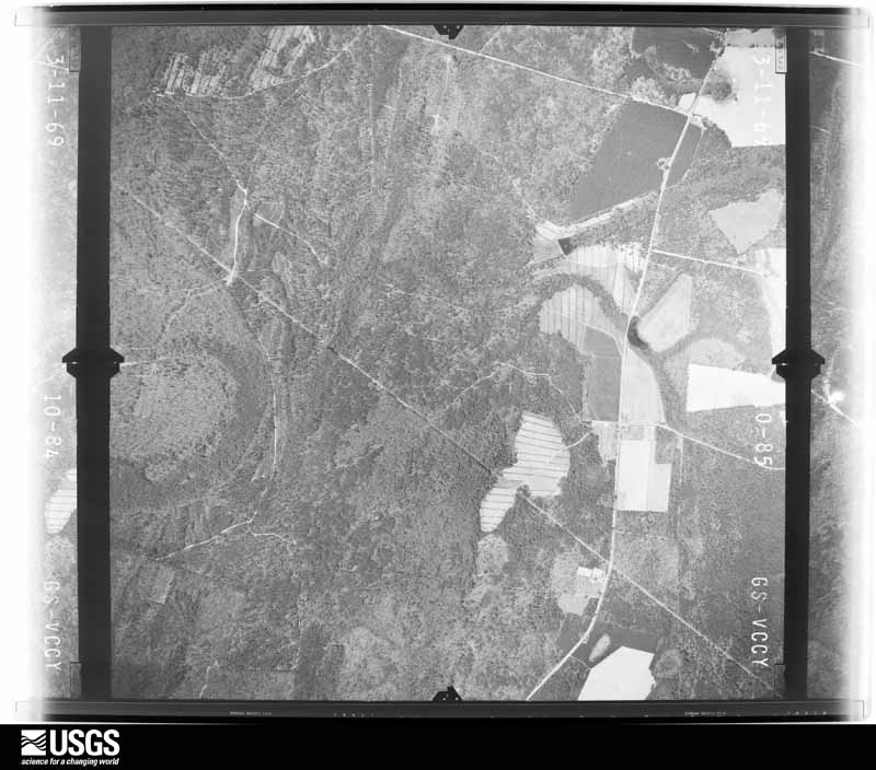
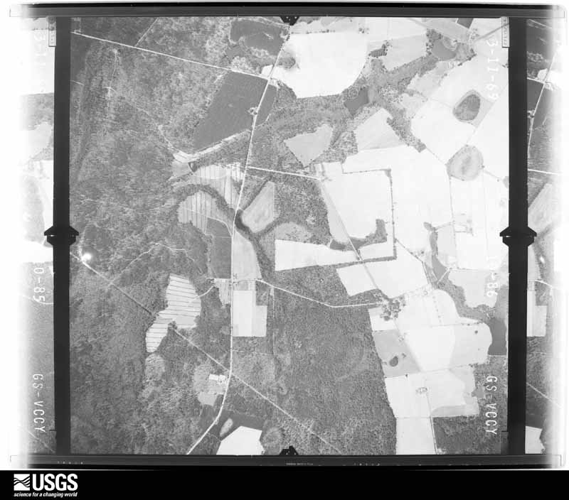
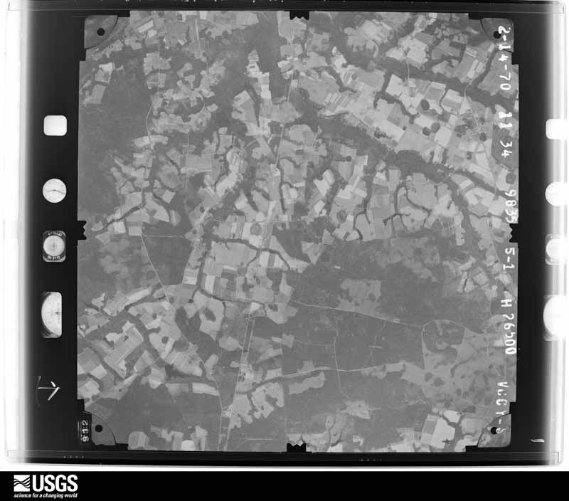







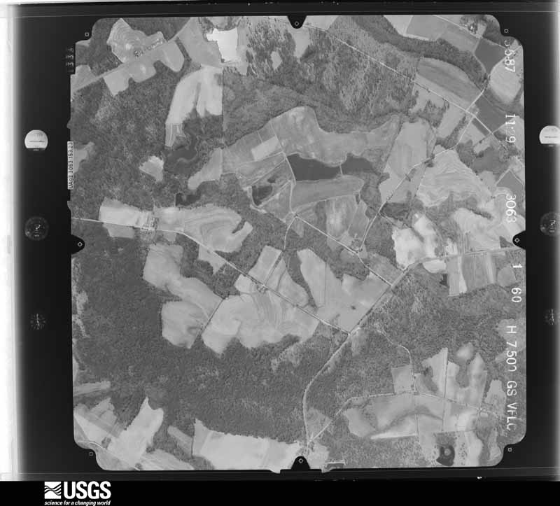
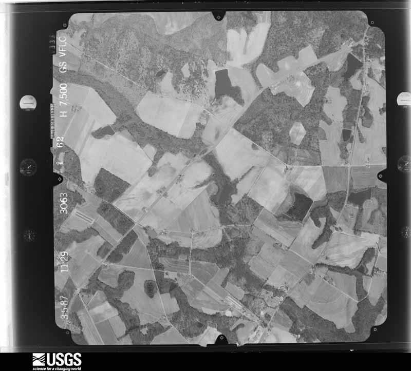
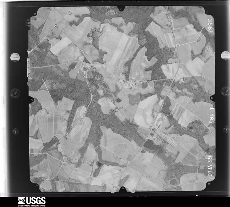
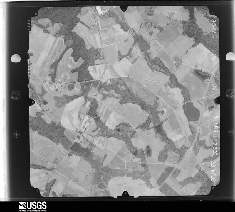
The thermometers that kept this county's weather, and the gages that measured the flow of its streams, as the federal records hold them. The extremes below are measured values from those records, not estimates.
Who lived here in 1950, one enumeration district at a time, as the Census Bureau described each district. Each row opens its official National Archives result, with Population Schedules and ED Maps available there.
Every wildfire the federal occurrence database records inside this county: 1,696 of them, burning about 6,026 acres. 82 started naturally and 344 were recorded as arson. Each settlement page carries the fires within five miles of it.
| Reported cause | Fires |
|---|---|
| Debris and open burning | 999 |
| Arson/incendiarism | 344 |
| Equipment and vehicle use | 105 |
| Natural | 82 |
| Missing data/not specified/undetermined | 49 |
| Misuse of fire by a minor | 48 |
| Smoking | 40 |
| Recreation and ceremony | 25 |
| Railroad operations and maintenance | 4 |
The five largest, by the area the report gives. One of them was set deliberately.
| Date | Cause | Size | Reported by | Name on the report |
|---|---|---|---|---|
| 17 April 1997 | Debris and open burning | 305 acres | Georgia Forestry Commission | not named |
| 11 June 2011 | Natural | 303 acres | Georgia Forestry Commission | FY2011-TATTNALL-106 |
| 11 March 1993 | Debris and open burning | 154 acres | Georgia Forestry Commission | not named |
| 16 March 2018 | Debris and open burning | 130 acres | Georgia Forestry Commission | FY2018TATTNALL026 |
| 25 April 2012 | Debris and open burning | 99 acres | Georgia Forestry Commission | FY2012-TATTNALL-065 |
| 14 August 2011 | Debris and open burning | 92 acres | Georgia Forestry Commission | FY2012-TATTNALL-006 |
| 15 March 1994 | Debris and open burning | 88 acres | Georgia Forestry Commission | not named |
| 18 March 1993 | Arson/incendiarism | 80 acres | Georgia Forestry Commission | not named |
Every settlement page carries the fires within five miles of it - see the settlement index below.
The NOAA Storm Events Database holds 303 reports for this county, causing 3 deaths, 18 injuries and about $5,252,750 in recorded property damage. Each settlement page carries the reports that name it.
| Kind of event | Reports |
|---|---|
| Thunderstorm Wind | 196 |
| Hail | 68 |
| Flash Flood | 21 |
| Tornado | 13 |
| Lightning | 5 |
The most serious of them, by death, then injury, then recorded damage. The accounts are quoted exactly as the forecast office filed them.
| When | Event | Place named | Harm | What the report says |
|---|---|---|---|---|
| May 1974 | Tornado (F2) | not stated | 2 killed, 7 hurt, $2,500,000 | no account filed |
| May 1999 | Lightning | Cobbtown | 1 killed | no account filed |
| July 1986 | Thunderstorm Wind | not stated | 6 hurt | no account filed |
| April 1971 | Tornado (F2) | not stated | 3 hurt, $25,000 | no account filed |
| May 2008 | Tornado (EF3) | Cobbtown | 2 hurt, $1,000,000 | A confirmed EF-3 Tornado crossed into extreme northwestern Tattnall county from Toombs county, then continued east-southeastward into the community of Cobbtown, Georgia before turning east and dissipating. The first indications of significant damage, consistent with an EF-1 Tornado, occurred along Representative Kennedy Road where a mobile home was partially destroyed. A well defined path of debris was noted trailing southeast of this area across open farm fields. Several homes were also severely damaged with roofs blown off along Henry Moxley Road about 1 mile southeast of Representative Kennedy Road.||The Tornado continued to strengthen as it turned east toward Cobbtown, Georgia and peaked in intensity as it tracked near the intersection of Georgia State Highways 121 and 57. Here the Tornado completely leveled a brick convenience store and caused considerable damage to trees and nearby structures. Two people working in the store at the time of the Tornado were injured but not killed. The damage pattern in this area was consistent with an EF-3 Tornado with winds estimated between 140 and 150 mph. Also in this same general area, but south of the Tornado track there was evidence of a strong downburst. The winds were estimated to be around 100 mph with the downburst, likely associated with the rear flank downdraft of the Supercell Thunderstorm.||The Tornado continued to move east across open farm fields where extensive tree damage and minor structural damage consistent with an EF-1 and EF-0 Tornado was noted. The Tornado dissipated about 1.5 miles east of Cobbtown, however occasional bouts of non-tornadic straight line winds were observed across portions of northeast Tattnall County and northern Evans County near Undine, Georgia. ||Maximum sustained winds were estimated between 140 and 150 mph with a maximum width of approximately 200 yards. Considerable damage was reported along the path of the Tornado, and although no one was killed, 2 people were injured. |
| February 2009 | Lightning | Reidsville | $500,000 | An emergency manager from Tattnall county reported a lightning strike that ignited a fire which caused a church to be destroyed in Reidsville, Georgia. |
| June 1998 | Lightning | Glennville | $250,000 | Lightning caused fire struck a church and burned it to the ground. |
| March 1991 | Tornado (F1) | not stated | $250,000 | no account filed |
| May 1984 | Tornado (F1) | not stated | $250,000 | no account filed |
| January 2006 | Thunderstorm Wind | Reidsville | $55,000 | Thunderstorm winds knocked a roof off a house just north of Reidsville and knocked 2 roofs off houses and destroyed sheds in Collins. Trees were also blown down in Collins. |
| May 1997 | Thunderstorm Wind | Reidsville | $50,000 | Scattered areas of trees, large limbs and powerlines down. |
| June 2010 | Thunderstorm Wind | Tison | $30,000 | An emergency manager reported approximately 25 trees uprooted and power lines down around the Glennville to Mendes areas. |
| June 1977 | Tornado (F1) | not stated | $25,000 | no account filed |
| January 1971 | Tornado (F2) | not stated | $25,000 | no account filed |
| January 1971 | Tornado (F2) | not stated | $25,000 | no account filed |
| August 2024 | Flash Flood | Hughland | $20,000 | A Tattnall County emergency manager reported a collapsed section of Levi Kennedy Road near Hodges Pond due to floodwaters. |
| August 2024 | Flash Flood | Mendes | $20,000 | A Tattnall County emergency manager reported a road collapse due to floodwaters along Harmony Church Road. |
| August 2024 | Flash Flood | Altamaha | $20,000 | A Tattnall County emergency manager reported floodwaters causing a collapsed paved section of Cedar Hall Road by the Big Club House Pond. |
| May 2025 | Flash Flood | Manassas | $15,000 | Tattnall County dispatch reported that a portion of Hillview Road was washed out and damaged due to intense rainfall near the intersection with Lucy Callaway Road. |
| November 2013 | Thunderstorm Wind | Mendes | $15,000 | Strong winds associated with a thunderstorm shifted a double-wide mobile home a few feet off its foundation. Also, the winds tore the siding off an outbuilding and snapped off, uprooted, or broke off large branches from approximately two dozen trees. |
| July 2017 | Lightning | Glennville | $10,000 | A homeowner reported that lightning struck the side of a house on Auburn Circle. The lightning strike resulted in minor damage to a wall and damage several nearby appliances. |
| May 2008 | Thunderstorm Wind | Hughland | $10,000 | Numerous trees were reported down between Reidsville and Glennville. The Tattnall County Emergency Manager reported that all trees were blown down in one direction and consistent with straight line wind damage. |
| February 2004 | Tornado (F0) | Reidsville | $10,000 | A tornado destroyed a shed and damaged a hospital biohazard building, damaged the 911 facility, downed trees, and blew out windows. |
| June 1995 | Thunderstorm Wind | Reidsville | $10,000 | Thunderstorm winds knocked down trees and tree limbs, resulting in power outages. |
| August 2011 | Thunderstorm Wind | Reidsville | $8,000 | The Tattnall county warning point reported numerous trees down in Reidsville, Georgia. One tree was reported down on a home. |
| November 2011 | Thunderstorm Wind | Collins | $8,000 | The Tattnall County Warning Point reported a tree down on Ward Street in Collins and numerous other trees throughout the town. |
| May 2012 | Thunderstorm Wind | Midway | $6,000 | Evans County warning point reported a power pole and power lines down on State Route 250. |
| August 2007 | Thunderstorm Wind | Reidsville Arpt | $5,000 | The Tattnall county Emergency Manager reported that a mobile home had been knocked over along Highway 56. One injury was reported and the individual was transported to the hospital by an ambulance. A small brush fire was also reported to have started from a lightning strike. |
| June 1994 | Thunderstorm Wind | Glenville | $5,000 | A house received roof damage from a fallen tree blown over by thunderstorm winds. |
| June 1994 | Thunderstorm Wind | Glennville | $5,000 | Several large trees and power lines were downed by thunderstorm , winds. |
| June 1994 | Thunderstorm Wind | Glennville | $5,000 | Several trees, a few power lines and transformers were downed by thunderstorm winds. |
| June 2011 | Thunderstorm Wind | Glennville | $4,000 | A county official reported numerous trees down near Glennville. |
| August 2010 | Thunderstorm Wind | Cobbtown | $4,000 | An electric company reported trees blown down near Tattnall Georgia. |
| August 2011 | Thunderstorm Wind | Glennville | $3,250 | The Tattnall county warning point reported trees and power lines down in Glennville, Georgia. |
| July 2016 | Thunderstorm Wind | Glennville | $3,000 | Tattnall County dispatch reported two trees down along North Veterans Highway in Glennville. One tree fell on a car in a parking lot. |
| April 2013 | Thunderstorm Wind | Mendes | $3,000 | Several trees were reported down on Harmony Church Road. |
| October 2008 | Thunderstorm Wind | Reidsville | $3,000 | The public reported that an 8 by 10 foot aluminum shed was blown over 1 mile south of Reidsville, GA. The public also reported a 50 foot tall pecan tree about 3 to 4 feet in diameter was blown down in the same area. Additionally, the public reported that shingles were blown off a porch roof in the same area with small hail covering the floor of the porch and parts of the yard. A window was also blown out of the home. |
| July 2007 | Thunderstorm Wind | Mendes | $3,000 | Trees and power lines were reported down in Mendes. |
| July 2010 | Thunderstorm Wind | Reidsville Arpt | $2,500 | Law enforcement reported a tree and power line down across the road near the intersection of Old Reidsville-Collins Road and Burkhalter Road, a tree down near the intersection of Lazy K Lane and Highway 178, and estimated winds of 60 mph, in Reidsville, South Carolina. |
| March 1961 | Tornado (F2) | not stated | $2,500 | no account filed |
| June 1957 | Tornado (F0) | not stated | $2,500 | no account filed |
| June 2013 | Thunderstorm Wind | Tison | $2,000 | The public reported power poles down near the intersection of George Mcleod Road and Highway 121. |
| February 2012 | Thunderstorm Wind | Midway | $2,000 | The Glennville Post Office reported trees down along Georgia State Road 205 between Glennville and Daisy. |
| May 2012 | Thunderstorm Wind | Altamaha | $2,000 | A spotter reported several trees blown down near Reidsville, also with dime size hail. |
| June 2012 | Thunderstorm Wind | Cobbtown | $2,000 | A sheriff reported trees down along Woodrow Williams Road. |
| August 2012 | Thunderstorm Wind | Manassas | $2,000 | Thunderstorm winds blew down power lines near the intersection of Sam Green Road and Herbert Holton Road. |
| March 2011 | Hail | Midway | $2,000 | The Public reported golf ball size hail in Midway, Georgia. The hail caused some window damage to the individuals residence. |
| June 2011 | Thunderstorm Wind | Hughland | $2,000 | The public reported trees down along portions of Jones Lake. |
| June 2011 | Thunderstorm Wind | Glennville | $2,000 | Law enforcement reported trees down. |
| May 2009 | Thunderstorm Wind | Glennville | $2,000 | Law Enforcement reported trees and a power line down in Glennville, Georgia. |
| June 2009 | Thunderstorm Wind | Cobbtown | $2,000 | The public reported several trees down on Buster Brown Road, 1 mile east of Cobbtown, Georgia. |
| August 2007 | Thunderstorm Wind | Reidsville | $2,000 | The Tattnall County Warning Point reported several trees down in Reidsville. |
| July 2009 | Thunderstorm Wind | Tison | $1,500 | Law Enforcement reported several trees down in Tison, Georgia. |
| February 2008 | Thunderstorm Wind | Reidsville Arpt | $1,500 | Power lines were reported down near Reidsville, Georgia. |
| February 2008 | Thunderstorm Wind | Reidsville | $1,500 | A few power lines were reported down in Reidsville, Georgia. |
| August 2008 | Thunderstorm Wind | Reidsville Arpt | $1,500 | Law enforcement reported trees down in the employee housing section of the Georgia State Prison. |
| December 2008 | Thunderstorm Wind | Glennville | $1,500 | Law enforcement reported two large trees and a power line down in Glennville, Georgia. |
| July 2007 | Thunderstorm Wind | Reidsville | $1,500 | Several trees were reported down in the Reidsville area. |
| June 2023 | Thunderstorm Wind | Hughland | $1,000 | The Tattnall County 911 Call Center reported a tree down near the intersection of Bubba Kennedy Drive and Cox Road. |
| August 2023 | Thunderstorm Wind | Tison | $1,000 | Law enforcement reported one tree down near the intersection of Highway 144 and Highway 178. |
Named settlements recorded in the Geographic Names Information System, each with the topographic sheets covering it. Villages, hamlets and abandoned places alike. Each is shown with the nearest named watercourse or landform and the survey quadrangle it falls on.
Glennville census division · 30427 · On Spring Branch · Glennville quadrangle
17 sheets, 1920 to 1981
No longer a settlement
Glennville census division · 30427 · On Blocker Creek · Glennville quadrangle
17 sheets, 1920 to 1981
No longer a settlement
Glennville census division · 30427 · Reidsville East quadrangle
9 sheets, 1957 to 1988
No longer a settlement
Collins census division · 30421 · Ohoopee quadrangle
9 sheets, 1957 to 1988
No longer a settlement
Glennville census division · 30427 · Glissons Millpond quadrangle
19 sheets, 1919 to 1981
No longer a settlement
Glennville census division · 30427 · Glennville quadrangle
17 sheets, 1920 to 1981
No longer a settlement
Glennville census division · 30427 · Glissons Millpond quadrangle
19 sheets, 1919 to 1981
No longer a settlement
Glennville census division · 30427 · Deans Crossing quadrangle
19 sheets, 1919 to 1981
No longer a settlement
The vanished settlements of Tattnall County: the places named above that are no longer on the map.