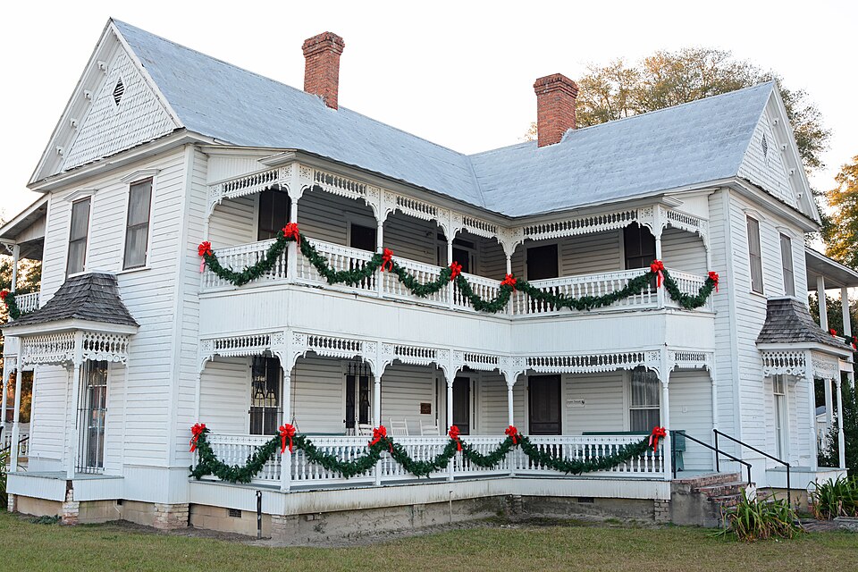
| February 2009 | Lightning | Reidsville | $500,000 | An emergency manager from Tattnall county reported a lightning strike that ignited a fire which caused a church to be destroyed in Reidsville, Georgia. |
| January 2006 | Thunderstorm Wind | Reidsville | $55,000 | Thunderstorm winds knocked a roof off a house just north of Reidsville and knocked 2 roofs off houses and destroyed sheds in Collins. Trees were also blown down in Collins. |
| May 1997 | Thunderstorm Wind | Reidsville | $50,000 | Scattered areas of trees, large limbs and powerlines down. |
| February 2004 | Tornado (F0) | Reidsville | $10,000 | A tornado destroyed a shed and damaged a hospital biohazard building, damaged the 911 facility, downed trees, and blew out windows. |
| June 1995 | Thunderstorm Wind | Reidsville | $10,000 | Thunderstorm winds knocked down trees and tree limbs, resulting in power outages. |
| August 2011 | Thunderstorm Wind | Reidsville | $8,000 | The Tattnall county warning point reported numerous trees down in Reidsville, Georgia. One tree was reported down on a home. |
| October 2008 | Thunderstorm Wind | Reidsville | $3,000 | The public reported that an 8 by 10 foot aluminum shed was blown over 1 mile south of Reidsville, GA. The public also reported a 50 foot tall pecan tree about 3 to 4 feet in diameter was blown down in the same area. Additionally, the public reported that shingles were blown off a porch roof in the same area with small hail covering the floor of the porch and parts of the yard. A window was also blown out of the home. |
| August 2007 | Thunderstorm Wind | Reidsville | $2,000 | The Tattnall County Warning Point reported several trees down in Reidsville. |
| February 2008 | Thunderstorm Wind | Reidsville | $1,500 | A few power lines were reported down in Reidsville, Georgia. |
| July 2007 | Thunderstorm Wind | Reidsville | $1,500 | Several trees were reported down in the Reidsville area. |
| June 2021 | Thunderstorm Wind | Reidsville | $1,000 | The media reported a tree down on the 200 block of Alexander Avenue. |
| June 2012 | Thunderstorm Wind | Reidsville | $1,000 | A 911 call center reported 1 tree down near the intersection of Alexander Avenue and Brumby Street. |
| March 2012 | Thunderstorm Wind | Reidsville | $1,000 | Trained Spotter reported a tree down along Highway 23 in Reidsville. |
| July 2012 | Thunderstorm Wind | Reidsville | $1,000 | Law Enforcement reported one tree down along Highway 23. |
| August 2006 | Thunderstorm Wind | Reidsville | $1,000 | Large limbs down in yard. |
| July 2016 | Thunderstorm Wind | Reidsville | $500 | Tattnall County dispatch reported a tree down along Bubba Kennedy Road. |
| September 2011 | Thunderstorm Wind | Reidsville | $500 | Law Enforcement reported 1 tree down along Highway 23 in Reidsville. |
| July 2007 | Thunderstorm Wind | Reidsville | $500 | Large tree limbs were reported down in the town of Reidsville. |
| October 1993 | Thunderstorm Wind | Reidsville | $500 | Several large tree limbs were blown down by thunderstorm winds. |
| March 2026 | Thunderstorm Wind | Reidsville | - | Tattnall County Emergency Management reported a tree down and a powerline down in the 1700 block of Tom Rogers Road. |
| May 2024 | Thunderstorm Wind | Reidsville | - | Tattnall County dispatch reported several trees down around Reidsville. |
| August 2023 | Thunderstorm Wind | Reidsville | - | Law enforcement reported multiple trees down in Reidsville, GA. |
| March 2019 | Hail | Reidsville | - | Tattnall County 911 dispatch reported that hail the size of quarters fell at the office. |
| April 2017 | Thunderstorm Wind | Reidsville | - | The Tattnall County 911 Call Center reported one tree down on Anderson Street. |
| July 2017 | Hail | Reidsville | - | Tattnall County dispatch reported that pea to penny sized hail fell in Reidsville. |
| July 2017 | Thunderstorm Wind | Reidsville | - | Tattnall County dispatch reported numerous trees, large limbs, and power lines down across Reidsville. Impacted areas included Kelly Street and James Street. |
| June 2016 | Thunderstorm Wind | Reidsville | - | The Tattnall County 911 Call Center reported one tree down near the intersection of East Brazell Street and Alexander Avenue. |
| April 2015 | Thunderstorm Wind | Reidsville | - | A Tattnall County 911 Call Center reported a tree down on a house along the 100 block of Smith Avenue. |
| July 2015 | Thunderstorm Wind | Reidsville | - | Tattnall County dispatch reported a tree down on Kemp Street. |
| August 2014 | Thunderstorm Wind | Reidsville | - | The Tattnall County 911 Call Center reported a tree down on College Avenue. |
| July 2013 | Flash Flood | Reidsville | - | Fid Moseley Road closed due to flooding, near Thomas Creek. Numerous driveways have been flooded, as well. |
| March 2012 | Hail | Reidsville | - | The public reported dime to quarter sized hail 1 mile north northwest of Reidsville. |
| March 2012 | Hail | Reidsville | - | The public reported quarter sized hail covering the ground and lasting for 10 minutes 1 mile north of Reidsville. |
| September 2011 | Thunderstorm Wind | Reidsville | - | Law Enforcement reported a tree down along Highway 280 in Reidsville. |
| April 2009 | Flash Flood | Reidsville | - | A county official reported that Alexander Mill Pond Road was closed due to flooding in Reidsville Georgia. |
| April 2009 | Flash Flood | Reidsville | - | A county official reported that Courtney Brummette Road was closed due to flooding from heavy rain near Reidsville Georgia. |
| February 2004 | Thunderstorm Wind | Reidsville | - | A barn and a camper were damaged. |
| June 2004 | Flash Flood | Reidsville | - | Heavy rainfall made Route 147 impassable due to water on the road. |
| September 2004 | Flash Flood | Reidsville | - | Heavy rainfall caused many roads throughout the county to be closed. |
| July 2003 | Thunderstorm Wind | Reidsville | - | Thunderstorm winds knocked down large limbs along Highway 121 and 280 to the east of Reidsville. |
| March 2001 | Thunderstorm Wind | Reidsville | - | Several trees and power lines down. |
| June 2000 | Thunderstorm Wind | Reidsville | - | Large limbs and power lines down. |
| August 2000 | Thunderstorm Wind | Reidsville | - | Trees down. |
| October 1998 | Lightning | Reidsville | - | Lightning struck a house with minor damage to the roof and the chimney. |
| August 1997 | Thunderstorm Wind | Reidsville | - | Trees and power lines down |
| June 1997 | Thunderstorm Wind | Reidsville | - | Trees down. |
| November 1995 | Thunderstorm Wind | Reidsville | - | Powerlines down. |
| July 2002 | Hail | Reidsville | - | no account filed |
| August 2000 | Hail | Reidsville | - | no account filed |
| May 1998 | Hail | Reidsville | - | no account filed |
 Block