 Block
From the record
9 National Register listings published here.
Sources: the National Register database, National Park Service
31 topographic sheets and 3 fire insurance atlases across 1 place.
9 National Register listings published here.
Sources: the National Register database, National Park Service
Every property in this county listed on the National Register of Historic Places, with the year it was listed and the federal nomination document.
| Photograph | Property | Type | Listed | Reference |
|---|---|---|---|---|
 | Crawford W. Brazell House | building | 1982 | 82002486 |
 | Citizens Bank of Vidalia | building | 1992 | 91002004 |
 | Robert and Missouri Garbutt House | building | 2000 | 00001564 |
 | Leader-Rosansky House | building | 1995 | 95000735 |
 | Lyons Woman's Club House | building | 1985 | 85000940 |
 | McLemore-Sharpe Farmstead | building | 1982 | 82002487 |
 | Peterson-Wilbanks House | building | 1990 | 90000491 |
 | Jim Smith House | building | 1989 | 89001213 |
 | Vidalia Commercial Historic District | district | 1996 | 96001020 |
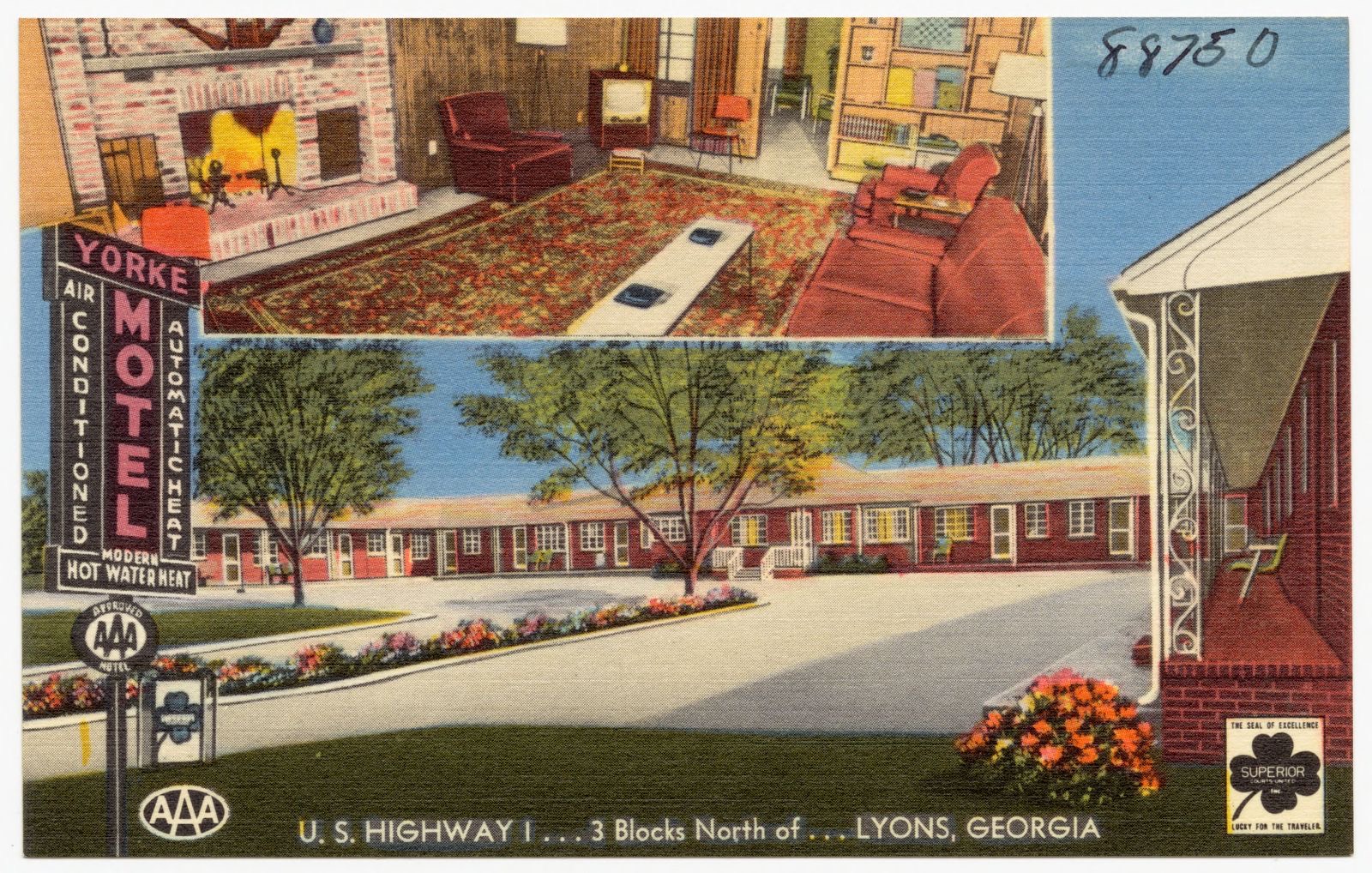
Selected from the Digital Public Library of America's 7 image records catalogued for this county. Every one shown here carries a public-domain status or a licence that permits reuse on a site that carries advertising; non-commercial, share-alike and restricted images are excluded. The selection is spread across the county's towns (at most eight per town), so no single institution's bulk upload crowds out the rest. Each opens the holding library's record, and the complete set at the Digital Public Library of America is one click away.





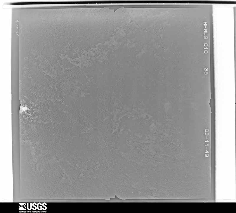
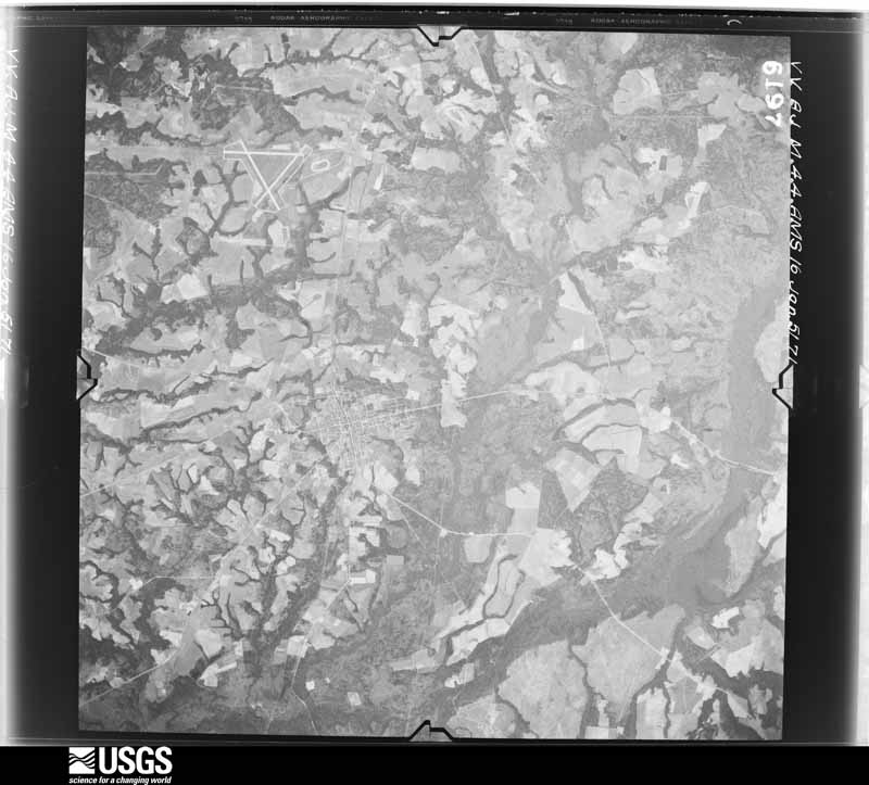
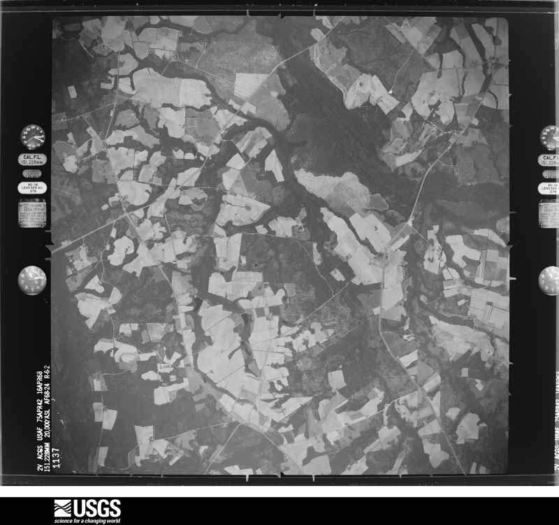
Flown by the U.S. Geological Survey between 1937 and 1989, the Aerial Photo Single Frames collection is the definitive mid-century view of the land: fields, roads and rivers as the camera saw them. The Survey holds 921 frames inside the rectangle that bounds this county; the 29 frames below were taken over the county itself, chosen across the decades of flights (at most four a year from that rectangle), so one flight cannot crowd out the rest. The full set is free to browse and download at EarthExplorer under the dataset Aerial Photo Single Frames.












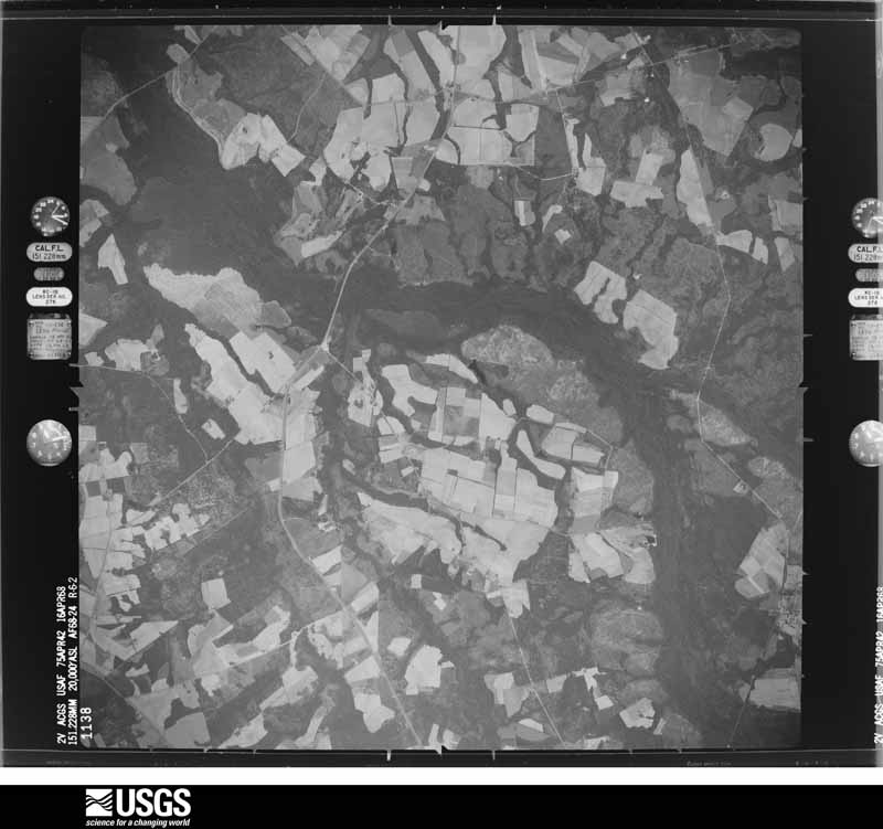

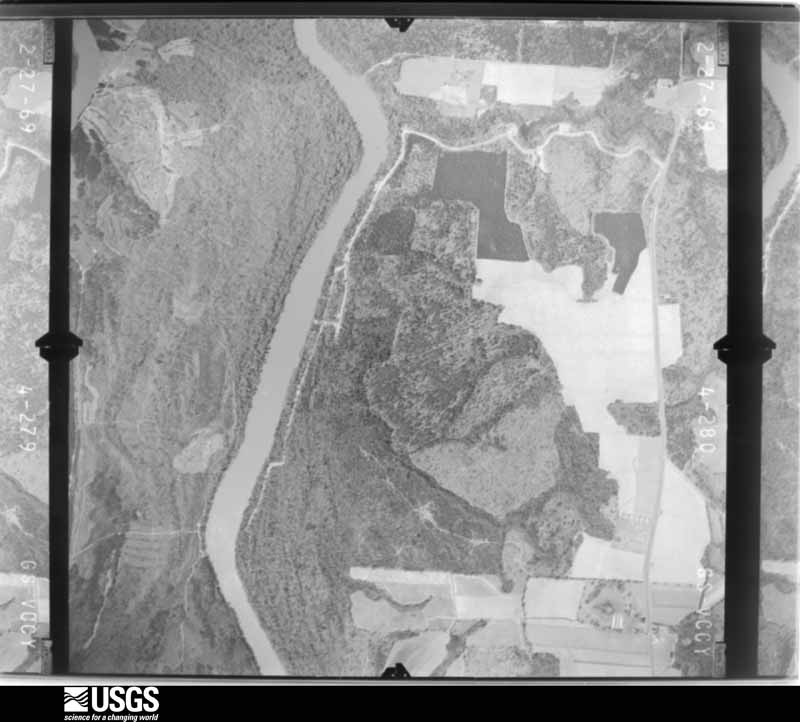
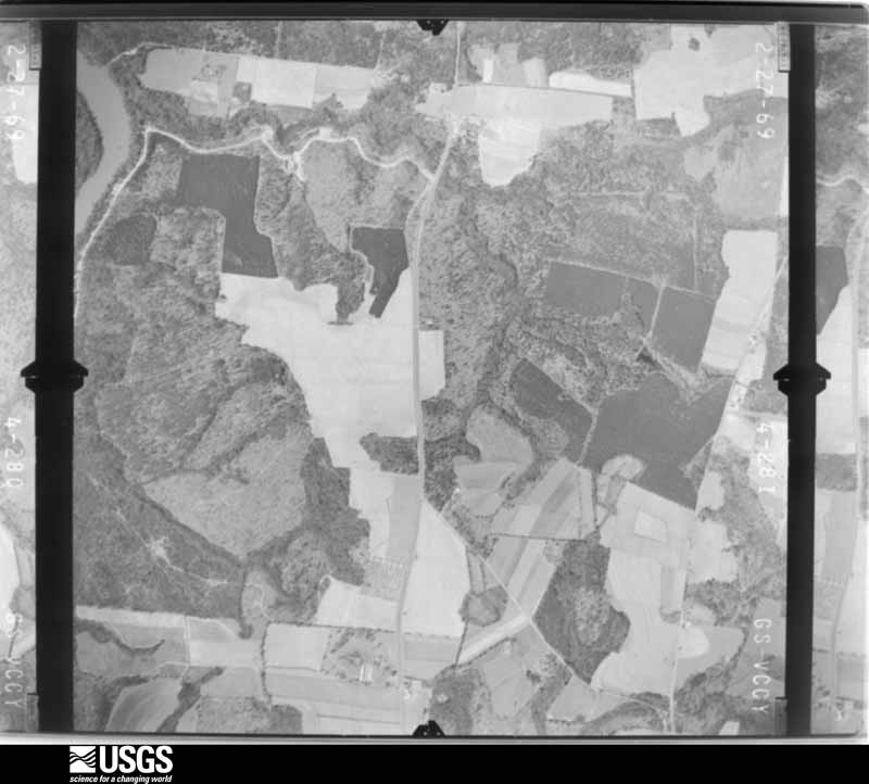

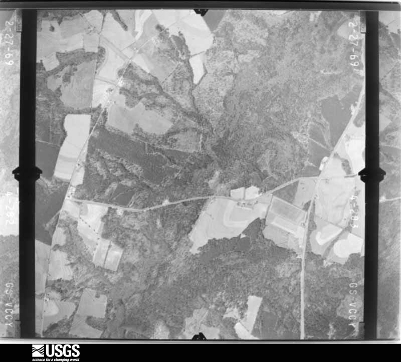








The thermometers that kept this county's weather, as the federal records hold them. The extremes below are measured values from those records, not estimates.
Who lived here in 1950, one enumeration district at a time, as the Census Bureau described each district. Each row opens its official National Archives result, with Population Schedules and ED Maps available there.
Every wildfire the federal occurrence database records inside this county: 2,129 of them, burning about 6,368 acres. 68 started naturally and 370 were recorded as arson. Each settlement page carries the fires within five miles of it.
| Reported cause | Fires |
|---|---|
| Debris and open burning | 1133 |
| Arson/incendiarism | 370 |
| Equipment and vehicle use | 240 |
| Missing data/not specified/undetermined | 104 |
| Recreation and ceremony | 85 |
| Natural | 68 |
| Misuse of fire by a minor | 67 |
| Smoking | 53 |
| Railroad operations and maintenance | 9 |
The five largest, by the area the report gives. One of them was set deliberately.
| Date | Cause | Size | Reported by | Name on the report |
|---|---|---|---|---|
| 7 January 2011 | Missing data/not specified/undetermined | 90 acres | Georgia Forestry Commission | FY2011-TOOMBS-071 |
| 4 April 2004 | Arson/incendiarism | 90 acres | Georgia Forestry Commission | not named |
| 6 March 1997 | Debris and open burning | 88 acres | Georgia Forestry Commission | not named |
| 12 March 2011 | Debris and open burning | 85 acres | Georgia Forestry Commission | FY2011-TOOMBS-123 |
| 5 April 2006 | Debris and open burning | 83 acres | Georgia Forestry Commission | not named |
| 15 September 2018 | Natural | 78 acres | Georgia Forestry Commission | FY2019TOOMBS003 |
| 11 February 2015 | Debris and open burning | 74 acres | Georgia Forestry Commission | FY2015-TOOMBS-020 |
| 20 June 2008 | Debris and open burning | 74 acres | Georgia Forestry Commission | not named |
Every settlement page carries the fires within five miles of it - see the settlement index below.
The NOAA Storm Events Database holds 154 reports for this county, causing 1 death, 8 injuries and about $4,674,280 in recorded property damage. Each settlement page carries the reports that name it.
| Kind of event | Reports |
|---|---|
| Thunderstorm Wind | 96 |
| Hail | 32 |
| Tornado | 11 |
| Flash Flood | 6 |
| Lightning | 5 |
| Flood | 3 |
| Heavy Rain | 1 |
The most serious of them, by death, then injury, then recorded damage. The accounts are quoted exactly as the forecast office filed them.
| When | Event | Place named | Harm | What the report says |
|---|---|---|---|---|
| July 2002 | Lightning | Lyons | 1 killed | The Advance Progress Newspaper of Vidalia reported that lightning struck and killed a 45-year old man while on a construction site at the Toombs County Middle School on Center Road. The individual was part of a crew of construction workers at the school. While the others had sought shelter in their vehicles during the thunderstorm, the worker killed had returned to the construction site to retrieve some tools. It was while doing this that he was struck and killed by lightning. |
| May 1984 | Tornado (F1) | not stated | 3 hurt, $2,500,000 | no account filed |
| May 2008 | Tornado (EF2) | Normantown | 3 hurt, $500,000 | A damage survey conducted by the National Weather Service Forecast Office in Peachtree City, Georgia confirmed that an EF2 tornado touched down in extreme northwest Toombs county, approxmiately three miles south-southwest of Normantown. This tornado was spawned by the same thunderstorm that less than 10 minutes prior had spanwed an EF3 tornado, the strongest tornado of this event, just south of Soperton in Treutlen county, which tracked into extreme northeast Montgomery county. This first tornado in Toombs county was only on the ground for about one mile, but caused considerable damage. Four mobile homes were completely destroyed, resulting in three minor injuries and the displacement of seven families from their homes. A church also sustained heavy damage. Two brick homes were damaged as well as several barns, sheds, and storage buildings. In addition a tractor-trailer rig was overturned. Some 200 to 300 pine trees were also blown down in the area. The tornado path width was determined to be 150 yards. |
| January 1975 | Tornado (F2) | not stated | 1 hurt, $25,000 | no account filed |
| January 1971 | Tornado (F1) | not stated | 1 hurt, $25,000 | no account filed |
| August 2007 | Thunderstorm Wind | Vidalia | $250,000 | The Toombs County Emergency Management Director reported that a thunderstorm downburst or microburst resulted in considerable damage across the northwest and north central part of the county, but especially in the Vidalia area. More than 30 large oak trees were blown down in the city of Vidalia, proper, with a scattering of other trees down from northwest of Vidalia to near Santa Claus southeast of Vidalia. The worst path of damage extended from just northwest of Vidalia, southeastward through the heart of the city, to just south of town. Several homes were damaged, some from downed trees and others had their roofs blown off. Furthermore, a Hardees restaurant under construction in Vidalia was destroyed when the wind blew down the frame. Several roads were blocked from downed trees, including portions of Georgia Highway 130 and U.S. Highway 1. More than a dozen power lines were also down throughout the northwest part of the county. Much of the city of Vidalia and surrounding areas were left without power, forcing many residents to take shelter in hotels or Red Cross facilities to escape the heat. The Automated Weather Observation Station (AWOS) located in Vidalia recorded a 61 mph wind gust around 440 pm EDT. |
| May 2014 | Hail | Stanleys Store | $154,000 | The public reported hail the size of a hen egg north of New Branch. |
| March 1997 | Thunderstorm Wind | Cedar Crossing | $150,000 | no account filed |
| June 2012 | Hail | Vidalia | $134,500 | The public reported that golf ball sized hail fell in Vidalia for about 15 minutes. |
| August 2020 | Lightning | Vidalia | $75,000 | The Toombs County 911 center reported a home struck by lightning on Meadows Lane. The resulting fire caused substantial damage to the home. |
| April 2014 | Thunderstorm Wind | Grays Landing | $75,000 | A National Weather Service storm survey determined that straight-line winds from a bow echo resulted in scattered wind damage across southern Toombs County from Greys Landing Road to Charlie Hart Road. Numerous trees were uprooted or snapped in sporadic intervals in several locations along the roughly 11-mile path. Damage to livestock buildings and a center pivot irrigation system occurred. An unanchored single-wide mobile home was rolled and destroyed. Wind gusts were estimated to be around 70 MPH. |
| June 2012 | Thunderstorm Wind | Mcnatt Falls | $65,000 | Toombs County Emergency Management reported that two to three trees were blown down onto two houses and a car. |
| July 2002 | Thunderstorm Wind | Countywide | $60,000 | The Advance Progress newspaper of Vidalia reported that extensive damage was caused by thunderstorm winds to homes and businesses in the city. A canopy was ripped off a food store in town and carried some 100 feet in the air before landing on a Jeep Cherokee at a car sales lot causing considerable damage to the vehicle. Roof and other structural damage was reported to a number of homes and businesses in the downtown area. One brick building lost its roof and the walls caved in. The Toombs county 911 center reported that trees and power lines were down across the county. |
| April 2020 | Thunderstorm Wind | Grays Landing | $50,000 | Emergency Management confirmed reports of numerous, 50 to 100, trees down mainly along Hwy 147 near US Hwy 1. Trees blocked a large section of Hwy 147 which also happens to be main evacuation route for Plant Hatch. |
| May 2017 | Tornado (EF1) | Charles | $50,000 | A National Weather Service survey team found that an EF1 tornado with maximum wind speeds of 95 MPH and a maximum path width of 440 yards touched down in a residential section of southeast Vidalia between Laurel Drive and Maple Drive. The tornado moved east-northeast crossing Highway 280 where it damaged the roofs of several businesses bent a large flag pole near Brantley's Marine and Guns. The tornado continued moving east-northeast snapping or uprooting numerous trees until ending just north of the city of Lyons along U.S. Highway 1. No injuries were reported. [05/24/17: Tornado #7, County #1/1, EF-1, Toombs, 2017:081]. |
| April 2006 | Thunderstorm Wind | Normantown | $50,000 | The Toombs County Emergency Management Director reported that an apparent microburst or downburst caused considerable damage to trees and structures in a small area approximately three miles southeast of Normantown. The majority of the damage occurred along Geren Williams Road, just west of U.S. Highway 1 and just south of the Emanuel county line. A roof was blown off a double-wide mobile home with minor to moderate damage noted to the adjacent 1000 square foot site-built home. Another 200 to 250 yards further downstream, the roof was blown off a barn and one 18-20 foot cedar tree was snapped off four feet above the ground. A little further downstream, a large oak tree was uprooted causing an adjacent burial vault to be unearthed. All together three to four large trees were uprooted or broken off during the event. |
| April 2006 | Hail | Cedar Crossing | $50,000 | The Toombs County Emergency Management Director reported half-dollar to golf ball-sized hail in far southern Toombs county south of Cedar Crossing. Golf ball-sized hail damaged at least 10 percent of the cabbage crop with an estimated damage to crops of $5,000 alone. The Macon Telegraph reported that nickel-sized hail was observed in the area. |
| March 2000 | Tornado (F0) | Stanleys Store | $50,000 | Sight survey by NWS personel verified that a weak tornado briefly touched down along a 1/4 to 1/3 mile long path in southeast Toombs county. The storm destroyed a mobile home and 3 vehicles in an open area. Thirty to forty trees alongside the open area were uprooted or snapped off. The storm path varied 100 to 200 yards wide. |
| January 2006 | Thunderstorm Wind | New Branch | $45,000 | A National Weather Service damage survey team in conjunction with the Toombs County Emergency Management Director reported that a bow echo of straight-line winds caused extensive damage in an area approximately 10 to 12 miles south of Lyons in southern Toombs county. Two trailer homes were destroyed and many trees and power lines were down in the area between Cedar Crossing and New Branch along and near U.S. Highway 1. While initially believed to have been a tornado, the damage survey concluded otherwise. |
| June 2010 | Thunderstorm Wind | Elton | $25,000 | The Toombs County Emergency Management Director reported that a metal high voltage power line pole was down on Van Lewis Road approximately five miles northeast of Lyons. |
| June 1997 | Thunderstorm Wind | Vidalia | $25,000 | Thunderstorm winds overturned one airplane and damaged two others. The roof was torn off of one building and two side panels were damaged. Two other buildings and a car were also damaged. Several power lines were downed in the area. |
| June 1968 | Tornado (F2) | not stated | $25,000 | no account filed |
| May 2007 | Hail | Vidalia | $21,000 | The Toombs County Emergency Management Director reported that a very southwestward moving thunderstorm dumped hail for up to an hour across parts of north central and northwest Toombs county. Hail was first reported three miles northeast of Vidalia around 720 pm EDT and ended about three miles southwest of Vidalia near the Montgomery county line around 830 pm EDT. Hail ranged in size from golf balls northeast of Vidalia, to pennies in Vidalia, to half-dollars southwest of Vidalia near the Montgomery county line. |
| April 2018 | Thunderstorm Wind | Vidalia | $20,000 | The Toombs County Emergency Manager reported a few trees blown down around the intersection of Highway 292 and Fowler Street and damage to the roof of Vidalia High School nearby. |
| August 2020 | Thunderstorm Wind | Vidalia | $15,000 | The Toombs County Emergency Manager reported several trees blown down from Vidalia to Toombs Central. |
| May 2016 | Thunderstorm Wind | Rock Spgs | $15,000 | The Toombs County Emergency Manager reported several trees blown down in the Cedar Crossing area and on Harden Chapel Road and Ezra Taylor Road where a power line was also knocked down. Three large pecan trees and several pine trees were blown down on Johnson Corner Road. |
| August 2012 | Flash Flood | Santa Claus | $15,000 | Several private ponds overflowed and washed out a few secondary dirt roads 1 to 2 miles east of Santa Claus. A pond overflowed and caused erosion damage to Ben Roy McLeandon Road. |
| July 2008 | Thunderstorm Wind | New Branch | $15,000 | The Toombs County Emergency Management Director reported that many trees and power lines were blown down in a small area just east-northeast of New Branch from a thunderstorm downburst. Georgia Highways 56 and 178 were both blocked from downed trees. In addition, the roof was blown off an abandoned mobile home in the area. |
| April 2020 | Thunderstorm Wind | New Branch | $10,000 | Tree down on a home along Clifford Rogers Road. |
| April 2020 | Thunderstorm Wind | Cedar Crossing | $10,000 | Tree down on a home near Coward Farms on Hwy 56. |
| April 2009 | Flood | Vidalia | $10,000 | The Toombs County Emergency Management Director reported that up to 30 roads across the county had to be closed as a result of flooding from several days of heavy rain. Several dirt roads were washed out. Minor flooding was also observed to fields and woodlands near creeks and rivers in the county. More than six inches of rain fell in parts of the county. This rain fell on saturated soil from several prior weeks of above normal rainfall. |
| June 1998 | Thunderstorm Wind | Vidalia | $10,000 | Toombs county 911 reported trees and power lines were blown down across the county. Some homes had damage to shingles and had trees fall on them. |
| May 2025 | Thunderstorm Wind | New Branch | $8,000 | Emergency manager reported numerous trees down along Hwy 56 in the vicinity of Jeff Webber Rd. |
| May 2025 | Thunderstorm Wind | Cedar Crossing | $8,000 | Emergency manager reported numerous trees down along Hwy 147. |
| June 1997 | Thunderstorm Wind | Vidalia | $7,500 | Trees were downed across the road on Lions Center Road, as well as on a mobile home in the same area. |
| April 2015 | Thunderstorm Wind | Lyons | $6,000 | The Toombs County 911 center reported numerous trees blown down across the county, including in Lyons. |
| August 2013 | Flash Flood | Cedar Crossing | $6,000 | The Toombs County emergency manager reported flood waters from nearby creeks and streams overflowed portions of around 6 roads in the English Eddy area. This included portions of Georgia Highway 147 and Cedar Crossing Road. |
| August 2005 | Thunderstorm Wind | Vidalia | $6,000 | The Federal Aviation Administration (FAA) Automated Weather Observation Station (AWOS) at the Vidalia airport recorded a wind gust of 62 knots or 71 mph. The Toombs County Emergency Management Director reported that the wind gust blew shopping carts about the Vidalia Wal Mart parking lot, located adjacent to the airport, one of which rammed into a Dodge pickup truck damaging the vehicle. At a nearby technical institute, a large oak tree was blown down and a picnic umbrella was dislodged from its anchor causing damage to three nearby vehicles. |
| April 2020 | Thunderstorm Wind | New Branch | $5,000 | EM reported multiple trees down at the intersection of Hwy 178 and Clifford Rogers Road. |
| August 2020 | Thunderstorm Wind | Vidalia Muni Arpt | $5,000 | The Toombs County 911 center reported trees and power lines blown down from the southeast side of Vidalia on Aimwell Road to northeast of Lyons along Anderson Circle. |
| August 2014 | Thunderstorm Wind | Vidalia | $5,000 | The Emergency Manager reported 10 to 12 trees down around Vidalia, with several more down at the local golf course. |
| May 2008 | Tornado (EF1) | Elton | $5,000 | A damage survey conducted by the National Weather Service in Peachtree City, Georgia confirmed that yet another tornado touched down in Toombs county. This tornado tracked across far northeast Toombs county. This tornado was spawned by the same thunderstorm that produced both the EF3 tornado in Treutlen county and the EF1 tornado in northwest tornado. This tornado touched down in far northeast Toombs county, approximately seven miles northeast of Lyons, moved north-northeast toward the intersection of the Toombs, Emanuel, Candler, and Tatnall county borders, then curved to the east and moved into Tatnall county. As the tornado moved into Tatnall county, it strengthened to an EF3 causing considerable damage in the Cobbtown area of northern Tatnall county. The entire track of the tornado was approximately seven miles long, of which roughly 2.8 miles fell within Toombs. The maximum path width was 100 yards. Numerous trees were either snapped in half or uprooted along the path of the tornado in northeast Toombs county. No structural damage was reported or observed as the tornado moved through this very rural area of northeast Toombs county. |
| August 2006 | Lightning | Cedar Crossing | $5,000 | The Toombs County Emergency Management Director reported that lightning struck and set a barn on fire off Georgia Highway 56 near Cedar Crossing. |
| July 2002 | Thunderstorm Wind | Countywide | $5,000 | The Toombs county sheriff reported that numerous trees were down across the county, especially the southern part. |
| August 2000 | Thunderstorm Wind | Stanleys Store | $5,000 | The Toombs county 911 center reported that several large trees were blown down. |
| June 1998 | Thunderstorm Wind | Lyons | $5,000 | Toombs county 911 reported power lines and trees knocked down and an onion shed destroyed. Hail of unknown size also fell. |
| June 1994 | Thunderstorm Wind | Vidalia | $5,000 | Several trees and few power lines were downed by thunderstorm winds. |
| January 1993 | Thunderstorm Wind | not stated | $5,000 | The strong thunderstorm that caused damages in Wheeler and Montgomery Counties continued into Toombs County. Scattered trees were blown onto power lines in northwestern Toombs County near the Toombs-Montgomery county line. Isolated utility outages resulted. |
| August 2020 | Thunderstorm Wind | Vidalia | $4,000 | The Toombs County 911 center reported trees and power lines blown down across the county from the south side of Vidalia to near English Eddy. |
| April 2017 | Thunderstorm Wind | Cedar Crossing | $3,000 | The Toombs County Emergency Manager reported trees blown down along George Brinson Road. |
| May 2012 | Thunderstorm Wind | Cedar Crossing | $3,000 | The public reported that nine trees were blown down near a residence in southern Toombs County. Tin roofs were pulled off outbuildings. |
| June 2010 | Thunderstorm Wind | Lyons | $3,000 | The Toombs County Emergency Management Director reported that at least six trees were down across the county. Several power outages were noted as well. |
| December 2009 | Flood | Charles | $3,000 | The Toombs County Emergency Management Director reported minor flooding of Swift Creek along Davis Road northeast of Vidalia. A building adjacent to the creek suffered damage from flooding. Some minor debris removal, adjacent to the creek, was also required. |
| February 2008 | Thunderstorm Wind | Vidalia | $3,000 | The Toombs County 911 Center reported that over six trees and more than three power lines were down within the city of Vidalia. |
| July 2007 | Thunderstorm Wind | Normantown | $3,000 | The Toombs County Emergency Management Director reported that at least 10 trees were down across the county, including the Vidalia area. |
| July 2007 | Thunderstorm Wind | Lyons | $3,000 | The Toombs County Emergency Management Director reported that a thunderstorm downburst blew down 10 to 20 trees northeast of Lyons. In addition, one home lost about 40 shingles. One tree was also down in the city of Lyons as well. |
| March 2015 | Thunderstorm Wind | Vidalia | $2,500 | The Toombs County 911 center reported numerous trees blown down in and around Vidalia. |
| January 2017 | Thunderstorm Wind | Cedar Crossing | $2,000 | The Toombs County Emergency Manager reported trees blown down on Highway 1 near Todd's Fish Farm. |
| March 2015 | Thunderstorm Wind | Vidalia | $2,000 | The Toombs County 911 center reported several trees blown down across the county. |
| July 2012 | Thunderstorm Wind | Cedar Crossing | $2,000 | The Toombs County 911 Center relayed reports of several downed trees across the southern portion of the county. |
Named settlements recorded in the Geographic Names Information System, each with the topographic sheets covering it. Villages, hamlets and abandoned places alike. Each is shown with the nearest named watercourse or landform and the survey quadrangle it falls on. The 1 place that was also surveyed for fire insurance comes first, with the number of atlases and photographs held for them.
Vidalia-Lyons census division · 30474 · Vidalia quadrangle
9 sheets, 1957 to 1988
Fire insurance: 3 atlases
Vidalia-Lyons census division · 30436 · Cobbtown quadrangle
9 sheets, 1957 to 1988
No longer a settlement
Cedar Crossing census division · 30436 · On Williams Creek · Baxley NE quadrangle
8 sheets, 1953 to 1988
Cedar Crossing census division · 30473 · On Little Alligator Creek · Grays Landing quadrangle
8 sheets, 1953 to 1988
Cedar Crossing census division · 30436 · Johnson Corner quadrangle
9 sheets, 1957 to 1988
Cedar Crossing census division · 30473 · Grays Landing quadrangle
8 sheets, 1953 to 1988
Vidalia-Lyons census division · 30436 · On Swift Creek · Lyons quadrangle
10 sheets, 1957 to 1988
Cedar Crossing census division · 30473 · On Oconee Creek · Alston quadrangle
8 sheets, 1957 to 1988
Cedar Crossing census division · 30436 · Johnson Corner quadrangle
9 sheets, 1957 to 1988
Cedar Crossing census division · 30436 · Johnson Corner quadrangle
9 sheets, 1957 to 1988
The vanished settlements of Toombs County: the places named above that are no longer on the map.
9 topographic sheets and 3 fire insurance atlases, 1913 to 1938
The complete index, with nothing left out. Each of these is a separate record with its own page: a federal survey report, or the case file that argued a property on to the National Register. Both are public domain and reproduced word for word.
The vanished settlements of Toombs County, the places these records name that are no longer on the map.