 Block
From the record
5 National Register listings published here.
Sources: the National Register database, National Park Service
104 topographic sheets cover 35 settlements here, and 5 properties are on the National Register of Historic Places.
5 National Register listings published here.
Sources: the National Register database, National Park Service
Taken for the Office of War Information and the Farm Security Administration, who photographed the country between 1935 and 1944. Works of United States government photographers, with no known restriction on use. Each opens its catalogue record.
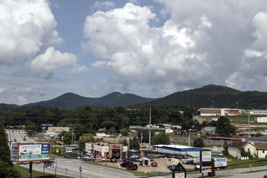

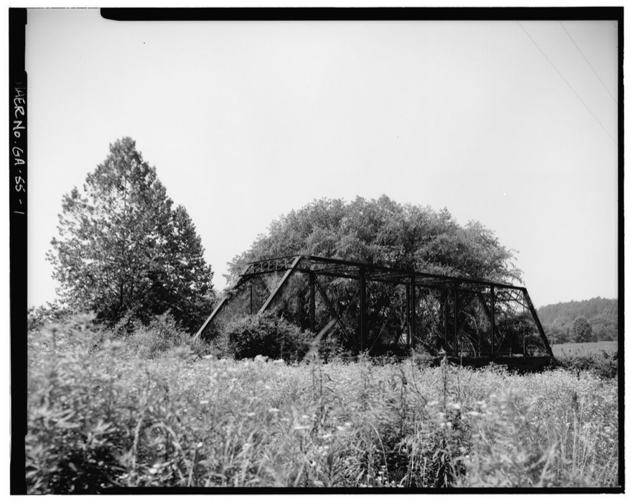
Every property in this county listed on the National Register of Historic Places, with the year it was listed and the federal nomination document.
| Photograph | Property | Type | Listed | Reference |
|---|---|---|---|---|
 | Nottely Hydroelectric Project | district | 2017 | 100001455 |
 | Old Union County Courthouse | building | 1980 | 80001249 |
 | Raburn-Casteel House | building | 2001 | 01001181 |
 | Union County Jail | building | 1985 | 85002088 |
 | Walasi-Yi Inn | building | 1979 | 79000749 |
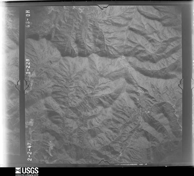
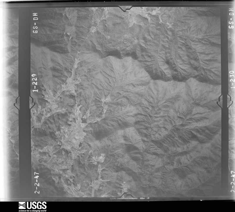
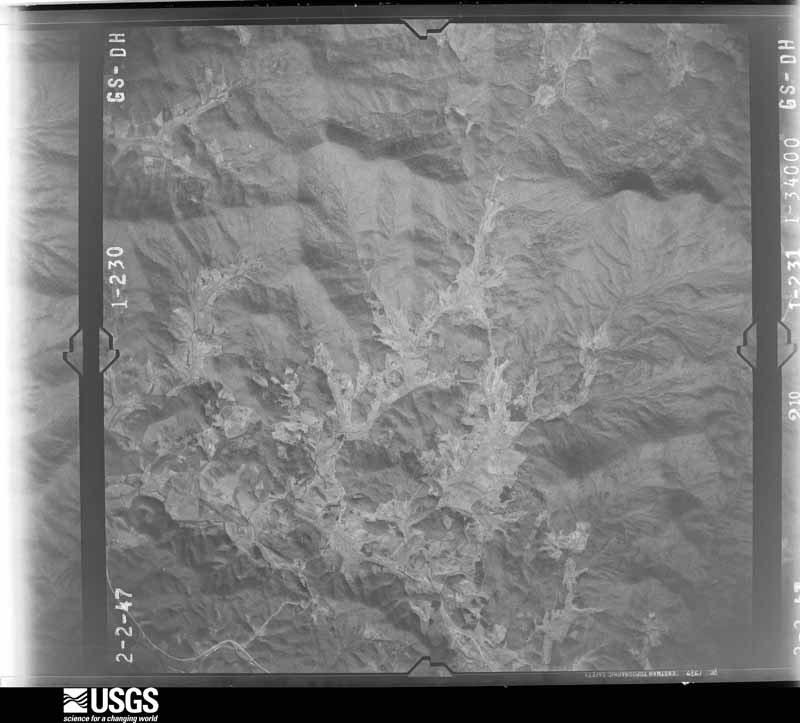
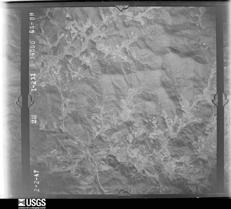
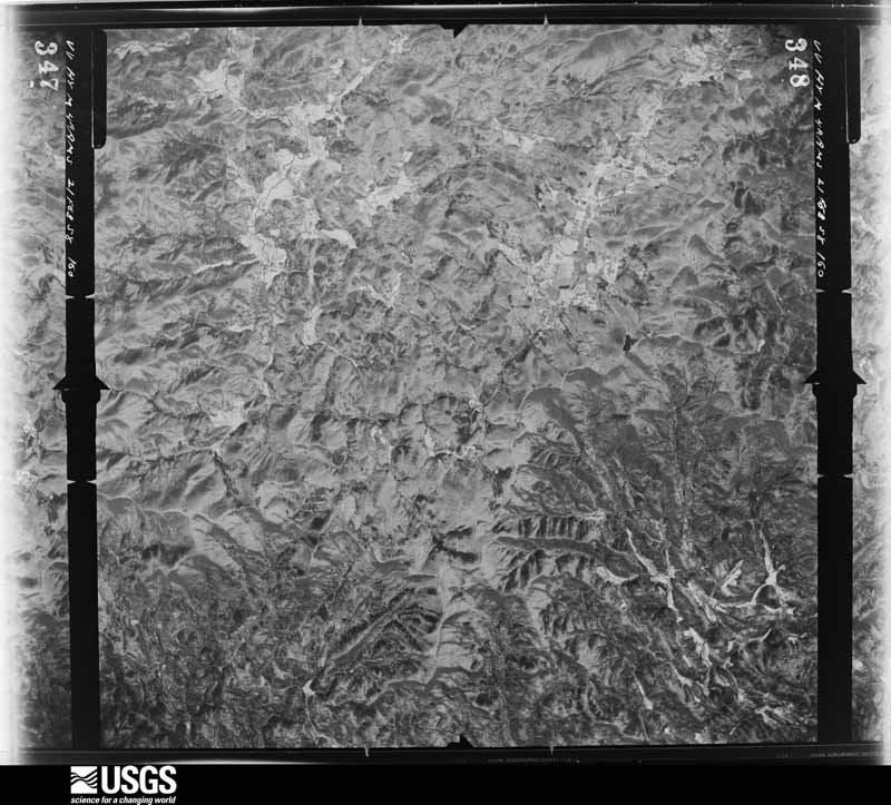
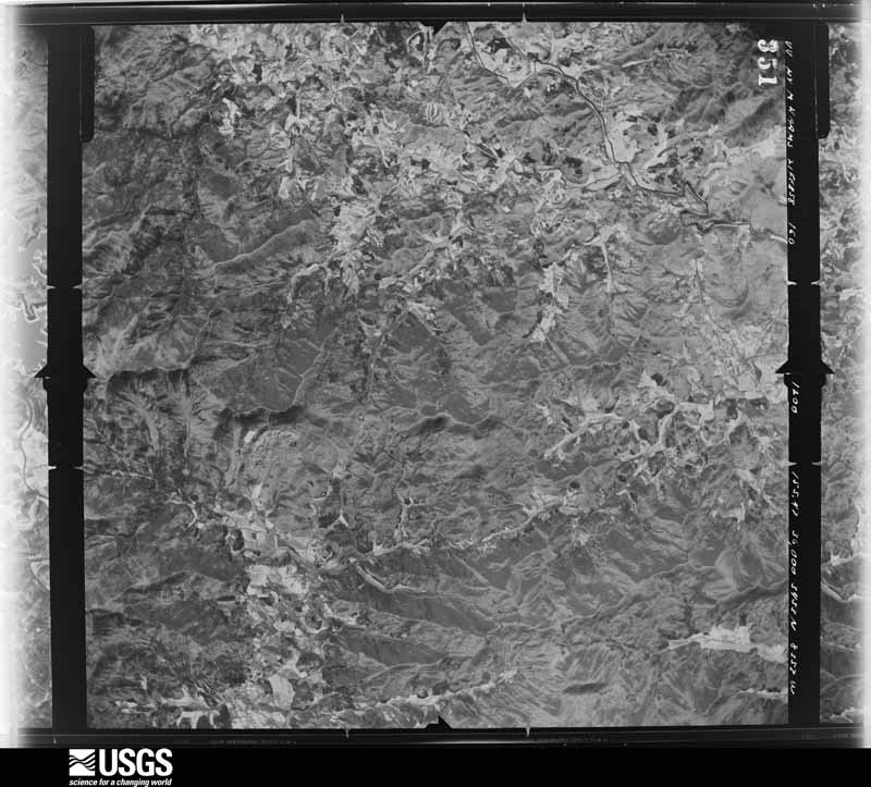
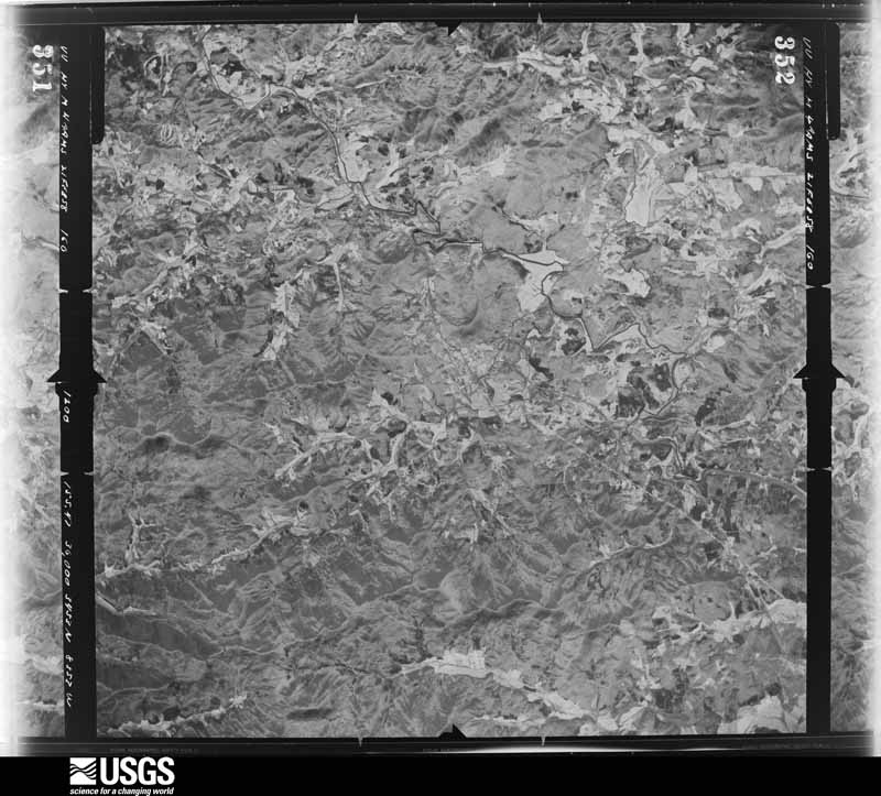
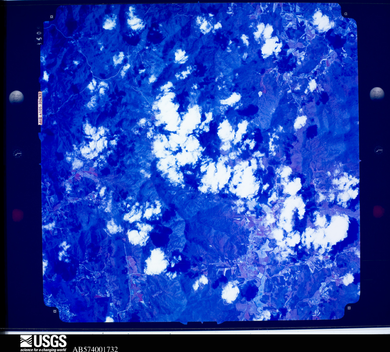
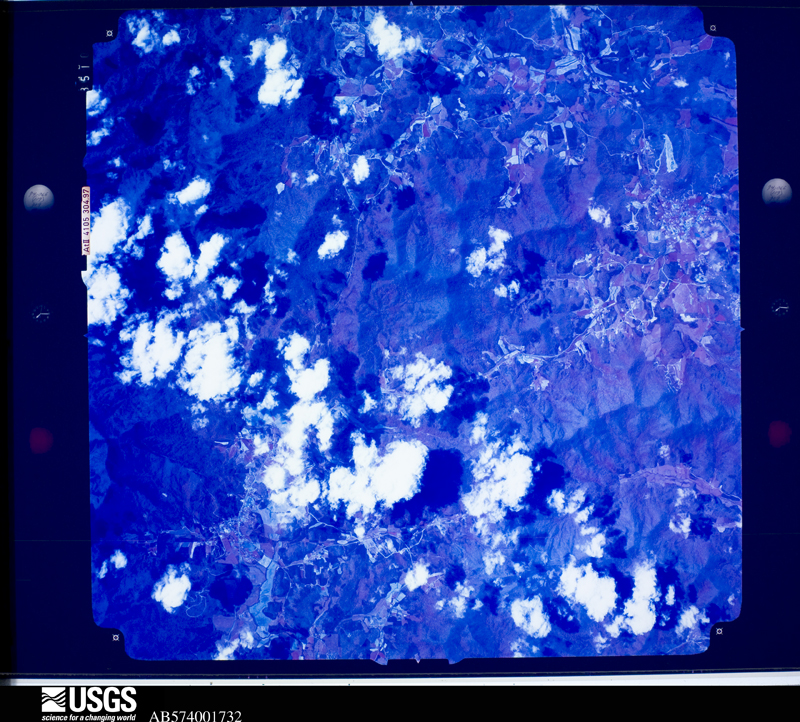
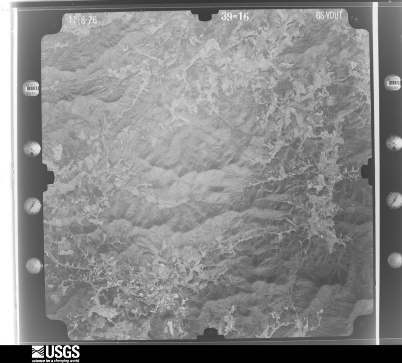
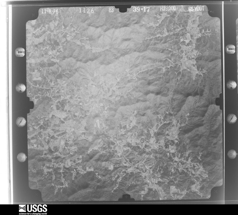
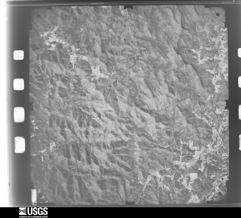
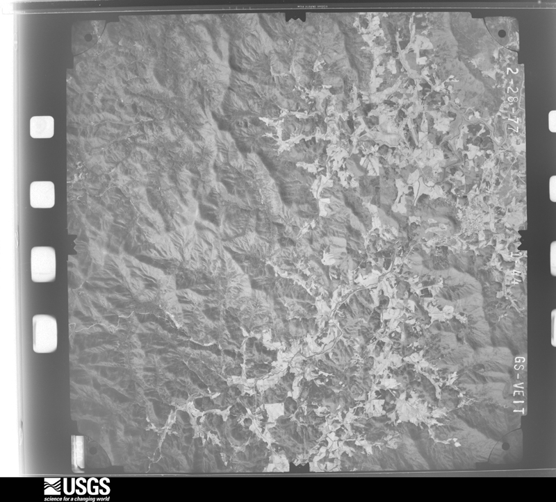
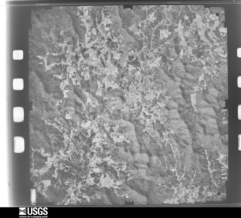
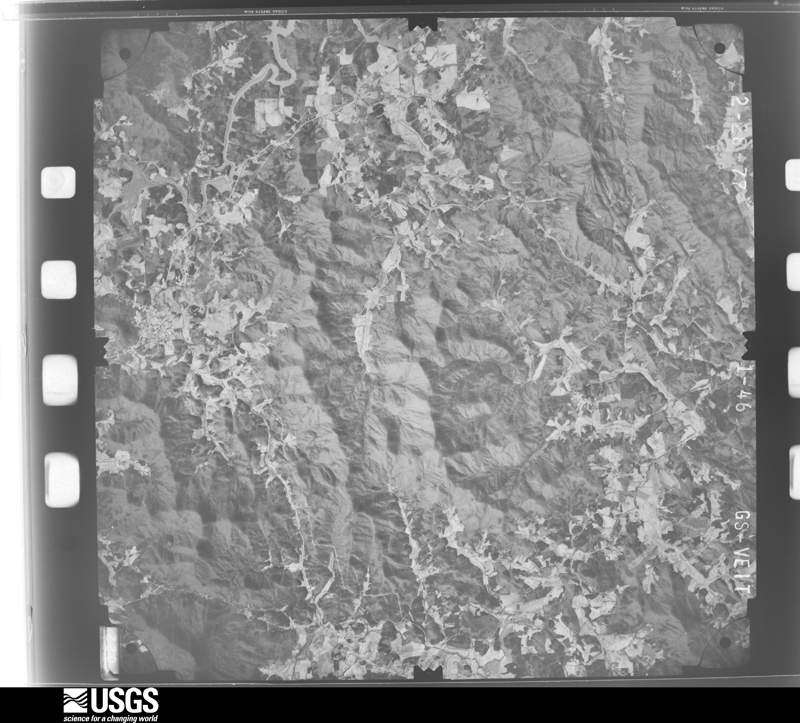
Flown by the U.S. Geological Survey between 1937 and 1989, the Aerial Photo Single Frames collection is the definitive mid-century view of the land: fields, roads and rivers as the camera saw them. The Survey holds 248 frames inside the rectangle that bounds this county; the 23 frames below were taken over the county itself, chosen across the decades of flights (at most four a year from that rectangle), so one flight cannot crowd out the rest. The full set is free to browse and download at EarthExplorer under the dataset Aerial Photo Single Frames.
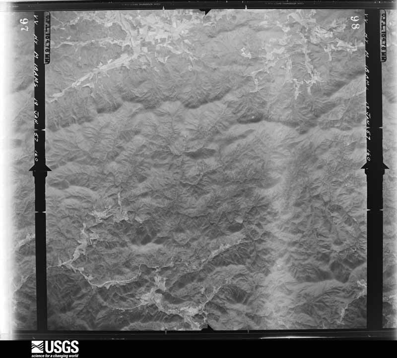
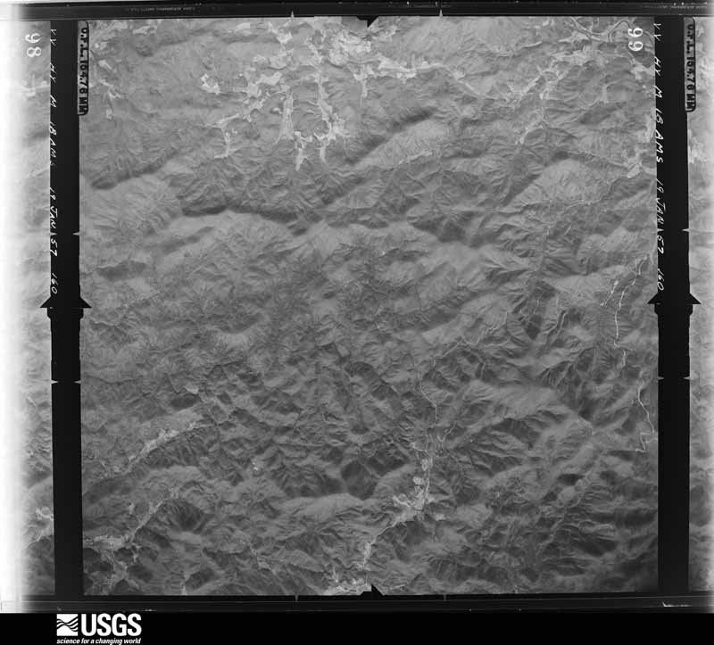
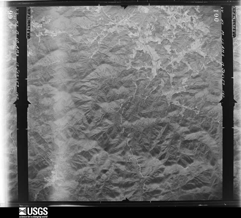
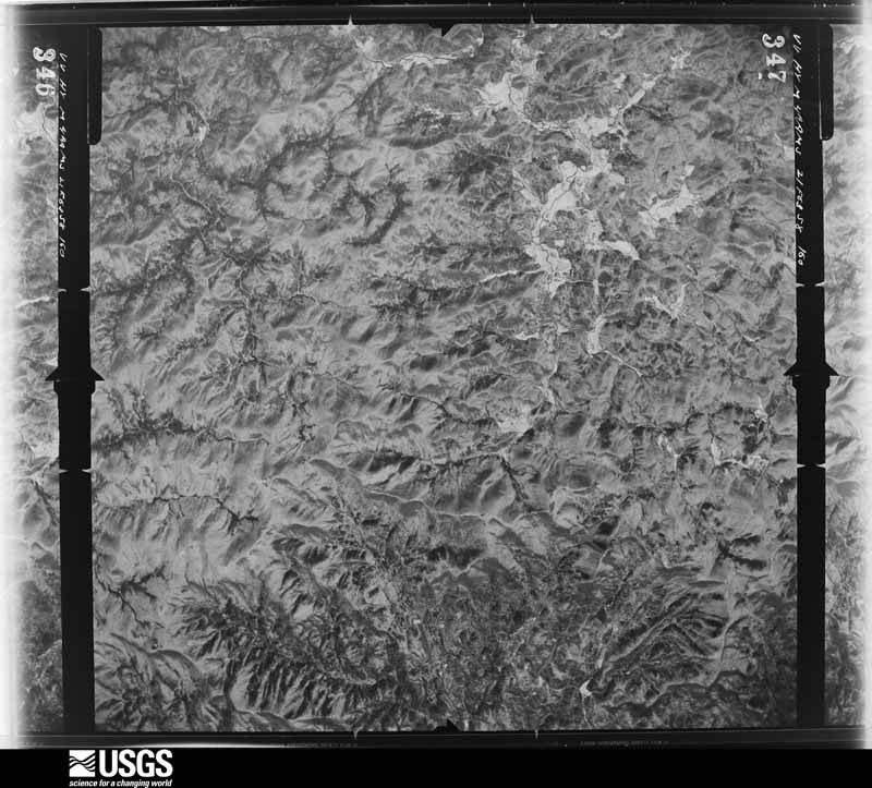




The thermometers that kept this county's weather, and the gages that measured the flow of its streams, as the federal records hold them. The extremes below are measured values from those records, not estimates.
Who lived here in 1950, one enumeration district at a time, as the Census Bureau described each district. Each row opens its official National Archives result, with Population Schedules and ED Maps available there.
Every wildfire the federal occurrence database records inside this county: 969 of them, burning about 3,447 acres. 9 started naturally and 88 were recorded as arson. Each settlement page carries the fires within five miles of it.
| Reported cause | Fires |
|---|---|
| Debris and open burning | 664 |
| Missing data/not specified/undetermined | 115 |
| Arson/incendiarism | 88 |
| Equipment and vehicle use | 34 |
| Smoking | 24 |
| Recreation and ceremony | 22 |
| Natural | 9 |
| Misuse of fire by a minor | 8 |
| Fireworks | 2 |
| Power generation/transmission/distribution | 2 |
| Other causes | 1 |
The five largest, by the area the report gives. Three of them were set deliberately.
| Date | Cause | Size | Reported by | Name on the report |
|---|---|---|---|---|
| 20 November 1994 | Recreation and ceremony | 622 acres | Chattahoochee-Oconee National Forest | CEDAR MTN |
| 23 December 2016 | Equipment and vehicle use | 471 acres | Chattahoochee-Oconee National Forest | BAD SANTA |
| 23 May 2007 | Missing data/not specified/undetermined | 290 acres | Chattahoochee-Oconee National Forest | CHESTNUT MTN. |
| 24 March 2004 | Arson/incendiarism | 275 acres | Chattahoochee-Oconee National Forest | ROCKY KNOB |
| 16 November 2001 | Arson/incendiarism | 150 acres | Chattahoochee-Oconee National Forest | PICKLESIMER FIRE |
| 31 January 2001 | Recreation and ceremony | 73 acres | Chattahoochee-Oconee National Forest | HICKS GAP |
| 12 November 2001 | Arson/incendiarism | 69 acres | Chattahoochee-Oconee National Forest | BRIAR COVE |
| 3 April 1995 | Debris and open burning | 65 acres | Chattahoochee-Oconee National Forest | SWALLOW |
Every settlement page carries the fires within five miles of it - see the settlement index below.
The NOAA Storm Events Database holds 153 reports for this county, causing no deaths, 1 injury and about $3,090,250 in recorded property damage. Each settlement page carries the reports that name it.
| Kind of event | Reports |
|---|---|
| Thunderstorm Wind | 69 |
| Hail | 45 |
| Flash Flood | 22 |
| Flood | 9 |
| Lightning | 5 |
| Tornado | 3 |
The most serious of them, by death, then injury, then recorded damage. The accounts are quoted exactly as the forecast office filed them.
| When | Event | Place named | Harm | What the report says |
|---|---|---|---|---|
| May 1998 | Hail | Ivy Log | 1 hurt, $50,000 | no account filed |
| June 1994 | Tornado (F1) | Blairsville | $500,000 | A weak tornado briefly touched down 10 miles west of Blairsville along U.S Highway 76 and skipped east then lifted about six miles west of Blairsville. Three to four homes were severely damaged and several large trees were either uprooted or snapped midway. |
| May 2011 | Hail | Blairsville | $385,000 | The Union County 911 Center reported that tennis ball-sized hail fell across the northwest part of the county between Jones Creek and Ivy Log. |
| July 2020 | Hail | Choestoe | $300,000 | The public reported hail the size of golf balls at Lake Trahlyta. |
| April 2011 | Thunderstorm Wind | Blairsville | $300,000 | The Union County Emergency Management Director reported that hundreds of trees and dozens of power lines were down throughout the county. Four homes sustained minor to moderate damage from downed trees. Fifty-four roads were closed, at least temporarily, from downed trees. Much of the county was left without power for many hours. The public reported that at least nine trees were down in the far western part of the county near the Fannin county line at a private residence. Two of the trees fell on the home resulting in major damage to the structure. |
| May 2011 | Lightning | Bethlehem | $250,000 | The Union County 911 Center reported that lightning struck a structure on the northwest side of Blairsville on Jewell Mason Road. The home was destroyed from the resulting fire. |
| September 2004 | Flash Flood | Countywide | $250,000 | The Georgia Emergency Mangement Agency, and local newspapers, reported significant flooding across much of the county as anywhere from five to nine inches of rain fell during the afternoon and evening hours. Several roads were blocked from flooding and/or mudslides. Three bridges were washed out. Flash flooding forced the rescues of seven people and three animals from their homes in the Twin Pond and Pegasus Landing areas. |
| May 2006 | Hail | Owltown | $130,000 | The public reported penny-sized hail along U.S. Highway 129 in the southeast part of the county. |
| April 2013 | Flash Flood | Blairsville | $100,000 | County officials reported that Anderson and Coosa Creeks flooded the Mountain Oak Cabins and Campground area around 3.5 miles southwest of Blairsville. The RV park was flooded in low lying areas with a few vacation homes inundated with water. A few culverts were washed out. The Youngcane and Jones Creeks flooded portions of Byers Road around 7 miles west of Blairsville. The flood waters topped the bridge and caused erosion damage to it. |
| May 2011 | Hail | Ivy Log | $100,000 | Several reports of half-dollar to golf ball-sized hail were received from the Union County Sheriff's Office and the public across the northwest part of the county near Nottely Lake, from the Fannin county border southwest of Nottely to the Tennessee state line northeast of Ivy Log. |
| March 1997 | Thunderstorm Wind | Blairsville | $60,000 | no account filed |
| May 1998 | Tornado (F0) | Ivy Log | $50,000 | A severe thunderstorm tracked across northern Union county spawning an intermittent F0 tornado. A combination of tornadic winds, downburst winds and large hail caused damage in a path from Ivy Log to northeast of Blairsville. Sight survey by NWS employees showed 25 homes and 100 vehicles were damaged. Numerous small trees were downed at the Arrowhead RV park on Ivy Log road. Many RVs had dents and damaged windows from hail. Also, several houses had tin roofs blown off. Another was damaged due to a falling tree. An above-ground pool was destroyed and damage to other homes occurred on Timothy Ingram Road and Ross Ridge Drive. The EMA director reported a tornado on the ground and the sight survey showed trees were occasionally downed in a twisting pattern. One minor injury occurred when a young boy was hit by hail. Other reports northeast of Blairsville indicated up to baseball size hail damaged cars. Trees and power lines were downed along highway 76. Some of the trees fell on a car. |
| June 1994 | Tornado (F1) | Blairsville | $50,000 | A weak tornado briefly touched down six miles south of Blairsville on Georgia Highway 129. Two to three homes received roof and window damage while several large trees were uprooted. |
| August 2023 | Flash Flood | Youngstown | $40,000 | The Emergency Manager reported significant flooding near Meeks Parks from high water on Butternut Creek where the creek flows into Nottely River. Floodwaters caused several sinkholes and washed out culverts. Radar estimates indicate that between 5 and 6 inches of rain occurred over the area, resulting in the flash flooding. |
| July 2013 | Flash Flood | Gaddistown | $35,000 | The emergency manager reported several creeks and the upper reaches of the Toccoa River, especially in the Suches area were flooding numerous roads and threatening bridges. The Coosa Creek just west of Blairsville flooded residential yards and briefly entered a home. |
| April 2020 | Flood | Blairsville Arpt | $30,000 | The Emergency Manager reported a culvert washed out on Hayfield Road due to high flow through a Kiutuestia Creek tributary. Radar estimates indicate that 3 to 5 inches of rain fell over the area, causing the flooding. |
| January 2020 | Thunderstorm Wind | Blairsville Arpt | $25,000 | The Union County Emergency Manager reported a parked airplane overturned by the wind at the Blairsville Municipal Airport. |
| April 2020 | Thunderstorm Wind | Hood | $25,000 | Report of multiple trees and powerlines down near the intersection of Helton Creek Road and Holly Lane. |
| April 2020 | Flood | Youngcane | $25,000 | The Emergency Manager reported a partial lane washout and debris blockage due to high water on Watts Creek. Damage occurred to Timber Blossom Drive and Dillard Road, between Timber Ridge road and Emerine Road. |
| October 2020 | Flash Flood | Blairsville | $25,000 | Pappy's Trading Post published photos to their social media site of their property and nearby areas inundated by the Nottely River. The USGS river gage downstream reported the Nottely River rose to Minor Flood Stage, cresting at 14.68 feet. Radar estimates indicate that 4 to 6 inches of rain occurred in the area, resulting in the flash flooding. |
| July 2018 | Thunderstorm Wind | Blairsville | $25,000 | The Union County Emergency Manager reported more than two dozen trees blown down across the county, mainly south and east of Blairsville to the Union/White county line. |
| May 2011 | Lightning | Blairsville | $25,000 | The Union County reported that lightning struck a structure on Everett Box Drive in Blairsville causing damage to the structure. Specific damages were not provided. |
| May 2011 | Thunderstorm Wind | Blairsville | $25,000 | The Union County 911 Center reported that a tree was down on a home on Jones Creek Road in the west part of the county near Jones Creek. |
| April 2011 | Lightning | Blairsville | $25,000 | The Union County Emergency Management Director reported that there were two lightning-related structural fires in the county. No specific details regarding damages were provided. |
| April 2020 | Flood | Rogers | $20,000 | The Emergency Manager reported a culvert washed out on Byers Road due to high flow through Youngcane Creek. Radar estimates indicate 3 to 5 inches of rain occurred over the area, causing the flooding. |
| April 2020 | Thunderstorm Wind | Youngstown | $15,000 | Reports of multiple trees and power lines down in Blairsville. |
| April 2020 | Thunderstorm Wind | Fain | $15,000 | Reports of multiple trees and power lines down near Owltown. |
| April 2020 | Flood | Rogers | $15,000 | The Emergency Manager reported that high flow through Youngcane Creek flooded yards and at least one basement on Wildwater Lane. Radar estimates indicate that 3 to 5 inches of rain occurred over the area, causing the flooding. |
| July 2016 | Thunderstorm Wind | Ivy Log | $15,000 | The Union County 911 center reported numerous trees blown down across, mainly the northern half, of the county. Some location include: near the intersection of Ivylog Road and Moccasin Road; on Ivylog Creek Road; in front of the Home Depot on Highway 515; along Highway 180 near Brasstown Bald; along Chapman Ford Road; on Caldwell Road near Murphy Highway; near the intersection of Jones Creek Road and Dakota lane; near the Ace Hardware on Old Blue Ridge Highway; and near the intersection of Hayfield Road and Highway 515. |
| April 2020 | Thunderstorm Wind | Natal | $10,000 | Multiple reports of trees and powerlines down around the Gaddistown area. |
| April 2020 | Thunderstorm Wind | Bethlehem | $10,000 | Report of several trees down near Nottely Dam. |
| April 2020 | Thunderstorm Wind | Otto | $10,000 | Reports of trees and powerlines down along with structural damage along Mt. Pleasant Church Road W. |
| February 2011 | Thunderstorm Wind | Ivy Log | $10,000 | The Union County 911 Center reported that at least 20 trees and five to eight power lines were down across the county. |
| March 2017 | Thunderstorm Wind | Blairsville | $9,000 | The Union County Emergency Manager reported trees and power lines blown down across the eastern portion of the county from around Town Mountain Road, Trackrock Gap Road, and Town Creek School Road to around the intersection of Wolf Creek Road and Earney Road. |
| June 2015 | Thunderstorm Wind | Rogers | $8,000 | The Union County Emergency Manager reported trees blown down around Highway 515 and Highway 325, around Craig Gap Road and Pine Top Road, and around Trackrock Gap Road and Plott Town Road. |
| June 2013 | Thunderstorm Wind | Ivy Log | $7,500 | The Union County 911 Center reported that numerous trees were down countywide, with many taking down power lines. |
| March 2021 | Thunderstorm Wind | Otto | $7,000 | The Union County Emergency Manager reported trees and power lines blown down from around the intersection of Owltown Road and Bowers Road to Little Ed Road. |
| March 2017 | Thunderstorm Wind | Owltown | $7,000 | The Union County Emergency Manager reported several trees blown down on Owltown and Town Creek School Roads. |
| July 2018 | Thunderstorm Wind | Hood | $6,000 | The Union County Emergency Manager reported several trees and power lines blown down along the Richard B Russell Scenic Highway near Helton Creek. |
| May 2024 | Thunderstorm Wind | Track Rock | $5,000 | Public reports multiple trees down on Black Oak Spur. |
| March 2017 | Thunderstorm Wind | Lance Mill | $5,000 | The Union County Emergency Manager reported several trees blown down across the roadway around John Smith Road at John Smith Way and along Nottely Dam Road at Boy Scout Road and Chrisman Road. |
| September 2009 | Flood | Blairsville Arpt | $5,000 | The Union County 911 Center reported that two roads were closed near Blairsville because of flooding. Creeks and streams across the county were near or slightly above bankful during this time frame. Monetary damage was estimated to be $5000 in the form of debris removal along the flooded roads. |
| June 2007 | Lightning | Blairsville | $5,000 | The Union County Emergency Management Director reported that lightning struck three structures in the city, including the 911 center. Damage there was confined mainly to electronic equipment. Minor damage occurred to the other structures. In addition to the lightning, pea-sized hail fell for up to five minutes in the city. |
| July 2005 | Flash Flood | Bethlehem | $5,000 | The Union County 911 Center reported that several roads between Jones Creek and Bunker Hill in the northwest part of the county were flooded with several inches of water flowing over the roads as a result of small streams and creeks in the area that were out of their banks. At least two culverts were washed out during the flooding. The North Georgia News of Blairsville reported that Meeks Park and the Butternut Golf Course were also flooded. At least 100 residents were left stranded because of washed out roads. Portions of Robin Road and Hidden Valley Road collapsed during the flooding. Thunderstorms had persisted over the area during the early and mid-morning hours dumping five to eight inches of rain throughout this part of the county. |
| May 2003 | Flash Flood | Blairsville | $5,000 | The Union county 911 center reported that a road had become impassable because of rushing water across the road, while another road was closed because a bridge had become impassable with water flowing over the bridge. |
| July 2002 | Lightning | Blairsville | $5,000 | The public reported that lightning set a house on fire. No injuries were reported and damage estimates were not provided. |
| June 2019 | Thunderstorm Wind | Pleasant Hill | $4,000 | The Union County Emergency Manager reported trees blown down on Piney Point Road and Wolf Pen Gap Road. |
| June 2018 | Thunderstorm Wind | Choestoe | $4,000 | The Union County 911 center reported multiple trees blown down along Highway 129 at Vogel State Park. |
| June 2018 | Thunderstorm Wind | Track Rock | $4,000 | The Union County 911 center reported several trees blown down along Highway 515 east of Blairsville. |
| April 2020 | Thunderstorm Wind | Spile | $3,000 | A couple of trees reported down near Ivy Log. |
| May 2020 | Thunderstorm Wind | Natal | $3,000 | The Union County 911 center reported trees and power lines blown down along Highway 60 northwest of Suches. |
| June 2020 | Thunderstorm Wind | Owltown | $3,000 | The Union County 911 center reported e few trees blown down along Wilson Mount Road. |
| July 2011 | Thunderstorm Wind | Blairsville | $3,000 | The Union County 911 Center reported that several trees were down along U.S. Highway 76 west of Blairsville. |
| April 2020 | Thunderstorm Wind | Blairsville Arpt | $2,000 | Large tree down near the intersection of Kiutuestua Creek Road and Lows Mills Road. |
| May 2012 | Thunderstorm Wind | Ivy Log | $2,000 | The Union County 911 Center reported that several trees were blown down along U.S. Highway 129 near Nottely Dam. |
| April 2011 | Thunderstorm Wind | Gaddistown | $2,000 | The Union County Emergency Management Director reported that a few trees were down across the southern and southeastern part of the county. Pea-sized hail also covered the ground in parts of Blairsville. |
| October 2010 | Thunderstorm Wind | Track Rock | $2,000 | The Union County 911 Center reported that six trees were down in the Track Rock, and Foyles Town areas in the east central and southeast part of the county. |
| May 2002 | Thunderstorm Wind | Blairsville | $2,000 | The Union county 911 center reported that several trees were down. |
| July 1997 | Thunderstorm Wind | Blairsville | $2,000 | Several trees and power lines were knocked down by thunderstorm winds. |
| June 2014 | Thunderstorm Wind | Spile | $1,500 | The Union County Emergency Manager reported six trees down across the county, from the northern part of the county to near Blairsville. |
The Survey's mineral resources record lists 19 workings inside this county. 1 still produces and 18 are closed or unrecorded. Each settlement page carries the workings within five miles of it.
| Commodity | Workings |
|---|---|
| Gold | 16 |
| Stone, Crushed/Broken | 1 |
| Iron | 1 |
| Corundum | 1 |
The least common of them first, because a county's hundredth gravel pit says nothing its first ten did not.
| Where | Site | Commodity | Status | Recorded |
|---|---|---|---|---|
| Coffee Prospect | Iron | Prospect | ||
| Track Rock Corundum Mine | Corundum | Past Producer | ||
| Wellborn Mountain Quarry | Stone, Crushed/Broken | Producer | ||
| Butt Mine | Gold | Past Producer | Vein | |
| Coosa Creek Gold Mine | Gold | Past Producer | ||
| Coosa Creek Placer Mine | Gold | Past Producer | Placer | |
| Crumley Creek | Gold | Past Producer | Placer | |
| Gum Log/J.H. Brown/Brown/Placer Mines | Gold | Past Producer | Vein | |
| Killian Mine | Gold | Past Producer | Vein | |
| Legal Tender Mine | Gold | Prospect | Vein | |
| Lot 184 Mine | Gold | Unknown | Vein | |
| Martin Mining Property | Gold | Past Producer | Vein | |
| Mauney Prospect | Gold | Past Producer | Vein | |
| No Name | Gold | Past Producer | Vein | |
| Placer Mine | Gold | Prospect | Vein | |
| Ross Mine | Gold | Unknown | Vein | |
| Stannick | Gold | Prospect | Vein | |
| Teague | Gold | Prospect | Vein | |
| Wellborn-Robinson Property | Gold | Past Producer | Vein |
Named settlements recorded in the Geographic Names Information System, each with the topographic sheets covering it. Villages, hamlets and abandoned places alike. Each is shown with the nearest named watercourse or landform and the survey quadrangle it falls on.
Ivylog census division · 30512 · On McClure Branch · Nottely Dam quadrangle
23 sheets, 1888 to 1988
Blairsville census division · 30512 · On Little Creek · Blairsville quadrangle
23 sheets, 1886 to 1988
Blairsville census division · 30512 · On Sawmill Branch · Mulky Gap quadrangle
23 sheets, 1888 to 1988
Blairsville census division · 30512 · On Long Branch · Coosa Bald quadrangle
23 sheets, 1886 to 1988
No longer a settlement
Blairsville census division · 30512 · On Stephens Branch · Blairsville quadrangle
23 sheets, 1886 to 1988
Blairsville census division · 30512 · On Stink Creek · Coosa Bald quadrangle
23 sheets, 1886 to 1988
Ivylog census division · 30582 · Near Poplar Knob · Blairsville quadrangle
23 sheets, 1886 to 1988
Blairsville census division · 30512 · On Fain Creek · Jacks Gap quadrangle
22 sheets, 1886 to 1988
Suches census division · 30572 · On Pink Davis Creek · Suches quadrangle
24 sheets, 1888 to 1988
Blairsville census division · 30512 · On Helton Creek · Jacks Gap quadrangle
22 sheets, 1886 to 1988
Blairsville census division · 30512 · On Trackrock Branch · Coosa Bald quadrangle
23 sheets, 1886 to 1988
No longer a settlement
Ivylog census division · 30512 · On Charlie Brown Branch · Nottely Dam quadrangle
23 sheets, 1888 to 1988
Blairsville census division · 30512 · On Payne Branch · Mulky Gap quadrangle
23 sheets, 1888 to 1988
Ivylog census division · 30560 · On Mull Creek · Culberson quadrangle
23 sheets, 1888 to 1988
Blairsville census division · 30512 · On Wilson Branch · Coosa Bald quadrangle
23 sheets, 1886 to 1988
No longer a settlement
Ivylog census division · 30560 · Near Chigger Ridge · Culberson quadrangle
23 sheets, 1888 to 1988
Blairsville census division · 30512 · On Brackett Creek · Nottely Dam quadrangle
23 sheets, 1888 to 1988
Blairsville census division · 30512 · On Gillespie Branch · Coosa Bald quadrangle
23 sheets, 1886 to 1988
No longer a settlement
Blairsville census division · 30512 · Near Fort Mountain · Coosa Bald quadrangle
23 sheets, 1886 to 1988
Ivylog census division · 30560 · Near Chigger Ridge · Culberson quadrangle
23 sheets, 1888 to 1988
Blairsville census division · 30512 · On North Fork Kiutuestia Creek · Mulky Gap quadrangle
23 sheets, 1888 to 1988
Blairsville census division · 30512 · On Pleasant Hill · Blairsville quadrangle
23 sheets, 1886 to 1988
Suches census division · 30572 · Near Baker Mountain · Neel Gap quadrangle
24 sheets, 1886 to 1988
No longer a settlement
Blairsville census division · 30512 · On Jones Creek · Mulky Gap quadrangle
23 sheets, 1888 to 1988
No longer a settlement
Suches census division · 30572 · On Grassy Gap Branch · Suches quadrangle
24 sheets, 1888 to 1988
Ivylog census division · 30582 · On Rogers Branch · Blairsville quadrangle
23 sheets, 1886 to 1988
Ivylog census division · 30582 · On Rogers Branch · Blairsville quadrangle
23 sheets, 1886 to 1988
No longer a settlement
Suches census division · 30572 · On Kennedy Creek · Suches quadrangle
24 sheets, 1888 to 1988
Ivylog census division · 30512 · Near Jones Top · Culberson quadrangle
23 sheets, 1888 to 1988
Blairsville census division · 30512 · On Fain Creek · Jacks Gap quadrangle
22 sheets, 1886 to 1988
Blairsville census division · 30512 · On Stephens Branch · Hiawassee quadrangle
24 sheets, 1886 to 1988
No longer a settlement
Blairsville census division · 30512 · On Watts Creek · Mulky Gap quadrangle
23 sheets, 1888 to 1988
No longer a settlement
Blairsville census division · 30512 · On Wellborn Creek · Blairsville quadrangle
23 sheets, 1886 to 1988
The vanished settlements of Union County: the places named above that are no longer on the map.
The complete index, with nothing left out. Each of these is a separate record with its own page: a federal survey report, or the case file that argued a property on to the National Register. Both are public domain and reproduced word for word.
The vanished settlements of Union County, the places these records name that are no longer on the map.